






By clicking "ACCEPT", you agree to be the terms and conditions of each policy linked to above. You also agree to the storing of cookies on your device to facilitate the operation and functionality of our site, enhance and customize your user experience, and to analyze how our site is used.
Arizona Off-Road Trails
373
Total Trail Guides 359

4679
Detailed Waypoints 676
Try a Free 7-Day Trial and unlock it all
Start a Free Trial Most Recent Trail Reviews
Rated 4/5
Open
Visited: 09/22/2026
Hard pack, easy forest service road that is a great back way to the North Rim of the Grand Canyon.


Tyler D’Hulst
Rated 4/5
Open
Visited: 09/22/2026
Spring Canyon is a beautiful drive. We didn’t go out to the cabin but used this western section of road coming back from Crazy Jug

Tyler D’Hulst
Rated 4/5
Open
Visited: 09/22/2026
We took this out to Crazy Jug. The northern section is hard packed forest service road. Not difficult. Very scenic drive through the ponderosas.

Tyler D’Hulst
Rated 5/5
Open
Visited: 09/22/2026
View point is spectacular! Trail was easy going out, no obstacles at all. Saw a Toyota Camery at the viewpoint.


Tyler D’Hulst
Rated 3/5
Open
Visited: 09/22/2026
An alternative route out to Crazy Jug Point. It’s easy and can be scenic in areas. I’d recommend West Ryan out to Crazy Jug though.
Tyler D’Hulst
Rated 3/5
Open
Visited: 09/22/2026
A quick connector trail through the burn patch.
Tyler D’Hulst
Rated 5/5
Open
Visited: 09/20/2026
Leviathan Mine trail is a full day trip. Though it is only 20 miles in length the travel is slow and rough. Majority of the trail you will be going between 5-10 MPH. Then once at the end it connects w...



Eric Gartin
Official Crew
Rated 4/5
Open
Visited: 09/19/2026
Simple road, well graded today. Many mountain bikers coming down from the West out of Breezy Pines. Not too many people out until approaching Senator Hiway. We went East to West as I think thats a bet...



Jeff Burnett
Rated 3/5
Open
Visited: 09/19/2026
The trail itself is not spectacular, it's pretty flat across the plains. However, driving up to the overlook and seeing a huge gaping hole in the ground is a great juxtaposition to the flat trail. The...
Tyler D’Hulst
Rated 3/5
Open
Visited: 09/19/2026
A nice trail ride from the main road down off the plateau. It's graded forest service road until the switchbacks. The switchbacks themselves are not difficult, road is not graded. This section has bee...
Tyler D’Hulst
Rated 3/5
Open
Visited: 09/18/2026
The end of the trail is not well marked, and can cause confusion. Also, vehicle passes are required for all backcountry routes within the Lake Mead National Recreation Area.
Eric Gartin
Official Crew

Ted Whisler
No Rating
Open
Visited: 09/17/2026
Nice ride west side a little rocky but rating is true to #2


Ted Whisler
Rated 3/5
Open
Visited: 09/15/2026
A nice drop off the plateau heading towards Marble Canyon. Not a difficult road. Road is weathered but not challenging.
Tyler D’Hulst
No Rating
Temporary Closure
Visited: 09/15/2026
Road closed due to multiple washed out wash crossings after the turn off to go up the mountain. "Road Closed" sign put out by BLM on trail.
Tyler D’Hulst
No Rating
Temporary Closure
Visited: 09/15/2026
After the turn off to head up the mountain there are multiple washed out wash crossings. A "Road Closed" sign has been put out by the BLM.
Tyler D’Hulst

Ben Ruddell
Official Crew
Rated 4/5
Open
Visited: 09/14/2026
Bogles Ranch Road is a great Sunday afternoon drive type of dirt road that climbs up in elevation and gives some spectacular views of the surrounding area. The first half passes through State and Priv...


Eric Gartin
Official Crew
Ben Ruddell
Official Crew
Rated 3/5
Open
Visited: 09/14/2026
Antares Road is an excellent way to travel from Route 66 to the eastern portion of the Lake Mead National Recreation Area. This wide county road is well maintained with minor washboarding, most of whi...


Eric Gartin
Official Crew
Rated 3/5
Open
Visited: 09/14/2026
Hackberry road is a wide dirt road with minimal erosion damage and washboarding. There are a couple of larger washes that cross Hackberry road creating wide stretches of loose sand which can cause iss...


Eric Gartin
Official Crew
Rated 3/5
Open
Visited: 09/13/2026
This is a very rough, rocky, & slow going trail. Expect around 4+ hours for the trail & another hour to get the highway. One of those trails I'm happy I did but I wont be back personally. High clearan...

Brandon W
No Rating
Open
Visited: 09/12/2026
I think the rating is spot on. The ruts and washouts at the beginning are not as bad and if you hug the inside of the shelf road they can be avoided. The middle part is same general sandy wash with ov...



Greg Page
Rated 4/5
Open
Visited: 09/11/2026
Ran this trail as part of a larger loop. Trail is in great shape. Easy for standard 4x4 with no lift. Passengers can do it until maybe the very end by the lake where the road gets rocky and washed out...


Jeff Burnett
Rated 5/5
Open
Visited: 09/10/2026
This is one of my favorite scenic trails in the area. The trail is easy to travel, but does have some optional short trails that will test your vehicle. The views from the Grand Wash Cliffs of the Hua...


Eric Gartin
Official Crew
Rated 3/5
Open
Visited: 09/07/2026
This trail by itself is nothing special. It is mostly used as an access road to get to the more technical trail such as Homecourt, Twister, and Waynes World. This is a great trail for the beginner to ...


Eric Gartin
Official Crew
Rated 3/5
Open
Visited: 09/07/2026
This trail is an enjoyable alternate route when traveling on Blake Ranch Road (7163). The trail is easy with only a handful of spots with erosion damage. The few established camping sites appear to n...


Eric Gartin
Official Crew
Rated 5/5
Open
Visited: 09/07/2026
Ran this trail from Boynton Pass Road to Loy Butte Road (opposite direction from what is listed). Ran into a few rental ATVs and a couple of Jeeps heading the opposite way. This was a fun trail wit...



Daniel Macioce
Rated 5/5
Open
Visited: 09/07/2026
This trail was a lot of fun, plus the views were amazing. I ran the trail in the order posted, starting at the south trailhead and finishing at the heritage site. Past a motorcycle, a few jeeps and a...


Daniel Macioce
Rated 4/5
Open
Visited: 09/07/2026
Nice trail, ran West to East. For some reason the map shows this a a one-way trial, East to West. That is not the case, it is a two way trail. Was pretty washed out starting around mile 12. Plenty roc...


Jeff Burnett
No Rating
Open
Visited: 09/06/2026
New trail for me. You didn’t know what it would throw at you around every corner which is why you try to find new trails or old forgotten ones
KB
Kory Burden
Rated 5/5
Open
Visited: 09/06/2026
The trail is no joke—steep, narrow, and technical enough that you’ll want to be comfortable with off-camber shelf roads, rocky terrain, and washouts that will test your vehicles articulation. The rew...



Bobby Rumbaugh
Official Crew
Rated 5/5
Open
Visited: 09/06/2026
Fun trail if you don't want to do pyeatt draw itself. Ran this trail 3yrs ago and definitely a little more erosion but, still any truck or suv with good factory ground clearance can do it. From previo...
JM
James m
Rated 4/5
Open
Visited: 09/06/2026
Ran this trail from I-17 to Sedona. Extraordinary views descending into Sedona. As others have noted, there are lots of rock on the trail, making it slow going. Passed a large number of Pink Jeeps ...


Daniel Macioce
Rated 4/5
Open
Visited: 09/05/2026
This one definitely changed over the last few years. The southern section has some legit, steep, off-camber sections. YOU NEED experience, backup, and a capable vehicle on this one now. It's not supe...


.jpg)
Bobby Nelson
Official Crew
Rated 4/5
Open
Visited: 09/05/2026
Another amazing time on this scenic crossover. We came in from Walnut Canyon and finished out on Price Road after about 6 hours. A challenging and hot day for the old TJ. Rincon Road has evolved into ...


Bobby Nelson
Official Crew
Rated 4/5
Open
Visited: 09/05/2026
We started exactly at sunrise to try and beat the heat. We planned to crossover to Box Canyon and out on Price Road. It ended up taking us 6 hours, even with all the photos and filming we did. A chall...


Bobby Nelson
Official Crew
Rated 5/5
Open
Visited: 09/04/2026
We recently ran Four Peaks after the monsoon rains. Here’s what we found and what to expect if you’re planning to run it. Have a GR8 day!

Jeep 4 Dirt
Rated 5/5
Open
Visited: 09/04/2026
Breathtaking views. Definitely don't rush through the trail. Devil's staircase was a bit slippery but awesome. A few tight stops here and there, but a trail that's a must on anyone's to do list.



Christopher Bradley
Rated 4/5
Open
Visited: 08/30/2026
Id say this is a 3.5 to 4 trail. There are some obstacles, but nothing you really need to think hard about how to approach. If you send your vehicle at it in 4 low you'll get through everything.



Justin Holsinger
Rated 4/5
Open
Visited: 08/28/2026
Rim Road (FS300) West to East. Very well groomed gravel forest road. Accessible by just about any vehicle thats not been lowered. Who does that anyway? Scenic views the whole route. Hard to believe on...


Jeff Burnett
Rated 4/5
Open
Visited: 08/28/2026
Not a bad road but it was crowded with sxs and vehicles towing campers. Hard to rate 5 stars for a busy road. Super easy any vehicle can do this. Part is paved near the freeway but the rest is gravel.

Tony Rockwell
Rated 4/5
Open
Visited: 08/28/2026
I rated 4 stars just due to the volume of sxs & camper trailers on the road.
Easy drive, any car can do this.
Ran from sheep springs to munds park, see other reviews for full route.

Tony Rockwell
Rated 4/5
Open
Visited: 08/28/2026
I ran Bar M in reverse to get to this trail. Then headed toward Casner Park Road. (See reviews I did on each of those)
Nice easy trail that is less rough than Bar M.
Nice drive through trees.


Tony Rockwell
Rated 5/5
Open
Visited: 08/28/2026
Very bumpy due to rock infused trail. A few larger rocks, 8-12” tall in places but most stock 4x4’s should be able to navigate around or over them. I would say any 4x4 with all terrain tires could nav...


Tony Rockwell
Rated 3/5
Open
Visited: 08/27/2026
Overall decent little trail; camped out near Committee Tank (not suitable for tent camping - too rocky). Nothing too technical but enough to keep things interesting. High clearance and good line choi...


Bill Ferguson
Rated 3/5
Open
Visited: 08/27/2026
Connector from FS801 (Rock Garden Loop) to FS09494F (Committee Tank Trail); yeah, it lives up to its namesake. Very rocky. High clearance and picking good lines are an absolute must. Car camped at...

Bill Ferguson
Rated 5/5
Open
Visited: 08/27/2026
Nice trail saw some deer it’s a little rough but overall was easy


M
Maddox
Rated 5/5
Open
Visited: 08/23/2026
Great little adventure for the day. Dirt road is pretty rutted up due to monsoons, but easily drivable. Lake itself is extremely low.
LL
Larry Lapp
Rated 4/5
Open
Visited: 08/22/2026
A fun side trip that has a steep hill climb. Due to recent rains, the wildflowers were blooming.


Bobby Rumbaugh
Official Crew
Most Popular

Updated: 09/10/2026
Pozo Nuevo Road
Chico Shunie, Arizona
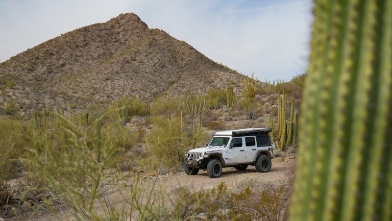
Pozo Nuevo Road is a connector road between El Camino del Diablo and Puerto Blanco Road. This is a good option for either entering or exiting Organ Pipe Cactus National Monument on dirt as opposed to the highway. Any stock AWD or 4WD vehicle will have no issues, but a 2WD vehicle might struggle with the patches of sand that exist along this track. There is no camping along this road as you are in OPCNM. Due to the proximity to the border of Mexico, it's not uncommon to see Border Patrol.
Updated: 04/08/2025
Red Hill Wash Road
Katherine, Arizona
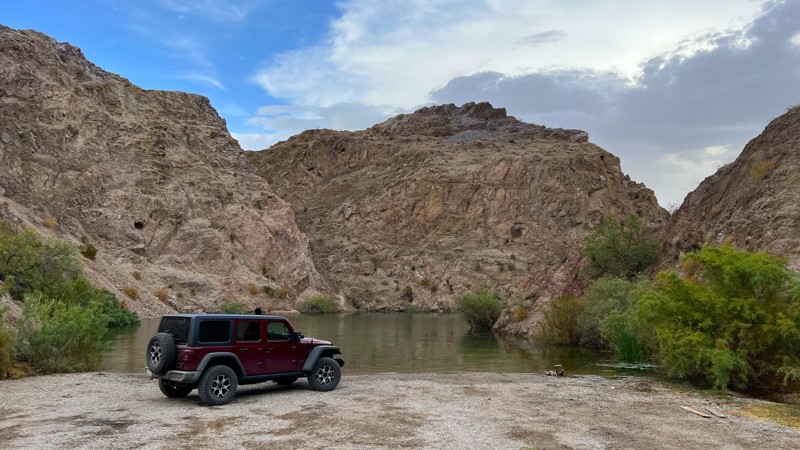
This short trail from Stonehouse Road ends at a secluded cove at Lake Mohave. The trail passes through an easy sandy wash with a camp spot at the top of the hill. This nice cove would provide a great swimming area or an easy place to launch a kayak. There are several blind corners on this trail so use caution with oncoming traffic.
Updated: 06/05/2022
Beaver Dam Wash
Beaver Dam, Arizona
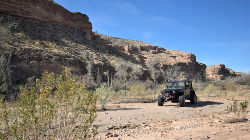
Beaver Dam Wash can be used to access exceptional campsites and some of the area's best trails. This easy to access route travels through a very wide sandy wash while eventually traveling below some towering and scenic cliffs. The trail is often used to access the Three Corners Monument where the Nevada, Arizona and Utah state lines meet far out in the desert. Along this route, the trail cuts multiple paths across the wash leading to a couple of nice primitive campsites with easy access to Interstate 15. Be sure to keep an eye out for the many species of predator birds that can often be seen combing the desert for prey.
Updated: 10/15/2024
FDR 1822
Tortilla Flat, Arizona
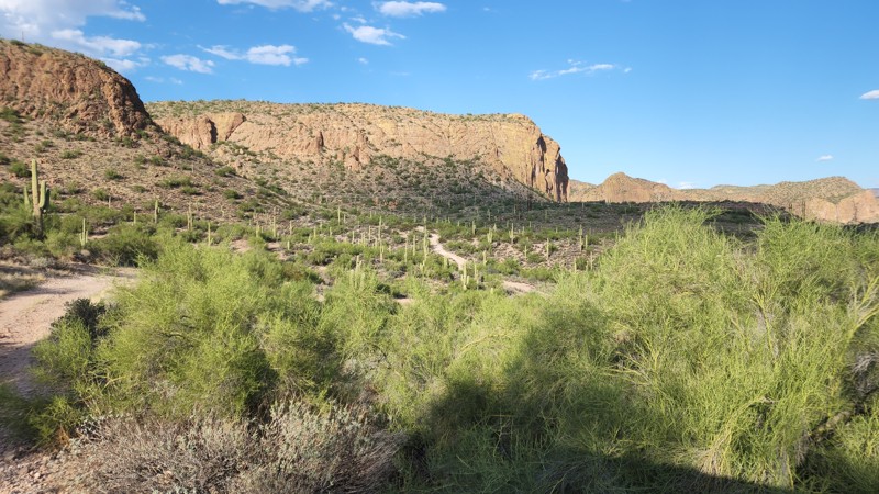
1822 leads to an overlook at the top of the hill where the power lines come up from Mormon Flat Dam. 1822A and the short spur just north of it have amazing little campsites overlooking Canyon Lake, but there are none on this trail.
1822 has rutted sections and loose rock climbing.
Updated: 07/06/2026
Old Cherry Road
Cherry, Arizona
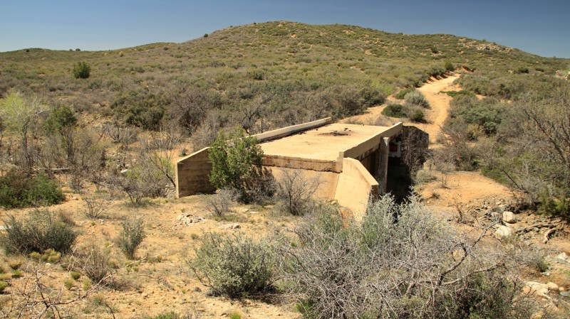
Old Cherry Road once led from Prescott to the town of Cherry situated in the Black Hills Mountains. Newer roads bypassed the old track, but it's still an easy and moderately interesting drive. The highlight is the old bridge to nowhere. Ash Creek, normally not much more than a trickle, flooded and washed away the road on either end of the bridge. The washout was never repaired so you get to ford the creek as you stare at the abandoned bridge. There are only a few campsites along the trail which crosses sections of well-marked private property.
Updated: 03/09/2026
Santa Maria River Road
Apron Crossing, Arizona
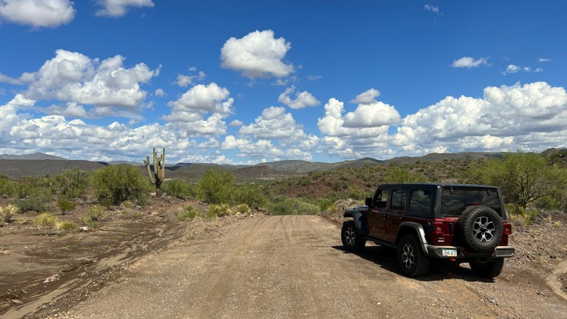
Santa Maria River Road passes primarily through Arizona State Trust Land and occasionally crosses over private ranches and BLM land. The trail is a mix of packed dirt, gravel, and sand. High clearance is needed to get through some of the washes and one small rocky climb on the trail's eastern end. This trail sees significant erosion when it rains. It is not recommended to travel this road when the possibility of flooding exists. Nice views of Thorn Peak, Whitecap Peak, and Crosby Mountain are prevalent throughout the trail run.
One camping area is large enough to accommodate many vehicles. It also had a rock fire ring. The area has nice views of the surrounding mountain ranges.
Updated: 09/10/2023
Fernow and Tram Tanks Trail
Kachina Village, Arizona
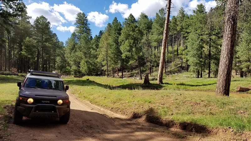
Fernow and Tram Tanks are found along FR 231A on the western side of Coconino National Forest, just north of the Mogollon Rim. This is a nice scenic drive along a very easy dirt trail.
Updated: 08/27/2025
Springer Mountain
Pinetop-Lakeside, Arizona
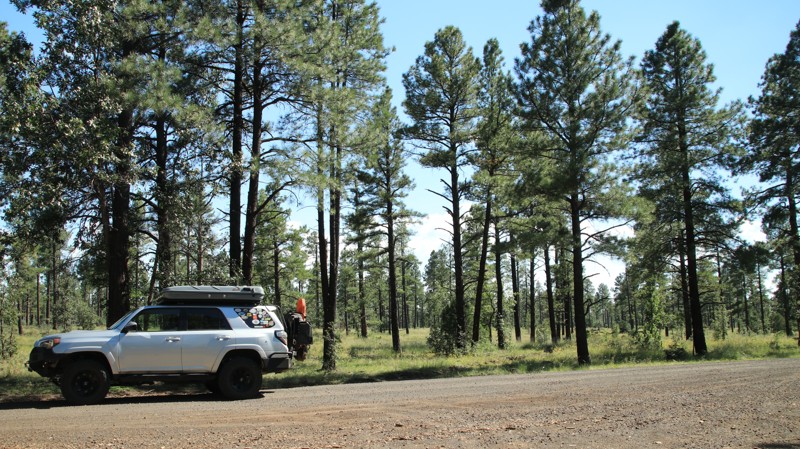
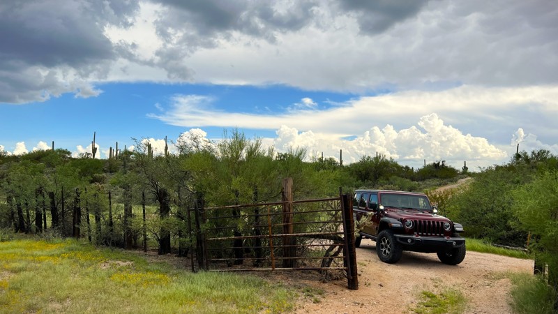
Springer Mountain is an easy gravel road passing through a beautiful pine forest. There is a hiking trailhead and some interpretive signage along the way. No camping.
Updated: 10/15/2024
Coyote Tank Trail
Cactus Forest, Arizona
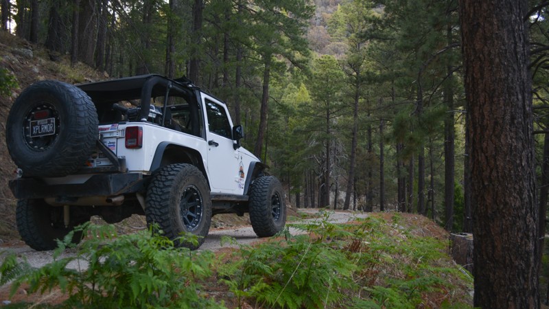
Coyote Tank Trail winds through the north end of the old 96 Ranch. Remnants of cattle water tanks, corrals, and ranching activities abound. You will be taking pictures at every turn. Keep a sharp eye as you may find a crested saguaro cactus. Desert monsoon rains have brought this area alive with grasses, shrubs, and flora. Several campsites along this trail can accommodate multiple vehicles. They also have existing fire rings. Many connecting trails will provide for a full day of exploring. This trail runs through Arizona State Trust Land, so a permit is required.
Updated: 10/15/2024
Pinal Mountain
El Capitan, Arizona
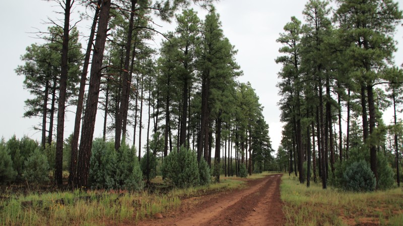
Pinal Mountain is a scenic drive into the pines and a beautiful escape from the desert heat. This is the easiest and quickest way up to the pines above Globe, Arizona. The trail is a semi-maintained gravel ledge road leading up to picnic and camping areas. There can be deep washboards and potholes. During winter months, there can be snow at higher elevations. The trail becomes more narrow, with some sections too narrow for two vehicles to pass. Use caution and slow down around blind corners. Sulphide Del Rey, now a campground, was once a site of an old mining company. Miners lived here to escape the heat of the desert where they worked during the day. This site offers a peaceful place to camp with the family within the ponderosa pines. There are a couple of connecting trails at the top of the mountain to explore. There is a small day-use fee at the campground. Limitations include a stay limit of 14 days, trailers under 20 feet, and fire in designated areas only. There is no trash service, Pack It In, Pack It Out. Dispose of waste properly, and leave what you find.
Updated: 10/15/2024
Joe Tank
Linden, Arizona
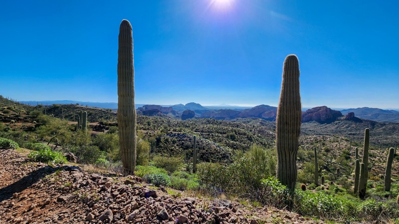
Joe Tank runs southwesterly from Highway 260 to East Rim Road. This connector has little scenic value. There are a few marginal dispersed campsites along the trail. The rutted southern end can get very slick when wet.
Updated: 10/15/2024
High Country
Reymert, Arizona
Connecting Orville's Loop to East Martinez Canyon, High Country is a straight-through trail that is easily one of the most scenic routes in the Florence OHV area. The trail traverses a high ridgeline for 1.5 miles providing unobstructed Sonoran Desert views for hundreds of miles. Picacho Peak, along I-10, is easily seen to the southwest on a clear day.
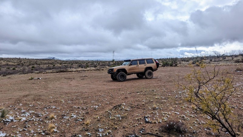
Most of this road is rough and rugged trekking along hard-packed dirt with softball-sized rocks. The trail gets its difficult rating from one spot on the southern end, where a severe washout on the edge of the road constricts vehicles to a 28-degree off-camber bypass around the washout. This trail is best suited for slightly modified vehicles and experienced drivers comfortable with extreme vehicle leans. There are several areas along the trail where the tight brush will likely scratch your paint. Full-width trucks are not recommended for this trail.
It is worth noting that although this is a BLM road, it travels almost entirely through private property. Please respect the private land and pass through with care and consideration. As history has shown us from other trails in this area, landowners are not afraid to close off access if users cannot be respectful.
There is no camping along this trail.
Updated: 10/01/2025
Powerline Road
Vail, Arizona
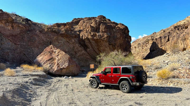
Rugged Power Line Road begins at Highway 83 and runs eastward parallel to I-10 towards the Whetstone Mountains. Popular with ATVs, dirt bikes, side-by-sides, and other off-road vehicles, the trail features several wash crossings that may have water after any recent rainfall. The trail also has several steep and rocky hill climbs, where having at least a rear locker is beneficial. Large to medium ruts are common on the trail.
This trail is a great starting point for exploring the area, using other trails that branch off. While there are no obvious camp spots on the trail, State Trust Permits are required to camp in this area.
Updated: 10/15/2024
Old Ranger Station Trail
Willow Beach, Arizona
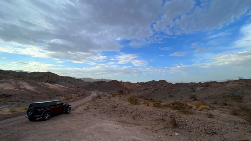
The Old Ranger Station Trail runs south of US 93. It falls within the Lake Mead National Recreation Area. There is no fee or permit needed to run this trail. The trail's end will get you within 0.8 miles of the Colorado River. The final section can be hiked to the remnants of the old ranger station on the bank of the river.
This trail is generally rock and gravel until you get to the wash, where the remaining section is deep sand. 4WD is needed to navigate this area. Camping is available at the end of the trail, with room for multiple vehicles to park easily.
Updated: 04/08/2025
Stonehouse Road
Davis Dam, Arizona
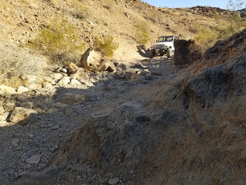
Stonehouse Road is a short easy trail primarily made of hard-packed dirt with some gravel. It does have many blind curves. Be cautious of oncoming traffic. It will wind you through some washes and over the low ridgelines where you can glimpse Lake Mohave. This trail is located within the Lake Mead National Recreation Area and connects with several others to get you closer to the lake. There were no predefined camp spots along this trail. Don't miss the stop at the remnants of the old stone house. It is right off the trail and a neat spot to stop and explore.
Updated: 08/02/2022
Top of The Duke and Duchess - Parker
Parker, Arizona
The Top Of The Duke And Duchess is a connector route in the Parker Arizona area that is the exit for The Duke and Duchess. The trail itself doesn't have many unique features to it but does have a medium size open area that could be good for dispersed camping about 0.2 miles in. Since The Duke and Duchess are harder trails, the traffic on them is rather light making this area a good place to get a way from the crowds of the nearby Cienega Springs Road which people are using to head to The Desert Bar. The next time you are in the area, check out this trail and see if this could be a good place for you to take a breather from it all.
Updated: 06/23/2025
Twister
Kingman, Arizona
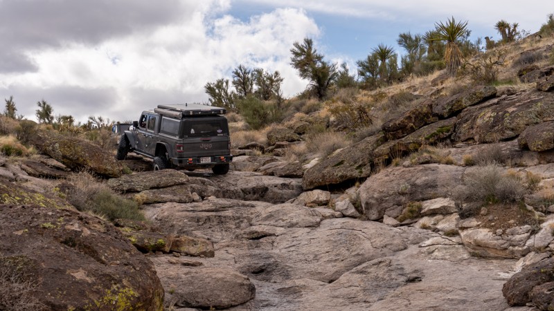
Twister is a 1-mile long, straight-through rock-crawling trail located only minutes from Kingman, Arizona. The trail is entirely on State Trust Land, so you must acquire a recreational permit. The trail snakes its way through a rocky wash with several optional obstacles made up of car-sized boulders. Moderate off-camber situations easily lead to body damage along this trail. Most of the early obstacles offer an easier bypass, but obstacles later in the trail present consistent beachball-sized and larger rocks that must be traversed no matter which lines you take. These rocks can often move with each passing vehicle and have no hesitation in reaching out to grab low-hanging undercarriage parts. The terrain has several short stretches of smooth rock faces with left and right alternating deep ruts, flexing or twisting your suspension. Hence the trail name.
This trail is best suited for modified vehicles with larger tires, traction aid devices, and skid plates.
Updated: 07/08/2026
Johnson Wash
Flower Pot, Arizona
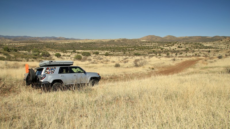
Running along the southern edge of the Black Hills Moutain Range, Johnson Wash is part of the Great Western Trail. The trail is easy with a few normally dry wash crossings. The track passes through the rolling grasslands of central Arizona. There are campsites near the eastern and western ends of the trail.
Updated: 06/05/2022
FR 144
Payson, Arizona
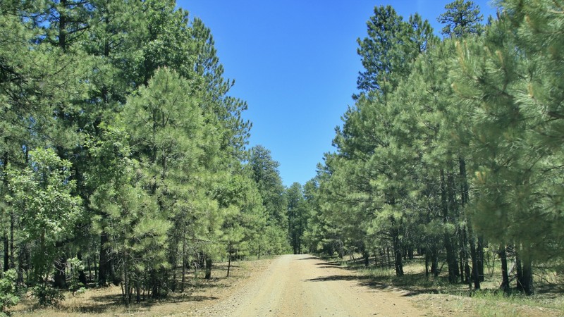
The wind singing through the tops of tall pines is one of the most relaxing sounds known to mankind. FR 144 serves as a gateway to some of the plentiful camping and offroading opportunities found among the tall Ponderosa pines of the Coconino National Forest. The higher elevation and cooler temperatures make the area a popular summer getaway. Campsites along FR 144 vary from spacious open sites suitable for larger rigs and trailers to cozy, secluded sites along the various spur trails. Pushing beyond the gateway of FR 144 leads deeper and deeper into the vast Arizona high country where remote campsites and even more adventure can be found. Go listen to that relaxing wind in the tall treetops. The experience does a body good.
Updated: 10/15/2024
BLM 1026
Jacob Lake, Arizona
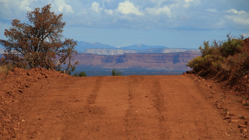
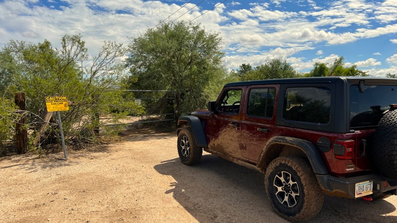
BLM 1026 runs across an open plain with patches of pinion and juniper. The trail connects Highway 89A and Winter Road, BLM 1025. The red steps of the Grand Staircase Escalante dominate the northern skyline. To the south rises the Kaibab Plateau. There are campsites near the southwestern end of the trail. A very muddy deep wash near the northeastern end of the trail requires 4WD if there has been any precipitation at all. When totally dry, 2WD might be possible.
Updated: 10/15/2024
Picacho Pipe Trail
Red Rock, Arizona
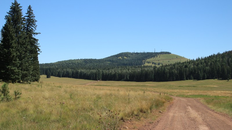
Picacho Pipe Trail begins as a turn-off from East Park Link Drive. The trail follows the El Paso Gas Company gas line across Arizona State Trust Land. The terrain is flat and primarily a sandy/dirt mix. There is an occasional wash crossing that would require higher clearance. There are also several washed-out areas to navigate as you progress. This area is prone to flooding during storms, so use caution. On a map, it appears you can take this trail all the way to State Route 79. While the trail does continue that entire length, once you hit the border onto BLM land, there is a gate and a no-trespassing sign.
There were several established camp spots along this trail with multiple flat, open areas that can accommodate several vehicles. This runs through Arizona State Trust Land and requires a permit.
You may encounter cattle in this area as it is leased grazing land.
Updated: 10/05/2025
Udall Draw
Vernon, Arizona
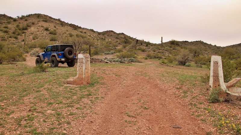
Udall Draw begins in private property on the north, passing through pasture land dotted with junipers. Once in the Apache - Sitgreaves National Forest, the trail moves into a mixed conifer forest dotted with aspens. The forests are broken with vast open meadows like Gillespie Flat, CC Flat, and Udall Park. Numerous dispersed campsites surround the meadows. The southern section is dotted by cinder cone hills, the last one with the towers named Green's Peak.
Updated: 10/15/2024
Black Pearl
Tonopah, Arizona
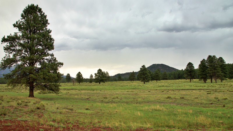
The Black Pearl was a group of prospects and adits worked in the mid-1900s producing manganese. Today little remains but the foundation and ruins of a small cabin guarded by two concrete gateposts.
The trail to the Black Pearl is relatively easy, crossing Coyote Wash and several more minor drainages. A cattle corral and windmill sit at Tiger Well. The trail can be run as a lollipop. The southern leg of the lollipop is seldom used, rougher than the rest of the trail, but scenic.
A few small campsites are scattered along the trail. Excellent campsites for any size group are scattered along the northern portion of Vulture Mine Road near the trailhead for Black Pearl.
Updated: 10/15/2024
Spring Valley
Red Lake, Arizona
When Arizona Highways magazine designates a road as a scenic drive, there might be something worth seeing. Spring Valley Loop provides a basket full of worth. The road begins in the west off Highway 64, which eventually ends at the Grand Canyon. You might have heard of it. On the east end of Spring Valley Loop lies Parks, a stop on Old Highway 66. You might have heard of it. Between lies a vast pine forest, meadows, cute ranchettes, junk yards, open meadows, one campsite, and views of Hardy Hill and Sitgreaves Mountain. Sadly there's pavement on both ends. Perfection is unattainable, even by the beloved Arizona Highways magazine.

Upgrade your Membership
Unlock all of the details on every Trail Guide and Scout Route.
Start a 7-day Free TrialCommunity
Partners

