






By clicking "ACCEPT", you agree to be the terms and conditions of each policy linked to above. You also agree to the storing of cookies on your device to facilitate the operation and functionality of our site, enhance and customize your user experience, and to analyze how our site is used.
Arizona Off-Road Trails
373
Total Trail Guides 359

4679
Detailed Waypoints 676
Try a Free 7-Day Trial and unlock it all
Start a Free Trial Most Recent Trail Reviews
Rated 4/5
Open
Visited: 09/22/2026
Hard pack, easy forest service road that is a great back way to the North Rim of the Grand Canyon.


Tyler D’Hulst
Rated 4/5
Open
Visited: 09/22/2026
Spring Canyon is a beautiful drive. We didn’t go out to the cabin but used this western section of road coming back from Crazy Jug

Tyler D’Hulst
Rated 4/5
Open
Visited: 09/22/2026
We took this out to Crazy Jug. The northern section is hard packed forest service road. Not difficult. Very scenic drive through the ponderosas.

Tyler D’Hulst
Rated 5/5
Open
Visited: 09/22/2026
View point is spectacular! Trail was easy going out, no obstacles at all. Saw a Toyota Camery at the viewpoint.


Tyler D’Hulst
Rated 3/5
Open
Visited: 09/22/2026
An alternative route out to Crazy Jug Point. It’s easy and can be scenic in areas. I’d recommend West Ryan out to Crazy Jug though.
Tyler D’Hulst
Rated 3/5
Open
Visited: 09/22/2026
A quick connector trail through the burn patch.
Tyler D’Hulst
Rated 5/5
Open
Visited: 09/20/2026
Leviathan Mine trail is a full day trip. Though it is only 20 miles in length the travel is slow and rough. Majority of the trail you will be going between 5-10 MPH. Then once at the end it connects w...



Eric Gartin
Official Crew
Rated 4/5
Open
Visited: 09/19/2026
Simple road, well graded today. Many mountain bikers coming down from the West out of Breezy Pines. Not too many people out until approaching Senator Hiway. We went East to West as I think thats a bet...



Jeff Burnett
Rated 3/5
Open
Visited: 09/19/2026
The trail itself is not spectacular, it's pretty flat across the plains. However, driving up to the overlook and seeing a huge gaping hole in the ground is a great juxtaposition to the flat trail. The...
Tyler D’Hulst
Rated 3/5
Open
Visited: 09/19/2026
A nice trail ride from the main road down off the plateau. It's graded forest service road until the switchbacks. The switchbacks themselves are not difficult, road is not graded. This section has bee...
Tyler D’Hulst
Rated 3/5
Open
Visited: 09/18/2026
The end of the trail is not well marked, and can cause confusion. Also, vehicle passes are required for all backcountry routes within the Lake Mead National Recreation Area.
Eric Gartin
Official Crew

Ted Whisler
No Rating
Open
Visited: 09/17/2026
Nice ride west side a little rocky but rating is true to #2


Ted Whisler
Rated 3/5
Open
Visited: 09/15/2026
A nice drop off the plateau heading towards Marble Canyon. Not a difficult road. Road is weathered but not challenging.
Tyler D’Hulst
No Rating
Temporary Closure
Visited: 09/15/2026
Road closed due to multiple washed out wash crossings after the turn off to go up the mountain. "Road Closed" sign put out by BLM on trail.
Tyler D’Hulst
No Rating
Temporary Closure
Visited: 09/15/2026
After the turn off to head up the mountain there are multiple washed out wash crossings. A "Road Closed" sign has been put out by the BLM.
Tyler D’Hulst

Ben Ruddell
Official Crew
Rated 4/5
Open
Visited: 09/14/2026
Bogles Ranch Road is a great Sunday afternoon drive type of dirt road that climbs up in elevation and gives some spectacular views of the surrounding area. The first half passes through State and Priv...


Eric Gartin
Official Crew
Ben Ruddell
Official Crew
Rated 3/5
Open
Visited: 09/14/2026
Antares Road is an excellent way to travel from Route 66 to the eastern portion of the Lake Mead National Recreation Area. This wide county road is well maintained with minor washboarding, most of whi...


Eric Gartin
Official Crew
Rated 3/5
Open
Visited: 09/14/2026
Hackberry road is a wide dirt road with minimal erosion damage and washboarding. There are a couple of larger washes that cross Hackberry road creating wide stretches of loose sand which can cause iss...


Eric Gartin
Official Crew
Rated 3/5
Open
Visited: 09/13/2026
This is a very rough, rocky, & slow going trail. Expect around 4+ hours for the trail & another hour to get the highway. One of those trails I'm happy I did but I wont be back personally. High clearan...

Brandon W
No Rating
Open
Visited: 09/12/2026
I think the rating is spot on. The ruts and washouts at the beginning are not as bad and if you hug the inside of the shelf road they can be avoided. The middle part is same general sandy wash with ov...



Greg Page
Rated 4/5
Open
Visited: 09/11/2026
Ran this trail as part of a larger loop. Trail is in great shape. Easy for standard 4x4 with no lift. Passengers can do it until maybe the very end by the lake where the road gets rocky and washed out...


Jeff Burnett
Rated 5/5
Open
Visited: 09/10/2026
This is one of my favorite scenic trails in the area. The trail is easy to travel, but does have some optional short trails that will test your vehicle. The views from the Grand Wash Cliffs of the Hua...


Eric Gartin
Official Crew
Rated 3/5
Open
Visited: 09/07/2026
This trail by itself is nothing special. It is mostly used as an access road to get to the more technical trail such as Homecourt, Twister, and Waynes World. This is a great trail for the beginner to ...


Eric Gartin
Official Crew
Rated 3/5
Open
Visited: 09/07/2026
This trail is an enjoyable alternate route when traveling on Blake Ranch Road (7163). The trail is easy with only a handful of spots with erosion damage. The few established camping sites appear to n...


Eric Gartin
Official Crew
Rated 5/5
Open
Visited: 09/07/2026
Ran this trail from Boynton Pass Road to Loy Butte Road (opposite direction from what is listed). Ran into a few rental ATVs and a couple of Jeeps heading the opposite way. This was a fun trail wit...



Daniel Macioce
Rated 5/5
Open
Visited: 09/07/2026
This trail was a lot of fun, plus the views were amazing. I ran the trail in the order posted, starting at the south trailhead and finishing at the heritage site. Past a motorcycle, a few jeeps and a...


Daniel Macioce
Rated 4/5
Open
Visited: 09/07/2026
Nice trail, ran West to East. For some reason the map shows this a a one-way trial, East to West. That is not the case, it is a two way trail. Was pretty washed out starting around mile 12. Plenty roc...


Jeff Burnett
No Rating
Open
Visited: 09/06/2026
New trail for me. You didn’t know what it would throw at you around every corner which is why you try to find new trails or old forgotten ones
KB
Kory Burden
Rated 5/5
Open
Visited: 09/06/2026
The trail is no joke—steep, narrow, and technical enough that you’ll want to be comfortable with off-camber shelf roads, rocky terrain, and washouts that will test your vehicles articulation. The rew...



Bobby Rumbaugh
Official Crew
Rated 5/5
Open
Visited: 09/06/2026
Fun trail if you don't want to do pyeatt draw itself. Ran this trail 3yrs ago and definitely a little more erosion but, still any truck or suv with good factory ground clearance can do it. From previo...
JM
James m
Rated 4/5
Open
Visited: 09/06/2026
Ran this trail from I-17 to Sedona. Extraordinary views descending into Sedona. As others have noted, there are lots of rock on the trail, making it slow going. Passed a large number of Pink Jeeps ...


Daniel Macioce
Rated 4/5
Open
Visited: 09/05/2026
This one definitely changed over the last few years. The southern section has some legit, steep, off-camber sections. YOU NEED experience, backup, and a capable vehicle on this one now. It's not supe...


.jpg)
Bobby Nelson
Official Crew
Rated 4/5
Open
Visited: 09/05/2026
Another amazing time on this scenic crossover. We came in from Walnut Canyon and finished out on Price Road after about 6 hours. A challenging and hot day for the old TJ. Rincon Road has evolved into ...


Bobby Nelson
Official Crew
Rated 4/5
Open
Visited: 09/05/2026
We started exactly at sunrise to try and beat the heat. We planned to crossover to Box Canyon and out on Price Road. It ended up taking us 6 hours, even with all the photos and filming we did. A chall...


Bobby Nelson
Official Crew
Rated 5/5
Open
Visited: 09/04/2026
We recently ran Four Peaks after the monsoon rains. Here’s what we found and what to expect if you’re planning to run it. Have a GR8 day!

Jeep 4 Dirt
Rated 5/5
Open
Visited: 09/04/2026
Breathtaking views. Definitely don't rush through the trail. Devil's staircase was a bit slippery but awesome. A few tight stops here and there, but a trail that's a must on anyone's to do list.



Christopher Bradley
Rated 4/5
Open
Visited: 08/30/2026
Id say this is a 3.5 to 4 trail. There are some obstacles, but nothing you really need to think hard about how to approach. If you send your vehicle at it in 4 low you'll get through everything.



Justin Holsinger
Rated 4/5
Open
Visited: 08/28/2026
Rim Road (FS300) West to East. Very well groomed gravel forest road. Accessible by just about any vehicle thats not been lowered. Who does that anyway? Scenic views the whole route. Hard to believe on...


Jeff Burnett
Rated 4/5
Open
Visited: 08/28/2026
Not a bad road but it was crowded with sxs and vehicles towing campers. Hard to rate 5 stars for a busy road. Super easy any vehicle can do this. Part is paved near the freeway but the rest is gravel.

Tony Rockwell
Rated 4/5
Open
Visited: 08/28/2026
I rated 4 stars just due to the volume of sxs & camper trailers on the road.
Easy drive, any car can do this.
Ran from sheep springs to munds park, see other reviews for full route.

Tony Rockwell
Rated 4/5
Open
Visited: 08/28/2026
I ran Bar M in reverse to get to this trail. Then headed toward Casner Park Road. (See reviews I did on each of those)
Nice easy trail that is less rough than Bar M.
Nice drive through trees.


Tony Rockwell
Rated 5/5
Open
Visited: 08/28/2026
Very bumpy due to rock infused trail. A few larger rocks, 8-12” tall in places but most stock 4x4’s should be able to navigate around or over them. I would say any 4x4 with all terrain tires could nav...


Tony Rockwell
Rated 3/5
Open
Visited: 08/27/2026
Overall decent little trail; camped out near Committee Tank (not suitable for tent camping - too rocky). Nothing too technical but enough to keep things interesting. High clearance and good line choi...


Bill Ferguson
Rated 3/5
Open
Visited: 08/27/2026
Connector from FS801 (Rock Garden Loop) to FS09494F (Committee Tank Trail); yeah, it lives up to its namesake. Very rocky. High clearance and picking good lines are an absolute must. Car camped at...

Bill Ferguson
Rated 5/5
Open
Visited: 08/27/2026
Nice trail saw some deer it’s a little rough but overall was easy


M
Maddox
Rated 5/5
Open
Visited: 08/23/2026
Great little adventure for the day. Dirt road is pretty rutted up due to monsoons, but easily drivable. Lake itself is extremely low.
LL
Larry Lapp
Rated 4/5
Open
Visited: 08/22/2026
A fun side trip that has a steep hill climb. Due to recent rains, the wildflowers were blooming.


Bobby Rumbaugh
Official Crew
Most Popular
Updated: 01/07/2024
Harquahala Hyder
Buckeye, Arizona
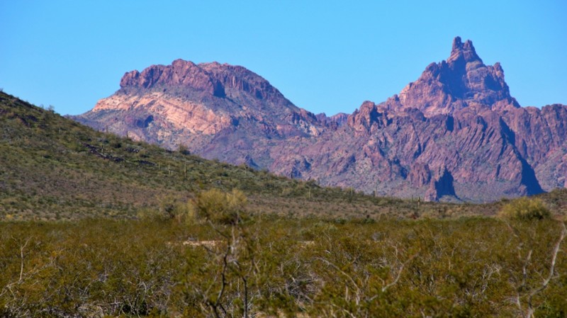
"So what's the story of this trail?" he asked. "Seems like it is just a powerline and pipeline road to me." "This trail moves things. It has always moved things. It moves gas and electricity now. And us. But back in the day, it connected the fertile ranching and farming area in the Harquahala Plain to the rail station in Hyder." The answer seemed to partially satisfy his curiosity. I looked northwest to the silhouette of the jagged and multi-hued Eagletail Mountains, now tucked into their own wilderness area. Southeast lay the low, grumbling Gila Bend Mountains, sparse and dry. Around us was a sandy flat desert with a lot of green. Saguaros stood proud in abundance. Ocotillo sent spindly arms skyward, some tipped with their bright crimson flowers. Creosote bushes and brittle brush found purchase in the sandy desert. Small purple wildflowers added a touch of color. Broad washes cut the desert, white ribbons with lush green borders. We'd run other trails to the northeast earlier in the day. Now we were heading south and west to seek out other trails in the lower Sonoran Desert. The Harquahala Hyder was doing what it had always done, humbly and reliably moving us, and anyone else or anything else, to where we needed to be.

Updated: 10/15/2024
Knoll Lake
La Cienega, Arizona
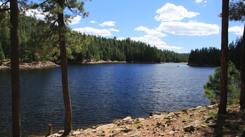
When imagining Arizona, no one thinks of sparkling clear mountain lakes. Above the massive Mogollon Rim escarpment, Arizona's high country is dotted with alpine lakes. Knoll Lake, set in a vast Ponderosa pine forest, is one of the less visited. Formed by damming East Leonard Canyon, Knoll Lake is a haven for fishermen, kayakers, and campers.
The road into the lake is well maintained but accessible only via Rim Road. Dispersed camping is more than abundant, with sites of all sizes clustered primarily in the second and third miles of the trail. Everything from tents to camping trailers can find a home along the trail. Dispersed camping is not allowed after the 90-degree turn eastward towards the lake. Knoll Lake Campground is located after the east turn and near the lake. The campground has over 30 sites, water, picnic tables, fire pits, vault toilets, and grills.
Knoll Lake has a boat ramp, parking, and a vault toilet. Summer weekends are busy.
Updated: 03/24/2025
Copper Road
Mayer, Arizona
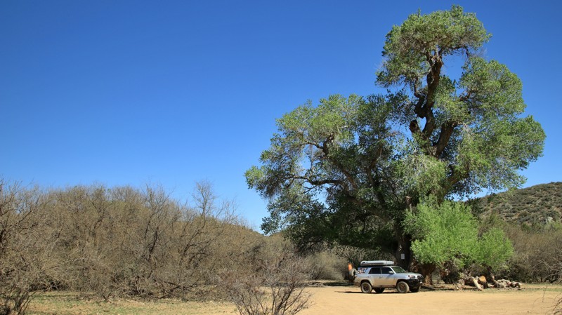
Copper Road begins in Mayer, Arizona. Driving towards Mayer, you will likely notice the 129.5-foot brick smokestack. The tower is 400 feet east of the turn onto Copper Road. The tower and Copper Road are linked in history. The tower was part of a planned smelter for copper mines in the local area. The well-maintained Copper Road goes north out of Mayer towards several old copper mines. The mines' production was rather sparse, and thus the smelter was abandoned before it was completed. Today's true riches at the end of Copper Road is water, not copper. The road ends shortly after crossing the Agua Fria River. Reliable water in Arizona is rare and riparian areas are treasured. You can camp, splash, and picnic along the Agua Fria. But you will need to fork over some copper, silver, or gold before doing so. The State of Arizona requires cash for a permit to enjoy the area.
Updated: 07/06/2026
Rolls 1804
Fort McDowell, Arizona
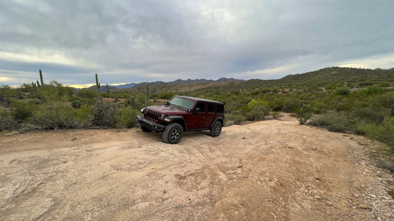
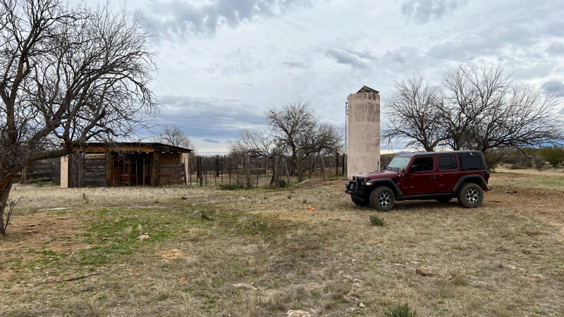
Many people who once used the Butcher Jones entrance to the Rolls OHV are now using the Pobrecito staging since area since the Butcher Jones gate has been permanently closed. Trail 1804 is one of two trails leading out of Pobrecito. The trail initially runs through a sandy wash, and 4WD is recommended. Be cautious on the blind and high-banked corners since many types of off-road vehicles use this trail. The last section of this short trail leads out of the wash and up a steep rocky hill. This is the most difficult section of the trail. At the top of the hill, trail 1804 ends, and trail 1805 begins. A few areas between the staging area and the top of the hill could be used for camping. The campsite with the best view would be at the top of the hill at the end of the trail, where several vehicles could park with plenty of room.
Please note that an OHV permit is now required on this trail.
Updated: 10/15/2024
Chief Butte Road
Saddlebrooke, Arizona
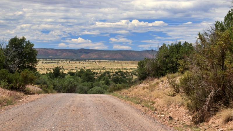
Chief Butte Road is a hard-packed dirt trail that is accessible from AZ State Route 79. On a map, it appears the trail continues to Park Link Drive on the north end. However, the trail stops short due to posted private property making this an out-and-back. There is the option of connecting to Park Link Camping Row, which takes you further west.
There are a few secluded camping spots on this trail with a nice area for a campfire. The area in the camping photo can accommodate multiple vehicles and has soft level ground perfect for tent camping.
This trail is on Arizona State Trust Land and requires a permit. There's a good chance of seeing cattle along this run since it is an active ranch.
Updated: 11/07/2025
Drake Road
Perkinsville, Arizona
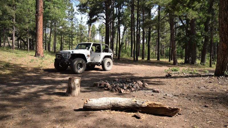
County Road 71 in the Prescott National Forest is an easy dirt road connecting Highway 89 in the west to County Road 73 and Perkinsville Old 354 Road in the east. The road is called Drake Road for the large cement plant on its western end. For offroaders, the trail's primary purpose is accessing the southern end of the Kaibab National Forest and its wealth of camping and wheeling opportunities. The trail crosses open prairies before climbing into a pinion and juniper forest. Two small campsites are on opposite sides of a seasonal wash about midway through the trail. While easy in dry conditions, this trail could quickly become impassable with flooded washes and slick roadbeds after heavy rain.
Updated: 11/27/2023
FR 487
Heber, Arizona
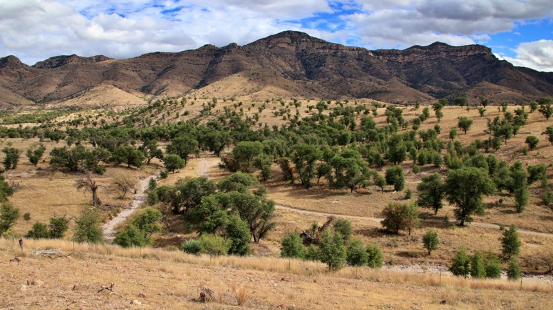
The Mogollon Rim Country of central Arizona is a welcome reprieve from the high temperatures of the desert that surrounds it. The region is rich in ancient Native American history and loaded with a lifetime of trails to explore. This particular trail allows users access to beautiful high country camping and connections to other popular trails in the area. The trails main draw is the really nice campsites that are relatively close to a highway but far enough away to not hear it. You're also away from all the large RV camping areas along 300 Road.
Updated: 03/01/2026
Ruby Road
Rio Rico, Arizona
Ruby Road runs through the Coronado National Forest from the Pena Blanca Lake Recreation Area to near the tiny hamlet of Arivaca. The wide, well-maintained road winds through the Atascosa Mountain Range and its foothills. The hilly landscape on the eastern slopes is dominated by grasslands dotted with oak trees. The western slopes are forested with mesquite trees and cacti. The Ruby ghost town sits midway along the route.
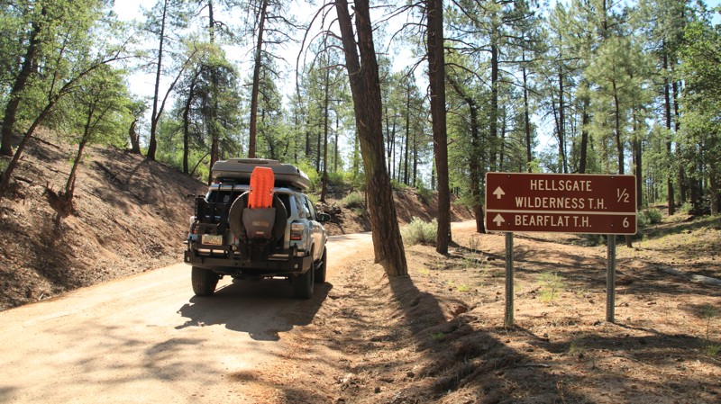
There are several campsites along the trail. The best is at Bear Valley, just east of the one-lane bridge that crosses Arroyo Los Alisos. The shaded site has a fire ring and enough level ground for four to five vehicles. It is suitable for tent camping along the way. Other campsites sit along the many spurs off the trail.
Updated: 10/15/2024
Green Valley
Tonto Village, Arizona
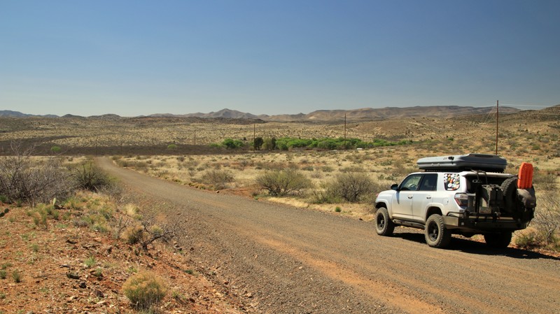
Set in the Tonto National Forest, Green Valley is a short connector trail with a whole lot of camping. This area is very popular in the summer when the desert below gets really hot. Campgrounds fill up quickly. This short trail has numerous dispersed campsites that will support between one and three rigs and tent and hammock camping. There's lots of shade courtesy of the surrounding pine forest.
Updated: 07/06/2026
Old Sycamore Road
Arcosanti, Arizona
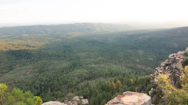
Old Sycamore Runs through central Arizona's grasslands parallel to its replacement, Highway 169. This area is known for cattle ranches, and several are visible from the road along the banks of the cottonwood-lined Agua Fria River. The route crosses the Agua Fria, which is often dry. Arizona takes great liberties with what it calls a river. However, the Agua Fria can flood after heavy summer monsoon rains and should not be crossed. There are a few campsites scattered along the easter end of the road.
Updated: 05/14/2024
Rim Wood Road
Payson, Arizona
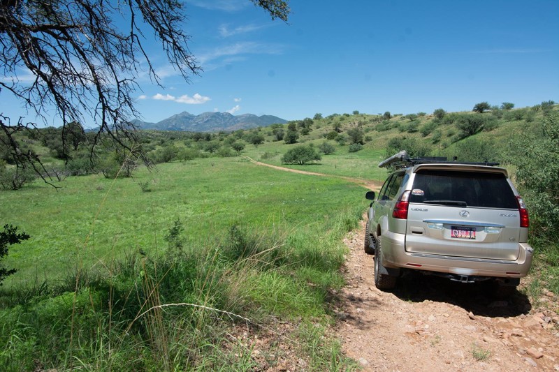
Are you looking for what has to be the best 'free' camping along the Mogollon Rim? This is your spot. The 2.2-mile long Rim Wood Road has 42 designated camping spots nestled in the pines. At the whopping price of $0 and if you get there early enough, you might even find a campsite right on the Rim's edge.
The views are astounding, the drive easy and the area is a welcome retreat from the valley heat in Phoenix. It's almost hard to believe that you are still in Arizona while listening to the breeze whispering through the tall Spruce and Douglas Fir trees.
Updated: 10/15/2024
Little Fish Canyon
Greaterville, Arizona
This is a wonderful journey down into the Little Fish Canyon from the Kentucky Gulch, FR163 ending up at theFish Canyon, Waypoint 12 (FR4085). Little Fish Canyon road climbs, traverses, and descends through a series of ridges in the foothills of the Santa Rita Mountains. Mount Wrightson will be your constant companion as a scenic gem as you head west along the trail. There are numerous washouts and a few off-camber obstacles.
There are a few spots to camp along the trail with no shade. Better to camp in Gardner Canyon, just south of this trail.
Updated: 10/15/2024
Ehrenberg Cibola Road
Ehrenberg, Arizona
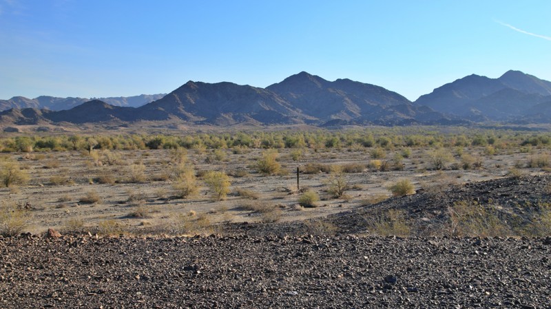
The Ehrenberg Cibola Road runs between Interstate 10 and the tiny hamlet of Cibola. Mostly on BLM land, the trail does dip into the boundaries of the Yuma Proving Grounds twice. Permission is not required to drive through these two areas. However, you must remain on the roadway since the area has not been fully cleared of unexploded ordinance. The affected areas are well-signed.
The trail alternates between smooth graded sections and rock-strewn sandy washes. Due to the deep sand, 4WD is recommended. The rocks are sharp, so good tires are required.
Outside the Proving Ground areas are plenty of large campsites with good views of the Trigo Mountains. The trail's north end has hundreds of campsites with easy access to Interstate 10.
Updated: 06/05/2022
Tom and Cull Wash
Mesquite, Arizona
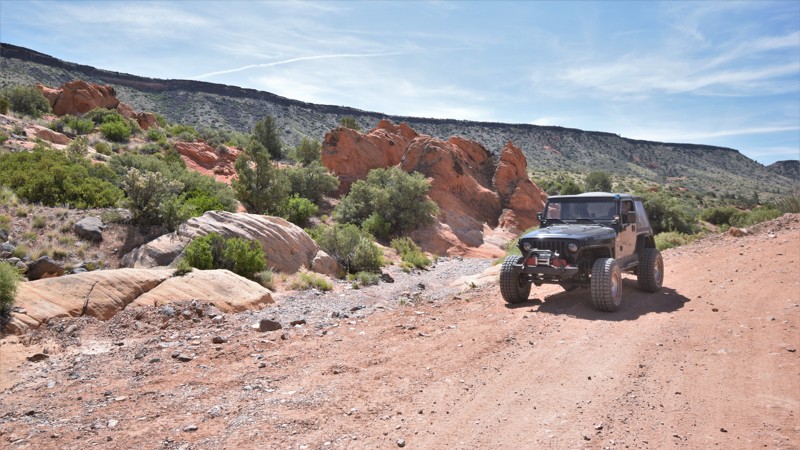
Traveling through the remote and scenic landscape within the Grand Canyon Parashant National Monument, Tom and Cull Wash is used to connect three of the main routes along the western boundary. This high desert trail easily connects CR101 and Lime Kiln Canyon with Black Rock Mountain. When you're traveling across the region, the route can save some time to access Mesquite, Nevada. The trail travels between two ridgelines crossing wide open plains and numerous dry creek beds. Numerous contrasting bright red sandstone rock formations line the scenic route.
Updated: 10/15/2024
Granada Wash
Camp Verde, Arizona
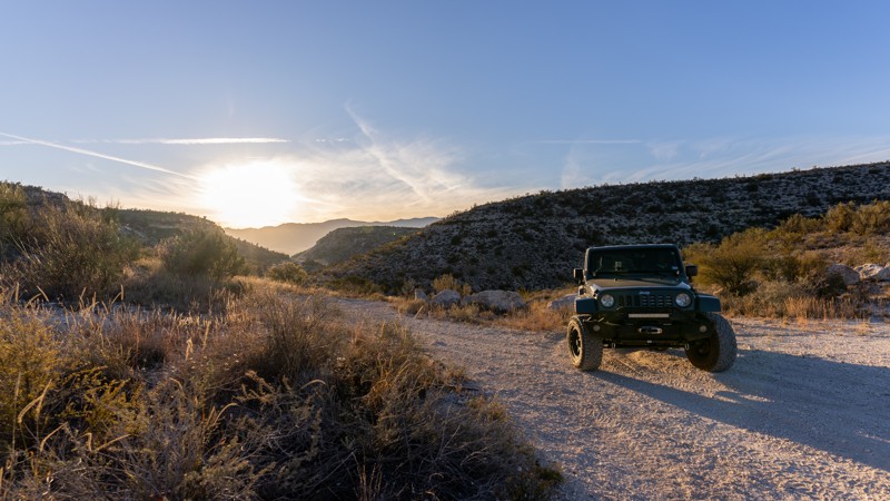
This 5.5-mile trail near Camp Verde runs through the White Hills area and is a gateway to multiple high-clearance off-road, single-track, and hiking trails. The southern end rides on a narrow shelf road along deep washes and valleys. There are several wash crossings, including the hardest part of the trail, a deep wash with tall ledges on each side. There are numerous camp spots at the north end of the trail.
Updated: 10/15/2024
Anderson Mesa
Winona, Arizona
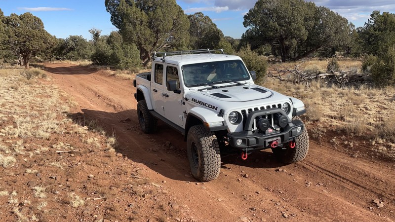
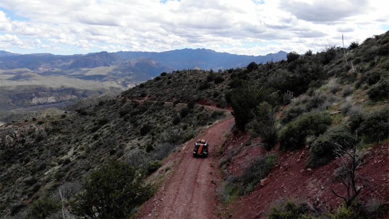
Anderson Mesa, also labeled as Winona Ranch Road along a short section of the northern starting point, is a connector from I-40 in the north to Lake Mary Road in the south, paralleling the South Side of Walnut Canyon trail. There are many side trails featuring nice private overlanding-style boondocking campsites where you will not be bothered by anyone due to the difficulty of access. Some of these sites have San Francisco Peaks views. Do not attempt FR82 in a wide or tall vehicle or without a 4x4 and high clearance. This trail is not suitable for trailers, campers, or passenger sedans.
FR82's northern half is a mostly smooth graded dirt road beginning at the Winona exit from I-40 and proceeding south until it passes through private property. In this middle portion, FR82 effectively disappears from your maps and the trail signage posted by the forest service, and a variety of confusing and outdated FR9XXX and FR128X trails can be found mixed in with FR82. Outdated maps and signage are abundant in the area, due to lack of visitation by Forest Service staff. This scout route connects the northern portion of FR82 with the southern portion of FR82 using several other roads and without violating posted private property. This middle section of the trail is rough dirt with some serious rutting. The southern portion of FR82 is extremely rocky and follows a stream through a canyon with many crossings and portions covered with 9-12" rocks; your passengers will feel the whiplash here unless you go very slow and air down. The last southern mile of the trail near Ashurst Lake Road is graded dirt with several group campsites.
Updated: 06/05/2022
FR 203A
Roosevelt, Arizona
This trail has a little bit of everything! As the trail starts to gain elevation, it traverses across the face of a ridgeline, with steep sides. It enables wonderful views to the east over Cherry Creek, and beyond to the Apache Tribal Lands. The drive up the mountain face is not difficult, but it can raise the hairs on the back of your neck. The sides are steep and impressive, and it is surprising to see this terrain suddenly.
The trail continues up onto the ridgeline and is really fun to drive. This next section is more hard-pack earth (muddy in the rainy season) and open to the sky. It has a bit of an Overlanding feel to it, and it leaves you wanting more. There are several trails that lead off to beautiful scenic views and ancient ruins to satisfy your adventure.
Off in the distance, you can see the Mogillan Rim and you can anticipate what the hiking trails will be at the end of the road. It is beautiful to see. In the last section, the vegetation consists mainly of scrub oak, sagebrush, and yucca. It's a high desert type of landscape. During the spring, the landscape is alive with plant growth, and bees are buzzing everywhere. It's a great time to run the trail!
Updated: 03/11/2025
Kentucky Gulch / FR163
Sonoita, Arizona
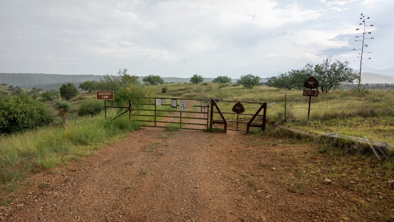
Kentucky Gulch was pretty active around the turn of the century (1900ish). Much of the activity revolved around a hydraulic mining operation in nearby Boston Gulch. Unfortunately, the mine didn't produce the return on investment the claim owners had hoped. Thus their small settlement named Kentucky Camp was abandoned. You can still visit Kentucky Camp, which sits just off the trail. This is a nice gradual climb through rolling hill country, ending at another mine and connecting Trail 165. There are a few shaded campsites along the trail.
Updated: 10/15/2024
Greens Peak
Greer, Arizona
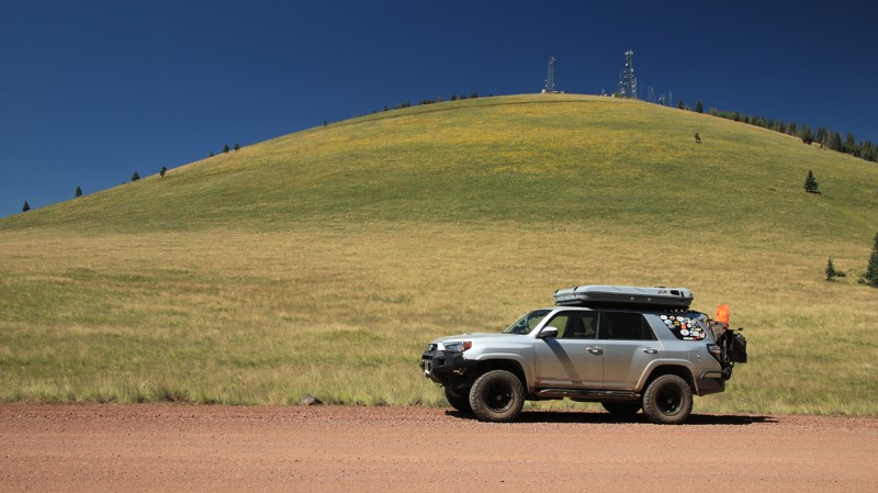
Greens Peak, named for the large cinder cone topped with antennae and towers, passes through vast alpine meadows and mixed conifer forests. The many dispersed campsites seem to be quite popular in Summer and Fall. The drive is scenic, but watch out for cattle since this is open range.
Updated: 10/15/2024
SDNM 8015
Big Horn, Arizona
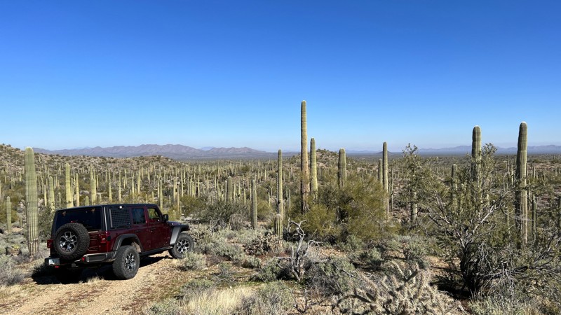
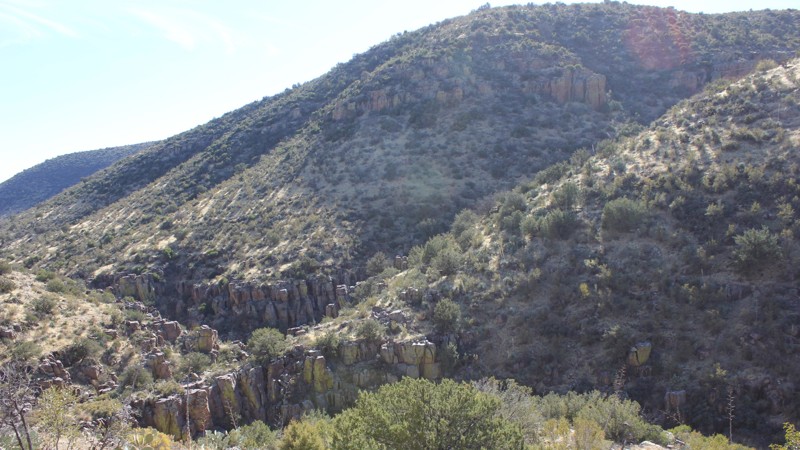
The Sonoran Desert National Monument (SDNM) trail 8015 provides a great escape deep into the Sonoran Desert. You will enjoy a relatively easy ride on gravel for most of the trail. The last half mile is a bit more challenging as you climb the foothills of the Sand Tank Mountains. Once at the trail's end, the view over the vast desert you just crossed is dotted with thousands of Saguaros. There are several camping opportunities along the way, with a large area for multiple vehicles by trail marker 8015C.
Proceeding on SDNM 8015 past the Unit 40A gate requires a Barry M. Goldwater Range permit. Please refer to the permit required link above. The permit is only available online and requires viewing a mandatory safety video. A printed copy of your permit must be carried with you while on this trail past the gate. SDNM 8015 runs through a very remote area of the Sonoran Desert. Please take all necessary precautions.
Updated: 06/05/2022
Trail 38
Roosevelt, Arizona
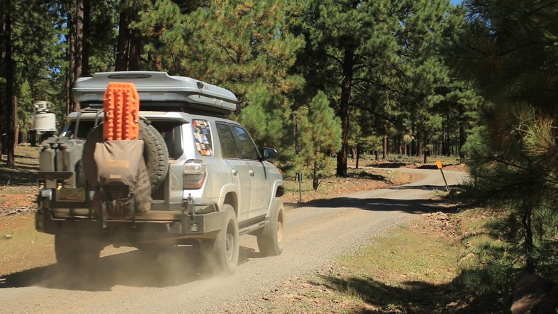
This short trail is full of surprises! It does not look like much at the start with the powerlines overhead, however, it quickly leaves them behind and climbs and opens up into a series of rolling hills and dry prairie. The road passes through several ravines and offers access to a jagged canyon. It looks like the perfect breeding ground for rattlesnakes!
As the trail gains altitude, it becomes narrow and potentially tricky. For some, this may be a white knuckle experience, but it is not too difficult up to this point. Once the trail turns into the valley, it passes through lots of brush and trees that reach out and claim their little bit of paint from your vehicle. This trail brings out the pinstriping!
In addition to narrowing, the trail becomes twisty and sprinkled with rocks and stream beds to cross. The very end is currently too narrow for a full-size vehicle but worth the short walk. The rainy season may reward you with a nicely flowing stream!
Updated: 07/23/2023
FR 222A
Flagstaff, Arizona
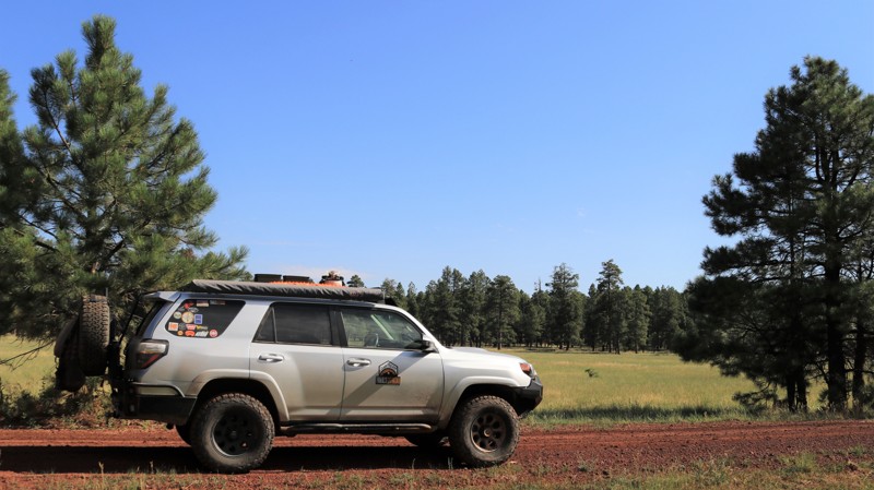
Located in the Coconino National Forest, FR 222A travels through a dense Ponderosa Pine forest, the largest in North America. It also traverses a land formed by ancient volcanos. The ragged gray edges of lava flows can be seen through the thick trees. But it isn't until the forest opens up that you see the myriad of peaks and cinder cones that dominate this unique part of Arizona. Views like this come at a price. Here a small but severe forest fire in 2000 denuded the landscape but opened impressive views. Imagining this as a land of violent volcanic activity is difficult when nestled in a peaceful campsite listening to the soothing wind in the tops of the pines interrupted only by the plaintive bugling of a bull elk. But the last volcanic activity in the area happened a thousand years ago, just a blink of an eye in geologic time. FR222A provides the perfect setting for enjoying peacefulness while pondering the violent past.
Updated: 06/05/2022
Sawmill Springs
Mormon Lake, Arizona
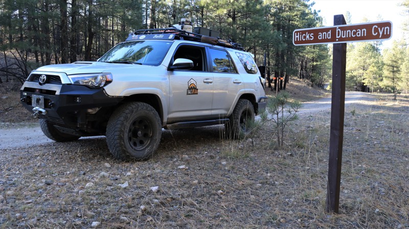
Located in the heart of the vast and beautiful Coconino National Forest, Willow Springs is a great camping destination as well as a fun drive through some amazing countryside. Most of the track is nestled in old-growth Ponderosa pines interspersed with small alpine meadows. The large flat campsites are popular summer getaways. After skirting around the northern base of Cow Hill, the trail breaks out into the juniper-studded grasslands of Anderson Mesa. The trail ends near the shallow grassy Cow Lake. Yes, cows are a theme of this area. This is open range and used for summer grazing by one of Arizona's largest and most historic ranches, the Apache Maid. During the summer, expect to see cattle grazing or lazing in the shade alongside the trail. In early Fall, they will be rounded up and moved to winter pastures at lower elevations. Sawmill Springs intersects with Anderson Mesa South and FR 124H, both interesting trails for those seeking some adventurous wheeling.
Updated: 07/03/2022
Hicks/Duncan
Payson, Arizona
John Hicks and John Duncan were two of the first settlers in what would become the town of Pine in 1879. Hicks and Duncan partnered in a ranching venture. They summered their cattle in the high country above the Mogollon Rim, just as ranchers still do today. The canyon they used for summer grazing became known as the Hicks and Duncan Canyon. FR 149 crosses that canyon today and is locally known as the Hicks/Duncan. Hicks/Duncan is a picturesque trail that cuts through the massive Ponderosa pine timberland that dominates the vast Coconino National Forest. With an average elevation of 7000 feet, the mild summer temperatures make the area a favored getaway for desert dwellers. Camping among the soaring pines with the wind song of the breeze through the upper branches is a wonderfully relaxing experience. Though no formal trail exists, hiking along the broad Hicks and Duncan Canyon is an easy stroll. A hiker is sure to see Abert's squirrels scampering about. With any fortune, elk, deer, black bear, or wild turkey might also be spotted by those with a sharp eye.

Upgrade your Membership
Unlock all of the details on every Trail Guide and Scout Route.
Start a 7-day Free TrialCommunity
Partners

