







By clicking "ACCEPT", you agree to be the terms and conditions of each policy linked to above. You also agree to the storing of cookies on your device to facilitate the operation and functionality of our site, enhance and customize your user experience, and to analyze how our site is used.
Arizona Off-Road Trails
373
Total Trail Guides 359

4679
Detailed Waypoints 676
Try a Free 7-Day Trial and unlock it all
Start a Free Trial Most Recent Trail Reviews
Rated 4/5
Open
Visited: 09/22/2026
Hard pack, easy forest service road that is a great back way to the North Rim of the Grand Canyon.


Tyler D’Hulst
Rated 4/5
Open
Visited: 09/22/2026
Spring Canyon is a beautiful drive. We didn’t go out to the cabin but used this western section of road coming back from Crazy Jug

Tyler D’Hulst
Rated 4/5
Open
Visited: 09/22/2026
We took this out to Crazy Jug. The northern section is hard packed forest service road. Not difficult. Very scenic drive through the ponderosas.

Tyler D’Hulst
Rated 5/5
Open
Visited: 09/22/2026
View point is spectacular! Trail was easy going out, no obstacles at all. Saw a Toyota Camery at the viewpoint.


Tyler D’Hulst
Rated 3/5
Open
Visited: 09/22/2026
An alternative route out to Crazy Jug Point. It’s easy and can be scenic in areas. I’d recommend West Ryan out to Crazy Jug though.
Tyler D’Hulst
Rated 3/5
Open
Visited: 09/22/2026
A quick connector trail through the burn patch.
Tyler D’Hulst
Rated 5/5
Open
Visited: 09/20/2026
Leviathan Mine trail is a full day trip. Though it is only 20 miles in length the travel is slow and rough. Majority of the trail you will be going between 5-10 MPH. Then once at the end it connects w...



Eric Gartin
Official Crew
Rated 4/5
Open
Visited: 09/19/2026
Simple road, well graded today. Many mountain bikers coming down from the West out of Breezy Pines. Not too many people out until approaching Senator Hiway. We went East to West as I think thats a bet...



Jeff Burnett
Rated 3/5
Open
Visited: 09/19/2026
The trail itself is not spectacular, it's pretty flat across the plains. However, driving up to the overlook and seeing a huge gaping hole in the ground is a great juxtaposition to the flat trail. The...
Tyler D’Hulst
Rated 3/5
Open
Visited: 09/19/2026
A nice trail ride from the main road down off the plateau. It's graded forest service road until the switchbacks. The switchbacks themselves are not difficult, road is not graded. This section has bee...
Tyler D’Hulst
Rated 3/5
Open
Visited: 09/18/2026
The end of the trail is not well marked, and can cause confusion. Also, vehicle passes are required for all backcountry routes within the Lake Mead National Recreation Area.
Eric Gartin
Official Crew

Ted Whisler
No Rating
Open
Visited: 09/17/2026
Nice ride west side a little rocky but rating is true to #2


Ted Whisler
Rated 3/5
Open
Visited: 09/15/2026
A nice drop off the plateau heading towards Marble Canyon. Not a difficult road. Road is weathered but not challenging.
Tyler D’Hulst
No Rating
Temporary Closure
Visited: 09/15/2026
Road closed due to multiple washed out wash crossings after the turn off to go up the mountain. "Road Closed" sign put out by BLM on trail.
Tyler D’Hulst
No Rating
Temporary Closure
Visited: 09/15/2026
After the turn off to head up the mountain there are multiple washed out wash crossings. A "Road Closed" sign has been put out by the BLM.
Tyler D’Hulst

Ben Ruddell
Official Crew
Rated 4/5
Open
Visited: 09/14/2026
Bogles Ranch Road is a great Sunday afternoon drive type of dirt road that climbs up in elevation and gives some spectacular views of the surrounding area. The first half passes through State and Priv...


Eric Gartin
Official Crew
Ben Ruddell
Official Crew
Rated 3/5
Open
Visited: 09/14/2026
Antares Road is an excellent way to travel from Route 66 to the eastern portion of the Lake Mead National Recreation Area. This wide county road is well maintained with minor washboarding, most of whi...


Eric Gartin
Official Crew
Rated 3/5
Open
Visited: 09/14/2026
Hackberry road is a wide dirt road with minimal erosion damage and washboarding. There are a couple of larger washes that cross Hackberry road creating wide stretches of loose sand which can cause iss...


Eric Gartin
Official Crew
Rated 3/5
Open
Visited: 09/13/2026
This is a very rough, rocky, & slow going trail. Expect around 4+ hours for the trail & another hour to get the highway. One of those trails I'm happy I did but I wont be back personally. High clearan...

Brandon W
No Rating
Open
Visited: 09/12/2026
I think the rating is spot on. The ruts and washouts at the beginning are not as bad and if you hug the inside of the shelf road they can be avoided. The middle part is same general sandy wash with ov...



Greg Page
Rated 4/5
Open
Visited: 09/11/2026
Ran this trail as part of a larger loop. Trail is in great shape. Easy for standard 4x4 with no lift. Passengers can do it until maybe the very end by the lake where the road gets rocky and washed out...


Jeff Burnett
Rated 5/5
Open
Visited: 09/10/2026
This is one of my favorite scenic trails in the area. The trail is easy to travel, but does have some optional short trails that will test your vehicle. The views from the Grand Wash Cliffs of the Hua...


Eric Gartin
Official Crew
Rated 3/5
Open
Visited: 09/07/2026
This trail by itself is nothing special. It is mostly used as an access road to get to the more technical trail such as Homecourt, Twister, and Waynes World. This is a great trail for the beginner to ...


Eric Gartin
Official Crew
Rated 3/5
Open
Visited: 09/07/2026
This trail is an enjoyable alternate route when traveling on Blake Ranch Road (7163). The trail is easy with only a handful of spots with erosion damage. The few established camping sites appear to n...


Eric Gartin
Official Crew
Rated 5/5
Open
Visited: 09/07/2026
Ran this trail from Boynton Pass Road to Loy Butte Road (opposite direction from what is listed). Ran into a few rental ATVs and a couple of Jeeps heading the opposite way. This was a fun trail wit...



Daniel Macioce
Rated 5/5
Open
Visited: 09/07/2026
This trail was a lot of fun, plus the views were amazing. I ran the trail in the order posted, starting at the south trailhead and finishing at the heritage site. Past a motorcycle, a few jeeps and a...


Daniel Macioce
Rated 4/5
Open
Visited: 09/07/2026
Nice trail, ran West to East. For some reason the map shows this a a one-way trial, East to West. That is not the case, it is a two way trail. Was pretty washed out starting around mile 12. Plenty roc...


Jeff Burnett
No Rating
Open
Visited: 09/06/2026
New trail for me. You didn’t know what it would throw at you around every corner which is why you try to find new trails or old forgotten ones
KB
Kory Burden
Rated 5/5
Open
Visited: 09/06/2026
The trail is no joke—steep, narrow, and technical enough that you’ll want to be comfortable with off-camber shelf roads, rocky terrain, and washouts that will test your vehicles articulation. The rew...



Bobby Rumbaugh
Official Crew
Rated 5/5
Open
Visited: 09/06/2026
Fun trail if you don't want to do pyeatt draw itself. Ran this trail 3yrs ago and definitely a little more erosion but, still any truck or suv with good factory ground clearance can do it. From previo...
JM
James m
Rated 4/5
Open
Visited: 09/06/2026
Ran this trail from I-17 to Sedona. Extraordinary views descending into Sedona. As others have noted, there are lots of rock on the trail, making it slow going. Passed a large number of Pink Jeeps ...


Daniel Macioce
Rated 4/5
Open
Visited: 09/05/2026
This one definitely changed over the last few years. The southern section has some legit, steep, off-camber sections. YOU NEED experience, backup, and a capable vehicle on this one now. It's not supe...


.jpg)
Bobby Nelson
Official Crew
Rated 4/5
Open
Visited: 09/05/2026
Another amazing time on this scenic crossover. We came in from Walnut Canyon and finished out on Price Road after about 6 hours. A challenging and hot day for the old TJ. Rincon Road has evolved into ...


Bobby Nelson
Official Crew
Rated 4/5
Open
Visited: 09/05/2026
We started exactly at sunrise to try and beat the heat. We planned to crossover to Box Canyon and out on Price Road. It ended up taking us 6 hours, even with all the photos and filming we did. A chall...


Bobby Nelson
Official Crew
Rated 5/5
Open
Visited: 09/04/2026
We recently ran Four Peaks after the monsoon rains. Here’s what we found and what to expect if you’re planning to run it. Have a GR8 day!

Jeep 4 Dirt
Rated 5/5
Open
Visited: 09/04/2026
Breathtaking views. Definitely don't rush through the trail. Devil's staircase was a bit slippery but awesome. A few tight stops here and there, but a trail that's a must on anyone's to do list.



Christopher Bradley
Rated 4/5
Open
Visited: 08/30/2026
Id say this is a 3.5 to 4 trail. There are some obstacles, but nothing you really need to think hard about how to approach. If you send your vehicle at it in 4 low you'll get through everything.



Justin Holsinger
Rated 4/5
Open
Visited: 08/28/2026
Rim Road (FS300) West to East. Very well groomed gravel forest road. Accessible by just about any vehicle thats not been lowered. Who does that anyway? Scenic views the whole route. Hard to believe on...


Jeff Burnett
Rated 4/5
Open
Visited: 08/28/2026
Not a bad road but it was crowded with sxs and vehicles towing campers. Hard to rate 5 stars for a busy road. Super easy any vehicle can do this. Part is paved near the freeway but the rest is gravel.

Tony Rockwell
Rated 4/5
Open
Visited: 08/28/2026
I rated 4 stars just due to the volume of sxs & camper trailers on the road.
Easy drive, any car can do this.
Ran from sheep springs to munds park, see other reviews for full route.

Tony Rockwell
Rated 4/5
Open
Visited: 08/28/2026
I ran Bar M in reverse to get to this trail. Then headed toward Casner Park Road. (See reviews I did on each of those)
Nice easy trail that is less rough than Bar M.
Nice drive through trees.


Tony Rockwell
Rated 5/5
Open
Visited: 08/28/2026
Very bumpy due to rock infused trail. A few larger rocks, 8-12” tall in places but most stock 4x4’s should be able to navigate around or over them. I would say any 4x4 with all terrain tires could nav...


Tony Rockwell
Rated 3/5
Open
Visited: 08/27/2026
Overall decent little trail; camped out near Committee Tank (not suitable for tent camping - too rocky). Nothing too technical but enough to keep things interesting. High clearance and good line choi...


Bill Ferguson
Rated 3/5
Open
Visited: 08/27/2026
Connector from FS801 (Rock Garden Loop) to FS09494F (Committee Tank Trail); yeah, it lives up to its namesake. Very rocky. High clearance and picking good lines are an absolute must. Car camped at...

Bill Ferguson
Rated 5/5
Open
Visited: 08/27/2026
Nice trail saw some deer it’s a little rough but overall was easy


M
Maddox
Rated 5/5
Open
Visited: 08/23/2026
Great little adventure for the day. Dirt road is pretty rutted up due to monsoons, but easily drivable. Lake itself is extremely low.
LL
Larry Lapp
Rated 4/5
Open
Visited: 08/22/2026
A fun side trip that has a steep hill climb. Due to recent rains, the wildflowers were blooming.


Bobby Rumbaugh
Official Crew
Most Popular

Updated: 10/15/2024
Buck Tank Trail
Cactus Forest, Arizona
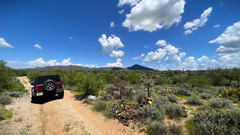
Buck Tank Trail takes you from East Freeman Road on the south to E 96 Ranch Road on the north. It primarily runs along a fence line. The trail crosses washes with a few small ascents and descents that a newer off-roader would find fun. The trail begins on BLM land on the south end and rolls into AZ State Trust Land after a short distance. There are only a couple of established camp spots on this trail. They are tucked away off the beaten path. Buck Tank Trail provides sightseers and photographers with plenty of desert scenery to explore. AZ pinstripes are likely over the course of the 5 miles. A state trust land permit is required.
Updated: 10/15/2024
Parissawampitts Point Road
North Rim, Arizona
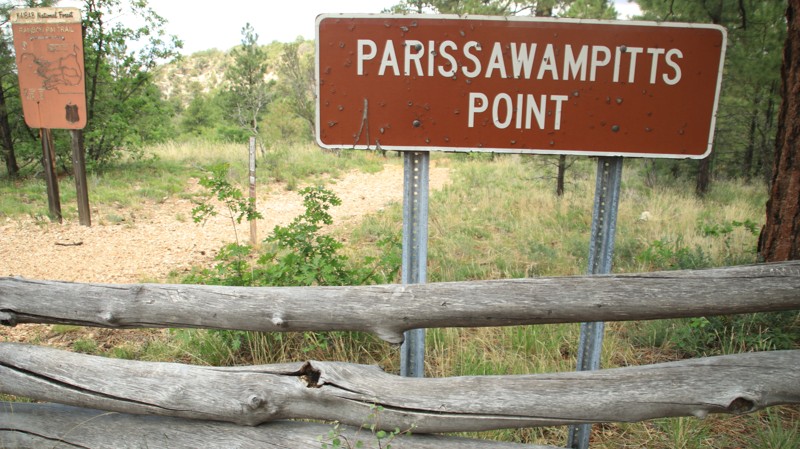
Parissawampitts Point Road leads to fairly unimpressive views when compared to the viewpoints to the south. However, it's an exceptionally nice road. There are a few campsites. The point is the northern terminus of the Rainbow Rim hiking trail.
Updated: 10/15/2024
Sycamore MT1854
Fort McDowell, Arizona
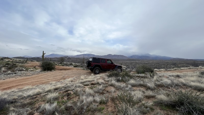
MT1854 starts at the Sycamore Creek staging area and heads east. This trail is mostly deep sand and requires 4WD. The further you travel, the trail transitions to dirt becomes narrower. There are a few sections of high-banked turns with overgrown brush that will put your vehicle a bit off camber.
The best place to camp is near the western end, close to the beginning of the trail. You can also set up in one of the wider sections along the route.
Updated: 10/15/2024
Chipmunk Spring
Pinetop Country Club, Arizona
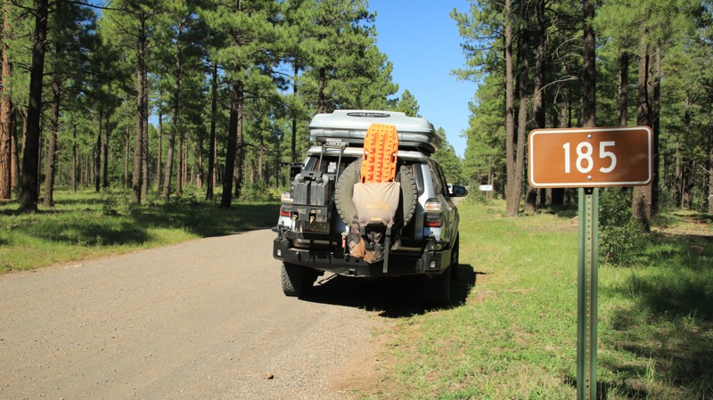
Chipmunk Spring is an easy gravel road running through a beautiful pine forest between Sky Hi Road and Turkey Run, FR 283. The area often has wonderful wildflowers in late summer. There is no camping along the trail. However, there are dispersed campsites along some of the many spur trails.
Updated: 05/14/2024
General Springs
Payson, Arizona
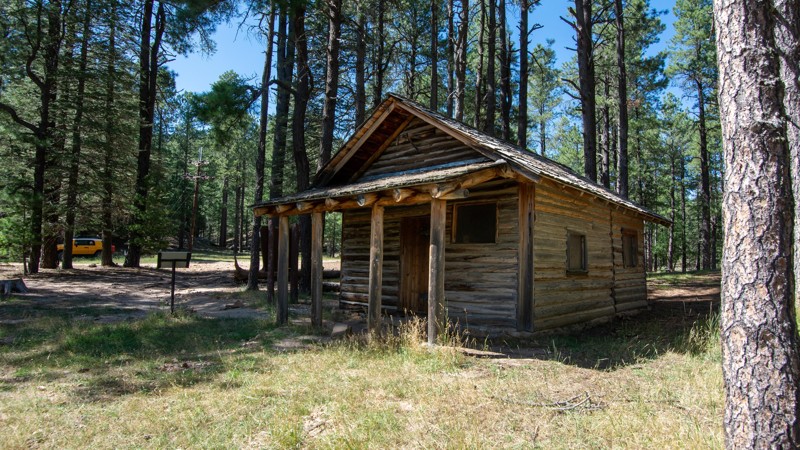
Directly off of the 44.5-mile Rim Road, General Springs is a quick side trip well worth your time when navigating one of the best roads along the Mogollon Rim. Through the tall pines, you end at a beautiful Arizona style meadow with the well preserved General Springs Cabin. This is an excellent side-trip for anyone looking for good camping and access to fantastic hiking trails.
Updated: 11/20/2025
Reservation Ranch
Greer, Arizona
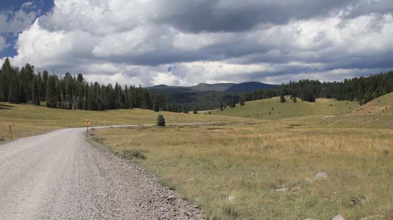
Reservation Ranch runs southwestward from Highway 273 to the Fort Apache Indian Reservation border. A rest area with a vault toilet sits near the trailhead. The graded trail Initially passes on the north side of a vast, wide-open alpine meadow with numerous dispersed campsites nestled on the edge of the pine forest. The road winds down into a small valley and crosses Thompson Creek, a favorite with anglers trying to hook a wily trout. An easy and beautiful hiking trail meanders along the creek. The road climbs into the forest before officially ending at the reservation border. Reservation Lake and Campground is just a mile ahead. All activities on tribal land require a permit.
Updated: 10/15/2024
Indian Hollow
Ryan, Arizona
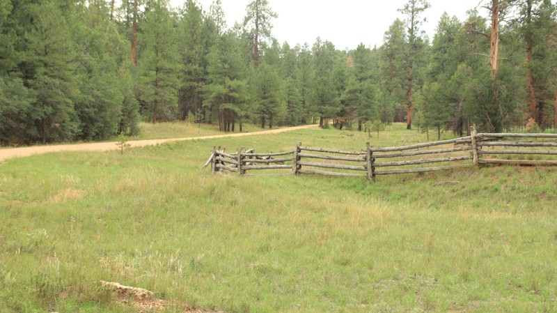
Indian Hollow passes through the western edge of the Kaibab Plateau to reach the Indian Hollow hiking trailhead, though most know it as the Thunder River trailhead. The Thunder River Trail is an extremely arduous multiday hike that leads to an enormous spring gushing from a cliff face in the Redwall Limestone. The spring forms its own river.
The Forest Service conveniently provided Indian Hollow Forest Camp near the trailhead. The campground is free with three separate campsites. Each site has a picnic table, a fire pit, and a grill rack. There's also a vault toilet.
Updated: 06/23/2025
Diamond Rock
Three Forks, Arizona
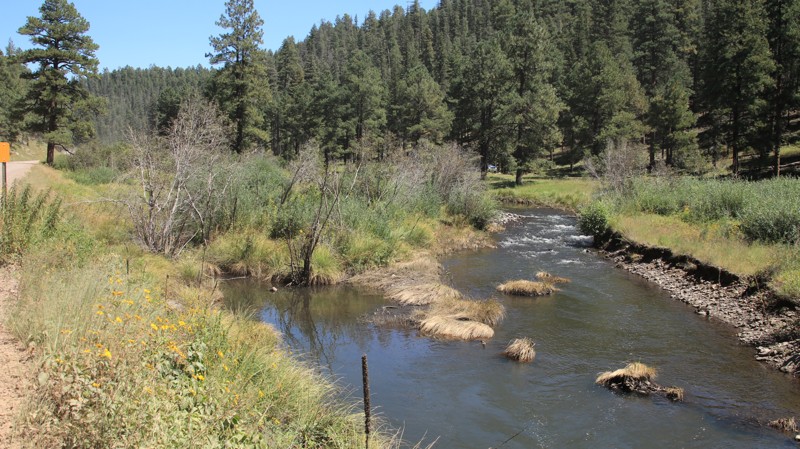
Diamond Rock runs from the paved FR 249 in the north to very near the Buffalo Crossing bridge on the Black River's East Fork. In the north, the trail passes through a pine forest with numerous large dispersed campsites. The trail parallels the East Fork on the southern end, dotted with pullouts for river access and numerous small waterside campgrounds. The campgrounds all offer picnic tables, fire grates, vault toilets, and potable water in season. The area is very popular with anglers in search of wily trout. The trail is generally easy, with mountain grades, sharp curves, and one-lane bridges.
Updated: 06/05/2022
Corral Road
Chino Valley, Arizona
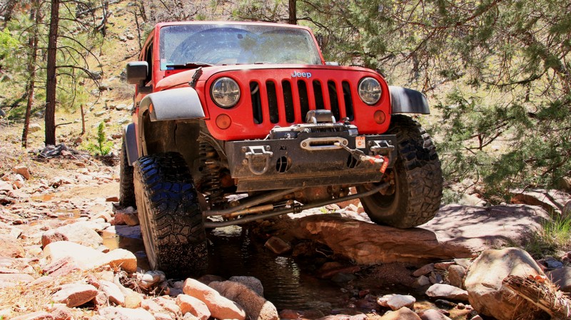
Corral Road takes you off the beaten path in the rugged Camp Wood area of the Prescott National Forest. This trail isn't for the timid or those who value their rig's paint job. If there's a touch of the explorer in you, give it a try. Corral Road aptly begins at an old corral just off Walnut Creek. Almost immediately, the trail becomes narrow, with dense vegetation pushing in from the sides. When the brush clears a bit, you are enticed onward and upward by the impressive views of the twin 7200-foot peaks of Camp Wood and Hyde Creek Mountains. After a slow and steady 2.7 miles, you cross Hyde Creek for the first time. The trail winds upward along this drainage until topping out at the saddle between Hyde Creek Mountain and nearby Pinetop Mountain. This is an actively ranched area. Expect to see cattle in the summer among the pines near trails end. Deer, turkey, and javelina are also common in the area. The road ends at an old cattle watering tank near Brown Spring. The turnaround is a good place for a shaded picnic with nice views.
Updated: 08/12/2023
FR 132A
Mormon Lake, Arizona
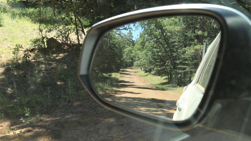
So you're having a great time running the wonderful variety of trails found in the majestic Coconino National Forest and definitely not ready to put asphalt under your dusty wheels. Why not use the delightfully dirty FR 132A to cut over from Crimson Road to Casner Park Road and the spider web of trails available from there? Why not, indeed! FR 132A winds through a ponderosa pine forest with old-growth trees along its curvy 4.5 miles. The trail also offers a side trip to the summit of Mormon Mountain, elevation 8510 feet, and its antennae farm and views. You might spot elk watering at Mud Spring Tank or maybe a wild turkey crossing the road near Rock Dike Tank. If not, be happy. You're still on dirt.
Updated: 03/09/2026
Bull Pen
Camp Verde, Arizona
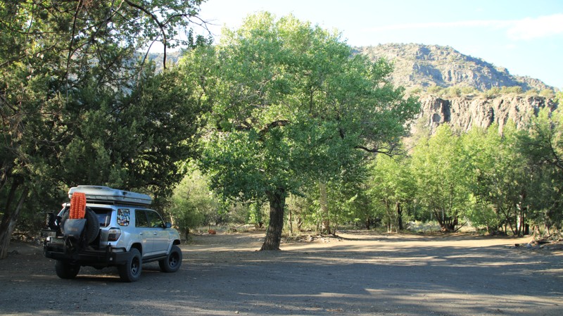
Bull Pen is named for a canyon through which runs West Clear Creek, a tributary of the Verde River. The road to Bull Pen branches off Beaver Creek. There are several dispersed campsites along the first two miles of Bull Pen. One has a great view. Another is flat and large enough for multiple rigs. The trail descends steeply into a lush riparian day-use area, the Bull Pen. There is no camping, but the site has a vault toilet and numerous areas to park, picnic, and splash in the cool waters of West Clear Creek. Tall sycamores and cottonwoods provide shade, while the thickets of underbrush are alive with bird calls. The day-use area also serves as a trailhead for the West Clear Creek hiking trail,
Updated: 10/15/2024
FR 1818
Tortilla Flat, Arizona
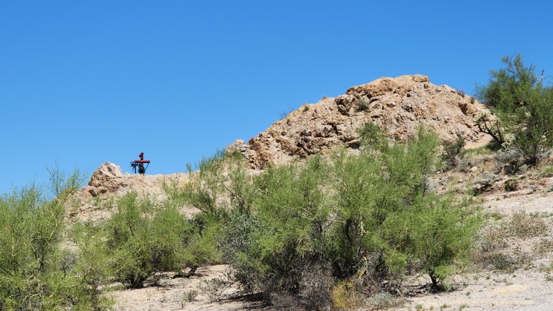
FR 1818 begins on the Apache Trail's right-hand side just a few miles before reaching Canyon Lake. It is a short track with an interesting descanso or memorial along the way. The trail provides a nice view of Canyon Lake at the end. Looks like the road was recently leveled in order for some heavy equipment to change out the electrical lines at the end of the trail.
Updated: 06/05/2022
FR 109
Mormon Lake, Arizona
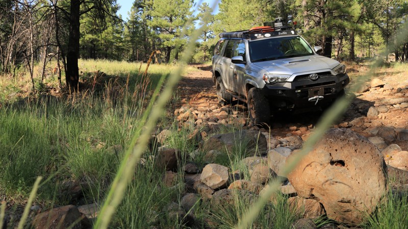
Many of the roads on the Mogollon Rim go through impressive forests and pass scenic alpine meadows. They are also fairly smooth, easy driving, and sometimes crowded. If you are looking for all that minus the smooth and crowds, FR 109 might be for you. This seldom-used road follows along the Bargaman Draw. A draw is a western term for a shallow canyon. Starting at the northern end, you leave Bargaman Park, a wide and beautiful alpine meadow. The road quickly becomes a rock-littered two-track. The pines on the west side of the trail show some soot from 2016's Jack fire. But the forest is in largely good health. Looking through the pines to the west, you can make out the slopes of Pine Mountain, a promontory topping out at almost 8,000 feet. The road makes a rocky crossing of Bargaman Draw just over four miles from the start. Large boulders are strewn haphazardly, making you choose your line with care. The crossing changes frequently following summer monsoon storms. Not long after clearing the crossing, it is almost a shock to round a curve into a large, open meadow. There are some great campsites on the southern side of this unnamed park. FR 109 deposits you onto Willow Valley. If you want more of what you just went through, turn left for a rocky ride. A right turn takes you onto the smooth part of the Willow Valley trail.
Updated: 03/15/2026
Pucker Ridge
Superior, Arizona
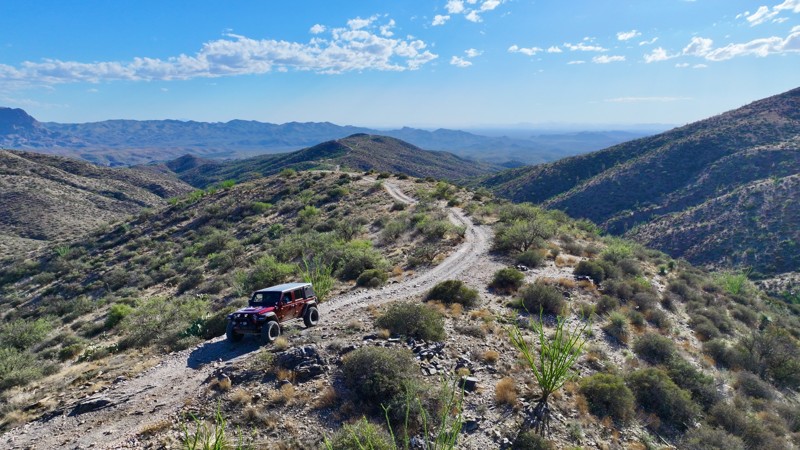
This rugged trail serves up everything an experienced off roader could ask for—steep, rocky climbs, several topping 20 degrees, a series of rock ledges, and off-camber sections that trace along a narrow shelf road with over 1,000 feet of elevation change. Once you pass the northern intersection with FR2359 (Bear Tank Ridge), the difficulty ramps up sharply—this stretch is not for beginners or the faint of heart. Careful tire placement and a confident line are essential through the more technical obstacles and uneven terrain.
Along the way, history buffs will find a couple of must-see stops. At 0.88 miles from the southern intersection with FR650 (Happy Camp Trail), look for a cave dwelling tucked into the wash, offering a glimpse into the area’s ancient past. Then, at 1.1 miles, you’ll encounter the remains of an old stagecoach jail, a weathered reminder of the wild frontier days.
Due to the steep, rocky terrain, there are no viable campsites along this trail, but when combined with Moose Rock Ridge and Kat Walk Ridge, you can create a full, challenging loop that’s as scenic as it is demanding.
Updated: 11/15/2024
Palatki Heritage
Sedona, Arizona
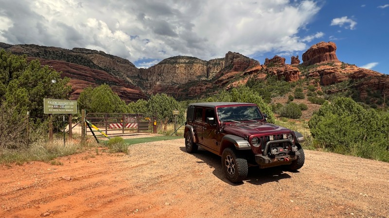
This flat, dirt, and gravel road provides access to the Palatki Heritage Site. The road is signed and mapped as FR 795, as it branches off Loy Butte Road, FR 525. Most passenger cars with 2WD should be able to navigate during dry weather conditions.
The Coconino National Forest website offers the most up-to-date information on visitation. Reservations and a Red Rock permit are required to visit the Heritage Site but not to run the trail.
The Palatki Heritage Site and its sister site, Honanki, were the largest cliff dwellings in the Red Rock Country between AD 1150 and 1350. There are three trails at Palatki Heritage Site. One trail takes you up to the Sinagua cliff dwellings. This trail includes 60 uneven fairly strenuous steps. Please be aware of personal limitations. Another is wheelchair accessible and takes you to a view of the dwellings. The third goes to the alcoves that shelter the painted pictographs and petroglyphs from every native culture to ever occupy the Verde Valley.
No camping or campfires are permitted along this trail. Loy Butte Road has designated dispersed camping available nearby.
Updated: 06/05/2022
Zulu Mine
Payson, Arizona
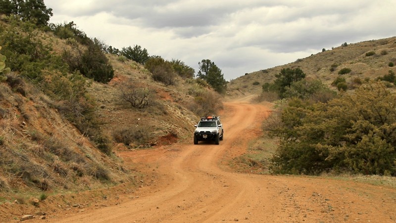
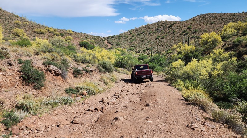
In 1878 Sam Hill discovered gold near the present site of the Zulu Mine. The mine operated via an underground shaft following a vein of gold encased in diorite. The mine ceased operation in 1940, and little is left of the site beyond the tailings and the road leading to it. Cattle graze over the former site, more interested in the sparse grasslands of this high chaparral biome than any gold that might be left. Located in the Tonto National Forest, at 2,873,200 acres, the largest of Arizona's National Forests and seventh largest in the nation, Zulu Mine Road, FR 523, is in the looming shadow of the jagged Mazatzal Mountains to the west. Indeed the views afforded from the small hill on which the mine sat are worth a bit of gold themselves and definitely worth the effort negotiating the final steep, narrow portion of the trail. Come check them out for yourself.
Updated: 03/11/2025
North Woodpecker Trail
Reymert, Arizona
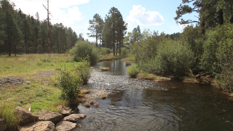
North Woodpecker Trail connects from the northeast end of the Woodpecker Trail to the south end of the Highway to Hell trail. It is a great connector to use if you do not want to backtrack the Woodpecker Trail and you don't want to do Highway to Hell. The road has a couple of optional minor rock-crawling spots that may require something more than a stock 4x4. There is a memorial at the south end of North Woodpecker Trail where it connects to Highway to Hell. This trail has amazing views of the eastern section of the Middle Gila Canyon. Interestingly the trail is almost completely on BLM land, with a little section right in the middle that shows it is private land owned by the AZ State Assoc of 4 Wheel Drive Club, Inc. No camping was observed.
Updated: 08/11/2025
Conklin Springs Road
Three Forks, Arizona
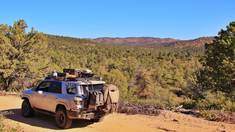
Conklin Springs runs south from the Big Lake Recreation Area to intersect with Black River Road. There is no dispersed camping inside the Big Lake Recreation Area, only in the designated campgrounds. The first three miles of Conklin Springs are inside the recreation area. You will know when you exit the restricted camping area. Not only is there a sign, but there are also dozens of very popular dispersed campsites. Additionally, the West Fork campground sits near the trail's southern end. It is a free, primitive campground alongside the West Fork of the Black River. The only amenities are several pit toilets.
The road traverses burned areas from the 2011 Wallow Fire and pristine pine forests that escaped the blaze. The road is easy to drive but has numerous curves and switchbacks.
Updated: 06/05/2022
Conger Water
Chino Valley, Arizona
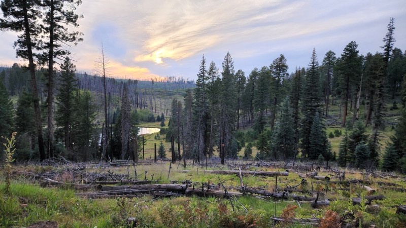
Did you know there are alligators in Arizona? There are. They are Alligator junipers, named for the checkered scales of their dark bark. They are the most ancient plant species in the state. Alligator junipers may live a thousand years but exist only at a certain elevation band above the classic cactus desert and below the higher elevations of the Ponderosa Pine. Alligator junipers, along with their fuzzy barked cousin, the Utah juniper, pinion pines, Gambel oaks, and the red-limbed manzanita bush, define the rocky high desert chaparral. Conger Water runs along the southern slopes of the Prescott National Forest's Chino Valley Ranger District through a pristine chaparral forest with impressive Alligator junipers. An outstanding example of the species canopies over the shady campsite at Waypoint 5. The botany alone would make Conger Water worth the drive, but it offers much more. Conger Water offers surprisingly good views of the varied and dramatic topography of rugged west-central Arizona. B.T. Butte lords over the smooth eastern section of Conger Water. The rounded shoulders of the butte are like all the others in the area, but the rocky-scaled promontory on its southern side sticks up like a rhinoceros horn making it unmistakable. The rocky shelf road climb up the side of Anderson Mesa slowly reveals a topographical tapestry of buttes, mesas, canyons, valleys, and mountain ranges as far away as the Bradshaws. Visit Arizona's alligators and take in the views while you are at it. Conger Road is short in distance but long on interest.
Updated: 08/12/2025
Aker Lake
Hannagan Meadow, Arizona
Nestled deep in the White Mountains, Aker Lake is a small slice of fishing and overlanding heaven. There's plenty of camping along the approximately four miles of trail. The real gem here is Aker Lake. Very little is known about the dam that created Aker Lake. Located approximately 8800 feet above sea level, Aker Lake provides fishing for enthusiasts using artificial lures and barbless hooks. It is a catch-and-release only lake. The lake is stocked annually with both Apache and Arctic Grayling trout. A valid Arizona fishing license is required. This area is popular with hunters, so Game and Fish officers frequently visit the lake.
There are no facilities at the lake. However, there is dispersed camping located close to the lake, letting you walk to the lake and start fishing as soon as you arrive. You will likely have the lake to yourself should you decide to camp. The area is rich with wildlife, and spotting deer and hearing elk bugles is not uncommon.
The trail is 25 miles south of Aspen, directly west of Highway 191.
Updated: 02/24/2025
Florence Kelvin Highway
Cochran, Arizona
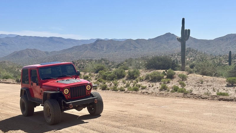
Florence Kelvin Highway is a scenic 12-mile graded dirt road that winds through creosote bushes, chollas, and ocotillos, and, depending on the time of year, colorful wildflowers that carpet the desert floor after heavy winter and spring rains. Along the drive, you will also be rewarded with the sights of a rare crested saguaro for those with a keen eye. This is an easy drive, and the traffic is usually light. The road dips and goes from gravel to sand at times and begins to curve much sharper, where the landscape morphs from vast, open Sonoran desert to rugged mountain terrain on the approach to the Tortilla Mountains. In the distance, you'll see a huge hash in the mountainside, courtesy of an open-pit mine. You'll also glimpse a lush riparian area fed by the Gila River. After you pass the A-Diamond Ranch headquarters, the road begins to climb and near the end of the dirt road, you'll cross over the Gila River on the one-lane bridge called the "Jake" Jacobson Bridge of Unity.
Updated: 10/15/2024
Artillery Range
Florence, Arizona
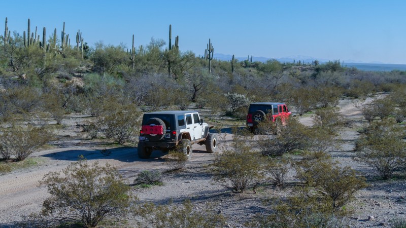
Traveling along the border of the Arizona National Guard artillery range, this moderate 4x4 trail crosses the desert flats before dropping into a twisting rocky wash. The trail is ideal for stock, high clearance 4x4s, and beginner off-road users. You'll drive along the artillery range fence line, where numerous signs mark the boundary. The entire region was once used for large artillery testing. Recently, the range has been limited to small arms testing and training within this boundary. Camping is abundant in the northern section of the route. There are numerous wide-open flat spaces for large groups or a solo tent under the stars.
Updated: 01/11/2026
Estrella Road
Buckeye, Arizona
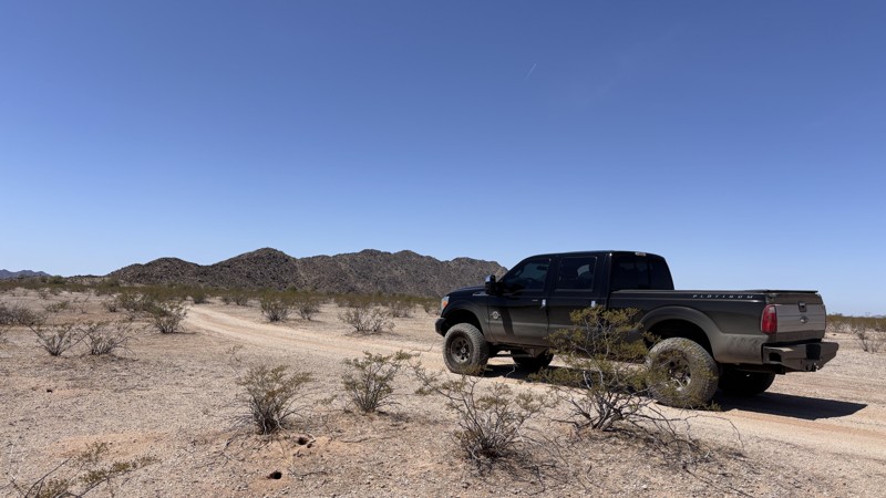
BLM 8002 is mainly a connector road from Komatke Road on the North, to Maricopa Road and the Estrella Road Parking Area on the south. It is a corridor to Margie's Cove East trailhead and also the Butterfield Pass. The road is mostly overgrown, 4x4 is strongly recommended as there is a short section of a silt bed that you have to drive through, and a large off-camber section that low-clearance vehicles may have difficulty on. Good tire placement and attention will make these sections a breeze. Avoid this road if it has been raining, as most of the road traverses through a wash.
The first 0.9 miles is a fairly open dirt road. Once you pass the northeasternmost tip of the Maricopa wilderness area, the trail starts to follow a wash. Much of the trail is overgrown and expect significant pinstriping to occur throughout the next 3 miles. There is a small area suitable for camping just after the 3-mile point (33.10425, -112.43792). At the 6.11-mile mark, the road splits. Continue to the left to stay on 8002. The road on the right is 8002A and will take you to Margie’s Cove East Trailhead. 8.55 miles from the beginning of this trail marks the intersection of the Juan Bautista de Anza National Historic Trail/Historic Butterfield Stage Trail. The trail continues and gets a bit rough, being at the foothills of the mountains. At the 10.44-mile mark, the road widens and turns into a very well-maintained and graveled road for the last 2.4 miles. The trail terminates at Maricopa Road. There is a large parking lot there with picnic tables available for day use.
Updated: 09/10/2026
Cinder Hills OHV Access
Timberline-Fernwood, Arizona
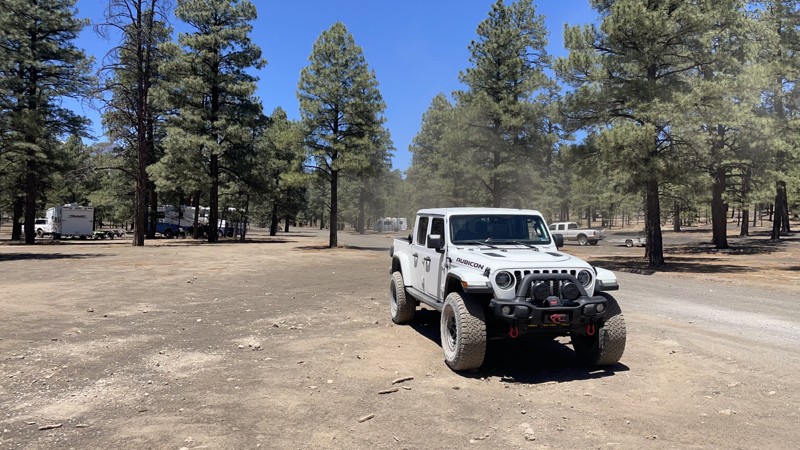
FFR776 is the main access road from US-89 to the Cinder Hills OHV area and FR777. Camping is prohibited until you get into the Hills. There is no through-access to the Sunset Crater National Monument because a closed gate at the end of FR776 prevents you from connecting. There is excellent RV-accessible camping and group camping along FR776 past the sign into the Hills.
People come here for a one-of-a-kind experience: climbing "dunes" made of volcanic cinder at 7000-8000 feet elevation, with amazing views. This is a really unique and excellent attraction. It is also not for the faint of heart or those with low clearance or street tires. Most users come to camp along FR776 and tear it up on quads, razors, dirt bikes, and rails along FR777 and offroad. Some of us, more casual offroad enthusiasts, show up in jeeps or something similar - and will not be climbing these epic slopes. Those who come in RVs will stay close to the main road FR776 and around Cinder Lake. This OHV area is right in Flagstaff, so you can get out, have fun, and return to your home or hotel in time for lunch. This is also one of the best places to camp in Arizona, especially for large groups, because of the unlimited and uncrowded dispersed camping options.
Sunset Crater National Monument has two campgrounds (Bonito and O'Leary Group Campground), but these are on the Sunset Crater side of the area, not the Cinder Hills OHV side. Dispersed camping is allowed throughout the OHV area and is abundant. There are many excellent large-group RV sites along FR776. Camping in the Cinder Hills is fantastic! There are no bugs, and it's such a large area that it never gets crowded.
The astronauts of the Apollo moon landing missions trained to drive their moon rovers and use their equipment here! Cinder Lake, which you see on the east side on the way in on FR776 just inside the Cinder Hills OHV fence, is where that happened. NASA detonated explosives all over this "lake" to form a series of craters, and the astronauts practiced their moon rover-4x4 driving. You can still see some of the craters using satellite photos overhead. When you head across that Cinder Lake in your jeep, you're re-enacting a significant part of U.S. history! According to NASA, this is as close as it gets to driving on the moon. When you're out in the middle of Cinder Lake, it's not hard to imagine driving on the moon or Neil Armstrong training here in the 60's. Head up to the USGS Astrogeology Center in Flagstaff for more of this interesting history (you might need an appointment). Or, visit Lowell Observatory in town, where those same astronauts worked with scientists to map the moon's landing zones using the Clark Telescope there.

Upgrade your Membership
Unlock all of the details on every Trail Guide and Scout Route.
Start a 7-day Free TrialBrowse Trails in Arizona by City
Browse every Arizona city with offroad trail guides.
Community
Partners

