
Box Canyon - Florence (16.06 miles away)
Florence, Arizona
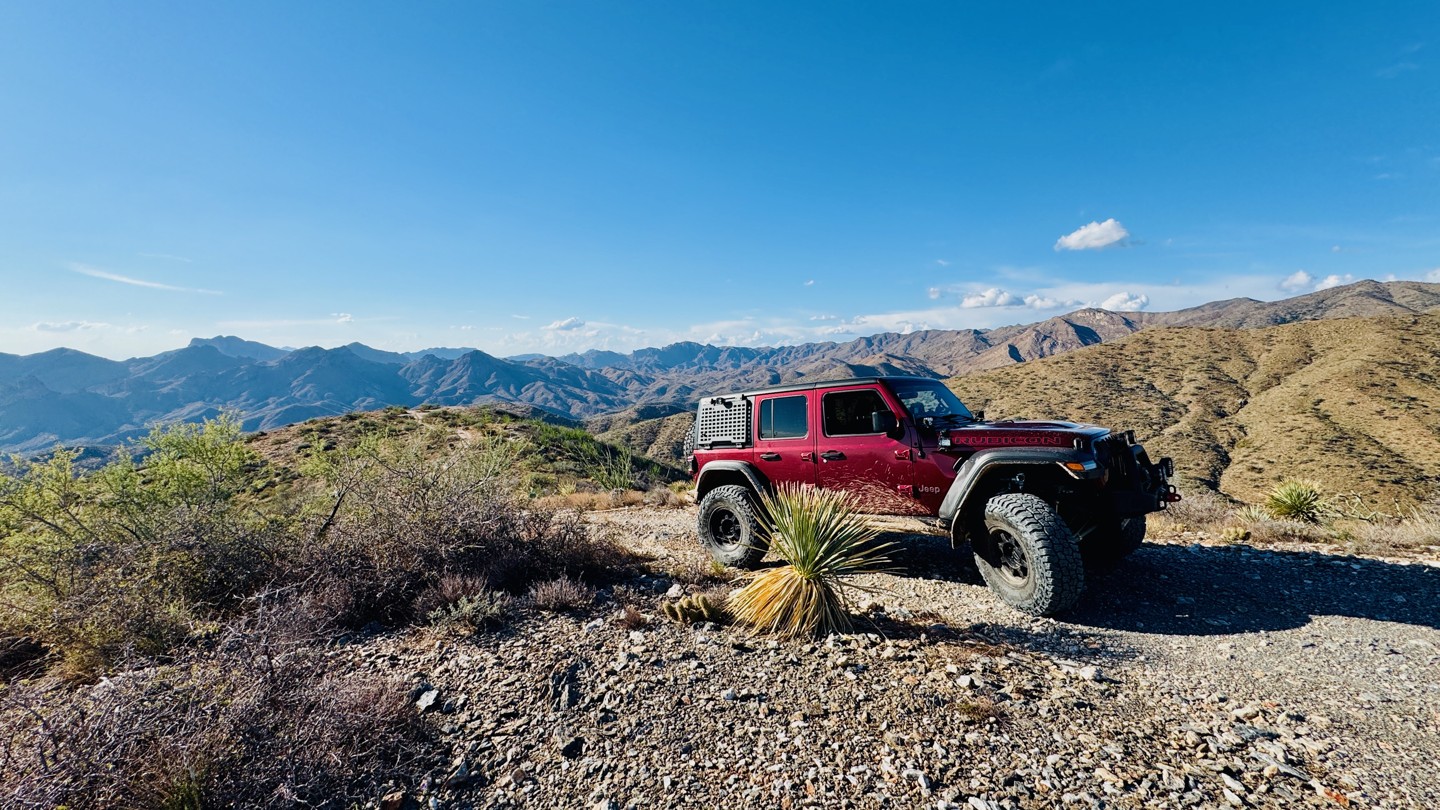

This trail runs along the highest elevation point of the Hewitt Station inner loop network, giving drivers the feeling of being on a “KAT Walk,” with wide-open views overlooking the town of Superior and the valley below. Its difficult rating comes from the rocky, high-elevation shelf roads that edge both sides of the trail in sections, along with a few challenging rock steps to navigate. A notable one-mile stretch features an 800-foot elevation change that drops into a scenic canyon before climbing steeply back out. When connected with Pucker Ridge and Moose Rock Ridge trails, it creates a memorable and scenic loop that rewards experienced drivers with incredible ridge line scenery and technical terrain. With its steep drop-offs and narrow width, this route isn’t for the faint of heart. There are no viable camping spots along the trail.
It appears, on the ground, the trail continues west of the intersection with FR1903 (Moose Rock Ridge) however this section of trail is closed and not included in the GPS guided track.