







By clicking "ACCEPT", you agree to be the terms and conditions of each policy linked to above. You also agree to the storing of cookies on your device to facilitate the operation and functionality of our site, enhance and customize your user experience, and to analyze how our site is used.
Arizona Off-Road Trails
373
Total Trail Guides 359

4679
Detailed Waypoints 676
Try a Free 7-Day Trial and unlock it all
Start a Free Trial Most Recent Trail Reviews
Rated 4/5
Open
Visited: 09/22/2026
Hard pack, easy forest service road that is a great back way to the North Rim of the Grand Canyon.


Tyler D’Hulst
Rated 4/5
Open
Visited: 09/22/2026
Spring Canyon is a beautiful drive. We didn’t go out to the cabin but used this western section of road coming back from Crazy Jug

Tyler D’Hulst
Rated 4/5
Open
Visited: 09/22/2026
We took this out to Crazy Jug. The northern section is hard packed forest service road. Not difficult. Very scenic drive through the ponderosas.

Tyler D’Hulst
Rated 5/5
Open
Visited: 09/22/2026
View point is spectacular! Trail was easy going out, no obstacles at all. Saw a Toyota Camery at the viewpoint.


Tyler D’Hulst
Rated 3/5
Open
Visited: 09/22/2026
An alternative route out to Crazy Jug Point. It’s easy and can be scenic in areas. I’d recommend West Ryan out to Crazy Jug though.
Tyler D’Hulst
Rated 3/5
Open
Visited: 09/22/2026
A quick connector trail through the burn patch.
Tyler D’Hulst
Rated 5/5
Open
Visited: 09/20/2026
Leviathan Mine trail is a full day trip. Though it is only 20 miles in length the travel is slow and rough. Majority of the trail you will be going between 5-10 MPH. Then once at the end it connects w...



Eric Gartin
Official Crew
Rated 4/5
Open
Visited: 09/19/2026
Simple road, well graded today. Many mountain bikers coming down from the West out of Breezy Pines. Not too many people out until approaching Senator Hiway. We went East to West as I think thats a bet...



Jeff Burnett
Rated 3/5
Open
Visited: 09/19/2026
The trail itself is not spectacular, it's pretty flat across the plains. However, driving up to the overlook and seeing a huge gaping hole in the ground is a great juxtaposition to the flat trail. The...
Tyler D’Hulst
Rated 3/5
Open
Visited: 09/19/2026
A nice trail ride from the main road down off the plateau. It's graded forest service road until the switchbacks. The switchbacks themselves are not difficult, road is not graded. This section has bee...
Tyler D’Hulst
Rated 3/5
Open
Visited: 09/18/2026
The end of the trail is not well marked, and can cause confusion. Also, vehicle passes are required for all backcountry routes within the Lake Mead National Recreation Area.
Eric Gartin
Official Crew

Ted Whisler
No Rating
Open
Visited: 09/17/2026
Nice ride west side a little rocky but rating is true to #2


Ted Whisler
Rated 3/5
Open
Visited: 09/15/2026
A nice drop off the plateau heading towards Marble Canyon. Not a difficult road. Road is weathered but not challenging.
Tyler D’Hulst
No Rating
Temporary Closure
Visited: 09/15/2026
Road closed due to multiple washed out wash crossings after the turn off to go up the mountain. "Road Closed" sign put out by BLM on trail.
Tyler D’Hulst
No Rating
Temporary Closure
Visited: 09/15/2026
After the turn off to head up the mountain there are multiple washed out wash crossings. A "Road Closed" sign has been put out by the BLM.
Tyler D’Hulst

Ben Ruddell
Official Crew
Rated 4/5
Open
Visited: 09/14/2026
Bogles Ranch Road is a great Sunday afternoon drive type of dirt road that climbs up in elevation and gives some spectacular views of the surrounding area. The first half passes through State and Priv...


Eric Gartin
Official Crew
Ben Ruddell
Official Crew
Rated 3/5
Open
Visited: 09/14/2026
Antares Road is an excellent way to travel from Route 66 to the eastern portion of the Lake Mead National Recreation Area. This wide county road is well maintained with minor washboarding, most of whi...


Eric Gartin
Official Crew
Rated 3/5
Open
Visited: 09/14/2026
Hackberry road is a wide dirt road with minimal erosion damage and washboarding. There are a couple of larger washes that cross Hackberry road creating wide stretches of loose sand which can cause iss...


Eric Gartin
Official Crew
Rated 3/5
Open
Visited: 09/13/2026
This is a very rough, rocky, & slow going trail. Expect around 4+ hours for the trail & another hour to get the highway. One of those trails I'm happy I did but I wont be back personally. High clearan...

Brandon W
No Rating
Open
Visited: 09/12/2026
I think the rating is spot on. The ruts and washouts at the beginning are not as bad and if you hug the inside of the shelf road they can be avoided. The middle part is same general sandy wash with ov...



Greg Page
Rated 4/5
Open
Visited: 09/11/2026
Ran this trail as part of a larger loop. Trail is in great shape. Easy for standard 4x4 with no lift. Passengers can do it until maybe the very end by the lake where the road gets rocky and washed out...


Jeff Burnett
Rated 5/5
Open
Visited: 09/10/2026
This is one of my favorite scenic trails in the area. The trail is easy to travel, but does have some optional short trails that will test your vehicle. The views from the Grand Wash Cliffs of the Hua...


Eric Gartin
Official Crew
Rated 3/5
Open
Visited: 09/07/2026
This trail by itself is nothing special. It is mostly used as an access road to get to the more technical trail such as Homecourt, Twister, and Waynes World. This is a great trail for the beginner to ...


Eric Gartin
Official Crew
Rated 3/5
Open
Visited: 09/07/2026
This trail is an enjoyable alternate route when traveling on Blake Ranch Road (7163). The trail is easy with only a handful of spots with erosion damage. The few established camping sites appear to n...


Eric Gartin
Official Crew
Rated 5/5
Open
Visited: 09/07/2026
Ran this trail from Boynton Pass Road to Loy Butte Road (opposite direction from what is listed). Ran into a few rental ATVs and a couple of Jeeps heading the opposite way. This was a fun trail wit...



Daniel Macioce
Rated 5/5
Open
Visited: 09/07/2026
This trail was a lot of fun, plus the views were amazing. I ran the trail in the order posted, starting at the south trailhead and finishing at the heritage site. Past a motorcycle, a few jeeps and a...


Daniel Macioce
Rated 4/5
Open
Visited: 09/07/2026
Nice trail, ran West to East. For some reason the map shows this a a one-way trial, East to West. That is not the case, it is a two way trail. Was pretty washed out starting around mile 12. Plenty roc...


Jeff Burnett
No Rating
Open
Visited: 09/06/2026
New trail for me. You didn’t know what it would throw at you around every corner which is why you try to find new trails or old forgotten ones
KB
Kory Burden
Rated 5/5
Open
Visited: 09/06/2026
The trail is no joke—steep, narrow, and technical enough that you’ll want to be comfortable with off-camber shelf roads, rocky terrain, and washouts that will test your vehicles articulation. The rew...



Bobby Rumbaugh
Official Crew
Rated 5/5
Open
Visited: 09/06/2026
Fun trail if you don't want to do pyeatt draw itself. Ran this trail 3yrs ago and definitely a little more erosion but, still any truck or suv with good factory ground clearance can do it. From previo...
JM
James m
Rated 4/5
Open
Visited: 09/06/2026
Ran this trail from I-17 to Sedona. Extraordinary views descending into Sedona. As others have noted, there are lots of rock on the trail, making it slow going. Passed a large number of Pink Jeeps ...


Daniel Macioce
Rated 4/5
Open
Visited: 09/05/2026
This one definitely changed over the last few years. The southern section has some legit, steep, off-camber sections. YOU NEED experience, backup, and a capable vehicle on this one now. It's not supe...


.jpg)
Bobby Nelson
Official Crew
Rated 4/5
Open
Visited: 09/05/2026
Another amazing time on this scenic crossover. We came in from Walnut Canyon and finished out on Price Road after about 6 hours. A challenging and hot day for the old TJ. Rincon Road has evolved into ...


Bobby Nelson
Official Crew
Rated 4/5
Open
Visited: 09/05/2026
We started exactly at sunrise to try and beat the heat. We planned to crossover to Box Canyon and out on Price Road. It ended up taking us 6 hours, even with all the photos and filming we did. A chall...


Bobby Nelson
Official Crew
Rated 5/5
Open
Visited: 09/04/2026
We recently ran Four Peaks after the monsoon rains. Here’s what we found and what to expect if you’re planning to run it. Have a GR8 day!

Jeep 4 Dirt
Rated 5/5
Open
Visited: 09/04/2026
Breathtaking views. Definitely don't rush through the trail. Devil's staircase was a bit slippery but awesome. A few tight stops here and there, but a trail that's a must on anyone's to do list.



Christopher Bradley
Rated 4/5
Open
Visited: 08/30/2026
Id say this is a 3.5 to 4 trail. There are some obstacles, but nothing you really need to think hard about how to approach. If you send your vehicle at it in 4 low you'll get through everything.



Justin Holsinger
Rated 4/5
Open
Visited: 08/28/2026
Rim Road (FS300) West to East. Very well groomed gravel forest road. Accessible by just about any vehicle thats not been lowered. Who does that anyway? Scenic views the whole route. Hard to believe on...


Jeff Burnett
Rated 4/5
Open
Visited: 08/28/2026
Not a bad road but it was crowded with sxs and vehicles towing campers. Hard to rate 5 stars for a busy road. Super easy any vehicle can do this. Part is paved near the freeway but the rest is gravel.

Tony Rockwell
Rated 4/5
Open
Visited: 08/28/2026
I rated 4 stars just due to the volume of sxs & camper trailers on the road.
Easy drive, any car can do this.
Ran from sheep springs to munds park, see other reviews for full route.

Tony Rockwell
Rated 4/5
Open
Visited: 08/28/2026
I ran Bar M in reverse to get to this trail. Then headed toward Casner Park Road. (See reviews I did on each of those)
Nice easy trail that is less rough than Bar M.
Nice drive through trees.


Tony Rockwell
Rated 5/5
Open
Visited: 08/28/2026
Very bumpy due to rock infused trail. A few larger rocks, 8-12” tall in places but most stock 4x4’s should be able to navigate around or over them. I would say any 4x4 with all terrain tires could nav...


Tony Rockwell
Rated 3/5
Open
Visited: 08/27/2026
Overall decent little trail; camped out near Committee Tank (not suitable for tent camping - too rocky). Nothing too technical but enough to keep things interesting. High clearance and good line choi...


Bill Ferguson
Rated 3/5
Open
Visited: 08/27/2026
Connector from FS801 (Rock Garden Loop) to FS09494F (Committee Tank Trail); yeah, it lives up to its namesake. Very rocky. High clearance and picking good lines are an absolute must. Car camped at...

Bill Ferguson
Rated 5/5
Open
Visited: 08/27/2026
Nice trail saw some deer it’s a little rough but overall was easy


M
Maddox
Rated 5/5
Open
Visited: 08/23/2026
Great little adventure for the day. Dirt road is pretty rutted up due to monsoons, but easily drivable. Lake itself is extremely low.
LL
Larry Lapp
Rated 4/5
Open
Visited: 08/22/2026
A fun side trip that has a steep hill climb. Due to recent rains, the wildflowers were blooming.


Bobby Rumbaugh
Official Crew
Most Popular

Updated: 05/20/2026
Jeep Cove Road
Mohave Crossing, Arizona
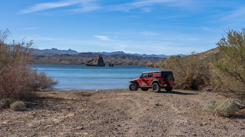
Jeep Cove Road is a 6.2-mile dead-end trail that follows along the wide Lost Cabin Wash to a campsite at Jeep Cove on Lake Mohave. This simple road follows the dry wash the entire way, passing through towering scree cliffs. The road surface is loose gravel and scree with an occasional "gotcha rock," a large boulder randomly lying on the side of the trail that can easily take out a tire or bend a rim if not paying attention. Be cautious of loose terrain, as it can cause fishtailing if traveling at high speeds. The farther down the trail you travel, the higher the cliff walls get until you get down to the water's edge, where you are greeted with expansive views and a unique rock formation in the middle of the water. The campsite at the end is large and level and good for any size group. This trail is suitable for any high clearance vehicle and easily traveled in 2WD.
Updated: 06/08/2023
FR 613
Pine, Arizona
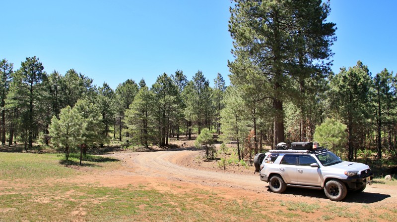
Running through the tall Ponderosa pines of the vast Coconino National Forest, FR 613 is one of the more seldom-used trails in the area. That's a good thing on summer weekends when desert dwellers flock to the cool high country to escape the heat. Fortyfour Canyon is a gorgeous little grassy meadow that makes for an excellent roadside camp or picnic spot. You may forget that you are in Arizona when coming across large fields of tall ferns. Scattered along the trail are excellent dispersed campsites, great places to kick back and relax as you listen to the wind sing through the upper branches of those massive pines.
Updated: 10/15/2024
Turkey Run
McNary, Arizona
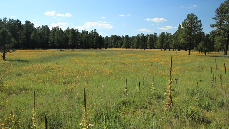
Turkey Run is an easy drive through a beautiful pine forest dotted with open meadows filled with wildflowers in late Summer and early Fall. The trail begins in the Fort Apache Tribal Lands near McNary and connects with County Road 3144 in the north. There is no camping along the trail, but numerous spur roads with dispersed camping opportunities exist. Do not leave the road in the tribal lands.
Updated: 02/17/2025
Little Round Mountain
Oak Creek Canyon, Arizona
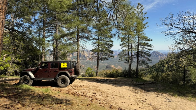
While Edge of the World is the most well-known camping spot in this area, the campsites at the end of Little Round Mountain Trail offer stunning views of the red rocks overlooking the Sedona area. There are limited campsites at the southern end of this trail. Two can accommodate 4-5 vehicles, and a third campsite is smaller, suitable for 1-2 vehicles.
The northern end of the trail, closest to Woody Mountain Road, is a designated dispersed camping corridor on both sides of the trail, authorized by the Forest Service. This means limited cross-country motor vehicle use is allowed within 300 feet of the trail's edge, specifically for dispersed camping. There are several larger sites at this end, each capable of accommodating 3-4 vehicles and up to 7-8 vehicles.
The trail from beginning to end is rated easy, but it can get closer to the moderate level due to a few hill climbs, drainage crossings, and potential mud. While high clearance and 4WD are not required in dry weather, they would certainly be advantageous.
Several side trail connections are worth exploring. Check out Rattlesnake Mesa and South Pocket Lookout for more adventure.
Updated: 10/15/2024
Charco Four
Vicksburg, Arizona
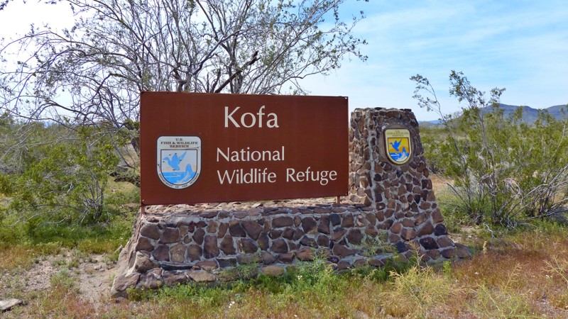
Though named for the well and windmill at its end, Charco Four is known mostly as an easy entrance into the remote, vast, and rugged Kofa National Wildlife Refuge. Charco Four begins at Exit 45 off Interstate 10. The exit is a good place to gas up and air down. Charco Four is graded but washboarded as it travels straight south. Just a bit over five miles, the road departs BLM land and enters the Refuge. There's an informative kiosk at the border. At eight miles, Charco Four intersects El Paso Pipeline Road which leads to many of the better Kofa trails. Going straight ahead takes you to an old corral. Today the well here is used to fill troughs for game water as a part of the Refuge's wildlife habitat program.
There are a few opportunities to camp along the road. However, excellent dispersed campsites are beyond plentiful in the Refuge.
Updated: 06/04/2024
Moore Creek
Payson, Arizona
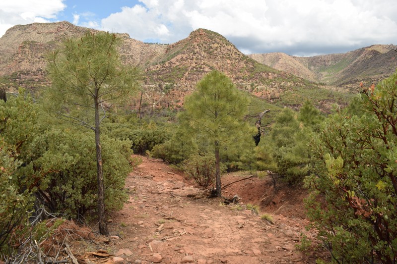
If backpacking and hiking in the pines sounds like a great time, then this would be the spot to start. This easy off-road trail leads to Highline Trail #31 which is a great hiking trail that runs along the Mogollon Rim for over 50 miles. Beautiful vistas of rim canyons, brushy hills, and distant mountains. Unique rock formations and wonderful stands of Ponderosa pine. Fire is an important aspect of the wild environment. The Dude Fire of 1990 burned portions of the forest along the Highline Trail; thus, this trail is an ideal place to observe how our forests rejuvenate themselves after a fire. The Highline Trail, established in 1870, was used to travel between homesteads and to attend school in the town of Pine. Zane Grey and Babe Haught used the Highline Trail while hunting. The portion of the Highline Trail from Washington Park Trailhead and Pine Trailhead is part of the Arizona Trail.
Updated: 05/31/2024
Highline Access
Payson, Arizona
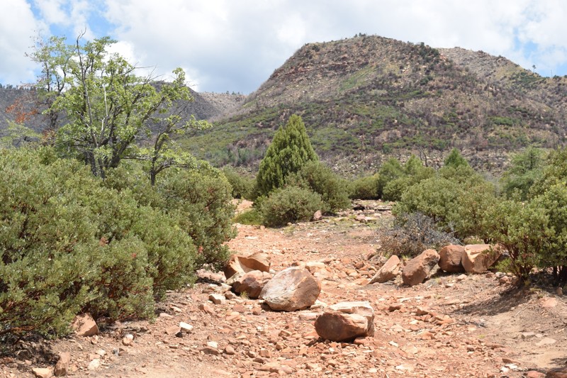
If camping and exploring trails with your 4x4 in the pines sounds like a great time, then this would be the spot to start. Camping in this area makes a great starting point for exploring the Arizona Mogollon Rim country near Payson, Arizona. The trail is easily accessible from FR64, Control Road and located near the East Verde Creek at Verde Glen. All within an easy trail ride from camp, you can hunt geodes at Brody Hill, rock crawl Pyeatt Draw or go for a hike on the Highline Trail #31. The trail has many beautiful dispersed campsites along the way, the one at the end is below the Mogollon Rim, allowing access to the Highline Hiking Trail.
Updated: 06/04/2024
FR 593 Aqua Fria
Black Canyon City, Arizona
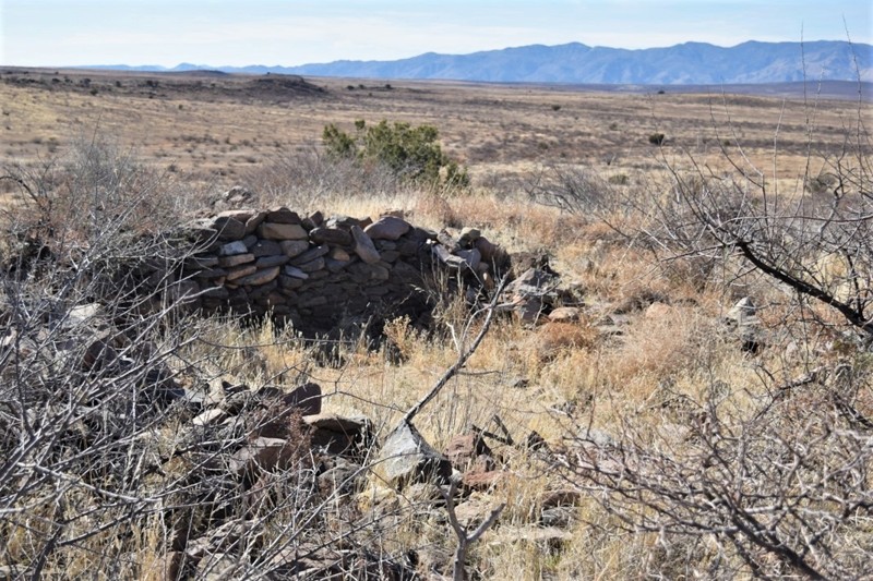
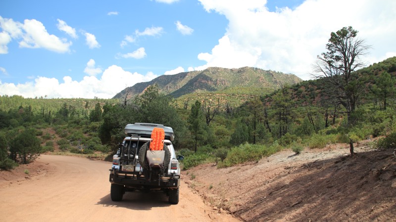
Aqua Fria National Monument has numerous well-preserved ruin sites however, some of the most accessible sites for 4x4's are in the nearby Tonto National Forest. FR593 is one of the easiest trails offering two naturally preserved Native American ruin sites right along the side of the trail. The stone structure network, is all that is left of what was once a substantial agrarian community. This semi-desert region just an hour north of Phoenix, offers one of the most significant systems of prehistoric sites in the American Southwest.
The area is large, give yourself the entire day to explore this unique part of the southwest. The numerous trails in the region offer countless points to walk among the ruins and search the nearby rocks for petroglyphs. There are hundreds of examples of this ancient art work spread throughout the monument region. Look along cliffs or even on stray rocks in the meadows. Please do not disturb or alter these precious artifacts to ensure they remain for generations to come.
Updated: 10/15/2024
Roberts Mesa
Kohls Ranch, Arizona
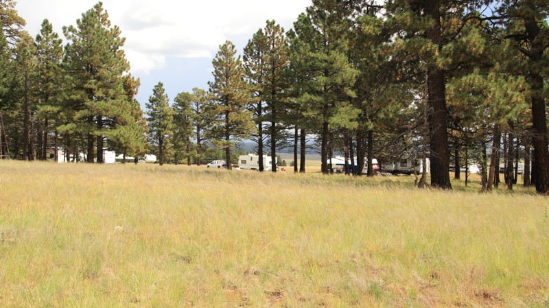
Set in the vast Tonto National Forest, Roberts Mesa connects Control Road with Tonto Creek Road. The trail is peppered with lots of roadside dispersed campsites. The roadbed on the east end of the trail has plenty of embedded rock. The west end is nicely graded since it leads to a community of summer homes. The skyline often offers nice views of the Mogollon Rim to the north and the rugged Mazatzal Mountains to the southeast.
Updated: 08/20/2025
Pool Corral
Greer, Arizona
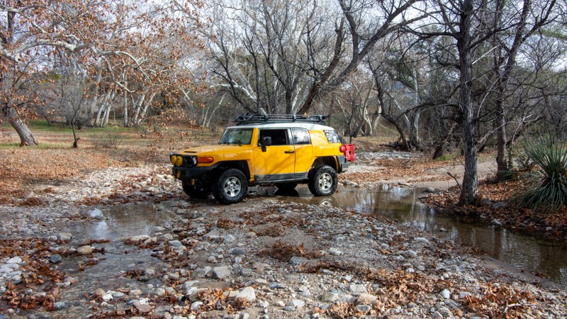
Pool Corral could well be called Camper's Alley. The southwestern three miles of the trail become a popular camping village on summer weekends. Campsites set in pines and aspens abound roadside and off every small spur. Beyond Camper's Alley, the road becomes narrower and more interesting as it crosses alpine meadows dotted with numerous cinder cone knolls. The lonely trail offers great views and a feeling of solitude. There are a scattering of campsites along the trail, with several more near the intersection with Highway 261 on the northern end.
Updated: 10/15/2024
Turkey Creek Springs
Cascabel, Arizona
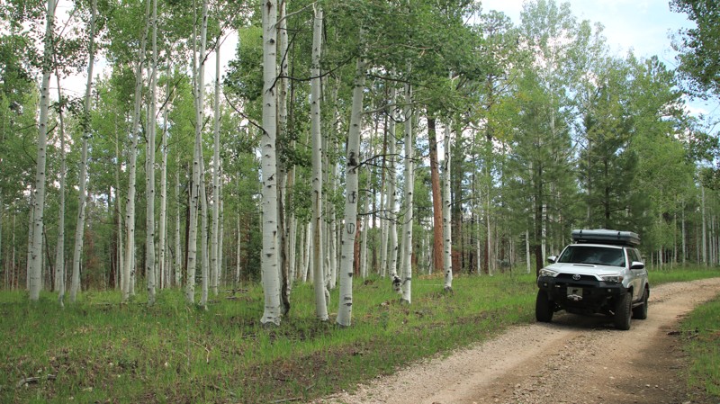
Turkey Creek Springs leads to a hiking trailhead in the Rincon Mountains trailhead that serves the Manning Camp and the Arizona Trails. Near the beginning of the trail are a few world-class camping spots in a grove of whitebark sycamore trees. A big mud hole just at the start of the trail will deter most of the larger camping vehicles. But it's perfect for offroad rigs, tents, and small overland trailers. The most challenging portion of the trail is a very steep hill with loose scree that will require 4WD and maybe even 4LO.
Updated: 10/15/2024
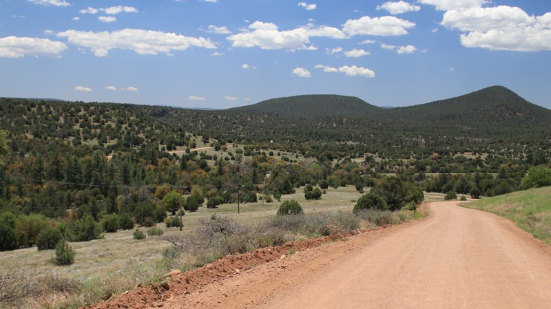
FR 268
North Rim, Arizona
FR 268 passes through a beautiful forest before reaching an ignominious end. The trail parallels the Kaibab National Forest and Grand Canyon National Park boundaries. Summer monsoon storms will cause mudholes and ruts, but the road surface is hard. Be prepared to clear downed trees. Camping is not permitted along the trail by either the Forest Sevice or the National Park.
Updated: 10/15/2024
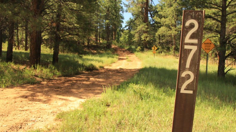
FR 272
Ryan, Arizona
FR 272 passes through a park-like pine and aspen forest. Two miles on the trail's western end is steep with loose rock and ledges. There are a few dispersed campsites along the trail and plenty more along the numerous spur trails.
Updated: 10/15/2024
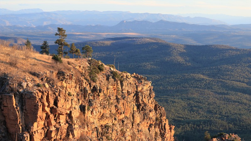
Chamberlain Trail
Haigler Creek, Arizona
Chamberlain Trail runs from just below the Mogollon Rim in the north to Pleasant Valley in the south, descending nearly a thousand feet. The Ponderosa pines give way to juniper and scrub oak. The well-maintained dirt road has washboarding throughout. Near Fisherman Point, the trail is a narrow shelf road with blind hairpin turns. The shelf road section provides excellent views into Haigler Canyon. Near the southern end, the trail enters the parklike Pleasant Valley with broad grassy meadows dotted with junipers. A couple of miles from the southern end, look for a sign marking the grave of a Navajo herder killed during the Pleasant Valley War, a deadly 10-year battle between the two rival groups of area ranchers.
There is very little dispersed camping along the trail. The best camping is the free Haigler Canyon Campground on the banks of Haigler Creek. The campground has approximately a dozen sites suitable for one to two vehicles. Tent camping is also possible. There are picnic tables, fire pits with grills, and vault toilets. A nearby picnic area serves those just wanting to stop and play in the gurgling creek.
Updated: 06/05/2022
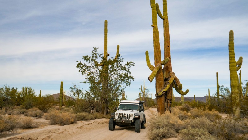
Kehl Ridge
Payson, Arizona
Kehl Ridge is a wonderfully winding little road that connects Rim Road, possibly the most scenic trail in central Arizona, with FR 147. Near the intersection with Rim Road, campsites on the edge of the Mogollon Rim offer panoramic views of a large portion of central Arizona. Coursing through old-growth Ponderosa Pine forests, Kehl Ridge crosses some small fern-bottomed draws that drain into East Clear Creek.
When combined with FR 147, Kehl Ridge offers visitors from the north smooth and easy access to the dramatic heart of the Mogollon Rim. Accessing beauty and remoteness need not be difficult or uncomfortable. As George W. Sears, under the pen name Nessmuck, wrote in his 1884 book Woodcraft, "During the long winters, they (tourists) are prone to collect in little knots and talk much of camps, fishing, hunting, and roughing it. I dislike the phrase. We do not go to the green woods and crystal waters to rough it, we go to smooth it. We get it rough enough at home, in towns and cities." Smooth it on out to the Rim Country on Kehl Ridge.
Updated: 09/10/2026
Puerto Blanco Road (South)
El Papalote, Arizona
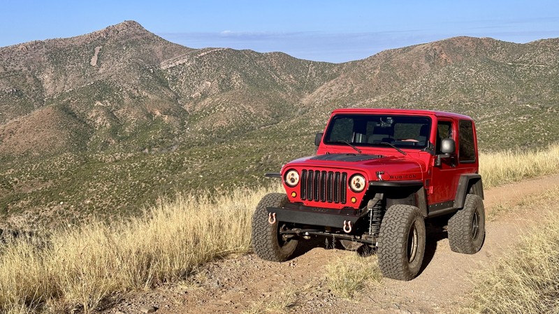
Puerto Blanco Road lies along the U.S. and Mexico border, a maintained road within Organ Pipe Cactus National Monument. It is an excellent trail for beginners to get their feet wet with off-road driving. Along the way, you will experience cacti of all shapes and sizes and a brief detour down to the border wall to visit Quitobaquito Springs, a naturally flowing spring providing water to the fauna of this area. Any AWD or stock 4WD vehicle will have no problems with this trail. There is no camping along this road as you are in OPCNM. Due to the proximity to the border of Mexico, it's not uncommon to see Border Patrol. If you run this trail clockwise, you will have to return the way you came as Puerto Blanco Road (north) is one-way only, so if you want the whole experience of Puerto Blanco Road (both north and south), make sure you run it counter-clockwise!
Updated: 07/08/2026
Pioneer Pass
El Capitan, Arizona
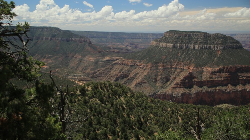
Forest Road 112 branches off Doak Road (Forest Road 221) as it climbs out of a steep wash. The road continues to hug the mountainside and behave like a rocky rollercoaster, where 4WD and low range are recommended. After reaching a high point, the Signal Peak radio towers become visible to the north and the Pioneer Basin to the south. You'll also see the road in the distance as you cruise through the high desert landscape. Once you reach a saddle called Pioneer Pass, the road descends through tall pines. From here, the road is well-maintained and passes through the Pioneer Pass Recreation Area, which features campsites that include restrooms, picnic tables, and fire rings, but no water. The road ends at Ice House Canyon Road and continues into the town of Globe.
Updated: 10/15/2024
Fence Point
North Rim, Arizona
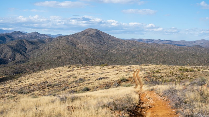
Fence Point is an easy drive to a nice viewpoint. The best views require a short walk. There are two small walk-in campsites at the point. The point also serves as a hiking trailhead for the Rainbow Rim Trail.
Updated: 10/15/2024
Sheep Gulch Spring
Bumble Bee, Arizona
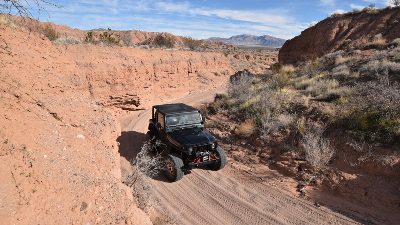
Sheep Gulch Spring, BC1108, once connected Crown King Road to Interstate 17. However, in a 2022 Travel Management Decision, the road was split in half, designating the eastern portion for Administrative Use Only. The trail now is an out-and-back starting at Crown King Road, just south of Bumble Bee Ranch. The trail is one vehicle wide and climbs steeply up to the top of the mesa dotted with many large prickly pear cacti and grazing cattle. The road is rocky and rough and requires low range. The trail has minimal pull-out opportunities. There is excellent visibility to see oncoming traffic, so you would have a lot of time to find a place if you see a vehicle in the distance. At the top of the mesa is a cattle gate marking the turnaround point. Return the way you came.
This trail does not offer any campsites.
Sheep Gulch Spring is suitable for any high clearance 4-wheel drive with low-range gearing.
Updated: 06/05/2022
Sandy Banks
Mesquite, Arizona
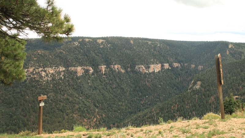
Located within the Arizona Strip region of northwest Arizona, there is a very unique canyon that winds its way through narrow and vertical sand cliffs. Sandy Banks is one of the more challenging ways to reach the Three Corners Monument which marks the meeting point for the Arizona, Nevada and Utah state lines. The trail offers some mild challenges for stock type off-road vehicles while making you hold your breath, hoping the walls won't come crashing down. The trail starts off as a wide sandy wash before it quickly becomes very narrow, with walls as tall as 50 feet above your head. You'll wind your way through the sandy cliffs, up and over dirt mounds before coming out to the flat desert at the end. Be prepared for this one because it changes after every rainstorm.
Updated: 10/15/2024
East Rim Ridge
North Rim, Arizona
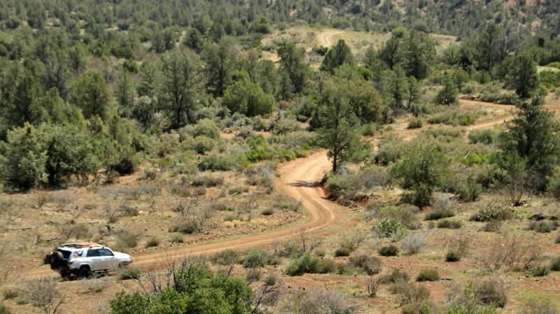
East Rim Ridge begins on Highway 67 and runs eastward atop the Kaibab Plateau. Aspen trees line the sides of the well-maintained road and, in Fall, provide the illusion of traveling through a golden tunnel. The East Point Lookout has good views at the end of its 200-yard paved walking path. There are picnic tables to enjoy the amazing view eastward. There's also a vault toilet in the parking lot. The real draw of this road is the campsites scattered along the ridgeline with fantastic views of the Vermillion Cliffs and Navajo Mountain out in the distance. While camping is plentiful, there is no camping a half mile on either side of the East Point Lookout.
Updated: 06/05/2022
FR 1548
Payson, Arizona
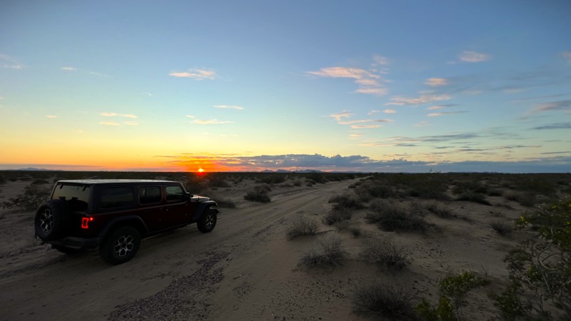
Some of my favorite confections are crunchy on the outside and pretty smooth on the inside. FR 1548 is a lot like that. The southern end is very tight with overgrown brush, and almost immediately, there's a rocky wash crossing. It's an inauspicious start. But then this little trail climbs up onto a narrow ridge with sweet views all around. The rugged and impenetrable Mazatzal Mountains loom on the western horizon. Mount Ord dominates the southern skyline. Below is the relatively lush chaparral country common to the Tonto National Forest. Succulent agaves grow next to pinion pines and the ever-present cedars. Century plants shoot skyward. Gold Hill sits roadside, while Table Mountain is easy to recognize to the north. Of course, the crunchy ending comes via a narrow shelf road and off-camber erosion that keeps things interesting. Just the way we like it!
Updated: 05/01/2026
Sears Point
Stanwix, Arizona
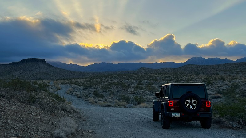
The road to the Sears Point petroglyph site is signed Avenue 76 East. It crosses Arizona State Trust Land and private property and finishes on BLM land. The trail is a mix of packed dirt, gravel, and sand. High clearance is needed to get through the rocky areas and drop-offs. 4WD is recommended for the deep sandy sections. There was one primary camp spot with a rock fire ring, and other space is available closer to the Sears Point trailhead.
Updated: 09/18/2026
Black Joe Mine Trail
Willow Beach, Arizona
The Black Joe Mine Trail runs north of US 93. It falls within the Lake Mead National Recreation Area. There is no fee or permit needed to run this trail. This trail runs towards the mountains and offers sweeping views of the valley below towards the Colorado River.
Several camping spots can hold several vehicles. All have rock fire rings and have nice views of the valley below.

Upgrade your Membership
Unlock all of the details on every Trail Guide and Scout Route.
Start a 7-day Free TrialBrowse Trails in Arizona by City
Browse every Arizona city with offroad trail guides.
Community
Partners

