



By clicking "ACCEPT", you agree to be the terms and conditions of each policy linked to above. You also agree to the storing of cookies on your device to facilitate the operation and functionality of our site, enhance and customize your user experience, and to analyze how our site is used.
Missouri Off-Road Trails
4
Total Trail Guides 1

35
Detailed Waypoints 74
Try a Free 7-Day Trial and unlock it all
Start a Free Trial Most Recent Trail Reviews
No Rating
Open
Visited: 08/11/2026
Per the MVUM, the trail is seasonally open. As always, check current fire restrictions/closures before venturing out.


Trails Offroad
Official Crew
Open
Visited: 08/11/2026
Per the MVUM, the trail is seasonally open. As always, check current fire restrictions/closures before venturing out.
Trails Offroad
Official Crew
Open
Visited: 08/11/2026
Per the MVUM, the trail is seasonally open. As always, check current fire restrictions/closures before venturing out.
Trails Offroad
Official Crew
Rated 3/5
Open
Visited: 06/26/2026
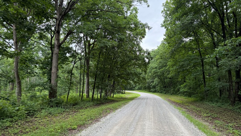
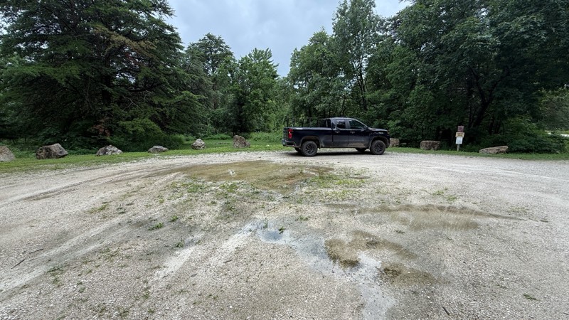
Tower road was an uneventful drive through the forest. The camping areas vary in size from 1-2 vehicles all the way to a large group site and are easily accessible by pretty much any vehicle. Most of ...

Shayne Danielson
Official Crew
Rated 4/5
Open
Visited: 06/26/2026
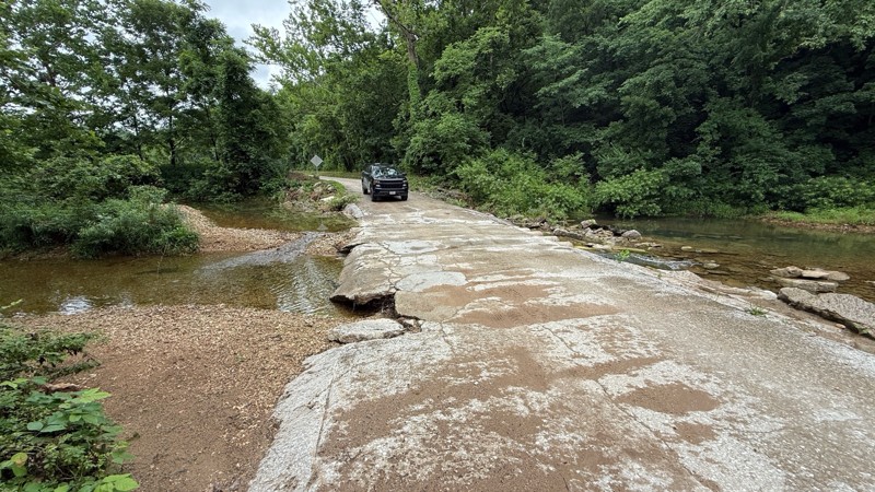
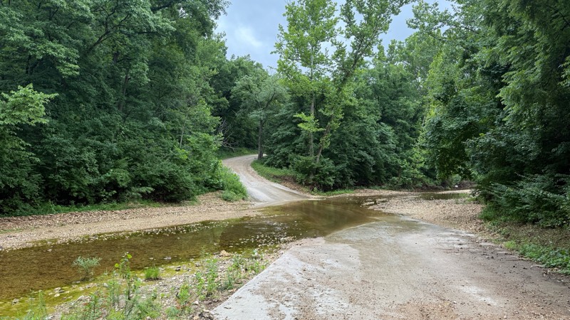
The trail is not demanding at all. I was expecting higher water levels after the area received quite a bit of rain within the last 24 hours. As you can see by the photos, all of the creek crossings we...
Shayne Danielson
Official Crew
Rated 3/5
Open
Visited: 06/26/2026
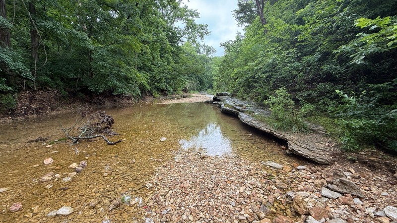
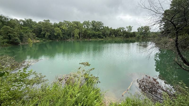
The road itself is a simple gravel road to to drive. The creek bottom has a nice area to have lunch and hike the Lizard Rock Nature Trail and check out the north fork of Charrette creek. Walking in th...
Shayne Danielson
Official Crew
Open
Visited: 06/26/2026
According to MVUM data, this trail should be open for the season.
Trails Offroad
Official Crew
Rated 5/5
Open
Visited: 06/06/2026
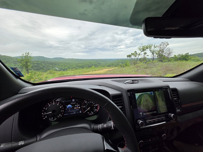
75% of this trail is pretty and difficult-ish but more just bumpy/rocky than anything and not too bad, but the creek bed/bottoms section (north half of west side of map) is TIGHT, my frontier felt hug...

Sean Allen
Open
Visited: 05/22/2026
Busy in the campgrounds but the park is big enough that the trail did not to feel crowded. A nice drive with a couple shelf obstacles. Rained the night before so lots of water. Tree fell in the night ...
TR
Tim Ritchie
Rated 4/5
Open
Visited: 05/16/2026
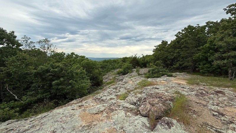
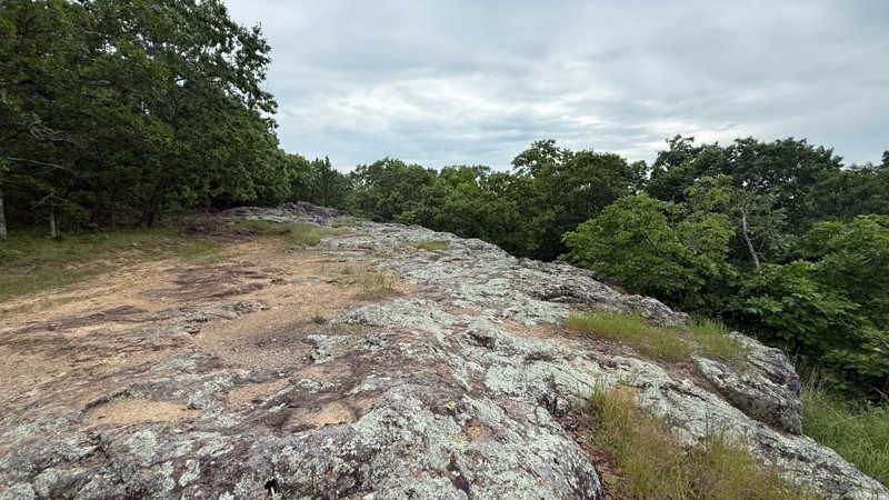
The trail no longer is moderate in difficulty level. Any 2wd vehicle can make it to the top since there are no ruts, puddle holes or any other obstacles. The last part at the top is now blocked off wi...
Shayne Danielson
Official Crew
No Rating
Seasonal Closure
Visited: 03/31/2026
According to this trails management agency, the trail is likely closed for the season.
You can reach out to the agency for more details.
Be sure to leave us a report and let us know ...
Trails Offroad
Official Crew
Rated 5/5
Open
Visited: 03/29/2026
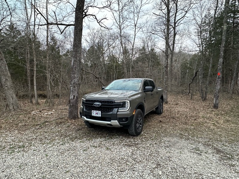
Gravel road that is fairly well maintained, lots of great camping as well as miles of hiking trails. Natural Bridge is easily walked to and a nice side quest to stretch the legs a bit. Large area to p...
A
Adam
Rated 5/5
Open
Visited: 03/19/2026
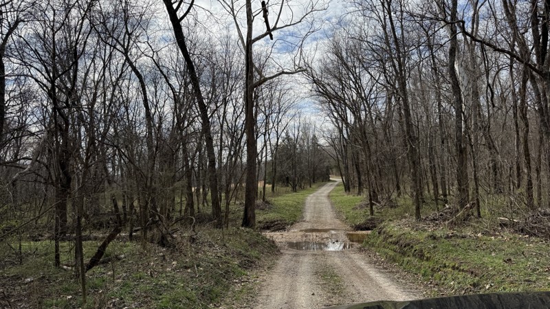
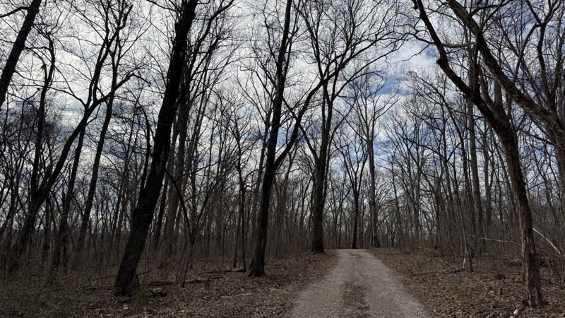
Riverview provides the best camping option in the area! Because of this, I can see it being a popular location. Unfortunately, I was not able to get good photos of the gravel bar since it was occupied...
Shayne Danielson
Official Crew
Rated 4/5
Open
Visited: 03/19/2026
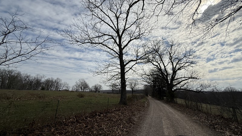
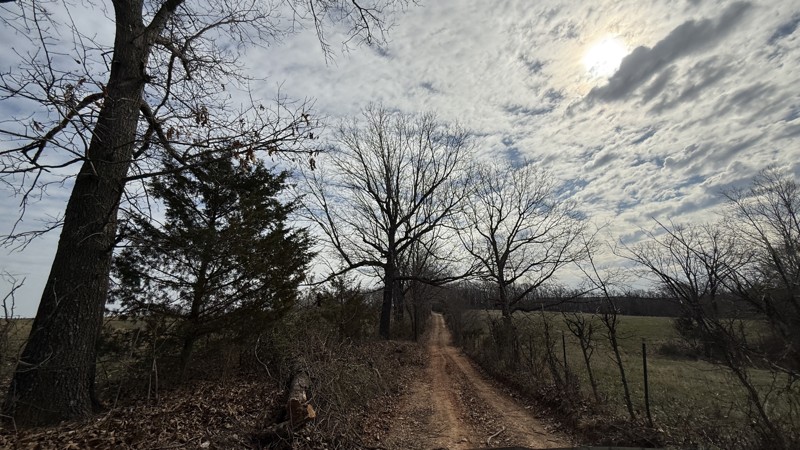
This trail is pretty simple and straight forward. While the campsite is large and flat, I would consider it to be a back up to the large gravel bar located on the the connecting FSR Riverview just sou...
Shayne Danielson
Official Crew
Rated 4/5
Open
Visited: 03/19/2026
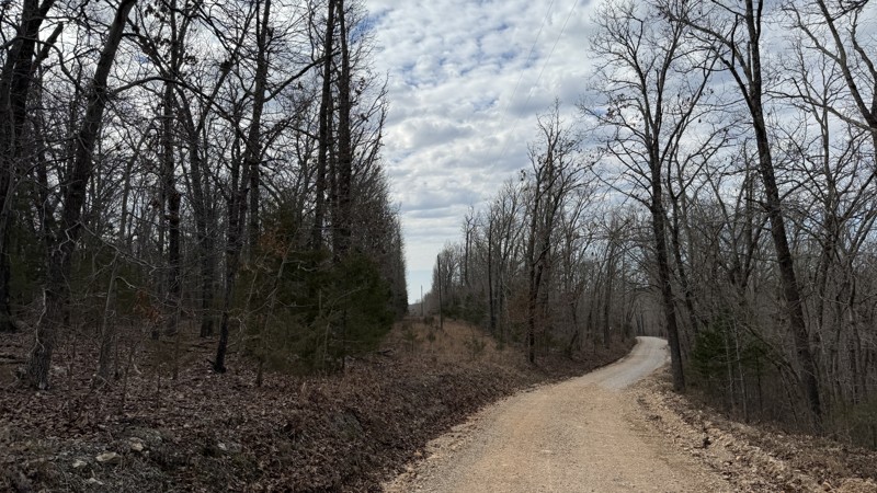
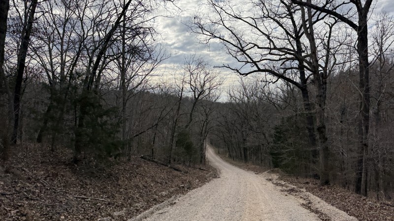
The trail itself is not difficult at all. Aside from some gravel bottomed water puddles, it is not a challenge. The campsites are uneven so it could be a challenge getting level depending on the spot ...
Shayne Danielson
Official Crew
Open
Visited: 03/18/2026
According to Smorr.net, the park is open to the public from Friday through Sunday.

Todd
Official Crew
Rated 4/5
Open
Visited: 03/17/2026
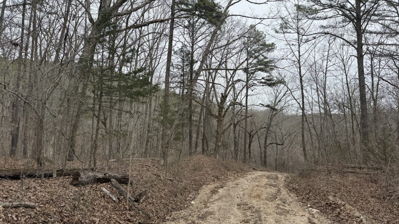
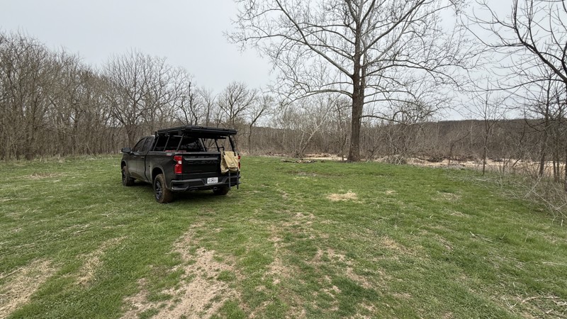
While the trail is short, it does have a large camping area right next to the river. Depending on how much rain the area has had, the mud area at the bottom might not be passable. The only access to t...
Shayne Danielson
Official Crew
Rated 5/5
Open
Visited: 03/17/2026
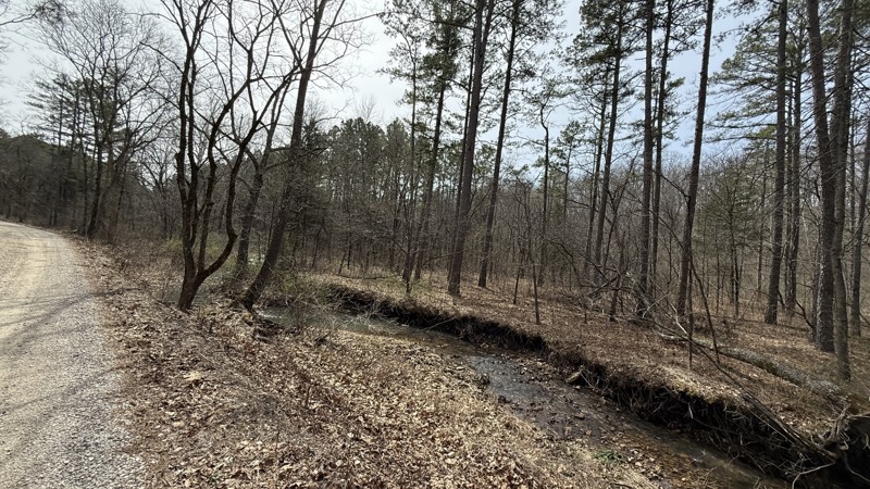
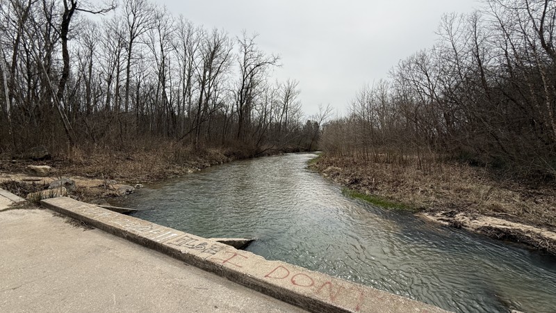
Kaintuck Hollow is a neat area! I am glad I checked out the area. The arch is more like a short through cave that you can hike through. Water was flowing through it when I visited. It has a few tight ...
Shayne Danielson
Official Crew
Rated 4/5
Open
Visited: 03/17/2026
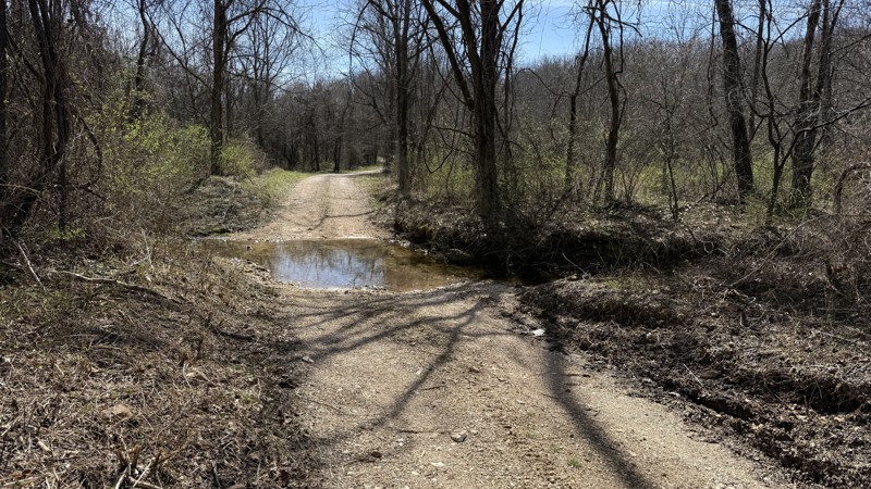
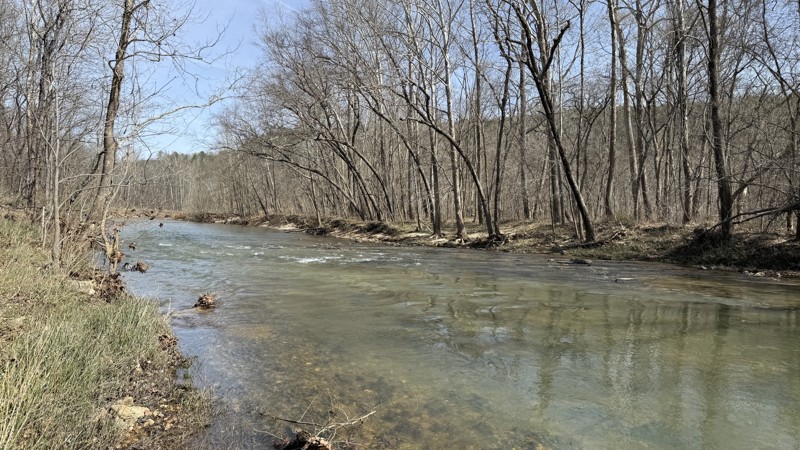
This is an easy trail providing two large waterside camping options. At the time of this review, I would consider the trail to be out and back because 1735A on the southern end was blocked by a signif...
Shayne Danielson
Official Crew
Rated 5/5
Open
Visited: 02/08/2026
For an easy drive, this one was a lot of fun. Nice crossings that got some water up on the hood, and a few spots where you could go through the stream for some extra fun. Nice views and plenty of wild...
MC
Mark Croke
Rated 4/5
Open
Visited: 02/08/2026
Nice ride for a family in the morning. No difficulties on the trail at all. Even with a lot of snowmelt over the past couple of days, the creek was low, and there were only a few splashes at the cross...
MC
Mark Croke
Seasonal Closure
Visited: 12/01/2025
According to this trails management agency, the trail is likely closed for the season.
You can reach out to the agency for more details.
Be sure to leave us a report and let us know ...
Trails Offroad
Official Crew
Seasonal Closure
Visited: 12/01/2025
According to this trails management agency, the trail is likely closed for the season.
You can reach out to the agency for more details.
Be sure to leave us a report and let us know ...
Trails Offroad
Official Crew
Seasonal Closure
Visited: 12/01/2025
According to this trails management agency, the trail is likely closed for the season.
You can reach out to the agency for more details.
Be sure to leave us a report and let us know ...
Trails Offroad
Official Crew
Seasonal Closure
Visited: 12/01/2025
According to this trails management agency, the trail is likely closed for the season.
You can reach out to the agency for more details.
Be sure to leave us a report and let us know ...
Trails Offroad
Official Crew
Seasonal Closure
Visited: 12/01/2025
According to this trails management agency, the trail is likely closed for the season.
You can reach out to the agency for more details.
Be sure to leave us a report and let us know ...
Trails Offroad
Official Crew
Open
Visited: 11/04/2025
The Guard Rail trails starts close the to main office and immediately presents the driver with a steep down grade to reach the creek bed. Correct tire placement is required on two off camber ledges a...

Richard Wooden
Open
Visited: 11/04/2025
This week, we ran Pee Wee’s Crossing long trail running over dirt and rocks or directly through a creek bed. This fall was dry, so the creek was not an issue, and the tree canopy has a range of fall c...
Richard Wooden
Rated 3/5
Open
Visited: 10/04/2025
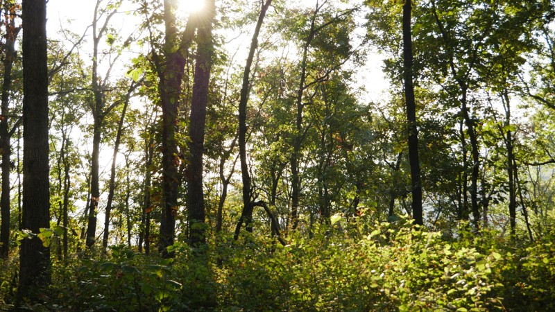
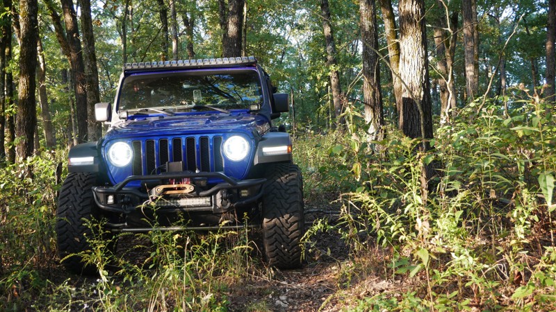
1050 Mountain Maid Road is one of those quiet little gems tucked south of Roaring River State Park, nothing extreme, but full of that Ozark charm. The drive itself is easygoing, but you’ll definitely ...

Brent
Official Crew
Rated 5/5
Open
Visited: 10/04/2025
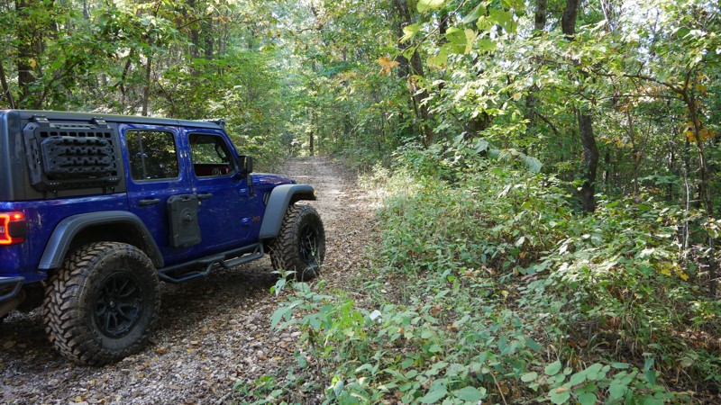
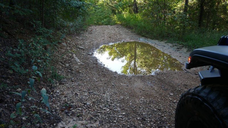
The highlight of the trail is the Radium Springs Well, where remnants of the old stone structure still stand hidden among the trees. It’s an atmospheric spot that connects today’s explorers with a for...
Brent
Official Crew
Rated 5/5
Open
Visited: 10/04/2025
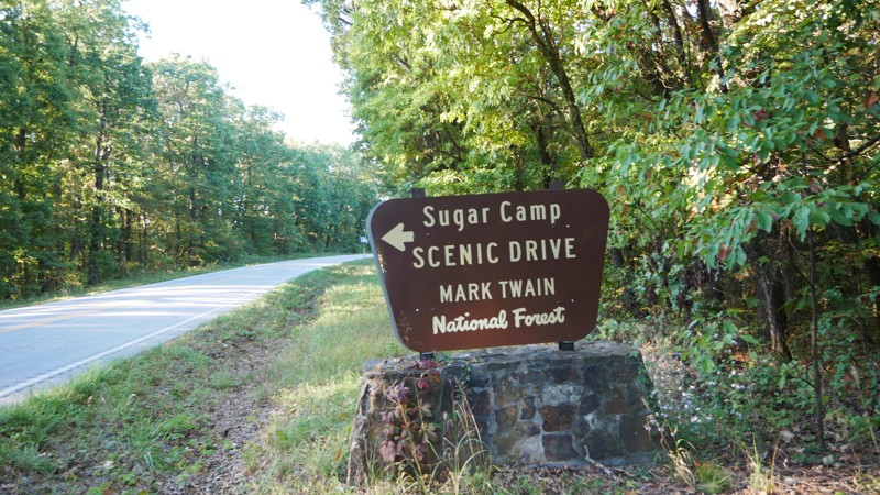
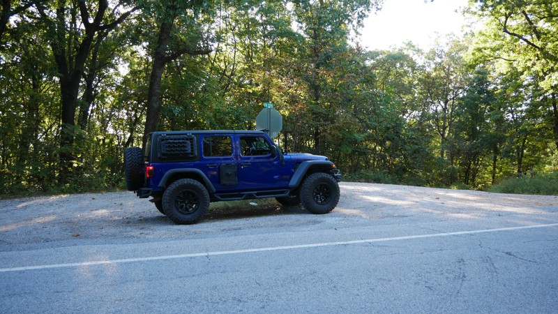
If you’re looking for a relaxed, scenic drive through the Ozarks that still leaves room for exploration, Sugar Camp Scenic Byway delivers. Tucked just south of Roaring River State Park, this gravel ro...
Brent
Official Crew
No Rating
Open
Visited: 05/16/2025
According to this trails management agency, the trail is likely open for the season.
You can reach out to the agency for more details.
Be sure to leave us a report and let us know if...
Trails Offroad
Official Crew
No Rating
Seasonal Closure
Visited: 03/31/2025
According to this trails management agency, the trail is likely closed for the season.
You can reach out to the agency for more details.
Be sure to leave us a report and let us know ...
Trails Offroad
Official Crew
Open
Visited: 03/31/2025
According to this trails management agency, the trail is likely open for the season.
You can reach out to the agency for more details.
Be sure to leave us a report and let us know if...
Trails Offroad
Official Crew
Open
Visited: 03/31/2025
According to this trails management agency, the trail is likely open for the season.
You can reach out to the agency for more details.
Be sure to leave us a report and let us know if...
Trails Offroad
Official Crew
Open
Visited: 03/31/2025
According to this trails management agency, the trail is likely open for the season.
You can reach out to the agency for more details.
Be sure to leave us a report and let us know if...
Trails Offroad
Official Crew
Open
Visited: 03/31/2025
According to this trails management agency, the trail is likely open for the season.
You can reach out to the agency for more details.
Be sure to leave us a report and let us know if...
Trails Offroad
Official Crew
Rated 5/5
Open
Visited: 03/26/2025
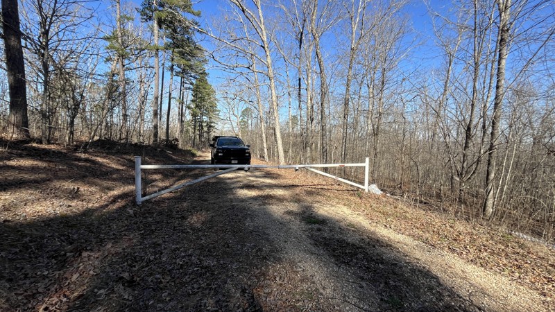
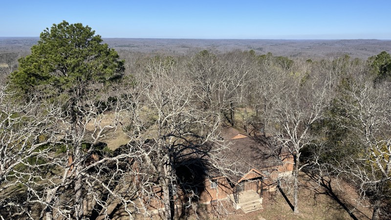
If you are in the area, this is a great place to visit! The views are amazing making it worth the time to check out. There were a few spots with downed trees and tree branches that had been cleared al...
Shayne Danielson
Official Crew
Rated 4/5
Open
Visited: 03/25/2025
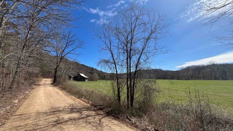
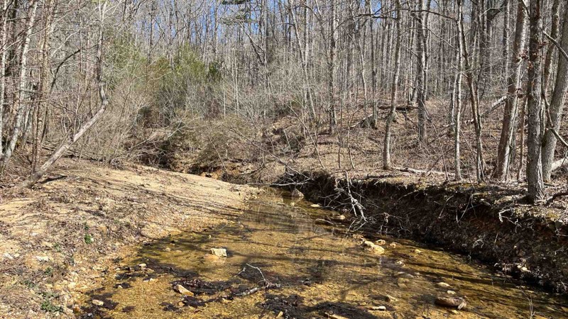
I did a patrol of the trail and took a few more photos. It was an easy drive and all the water crossings were uneventful because the water levels were pretty low.
Shayne Danielson
Official Crew
Rated 5/5
Open
Visited: 03/25/2025
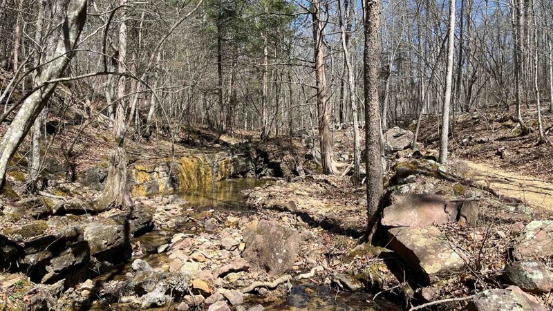
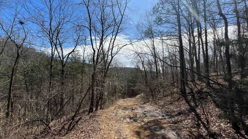
I did a patrol of P-235 to check the conditions of the trail and to add some photos of Colwil Lake. The water crossing at Blair Creek was 12” deep and had plenty of loose rock. This is where you will ...
Shayne Danielson
Official Crew
Rated 3/5
Open
Visited: 03/25/2025
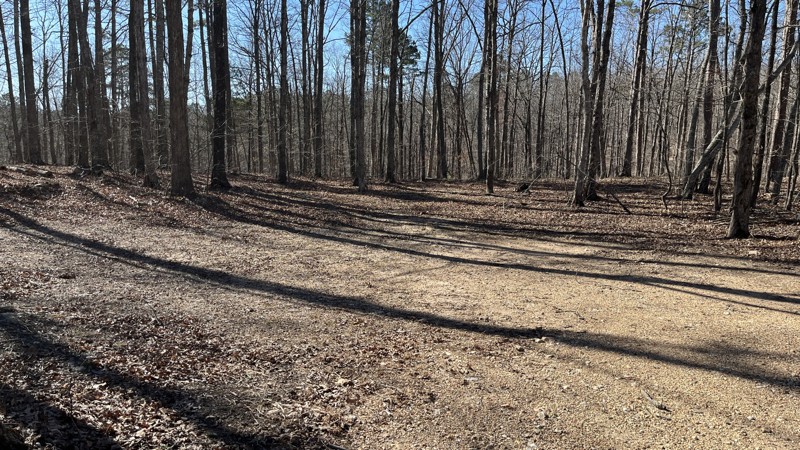
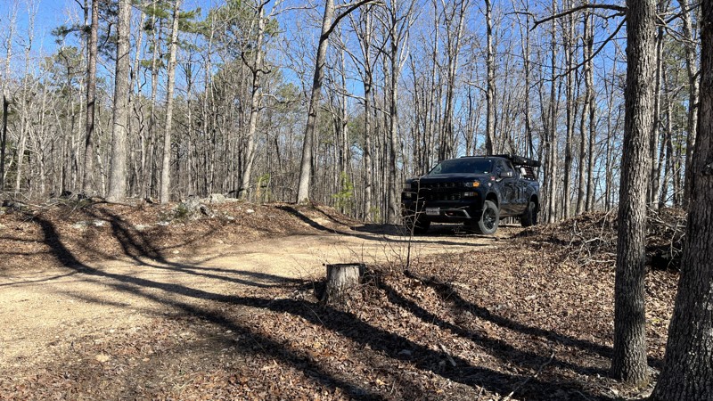
If you are looking for a good forest drive, this is the trail for you. Glimpses of the valley below with the Current River and Big Creek can be seen through the trees in places. There has been a decen...
Shayne Danielson
Official Crew
Rated 5/5
Open
Visited: 03/25/2025
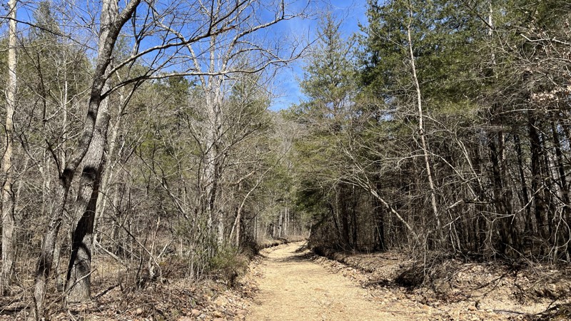
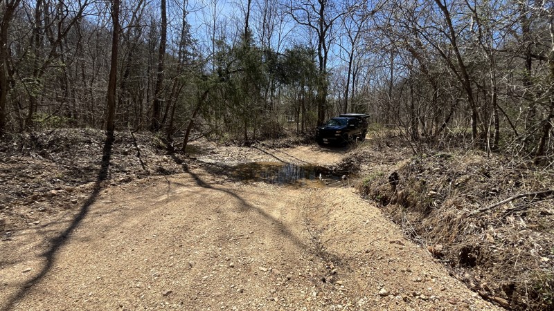
I enjoyed the trail for sure with the best parts being the water crossings in the valley. There hasn't been much rain lately which made the water crossings uneventful. If there has been a good amount ...
Shayne Danielson
Official Crew
Rated 5/5
Open
Visited: 03/25/2025
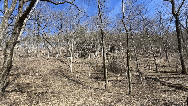
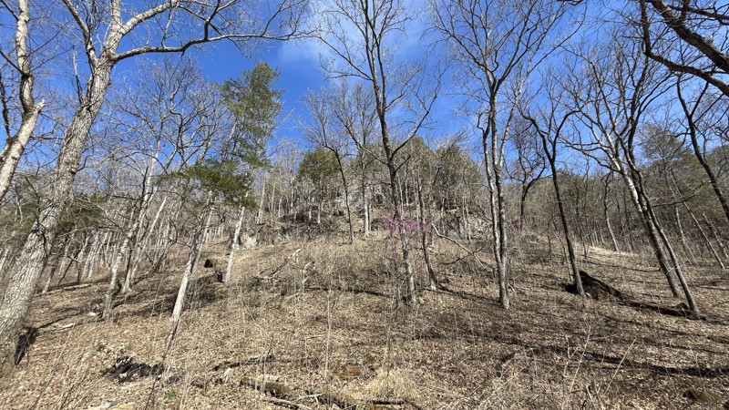
Blue Spring did not disappoint! The signs stating steep grade were absolutely correct. The cliffs were an unexpected highlight along the drive. The walking trail to get to Blue Spring is short with so...
Shayne Danielson
Official Crew
Open
Visited: 03/07/2025
Park is open for the season.


Ryan Boudreau
Official Crew
Open
Visited: 03/07/2025
Park is open for the season.
Ryan Boudreau
Official Crew
Open
Visited: 03/07/2025
Park is open for the season.
Ryan Boudreau
Official Crew
Open
Visited: 03/07/2025
Park is open for the season.
Ryan Boudreau
Official Crew
Open
Visited: 03/07/2025
Park is open for the season.

Ryan Boudreau
Official Crew
Open
Visited: 03/07/2025
Park is open for the season.
Ryan Boudreau
Official Crew
Most Popular

Updated: 10/15/2024
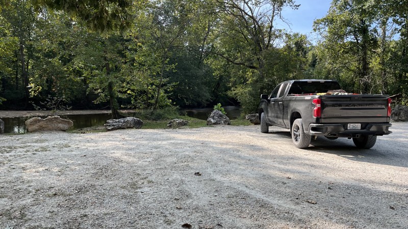
FS Road 23
Butts, Missouri
FR23 is located within the Huzzah Conservation Area and offers great access to Courtois Creek. While the trail is short, it offers a shooting range, camping, and water access. The trail itself is a wide gravel road that offers an easy drive. Nearby is Huzzah Creek and Meramec River, along with the Scotia Furnace and Ironworks that produced pig iron from 1870-1880. Also close by is Onondaga Cave State Park, which has two caves to visit. The trail and surrounding area are not far from I-44, making it easy to get to. If you are in the area, it is worth the time to check it out!
Updated: 10/15/2024
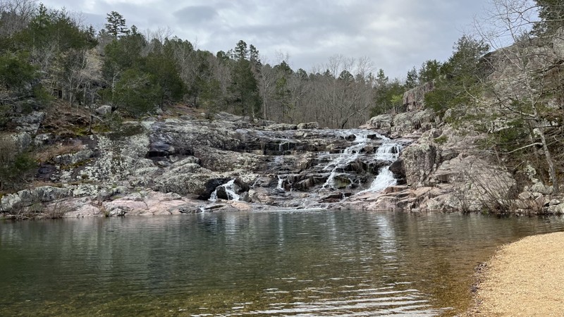
CR NN-526
Owls Bend, Missouri
County Road NN-526 is a short, easy trail partially in the Ozark National Scenic Riverways, and part of it traverses alongside private property. There are a few water crossings, so depending on the time of year, the water levels may increase the difficulty rating. The primary point of interest is Rocky Falls, which is on the trail's eastern end. A large parking area, grills, picnic tables, and toilets are a short distance from the falls. Hiking around the falls provides excellent views of the full scale of the falls. This is a must-see if you are traveling in the area.
Updated: 10/15/2024
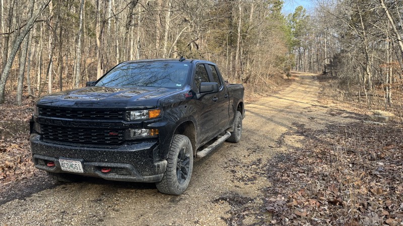
Shremp Road
Womack, Missouri
Shremp Road in the Mark Twain National Forest is a short, out-and-back trail. Upon coming down from the ridge line to the creek, there is a large campsite where several rigs can have plenty of room to set up. The trail continues up a finger valley to a small turnaround. The easy trail is mostly gravel with short, rocky, muddy sections.
Updated: 10/15/2024
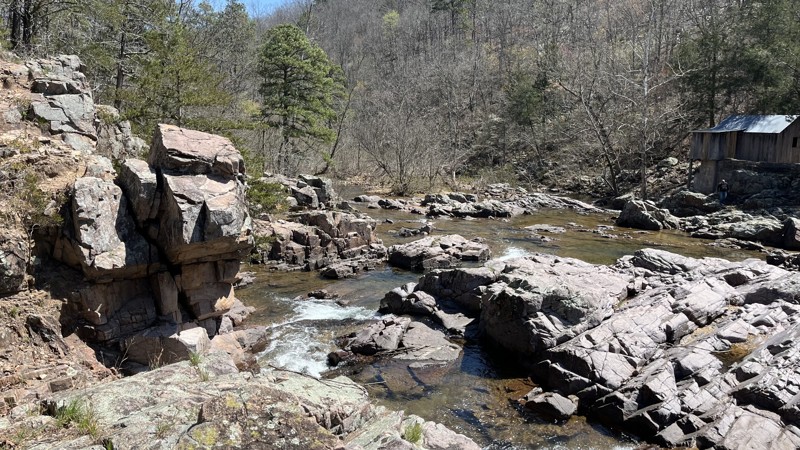
CR NN-522
Owls Bend, Missouri
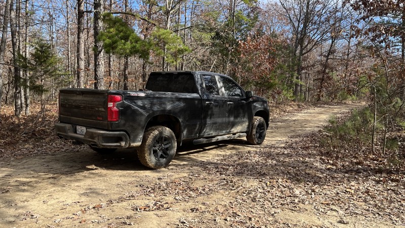
County Road NN-522 may be short at 3.4 miles, but it offers a good time wandering through a valley within the Ozark National Scenic Riverways area. The Current River Section of the famed hiking trail, the Ozark Trail, crosses the road at Klepzig Mill. There are water crossings, the deepest one being at Rocky Creek. Depending on the water season, the crossing might be more difficult with higher water levels. Klepzig Mill sits directly next to Rocky Creek, which lives up to its name. There are two buildings to check out, remnants of a dam, and a sign giving a short history of the mill. Hiking on the rocks offers an excellent opportunity to check out the waterfall and get good views of the area. Multiple fields on either side of the road have closed gates.
Updated: 10/15/2024
CR 236
Owls Bend, Missouri
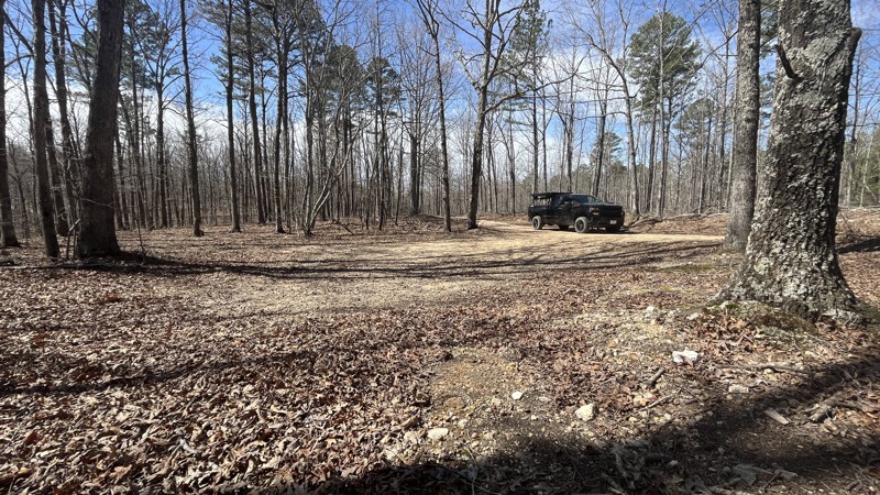
CR 236 is an easy connector trail between the eastern and western halves of the Roger Pryor Pioneer Back Country area. There is one small creek crossing in the valley, and depending on the direction of travel, there is a good descent/ascent into or out of the valley. Campsites are located on the top of the ridge line.
Updated: 04/01/2025
CR 250-C
Sinkin, Missouri
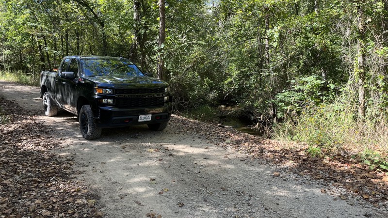
County Road 250-C is an out-and-back trail offering a long ridge line drive before dead-ending just above the Current River. Most of the road is within the Roger Pryor Pioneer Backcountry, while the last three-quarters of a mile enters the Ozark National Scenic Riverways. Williams cemetery is located at the trail's end, and its dates range from the 1800s through the 1940s. There is no vehicle access to the Current River. The road is generally golf ball-sized gravel, although a few locations have softball-sized rocks.
The dense forest makes it challenging to see the valleys on either side of the trail. Beware of downed trees and tree branches. Clearings from logging activities in places offer dispersed camping opportunities. While there are a number of side trails, signs prohibiting further exploration are prominently posted. The Ozark Trail - Upper Current section crosses the road at the five-mile mark with visible markers posted on trees.
Updated: 10/15/2024
Palmer North
Berryman, Missouri
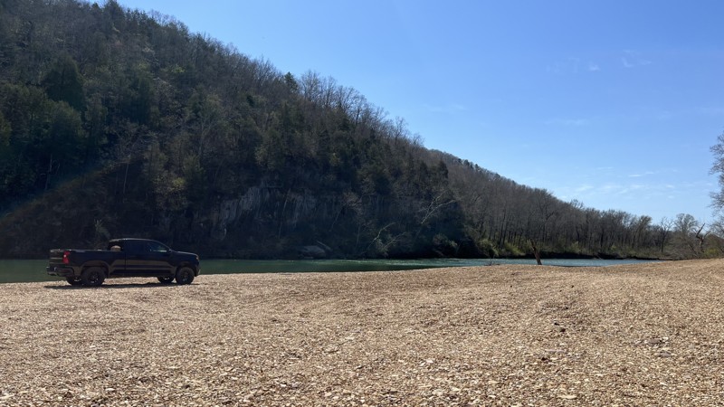
Palmer North is a simple and easy road through the Mark Twain National Forest and provides access to Parole Lake which is an old barite and lead mine. Barite, also spelled Baryte, is the main compound used in making barium. Barium is used in drilling mud, paint, glass, ceramics, and rubber. Barium sulfate is also used in medical tests and X-rays! The thick forest on either side of the track prevents seeing much until you get to the dam area, roughly the middle of the trail, where it opens up a little bit. No campsites are found on the road.
A small water crossing at the southern end with a culvert makes it uneventful except during heavy rain events.
Updated: 10/15/2024
CR 533
Owls Bend, Missouri
County Road 533 is a short, easy drive through the Ozark National Scenic Riverways and the Rocky Creek Conservation Area. The Current River Section of the famed hiking trail, the Ozark Trail, is close to the road at the beginning and end. The road ends on a large gravel bar at the Current River. There is plenty of space for multiple rigs to spread out for camping. Blue Spring and a water's edge cliff are directly across the river, where you can take in the sights. Along the way, there is an old barn and large fields to check out. If you want an easy camping opportunity, check out this trail!
Updated: 10/15/2024
Crane Mountain
Arcadia, Missouri
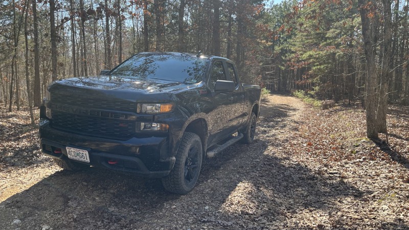
Crane Mountain is an easy trail in the Mark Twain National Forest. While short, it offers a campsite close to the trail's end and is close to the town of Ironton. The beginning of the trail starts at the top of a ridge and goes down to a small creek crossing and then up onto a ridge line. There are a couple of places where the valley below can be seen.
Updated: 10/15/2024
Gulf
Mill Spring, Missouri
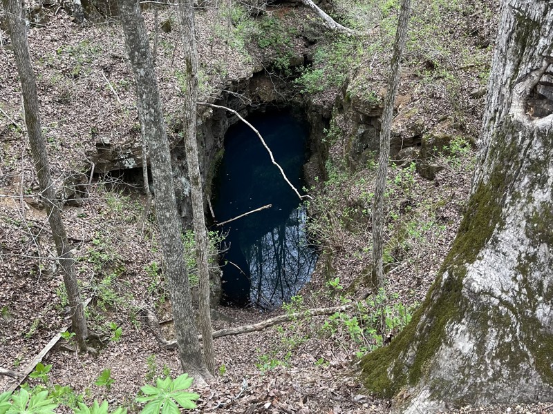
The Gulf, otherwise known as the Blue Hole, is a water sinkhole located within a portion of the Mark Twain National Forest. While the trail is not very interesting, the geologic feature is worth checking out and is the reason for stopping if you are in the area. The water level constantly changes depending on the season and the amount of rainfall. A small trail leads down close to the water; however, it is steep and slick, and there isn't much to hang on to. A couple of signs explain the history and geology of the sinkhole.
Updated: 10/15/2024
Crane Mountain Ridge
Arcadia, Missouri
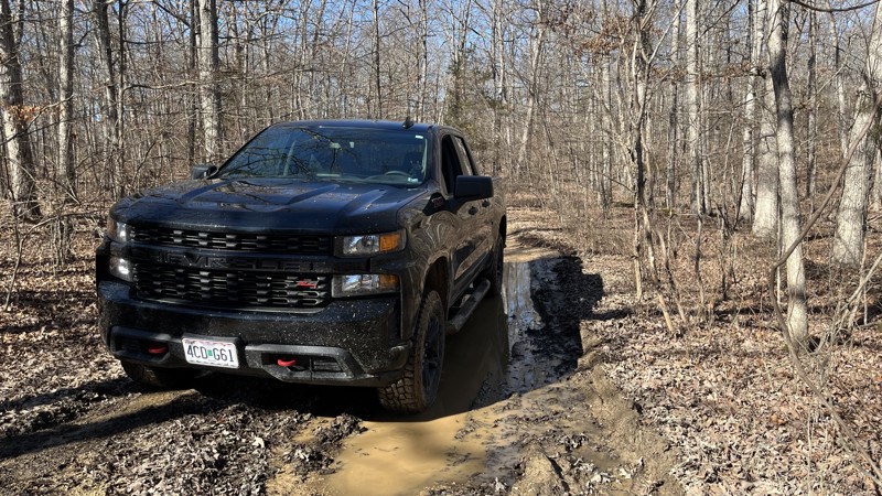
Crane Mountain Ridge offers camping, mud puddles, and valley views between the trees in places. There are several campsites along the trail. The mud puddles vary in size, and most of them have firm bottoms. Ironton is close by, along with other outdoor areas to check out.
Updated: 10/15/2024
Ishmael Branch
Peoria, Missouri
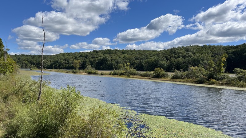
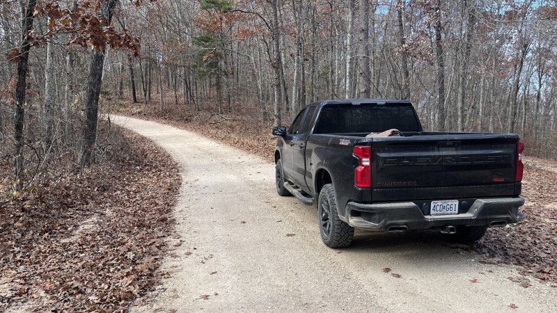
Ishmael Branch is a short trail within the Mark Twain National Forest, the primary access point to Howell Lake. The lake was formed as a result of the Howell Mine for barite. The road is easy to drive from its start point as it goes down the hill, but small ruts are anticipated due to water runoff due to rain. Just before the lake, a small campsite is tucked into the trees, offering a lake view. If you are in the area and want to explore, Howell Lake is a good place to check out.
Barite, also spelled Baryte, is the main compound used in making barium. Barium is used in drilling mud, paint, glass, ceramics, and rubber. Barium sulfate is also used in medical tests and X-rays!
Updated: 10/15/2024
CR 19-205
Eminence, Missouri
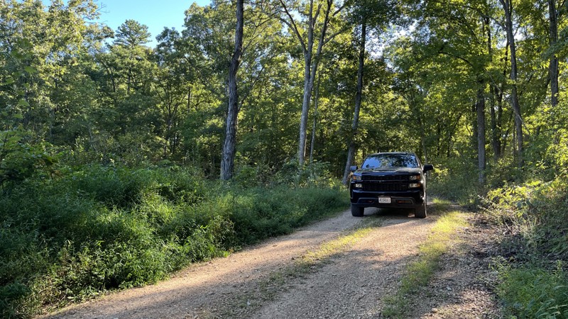
County Road 19-205 is a ridge line road with parts of it going through the Angeline Conservation Area along the top of a ridge. Most of the views along the route are obscured due to trees, so it isn't easy to see the countryside. Aside from its ability to connect with other roads in the area, there is nothing special about the trail. No campsites were observed directly off the road. However, several trails were going to the south through the conservation area that would no doubt have camping opportunities.
Updated: 09/10/2026
Timber Lane
Berryman, Missouri
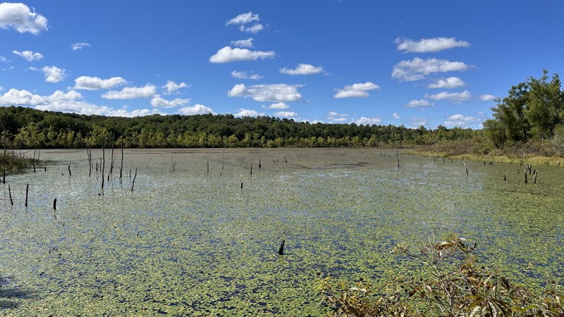
Timber Lane is a short trail through the Mark Twain National Forest that dead-ends at a big campsite. The track is not technical, and because of the thick forest, there is not much to see. At the end of the trail, there is a guard railing and a locked gate preventing any other travel. The main reason for taking this trail is to visit Timberline Lake.
Updated: 10/15/2024
Stringtown Branch
Berryman, Missouri
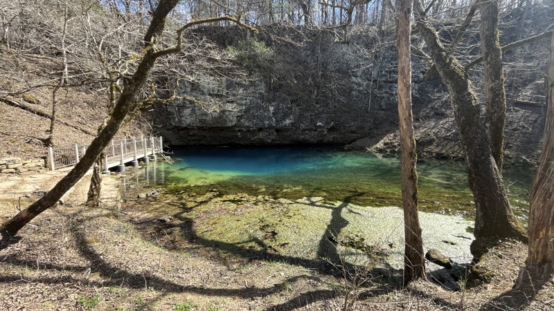
Stringtown Branch runs along the northern edge of Parole Lake, a former barite and lead mine. Dense vegetation and trees along the road make it difficult to see much of the surrounding area, but when the leaves fall, the views become more open. The lake itself is largely covered with lily pads, grasses, and other plant life. No campsites were seen along the trail, and while the road serves as a good connector to other areas, it doesn't have any particularly notable features.
Updated: 04/01/2025
CR 106-535
Deslet, Missouri
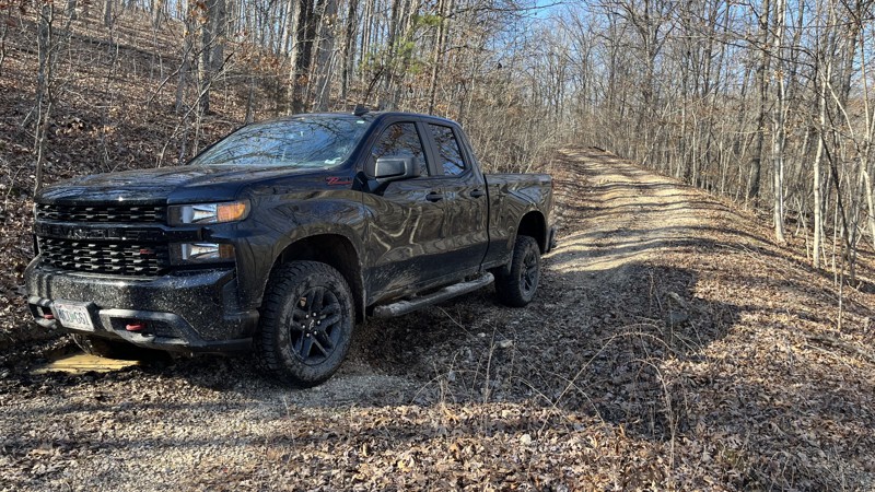
County Road 106-535 is an easy out-and-back gravel (golf ball size and smaller) road leading to Missouri's 6th largest natural spring. Starting at State Highway 106, the trail quickly transitions from the Current River Conservation Area to the Ozark National Scenic Riverways for most of the road. Users will encounter steep grades along the drive as the elevation drop from the beginning of the trail to the parking area is nearly 500 feet. Along the way, cliffs are visible, towering above the road along with dense trees. At the trail's end is a parking area, vault toilets, a picnic area, and a walking path to Blue Spring. A short, easy hike along the Current River ends at the deep blue water coming out from the base of a cliff.
Multiple signs at the trailhead offer information about Blue Spring. Its daily flow is 87-90 million gallons, and its depth is 310 feet, making it the deepest spring in the state.
Camping is not permitted.
Updated: 10/15/2024
Marsh Creek Spur D
Wide Ford, Missouri
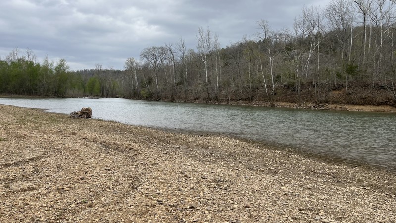
Marsh Creek Spur D is a nice little out-and-back trail. While not technical, ruts, puddles, and a creek crossing keep it interesting. A pair of nice campsites are on the southern third of the trail after the climb up from the creek crossing. At the end of the trail is a small turnaround point.
Updated: 10/15/2024
Lone Bee
Bull Run Camp, Missouri
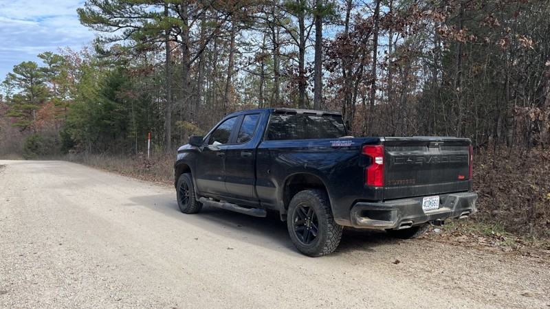
Lone Bee is a short, easy Mark Twain National Forest trail. It ends at the Black River with prime-time camping on a large gravel bar. Most of the trail is gravel, although there are mud and ruts at the end of the trail. Where the official MVUM shows the road ends, the trail curves to the right and ends on the large gravel bar. Across the river is a granite cliff outcropping known as Granite Bend. Large fields are on either side of the trail for additional camping options. The gravel bar's size depends on the river's water level.
Updated: 10/15/2024
CR 19-221
Venice, Missouri
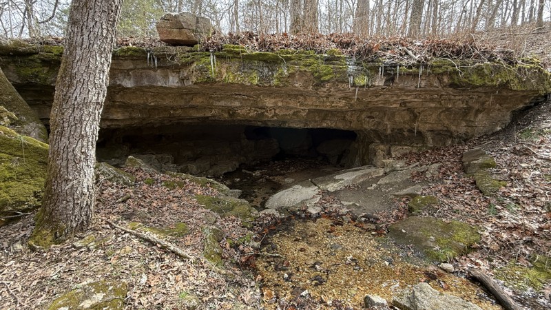
County Road 19-221 starts at Highway 19 and makes its way through the Angeline Conservation Area along the top of a ridge. There are side trails to explore as well as campsites. It is hard to see much of the countryside due to the trees. The trail connects with other roads in the area and is worth checking out.
Updated: 04/10/2026
Kaintuck Hollow
Yancy Mills, Missouri
If you are looking for a cool hiking experience, camping, and enjoying the peacefulness of the forest, look no further! While the track is not challenging, it offers plenty of hiking opportunities, the best of which is an easy hike on the Kaintuck Hollow trail to check out a natural bridge that more resembles a short cave! It is definitely the highlight of the area. The road has golf-ball-sized gravel and follows a creek for most of its length. There is also a cemetery and two hiking trailhead locations. There are large, flat grass campsites that can accommodate multiple vehicles in a few different locations.
Depending on the time of year, flooding may make the northern end impassable. Given the proximity to I-44, access is quick and easy, especially if passing through.
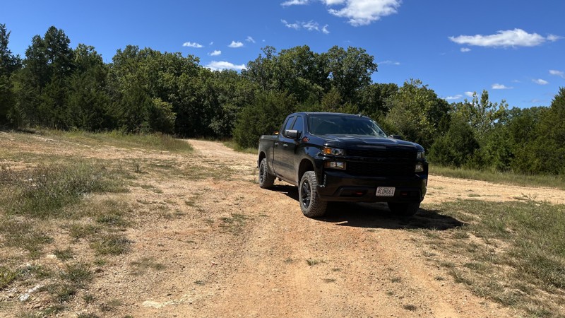
Updated: 10/15/2024
Mashit
Belgrade, Missouri
Mashit is a quick and easy gravel road that provides access to Palmer Lake. Where the MVUM shows the trail ending, it continues on to other areas around the lake, namely the dam and connecting to Gilliam (2571). The road itself is nothing special other than offering a gateway to the lake. Wide open areas around the end of the trail offer large, flat areas for camping.
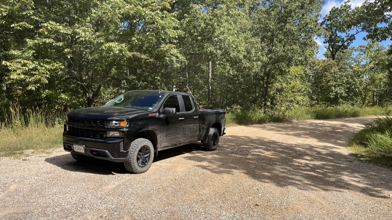
Updated: 09/10/2026
Old Tiff Mill
Belgrade, Missouri
Old Tiff Mill is typically driven to reach Howell Lake. The trail is simple and easy, through a thick forest of hardwood and pine, and provides connection access to the lake. There are a few campsites in clearings on the northern end.
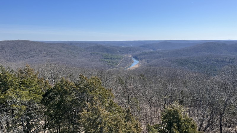
Updated: 04/01/2025
CR V-216
Owls Bend, Missouri
County Road V-216 offers an easy out-and-back drive on a gravel (golf ball size and smaller) road from State Highway V to the summit of Coot Mountain. The elevation gain is just over 400 feet to the top of the mountain. The trail starts with private property on either side before transitioning to the Rocky Creek Conservation Area and a corner of the Ozark National Scenic Riverways. There is a bridge over the creek and trees along the duration of the trail. Beware of downed tree branches. Close to the end of the road, there is a closed and locked gate preventing traveling up the trail's last little bit. There is a small parking area to stage vehicles close to the gate. Once parked, a short hike up the road reveals a fire tower and buildings.
The fire tower can be climbed almost all the way to the top. The observation platform is locked to prevent access. Views around the area provide an excellent vantage point for observing the Current River and surrounding countryside. If you are looking for a prominent place for views, look no further!
No obvious campsites were observed along the trail.
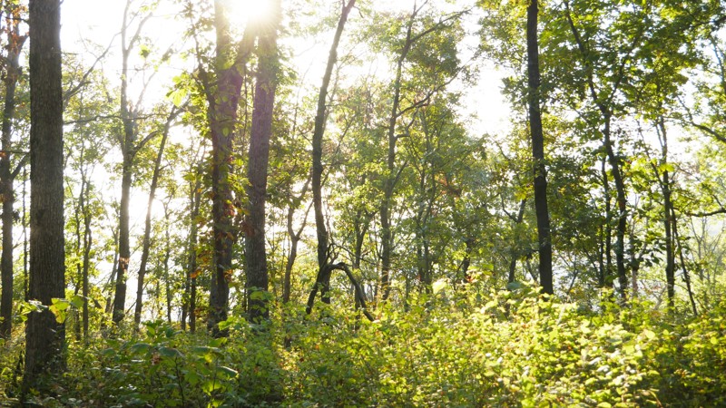
Updated: 01/05/2026
Mountain Maid Road
Eagle Rock, Missouri
1050 Mountain Maid Road is a short, scenic forest route located south of Roaring River State Park in the Mark Twain National Forest. The trail offers a peaceful mix of mud, dirt, and light rock surfaces, making it a fun and approachable drive for most vehicles.
The route is primarily flat with occasional soft spots and scattered rocks. Overgrowth is significant in places, especially during summer, so expect light pinstripes on wider rigs. Despite the tight brush, the road is well worth exploring for its quiet atmosphere and easy terrain.
Several primitive campsites can be found along the route, including a standout spot beside a small pond, perfect for an overnight stay or lunch stop. The trail culminates on a ridgeline with views of tree-filtered valleys. In winter, when the leaves are down, this high point offers expansive vistas of the surrounding Ozark hills.

Upgrade your Membership
Unlock all of the details on every Trail Guide and Scout Route.
Start a 7-day Free TrialBrowse Trails in Missouri by City
Browse every Missouri city with offroad trail guides.
Community
Partners

