
Guard Rail - Southern Missouri Off-Road Ranch (39.23 miles away)
Seymour, Missouri
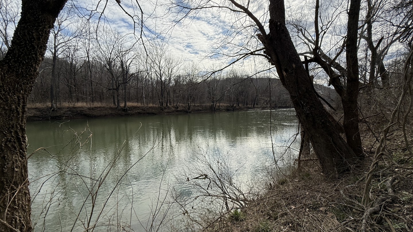

Forest Service Road Brown provides access to the Gasconade River. The track starts at the top of a ridge line with private property on either side of the road. Open fields with cattle provide clear visibility to the surrounding ridgelines in the distance. Once the trail starts descending to the valley below, this marks the transition to public land. Golfball-sized gravel and some water runoff areas are not a challenge. The trail then turns around at a point right next to the river. The area is large and flat, so that multiple vehicles can set up for the only obvious campsite on the trail. There is one side trail near the end that heads to the river as well.
Depending on weather conditions and river water level, the end of the trail might be impassable. There is clear evidence of past high flood waters.