



By clicking "ACCEPT", you agree to be the terms and conditions of each policy linked to above. You also agree to the storing of cookies on your device to facilitate the operation and functionality of our site, enhance and customize your user experience, and to analyze how our site is used.
Missouri Off-Road Trails
4
Total Trail Guides 1

35
Detailed Waypoints 74
Try a Free 7-Day Trial and unlock it all
Start a Free Trial Most Recent Trail Reviews
No Rating
Open
Visited: 08/11/2026
Per the MVUM, the trail is seasonally open. As always, check current fire restrictions/closures before venturing out.


Trails Offroad
Official Crew
Open
Visited: 08/11/2026
Per the MVUM, the trail is seasonally open. As always, check current fire restrictions/closures before venturing out.
Trails Offroad
Official Crew
Open
Visited: 08/11/2026
Per the MVUM, the trail is seasonally open. As always, check current fire restrictions/closures before venturing out.
Trails Offroad
Official Crew
Rated 3/5
Open
Visited: 06/26/2026
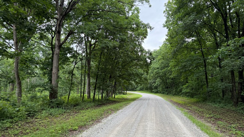
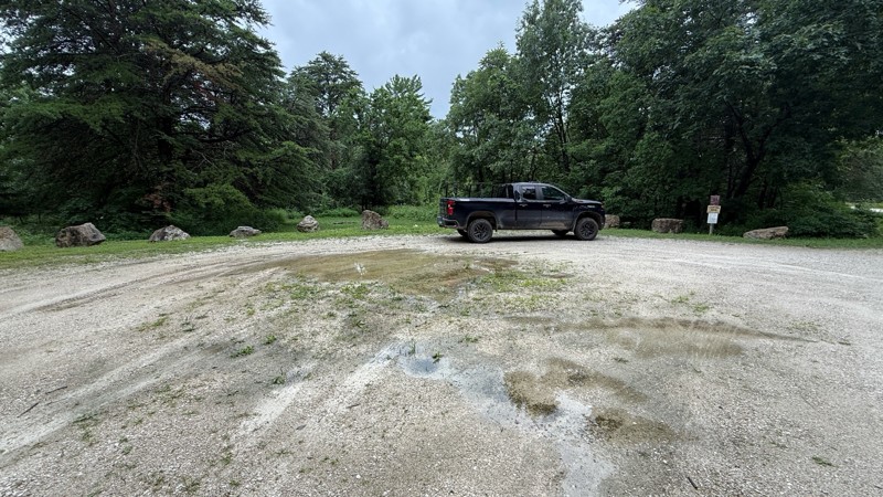
Tower road was an uneventful drive through the forest. The camping areas vary in size from 1-2 vehicles all the way to a large group site and are easily accessible by pretty much any vehicle. Most of ...

Shayne Danielson
Official Crew
Rated 4/5
Open
Visited: 06/26/2026
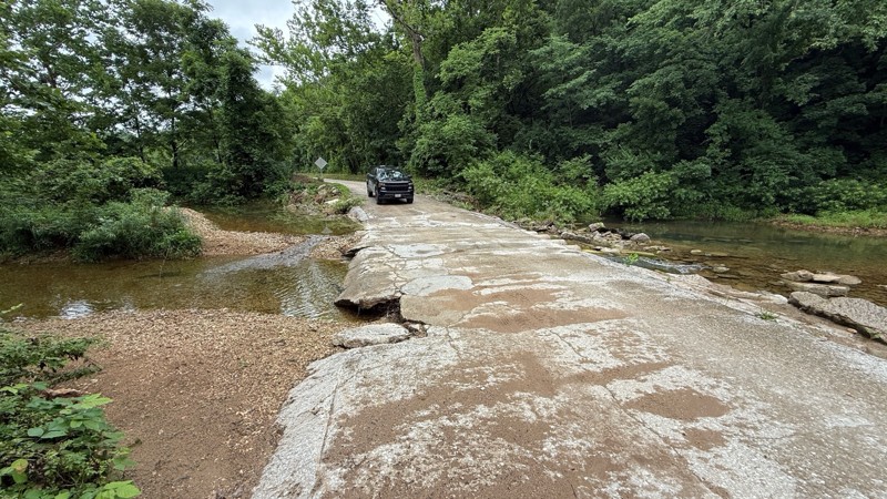
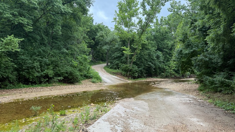
The trail is not demanding at all. I was expecting higher water levels after the area received quite a bit of rain within the last 24 hours. As you can see by the photos, all of the creek crossings we...
Shayne Danielson
Official Crew
Rated 3/5
Open
Visited: 06/26/2026
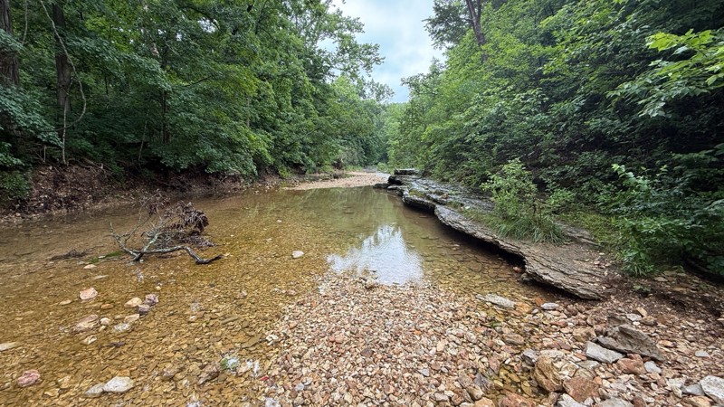
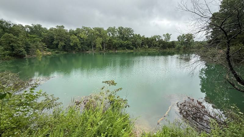
The road itself is a simple gravel road to to drive. The creek bottom has a nice area to have lunch and hike the Lizard Rock Nature Trail and check out the north fork of Charrette creek. Walking in th...
Shayne Danielson
Official Crew
Open
Visited: 06/26/2026
According to MVUM data, this trail should be open for the season.
Trails Offroad
Official Crew
Rated 5/5
Open
Visited: 06/06/2026
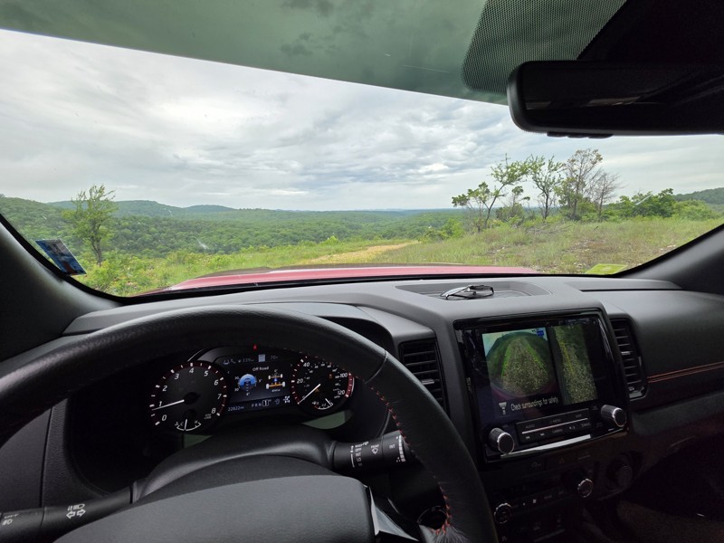
75% of this trail is pretty and difficult-ish but more just bumpy/rocky than anything and not too bad, but the creek bed/bottoms section (north half of west side of map) is TIGHT, my frontier felt hug...

Sean Allen
Open
Visited: 05/22/2026
Busy in the campgrounds but the park is big enough that the trail did not to feel crowded. A nice drive with a couple shelf obstacles. Rained the night before so lots of water. Tree fell in the night ...
TR
Tim Ritchie
Rated 4/5
Open
Visited: 05/16/2026
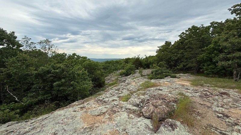
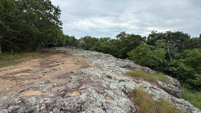
The trail no longer is moderate in difficulty level. Any 2wd vehicle can make it to the top since there are no ruts, puddle holes or any other obstacles. The last part at the top is now blocked off wi...
Shayne Danielson
Official Crew
No Rating
Seasonal Closure
Visited: 03/31/2026
According to this trails management agency, the trail is likely closed for the season.
You can reach out to the agency for more details.
Be sure to leave us a report and let us know ...
Trails Offroad
Official Crew
Rated 5/5
Open
Visited: 03/29/2026
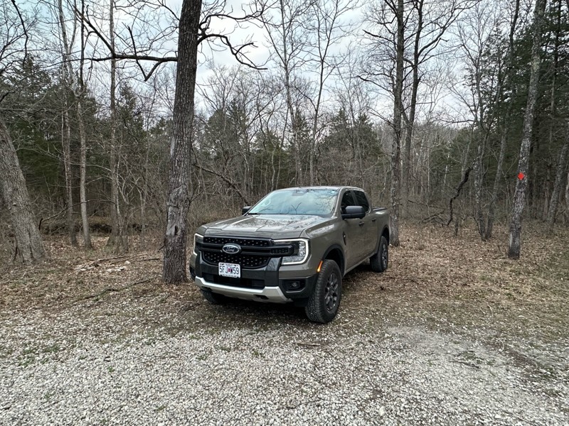
Gravel road that is fairly well maintained, lots of great camping as well as miles of hiking trails. Natural Bridge is easily walked to and a nice side quest to stretch the legs a bit. Large area to p...
A
Adam
Rated 5/5
Open
Visited: 03/19/2026
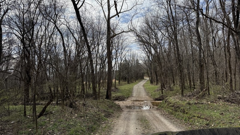
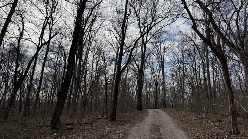
Riverview provides the best camping option in the area! Because of this, I can see it being a popular location. Unfortunately, I was not able to get good photos of the gravel bar since it was occupied...
Shayne Danielson
Official Crew
Rated 4/5
Open
Visited: 03/19/2026
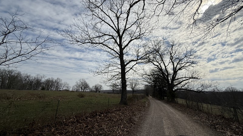
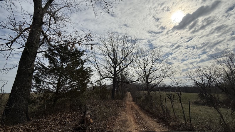
This trail is pretty simple and straight forward. While the campsite is large and flat, I would consider it to be a back up to the large gravel bar located on the the connecting FSR Riverview just sou...
Shayne Danielson
Official Crew
Rated 4/5
Open
Visited: 03/19/2026
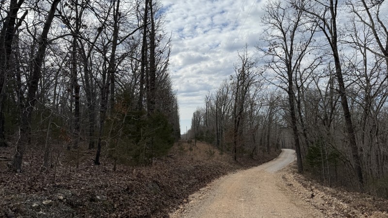
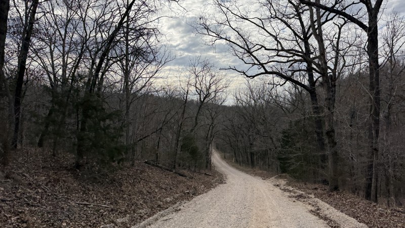
The trail itself is not difficult at all. Aside from some gravel bottomed water puddles, it is not a challenge. The campsites are uneven so it could be a challenge getting level depending on the spot ...
Shayne Danielson
Official Crew
Open
Visited: 03/18/2026
According to Smorr.net, the park is open to the public from Friday through Sunday.

Todd
Official Crew
Rated 4/5
Open
Visited: 03/17/2026
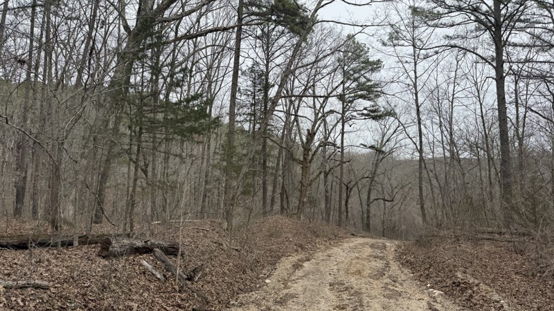
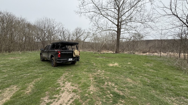
While the trail is short, it does have a large camping area right next to the river. Depending on how much rain the area has had, the mud area at the bottom might not be passable. The only access to t...
Shayne Danielson
Official Crew
Rated 5/5
Open
Visited: 03/17/2026
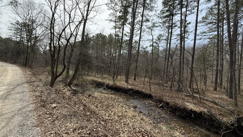
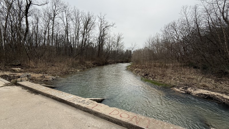
Kaintuck Hollow is a neat area! I am glad I checked out the area. The arch is more like a short through cave that you can hike through. Water was flowing through it when I visited. It has a few tight ...
Shayne Danielson
Official Crew
Rated 4/5
Open
Visited: 03/17/2026
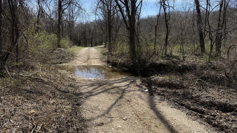
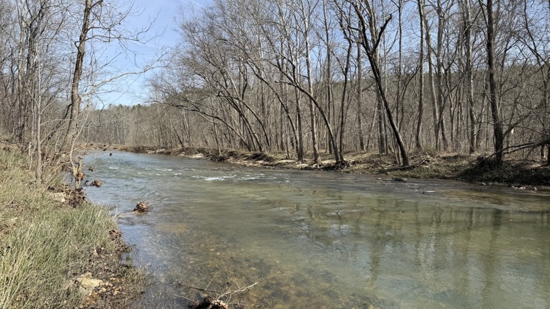
This is an easy trail providing two large waterside camping options. At the time of this review, I would consider the trail to be out and back because 1735A on the southern end was blocked by a signif...
Shayne Danielson
Official Crew
Rated 5/5
Open
Visited: 02/08/2026
For an easy drive, this one was a lot of fun. Nice crossings that got some water up on the hood, and a few spots where you could go through the stream for some extra fun. Nice views and plenty of wild...
MC
Mark Croke
Rated 4/5
Open
Visited: 02/08/2026
Nice ride for a family in the morning. No difficulties on the trail at all. Even with a lot of snowmelt over the past couple of days, the creek was low, and there were only a few splashes at the cross...
MC
Mark Croke
Seasonal Closure
Visited: 12/01/2025
According to this trails management agency, the trail is likely closed for the season.
You can reach out to the agency for more details.
Be sure to leave us a report and let us know ...
Trails Offroad
Official Crew
Seasonal Closure
Visited: 12/01/2025
According to this trails management agency, the trail is likely closed for the season.
You can reach out to the agency for more details.
Be sure to leave us a report and let us know ...
Trails Offroad
Official Crew
Seasonal Closure
Visited: 12/01/2025
According to this trails management agency, the trail is likely closed for the season.
You can reach out to the agency for more details.
Be sure to leave us a report and let us know ...
Trails Offroad
Official Crew
Seasonal Closure
Visited: 12/01/2025
According to this trails management agency, the trail is likely closed for the season.
You can reach out to the agency for more details.
Be sure to leave us a report and let us know ...
Trails Offroad
Official Crew
Seasonal Closure
Visited: 12/01/2025
According to this trails management agency, the trail is likely closed for the season.
You can reach out to the agency for more details.
Be sure to leave us a report and let us know ...
Trails Offroad
Official Crew
Open
Visited: 11/04/2025
The Guard Rail trails starts close the to main office and immediately presents the driver with a steep down grade to reach the creek bed. Correct tire placement is required on two off camber ledges a...

Richard Wooden
Open
Visited: 11/04/2025
This week, we ran Pee Wee’s Crossing long trail running over dirt and rocks or directly through a creek bed. This fall was dry, so the creek was not an issue, and the tree canopy has a range of fall c...
Richard Wooden
Rated 3/5
Open
Visited: 10/04/2025
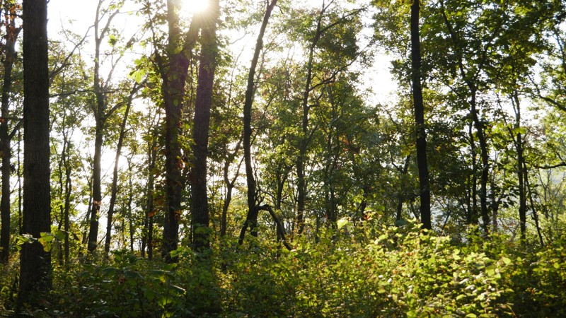
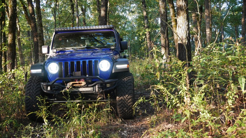
1050 Mountain Maid Road is one of those quiet little gems tucked south of Roaring River State Park, nothing extreme, but full of that Ozark charm. The drive itself is easygoing, but you’ll definitely ...

Brent
Official Crew
Rated 5/5
Open
Visited: 10/04/2025
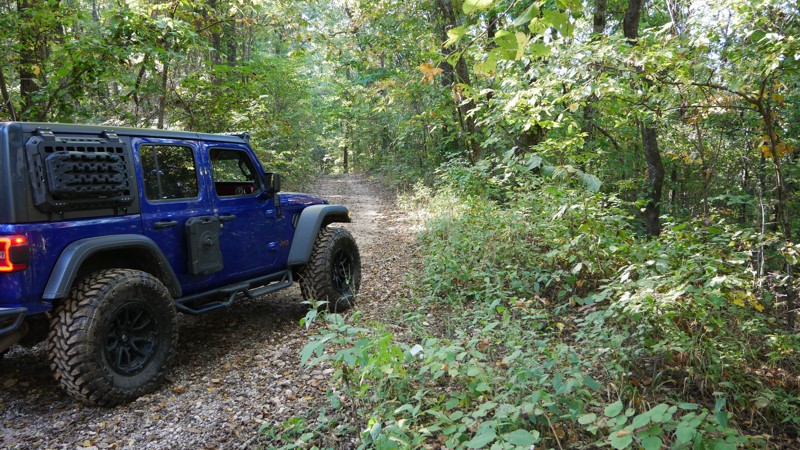
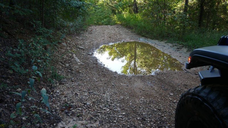
The highlight of the trail is the Radium Springs Well, where remnants of the old stone structure still stand hidden among the trees. It’s an atmospheric spot that connects today’s explorers with a for...
Brent
Official Crew
Rated 5/5
Open
Visited: 10/04/2025
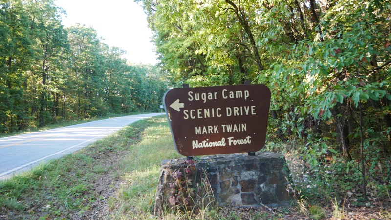
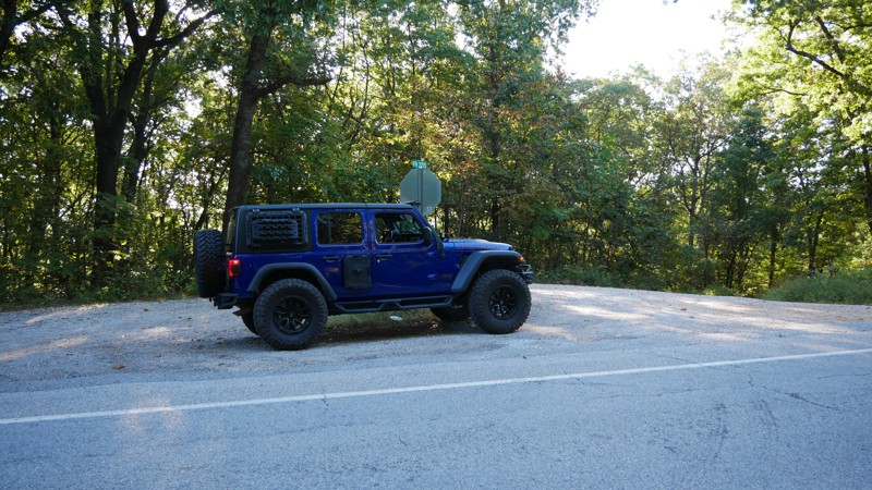
If you’re looking for a relaxed, scenic drive through the Ozarks that still leaves room for exploration, Sugar Camp Scenic Byway delivers. Tucked just south of Roaring River State Park, this gravel ro...
Brent
Official Crew
No Rating
Open
Visited: 05/16/2025
According to this trails management agency, the trail is likely open for the season.
You can reach out to the agency for more details.
Be sure to leave us a report and let us know if...
Trails Offroad
Official Crew
No Rating
Seasonal Closure
Visited: 03/31/2025
According to this trails management agency, the trail is likely closed for the season.
You can reach out to the agency for more details.
Be sure to leave us a report and let us know ...
Trails Offroad
Official Crew
Open
Visited: 03/31/2025
According to this trails management agency, the trail is likely open for the season.
You can reach out to the agency for more details.
Be sure to leave us a report and let us know if...
Trails Offroad
Official Crew
Open
Visited: 03/31/2025
According to this trails management agency, the trail is likely open for the season.
You can reach out to the agency for more details.
Be sure to leave us a report and let us know if...
Trails Offroad
Official Crew
Open
Visited: 03/31/2025
According to this trails management agency, the trail is likely open for the season.
You can reach out to the agency for more details.
Be sure to leave us a report and let us know if...
Trails Offroad
Official Crew
Open
Visited: 03/31/2025
According to this trails management agency, the trail is likely open for the season.
You can reach out to the agency for more details.
Be sure to leave us a report and let us know if...
Trails Offroad
Official Crew
Rated 5/5
Open
Visited: 03/26/2025
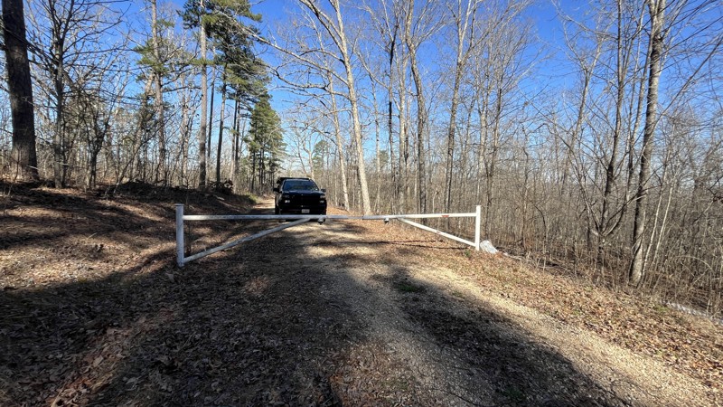
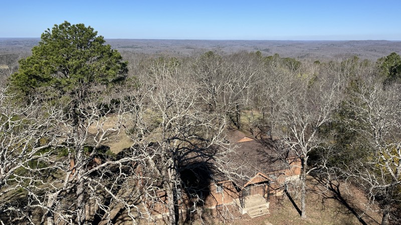
If you are in the area, this is a great place to visit! The views are amazing making it worth the time to check out. There were a few spots with downed trees and tree branches that had been cleared al...
Shayne Danielson
Official Crew
Rated 4/5
Open
Visited: 03/25/2025
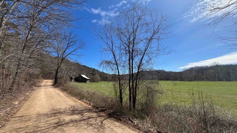
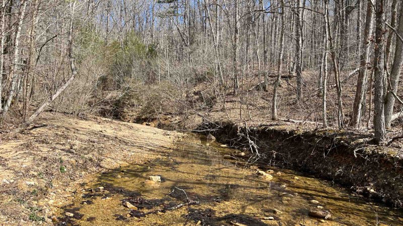
I did a patrol of the trail and took a few more photos. It was an easy drive and all the water crossings were uneventful because the water levels were pretty low.
Shayne Danielson
Official Crew
Rated 5/5
Open
Visited: 03/25/2025
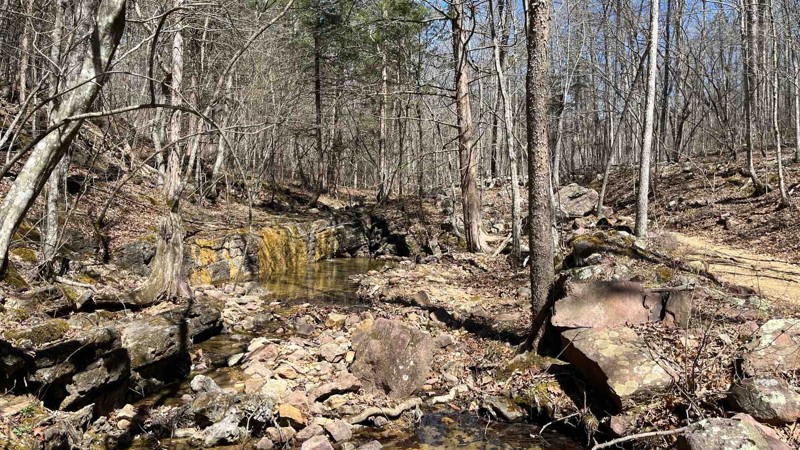
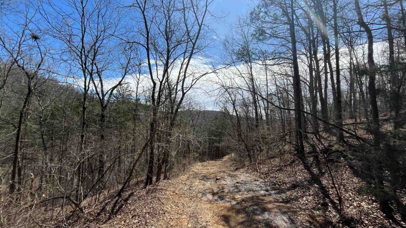
I did a patrol of P-235 to check the conditions of the trail and to add some photos of Colwil Lake. The water crossing at Blair Creek was 12” deep and had plenty of loose rock. This is where you will ...
Shayne Danielson
Official Crew
Rated 3/5
Open
Visited: 03/25/2025
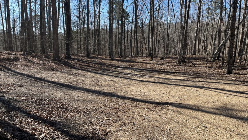
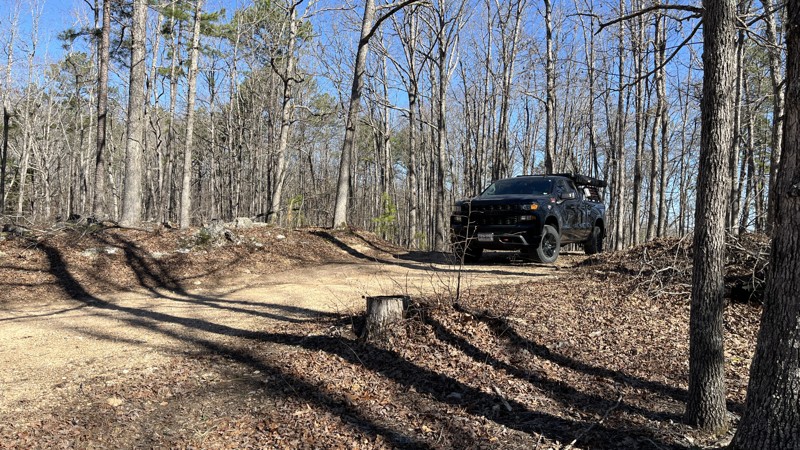
If you are looking for a good forest drive, this is the trail for you. Glimpses of the valley below with the Current River and Big Creek can be seen through the trees in places. There has been a decen...
Shayne Danielson
Official Crew
Rated 5/5
Open
Visited: 03/25/2025
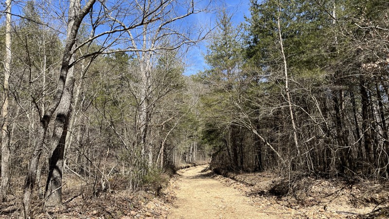
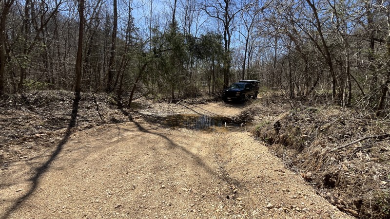
I enjoyed the trail for sure with the best parts being the water crossings in the valley. There hasn't been much rain lately which made the water crossings uneventful. If there has been a good amount ...
Shayne Danielson
Official Crew
Rated 5/5
Open
Visited: 03/25/2025
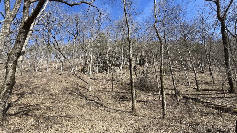
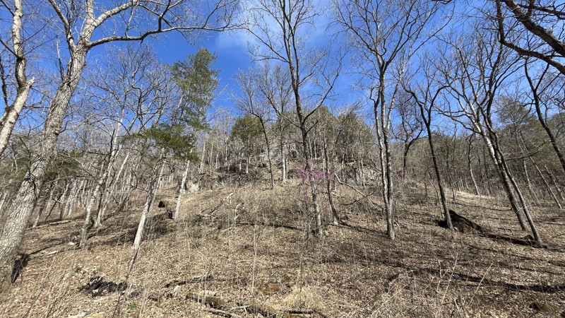
Blue Spring did not disappoint! The signs stating steep grade were absolutely correct. The cliffs were an unexpected highlight along the drive. The walking trail to get to Blue Spring is short with so...
Shayne Danielson
Official Crew
Open
Visited: 03/07/2025
Park is open for the season.


Ryan Boudreau
Official Crew
Open
Visited: 03/07/2025
Park is open for the season.
Ryan Boudreau
Official Crew
Open
Visited: 03/07/2025
Park is open for the season.
Ryan Boudreau
Official Crew
Open
Visited: 03/07/2025
Park is open for the season.
Ryan Boudreau
Official Crew
Open
Visited: 03/07/2025
Park is open for the season.

Ryan Boudreau
Official Crew
Open
Visited: 03/07/2025
Park is open for the season.
Ryan Boudreau
Official Crew
Most Popular

Updated: 10/15/2024
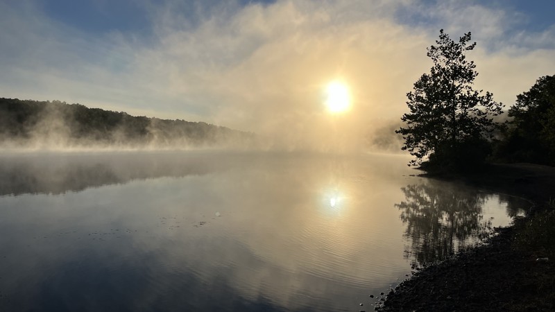
Mashit Spur B
Belgrade, Missouri
Mashit Spur B offers the perfect access to Palmer Lake, an old barite mine. The trail dead ends at the water's edge, where there is a boat ramp. To the east, there is some shoreline to set up for camping, and the same applies to the west. Going to the west, it connects to the dam. Palmer Lake is a popular area for fishing, boating, camping, and driving around. Check it out to maximize your recreation activity potential!
Barite is also spelled Baryte and is the main compound used in making barium. Barium is used in drilling muds, paint, glass, ceramics, and rubber. Barium sulfate is also used in medical tests and X-rays!
Updated: 04/10/2026
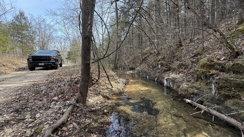
Huffman
Newburg, Missouri
Forest Service Road 1735, also known as Huffman, is an easy trail through the Mark Twain National Forest, providing two access points to Little Piney Creek. Throughout the length of the track, golfball-sized gravel and smaller make up the road conditions, and it is generally not very rough. There are two small water crossings at the northern end, with the entire length of the trail being full-size truck-friendly. Three obvious campsites can be found, two of which are along the creek and the third one at the top of the ridge on the southeastern end of the trail. All three locations can fit multiple rigs. Signs for fishing are prominently displayed if you want to cast a line. It is quiet and close to I-44, making it easily accessible.
Updated: 09/10/2026
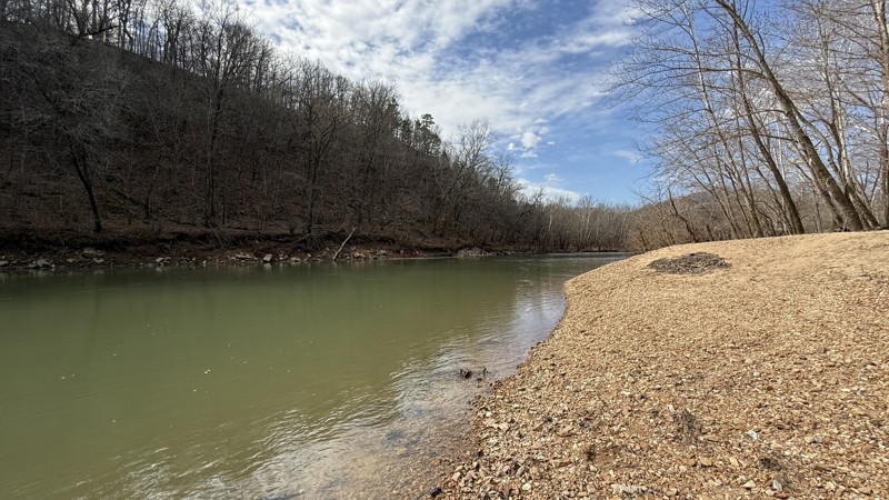
Riverview
Nebo, Missouri
The highlight is a large gravel bar right on the river's edge, making it a prime time camping location! There is one small creek crossing on the northern end and golfball-sized gravel throughout the length of the road. It stops at a boat ramp and a decent-sized campsite for a couple of vehicles. There is a large, open field, clearly showing the bluff on the east side of the river, behind an old fence. This trail is absolutely worth checking out, especially for the gravel bar camping.
Depending on weather conditions and river water level, the end of the trail might be impassable. There is clear evidence of past high flood waters.
Updated: 09/10/2026
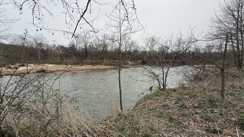
National Scenic Trail
Duke, Missouri
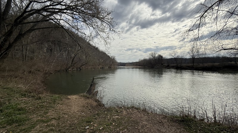
Forest Service Road 1794, also known as the National Scenic Trail, is an out-and-back road that provides access to the Big Piney River. At the official end of the MVUM road, it continues around a muddy bend before stopping at the river. There is a boat ramp and a large, flat camping area that can accommodate multiple rigs. The trail itself has loose baseball-size rocks and smaller ones, with water runoff ruts from the top of the ridge down to almost the end at the bottom. Once the trail flattens out, there are multiple gravel bottomed water puddles. If you are looking for a quiet river location, look no further.
Be sure to check weather conditions and river water levels that may make the end of the trail impassable. Past flooding is clearly evident in the area.
Updated: 09/10/2026
McBride
Competition, Missouri
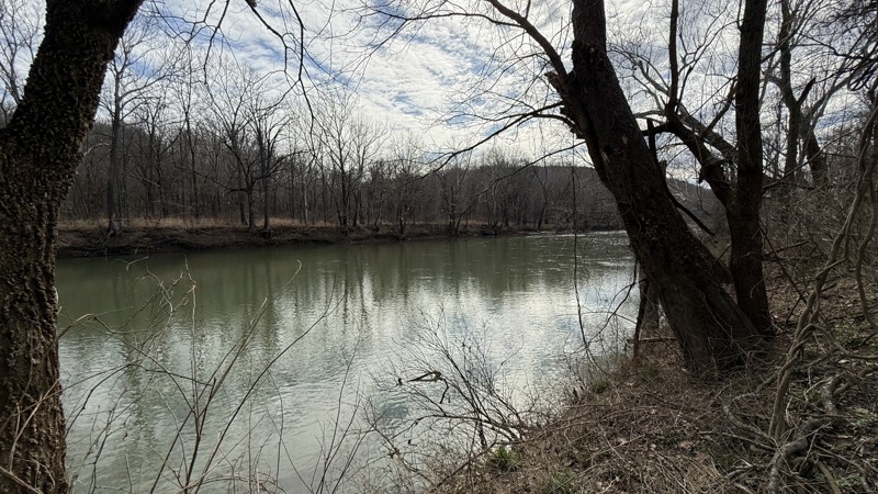
McBride is an out-and-back trail giving access to the Gasconade River. It starts at the top of the ridge as a typical gravel road and once at the bottom transitions to a two-track to the river. There is a creek bed that runs through the trail at multiple points. Generally, the gravel size is golfball and smaller. Once it turns to the northeast, there is a cliff with small cave entrances to explore. At the end of the track, a couple of small camping areas with great views are available, along with a boat ramp.
Depending on weather conditions and river water level, the end of the trail might be impassable. There is clear evidence of past high flood waters.
Updated: 09/10/2026
Brown
Falcon, Missouri
Forest Service Road Brown provides access to the Gasconade River. The track starts at the top of a ridge line with private property on either side of the road. Open fields with cattle provide clear visibility to the surrounding ridgelines in the distance. Once the trail starts descending to the valley below, this marks the transition to public land. Golfball-sized gravel and some water runoff areas are not a challenge. The trail then turns around at a point right next to the river. The area is large and flat, so that multiple vehicles can set up for the only obvious campsite on the trail. There is one side trail near the end that heads to the river as well.
Depending on weather conditions and river water level, the end of the trail might be impassable. There is clear evidence of past high flood waters.

Upgrade your Membership
Unlock all of the details on every Trail Guide and Scout Route.
Start a 7-day Free TrialBrowse Trails in Missouri by City
Browse every Missouri city with offroad trail guides.
Community
Partners

