


By clicking "ACCEPT", you agree to be the terms and conditions of each policy linked to above. You also agree to the storing of cookies on your device to facilitate the operation and functionality of our site, enhance and customize your user experience, and to analyze how our site is used.
Missouri Off-Road Trails
4
Total Trail Guides 1

35
Detailed Waypoints 74
Try a Free 7-Day Trial and unlock it all
Start a Free Trial Most Recent Trail Reviews
No Rating
Open
Visited: 08/11/2026
Per the MVUM, the trail is seasonally open. As always, check current fire restrictions/closures before venturing out.


Trails Offroad
Official Crew
Open
Visited: 08/11/2026
Per the MVUM, the trail is seasonally open. As always, check current fire restrictions/closures before venturing out.
Trails Offroad
Official Crew
Open
Visited: 08/11/2026
Per the MVUM, the trail is seasonally open. As always, check current fire restrictions/closures before venturing out.
Trails Offroad
Official Crew
Rated 3/5
Open
Visited: 06/26/2026
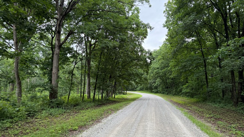
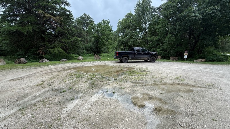
Tower road was an uneventful drive through the forest. The camping areas vary in size from 1-2 vehicles all the way to a large group site and are easily accessible by pretty much any vehicle. Most of ...

Shayne Danielson
Official Crew
Rated 4/5
Open
Visited: 06/26/2026
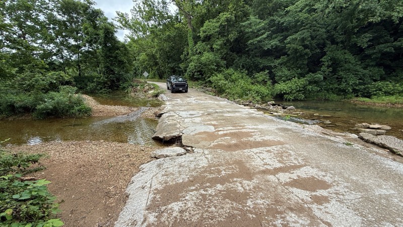
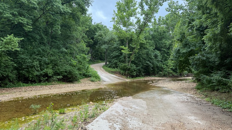
The trail is not demanding at all. I was expecting higher water levels after the area received quite a bit of rain within the last 24 hours. As you can see by the photos, all of the creek crossings we...
Shayne Danielson
Official Crew
Rated 3/5
Open
Visited: 06/26/2026
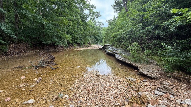
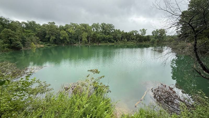
The road itself is a simple gravel road to to drive. The creek bottom has a nice area to have lunch and hike the Lizard Rock Nature Trail and check out the north fork of Charrette creek. Walking in th...
Shayne Danielson
Official Crew
Open
Visited: 06/26/2026
According to MVUM data, this trail should be open for the season.
Trails Offroad
Official Crew
Rated 5/5
Open
Visited: 06/06/2026
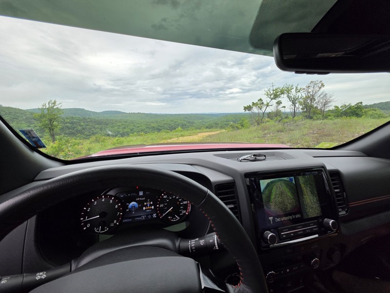
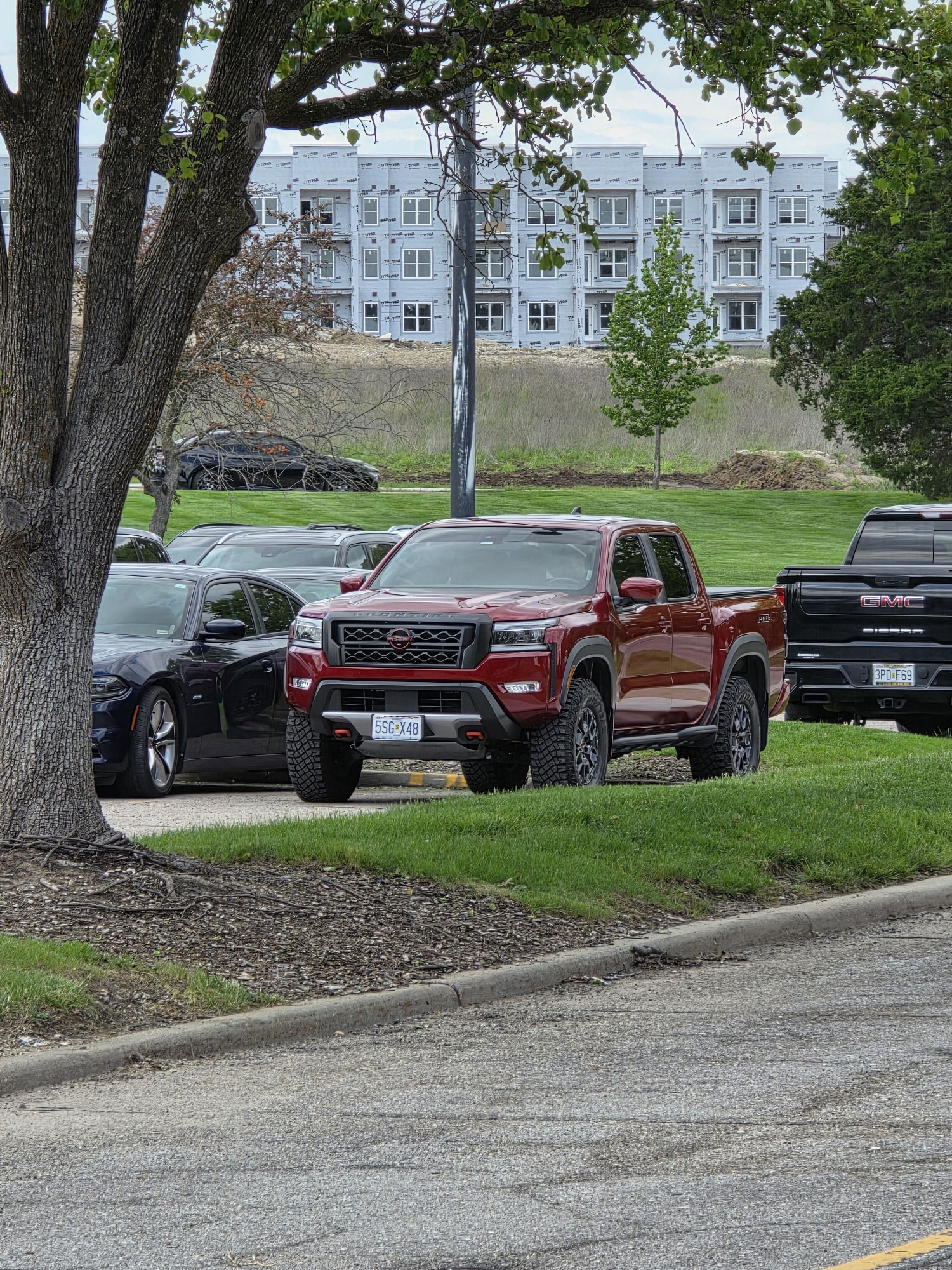
75% of this trail is pretty and difficult-ish but more just bumpy/rocky than anything and not too bad, but the creek bed/bottoms section (north half of west side of map) is TIGHT, my frontier felt hug...
Sean Allen
Open
Visited: 05/22/2026
Busy in the campgrounds but the park is big enough that the trail did not to feel crowded. A nice drive with a couple shelf obstacles. Rained the night before so lots of water. Tree fell in the night ...
TR
Tim Ritchie
Rated 4/5
Open
Visited: 05/16/2026
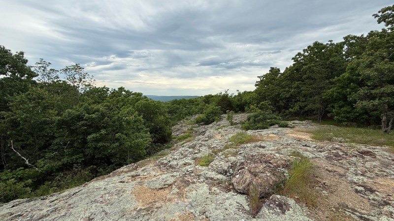
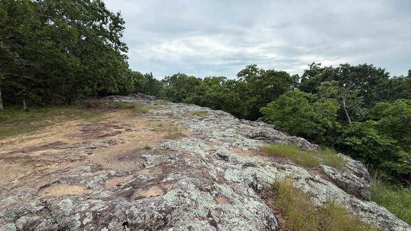
The trail no longer is moderate in difficulty level. Any 2wd vehicle can make it to the top since there are no ruts, puddle holes or any other obstacles. The last part at the top is now blocked off wi...
Shayne Danielson
Official Crew
No Rating
Seasonal Closure
Visited: 03/31/2026
According to this trails management agency, the trail is likely closed for the season.
You can reach out to the agency for more details.
Be sure to leave us a report and let us know ...
Trails Offroad
Official Crew
Rated 5/5
Open
Visited: 03/29/2026
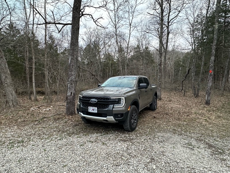
Gravel road that is fairly well maintained, lots of great camping as well as miles of hiking trails. Natural Bridge is easily walked to and a nice side quest to stretch the legs a bit. Large area to p...
A
Adam
Rated 5/5
Open
Visited: 03/19/2026
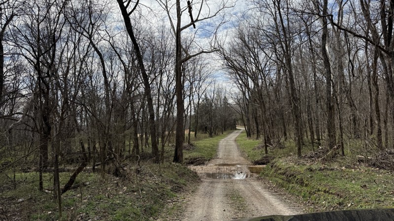
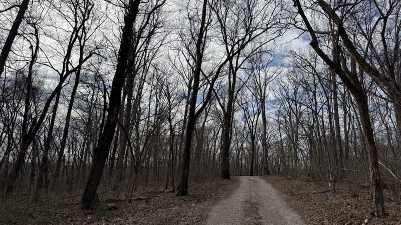
Riverview provides the best camping option in the area! Because of this, I can see it being a popular location. Unfortunately, I was not able to get good photos of the gravel bar since it was occupied...
Shayne Danielson
Official Crew
Rated 4/5
Open
Visited: 03/19/2026
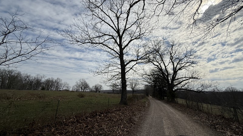
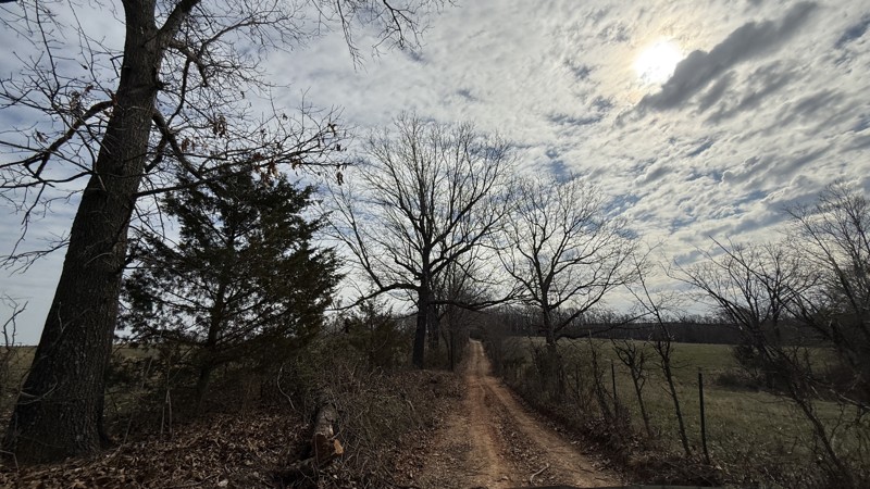
This trail is pretty simple and straight forward. While the campsite is large and flat, I would consider it to be a back up to the large gravel bar located on the the connecting FSR Riverview just sou...
Shayne Danielson
Official Crew
Rated 4/5
Open
Visited: 03/19/2026
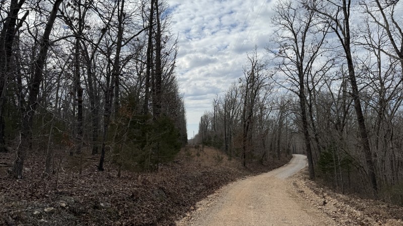
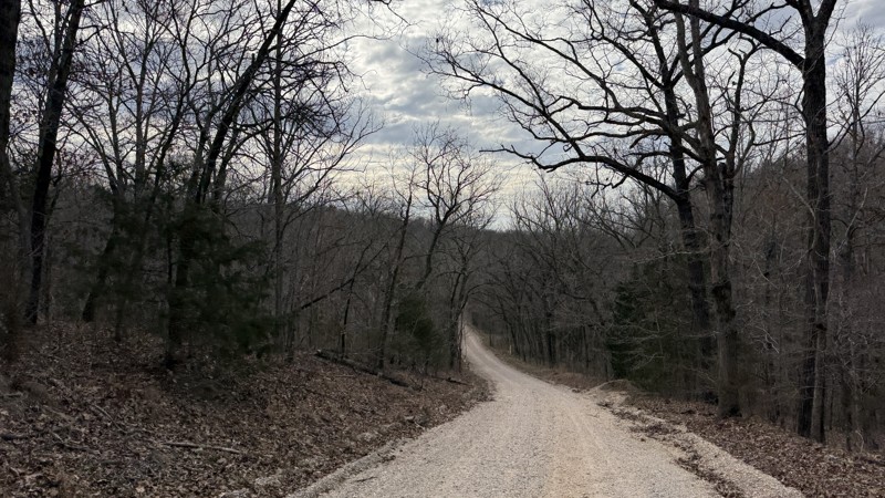
The trail itself is not difficult at all. Aside from some gravel bottomed water puddles, it is not a challenge. The campsites are uneven so it could be a challenge getting level depending on the spot ...
Shayne Danielson
Official Crew
Open
Visited: 03/18/2026
According to Smorr.net, the park is open to the public from Friday through Sunday.

Todd
Official Crew
Rated 4/5
Open
Visited: 03/17/2026
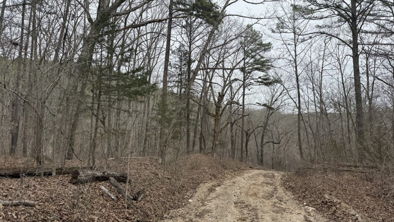
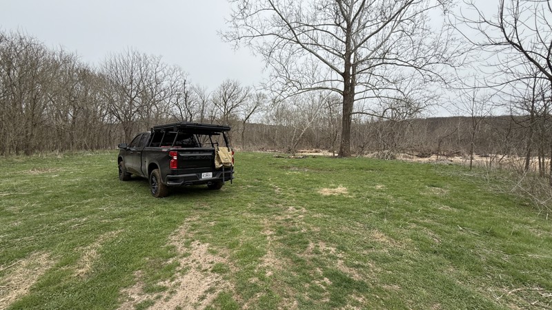
While the trail is short, it does have a large camping area right next to the river. Depending on how much rain the area has had, the mud area at the bottom might not be passable. The only access to t...
Shayne Danielson
Official Crew
Rated 5/5
Open
Visited: 03/17/2026
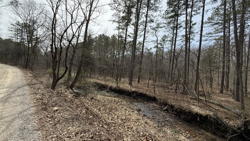
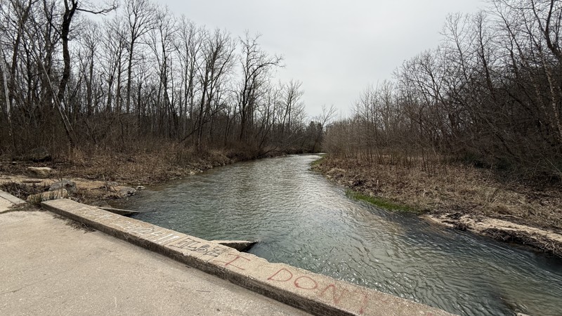
Kaintuck Hollow is a neat area! I am glad I checked out the area. The arch is more like a short through cave that you can hike through. Water was flowing through it when I visited. It has a few tight ...
Shayne Danielson
Official Crew
Rated 4/5
Open
Visited: 03/17/2026
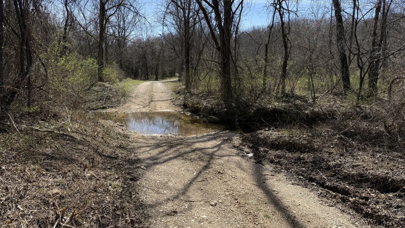
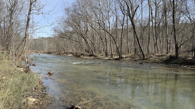
This is an easy trail providing two large waterside camping options. At the time of this review, I would consider the trail to be out and back because 1735A on the southern end was blocked by a signif...
Shayne Danielson
Official Crew
Rated 5/5
Open
Visited: 02/08/2026
For an easy drive, this one was a lot of fun. Nice crossings that got some water up on the hood, and a few spots where you could go through the stream for some extra fun. Nice views and plenty of wild...
MC
Mark Croke
Rated 4/5
Open
Visited: 02/08/2026
Nice ride for a family in the morning. No difficulties on the trail at all. Even with a lot of snowmelt over the past couple of days, the creek was low, and there were only a few splashes at the cross...
MC
Mark Croke
Seasonal Closure
Visited: 12/01/2025
According to this trails management agency, the trail is likely closed for the season.
You can reach out to the agency for more details.
Be sure to leave us a report and let us know ...
Trails Offroad
Official Crew
Seasonal Closure
Visited: 12/01/2025
According to this trails management agency, the trail is likely closed for the season.
You can reach out to the agency for more details.
Be sure to leave us a report and let us know ...
Trails Offroad
Official Crew
Seasonal Closure
Visited: 12/01/2025
According to this trails management agency, the trail is likely closed for the season.
You can reach out to the agency for more details.
Be sure to leave us a report and let us know ...
Trails Offroad
Official Crew
Seasonal Closure
Visited: 12/01/2025
According to this trails management agency, the trail is likely closed for the season.
You can reach out to the agency for more details.
Be sure to leave us a report and let us know ...
Trails Offroad
Official Crew
Seasonal Closure
Visited: 12/01/2025
According to this trails management agency, the trail is likely closed for the season.
You can reach out to the agency for more details.
Be sure to leave us a report and let us know ...
Trails Offroad
Official Crew
Open
Visited: 11/04/2025
The Guard Rail trails starts close the to main office and immediately presents the driver with a steep down grade to reach the creek bed. Correct tire placement is required on two off camber ledges a...

Richard Wooden
Open
Visited: 11/04/2025
This week, we ran Pee Wee’s Crossing long trail running over dirt and rocks or directly through a creek bed. This fall was dry, so the creek was not an issue, and the tree canopy has a range of fall c...
Richard Wooden
Rated 3/5
Open
Visited: 10/04/2025
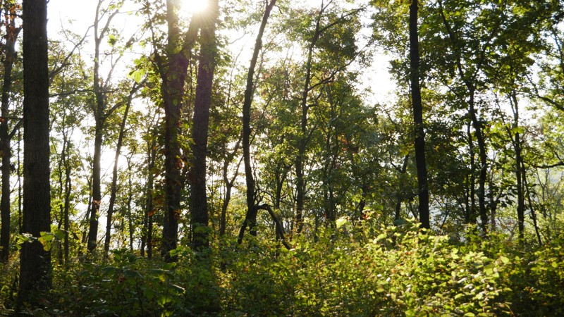
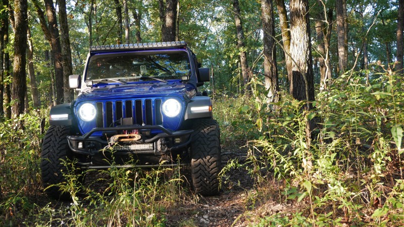
1050 Mountain Maid Road is one of those quiet little gems tucked south of Roaring River State Park, nothing extreme, but full of that Ozark charm. The drive itself is easygoing, but you’ll definitely ...

Brent
Official Crew
Rated 5/5
Open
Visited: 10/04/2025
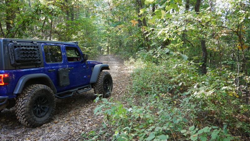
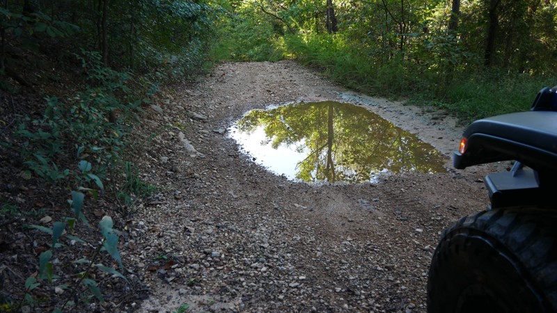
The highlight of the trail is the Radium Springs Well, where remnants of the old stone structure still stand hidden among the trees. It’s an atmospheric spot that connects today’s explorers with a for...
Brent
Official Crew
Rated 5/5
Open
Visited: 10/04/2025
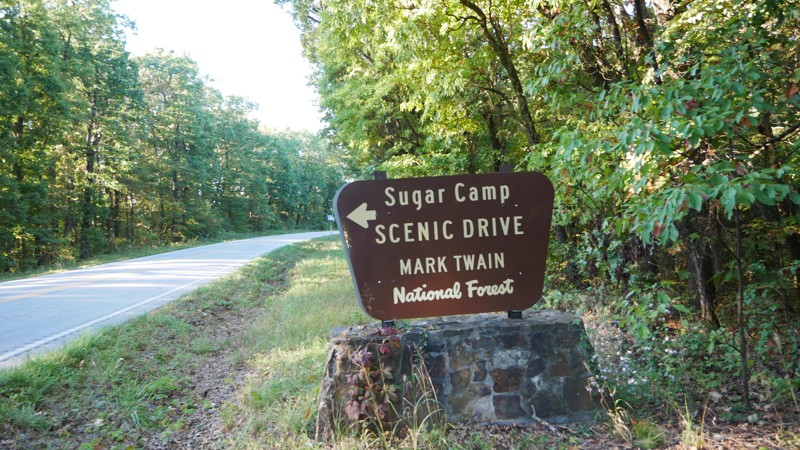
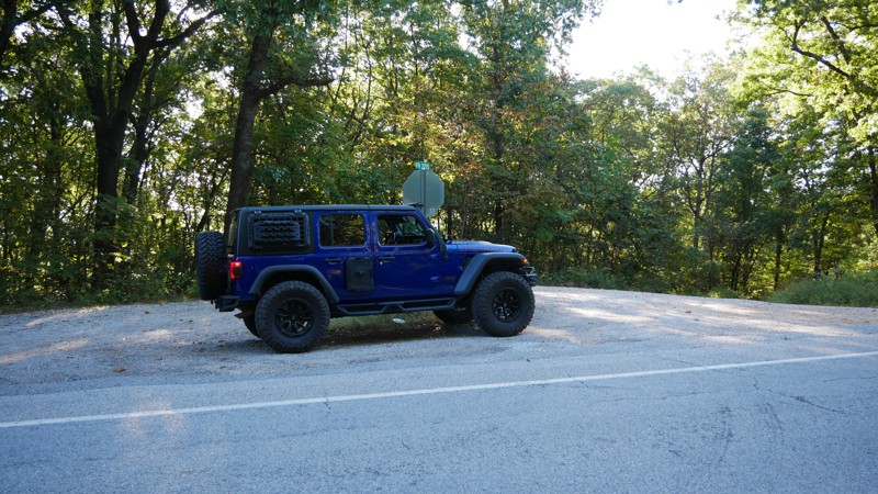
If you’re looking for a relaxed, scenic drive through the Ozarks that still leaves room for exploration, Sugar Camp Scenic Byway delivers. Tucked just south of Roaring River State Park, this gravel ro...
Brent
Official Crew
No Rating
Open
Visited: 05/16/2025
According to this trails management agency, the trail is likely open for the season.
You can reach out to the agency for more details.
Be sure to leave us a report and let us know if...
Trails Offroad
Official Crew
No Rating
Seasonal Closure
Visited: 03/31/2025
According to this trails management agency, the trail is likely closed for the season.
You can reach out to the agency for more details.
Be sure to leave us a report and let us know ...
Trails Offroad
Official Crew
Open
Visited: 03/31/2025
According to this trails management agency, the trail is likely open for the season.
You can reach out to the agency for more details.
Be sure to leave us a report and let us know if...
Trails Offroad
Official Crew
Open
Visited: 03/31/2025
According to this trails management agency, the trail is likely open for the season.
You can reach out to the agency for more details.
Be sure to leave us a report and let us know if...
Trails Offroad
Official Crew
Open
Visited: 03/31/2025
According to this trails management agency, the trail is likely open for the season.
You can reach out to the agency for more details.
Be sure to leave us a report and let us know if...
Trails Offroad
Official Crew
Open
Visited: 03/31/2025
According to this trails management agency, the trail is likely open for the season.
You can reach out to the agency for more details.
Be sure to leave us a report and let us know if...
Trails Offroad
Official Crew
Rated 5/5
Open
Visited: 03/26/2025
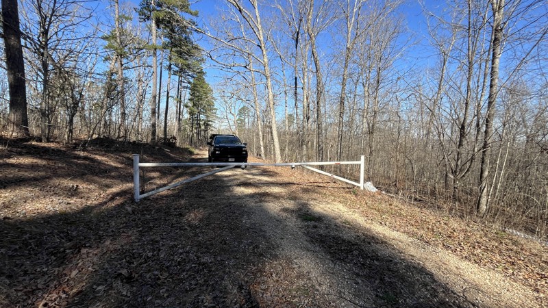
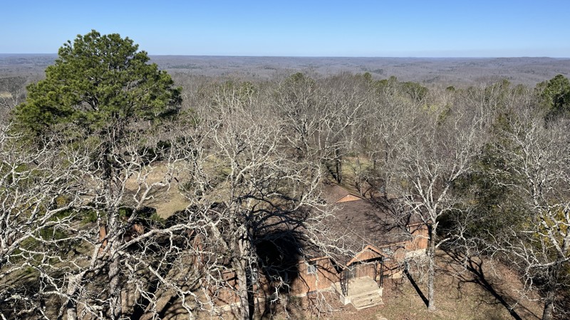
If you are in the area, this is a great place to visit! The views are amazing making it worth the time to check out. There were a few spots with downed trees and tree branches that had been cleared al...
Shayne Danielson
Official Crew
Rated 4/5
Open
Visited: 03/25/2025
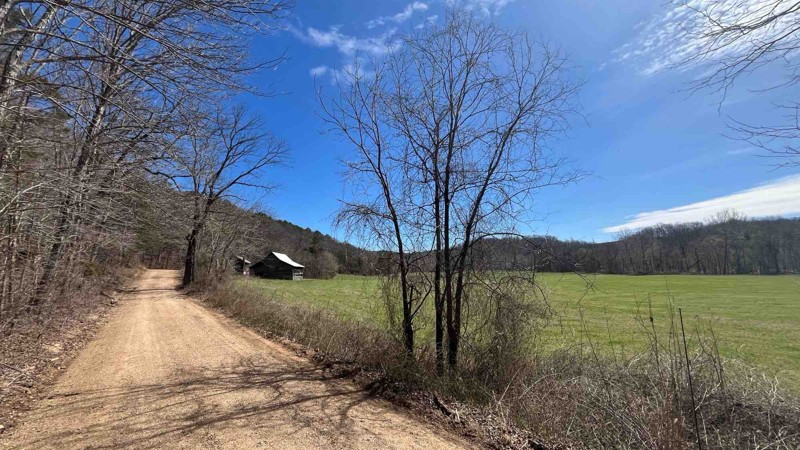
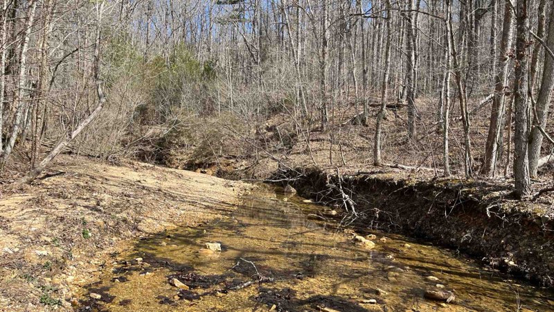
I did a patrol of the trail and took a few more photos. It was an easy drive and all the water crossings were uneventful because the water levels were pretty low.
Shayne Danielson
Official Crew
Rated 5/5
Open
Visited: 03/25/2025
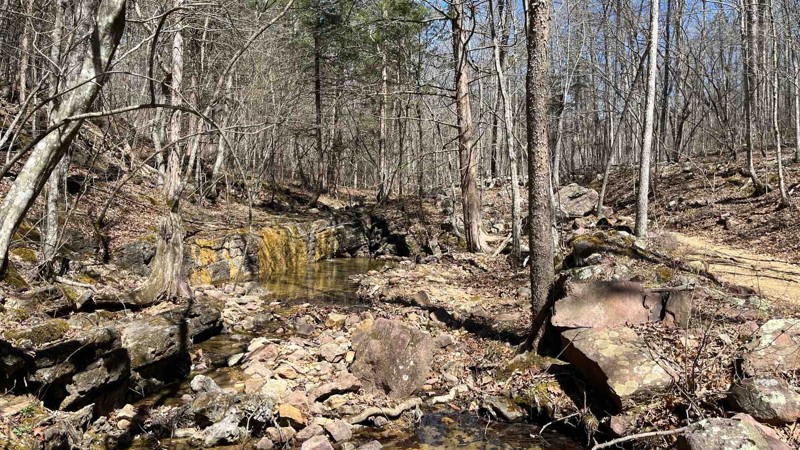
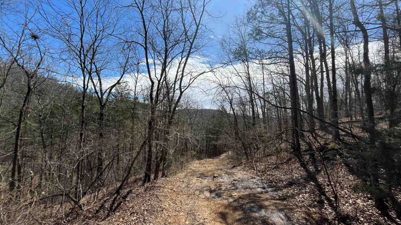
I did a patrol of P-235 to check the conditions of the trail and to add some photos of Colwil Lake. The water crossing at Blair Creek was 12” deep and had plenty of loose rock. This is where you will ...
Shayne Danielson
Official Crew
Rated 3/5
Open
Visited: 03/25/2025
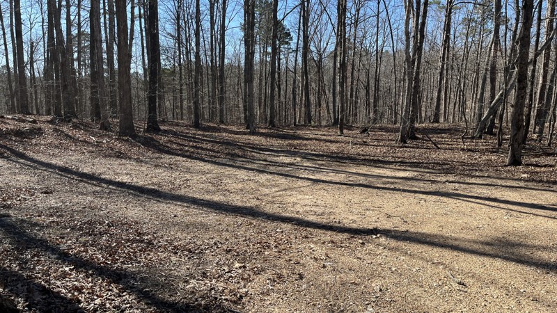
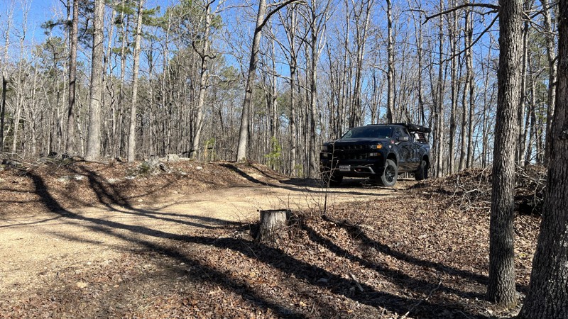
If you are looking for a good forest drive, this is the trail for you. Glimpses of the valley below with the Current River and Big Creek can be seen through the trees in places. There has been a decen...
Shayne Danielson
Official Crew
Rated 5/5
Open
Visited: 03/25/2025
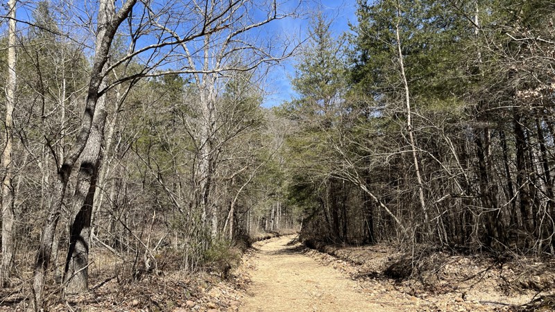
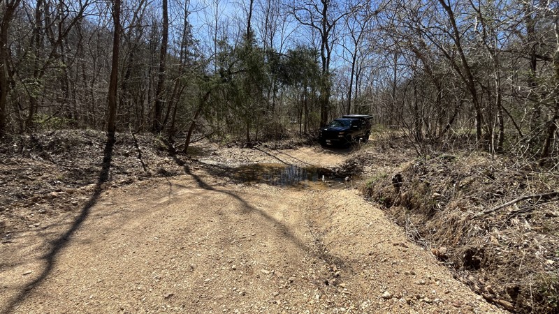
I enjoyed the trail for sure with the best parts being the water crossings in the valley. There hasn't been much rain lately which made the water crossings uneventful. If there has been a good amount ...
Shayne Danielson
Official Crew
Rated 5/5
Open
Visited: 03/25/2025
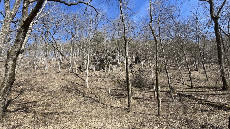
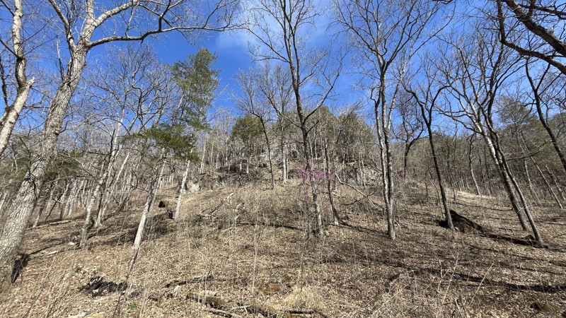
Blue Spring did not disappoint! The signs stating steep grade were absolutely correct. The cliffs were an unexpected highlight along the drive. The walking trail to get to Blue Spring is short with so...
Shayne Danielson
Official Crew
Open
Visited: 03/07/2025
Park is open for the season.


Ryan Boudreau
Official Crew
Open
Visited: 03/07/2025
Park is open for the season.
Ryan Boudreau
Official Crew
Open
Visited: 03/07/2025
Park is open for the season.
Ryan Boudreau
Official Crew
Open
Visited: 03/07/2025
Park is open for the season.
Ryan Boudreau
Official Crew
Open
Visited: 03/07/2025
Park is open for the season.

Ryan Boudreau
Official Crew
Open
Visited: 03/07/2025
Park is open for the season.
Ryan Boudreau
Official Crew
Most Popular

Updated: 10/22/2025
Sugar Camp Road
Seligman, Missouri
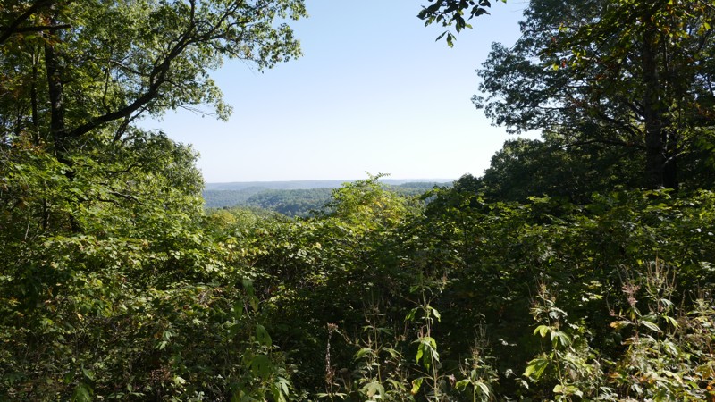
Sugar Camp Scenic Byway is a picturesque gravel road south of Roaring River State Park in the Mark Twain National Forest. This scenic drive winds through the rolling Ozark hills, offering peaceful solitude and sweeping views on both sides of the ridge.
The byway consists primarily of well-maintained gravel, suitable for any vehicle. Numerous side trails branch off the main road, inviting additional exploration for those looking to wander deeper into the forest. The route’s gentle curves and gradual grades make it an enjoyable and relaxed drive through the heart of the Ozarks. The road can be washboarded after rain.
Primitive campsites can be found along the roadside, many shaded by oak and pine with easy pull-offs for overlanders or tent campers. Several overlooks along the ridgeline offer excellent valley views, making them ideal for a quick stop, a photo, or a quiet lunch with a stunning view.
Updated: 03/28/2025
CR 19-250
Sinkin, Missouri
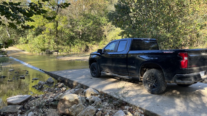
County Road 19-250 is an easy drive through Roger Pryor Pioneer Back Country. There are good descents and climbs along the length of the road, with several side trails and camping to check out. There are a few creek crossings, so be mindful of the weather and time of year with water levels. The last little bit of the west end of the road is concrete, where there is access to Echo Bluff State Park and Highway 19.
Updated: 10/15/2024
Pigeon Roost Road
Belgrade, Missouri
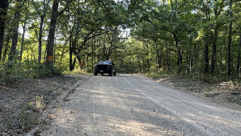
Pigeon Roost Road goes between Missouri State Highway 8 and State Highway P within the Mark Twain National Forest. The road generally travels on a ridge and is an easy drive. There is nothing technical about the road itself. It serves as a great access road to several side trails and lakes in the area. On the western end, the Ozark Trail crosses the road a couple of times and parallels it. Both ends have pavement to start with before transitioning to gravel. There are a few established campsites, along with some clearings from logging activities. Thick forest prevents views out for the most part aside from a few logging areas.
Updated: 09/10/2026
Rattler - Southern Missouri Off-Road Ranch
Seymour, Missouri
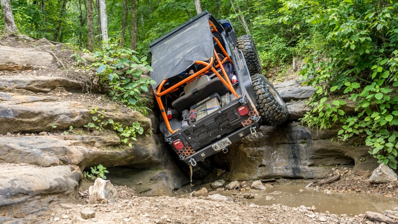
Traveling between Rocker Knocker and Backwoods Road, Rattler is named after the very first obstacle encountered on the trail, a gnarly, bowled, and smoothed 8-foot limestone wall. This trail can be run in either direction, but uphill from north to south is generally preferred. The best line for conquering the waterfall depends on your vehicle's width and how far your tires stick out from your vehicle's body. Generally, keeping the passenger tire in the crack most of the way up works but can result in body damage to fenders and rock sliders. The first obstacle offers a bypass, but it is a 10-foot stair-stepping wall. After the waterfall, a steep and loose bouldery climb awaits with several more 2-foot ledges. This trail is best for highly modified vehicles with large tires, lockers, body armor, and a winch. Rollovers and body damage are highly likely.
Updated: 10/15/2024
CR 19-203
Eminence, Missouri
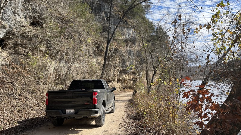
County Road 19-203 is an easy route weaving its way through the Ozark National Scenic Riverways for the most part. The trail starts just outside of Eminence, Missouri, off Highway 19, where it follows alongside the Jacks Fork River and ultimately ends at the Current River. There are great campsites, river views, and cliffs along the route. Connecting roads along the way offers options to explore other parts of the countryside. It is worth the time to check out!
Updated: 11/20/2025
Radium Springs
Eagle Rock, Missouri
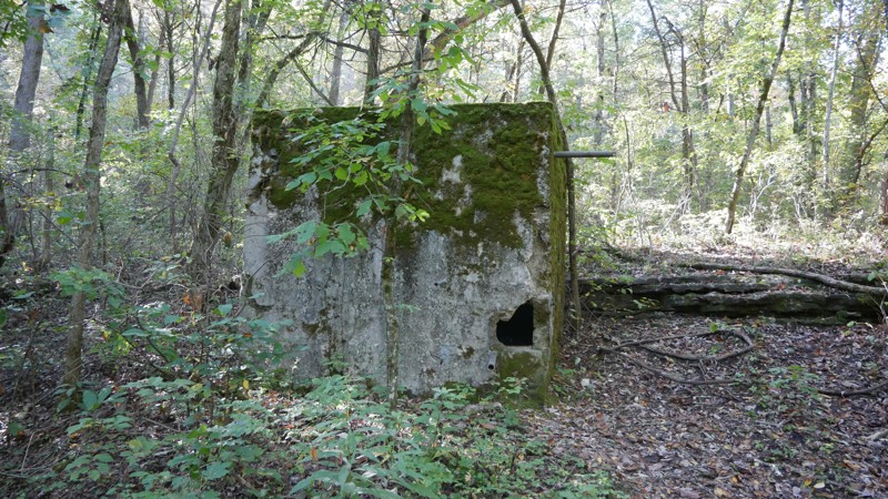
Located just south of Roaring River State Park, Radium Springs Trail winds deep into the Ozark hills. It takes its name from the historic Radium Springs, a relic of the early 1900s when mineral waters were believed to have healing powers. The stone well structure still stands today, offering a glimpse into Ozark history for those willing to tackle the rugged terrain to reach it.
This backcountry route features rocky climbs, steep grades, and occasional washouts from seasonal runoff. Expect tight tree lines and heavy overgrowth; full-size rigs will likely collect a few pinstripes along the way. Several sections require careful tire placement and steady throttle control, especially when conditions are wet.
A high-clearance 4x4 with quality tires is strongly recommended for safe travel and a rewarding experience through one of the Ozarks’ hidden gems.
Updated: 10/15/2024
MDC-350
Ink, Missouri
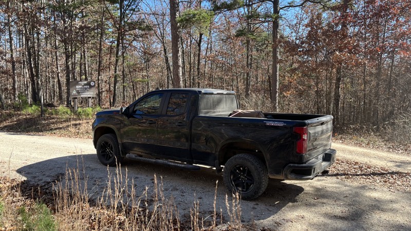
MDC-350 travels through the middle of the Sunklands Conservation Area. It is an easy trail with several side roads to explore. Campsites are frequent in the dense trees of the forest, so it is easy to find a secluded spot. While the route is primarily on a ridge, it is hard to see much due to the trees. If you want to get out in the middle of a forest, look no further!
Updated: 10/15/2024
CR 433
Dillard, Missouri
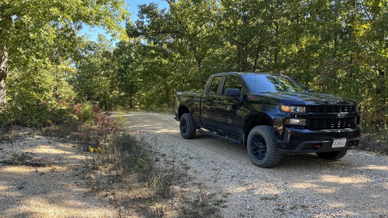
CR 433 is an easy drive through the Mark Twain National Forest. There are campsites along the road, although most are on the side trails. The one pictured had not been used in quite some time. Overall, the route serves as a good connector to other roads in the area, with the southern end stopping at State Highway 32.
Updated: 10/15/2024
Road 2220
Midridge, Missouri
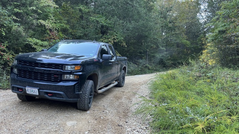
Road 2220 is an easy drive through Roger Pryor Pioneer Back Country. For the most part, the road is on a ridge the whole way. The west end drops into a valley to connect with two other roads. There are several side trails and camping to check out. It is worth checking out to explore the area.
Updated: 10/15/2024
Marsh Creek
Minimum, Missouri
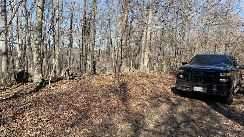
Marsh Creek, CR 2120, offers an easy ridgeline drive through the Mark Twain National Forest. There are side trails to check out, and occasionally, views through the trees will give a good glimpse into the valley below to the north. At the junction of Marsh Creek Spur D (2120D), the rest of the trail is noticeably more rugged, tight, and not well-traveled. Expect pin striping. There are several established sites of varying sizes. A large, flat campsite sits near the end of the trail.
Updated: 10/15/2024
CR P-159
Low Wassie, Missouri
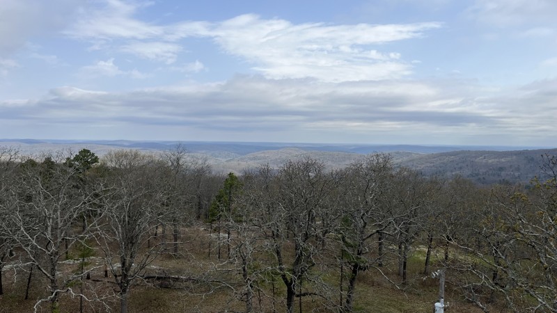
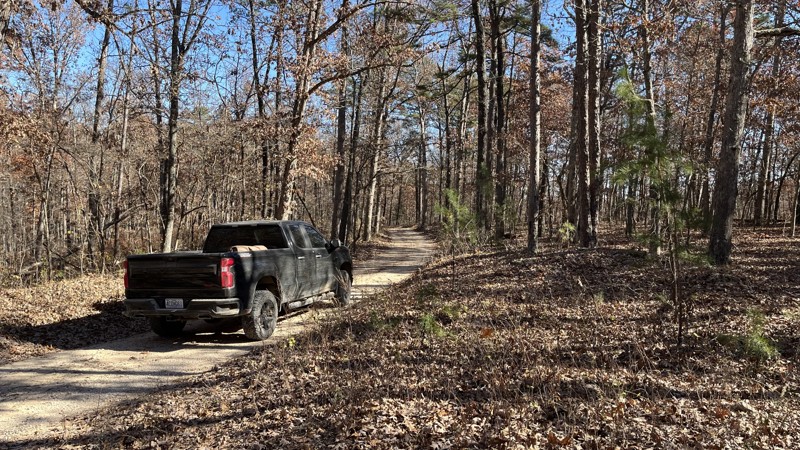
County Road P-159 offers a great way to see the sights of the Peck Ranch Conservation Area. Aside from shallow water crossings, the trail is not a challenge. Peck Ranch Conservation Area is home to Missouri's wild elk population and offers various hunting activities, hiking, shooting, wildlife watching, and camping. Stegall Mountain on the northern end of P-159 has great views of the surrounding countryside. A gate just before the summit of the mountain is locked and has no vehicle access. A small parking lot is directly next to the gate, and a short hike to the top reveals a fire tower that is climbable almost to the top. The southern end of the track is in the Mark Twain National Forest and is close to Highway 60.
Updated: 10/15/2024
CR 19-324
Ink, Missouri
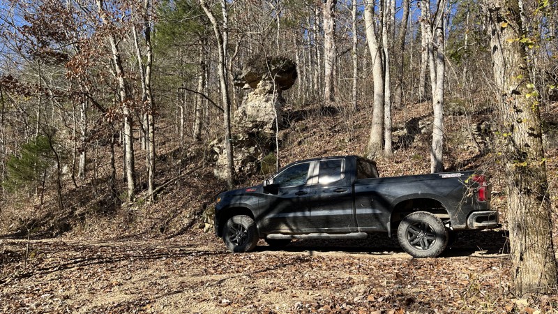
County Road 19-324 is an easy forest trail through the Sunklands Conservation Area and Ozark National Scenic Riverways. The majority of the route travels on the top of a ridge, while the eastern end drops down into the valley and connects to Highway 19. There are campsites and side trails to explore. Much of the views are obscured because of the dense trees. Round Spring and Echo Bluff State Park are close by, so there is plenty to check out in the area.
Updated: 10/15/2024
CR 106-308
Eminence, Missouri
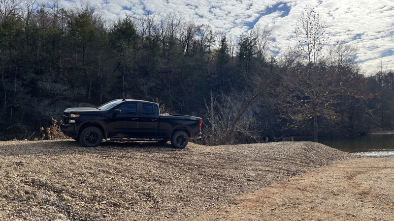
County Road 106-308 parallels the Jacks Fork River and is an easy trail. The eastern half of the route travels through private property. The western half transitions into the Ozark National Scenic Riverways and is the better part of the road. Cliffs, rock formations, small water crossings, fabulous river views, and campsites are common directly alongside the river. The trail's western end has Alley Spring, hiking along the rock outcroppings and historic buildings, including Alley Mill, Alley General Store, and a schoolhouse. Check out this route and the surrounding area!
Updated: 05/21/2025
CR 224
Venice, Missouri
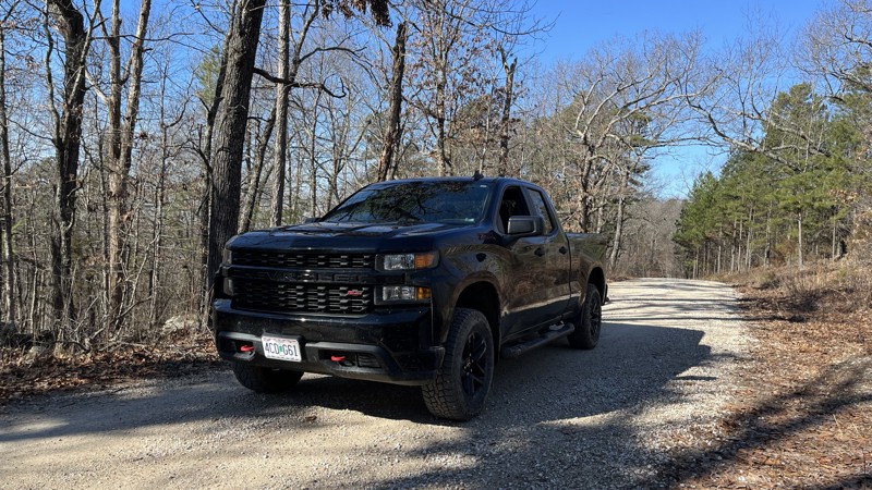
County Road 224 starts in the Angeline Conservation Area and transitions to the Ozark National Scenic Riverways, ending at Jerktail Landing on the Current River. The easy gravel road starts on a ridge line and then drops into the valley. At the end of the trail are two camping options. The first is a primitive campground with tables and fire rings, or there are several areas on the large gravel bar to set up camp. There is also a vault toilet close by. A large cliff on the far side of the river makes for a great view. There is also a boat ramp and crystal-clear water that is pretty deep in sections. If you are looking for a great place to check out, look no further!
Updated: 10/15/2024
Shepard Cutoff
Banner, Missouri
County Road 2228 offers an easy drive through the Mark Twain National Forest. At a couple of points, it borders the Bell Mountain wilderness area. Camping, hiking, and side trails are scattered along the trail, giving opportunities to explore the area. The road is not technical, as it is a graded gravel road. The trail also serves as a good connector road to other surrounding locations of interest.
Updated: 09/10/2026
Timber Lane Spur B
Berryman, Missouri
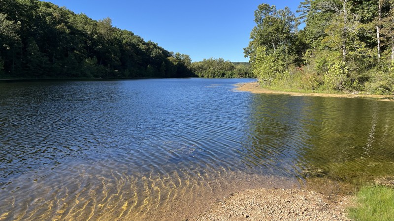
The purpose of Timber Lane Spur B is to access Timberline Lake. There is a fairly steep drop down to the lake itself that is loose gravel. Aside from the loose gravel with the hill, nothing is challenging about the trail. The lake has a boat ramp, a small campsite, and a turnaround. If you are looking for peace and quiet, this spot is for you. It offers an excellent fishing and boating opportunity and is worth checking out!
Updated: 08/11/2026
Reader Hollow
Minimum, Missouri
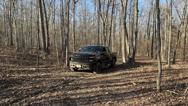
Reader Hollow, FR 2155, is a seasonal, out-and-back trail north of Crane Lake in the Mark Twain National Forest. At the beginning, a gentle hill climb has been rutted out. Because of this, if the trail is wet, it will be challenging to get to the top. There are several areas with puddles that are not very deep. Before reaching the creek, a downhill portion is rutted out worse than the beginning. 4WD will make quick work of it if you take the proper line. Once at the creek and the trail starts to turn south, a gate prevents further exploration. Where the trail ends, the Marble Creek section of the Ozark Trail follows the stream south. Expect pin striping. Keep your eyes open for crystals and fossils in the creek beds!
Halfway through the trail, there is a campsite with a fire ring. Additional open areas to camp at are scattered along the trail.
Updated: 10/15/2024
Devil's Well Road
Shannondale, Missouri
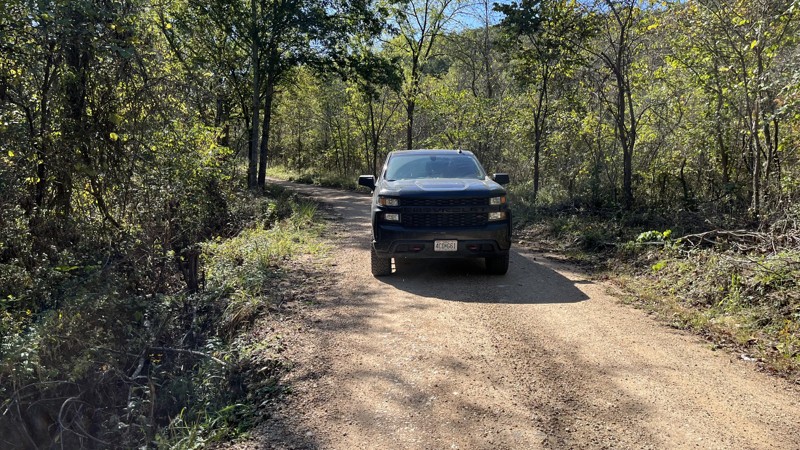
Devil's Well Road is an easy, out-and-back drive directly off State Highway KK. The area is part of the Ozark National Scenic Riverway and is for day use only. After a descent, the road dead ends with a parking area. There is a small pond, clearing, and a hiking path to visit the Devil's Well, a geologic feature with an underground water source. There is also the Cave Spring Loop Trail, about five miles long, and Cave Spring at the edge of the Current River.
Updated: 10/15/2024
CR 106-425
Alley Spring, Missouri
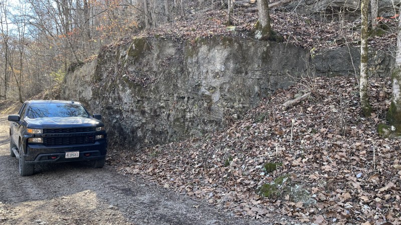
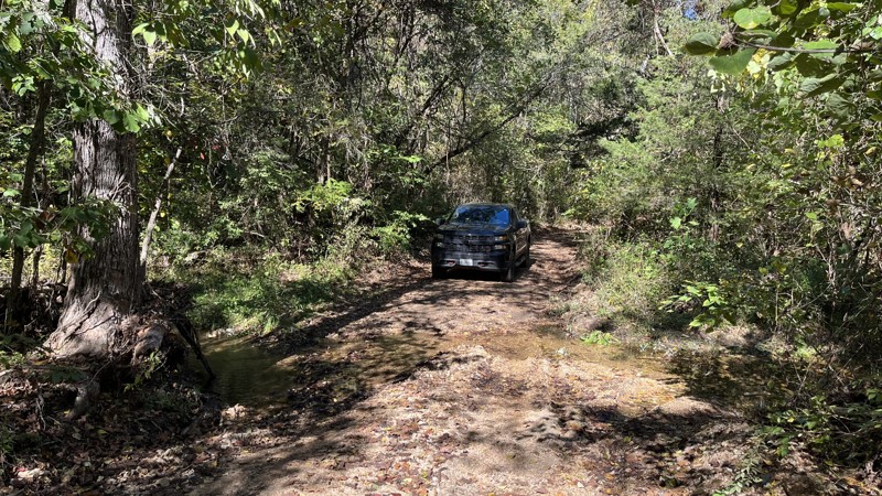
County Road 106-425 starts off uneventful, leaving Highway 106, but as the trail drops into the valley and enters the Ozark National Scenic Riverways, it gets amazing. Just before the Jacks Fork River is a large campground with several sites. Once across the creek, there is no shortage of campsites, large cliffs on either side of the valley, and a ton of great views to check out. This trail has a little bit of everything to check out and is absolutely worth seeing!
There is nothing technical about the route aside from the water crossing and water from the cliff side, making it muddy in spots.
Updated: 10/15/2024
CR 235-C
Owls Bend, Missouri
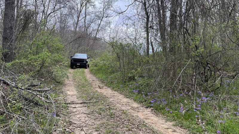
CR 235-C is an easy out-and-back trail. After a good descent and a small water crossing, the trail ends at the bank of the Current River, part of the Ozark National Scenic Riverway. The prize at the end are great campsites on the gravel bar next to Bee Bluff. It is worth checking this trail out as an excellent camping destination. Due to river conditions, the gravel bar can change and is loose, so use caution while driving along the shore.
Updated: 10/15/2024
Lone Star School
Bull Run Camp, Missouri
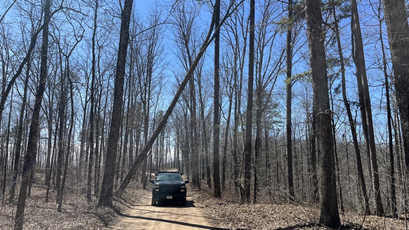
Lone Star School trail is located within the Mark Twain National Forest and offers an easy trail experience to check out the area. The trail stays mainly on the ridge line with two small water crossings before dropping down into the valley of the Black River. At the junction with 3824B (Lone Bee), the trail noticeably changes into a less used two-track trail that is rutted, muddy, and overgrown. Most of the vehicle traffic continues to Lone Bee versus Lone Star School. There are campsites and viewpoints along the trail. Overall, it is a good road to access to the Black River.
Updated: 04/01/2025
CR 106-B
Owls Bend, Missouri
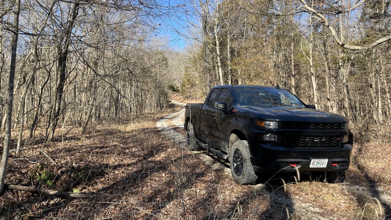
County Road 106-B offers a leisurely drive through the Roger Pryor Pioneer Backcountry and the Rocky Creek Conservation Area. Multiple small creek crossings, camping opportunities, and dense forest make it an engaging trail to traverse. While the road is a gravel surface, some creek crossings along the western half of the trail have deposited rocks up to softball size. These larger rocks are often pushed to the sides of the trail but can easily move into your path with stronger water flows. Beware of downed trees and tree branches on the trail. The west end begins in Gang and is private property on either side of the road. Several small water crossings are present in the valley along with the Ozark Trail - Blair Creek Section. Once up on the ridge, the trail opens up a bit where multiple large, well-established, dispersed campsites can be found on public land. The campsites are right off the road and can fit multiple vehicles with plenty of shade on some, while others are wide open.
Updated: 10/15/2024
Logan Mountain
Banner, Missouri
Logan Mountain Road follows the top of a ridge line nearly the entire length of the trail. There are good views between the trees of the valley below. There is a small creek crossing, loose gravel, and mud puddles. At the beginning and end are two campsites with fire rings. Where the trail formally ends, the track keeps going. The trail to the top of Johnson Mountain has a closed and locked gate preventing vehicles from going to the top. It is roughly a two-mile hike to the summit of Johnson Mountain.
Updated: 05/20/2026
Creek 131C
Glover, Missouri
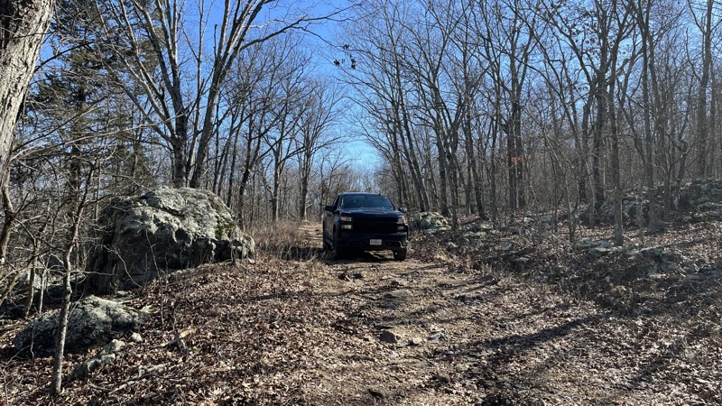
Creek 131C is a short out-and-back trail in the Mark Twain National Forest. The trail has washouts, ruts, and puddles, making it challenging, especially if wet. 4WD can easily get through these spots. The drive might be quick, but the campsite and rock outcroppings on the top are absolutely worth checking out! The views to the northwest allow you to see quite a distance. Large rock outcroppings offer plenty of climbing and hiking in the immediate area. Put this one on your list to visit!

Upgrade your Membership
Unlock all of the details on every Trail Guide and Scout Route.
Start a 7-day Free TrialCommunity
Partners

