


By clicking "ACCEPT", you agree to be the terms and conditions of each policy linked to above. You also agree to the storing of cookies on your device to facilitate the operation and functionality of our site, enhance and customize your user experience, and to analyze how our site is used.
Idaho Off-Road Trails
63
Total Trail Guides 60

644
Detailed Waypoints 302
Try a Free 7-Day Trial and unlock it all
Start a Free Trial Most Recent Trail Reviews
No Rating
Open
Visited: 09/19/2026
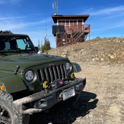
Fun drive, lots of dirt bikes and a few BDR Moto riders. Drove it in reverse direction.

Kim Richards
No Rating
Open
Visited: 09/19/2026
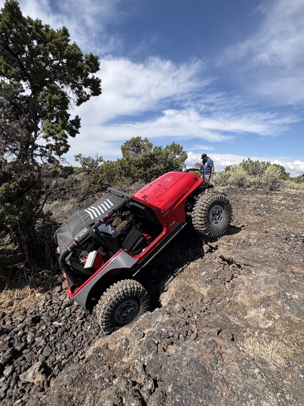
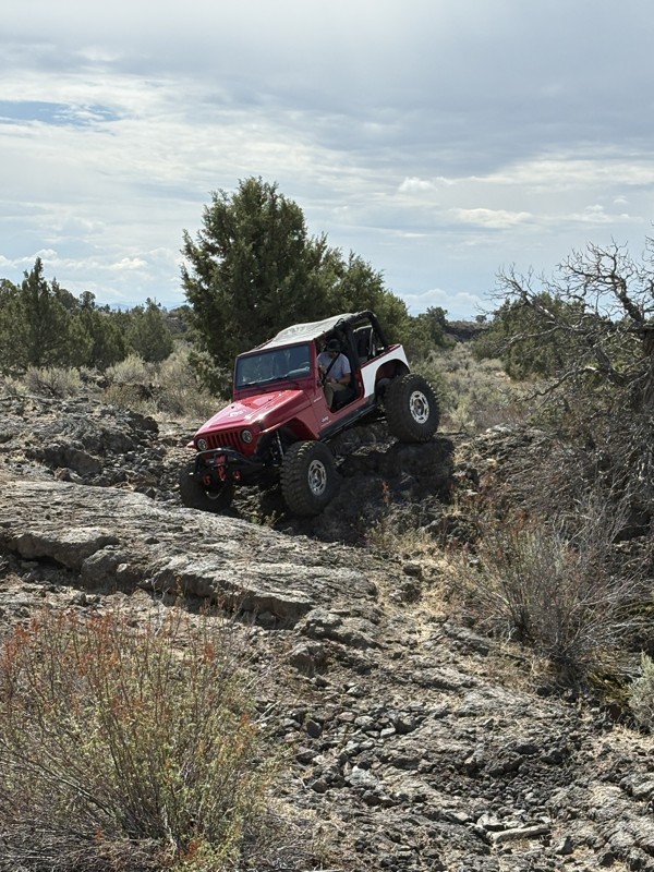
This trail was a great time. It is very unique, ive never been on a trail like it. the lava rock has plenty of traction and is pretty nasty on tires. But all in all I would recommend it to be done at ...
JP
Jared Pyne
Rated 3/5
Open
Visited: 09/15/2026
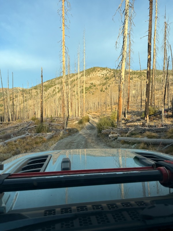
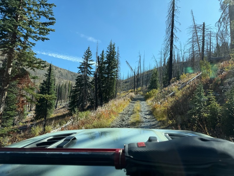
Trail consists of mostly narrow 2-track. Softball to soccer ball sized rocks. Slow going. Most of this forestland experienced fire in the past few years and is still recovering. Pulled a 9’ off-road t...
JH
Jason Holmes
No Rating
Open
Visited: 09/05/2026
Been going here for 57 years and the road keeps getting easier and easier. Sedans can make it.
BC
Bruce Chadwick
Rated 4/5
Open
Visited: 09/01/2026
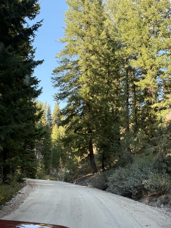
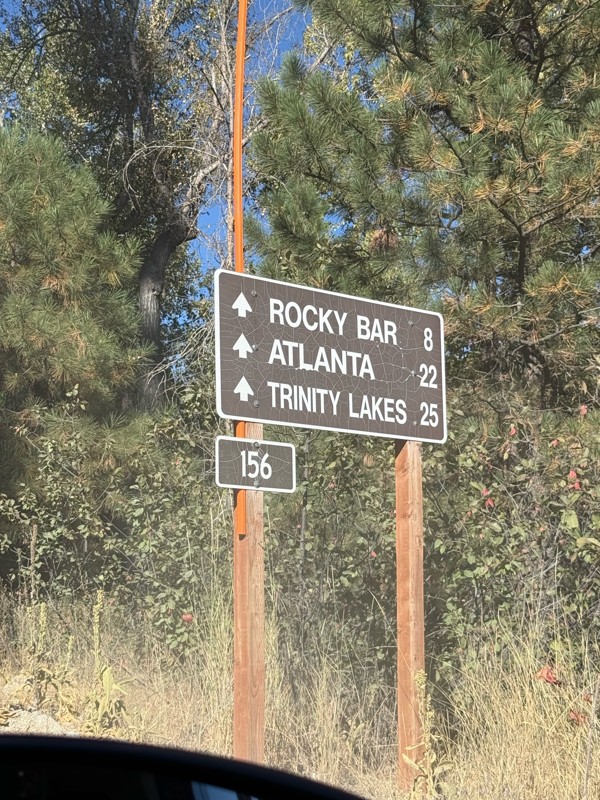
Easy trail that connects you to other great locations. Any vehicle could do this one.
PS
Paul Smith
Rated 4/5
Open
Visited: 09/01/2026
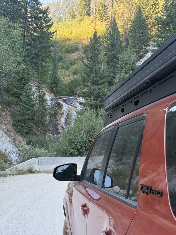
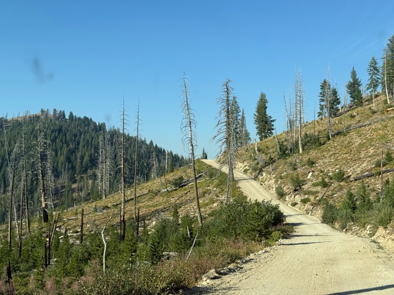
Pretty easy trail although there are some narrow spots along the way. Gets a bit bumpy and rocky as you head toward Atlanta but nothing difficult.
PS
Paul Smith
No Rating
Open
Visited: 09/01/2026
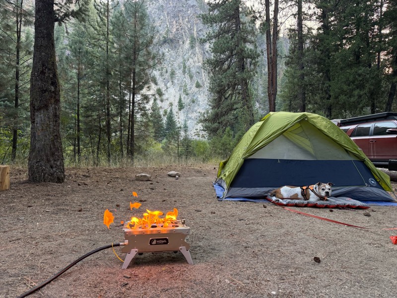
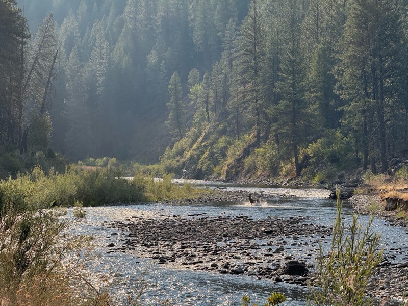
Beautiful and easy road. The smoke was wildfires was pretty bad but that can change. Any stock vehicle could do this at the moment. Campsites were all nearly empty which was a bonus.
PS
Paul Smith
Rated 3/5
Open
Visited: 08/22/2026
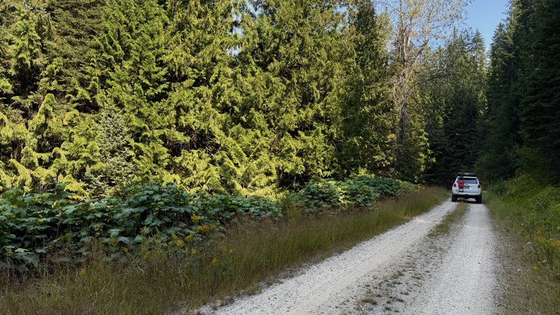
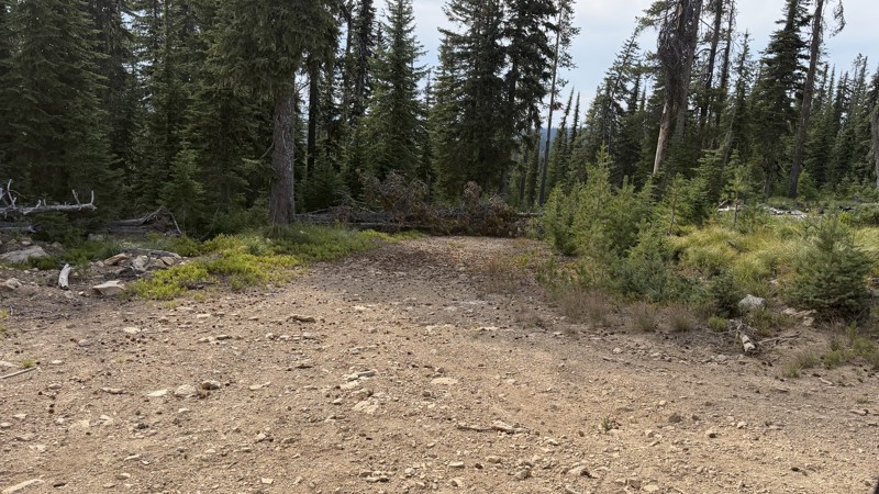
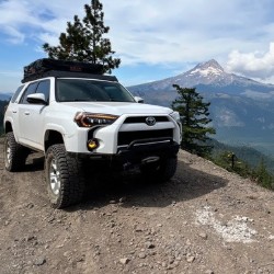
If it wasn't a very exciting trail, it still gets three stars because of how well-maintained it is. I can't even recall one single pothole the whole 4.5 miles. Otherwise, I was just using it as a conn...
Lorraine Bourget
Official Crew
Rated 3/5
Open
Visited: 08/22/2026
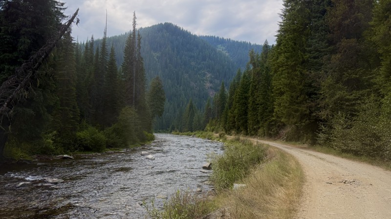
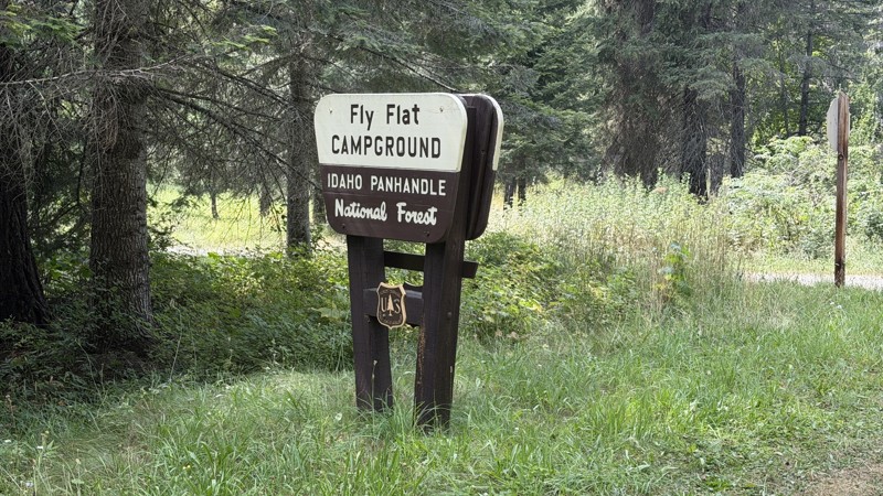
While it was a beautiful drive along the river, I'm rating this road 3 stars. Honestly, I planned my weekend around having the least amount of human contact possible but this section of my loop had ot...
Lorraine Bourget
Official Crew
Rated 5/5
Open
Visited: 08/22/2026
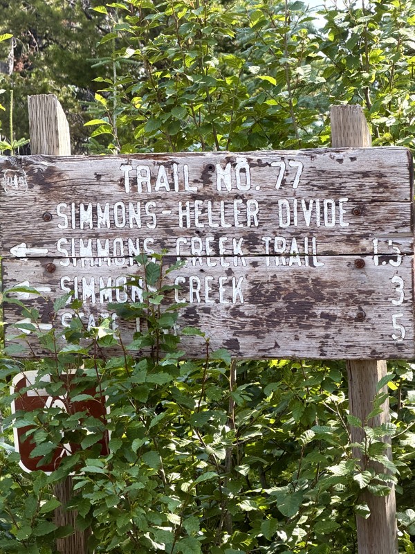
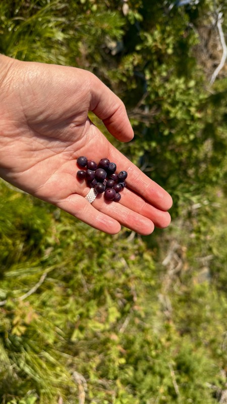
This trail holds a somewhat sentimental value to me. I randomly stumbled across it a couple of years ago when searching for somewhere to use my shower at the top of a mountain. Little did I know I wou...
Lorraine Bourget
Official Crew
Rated 4/5
Open
Visited: 08/21/2026
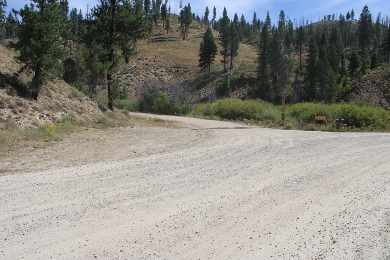
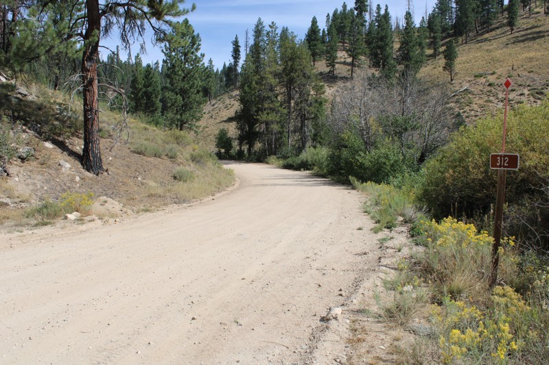
Pike's Fork Road is a spectacular drive into the heart of the Boise National Forest! One of the many dispersed campsites along its length makes an excellent destination for one night on a multi-night...

Bill Ward
Official Crew
Rated 5/5
Open
Visited: 08/16/2026
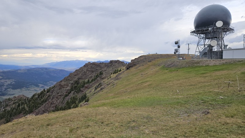
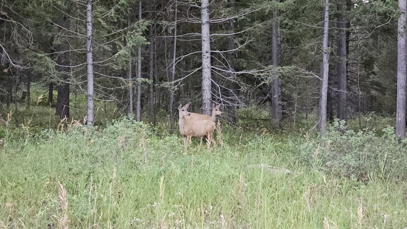
One person can give a group a bad name, especially in the side-by-side world, and that one was on the trail tonight like it was his private racetrack. Otherwise, a very peaceful and enjoyable drive. T...

Cory Wooldridge
Official Crew
Rated 5/5
Open
Visited: 08/11/2026
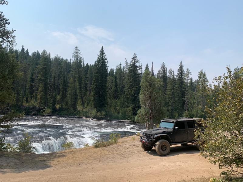
Great Jeep trail! Had fun running it and in pretty good shape. Dry and dusty with a few sections of rocks on decline/incline depending on what direction you’re going. No issues in my lifted Jeep. Not ...
JJ
Jill Jensen
No Rating
Open
Visited: 08/11/2026
Per the MVUM, the trail is seasonally open. As always, check current fire restrictions/closures before venturing out.

Trails Offroad
Official Crew
Open
Visited: 08/11/2026
Per the MVUM, the trail is seasonally open. As always, check current fire restrictions/closures before venturing out.
Trails Offroad
Official Crew
No Rating
Open
Visited: 08/11/2026
Per the MVUM, the trail is seasonally open. As always, check current fire restrictions/closures before venturing out.
Trails Offroad
Official Crew
No Rating
Open
Visited: 08/11/2026
Per the MVUM, the trail is seasonally open. As always, check current fire restrictions/closures before venturing out.
Trails Offroad
Official Crew
No Rating
Open
Visited: 08/11/2026
Per the MVUM, the trail is seasonally open. As always, check current fire restrictions/closures before venturing out.
Trails Offroad
Official Crew
No Rating
Open
Visited: 08/11/2026
Per the MVUM, the trail is seasonally open. As always, check current fire restrictions/closures before venturing out.

Todd
Official Crew
No Rating
Open
Visited: 08/11/2026
Per the MVUM, the trail is seasonally open. As always, check current fire restrictions/closures before venturing out.
Todd
Official Crew
No Rating
Open
Visited: 08/11/2026
Per the MVUM, the trail is seasonally open. As always, check current fire restrictions/closures before venturing out.
Todd
Official Crew
No Rating
Open
Visited: 08/11/2026
Per the MVUM, the trail is seasonally open. As always, check current fire restrictions/closures before venturing out.
Todd
Official Crew
No Rating
Open
Visited: 08/11/2026
Per the MVUM, the trail is seasonally open. As always, check current fire restrictions/closures before venturing out.
Todd
Official Crew
No Rating
Open
Visited: 08/11/2026
Per the MVUM, the trail is seasonally open. As always, check current fire restrictions/closures before venturing out.
Todd
Official Crew
No Rating
Open
Visited: 08/11/2026
Per the MVUM, the trail is seasonally open. As always, check current fire restrictions/closures before venturing out.
Todd
Official Crew
No Rating
Open
Visited: 08/11/2026
Per the MVUM, the trail is seasonally open. As always, check current fire restrictions/closures before venturing out.
Todd
Official Crew
No Rating
Open
Visited: 08/11/2026
Per the MVUM, the trail is seasonally open. As always, check current fire restrictions/closures before venturing out.
Todd
Official Crew
No Rating
Open
Visited: 08/11/2026
Per the MVUM, the trail is seasonally open. As always, check current fire restrictions/closures before venturing out.
Trails Offroad
Official Crew
No Rating
Open
Visited: 08/11/2026
Per the MVUM, the trail is seasonally open. As always, check current fire restrictions/closures before venturing out.
Trails Offroad
Official Crew
No Rating
Open
Visited: 08/11/2026
Per the MVUM, the trail is seasonally open. As always, check current fire restrictions/closures before venturing out.
Trails Offroad
Official Crew
No Rating
Open
Visited: 08/11/2026
Per the MVUM, the trail is seasonally open. As always, check current fire restrictions/closures before venturing out.
Trails Offroad
Official Crew
No Rating
Open
Visited: 08/11/2026
Per the MVUM, the trail is seasonally open. As always, check current fire restrictions/closures before venturing out.
Trails Offroad
Official Crew
No Rating
Open
Visited: 08/11/2026
Per the MVUM, the trail is seasonally open. As always, check current fire restrictions/closures before venturing out.
Trails Offroad
Official Crew
No Rating
Open
Visited: 08/11/2026
Per the MVUM, the trail is seasonally open. As always, check current fire restrictions/closures before venturing out.
Trails Offroad
Official Crew
No Rating
Open
Visited: 08/11/2026
Per the MVUM, the trail is seasonally open. As always, check current fire restrictions/closures before venturing out.
Trails Offroad
Official Crew
No Rating
Open
Visited: 08/11/2026
Per the MVUM, the trail is seasonally open. As always, check current fire restrictions/closures before venturing out.
Trails Offroad
Official Crew
No Rating
Open
Visited: 08/11/2026
Per the MVUM, the trail is seasonally open. As always, check current fire restrictions/closures before venturing out.
Trails Offroad
Official Crew
No Rating
Open
Visited: 08/11/2026
Per the MVUM, the trail is seasonally open. As always, check current fire restrictions/closures before venturing out.
Trails Offroad
Official Crew
No Rating
Open
Visited: 08/11/2026
Per the MVUM, the trail is seasonally open. As always, check current fire restrictions/closures before venturing out.
Trails Offroad
Official Crew
No Rating
Open
Visited: 08/11/2026
Per the MVUM, the trail is seasonally open. As always, check current fire restrictions/closures before venturing out.
Trails Offroad
Official Crew
No Rating
Open
Visited: 08/11/2026
Per the MVUM, the trail is seasonally open. As always, check current fire restrictions/closures before venturing out.
Trails Offroad
Official Crew
No Rating
Open
Visited: 08/11/2026
Per the MVUM, the trail is seasonally open. As always, check current fire restrictions/closures before venturing out.
Trails Offroad
Official Crew
No Rating
Open
Visited: 08/11/2026
Per the MVUM, the trail is seasonally open. As always, check current fire restrictions/closures before venturing out.
Trails Offroad
Official Crew
No Rating
Open
Visited: 08/11/2026
Per the MVUM, the trail is seasonally open. As always, check current fire restrictions/closures before venturing out.
Trails Offroad
Official Crew
No Rating
Open
Visited: 08/11/2026
Per the MVUM, the trail is seasonally open. As always, check current fire restrictions/closures before venturing out.
Trails Offroad
Official Crew
No Rating
Open
Visited: 08/11/2026
Per the MVUM, the trail is seasonally open. As always, check current fire restrictions/closures before venturing out.
Trails Offroad
Official Crew
No Rating
Open
Visited: 08/11/2026
Per the MVUM, the trail is seasonally open. As always, check current fire restrictions/closures before venturing out.
Trails Offroad
Official Crew
No Rating
Open
Visited: 08/11/2026
Per the MVUM, the trail is seasonally open. As always, check current fire restrictions/closures before venturing out.
Trails Offroad
Official Crew
No Rating
Open
Visited: 08/11/2026
Per the MVUM, the trail is seasonally open. As always, check current fire restrictions/closures before venturing out.
Trails Offroad
Official Crew
No Rating
Open
Visited: 08/11/2026
Per the MVUM, the trail is seasonally open. As always, check current fire restrictions/closures before venturing out.
Trails Offroad
Official Crew
Most Popular

Updated: 09/24/2023
Magruder Corridor
Grangeville, Idaho
The Magruder Corridor Trail is a very accessible trail for most vehicles that takes you into the scenic and remote wilderness. It is on many people’s bucket list due to the fact that this is the only place in the lower 48 where you can be in the middle of 5 million acres of wilderness. There is history at every corner with plenty of information along the way and available from the ranger districts at each end. You can see first hand how a forest regrows after a burn, there have been many big forest fires over the past few decades that have swept through the area, and you get the chance to drive directly through that area. Most of the areas have a healthy regrowth already and the burnt trees offer a beautiful contrast to the greenery and wildflowers when they are blooming.

Updated: 06/21/2024
Middle Fork Road
Boise, Idaho
Middle Fork Road can be enjoyed year-round and is full of diverse scenery and natural hot springs. Plus, a gorgeous river, rushing waterfalls, beautiful rock formations, historic mining remnants, and an appealing lake make this a great trip. It ends at the historic mining town of Atlanta, which sits at the edge of the Sawtooth Wilderness and the base of the Sawtooth Mountains. The town of Atlanta is one of the most remote towns left in the Western US. You will be following water the entire time, starting with Arrowrock Reservoir and then the Middle Fork Boise River, which flows out of the Sawtooth Wilderness. It is said that there are over 80 natural hot springs along the Middle Fork River if you take the time to count them. For those who love hot springs, camping, bird watching, swimming, boating, fishing, horseback riding, snowshoeing, snowmobiling, and hiking, there are many places along this trail to do just that!

Updated: 07/15/2023
Cave Falls
Ashton, Idaho
Formed by lava flows from the Yellowstone caldera thousands of years ago, the Fall River is appropriately named after its many waterfalls. What is unique about these falls is not their height, but rather their width. Cave Falls, located within Yellowstone National Park, spans 140 feet of the river and offers breathtaking views of the upper and lower falls. And, if two waterfalls aren't enough, there is a hiking trail to Bechler Falls upstream on Bechler River. This trail offers numerous campsites, fantastic views of the Grand Tetons, and access to an isolated and less-traveled section of Yellowstone National Park.

Updated: 05/24/2024
Owyhee Uplands Backcountry Byway
Jordan Valley, Idaho
Nestled within the remote and captivating landscapes of southern Idaho and southeastern Oregon lies the Owyhee Uplands Backcountry Byway, an extraordinary route that promises a journey through pristine beauty. Stretching approximately 103 miles, this offroad trail embarks on an enchanting path rarely explored by many, guiding travelers through the picturesque Owyhee County in Idaho.
Commencing at Jordan Valley, Oregon, the trailhead beckons adventurers on a mesmerizing voyage, where vast open ranges and scenic vistas unfold before their eyes. Along this captivating route, the region's geological formations, wildlife, and rich historical significance come to life, painting a fascinating picture of the area's past. The trail shows evidence of Native American cultures and early exploration, adding depth and context to the journey.
As explorers venture deeper into the backcountry, they encounter dramatic elevations inviting challenging and exhilarating descents. Amidst this untamed beauty, the vast open plains and the majestic rugged terrain create an awe-inspiring and emotionally profound connection with nature, leaving an indelible mark on the soul.
A prominent feature of this trail is the breathtaking views of the North Fork Owyhee River Rim, surrounded by a picturesque landscape of trees, rock formations, and awe-inspiring vistas. This idyllic spot offers a perfect haven for reflection amid nature's serene embrace, inviting travelers to pause and savor the moment's tranquility.
Moreover, the Owyhee Uplands Backcountry Byway provides access to five wilderness areas: Owyhee River, North Fork Owyhee River, Pole Creek, Little Jacks Creek, and Big Jacks Creek Wildernesses. Each of these areas offers its unique blend of natural wonders, contributing to the allure and diversity of this extraordinary trail.
For adventurers seeking a truly immersive experience in the wild and unspoiled beauty of the Owyhee Uplands, the Backcountry Byway awaits, promising an unforgettable expedition through a land of remarkable grandeur and timeless allure.


Updated: 05/01/2024
Nip and Tuck Road
Open
/
Stanley, Idaho/
4.89 miles/
About 30 minutes
This is a wonderful little dirt trail that takes you off of Highway 21, bypasses the summer crowds in the town of Stanley, and offers amazing, expansive views of the Sawtooth Mountains. Nip and Tuck is part of the Sawtooth National Recreation Area that is managed as part of the Sawtooth National Forest and covers over 730,864 acres. This trail is a popular spot for dry-camping, hikers, and bikers. You feel you have just enough space to get away from the crowds and traffic of town and highway. On one side, you see rolling grassland hills with blooming wildflowers in the summer, and on the opposite side, you can see the Sawtooths peaking in and out of views. This trail is proof that your next adventure might just be one road away that is less traveled.

Updated: 07/23/2023
West Blacks Creek Road
Boise, Idaho
If you are looking for an easy, leisurely, scenic drive not far from Boise, then this is the perfect road for you! West Blacks Creek Road is located in the Boise National Forest, has wonderful views of volcanic canyons winding along the South Fork Boise River, and hidden waterfalls come from streams out of the snowcapped mountains flowing into the river. It can take less than 30 minutes to hit the trailhead from Boise. It is an excellent trail for birdwatching as raptors such as hawks, and eagles like to nest along the rocky canyons, surf the wind streams and hunt along the South Fork River. There are also numerous hiking, camping, and has trailhead accesses to the Danskin Mountain OHV Trail System. It ends in the small town of Prairie.
Updated: 08/06/2025
Lost Trail
Open
/
Melba, Idaho/
7.46 miles/
About 3 hours
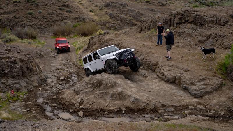
Lost Trail is a favorite among locals for testing new rigs or fresh upgrades. It offers a mix of technical challenges and easier bypasses, making it a great group-ride trail. The ability to pick and choose the obstacles you complete is a luxury not found on many trails. For those who typically think of snow-capped mountains in Idaho, the high desert landscape of the Owyhees will be a different experience.
If you enjoy multiple forms of motorized recreation, Lost Trail and the surrounding area are shared-use. Full-size, under 50", and single-track trails create a large network that spiders across the hills and valleys. Because of this, it is imperative that drivers keep an eye out for cross traffic throughout the trail and practice responsible trail etiquette.
Whether you're breaking in a new build or just looking for a fun day on the rocks, The Lost Trail is a great way to experience Idaho off-roading.

Updated: 04/21/2024
Boise Ridge
Boise, Idaho
Bogus Basin Road ends a short way past the Boise Ridge Trailhead at the Bogus Basin Mountain Recreation Area, noted as a popular, local ski area. The trail itself is in the beautiful Boise National Forest just 30 minutes from Boise. The forest is over 2 million acres of spectacular beauty that you have to experience for yourself. The trail meanders southward along the main ridge east of Boise, providing panoramic 360-degree views. With the many spurs off of this trail, you can make your dispersed camping experience as remote as you like. The trail is open year-round, the only limitations would be you and your rigs ability in snow.

Updated: 08/11/2026
Boulder Creek
Cathedral Pines, Idaho
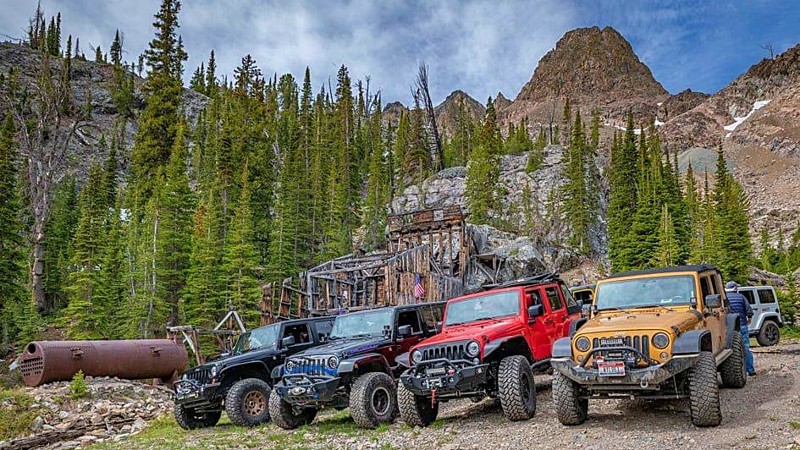
Boulder Creek Road goes to the historic abandoned mining town of Boulder City and a gorgeous secluded lake in the mountains. It includes impressive views of the forest and open areas, multiple river crossings, and many waterfalls. The trail becomes more difficult the further you go as the road transitions from dirt to a steep embankment of shale rock with a stream down the middle. Recommend this trail for more advanced off-roaders who can climb slippery, medium-size rocks; the course is single track. The decrepit city is embraced by richly colored peaks of the Boulder Mountains overlooking Sun Valley. Scattered pine trees and meadows of wildflowers and thick grasses surround the decaying cabins along the trail. The Golden Glow Mill on the hillside is one of the two centerpieces of this trail, and it is incredible to think of around 700 residents who lived by the mill in the late 1800s. Nestled above the mine is the second centerpiece, Boulder Lake, and it is a great spot to disperse camp or have a picnic lunch.
Updated: 09/23/2025
Hell's Half Acre
Open
/
Rising River, Idaho/
7.49 miles/
About 5 hours
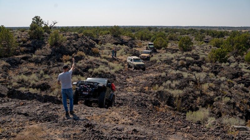
Traversing the outer bands of an ancient lava lobe created 4,100 years ago, Hell’s Half Acre is a playground of ancient lava flows that create an obstacle course unlike anything else in the continental United States. The trail winds through rugged, volcanic rock gardens, jagged ledges, and uneven shelves where precise tire placement isn’t just recommended, it’s mandatory. The basalt formations create tight, twisty channels with steep drops and abrupt climbs, often with no easy bypass. Between obstacles, the scenery is stark and dramatic. Low sagebrush flats give way to twisted junipers and lava outcrops that look frozen in time. Hell's Half Acre is slow, deliberate wheeling with plenty of chances for spotting, flex shots, and testing your rig’s articulation.
Acknowledgement: Thank you to the Snake River Offroaders Club, which supports the Hell's Half Acre trail and provides continual clean-up efforts to maintain this incredible area. Consider supporting the club at their annual Lavapalooza Ride and Rally event.

Updated: 07/15/2023
Horseshoe Lake
Ashton, Idaho
Horseshoe Lake is a popular off-road destination for camping and fishing on the outskirts of Yellowstone National Park. The lake is stocked with rainbow trout as soon as the snow melts. The lake bottom tapers off very slowly, making it a perfect spot to take the kids. The lake is deep enough for swimming and non-motorized boats. Dispersed camping is allowed right along the lakeshore, along with hiking trails into Yellowstone National Park from the camping area at the end of the trail. This area offers views of the Gand Tetons to the south and easy access to Cave Falls and the Fall River.
As the name implies, this lake is in the shape of a horseshoe. It is located near Ashton, Idaho at the edge of the Targhee National Forest, just outside of Yellowstone National Park.

Updated: 05/01/2024
Basin Butte Road
Stanley, Idaho
Located just minutes away from Stanley, Basin Butte Road is a stunning scenic trail that presents a myriad of captivating sights. Along the route, adventurers can find a historic fire lookout and an enchanting alpine lake perched at an impressive elevation exceeding 8,000 feet. The trail treats visitors to awe-inspiring vistas of the Sawtooth Mountains, with glimpses of Stanley Lake in the distance and the vast expanse of the Valley Creek plains. Once you arrive at the Historic Basin Butte Lookout, unobstructed panoramic views stretch for miles in all directions.
Continuing along the trail, Hindman Lake, an expansive 8-acre alpine lake, offers fishing, remote camping, and hiking amidst the pristine surroundings. Basin Butte Road truly showcases nature's beauty at its finest, making it a perfect choice for first-time offroaders seeking an experience beyond a flat forest service road. The blend of breathtaking scenery and various recreational options makes this trail an ideal destination for nature enthusiasts and adventure seekers.

Updated: 07/12/2024
Sehewoki'i Newenee'an Katete Butte
Emmett, Idaho
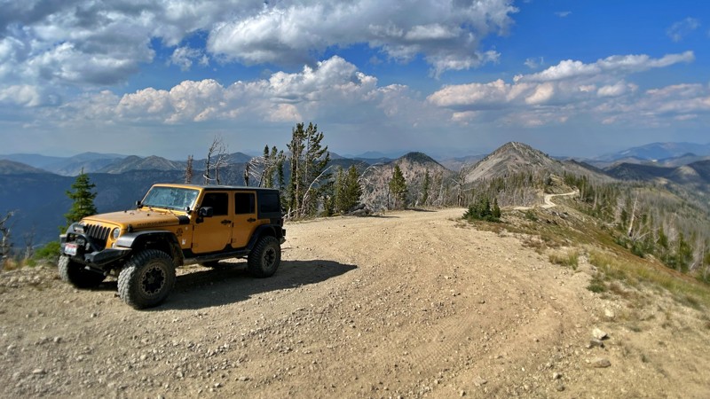
Formally known as Squaw Butte, Sehewoki'i Newenee'an Katete is a prominent feature of the Emmett Valley landscape. You can watch for quail, pheasant, and the greater sage-grouse, also known as a sagehen, while you travel through the lower elevations of this beautiful mountain with seasonal streams from the winter snows at the peak. There is a beautiful, steep-walled canyon where you gain 1100 feet in only 1.5 miles, where you might see deer, elk, and even bighorn sheep. Near the summit, there are quaking alders on either side of the more shallow canyon you are now in where black bears have been spotted. The views of the valley below are amazing from the summit, and even more so if you drive to the Lookout Tower.
Updated: 11/04/2025
Pinyon Peak Loop
Stanley, Idaho
Nestled in the Salmon–Challis National Forest, the Pinyon Peak Loop (also known as Beaver Loon Creek) is a remote, rugged drive with sweeping views into the Frank Church–River of No Return Wilderness. The route rides airy ridgelines to 9,942-foot Pinyon Peak, where a historic fire lookout crowns a panorama of the Salmon River Mountains, alpine meadows, and basins that fall away toward the Middle Fork of the Salmon River. Along the drive, mining relics, old lookout sites, and abundant trails add rich history and options for exploration, with big-mountain scenery as a constant companion.

Updated: 07/13/2024
Continental Divide Road
Island Park, Idaho
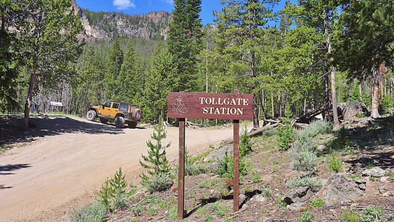
This is a beautiful backcountry road that runs on in some spots and along the iconic Continental Divide Trail and bounces back and forth between Idaho and Montana. The incredible views along this dirt road will take you through fields of tall grass and wildflowers, up the mountains through Aspen Groves, and over the hill through stands of Pine and Spruce trees with breathtaking views of all the surrounding mountain ranges and lakes. This trail follows and crosses the borders of the Targhee National Forest in Idaho and the Beaverhead National Forest in Montana and is also the only way to access Henry's Lake Overlook which offers 360-degree stunning views as far south as the Teton Mountain Range 80 miles south. On a clear day, the Grand Tetons are very distinct on the horizon. This is a great trail for anyone that wants to explore some of the few sections of the Continental Divide Trail with vehicular access.
Updated: 07/14/2023
Custer Motorway
Challis, Idaho
Travel through history in the Land of the Yankee Fork, a historic mining region between Challis and Stanley via the Custer Motorway. This historic toll road was once used to carry passengers, equipment, and supplies between the mining boomtowns. This route offers scenic vistas, former stage stops, homesteads, and a mining ghost town. Combining this trail with the Yankee Fork Road and visiting the Yankee Fork Gold Dredge is a great all-day trip.
Updated: 09/22/2026
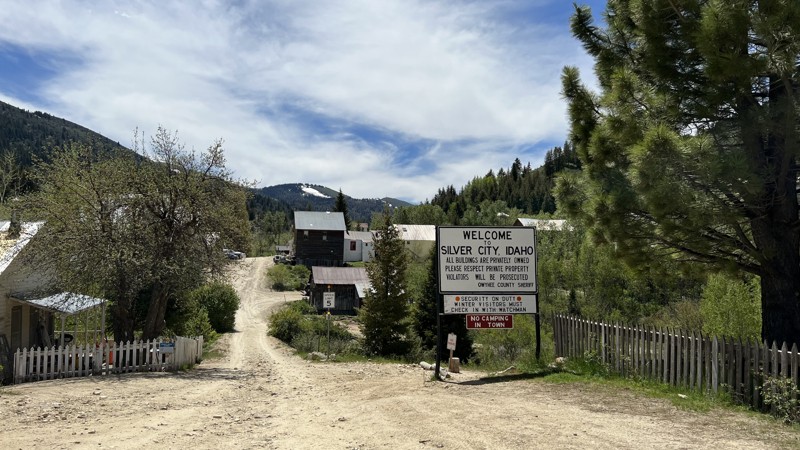
Silver City Road
Murphy, Idaho
Silver City is a privately owned ghost town in Southern Idaho that looks just about like it did during its heyday in the 1880s. Silver City is one of the premier destinations for history buffs and people who want to escape today's rat race.
Silver City Road starts as pavement but turns to gravel. The trail has steep climbs, and hairpin turns as it cuts through the picturesque mountains. One section of the road drops down to Sinker Creek with steep, hairpin corners. The road often sees heavy traffic, so take your time approaching the blind corners.
As the road climbs out from Sinker Creek and starts into the trees, there is exposed rock from 2-6" tall. Even though this is a gravel road, high clearance SUVs are recommended over cars because of a couple of these rocks. The road gains almost 4,000 feet of elevation, so be prepared for more hairpin switchbacks as the road heads over the top of the grade and down to the public restrooms.
Taking a left at the restrooms puts you within a mile or two of the town. Be prepared to go slow. Weekend visitors have overrun the locals, and the fastest way to their bad side is speeding through town. The speed limit is 5 mph.
Stop by the Idaho Hotel, have a drink or a hamburger, and then walk around the town, stepping back into history. There is a campground at the far end of town right along Jordan Creek, but the campground is as primitive as it gets: no water, no services, and pit toilets. If you need it, make sure you bring it: besides getting food at the old hotel, there are no services available in Silver City.
This road is closed seasonally from the first snowfall to Memorial Day Weekend, so please check with the Owyhee County Sheriff's Office for exact dates each year.
Updated: 07/27/2026
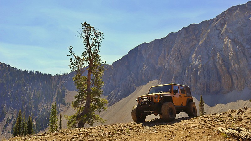
Pole Creek-Germania Creek
Sawtooth City, Idaho
Pole Creek Road is an old mining track with beautiful scenic views and historic mining remnants. The road ends deep in the Washington Basin of the White Cloud Mountains. This trail provides access to several hiking trailheads and offers fantastic views of the giant boulders and granite slabs of 11,000 feet peaks. While the trail starts as graded, it gets narrower and rougher as it climbs. There are several water crossings of various depths. High clearance, aired-down offroad tires, and 4WD are highly recommended. There are campsites along the road with options for creekside or mountain views.
Updated: 08/28/2023
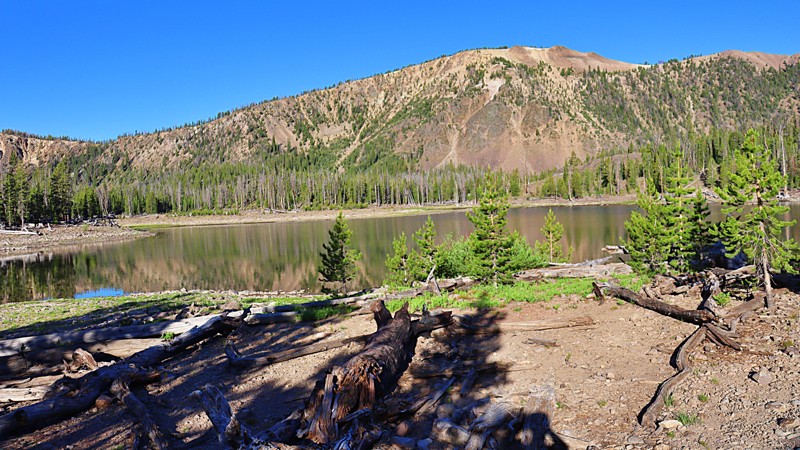
Challis Creek Lakes
Challis, Idaho
Challis Creek Lakes 4268 is a jeep trail located in the Salmon-Challis National Forest, an hour from Challis. The Salmon-Challis National Forest covers a vast 4.3 million acres of east-central Idaho which includes the Frank Church-River of No Return Wilderness, the Jim McClure-Jerry Peak Wilderness, the tallest peak in Idaho, Borah Peak,and the Salmon River.
Challis Creek Lakes trail begins at the junction of Mosquito Flat Reservoir. It leads to a group of three alpine lakes that sits at the edge of the Frank Church-River of No Return Wilderness at around 9000' in elevation, with beautiful views of the surrounding mountains. This is a rocky and bumpy trail with burbling creek crossings that meanders thru the forest and sometimes even in the road! There is also the Challis Creek trailhead access for hikers, equestrians, and motorcyclists midway on the trail. Once you reach the top of the trail, the lakes are a refreshing view after coming out of the forest and have plenty of space to disperse camp.
Updated: 01/19/2026
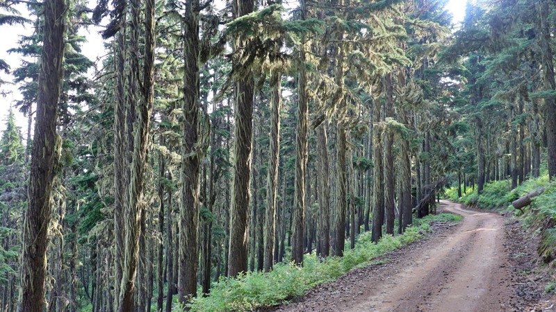
Lolo Motorway
Musselshell, Idaho
The Lolo Motorway, or the Lolo Trail, is a rugged, single-lane road that winds along the high ridges between the Lochsa and North Fork Clearwater Rivers. Constructed by the Civilian Conservation Corps in the 1930s, this challenging route requires a sturdy, high-clearance vehicle and a high level of self-reliance. The rocky and steep terrain makes it unsuitable for RVs or trailers. Still, those who brave the journey are rewarded with breathtaking views and a deep connection to history as they follow the same paths once traveled by the Nez Perce and the Lewis and Clark Expedition.
While the national forest MVUMs show the motorway as open year-round, straight-through access is typically only available from July through September due to lingering snow drifts and fallen trees. Spanning 92 miles, the Lolo Motorway offers adventurers a truly immersive experience in the remote beauty of the area. However, with no gas stations, stores, or other services along the way, it's crucial to emphasize that thorough preparation is not just recommended but absolutely essential. This responsibility adds to the readiness and excitement for the challenge ahead.
There are scattered established campsites along the trail. Please use existing sites rather than start new sites.

Updated: 07/07/2024
Sawtelle Peak
Island Park, Idaho
Anyone in the area, whether having been there for a lifetime or for the first time, should check out the views from Sawtelle Peak. The views from the top of this mountain are the closest you'll be to having a birds-eye view without being in a plane. On clear days, one can easily see the distinct features of the jagged Grand Tetons in Wyoming to the south 60 miles away. Folks are often amazed at how large Henry's Fork River and Island Park Reservoir are. You never get a feel for their size amongst all the trees! One can look down onto Henry's Lake with a glimpse of Hebgen Lake over the next ridge. The Red Rock Lakes are hidden behind Red Rock and Nemesis Mountains, but the Red Rock River can be seen snaking through the green grassy fields off in the distance.
This trail is located in Island Park, Idaho, 30 minutes from West Yellowstone and the west entrance to Yellowstone National Park. If traveling through this area in the dry summer months, check out this trail. The views here may even rival your trip through Yellowstone and a whole lot less traffic.
Updated: 10/15/2024
082
Big Springs, Idaho
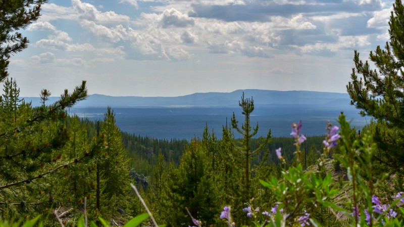
Escape the highway traffic and embark on a captivating adventure along Fish Creek Road. This scenic route winds through towering trees, treating you to occasional views of the vast caldera and a glimpse of the majestic Grand Tetons. Don't forget to make a pit stop at the roadside cut through the legendary Buffalo Lake obsidian deposit, renowned for its exceptional quality. Immerse yourself in the serenity of the drive as the road offers a mix of smooth overgrown asphalt and 16 miles of dirt, occasionally dotted with potholes and ruts.
Campgrounds can be found to the south, nestled along the Warm River, and established dispersed campsites near Big Springs in Island Park. It's the perfect escape for those craving a tranquil and picturesque journey off the beaten path.
Updated: 07/28/2026
Hells Half-Acre Lookout
Upper Crossing, Idaho
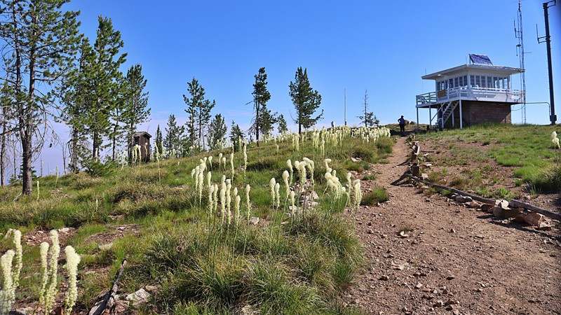
Hells Half Acre Lookout sits atop Hells Half Acre Mountain, at an elevation of 8,116 feet. The trail is accessible from the Magruder Corridor and is set high in the Bitterroot National Forest with views of the Frank Church Wilderness and Salmon-Challis National Forest. The lookout is staffed every summer during fire season. There are some areas for dispersed camping along the trail.
Updated: 08/11/2026
Rocky Canyon
Boise, Idaho
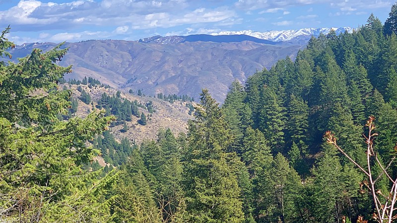
Rocky Canyon Road, also known as Shaw Mountain Road on the eastern side, is one of the access roads to the famous scenic Boise Ridge Road. Rocky Canyon can also be used to access trails in the Idaho City area and near Lucky Peak Reservoir. It is narrow and is widely used by bikers, hikers, and runners. On the Boise side of the summit, the road is graded dirt, but once you start to descend, the trail is not well maintained, and there can be washouts in some areas. There are no camping areas along this trail.

Upgrade your Membership
Unlock all of the details on every Trail Guide and Scout Route.
Start a 7-day Free TrialCommunity
Partners

