



By clicking "ACCEPT", you agree to be the terms and conditions of each policy linked to above. You also agree to the storing of cookies on your device to facilitate the operation and functionality of our site, enhance and customize your user experience, and to analyze how our site is used.
California Off-Road Trails
414
Total Trail Guides 391

4102
Detailed Waypoints 523
Try a Free 7-Day Trial and unlock it all
Start a Free Trial Most Recent Trail Reviews
Rated 5/5
Open
Visited: 09/19/2026
Great beginner trail here for those looking to try out some rockier sections. Starting to trend a little closer to a rating of 4, but still a 3 I’d say

R
Rob
Rated 5/5
Open
Visited: 09/19/2026
I entered this trail from Freeway Ridge 4WD trail (31E77) and ran Black Gulch Jeep Trail up to Rancheria Road, turned around, and ran Black Gulch Jeep Trail all the way down to Keyesville Road in Lake...



Daniel Macioce
Rated 4/5
Open
Visited: 09/19/2026
Took out the vstrom 800de today and this thing was tough for someone like me who is pretty new to offroading motorcycles. I ended up turning around about half way because I wasn't sure if I would be a...
SK
sean kotrola
No Rating
Open
Visited: 09/19/2026
The trial marked by the app here is very difficult with all the recent deep washouts. Proceed at your own risk if you are by yourself with unmodified rigs. However the bypass is maintained and should ...
TB
Timmy Boby
Rated 5/5
Open
Visited: 09/18/2026
Very friendly fire watch tower volunteers and fantastic 360 degree views up top
R
Rob
Rated 5/5
Open
Visited: 09/18/2026
Great views and an easy drive through. Be sure to take the road up to the fire watch tower
R
Rob
Rated 5/5
Open
Visited: 09/17/2026
ran the trail twice last weekend, this is such a better way to go than 3n16...


Josh Noesser
Official Crew
Rated 5/5
Open
Visited: 09/16/2026
It's been 6 years since I visited this trail. It has seen some wear, but the overall difficulty is about the same, probably a bit higher now, as Waypoint 11 has suffered from traffic. Waypoint 11 ha...

Robert
Official Crew
Rated 5/5
Open
Visited: 09/16/2026
Started off from polique canyon at way point 13 and headed east. Its a great trail for most of it with scenic views. A good amount mud puddles that were fun as hell to drive through. Some I decided to...


VM
Victor Manuel Garcia
Rated 5/5
Open
Visited: 09/16/2026
Used this trail to get to Holcomb valley. Super easy and a nice drive, I can see how in the winter it can be a bit more challenging with rain and snow.
VM
Victor Manuel Garcia
No Rating
Open
Visited: 09/16/2026
Mostly easy, but heading NE there's a rock step down just a few miles in that *requires* high clearance. Banged the rear end of my 4runner despite having a 3" lift and 33" tires. A stock SUV would alm...



Carlos H.
Rated 5/5
Open
Visited: 09/14/2026
A fun little detour off Burns Canyon. I ran this alone and stopped a few times to spot; I also used my grill camera in several places. I brushed my sliders a couple times, but no real issues. Definite...
EB
Ed Boyd
Rated 5/5
Open
Visited: 09/13/2026
easy perfect beginner off roader trail with great views and water crossing during the winter.



Dex Offroad
Rated 5/5
Open
Visited: 09/11/2026
super easy trail over looking the valley and 15fwy. only bad thing is that its super windy.

Dex Offroad
No Rating
Partially Open
Visited: 09/09/2026
Although you can cross the creek from Fordyce if you want, Committee Road is still closed back to the I80, so this has no exit, and you'll be forced back onto Fordyce.

Ryan Boudreau
Official Crew
No Rating
Temporary Closure
Visited: 09/09/2026
Road is still closed. I thought i read somewhere an expected 2030 opening, but can't confirm that info.
Ryan Boudreau
Official Crew
Rated 5/5
Open
Visited: 09/09/2026
This is an awesome trail . This trail is moderate with a few obstacles to make it fun. It also has incredible scenic views with a little bit of shelf roads. You can watch the full video on my YouTube ...


Dex Offroad
Rated 5/5
Open
Visited: 09/07/2026
Pretty spot on with the rating, was a little tough today with the rain but made it through in my 2023 Gladiator Overland with 2.5” lift and 35s with autolynx sway disconnects.


CT
Christopher Tanton

Shaan Heugly
Rated 5/5
Open
Visited: 09/06/2026
Drove reverse from what’s listed to the jasper trail. This is a easy but enjoyable trail with plenty of places to camp at the end of the
Shaan Heugly
Rated 5/5
Open
Visited: 09/06/2026
Bit washed near the top but nothing difficult to navigate. I headed from jasper to the highway and near the highway it did narrow. I got through with my Tacoma but there are a few pinch points I could...
Shaan Heugly
Rated 5/5
Open
Visited: 09/06/2026
Mostly easy trail but when going south to north, I did need to use 4Lo on some of the inclines with a loaded Tacoma
Shaan Heugly
Rated 4/5
Open
Visited: 09/05/2026
It had been five years since I last drove this trail. The long, annoying stretches of moguls are still there, and water erosion has added a touch more difficulty in places. It was nice to see the old ...


Robert
Official Crew
Rated 4/5
Open
Visited: 09/05/2026
This is a nice trail with great views for any 4WD with ground clearance as some sections have ruts that are 12+ inches deep. Things were very dry on my visit, so airing down the tires helped to smooth...


SG
Steve Graham
Rated 3/5
Open
Visited: 09/05/2026
From waypoint 7 to 10 the water damage is pretty bad. Waypoint 13-16 it is rocky. Nothing crazy but a few spots where patience and the right line will go a long way. Good clearance and 4x4 recommended
N
Noah
Rated 5/5
Open
Visited: 09/05/2026
Easy trail with an awesome view at the end. There were three lookouts in the fire tower and each one was super friendly and informative. Must see trail!


N
Noah
Rated 5/5
Open
Visited: 09/05/2026
fun easy trail, Butler Peak lookout is the highlight imo
N
Noah
Rated 5/5
Open
Visited: 09/04/2026
Trail was very well maintained. Thanks for the Fresno 4x4 club. It was very cold at night, into the 30s. We were on the trail two nights, 3 days and two nights at voyager rock due to a breakdown fr...
JD
John Drago
No Rating
Open
Visited: 09/04/2026
Beautiful area, but the trail itself wasn’t very interesting. I’d rate it around a 3/10, with a couple of optional sections that might push a 4.
There’s tons of dispersed camping throughout the area,...


Ryan Smith
Rated 5/5
Open
Visited: 09/01/2026
awesome trail with a lot of water crossings. just be careful of sxs and bikes since its a OHV area.

Dex Offroad
Rated 5/5
Open
Visited: 09/01/2026
Super easy trail and you can over look the high desert. Trail ends at an awesome view point.

Dex Offroad
Dex Offroad
Rated 5/5
Open
Visited: 08/31/2026
This trail is much harder than it used to be. It’s just as breathtakingly beautiful as ever. You are on your own out there. Fuel, parts, spare tire. It’s days from help if you need it so go prepared. ...

CP
Christopher Pepin
No Rating
Open
Visited: 08/30/2026
Ran this trail today and had fun. Easy trail with great views. I wouldn’t hesitate to take an experienced driver in a stock jeep up this. There are lots of trails in this area and way to get off the m...

CP
Christopher Pepin
No Rating
Open
Visited: 08/29/2026
Trail was in good shape, a little less sand makes the boulders a little bigger. People have made the bypass around the sluice a little bit longer than it used to be you miss a lot of the good rocks. O...
C
Campbell
Rated 5/5
Open
Visited: 08/29/2026
An often overlooked and amazing trail. It’s about the length and difficulty of the rubicon if you don’t hit any of the bypasses on the rubicon. We had a group of 3 lj on 40s, a jku on 42s, and an Xj o...
CP
Christopher Pepin
Rated 4/5
Open
Visited: 08/27/2026
This is most definitely a hard trail. Is the entire thing hard? Not at all. The western 7 miles are a hard packed dirt road. Then you run into 3 straight, large boulder obstacles where its clear many ...


Ryan Boudreau
Official Crew
Rated 4/5
Open
Visited: 08/27/2026
Easy drive with beautiful views and . . . Buck Rock! Lots of camping south of Buck Rock, but camping north of the Rock isn't as plentiful. There are a few others on the north, but there's one here: 36...


Carlos H.
Rated 5/5
Open
Visited: 08/26/2026
I really enjoyed this road. It's super scenic with the sierra's in the background, the white beaches, and the columns are really cool. The road is not anything challenging with a high clearance vehicl...


Ryan Boudreau
Official Crew
Rated 4/5
Open
Visited: 08/25/2026
Fun area. The hot springs are pretty popular and well-known, and because they are small, you'd better hope you are one of the first people there that day if you want to get in. The route is easy, exce...


Ryan Boudreau
Official Crew
Rated 4/5
Open
Visited: 08/25/2026
I liked this trail a lot, but it's not quite a 5-star trail for me. I feel like it's a little overhyped. Is it scenic? Absolutely! Is there tons of great camping? Totally! Is it a crazy busy? You Bet!...


Ryan Boudreau
Official Crew
Rated 4/5
Open
Visited: 08/25/2026
Road to the hot springs parking area is easy. There are regular passenger cars there. The hike is easy too. The tub itself is super scenic, but know that they are not hidden gems by any means and we'l...

Ryan Boudreau
Official Crew
Rated 3/5
Open
Visited: 08/25/2026
It's a simple road, but definitely very scenic and really only used to get from Convict to Laurel Lakes or Mammoth. Road is suitable for anything with decent ground clearance.


Ryan Boudreau
Official Crew
Rated 2/5
Open
Visited: 08/25/2026
Simple dirt road used to access other types of recreation. Many signs remind you that you aren't allowed to camp along it except at the campground.


Ryan Boudreau
Official Crew
Rated 3/5
Open
Visited: 08/23/2026
Simple, straightforward dirt road used for fishing access.


Ryan Boudreau
Official Crew
Rated 5/5
Open
Visited: 08/23/2026
Amazing views at the top of this trail. Erosion looks to be making this trail harder than it probably originally was. Most of the hardest spots are getting bypasses created around them. A short, st...



Dan Jurgella
Rated 5/5
Open
Visited: 08/23/2026
Toad Lake Road 40N64 was a long, slow, and wonderfully remote drive into the Trinity Divide. The changing mix of old pavement, dirt, loose rock and deep ruts kept the journey interesting, while forest...



Rose Meirs
Official Crew
Rated 5/5
Open
Visited: 08/23/2026
North Fork 41N53 was a fun backcountry drive through the forest west of Mount Shasta. Early in the trip, a wrecked motorhome beside the road provides unforgettable confirmation that you are on the rig...


Rose Meirs
Official Crew
No Rating
Partially Open
Visited: 08/23/2026
The trail is still only partially open. I drove it from Old Mill Road to the closed gate. Once I was at the gate, I took the connecting trail back into Big Bear Village.
For exact trail names and n...

John Mantey
Rated 3/5
Open
Visited: 08/22/2026
Nothing really special about the road. It's easy and gets progressively rockier the closer to the lake you get, but it's not challenging, and you will see plenty of small SUVs and crossovers along the...
Ryan Boudreau
Official Crew
Most Popular

Updated: 12/23/2025
Steel Pass Road
Open
/
Teakettle Junction, California/
8.25 miles/
About 3 hours
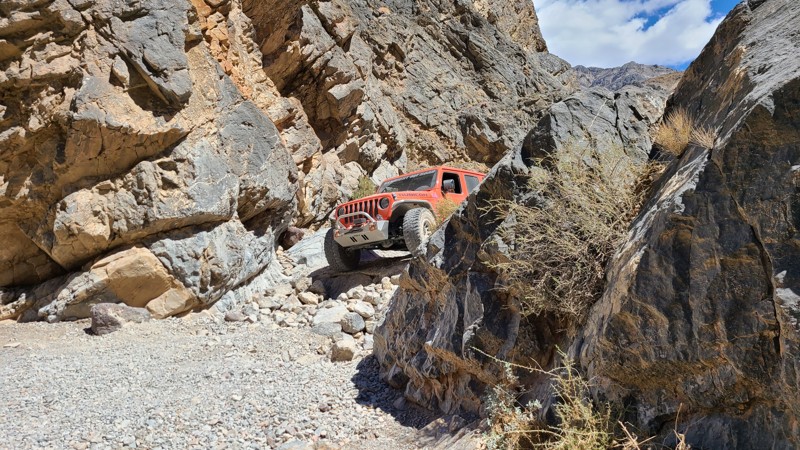
Steel Pass is one of Death Valley’s crown-jewel backcountry routes. It is remote, rugged, and strikingly beautiful. Connecting Saline Valley to the Eureka Dunes, this trail carries you through an ever-changing landscape of salt flats, colorful canyons, volcanic rock, and endless desert horizons. Drivers can expect a steady climb from the warm springs in Saline Valley up through the narrows of Dedeckera Canyon, where tight rock walls and a few mild ledge obstacles add just enough technical flavor to keep things exciting without requiring an extreme rock crawler.
Updated: 12/31/2024
The Slot
Borrego Springs, California
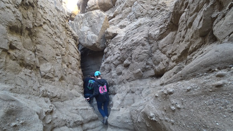
The Slot is an extremely narrow sandstone hiking canyon located in the heart of Anza-Borrego State Park. This popular, family-friendly destination is a great opportunity to take a dirt road to a mesmerizing slot canyon carved by millions of years of flash floods and eroding rock. This unique hiking opportunity in southern California starts as an open-ish area but quickly closes in. At points along the hike, you will be trying to shimmy sideways to continue. Once it reaches the bottom, it opens up to Borrego Mountain Wash, where your 4-wheel drive friends can pick you up and return you to the parking area. Great for groups, friends, or solo adventures, The Slot is a great place to visit for those who come prepared for a day in the desert. The Slot can reach over 110 degrees in the summer, so be sure to bring lots of water and notify people where you are going. This area is at high risk of flash floods and should only be entered on sunny days.

Updated: 04/15/2023
M1 - Elk Mountain Road to Lake Pillsbury
Upper Lake, California
National Forest route M1 (also known as Elk Mountain Road) is the main south-to-north arterial that acts as the "spine" of the Mendocino National Forest. Seemingly endless single-track OHV trails (bikes and quads only) and double-track trails wide enough (and signed for) street-legal 4WD vehicles branch off regularly as you travel along the M1. For this reason we have documented its many intersections as comprehensively as possible, with a waypoint for each one. Note that the "Ranch" fire of 2018 closed many of the trails in this area; the BLM has been working hard to get them reopened, but many of the single-track OHV-only trails are still closed for repair.
Updated: 10/21/2022
Upper Rattlesnake Canyon
Landers, California
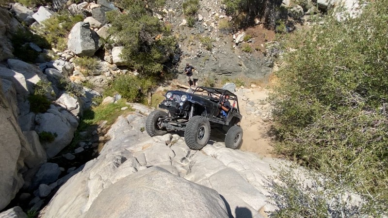
Upper Rattlesnake Canyon seemed destined to be lost to time, reduced to just a story that you might hear when hanging out with the older offroaders. Now resurrected and open again, this trail is handily the hardest trail in the Big Bear Mountain Range with its legendary obstacles. The obstacles are so intense that many of the legendary Johnson Valley Trails pale in comparison and often brave drivers choose to simply turn around.
Over the years the trail has been called many names from Pops Canyon, Grandparents Canyon, to even Garden of Eden as the different groups think they found something new and exciting. But understand, this trail has been here a long time and the original trail is still rather easy to follow. The history of this epic trail is this was once part of the original Rattlesnake Canyon. The upper part of the canyon made Rattlesnake Canyon get it's intermediate to hard rating. The 2 to 4-foot waterfall of bygone days is now a monster 25-foot waterfall and growing. Thus as the canyon gets harder and harder. Because of this, Rattlesnake Canyon trail has moved out of the canyon and now parallels this canyon in the Joshua Tree Forest leaving this trail to be forgotten over time.
But Upper Rattlesnake Canyon is reborn. With lush green plants and trees and year-round flowing springs, it is easy to see why people think they found some kind of Garden of Eden. But understand, there is a lot of history to this uniquely intense rock crawling trail. There is no room for mistakes on this trail without severe consequences. All mistakes will result in vehicle damage ranging from body damage to breaking components or even worse. Thus the only people that should run a legendary trail like this are those who can respect such an insanely difficult 4x4 trail that only could exist from the histories of what once was. Are you that person?
Updated: 07/21/2025
Lower Larga Flat
Big Bear Lake, California
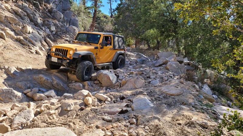
2N06X, aka Lower Larga Flat, is a short offroad connection generally used to bypass the middle rock garden on Holcomb Creek. But don't think this trail isn't hard because it is considered a bypass. 2N06X offers intense rocky hill climbs, large boulder rock gardens, and crazy off-camber spots that will make you think twice. Many people find this to be a fun trail for intermediate drivers ready to make the next step up in difficulty.
Updated: 05/20/2026
6S59 - Shuteye Peak
Bass Lake, California
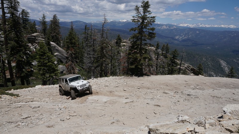
Dense forest, water crossings, steep switchbacks, moderate rock obstacles and some amazing views at the Shuteye Peak fire watch tower will make this one of your favorite California trails. High in the Bass Lake Ranger District of the Sierra National Forest, Shuteye Peak overlooks from the Eastern Sierra Nevada Mountains to Kaiser Pass, Shaver Lake and
, to Bass Lake, the Yosemite Wilderness past Madera Peak, over California's Central Valley and beyond. With such diverse trail characteristic from start to finish, Shuteye Peak is one of Central Californias top trails and a must-do for any wheeler looking for high mountain views.
Updated: 02/19/2025
Afton Canyon
Barstow, California
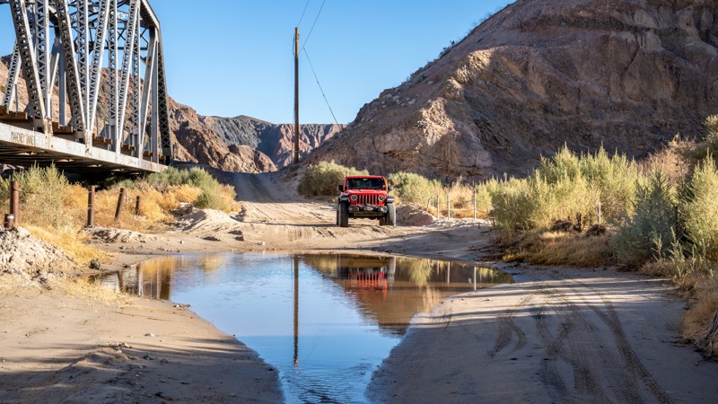
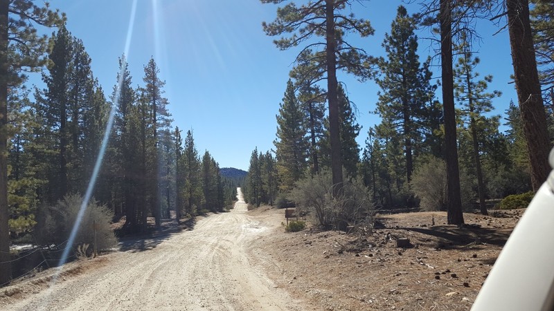
Often referred to as the Grand Canyon of Mojave, Afton Canyon offers a stunning and rugged drive through one of California’s most unique desert landscapes. Located along historic Route 66 and following the iconic Mojave River, this remote canyon features dramatic rock formations, colorful cliffs, and rare year-round water, making it a haven for wildlife and photographers alike. Visitors can explore slot canyons, hike to hidden oases, and even spot bighorn sheep amid the striking desert scenery. Whether you're a nature lover, offroad enthusiast, or history buff intrigued by its connection to the railroad and Old West, Afton Canyon is a must-visit destination for those seeking an unforgettable Mojave Desert experience.
Updated: 07/20/2024
2N09 - Polique Canyon
Big Bear City, California
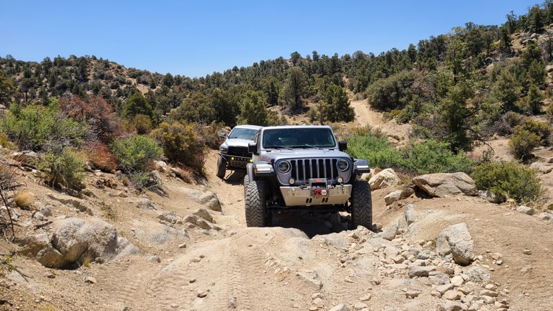
An easy connector trail. 2N09 is a quick way back to Holcomb Valley. Just be warned, in the snow the trail ices over in the shady areas, and the rain brings long, deep, slick mud holes.
Updated: 10/15/2024
2N70Y - Sidewinder Canyon
Big Bear City, California
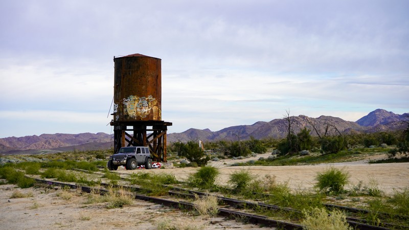
Sidewinder Canyon is an offshoot of Burns Canyon Road 2N02. People often take this fun little trail that is looking to spice up their adventure when traveling 2N02. This little fun trail has a few challenges that a new driver in most stock high ground clearance 4x4's can do without pushing them too hard, like the neighboring Heartbreak Ridge. So if traveling through the area and looking for something new or different, make the turn south and run this short but fun little trail.
Updated: 03/23/2023
Mortero Wash - Anza Borrego
Ocotillo, California
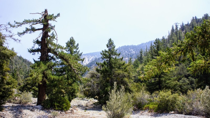
Mortero Wash is a popular destination in Anza-Borrego due to its rich cultural and historical significance and stunning natural beauty. The wash is located in a southeast area of the park and offers visitors a chance to explore the region's fascinating history and unique geological formations. The wash is home to many stunning rock formations and canyons, including the Mortero Palms, an oasis of palm trees fed by a natural spring. Also rich in railroad history, you hike to the famous Goat Canyon Train Trustle, the world's largest wooden train bridge, or keep it easy and check out the old stop directly off the trail. The Kumeyaay, early Native Americans left behind various ancient artifacts, including mortars and pestles used for grinding seeds and grains that you can witness in the Piedras Grandes Cultural Preserve found on the trail.
Updated: 05/14/2024
4N11 Big Rock Creek
Wrightwood, California
4N11 Big Rock Creek is in the Angeles National Forest. This trail is literally within two hours of all most anywhere in Southern California. Big Rock Creek runs east to west offering fantastic views of the San Gabriels to the south with Mount Baden-Powell, at an elevation of 9,400 feet a prominent feature of the skyline. To the north is 4N56 Pinyon Ridge trail. These trails are close enough for a morning run and be home for lunch or pack your gear for a campout at Big Rock Campground or choose from several nice dispersed sites along the trail. The campground might be convenient if you are unfortunate enough to have a loved one staying at Fenner Camp, a correctional facility near the trails end.
Updated: 05/25/2024
Meccaopia Jeep Trail
Mecca, California
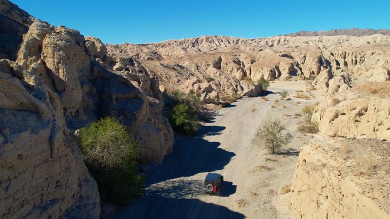
Meccacopia Trail provides a fantastic offroad adventure over easy trails allowing you to focus on the spectacular scenery along its route. The trail follows the border between the Mecca Hills Wilderness and the Orocopia Mountains Wilderness, providing a glimpse of the area before man. Thanks to the restless San Andreas Fault and millennia of erosion, the surrounding area offers some of the world's most exciting and beautiful geologic formations of its kind. As you approach the trail's end and the shores of the Saltine Sea, Meccacopia Trail cuts a path through a badlands labyrinth, a natural maze of small, narrow, steep canyons and caves providing a sightseeing extravaganza. Along the way are many other trails marked and unmarked to explore.
Updated: 06/16/2025
Snow Slide
Running Springs, California
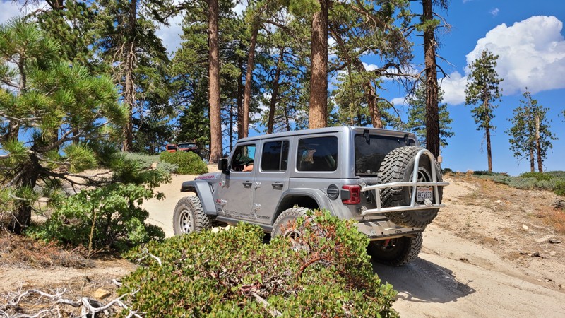
Discover Big Bear’s Best-Kept Secret: 2N13 Snow Slide Trail, which could possibly be one of the most underrated overland trails in Big Bear. Snow Slide Trail is a hidden scenic route through the San Bernardino National Forest that's perfect for a family outing or a weekend adventure with friends. If you're looking to escape the crowds and take in some unbelievable scenery, this trail delivers.
This seasonal route features a smooth, easy-to-navigate trail, making it a great option for stock offroad vehicles. As you follow the trail, you'll be treated to sweeping views that make it feel like you can see the edge of the world. It's the kind of place where you stop to take it all in.
For those who enjoy dispersed camping, Snow Slide Trail offers several quiet, scenic spots that are perfect for setting up camp. Most sites along the way boast incredible views and a peaceful atmosphere that feels miles away from civilization.
If you're in the mood to explore something new and off the radar, Snow Slide should be at the top of your list. It’s a hidden gem waiting to be explored.
Updated: 05/27/2024
4E03 - Corte Madera Road
Pine Valley, California
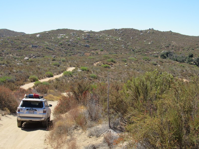
Corte Madera Road is a connector trail between Espinosa Trail and Skye Valley Road that forms a 18-mile loop through Cleveland National Forest. To the north and west of the road is Pine Creek Wilderness, which is closed to motor vehicles. The highlights of this short road are the magnificent views of the southern California and Mexico wilderness and the numerous granite boulders that dot the landscape to the east. Along with this road, the 18-mile loop consists of the following additional roads and trails:
16S17 - Los Pinos Road
17S04 - Corral Canyon Road
17S06 - Skye Valley Road
4E03 - Espinosa Trail
Updated: 06/04/2023
Sidewinder - Corral Canyon
Pine Valley, California
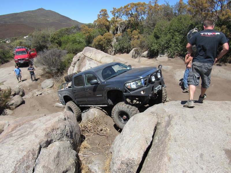
Are you looking for a rock crawling challenge in Corral Canyon OHV Area? If so, Sidewinder is your trail. While not as difficult as nearby Bronco Peak and the Bronco Peak Connector trails, this trail will challenge you and your vehicle. Sidewinder Trail is just over a mile long with several steep rock climbs and sharp drop-offs that make up most of the challenges. Some of the difficult obstacles have alternate routes that may or may not be easier.

Updated: 07/06/2026
Swansea Grade
Swansea, California
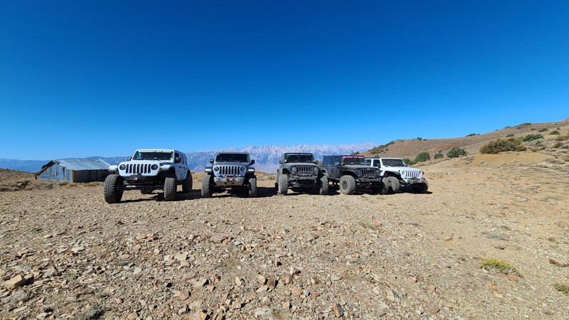
The trail climbs up and over the hills overlooking Death Valley. The trail starts in the desert and heads up the hills into the forest, eventually getting above the treeline. Across the valley is Mount Whitney, the tallest peak in the lower 48. As you follow the ridgeline, you pass what was the old salt tram that took salt from Death Valley down to what was a lake on the west side. Please note: This trail has extremely steep sections. The grade was so steep it was unsafe to get out of the vehicle or even try to take photos of the group. Proceed with caution and never attempt this trail on wet or snowy days.
Updated: 11/25/2022
Borrego Mountain Wash
Borrego Springs, California
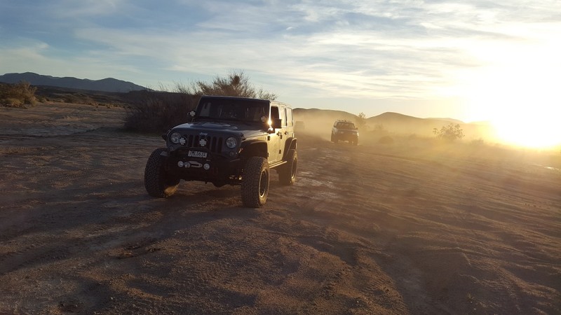
Deep in the heart of the Anza Borrego State Desert is a neat secret that is rarely traveled. This jewel has everything Anza Borrego has to offer in a short package. Sharing the state park's name, Borrego Mountain Wash has everything from wind caves, Devils Rock Sculptures, narrow canyons, dry waterfalls, and amazing hiking. Just be ready, this trail is also one of the hardest trials in all of Anza Borrego Park, and it leaves no way to run out the way you came in.
Updated: 02/01/2023
14N07 to Wentworth Springs (Route)
Fresh Pond, California
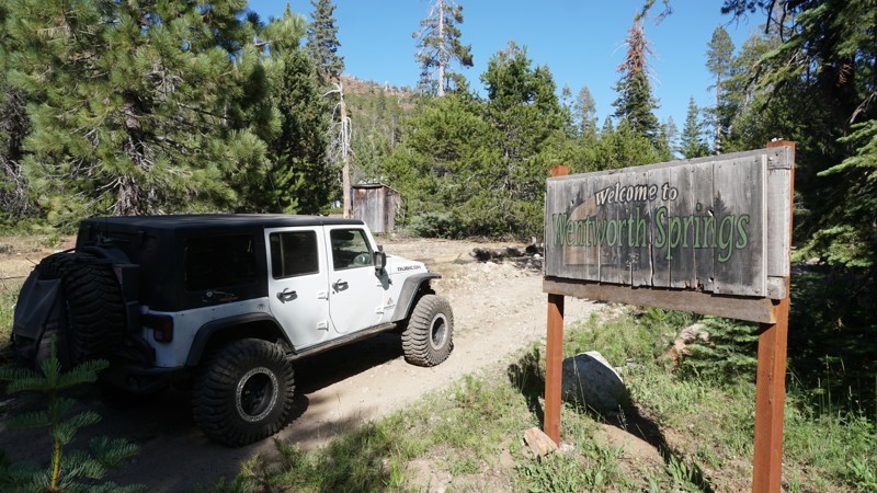
This route to Wentworth Springs sits northeast of Pollock Pines, California, high in the mountains of the Eldorado National Forest. 14N07 to Wentworth Springs is an easy, scenic route traveling through dense forest, crossing multiple creeks, passing through the historic site of Wentworth Springs and ending at not only the Wentworth Campground, but the original beginning of the legendary Rubicon Trail.
Those new to off-road will enjoy this route for its scenery, history and mild off-road challenges while more advance wheelers will probably be more focused on the Rubicon Trail at the end.
Updated: 11/04/2024
Funeral Range Trail
Furnace Creek, California
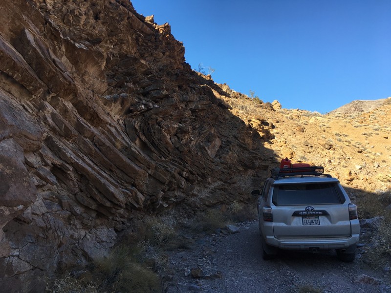
The Funeral Range Trail joins a long list of Death Valley areas with morbid names: Coffin Peak, Hell's Gate, Starvation Canyon and Dead Man Pass. The trail runs through the Funeral Mountains along Upper Echo Canyon and offers one of the few difficult trail runs within the national park. Tight canyon walls and rock ledges up to 3' in height will test a vehicle's articulation and a driver's skill level. In addition, the trail lies along the eastern edge of the park and starts and stops in two different states: California and Nevada.
Updated: 10/22/2023
3S08 - Vista Grande
Idyllwild-Pine Cove, California
3S08 - Vista Grande is a little used offroad 4wd trail in the San Bernardino National Forest. It is north of Idyllwild in the San Jacinto Mountains. A beautiful trail at the top, in the pines, fir and cedar. It makes it's way down into a more desert climate and is actually in the Morongo Indian Reservation for it's last mile or so in the north. There are no signs, or gates to prevent your travel on the Reservation. Along with the trail it connects to in the north, it is the northern most Forest Service numbered trail in the San Jacinto Mountains. It meets up with 3S09 Hurley Flats at the end which you can take for a loop run back up to Hwy 243, a short distance from where you started.

Updated: 03/16/2024
South Carrizo Creek - Anza Borrego
Ocotillo, California
South Carrizo Creek follows its namesake water tributary through a flood plane resulting in one of the greenest trails in the Anza-Borrego Desert State Park. With lush vegetation and perfect for late winter flowers, the trail provides spectacular views of the Vallecito, Tierra Blanco, and the Sawtooth Mountains in one direction and the Carrizo Badlands in another. When exploring the more famous trails, such as Canyon Sin Nombre, don't lose sight of this gem hidden in plain sight.

Updated: 06/17/2024
3N43 - Harvey Mine
Big Bear Lake, California
3N43 - Harvey Mine is one of many off-road trails in the San Bernardino National Forest, north of Big Bear Lake, in Holcomb Valley. This short trail is close to the Holcomb Valley Campground, near Coyote Crag and connects to the west end of the John Bull rock crawling trail.
This is a great trail for a beginner with a high clearance 4x4 to explore while in Big Bear's Holcomb Valley or a quick short cut for more experienced wheelers going to or coming from a run through John Bull.
Updated: 03/12/2026
Devils Hole
Lake Arrowhead, California
Forest Route 3N34D is the 4x4 trail to Devil's Hole, a dark, deep, swirling pool of water in Deep Creek, north of Lake Arrowhead, California. Devil's Hole is a popular warm-weather destination. This trail offers the chance to combine some 4x4 adventure with a cool dip in the creek, some relaxation near the water's edge, fishing, or even hiking (The Pacific Crest Trail cuts through this trail near the water). In summer months, plan to come early and stay late to avoid the 4x4 traffic jams on this narrow, winding offroad trail.

Updated: 07/01/2023
High Valley Road
Clearlake Oaks, California
The High Valley Road climbs through very pretty pine forest and provides frequent peekaboo views of Clear Lake, which at 68 square miles is the largest natural freshwater lake in California (remember that Lake Tahoe is partially in California and partially in Nevada). You'll also see 4,305 foot tall Mount Konocti, which is still classified as an active volcano-- although it last erupted over 11,000 years ago. High Valley Road is a great way to climb up to the intersection with Bartlett Springs Road, which leads deep into the Mendocino National Forest.

Upgrade your Membership
Unlock all of the details on every Trail Guide and Scout Route.
Start a 7-day Free TrialCommunity
Partners

