



By clicking "ACCEPT", you agree to be the terms and conditions of each policy linked to above. You also agree to the storing of cookies on your device to facilitate the operation and functionality of our site, enhance and customize your user experience, and to analyze how our site is used.
California Off-Road Trails
414
Total Trail Guides 391

4102
Detailed Waypoints 523
Try a Free 7-Day Trial and unlock it all
Start a Free Trial Most Recent Trail Reviews
Rated 5/5
Open
Visited: 09/19/2026
Great beginner trail here for those looking to try out some rockier sections. Starting to trend a little closer to a rating of 4, but still a 3 I’d say

R
Rob
Rated 5/5
Open
Visited: 09/19/2026
I entered this trail from Freeway Ridge 4WD trail (31E77) and ran Black Gulch Jeep Trail up to Rancheria Road, turned around, and ran Black Gulch Jeep Trail all the way down to Keyesville Road in Lake...



Daniel Macioce
Rated 4/5
Open
Visited: 09/19/2026
Took out the vstrom 800de today and this thing was tough for someone like me who is pretty new to offroading motorcycles. I ended up turning around about half way because I wasn't sure if I would be a...
SK
sean kotrola
No Rating
Open
Visited: 09/19/2026
The trial marked by the app here is very difficult with all the recent deep washouts. Proceed at your own risk if you are by yourself with unmodified rigs. However the bypass is maintained and should ...
TB
Timmy Boby
Rated 5/5
Open
Visited: 09/18/2026
Very friendly fire watch tower volunteers and fantastic 360 degree views up top
R
Rob
Rated 5/5
Open
Visited: 09/18/2026
Great views and an easy drive through. Be sure to take the road up to the fire watch tower
R
Rob
Rated 5/5
Open
Visited: 09/17/2026
ran the trail twice last weekend, this is such a better way to go than 3n16...


Josh Noesser
Official Crew
Rated 5/5
Open
Visited: 09/16/2026
It's been 6 years since I visited this trail. It has seen some wear, but the overall difficulty is about the same, probably a bit higher now, as Waypoint 11 has suffered from traffic. Waypoint 11 ha...

Robert
Official Crew
Rated 5/5
Open
Visited: 09/16/2026
Started off from polique canyon at way point 13 and headed east. Its a great trail for most of it with scenic views. A good amount mud puddles that were fun as hell to drive through. Some I decided to...


VM
Victor Manuel Garcia
Rated 5/5
Open
Visited: 09/16/2026
Used this trail to get to Holcomb valley. Super easy and a nice drive, I can see how in the winter it can be a bit more challenging with rain and snow.
VM
Victor Manuel Garcia
No Rating
Open
Visited: 09/16/2026
Mostly easy, but heading NE there's a rock step down just a few miles in that *requires* high clearance. Banged the rear end of my 4runner despite having a 3" lift and 33" tires. A stock SUV would alm...



Carlos H.
Rated 5/5
Open
Visited: 09/14/2026
A fun little detour off Burns Canyon. I ran this alone and stopped a few times to spot; I also used my grill camera in several places. I brushed my sliders a couple times, but no real issues. Definite...
EB
Ed Boyd
Rated 5/5
Open
Visited: 09/13/2026
easy perfect beginner off roader trail with great views and water crossing during the winter.



Dex Offroad
Rated 5/5
Open
Visited: 09/11/2026
super easy trail over looking the valley and 15fwy. only bad thing is that its super windy.

Dex Offroad
No Rating
Partially Open
Visited: 09/09/2026
Although you can cross the creek from Fordyce if you want, Committee Road is still closed back to the I80, so this has no exit, and you'll be forced back onto Fordyce.

Ryan Boudreau
Official Crew
No Rating
Temporary Closure
Visited: 09/09/2026
Road is still closed. I thought i read somewhere an expected 2030 opening, but can't confirm that info.
Ryan Boudreau
Official Crew
Rated 5/5
Open
Visited: 09/09/2026
This is an awesome trail . This trail is moderate with a few obstacles to make it fun. It also has incredible scenic views with a little bit of shelf roads. You can watch the full video on my YouTube ...


Dex Offroad
Rated 5/5
Open
Visited: 09/07/2026
Pretty spot on with the rating, was a little tough today with the rain but made it through in my 2023 Gladiator Overland with 2.5” lift and 35s with autolynx sway disconnects.


CT
Christopher Tanton

Shaan Heugly
Rated 5/5
Open
Visited: 09/06/2026
Drove reverse from what’s listed to the jasper trail. This is a easy but enjoyable trail with plenty of places to camp at the end of the
Shaan Heugly
Rated 5/5
Open
Visited: 09/06/2026
Bit washed near the top but nothing difficult to navigate. I headed from jasper to the highway and near the highway it did narrow. I got through with my Tacoma but there are a few pinch points I could...
Shaan Heugly
Rated 5/5
Open
Visited: 09/06/2026
Mostly easy trail but when going south to north, I did need to use 4Lo on some of the inclines with a loaded Tacoma
Shaan Heugly
Rated 4/5
Open
Visited: 09/05/2026
It had been five years since I last drove this trail. The long, annoying stretches of moguls are still there, and water erosion has added a touch more difficulty in places. It was nice to see the old ...


Robert
Official Crew
Rated 4/5
Open
Visited: 09/05/2026
This is a nice trail with great views for any 4WD with ground clearance as some sections have ruts that are 12+ inches deep. Things were very dry on my visit, so airing down the tires helped to smooth...


SG
Steve Graham
Rated 3/5
Open
Visited: 09/05/2026
From waypoint 7 to 10 the water damage is pretty bad. Waypoint 13-16 it is rocky. Nothing crazy but a few spots where patience and the right line will go a long way. Good clearance and 4x4 recommended
N
Noah
Rated 5/5
Open
Visited: 09/05/2026
Easy trail with an awesome view at the end. There were three lookouts in the fire tower and each one was super friendly and informative. Must see trail!


N
Noah
Rated 5/5
Open
Visited: 09/05/2026
fun easy trail, Butler Peak lookout is the highlight imo
N
Noah
Rated 5/5
Open
Visited: 09/04/2026
Trail was very well maintained. Thanks for the Fresno 4x4 club. It was very cold at night, into the 30s. We were on the trail two nights, 3 days and two nights at voyager rock due to a breakdown fr...
JD
John Drago
No Rating
Open
Visited: 09/04/2026
Beautiful area, but the trail itself wasn’t very interesting. I’d rate it around a 3/10, with a couple of optional sections that might push a 4.
There’s tons of dispersed camping throughout the area,...


Ryan Smith
Rated 5/5
Open
Visited: 09/01/2026
awesome trail with a lot of water crossings. just be careful of sxs and bikes since its a OHV area.

Dex Offroad
Rated 5/5
Open
Visited: 09/01/2026
Super easy trail and you can over look the high desert. Trail ends at an awesome view point.

Dex Offroad
Dex Offroad
Rated 5/5
Open
Visited: 08/31/2026
This trail is much harder than it used to be. It’s just as breathtakingly beautiful as ever. You are on your own out there. Fuel, parts, spare tire. It’s days from help if you need it so go prepared. ...

CP
Christopher Pepin
No Rating
Open
Visited: 08/30/2026
Ran this trail today and had fun. Easy trail with great views. I wouldn’t hesitate to take an experienced driver in a stock jeep up this. There are lots of trails in this area and way to get off the m...

CP
Christopher Pepin
No Rating
Open
Visited: 08/29/2026
Trail was in good shape, a little less sand makes the boulders a little bigger. People have made the bypass around the sluice a little bit longer than it used to be you miss a lot of the good rocks. O...
C
Campbell
Rated 5/5
Open
Visited: 08/29/2026
An often overlooked and amazing trail. It’s about the length and difficulty of the rubicon if you don’t hit any of the bypasses on the rubicon. We had a group of 3 lj on 40s, a jku on 42s, and an Xj o...
CP
Christopher Pepin
Rated 4/5
Open
Visited: 08/27/2026
This is most definitely a hard trail. Is the entire thing hard? Not at all. The western 7 miles are a hard packed dirt road. Then you run into 3 straight, large boulder obstacles where its clear many ...


Ryan Boudreau
Official Crew
Rated 4/5
Open
Visited: 08/27/2026
Easy drive with beautiful views and . . . Buck Rock! Lots of camping south of Buck Rock, but camping north of the Rock isn't as plentiful. There are a few others on the north, but there's one here: 36...


Carlos H.
Rated 5/5
Open
Visited: 08/26/2026
I really enjoyed this road. It's super scenic with the sierra's in the background, the white beaches, and the columns are really cool. The road is not anything challenging with a high clearance vehicl...


Ryan Boudreau
Official Crew
Rated 4/5
Open
Visited: 08/25/2026
Fun area. The hot springs are pretty popular and well-known, and because they are small, you'd better hope you are one of the first people there that day if you want to get in. The route is easy, exce...


Ryan Boudreau
Official Crew
Rated 4/5
Open
Visited: 08/25/2026
I liked this trail a lot, but it's not quite a 5-star trail for me. I feel like it's a little overhyped. Is it scenic? Absolutely! Is there tons of great camping? Totally! Is it a crazy busy? You Bet!...


Ryan Boudreau
Official Crew
Rated 4/5
Open
Visited: 08/25/2026
Road to the hot springs parking area is easy. There are regular passenger cars there. The hike is easy too. The tub itself is super scenic, but know that they are not hidden gems by any means and we'l...

Ryan Boudreau
Official Crew
Rated 3/5
Open
Visited: 08/25/2026
It's a simple road, but definitely very scenic and really only used to get from Convict to Laurel Lakes or Mammoth. Road is suitable for anything with decent ground clearance.


Ryan Boudreau
Official Crew
Rated 2/5
Open
Visited: 08/25/2026
Simple dirt road used to access other types of recreation. Many signs remind you that you aren't allowed to camp along it except at the campground.


Ryan Boudreau
Official Crew
Rated 3/5
Open
Visited: 08/23/2026
Simple, straightforward dirt road used for fishing access.


Ryan Boudreau
Official Crew
Rated 5/5
Open
Visited: 08/23/2026
Amazing views at the top of this trail. Erosion looks to be making this trail harder than it probably originally was. Most of the hardest spots are getting bypasses created around them. A short, st...



Dan Jurgella
Rated 5/5
Open
Visited: 08/23/2026
Toad Lake Road 40N64 was a long, slow, and wonderfully remote drive into the Trinity Divide. The changing mix of old pavement, dirt, loose rock and deep ruts kept the journey interesting, while forest...



Rose Meirs
Official Crew
Rated 5/5
Open
Visited: 08/23/2026
North Fork 41N53 was a fun backcountry drive through the forest west of Mount Shasta. Early in the trip, a wrecked motorhome beside the road provides unforgettable confirmation that you are on the rig...


Rose Meirs
Official Crew
No Rating
Partially Open
Visited: 08/23/2026
The trail is still only partially open. I drove it from Old Mill Road to the closed gate. Once I was at the gate, I took the connecting trail back into Big Bear Village.
For exact trail names and n...

John Mantey
Rated 3/5
Open
Visited: 08/22/2026
Nothing really special about the road. It's easy and gets progressively rockier the closer to the lake you get, but it's not challenging, and you will see plenty of small SUVs and crossovers along the...
Ryan Boudreau
Official Crew
Most Popular
Updated: 05/23/2024
Blair Valley
Ocotillo, California
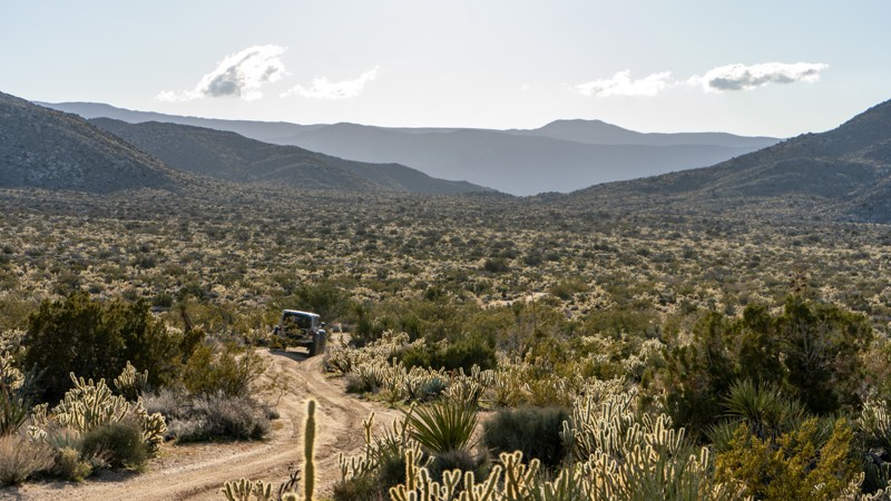
Blair Valley is a popular destination in Anza Borrego State Park due to its rich cultural and historical significance and stunning natural beauty. This valley was once home to a thriving community of Native American people, who left behind various fascinating artifacts and structures that can still be seen today.
One of the highlights of Blair Valley is the pictographs and petroglyphs found throughout the area. These ancient rock paintings and carvings provide a glimpse into the rich cultural history of the Kumeyaay people who once lived in the region.
In addition to its cultural significance, Blair Valley is known for its stunning natural beauty. Rugged mountains and hills surround the valley, home to various unique desert plant and animal species. Visitors can hike through the valley, take in the stunning desert vistas, or explore nearby trails and canyons.
Blair Valley is also a popular spot for camping, with several designated camping areas throughout the valley. Visitors can enjoy a peaceful and secluded camping experience with the sounds of nature and the stars overhead.
Overall, Blair Valley is a unique and fascinating destination that offers something for everyone. Whether you're interested in exploring the region's rich cultural history and stunning natural beauty or simply enjoying a peaceful camping trip, this hidden gem in Anza Borrego is well worth a visit.

Updated: 01/05/2023
Imperial Sand Dunes Recreation Area - Glamis
Brawley, California
The original "Where's It At" for off-road enthusiast, Imperial Sand Dunes, also known as Glamis Sand Dunes, is the mecca of everything sand in the United States. Nestled in the southeastern corner of California against the Mexico border is an area with over 200 square miles of endless sand dunes, deep bowls, sand mountains, and astonishing valleys. Glamis attracts millions of people per year from all over the world to see and play in its glory. This area isn't only famous for the endless dunes, sand drags, or races. The area also hosted popular films like Star Wars, Star Gate, Knights of Arabia, and many more. If vehicles are not your thing, the area offers a tranquil alternative to the fast-paced action with activities like hiking, horse back riding, photography, and wildlife viewing.
Many people would say this is a top-5 Off-Road Bucket List adventure destination.
Updated: 11/26/2025
Radford Front Line Road
Big Bear, California
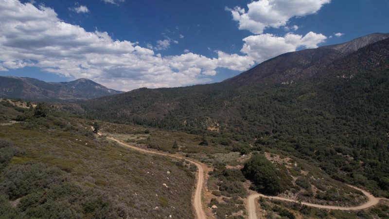
Front Line Road is in the 823,000-acre San Bernardino National Forest just south of Big Bear Lake. It provides a casual meandering adventure alongside a shallow canyon formed by the 8,000-foot San Bernardino Mountain Range to the north and the 10,000-foot San Gorgonio Wilderness mountains to the south. There are numerous places to pull over for lunch or to take in the many commanding views of the mountains and tall pines that guide your way.
Updated: 07/22/2024
3N24 - Desert Front
Hesperia, California
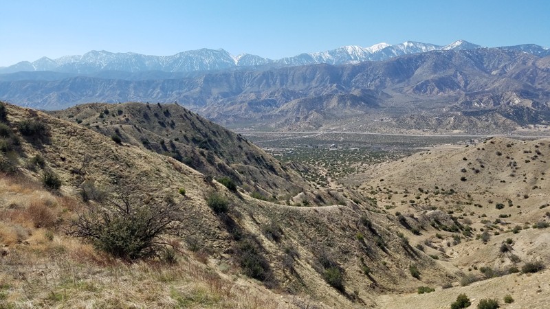
Desert Front is on the eastern boundary of the 200,000-acre Front Country Ranger District of the San Bernardino National Forest. Desert Front straddles the transition between the rain shadow caused by the San Gabriel Mountains and the beginning of the Mojave Desert. A leisurely drive along its 12-mile path brings you to several spots to enjoy the expansive views. The San Bernardino and San Gabriel mountains are seen from here and make up the major portion of what is known as the Transverse Ranges, the only California mountain ranges that are oriented east-west. The movement of the San Andreas Fault system has uplifted the surrounding mountains and ridges and down cuts formed the surrounding valleys and the Cajon Pass. Views to the east span Cajon Valley and follow Cleghorn Ridge to the San Bernardino Mountains. Looking to the southwest and across Stone Basin is the panorama of the Lytle Creek Ridges framing Mt Baldy and the snow-capped San Gabriel Mountains. As far as you can see, the Mojave Desert is to the north. Protected restoration areas to the north of the road have flourishing Joshua Tree forests taking hold and abundant wildlife whose tracks can be found on the soft sandy road.
Pets are welcome but must be kept on a leash.
Updated: 04/13/2023
3S04 - Main Divide Middle Northern Section
Corona, California
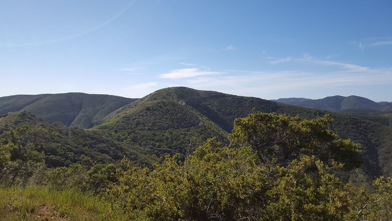
One of the best long cuts that connects the Inland Empire and Orange County, this stretch of 3S04 Main Divide runs along the ridge of the mountain range for 3 miles with 360 degree views and is perfect for all off-road enthusiasts. While traveling along this route, it is common to see lots of wildlife, amazing views of the Pacific Ocean, and even more spectacular views of the snow-capped San Bernardino Mountain Range in the distance.
Updated: 07/22/2024
East Blue Ridge Road
Wrightwood, California
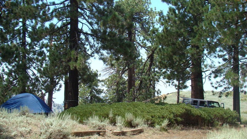
East Blue Ridge Road is an excellent trail for spending a few hours enjoying beautiful views of the eastern side of the San Gabriel Mountains. The inner rugged canyons and valleys of these mountains can not be appreciated until you experience them firsthand. This trail has two nice free campgrounds where you can relax under shady pine trees. The campgrounds are seldom crowded, a rarity for campgrounds so close and easy to reach. The trail is easy and 2WD-friendly unless the weather is abnormally poor.
Updated: 02/19/2025
Reward Mine
Lone Pine, California
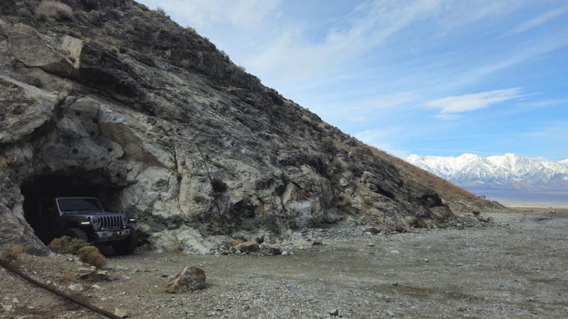
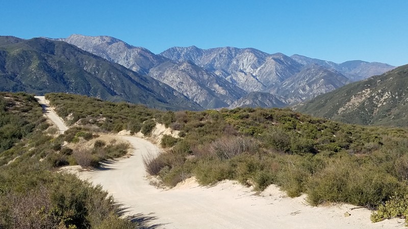
Located across the valley from Mount Whitney, the tallest peak in the lower 48 states, Reward Mine offers a one-of-a-kind offroad experience. Unlike most trails, this destination allows visitors to experience underground offroading, making for an unforgettable and thrilling ride. The journey takes you about half a mile into the Inyo Mountains, with even more opportunities for on-foot exploration. Whether you're a seasoned mine enthusiast or just looking for a unique and slightly eerie adventure, Reward Mine takes mine exploration to an exciting new level.
Steeped in history, the Reward Mine was the first operational mine in Owens Valley, running from 1860 through the 1980s under several different names. Between 1889 and 1951, it yielded an impressive 600,000 ounces of gold, along with silver, copper, and lead. Today, visitors can still see remnants of the past, including stone building ruins, ore bins, and mining equipment. However, the true highlight of this destination is the rare opportunity to drive directly into the mine itself, an experience that sets Reward Mine apart from any other offroad trail.
Updated: 04/07/2024
1N32 - Edison Road
Fontana, California
From high up on the Lytle Creek Ridge, Edison Road treats you to views of the not-so-far-off San Gabriel Mountains to the west and the Cajon Pass to the east. It is a Forest Service road that gently meanders down the southern portion of the Lytle Creek Ridge until it passes the border out of the San Bernardino National Forest. The trail also provides service access to the power line towers whose cables you will drive directly under. One unique feature of this trail is caused by the vibration of the long drooping power lines that will sing in the wind to produce a lulling meditative tone.

Updated: 04/29/2023
Walker Ridge Road
Williams, California
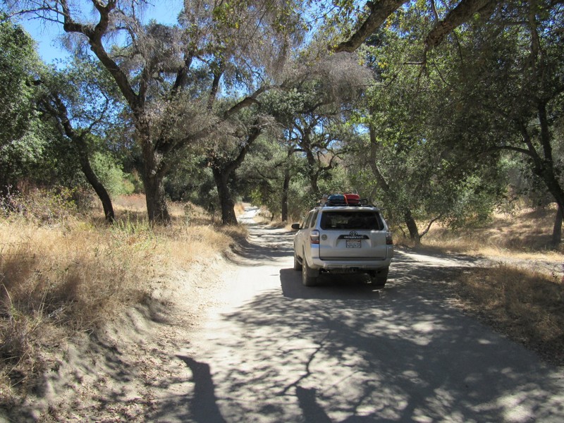
Walker Ridge Road is a fun ridge run with fantastic views down to Indian Valley Reservoir to the west and Bear Valley to the east. Beyond that are the seemingly endless scalloped ridgelines of the geological fault zone that lies between Clear Lake and the Sacramento Valley. Located entirely on BLM land, It is popular with offroaders, hunters, and target shooters. There is a nearby campground situated alongside the reservoir, on which fishing, boating, and swimming are encouraged.
Updated: 07/23/2023
17S04 - Corral Canyon Road
Pine Valley, California
Corral Canyon Road can be driven in either direction. It is one of two main roads to gain access to Corral Canyon OHV Area as well as one of the two campgrounds within the area. The road is a mixture of pavement and dirt and has sections completely covered by trees and other areas fully exposed to sunlight. The road can also be used as a connector road which forms an 18-mile loop around Corral Canyon OHV Area and Cleveland National Forest. Along with this road, the 18-mile loop consists of the following additional roads and trails:
16S17 - Los Pinos Road
4E03 - Corte Madera Road
17S06 - Skye Valley Road
4E03 - Espinosa Trail
Updated: 05/17/2024
Devil's Canyon
Ocotillo, California
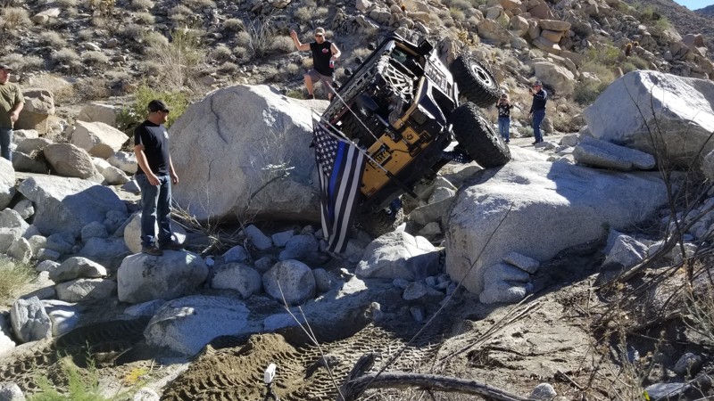
Deep in the deserts of Southern California lies a trail that few of heard of but all of them wish they had the opportunity to drive. Devils Canyon outside of Ocotillo and near San Diego, California is a life changer for most off-road enthusiasts. Full of some of the most intense rock crawling, this permit-required trail can easily be one of the legends. For many, this trail is simply just too hard. Others are forced to turn around in defeat. But for those lucky few, this is a trail of a lifetime and will likely be one of your favorite trails of all time. Full of technical obstacles, this epic 4x4 trail will be testing both man and machine to their limits. What keeps this trail as a unicorn of the off-road community is that it is only available one to two days a month at the max. So, if you think you're up for it, get your information below, gather a group, and attempt one of the most legendary trails the SoCal desert has to offer the off-roading community, Devils Canyon.

Updated: 03/17/2024
Mule Canyon
Barstow, California
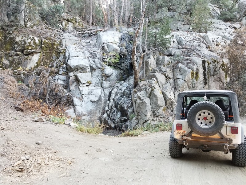
A drive down Mule Canyon Road provides a visual feast of interesting shapes and colorful landscapes. Wonderful dispersed camping locations are abundant along the trail for a great evening getaway to enjoy the sunrise and sunsets that light up the Calico Mountains. Camping here serves as a staging point to explore the many BLM trails of the Calico Mountains and view the extensive silver mining that once drove the area's economy. Be sure to visit the nearby restored Calico Ghost Town.
The trail was used in the 2004 "Kill Bill 2" movie. Moving 1.3 miles east into the trail, a flat, dusty box canyon off to the west was the location for Budd's (Michael Madsen) trailer.
Updated: 07/20/2024
Middle Control Road - Big Bear
Redlands, California
Middle Control Road might not sounds like the worlds most interesting trail, but don't let this name fool you. The trail zig zags down the mountain providing some amazing views across the valley floor. Along the route there are plenty of options to get out of the 4x4 and hike the area. Also along the route is a beautiful waterfall which could easily be a place to stop when looking for inspiration... Whether you love off-road or you're looking for one of the most scenic drives in the area, I would recommend Middle Control Road as one of your next stops.

Updated: 12/23/2025
Boulder Corridor NN135
Baker, California
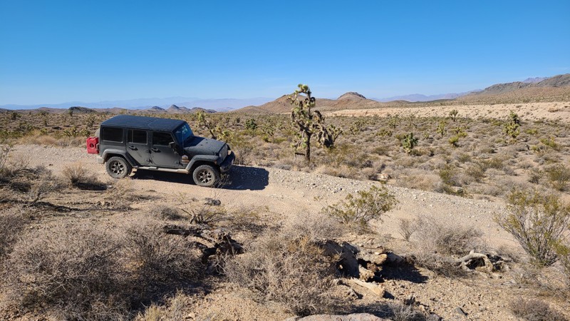
Following the boundary of the National Scenic Area through Kearny Pass of the Clark Mountains, the Boulder corridor takes you through beautiful undisturbed expanses of joshua tree forests and eventually provides views overlooking Ivanpah Lake and the massive Ivanpah Solar Electric Generating System near the Nevada border. This narrow strip of BLM land lies between the Kingston Range Wilderness and the Mesquite Wilderness areas to the north and the Mojave Preserve to the south. The road starts on the sandy desert floor, and at its halfway point begins its rise into Clark Mountains, where it becomes very rocky, rugged, and with several difficult obstacles caused by rain runoff. Some of these obstacles are on narrow shelf roads with deep dropoffs to one side and require precise wheel placement. This road should only be driven in a four-wheel drive, high clearance vehicle, and groups of 2 or more, and be prepared for self-rescue as any help is far away. Several locations are suitable for dispersed camping when following the camping guidelines of the BLM Needles Field Office.
Updated: 06/05/2022
Old Toll Road to Highland Springs
Hopland, California
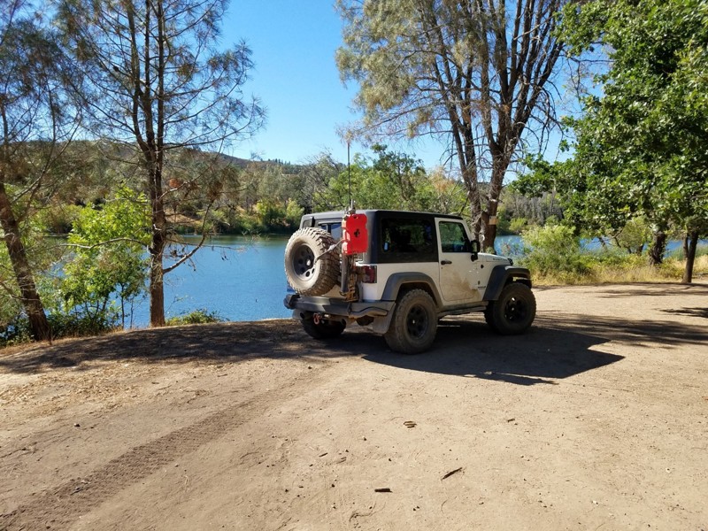
If you live in the North Bay Area and want to get away from civilization for a while and get some dirt on your tires, Old Toll Road from Hopland to Highland Springs Reservoir will take you through the volcanic landscape of the Mayacamas range; mixed chaparral and oak trees, stacked lava and serpentinite rock formations, soaring raptors (Red-Tailed Hawks are frequently seen here), and great views down to Hopland and Lake County.
This is a great backcountry route that winds through the hills and ends at a beautiful reservoir called Highland Springs --great for swimming, paddling, and fishing.
Updated: 08/26/2026
Silver Canyon Road
Bishop, California
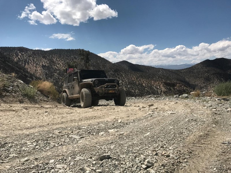
Just to the East of Bishop, CA in the Inyo National Forest lie the White Mountains and Silver Canyon Road will take you right to their heart. These mountains, which extend north into Nevada, are the home of desert bighorn sheep, pronghorn antelope, mule deer and some of the oldest trees on the face of the earth. The Ancient Bristlecone Pine Forest is home to living trees exceeding 4000 years old in two separate groves, the Schulman Grove which has a visitors center open during the summer, and the Patriarch Grove which is home to the world's largest bristlecone pine tree. Both of these groves are easily accessible during the summer from the top of the White Mountains.
Updated: 03/05/2025
Echo Canyon Trail
Furnace Creek, California
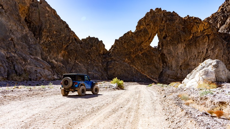
Echo Canyon boasts Death Valley's best qualities with its spectacular scenery, twisty canyons, rock arches, and mining history. It leads to the once famed "Inyo Mine," which was one of the earliest gold discoveries on the west side of the Funeral Range and also the only mine on that side, that produced more than an occasional sack of gold. The drive is peaceful through the sometimes tight canyon and is complete with an arch named the "Eye of the Needle" that you can't miss. With its nine designated and reserved campsites, scenery, and history, it's the perfect stop for a night on the way in or out of Death Valley.


Updated: 12/17/2025
Sledge Hammer
Open
/
Yucca Valley, California/
1.56 miles/
About 5 hours
If you want insanely hard, then the Hammer Trails are for you. Sledge Hammer is the southernmost trail of the Hammers in Johnson Valley, California. This extreme 4x4 trail is a collection of large boulders, massive ledges, towering waterfalls, vertical climbs, and spots you just have to drag through. This trail is going to make you work for it if you are wanting to complete it. Once on this trail, it is clear why this is one of the hardest trails in the country and why it makes the cut for one of the hardest parts of the King Of The Hammers race. If you think you have what it takes to do this run, have a rig that is built for the extreme, and have plenty of off-roading experience, then this is for you!

Updated: 06/09/2026
Chocolate Thunder
Lucerne, California
A trail that many have heard of, Chocolate Thunder is a popular rock crawling trail in Johnson Valley, California. The trail is usually part of the famous King of the Hammers track and has even been one of the famous Shootout Challenges. The short but fun trail is full of large rocks that are big enough to flip even the largest vehicles, sand that can make climbing the countless ledges and waterfalls impossible, and unique and tight obstacles that can easily destroy a body panel or two. One of the unique things about this trail is it has some great spots on the sides of the trail that any stock 4x4 can get to, making it a popular place for people to gather to watch others work their way through. Now, if you want a good challenge or are looking for a unique night run, check out Chocolate Thunder in the home of KOH, Johnson Valley, and see if your offroad rig has what it takes to complete this trail.
Updated: 02/08/2026
Powerline Road CL8315
Toomey, California
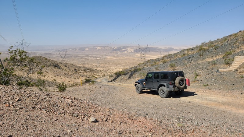
Powerline Road CL8315 is a 51-mile trek through the Mohave Desert, following a narrow path between Fort Irwin and the Soda Mountains Wilderness. Enjoy the many stunning views out over the desert and seemingly endless dry lake beds along the way. The main trail intersects many other desert roads that invite exploration and lead to abandoned mines, historical locations, and protected archeological sites. Experienced drivers with a four-wheel drive high clearance vehicle can manage this trail. This trail provides a wide range of trail conditions, from fine sand and bumpy ancient lava beds to rough, steep, and tight twisting paths through the mountains. Summer monsoons can wash out sections of the road, so be prepared to scout safe detours or turn back. This is a trail that should only be attempted as a vehicle team. Plenty of extra water and the ability to self-rescue are requirements to travel through this hot desert. Dispersed camping is available along the trail when following the BLM Barstow Field Office guidelines.
Updated: 03/16/2024
Rockhouse Canyon
Borrego Springs, California
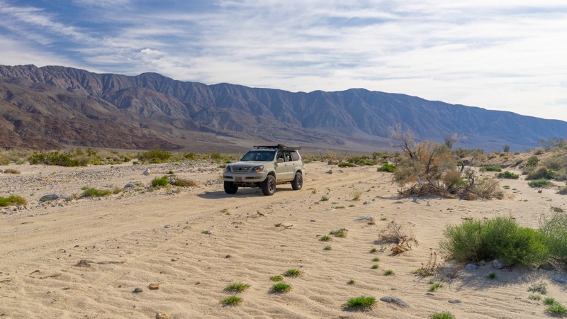
Just outside the sleepy desert town of Borrego Springs, Rockhouse Canyon Road is another fun out-and-back trail to add to your Anza-Borrego Desert State Park list, especially in the springtime. This backcountry trail runs directly along a sprawling dry lake bed in a barren valley between two mountain ranges creating interesting photo opportunities. Climbing out the back of the lake bed, the trail travels a sandy wash filled with tall Ocotillo. Although you won't find much camping on this trail, check out this scenic route through the desert if you are sightseeing in the area.
Updated: 10/24/2023
Elliot Mine Trail
Jacumba, California
Nestled within California's Jacumba Wilderness, just over a mile north of the U.S./Mexico border, lies a four-wheel-drive trail with some historical treasures waiting to be explored.
Smugglers' Cave, reached by a short hiking trail, is a man-made shelter with ties to early 19th century Native Americans as well as Mexican banditos of the early 1900s. Today, it is a welcoming, shaded resting place for Mexican immigrants braving the trek to the United States.
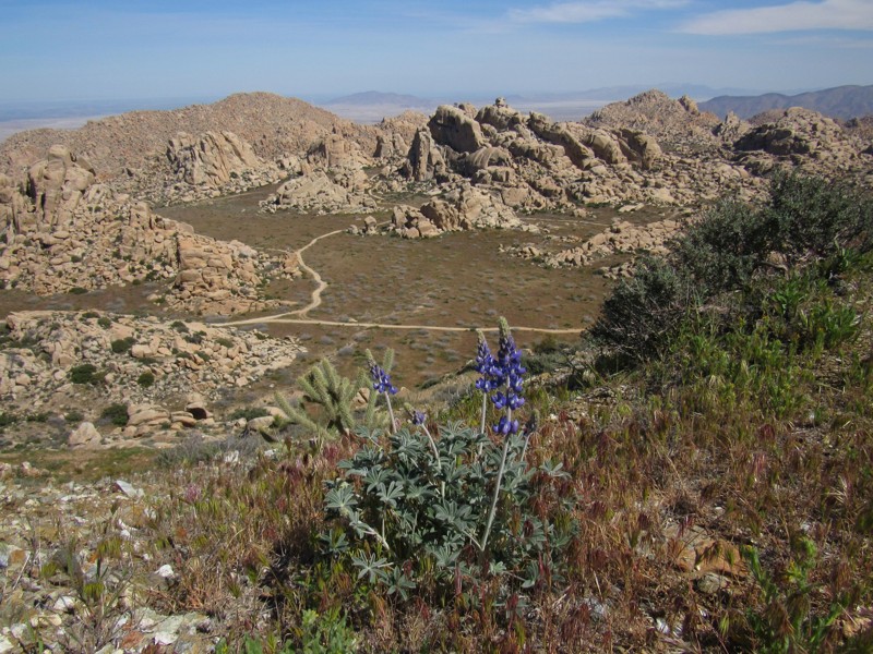
At the end of the trail is the abandoned Elliot Mine which sits atop Tahe Peak. Tahe Peak provides an astounding vista of the granitic rocky oasis known as Valley of the Moon Wilderness as well as views of the Salton Sea and Mexico.
Updated: 03/15/2024
Jasper Trail
Borrego Springs, California
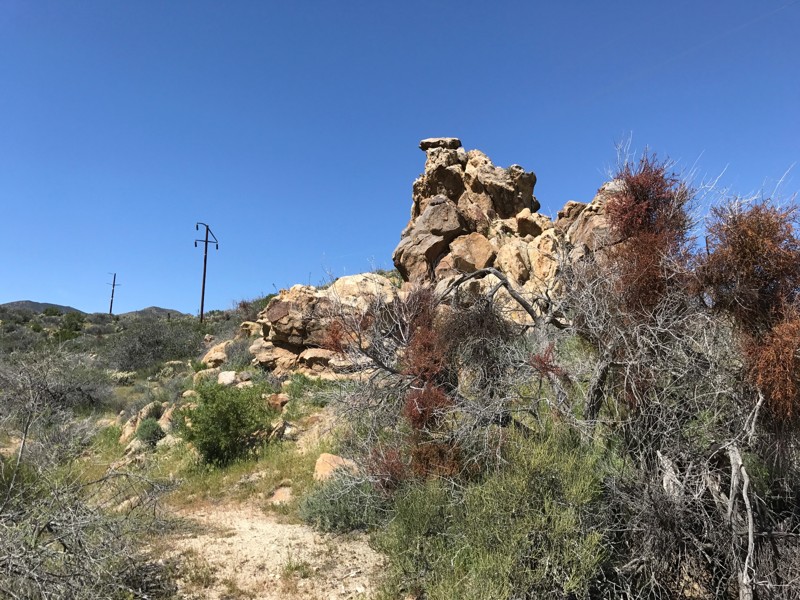
Jasper Trail is a lesser-known off-road trail on the western edge of Anza-Borrego Desert State Park. For those planning an overland expedition in Anza-Borrego, Jasper Trail offers a great connecting route between established campsites at Culp Valley Campground in the north and Tamarisk Grove Campground in the south, as well as numerous other connections to camping locations along the way. The trail also makes for a fantastic day trip, and can provide a more challenging alternative to Grapevine Canyon Road. The route features interesting rock formations of stacks or piles of large boulders, high-country desert vegetation, and high-altitude vistas as you descend into the bowl of the Anza-Borrego desert.
Updated: 10/14/2023
Palo Verde Wash
Borrego Springs, California
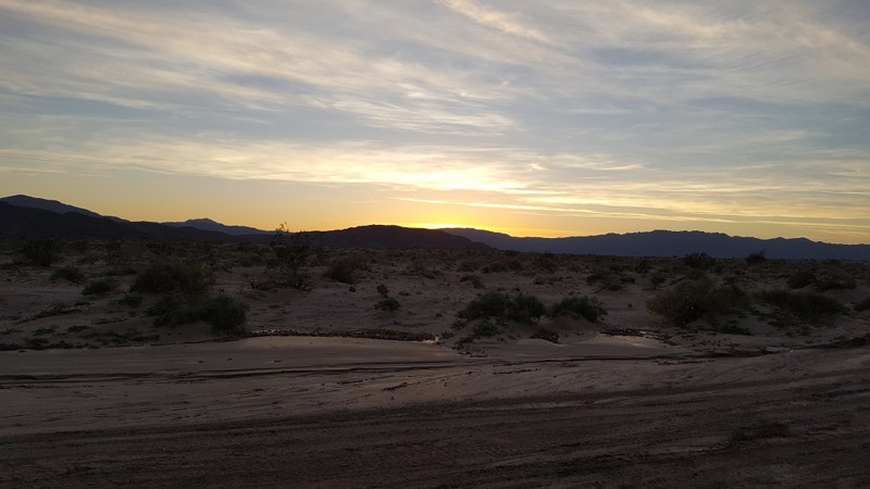
In the middle of the overland capital of the world, Anza Borrego, sits this great cut-through wash that allows you to dust off the 4x4's and let your hair blow in the wind. Many off-road enthusiasts use Palo Verde Wash as a connector from San Felipe Wash to the S22. Named after the green twigs on the trail, Palo Verde is a Spanish term for these small plants. Thus, when in the area, take a side trip down Palo Verde Wash to change things up.

Upgrade your Membership
Unlock all of the details on every Trail Guide and Scout Route.
Start a 7-day Free TrialCommunity
Partners

