




By clicking "ACCEPT", you agree to be the terms and conditions of each policy linked to above. You also agree to the storing of cookies on your device to facilitate the operation and functionality of our site, enhance and customize your user experience, and to analyze how our site is used.
California Off-Road Trails
415
Total Trail Guides 392

4106
Detailed Waypoints 524
Try a Free 7-Day Trial and unlock it all
Start a Free Trial Most Recent Trail Reviews
Rated 5/5
Open
Visited: 09/19/2026
Great beginner trail here for those looking to try out some rockier sections. Starting to trend a little closer to a rating of 4, but still a 3 I’d say

R
Rob
Rated 5/5
Open
Visited: 09/19/2026
I entered this trail from Freeway Ridge 4WD trail (31E77) and ran Black Gulch Jeep Trail up to Rancheria Road, turned around, and ran Black Gulch Jeep Trail all the way down to Keyesville Road in Lake...



Daniel Macioce
Rated 4/5
Open
Visited: 09/19/2026
Took out the vstrom 800de today and this thing was tough for someone like me who is pretty new to offroading motorcycles. I ended up turning around about half way because I wasn't sure if I would be a...
SK
sean kotrola
No Rating
Open
Visited: 09/19/2026
The trial marked by the app here is very difficult with all the recent deep washouts. Proceed at your own risk if you are by yourself with unmodified rigs. However the bypass is maintained and should ...
TB
Timmy Boby
Rated 5/5
Open
Visited: 09/18/2026
Very friendly fire watch tower volunteers and fantastic 360 degree views up top
R
Rob
Rated 5/5
Open
Visited: 09/18/2026
Great views and an easy drive through. Be sure to take the road up to the fire watch tower
R
Rob
Rated 5/5
Open
Visited: 09/17/2026
ran the trail twice last weekend, this is such a better way to go than 3n16...


Josh Noesser
Official Crew
Rated 5/5
Open
Visited: 09/16/2026
It's been 6 years since I visited this trail. It has seen some wear, but the overall difficulty is about the same, probably a bit higher now, as Waypoint 11 has suffered from traffic. Waypoint 11 ha...

Robert
Official Crew
Rated 5/5
Open
Visited: 09/16/2026
Started off from polique canyon at way point 13 and headed east. Its a great trail for most of it with scenic views. A good amount mud puddles that were fun as hell to drive through. Some I decided to...


VM
Victor Manuel Garcia
Rated 5/5
Open
Visited: 09/16/2026
Used this trail to get to Holcomb valley. Super easy and a nice drive, I can see how in the winter it can be a bit more challenging with rain and snow.
VM
Victor Manuel Garcia
No Rating
Open
Visited: 09/16/2026
Mostly easy, but heading NE there's a rock step down just a few miles in that *requires* high clearance. Banged the rear end of my 4runner despite having a 3" lift and 33" tires. A stock SUV would alm...



Carlos H.
Rated 5/5
Open
Visited: 09/15/2026
It's been over 4 years since I was last on this trail, and I was very happy to see that the old car was still there. Some research suggests that it is a 1939 Plymouth Road King 5-window coupe.


Robert
Official Crew
Rated 5/5
Open
Visited: 09/14/2026
A fun little detour off Burns Canyon. I ran this alone and stopped a few times to spot; I also used my grill camera in several places. I brushed my sliders a couple times, but no real issues. Definite...
EB
Ed Boyd
Rated 5/5
Open
Visited: 09/13/2026
easy perfect beginner off roader trail with great views and water crossing during the winter.



Dex Offroad
Rated 5/5
Open
Visited: 09/12/2026
Fenders Ferry kept giving me reasons to slow down and enjoy the ride. I loved winding along mountain ridges, following creeks, and catching glimpses of Shasta Lake's fingers tucked between the hills. ...



Rose Meirs
Official Crew
Rated 5/5
Open
Visited: 09/11/2026
super easy trail over looking the valley and 15fwy. only bad thing is that its super windy.

Dex Offroad
No Rating
Partially Open
Visited: 09/09/2026
Although you can cross the creek from Fordyce if you want, Committee Road is still closed back to the I80, so this has no exit, and you'll be forced back onto Fordyce.

Ryan Boudreau
Official Crew
No Rating
Temporary Closure
Visited: 09/09/2026
Road is still closed. I thought i read somewhere an expected 2030 opening, but can't confirm that info.
Ryan Boudreau
Official Crew
Rated 5/5
Open
Visited: 09/09/2026
This is an awesome trail . This trail is moderate with a few obstacles to make it fun. It also has incredible scenic views with a little bit of shelf roads. You can watch the full video on my YouTube ...


Dex Offroad
Rated 5/5
Open
Visited: 09/07/2026
Pretty spot on with the rating, was a little tough today with the rain but made it through in my 2023 Gladiator Overland with 2.5” lift and 35s with autolynx sway disconnects.


CT
Christopher Tanton

Shaan Heugly
Rated 5/5
Open
Visited: 09/06/2026
Drove reverse from what’s listed to the jasper trail. This is a easy but enjoyable trail with plenty of places to camp at the end of the
Shaan Heugly
Rated 5/5
Open
Visited: 09/06/2026
Bit washed near the top but nothing difficult to navigate. I headed from jasper to the highway and near the highway it did narrow. I got through with my Tacoma but there are a few pinch points I could...
Shaan Heugly
Rated 5/5
Open
Visited: 09/06/2026
Mostly easy trail but when going south to north, I did need to use 4Lo on some of the inclines with a loaded Tacoma
Shaan Heugly
Rated 4/5
Open
Visited: 09/05/2026
It had been five years since I last drove this trail. The long, annoying stretches of moguls are still there, and water erosion has added a touch more difficulty in places. It was nice to see the old ...


Robert
Official Crew
Rated 4/5
Open
Visited: 09/05/2026
This is a nice trail with great views for any 4WD with ground clearance as some sections have ruts that are 12+ inches deep. Things were very dry on my visit, so airing down the tires helped to smooth...


SG
Steve Graham
Rated 3/5
Open
Visited: 09/05/2026
From waypoint 7 to 10 the water damage is pretty bad. Waypoint 13-16 it is rocky. Nothing crazy but a few spots where patience and the right line will go a long way. Good clearance and 4x4 recommended
N
Noah
Rated 5/5
Open
Visited: 09/05/2026
Easy trail with an awesome view at the end. There were three lookouts in the fire tower and each one was super friendly and informative. Must see trail!


N
Noah
Rated 5/5
Open
Visited: 09/05/2026
fun easy trail, Butler Peak lookout is the highlight imo
N
Noah
Rated 5/5
Open
Visited: 09/04/2026
Trail was very well maintained. Thanks for the Fresno 4x4 club. It was very cold at night, into the 30s. We were on the trail two nights, 3 days and two nights at voyager rock due to a breakdown fr...
JD
John Drago
No Rating
Open
Visited: 09/04/2026
Beautiful area, but the trail itself wasn’t very interesting. I’d rate it around a 3/10, with a couple of optional sections that might push a 4.
There’s tons of dispersed camping throughout the area,...


Ryan Smith
Rated 5/5
Open
Visited: 09/01/2026
awesome trail with a lot of water crossings. just be careful of sxs and bikes since its a OHV area.

Dex Offroad
Rated 5/5
Open
Visited: 09/01/2026
Super easy trail and you can over look the high desert. Trail ends at an awesome view point.

Dex Offroad
Dex Offroad
Rated 5/5
Open
Visited: 08/31/2026
This trail is much harder than it used to be. It’s just as breathtakingly beautiful as ever. You are on your own out there. Fuel, parts, spare tire. It’s days from help if you need it so go prepared. ...

CP
Christopher Pepin
No Rating
Open
Visited: 08/30/2026
Ran this trail today and had fun. Easy trail with great views. I wouldn’t hesitate to take an experienced driver in a stock jeep up this. There are lots of trails in this area and way to get off the m...

CP
Christopher Pepin
No Rating
Open
Visited: 08/29/2026
Trail was in good shape, a little less sand makes the boulders a little bigger. People have made the bypass around the sluice a little bit longer than it used to be you miss a lot of the good rocks. O...
C
Campbell
Rated 5/5
Open
Visited: 08/29/2026
An often overlooked and amazing trail. It’s about the length and difficulty of the rubicon if you don’t hit any of the bypasses on the rubicon. We had a group of 3 lj on 40s, a jku on 42s, and an Xj o...
CP
Christopher Pepin
Rated 4/5
Open
Visited: 08/27/2026
This is most definitely a hard trail. Is the entire thing hard? Not at all. The western 7 miles are a hard packed dirt road. Then you run into 3 straight, large boulder obstacles where its clear many ...


Ryan Boudreau
Official Crew
Rated 4/5
Open
Visited: 08/27/2026
Easy drive with beautiful views and . . . Buck Rock! Lots of camping south of Buck Rock, but camping north of the Rock isn't as plentiful. There are a few others on the north, but there's one here: 36...


Carlos H.
Rated 5/5
Open
Visited: 08/26/2026
I really enjoyed this road. It's super scenic with the sierra's in the background, the white beaches, and the columns are really cool. The road is not anything challenging with a high clearance vehicl...


Ryan Boudreau
Official Crew
Rated 4/5
Open
Visited: 08/25/2026
Fun area. The hot springs are pretty popular and well-known, and because they are small, you'd better hope you are one of the first people there that day if you want to get in. The route is easy, exce...


Ryan Boudreau
Official Crew
Rated 4/5
Open
Visited: 08/25/2026
I liked this trail a lot, but it's not quite a 5-star trail for me. I feel like it's a little overhyped. Is it scenic? Absolutely! Is there tons of great camping? Totally! Is it a crazy busy? You Bet!...


Ryan Boudreau
Official Crew
Rated 4/5
Open
Visited: 08/25/2026
Road to the hot springs parking area is easy. There are regular passenger cars there. The hike is easy too. The tub itself is super scenic, but know that they are not hidden gems by any means and we'l...

Ryan Boudreau
Official Crew
Rated 3/5
Open
Visited: 08/25/2026
It's a simple road, but definitely very scenic and really only used to get from Convict to Laurel Lakes or Mammoth. Road is suitable for anything with decent ground clearance.


Ryan Boudreau
Official Crew
Rated 2/5
Open
Visited: 08/25/2026
Simple dirt road used to access other types of recreation. Many signs remind you that you aren't allowed to camp along it except at the campground.


Ryan Boudreau
Official Crew
Rated 3/5
Open
Visited: 08/23/2026
Simple, straightforward dirt road used for fishing access.


Ryan Boudreau
Official Crew
Rated 5/5
Open
Visited: 08/23/2026
Amazing views at the top of this trail. Erosion looks to be making this trail harder than it probably originally was. Most of the hardest spots are getting bypasses created around them. A short, st...



Dan Jurgella
Rated 5/5
Open
Visited: 08/23/2026
Toad Lake Road 40N64 was a long, slow, and wonderfully remote drive into the Trinity Divide. The changing mix of old pavement, dirt, loose rock and deep ruts kept the journey interesting, while forest...


Rose Meirs
Official Crew
Rated 5/5
Open
Visited: 08/23/2026
North Fork 41N53 was a fun backcountry drive through the forest west of Mount Shasta. Early in the trip, a wrecked motorhome beside the road provides unforgettable confirmation that you are on the rig...


Rose Meirs
Official Crew
Most Popular

Updated: 09/24/2025
Antelope Creek
Rimrock, California
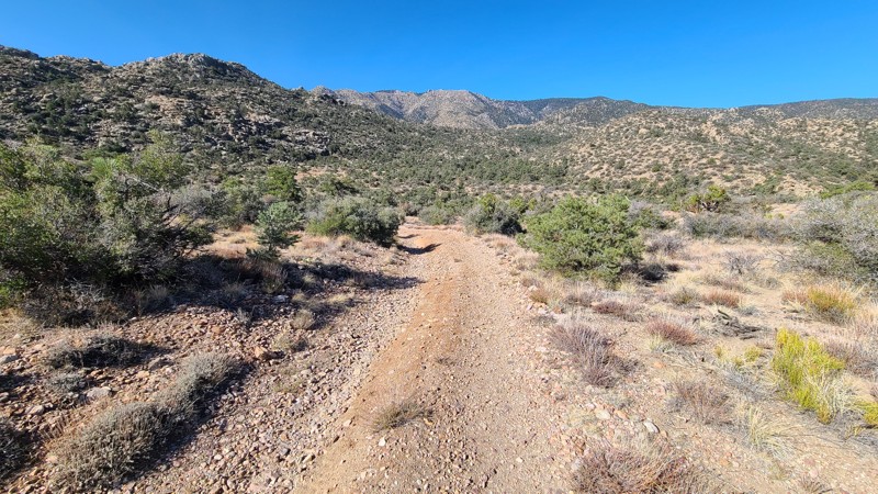
On the eastern slopes of the San Bernardino National Forest, Antelope Creek Road passes through a forest-to-desert transition zone, where both Pine and Joshua Trees share the landscape. Tucked in the surrounding hills, this remote out-and-back trail and its spurs are reached via Burns Canyon Road, and once past the obstacles near its start, the trail provides access to terrific dispersed camping and hiking trails.
The trail features large rock and boulder-strewn sections that create challenging obstacles. About 0.4 miles from the start is the hardest obstacle, requiring careful tire placement over and around two to three-foot-wide boulders. Other sections of the trail have uncomfortable off-camber sections reaching 20 degrees. This trail is best suited for an experienced off-road driver in a vehicle with larger tires and a small lift.
The trail offers several inviting dispersed campsites, under shaded trees, next to large, picturesque boulder formations, and with wonderful views of the surrounding hills. Some of these sites have existing rock fire rings, but open campfires are now prohibited here.
Updated: 09/10/2026
Antelope Cutoff
Crestview, California
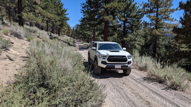
Antelope Cutoff is an easy trail not far off Highway 395. It traverses gentle hills, passes through wooded areas, and makes for a great scenic drive. The trail is mostly gravel, with some areas of small ruts from frequent travel, but this is not a concern for any vehicle with a moderate amount of clearance. Any stock 2WD truck or SUV could handle this trail when conditions are good.
Along this route, there are a few shaded sites with nice views for dispersed camping. Check with the Mammoth Ranger District for any fire restrictions that may be in effect.
Updated: 03/09/2026
Boone Road & Barnes Road
Johnson Valley, California
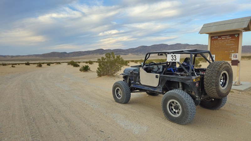
Boone Road is the main eastern entry into California’s Johnson Valley OHV Area, a legendary off-road destination best known for the annual King of the Hammers event. Year-round, it serves as a gateway into vast desert terrain and offers easy access for all kinds of vehicles, including RVs, trailers, rock crawlers, and overland rigs. The road is wide, flat, and beginner-friendly, leading to the iconic lakebed and some of the most challenging trails in the country, including the infamous Hammers.
Whether you're exploring or camping, Boone Road delivers a true desert experience. It cuts through open terrain framed by rocky hills and dry lake beds, drawing adventurers from all over. Just past the bridge, the road opens into flat, level ground that’s perfect for dispersed camping. There’s plenty of room for tents, trailers, rooftop setups, and RVs under the vast desert sky.
Updated: 03/07/2025
Chuckwalla Peak Road
Desert Center, California
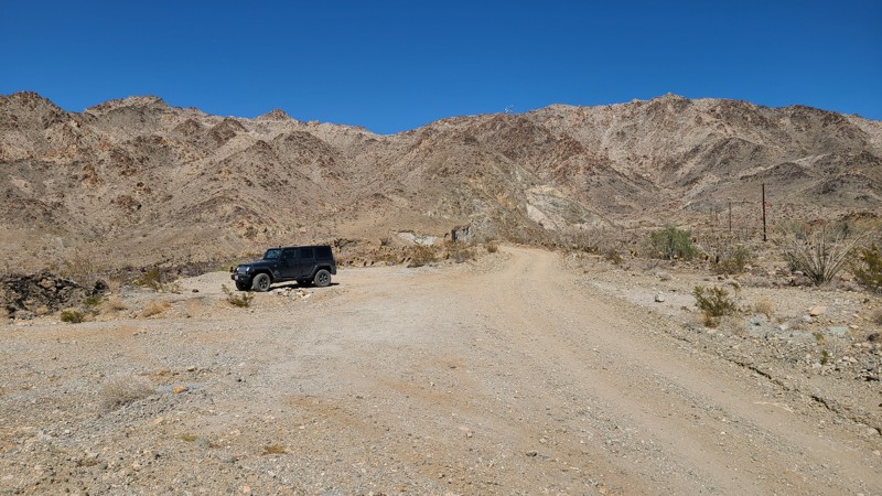
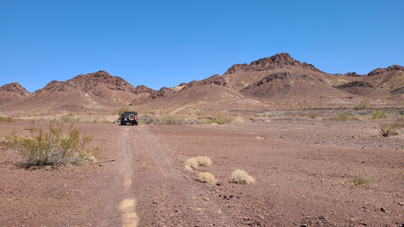
Chuckwalla Peak Road provides access to the antenna farm at the mountain's peak. Before reaching the peak, the road is gated but still offers terrific views of the desert floor and the Ornocopia Mountains in the distance. The road is flat and firm and maintained for the service vehicles frequently visiting the antenna farm at the peak. An existing campsite is located at a flat turnout on the road high enough to provide a beautiful view.
Updated: 10/15/2024
East Coachella Area EC559
Palo Verde, California
EC-559 is an up and back trail that takes you deep into the desert and up against rain-starved but still beautiful mountains. The real allure of this easy road is the Hauser and Roads End Geode Beds available to the public to rockhound.
Updated: 10/15/2024
Gas Domes Eastern Park Exit
Kane Spring, California
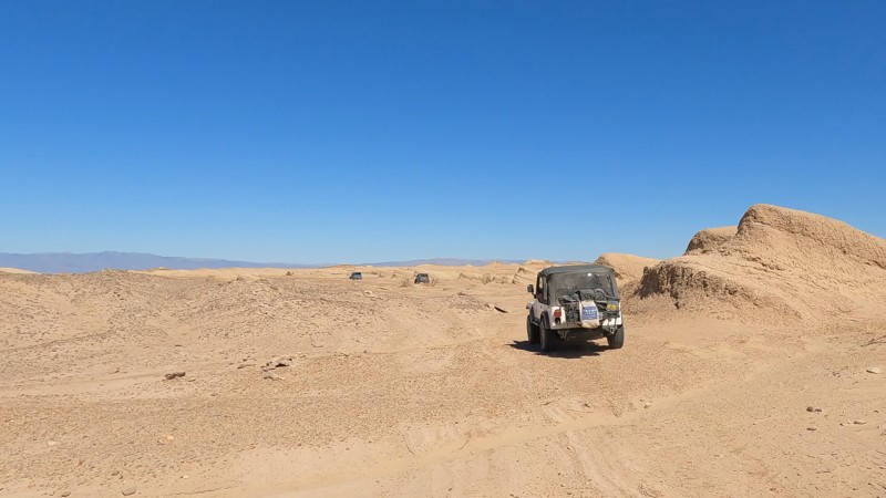
Take the short, very lightly traveled drive off to the northeast when out by the Gas Domes. Here, the unique terrain almost feels out of this world. With mini semi-petrified sand dunes, it feels like you are driving on Mars. This is also a great way to exit the park quickly if you are near the Gas Domes or Artesian Well.
The park has odd rules on camping in the area. So if you want to camp in the area, check with the park.
Updated: 02/05/2025
Juniper Flats 4325
Fizzben Heights, California
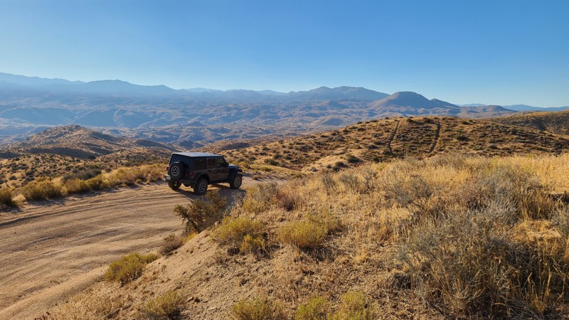
Beginning at the end of Japatul Road, JF4325 is surrounded by dense thickets of tall Junipers, from which the area gets its name. This flat, easy route intersects several trails to explore, including some that climb the area's highest peaks. Occasionally, the hills part to offer beautiful views to the northeast of the valleys below and the distant Fry and Ord Mountain Ranges. The last mile of the eastern portion of the trail becomes Bowen Ranch Road and provides a connection to JF3330.
The trail is easy, with no obstacles, except for the occasional grazing cattle that should be gently avoided. Some rocky sections are easily managed using a 2-wheel drive high clearance vehicle, but exploring the many intersecting trails will require a 4x4. The Juniper Flats Subregion is a Limited Use Area requiring vehicles to stay on marked trails.
The entire trail is on Bureau of Land Management land, and dispersed camping can be enjoyed on the trail when following the Bureau of Land Management Dispersed Camping Regulations. Several suitable dispersed campsites can be found along the trail amongst the shading Junipers. Open fires may be prohibited, and it is the responsibility of campers to know the Campfire Restrictions.
Updated: 06/05/2022
Connector Road
Brawley, California
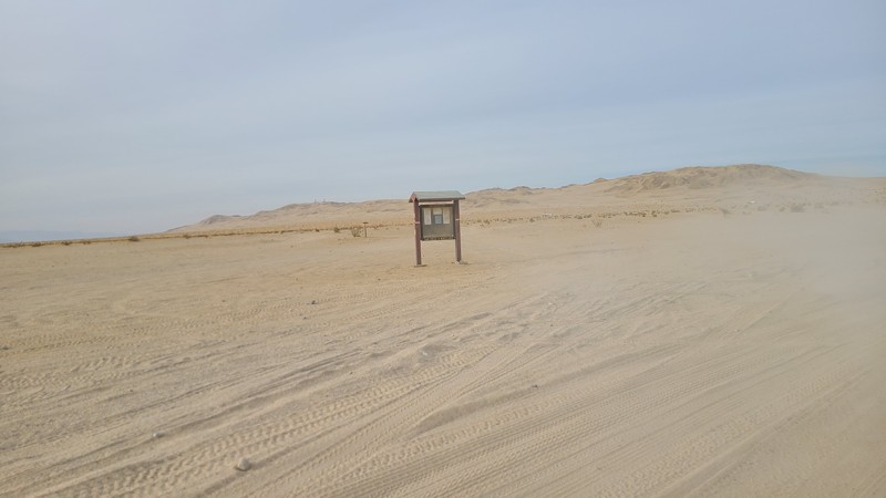
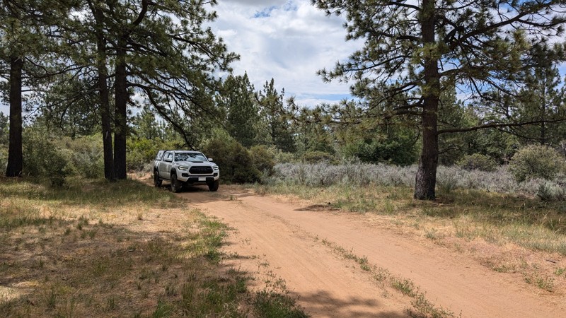
The connector road in The Superstitions is a cut across from Wheeler Road to the hills and Superstitions Sand Dunes. This very basic trail has lots of camping opportunities that are easy to get to. It is also a great place to set up a basecamp allowing for a full weekend of fun and exploration in the Superstitions.
Updated: 10/15/2024
Timbers Edge Rc H
Mount Laguna, California
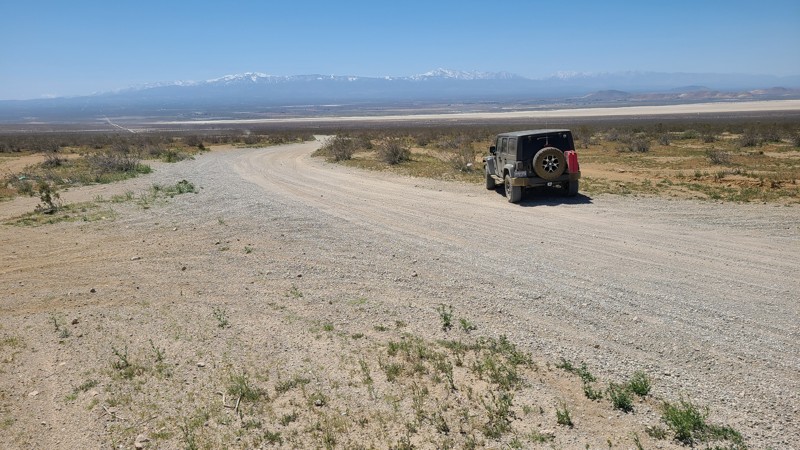
An easy spur off of Upper Kitchen Creek Road with two nice places for dispersed camping. The road is fairly rutted so it may be a little difficult for minivans and camper vans.
The road is in Cleveland National Forest, where dispersed camping is allowed but requires the appropriate permits, an Adventure Pass, and/or Campfire Pass (even for gas stoves).
Updated: 10/15/2024
Mountain View Road
El Mirage, California
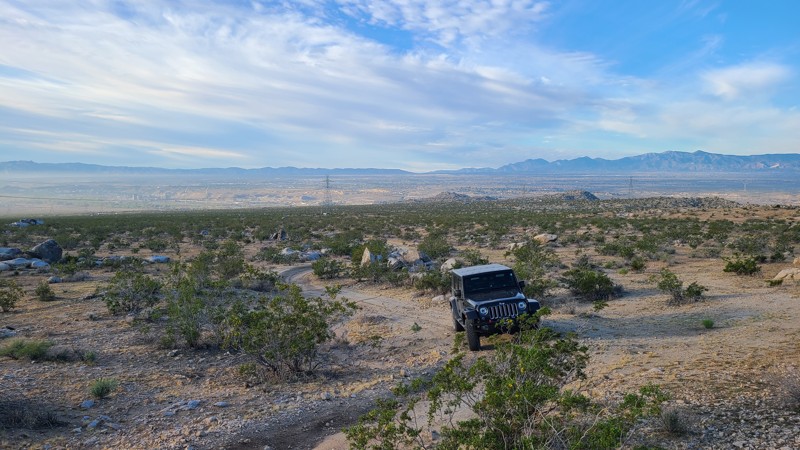
Cutting through the middle of the 27,000 acres El Mirage OHV Recreation Area, Mountain View Road has ten improved multi-site dry campgrounds with shade covers, benches, and grills along its length while providing access to the many trails in the area. As the road climbs, expansive views of the El Mirage dry lake and the snow-capped San Bernardino Mountains are revealed.
The road is wide and graded flat, allowing passenger and recreational vehicles with trailers to reach the campsites and the large staging areas on either side of the road.
There is a $15 charge for one day/night access to the area. Dispersed camping is also available on the many rugged trails throughout the area.
Updated: 10/15/2024
Stoddard Valley 6504
Victorville, California
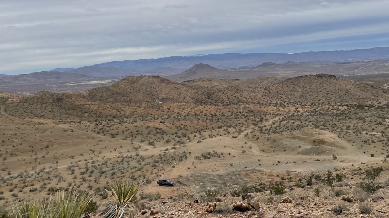
SV6504 is a straight-through trail along the southern edge of Quartzite Mountain. The trail offers fantastic views and great campsites huddled amongst striking boulder formations.
Almost the entire trail is on public land, offering excellent dispersed campsites throughout its length that can be used when meeting the BLM Camping Guidelines.
During high fire danger, campfires may be restricted, and if planning to camp here, one should review the current BLM Campfire Restrictions and have a Campfire Permit.
SV6504 has only a hard stretch at its northern end, requiring a high clearance four-wheel drive vehicle, but that short section is easily bypassed, making the entire trail an easy two-wheel drive.
Updated: 02/04/2025
Apex Mine Trail
Bell Mountain, California
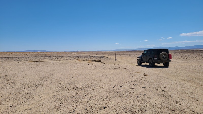
This trail outside of Victorville, California, leads to the abandoned Apex Mine. It is a simple dirt trail with small ruts that any 2WD with ground clearance can manage. 4WD is necessary if you want to explore the side trails in the area. Apex Mine has multiple mineshafts. All are gated or blocked. The mines are unsafe to enter, so do not attempt to get past the gates. Dispersed camping is possible on small flat areas along the trail.
Updated: 10/15/2024
Coyote Lake Rd CL8128
Venus, California
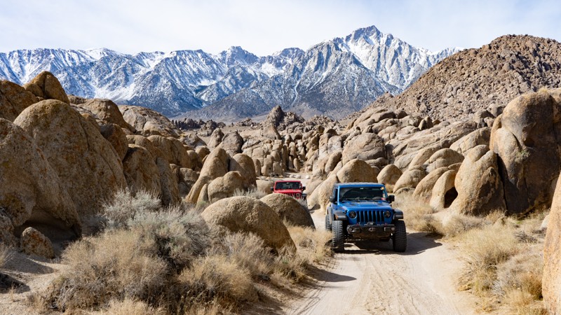
Starting at the paved Fort Irwin Road, CL8128 travels on a low basin along the edge of and across the dry Coyote Lake. Flat and sandy, it is an easy trail for beginning off-roaders. Only the first mile is BLM land, and the remainder of the trail is right of way. Camping on BLM land can be done when following the guidelines of the Barstow Field Office.
Updated: 03/13/2025
Movie Flat Sites 19-30
Lone Pine, California
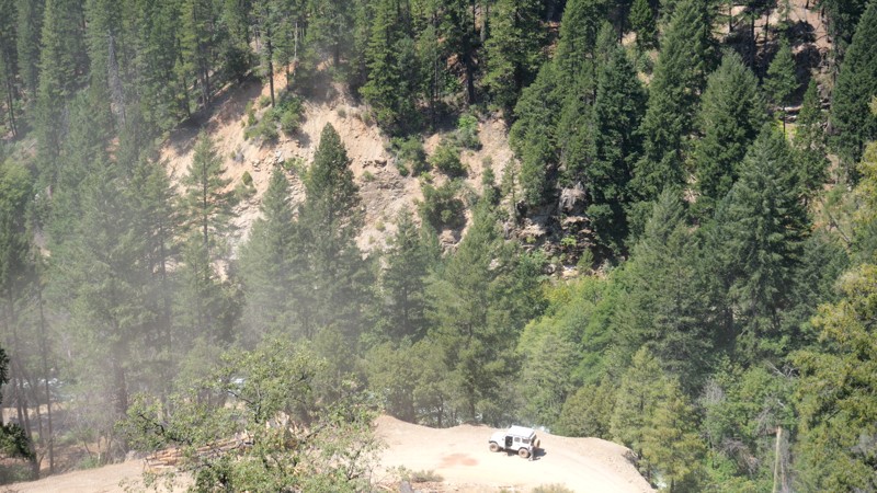
This route in Movie Flats is directly off of the main Movie Road and is used to access a plethora of designated campsites. When seeing the iconic photos of people camped within the rounded sandstone structures with the jagged Sierra Nevadas in the background, this is most likely where those photos were taken. The entirety of this route is suitable for any high-clearance vehicle, but those towing trailers will need to proceed with caution as many sections are tight and narrow.
About the camping on this route:
All dispersed camping is designated to a specific site and requires a permit. A permit can be obtained online or at the Eastern Sierra Visitor Center or kiosks located on Movie Road and the main entry point in Lone Pine. Permits need to be signed and displayed on your dashboard.
The BLM has created a map showing the site numbers. However, those numbers are not used in the field, but each site is clearly marked with either a camping allowed or no camping allowed symbol on a clearly visible sign. Please be aware that all sites are first come, first served, and a permit does not guarantee you will find a site. Due to the area's popularity, it is best to arrive early.
There are six portable restrooms throughout Alabama Hills. If you do not want to drive or walk to one, you must bring your own system to pack out human waste.
Below is a brief description of each site, listed as if you were driving from the south to the north.
- 19: Is in the open next to the road. Can use a trailer if accessing from Movie Road nearest point.
- 20: Smallish and suitable for a rooftop, tent, or very small travel trailer.
- 21: Is directly on the edge of the road but suitable for a trailer if accessing directly from Movie Road nearest point.
- 22: Split the road so that you park on one side and tent on the other, or two rooftops can take up each side. It is guaranteed that others will drive directly through your site.
- 23: 4wd or high clearance is most likely needed. It provides a good amount of privacy and is only large enough for one vehicle and a tent or two rooftops.
- 24: Sizeable and flat space good for up to four vehicles.
- 25: Directly on the road edge. It is large but not exactly flat and provides a good view of the mountains.
- 26: This is a larger site, but not that level, but it does provide a bit more privacy than others in the area.
- 27: Pull in suitable for a trailer but only if accessed from its nearest point to Movie Road.
- 28: It is a large site, but all that flat.
- 29: Right next to the road, which is small and great for a truck camper.
- 30: This is a pull-through large enough for two tents only, with a view and direct earshot of Movie Road.
Updated: 10/15/2024
Seneca Road
Caribou, California
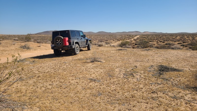
Deep in the Plumas National Forest sits an easy dirt trail that takes you from Butt Lake to Lake Almanor. As you travel down the trail, you will pass Butt Lake, a California reservoir. Once you pass the lake, you will climb back up, drop down the mountains, and pass over the North Fork Feather River before starting the long climb up the mountain, which ends roughly 4832 feet above sea level. The trail sits on the side of the sheer mountain cliffs for most of the route, giving it exceptional beauty, but it will also pass through burn scars. The road is maintained and suitable for any high clearance vehicle. No camping is found along the route.
Updated: 10/15/2024
Iron Mountain 5855
Wild Crossing, California
IM5855, at its end, reaches into the Iron Mountain range. Some maps name this road Hillview Truck Trail, and the name is apparent as the run sweeps through the valley amongst the surrounding hills. This is an easy trail requiring only a two-wheel drive vehicle.
The road has a few pre-disturbed sites for dispersed camping.
Updated: 10/15/2024
Rattlesnake Wash
Johnson Valley, California
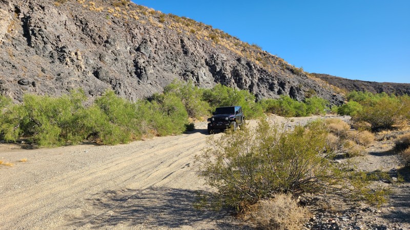
Located south of the popular Johnson Valley OHV area, Rattlesnake Wash follows a dry wash paralleled by a green line of trees and flourishing wildlife. At its end, it intersects with Rattlesnake Canyon Road.
This easy trail requires a high clearance two-wheel drive vehicle due to the deep sand.
Along this trail are a few established dispersed campsites, and dispersed camping is allowed here when following the Bureau of Land Management Camping Guidelines. Open fires are generally prohibited, and it is the responsibility of campers to know the Campfire Restrictions.
Updated: 10/15/2024
Charcoal Kiln Road
Palo Verde, California
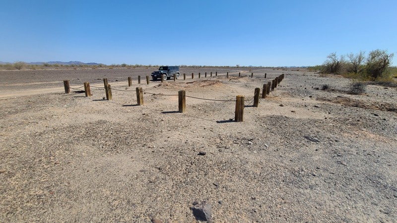
This short and easy spur over natural desert concrete or caliche is a great addition to include during your exploration. Up this road, you'll find the remains of two charcoal kilns. The structures here provided charcoal to the many mine sites in the area. Kilns were used to convert raw wood to charcoal, then hauled to mining sites. Charcoal provides the benefit of burning hotter and more slowly than wood. A benefit of this kiln location is the large wide wash you see to the west. The wash is filled with dead trees washed down in the temporary rivers that occur during the heavy torrents of rain and are then captured by the many living trees growing in the wash.
Updated: 01/06/2026
Ball Flat Road
Big Pines, California
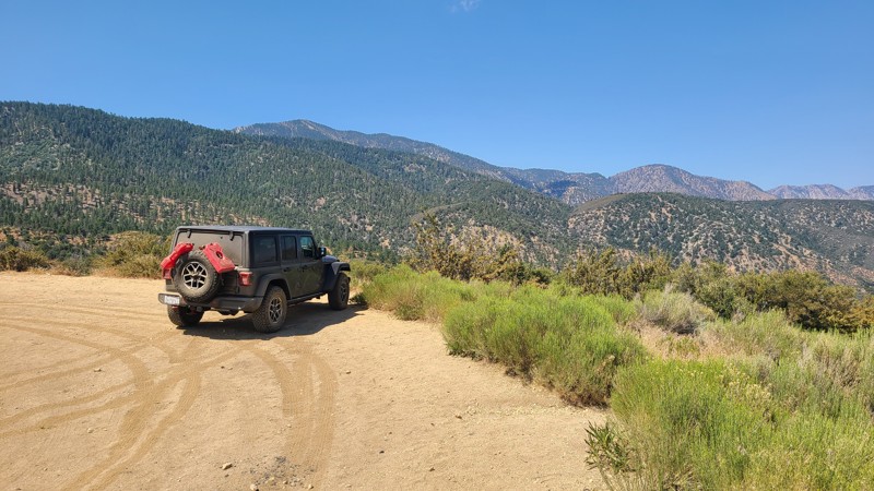
An easy trail with convenient access right off Big Pines Highway that provides wonderful dispersed camping amongst the tall pines and great views out over the desert.
Dispersed camping is allowed here when following the Angeles National Forest Dispersed Camping Restrictions. Campfires are prohibited.
Updated: 01/05/2023
Tilted Table
Brawley, California
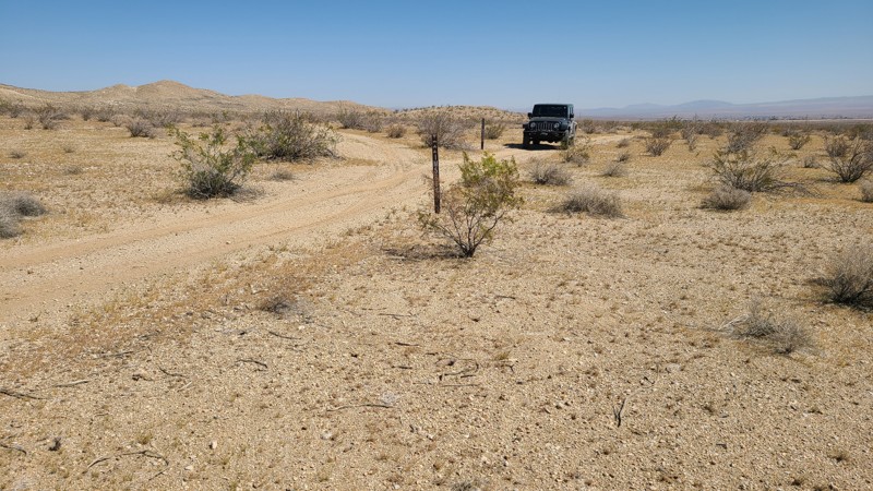
One of the many short trails in The Superstitions of California, Tilted Table is a short trail that connects Mine Trail and Voodoo. The trail quickly rises out of the wash, making for some great views. The trail is mostly just a connector but does offer some areas to camp and relax. So if you are in the area and not happy with the camping spots you have found, you can check out this trail to see if it would work better for you.
Updated: 10/15/2024
Hillview Road
Wild Crossing, California
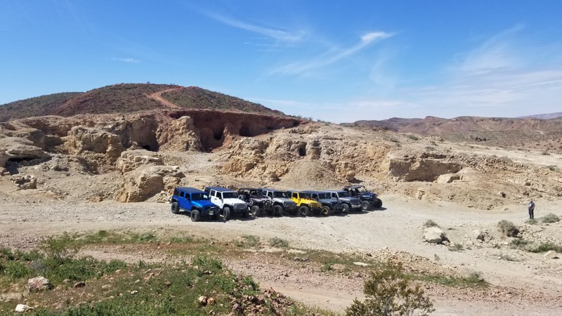
Finding its way north over a flat sandy road through the valleys of the Iron Mountains, Hillview Road eventually reaches the busy Highway 58. A two-wheel drive vehicle will do fine on the road.
There is a large camping/staging area with rock fire rings along the trail.
Updated: 10/15/2024
Bismark Short-Cut
Yermo, California
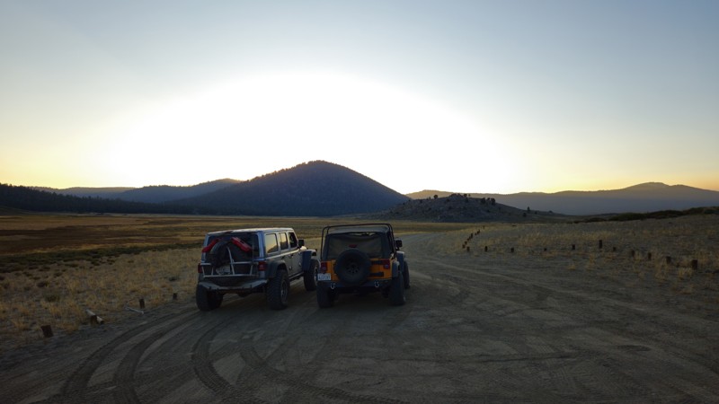
The Bismark Shortcut in the famous Calico Ghost Town area, located in Yermo, CA, is a shortcut on Doran Canyon to the Bismark Mine. For the longest time, people thought this was Doran Cayon Trail. To many's disbelief, it isn't. This trail immediately turns right where the canyon opens up and heads up a tailing pile/jeep trail up the side of the mountain. You pass many open mines just feet off the trail along the route, so use caution while driving the trail. Once on top, you are at the Bismark Mine main spot that everyone photographs, which is the towering open-face mines where the cliff wall was just destroyed by what looks like a giant woodpecker looking for what might be his last meal. The trail is comprised of mine tailings, with rocks ranging in size from golf balls to baseball. These rocks have been compacted into a solid surface for the last 100 years. It is common for rocks to move around a little near the top of the trail as they are still settling in. This trail is suitable for any high-ground clearance vehicle with aired-down, durable off-road tires. Offroad experience is recommended, and 2WD is generally sufficient. Less experienced drivers may require 4WD.
Since this is just a shortcut, there are no suitable campsites along the trail. One spot at the top could support a group of 5+ vehicles at the top of the trail at the Bismark Mine. The spot is flat but mostly tailings, so the ground wouldn't be conducive to sleeping on it. Also, watch out for all the open mineshafts, as they have been known to ruin people's days.
Updated: 08/11/2026
Anderson Point Road
Olancha, California
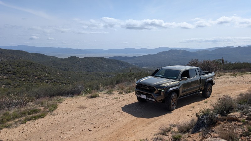
Located on the eastern side of Monache Meadows, 20S05C is a scenic in-and-back trail commonly used to access the Pacific Crest Trail. This easy, offroad route is perfect for a relaxing evening drive, offering stunning views of the surrounding landscape and ample opportunities to spot birds of prey perched on rocks, scanning the tall grasses for their next meal. While the trail provides a serene experience as it winds through the meadows to the wilderness boundary, it does not have any suitable camping locations along the way.
Updated: 09/29/2025
Puerta La Cruz
Holcomb Village, California
9S04 Puerta La Cruz trail is a side trail off of 9S05 Indian Flats. It runs 2.9 miles, down almost 700 feet in elevation, towards Holcomb Village, but terminates at a locked gate. This is an out-and-back trail, as there is no access to Highway 79. The final stretch of trail near the gate has a superb view overlooking the Warner Springs Valley, Palomar Mountain, and Lake Henshaw. While the trail itself may not be a destination, it does offer enticing views of the surrounding valleys and makes a great add-on for those wanting to add more miles to their offroad adventure.
The trail is primarily smooth, graded dirt, making for an easy drive. However, it becomes increasingly rutted towards the southwest section, with the deepest ruts being less than 6" deep and peppered with golf-ball-sized rocks. Any high-clearance 2WD vehicle can easily complete the trail. The northeast end resides in BLM land while the southwest end sits in the Cleveland National Forest, which requires a pass.
There are at least two pull-outs that could be used for dispersed camping in a pinch, but they have no shade and do not provide any privacy from the trail.

Upgrade your Membership
Unlock all of the details on every Trail Guide and Scout Route.
Start a 7-day Free TrialBrowse Trails in California by City
Browse every California city with offroad trail guides.
Community
Partners

