







By clicking "ACCEPT", you agree to be the terms and conditions of each policy linked to above. You also agree to the storing of cookies on your device to facilitate the operation and functionality of our site, enhance and customize your user experience, and to analyze how our site is used.
Arizona Off-Road Trails
373
Total Trail Guides 359

4679
Detailed Waypoints 676
Try a Free 7-Day Trial and unlock it all
Start a Free Trial Most Recent Trail Reviews
No Rating
Open
Visited: 09/23/2026
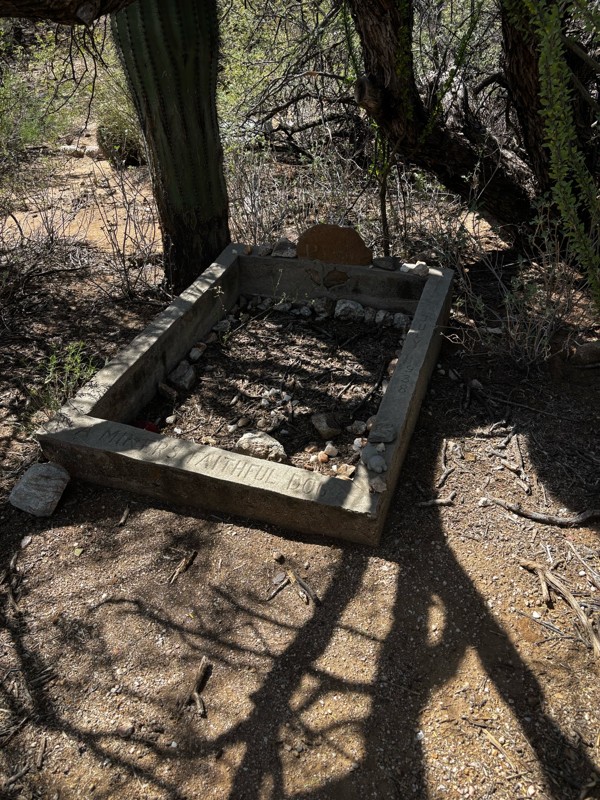
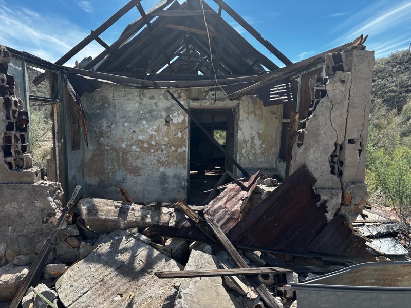
Gets a little technical at the end but the difficulty is spot on.

KR
Keith Ringiesen
No Rating
Open
Visited: 09/22/2026
The road was very smooth with the normal views running through the pines. Reminded us of many of the trails in the White Mountains.
T
Tom
No Rating
Open
Visited: 09/22/2026
Even with all of the recent rain, this trail was mostly dry ... a few ruts had water in them. Looks like there was a bad washout at the northern end of the trail on Apache Maid between waypoints 7 an...
T
Tom
No Rating
Open
Visited: 09/22/2026
Still an easy trail ... even after all of the rain.
T
Tom
Rated 4/5
Open
Visited: 09/22/2026
Hard pack, easy forest service road that is a great back way to the North Rim of the Grand Canyon.

Tyler D’Hulst
Rated 4/5
Open
Visited: 09/22/2026
Spring Canyon is a beautiful drive. We didn’t go out to the cabin but used this western section of road coming back from Crazy Jug

Tyler D’Hulst
Rated 4/5
Open
Visited: 09/22/2026
We took this out to Crazy Jug. The northern section is hard packed forest service road. Not difficult. Very scenic drive through the ponderosas.

Tyler D’Hulst
Rated 5/5
Open
Visited: 09/22/2026
View point is spectacular! Trail was easy going out, no obstacles at all. Saw a Toyota Camery at the viewpoint.


Tyler D’Hulst
Rated 3/5
Open
Visited: 09/22/2026
An alternative route out to Crazy Jug Point. It’s easy and can be scenic in areas. I’d recommend West Ryan out to Crazy Jug though.
Tyler D’Hulst
Rated 3/5
Open
Visited: 09/22/2026
A quick connector trail through the burn patch.
Tyler D’Hulst
Rated 5/5
Open
Visited: 09/20/2026
Leviathan Mine trail is a full day trip. Though it is only 20 miles in length the travel is slow and rough. Majority of the trail you will be going between 5-10 MPH. Then once at the end it connects w...



Eric Gartin
Official Crew
Rated 4/5
Open
Visited: 09/19/2026
Simple road, well graded today. Many mountain bikers coming down from the West out of Breezy Pines. Not too many people out until approaching Senator Hiway. We went East to West as I think thats a bet...



Jeff Burnett
Rated 3/5
Open
Visited: 09/19/2026
The trail itself is not spectacular, it's pretty flat across the plains. However, driving up to the overlook and seeing a huge gaping hole in the ground is a great juxtaposition to the flat trail. The...
Tyler D’Hulst
Rated 3/5
Open
Visited: 09/19/2026
A nice trail ride from the main road down off the plateau. It's graded forest service road until the switchbacks. The switchbacks themselves are not difficult, road is not graded. This section has bee...
Tyler D’Hulst
Rated 3/5
Open
Visited: 09/18/2026
The end of the trail is not well marked, and can cause confusion. Also, vehicle passes are required for all backcountry routes within the Lake Mead National Recreation Area.
Eric Gartin
Official Crew

Ted Whisler
No Rating
Open
Visited: 09/17/2026
Nice ride west side a little rocky but rating is true to #2


Ted Whisler
Rated 3/5
Open
Visited: 09/15/2026
A nice drop off the plateau heading towards Marble Canyon. Not a difficult road. Road is weathered but not challenging.
Tyler D’Hulst
No Rating
Temporary Closure
Visited: 09/15/2026
Road closed due to multiple washed out wash crossings after the turn off to go up the mountain. "Road Closed" sign put out by BLM on trail.
Tyler D’Hulst
No Rating
Temporary Closure
Visited: 09/15/2026
After the turn off to head up the mountain there are multiple washed out wash crossings. A "Road Closed" sign has been put out by the BLM.
Tyler D’Hulst

Ben Ruddell
Official Crew
Rated 4/5
Open
Visited: 09/14/2026
Bogles Ranch Road is a great Sunday afternoon drive type of dirt road that climbs up in elevation and gives some spectacular views of the surrounding area. The first half passes through State and Priv...


Eric Gartin
Official Crew
Ben Ruddell
Official Crew
Rated 3/5
Open
Visited: 09/14/2026
Antares Road is an excellent way to travel from Route 66 to the eastern portion of the Lake Mead National Recreation Area. This wide county road is well maintained with minor washboarding, most of whi...


Eric Gartin
Official Crew
Rated 3/5
Open
Visited: 09/14/2026
Hackberry road is a wide dirt road with minimal erosion damage and washboarding. There are a couple of larger washes that cross Hackberry road creating wide stretches of loose sand which can cause iss...


Eric Gartin
Official Crew
Rated 3/5
Open
Visited: 09/13/2026
This is a very rough, rocky, & slow going trail. Expect around 4+ hours for the trail & another hour to get the highway. One of those trails I'm happy I did but I wont be back personally. High clearan...

Brandon W
No Rating
Open
Visited: 09/12/2026
I think the rating is spot on. The ruts and washouts at the beginning are not as bad and if you hug the inside of the shelf road they can be avoided. The middle part is same general sandy wash with ov...



Greg Page
Rated 4/5
Open
Visited: 09/11/2026
Ran this trail as part of a larger loop. Trail is in great shape. Easy for standard 4x4 with no lift. Passengers can do it until maybe the very end by the lake where the road gets rocky and washed out...


Jeff Burnett
Rated 5/5
Open
Visited: 09/10/2026
This is one of my favorite scenic trails in the area. The trail is easy to travel, but does have some optional short trails that will test your vehicle. The views from the Grand Wash Cliffs of the Hua...


Eric Gartin
Official Crew
Rated 3/5
Open
Visited: 09/07/2026
This trail by itself is nothing special. It is mostly used as an access road to get to the more technical trail such as Homecourt, Twister, and Waynes World. This is a great trail for the beginner to ...


Eric Gartin
Official Crew
Rated 3/5
Open
Visited: 09/07/2026
This trail is an enjoyable alternate route when traveling on Blake Ranch Road (7163). The trail is easy with only a handful of spots with erosion damage. The few established camping sites appear to n...


Eric Gartin
Official Crew
Rated 5/5
Open
Visited: 09/07/2026
Ran this trail from Boynton Pass Road to Loy Butte Road (opposite direction from what is listed). Ran into a few rental ATVs and a couple of Jeeps heading the opposite way. This was a fun trail wit...



Daniel Macioce
Rated 5/5
Open
Visited: 09/07/2026
This trail was a lot of fun, plus the views were amazing. I ran the trail in the order posted, starting at the south trailhead and finishing at the heritage site. Past a motorcycle, a few jeeps and a...


Daniel Macioce
Rated 4/5
Open
Visited: 09/07/2026
Nice trail, ran West to East. For some reason the map shows this a a one-way trial, East to West. That is not the case, it is a two way trail. Was pretty washed out starting around mile 12. Plenty roc...


Jeff Burnett
No Rating
Open
Visited: 09/06/2026
New trail for me. You didn’t know what it would throw at you around every corner which is why you try to find new trails or old forgotten ones
KB
Kory Burden
Rated 5/5
Open
Visited: 09/06/2026
The trail is no joke—steep, narrow, and technical enough that you’ll want to be comfortable with off-camber shelf roads, rocky terrain, and washouts that will test your vehicles articulation. The rew...



Bobby Rumbaugh
Official Crew
Rated 5/5
Open
Visited: 09/06/2026
Fun trail if you don't want to do pyeatt draw itself. Ran this trail 3yrs ago and definitely a little more erosion but, still any truck or suv with good factory ground clearance can do it. From previo...
JM
James m
Rated 4/5
Open
Visited: 09/06/2026
Ran this trail from I-17 to Sedona. Extraordinary views descending into Sedona. As others have noted, there are lots of rock on the trail, making it slow going. Passed a large number of Pink Jeeps ...


Daniel Macioce
Rated 4/5
Open
Visited: 09/05/2026
This one definitely changed over the last few years. The southern section has some legit, steep, off-camber sections. YOU NEED experience, backup, and a capable vehicle on this one now. It's not supe...


.jpg)
Bobby Nelson
Official Crew
Rated 4/5
Open
Visited: 09/05/2026
Another amazing time on this scenic crossover. We came in from Walnut Canyon and finished out on Price Road after about 6 hours. A challenging and hot day for the old TJ. Rincon Road has evolved into ...


Bobby Nelson
Official Crew
Rated 4/5
Open
Visited: 09/05/2026
We started exactly at sunrise to try and beat the heat. We planned to crossover to Box Canyon and out on Price Road. It ended up taking us 6 hours, even with all the photos and filming we did. A chall...


Bobby Nelson
Official Crew
Rated 5/5
Open
Visited: 09/04/2026
We recently ran Four Peaks after the monsoon rains. Here’s what we found and what to expect if you’re planning to run it. Have a GR8 day!

Jeep 4 Dirt
Rated 5/5
Open
Visited: 09/04/2026
Breathtaking views. Definitely don't rush through the trail. Devil's staircase was a bit slippery but awesome. A few tight stops here and there, but a trail that's a must on anyone's to do list.



Christopher Bradley
Rated 4/5
Open
Visited: 08/30/2026
Id say this is a 3.5 to 4 trail. There are some obstacles, but nothing you really need to think hard about how to approach. If you send your vehicle at it in 4 low you'll get through everything.



Justin Holsinger
Rated 4/5
Open
Visited: 08/28/2026
Rim Road (FS300) West to East. Very well groomed gravel forest road. Accessible by just about any vehicle thats not been lowered. Who does that anyway? Scenic views the whole route. Hard to believe on...


Jeff Burnett
Rated 4/5
Open
Visited: 08/28/2026
Not a bad road but it was crowded with sxs and vehicles towing campers. Hard to rate 5 stars for a busy road. Super easy any vehicle can do this. Part is paved near the freeway but the rest is gravel.

Tony Rockwell
Rated 4/5
Open
Visited: 08/28/2026
I rated 4 stars just due to the volume of sxs & camper trailers on the road.
Easy drive, any car can do this.
Ran from sheep springs to munds park, see other reviews for full route.

Tony Rockwell
Rated 4/5
Open
Visited: 08/28/2026
I ran Bar M in reverse to get to this trail. Then headed toward Casner Park Road. (See reviews I did on each of those)
Nice easy trail that is less rough than Bar M.
Nice drive through trees.


Tony Rockwell
Rated 5/5
Open
Visited: 08/28/2026
Very bumpy due to rock infused trail. A few larger rocks, 8-12” tall in places but most stock 4x4’s should be able to navigate around or over them. I would say any 4x4 with all terrain tires could nav...


Tony Rockwell
Most Popular

Updated: 10/15/2024
Wagon Draw
Heber-Overgaard, Arizona
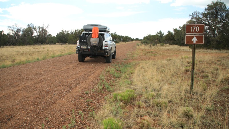
Wagon Draw runs through the Sitgreaves National Forest, connecting Heber Wildcat in the south to Heber Mormon Crossing in the north. The trail's north end shows clear evidence of the 2009 Durfee wildfire. However, the fire has positively affected the clearing of invasive junipers and restoring native grassland habitats. The forest service is actively thinning the undergrowth along the trail's southern portion for wildfire prevention and habitat renewal. Many dispersed campsites along the trail would support numerous rigs of all sizes, tent camping, and hammocks.
Updated: 10/15/2024
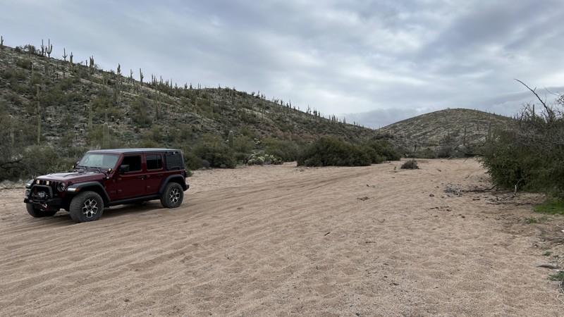
Chevlon Canyon Lake
Wiggins Crossing, Arizona
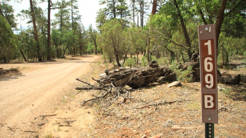
Chevlon Canyon Lake is short out and back to the Chevlon Lake Campground, a short walk from the Chevlon Lake Dam. There is dispersed camping along the trail. Chevlon Lake Campground has a vault toilet and several campsites with tables and fire grates. The trail does not continue to the lake and dam. A gate prevents motorized access to the lake. Fishing is permitted in the lake.
Updated: 10/15/2024
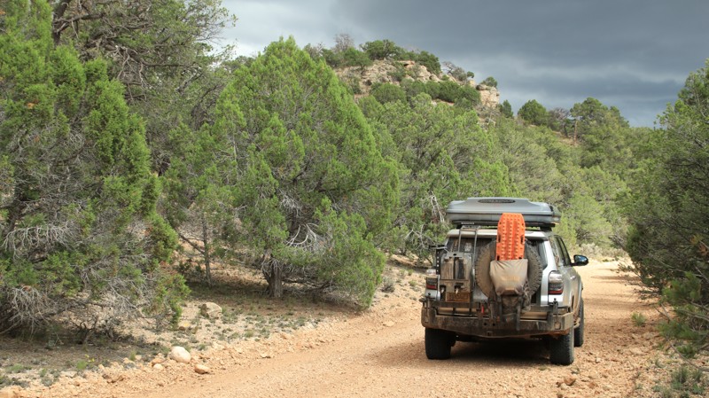
Sycamore P3018
Fort McDowell, Arizona
P3018 does not have trail markers. It is a designated motorized trail per the Tonto National Forest Travel Management Plan. Follow the GPX track provided.
P3018 is another trail that starts out as rocky dirt and transitions into a sandy wash as you go down in elevation. The trail's eastern end has sweeping views of the Four Peaks Mountains. The initial descent is steep and rocky. Once at the bottom, the trail follows a sandy wash to the intersection with MT1851.
The best camping location on this trail is near the intersection with trail P3020. It provides an open sandy area with plenty of room for vehicles.
Updated: 10/15/2024
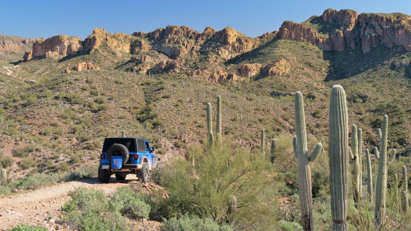
Ranger Pass
Ryan, Arizona
Ranger Pass runs east-west between Pine Flat, FR 427, and Ryan Jumpup Divide, FR 423. The road is primarily used to access the Jumpup Cabin and the Ranger Trail into the Kanab Creek Wilderness. Ranger Pass is easy when dry and very slippery when wet. The road passes through a pinion juniper forest and a burned area. Only one marginal campsite was noted along the trail.
Updated: 11/04/2024
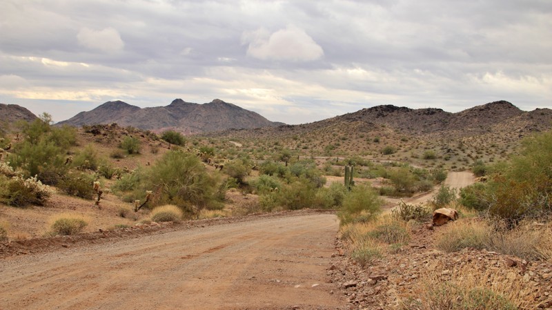
Rim Rider 6133-J
Cochran, Arizona
Rim Rider is a short and steep shortcut from Sandman to the upper portion of Box Canyon. The trail climbs numerous loose dirt and rock hills requiring high clearance, off-road tires, and low-range gearing. The trail has scenic views above the canyons and offers a mild challenge for beginners wanting a 4x4 experience without difficult rock crawling. There are no camping opportunities along this route.
Updated: 01/24/2026
Harquahala Road
Salome, Arizona
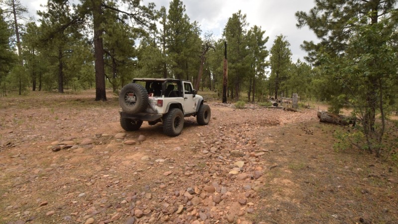
Harquahala Road runs from Salome in the north to Interstate 10 in the south. The well-maintained road winds through the cactus-studded Little Harquahala Mountains. The road was first created to serve the mines that sprung up in the low mountain range, the largest being the Harquahala/Bonanza Mine at Martin Peak. A small mining town sprung up, supporting the mine and the nearby Golden Eagle Mine. Today, the town's cemetery sits right by the road.
Large campsites are plentiful on the trail's southern end, and a couple are available nearer Salome on the north end.
Updated: 06/04/2024
FR9569J
Forest Lakes, Arizona
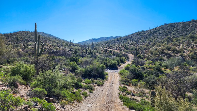
The Mogollon Rim Country of central Arizona is a welcome reprieve from the high temperatures of the desert that surrounds it. The region is rich in ancient Native American history. This particular trail allows users access to great high country camping and the nearby White Mountain Apache land (permit required). The trail offers a few campsites that are relatively close to a highway but far enough away to not hear it. You're also away from all the large RV camping areas along 300 Road.
Updated: 10/15/2024
East Ajax Mine Cutoff
Reymert, Arizona
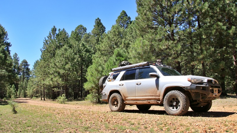
East Ajax Mine Cutoff, BLM 6121D, is a simple connecting road between North Box Canyon and East Ajax Mine Road. The road surface is hard-packed dirt with small embedded rocks. The road is short and does not have any obstacles. The hill grades along the road are very mellow. Any high clearance 2WD vehicle can complete East Ajax Mine Cutoff. The trail is generally one vehicle wide, but there are many areas to pull out of the way for oncoming traffic. There are no campsites along this trail.
Updated: 06/05/2022
Hospital Ridge
Pine, Arizona
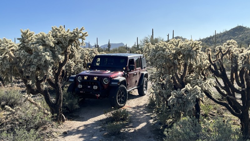
Nothing seems to be more relaxing than kicking back in camp and listening to the relaxing sounds of nature and the wind singing in the tops of tall pines. Hospital Ridge is all about that camping experience. Each little spur trail offers a shady, secluded getaway. Squirrels chatter and gather pine nuts for the winter. Jays and ravens watch your camp with an envious eye, ready to swoop in and take away a trinket or the snack you temporarily abandoned. Elk bugle deep in the forest of pines, spruce, and fir. Shy deer slink past your camp, pausing only for a quick look before scampering away. Hospital Ridge is located in the remote eastern section of the vast Coconino National Forest. Sitting atop the Mogollon Rim, the higher elevation makes for pleasant summers away from the desert heat below. Not far away is the historic Buck Springs Cabin, sitting beside its lovely alpine meadow. Make the time to visit the site. It's definitely worth it. Maybe Hospital Ridge got its name because a little time there will definitely decrease your blood pressure and stress level. Go try it.
Updated: 10/15/2024
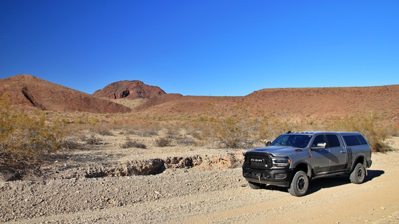
SDNM 8016
Big Horn, Arizona
Sonoran Desert National Monument (SDNM) trail 8016 creates a nice loop when connected with 8011 and 8008.s here. Primarily a gravel surface with a few sandy wash crossings, it's less traveled than other trails in the area. You may add additional pinstripes to your vehicle due to the tight brush and overgrowth. There are limited camping locations on this trail, but a few flat spots are available.
This entire trail requires a Barry M. Goldwater Range permit. Please refer to the permit required link above. The permit is only available online and requires viewing a mandatory safety video. A printed copy of your permit must be carried with you while on this trail. SDNM 8016 runs through a very remote area of the Sonoran Desert. Please take all necessary precautions.
Updated: 10/15/2024
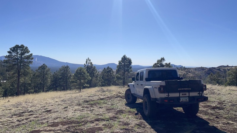
Lincoln Ranch Road
Swansea, Arizona
Lincoln Ranch Road runs northeast from the intersection known locally as Midway to the abandoned Lincoln Ranch on the banks of the Bill Williams River. The easy, well-graded road runs under the shadow of Clara Peak in the Buckskin Mountains. After crossing Barnard Pipeline Road, the track becomes a narrow shelf road and ends at the private property boundary with little room to turn around. The ranch is not marked as no trespassing and is crisscrossed with small trails and ruins.
The Midway intersection has a large camping and staging area and informational signage. There are additional campsites along the trail.
Updated: 10/09/2025
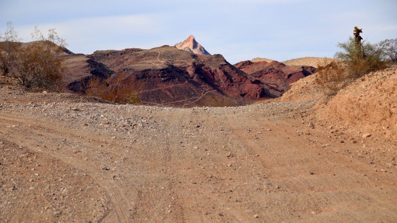
Old "190" Kendrick Trailhead
Parks, Arizona
FR190 is a moderately difficult, rocky, and severely rutted dirt road that loops around a hill near Kendrick Peak. To reward your trouble, you will find several nice, 4x4-accessible, dispersed campsites back.
Updated: 03/03/2025
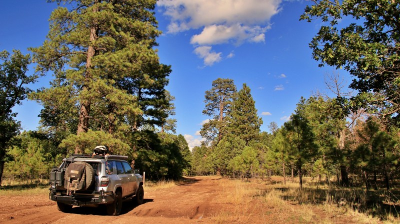
Browns Crossing
Alamo Lake, Arizona
Browns Crossing was the area's most reliable way across the river before the Bill Williams River was dammed in 1968 to create Alamo Lake. The dam flooded the crossing. Today, Browns Crossing is a spur off the Wickenburg Alamo Road used primarily for camping. Numerous campsites are located along the trail or down spurs. Many have lake views. A small campsite is on the edge of the lake at the end of the trail. The Artillery Mountains and Artillery Peak dominate the skyline when driving northwest along the trail.
The only obstacle along the trail is sand found in a wash crossing near the trail's end. A 2WD vehicle can manage the trail.
Updated: 06/05/2022
FR 513B
Pine, Arizona
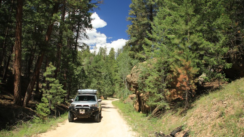
Situated in the eastern portion of the vast Coconino National Forest, FR 513B rides along the western ridgeline above the deep chasm cut by East Clear Creek. The 2018 Tinder Fire has opened the forest up to provide some impressive views across the wide canyon. Besides the views, FR 513B has some fantastic campsites outside the burned area. Since roadside camping is not allowed on East Clear Creek past its intersection with FR 513B, the numerous campsites just up the trail from the intersection are very popular. Deer, elk, and turkey are often nearby. They might be shy, but every so often the lucky get a glimpse of them sliding through the deep Ponderosa pine forest.
Updated: 10/15/2024
FR 205
Jacob Lake, Arizona
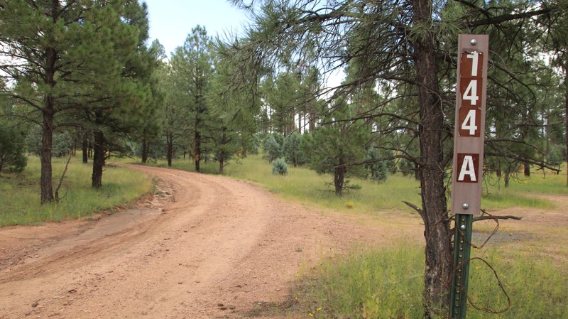
FR 205 runs between Highways 89A and 67 near Jacob Lake. The road has vault toilets on each end with large pull-throughs for RVs and trailers. The easy trail follows a small canyon lined with pine, aspen, and limestone boulders before climbing onto a ridgeline. Jolly Sink is a sinkhole formed when the underlying limestone eroded. There are campsites galore near each end of the trail.
Updated: 10/15/2024
Dead Horse
Heber-Overgaard, Arizona
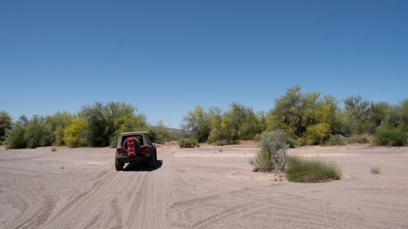
Dead Horse is a secondary trail running from Pierce Wash to Overgaard, FR 144. The trail is tight, with numerous washouts, deep ruts, and mudholes. Numerous casual use trails branch off the main route, so use the gpx track to keep you headed in the right direction. The route crosses a small seasonal steam several times. The trail is easier on the south end. There are no previously used dispersed campsites along the trail.
Updated: 06/05/2022
Lower Sonoran 8219
Gila Bend, Arizona
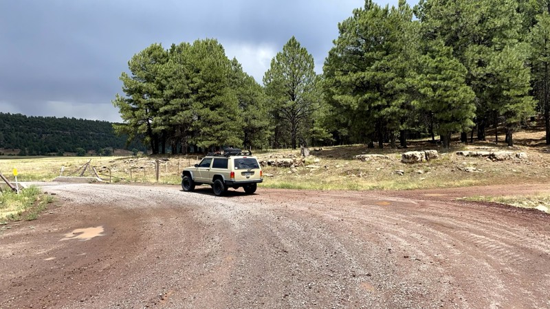
When you just need more dirt in a day this a great add-on trail when running either Agua Caliente Road or Woolsey Peak and Signal Mountain Wilderness Trail. 8219 is rather short, dry, mundane and doesn't offer much in the way of experience. However, when combined with other trails, it sure beats pavement or other hard-packed dirt roads.
Updated: 10/15/2024
South Side of Lower Lake Mary
Mountainaire, Arizona
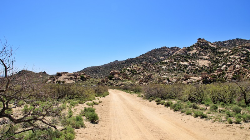
Running along the south side of Lower Lake May, FR 296 begins as a graded road and deteriorates into a dirt and mud trail. There is usually no water in Lower Lake Mary, but there are picnic areas and wildlife viewing opportunities. Parcels of private property mixed in with the Coconino National Forest land, so watch the signage. The trail connects with FR132D near Upper Lake Mary. There's no camping along this trail.
Updated: 10/15/2024
Happy Camp Canyon
Bowie, Arizona
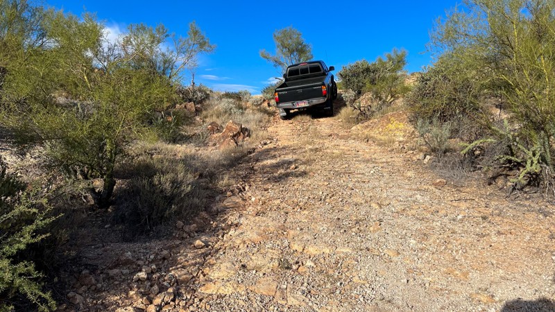
Running westward off Apache Pass Road into the Indian Bread Rock Recreation Area, Happy Camp Canyon is all about its namesake, camping. Well over thirty campsites of all sizes sit along this easy stretch of trail. The road begins wide and graded with moderate washboarding, narrowing as it passes the day-use picnic area with its tables, vault toilet, grill, and shade. The single-lane trail continues past numerous campsites and spur trails until it turns sharply south, becoming even narrower with embedded gravel ranging in size from apples to lemons. The road ends at the locked gate of a small ranch.
The road is bordered on the north by a broad plain doiminated by ranch lands and orchards of pecans and pistachios. To the south is the Indian Bread Rocks Recreational Area and the edge of the Dos Cabezas Mountains. The Bread Rocks moniker is from the massive buff and umber-colored tumble of granite boulder slabs ranging in size from a small automobile to an extremely large house. The jumble of rocks lifts into a prominent ridge. Government Peak, the highest point in the Dos Cabezas, projects skyward in the background. Ravens and raptors soar lazily on the updrafts. Doves sound their mournful notes from evening roosts on the slopes. Coveys of quail cackle as they search for seeds amongst mesquite, agave, and grasses along the plain. Finding small areas of soil and moisture between the massive boulders, Gamble Oaks dot the steep incline. Soap Root Agave and spindly Ocotilla find homes in the lesser crevices. This is BLM land, so bovines often roam through the campsites, seemingly unaware of the visitors seeking campsites on their range.
The free and popular campsites range from large enough for an RV to a small vehicle with a tent. Unmaintained spur roads lead to sites with impressive views but often lack room for large rigs to turn around and very uneven ground. The last campsite, a large one capable of hosting multiple rigs or an RV, is at the sharp curve south. Camping at the picnic area is not allowed.
Updated: 10/15/2024
FR 1819
Tortilla Flat, Arizona
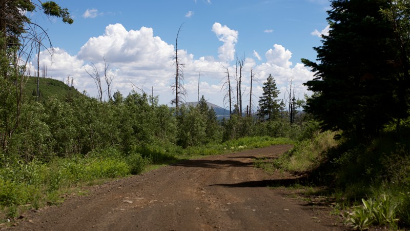
FR 1819 begins on the Apache Trail's west side just a few miles before reaching Canyon Lake. There is a wood corral with a campsite is just right off the main road. If you want to see what your rig can do, take it down the 1/2 mile trail. There is a little hill on the right side that will give you a chance to use your 4x4 and possibly rear locker. The pitch hits between 15-20 degrees.
Updated: 09/11/2025
Porter Spring
Los Burros, Arizona
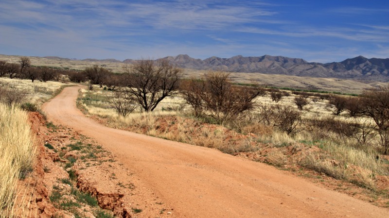
Porter Spring connects Udall Draw on the east and Vernon-McNary Road on the west. The gravel road changes considerably throughout the drive. Starting from Vernon-McNary Road, Porter Spring is well-maintained and generally smooth, with only a few short rocky areas. However, crossing through an open gate midway along (the only gate found mid-route), the road gets narrower, considerably more rocky, and involves a number of ascents and descents from that point until the eastern terminus at Udall Draw (and Udall Draw FS61 itself is also quite rocky until it meets FS117). The roads are still suitable for passenger cars but considerably less comfortable for drivers and passengers.
On the western side, Porter Spring is a good road for camping. There are two dispersed campsites, both of which are on level ground and have space for larger trailers and RVs. There are also spur roads that are likely to offer additional camping opportunities.
The western portions show few fire-damaged areas of significant size from the road. However, sections toward the Udall Draw side still have evident damage from the San Juan Fire of 2014, albeit with vigorous regrowth of aspen and understory ferns.
Updated: 10/15/2024
East Empire Ranch Road
Greaterville, Arizona
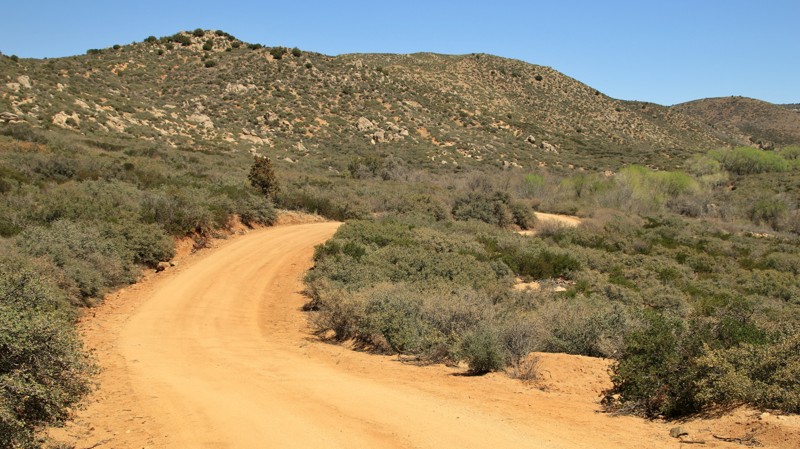
East Empire Ranch Road is the main artery into the northern portions of the Las Cienegas National Conservation Area. Beginning near the historic Empire Ranch Headquarters, the trail crosses the stream created by the Empire Spring via a concrete ramp. The band of massive cottonwood trees surrounding the spring is visible across the conservation area. A small pullout just before the water crossing serves as a trailhead for hiking to the spring.
A massive flat area with a few scattered trees serves as a popular campground at the intersection with Oak Tree Canyon. The Airstrip Group Campground is just a bit farther east. You can reserve this campground through the Las Cienegas National Conservation Area. Potable water is available at the ranch headquarters.
The northeastern end of the trail runs briefly along a dike through a wetland before ending at a network of smaller trails and a very out of the way seldom used campsite. Wildlife sightings in this area are common.
Updated: 06/26/2026
Bottle Ranch
Dewey-Humboldt, Arizona
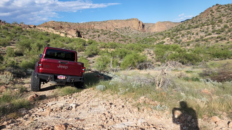
Beginning off Old Cherry Road, Bottle Ranch climbs slowly into the Black Hills range, paralleling and then crossing the Ash Creek. The trail is easy but dead ends at its namesake ranch, which is posted private property. Along the way are views into Ash Creek Canyon, with granite spires adorning the rims. The canyon floor is littered with cottonwoods. There is one roadside campsite near the creek.
Updated: 10/15/2024
FDR 1821
Tortilla Flat, Arizona
FDR 1821 is a short trail off the famous Apache Trail with a spot for camping that could accommodate a 2-3 tents and vehicles. There is a short rough section, but most 4x4 vehicles should be able to manage it just fine. The campsite is just before the rocky dip. There appears to be a little hiking trail at the end of the road that should take you to an overlook of the Salt River.

Upgrade your Membership
Unlock all of the details on every Trail Guide and Scout Route.
Start a 7-day Free TrialBrowse Trails in Arizona by City
Browse every Arizona city with offroad trail guides.
Community
Partners

