







By clicking "ACCEPT", you agree to be the terms and conditions of each policy linked to above. You also agree to the storing of cookies on your device to facilitate the operation and functionality of our site, enhance and customize your user experience, and to analyze how our site is used.
Arizona Off-Road Trails
373
Total Trail Guides 359

4679
Detailed Waypoints 676
Try a Free 7-Day Trial and unlock it all
Start a Free Trial Most Recent Trail Reviews
No Rating
Open
Visited: 09/23/2026
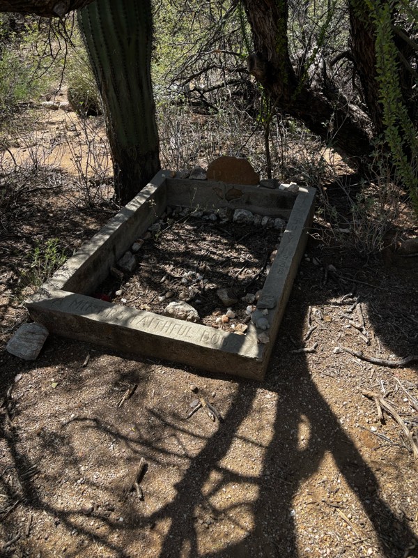
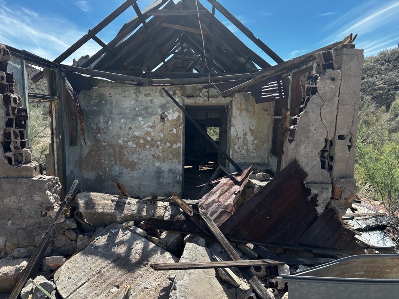
Gets a little technical at the end but the difficulty is spot on.

KR
Keith Ringiesen
No Rating
Open
Visited: 09/22/2026
The road was very smooth with the normal views running through the pines. Reminded us of many of the trails in the White Mountains.
T
Tom
No Rating
Open
Visited: 09/22/2026
Even with all of the recent rain, this trail was mostly dry ... a few ruts had water in them. Looks like there was a bad washout at the northern end of the trail on Apache Maid between waypoints 7 an...
T
Tom
No Rating
Open
Visited: 09/22/2026
Still an easy trail ... even after all of the rain.
T
Tom
Rated 4/5
Open
Visited: 09/22/2026
Hard pack, easy forest service road that is a great back way to the North Rim of the Grand Canyon.

Tyler D’Hulst
Rated 4/5
Open
Visited: 09/22/2026
Spring Canyon is a beautiful drive. We didn’t go out to the cabin but used this western section of road coming back from Crazy Jug

Tyler D’Hulst
Rated 4/5
Open
Visited: 09/22/2026
We took this out to Crazy Jug. The northern section is hard packed forest service road. Not difficult. Very scenic drive through the ponderosas.

Tyler D’Hulst
Rated 5/5
Open
Visited: 09/22/2026
View point is spectacular! Trail was easy going out, no obstacles at all. Saw a Toyota Camery at the viewpoint.


Tyler D’Hulst
Rated 3/5
Open
Visited: 09/22/2026
An alternative route out to Crazy Jug Point. It’s easy and can be scenic in areas. I’d recommend West Ryan out to Crazy Jug though.
Tyler D’Hulst
Rated 3/5
Open
Visited: 09/22/2026
A quick connector trail through the burn patch.
Tyler D’Hulst
Rated 5/5
Open
Visited: 09/20/2026
Leviathan Mine trail is a full day trip. Though it is only 20 miles in length the travel is slow and rough. Majority of the trail you will be going between 5-10 MPH. Then once at the end it connects w...



Eric Gartin
Official Crew
Rated 4/5
Open
Visited: 09/19/2026
Simple road, well graded today. Many mountain bikers coming down from the West out of Breezy Pines. Not too many people out until approaching Senator Hiway. We went East to West as I think thats a bet...



Jeff Burnett
Rated 3/5
Open
Visited: 09/19/2026
The trail itself is not spectacular, it's pretty flat across the plains. However, driving up to the overlook and seeing a huge gaping hole in the ground is a great juxtaposition to the flat trail. The...
Tyler D’Hulst
Rated 3/5
Open
Visited: 09/19/2026
A nice trail ride from the main road down off the plateau. It's graded forest service road until the switchbacks. The switchbacks themselves are not difficult, road is not graded. This section has bee...
Tyler D’Hulst
Rated 3/5
Open
Visited: 09/18/2026
The end of the trail is not well marked, and can cause confusion. Also, vehicle passes are required for all backcountry routes within the Lake Mead National Recreation Area.
Eric Gartin
Official Crew

Ted Whisler
No Rating
Open
Visited: 09/17/2026
Nice ride west side a little rocky but rating is true to #2


Ted Whisler
Rated 3/5
Open
Visited: 09/15/2026
A nice drop off the plateau heading towards Marble Canyon. Not a difficult road. Road is weathered but not challenging.
Tyler D’Hulst
No Rating
Temporary Closure
Visited: 09/15/2026
Road closed due to multiple washed out wash crossings after the turn off to go up the mountain. "Road Closed" sign put out by BLM on trail.
Tyler D’Hulst
No Rating
Temporary Closure
Visited: 09/15/2026
After the turn off to head up the mountain there are multiple washed out wash crossings. A "Road Closed" sign has been put out by the BLM.
Tyler D’Hulst

Ben Ruddell
Official Crew
Rated 4/5
Open
Visited: 09/14/2026
Bogles Ranch Road is a great Sunday afternoon drive type of dirt road that climbs up in elevation and gives some spectacular views of the surrounding area. The first half passes through State and Priv...


Eric Gartin
Official Crew
Ben Ruddell
Official Crew
Rated 3/5
Open
Visited: 09/14/2026
Antares Road is an excellent way to travel from Route 66 to the eastern portion of the Lake Mead National Recreation Area. This wide county road is well maintained with minor washboarding, most of whi...


Eric Gartin
Official Crew
Rated 3/5
Open
Visited: 09/14/2026
Hackberry road is a wide dirt road with minimal erosion damage and washboarding. There are a couple of larger washes that cross Hackberry road creating wide stretches of loose sand which can cause iss...


Eric Gartin
Official Crew
Rated 3/5
Open
Visited: 09/13/2026
This is a very rough, rocky, & slow going trail. Expect around 4+ hours for the trail & another hour to get the highway. One of those trails I'm happy I did but I wont be back personally. High clearan...

Brandon W
No Rating
Open
Visited: 09/12/2026
I think the rating is spot on. The ruts and washouts at the beginning are not as bad and if you hug the inside of the shelf road they can be avoided. The middle part is same general sandy wash with ov...



Greg Page
Rated 4/5
Open
Visited: 09/11/2026
Ran this trail as part of a larger loop. Trail is in great shape. Easy for standard 4x4 with no lift. Passengers can do it until maybe the very end by the lake where the road gets rocky and washed out...


Jeff Burnett
Rated 5/5
Open
Visited: 09/10/2026
This is one of my favorite scenic trails in the area. The trail is easy to travel, but does have some optional short trails that will test your vehicle. The views from the Grand Wash Cliffs of the Hua...


Eric Gartin
Official Crew
Rated 3/5
Open
Visited: 09/07/2026
This trail by itself is nothing special. It is mostly used as an access road to get to the more technical trail such as Homecourt, Twister, and Waynes World. This is a great trail for the beginner to ...


Eric Gartin
Official Crew
Rated 3/5
Open
Visited: 09/07/2026
This trail is an enjoyable alternate route when traveling on Blake Ranch Road (7163). The trail is easy with only a handful of spots with erosion damage. The few established camping sites appear to n...


Eric Gartin
Official Crew
Rated 5/5
Open
Visited: 09/07/2026
Ran this trail from Boynton Pass Road to Loy Butte Road (opposite direction from what is listed). Ran into a few rental ATVs and a couple of Jeeps heading the opposite way. This was a fun trail wit...



Daniel Macioce
Rated 5/5
Open
Visited: 09/07/2026
This trail was a lot of fun, plus the views were amazing. I ran the trail in the order posted, starting at the south trailhead and finishing at the heritage site. Past a motorcycle, a few jeeps and a...


Daniel Macioce
Rated 4/5
Open
Visited: 09/07/2026
Nice trail, ran West to East. For some reason the map shows this a a one-way trial, East to West. That is not the case, it is a two way trail. Was pretty washed out starting around mile 12. Plenty roc...


Jeff Burnett
No Rating
Open
Visited: 09/06/2026
New trail for me. You didn’t know what it would throw at you around every corner which is why you try to find new trails or old forgotten ones
KB
Kory Burden
Rated 5/5
Open
Visited: 09/06/2026
The trail is no joke—steep, narrow, and technical enough that you’ll want to be comfortable with off-camber shelf roads, rocky terrain, and washouts that will test your vehicles articulation. The rew...



Bobby Rumbaugh
Official Crew
Rated 5/5
Open
Visited: 09/06/2026
Fun trail if you don't want to do pyeatt draw itself. Ran this trail 3yrs ago and definitely a little more erosion but, still any truck or suv with good factory ground clearance can do it. From previo...
JM
James m
Rated 4/5
Open
Visited: 09/06/2026
Ran this trail from I-17 to Sedona. Extraordinary views descending into Sedona. As others have noted, there are lots of rock on the trail, making it slow going. Passed a large number of Pink Jeeps ...


Daniel Macioce
Rated 4/5
Open
Visited: 09/05/2026
This one definitely changed over the last few years. The southern section has some legit, steep, off-camber sections. YOU NEED experience, backup, and a capable vehicle on this one now. It's not supe...


.jpg)
Bobby Nelson
Official Crew
Rated 4/5
Open
Visited: 09/05/2026
Another amazing time on this scenic crossover. We came in from Walnut Canyon and finished out on Price Road after about 6 hours. A challenging and hot day for the old TJ. Rincon Road has evolved into ...


Bobby Nelson
Official Crew
Rated 4/5
Open
Visited: 09/05/2026
We started exactly at sunrise to try and beat the heat. We planned to crossover to Box Canyon and out on Price Road. It ended up taking us 6 hours, even with all the photos and filming we did. A chall...


Bobby Nelson
Official Crew
Rated 5/5
Open
Visited: 09/04/2026
We recently ran Four Peaks after the monsoon rains. Here’s what we found and what to expect if you’re planning to run it. Have a GR8 day!

Jeep 4 Dirt
Rated 5/5
Open
Visited: 09/04/2026
Breathtaking views. Definitely don't rush through the trail. Devil's staircase was a bit slippery but awesome. A few tight stops here and there, but a trail that's a must on anyone's to do list.



Christopher Bradley
Rated 4/5
Open
Visited: 08/30/2026
Id say this is a 3.5 to 4 trail. There are some obstacles, but nothing you really need to think hard about how to approach. If you send your vehicle at it in 4 low you'll get through everything.



Justin Holsinger
Rated 4/5
Open
Visited: 08/28/2026
Rim Road (FS300) West to East. Very well groomed gravel forest road. Accessible by just about any vehicle thats not been lowered. Who does that anyway? Scenic views the whole route. Hard to believe on...


Jeff Burnett
Rated 4/5
Open
Visited: 08/28/2026
Not a bad road but it was crowded with sxs and vehicles towing campers. Hard to rate 5 stars for a busy road. Super easy any vehicle can do this. Part is paved near the freeway but the rest is gravel.

Tony Rockwell
Rated 4/5
Open
Visited: 08/28/2026
I rated 4 stars just due to the volume of sxs & camper trailers on the road.
Easy drive, any car can do this.
Ran from sheep springs to munds park, see other reviews for full route.

Tony Rockwell
Rated 4/5
Open
Visited: 08/28/2026
I ran Bar M in reverse to get to this trail. Then headed toward Casner Park Road. (See reviews I did on each of those)
Nice easy trail that is less rough than Bar M.
Nice drive through trees.


Tony Rockwell
Rated 5/5
Open
Visited: 08/28/2026
Very bumpy due to rock infused trail. A few larger rocks, 8-12” tall in places but most stock 4x4’s should be able to navigate around or over them. I would say any 4x4 with all terrain tires could nav...


Tony Rockwell
Most Popular

Updated: 10/15/2024
Mineral Wash
Planet, Arizona
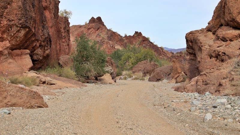
As the paved Shea Road ends, the dirt Mineral Wash Road begins with a large staging area. The early portion of the trail is graded with scenic views of the Buckskin Mountains, large inviting campsites, and small spur trails to explore. There are small cavettes eroded into the whimsical brown mudstone hills beside the road. The trail drops into the narrow, winding, sandy Mineral Wash with its colorful rock walls. The track passes Mineral Wash Mine and a slot canyon wide enough to drive through. The road deadends in the Bill Williams National Wildlife Refuge near the Bill Williams River. Neither camping nor campfires are allowed in the Refuge. An old water pump and power poles that once supported area mines now seem oddly out of place.
Updated: 10/15/2024
Sorefinger Road
Salome, Arizona
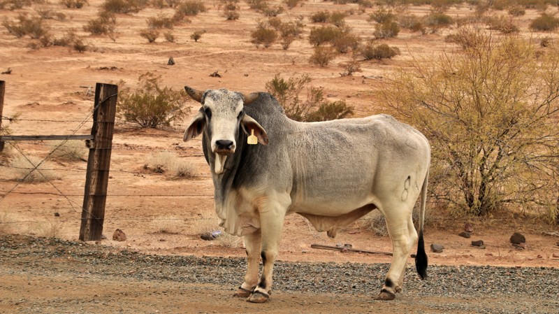
Despite the intriguing name, Sorefinger might be the most boring trail in Arizona. It runs from Salome Road in the north to AT&T Frontage Road in the south through the vast, flat Harquahala Plain. It crosses Interstate 10 via a bridge close to the southern end, but there is no legal access to the highway. It also crosses the Central Arizona Project aqueduct, which delivers Colorado River water to central Arizona communities. The area is open range, so beware of cattle on the trail.
A handful of campsites courtesy of flat gravel playas scattered randomly along the sandy trail.
Updated: 06/29/2026
FR 116A
Williams, Arizona
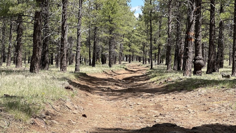
FR 116A is a nice drive through the forest along an unmaintained dirt road. The tire ruts and occasional rocks are a challenge for vehicles without clearance. The northern portion of the road has numerous campsites and is often crowded since it is a few miles from Willams and along the highway to the Grand Canyon. There are great campsites with various levels of cell phone service along most of the road. The farther you get from the main road the more the campsites are spread out.
Updated: 04/28/2026
FR 332 Aripine
Aripine, Arizona
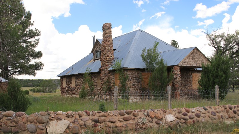
FR 332 runs between Highways 260 and 277. The well-maintained dirt road passes through juniper-dotted grasslands in the north and pine forests in the south. Midway on the trail is a small parcel of private property and the ghost town of Aripine. Originally named Joppa, it was begun as a Mormon settlement in 1883. The name was later changed to the first three letters of the state combined with the prevalent local flora. The town essentially died from a lack of reliable water. Today, several houses and other buildings are inside a posted and fenced area. An interesting stone house and two grain silos are on the other side of the road. A bit further south, the trail passes through what appears to be an abandoned ranch complex. The map name for the area is the Sundown Girls Ranch. Feel free to speculate. There are a few dispersed campsites south of the Sundown Girls Ranch.
Updated: 10/15/2024
Camp Bouse
Utting, Arizona
In 1943, General George Patton, the Army's most knowledgeable tank officer, led training exercises in the deserts of southern California and Arizona before embarking for North Africa to join the British in battling the German forces under the command of General Erwin Rommel.
Named for the nearest tiny hamlet, Bouse, AZ, Camp Bouse was a very remote site used for testing the secret "gadget," a 13 million candlepower blinking light mounted on an old tank chassis. The idea was to blind and confuse German soldiers. The remote location was meant to keep the project a secret. Ultimately, the gadget was never used in combat, though it might have led to the lighting found in 1980s discos in New York. Visit the Bouse Museum and its outdoor displays for more information.
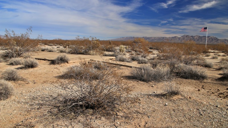
The desert is slowly reclaiming the site of Camp Bouse. Accessible by Powerline Road, the site today has most of the original roads, a few concrete foundations, stone-lined walkways, and a few historical markers. A flag flies over the site of the camp's hospital.
The soldiers provided their own entertainment. The camp's volunteer morale officer was incredibly entertaining. However, he was known to wander over to the hospital and eat the nurses' undergarments when they had hung them out to dry after doing their laundry. This bizarre behavior was often overlooked since the perpetrator was a feral burro who had taken a liking to the soldiers of Camp Bouse.
The camp's roads are easy, but expect minor pinstriping from encroaching desert brush. There are numerous small campsites scattered throughout the remains of Camp Bouse. The site is on Arizona State Trust Land, so a permit is required to camp legally.
Updated: 10/15/2024
Two B's Mine Road
Willow Beach, Arizona
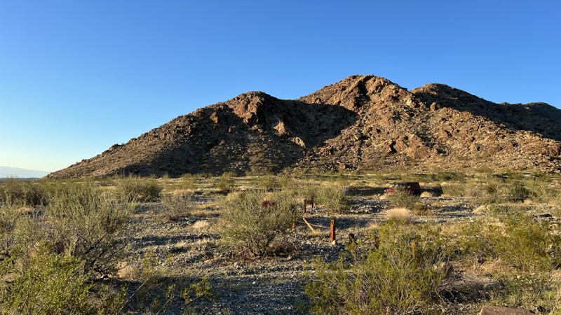
The Two B's Mine Road is a quick offshoot of the Old Highway 93 Trail. The trail is mostly gravel and is an easy road to get you closer to the mountains. The trail's end has a nice spot for camping that can handle several vehicles. The campsite provides lovely views down the valley towards the Back Canyon area.
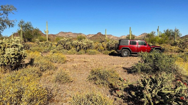
Updated: 04/10/2026
Superstition Lollipop Hill
Gold Canyon, Arizona
A fun trail that will provide you with more challenging terrain as you loop around the lollipop on the north end. This one is a bit more narrow than the surrounding trails, and there is the possibility of picking up pinstripes for your vehicle. Overall, it is mostly packed dirt but gets rocky as you climb the loop.
There are several nice camping locations on this trail. These are smaller sites, good for one or two vehicles.
This is Arizona State Trust Land. A recreational permit is required.
Updated: 10/14/2022
FR 139G
Pine, Arizona
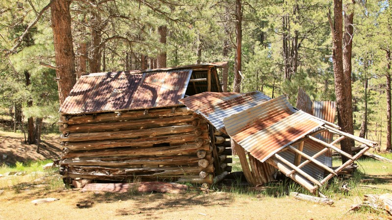
FR 139G is a delightful little two-track through the tall pines of the vast Coconino National Forest. A short hike along a side trail brings you to picturesque Aspen Spring and an old homestead. A stone chimney remains from the original cabin. The log horse barn is leaning but still standing after all this time. Aspen Spring flows gently from under a massive rock outcrop, its pure water joining the little creek in Houston Draw. The site was used back in the day by the Houston brothers, who summered their cattle in the lush canyons of the high country above the Mogollon Rim. Further along the trail are superb campsites beckoning you to spend some time listening to the wind sing in the tops of the towering pines. Swinging a hammock between two pines and listening to the wind song is proven to make a person forget the rest of the world below, at least for a bit.
Updated: 10/15/2024
7363
Signal, Arizona
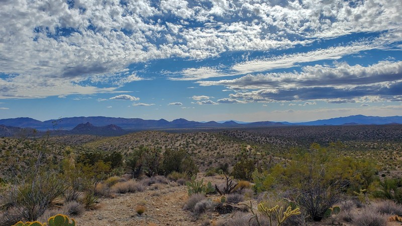
Only found on a handful of maps, 7363 covers many different terrains and some distance. The trail runs along a ridgeline for a couple of miles, offering excellent views of the surrounding mountains and valleys before dropping into a sandy and sometimes rocky wash for the last half of the trail. A few spurs and a couple of well-traveled trails intersect with this one, providing access to this remote area.
Updated: 10/15/2024
FDR 1822A
Tortilla Flat, Arizona
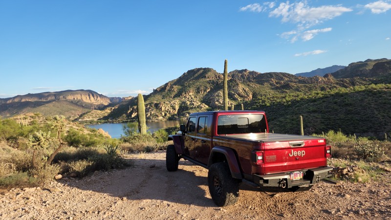
1822A is a very short offshoot that leads to a camping spot with a view of Canyon Lake. This trail is tight with loose rock, but nothing difficult.
Updated: 10/15/2024
96 Ranch North Fence
Cactus Forest, Arizona
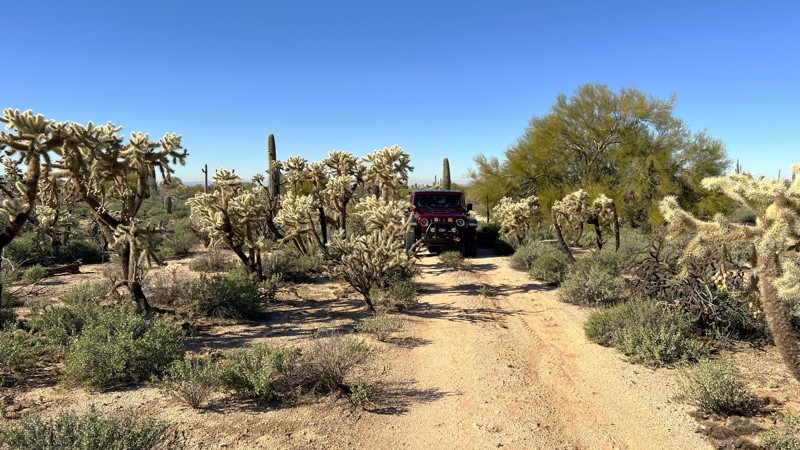
This is an easy trail that runs along a fence line. It is primarily packed dirt with an occasional sandy wash crossing. Enjoy the views of the Teddy Bear Cholla Cactus. They are plentiful, just don't get too close. This is leased grazing land. You will most likely see cattle. There are a few camping spots along this trail with nice views of Signal Peak in the distance. This is a less traveled trail, so expect new pinstripes on your vehicle.
The entrance to this trail is at the end of East Paisano Drive through the green gate. This is on Arizona State Trust Land. You need a recreation permit.
Updated: 08/18/2025
Pole Knoll
Greer, Arizona
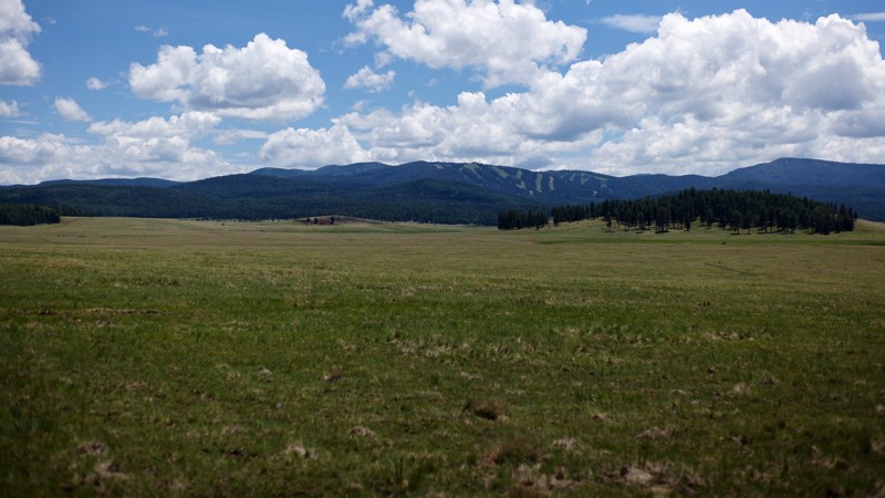
Pole Knoll is a short, dirt road connector between Highway 260 and Highway 273, that leads to several other roads all within the heart of the White Mountains. Road quality is very good, with only a few areas that are a bit rocky or present washboards for short periods. The road is generally straight, with a few easy curves and climbs. Along the drive, you will be rewarded with an expansive view over a broad meadow and up to the Sunrise Park Resort ski area. Keep your eyes open for cattle, horses, elk, mule deer, pronghorn, or cowboys in the meadow. Isolated patches of snow may be visible on the nearby mountains well into early summer. Midway along the trail, Sunrise Lake and White Mountain Reservoir come into view. Water levels of these drastically change from season to season and from year to year. Spread along the full length of the trail, there are at least five dispersed camping areas, many well away from the road but with wonderful views.
Updated: 10/15/2024
FR 4064
Helvetia, Arizona
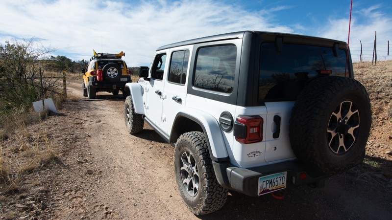
There are spectacular views of the Santa Rita mountains from this trail. FR 4064 also provides a shortcut from the Rosemont Junction to Highway 83. This section of road connects to the Barrel Canyon Trail and crosses private property for the Hudbay Minerals, Rosemont Mine project. You can see the project headquarters building from the cattleguard near the water tank.
Updated: 10/15/2024
Hewitt Station East
Superior, Arizona
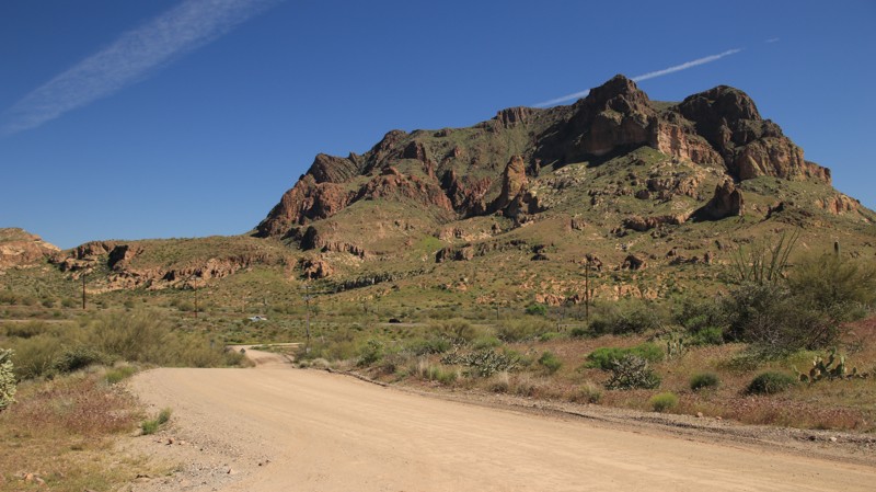
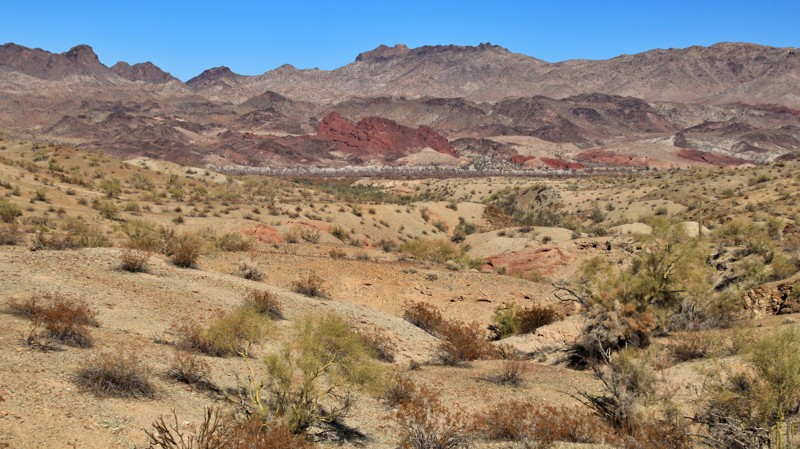
Running into the Tonto National Forest, Hewitt Station traverses the southern edge of the Superstition Mountains. A section of private property cuts the road in half. The eastern portion of the trail is described here.
The trail is well-graded dirt that parallels a seldom-used railroad track. It deadends into private property with a small area to turn around. The trail connects to Mattie’s Grave, FR 8, and Hewith Station Bypass. Views of the imposing Picketpost Mountain dominated the southeastern skyline.
A large campsite sits along the eastern end of the track. The Arizona Trail hiking trailhead is large enough for additional camping.
Updated: 10/15/2024
Barnard Pipeline Road
Wenden, Arizona
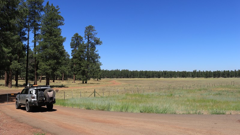
Barnard Pipeline Road follows a gas pipeline over 21 miles from Alamo Road across the Buckskin Mountains to the Bill Williams River. The initial third of the trail is unremarkable along Butler Valley's saguaro and ocotillo-studded flat land. The trail passes a large pipeline facility a few miles in.
After crossing Cunningham Wash, the trail gets far more interesting. The semi-maintained trail climbs steadily into the mountains, reaching gradients of 16 degrees. Two bypasses help with the steepest sections, but only slightly. The mountain views are exceptional. The descent provides a long look ahead.
The final third of the trail is a seemingly never-ending series of deep wash crossings, many quite steep. 4WD is required, and low range helps with the steepest grades. The trail ends at the Bill Williams River. The pipeline is elevated across the river. Numerous ATV trails lead down to the river.
Only one established campsite near the river was located along the trail. It is suitable for up to 3 vehicles, has a fire ring, and nice views.
Updated: 06/05/2022
FR 935
Mormon Lake, Arizona
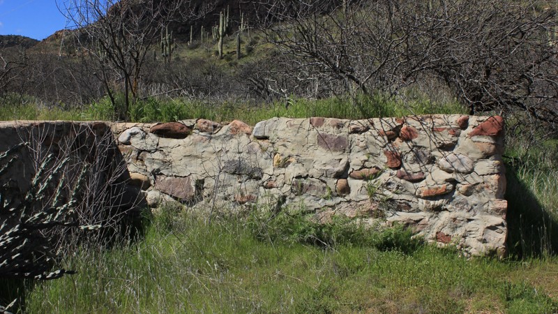
FR 935 winds through old-growth pine forests, crosses alpine meadows and passes through ranch land still worked by cowhands on sure-footed ponies. After you leave the pavement be sure to close the gate behind you. The trail immediately crosses a wide-open meadow with spacious campsites on both sides. The trail winds along the contours of this rugged landscape mostly smoothly but occasionally forcing you to choose a line to bypass protruding boulders. Often cows and calves are laying in the shade and watch idly as you roll by. Several small spur trails go off at angles along the way, so pay attention to the guide unless you are in the mood for some more exploring. Though in this beautiful country, side trips are often good trips. Before long FR 935 deposits you onto Stoneman Lake Road, a good route to other adventures in the area.
Updated: 06/05/2022
FR 87
Roosevelt, Arizona
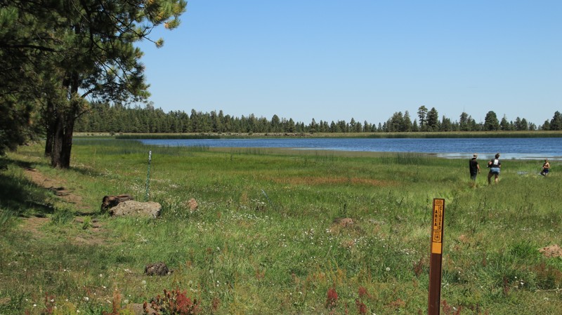
Shortly after joining this trail, you'll come to an old foundation. All the structure is gone, and nature is filling in the area, but it is still substantial. You might take some time and relive the past and wonder what it must have been like to live here in ages long ago.
Although short, the shelf road is rather impressive. The road is well maintained but it has been cut from the cliffside midway up from the valley bottom. It offers a nice view of the valley below, especially when the river is running high. So, if you are running other trails in the area, this trail offers an interesting excursion for 30 - 45 minutes, however, it is not a destination spot.
Updated: 10/15/2024
Canero
Greer, Arizona
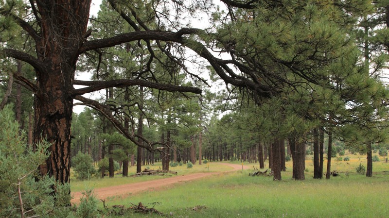
Canero leads across open meadows and forests with a spur to Canero Lake. The lake offers fishing and numerous free campsites. There are other dispersed campsites near the meadow. The views from the northern end of the trail are very nice.
Updated: 10/15/2024
Decker Wash
Aripine, Arizona
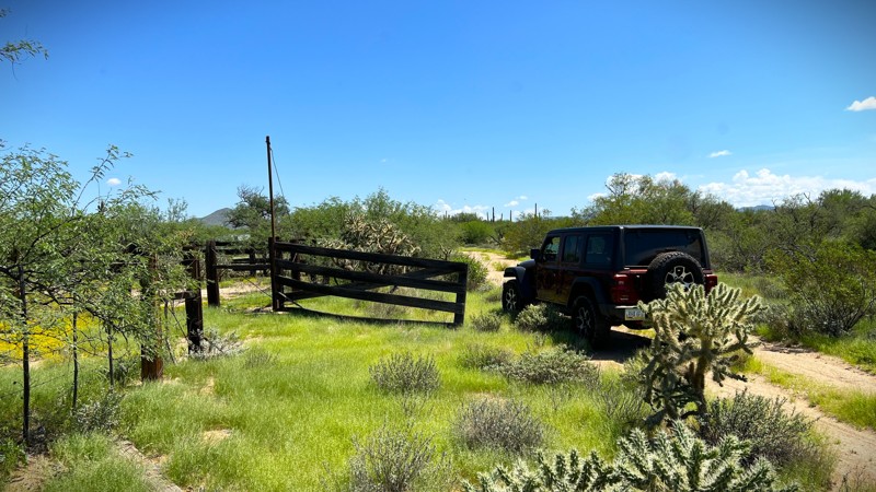
Decker Wash runs southward from Highway 260 to East Rim Road through a pretty pine forest. The trail crosses its usually dry rocky namesake wash several times. This area is used seasonally for cattle grazing so beware of bovines on the byway. There's plenty of dispersed camping along the trail.
Updated: 01/19/2026
Fletcher Tank Trail
Cactus Forest, Arizona
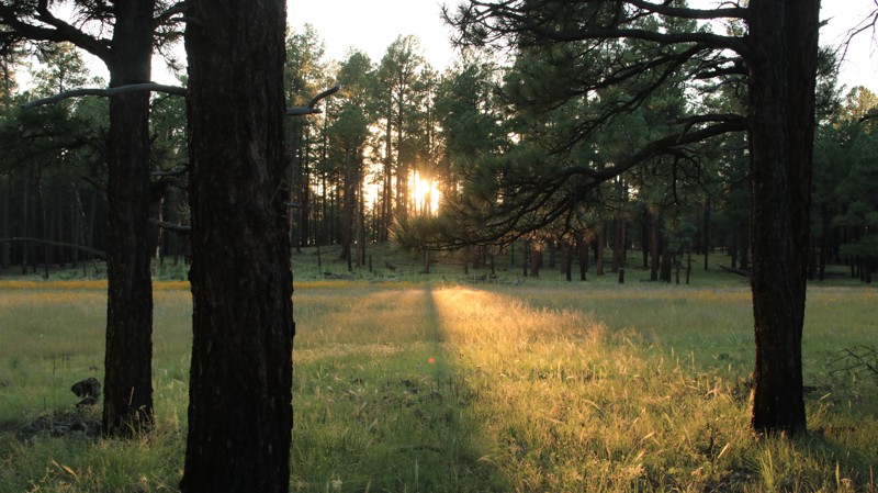
Fletcher Tank Trail begins and ends on East Freeman Road. The trail loops further into the desert to explore the ranching history of old corrals, cattle water tanks, and beautiful backcountry. A couple of large campsites can accommodate multiple rigs and have established fire rings. This is an easy trail but less traveled. Pinstripes are likely as there are multiple overgrown sections. This trail requires an AZ State Trust Land permit.
Updated: 10/15/2024
Heifer Branch
Three Forks, Arizona
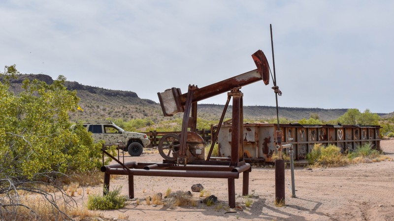
Heifer Branch is a short connector with superb camping on its western end. The trail traverses a dense pine forest on the east before bordering an alpine meadow on the west. Scattered along the edge of the meadow are numerous campsites of all sizes
Updated: 10/15/2024
7389
Haviland, Arizona
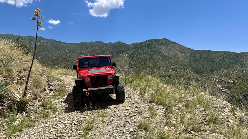
Immerse yourself in the captivating scenery and relics left behind by the cattle operations that once dominated this range over half a century ago. The remnants of this era will undoubtedly ignite your curiosity and beckon you to explore more of the area. Dating back to the mid-1950s, wells and holding tanks dot the landscape. The trail is a testament to a time when Lake Havasu was yet to become a city, the iconic London Bridge was still two decades away, and the completion of I-40 was three decades in the future. This region remains remote and isolated today, offering a glimpse into a bygone era. As you venture through this desert region, let your imagination transport you to a different time, envisioning the vehicles, equipment, and resourcefulness it took to navigate the challenges of accessing the nearest city and breathe life into this rugged landscape.
Updated: 07/06/2026
Doak Road
El Capitan, Arizona
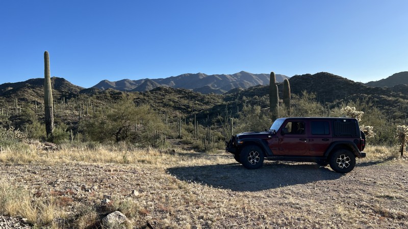
Doak Road (Forest Road 221) branches off Pinal Mountain Raod (Forest Road 651) and descends sharply onto a narrow, rocky road. It twists and turns through hillsides of agaves and century plants. There will be moments when you won't be able to anticipate what's over the next ridge or beyond the next curve. Keep an eye out for birds and white-tailed deer, which are common in this area. You'll reach the bottom of the canyon and cross Mill Creek wash, only to climb up the other side to Bobtail Basin. The road features great views of both Signal Peak and Pinal Peak, including Pioneer Basin below. No preexisting campsites exist along the route, as there is little room for anything other than your vehicle.
Updated: 10/15/2024
SDNM 8011A
Big Horn, Arizona
Sonoran Desert National Monument (SDNM) trail 8011A is an offshoot of 8011 going to the abandoned Altuda Mine. The deep fenced-off mine has tailing piles and remnants of a time gone by. The trail is easygoing and primarily gravel. The best camp spots are several flat areas near the mine.
Proceeding on SDNM 8011A past the “Unit 40A” gate requires a Barry M. Goldwater Range permit. Please refer to the permit required link above. The permit is only available online and requires viewing a mandatory safety video. A printed copy of your permit must be carried with you on this trail past the gate. SDNM 8011A runs through a very remote area of the Sonoran Desert. Please take all necessary precautions.

Upgrade your Membership
Unlock all of the details on every Trail Guide and Scout Route.
Start a 7-day Free TrialBrowse Trails in Arizona by City
Browse every Arizona city with offroad trail guides.
Community
Partners

