







By clicking "ACCEPT", you agree to be the terms and conditions of each policy linked to above. You also agree to the storing of cookies on your device to facilitate the operation and functionality of our site, enhance and customize your user experience, and to analyze how our site is used.
Arizona Off-Road Trails
373
Total Trail Guides 359

4679
Detailed Waypoints 676
Try a Free 7-Day Trial and unlock it all
Start a Free Trial Most Recent Trail Reviews
No Rating
Open
Visited: 09/23/2026
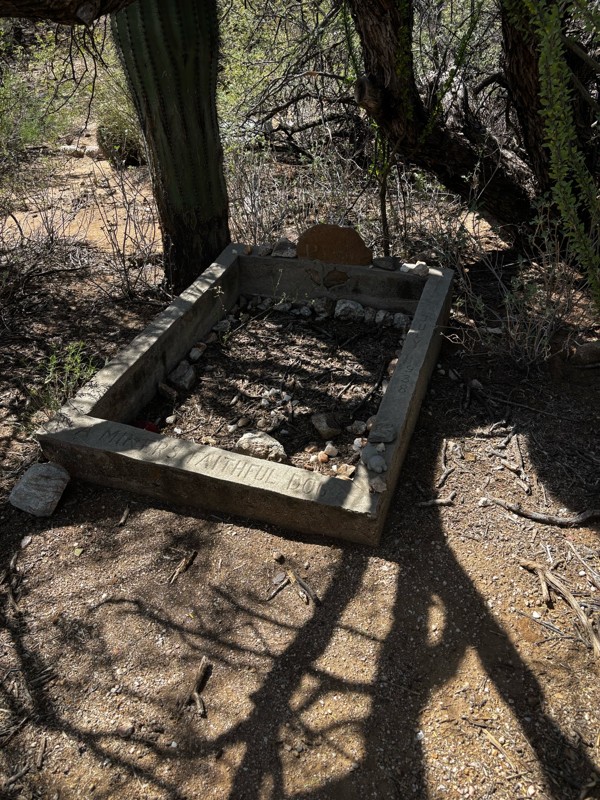
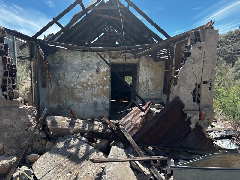
Gets a little technical at the end but the difficulty is spot on.

KR
Keith Ringiesen
No Rating
Open
Visited: 09/22/2026
The road was very smooth with the normal views running through the pines. Reminded us of many of the trails in the White Mountains.
T
Tom
No Rating
Open
Visited: 09/22/2026
Even with all of the recent rain, this trail was mostly dry ... a few ruts had water in them. Looks like there was a bad washout at the northern end of the trail on Apache Maid between waypoints 7 an...
T
Tom
No Rating
Open
Visited: 09/22/2026
Still an easy trail ... even after all of the rain.
T
Tom
Rated 4/5
Open
Visited: 09/22/2026
Hard pack, easy forest service road that is a great back way to the North Rim of the Grand Canyon.

Tyler D’Hulst
Rated 4/5
Open
Visited: 09/22/2026
Spring Canyon is a beautiful drive. We didn’t go out to the cabin but used this western section of road coming back from Crazy Jug

Tyler D’Hulst
Rated 4/5
Open
Visited: 09/22/2026
We took this out to Crazy Jug. The northern section is hard packed forest service road. Not difficult. Very scenic drive through the ponderosas.

Tyler D’Hulst
Rated 5/5
Open
Visited: 09/22/2026
View point is spectacular! Trail was easy going out, no obstacles at all. Saw a Toyota Camery at the viewpoint.


Tyler D’Hulst
Rated 3/5
Open
Visited: 09/22/2026
An alternative route out to Crazy Jug Point. It’s easy and can be scenic in areas. I’d recommend West Ryan out to Crazy Jug though.
Tyler D’Hulst
Rated 3/5
Open
Visited: 09/22/2026
A quick connector trail through the burn patch.
Tyler D’Hulst
Rated 5/5
Open
Visited: 09/20/2026
Leviathan Mine trail is a full day trip. Though it is only 20 miles in length the travel is slow and rough. Majority of the trail you will be going between 5-10 MPH. Then once at the end it connects w...



Eric Gartin
Official Crew
Rated 5/5
Open
Visited: 09/19/2026
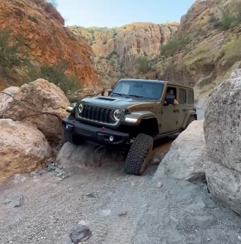
The harder obstacles aren’t that bad anymore. With the amount of sand and gravel that has washed into the canyon. The main constraint is the wedge between the 2 rocks; but I found it easy if you stick...
BC
Brian C
Rated 4/5
Open
Visited: 09/19/2026
Simple road, well graded today. Many mountain bikers coming down from the West out of Breezy Pines. Not too many people out until approaching Senator Hiway. We went East to West as I think thats a bet...



Jeff Burnett
Rated 3/5
Open
Visited: 09/19/2026
The trail itself is not spectacular, it's pretty flat across the plains. However, driving up to the overlook and seeing a huge gaping hole in the ground is a great juxtaposition to the flat trail. The...
Tyler D’Hulst
Rated 3/5
Open
Visited: 09/19/2026
A nice trail ride from the main road down off the plateau. It's graded forest service road until the switchbacks. The switchbacks themselves are not difficult, road is not graded. This section has bee...
Tyler D’Hulst
Rated 3/5
Open
Visited: 09/18/2026
The end of the trail is not well marked, and can cause confusion. Also, vehicle passes are required for all backcountry routes within the Lake Mead National Recreation Area.
Eric Gartin
Official Crew

Ted Whisler
No Rating
Open
Visited: 09/17/2026
Nice ride west side a little rocky but rating is true to #2


Ted Whisler
Rated 3/5
Open
Visited: 09/15/2026
A nice drop off the plateau heading towards Marble Canyon. Not a difficult road. Road is weathered but not challenging.
Tyler D’Hulst
No Rating
Temporary Closure
Visited: 09/15/2026
Road closed due to multiple washed out wash crossings after the turn off to go up the mountain. "Road Closed" sign put out by BLM on trail.
Tyler D’Hulst
No Rating
Temporary Closure
Visited: 09/15/2026
After the turn off to head up the mountain there are multiple washed out wash crossings. A "Road Closed" sign has been put out by the BLM.
Tyler D’Hulst

Ben Ruddell
Official Crew
Rated 4/5
Open
Visited: 09/14/2026
Bogles Ranch Road is a great Sunday afternoon drive type of dirt road that climbs up in elevation and gives some spectacular views of the surrounding area. The first half passes through State and Priv...


Eric Gartin
Official Crew
Ben Ruddell
Official Crew
Rated 3/5
Open
Visited: 09/14/2026
Antares Road is an excellent way to travel from Route 66 to the eastern portion of the Lake Mead National Recreation Area. This wide county road is well maintained with minor washboarding, most of whi...


Eric Gartin
Official Crew
Rated 3/5
Open
Visited: 09/14/2026
Hackberry road is a wide dirt road with minimal erosion damage and washboarding. There are a couple of larger washes that cross Hackberry road creating wide stretches of loose sand which can cause iss...


Eric Gartin
Official Crew
Rated 3/5
Open
Visited: 09/13/2026
This is a very rough, rocky, & slow going trail. Expect around 4+ hours for the trail & another hour to get the highway. One of those trails I'm happy I did but I wont be back personally. High clearan...

Brandon W
No Rating
Open
Visited: 09/12/2026
I think the rating is spot on. The ruts and washouts at the beginning are not as bad and if you hug the inside of the shelf road they can be avoided. The middle part is same general sandy wash with ov...



Greg Page
Rated 4/5
Open
Visited: 09/11/2026
Ran this trail as part of a larger loop. Trail is in great shape. Easy for standard 4x4 with no lift. Passengers can do it until maybe the very end by the lake where the road gets rocky and washed out...


Jeff Burnett
Rated 5/5
Open
Visited: 09/10/2026
This is one of my favorite scenic trails in the area. The trail is easy to travel, but does have some optional short trails that will test your vehicle. The views from the Grand Wash Cliffs of the Hua...


Eric Gartin
Official Crew
Rated 3/5
Open
Visited: 09/07/2026
This trail by itself is nothing special. It is mostly used as an access road to get to the more technical trail such as Homecourt, Twister, and Waynes World. This is a great trail for the beginner to ...


Eric Gartin
Official Crew
Rated 3/5
Open
Visited: 09/07/2026
This trail is an enjoyable alternate route when traveling on Blake Ranch Road (7163). The trail is easy with only a handful of spots with erosion damage. The few established camping sites appear to n...


Eric Gartin
Official Crew
Rated 5/5
Open
Visited: 09/07/2026
Ran this trail from Boynton Pass Road to Loy Butte Road (opposite direction from what is listed). Ran into a few rental ATVs and a couple of Jeeps heading the opposite way. This was a fun trail wit...



Daniel Macioce
Rated 5/5
Open
Visited: 09/07/2026
This trail was a lot of fun, plus the views were amazing. I ran the trail in the order posted, starting at the south trailhead and finishing at the heritage site. Past a motorcycle, a few jeeps and a...


Daniel Macioce
Rated 4/5
Open
Visited: 09/07/2026
Nice trail, ran West to East. For some reason the map shows this a a one-way trial, East to West. That is not the case, it is a two way trail. Was pretty washed out starting around mile 12. Plenty roc...


Jeff Burnett
No Rating
Open
Visited: 09/06/2026
New trail for me. You didn’t know what it would throw at you around every corner which is why you try to find new trails or old forgotten ones
KB
Kory Burden
Rated 5/5
Open
Visited: 09/06/2026
The trail is no joke—steep, narrow, and technical enough that you’ll want to be comfortable with off-camber shelf roads, rocky terrain, and washouts that will test your vehicles articulation. The rew...



Bobby Rumbaugh
Official Crew
Rated 5/5
Open
Visited: 09/06/2026
Fun trail if you don't want to do pyeatt draw itself. Ran this trail 3yrs ago and definitely a little more erosion but, still any truck or suv with good factory ground clearance can do it. From previo...
JM
James m
Rated 4/5
Open
Visited: 09/06/2026
Ran this trail from I-17 to Sedona. Extraordinary views descending into Sedona. As others have noted, there are lots of rock on the trail, making it slow going. Passed a large number of Pink Jeeps ...


Daniel Macioce
Rated 4/5
Open
Visited: 09/05/2026
This one definitely changed over the last few years. The southern section has some legit, steep, off-camber sections. YOU NEED experience, backup, and a capable vehicle on this one now. It's not supe...


.jpg)
Bobby Nelson
Official Crew
Rated 4/5
Open
Visited: 09/05/2026
Another amazing time on this scenic crossover. We came in from Walnut Canyon and finished out on Price Road after about 6 hours. A challenging and hot day for the old TJ. Rincon Road has evolved into ...


Bobby Nelson
Official Crew
Rated 4/5
Open
Visited: 09/05/2026
We started exactly at sunrise to try and beat the heat. We planned to crossover to Box Canyon and out on Price Road. It ended up taking us 6 hours, even with all the photos and filming we did. A chall...


Bobby Nelson
Official Crew
Rated 5/5
Open
Visited: 09/04/2026
We recently ran Four Peaks after the monsoon rains. Here’s what we found and what to expect if you’re planning to run it. Have a GR8 day!

Jeep 4 Dirt
Rated 5/5
Open
Visited: 09/04/2026
Breathtaking views. Definitely don't rush through the trail. Devil's staircase was a bit slippery but awesome. A few tight stops here and there, but a trail that's a must on anyone's to do list.



Christopher Bradley
Rated 4/5
Open
Visited: 08/30/2026
Id say this is a 3.5 to 4 trail. There are some obstacles, but nothing you really need to think hard about how to approach. If you send your vehicle at it in 4 low you'll get through everything.



Justin Holsinger
Rated 4/5
Open
Visited: 08/28/2026
Rim Road (FS300) West to East. Very well groomed gravel forest road. Accessible by just about any vehicle thats not been lowered. Who does that anyway? Scenic views the whole route. Hard to believe on...


Jeff Burnett
Rated 4/5
Open
Visited: 08/28/2026
Not a bad road but it was crowded with sxs and vehicles towing campers. Hard to rate 5 stars for a busy road. Super easy any vehicle can do this. Part is paved near the freeway but the rest is gravel.

Tony Rockwell
Rated 4/5
Open
Visited: 08/28/2026
I rated 4 stars just due to the volume of sxs & camper trailers on the road.
Easy drive, any car can do this.
Ran from sheep springs to munds park, see other reviews for full route.

Tony Rockwell
Rated 4/5
Open
Visited: 08/28/2026
I ran Bar M in reverse to get to this trail. Then headed toward Casner Park Road. (See reviews I did on each of those)
Nice easy trail that is less rough than Bar M.
Nice drive through trees.


Tony Rockwell
Most Popular

Updated: 10/15/2024
North Reyment Road
Reymert, Arizona
North Reyment Road is a connector road in the Middle Gila Canyon area. The road goes through Arizona State Trust and BLM land. There is one camping spot just as North Reyment intersects with Mineral Mountain Road. The trail has beautiful views of the Sonoran desert and distant mountains, with many saguaros along the way. You can see Weaver's Needle to the north on a clear day. There is a gate that is closed with a "Dead End" sign on it, but the gate is not locked. If you continue past the gate, the road actually dead-ends about a half mile further in a horse corral.
Updated: 02/09/2026
Ide Valley
Scenic, Arizona
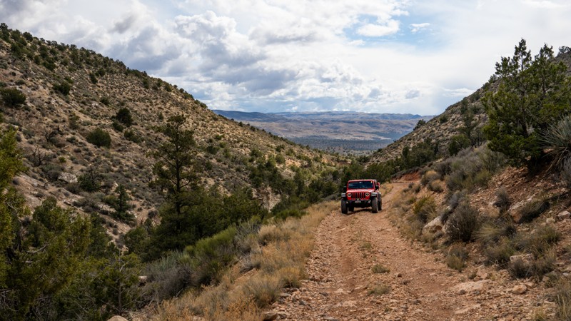
Ide Valley is a straight-through trail traveling along the edge of the Paiute Wilderness, connecting Mud Mountain Road to Black Rock Mountain. Unlike its two connecting roads, Ide Valley is a moderately challenging, consistently slow, rough, and rocky trail, traversing many loose sections peppered with fist and grapefruit-sized rocks. This road is also highly prone to washouts throughout its journey, but if you are looking to make a loop back to Mesquite and want more than just a graded washboard road, this is definitely the trail for you.
Coming from the south, the first 2 miles are a hardpacked dirt road with a few small roadside campsites. The road then shrinks to one lane wide and gains elevation along an exposed shelf portion above a shallow drainage. There are virtually no opportunities for full-size vehicles to pass one another while traversing this shelf section. The road is wide enough for side-by-sides to pass, but not other vehicles such as Jeeps. This nearly 1-mile section is the roughest terrain with the most rocks. The road levels out and widens slightly as you approach Ide Valley, with spectacular views through the thick pinyon and juniper trees. Several large and level campsites sit along the plateau that overlooks the valley. The trail turns east and skirts the wilderness boundary, crossing many washes prone to flooding that can quickly erode the trail. The track remains rough but becomes more hardpacked as you pass Ide Springs and Mustang Springs, which are unsafe to drink from without boiling, and eventually meet up with Black Rock Mountain.
This road is suitable for any high-clearance 4WD vehicle with rugged offroad tires, such as all-terrain or mud-terrain tires. Low-profile tires are not recommended, and all users should carry at least one full-size spare.
Updated: 06/05/2022
FR 513
Pine, Arizona
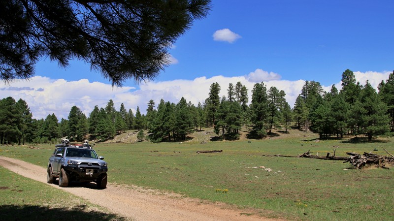
FR 513 and its connecting spurs are one of those gems that most folks race by without noticing. After all, in the vast Coconino National Forest, it can be difficult to see the forest for the trees. Thus the casual visitor may be excused for missing the pristine forest of tall Ponderosa pines that envelop FR 513. The forest here is anything but confining. Moqui Draw parallels the first section of the trail. Its open grassy meadow is often studded with wildflowers giving the area a park-like feel. The forest is largely devoid of brushy undergrowth, adding to the open feel of the landscape. The wind singing through the tops of the tall pines is guaranteed to lower your blood pressure and illicit an "ahhhh." The higher elevation makes the area a desirable escape from summer's heat in the deserts below. While FR 513 is a fairly easy drive, the connecting spur trails offer a bit more interesting wheeling and a look deeper into the forest. Seeing deer, elk, and turkey along them is common. Black bear sightings are rarer. Seeing cows on the trail in the summer is almost certain since grazing is allowed in this portion of the National Forest. Besides watching out for cow pies, keep a mindful eye out for the sneak thief ravens eyeing your campsite for food and trinkets.
Updated: 11/20/2025
St. Clair Corral
Camp Creek, Arizona
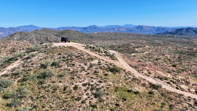
St. Clair Corral begins at a small staging area along North Horseshoe Dam Road, with enough room for 5–6 vehicles to air down before starting. Informational boards at the trailhead provide permit requirements, an overview map, and general area information, making this a well-marked and easy-to-follow starting point.
The trail itself is primarily hard-packed dirt and sand, offering a generally mild driving experience. However, a series of hill climbs, mild off-camber sections, and water-cut ruts along the way elevate the overall difficulty to a moderate rating. These features require careful line selection but remain manageable for high-clearance 4x4s.
Throughout the run, you’ll be treated to impressive views of Saint Clair Peak, Indian Butte, and occasional glimpses of the Mazatzal Mountains rising east of the Verde River. The combination of open desert terrain and distant mountain scenery makes this a visually rewarding trail from start to finish.
The trail concludes at its intersection with the Indian Springs Trail, where you can choose to continue east toward the Verde River or south toward the Indian Spring Trailhead along Bartlett Dam Road.
There are no suitable campsites along this trail.
This trail is part of the Tonto National Forest St. Clair OHV permit area. A permit is required. Use the permit link above for more information.
Updated: 09/22/2026
Pine Flat
Ryan, Arizona
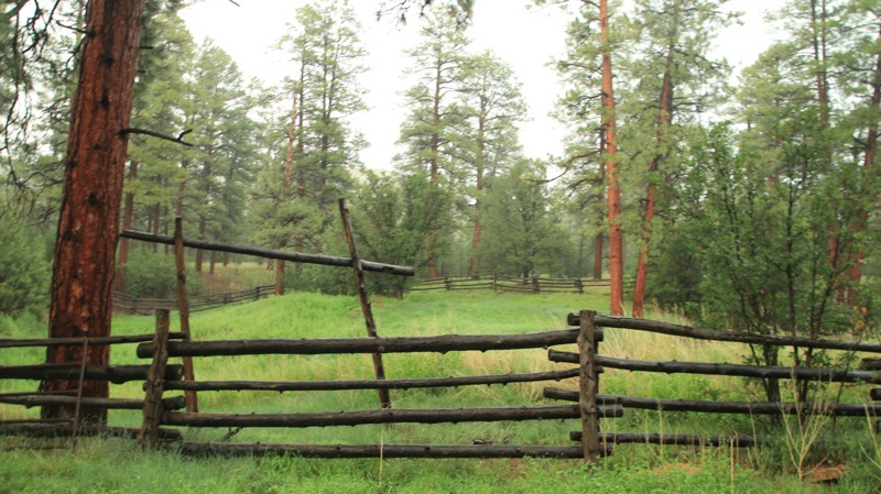
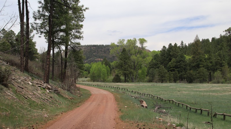
Pine Flat is a relatively boring trail that runs through a recovering burn area. There are a few pockets of very pretty pines that survived the wildfire. No camping was noted.
Updated: 10/15/2024
O W Ranch
Forest Lakes, Arizona
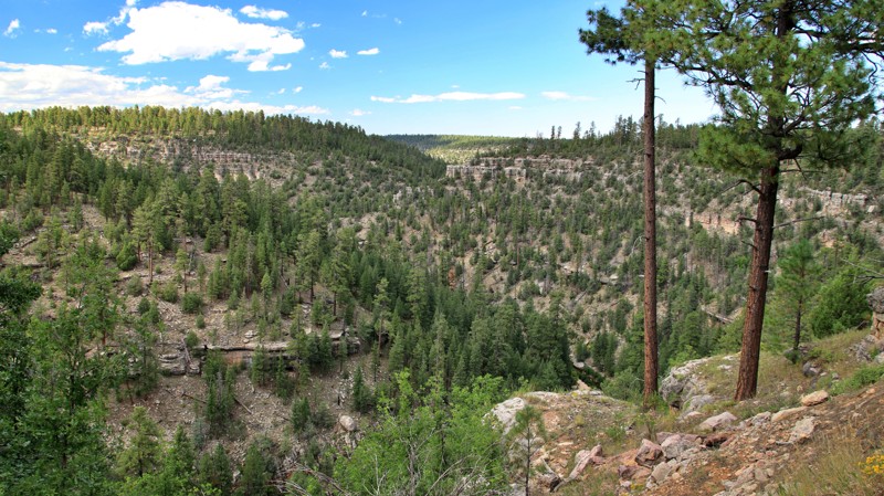
O W Ranch begins off the Young Highway, running northeastward to the historic and still operating O W Ranch, where it deadends with a small turnaround. The trail's eastern end runs along Valentine Ridge along a shelf road with blind switchbacks.
The trail descends in the east to parallel the picturesque gurgling Canyon Creek, a destination for anglers in search of the stream's stocked trout. All fishing is catch-and-release. The stream is lined with open meadows, willows, and cottonwoods.
Dispersed campsites are located near the trail's intersection with Valentine Canyon. To minimize impact on Canyon Creek, camping is not permitted on the easternmost two miles of the trail. Valentine Ridge Campground is located midway along the trail. It is free and has shaded sites with picnic tables and fire pits/grills. However, there are no toilet facilities or water at the campground.
Updated: 10/15/2024
Wiggins
Wiggins Crossing, Arizona
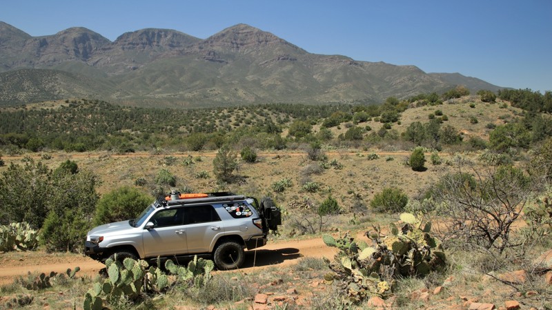
Running between Limestone, FR 215, in the east and Wallace, FR 34, in the west, Wiggins is a well-maintained artery in the westernmost reaches of the Sitgreaves National Forest. The trail's most redeeming feature is Wiggins Crossing, where steep shelf roads and a seemingly out-of-place bridge cross the deep and scenic Willow Creek Canyon. Decades ago, Macadam was added to the dirt trail to stabilize the eroding shelf roads in and out of the canyon. Today, the deteriorating attempt at pavement is the hardest and roughest part of the trail.
A handful of large, flat, shaded, dispersed campsites lie just west of Willow Creek Canyon.
Updated: 06/05/2022
FR 1548A
Payson, Arizona
Some days a winding easy trail with expansive views around each curve is just what the doctor ordered. Now let's set that little trail in the heart of the Tonto National Forest's nearly 2.9 million acres. We all know that any forest road that has a letter behind the numbers seldom gets much respect. And usually not much traffic either. So a winding trail with great views and not many people around. Now let's toss in a shady campsite that can accommodate you and any friends you might have brought along. Ding, ding! I think we have a winner! That little trail is called FR 1548A, and it's all yours. Go have a good time.
Updated: 10/15/2024
FR 76
Parks, Arizona
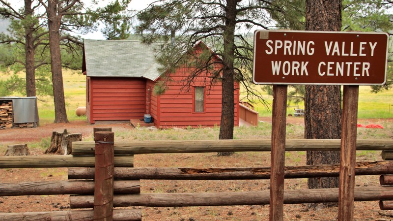
FR 76 begins off Historic Route 66 in the south and goes north to the historic Spring Valley Work Center, a once remote Forest Service cabin. Today you can visit the site and even reserve it for group camping. The trail has mountain grades in the middle and deep ruts on the northern end. The elevation rises in the middle of the trail at Schultz Pass enough that aspen, spruce, and fir find their way into the pine forest. Camping is plentiful on the ends of the trail, with sites large enough for groups or larger rigs.
Updated: 08/11/2026
FR500 Verde River Hiking Access
Wingfield, Arizona
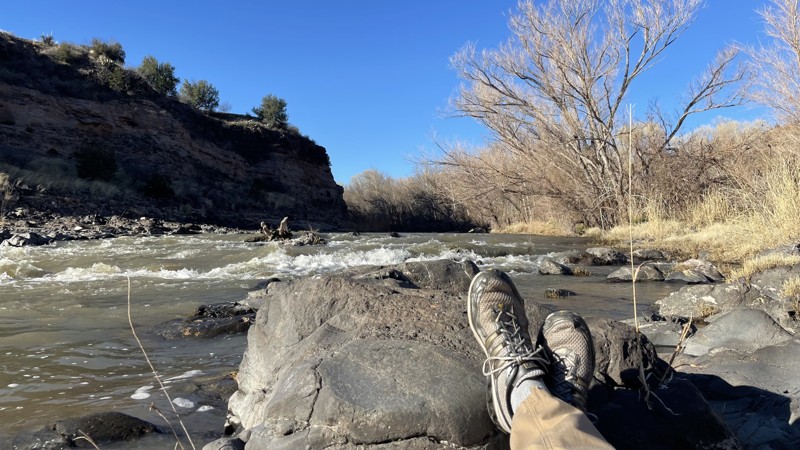
FR500 is a side road off Fossil Creek Road about ten minutes southeast of Camp Verde, Arizona and the I-17. This is a low desert (hot) area of Arizona that will be nicest in the spring- or if you plan to hike down to the Verde River in summer for backcountry camping and swimming in the holes and riffles and "The Falls" on the east bank of the Verde River. Like all the good swimming holes in the Verde Valley and below the rim, these are harder to get to and involve hiking. There are no services, so bring your own kit- especially water. Don't attempt the hikes into the floodplain while it's raining or flooding; that is dangerous.
The road and its side trails lead to overlooks and hiking access to the "protected" Wild and Scenic Rivers portions of the Verde River. The main trail FR500 is in decent condition and is a poorly maintained gravel road that is suitable for beginners with stock equipment. The side trails 9242 and 9244, can be used to access hiking trails and the river, and are in much worse condition with some rock shelves, width problems, and pinstriping from the brush. Stock vehicles may struggle with the side trails; high clearance and 4x4 are recommended for those. This area is grazed by cattle and sheep, and many portions are closed due to historical overuse, so mind your Motor Vehicle Use Map and obey the posted closures.
You can camp along this entire trail and along the spurs.
https://www.fs.usda.gov/r3/gis/mvum/Coconino/CoconinoCoconinoBack.pdf
Updated: 04/10/2026
Superstition Camp Stop
Gold Canyon, Arizona
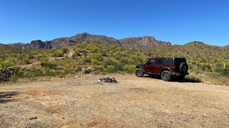
This trail begins at Peralta Road and takes you north toward the rolling hills. Like other trails in this area, there is camping right at the beginning of the trail, alongside Peralta Road. Treat yourself to a better camping location a bit further up the trail. There are several established areas with fire rings to enjoy. Bring your friends, as several sites can accommodate multiple rigs and have sweeping views of the Superstition Mountains and surrounding valley.
This is a fairly easy trail where most higher clearance vehicles will have no issues navigating. The most difficult section is a small hill climb at the north end.
This is Arizona State Trust land. A recreational permit is required.
Updated: 05/20/2026
Superstition Viewpoint
Gold Canyon, Arizona
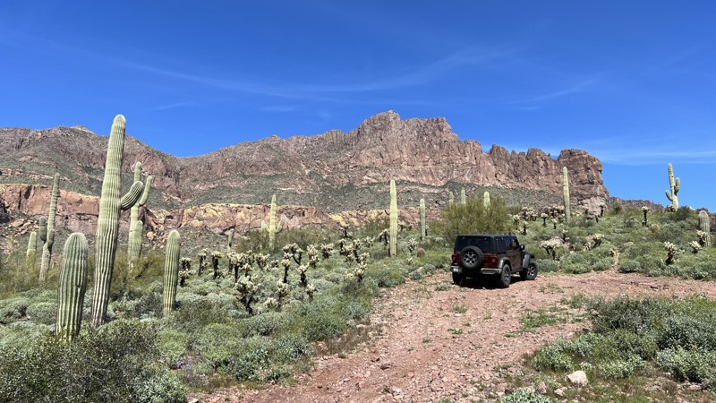
Superstition Viewpoint Trail is a moderate, out-and-back, rocky trail that ends with solid views of the rugged Superstition Mountains. There is a wide-open area on the north end to turn around and head back. This turnaround is not conducive for camping due to the high-pitched angle of the ground. There are no other camping opportunities on this trail.
This area is Arizona State Trust Land. A recreational permit is required.
Updated: 10/15/2024
Pyramid Peak Road
Salome, Arizona
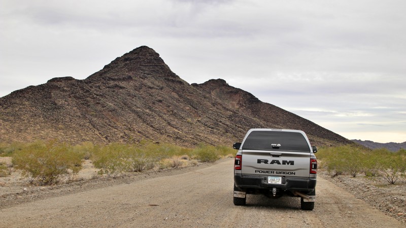
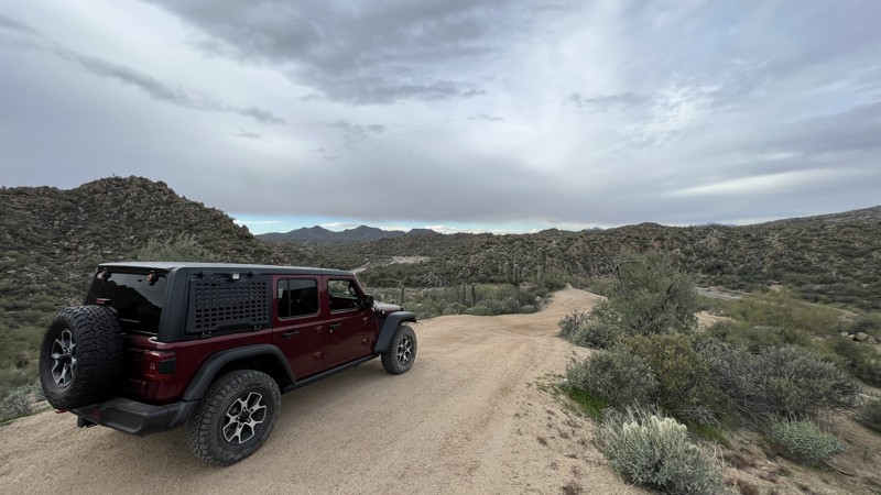
The signs on the ends of the road read Hope to Hovatter. They are almost right. The graded easy trail connects the tiny hamlet of Hope to Harquahala Road, which connects to Hovatter Road. The road passes through the southern end of the Little Harquahala Mountains and past its namesake Pyramid Peak. The desert is a collection of Ocotillo, Palo Verde, Ironwood, and Creosote brush. A dozen campsites sit mostly along the trail's southern portion, though several are on the Hope end. The best campsite sits well off the road against a rock wall on the southern side of the Little Harquahala Mountains.
Updated: 10/15/2024
Sycamore P4031
Fort McDowell, Arizona
P4031 does not have trail markers. It is a designated motorized trail per the Tonto National Forest Travel Management Plan. Follow the GPX track provided.
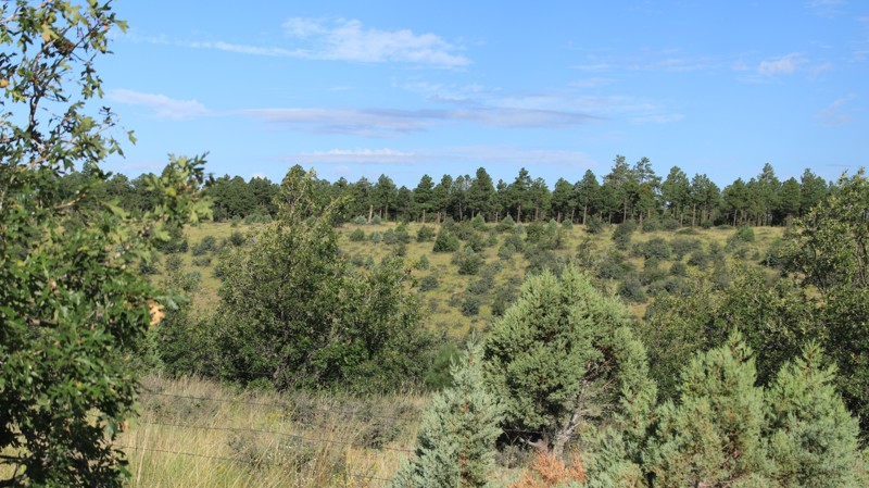
P4031 is a sandy wash that winds through steep rockface hills on either side of the trail. There's nice scenery as the trail descends towards Sycamore Creek. The challenge on this trail is at the northern end, where boulders block the wash. This obstacle requires a skillful hill climb while navigating boulders and washouts. Once through this section, you will be right at Sycamore Creek.
Camping spots can be found along this route, with the largest area right before the hill climb. It can accommodate multiple vehicles.
Updated: 10/15/2024
Hub Point
Pinedale, Arizona
Beginning in the small hamlet of Pinedale, Hub Point runs southwest to intersect with Pinedale Ridge. The trail is very narrow, with two rocky hill climbs. There is little scenic value since the 2002 Rodeo-Chedeski fire burned the area. There were no dispersed campsites noted along the trail.
Updated: 10/15/2024
Mile Half Access Road North
Jacob Lake, Arizona
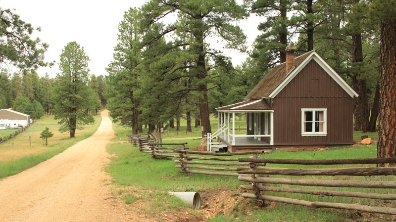
Mile Half Access Road North runs north-south from Warm Springs Canyon to Corral Lake. The historic Jacob Lake Ranger Station, built in 1910, sits just across from Jacob Lake, which is more of a grassy meadow that sometimes holds water than an actual lake. The trail passes through a small burn section and curves in and out between canyons and ridgelines. The best camping is at the southern end, where the trail meets Corral Lake.
Updated: 10/15/2024
AT&T Frontage Road
Sunwest, Arizona
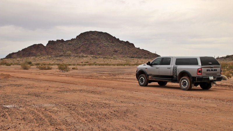
Named for the now unused three strands of telephone wire atop the poles along the north section of the trail, AT&T Frontage Road runs from I-10's Exit 55 to the El Paso Gas Pipeline Road. The graded trail provides access to a vast BLM land holding and the nearby Kofa National Wildlife Refuge. There is a huge campsite near the southern end.
Updated: 08/31/2026
Arivaca Lake
Arivaca, Arizona
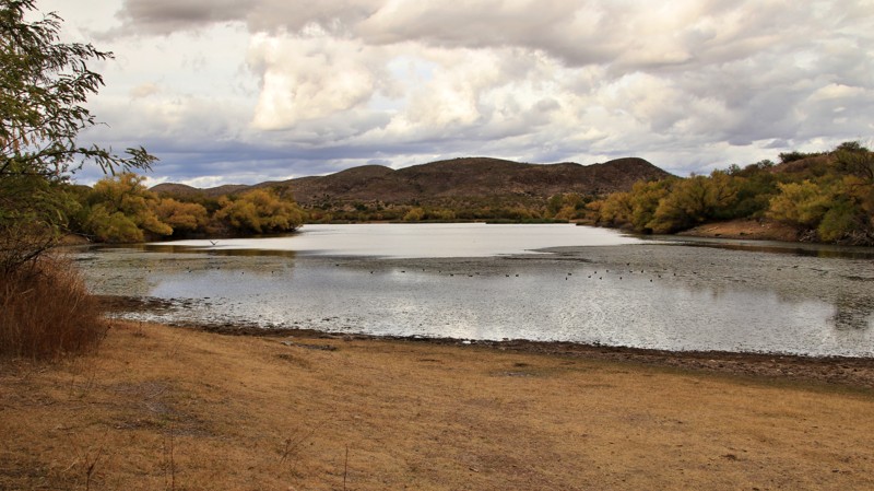
Arivaca Lake access is via a washboarded graded road with impressive views. The lake offers fishing, paddling, and bird watching. The road ends at a large parking area with a boat ramp, vault toilet, and trash receptacles. The parking area is also used for camping and has several rock fire rings. There are additional dispersed campsites along the road. Nearby, Arivaca has fuel, groceries, and a small cafe.
Updated: 10/15/2024
FR 279
Jacob Lake, Arizona
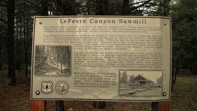
FR 279 runs through a pristine pine forest from Highway 89A to FR 248. There's a commemorative sign marking the location of the La Fevre Sawmill site. The sawmill was established in the late 1800s, providing lumber to the growing population on the Kaibab Plateau. FR 279 is an easy trail with several dispersed campsites.
Updated: 10/15/2024
West Fork
Clay Springs, Arizona
West Fork runs between Cottonwood Wash and East Rim Road. The road is relatively narrow, with sections of embedded rocks. There are no established campsites along the trail. Each end of the route has nice views.
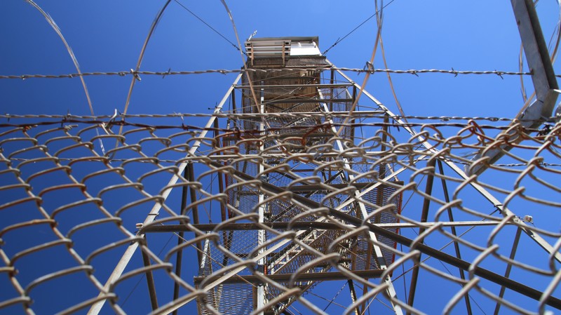
The Deer Spring Fire Tower is located at the intersection with East Rim Road. If the tower is manned, you can always ask to come up and enjoy the views. There is also informational signage and a picnic table located at the base of the tower.
Updated: 10/15/2024
Naegelin Canyon
Forest Lakes, Arizona
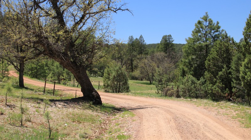
Naegelin Canyon is a story of two trails. Beginning in the south off Young Highway, the trail is a tame dirt track that eventually follows a seasonal drainage through a dense forest. The northern third of the trail narrows into a shelf road steeply climbing the southwestern slopes of Colcord Mountain. This portion of the trail sees little maintenance and has very few places for passing oncoming traffic. One washout across the trail is deceptively deep. The trail is primarily a loose rock and dirt surface, suitable for any high clearance vehicle.
The southern and middle sections of the trail have a handful of shady dispersed campsites. Most have fire rings and are suitable for tent camping. There are no campsites on the northern part of the trail past an old cattle corral.
Updated: 01/07/2025
Black Mountains 7759
Dolan Springs, Arizona
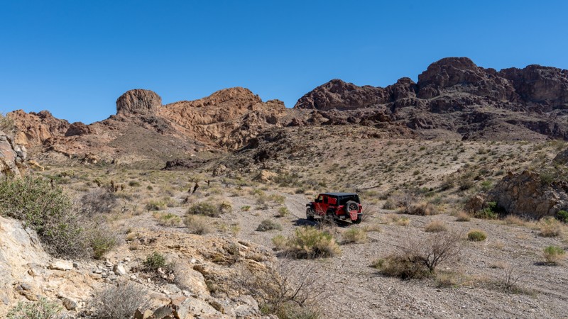
Tiptoeing the boundaries of the 1860s Oatman Mining District, 7759 beckons adventurers into some of the most remote and rugged terrain of the Black Mountains. This seldom-traveled desert trail unveils a visually stunning landscape of jagged volcanic peaks, deep metamorphic canyons, and miles of sparse black brush shrubs dotted with the formidable jumping cholla. For those seeking a truly secluded adventure through the Mojave Desert ecosystem, 7759 promises an unforgettable experience.
Updated: 10/15/2024
Bunker Hill
Sedona, Arizona
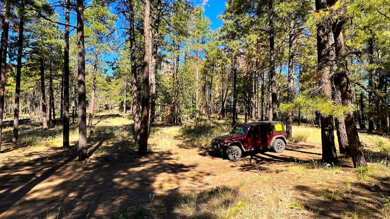
Bunker Hill takes you deeper into the Coconino National Forest, away from the usual path. It winds through tall pines away from the nearby recent burn areas. Combined with the Bunker Hill Loop, it creates a small loop around the base of Bunker Hill. The trail is mainly hard-packed dirt with loose rocks. It becomes moderately challenging towards the end, where there is a small boulder field. There are no campsites available along this trail.
Updated: 05/20/2024
Dutch Flat Connector
Yucca, Arizona
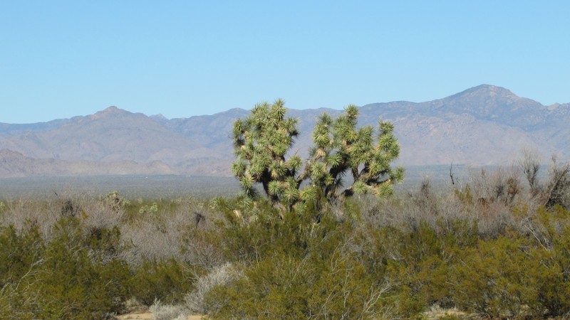
This is simply a connector trail between Dutch Flat Road and the Northern Foothills of the Mohave Mountains trail. While there is nothing glamorous about this connector, it expedites your access to the splendor and sites within the desert.

Upgrade your Membership
Unlock all of the details on every Trail Guide and Scout Route.
Start a 7-day Free TrialBrowse Trails in Arizona by City
Browse every Arizona city with offroad trail guides.
Community
Partners

