







By clicking "ACCEPT", you agree to be the terms and conditions of each policy linked to above. You also agree to the storing of cookies on your device to facilitate the operation and functionality of our site, enhance and customize your user experience, and to analyze how our site is used.
Arizona Off-Road Trails
373
Total Trail Guides 359

4679
Detailed Waypoints 676
Try a Free 7-Day Trial and unlock it all
Start a Free Trial Most Recent Trail Reviews
No Rating
Open
Visited: 09/23/2026
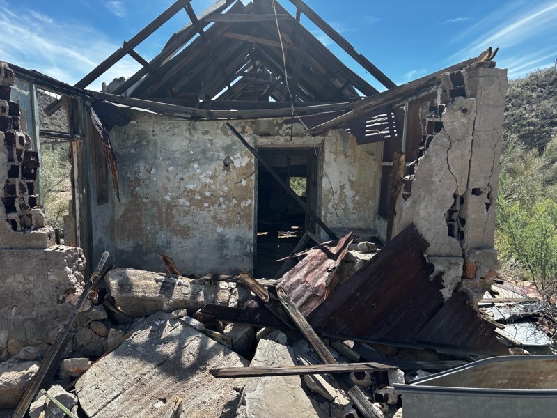
Gets a little technical at the end but the difficulty is spot on.

KR
Keith Ringiesen
No Rating
Open
Visited: 09/22/2026
The road was very smooth with the normal views running through the pines. Reminded us of many of the trails in the White Mountains.
T
Tom
No Rating
Open
Visited: 09/22/2026
Even with all of the recent rain, this trail was mostly dry ... a few ruts had water in them. Looks like there was a bad washout at the northern end of the trail on Apache Maid between waypoints 7 an...
T
Tom
No Rating
Open
Visited: 09/22/2026
Still an easy trail ... even after all of the rain.
T
Tom
Rated 4/5
Open
Visited: 09/22/2026
Hard pack, easy forest service road that is a great back way to the North Rim of the Grand Canyon.

Tyler D’Hulst
Rated 4/5
Open
Visited: 09/22/2026
Spring Canyon is a beautiful drive. We didn’t go out to the cabin but used this western section of road coming back from Crazy Jug

Tyler D’Hulst
Rated 4/5
Open
Visited: 09/22/2026
We took this out to Crazy Jug. The northern section is hard packed forest service road. Not difficult. Very scenic drive through the ponderosas.

Tyler D’Hulst
Rated 5/5
Open
Visited: 09/22/2026
View point is spectacular! Trail was easy going out, no obstacles at all. Saw a Toyota Camery at the viewpoint.


Tyler D’Hulst
Rated 3/5
Open
Visited: 09/22/2026
An alternative route out to Crazy Jug Point. It’s easy and can be scenic in areas. I’d recommend West Ryan out to Crazy Jug though.
Tyler D’Hulst
Rated 3/5
Open
Visited: 09/22/2026
A quick connector trail through the burn patch.
Tyler D’Hulst
Rated 5/5
Open
Visited: 09/20/2026
Leviathan Mine trail is a full day trip. Though it is only 20 miles in length the travel is slow and rough. Majority of the trail you will be going between 5-10 MPH. Then once at the end it connects w...



Eric Gartin
Official Crew
Rated 5/5
Open
Visited: 09/19/2026
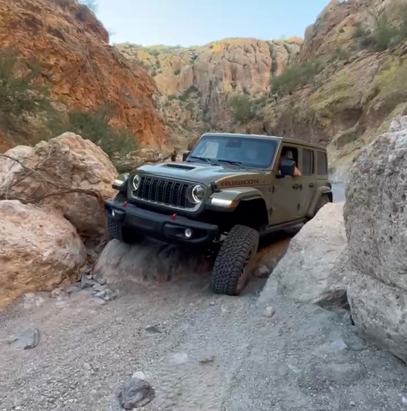
The harder obstacles aren’t that bad anymore. With the amount of sand and gravel that has washed into the canyon. The main constraint is the wedge between the 2 rocks; but I found it easy if you stick...
BC
Brian C
Rated 4/5
Open
Visited: 09/19/2026
Simple road, well graded today. Many mountain bikers coming down from the West out of Breezy Pines. Not too many people out until approaching Senator Hiway. We went East to West as I think thats a bet...



Jeff Burnett
Rated 3/5
Open
Visited: 09/19/2026
The trail itself is not spectacular, it's pretty flat across the plains. However, driving up to the overlook and seeing a huge gaping hole in the ground is a great juxtaposition to the flat trail. The...
Tyler D’Hulst
Rated 3/5
Open
Visited: 09/19/2026
A nice trail ride from the main road down off the plateau. It's graded forest service road until the switchbacks. The switchbacks themselves are not difficult, road is not graded. This section has bee...
Tyler D’Hulst
Rated 3/5
Open
Visited: 09/18/2026
The end of the trail is not well marked, and can cause confusion. Also, vehicle passes are required for all backcountry routes within the Lake Mead National Recreation Area.
Eric Gartin
Official Crew

Ted Whisler
No Rating
Open
Visited: 09/17/2026
Nice ride west side a little rocky but rating is true to #2


Ted Whisler
Rated 3/5
Open
Visited: 09/15/2026
A nice drop off the plateau heading towards Marble Canyon. Not a difficult road. Road is weathered but not challenging.
Tyler D’Hulst
No Rating
Temporary Closure
Visited: 09/15/2026
Road closed due to multiple washed out wash crossings after the turn off to go up the mountain. "Road Closed" sign put out by BLM on trail.
Tyler D’Hulst
No Rating
Temporary Closure
Visited: 09/15/2026
After the turn off to head up the mountain there are multiple washed out wash crossings. A "Road Closed" sign has been put out by the BLM.
Tyler D’Hulst

Ben Ruddell
Official Crew
Rated 4/5
Open
Visited: 09/14/2026
Bogles Ranch Road is a great Sunday afternoon drive type of dirt road that climbs up in elevation and gives some spectacular views of the surrounding area. The first half passes through State and Priv...


Eric Gartin
Official Crew
Ben Ruddell
Official Crew
Rated 3/5
Open
Visited: 09/14/2026
Antares Road is an excellent way to travel from Route 66 to the eastern portion of the Lake Mead National Recreation Area. This wide county road is well maintained with minor washboarding, most of whi...


Eric Gartin
Official Crew
Rated 3/5
Open
Visited: 09/14/2026
Hackberry road is a wide dirt road with minimal erosion damage and washboarding. There are a couple of larger washes that cross Hackberry road creating wide stretches of loose sand which can cause iss...


Eric Gartin
Official Crew
Rated 3/5
Open
Visited: 09/13/2026
This is a very rough, rocky, & slow going trail. Expect around 4+ hours for the trail & another hour to get the highway. One of those trails I'm happy I did but I wont be back personally. High clearan...

Brandon W
No Rating
Open
Visited: 09/12/2026
I think the rating is spot on. The ruts and washouts at the beginning are not as bad and if you hug the inside of the shelf road they can be avoided. The middle part is same general sandy wash with ov...



Greg Page
Rated 4/5
Open
Visited: 09/11/2026
Ran this trail as part of a larger loop. Trail is in great shape. Easy for standard 4x4 with no lift. Passengers can do it until maybe the very end by the lake where the road gets rocky and washed out...


Jeff Burnett
Rated 5/5
Open
Visited: 09/10/2026
This is one of my favorite scenic trails in the area. The trail is easy to travel, but does have some optional short trails that will test your vehicle. The views from the Grand Wash Cliffs of the Hua...


Eric Gartin
Official Crew
Rated 3/5
Open
Visited: 09/07/2026
This trail by itself is nothing special. It is mostly used as an access road to get to the more technical trail such as Homecourt, Twister, and Waynes World. This is a great trail for the beginner to ...


Eric Gartin
Official Crew
Rated 3/5
Open
Visited: 09/07/2026
This trail is an enjoyable alternate route when traveling on Blake Ranch Road (7163). The trail is easy with only a handful of spots with erosion damage. The few established camping sites appear to n...


Eric Gartin
Official Crew
Rated 5/5
Open
Visited: 09/07/2026
Ran this trail from Boynton Pass Road to Loy Butte Road (opposite direction from what is listed). Ran into a few rental ATVs and a couple of Jeeps heading the opposite way. This was a fun trail wit...



Daniel Macioce
Rated 5/5
Open
Visited: 09/07/2026
This trail was a lot of fun, plus the views were amazing. I ran the trail in the order posted, starting at the south trailhead and finishing at the heritage site. Past a motorcycle, a few jeeps and a...


Daniel Macioce
Rated 4/5
Open
Visited: 09/07/2026
Nice trail, ran West to East. For some reason the map shows this a a one-way trial, East to West. That is not the case, it is a two way trail. Was pretty washed out starting around mile 12. Plenty roc...


Jeff Burnett
No Rating
Open
Visited: 09/06/2026
New trail for me. You didn’t know what it would throw at you around every corner which is why you try to find new trails or old forgotten ones
KB
Kory Burden
Rated 5/5
Open
Visited: 09/06/2026
The trail is no joke—steep, narrow, and technical enough that you’ll want to be comfortable with off-camber shelf roads, rocky terrain, and washouts that will test your vehicles articulation. The rew...



Bobby Rumbaugh
Official Crew
Rated 5/5
Open
Visited: 09/06/2026
Fun trail if you don't want to do pyeatt draw itself. Ran this trail 3yrs ago and definitely a little more erosion but, still any truck or suv with good factory ground clearance can do it. From previo...
JM
James m
Rated 4/5
Open
Visited: 09/06/2026
Ran this trail from I-17 to Sedona. Extraordinary views descending into Sedona. As others have noted, there are lots of rock on the trail, making it slow going. Passed a large number of Pink Jeeps ...


Daniel Macioce
Rated 4/5
Open
Visited: 09/05/2026
This one definitely changed over the last few years. The southern section has some legit, steep, off-camber sections. YOU NEED experience, backup, and a capable vehicle on this one now. It's not supe...


.jpg)
Bobby Nelson
Official Crew
Rated 4/5
Open
Visited: 09/05/2026
Another amazing time on this scenic crossover. We came in from Walnut Canyon and finished out on Price Road after about 6 hours. A challenging and hot day for the old TJ. Rincon Road has evolved into ...


Bobby Nelson
Official Crew
Rated 4/5
Open
Visited: 09/05/2026
We started exactly at sunrise to try and beat the heat. We planned to crossover to Box Canyon and out on Price Road. It ended up taking us 6 hours, even with all the photos and filming we did. A chall...


Bobby Nelson
Official Crew
Rated 5/5
Open
Visited: 09/04/2026
We recently ran Four Peaks after the monsoon rains. Here’s what we found and what to expect if you’re planning to run it. Have a GR8 day!

Jeep 4 Dirt
Rated 5/5
Open
Visited: 09/04/2026
Breathtaking views. Definitely don't rush through the trail. Devil's staircase was a bit slippery but awesome. A few tight stops here and there, but a trail that's a must on anyone's to do list.



Christopher Bradley
Rated 4/5
Open
Visited: 08/30/2026
Id say this is a 3.5 to 4 trail. There are some obstacles, but nothing you really need to think hard about how to approach. If you send your vehicle at it in 4 low you'll get through everything.



Justin Holsinger
Rated 4/5
Open
Visited: 08/28/2026
Rim Road (FS300) West to East. Very well groomed gravel forest road. Accessible by just about any vehicle thats not been lowered. Who does that anyway? Scenic views the whole route. Hard to believe on...


Jeff Burnett
Rated 4/5
Open
Visited: 08/28/2026
Not a bad road but it was crowded with sxs and vehicles towing campers. Hard to rate 5 stars for a busy road. Super easy any vehicle can do this. Part is paved near the freeway but the rest is gravel.

Tony Rockwell
Rated 4/5
Open
Visited: 08/28/2026
I rated 4 stars just due to the volume of sxs & camper trailers on the road.
Easy drive, any car can do this.
Ran from sheep springs to munds park, see other reviews for full route.

Tony Rockwell
Rated 4/5
Open
Visited: 08/28/2026
I ran Bar M in reverse to get to this trail. Then headed toward Casner Park Road. (See reviews I did on each of those)
Nice easy trail that is less rough than Bar M.
Nice drive through trees.


Tony Rockwell
Most Popular
Updated: 06/05/2022
YE06 Eastern
Tonopah, Arizona
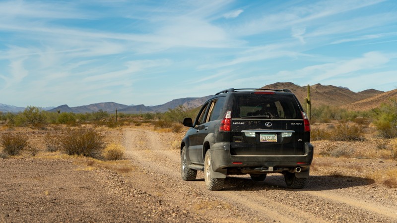
Shadowed by the Clanton Hills to the north and opening up into the Palomas Plains to the east, YE 06 is a simple connector road for a much more grand expedition. Combine this with either Palomas Harquahala Road or Norton Road for one long day of adventure, or better yet, open up that rooftop tent along the way and make it a multi-day trip!
Updated: 05/21/2024
7361
Wikieup, Arizona
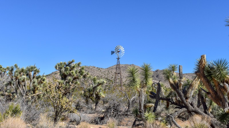
Joshua and juniper trees are more prominent than the typical surroundings. Even a few sumacs intermixed with assorted cacti, lining a pretty single-lane road traveling alongside and in Groom Springs Wash. Less than two hours from Lake Havasu or Wickenberg, this trail is an excellent detour off the beaten path when combined with 7366.


Updated: 10/15/2024
East Buckskin
Heber-Overgaard, Arizona
East Buckskin begins off Highway 20 near the town of Heber-Overgaard and runs southward to East Rim Road. There's a nice viewpoint about halfway down the trail. Several nice dispersed campsites are near East Rim Road. The trail is packed dirt with some embedded rocks.
Updated: 08/24/2026
Old Rim Road
Forest Lakes, Arizona
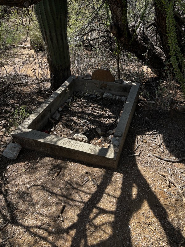
Al Fulton. Shot. 1901.
The gravemarker still sits against an ancient tree just south of Lake One, near the General Crook hiking trail. Little is recorded about Al or his death. The grave is a short hike from the Mogollon Rim Visitor Center, which sits at the start of Old Rim Road, FR 171, which runs along Fulton Point, a scenic vista perched atop the Mogollon Rim.
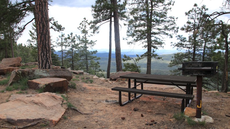
Old Rim Road is all about camping. The first quarter mile from the Visitor Center on the west end of the road is a designated day-use area with multiple sites sitting right on the edge of the Rim with picnic tables and expansive views. The remainder of the 2.5-mile well-maintained forest road has 49 designated campsites supporting everything from tent camping to RVs. The ones on the west end of the track have Rim views. The others sit in a shady Ponderosa Pine forest. The sites range in size from single-vehicle to large sites subdivided into as many as five smaller campsites. Most are fairly level with stone fire rings. There are no other services.
Camping is free but limited to 14 consecutive days. Camping is only allowed at designated sites and within 50 feet of the “camp here” signs. This is a congested area, so shooting is not allowed.
Updated: 10/15/2024
Hart Canyon
Wiggins Crossing, Arizona
Hart Canyon, FR 75, loops off Wallace, FR 34. The easy road is packed dirt with small loose rocks. It crosses one well-marked section of private property. Please respect the no-trespassing signs.
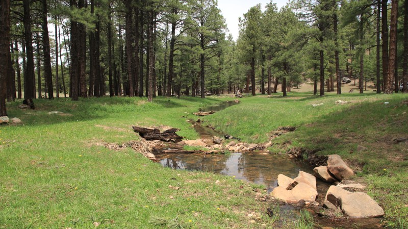
A large cattle corral is just over a half mile from the northern end of the trail. Adjacent to the corral, a spur runs northward along beautiful Hart Canyon. This scenic area can be reserved as a group campsite by calling the Black Mesa Ranger District at 928-535-7300. The grassy site can accommodate at least two dozen rigs. It has shady pines and sits beside a small spring-fed stream perfect for splashing in on warm summer days.
There are also a few scattered, dispersed campsites along the trail.
Updated: 10/15/2024
South Pocket Lookout
Oak Creek Canyon, Arizona
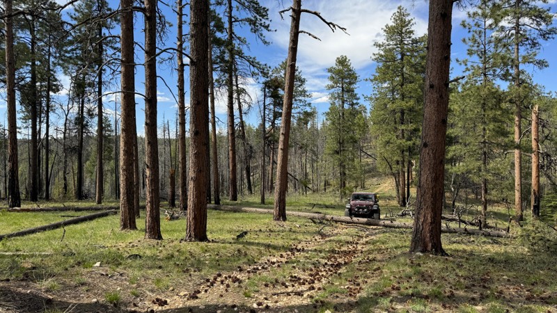
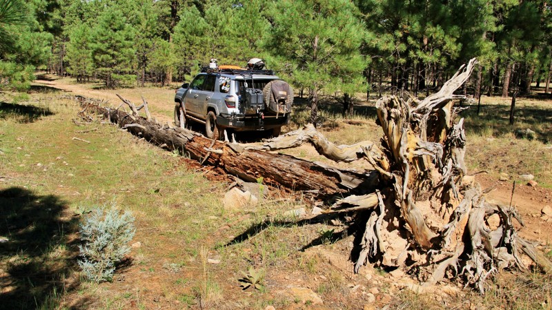
This trail is rated as moderate due to the need to navigate over a few fallen trees and logs, requiring high clearance. Without these obstacles, it would be considered an easy trail. At the end of the route depicted here, you will encounter a large area filled with fallen trees, obstructing further passage. However, you can still hike to the edge of the ridge to enjoy breathtaking views of Maroon Mountain, South Pocket, and Sedona to the southeast.
Shortly after the beginning of the trail, there is a well-defined campsite with enough space for 1-2 vehicles. The site is located on a flat, level, grassy area right next to the trail.
Updated: 06/05/2022
FR 513A
Pine, Arizona
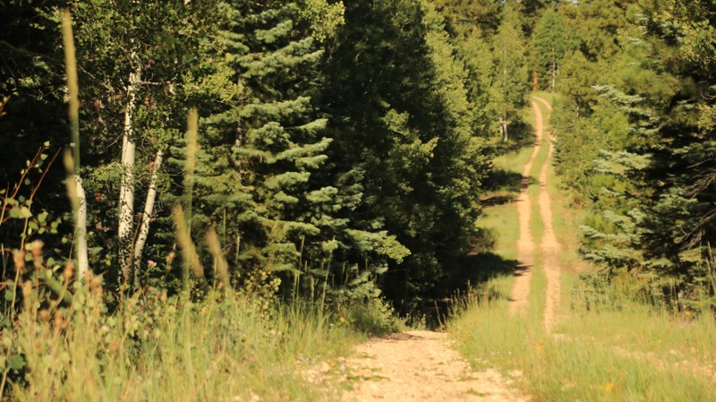
Nestled in a group of interesting side trails on the eastern portion of the vast Coconino National Forest, FR 513A cuts through a deep Ponderosa pine forest. Free-range cattle graze the area in summer. But elk, deer, turkeys, and the occasional black bear also call this forest home. While not far off the pavement, this area is often overlooked by campers and adventurists. FR 513A makes for an interesting little drive with fine scenery and just enough challenge to hold your interest and make your passenger reach for the grab handle now and then. Combined with the other similar trails nearby, this little gem can be part of a very enjoyable afternoon on the trails without the usual weekend crowds.
Updated: 10/15/2024
FR 239
North Rim, Arizona
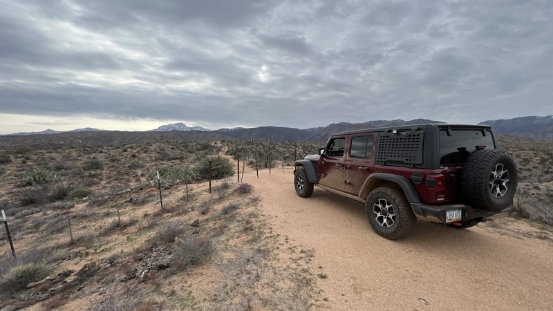
FR 239 connects Fire Point and Dry Ridge Park. The eastern end has campsites suitable for groups or RVs and trailers. Smaller campsites dominate the central part of the trail. Further west, the trail is seldom used, with high grass growing between the two tracks.
Updated: 10/15/2024
Tonto FR 3312
Tonto Basin, Arizona
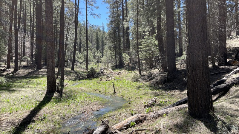
FR 3312 begins off Highway 188 and takes you up the hillside to nice views of the Four Peaks. It is rocky and narrow but easily manageable. There is one established campsite about halfway up the trail. There are cattle and wildlife watering holes on and around this trail, so ensure your camp is at least 1/4 mile from any water.
Updated: 10/15/2024
FR 141H
Washington Park, Arizona
Forest Road 141H connects to both the FR 141 and Battleground Ridge trails. It is a beautiful and well-maintained trail that's accessible by most vehicles. This trail intersects with Miller Canyon which offers breathtaking views of the surrounding ponderosa pines. Wildlife sightings are common with bird watching being a popular activity on this trail.
Updated: 10/15/2024
Florida Canyon
Madera Canyon, Arizona
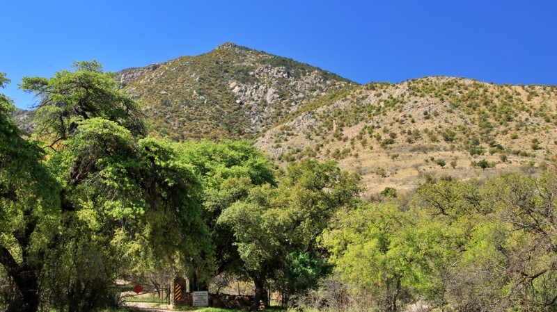
Florida Canyon is a well-maintained dirt road to a hiking trailhead. Along the way, there are three campsites. Two are small, but the third is large and shaded. The hiking trailhead has a parking area beside a small stream. A gated service road and the hiking trail continue uphill into the southwestern slopes of the Santa Rita Mountains.
Updated: 05/20/2026
Superstition Wash Drop
Gold Canyon, Arizona
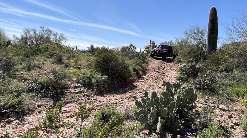
Superstition Wash Drop is a short trail connecting the Superstition Loop and Superstition End of the Line. It also provides access to the Superstition Fence Line Heights trail. The west end starts with a rocky descent into a wash, then immediately climbs back out. Low-gear 4WD may be needed to exit the wash since the loose rocks and larger boulders tend to move as you climb. This is a narrow trail with overhanging branches and encroaching brush. The potential for pinstripes is very high.
This area is Arizona State Trust Land. A recreational permit is required.
Updated: 10/15/2024
FR 222
North Rim, Arizona
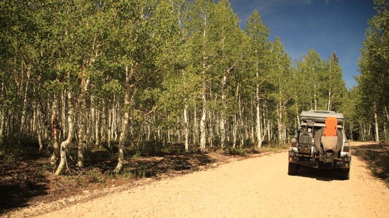
FR 222 is a graded east-west arterial road through the Kaibab National Forest connecting VT Ridge and Dry Ridge Park providing access to the scenic western portion of the Kaibab Plateau. There is a nice campsite at the intersection with FR 231.
Updated: 10/15/2024
Tonto FR 3310
Tonto Basin, Arizona
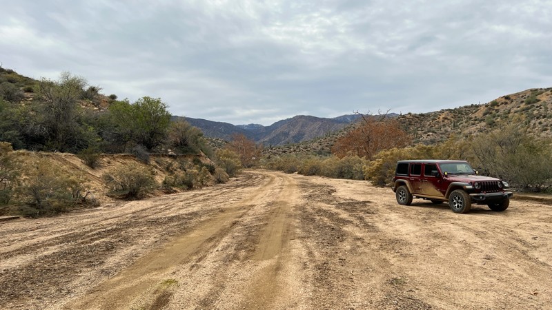
FR 3310 is a very short and easy sandy trail. This is a great location to set up a base camp while off-roading in the area. It is adjacent to the east entrance to Trail 143, which travels over Four Peaks.
Updated: 10/15/2024
Old Alamo Road
Alamo Lake, Arizona
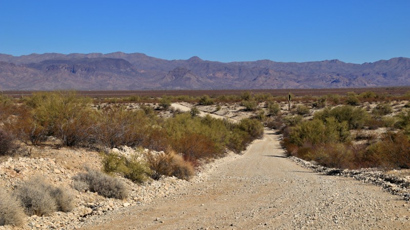
The original Alamo Road spurs off its paved replacement to run over 9 miles through a broad cactus and creosote brush studded plain to intersect with Wickenbug Alamo and Palmertita Roads. There’s a large staging area at the southern end of the trail. The wide dirt trail crosses sandy washes, but 2WD is adequate.
There are limited campsites along Old Alamo Road, the largest able to host multiple RVs about 3.5 miles from the southern end. The best camping in the area is at the western end of Wickenburg Alamo Road near Alamo Lake.
Updated: 11/07/2025
Red Rock Powerline
Clarkdale, Arizona
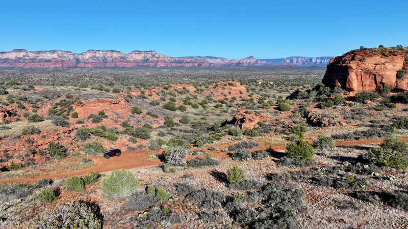
Of the ten named off-road trails within the Red Rock Ranger District, this one sits among the furthest from Sedona, offering a more remote and less-traveled experience. While it primarily follows a power line corridor, the route surprises visitors with its own scenic vistas and a solid canyon section midway through that’s well worth stopping to admire.
Over the years, the trail has been graded, making it more accessible, yet it still features a few rocky ledges, steep climbs reaching 17–18 degrees, and enough uneven terrain to keep things interesting. For those seeking the best views, it’s recommended to run the trail south to north during the evening, when the setting sun bathes the red rocks in brilliant hues, revealing the landscape’s true beauty. There are no viable campsites along this trail however designated dispersed camping is available along Loy Butte Road.
Updated: 10/15/2024
Swansea Connector
Swansea, Arizona
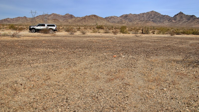
Running from paved Shea Road to Swansea Road, this easy connector provides the best route from Parker across the Cactus Plain to the Swansea ghost town. There are also very nice campsites on the west and central parts of the trail with views of Swansea and Planet Peaks to the north. The well-maintained trail crosses several sandy washes and briefly follows a powerline. The trail also crosses the Central Arizona Project aqueduct, transporting Colorado River water to central Arizona communities.
Updated: 09/29/2025
Greaterville Road
Greaterville, Arizona
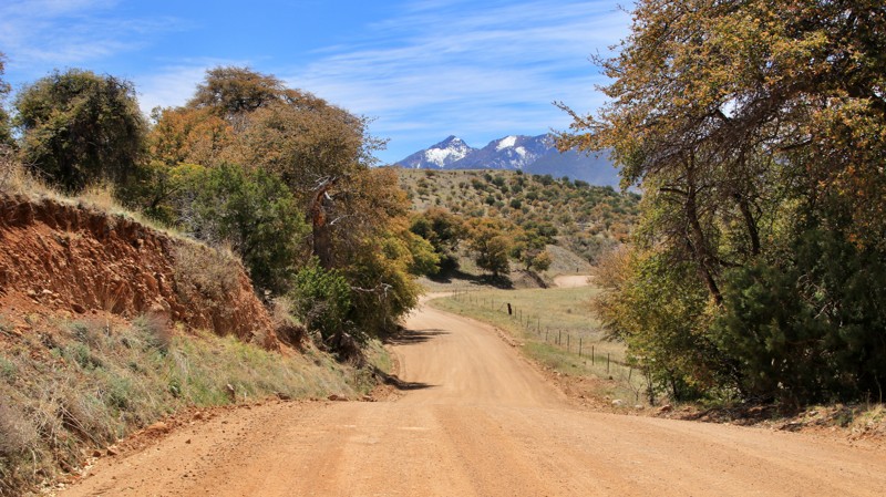
Greaterville was once a small mining community in the eastern foothills of the Santa Rita Mountains. The town, founded in the 1879s and supposedly named after an area pioneer, supported placer mining for gold. Today, the area is gated private property with prominent no-trespassing signs.
Greaterville Road is a short trip through mostly private enclaves in the Coronado National Forest. The well-maintained dirt track traverses an oak and juniper forest, passing a picturesque bucolic ranch with lovely views of the Santa Rita Mountains. Small cous deer often lurk in the roadside shadows. Along the way, the trail intersects Los Posos Gulch, FR 4068, and Melendrez Pass, FR 165.
Greaterville Road is not a good camping trail. Substantial camping is available nearby, especially in the Las Cienegas National Conservation Area.
Updated: 10/15/2024
Arizona Bay Road
Mohave Crossing, Arizona
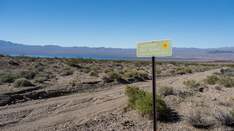
Arizona Bay Road is a straight-through road connecting two different points of Cottonwood Cove East. It has sections of soft sand but is generally a mix of loose and packed gravel with occasional washboard and shallow ruts. This road is much sandier than other roads in the area, and although the trail can be done in 2WD, a high clearance 4WD vehicle is recommended. The road is a shortcut to Arizona Bay and the Colorado River. The drive provides fantastic views of the Black Mountains and Lake Mohave. There are no pre-established campsites along this road.
Although this road is within the Lake Mead National Recreation Area fee area, there are no entrance stations along the way to obtain a pass.
Updated: 04/10/2026
Ruin Mountain
Parks, Arizona
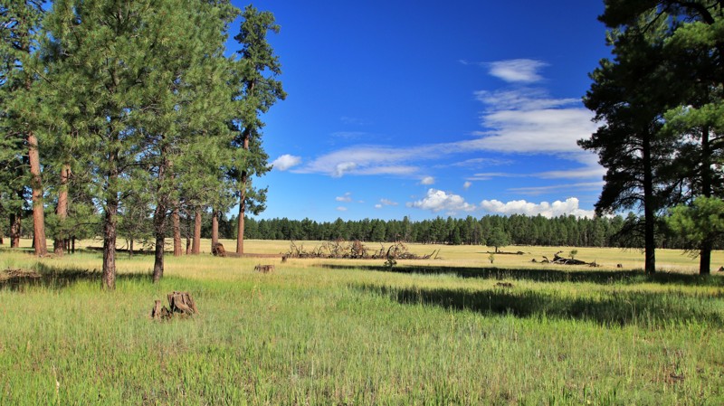
Ruin Mountain, starting near the White Horse Lake Campground and ending on Sycamore Point, is a gravel road with minor washboarding. Passing through Ponderosa pines and alpine meadows, the relaxing trail offers several campsites midway through its track. With fire rings and shade, each site is suitable for multiple rigs.
Updated: 10/15/2024
Fresnal Road
Los Panchos, Arizona
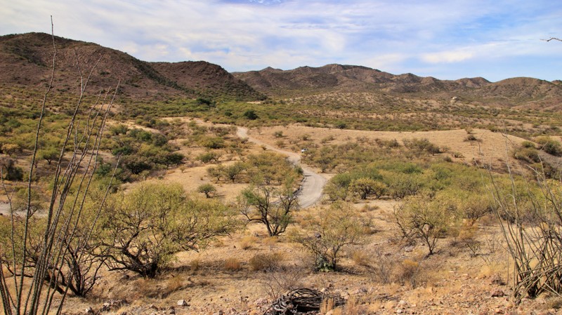
Fresnal Road begins at Garcia Ranch in the Buenos Aires National Wildlife Refuge and crosses into the Coronado National Forest. The road's western end is very close to the US/Mexico border. The borer wall makes an interesting transition as it climbs the western slopes of Cerro del Fresnal. The winding road passes through a prototypical Lower Sonoran Desert landscape of cacti and mesquites as it climbs in and out of sandy desert washes. The east end becomes a steep shelf road as it climbs to intersect with Tre Bolotis Road.
There are numerous dispersed campsites along the trail. The best site sits at the lower end of the shelf road section.
Updated: 10/15/2024
Tre Bolotis Road
Rancho La Agua Nueva, Arizona
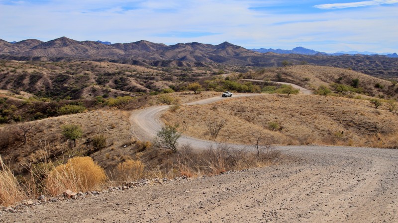
Running south from the tiny hamlet of Arivaca, Tre Bolotis crosses desert washes, climbs a high ridge via narrow winding shelf roads, and descends into an oak-strewn valley. The trail begins in the Fraguita Wash and crosses a short stretch of well-marked private property. The ridgeline sits high above the surrounding landscape, providing vast views of southern Arizona. Narrow blind curves make you slow down and concentrate on the road. The descent on the southern end is via steep switchbacks. The trail drops into a long, narrow valley dotted with large oak trees. There are plenty of excellent shaded campsites in the valley. The trail ends at a private ranch gate.
Updated: 08/24/2026
Lonesome Lake
Forest Lakes, Arizona
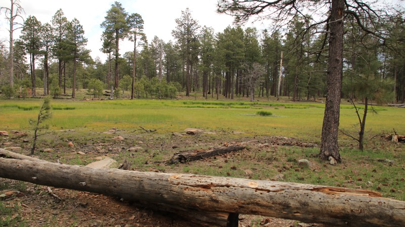
Lonesome Lake, named after its marshy watering hole midway along the trail, has abundant camping. Camping is free but limited to 14 consecutive days and must be within 300 feet of the road. The road has minor ruts and potholes and ends at a powerline. The trail beyond has been abandoned but seems to be used by ATVs.
The cool summer temperatures make the Mogollon Rim a popular camping destination. The campsites range from single tent to large group size. Most have flat ground and a fire ring. Ravens, squirrels, and elk share the vast Ponderosa pine forest and often make appearances near camp.
Updated: 06/05/2022
FR 139C
Pine, Arizona
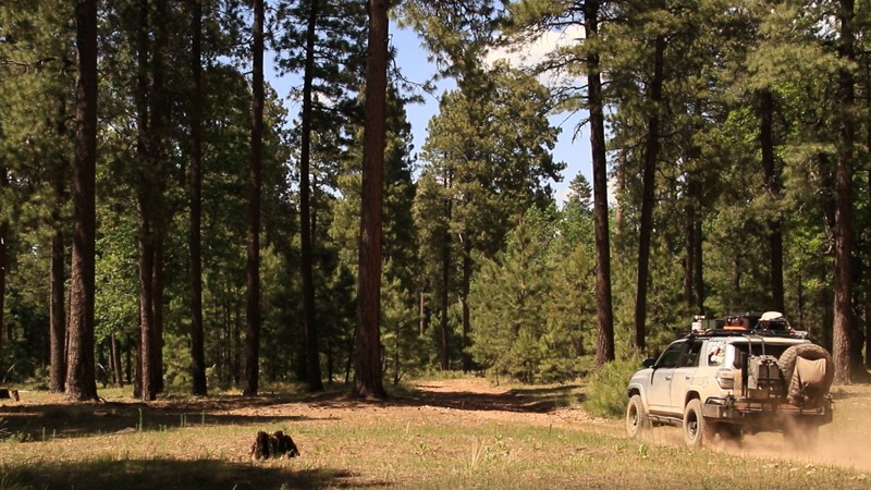
FR 139C is a short jewel of a trail in the Coconino National Forest. The trail runs through a mixed-conifer forest. Besides the ever-present Ponderosa pines, spruce and fir trees stand tall beside the trail. Spruce and fir are rare in Arizona and thrive in very limited locations. Their presence lends a certain Rocky Mountain flavor to the area. The trail briefly runs alongside an unnamed grassy draw with a seasonal stream and a small spring. Look for elk grazing in the draw during the early mornings and late afternoons. The last half of the trail rides atop a wide ridgeline between Merritt Draw on the north and Barbershop Canyon on the south. From the end of the trail, it is easy to see the outline of both canyons merging. The openness of the forest beckons you to stop and take a stroll. Wild raspberries and blackberries flourish in late Summer and early Fall. Picturesque campsites beckon visitors to pitch a tent and stay a while.

Upgrade your Membership
Unlock all of the details on every Trail Guide and Scout Route.
Start a 7-day Free TrialBrowse Trails in Arizona by City
Browse every Arizona city with offroad trail guides.
Community
Partners

