






By clicking "ACCEPT", you agree to be the terms and conditions of each policy linked to above. You also agree to the storing of cookies on your device to facilitate the operation and functionality of our site, enhance and customize your user experience, and to analyze how our site is used.
Arizona Off-Road Trails
373
Total Trail Guides 359

4679
Detailed Waypoints 676
Try a Free 7-Day Trial and unlock it all
Start a Free Trial Most Recent Trail Reviews
Rated 4/5
Open
Visited: 09/22/2026
Hard pack, easy forest service road that is a great back way to the North Rim of the Grand Canyon.


Tyler D’Hulst
Rated 4/5
Open
Visited: 09/22/2026
Spring Canyon is a beautiful drive. We didn’t go out to the cabin but used this western section of road coming back from Crazy Jug

Tyler D’Hulst
Rated 4/5
Open
Visited: 09/22/2026
We took this out to Crazy Jug. The northern section is hard packed forest service road. Not difficult. Very scenic drive through the ponderosas.

Tyler D’Hulst
Rated 5/5
Open
Visited: 09/22/2026
View point is spectacular! Trail was easy going out, no obstacles at all. Saw a Toyota Camery at the viewpoint.


Tyler D’Hulst
Rated 3/5
Open
Visited: 09/22/2026
An alternative route out to Crazy Jug Point. It’s easy and can be scenic in areas. I’d recommend West Ryan out to Crazy Jug though.
Tyler D’Hulst
Rated 3/5
Open
Visited: 09/22/2026
A quick connector trail through the burn patch.
Tyler D’Hulst
Rated 5/5
Open
Visited: 09/20/2026
Leviathan Mine trail is a full day trip. Though it is only 20 miles in length the travel is slow and rough. Majority of the trail you will be going between 5-10 MPH. Then once at the end it connects w...



Eric Gartin
Official Crew
Rated 4/5
Open
Visited: 09/19/2026
Simple road, well graded today. Many mountain bikers coming down from the West out of Breezy Pines. Not too many people out until approaching Senator Hiway. We went East to West as I think thats a bet...



Jeff Burnett
Rated 3/5
Open
Visited: 09/19/2026
The trail itself is not spectacular, it's pretty flat across the plains. However, driving up to the overlook and seeing a huge gaping hole in the ground is a great juxtaposition to the flat trail. The...
Tyler D’Hulst
Rated 3/5
Open
Visited: 09/19/2026
A nice trail ride from the main road down off the plateau. It's graded forest service road until the switchbacks. The switchbacks themselves are not difficult, road is not graded. This section has bee...
Tyler D’Hulst
Rated 3/5
Open
Visited: 09/18/2026
The end of the trail is not well marked, and can cause confusion. Also, vehicle passes are required for all backcountry routes within the Lake Mead National Recreation Area.
Eric Gartin
Official Crew

Ted Whisler
No Rating
Open
Visited: 09/17/2026
Nice ride west side a little rocky but rating is true to #2


Ted Whisler
Rated 3/5
Open
Visited: 09/15/2026
A nice drop off the plateau heading towards Marble Canyon. Not a difficult road. Road is weathered but not challenging.
Tyler D’Hulst
No Rating
Temporary Closure
Visited: 09/15/2026
Road closed due to multiple washed out wash crossings after the turn off to go up the mountain. "Road Closed" sign put out by BLM on trail.
Tyler D’Hulst
No Rating
Temporary Closure
Visited: 09/15/2026
After the turn off to head up the mountain there are multiple washed out wash crossings. A "Road Closed" sign has been put out by the BLM.
Tyler D’Hulst

Ben Ruddell
Official Crew
Rated 4/5
Open
Visited: 09/14/2026
Bogles Ranch Road is a great Sunday afternoon drive type of dirt road that climbs up in elevation and gives some spectacular views of the surrounding area. The first half passes through State and Priv...


Eric Gartin
Official Crew
Ben Ruddell
Official Crew
Rated 3/5
Open
Visited: 09/14/2026
Antares Road is an excellent way to travel from Route 66 to the eastern portion of the Lake Mead National Recreation Area. This wide county road is well maintained with minor washboarding, most of whi...


Eric Gartin
Official Crew
Rated 3/5
Open
Visited: 09/14/2026
Hackberry road is a wide dirt road with minimal erosion damage and washboarding. There are a couple of larger washes that cross Hackberry road creating wide stretches of loose sand which can cause iss...


Eric Gartin
Official Crew
Rated 3/5
Open
Visited: 09/13/2026
This is a very rough, rocky, & slow going trail. Expect around 4+ hours for the trail & another hour to get the highway. One of those trails I'm happy I did but I wont be back personally. High clearan...

Brandon W
No Rating
Open
Visited: 09/12/2026
I think the rating is spot on. The ruts and washouts at the beginning are not as bad and if you hug the inside of the shelf road they can be avoided. The middle part is same general sandy wash with ov...



Greg Page
Rated 4/5
Open
Visited: 09/11/2026
Ran this trail as part of a larger loop. Trail is in great shape. Easy for standard 4x4 with no lift. Passengers can do it until maybe the very end by the lake where the road gets rocky and washed out...


Jeff Burnett
Rated 5/5
Open
Visited: 09/10/2026
This is one of my favorite scenic trails in the area. The trail is easy to travel, but does have some optional short trails that will test your vehicle. The views from the Grand Wash Cliffs of the Hua...


Eric Gartin
Official Crew
Rated 3/5
Open
Visited: 09/07/2026
This trail by itself is nothing special. It is mostly used as an access road to get to the more technical trail such as Homecourt, Twister, and Waynes World. This is a great trail for the beginner to ...


Eric Gartin
Official Crew
Rated 3/5
Open
Visited: 09/07/2026
This trail is an enjoyable alternate route when traveling on Blake Ranch Road (7163). The trail is easy with only a handful of spots with erosion damage. The few established camping sites appear to n...


Eric Gartin
Official Crew
Rated 5/5
Open
Visited: 09/07/2026
Ran this trail from Boynton Pass Road to Loy Butte Road (opposite direction from what is listed). Ran into a few rental ATVs and a couple of Jeeps heading the opposite way. This was a fun trail wit...



Daniel Macioce
Rated 5/5
Open
Visited: 09/07/2026
This trail was a lot of fun, plus the views were amazing. I ran the trail in the order posted, starting at the south trailhead and finishing at the heritage site. Past a motorcycle, a few jeeps and a...


Daniel Macioce
Rated 4/5
Open
Visited: 09/07/2026
Nice trail, ran West to East. For some reason the map shows this a a one-way trial, East to West. That is not the case, it is a two way trail. Was pretty washed out starting around mile 12. Plenty roc...


Jeff Burnett
No Rating
Open
Visited: 09/06/2026
New trail for me. You didn’t know what it would throw at you around every corner which is why you try to find new trails or old forgotten ones
KB
Kory Burden
Rated 5/5
Open
Visited: 09/06/2026
The trail is no joke—steep, narrow, and technical enough that you’ll want to be comfortable with off-camber shelf roads, rocky terrain, and washouts that will test your vehicles articulation. The rew...



Bobby Rumbaugh
Official Crew
Rated 5/5
Open
Visited: 09/06/2026
Fun trail if you don't want to do pyeatt draw itself. Ran this trail 3yrs ago and definitely a little more erosion but, still any truck or suv with good factory ground clearance can do it. From previo...
JM
James m
Rated 4/5
Open
Visited: 09/06/2026
Ran this trail from I-17 to Sedona. Extraordinary views descending into Sedona. As others have noted, there are lots of rock on the trail, making it slow going. Passed a large number of Pink Jeeps ...


Daniel Macioce
Rated 4/5
Open
Visited: 09/05/2026
This one definitely changed over the last few years. The southern section has some legit, steep, off-camber sections. YOU NEED experience, backup, and a capable vehicle on this one now. It's not supe...


.jpg)
Bobby Nelson
Official Crew
Rated 4/5
Open
Visited: 09/05/2026
Another amazing time on this scenic crossover. We came in from Walnut Canyon and finished out on Price Road after about 6 hours. A challenging and hot day for the old TJ. Rincon Road has evolved into ...


Bobby Nelson
Official Crew
Rated 4/5
Open
Visited: 09/05/2026
We started exactly at sunrise to try and beat the heat. We planned to crossover to Box Canyon and out on Price Road. It ended up taking us 6 hours, even with all the photos and filming we did. A chall...


Bobby Nelson
Official Crew
Rated 5/5
Open
Visited: 09/04/2026
We recently ran Four Peaks after the monsoon rains. Here’s what we found and what to expect if you’re planning to run it. Have a GR8 day!

Jeep 4 Dirt
Rated 5/5
Open
Visited: 09/04/2026
Breathtaking views. Definitely don't rush through the trail. Devil's staircase was a bit slippery but awesome. A few tight stops here and there, but a trail that's a must on anyone's to do list.



Christopher Bradley
Rated 4/5
Open
Visited: 08/30/2026
Id say this is a 3.5 to 4 trail. There are some obstacles, but nothing you really need to think hard about how to approach. If you send your vehicle at it in 4 low you'll get through everything.



Justin Holsinger
Rated 4/5
Open
Visited: 08/28/2026
Rim Road (FS300) West to East. Very well groomed gravel forest road. Accessible by just about any vehicle thats not been lowered. Who does that anyway? Scenic views the whole route. Hard to believe on...


Jeff Burnett
Rated 4/5
Open
Visited: 08/28/2026
Not a bad road but it was crowded with sxs and vehicles towing campers. Hard to rate 5 stars for a busy road. Super easy any vehicle can do this. Part is paved near the freeway but the rest is gravel.

Tony Rockwell
Rated 4/5
Open
Visited: 08/28/2026
I rated 4 stars just due to the volume of sxs & camper trailers on the road.
Easy drive, any car can do this.
Ran from sheep springs to munds park, see other reviews for full route.

Tony Rockwell
Rated 4/5
Open
Visited: 08/28/2026
I ran Bar M in reverse to get to this trail. Then headed toward Casner Park Road. (See reviews I did on each of those)
Nice easy trail that is less rough than Bar M.
Nice drive through trees.


Tony Rockwell
Rated 5/5
Open
Visited: 08/28/2026
Very bumpy due to rock infused trail. A few larger rocks, 8-12” tall in places but most stock 4x4’s should be able to navigate around or over them. I would say any 4x4 with all terrain tires could nav...


Tony Rockwell
Rated 3/5
Open
Visited: 08/27/2026
Overall decent little trail; camped out near Committee Tank (not suitable for tent camping - too rocky). Nothing too technical but enough to keep things interesting. High clearance and good line choi...


Bill Ferguson
Rated 3/5
Open
Visited: 08/27/2026
Connector from FS801 (Rock Garden Loop) to FS09494F (Committee Tank Trail); yeah, it lives up to its namesake. Very rocky. High clearance and picking good lines are an absolute must. Car camped at...

Bill Ferguson
Rated 5/5
Open
Visited: 08/27/2026
Nice trail saw some deer it’s a little rough but overall was easy


M
Maddox
Rated 5/5
Open
Visited: 08/23/2026
Great little adventure for the day. Dirt road is pretty rutted up due to monsoons, but easily drivable. Lake itself is extremely low.
LL
Larry Lapp
Rated 4/5
Open
Visited: 08/22/2026
A fun side trip that has a steep hill climb. Due to recent rains, the wildflowers were blooming.


Bobby Rumbaugh
Official Crew
Most Popular

Updated: 07/06/2026
FR 361
Cottonwood, Arizona
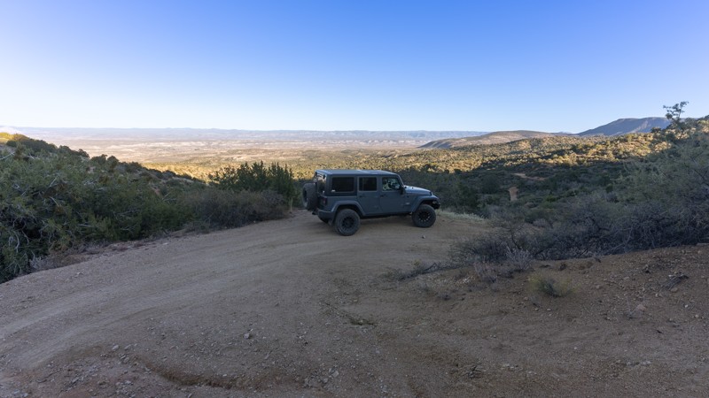
Climbing into the Black Hills, FR 361 has multiple obstacles, such as varied depth ruts, small ledges, and steep rocky climbs. The Hardest Part photo doesn't do this obstacle justice, as it is much steeper than it looks. Some obstacles include off-camber inclines and declines. There are numerous pullouts to view the red rocks of Sedona in the distance. The trail passes by several springs, including the Blue Monster Spring and the Pfau Spring. There are also old mining ruins near Pfau Spring. The northern half is a bumpy, uneventful road with a good view of the surrounding areas. This trail is for day use only and does not allow camping.
Updated: 09/22/2023
Buck Springs
Pine, Arizona
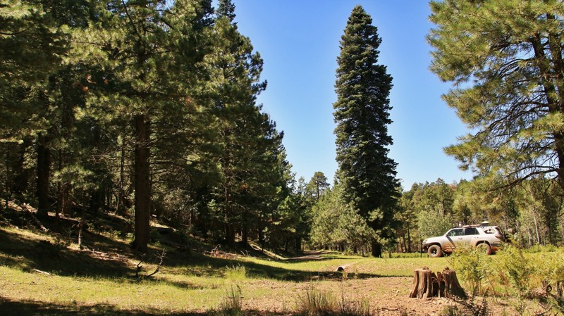
In 1923 a rancher by the name of R. Pyle built a small cabin on the edge of a bucolically beautiful alpine meadow with several wonderfully reliable springs. The springs became known as Buck Springs. Later the fledgling Forest Service built a cabin and then another to house fireguards during the summer fire season. The Buck Springs Fire Guard station was the most remote of a network of such cabins. Today two of the three historic Buck Springs cabins still stand in the tall pines along the peacefully serene meadow. The land around Buck Springs is now a part of the vast Coconino National Forest that spans 1.856 million acres in northern Arizona's high country. Buck Springs Road, FR 161, is located in the easternmost portion of the Coconino. The road offers an easy way to visit the remote cabins and take a stroll around the meadow while listening to the wind sing in the tops of the tall Ponderosa pines, possibly interrupted by the bugle of a nearby bull elk. Buck Springs Road travels deeper into a seldom-visited part of the vast and ancient forest. The forest floor is often clear of underbrush, carpeted with pine straw, and seemingly begging you to abandon your rig and just go exploring. Spacious campsites sit along the edge of Buck Springs Canyon or tucked up on short spur trails. If you are looking for a little trip that combines history and beauty with a completely relaxing environment, Buck Springs may be just what you seek.
Updated: 10/15/2024
Cibola Road
La Paz Valley, Arizona
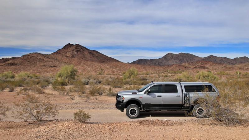
Cibola Road crosses the Army's Yuma Proving Ground between Highway 95 and the Ehrenberg Cibola Road. Before starting the road, call the Proving Ground at 928 328-2047 for permission to enter. There is signage on the road's eastern end with information about entering the probing ground. The western end does not have signage. The Proving Ground may refer to the road as Cibola Lakes. Permission is granted unless there is a test in the area involving explosives. Do not leave the roadway as the area has not been fully cleared of unexploded ordinance. Thus, there is no camping on the trail.
On the eastern end, the road is wide and well-graded. Midway through, the trail becomes sandy and rough as it follows Mojave Wash through the Trigo Mountains. 4WD is recommended due to the deep sand.
Updated: 10/15/2024
Deer Lake
Christopher Creek, Arizona
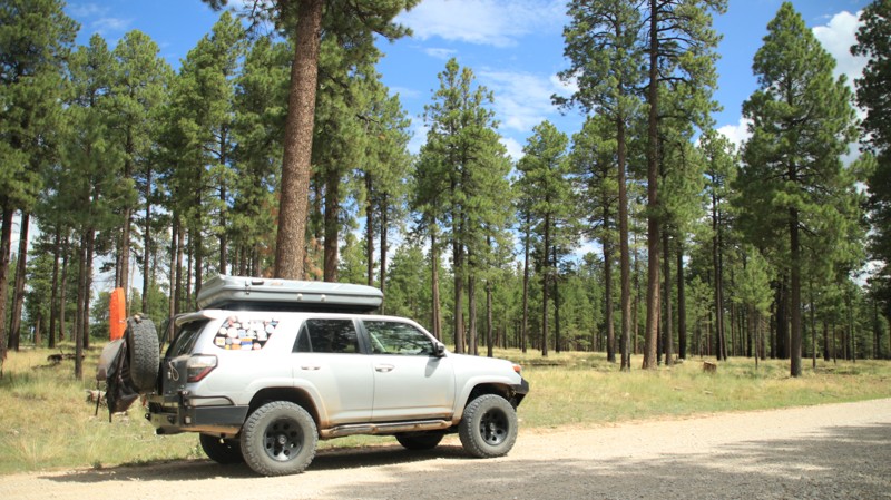
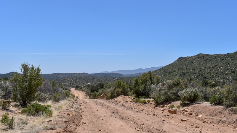
Deer Lake passes through park-like Ponderosa Pine woodlands in the Sitgreaves National Forest. The trail connects Rim Road in the south to Heber Mormon Crossing in the north. The trail's southern end is part of the Rim Lakes Recreation Area, where camping is only allowed in numbered campsites. As the trail goes north, other camping opportunities abound, and the landscape slowly morphs into a juniper grassland.
Updated: 09/10/2026
7163
Pine Lake, Arizona
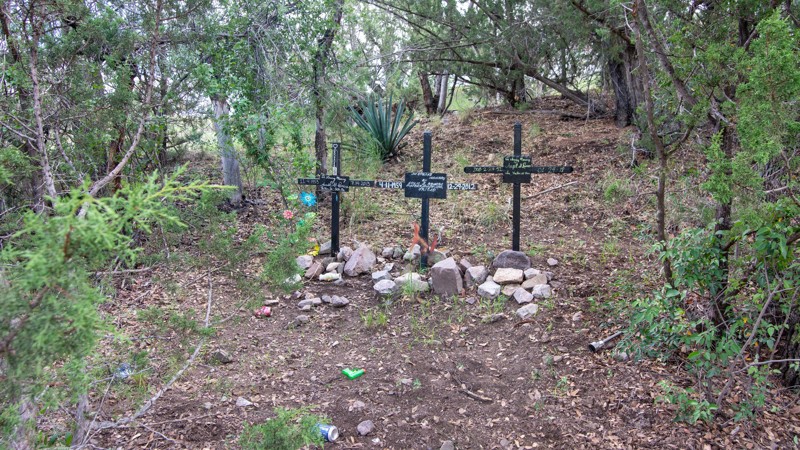
7163, Blake Ranch Road, runs through 20 miles of gorgeous mountain scenery from I-40 at Exit 66 to Highway 93, 18 miles north of Wikieup. There are a few patches of soft sand, a couple of miles of single-lane trail with blind hills, seasonal creek crossings, and views for miles. Are you looking for Moss Wash Trail? This trail is how you get there. Prefer roads like this one? Check out 7163, Flag Mine Road, Boriana Mine Road, Alamo Road, and Chicken Springs Road for an all-day exploration of the Hualapai Mountains.
Updated: 06/05/2022
Barrel Canyon
Sonoita, Arizona
This short trail parallels the Rosemont Junction Trail FR 231 near Sonoita Arizona. It travels through Rosemont Camp, which is currently the headquarters of the Hudlow Mining Corporation. The Rosemont Mine has proven quite controversial as the Save the Scenic Santa Ritas activist group, and the Center For Biological Diversity have both opposed the plans for the copper mine.
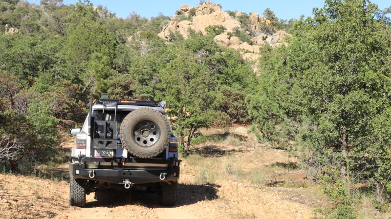
Barrel Canyon is a great ride through some cool shady areas. The trail offers some special surprise artifacts, a little bit of 4WD challenge, and great views. You could shortcut off of the Rosemont Junction/FR 231 Trail, or make a loop back to where you started. There are many different options, but all lead to the bottom of Barrel Canyon.
Updated: 06/05/2022
Coal Camp Road
Crown King, Arizona
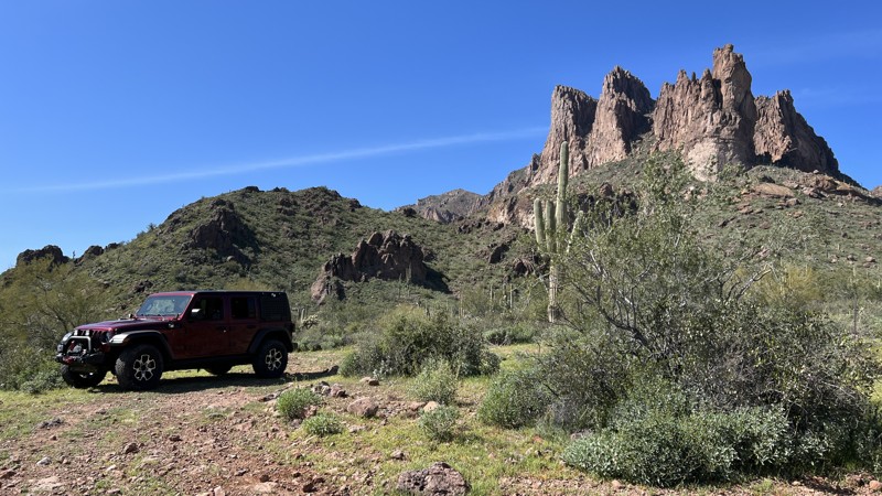
If the beautiful Horse Thief Basin wasn't adventurous enough for you, just keep going for a short side trip on Coal Camp Road. This narrow rocky trail is seldom used and offers the driver a few challenges. But Coal Camp Road also provides some great views from the southeastern tip of the Bradshaw Mountains. There's also another little-known gem along this lonely trail. The Hohokam Culture lived in both the Bradshaw Mountains and the valley that now is Phoenix from 300 to 1500 AD. Contemporaries of the famed Anasazi Culture, they built pueblo-style dwellings and complex irrigation systems. They also built rock fortresses on high points throughout the area. Each fortress had a line of sight with at least one other forming a network. The purpose of the structures is not known. A short hike from the trail takes you to South Fort, where one small wall of a fortress remains. The views of Lake Pleasant, Phoenix, Perry Mesa, and New River Mesa from there are fantastic. Coal Camp Road delivers amazing views and entertaining driving challenges along its entire length. Come enjoy the adventure.
Updated: 05/20/2026
Superstition Fence Line Heights
Gold Canyon, Arizona
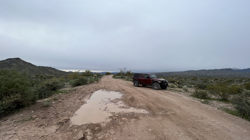
Superstition Fence Line Heights begins off Peralta Road. The trail runs north, following a cattle fence line to the boundary of the Superstition Wilderness. The obstacles along the way primarily are rocky hills and desert washes. Approaching the mountains, the terrain gets rougher with larger rocks, loose soil, and narrow passages. The brush will also leave pinstripes on your vehicle.
The payoff at the north end is spectacular views of the Superstition Mountains and areas to tent or vehicle camp. The trail also provides access to the Lost Goldmine Hiking Trail.
This area is Arizona State Trust Land. A recreational permit is required.
Updated: 12/13/2024
Sycamore MT1848
Fort McDowell, Arizona
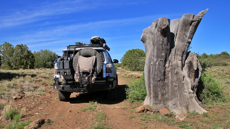
MT1848 runs between MT1847, the Sycamore Creek bed, and links with MT403 and MT1852. The southern end is hard-packed dirt and rock transitioning to sand once at the bottom of the large hill shown in the Hardest Part photograph. The mapped track provided runs north to south and up the large hill. The trail rating is moderate based on navigating the hill and high-banked blind corners. Be cautious of other vehicles since this popular trail draws many vehicle types.
There are multiple places to set up a small camp along the way. The largest spot on the north end can accommodate multiple vehicles.
Updated: 06/05/2022
South Mesa
Bagdad, Arizona
Anderson Mesa is a large flat rocky juniper-covered shelf pushed up against the mountains of the Camp Wood area. One solitary road climbs its southern escarpment and slogs its boulder-strewn way north towards the tall pines and babbling brooks of the mountains. The trail was likely named South Mesa instead of Anderson Mesa since it goes south across the mesa from the historic Yolo Ranch. The adventurous driver is rewarded with superb views after climbing to the south side of the mesa. Take a minute and walk out to the edge of the caprock and enjoy the vastness below you. The next three miles of South Mesa require fortitude and attention as the trail narrows and tests your suspension, kidneys, and patience. The ride is ceaseless jostling as the driver constantly attempts to pick the less rocky line. Near the intersection with Conger Water, the road turns to more dirt than boulders and improves steadily as pines replace the junipers. The broad pine-dotted camping area is almost postcard-perfect, a nice place for a night or maybe just a picnic and time to stretch your legs. For its final encore, South Mountain becomes a bucolic treasure as it passes the pastures of the Yolo Ranch, with horses grazing on the left and cattle up in the pines to the right. Deer and turkey are plentiful here as well, so keep a keen eye peeled. The trail dumps you back onto Camp Wood Road, which offers passage to even more adventures.
Updated: 10/15/2024
Wayne's World
McConnico, Arizona
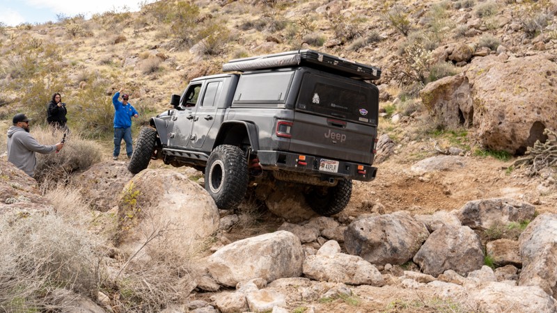
Wayne's World is a straight-through bouldery rock crawling trail located a short distance from Kingman, Arizona. The trail traverses entirely on State Trust Land, so you must be sure to acquire a recreational permit. The trail makes its way through a tight wash that offers very little line selection and no easy bypasses. Coffee-table-sized boulders are the norm throughout the length of this trail, and steep waterfalls with deep holes will stretch your suspension and easily have you three-wheeling at times. Large boulders move with each passing vehicle, changing the lines constantly. Short-wheelbase vehicles will have an easier time slaloming between pinch points, but rock sliders on any vehicle are guaranteed to take a beating. The rock-crawling section of the trail lasts just over half a mile before reaching a ridgeline where you follow the powerlines back to the main road.
This trail is best suited for modified vehicles with larger tires, dual traction aid devices, and body armor.
Updated: 10/15/2024
Secret Mountain
Oak Creek Canyon, Arizona
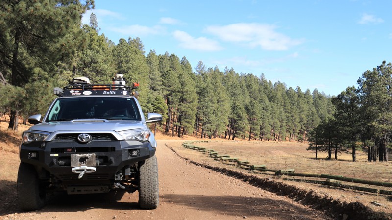
This trail leads deeper into the Coconino National Forest and provides access to the Secret Mountain Hiking Trailhead, beautiful dispersed camping sites, additional offroad trails, long-forgotten ranching cabins, and connects to Casner Mountain via the Bunker Ridge Trail. The trail is primarily made of hard-packed dirt but has protruding rocks and bumps along the way. The northern section is very smooth for a forest road, but the further south you travel, the rougher it gets.
You will find many dispersed camping sites along this trail, many large enough to accommodate up to 10-12 vehicles. Larger trailers can access most sites since this is a relatively easy road. Most of the sites have fire rings and are shaded by tall Ponderosa pines.
The trail ends at the Secret Mountain Hiking Trailhead in the south, where parking is available for approximately ten vehicles. This trailhead provides access to the numerous Red Rock Secret Mountain Wilderness hiking trails.
Updated: 06/09/2023
FR 147
Payson, Arizona
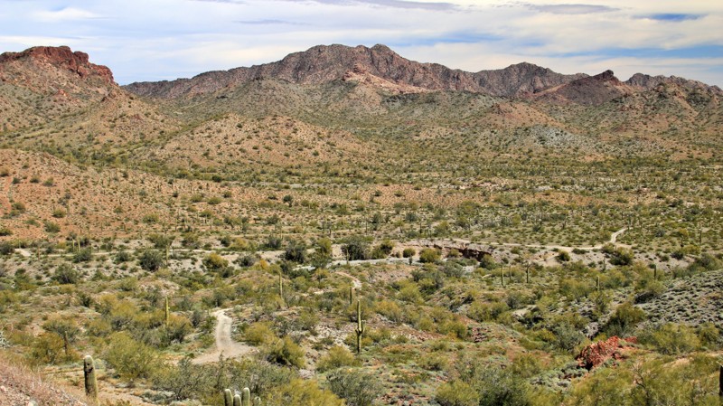
The Mogollon Rim is a rugged country cut with deep canyons separated by steep wooded ridges. Roads are often rocky and rough. FR 147 is a winding ribbon of smooth trail that transports you gently into this imposing and inspiring wild landscape. Set in the vast Coconino National Forest, FR 147 runs from Highway 87 to Rim Road, perhaps the most scenic of all trails in central Arizona. Along the way, FR 147 slices through forests of old-growth Ponderosa pines, crosses shallow canyons and draws with names like Cienaga, Poverty Flat, Potato, and Quaking Aspen. On its southern end, the winding trail parallels the headlands of East Clear Creek which gathers invaluable summer monsoon runoff and winter snowmelt for deposit into the deep and blue C.C. Cragin Reservoir. Potato Lake draws the local forest denizens to its shallow shores for a reliable drink. The Rim Country is undeniably as rugged as it is beautiful. Your drive into it should be beautiful too, but it doesn't have to be rough. Enjoy FR 147.
Updated: 12/16/2024
W. W. Enterprize Mine
Tonopah, Arizona
W. W. Enterprize Mine runs north from Canal Road into the southern Belmont Mountains to the small mine of the same name. The approach to the mine crosses a deep sandy wash followed by a steep climb. The mine tailings have been leveled and used as a small campsite with a great view.
Updated: 07/06/2026
Rolls 1805
Fort McDowell, Arizona
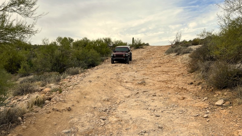
Rolls 1805 starts where 1804 ends. There is a good camping spot right where these two trails meet that overlooks the valley below. This trail is primarily fairly loose rock as your traverse along several ridge lines. There is one rocky hill climb. The most difficult section of this trail comes right before the intersection with trail 1863. It is a steep hill descent that has had significant change with the summer monsoon storms. Use extreme caution maneuvering through this section! There is a steep drop-off. Walk this area first to evaluate if this is within your abilities and to pick a proper line. A spotter is recommended. This trail is rated difficult due to this drop-off. Once safely down the hill, 1805 ends at the intersection with 1863.
Please note that an OHV permit is now required on this trail.
Updated: 10/15/2024
Locust Point
Ryan, Arizona
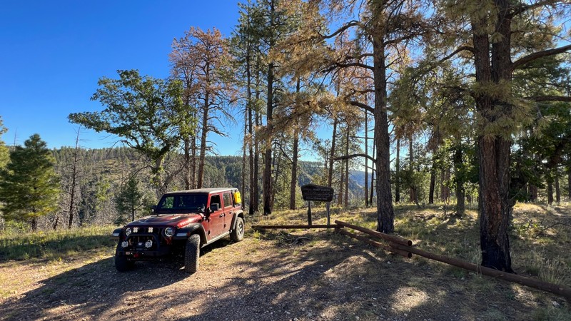
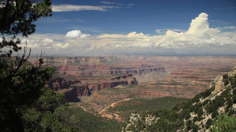
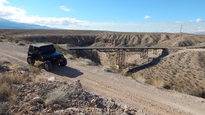
Locust Point, FR 294, goes west through an old-growth pine forest to a very nice viewpoint. There's limited camping at the viewpoint. A short walk is required to get the best views. The viewpoint also serves as a hiking trailhead for the Rainbow Rim Trail. The road has minor potholes but is an easy drive.
Updated: 06/05/2022
Sand Hollow Wash
Mesquite, Arizona
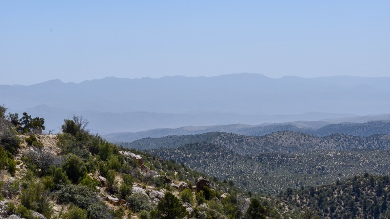
Who doesn't like to drive through tunnels while off-road? At only one mile long, Sand Hollow Wash certainly brings a lot to the table. Whether you're looking to start a long overland adventure or just getting out to play around in the desert for the day, you will certainly enjoy this short be, unique 4x4 trail. The trailhead area is a very popular boondocking location for OHV enthusiasts during the winter months. You can set up basecamp along the cliffs above the Virgin River, then take this trail to the other side of I-15, where there are countless trails and historical sites to visit.
Updated: 07/15/2026
7192
Pine Lake, Arizona
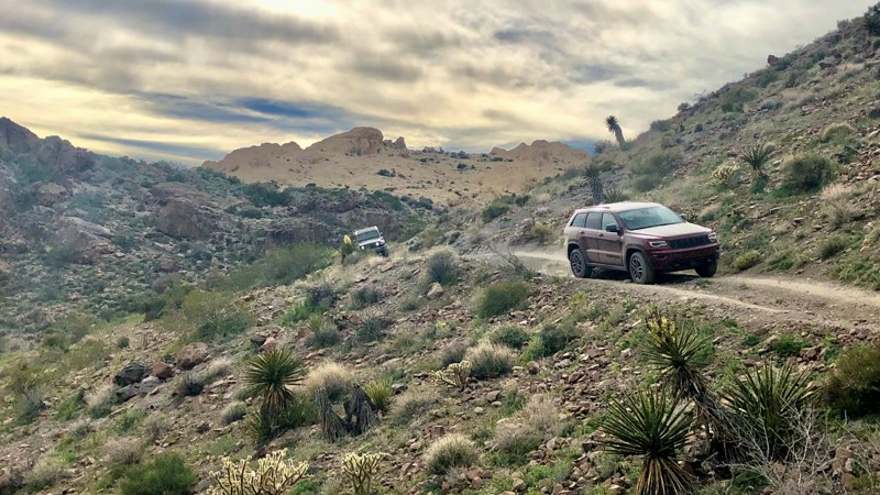
7192 is the Antelope Wash Fire Evacuation route for the residents and visitors of Hualapai Mountain. It connects Flag Mine Road (7101) with Blake Ranch Road (7163), with incredible views and mines. Just one more road on or off the mountain, but it's a fun one!
Updated: 03/08/2026
Sleeping Princess OHV Trail
Bullhead City, Arizona
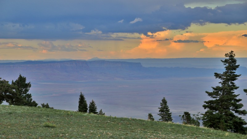
This trail starts in a wide sandy wash but quickly transitions into a series of rocky obstacles as it winds up the valley. During the ascent, you will find both solid and loose rock climbs, small boulder fields, a pinch point that makes full-size trucks feel like you're driving a school bus, and a shelf road through a scree field demanding a driver's full attention. You are rewarded with beautiful views of the Colorado River and Lake Mohave for making it to the top. Precise tire placement is critical to maintain traction on climbs and avoid cutting a sidewall on the shockingly sharp rocks. Having a spare tire or being proficient with your patch kit is HIGHLY recommended in this terrain.
Updated: 10/15/2024
Marble View Point
North Rim, Arizona
Marble View Point attracts campers and photographers with its unparalleled vistas from the bare arrowhead-shaped point jutting eastward off the edge of the Kaibab Plateau. The road to Marble View Point is easy but always has a few mudholes. The bottoms are solid. The view from the short spur road at the end showcases the Vermillion Cliffs, best seen in the late afternoon sun, Navajo Mountain in the distant east, and Marble Canyon, the first segment of the Grand Canyon to the south.
There's plenty of room to camp in the edge of the trees. Marble View Point is a very popular camping destination. You will typically have neighbors. There's even cell phone service.
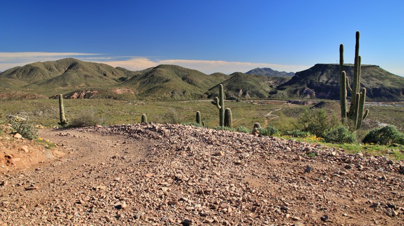
Updated: 06/04/2026
Crosscut
New River, Arizona
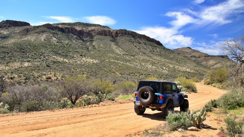
Crosscut runs between New River Canyon and Moores Gulch. The rutted trail climbs and descends approximately 600 feet, crossing a prominent ridgeline with expansive 360-degree views. One small one-vehicle campsite on the northern slope has excellent views and a fire ring. The entire trail is on Arizona State Trust land, which requires a permit.
Updated: 07/21/2026
Cow Camp
Horse Thief Basin, Arizona
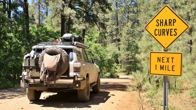
Cow Camp runs between the Wickenburg and Bradshaw Mountain ranges, connecting Backway to Crown King and Walker Gulch. The easy 5.8-mile scenic trail parallels and crosses French Creek as it alternates between BLM, Arizona State Trust, and private lands. While Arizona doesn't require a permit for you to drive the road, any other recreational activity on State Trust Land does require a permit. Use a good land use map to determine the ownership since boundaries are not well marked. There is one cattle gate along the trail. Please close it after passing through.
Several dispersed campsites near the trail's western end are suitable for several vehicles and tent camping. Additional campsites are near the busy intersection with Backway to Crown King.
Updated: 06/05/2022
FR 218A
Pine, Arizona
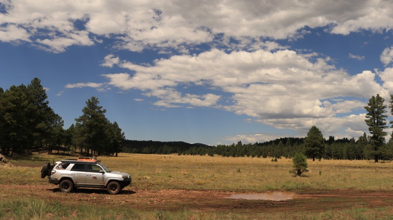
If a shortcut to some of the best camping on the Mogollon Rim sounds good, take FR 218A to Milk Ranch Point, with its many campsites right on the edge of the Rim. But slow down to enjoy the short drive along this pretty trail. Nestled in the soaring Ponderosa Pines of the vast Coconino National Forest, FR 218A is lined with sun-loving New Mexico Locusts, a tree that produces light pink clusters of flowers in late Spring and early Summer. FR 218A also offers prime camping, just in case the sites on the Rim are already taken. It isn't unusual to hear elk bugging in late Summer and early Fall. Wild turkeys may gobble near your camp in the late afternoons and early mornings. The breeze singing through the high branches of the tall pines can soothe the most frayed of nerves. Swing a hammock between two trees and relax.
Updated: 06/18/2022
Willow Valley
Mormon Lake, Arizona
Willow Valley is a scenic drive through an old-growth Ponderosa pine forest in the beautiful Coconino National Forest. At intervals, the forest gives way to several alpine meadows or parks in local parlance. The trail offers just enough bumps to make you know you are having a good time. This is prime elk habitat and home to the largest elk herd in North America, so don't be surprised when one runs across the road in front of you. But it is also home to a couple of large ranches that graze their herds here during the summer. Thus the road rumbles over numerous cattle guards. The Arizona National Scenic Trail crosses the road near Waypoint 12. This foot and equestrian trail runs the length of Arizona from the Mexican border to the Utah state line, a distance of over 800 miles, and draws enthusiasts worldwide. Enjoy the ride. You never know what you will find along Willow Valley.

Upgrade your Membership
Unlock all of the details on every Trail Guide and Scout Route.
Start a 7-day Free TrialCommunity
Partners

