






By clicking "ACCEPT", you agree to be the terms and conditions of each policy linked to above. You also agree to the storing of cookies on your device to facilitate the operation and functionality of our site, enhance and customize your user experience, and to analyze how our site is used.
Arizona Off-Road Trails
373
Total Trail Guides 359

4679
Detailed Waypoints 676
Try a Free 7-Day Trial and unlock it all
Start a Free Trial Most Recent Trail Reviews
Rated 4/5
Open
Visited: 09/22/2026
Hard pack, easy forest service road that is a great back way to the North Rim of the Grand Canyon.


Tyler D’Hulst
Rated 4/5
Open
Visited: 09/22/2026
Spring Canyon is a beautiful drive. We didn’t go out to the cabin but used this western section of road coming back from Crazy Jug

Tyler D’Hulst
Rated 4/5
Open
Visited: 09/22/2026
We took this out to Crazy Jug. The northern section is hard packed forest service road. Not difficult. Very scenic drive through the ponderosas.

Tyler D’Hulst
Rated 5/5
Open
Visited: 09/22/2026
View point is spectacular! Trail was easy going out, no obstacles at all. Saw a Toyota Camery at the viewpoint.


Tyler D’Hulst
Rated 3/5
Open
Visited: 09/22/2026
An alternative route out to Crazy Jug Point. It’s easy and can be scenic in areas. I’d recommend West Ryan out to Crazy Jug though.
Tyler D’Hulst
Rated 3/5
Open
Visited: 09/22/2026
A quick connector trail through the burn patch.
Tyler D’Hulst
Rated 5/5
Open
Visited: 09/20/2026
Leviathan Mine trail is a full day trip. Though it is only 20 miles in length the travel is slow and rough. Majority of the trail you will be going between 5-10 MPH. Then once at the end it connects w...



Eric Gartin
Official Crew
Rated 4/5
Open
Visited: 09/19/2026
Simple road, well graded today. Many mountain bikers coming down from the West out of Breezy Pines. Not too many people out until approaching Senator Hiway. We went East to West as I think thats a bet...



Jeff Burnett
Rated 3/5
Open
Visited: 09/19/2026
The trail itself is not spectacular, it's pretty flat across the plains. However, driving up to the overlook and seeing a huge gaping hole in the ground is a great juxtaposition to the flat trail. The...
Tyler D’Hulst
Rated 3/5
Open
Visited: 09/19/2026
A nice trail ride from the main road down off the plateau. It's graded forest service road until the switchbacks. The switchbacks themselves are not difficult, road is not graded. This section has bee...
Tyler D’Hulst
Rated 3/5
Open
Visited: 09/18/2026
The end of the trail is not well marked, and can cause confusion. Also, vehicle passes are required for all backcountry routes within the Lake Mead National Recreation Area.
Eric Gartin
Official Crew

Ted Whisler
No Rating
Open
Visited: 09/17/2026
Nice ride west side a little rocky but rating is true to #2


Ted Whisler
Rated 3/5
Open
Visited: 09/15/2026
A nice drop off the plateau heading towards Marble Canyon. Not a difficult road. Road is weathered but not challenging.
Tyler D’Hulst
No Rating
Temporary Closure
Visited: 09/15/2026
Road closed due to multiple washed out wash crossings after the turn off to go up the mountain. "Road Closed" sign put out by BLM on trail.
Tyler D’Hulst
No Rating
Temporary Closure
Visited: 09/15/2026
After the turn off to head up the mountain there are multiple washed out wash crossings. A "Road Closed" sign has been put out by the BLM.
Tyler D’Hulst

Ben Ruddell
Official Crew
Rated 4/5
Open
Visited: 09/14/2026
Bogles Ranch Road is a great Sunday afternoon drive type of dirt road that climbs up in elevation and gives some spectacular views of the surrounding area. The first half passes through State and Priv...


Eric Gartin
Official Crew
Ben Ruddell
Official Crew
Rated 3/5
Open
Visited: 09/14/2026
Antares Road is an excellent way to travel from Route 66 to the eastern portion of the Lake Mead National Recreation Area. This wide county road is well maintained with minor washboarding, most of whi...


Eric Gartin
Official Crew
Rated 3/5
Open
Visited: 09/14/2026
Hackberry road is a wide dirt road with minimal erosion damage and washboarding. There are a couple of larger washes that cross Hackberry road creating wide stretches of loose sand which can cause iss...


Eric Gartin
Official Crew
Rated 3/5
Open
Visited: 09/13/2026
This is a very rough, rocky, & slow going trail. Expect around 4+ hours for the trail & another hour to get the highway. One of those trails I'm happy I did but I wont be back personally. High clearan...

Brandon W
No Rating
Open
Visited: 09/12/2026
I think the rating is spot on. The ruts and washouts at the beginning are not as bad and if you hug the inside of the shelf road they can be avoided. The middle part is same general sandy wash with ov...



Greg Page
Rated 4/5
Open
Visited: 09/11/2026
Ran this trail as part of a larger loop. Trail is in great shape. Easy for standard 4x4 with no lift. Passengers can do it until maybe the very end by the lake where the road gets rocky and washed out...


Jeff Burnett
Rated 5/5
Open
Visited: 09/10/2026
This is one of my favorite scenic trails in the area. The trail is easy to travel, but does have some optional short trails that will test your vehicle. The views from the Grand Wash Cliffs of the Hua...


Eric Gartin
Official Crew
Rated 3/5
Open
Visited: 09/07/2026
This trail by itself is nothing special. It is mostly used as an access road to get to the more technical trail such as Homecourt, Twister, and Waynes World. This is a great trail for the beginner to ...


Eric Gartin
Official Crew
Rated 3/5
Open
Visited: 09/07/2026
This trail is an enjoyable alternate route when traveling on Blake Ranch Road (7163). The trail is easy with only a handful of spots with erosion damage. The few established camping sites appear to n...


Eric Gartin
Official Crew
Rated 5/5
Open
Visited: 09/07/2026
Ran this trail from Boynton Pass Road to Loy Butte Road (opposite direction from what is listed). Ran into a few rental ATVs and a couple of Jeeps heading the opposite way. This was a fun trail wit...



Daniel Macioce
Rated 5/5
Open
Visited: 09/07/2026
This trail was a lot of fun, plus the views were amazing. I ran the trail in the order posted, starting at the south trailhead and finishing at the heritage site. Past a motorcycle, a few jeeps and a...


Daniel Macioce
Rated 4/5
Open
Visited: 09/07/2026
Nice trail, ran West to East. For some reason the map shows this a a one-way trial, East to West. That is not the case, it is a two way trail. Was pretty washed out starting around mile 12. Plenty roc...


Jeff Burnett
No Rating
Open
Visited: 09/06/2026
New trail for me. You didn’t know what it would throw at you around every corner which is why you try to find new trails or old forgotten ones
KB
Kory Burden
Rated 5/5
Open
Visited: 09/06/2026
The trail is no joke—steep, narrow, and technical enough that you’ll want to be comfortable with off-camber shelf roads, rocky terrain, and washouts that will test your vehicles articulation. The rew...



Bobby Rumbaugh
Official Crew
Rated 5/5
Open
Visited: 09/06/2026
Fun trail if you don't want to do pyeatt draw itself. Ran this trail 3yrs ago and definitely a little more erosion but, still any truck or suv with good factory ground clearance can do it. From previo...
JM
James m
Rated 4/5
Open
Visited: 09/06/2026
Ran this trail from I-17 to Sedona. Extraordinary views descending into Sedona. As others have noted, there are lots of rock on the trail, making it slow going. Passed a large number of Pink Jeeps ...


Daniel Macioce
Rated 4/5
Open
Visited: 09/05/2026
This one definitely changed over the last few years. The southern section has some legit, steep, off-camber sections. YOU NEED experience, backup, and a capable vehicle on this one now. It's not supe...


.jpg)
Bobby Nelson
Official Crew
Rated 4/5
Open
Visited: 09/05/2026
Another amazing time on this scenic crossover. We came in from Walnut Canyon and finished out on Price Road after about 6 hours. A challenging and hot day for the old TJ. Rincon Road has evolved into ...


Bobby Nelson
Official Crew
Rated 4/5
Open
Visited: 09/05/2026
We started exactly at sunrise to try and beat the heat. We planned to crossover to Box Canyon and out on Price Road. It ended up taking us 6 hours, even with all the photos and filming we did. A chall...


Bobby Nelson
Official Crew
Rated 5/5
Open
Visited: 09/04/2026
We recently ran Four Peaks after the monsoon rains. Here’s what we found and what to expect if you’re planning to run it. Have a GR8 day!

Jeep 4 Dirt
Rated 5/5
Open
Visited: 09/04/2026
Breathtaking views. Definitely don't rush through the trail. Devil's staircase was a bit slippery but awesome. A few tight stops here and there, but a trail that's a must on anyone's to do list.



Christopher Bradley
Rated 4/5
Open
Visited: 08/30/2026
Id say this is a 3.5 to 4 trail. There are some obstacles, but nothing you really need to think hard about how to approach. If you send your vehicle at it in 4 low you'll get through everything.



Justin Holsinger
Rated 4/5
Open
Visited: 08/28/2026
Rim Road (FS300) West to East. Very well groomed gravel forest road. Accessible by just about any vehicle thats not been lowered. Who does that anyway? Scenic views the whole route. Hard to believe on...


Jeff Burnett
Rated 4/5
Open
Visited: 08/28/2026
Not a bad road but it was crowded with sxs and vehicles towing campers. Hard to rate 5 stars for a busy road. Super easy any vehicle can do this. Part is paved near the freeway but the rest is gravel.

Tony Rockwell
Rated 4/5
Open
Visited: 08/28/2026
I rated 4 stars just due to the volume of sxs & camper trailers on the road.
Easy drive, any car can do this.
Ran from sheep springs to munds park, see other reviews for full route.

Tony Rockwell
Rated 4/5
Open
Visited: 08/28/2026
I ran Bar M in reverse to get to this trail. Then headed toward Casner Park Road. (See reviews I did on each of those)
Nice easy trail that is less rough than Bar M.
Nice drive through trees.


Tony Rockwell
Rated 5/5
Open
Visited: 08/28/2026
Very bumpy due to rock infused trail. A few larger rocks, 8-12” tall in places but most stock 4x4’s should be able to navigate around or over them. I would say any 4x4 with all terrain tires could nav...


Tony Rockwell
Rated 3/5
Open
Visited: 08/27/2026
Overall decent little trail; camped out near Committee Tank (not suitable for tent camping - too rocky). Nothing too technical but enough to keep things interesting. High clearance and good line choi...


Bill Ferguson
Rated 3/5
Open
Visited: 08/27/2026
Connector from FS801 (Rock Garden Loop) to FS09494F (Committee Tank Trail); yeah, it lives up to its namesake. Very rocky. High clearance and picking good lines are an absolute must. Car camped at...

Bill Ferguson
Rated 5/5
Open
Visited: 08/27/2026
Nice trail saw some deer it’s a little rough but overall was easy


M
Maddox
Rated 5/5
Open
Visited: 08/23/2026
Great little adventure for the day. Dirt road is pretty rutted up due to monsoons, but easily drivable. Lake itself is extremely low.
LL
Larry Lapp
Rated 4/5
Open
Visited: 08/22/2026
A fun side trip that has a steep hill climb. Due to recent rains, the wildflowers were blooming.


Bobby Rumbaugh
Official Crew
Most Popular

Updated: 09/21/2026
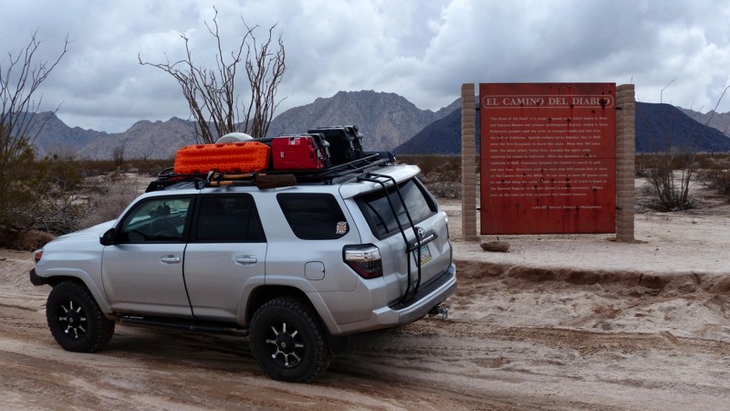
El Camino del Diablo Este
Wellton, Arizona
El Camino Del Diablo, translated as the Devils Highway, is a prehistoric trading route that once linked central Mexico with the Colorado River. The route crossed broad swathes of the desert by linking the area's few semi-reliable water sources. Today the northwestern portion of the ancient trail lies in Arizona just above the border with Mexico and inside both a restricted military training area, the Bary M. Goldwater Range, and the Cabeza Prieta National Wildlife Refuge. Visting the area requires a permit. Expect to interact with the Border Patrol. They are valuable information sources when treated respectfully. Use caution for unexploded military ordinance and smugglers.
El Camion del Diablo splits into Oest and Este (West and East) at the eastern end of the Tinajas Altus Pass. El Camino del Diablo Este travels north along the eastern side of the Tinajas Altas and Gila Mountain Ranges to Interstate 8 and the present-day town of Wellton.
Updated: 10/15/2024
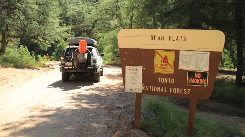
Bear Flat
Kohls Ranch, Arizona
Set in the vast Tonto National Forest, Bear Flat is an out and back that leads to the Bear Flats hiking trailhead on the edge of the very rugged Hellsgate Wilderness Area. The descent into Bear Flat is a steep winding shelf road that offers ample opportunities for glimpses into the wilderness area. The switchback turns are so abrupt and narrow that the Forest Service has installed mirrors to help drivers see traffic coming the other way. There are several dispersed campsites set in the pine forest alongside the trail.
Updated: 05/02/2025
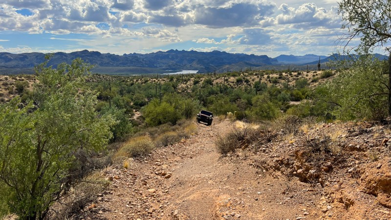
Rolls 1345
Tortilla Flat, Arizona
Trail 1345 checks the box on why people come out to the Rolls OHV area, including rocky hill descents, great views of Saguaro Lake, an aggressive hill climb, and a trail less traveled. The trail begins and ends with junctions from trail 1829. Combined, these two create a nice loop around the Eastern edge of the Rolls OHV area. One small camping spot on the Northern end has sweeping views of Saguaro Lake below. It is right on the trail and has room for one vehicle. This entire trail is loose rock, with a very small section of sand. Running 4Low is recommended as you descend from the high ridgeline to the wash. Once in the wash, you will find a trail marker for trail 3431 that branches off to the right. 3431 will take you to the lake. To continue 1345, you must turn left and head up a rocky hill. The left turn for 1345 is not marked, but the GPX track will keep you on the trail. The trail ends when it connects back to 1829. A trail marker indicates this intersection.
Please note that an OHV permit is now required on this trail.
Updated: 10/15/2024
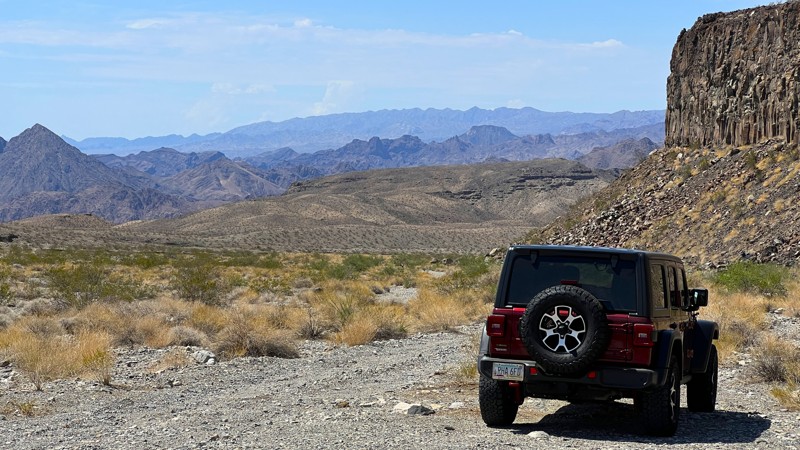
Cranes Nest Road
Willow Beach, Arizona
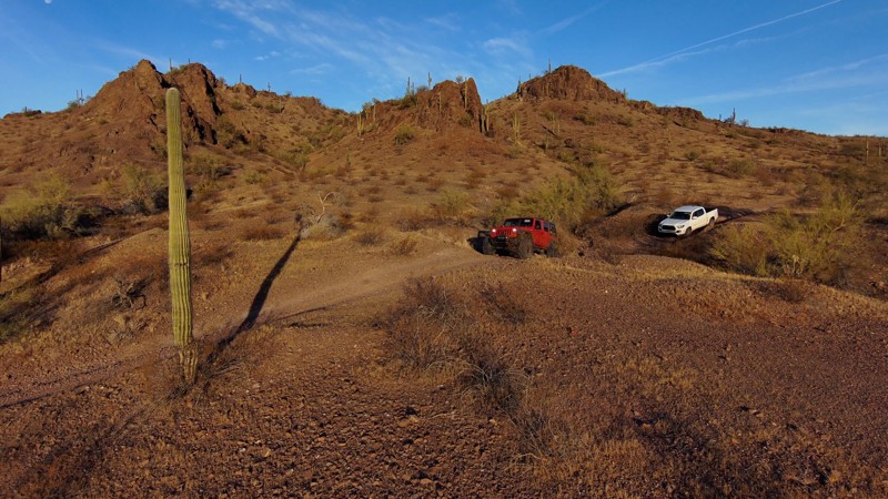
Cranes Nest Road begins right off of US 93 and falls within the Lake Mead National Recreation Area. There is no fee or permit needed to run this trail. The deep sand and gravel mix trail will take you close to the Colorado River. The vehicle trail stops 0.4 miles from the river due to boulders in the wash, but you can hike the remaining distance. There is a designated camping location just before the end of the vehicle trail. The trail can be run in 2WD; however, having 4WD is recommended as the sand gets deeper further into the trail.
Updated: 03/06/2023
Saddle Potholes
Arlington, Arizona
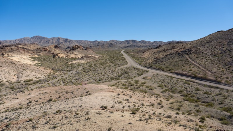
Driving up and over the impressive and saguaro-filled Gila Bend Mountains, the landscape turns sparse and barren. In this naked landscape resides Saddle Potholes which is a rock formation along an unnamed wash that naturally collects water. Some time ago, a small dam was constructed to increase the water collection for grazing and homesteaders. This dam remains today, and this off-road trail will make for an excellent trail to include for a day-long trip or a multi-day overlanding trip.
Updated: 10/15/2024
Cottonwood Cove East
Grasshopper Junction, Arizona
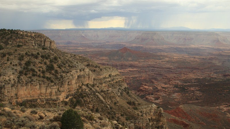
Located near Dolan Springs and cutting through the Black Mountains to Lake Mohave, Cottonwood Cove East is an out-and-back dirt road providing access to many spur roads with abundant recreational opportunities. The road begins as Cottonwood Road at Highway 93 and travels east into the Black Mountains, ascending to 3,800 feet. The road is a 5-vehicle-wide gravel road into the mountains and well-maintained. As it descends nearly 3,500 feet and enters the Lake Mead National Recreational Area, Cottonwood remains a graded road with occasional washboard sections to its terminus on a peninsula between the Colorado River and Arizona Bay. Several magnificent campsites at the end of the road vary in size from a single vehicle to several vehicles or even trailers. The drive offers incredible views of Lake Mohave, the Black Mountains, El Dorado Mountains, the Newberry Mountains, and tons of desert flora.
Cottonwood Cove East passes many spur roads, such as Pot Cove, Carp Cove, Willow Tree, and Restoration Point. These spur trails lead to great camping and river/lake access points for water sports. A bathroom and trash receptacles are located along Pot Cove Road but nowhere else along the route. Users must pack out everything they pack in. Although this road is within the Lake Mead National Recreation Area fee area, there are no entrance stations along the way to obtain a pass.
This road is suitable for any vehicle in dry conditions but is prone to washouts after heavy rains, and 4WD is recommended during potential adverse weather.
Updated: 10/15/2024
Sowats Point
Ryan, Arizona
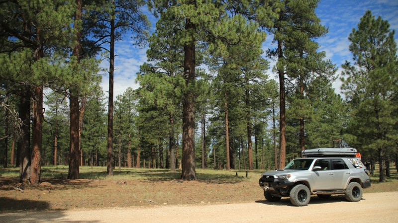
Sowats Point is likely the most boring trail that leads to the most unexpected view. The effects of the 2006 Sowats Wildfire are still evident. The trail passes through an unimpressive growth of random small bushes and stunted junipers. While not difficult, the track is annoyingly bumpy. The few campsites along the way are uninspiring. The Jump Up - Nail hiking trailhead looks like it hasn't seen any action in quite a while. Then you take a left at the Y intersection towards a small hill. Angels begin to sing because this view western reaches of the Grand Canyon is completely and unexpectedly breathtaking.
A right at the Y intersection takes you to a game water collection site.
Updated: 10/15/2024
Wallace
Whitted Place, Arizona
Wallace runs through the beautiful Sitgreaves National Forest. Portions of the trail are park-like, with tall Ponderosa pines shading the forest floor. To the north, the pines give way to juniper studded grasslands. There are numerous large shaded dispersed campsites scattered along the trail. Most will support multiple rigs of any size, tent camping, and hammocks.
After exiting Sitgreaves National Forest, the road becomes Highway 87 to Winslow, providing a nice northern entry into the beautiful Mogollon Rim country of central Arizona.
Updated: 06/05/2022
Billy Mack Wash
Parker, Arizona
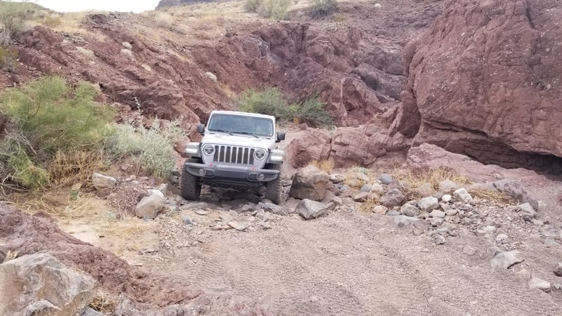
Heading out to the desert bar in Parker, Arizona, and tired of the traffic? How about an alternate route that is a little more fun and way less traveled? Bill Mack Mine Wash aka Grey Eagle Mine Wash is a wash that parallels the road to the desert bar making for a nicer drive as well as providing a couple of obstacles to keep things interesting. So if you are bored of the civic in front of you going slow, make the turn and enjoy a little fresh air along this cool little route.
Updated: 03/02/2024
Polaris
Quartzsite, Arizona
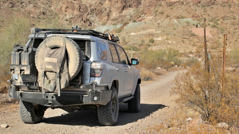
The southwestern Arizona mining camp of Polaris sprung up in the early 1900s to support the large North Star Mine. By June 1909, the town had its own post office and a peak population of nearly 2,000. The North Star Mine had two primary shafts tracking quarts veins rich in gold ore. The mine operated its own stamp mills to process the ore and used cyanide to extract the gold from the crushed ore. By 1914 the mine had slowed its operations, the town shrank, and the post office was discontinued. Today one lone building stands where the town once was, and the impressive remnants of the mine loom up the mountainside. The mine is on private property, but visitation is allowed. Always be careful around old mines. Look up and to the right of the mine along the ridgeline and see if you can spot the natural arch.
Updated: 06/29/2026
FR 228
Flagstaff, Arizona
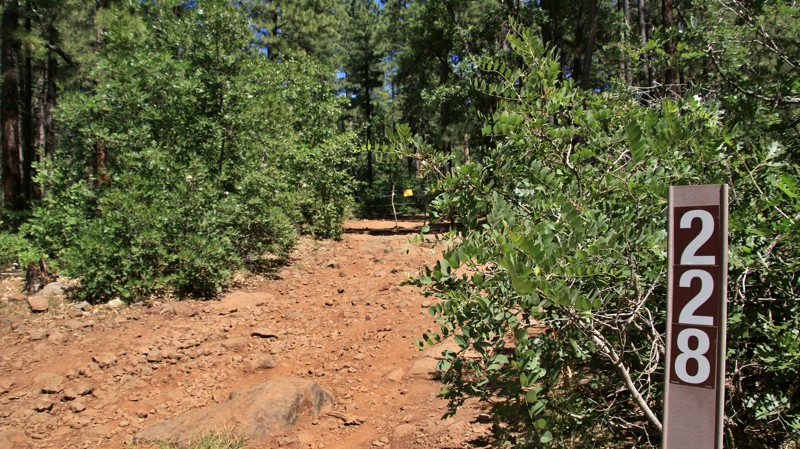
Growing up, everyone had a friend that was a bit short, rugged, rough and tumble, not that great to look at, but fun to be around. If that friend was a trail, he'd be FR 228. Beginning near the beautiful Casner Park, the trail immediately takes you into the belly of the Coconino Forest. That means pine trees, cattle tanks, rocky roads, and drift fences in the middle of nowhere. You aren't that far from civilization, but as Jeremiah Johnson famously said, it "feels like far." You'd be no more surprised to see a grizzled cowboy on his horse with his cattle dog trailing along behind than an OHV coming around the next curve with the sound system cranking a billion decibels. The past and the present aren't that far apart in this land. Go see what you can find on this short, rugged trail.
Updated: 05/20/2026
Superstition Turk's Head
Gold Canyon, Arizona
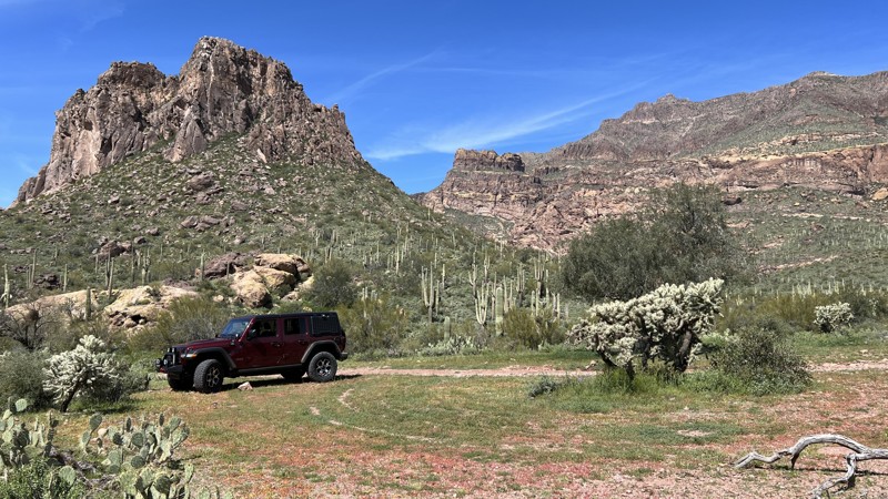
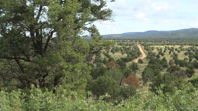
Superstition Turk’s Head Trail is a rocky out-and-back trail that ends close to the Superstition Wilderness Area. Most of the trail is moderately difficult, with tight corners, overreaching brush, and loose rock. The difficult rating comes from the final two hill climbs.
Camping is available at the north end on the high rocky hilltop. A large flat campsite, shown in the camping picture, is available without making the final hill climbs.
This area is Arizona State Trust Land. A recreational permit is required.
Updated: 10/15/2024
Jacob Canyon Trail
Ryan, Arizona
Jacob Canyon Trail runs through a pinion juniper forest from West Side Ryan, FR-22, to Highway 89A. To the north are great views of the Grand Escalante Staircase. To the south rises the Kaibab Plateau. The trail alternates between Forest Service, BLM, and private land. There are several campsites along the southwestern end of the trail. The road is generally easy, with numerous mud holes and washouts. 2WD usually is adequate for this trail.
Updated: 06/05/2022
Virgin River Ruins
Beaver Dam, Arizona
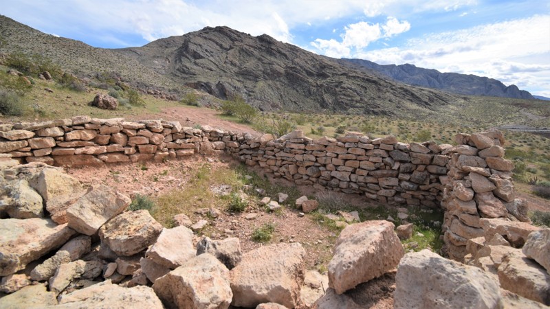
Take a trip back in time to witness how old stone structures were built by the early settlers. This scenic out and back trail leads you to the mouth of the Virgin River Gorge, where you'll find three rock houses that still have some of the original walls still standing. You'll park on a cliff face with a view of the highway traffic and the Virgin River below. There's not any published information to be found on the structures but that only adds to the mystery and experience of visiting this unique location.
Updated: 10/15/2024
Childs Powerline Road
Strawberry, Arizona
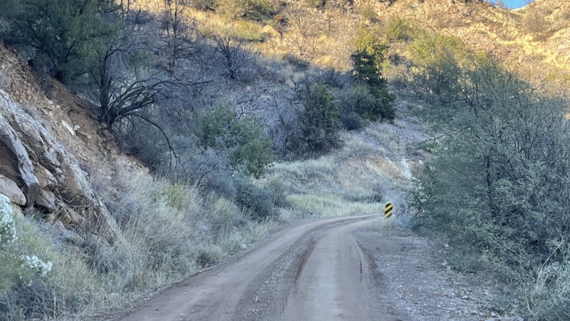
Not your typical powerline road, Childs runs from Fossil Creek through the Tonto National Forest ending above the wild Verde River near the Childs Power Plant. The scenic trail has great views as it drops into the Verde's valley. The Verde Hot Springs is only a short hike from the camping area at the end of the road. The hot springs were once part of a resort. You do have to wade or swim across the river. The hot springs are popular on the weekends. The trail's end is gated and closed just before the power plant. There is no wheeled river access.
A dispersed camping area with five spots is near the end of the road.
Updated: 09/19/2026
East Side Game Road
Jacob Lake, Arizona
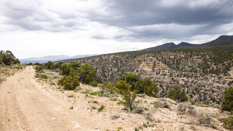
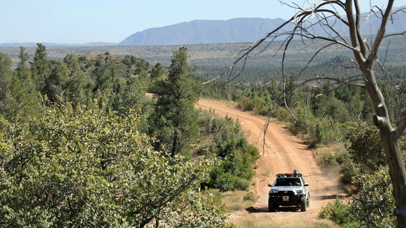
East Side Game Road is a picturesque track connecting Tater Ridge FS 213 and Buffalo Ranch Road. The trail provides a convenient offroad shortcut from the Grand Canyon's North Rim to or from Highway 89A via the eastern slope of the Kaibab Plateau. The shortcut saves you from traveling more than 40 extra miles, offering a significant advantage in distance and perhaps time. Spanning approximately 8.3 miles, the elevation gradually decreases from 7400 feet to 5500 feet going east. The track traverses diverse landscapes, transitioning from verdant meadows and dense alpine pine forests to the expansive open grasslands of the high desert.
The trail is narrow in hilly sections but progressively widens in the lower section. A section of shelf road along the edge of a drop of several hundred feet. While 2WD vehicles with standard clearance can easily navigate this route from west to east, off-road tires are highly recommended due to the rocky terrain encountered in the hilly areas. However, traveling from east to west requires 4WD due to loose rocks, and steep inclines, all exacerbated in unfavorable weather conditions.
While the trail's western end offers several camping spots, the area's most remarkable camping is on the eastern end of Buffalo Ranch Road, with an awe-inspiring 360-degree view of the Grand Canyon.
Updated: 06/05/2022
Excursion Mine Road
Payson, Arizona
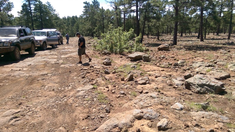
Excursion Mine is one of a small cluster of gold mines that sprung up southwest of Payson in the early 1900s. It is among the few of those mines that still reside on private land, most having been absorbed into the nearly 2.9 million acres of the Tonto National Forest. While you can't visit the mine, you can certainly drive the tidy little road it spawned. Excursion Mine Road provides great views of the rugged and nearly impenetrable Mazatzal Mountain Range to the west as it winds through the classic high country chaparral of the Tonto National Forest. Cattle graze alongside deer and elk. Juniper, pinion pines, agave, and yucca line the trail. The 2004 Willow Fire burned hotly along the western side of the southern portion of the trail. Before the fire, Excursion Mine Road ended on Rye Cypress, the same trail on which it begins. However, the fire resulted in erosion, and the trail was rerouted to end on FR 1548, a fact most maps have yet to capture. Today, the junipers lead the charge to restore the burned area, and the fire's scars are fading away, just as the roadway did.
Updated: 09/09/2023
Muddy Rocky Road
Kachina Village, Arizona
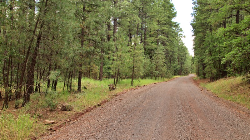
Muddy Rocky Road is named such because it has muddy washes to the west, and is full of rocks in the middle. It's full of beautiful forest landscapes, and volcanic rockscapes. It's useful as a way to get from East Pocket Road into the deeper western portions of Coconino National Forest.
Updated: 10/15/2024
Bill Williams Loop
Williams, Arizona
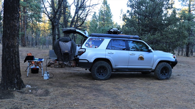
Bill Williams Loop forms a large C around the western slopes of Bill Williams Mountain in the Kaibab National Forest. There is camping galore along the southern end of the easy graveled road, and many other campsites dotted along the rest of the way. The views of Bill Williams Mountain from Jackass Flats make you want to set up camp and just stare. Coleman Lake, a large marshy prairie, seems out of place in the pine forest. The northern end of the road passes through private property and lower elevation pinion and juniper forests before ending on Interstate 40.
Updated: 06/05/2022
FR 616
Payson, Arizona
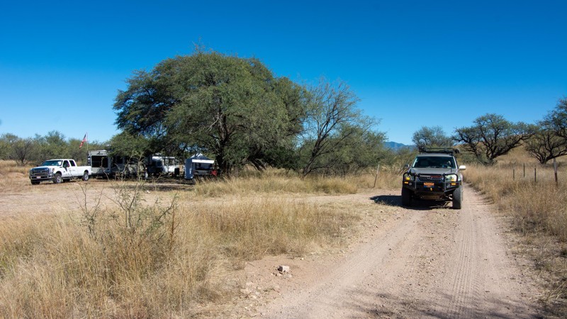
In 1936 the Civilian Conservation Corps (CCC) established a work camp above Pivot Rock Canyon. Company 863, mostly young men from back east, spent summers there building roads, fire lookout towers, and numerous other construction projects. They also helped fight forest fires. CCC volunteers were paid $30 per month, but $25 of that had to be sent back home to support their families. This was, of course, during the Great Depression of the 1930s. The Pivot Rock camp was abandoned in 1941 as World War II loomed and manpower was needed elsewhere. The remnants of the camp, a few concrete foundations and slabs, still sit beside FR 616. Now, just as then, FR 616 is all about camping. The easily traveled trail, which largely parallels Pivot Rock Canyon, is dotted with campsites large and small. The old CCC camp is a favorite, and most summer weekends find plenty of RVs and toy haulers scattered in the wide-open areas under the towering Ponderosa pines. Many campsites are perched above Pivot Rock Canyon, which is named after a unique rock formation at the canyon bottom. The campsites of FR 616 are a great jumping-off point for exploring the vast and beautiful Coconino National Forest. The higher elevation makes this a great area for escaping the summer desert heat below.
Updated: 10/15/2024
Oak Tree Canyon
Greaterville, Arizona
Oak Tree Canyon is on the historic Empire Ranch, now known as the Las Cienegas National Conservation area. This track is labeled as the East Empire Ranch Road on topo maps. The Oak Tree Canyon has the finest dispersed camping in the Sonoita area, with half a dozen easily accessible oak tree-shaded camp spots along a winding two-track road that leads nowhere. Oak Tree Canyon, in particular, has six places to set up camp, each of which sits along an unnamed meandering dry creek bed. The US Forest Service closed off the last portion of the road with a locked gate. Once upon a time, this road went all the way to AZ 83, but no longer. There are a few washouts and sandy wash crossings to negotiate.
Updated: 12/02/2025
Laguna Ridge
Kinter, Arizona
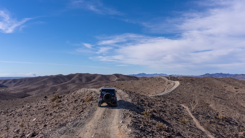
The Laguna Ridge Trail winds its way over the barren Laguna Mountain range, just Northeast of Yuma. It is a narrow trail that rides atop the ridgeline almost the entire way.
While it's not a complex or technical trail, the most challenging part is two-way traffic on the narrow trail with few turnouts. The trail is mostly gravel and loose rock, with a few spots having rocky outcrops. There are steep hills with loose gravel that require 4WD. There are several breakovers with limited to no visibility. Having a passenger to get out and look over those can be beneficial.
There aren't any camping options on this trail. However, there are several spur trails with flat spots for camping.
Updated: 10/15/2024
South Pecan Road
Picacho, Arizona
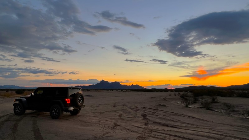
South Pecan Road is an old washed-out ranch road connecting the paved portion of South Pecan Road to Deep Well Ranch Road on the north. Many ranch remnants along the trail include corals, cattle tanks, and grazing areas. While on the map, this looks like a straight-line easy road, it is full of ruts and major washouts. The terrain is soft dirt and sand with major flooding potential during storms. Be extremely cautious of the water flow in this area. It is rated moderate due to the need to navigate washout areas.
There were no established camp spots along this trail, but multiple flat, open areas can accommodate many vehicles. The trail runs through Arizona State Trust Land and requires a permit.
You may encounter cattle in this area as it is leased grazing land.
Updated: 04/19/2024
Arva Caliente
Buckeye, Arizona
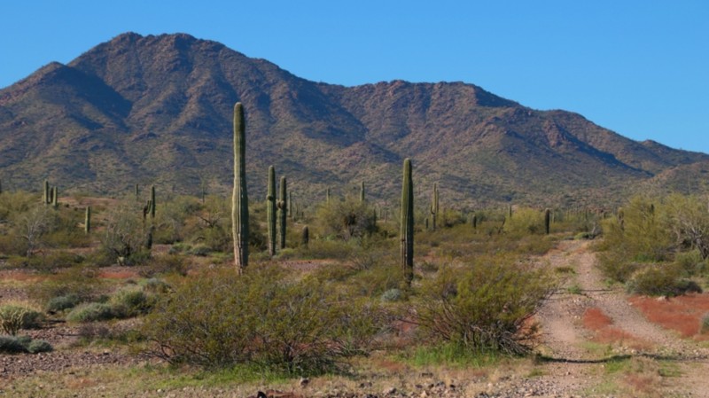
Arva is Latin for dry land. Caliente is Spanish for hot. Whoever named this trail may have mixed his languages, but the trail is interesting and beautiful in its way in any tongue. Beginning at the base of the pyramid-shaped Fourth of July Butte, the skinny two-track winds easily through a prototypical lower Sonoran desert landscape. First, crossing a sea of creosote bush, bur sage, and brittlebush, the desert evolves into a stately saguaro and ocotillo forest as the trail climbs steadily towards the looming Cortez Peak. The land may be dry, but it is lush enough to support grazing. Corrals and water tanks lay at the terminus of side roads. Lounging in the shade of mesquite and palo verde along the edge of a wash, cows raise their heads to watch as you trundle by. Arva Caliente ends at an adit, a horizontal mine shaft. It is one of several shafts cut into Cortez Peak and bears no name on maps of the area. Likely, the person who named the road in two languages came here to find gold. Today, we come seeking our own treasures: adventure, remoteness, and the view of a hot, dry land as seen from the end of this trail,

Upgrade your Membership
Unlock all of the details on every Trail Guide and Scout Route.
Start a 7-day Free TrialCommunity
Partners

