Region

Johnson Valley

California

Offroad Trails in Johnson Valley

A Region within California
4.9/5 (291)

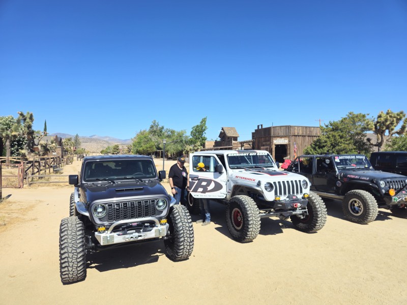
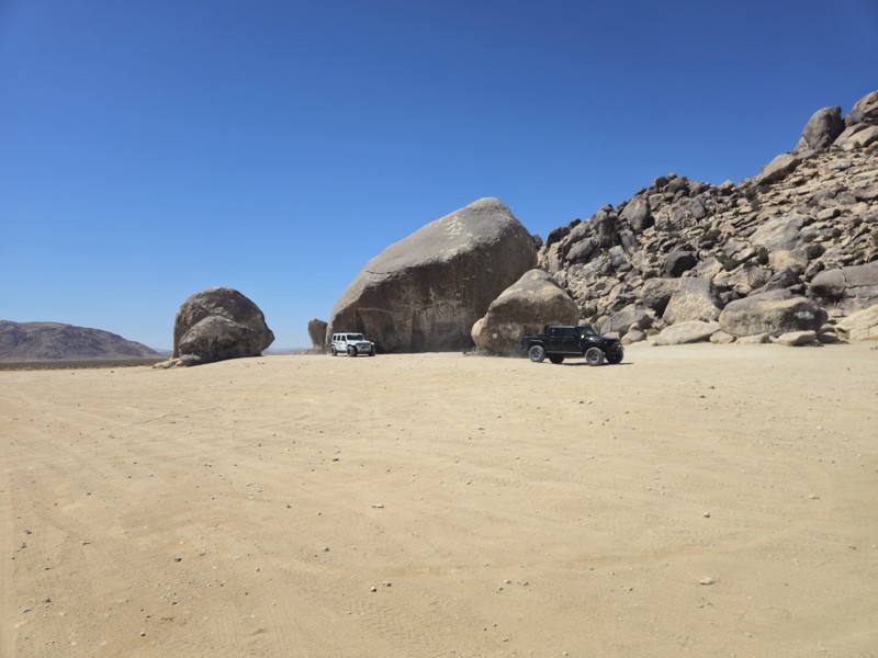
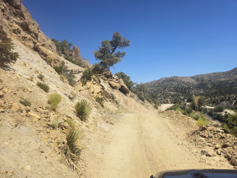
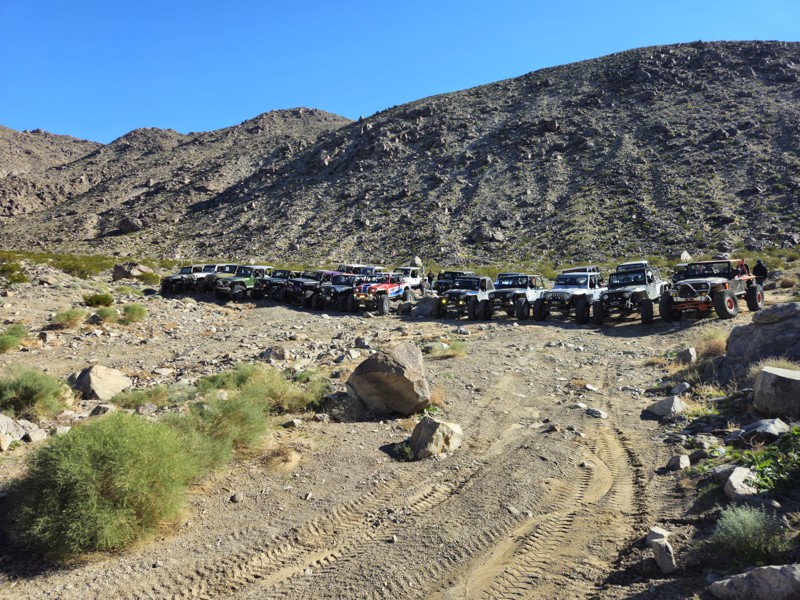
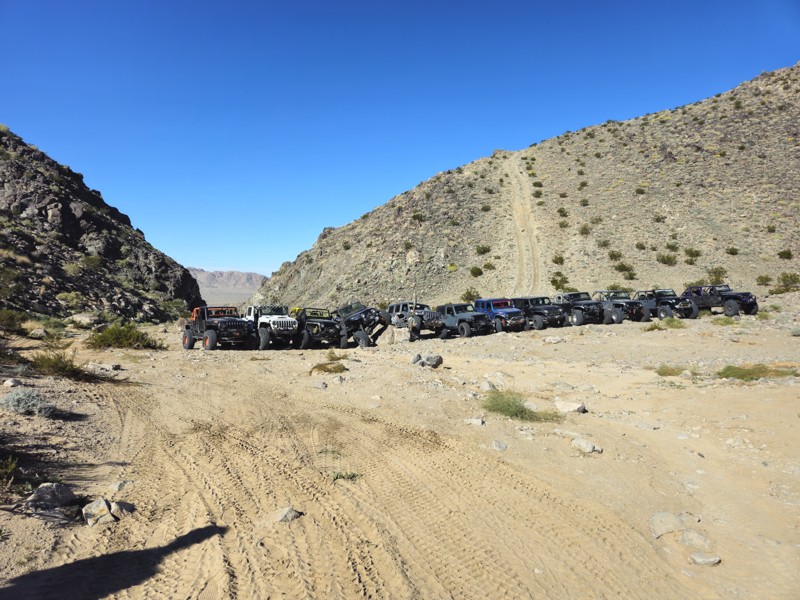
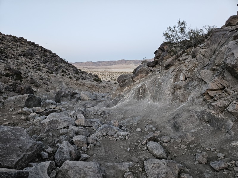
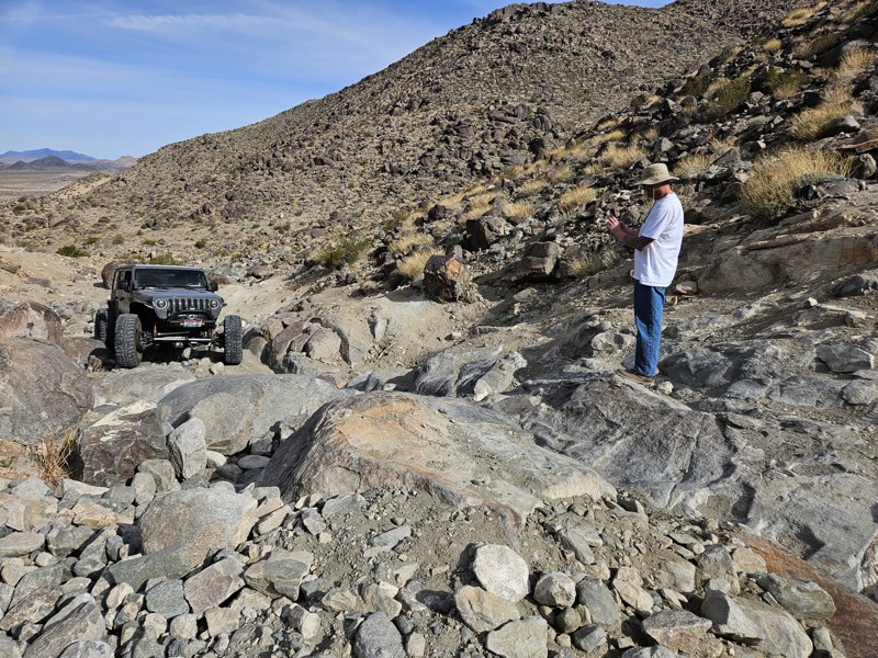
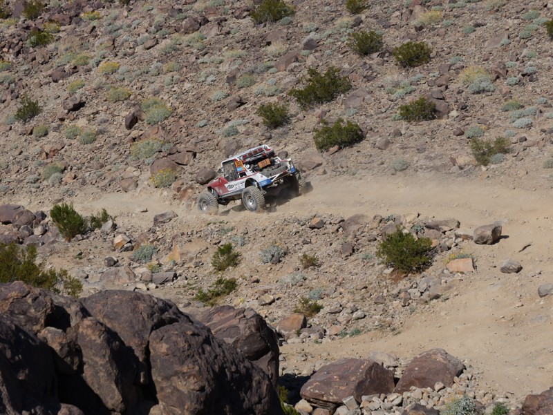
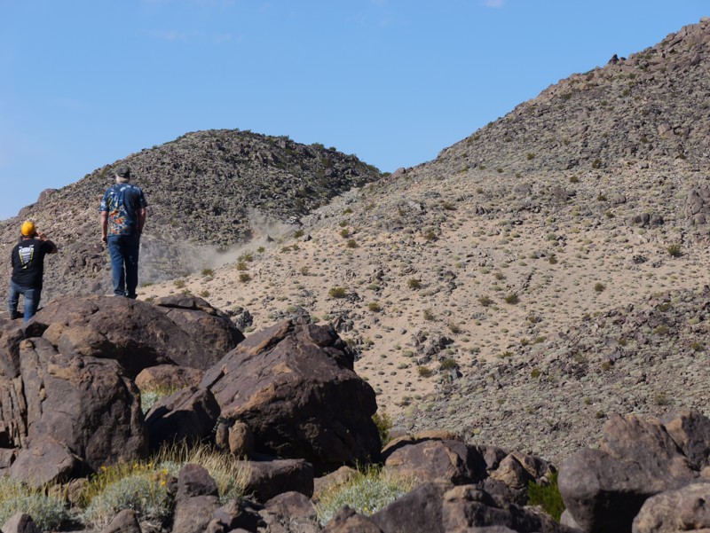
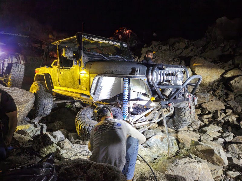
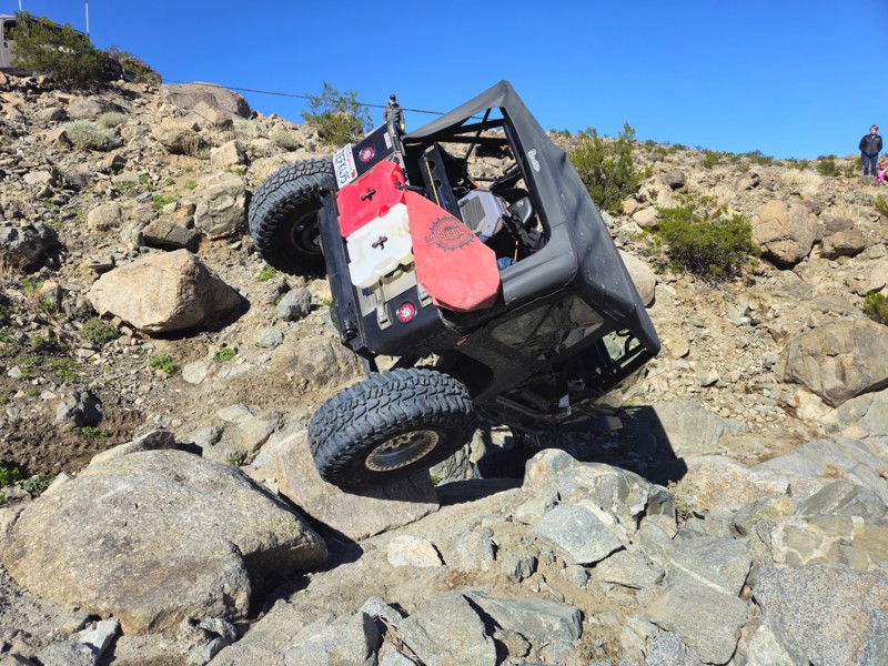
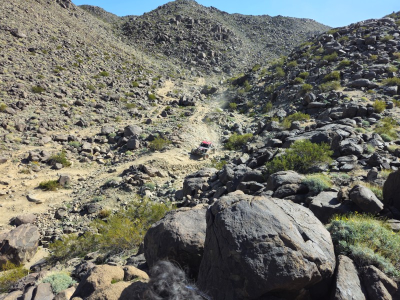
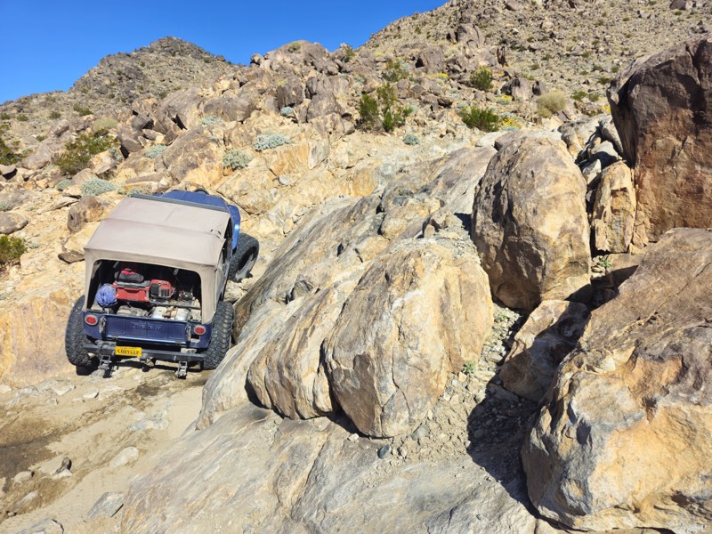
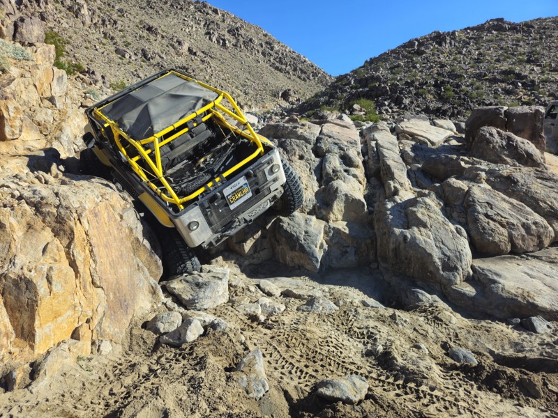
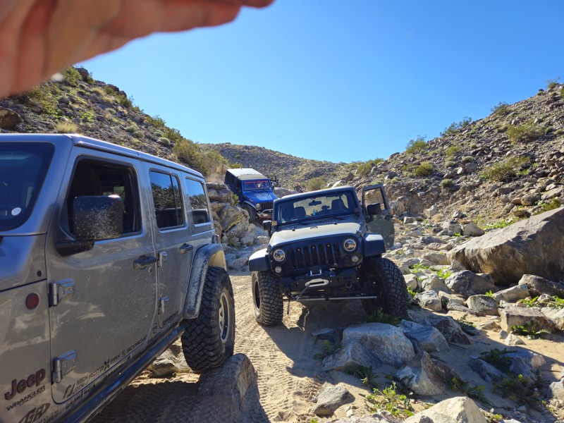
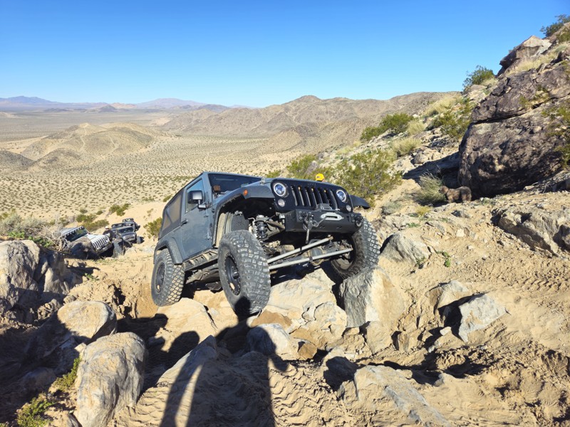
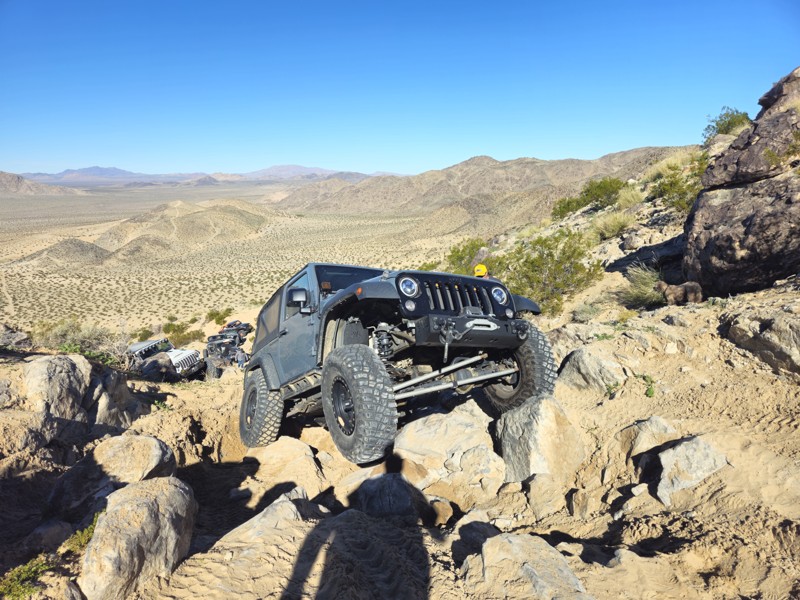
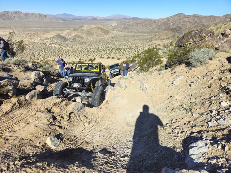
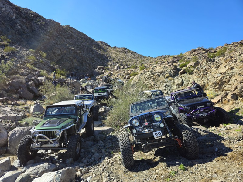
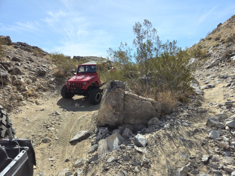
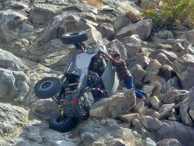
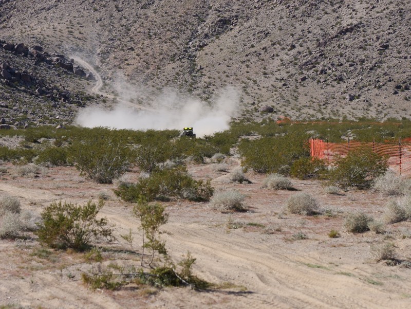
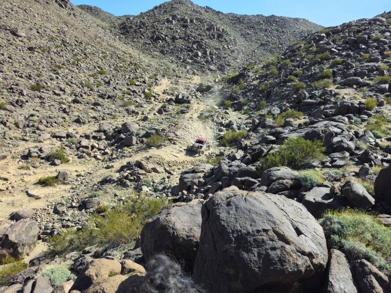
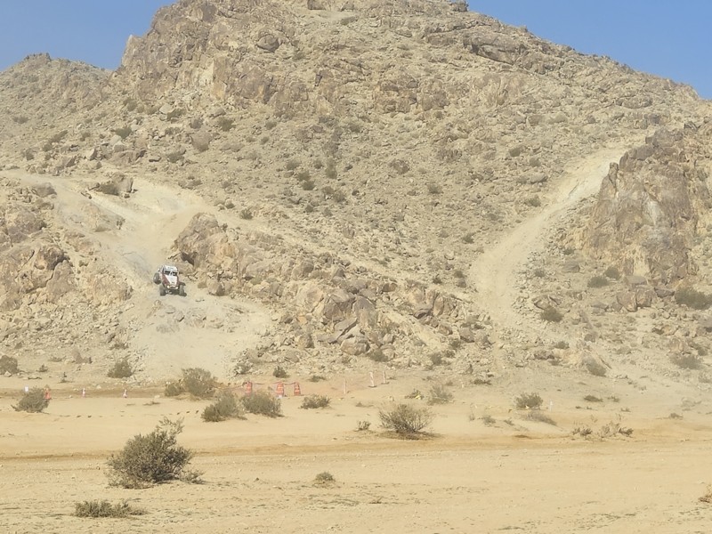
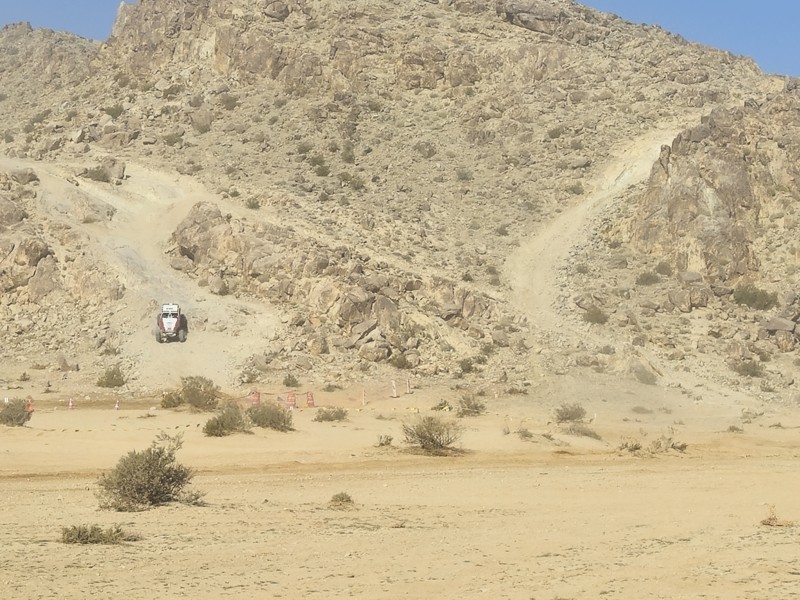
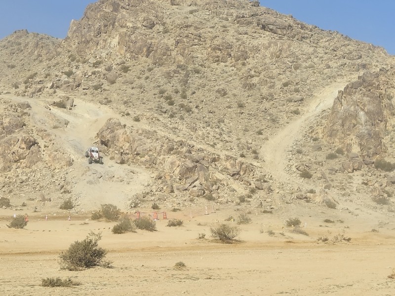
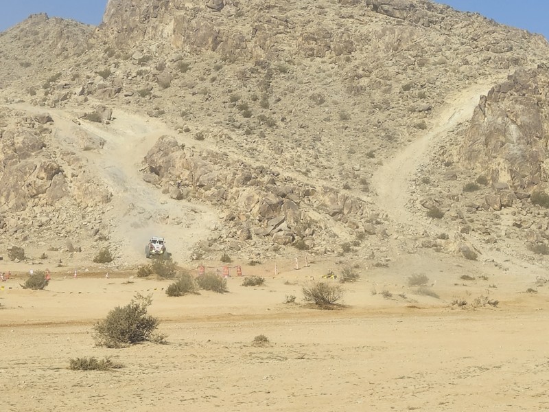
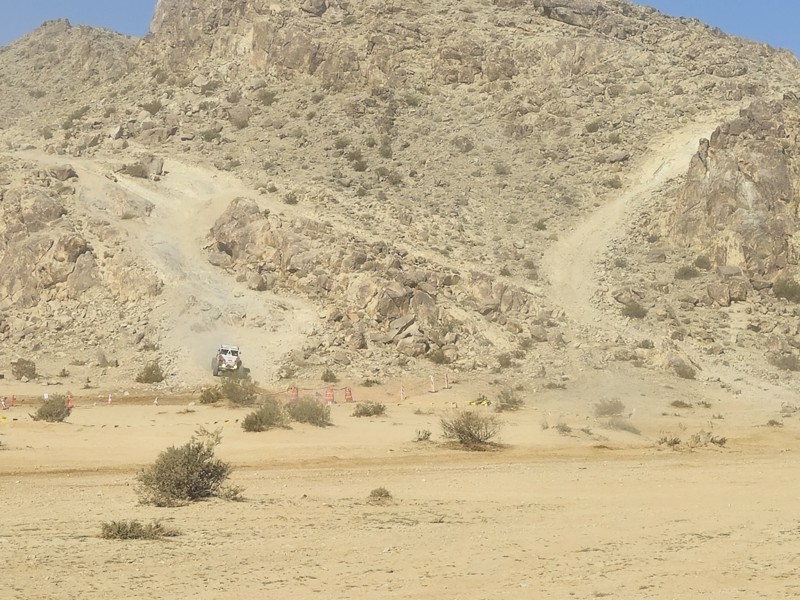
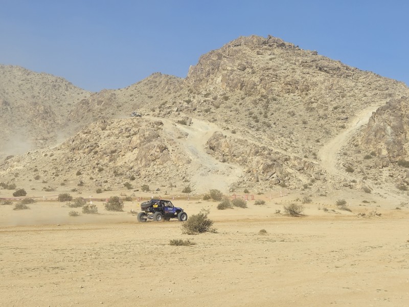
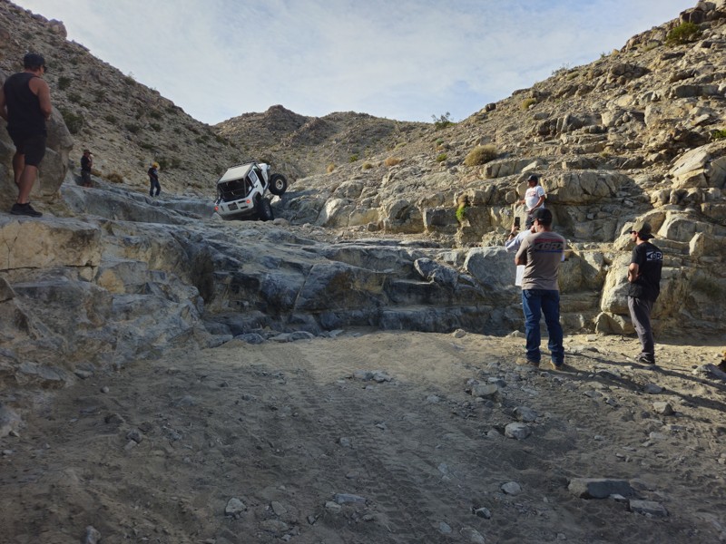
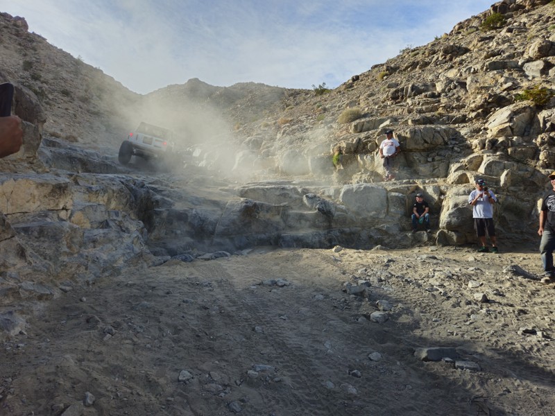
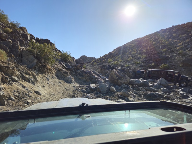
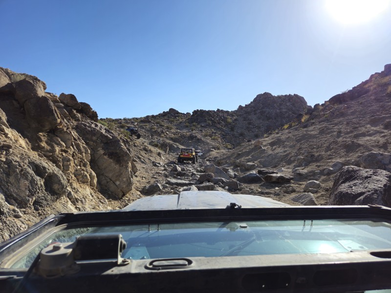
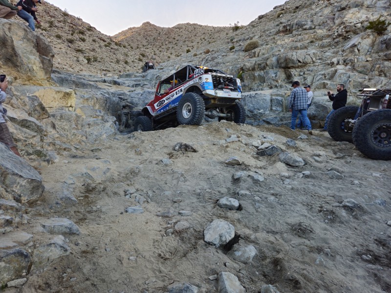
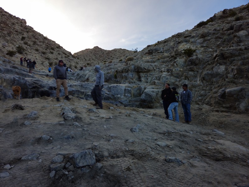
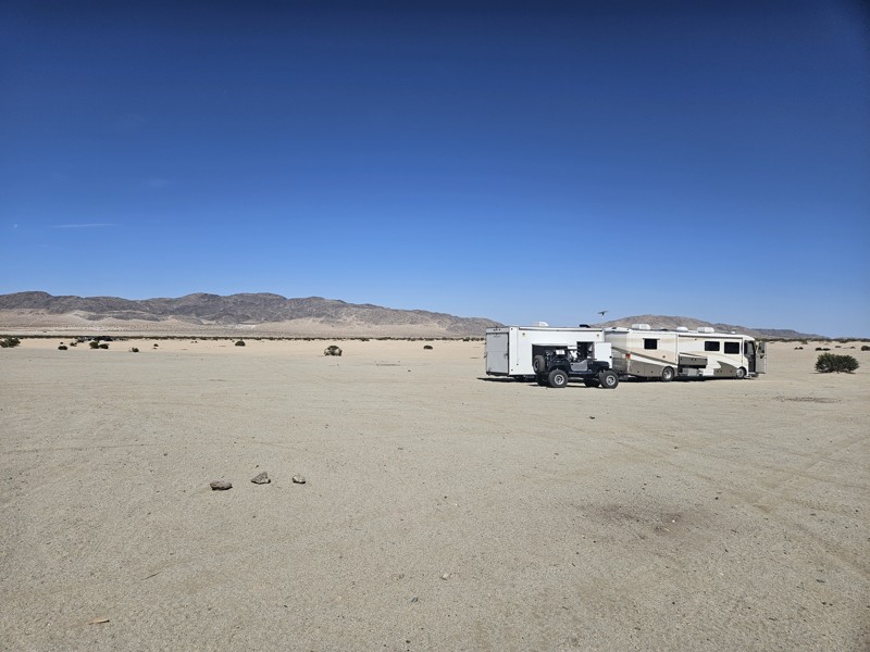
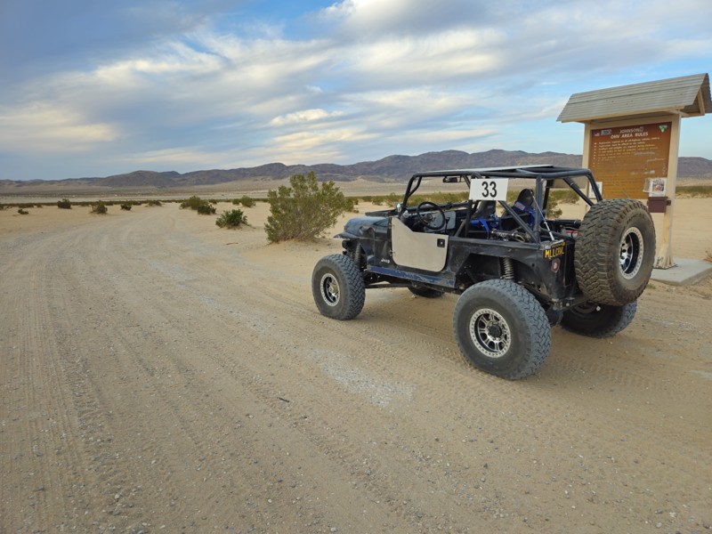
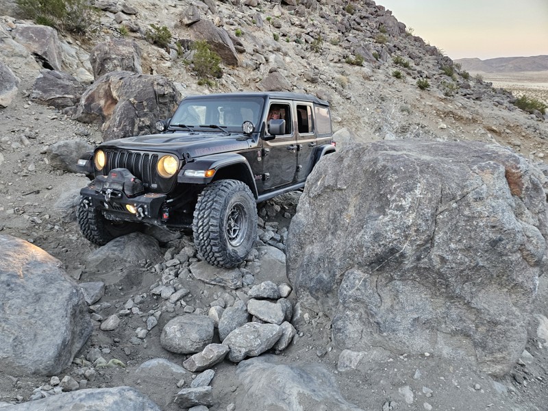
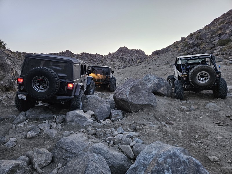
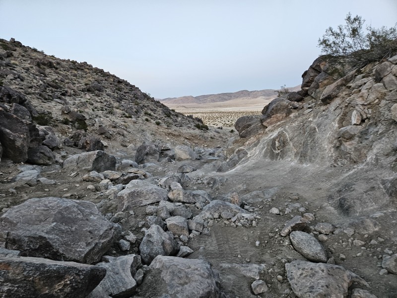
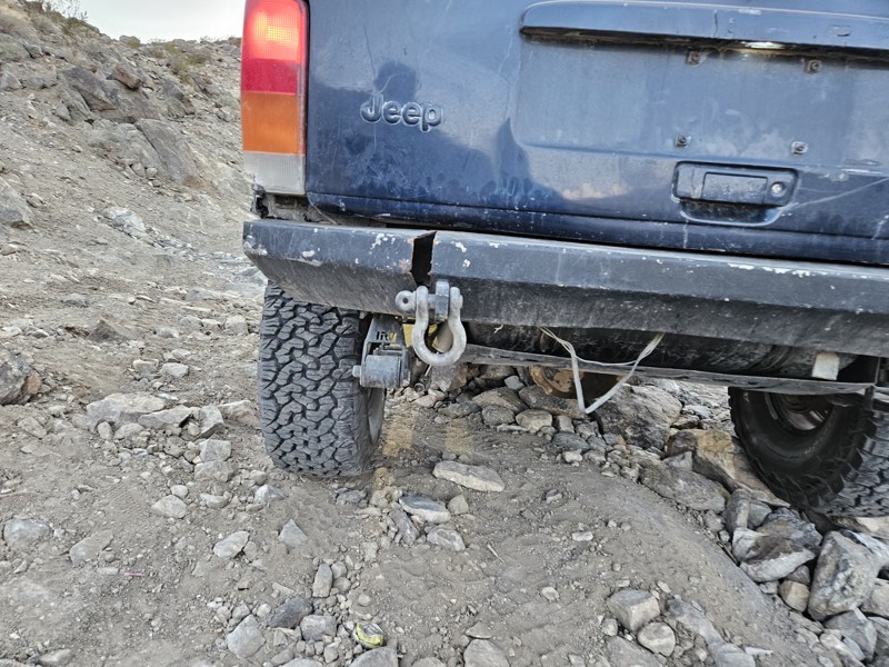
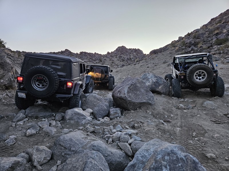
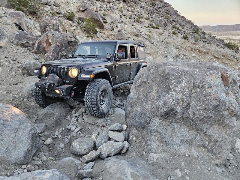
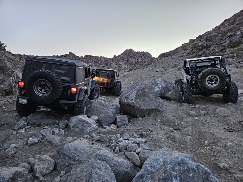
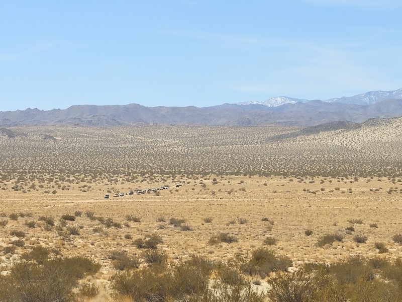
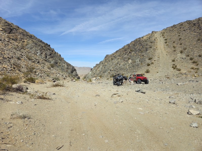
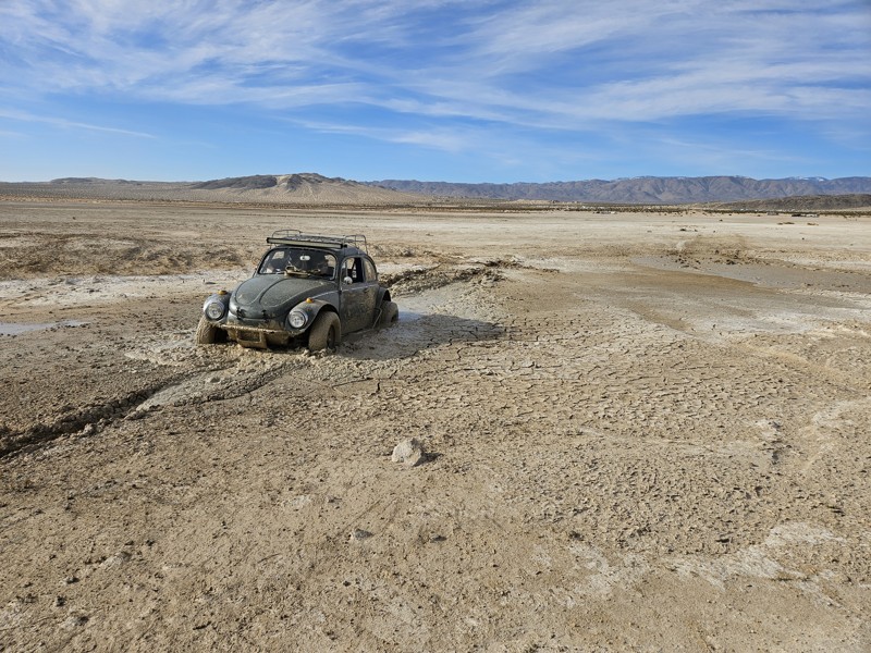
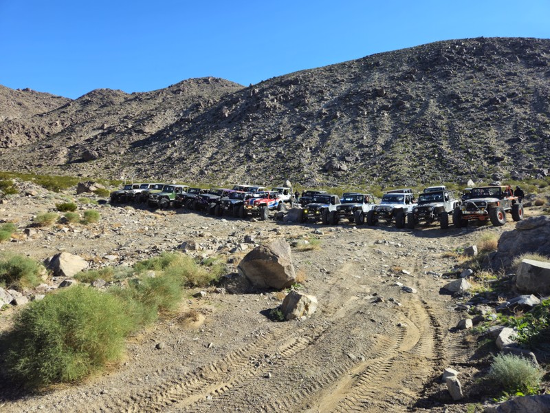
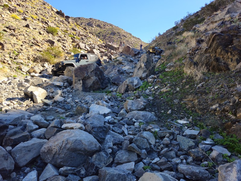
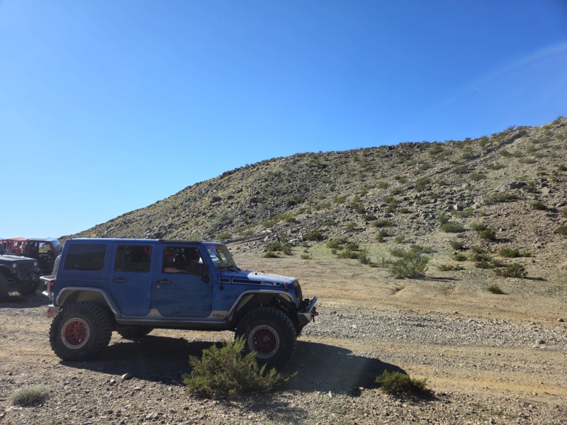
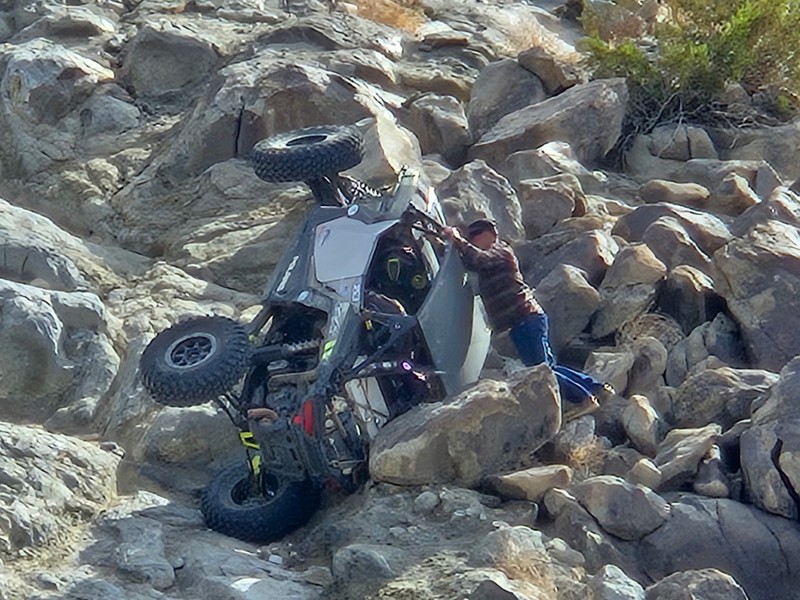
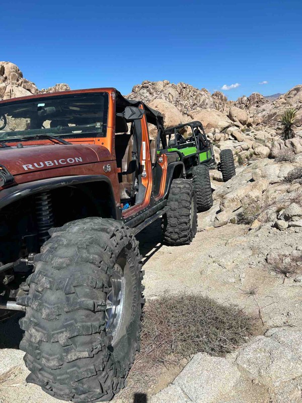
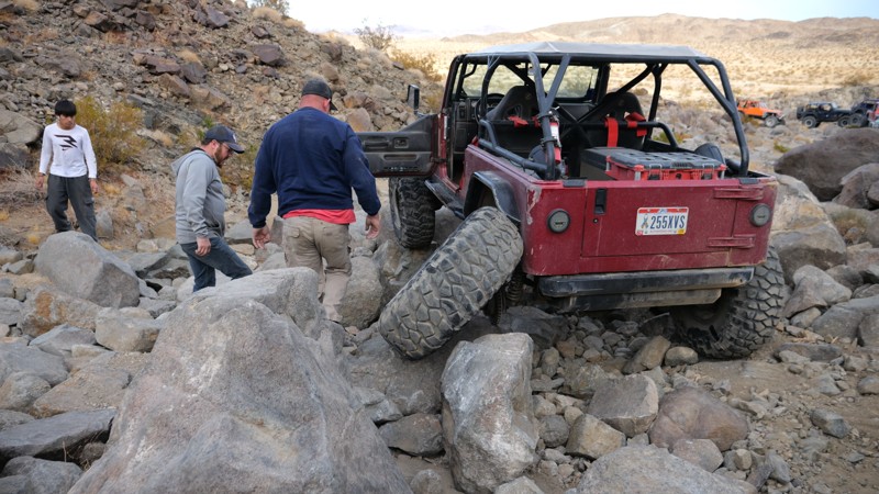
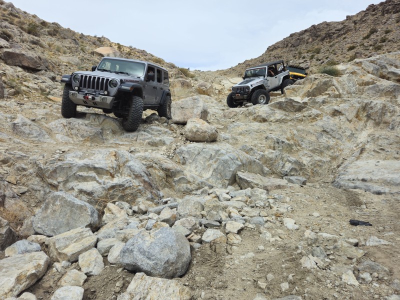
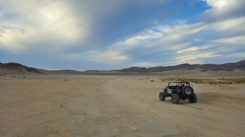
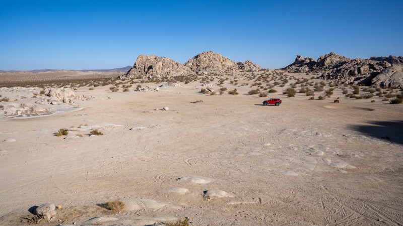
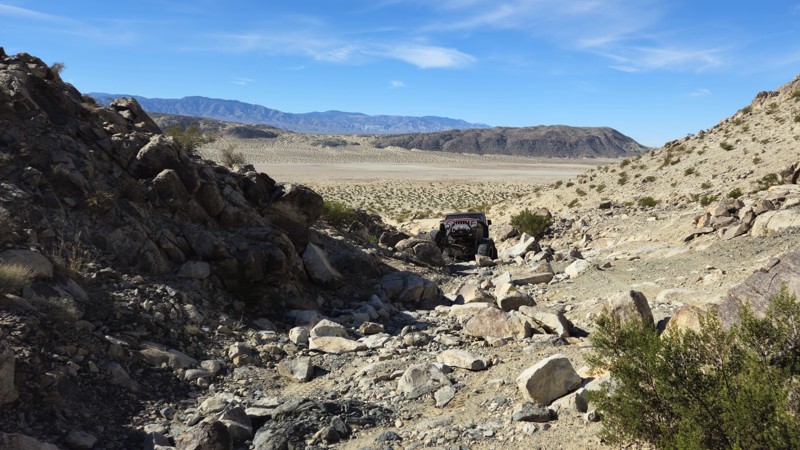
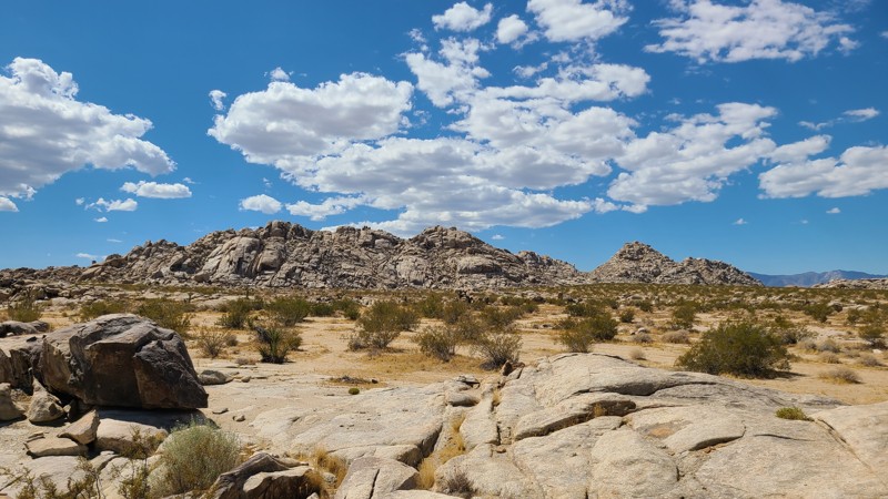
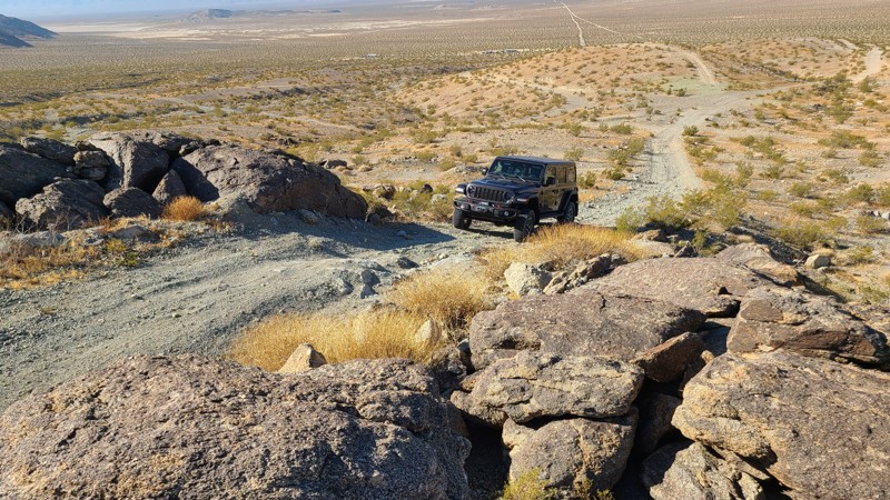
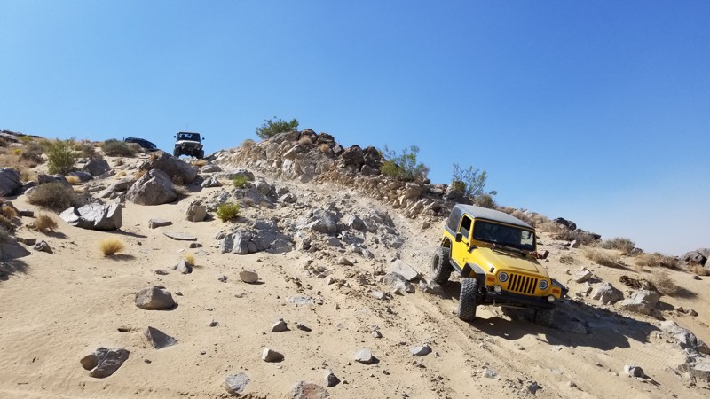
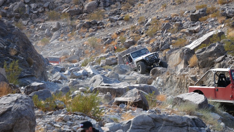
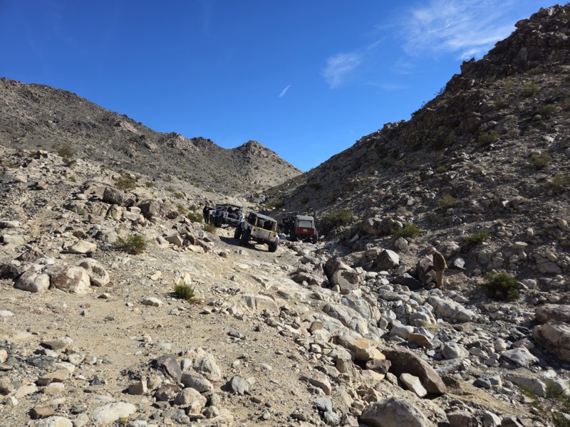
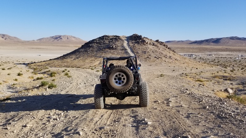
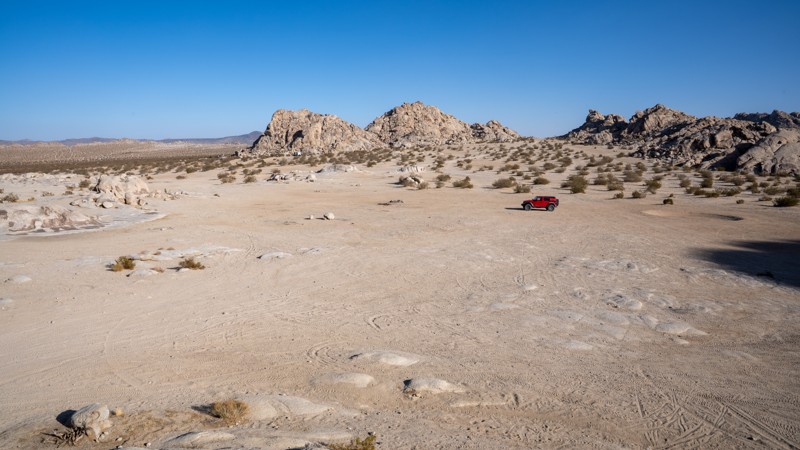
Johnson Valley OHV Area is a mecca for recreational offroading. Its infamous web of heartstopping trails are some of the most hardcore in the world. What makes the area so popular is its diversity of difficulty, which offers trails for every skill level and every OHV type. From punishing rock crawling to casual trail riding to high-speed desert running, Johnson Valley has it all.

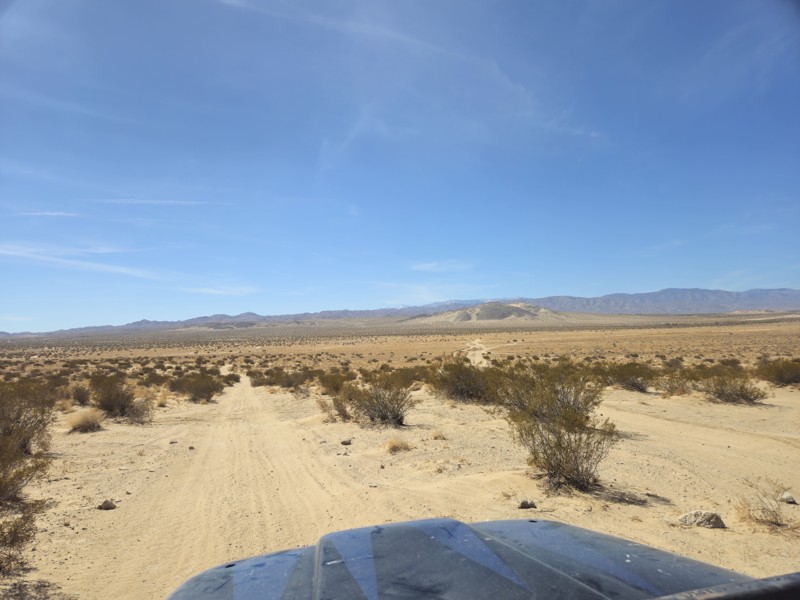
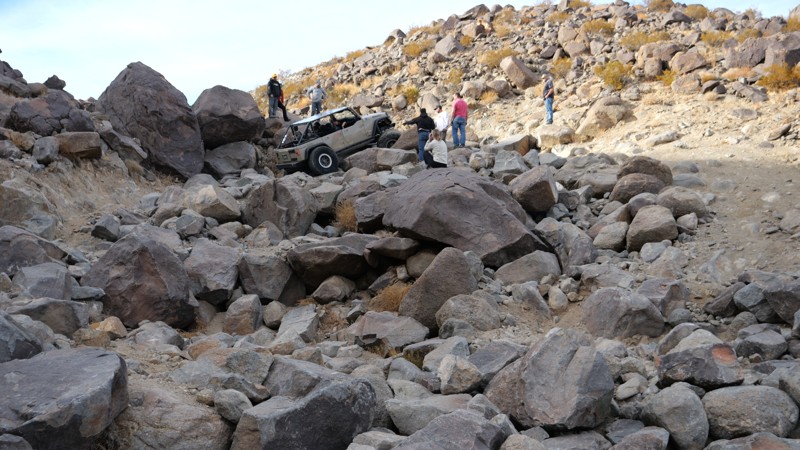
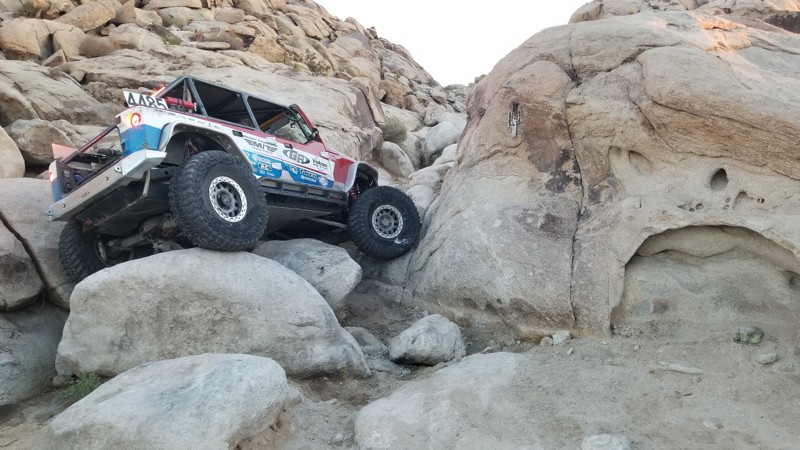
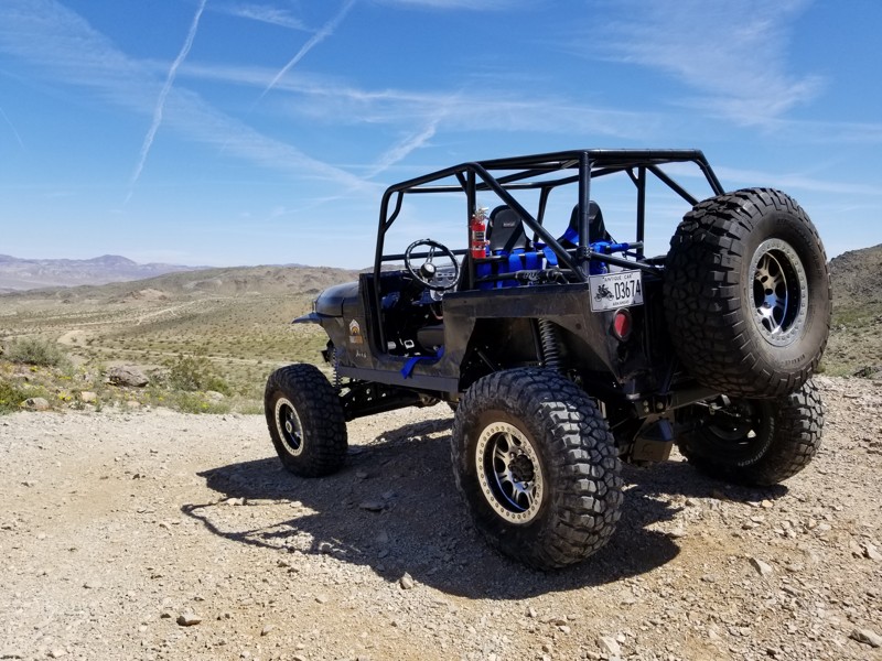
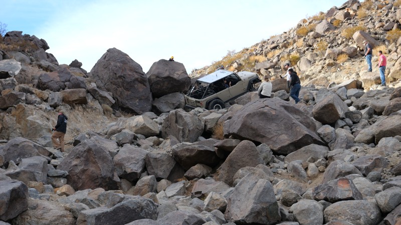
It might be most well known for the extreme rock crawling found in the mountainous area known as the "Hammers." But, for those in stock or lightly modified 4X4s, Johnson Valley is also home to plenty of intermediate and novice trails. Then, adding to the variety, miles of open desert roads surrounding the Hammers are perfect for those with a need for speed.

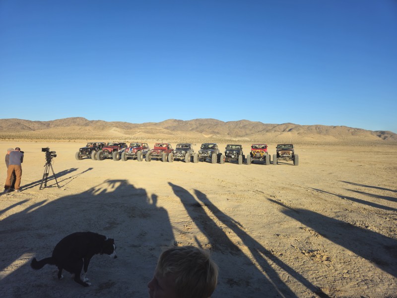
Johnson Valley OHV Area is shared land between BLM (Bureau of Land Management) and the adjacent Marine Corps Air Ground Combat Center of Twentynine Palms. Its history of rock crawling goes back to the early 1990s, when some of its most iconic trails, including Sledgehammer, Jackhammer, and Aftershock, were broken. Then, in 2007, the yearly King of the Hammers competition was founded, which exponentially grew Johnson Valley's popularity.

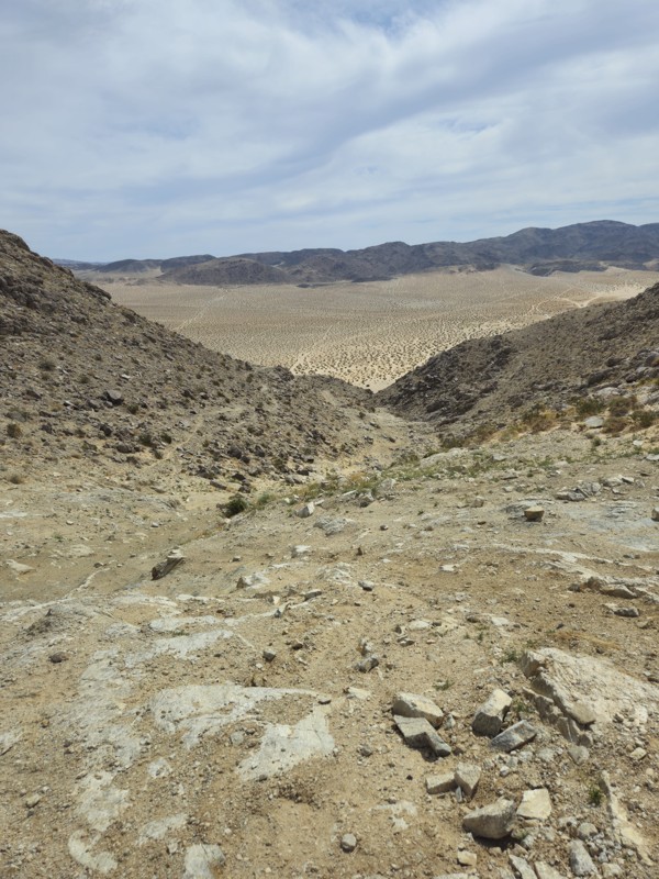
The harsh desert landscape brings with it extreme summer heat that consistently exceeds 100-degrees. It's not uncommon to see temperatures reaching 120-degrees in the mid to late summer months. High winds are also commonplace and overnight temperatures can dip below freezing in the winter, so keep these factors in mind when planning your trip out to Johnson Valley OHV Area.

Top Reasons to Explore Here

Basemaps
Go All-Access to Unlock


TRAILS OFFROAD™ TRAIL TYPES
Trail Guide
Full detailed write up with Advanced Rating System, Waypoints, Video, and more.
Scout Route
Lite version with highlights, camping, and hardest part documented. Vetted in person.
TRAIL DIFFICULTY RATINGS
easy (1-2)
Suitable for high clearance 2WD
moderate (3-4)
Best suited for a high clearance 4x4
difficult (5-6)
Best suited for a lightly modified 4x4
severe (7-8)
Best suited for a highly modified 4x4
extreme (9-10)
Best suited for specialized buggy type vehicles
LAYERS

Most Recent Trail Reviews

Most Popular

Search for Trails
California: Georges Crack Hero Photo
Scout Route Icon
5/5 (1 reviews)
Updated: 10/15/2024

Georges Crack

Lucerne Valley, California
Georges Crack is one of the hardest trails in Cougar Buttes. Near Noessers Nasty Notch, this trail is similar in difficulty but is much shorter since the obstacles are only in the first 30 feet of the trail. This trail is for the extreme rock crawlers looking to push their vehicles to the max. Body damage, breakage, and rollovers are common here. So are you crazy enough? The trail runs from north to south.
California: Guacamole Hero Photo
Scout Route Icon
5/5 (2 reviews)
Updated: 03/09/2026

Guacamole

Johnson Valley, California

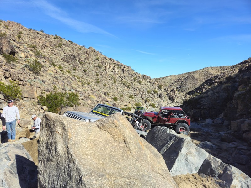
Guacamole is a straight-through rock-crawling trail just west of Means Dry Lake. This short but fun trail offers obstacles, waterfalls, and plenty of rocks to challenge even the most hardcore group. The main obstacle of the trail is on the southwest end, a boulder waterfall roughly 5 feet tall with a v-notch that can often destroy rocker panels and sometimes cause body damage. The trail is often combined with Resolution to create a longer route. Guacamole is an excellent trail for people looking to get their feet wet on the Johnson Valley Trails but want to avoid getting in over their heads. This trail is best suited for modified vehicles with larger tires, skid plate protection, and locking differentials.

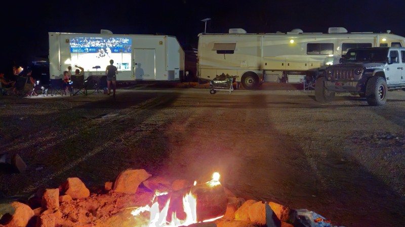
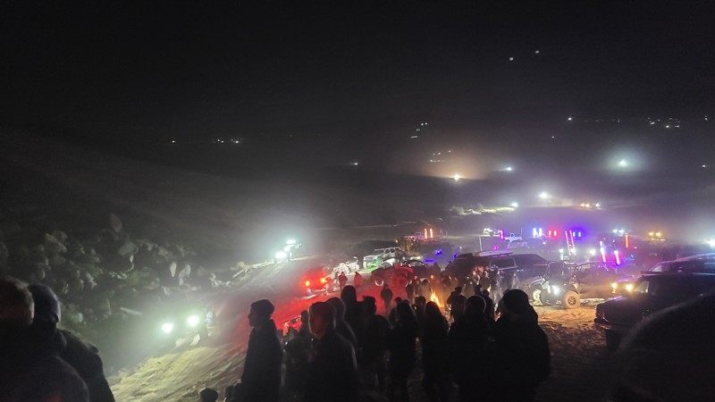
Although this trail does not host any suitable camping options, the northeastern trailhead offers plenty of open areas for people to hang out, camp, and watch the entertainment.

California: Solar Road Hero Photo
Scout Route Icon
4/5 (1 reviews)
Updated: 12/04/2025

Solar Road

Johnson Valley, California

Located within the Johnson Valley OHV Area, JV4228 is an east-west route, linking Soggy Dry Lake and Cougar Buttes, passing through beautiful, jumbled boulder formations. This sandy desert trail has no obstacles and would be enjoyed by new offroad explorers in a 2-wheel drive high clearance vehicle. Expect washboards and occasional exposed rock.

Dispersed camping is abundant along the trail and can be enjoyed when following the BLM Dispersed Camping Guidelines. Book docking in large RVs is common along the western end of the trail. Campfires may be prohibited, and it is the responsibility of campers to know and follow the current Campfire Restrictions.

California: Green Rock Mine Road Hero Photo
Scout Route Icon
5/5 (1 reviews)
Updated: 10/15/2024

Green Rock Mine Road

Johnson Valley, California

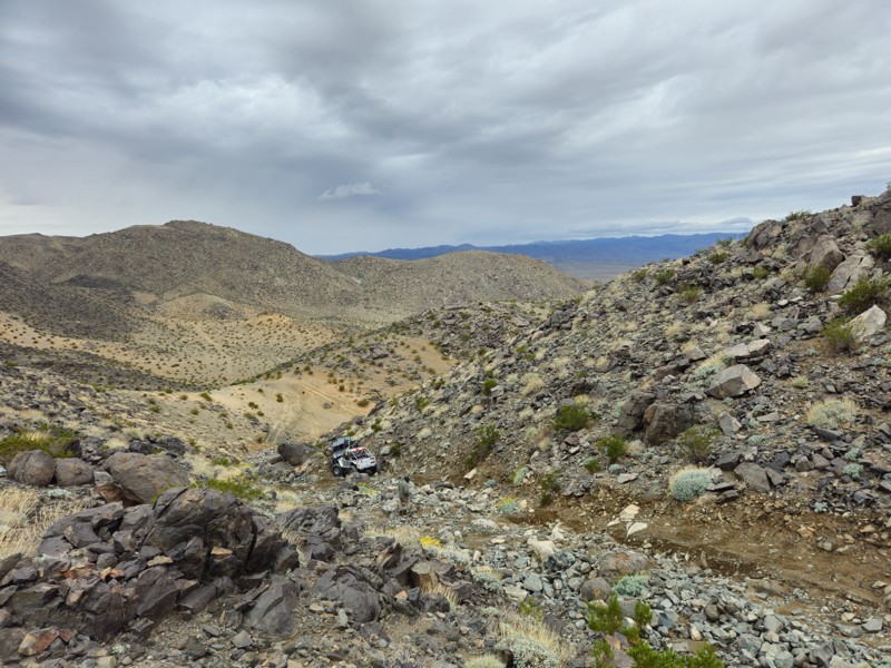
Located in the Johnson Valley OHV area and Fry Valley, Green Rock Mine Road cuts through the remains of its namesake Green Rock Mine and the mounds of green rock left over from the mining operation. This high elevation provides expansive views to the south of the desert floor and distant San Bernardino Mountains.

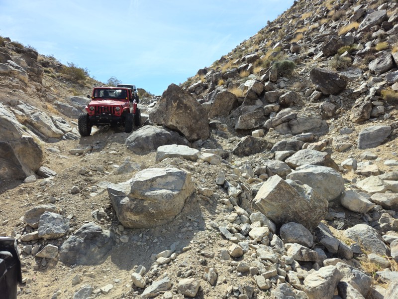
While starting over an easy desert floor, the trail becomes very difficult once climbing into the Fry Mountains over large loose rocks. The last half mile of the trail requires a high clearance four-wheel drive vehicle with an experienced driver.

Dispersed camping is allowed here when following the Bureau of Land Management Dispersed Camping Guidelines. Several dispersed campsites can be found around the mining camp with flat areas large enough for several vehicles and high enough to provide nice views to the south of the desert and distant mountains. Campfires are generally prohibited, and if you plan to camp, you are responsible for knowing the Campfire Restrictions.

California: Claw Hammer and Fissure Connector Hero Photo
Scout Route Icon
5/5 (2 reviews)
Updated: 10/15/2024

Claw Hammer and Fissure Connector

Johnson Valley, California
This short connector between Fissure Mountain and Wrecking Ball / Claw Hammer has a ton of dispersed camping. Several areas are large enough for 10 vehicles with ground tents. You will want at least an air mattress due to the small rocks on the ground. This trail is very lightly traveled, making it an ideal place to camp close to the epic crawling trails in the area. The trail ends at Wrecking Ball, which has a difficult hill climb/drop, depending on how you take it. If going from Fissure Mountain, you will drop down the hill climb.
California: Georges Shortcut - Cougar Buttes Hero Photo
All-Access Icon
2/5 (2 reviews)
Updated: 03/18/2023

Georges Shortcut - Cougar Buttes

Lucerne Valley, California
Minutes down the hill from Big Bear Lake, California, in Lucerne Valley is Cougar Buttes; A small section of the Johnson Valley OHV Recreation Area in San Bernardino County. The huge, light-colored rock formations here make for unique desert backdrops as you drive through the open trails of Cougar Buttes. From easy, soft sandy trails to technical, rocky desert canyons and dispersed tent or RV camping, Cougar Buttes has something for anyone from first-time off-roaders to experienced wheelers. Georges Shortcut travels through a short canyon in the northern section of Cougar Buttes. Dispersed camping locations can be found at either end of this trail. While this trail is easy, rock crawlers looking for a series challenge might like what they find partway into the trail.
California: Exit from Claw Hammer and Nightmare Hero Photo
All-Access Icon
5/5 (9 reviews)
Updated: 02/27/2024

Exit from Claw Hammer and Nightmare

Yucca Valley, California
On the backside of some of the hardest 4x4 trails in California is this great connector trail that gives you an easy up to watch the crazy rock crawling action. Being further from the main camping area, this trail offers some solitude for a little more low-key camp set up.
California: Sledge and Fissure Southern Trailead Connector Hero Photo
Scout Route Icon
5/5 (1 reviews)
Updated: 10/15/2024

Sledge and Fissure Southern Trailead Connector

Johnson Valley, California
Trail connector from the southern trailheads for Fissure Mountain and Sledge Hammer. The trail starts at the bottom of the hill drop at the end of Sledge Hammer and is a lot of soft sand. The hero shot is at the end of Sledge Hammer, where this trail ends There is no place to camp on this trail. If looking for unique camping, try near the northern trailhead of Sledge Hammer and watch the people do Jack Hammer all day and night. But for the normal person, camp on Means Dry Lake with all the RVs.
California: Boone Road & Barnes Road Hero Photo
Scout Route Icon
5/5 (18 reviews)
Updated: 03/09/2026

Boone Road & Barnes Road

Johnson Valley, California

Boone Road is the main eastern entry into California’s Johnson Valley OHV Area, a legendary off-road destination best known for the annual King of the Hammers event. Year-round, it serves as a gateway into vast desert terrain and offers easy access for all kinds of vehicles, including RVs, trailers, rock crawlers, and overland rigs. The road is wide, flat, and beginner-friendly, leading to the iconic lakebed and some of the most challenging trails in the country, including the infamous Hammers.

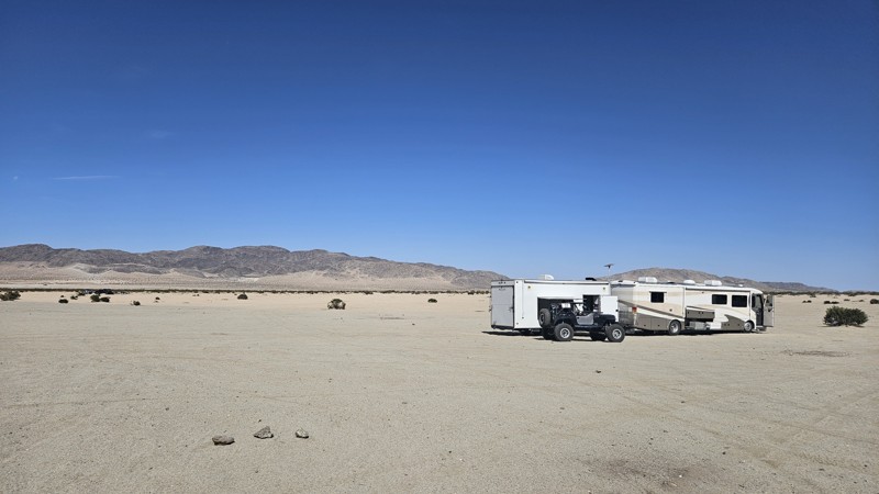
Whether you're exploring or camping, Boone Road delivers a true desert experience. It cuts through open terrain framed by rocky hills and dry lake beds, drawing adventurers from all over. Just past the bridge, the road opens into flat, level ground that’s perfect for dispersed camping. There’s plenty of room for tents, trailers, rooftop setups, and RVs under the vast desert sky.

California: Road to Claw Hammer Hero Photo
Scout Route Icon
5/5 (15 reviews)
Updated: 09/29/2025

Road to Claw Hammer

Johnson Valley, California

This route is the most efficient way to get from Means Dry Lake to Claw Hammer and many other famous Johnson Valley rock trails. The path is a heavily traveled route full of whoops and sand. Two-thirds of the way to Claw Hammer, you will pass the base of the sandhill or sand dunes, where you can test your traction and horsepower. This easy route can be rough and bumpy at times, but the biggest concern comes from areas of soft sand that are easy to get stuck in; thus, airing down is highly recommended.

Johnson Valley OHV area is an open OHV area, meaning you can drive anywhere, and you don't have to stay on the path if you choose not to. Portions of Johnson Valley are shared with the Twentynine Palms military base, and closures go into effect when training takes place. Please be sure to visit the BLM website: https://www.blm.gov/visit/johnson-valley-ohv-area to see closure schedules.

California: Johnson Valley 4310 Hero Photo
Scout Route Icon
3/5 (1 reviews)
Updated: 10/15/2024

Johnson Valley 4310

Johnson Valley, California

Located in Johnson Valley, JV4310 travels over a checkerboard of private and Bureau of Land Management (BLM) land.

With no existing campsites visible from the trail, several suitable open and flat locations will provide dispersed camping sites when on BLM land and meeting the BLM Camping Guidelines. Campfires are generally prohibited, and it is the responsibility of the camper to know the current BLM Campfire Restrictions.

JV4310 is a sandy trail passing over several washes. A high clearance two-wheel drive vehicle will do well on this trail.

California: Hercules' Finger Access Hero Photo
Scout Route Icon
4.3/5 (5 reviews)
Updated: 09/29/2025

Hercules' Finger Access

Lucerne Valley, California

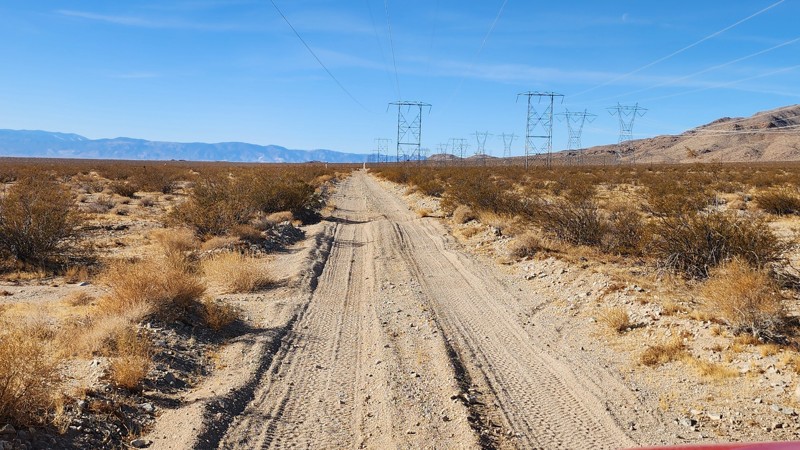
North of Lucern Valley, OM6600 treks along the southern end of the Ord Mountains under the shadow of several high-voltage powerlines. The road cuts straight across the desert, making slight elevation changes as it passes unique granite rock formations popular with rock climbing enthusiasts. One of the signature formations here, known as Hercules' Finger, is a 70-foot-tall, free-standing monolith sculpted by millions of years of erosion. The road is a mixed surface of hardpacked dirt and sand, with several sections of deep sand whoops. In addition, exposed rocks up to baseball size will be encountered along the road. There are many flat areas along the road where camping would be suitable and has been previously used. However, be cautious of private property parcels along the western half, as several campfire rings exist in areas of posted private property, and users should avoid camping there.

This road is suitable for any vehicle with decent ground clearance.

California: SunBonnet Trail and Hells Gate Hero Photo
Scout Route Icon
5/5 (2 reviews)
Updated: 03/09/2026

SunBonnet Trail and Hells Gate

Homestead Valley, California

Tucked away in the rugged heart of Johnson Valley, California, the legendary Sunbonnet Trail stands as one of the original and most revered Hammer Trails, branching off the iconic Means Dry Lake, affectionately known to off-roaders as Hammer Town USA. This trail is a true proving ground, drawing thrill-seekers from across the country to the unforgiving expanse of the high desert.

Carved by time and weather, Sunbonnet is a brutal test of driver and machine, packed with massive granite boulders, vehicle-squeezing notches, and extreme features like 4-foot ledges and 7-foot waterfalls. The trail demands precision and grit as it throws one obstacle after another, turning sheer climbs, narrow squeezes, and near-vertical drops into the kind of heart-pounding moments that offroad legends are built on.

Perched at around 3,400 feet above sea level, the climate here is as extreme as the terrain. Blistering summer temperatures can soar to a scorching 115°F, while winter nights plunge toward a bone-chilling 0°F, turning the trail into an entirely different beast with each season.

Due to the sheer intensity of the obstacles and the very real risk of significant body damage, only heavily modified rock crawlers should attempt to conquer Sun Bonnet. This trail isn’t just a drive; it’s a battle of machine versus nature, where every scratch and dent tells a story of grit, determination, and desert conquest.


California: Road to Backdoor Hero Photo
Scout Route Icon
5/5 (11 reviews)
Updated: 06/26/2026

Road to Backdoor

Johnson Valley, California

The Road to Backdoor is a dirt road that leads around the mountain and runs directly into Backdoor. This road isn't very popular since Backdoor is such a difficult trail. The road is comprised of mostly hard-packed dirt, with some soft sand as you get closer to the Backdoor obstacle. All 4x4's can easily handle this road.

Johnson Valley OHV area is an open OHV area, meaning you can drive anywhere, and you don't have to stay on the path if you choose not to. Portions of Johnson Valley are shared with the Twentynine Palms military base, and closures go into effect when training takes place. Please be sure to visit the BLM website: https://www.blm.gov/visit/johnson-valley-ohv-area to see closure schedules.

California: Kings Veto Hero Photo
Scout Route Icon
5/5 (1 reviews)
Updated: 06/03/2025

Kings Veto

Johnson Valley, California

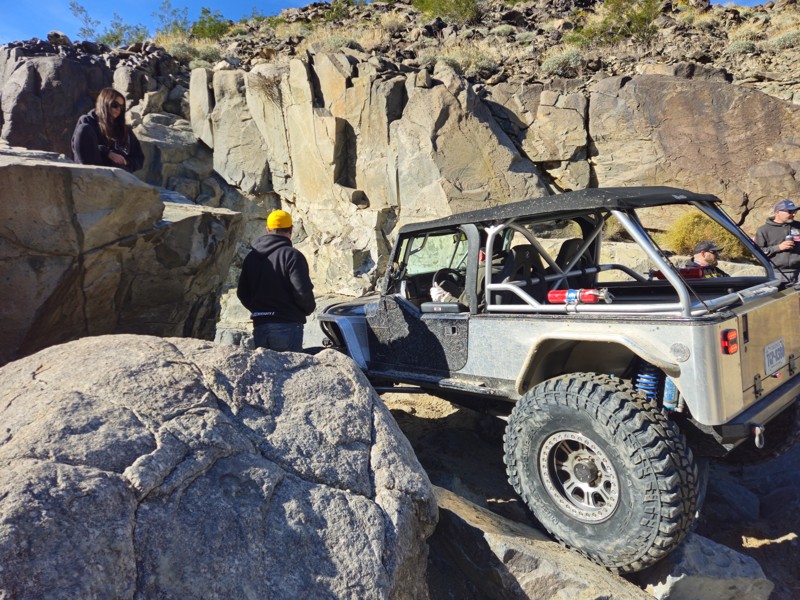
Located along the valley's western edge that splits Claw Hammer and Outer Limits, Kings Veto is one of the hardest of the hard. It is a trail reserved for only the most extreme off-roaders. Infamous for causing catastrophic vehicle failures and brutal body damage, this short yet savage canyon is a true reckoning for even the most seasoned drivers.

Littered with boulders larger than most rigs, sheer vertical ledges towering over six feet, and a relentless, unforgiving gauntlet of rocks, King’s Veto offers no mercy. It demands constant front digs, winching through near-impossible lines, and an acceptance that carnage is just part of the journey. It’s no surprise that the team behind King of the Hammers added this trail to the course with one goal in mind: eliminate as many competitors as possible.

So if you think your ultra-built rig is unstoppable, and you’ve got what it takes to face this brutal stretch of terrain, King’s Veto will be more than happy to prove you wrong. But hey, at least you’ll have one hell of a story to tell.

California: Jack and Sledge Connector Hero Photo
Scout Route Icon
5/5 (13 reviews)
Updated: 03/09/2026

Jack and Sledge Connector

Johnson Valley, California

Looking for a way to cut between Jack and Sledge Hammer. Well, this is your cut-through. The Jack and Sledge Connector is a convenient​ off-road trail at the top of both trails, meaning you can run up one canyon and then back down the other. Of course, the hard part is the other trails, so if you can do those, you should be good to go here. Due to its short nature, camping is not found directly along this trail, but there are endless camping opportunities on surrounding trails.

California: Qualifier Hill Hero Photo
Scout Route Icon
5/5 (10 reviews)
Updated: 09/29/2025

Qualifier Hill

Johnson Valley, California

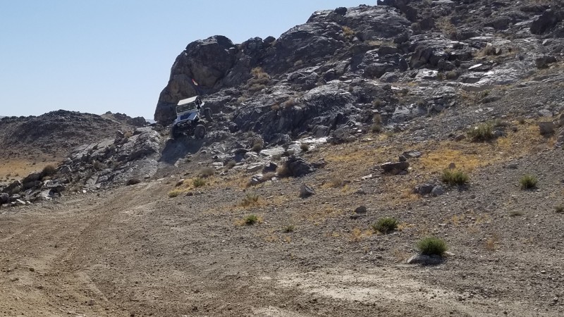
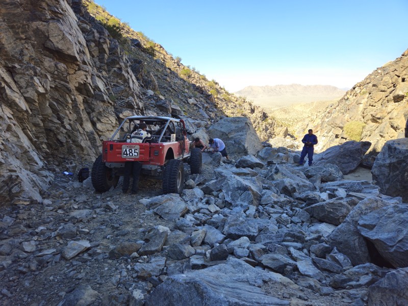
Part of the King of the Hammers Qualifying course in Johnson Valley California, this steep hillclimb is not for the faint of heart. One side is extremely steep and loose, with rocks in the right spots to make it hard, and on the other side is a drastic drop that is about 4 feet. This is a short straight-through trail only suited for well-built rigs and experienced drivers.
California: Stellar Road aka Skull Rock Hero Photo
Scout Route Icon
4/5 (8 reviews)
Updated: 09/29/2025

Stellar Road aka Skull Rock

Lucerne Valley, California

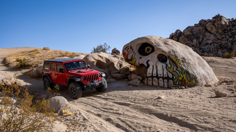
A unique side attraction when visiting Johnson Valley is Skull Rock, which is located on a sandy wash at the end of Stellar Road. The road to get to this hand-painted boulder is an easy, hard-packed dirt road just south of the popular Cougar Buttes area. You first pass several private property parcels before entering the Johnson Valley Open OHV Area, where the road becomes a bit sandier as you continue straight towards the rocky hills. As is typical of routes within Johnson Valley, the trail splits in several directions as you come to the edge of a sand wash, up against the base of the hills. Head northeast to the start of the wash, and there you will find the skull, north-facing, hidden in the desert landscape.

Dispersed camping is allowed throughout Johnson Valley, and there are plenty of wide-open, level areas to fit any type of camp setup and any group size. Cougar Buttes is very close and a popular area for camping, with decent wind protection.

California: Road to Short Bus and Comp Hill Hero Photo
Scout Route Icon
5/5 (10 reviews)
Updated: 03/09/2026

Road to Short Bus and Comp Hill

Johnson Valley, California

A quick shortcut from Means Dry Lake, The Road to Short Bus, and Comp Hill is a quick path to these two popular areas. So if you are looking for an easy way to get there from means dry lake, this is your shortest route. Camping is not found directly along this trail, but there are endless camping opportunities on surrounding trails.

California: Cougar Buttes Camp Loop Hero Photo
Scout Route Icon
4/5 (1 reviews)
Updated: 01/05/2026

Cougar Buttes Camp Loop

Lucerne Valley, California

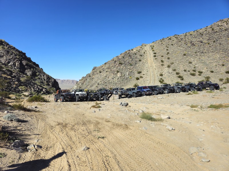
Cougar Buttes sits on the northeast side of California’s Johnson Valley OHV Area and feels like a granite playground dropped into the Mojave Desert. Rocky domes and boulder piles rise out of the open desert, creating everything from mild sandy two-tracks and whooped-out washes to tight canyons and serious rock-crawling lines. Dirt bikes, UTVs, and full-size 4x4s all share the area, with routes that range from easy exploring for newer drivers to extreme obstacles with ledges, waterfalls, and a real risk of body damage for those who want to push their rigs. This loop is an easily accessible area for setting up camp and exploring the surrounding trails. It is suitable for tents, RVs, Toy Haulers, and anything in between.
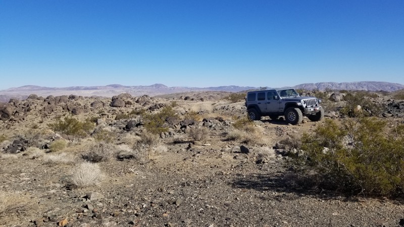
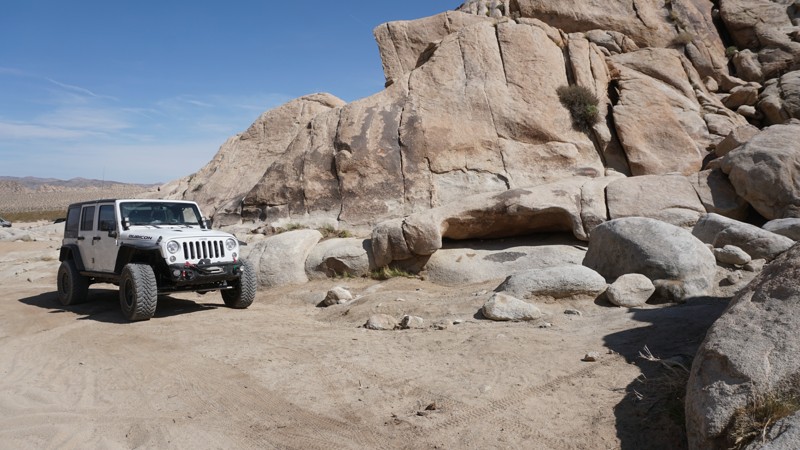
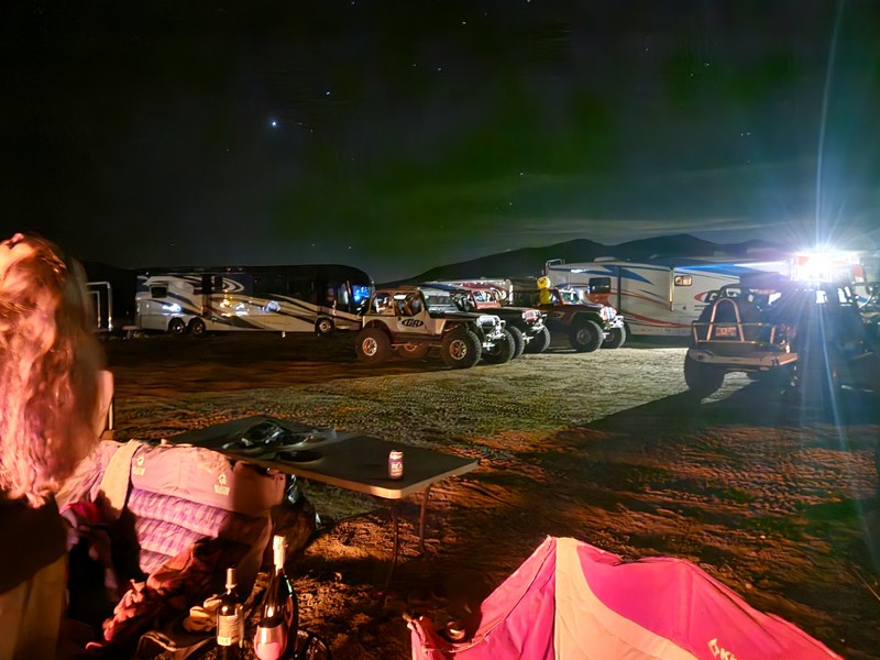
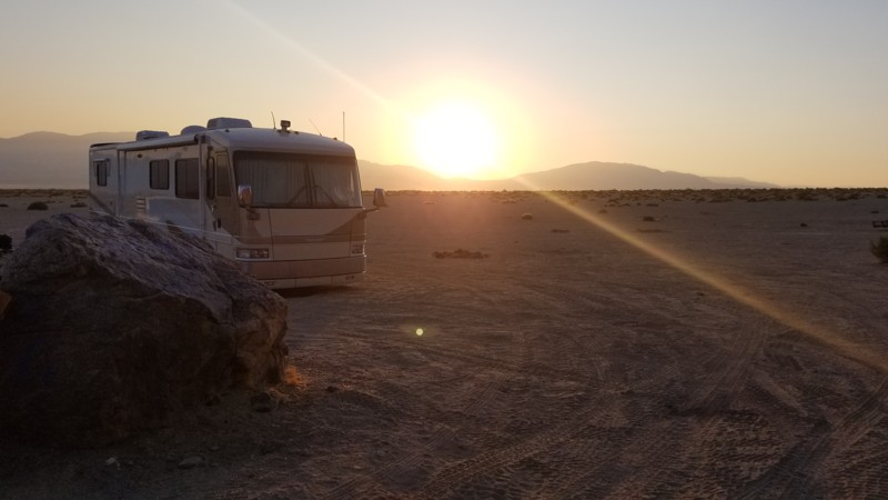
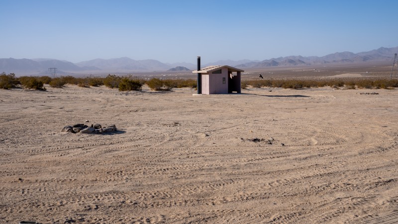
Camping here is a classic BLM-style boondocking experience. There are no developed campgrounds, no hookups, and no services, just wide-open space where you can dry camp for free as long as you follow BLM rules and respect existing routes. Most groups tend to set up near the rock piles for wind protection, quick trail access, and expansive desert views. You must be fully self-contained, pack out all trash, and plan for changing desert conditions. Cooler fall, winter, and spring months offer the most comfortable seasons to enjoy riding and camping. Pit toilets are available at the north end, close to Transmission Line Road.

California: Means Lake to Chocolate Thunder Hero Photo
Scout Route Icon
5/5 (1 reviews)
Updated: 02/02/2026

Means Lake to Chocolate Thunder

Homestead Valley, California

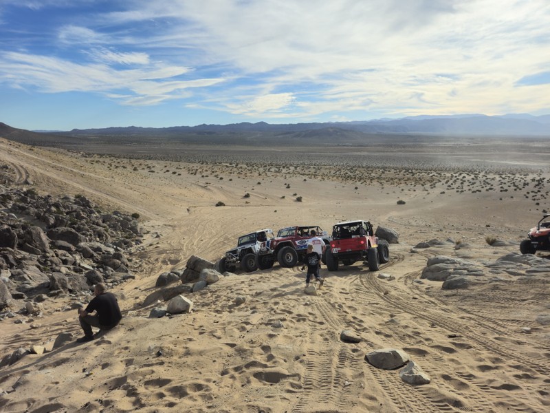
The sand path to Chocolate Thunder is a popular access route in the Johnson Valley OHV Area that connects Means Dry Lake and Hammertown to the Chocolate Thunder rock-crawling trail. It is a wide sandy track that is easy to follow and is commonly used by off-roaders and spectators during King of the Hammers. Many people take this path from Means Dry Lake to park up on the big sand hill above Chocolate Thunder to watch the action as racers tackle the rock obstacles below.

The route is not technical but can be soft in places, so airing down is recommended. A 2WD vehicle can make this route as long as they air down.

California: North Valley Hero Photo
Scout Route Icon
2.7/5 (4 reviews)
Updated: 09/29/2025

North Valley

Lucerne Valley, California

Located along the western edge of the Johnson Valley OHV Area, minutes from Lucern Valley, North Valley is one of the primary routes through a popular area known as Cougar Buttes. This trail is a straight connector between Astral Road and Powerline Road, providing access to many hardcore side trails and abundant dispersed camping. It travels over packed dirt and patches of soft sand, making it suitable for any vehicle. It is not uncommon to see large RVs and motorhomes camping together in small groups like wagon trains. There are two pit toilets along the route, but no trash receptacles.