






By clicking "ACCEPT", you agree to be the terms and conditions of each policy linked to above. You also agree to the storing of cookies on your device to facilitate the operation and functionality of our site, enhance and customize your user experience, and to analyze how our site is used.
Arizona Off-Road Trails
373
Total Trail Guides 359

4679
Detailed Waypoints 676
Try a Free 7-Day Trial and unlock it all
Start a Free Trial Most Recent Trail Reviews
Rated 4/5
Open
Visited: 09/22/2026
Hard pack, easy forest service road that is a great back way to the North Rim of the Grand Canyon.


Tyler D’Hulst
Rated 4/5
Open
Visited: 09/22/2026
Spring Canyon is a beautiful drive. We didn’t go out to the cabin but used this western section of road coming back from Crazy Jug

Tyler D’Hulst
Rated 4/5
Open
Visited: 09/22/2026
We took this out to Crazy Jug. The northern section is hard packed forest service road. Not difficult. Very scenic drive through the ponderosas.

Tyler D’Hulst
Rated 5/5
Open
Visited: 09/22/2026
View point is spectacular! Trail was easy going out, no obstacles at all. Saw a Toyota Camery at the viewpoint.


Tyler D’Hulst
Rated 3/5
Open
Visited: 09/22/2026
An alternative route out to Crazy Jug Point. It’s easy and can be scenic in areas. I’d recommend West Ryan out to Crazy Jug though.
Tyler D’Hulst
Rated 3/5
Open
Visited: 09/22/2026
A quick connector trail through the burn patch.
Tyler D’Hulst
Rated 5/5
Open
Visited: 09/20/2026
Leviathan Mine trail is a full day trip. Though it is only 20 miles in length the travel is slow and rough. Majority of the trail you will be going between 5-10 MPH. Then once at the end it connects w...



Eric Gartin
Official Crew
Rated 4/5
Open
Visited: 09/19/2026
Simple road, well graded today. Many mountain bikers coming down from the West out of Breezy Pines. Not too many people out until approaching Senator Hiway. We went East to West as I think thats a bet...



Jeff Burnett
Rated 3/5
Open
Visited: 09/19/2026
The trail itself is not spectacular, it's pretty flat across the plains. However, driving up to the overlook and seeing a huge gaping hole in the ground is a great juxtaposition to the flat trail. The...
Tyler D’Hulst
Rated 3/5
Open
Visited: 09/19/2026
A nice trail ride from the main road down off the plateau. It's graded forest service road until the switchbacks. The switchbacks themselves are not difficult, road is not graded. This section has bee...
Tyler D’Hulst
Rated 3/5
Open
Visited: 09/18/2026
The end of the trail is not well marked, and can cause confusion. Also, vehicle passes are required for all backcountry routes within the Lake Mead National Recreation Area.
Eric Gartin
Official Crew

Ted Whisler
No Rating
Open
Visited: 09/17/2026
Nice ride west side a little rocky but rating is true to #2


Ted Whisler
Rated 3/5
Open
Visited: 09/15/2026
A nice drop off the plateau heading towards Marble Canyon. Not a difficult road. Road is weathered but not challenging.
Tyler D’Hulst
No Rating
Temporary Closure
Visited: 09/15/2026
Road closed due to multiple washed out wash crossings after the turn off to go up the mountain. "Road Closed" sign put out by BLM on trail.
Tyler D’Hulst
No Rating
Temporary Closure
Visited: 09/15/2026
After the turn off to head up the mountain there are multiple washed out wash crossings. A "Road Closed" sign has been put out by the BLM.
Tyler D’Hulst

Ben Ruddell
Official Crew
Rated 4/5
Open
Visited: 09/14/2026
Bogles Ranch Road is a great Sunday afternoon drive type of dirt road that climbs up in elevation and gives some spectacular views of the surrounding area. The first half passes through State and Priv...


Eric Gartin
Official Crew
Ben Ruddell
Official Crew
Rated 3/5
Open
Visited: 09/14/2026
Antares Road is an excellent way to travel from Route 66 to the eastern portion of the Lake Mead National Recreation Area. This wide county road is well maintained with minor washboarding, most of whi...


Eric Gartin
Official Crew
Rated 3/5
Open
Visited: 09/14/2026
Hackberry road is a wide dirt road with minimal erosion damage and washboarding. There are a couple of larger washes that cross Hackberry road creating wide stretches of loose sand which can cause iss...


Eric Gartin
Official Crew
Rated 3/5
Open
Visited: 09/13/2026
This is a very rough, rocky, & slow going trail. Expect around 4+ hours for the trail & another hour to get the highway. One of those trails I'm happy I did but I wont be back personally. High clearan...

Brandon W
No Rating
Open
Visited: 09/12/2026
I think the rating is spot on. The ruts and washouts at the beginning are not as bad and if you hug the inside of the shelf road they can be avoided. The middle part is same general sandy wash with ov...



Greg Page
Rated 4/5
Open
Visited: 09/11/2026
Ran this trail as part of a larger loop. Trail is in great shape. Easy for standard 4x4 with no lift. Passengers can do it until maybe the very end by the lake where the road gets rocky and washed out...


Jeff Burnett
Rated 5/5
Open
Visited: 09/10/2026
This is one of my favorite scenic trails in the area. The trail is easy to travel, but does have some optional short trails that will test your vehicle. The views from the Grand Wash Cliffs of the Hua...


Eric Gartin
Official Crew
Rated 3/5
Open
Visited: 09/07/2026
This trail by itself is nothing special. It is mostly used as an access road to get to the more technical trail such as Homecourt, Twister, and Waynes World. This is a great trail for the beginner to ...


Eric Gartin
Official Crew
Rated 3/5
Open
Visited: 09/07/2026
This trail is an enjoyable alternate route when traveling on Blake Ranch Road (7163). The trail is easy with only a handful of spots with erosion damage. The few established camping sites appear to n...


Eric Gartin
Official Crew
Rated 5/5
Open
Visited: 09/07/2026
Ran this trail from Boynton Pass Road to Loy Butte Road (opposite direction from what is listed). Ran into a few rental ATVs and a couple of Jeeps heading the opposite way. This was a fun trail wit...



Daniel Macioce
Rated 5/5
Open
Visited: 09/07/2026
This trail was a lot of fun, plus the views were amazing. I ran the trail in the order posted, starting at the south trailhead and finishing at the heritage site. Past a motorcycle, a few jeeps and a...


Daniel Macioce
Rated 4/5
Open
Visited: 09/07/2026
Nice trail, ran West to East. For some reason the map shows this a a one-way trial, East to West. That is not the case, it is a two way trail. Was pretty washed out starting around mile 12. Plenty roc...


Jeff Burnett
No Rating
Open
Visited: 09/06/2026
New trail for me. You didn’t know what it would throw at you around every corner which is why you try to find new trails or old forgotten ones
KB
Kory Burden
Rated 5/5
Open
Visited: 09/06/2026
The trail is no joke—steep, narrow, and technical enough that you’ll want to be comfortable with off-camber shelf roads, rocky terrain, and washouts that will test your vehicles articulation. The rew...



Bobby Rumbaugh
Official Crew
Rated 5/5
Open
Visited: 09/06/2026
Fun trail if you don't want to do pyeatt draw itself. Ran this trail 3yrs ago and definitely a little more erosion but, still any truck or suv with good factory ground clearance can do it. From previo...
JM
James m
Rated 4/5
Open
Visited: 09/06/2026
Ran this trail from I-17 to Sedona. Extraordinary views descending into Sedona. As others have noted, there are lots of rock on the trail, making it slow going. Passed a large number of Pink Jeeps ...


Daniel Macioce
Rated 4/5
Open
Visited: 09/05/2026
This one definitely changed over the last few years. The southern section has some legit, steep, off-camber sections. YOU NEED experience, backup, and a capable vehicle on this one now. It's not supe...


.jpg)
Bobby Nelson
Official Crew
Rated 4/5
Open
Visited: 09/05/2026
Another amazing time on this scenic crossover. We came in from Walnut Canyon and finished out on Price Road after about 6 hours. A challenging and hot day for the old TJ. Rincon Road has evolved into ...


Bobby Nelson
Official Crew
Rated 4/5
Open
Visited: 09/05/2026
We started exactly at sunrise to try and beat the heat. We planned to crossover to Box Canyon and out on Price Road. It ended up taking us 6 hours, even with all the photos and filming we did. A chall...


Bobby Nelson
Official Crew
Rated 5/5
Open
Visited: 09/04/2026
We recently ran Four Peaks after the monsoon rains. Here’s what we found and what to expect if you’re planning to run it. Have a GR8 day!

Jeep 4 Dirt
Rated 5/5
Open
Visited: 09/04/2026
Breathtaking views. Definitely don't rush through the trail. Devil's staircase was a bit slippery but awesome. A few tight stops here and there, but a trail that's a must on anyone's to do list.



Christopher Bradley
Rated 4/5
Open
Visited: 08/30/2026
Id say this is a 3.5 to 4 trail. There are some obstacles, but nothing you really need to think hard about how to approach. If you send your vehicle at it in 4 low you'll get through everything.



Justin Holsinger
Rated 4/5
Open
Visited: 08/28/2026
Rim Road (FS300) West to East. Very well groomed gravel forest road. Accessible by just about any vehicle thats not been lowered. Who does that anyway? Scenic views the whole route. Hard to believe on...


Jeff Burnett
Rated 4/5
Open
Visited: 08/28/2026
Not a bad road but it was crowded with sxs and vehicles towing campers. Hard to rate 5 stars for a busy road. Super easy any vehicle can do this. Part is paved near the freeway but the rest is gravel.

Tony Rockwell
Rated 4/5
Open
Visited: 08/28/2026
I rated 4 stars just due to the volume of sxs & camper trailers on the road.
Easy drive, any car can do this.
Ran from sheep springs to munds park, see other reviews for full route.

Tony Rockwell
Rated 4/5
Open
Visited: 08/28/2026
I ran Bar M in reverse to get to this trail. Then headed toward Casner Park Road. (See reviews I did on each of those)
Nice easy trail that is less rough than Bar M.
Nice drive through trees.


Tony Rockwell
Rated 5/5
Open
Visited: 08/28/2026
Very bumpy due to rock infused trail. A few larger rocks, 8-12” tall in places but most stock 4x4’s should be able to navigate around or over them. I would say any 4x4 with all terrain tires could nav...


Tony Rockwell
Rated 3/5
Open
Visited: 08/27/2026
Overall decent little trail; camped out near Committee Tank (not suitable for tent camping - too rocky). Nothing too technical but enough to keep things interesting. High clearance and good line choi...


Bill Ferguson
Rated 3/5
Open
Visited: 08/27/2026
Connector from FS801 (Rock Garden Loop) to FS09494F (Committee Tank Trail); yeah, it lives up to its namesake. Very rocky. High clearance and picking good lines are an absolute must. Car camped at...

Bill Ferguson
Rated 5/5
Open
Visited: 08/27/2026
Nice trail saw some deer it’s a little rough but overall was easy


M
Maddox
Rated 5/5
Open
Visited: 08/23/2026
Great little adventure for the day. Dirt road is pretty rutted up due to monsoons, but easily drivable. Lake itself is extremely low.
LL
Larry Lapp
Rated 4/5
Open
Visited: 08/22/2026
A fun side trip that has a steep hill climb. Due to recent rains, the wildflowers were blooming.


Bobby Rumbaugh
Official Crew
Most Popular
Updated: 05/23/2024
Hull Cabin
Tusayan, Arizona
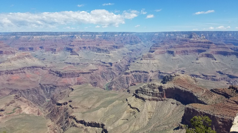
The Hull Cabin trail is in close proximity to the Grand Canyon yet gives travelers a free place to camp that gives a break from the crowds of tourists present in the park. Amazing views are close by with Grandview Point approximately two miles west of the trailhead and Moran Point approximately four miles east.
Updated: 05/01/2024
Chiva Falls
Tucson, Arizona
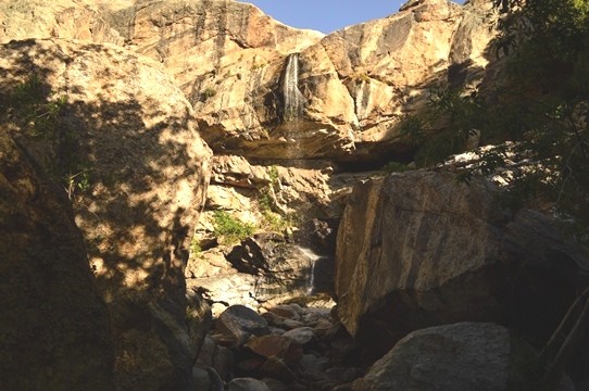
Chiva Falls, or as the local residents call it, Chivo Falls, is one of the most favored challenging trails in the Tucson area. This trail has a couple of different four-wheeling challenges while traveling out to a 75-foot waterfall and the spectacular views of Mount Lemmon and the Rincon Mountain region. The waterfall that the trail is named for does not continuously run; therefore, planning around the weather is critical to have the complete experience. Fall and Spring offer the best chances for catching the water flowing over the falls. The area is incredibly scenic with pristine desert landscapes, with the destination point being the trail's namesake. Driving up above the falls, where you can lounge in one of the many pools, is another bonus when the water flows. This is a great trail to challenge yourself and to take in some of the best scenery in all of Arizona.
Updated: 07/06/2024
Constellation Road
Wickenburg, Arizona
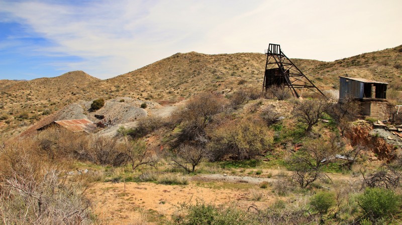
Wickenburg has a rich history in mining and cattle ranching. Constellation Road, one of the main routes in the region, passes several old mines and working ranches before finally reaching the Hassayampa River Canyon Wilderness Region. The trail passes numerous mines, including the photogenic Monte Cristo, and many of its original structures remain. The trail ends at the Hassayampa River Wilderness Area, with several miles of great hiking through beautiful remote canyons. An active cattle ranch still operated along the edge of the wilderness. This easy but rugged, remote trail makes for an exciting day trip deep into the area's remote history.
Updated: 04/01/2024
Chimney Rock
Tucson, Arizona
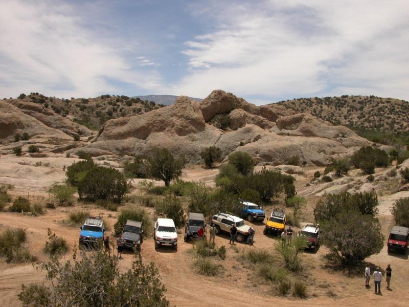
One of the lesser known and used trails in the Coronado National Forest, / Redington Pass - Central Plateau, Chimney Rock trail is actually a series of Forest Service Roads, FR#371, FR#36, FR#4431, FR#4431A, FR#4438, and finally FR#4430 when running from west to east.
This trail has about all the kinds of four wheeling that Southern Arizona has to offer. Vehicles will encounter high desert oak scrubland, deep washes, rocky climbs, deep V washouts, route finding challenges, woodlands, waterholes, boulder crawls, crazy gates and many points of interest along the way.
Part of it can be accomplished in a 2 wheel drive vehicle with good ground clearance, but to do the entire trail you should count on needing some rock rails, skid plates, and capable driving skills. Arizona pinstripes are guaranteed on this trail as the wash is choked with bushes that will reach out and put these little badges of honor on the side of your rig. But above all of this, the scenery of the eastern Catalina Mountain foothills and the astounding geology make this one of the classic Tucson area trails.
This trail has about all the kinds of four wheeling that Southern Arizona has to offer. Vehicles will encounter high desert oak scrubland, deep washes, rocky climbs, deep V washouts, route finding challenges, woodlands, waterholes, boulder crawls, crazy gates and many points of interest along the way.
Part of it can be accomplished in a 2 wheel drive vehicle with good ground clearance, but to do the entire trail you should count on needing some rock rails, skid plates, and capable driving skills. Arizona pinstripes are guaranteed on this trail as the wash is choked with bushes that will reach out and put these little badges of honor on the side of your rig. But above all of this, the scenery of the eastern Catalina Mountain foothills and the astounding geology make this one of the classic Tucson area trails.
Updated: 02/02/2024
Elephant Butte
Queen Valley, Arizona
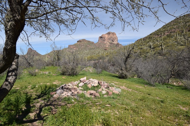
The Superstition Mountains Wilderness Area is located about 45 minutes east of Phoenix, Arizona. The region has been called a variety of different names throughout the years, from Thunder Mountains to Crooked Mountain Top. But it wasn’t until the 1890s when they were first called the Superstition Mountains. That's when Jacob Waltz wandered out of the hills with gold nuggets and the legend of the Lost Dutchman mine began.
Elephant Butte backcountry road is an excellent opportunity to experience the Superstition Mountains without the crowds. It's a gateway to some incredible hiking and the camping is truly amazing. This little known residential and State Trust Land trail allows people to access the boundary of the Superstition Wilderness Area near Queen Valley, Arizona. The trail begins along a golf course and private residence before passing the large natural rock formation that looks like an elephant. The trail winds way back into a scenic canyon, with large cliffs and another large rock formation called Buzzards Roost.
Updated: 01/07/2024
Agua Caliente Road
Buckeye, Arizona
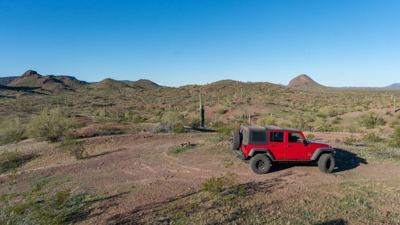
Located close to the southwest Phoenix Valley, Agua Caliente Road is a comfortable drive through the Lower Sonoran Desert that travels roughly 40-miles between Buckeye and the old town of Agua Caliente. Once you travel a few miles in, the remote desert experience takes hold, providing views of the Gila Mountains, Fourth of July Butte, Cortez Peak, and Yellow Medicine Butte, and all the while peppered with Saguaro and Palo Verde. Years ago, this area was so remote that a location named "Sundad" was built to house patients with Tuberculosis - they wanted to keep the contagion as far from the population as possible. Today, Sundad only has foundations left but is a must-do side trip offering some of the more unique desert art and homages in all of Arizona.
Updated: 07/05/2024
Perkinsville Old 354 Road
Williams, Arizona
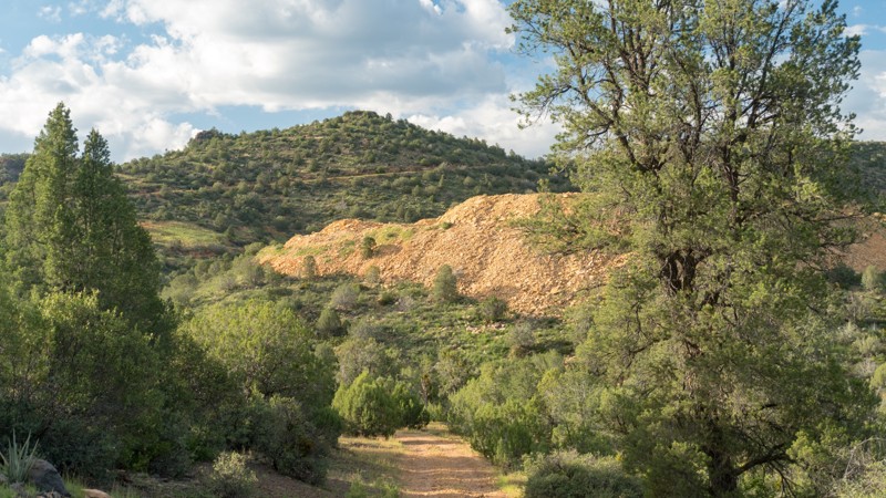
Arizona offers many backcountry roads with epic scenery but few offer the panoramas that the Sycamore Wilderness area has to offer. The Old Perkinsville Road allows 4x4 enthusiasts access to some of the lesser-traveled trails in the Prescott National Forest. This route brings you from the red cliffs of the desert valley to high up into the tall pines of Kaibab National Forest that surround Flagstaff. While working your way up to the tall pines, you'll encounter some old mine ruins and have numerous options for selecting a beautiful campsite for the night.
Updated: 04/08/2024
Buckhorn Springs
Surprise, Arizona
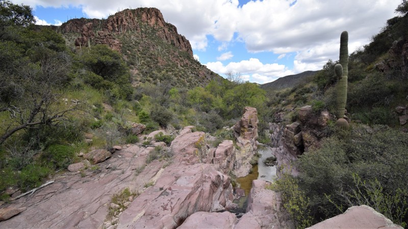
Buckhorn Springs is a remote and scenic overland route through the rugged Hieroglyphic Mountains of central Arizona. The namesake Buckhorn Springs is a short hike through a desert oasis well worth the effort. The natural spring flows through a narrow rocky canyon with several crystal-clear water holes. Stately saguaro, spindly ocotillo, and thorny cholla cacti dot the slopes of the rugged rocky landscape. Late winter showers bring color in the form of wildflowers. The route also serves several old ranches and mines tucked away in the desert scrub.
Updated: 07/05/2024
Sycamore Canyon Cliff Dwellings (Henderson Road)
Williams, Arizona
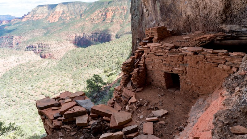
The Sycamore Wilderness region outside Sedona, Arizona has some of the most picturesque landscapes in the country. Outdoor enthusiasts from all over the world flock to this region yearly to take in the beauty that has remained untouched by humans to this day. This particular trail leads you to a very well preserved cliff dwelling that overlooks an incredibly beautiful canyon. Be sure to venture out and take in the views that this trail has to offer.
Updated: 03/09/2024
Hackberry Creek Loop
Superior, Arizona
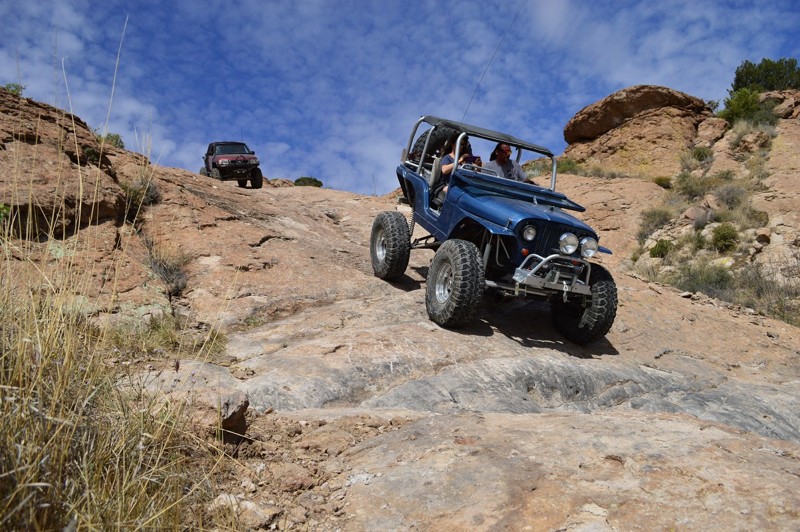
Hackberry Creek trail and the Devil's Canyon area is by far one of my favorites in the Phoenix area because of the backcountry adventure it offers in one small area. It offers incredible scenery, challenging four wheeling, free camping, miles of hiking and world class canyoneering. The area has been considered sacred land for centuries by the Apache Nation and was once a protected area but in 2015, a late night deal with congress, gave the entire area away to a foreign mining conglomerate. So what does that mean for us wheelers, campers and general out door types? Well we have to rush to enjoy the area before it has a big ole fence put up around it.
The region is littered with spectacular chimney type rock formations, towering precariously on the edge of cliffs. There are several very large balancing rocks and other natural wonders to see in the area. The 4x4 trail keeps you along the top of what is called Devil's Canyon way down below. There are no official hiking trails down into the canyon but at a couple of the drill platforms along the eastern most trails, you can find a small path leading down several hundred feet to the canyon floor. There are a couple large canyon cliff pools that can be accessed by experienced and properly equipped adventurers. The area once held world championship rock climbing competitions which has resulted in thousands of established climbing lines in the area. Please enjoy this incredible area before it is taken from us.

Updated: 04/22/2026
Bulldog Canyon 1356
Apache Junction, Arizona
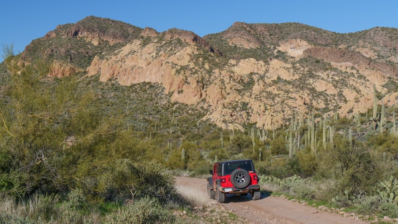
Traveling through the scenic Bulldog Canyon Off-Highway Vehicle Area, Trail 1356, is an ideal opportunity to have a memorable 4x4 experience without an all-day commitment. Over the years, the area's trails have become more worn and, in most cases, more enjoyable. This route, in particular, is more challenging because of its use and natural erosion. Stock 4x4 owners will find the 20-degree rocky hill climb and tippy ledges both exhilarating and challenging. Low-range gearing, high clearance, and durable tires are needed for this route. Camping is sparse along the route, with only a few primitive campsites. Due to Forest Order 03-12-03-22-34, camping is prohibited within 1 mile from the Dutchman Staging Area and the Wolverine Staging Area until at least January 12, 2026. Please stay on the clearly marked trail. A Tonto Motorized Vehicle Use Permit is required to access this road, which is only available online. Permits are not available at the District Office.
Updated: 11/06/2024
Cinder Hills OHV
Flagstaff, Arizona
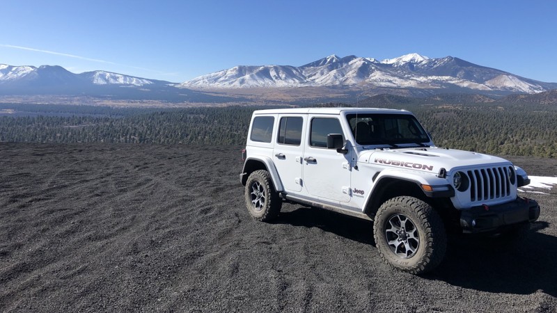
People come here for a one-of-a-kind experience: climbing "dunes" made of volcanic cinder at 7000-8000 feet elevation, with amazing views. This is a really unique and excellent attraction. It is also not for the faint of heart or those with low clearance or street tires. Most users come to camp along FR776 and tear it up around FR777 on quads, razors, dirt bikes, and rails. Some professional-grade hill-climbing is done here, including the 900-foot critical slope (e.g., falling-down-slope) "Hundred Dollar Hill" on the west side of Double Crater. The hill was named after the cost of broken parts on every attempted climb; today, it should probably be called a "five-thousand-dollar hill." There are dozens of other climbs with the same risk and challenge as Hundred Dollar Hill. And isn't the climb that breaks your rig the one you should call Hundred Dollar Hill? Some of us, more casual offroad enthusiasts, show up in jeeps or something similar - and will not be climbing these epic slopes. Those who come in RVs will stay close to FR776. This OHV area is right on the city limits of Flagstaff, so you can get out, have fun, and be back at home or the hotel in time for lunch. Deep snow adds another dimension to the fun and risk. This is also one of the best places to camp in Arizona because of the unlimited and uncrowded dispersed camping options all over the dunes- especially if you're an overlander capable of climbing a hill and camping along FR777 away from the groups on FR776.
Updated: 06/20/2024
Rocker Panel Pass
Fountain Hills, Arizona
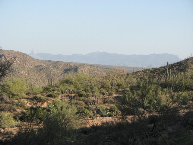
Rocker Panel Pass is a difficult rock crawling trail within the Tonto National Forest. Drivers will experience the best scenery this area has to offer with views of Mt. Ord, the Four Peaks Wilderness Area, Sycamore Creek, Weaver's Needle, and the Superstition Wilderness Area. The earlier sections of the trail offer a reprieve in the summer months where the water is cool and the shade is plentiful. A big portion of the areas flora can also be found here including paloverde and mesquite trees, saguaro cactus, teddy bear cholla cactus, prickly pear cactus, ocotillo shrub, brittle bush, and the jojoba bush. The trail has a numerous large boulders and rock ledges that require a modified vehicle and a good spotter.
Updated: 06/05/2022
Cochran Road
Florence, Arizona
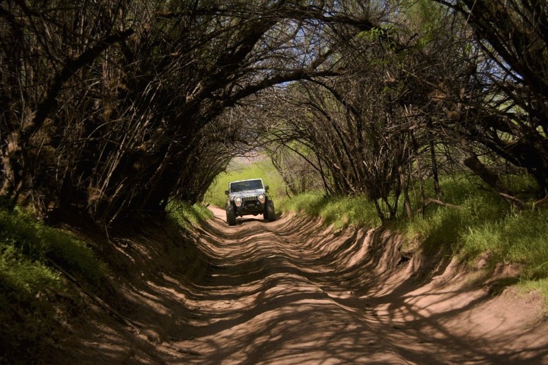
Cochran Road leads to the now non-existent town of Cochran, along the Gila River and Sante Fe railway. In it's heyday back in the very early 1900's, it had up too 10 residents. The town was named after it's first post master John S. Cochran and served the local mines, railway and ranchers. There is nothing really left of the town site now except a very flat area. However, the route leads to a nice section of the Gila River, which always has flowing water. It's a popular crossing point for accessing many of the area OHV trails. Once you decide to cross the river, you then have to choose between two different trails to take, Rincon Road to the right, leading out to Walnut Canyon or to the left is Martinez Canyon Road leading out to many trails in the Florence OHV area. Please note that the Coke Ovens are closed to the public and should not be driven to.
Updated: 12/17/2023
Planet Ranch Road
Yucca, Arizona
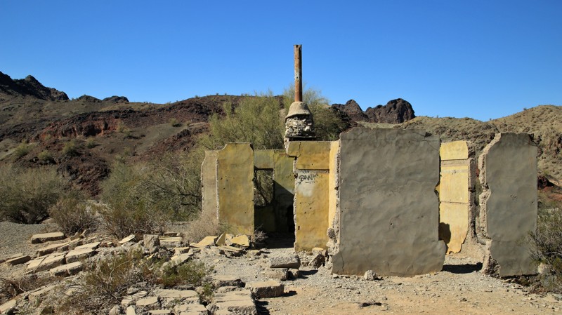
Copper discoveries on the north side of the Buckskin Mountains near the Bill Williams River in 1863 led to one of the earliest copper mines in Arizona. A small town named Planet grew up around the copper mine and, in 1902, got its own post office. The mine played out in 1921, and the town was abandoned. Meanwhile, down in the river valley, a large ranch had sprung up. Planet Ranch raised cattle and hay. In 2015, a large portion of the ranch was handed over to Arizona's Game and Fish Commission to establish and preserve riparian habitat for wildlife and ponds for fish, primarily the endangered razorback suckers and bonytail. The acquisition also ensured full access along the historic Planet Ranch Road. Planet Ranch Road is a drive-through history as well as several unique Arizona landscapes. The broad Dutch Flat and Cactus Plain highlight lower desert life. The Buckskin Mountains offer multi-hued geology for your contemplation. The absence of light pollution makes for magnificent stargazing from one of the many campsites along the trail.

Updated: 03/02/2024
El Paso Pipeline Road
Tonopah, Arizona
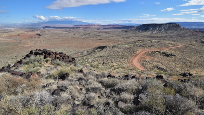
52 plus miles of dirt and you can avoid I-10, what more could you want? El Paso Pipeline Road plays a major part in building area offroad trips for the day, the weekend, or even longer routes connecting the Phoenix Valley and the Salton Sea. Beautiful desert landscapes filled with washes and jagged peaks are interrupted by pipeline markers and powerlines, but that should not stop you from wanting to use this road. Impressive views of the Eagletail Mountains Wilderness Area, including the mysterious-looking Courthouse Rock, greet you at either the beginning or the end of the trail depending on which direction you choose to drive it. Once you train your eyes to look past the utilities, you find all the opportunities for overland adventure that is abundant directly from this road. Tip: Up above, increase the "Nearby Trails" tab view to 35 miles to see the route potentials you can explore!
Updated: 08/19/2025
Sunshine Loop
Saint George, Arizona
The Sunshine Trail was created by the first Mormon settlers in the region. They used sections of this loop to transport timber from Mount Trumbull to the south. This loop is an easy way to get out into the Arizona Strip to enjoy the colorful rock formations, hunt for crystals, or take an easy drive through a picturesque desert landscape. The loop combines numerous BLM trails that travel through and above several canyons with vertical rocky cliffs. Because of rains and the lack of trail maintenance, the route has changed over the years. The Arizona Strip is a vast arid region north of the Grand Canyon. Within its nearly 3 million acres, you will enjoy a variety of colorful landscapes and climates. To this day, the difficulty of crossing the Canyon continues to isolate the Arizona Strip from the rest of the state. Despite that fact, the area has played an important role in the natural and cultural history of the Grand Canyon State. Artifacts dating back more than 8,000 years indicate how long human habitation has been on this harsh landscape.
Updated: 07/21/2024
FR 535
Kachina Village, Arizona
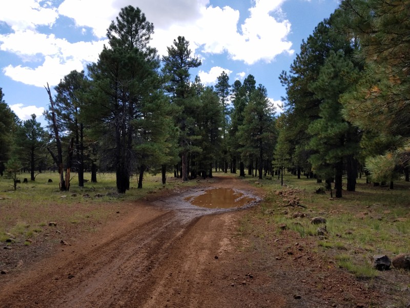
If your looking for a good way to get up on top of the Mogollon Rim to camp in the Ponderosa Pines, you've come to the right place. FR 535 connects with a plethora of trails and camping spots.
Updated: 02/05/2025
Horsethief Basin
Crown King, Arizona
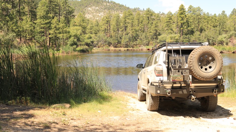
In the late 1800s, a few industrious horse thieves began using a lush and largely inaccessible valley in the southeastern Bradshaw Mountains as their hideaway. The remoteness kept them one step ahead of the law. A lake and plenty of grass kept the horses fed while altering the brands for later sale. The area became informally known as Horsethief Basin. Horses gave way to motorized vehicles. The depression of the 1930s produced the Civilian Conservation Corps, which, among many projects nationwide, built a road into rugged Horsethief Basin. They also built an arch dam on the small lake as well as several first-rate campgrounds. In 1934 Horsethief Lookout was erected on a promontory at the end of the road to monitor the area for forest fires. Today, intrepid off-roaders drive the remote Horsethief Basin road. While boondocking at the scenic spot of your choice or camping at the quaint Hazlett Hollow Campground, you can fish in the picturesque Horsethief Lake. Hopefully, you'll even be invited to scale the Horsethief Lookout for what is arguably the best view in Arizona outside the Grand Canyon.
Updated: 01/20/2024
Poland Road
Prescott Valley, Arizona
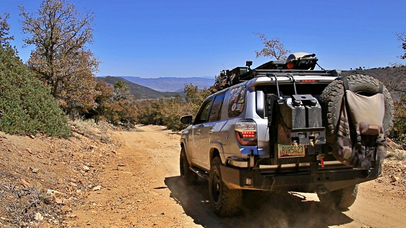
Poland Road is a sampler menu of all that the Bradshaw Mountains offer. The salad bar profers Ponderosa Pine forests, scrub oak and manzanita chaparral, and high desert grasslands. The spread features mashed potatoes in the form of a nicely graded road but topped off by some spicy chorizo when you crawl your way through rock obstacles. For protein, just watch the edges of the roadside forests for venison on the hoof or turkeys trotting into the scrub brush. After the feast, kick back in a nice campsite to listen to a concert of the wind singing in the upper branches of the tall pines. Or, if you feel like a bit of an after-dinner stroll, amble into the Poland Walker Tunnel and muse on the history of the hardy prospectors and entrepreneurs that fought their way into these mountains. But don't leave without the satisfying dessert of finding a suitable viewpoint to admire the long vista of a wonderfully rugged landscape. In summer, the maitre d' suggests the view from the lookout tower atop Mount Union but kindly ask the doorman for entry. Poland Road. It's a satisfying meal.
Updated: 06/18/2024
Camp Wood Road
Chino Valley, Arizona
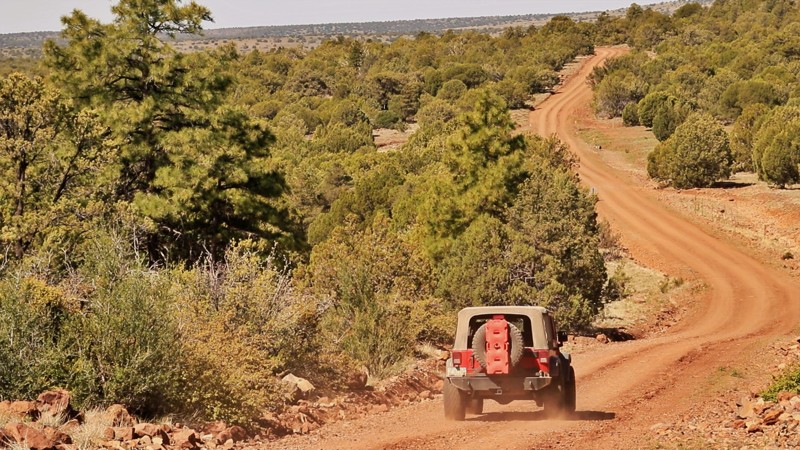
Camp Wood Road gives the adventurous overlander a smorgasbord of all that central Arizona has to offer. From the grassy plains of Williamson Valley to the pine forests of the Prescott National Forest, you experience Arizona’s ranching history with views of the historic Cross U and Yolo ranches. The central Arizona experience continues with miles of dirt road through high desert chaparral, with its pygmy forest of junipers, before descending into Wild Horse Basin, which, with its backdrop of the majestic Shipp Mountains, reminds one of Colorado. No authentic Arizona experience is complete without a copper mine, and this journey does not disappoint, ending in the copper mining hamlet of Bagdad with its giant copper mine, formed in 1882. The remoteness of Camp Wood Road gives the journey a special flavor. With constantly changing biomes and scenery, the miles fly by. Try it for yourself.
Updated: 05/17/2024
Elbow Canyon
Mesquite, Arizona
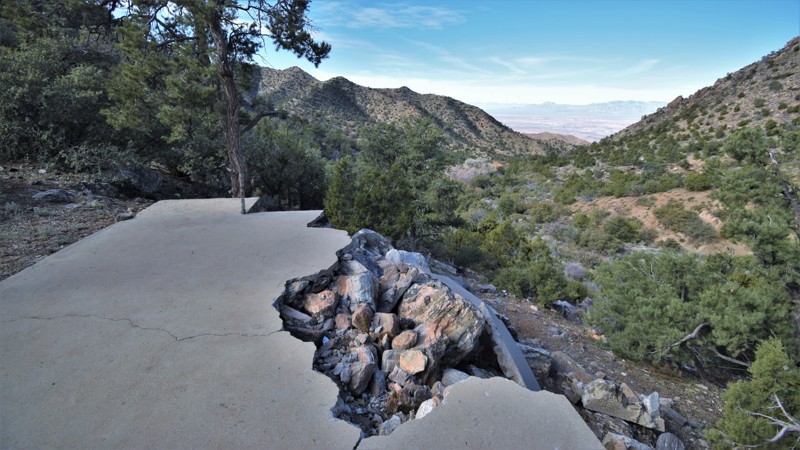
There are numerous ways to gain entry into the remote Grand Canyon-Parashant region. One of the most challenging is Elbow Canyon outside Mesquite, Nevada. This trail is ideal for those looking for an authentic 4x4 experience without needing a heavily modified vehicle. It climbs up from the flat desert through the scenic Elbow Canyon within the Virgin Mountains. The trail passes a couple of primitive campsites, with the best being an old ranch that offers spectacular views of the valley below and room for a small group to relax under the stars. The trail continues to climb along narrow ledge switchbacks that expose even more impressive views of the desert below. Once you're over the pass, the route will connect you with 1004 Black Rock Mountain, where you'll choose how to continue your memorable adventure within the Arizona Strip.
Updated: 09/19/2026
Buffalo Ranch Road
One Mile, Arizona
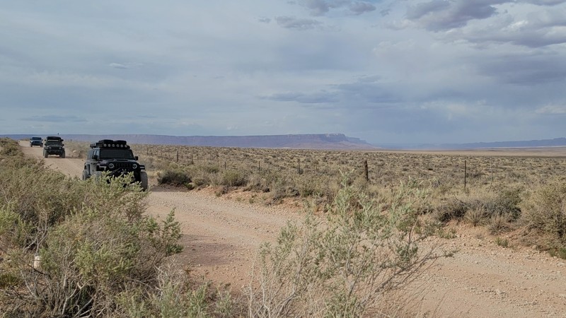
Buffalo Ranch Road is a very flat access road to the North Rim of the Grand Canyon. This route is mainly graded dirt. However, there are occasional sand-blown dune areas that require high clearance and 4WD. No camping is available until you get to the rim.
Updated: 03/20/2024
Mud Mountain Road
Mesquite, Arizona
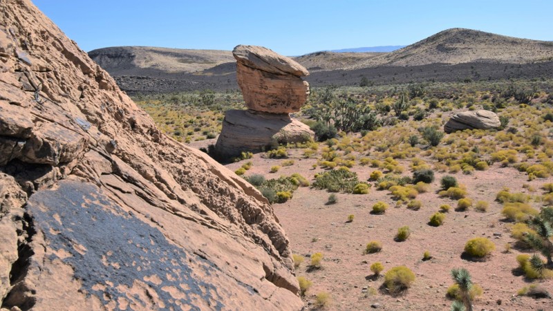
The Grand Canyon - Parashant region in the Arizona Strip is still one of the most remote places in the United States. The monument’s name derives from an early translation of a Paiute family name “Parashonts,” meaning “elk or large deer standing in water.” While traveling through this majestic landscape you'll experience what remote really feels like, you can explore for days and possibly never run into another vehicle. CR 101 is the easiest and main route that travels north-south from Nevada to Utah. Because of the remoteness of the region the wildlife is abundant. You can expect to see golden eagles, bald eagles, prairie hawks, elk and deer, just to name a few.

Upgrade your Membership
Unlock all of the details on every Trail Guide and Scout Route.
Start a 7-day Free TrialCommunity
Partners

