






By clicking "ACCEPT", you agree to be the terms and conditions of each policy linked to above. You also agree to the storing of cookies on your device to facilitate the operation and functionality of our site, enhance and customize your user experience, and to analyze how our site is used.
Arizona Off-Road Trails
373
Total Trail Guides 359

4679
Detailed Waypoints 676
Try a Free 7-Day Trial and unlock it all
Start a Free Trial Most Recent Trail Reviews
Rated 4/5
Open
Visited: 09/22/2026
Hard pack, easy forest service road that is a great back way to the North Rim of the Grand Canyon.


Tyler D’Hulst
Rated 4/5
Open
Visited: 09/22/2026
Spring Canyon is a beautiful drive. We didn’t go out to the cabin but used this western section of road coming back from Crazy Jug

Tyler D’Hulst
Rated 4/5
Open
Visited: 09/22/2026
We took this out to Crazy Jug. The northern section is hard packed forest service road. Not difficult. Very scenic drive through the ponderosas.

Tyler D’Hulst
Rated 5/5
Open
Visited: 09/22/2026
View point is spectacular! Trail was easy going out, no obstacles at all. Saw a Toyota Camery at the viewpoint.


Tyler D’Hulst
Rated 3/5
Open
Visited: 09/22/2026
An alternative route out to Crazy Jug Point. It’s easy and can be scenic in areas. I’d recommend West Ryan out to Crazy Jug though.
Tyler D’Hulst
Rated 3/5
Open
Visited: 09/22/2026
A quick connector trail through the burn patch.
Tyler D’Hulst
Rated 5/5
Open
Visited: 09/20/2026
Leviathan Mine trail is a full day trip. Though it is only 20 miles in length the travel is slow and rough. Majority of the trail you will be going between 5-10 MPH. Then once at the end it connects w...



Eric Gartin
Official Crew
Rated 4/5
Open
Visited: 09/19/2026
Simple road, well graded today. Many mountain bikers coming down from the West out of Breezy Pines. Not too many people out until approaching Senator Hiway. We went East to West as I think thats a bet...



Jeff Burnett
Rated 3/5
Open
Visited: 09/19/2026
The trail itself is not spectacular, it's pretty flat across the plains. However, driving up to the overlook and seeing a huge gaping hole in the ground is a great juxtaposition to the flat trail. The...
Tyler D’Hulst
Rated 3/5
Open
Visited: 09/19/2026
A nice trail ride from the main road down off the plateau. It's graded forest service road until the switchbacks. The switchbacks themselves are not difficult, road is not graded. This section has bee...
Tyler D’Hulst
Rated 3/5
Open
Visited: 09/18/2026
The end of the trail is not well marked, and can cause confusion. Also, vehicle passes are required for all backcountry routes within the Lake Mead National Recreation Area.
Eric Gartin
Official Crew

Ted Whisler
No Rating
Open
Visited: 09/17/2026
Nice ride west side a little rocky but rating is true to #2


Ted Whisler
Rated 3/5
Open
Visited: 09/15/2026
A nice drop off the plateau heading towards Marble Canyon. Not a difficult road. Road is weathered but not challenging.
Tyler D’Hulst
No Rating
Temporary Closure
Visited: 09/15/2026
Road closed due to multiple washed out wash crossings after the turn off to go up the mountain. "Road Closed" sign put out by BLM on trail.
Tyler D’Hulst
No Rating
Temporary Closure
Visited: 09/15/2026
After the turn off to head up the mountain there are multiple washed out wash crossings. A "Road Closed" sign has been put out by the BLM.
Tyler D’Hulst

Ben Ruddell
Official Crew
Rated 4/5
Open
Visited: 09/14/2026
Bogles Ranch Road is a great Sunday afternoon drive type of dirt road that climbs up in elevation and gives some spectacular views of the surrounding area. The first half passes through State and Priv...


Eric Gartin
Official Crew
Ben Ruddell
Official Crew
Rated 3/5
Open
Visited: 09/14/2026
Antares Road is an excellent way to travel from Route 66 to the eastern portion of the Lake Mead National Recreation Area. This wide county road is well maintained with minor washboarding, most of whi...


Eric Gartin
Official Crew
Rated 3/5
Open
Visited: 09/14/2026
Hackberry road is a wide dirt road with minimal erosion damage and washboarding. There are a couple of larger washes that cross Hackberry road creating wide stretches of loose sand which can cause iss...


Eric Gartin
Official Crew
Rated 3/5
Open
Visited: 09/13/2026
This is a very rough, rocky, & slow going trail. Expect around 4+ hours for the trail & another hour to get the highway. One of those trails I'm happy I did but I wont be back personally. High clearan...

Brandon W
No Rating
Open
Visited: 09/12/2026
I think the rating is spot on. The ruts and washouts at the beginning are not as bad and if you hug the inside of the shelf road they can be avoided. The middle part is same general sandy wash with ov...



Greg Page
Rated 4/5
Open
Visited: 09/11/2026
Ran this trail as part of a larger loop. Trail is in great shape. Easy for standard 4x4 with no lift. Passengers can do it until maybe the very end by the lake where the road gets rocky and washed out...


Jeff Burnett
Rated 5/5
Open
Visited: 09/10/2026
This is one of my favorite scenic trails in the area. The trail is easy to travel, but does have some optional short trails that will test your vehicle. The views from the Grand Wash Cliffs of the Hua...


Eric Gartin
Official Crew
Rated 3/5
Open
Visited: 09/07/2026
This trail by itself is nothing special. It is mostly used as an access road to get to the more technical trail such as Homecourt, Twister, and Waynes World. This is a great trail for the beginner to ...


Eric Gartin
Official Crew
Rated 3/5
Open
Visited: 09/07/2026
This trail is an enjoyable alternate route when traveling on Blake Ranch Road (7163). The trail is easy with only a handful of spots with erosion damage. The few established camping sites appear to n...


Eric Gartin
Official Crew
Rated 5/5
Open
Visited: 09/07/2026
Ran this trail from Boynton Pass Road to Loy Butte Road (opposite direction from what is listed). Ran into a few rental ATVs and a couple of Jeeps heading the opposite way. This was a fun trail wit...



Daniel Macioce
Rated 5/5
Open
Visited: 09/07/2026
This trail was a lot of fun, plus the views were amazing. I ran the trail in the order posted, starting at the south trailhead and finishing at the heritage site. Past a motorcycle, a few jeeps and a...


Daniel Macioce
Rated 4/5
Open
Visited: 09/07/2026
Nice trail, ran West to East. For some reason the map shows this a a one-way trial, East to West. That is not the case, it is a two way trail. Was pretty washed out starting around mile 12. Plenty roc...


Jeff Burnett
No Rating
Open
Visited: 09/06/2026
New trail for me. You didn’t know what it would throw at you around every corner which is why you try to find new trails or old forgotten ones
KB
Kory Burden
Rated 5/5
Open
Visited: 09/06/2026
The trail is no joke—steep, narrow, and technical enough that you’ll want to be comfortable with off-camber shelf roads, rocky terrain, and washouts that will test your vehicles articulation. The rew...



Bobby Rumbaugh
Official Crew
Rated 5/5
Open
Visited: 09/06/2026
Fun trail if you don't want to do pyeatt draw itself. Ran this trail 3yrs ago and definitely a little more erosion but, still any truck or suv with good factory ground clearance can do it. From previo...
JM
James m
Rated 4/5
Open
Visited: 09/06/2026
Ran this trail from I-17 to Sedona. Extraordinary views descending into Sedona. As others have noted, there are lots of rock on the trail, making it slow going. Passed a large number of Pink Jeeps ...


Daniel Macioce
Rated 4/5
Open
Visited: 09/05/2026
This one definitely changed over the last few years. The southern section has some legit, steep, off-camber sections. YOU NEED experience, backup, and a capable vehicle on this one now. It's not supe...


.jpg)
Bobby Nelson
Official Crew
Rated 4/5
Open
Visited: 09/05/2026
Another amazing time on this scenic crossover. We came in from Walnut Canyon and finished out on Price Road after about 6 hours. A challenging and hot day for the old TJ. Rincon Road has evolved into ...


Bobby Nelson
Official Crew
Rated 4/5
Open
Visited: 09/05/2026
We started exactly at sunrise to try and beat the heat. We planned to crossover to Box Canyon and out on Price Road. It ended up taking us 6 hours, even with all the photos and filming we did. A chall...


Bobby Nelson
Official Crew
Rated 5/5
Open
Visited: 09/04/2026
We recently ran Four Peaks after the monsoon rains. Here’s what we found and what to expect if you’re planning to run it. Have a GR8 day!

Jeep 4 Dirt
Rated 5/5
Open
Visited: 09/04/2026
Breathtaking views. Definitely don't rush through the trail. Devil's staircase was a bit slippery but awesome. A few tight stops here and there, but a trail that's a must on anyone's to do list.



Christopher Bradley
Rated 4/5
Open
Visited: 08/30/2026
Id say this is a 3.5 to 4 trail. There are some obstacles, but nothing you really need to think hard about how to approach. If you send your vehicle at it in 4 low you'll get through everything.



Justin Holsinger
Rated 4/5
Open
Visited: 08/28/2026
Rim Road (FS300) West to East. Very well groomed gravel forest road. Accessible by just about any vehicle thats not been lowered. Who does that anyway? Scenic views the whole route. Hard to believe on...


Jeff Burnett
Rated 4/5
Open
Visited: 08/28/2026
Not a bad road but it was crowded with sxs and vehicles towing campers. Hard to rate 5 stars for a busy road. Super easy any vehicle can do this. Part is paved near the freeway but the rest is gravel.

Tony Rockwell
Rated 4/5
Open
Visited: 08/28/2026
I rated 4 stars just due to the volume of sxs & camper trailers on the road.
Easy drive, any car can do this.
Ran from sheep springs to munds park, see other reviews for full route.

Tony Rockwell
Rated 4/5
Open
Visited: 08/28/2026
I ran Bar M in reverse to get to this trail. Then headed toward Casner Park Road. (See reviews I did on each of those)
Nice easy trail that is less rough than Bar M.
Nice drive through trees.


Tony Rockwell
Rated 5/5
Open
Visited: 08/28/2026
Very bumpy due to rock infused trail. A few larger rocks, 8-12” tall in places but most stock 4x4’s should be able to navigate around or over them. I would say any 4x4 with all terrain tires could nav...


Tony Rockwell
Rated 3/5
Open
Visited: 08/27/2026
Overall decent little trail; camped out near Committee Tank (not suitable for tent camping - too rocky). Nothing too technical but enough to keep things interesting. High clearance and good line choi...


Bill Ferguson
Rated 3/5
Open
Visited: 08/27/2026
Connector from FS801 (Rock Garden Loop) to FS09494F (Committee Tank Trail); yeah, it lives up to its namesake. Very rocky. High clearance and picking good lines are an absolute must. Car camped at...

Bill Ferguson
Rated 5/5
Open
Visited: 08/27/2026
Nice trail saw some deer it’s a little rough but overall was easy


M
Maddox
Rated 5/5
Open
Visited: 08/23/2026
Great little adventure for the day. Dirt road is pretty rutted up due to monsoons, but easily drivable. Lake itself is extremely low.
LL
Larry Lapp
Rated 4/5
Open
Visited: 08/22/2026
A fun side trip that has a steep hill climb. Due to recent rains, the wildflowers were blooming.


Bobby Rumbaugh
Official Crew
Most Popular
Updated: 01/08/2024
Anderson Mesa South
Mormon Lake, Arizona
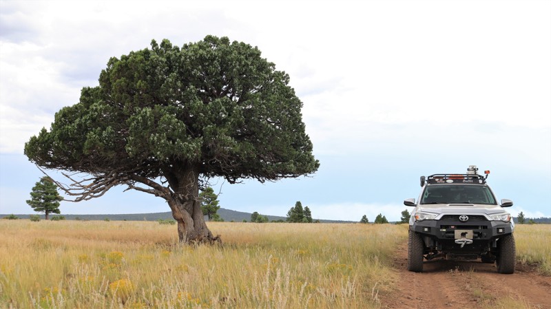
Anderson Mesa lies between the vast Ponderosa pine forests at the edge of the Mogollon Rim and the barren badlands and painted deserts of northeastern Arizona. The topography of vast grasslands with a few scattered trees evokes Africa's Serengeti more than most people's ideas of Arizona. There are no major roads that cross Anderson Mesa. You have to work to get here. It is one of Arizona's most remote and unvisited landscapes. Forest Road 82 is called Anderson Mesa Road by the locals. Anglers and weekend ATV riders use the ends of this southern stretch to reach Long Lake and Kinnikinnick Lake. The lakes, even modest Cow Lake, are wonders in their own right. Elk, pronghorn, and sometimes eagles are drawn to their reliable water sources. The rough, rocky, suspension-crunching middle section seldom sees anyone save a few lonesome ranch hands or extremely dedicated hunters. The tan savannah grasslands periodically give way to thick juniper forests, forcing the trail to twist, split, merge, and meander before opening again to another broad vista. A sudden outcropping of rough boulders forces you to choose a line. You are more likely to see a dozen elk racing across the two-track in front of you than running across another human.
Updated: 08/19/2025
Schultz Pass
Flagstaff, Arizona
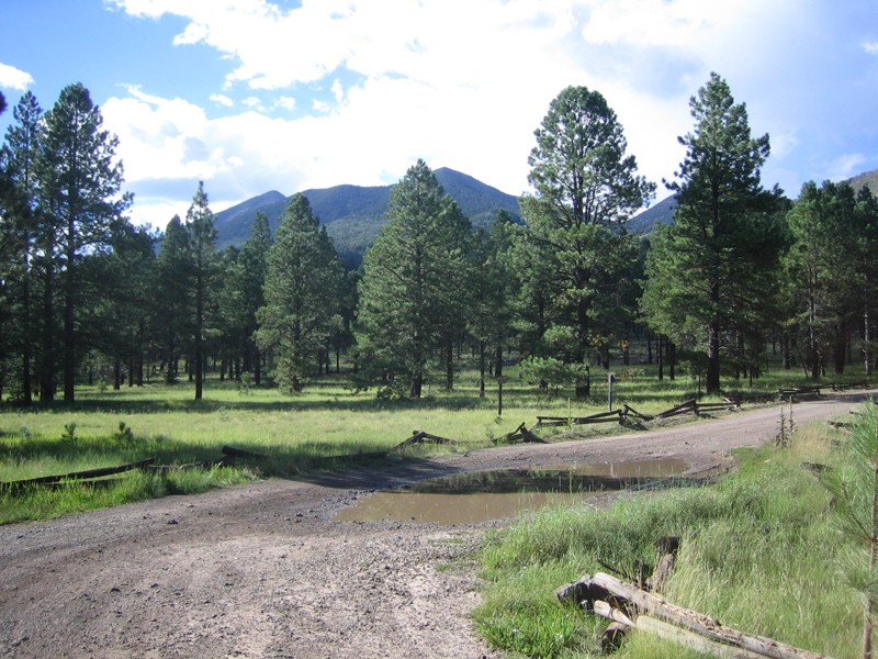
The heavily used western portion of the road over Schultz Pass is a scenic and easy trip up from town to the cool pines between Mount Elden and the San Francisco Peaks. This is your ticket to the top of the excellent Schultz Creek mountain biking trail, and to the trailheads of Sunset Trail, Kachina Trail, and Weatherford Trail, three of the best hikes in alpine Arizona. The dispersed camping is also excellent, although limited to a few locations. Since 2010 the less-used eastern half of the road over Schultz Pass has become a world-class tour in the effects of devastating forest fires and in the work required to restore a landscape after these hot all-consuming blazes.
Updated: 09/15/2026
Martinez Canyon Road
Cochran, Arizona
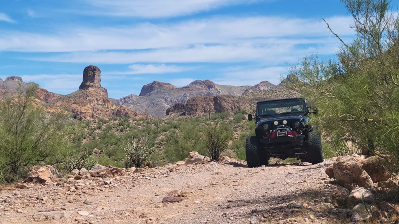
Martinez Road is a challenging connector trail that provides access to the remote southwest region of the Florence, Arizona OHV area. It climbs over a couple of rugged passes, past Tipover Point, and down to the Gila River. The rich mining operations conducted in this area for over a century have made it quite famous. The name of the route comes from the Martinez Cabin and mine, which are a short side trip off this trail. This area is remote and rough; please ensure you are prepared with sufficient water and other necessities.

Updated: 09/16/2026
Verde Hot Springs
Strawberry, Arizona
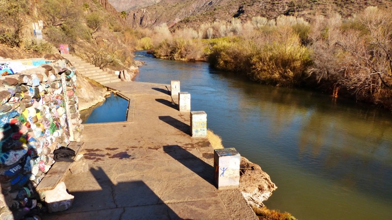
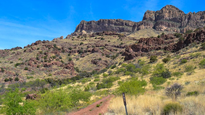
Floyd Williams built the Verde Hot Springs Hotel on the west bank of the Verde River. The resort had several rock and concrete pools fed by the mineral hot springs. One legend has it that Al Capone once visited the Verde Hot Springs. The hotel burned in 1962, but the hot springs and their pools survive. The walls of the enclosed pools are decorated with pretty decent graffiti artwork. There's an abandoned ranch near the hot springs. While vehicles can't reach the river any longer, you are welcome to hike the remaining distance to the river and hot springs. With declining ranching and mining in the area, the roads leading to the hot springs on the west side of the Verde River have either been abandoned or deteriorated. Most maps of the area are outdated and inaccurate.
Updated: 01/19/2024
Jackson Cabin/Muleshoe Ranch Road
Willcox, Arizona
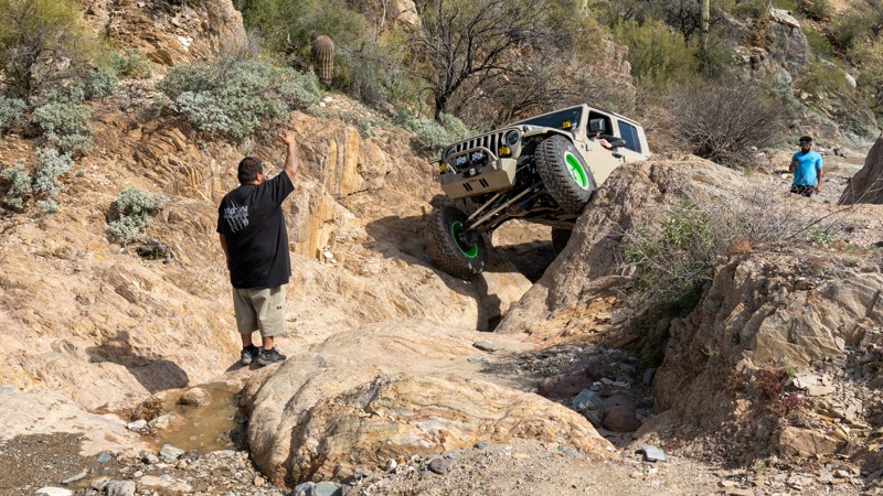
Jackson Cabin / Muleshoe Road is one of those iconic trails for which the reward of the journey rivals that of the destination. The Nature Conservancy maintains the riparian areas at the beginning of the trail and has graciously allowed access to these wonders. You will see amazing views of rock cliff faces, mountain vistas, desert springs, seeps, and abundant plant life where springs have pushed up from below, nourishing abundant wildlife such as coatimundi and deer javelina, and a wide variety of watchable birdlife.
The views of the rhyolite rock formations along the western face of the Galiuro Mountains could very well challenge the scenery experienced in the canyon country of southern Utah. The start of this trail is about 110 miles from Tucson. It's a long day to get to the end, but it's certainly worth it, for the payoff is a 100-plus-year-old cabin teeming with history. Bring your tent, bring your camp stove, bring your ice chest because this is a fabulous place to turn into an overnight adventure. In fact, the position of the sun on the way in (afternoon setting reds) and the way out (morning freshness) completely changes the views and makes this almost two different trips.

Updated: 03/10/2024
Upper Terminator
Open
/
New River, Arizona/
0.89 miles/
About an hour
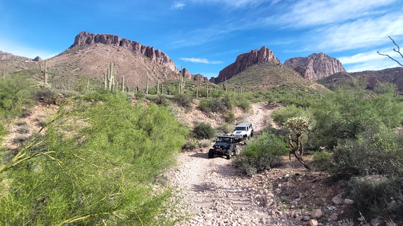
Upper Terminator is a Technical Vehicle route located within the Table Mesa Recreation Area, about 45 minutes north of Phoenix. The trail follows a desert wash and travels over numerous water-chiseled rock obstacles. This challenging trail offers a great mixture of boulders, water, off-camber notches, tight squeezes, and an uncountable number of speed-controlling rock ledges. Upper Terminator is sure to test your mental fortitude and your vehicle's capabilities.
Updated: 09/15/2026
Rincon Road
Cochran, Arizona
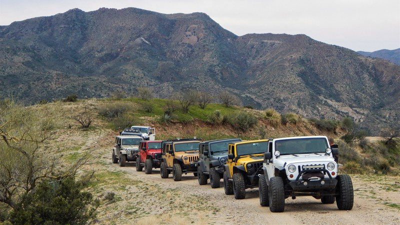
If backcountry desert adventure is your thing, then Rincon Road may be just what you're looking for. It's a little-known route that connects two rugged but beautiful desert regions. While on the route, you'll travel parallel to The Rincon, a cove of mountains to the north and the lush Gila River Valley to the south. When this trail is combined with Walnut Canyon, Martinez Canyon Road, and Box Canyon, you are guaranteed to have an incredible off-road experience.
Rincon Road was used in the late 1800’s into the 1950's for accessing the numerous mining operations in the area, but has since had a rebirth in offering access to the rugged desert for OHV users, hikers, and rock climbers. The region is littered with side trails and canyons offering a lifetime of exploration. This is a remote and seldom-run trail, so please be overprepared for anything that can happen.
Updated: 07/06/2026
Devils Canyon To Pinal Peak
Top-of-the-World, Arizona
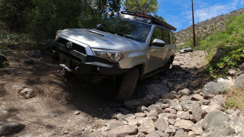
Don't let the hero photo fool you. Bring your A-game for this historic and challenging route up the backside of Pinal Mountain. This track combines numerous trails that travel from the sculpted boulders of Devils Canyon down to Government Spring before climbing narrow ledges up to Pinal Peak. The trail is difficult and remote. Recoveries on this route are very difficult and expensive so ensure you have a modified vehicle with good tires. The trail has numerous rock crawling sections. You need lockers, at least 33" tires, and experience on VERY narrow ledges. This route can take all day. Expect at least 6 hours on the trail.
There are many turns and intersections, so watch the GPX track closely. Once you are down near the creek, please respect the private property boundaries. The steel gate at 33.262886,-110.969537 must not be missed. To the north, Dripping Springs Road is a dead end. Go through the gate to be on the other side of the fence. After this point, there is a VERY narrow ledge. Use caution on this route, and be sure to have a backup. There are a few remote campsites along the route, but the best campsites are at the end in the pine trees.
Updated: 07/17/2024
Copper Canyon
Camp Verde, Arizona
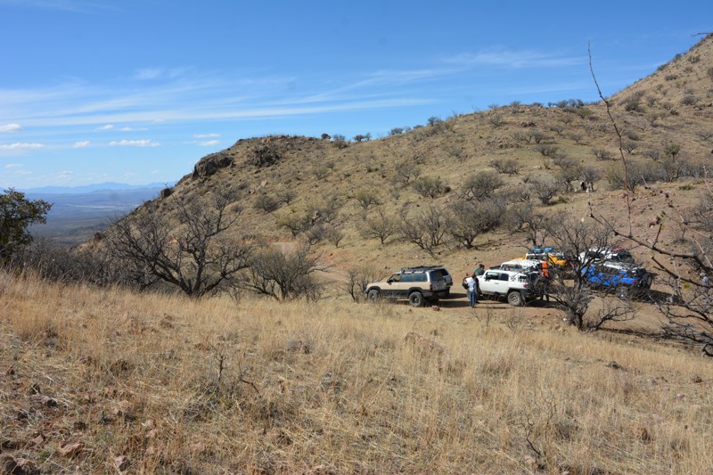
In 1871, General George Crook came to the Arizona Territory with orders to end the conflict between the growing population of settlers and the natives of the area. General Crook immediately realized he needed the ability to move men and supplies quickly through the rough country of central Arizona. By 1872 he had established a pack trail from Fort Apache in the east to Fort Wipple, modern-day Prescott, in the west. By late 1874 the pack trail had been expanded into a wagon road. That wagon road opened central Arizona to exploration, commerce, and settlement. Many of today's roads closely follow General Crook's trail, including Highway 260 from Camp Verde to the Mogollon Rim and the extremely scenic Forest Road 300, known as Rim Road. Copper Canyon is another segment of the famed General Crook Trail. Situated in the Prescott National Forest, Copper Canyon parallels Interstate 17. Its fast-moving traffic can be heard, and sometimes seen, from the rugged trail. The two roads are physically close but light years apart in many ways. The interstate is new, fast, placid, and boring as it descends into the Verde Valley. Copper Canyon is slow, rocky, rugged, and demanding. One can only imagine navigating this trail in a horse or mule-drawn wagon instead of a capable and comfortable modern offroad vehicle. While debating which line to take at one of the many obstacles, take a moment to reflect and remember how this little trail came to be. You are driving history.
Updated: 08/19/2025
Solero & Bull Springs
Patagonia, Arizona
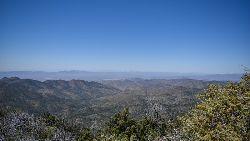
This road will treat you to a visual splendor only found in the Old West. People have been ranching, hunting, mining, and living in these valleys for hundreds of years. The Spanish Jesuit priests mined silver here in the 17th century, and the Apaches ranged far and wide over these canyons, raiding continuously. This overland-type backcountry road with a white-knuckle shelf road will surely inspire you!
Updated: 07/15/2026
Flag Mine Road
Pine Lake, Arizona
Flag Mine Trail is a must for any offroader in the area. This trail is a part of the Arizona Peace Trail, a 650-plus-mile off-highway vehicle trail in western Arizona. The trail follows mountain ridgelines for miles, offering exceptional views and scenery. Flag Mine Road runs in conjunction with the Boriana Mine trail, offering spectacular changes in scenery, from the desert floor with saguaros, Joshua trees, and other cacti to the tops of mountains with tall pines, cool temps, and views for hundreds of miles.
Flag Mine Road runs between Kingman and Yucca, Arizona, just east of the Colorado River. These trails were built for mining and still offer access to many popular destinations, such as Moss Wash and Gold King Mansion. No matter the skill level or trail rig, there are trails in this area for all to enjoy!
Updated: 07/27/2026
White Pocket
One Mile, Arizona
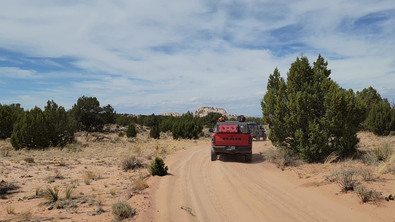
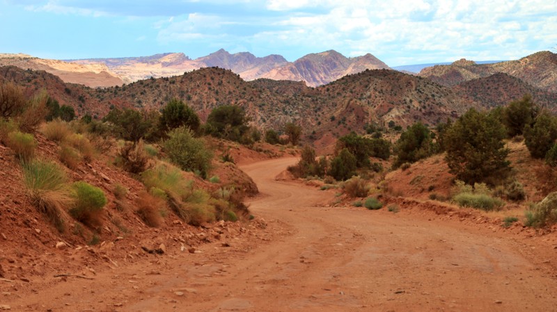
Going north out of the active ranch at Pine Tree Pockets, BLM 1087 and 1086 is the northbound portion of the most popular route to White Pocket, a geological marvel in the middle of the desert! This track has very deep sand. 4WD, not AWD, and lower air pressure are an absolute must. Dispersed camping is available along this route and at the parking lot for White Pocket.
Updated: 06/29/2026
House Rock Road
Paria, Arizona
House Rock road passes through a geologic wonderland. The road follows a canyon formed by the jagged red, buff, umber, and yellow sandstone of the Vermillion Cliffs on the east and the gentle yellow and gray slopes of the Kaibab Plateau monocline on the west. The trail passes:
- The Buckskin Gulch trailhead, which has a vault toilet
- The Wire Pass trailhead serves both the Wire Pass slot canyon and the famous Wave (located in Coyote Buttes North, permit required) and has a vault toilet
- State Line Campground, eight free campsites with covered picnic tables, fire grates, and two vault toilets.
- Northern terminus of the 800-mile Arizona Trail. The trail, which begins at the Mexican border, ends at State Line Campground, which spans the Arizona-Utah border
- Maze Rock Art Site (1.2-mile round trip hike to a petroglyph panel)
- Access to White Pocket and Coyote Buttes South. Coyote Buttes South requires a permit. White Pocket does not.
- California Condor Viewing Site, which has a vault toilet
- Vermillion Cliffs National Monument
Besides State Line Campground, numerous dispersed campsites along House Rock Road and its spur trails exist.
The southern part of House Rock Road has washboards. The northern part of the trail is prone to flash floods and washouts. A 2WD vehicle is adequate in dry conditions.

Updated: 03/02/2024
Kofa Manganese Road
Quartzsite, Arizona
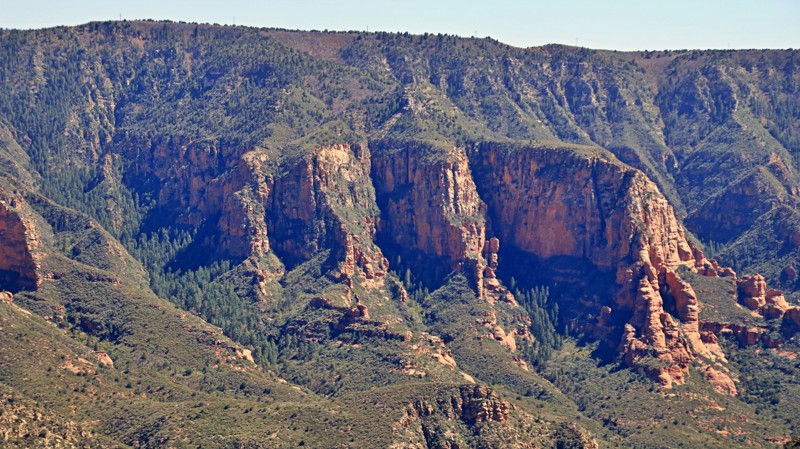
Solitude. Jagged mountain horizons. Dark star-filled skies. Towering saguaro cacti. Broad desert plains. Sandy washes densely lined with ironwood, palo verde, and mesquite. Campfire smoke wafting skyward. Plaintive coyote songs in the night. Kofa Manganese offers all these in abundance. Threading a thin corridor between beautiful wilderness areas of the Kofa National Wildlife Refuge, Kofa Manganese climbs steadily to scenic Red Rock Pass. Squeezed between the ancient Kofa Mountains to the west and the rugged Little Horn Mountains to the east, views from the pass offers are simply astounding. The trail drops quickly after Red Rock Pass and begins weaving in and out of the wide meandering Hoodoo Wash. Leaving Hoodoo Wash, Kofa Manganese traces the edge of the broad Palomas Plain before angling westward towards the Kofa Mountains. Ocotillo cacti thrive in this area and stretch their thorny octopus arms skyward, some impressively over 25 feet tall. Cholla grows in dense gardens, beautifully silver-green in the sunlight. But beware. The thorns will make you say bad words. If you crave a remote wheeling adventure with tons of dramatic scenery, leave the crowds behind and head into southwestern Arizona's vast wilderness on the Kofa Manganese.
Updated: 07/05/2024
Sycamore Point
Williams, Arizona
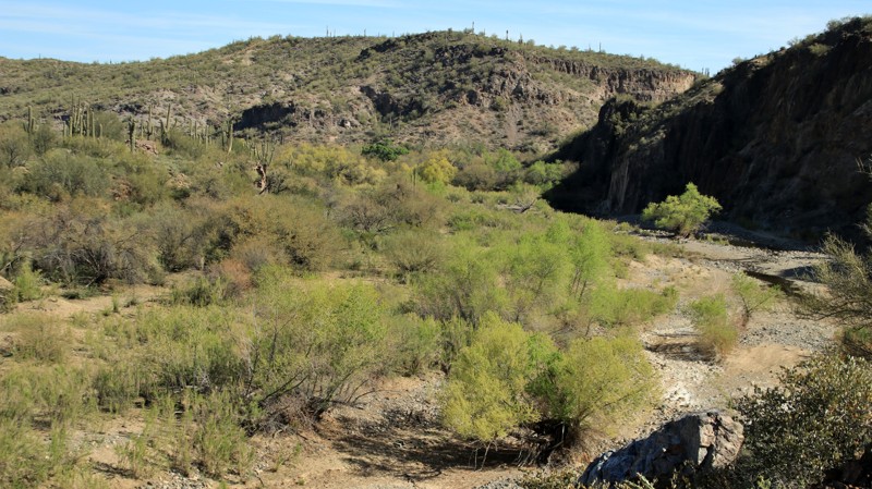
Surrounded by three of Arizona's six National Forests, the Sycamore Canyon Wilderness encompasses 50,000 acres of rugged beauty. With only 15 moderately strenuous hiking trails leading into the wilderness, few people venture into the remote and wild landscape. The canyon cuts into the same pinkish-red sandstone that made Sedona famous. For those who wish for a glimpse into this magnificent canyon wilderness without the travails of a demanding hike, Sycamore Point may be just your ticket. Forest Road 110, known as Sycamore Point for its ultimate destination, is a gem in itself. The trail begins in an almost parklike setting in the tall Ponderosa Pines of the Kaibab National Forest. Here the forest is teasingly open, whispering vague promises of sightings of deer, elk, javelina, foxes, or coyotes if you'll keep an eye peeled. Pairs of ravens regularly patrol the many large inviting campsites, just in case someone left something interesting lying about. The route passes open meadows used as summer livestock grazing by early settlers. Later the wide trail narrows, and you might notice the pines getting shorter. The trail gently drops you down in elevation, transporting you into a grassland dotted with junipers, some young and flush with green foliage and waxy berries. In contrast, others aged and gnarled by winds, harsh winters, and wildfires of the past. Finally, the trail deposits you on the rim of the vast canyon, which, along with its tributary side canyons, forms the Sycamore Canyon Wilderness. From the overlook, rose and coral spires soar on the far opposite canyon wall, catching the afternoon sun. You instinctively know Sedona is just over there somewhere. The normally dry watercourse snakes through the canyon's bottom. The infrequent rains have patiently carved out this huge canyon over a few millennia. Somewhere nearby, a canyon wren sings the cascading downward notes of its distinctive warble. Pack a lunch. You will want to stay here for a while.
Updated: 02/27/2023
Little Grand Canyon
Black Canyon City, Arizona
You know you are grand when everyone wants to be a little version of you. Here in Arizona, we have the Grandest of Canyons and a lot of little ones too. This trail leads you to one of the little ones, but it still doesn't disappoint. Nestled in the heart of the popular 11,400-acre Table Mesa Recreation Area, this short trail passes through a prototypical Sonoran Desert landscape of cacti and palo verde before dramatically unveiling its destination. The end of the trail drops rapidly into the canyon cut by the Agua Fria River. When the afternoon sun hits the canyon walls, the colors of the various layers of stone pop nicely. The canyon's solitude, complete with canyon wren serenades, makes for an idyllic overnight camp. It may be little, but hey, just how much canyon do you really need to be happy?

Updated: 02/25/2024
Kofa Cabin - Jasper Springs
Quartzsite, Arizona
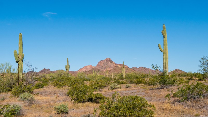
Traveling deep into the Kofa National Wildlife Refuge, you slowly approach a very rugged and mysterious looking mountain range, the Kofa Mountains, from which the Refuge is aptly named. Kofa is a 666,640-acre wildlife refuge in Arizona established in 1939 to preserve the population of desert bighorn sheep and offers miles and miles of overland adventure. This road provides a slow and tantalizing reveal of the Kofa range that instills a sense of inspiring excitement with each glimpse on each turn and rewards you with no letdown but only inspiring views.
Updated: 04/22/2023
Woolsey Peak and Signal Mountain Wilderness Trail
Arlington, Arizona
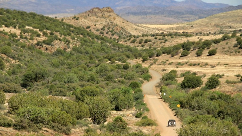
Not far from Phoenix, Arizona, yet remote, rugged, and rare. An offroad trail rarely forms the barrier between two wilderness areas like the aptly named Woolsey Peak and Signal Mountain Wilderness Trail does. The rugged and jagged volcanic landscapes are softened with mesmerizing palo verde, saguaro, ocotillo, and desert grasses. With meandering washes and imposing views of Woolsey Peak and Signal Mountain, you can quickly feel the escape from the city and let the adventure of life begin. Drive this trail for a day, or use it to connect with others for a multi-day overland trip.
Updated: 01/21/2024
Dugas Road
Camp Verde, Arizona
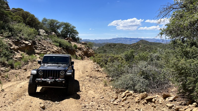
Dugas Road cuts through the geographic center of Arizona and slices deep into the area’s history. The old road passes through rolling high desert grasslands with scattered buttes and peaks, yielding an always interesting vista. Louis Dugas and his son Fred arrived in Arizona via wagon train in 1877. In 1879 they started Dugas Ranch on the banks of Sycamore Creek, a rare reliable water source. Fred began running the ranch at age 13 when Louis opened the Lucky 7 Bar on the famed Whiskey Row in Prescott. By 1925 the area around the ranch had enough residents to warrant a post office, two boarding houses, a blacksmith shop, and a school. By 1938 the population had dwindled, and the post office closed. Today Dugas is still a working ranch with numerous residents. The old town remnants are right beside the road after you cross Little Sycamore Creek, but they are on private property. Feel free to stop and look. Just stay on the road and don’t touch.
Updated: 12/04/2024
Wagoner Road
Walker Place Windmill, Arizona
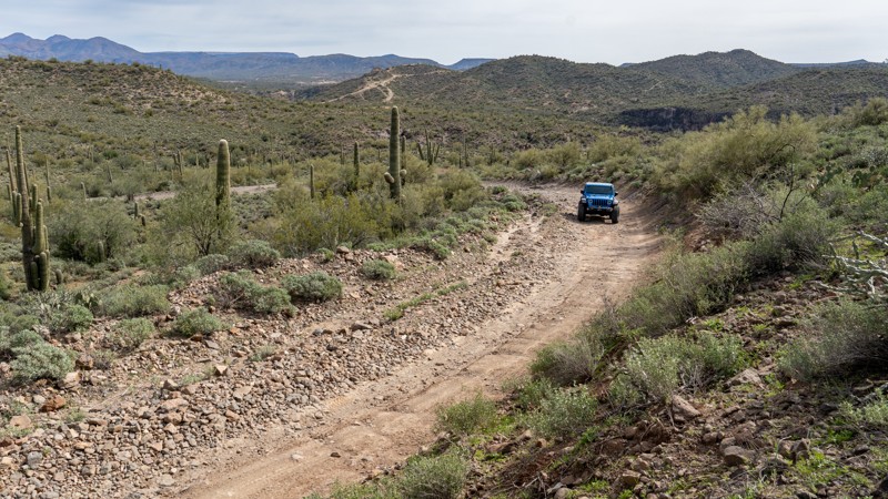
Wagoner Road, FR 362, is a 24-mile route that connects the paved Wagoner Road off State Route 89 near Congress, AZ, to the Senator Highway near Crown King. There are many opportunities for dispersed camping and photography. Many side trails branch off Wagoner Road into the Bradshaw Mountains, begging to be explored. There are numerous active and past mine claims in the area. The route is not technical, however current forest road conditions may present mild challenges to stock vehicles. Two non-county road sections of Wagoner Rd cross Arizona State Trust Land, and an Arizona State Trust Land Recreation Permit should be obtained if you plan to camp on those sections. The western portion of Wagoner Road between SR 89 and the Prescott National Forest boundary crosses Arizona State Trust Land. But, as a county road, it does not require a permit unless you want to camp or explore side trails outside the western border of the Prescott National Forest.
Updated: 02/25/2024
AZCO Mine Road
New River, Arizona
Surrounded by towering saguaro cacti, AZCO Mine Road is a main access point for many exciting trails throughout the BLM's Table Mesa Recreation Area, managed by the BLM's Hassayampa Field Office. This road leads to a wide variety of trails designed to be enjoyed by various outdoor enthusiasts. It includes motorcycles, ATVs, rock crawling, shooting, and hiking areas. The area has excellent dispersed camping, but expect crowds on the weekends.

Updated: 06/23/2024
Kanabownits Road
Fredonia, Arizona
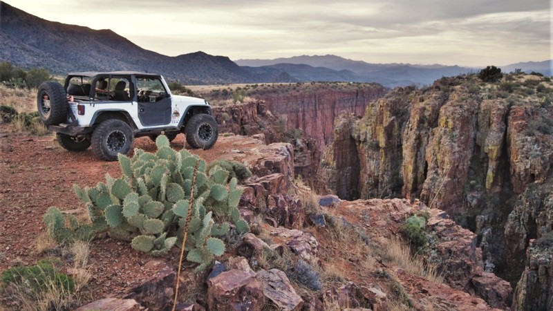
In the late 1870s, Edward Dutton led various geological survey teams deep into what was then the unmapped northern side of the Grand Canyon. He found a long narrow promontory extending far out into the canyon with views he called "most sublime." Today there are only two routes to Dutton's Point Sublime. The first originates at the Grand Canyon's North Rim Village and is appropriately named Point Sublime. The second route comes in from the north and is named Kanabownits for a picturesque spring along the trail. Kanabownits Road passes through a fertile forest with ferns towered over by old-growth Ponderosa pines. Spruce and aspens dot the forest. The tight trail drops into small tight canyons, grips hillsides on narrow shelves, and bursts into open glades fed by springs. Once a ranger lived along the trail watching for wildfires. Today only the small deteriorating cabin remains up a small spur trail. While Point Sublime is the objective of the area, should you choose to enter or depart by the north, Kanabownits Road is a worthy part of the adventure.
Updated: 09/15/2026
Parker Point
Aztec Lodge, Arizona
The Roosevelt Lake region within the Tonto National Forest is an outdoor enthusiast's paradise. There are countless trails that lead you to incredible scenic vistas, but none like the one leading to Parker Point. This trail is a moderate side trip or an excellent camping location for exploring the other area trails. The trail leads you along the normally dry Parker Creek, where a couple of small campsites can be found. Gradually, the canyon begins to come into view as you work your way along, eventually leading out to a breathtaking canyon 800 feet above the Tonto Basin region. You will find a couple of campfire rings along the canyon rim and several vantage points to walk out for photographs.
Updated: 10/20/2023
Milk Ranch Point
Payson, Arizona
Between 15 and 20 million years ago, a geologic uplift created the rugged and dramatic escarpment we now call the Mogollon Rim. The Rim rises 3000 feet above the Sonoran Desert floor below and marks the beginning of the Colorado Plateau. North of Payson, the scenic pine-forested peninsula known as Milk Ranch Point extends south from the Mogollon. Milk Ranch Point is all about great views and wonderful campsites. At just over 7000 feet elevation, summers are downright cool when compared to the desert below. Campsites right on the edge of the Rim offer amazing vistas of jagged sandstone slopes leading down to the country where Zane Grey based his novels. The distant Matazal Mountains form a jagged horizon. Elk bugle in the early evenings. Sightings of deer and wild turkeys are common. Abert's squirrels scamper around the many shaded campsites. Those more adventurous can take the trail all the way to the southern tip of the Point and enjoy an unparalleled view.

Upgrade your Membership
Unlock all of the details on every Trail Guide and Scout Route.
Start a 7-day Free TrialCommunity
Partners

