






By clicking "ACCEPT", you agree to be the terms and conditions of each policy linked to above. You also agree to the storing of cookies on your device to facilitate the operation and functionality of our site, enhance and customize your user experience, and to analyze how our site is used.
Arizona Off-Road Trails
373
Total Trail Guides 359

4679
Detailed Waypoints 676
Try a Free 7-Day Trial and unlock it all
Start a Free Trial Most Recent Trail Reviews
Rated 4/5
Open
Visited: 09/22/2026
Hard pack, easy forest service road that is a great back way to the North Rim of the Grand Canyon.


Tyler D’Hulst
Rated 4/5
Open
Visited: 09/22/2026
Spring Canyon is a beautiful drive. We didn’t go out to the cabin but used this western section of road coming back from Crazy Jug

Tyler D’Hulst
Rated 4/5
Open
Visited: 09/22/2026
We took this out to Crazy Jug. The northern section is hard packed forest service road. Not difficult. Very scenic drive through the ponderosas.

Tyler D’Hulst
Rated 5/5
Open
Visited: 09/22/2026
View point is spectacular! Trail was easy going out, no obstacles at all. Saw a Toyota Camery at the viewpoint.


Tyler D’Hulst
Rated 3/5
Open
Visited: 09/22/2026
An alternative route out to Crazy Jug Point. It’s easy and can be scenic in areas. I’d recommend West Ryan out to Crazy Jug though.
Tyler D’Hulst
Rated 3/5
Open
Visited: 09/22/2026
A quick connector trail through the burn patch.
Tyler D’Hulst
Rated 5/5
Open
Visited: 09/20/2026
Leviathan Mine trail is a full day trip. Though it is only 20 miles in length the travel is slow and rough. Majority of the trail you will be going between 5-10 MPH. Then once at the end it connects w...



Eric Gartin
Official Crew
Rated 4/5
Open
Visited: 09/19/2026
Simple road, well graded today. Many mountain bikers coming down from the West out of Breezy Pines. Not too many people out until approaching Senator Hiway. We went East to West as I think thats a bet...



Jeff Burnett
Rated 3/5
Open
Visited: 09/19/2026
The trail itself is not spectacular, it's pretty flat across the plains. However, driving up to the overlook and seeing a huge gaping hole in the ground is a great juxtaposition to the flat trail. The...
Tyler D’Hulst
Rated 3/5
Open
Visited: 09/19/2026
A nice trail ride from the main road down off the plateau. It's graded forest service road until the switchbacks. The switchbacks themselves are not difficult, road is not graded. This section has bee...
Tyler D’Hulst
Rated 3/5
Open
Visited: 09/18/2026
The end of the trail is not well marked, and can cause confusion. Also, vehicle passes are required for all backcountry routes within the Lake Mead National Recreation Area.
Eric Gartin
Official Crew

Ted Whisler
No Rating
Open
Visited: 09/17/2026
Nice ride west side a little rocky but rating is true to #2


Ted Whisler
Rated 3/5
Open
Visited: 09/15/2026
A nice drop off the plateau heading towards Marble Canyon. Not a difficult road. Road is weathered but not challenging.
Tyler D’Hulst
No Rating
Temporary Closure
Visited: 09/15/2026
Road closed due to multiple washed out wash crossings after the turn off to go up the mountain. "Road Closed" sign put out by BLM on trail.
Tyler D’Hulst
No Rating
Temporary Closure
Visited: 09/15/2026
After the turn off to head up the mountain there are multiple washed out wash crossings. A "Road Closed" sign has been put out by the BLM.
Tyler D’Hulst

Ben Ruddell
Official Crew
Rated 4/5
Open
Visited: 09/14/2026
Bogles Ranch Road is a great Sunday afternoon drive type of dirt road that climbs up in elevation and gives some spectacular views of the surrounding area. The first half passes through State and Priv...


Eric Gartin
Official Crew
Ben Ruddell
Official Crew
Rated 3/5
Open
Visited: 09/14/2026
Antares Road is an excellent way to travel from Route 66 to the eastern portion of the Lake Mead National Recreation Area. This wide county road is well maintained with minor washboarding, most of whi...


Eric Gartin
Official Crew
Rated 3/5
Open
Visited: 09/14/2026
Hackberry road is a wide dirt road with minimal erosion damage and washboarding. There are a couple of larger washes that cross Hackberry road creating wide stretches of loose sand which can cause iss...


Eric Gartin
Official Crew
Rated 3/5
Open
Visited: 09/13/2026
This is a very rough, rocky, & slow going trail. Expect around 4+ hours for the trail & another hour to get the highway. One of those trails I'm happy I did but I wont be back personally. High clearan...

Brandon W
No Rating
Open
Visited: 09/12/2026
I think the rating is spot on. The ruts and washouts at the beginning are not as bad and if you hug the inside of the shelf road they can be avoided. The middle part is same general sandy wash with ov...



Greg Page
Rated 4/5
Open
Visited: 09/11/2026
Ran this trail as part of a larger loop. Trail is in great shape. Easy for standard 4x4 with no lift. Passengers can do it until maybe the very end by the lake where the road gets rocky and washed out...


Jeff Burnett
Rated 5/5
Open
Visited: 09/10/2026
This is one of my favorite scenic trails in the area. The trail is easy to travel, but does have some optional short trails that will test your vehicle. The views from the Grand Wash Cliffs of the Hua...


Eric Gartin
Official Crew
Rated 3/5
Open
Visited: 09/07/2026
This trail by itself is nothing special. It is mostly used as an access road to get to the more technical trail such as Homecourt, Twister, and Waynes World. This is a great trail for the beginner to ...


Eric Gartin
Official Crew
Rated 3/5
Open
Visited: 09/07/2026
This trail is an enjoyable alternate route when traveling on Blake Ranch Road (7163). The trail is easy with only a handful of spots with erosion damage. The few established camping sites appear to n...


Eric Gartin
Official Crew
Rated 5/5
Open
Visited: 09/07/2026
Ran this trail from Boynton Pass Road to Loy Butte Road (opposite direction from what is listed). Ran into a few rental ATVs and a couple of Jeeps heading the opposite way. This was a fun trail wit...



Daniel Macioce
Rated 5/5
Open
Visited: 09/07/2026
This trail was a lot of fun, plus the views were amazing. I ran the trail in the order posted, starting at the south trailhead and finishing at the heritage site. Past a motorcycle, a few jeeps and a...


Daniel Macioce
Rated 4/5
Open
Visited: 09/07/2026
Nice trail, ran West to East. For some reason the map shows this a a one-way trial, East to West. That is not the case, it is a two way trail. Was pretty washed out starting around mile 12. Plenty roc...


Jeff Burnett
No Rating
Open
Visited: 09/06/2026
New trail for me. You didn’t know what it would throw at you around every corner which is why you try to find new trails or old forgotten ones
KB
Kory Burden
Rated 5/5
Open
Visited: 09/06/2026
The trail is no joke—steep, narrow, and technical enough that you’ll want to be comfortable with off-camber shelf roads, rocky terrain, and washouts that will test your vehicles articulation. The rew...



Bobby Rumbaugh
Official Crew
Rated 5/5
Open
Visited: 09/06/2026
Fun trail if you don't want to do pyeatt draw itself. Ran this trail 3yrs ago and definitely a little more erosion but, still any truck or suv with good factory ground clearance can do it. From previo...
JM
James m
Rated 4/5
Open
Visited: 09/06/2026
Ran this trail from I-17 to Sedona. Extraordinary views descending into Sedona. As others have noted, there are lots of rock on the trail, making it slow going. Passed a large number of Pink Jeeps ...


Daniel Macioce
Rated 4/5
Open
Visited: 09/05/2026
This one definitely changed over the last few years. The southern section has some legit, steep, off-camber sections. YOU NEED experience, backup, and a capable vehicle on this one now. It's not supe...


.jpg)
Bobby Nelson
Official Crew
Rated 4/5
Open
Visited: 09/05/2026
Another amazing time on this scenic crossover. We came in from Walnut Canyon and finished out on Price Road after about 6 hours. A challenging and hot day for the old TJ. Rincon Road has evolved into ...


Bobby Nelson
Official Crew
Rated 4/5
Open
Visited: 09/05/2026
We started exactly at sunrise to try and beat the heat. We planned to crossover to Box Canyon and out on Price Road. It ended up taking us 6 hours, even with all the photos and filming we did. A chall...


Bobby Nelson
Official Crew
Rated 5/5
Open
Visited: 09/04/2026
We recently ran Four Peaks after the monsoon rains. Here’s what we found and what to expect if you’re planning to run it. Have a GR8 day!

Jeep 4 Dirt
Rated 5/5
Open
Visited: 09/04/2026
Breathtaking views. Definitely don't rush through the trail. Devil's staircase was a bit slippery but awesome. A few tight stops here and there, but a trail that's a must on anyone's to do list.



Christopher Bradley
Rated 4/5
Open
Visited: 08/30/2026
Id say this is a 3.5 to 4 trail. There are some obstacles, but nothing you really need to think hard about how to approach. If you send your vehicle at it in 4 low you'll get through everything.



Justin Holsinger
Rated 4/5
Open
Visited: 08/28/2026
Rim Road (FS300) West to East. Very well groomed gravel forest road. Accessible by just about any vehicle thats not been lowered. Who does that anyway? Scenic views the whole route. Hard to believe on...


Jeff Burnett
Rated 4/5
Open
Visited: 08/28/2026
Not a bad road but it was crowded with sxs and vehicles towing campers. Hard to rate 5 stars for a busy road. Super easy any vehicle can do this. Part is paved near the freeway but the rest is gravel.

Tony Rockwell
Rated 4/5
Open
Visited: 08/28/2026
I rated 4 stars just due to the volume of sxs & camper trailers on the road.
Easy drive, any car can do this.
Ran from sheep springs to munds park, see other reviews for full route.

Tony Rockwell
Rated 4/5
Open
Visited: 08/28/2026
I ran Bar M in reverse to get to this trail. Then headed toward Casner Park Road. (See reviews I did on each of those)
Nice easy trail that is less rough than Bar M.
Nice drive through trees.


Tony Rockwell
Rated 5/5
Open
Visited: 08/28/2026
Very bumpy due to rock infused trail. A few larger rocks, 8-12” tall in places but most stock 4x4’s should be able to navigate around or over them. I would say any 4x4 with all terrain tires could nav...


Tony Rockwell
Rated 3/5
Open
Visited: 08/27/2026
Overall decent little trail; camped out near Committee Tank (not suitable for tent camping - too rocky). Nothing too technical but enough to keep things interesting. High clearance and good line choi...


Bill Ferguson
Rated 3/5
Open
Visited: 08/27/2026
Connector from FS801 (Rock Garden Loop) to FS09494F (Committee Tank Trail); yeah, it lives up to its namesake. Very rocky. High clearance and picking good lines are an absolute must. Car camped at...

Bill Ferguson
Rated 5/5
Open
Visited: 08/27/2026
Nice trail saw some deer it’s a little rough but overall was easy


M
Maddox
Rated 5/5
Open
Visited: 08/23/2026
Great little adventure for the day. Dirt road is pretty rutted up due to monsoons, but easily drivable. Lake itself is extremely low.
LL
Larry Lapp
Rated 4/5
Open
Visited: 08/22/2026
A fun side trip that has a steep hill climb. Due to recent rains, the wildflowers were blooming.


Bobby Rumbaugh
Official Crew
Most Popular

Updated: 05/27/2024
Whitmore Overlook
Saint George, Arizona
Located in the remote and mostly uninhabited Arizona Strip, Whitmore Overlook is an iconic Overlanding destination. The trail ends at an uber-impressive viewpoint 500 feet above the Colorado River as it snakes through the western end of the Grand Canyon. The ambitious can hike down to the river. But most will be content to sit on the cliff's edge admiring the scenery and possibly seeing a group of river rafters passing below. While the end of the trail is a worthy destination, getting there is special too. The trail begins at the historic Mount Trumbull Schoolhouse. Constructed in 1922, the schoolhouse was the civic focal point for the hardy residents of the area until 1966. Today it houses artifacts and photographs of the era. Passing through a pinion-juniper forest, every curve on the trail presents a new and impressive view of the Uinkaret Mountains to the east and the Whitmore Plateau and flat-topped 6,500-foot Grassy Mountain to the west. The sandstone cliffs glow in a rainbow of reds, oranges, pinks, grays, and white. Traveling farther south, ominous dark lava flows spill over the sandstone heights. Part of the Uinkaret Volcanic Field, the lava flows range from 850,000 to 72,000 years old. Uinkaret flows dammed the Colorado River at least 17 times, forming a lake that spanned back to the present-day Phantom Ranch. Each time the river overflowed the dams. The silt-laden water of the Colorado River eroded the basalt dams allowing the river to return to its voyage to the Gulf of California. From the Whitmore Overlook, you can see the remains of one of the lava dams across the river. The climax of the trail is obviously a night spent under the stars on the edge of a cliff above the mighty Colorado. With no light pollution, the night sky comes alive with a blanket of twinkling billions of stars and galaxies overhead. Sunrise and sunset views are nearly unparalleled. It's worth the trip.
Updated: 05/25/2024
Cliffhanger
Sedona, Arizona
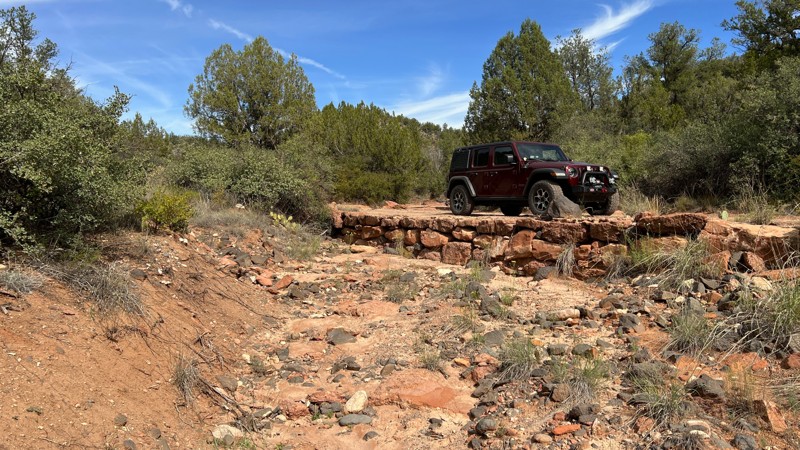
Sedona is a fantastic destination for offroad enthusiasts. It offers a variety of trails with varying degrees of difficulty. One of the top 10 iconic 4x4 trails in Sedona is the Cliffhanger Trail, which has a name that instills curiosity and intrigue. Once you make your way down the narrow and suspension-banging Cliffhanger hill, you will want to take a 1/2-mile hike to the old homestead along Oak Creek and dip your feet in the water. Remember to bring your hiking shoes, as the hike back to your vehicle will be a bit of a climb.
Apart from the offroad trails in Sedona, the Coconino National Forest extends to Flagstaff, offering endless trails in the pine forests that reach up to 7,000 feet in elevation at the top of the Mogollon Rim. It is a perfect escape from the summer heat in the Verde Valley.
Sedona has over 200 hiking trails covering more than 400 miles, providing plenty of options for hikers. You can venture deep into the wilderness of Red Rock Secret Mountain or Sycamore Canyon or explore the urban trails just a stone's throw away from downtown Sedona.
If you are interested in history, Sedona is home to several ancient ruin sites where you can glimpse life in cliff dwellings dating back to AD 1150 - 1350. Honanki, located at the end of the Outlaw Trail, and Palatki, just down Loy Butte Road, are two such sites.
Updated: 04/12/2024
Bartlett Powerline
Fountain Hills, Arizona
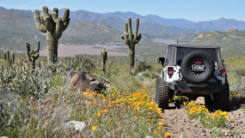
The very scenic Bartlett Lake power line trail offers 4x4 users access to the sandy coves located along the eastern shore of the Bartlett Reservoir. The trail follows the large SRP power line towers from the small town of Sunflower far below to the Verde River and Bartlett Dam. The trail has several very scenic vistas and an abundance of epic campsites right along the edge of the trail. Along the route, there are some interesting sandstone formations that make for nice lunch spots or camping locations.
Updated: 04/01/2025
Rolls 1863
Mesa, Arizona
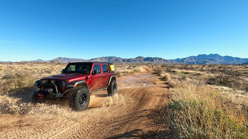
The Rolls OHV Area is located just outside the Phoenix Valley, in Tonto National Forest, and covers 27,000 acres. It features 65 miles of varied-width trails, offering breathtaking views and hiking trails around the Four Peaks, along with camping, fishing, and water sports at the back coves of Saguaro Lake.
Many of the trails in The Rolls are suitable for stock 4x4 vehicles. This trail provides an opportunity to explore the narrow canyons of the region.
This area is popular among those who enjoy riding ATVs and dirt bikes because of the sandy washes and winding canyons. You can spend a weekend exploring the region and camp at one of the coves located on Saguaro Lake. Alternatively, you can follow one of the routes leading north to the Four Peaks region and enjoy spectacular panoramas before returning to the coves for dinner and a bonfire on the shoreline.
Updated: 10/28/2023
Ghost Town Loop
Patagonia, Arizona
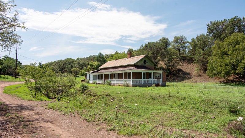
The Ghost town loop is one of the most iconic and scenic day trips in Southern Arizona. If you love history, and really want to get a feel for what the old west must have been like, this is the trail for you. The 45-mile loop road travels through five ghost towns in various states of preservation with marvelous riparian areas, flowing grasslands, and scenic mountain vistas.
If you are looking for some free camping, this overland route does not disappoint. There are numerous roadside dispersed camping spots with plenty of shade. Some are creekside and others near historic spots.
The area has been rich in history from the time of the Civil War when Lt. Mowry sold bullets to the Confederacy to the 1970s when hippies in Harshaw defied the US Forest service who wanted them out.
For a short description of the history to be found out on this loop, print this and bring it with you: Ghost Town Loop History
Updated: 06/22/2024
Horseshoe Lake
Cave Creek, Arizona
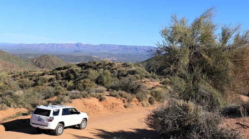
Water in the desert means life. The beautiful and wild Verde River flows 170 miles through the center of Arizona before emptying into the Salt River. Two dams create broad lakes near the river's southern terminus, the first being Horseshoe Dam. Less crowded than the lower Bartlett Lake, Horseshoe Lake offers boating, kayaking, fishing, camping, wildlife watching, broad desert vistas, and quiet relaxation, The sandy saguaro-lined road to Horseshoe Lake passes below St. Clair Mountain on its descent through the rugged Tonto National Forest into the Verde River's deep valley and then on the lake. Numerous trails branch off for those looking for some adventurous wheeling. The K A Ranch appears wonderfully bucolic on the eastern bank of the river. Easy access to the Verde River below the dam offers fishing and dispersed camping opportunities. Numerous species of catfish, crappie, and bass, along with bluegills and carp, are plentiful. Anglers may find themselves competing with bald eagles who frequently fish the river and lake. The trail ends at a boat ramp often used as a takeout for kayakers coming down the Verde as well as those wishing to troll the lake. Be sure to take the short detour to visit the dam and Catfish Point, a great place to watch the river's precious water cascading from the dam's spillway.
Updated: 05/08/2024
Casner Mountain Trail
Sedona, Arizona
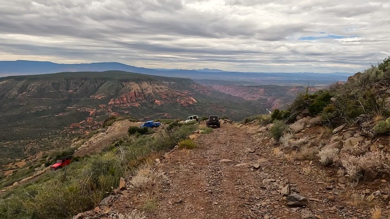
Casner Mountain Trail runs between the Sycamore Canyon Wilderness and the Red Rock Secret Mountain Wilderness. It is an exceptional vantage point for viewing the Red Rock Country. The Sedona region is widely known for its natural beauty, and the Casner Mountain Trail, which reaches an altitude of 6,821 feet, offers a unique perspective that few people have experienced. Although the narrow and twisting switchbacks, sheer cliff shelf road, and steep hill climbs can be challenging, it is worth taking a break to appreciate the stunning views of the Sycamore Basin to the west and Mooney Canyon to the east.
With advanced planning, you can spend a day or two exploring the most famous offroad trails in the Sedona area. The next day, you can climb the Casner Mountain Trail to reach the top of the rim and then explore the extensive network of trails in the upper Coconino National Forest.
Updated: 05/02/2024
FR 153A
Sedona, Arizona
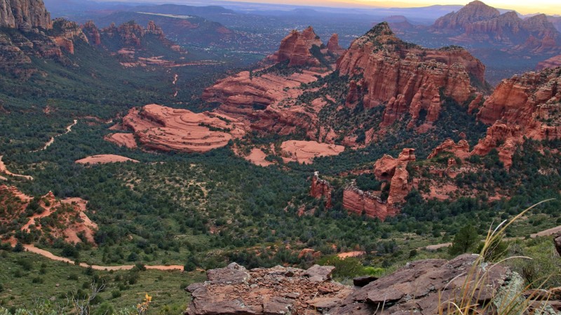
FR 153A is an exciting drive that gets you away from the Sedona crowds. That alone is reason enough to give it a try. However, the true worth of this short trail lies in its first mile, which runs along the dramatic edge of the Mogollon Rim, the geological feature that gave birth to the red rock geology that made Sedona famous. That one mile of eye-popping scenery is unforgettable. Even better is the handful of campsites perched right on the edge of the Rim, each with those imagination-defying views. But FR 153A guards her precious scenic and camp jewels jealously. The road to these epic sites is pure rock, and we aren't talking slick rock either. Plenty rough enough to turn away the faint of heart, the crowds never venture to these little-known edge-of-the-world gems. That just means the worthy can sit on the 1000' edge of the cliff sipping a beverage and watching the ant-like traffic crawl along Schnebly Hill Road below as sunset glistens off the enormous red rock formations below. And the next morning, you can crawl out of your sleeping bag and treat yourself to the sunrise view after a walk of only a few feet.
Updated: 07/02/2024
Queen Creek Canyon
Superior, Arizona
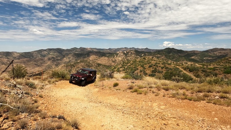
Situated at the southern end of the Tonto National Forest and close to a myriad of other OHV trails, Queen Creek Canyon shouldn't be missed. The scenery along this trail is breathtaking! The thrill of riding along the ridgeline and shelf road keeps you holding tightly onto your steering wheel as you look in amazement out the windshield at the mountain peaks and low desert valley in front of you.
Right out of the gate, you are fully immersed in the challenges of this trail. A steep hill descends the mountainside and immediately climbs back out as you go up, over, and around the rugged landscape. The trail peaks at over 5,200 feet, a solid climb from the desert floor.
This trail is less traveled than the three trails that make up the Montana Mountain Loop: Hewitt Canyon Road, Rogers Trough, and Happy Camp Road. With the significant amount of camping in this area, adding Queen Creek Canyon can make for a great weekend trip.

Updated: 06/02/2024
Toroweap
Fredonia, Arizona
You've undoubtedly seen the photographs though you might not have known where they were taken. The dramatic sandstone cliff dropping 3000 feet straight down to the Colorado River below is an iconic image. The location is the Toroweap Overlook. It sits in one of the most remote areas of Arizona, the Arizona Strip. Toroweap and Tuweep are used interchangeably. Both are derivations of a Paiute word meaning dry, barren valley. The long drive to Toroweap bears out the applicability of the name. But even barren locals can be dramatically beautiful. Multihued sandstone cliffs rise on either side of the Paiute's barren valley. To the south lies cinder cones and lava flows from the ancient Uinkaret Volcanic Field. Long views abound as the road descends towards the canyon cut by the Colorado River, the grandest canyon of them all. Walking to the edge of the Toroweap Overlook is a profound experience. The views are breathtaking. The immenseness of your surroundings is almost incomprehensible in human terms. The view here is like no other along the entire Grand Canyon. You have to work to get here, but it's worth the effort.
In an effort to manage the number of visitors to the area, all motor vehicles entering the Toroweap area of the Grand Canyon National Park require a backcountry permit or a day-use ticket available through Recreation.gov.
Updated: 06/19/2024
Haigler Creek
Young, Arizona
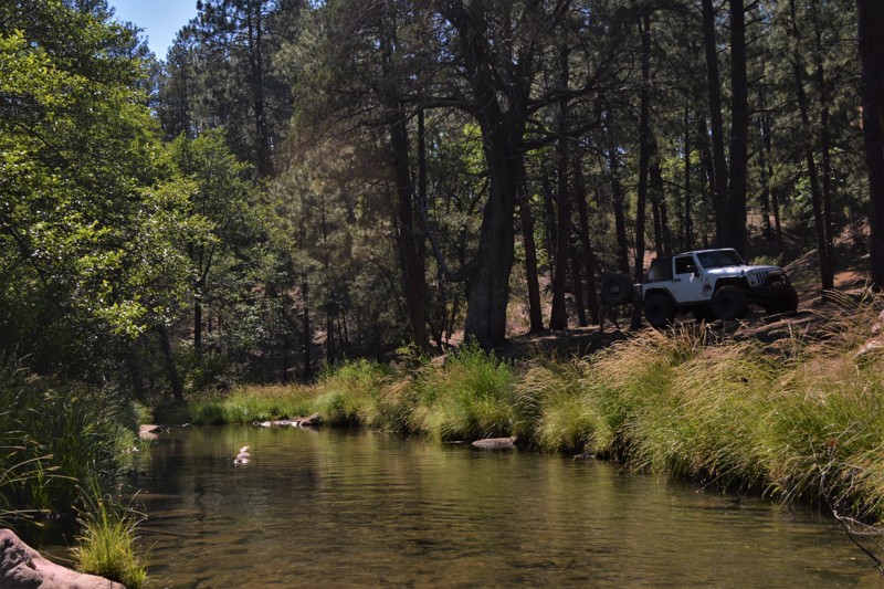
Arizona does not have many places that offer a chance to enjoy a year-round, natural mountain stream. Located just a little north of Payson, the Tonto National Forest has a hidden gem for 4x4 enthusiasts. During the summer months, the crystal clear water offers a welcome reprieve from the desert heat while offering a perfect staging point for exploring hundreds of miles of nearby trails.
If you get there early enough, you can grab one of the limited camping spots located right on the creek. This trail may not be well known, but it is certainly popular with people visiting there for decades. The creek offers fishing for trout and a wonderful wet canyon hike to Colcord Falls, located upstream about 1/2 mile east of the camping area. The waterfall is by far one of the best-preserved swim holes in the entire state. The waterfall isn't always running, but with the heavy snows in 2016 and rains in 2017, the region has had plenty of moisture to keep the falls running all year. It's an easy hike through a narrow wet canyon with a couple of hidden springs to look for along the way.

Updated: 03/10/2024
Lower Terminator
Open
/
New River, Arizona/
0.63 miles/
About an hour
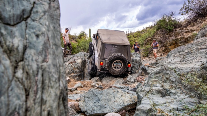
Lower Terminator is a short Technical Vehicle route located within the Table Mesa Recreation Area about 45 minutes north of Phoenix. This popular rock crawling trail follows a rocky wash and offers numerous challenges as you attempt huge obstacles, maneuver tight turns, and climb jagged ledges with steep drop-offs. Lower Terminator is an exceptionally rewarding driving experience where any vehicle can find a route that will push the vehicle to its mechanical limits.
Updated: 04/27/2024
Apache Land Trail
Queen Valley, Arizona
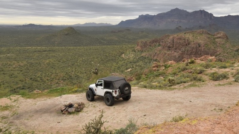
Located near the small community of Queen Valley, there are numerous OHV trails that lead to all kinds of old foundations, stretches of road and other remnants of times past. This particular route travels past a once-popular group camping area and an abandoned quarry. The camping is really easy to access from the highway, yet far enough away to not disturb you during the night. Wonderful, wide-open campsites for groups or just a solo night under the stars, just minutes off the highway.
Along the route, you'll be treated to spectacular vistas of the surrounding Superstition Mountains, endless varieties of cactus and if you time it right, the desert flower bloom. As you work your way north, the dramatic southern peaks of the Superstitions fill your windshield. You can take the short but challenging side trip up to the top of the old quarry for a very unique view of the east valley of Phoenix, Arizona.
Updated: 04/15/2024
Smasher Canyon
Clarkdale, Arizona
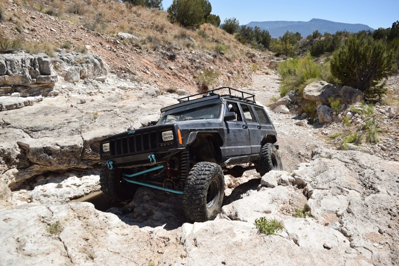
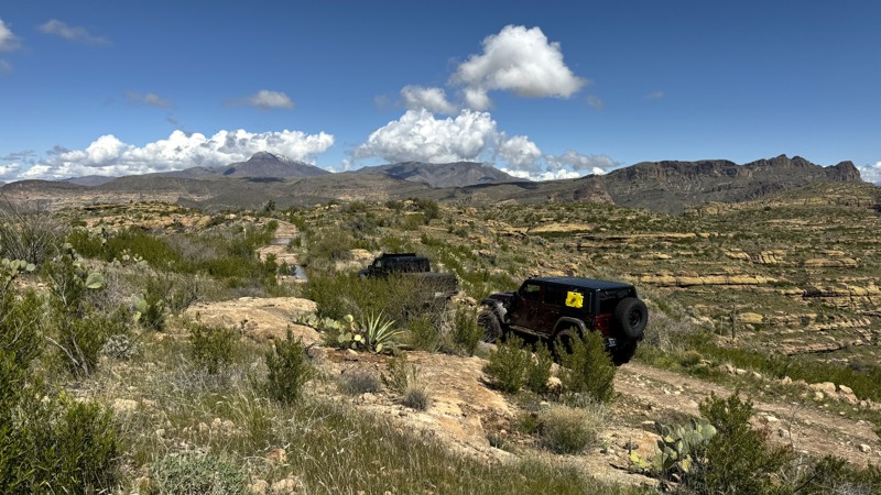
With a name like Smasher Canyon, you have to expect it to have its challenges. Well, this one does not disappoint. Smasher is a popular rock crawling trail in the high desert of central Arizona near the small town of Clarkdale. Be prepared because it offers an incredible challenge for even the best-built vehicles. The white stone ledges and large boulders really push you and your rig to the limit. The ledges and boulders that are found throughout the entire trail average 2 feet tall and require a good spotter to keep from being high centered all the time. The difficulty also goes up because the trail doesn't have any by-passes. So get ready for a long day on the rocks and bring your A-game for this one.
Updated: 04/29/2024
Tortilla Ranch
Apache Junction, Arizona
The Tortilla Flat region in the Superstition Wilderness is known for its challenging and isolated hiking trails. If you want to explore this rugged area, the Tortilla Ranch Trail is an excellent option. The trail takes you further into the remote wilderness, where you can set up a serene and stunning campsite after a long day of hiking.
History seekers enjoy exploring the remains of the Tortilla Ranch. Situated along Tortilla Creek, an old rock cistern, well, fallen windmill, concrete pad, and watering trough are remnants of days gone by.
Hiking trail JF 106 is named for John "Jack" Fraser, who owned the JF Ranch in Fraser Canyon and eventually took over the Reavis Ranch property in 1896.

Updated: 11/11/2023
Happy Camp
Superior, Arizona
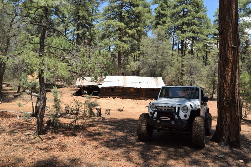
Happy Camp is the third section of the popular Montana Mountain Loop. Winding along the border of the Superstition Wilderness deep within the Tonto National Forest Hewitt Station OHV area, Happy Camp is a fantastic trail for the scenery alone. The Montana Mountain Loop could easily be a weekend trip with the many campsites along the trail.
Newer offroaders can cut their teeth and build their confidence on Happy Camp with a few off-camber situations, shelf roads, minor rock obstacles, switchbacks, potential water crossings, and feeling very remote.
Happy Camp provides access to over 170 miles of networked hiking trails deep into the Superstition Wilderness. The Arizona Trail crosses Happy Camp Road at three different points. It is an 800-mile hiking trail traversing Arizona from the Mexico border to Utah. The crossings are part of Passage 18, Reavis Canyon, which runs from Picketpost Trailhead to Rogers Trough Trailhead.
Updated: 06/04/2024
Dupont Cabin
Tonto Basin, Arizona
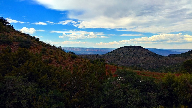
Tonto National Forest outside of Phoenix, AZ offers some of the best opportunities in the nation for a true backcountry 4x4 overland adventure. FR236 is a gateway to this type of experience. The trail provides stunning vistas of the Tonto Basin and Four Peaks Region. The trail has a stop at the iconic Dupont Cabin an old ranch house where you can get a glimpse of what frontier life used to be like.
Several primitive campsites have beautiful views of the surrounding canyons. The trail can be a challenge for stock 4x4s because of the loose steep climb along the ledge road. Even experienced drivers will be challenged on this route. But the rewards are when you get to the top and can see for miles in all directions. Once on top, tall ponderosa pines provide some much-needed shade during summer months.
Updated: 07/05/2024
Jerome-Perkinsville Road
Chino Valley, Arizona
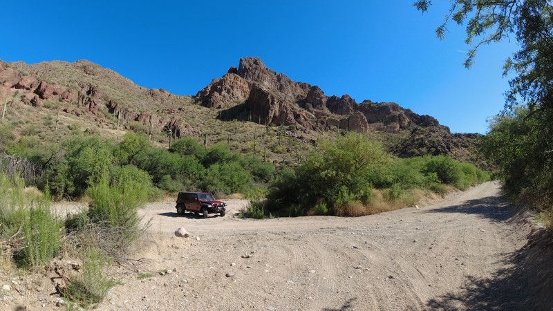
The Jerome-Perkinsville Road provides amazing views of the Mogollon Rim, the striking colors of Red Rock Country, and the rolling desert hills just east of Chino Valley. You also drive alongside the Woodchute Mountain Wilderness Area on the southern portion of this trail. To the north are Perkinsville and the Verde River. From there, you can continue further north to Williams or west to Chino.
Updated: 12/30/2023
Hewitt Canyon Road
Superior, Arizona
Hewitt Canyon Trail, Forest Road 172, is located in the Hewitt Station OHV area of Tonto National Forest. This is a popular area for hiking, dispersed camping, and offroad driving.
The beginning of the trail will take you across Queen Creek Wash. Have your camera ready. Hewitt Canyon treats visitors with towering rock cliffs and buttes. With a good eye, you can spot Elephant Arch, a natural rock arch resembling an elephant's head and trunk.
Further along the trail is a selection of dispersed camping sites, an old cattle coral with a windmill, and a rock water catchment. While the trail ends at the Woodbury Hiking Trailhead, Hewitt Canyon can be combined with several others to create the Montana Mountain Loop.

Updated: 03/29/2024
Sandman Road
Florence, Arizona
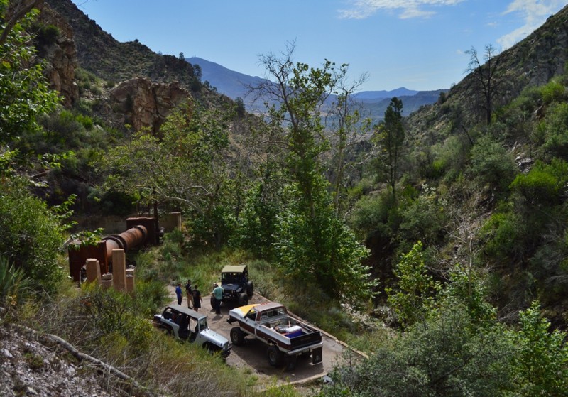
Located a short distance east of Florence and just outside the Phoenix Metro area, Sandman Road offers incredibly beautiful views of the Sonoran Desert and the Mineral Mountains. Travel through fields of teddy bear cholla and towering saguaro as you crest picturesque ridgelines that overlook miles of connecting OHV trails. Sandman Road should be near the top of your adventure list whether you are looking for a beginner offroad trail that's more than just a dirt road or looking to photograph amazing scenery.
Updated: 06/04/2024
Sunflower Mine Loop
Fountain Hills, Arizona
Sunflower Mine Trail combines several trails for a great day in the Arizona desert. The trail works through a lush and rocky canyon leading to Sunflower Mine, also known as the National Mine. It operated from 1913-1965, mainly producing Cinnabar, used in the production of mercury and the extraction of gold. The mine also had smaller amounts of gold and silver before closing for good in 1985. The ruins at the mine used to be much larger than they are now. In 2014 most of the structures were removed, leaving only a tiny portion of the actual operation.
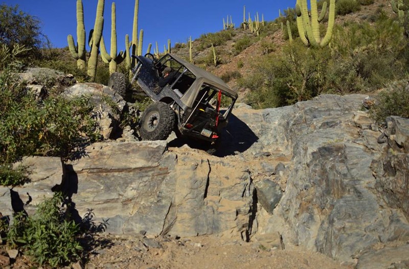
The real draw is the trail itself. It offers welcome shade while you're rock-crawling your way through Sycamore Wash. You get to push yourself and your vehicle with numerous optional obstacles along the way. The shelf roads may be narrow, but they offer incredible views of the surrounding canyons. Pack for an all-day trip because this trail might surprise you!
ATTENTION: The bridge at Waypoint 6 is scheduled for closure or repairs. Use at your own risk.
Updated: 04/05/2024
Highway To Hell
Florence, Arizona
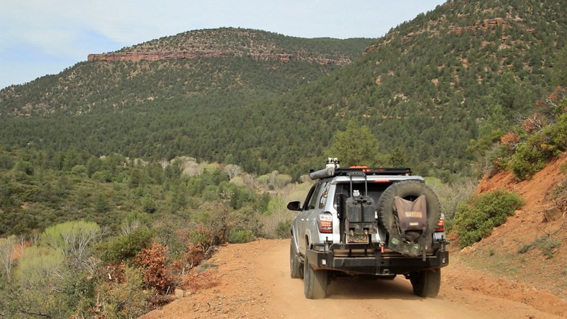
This is one of Arizona's best legal rock crawling trails. Highway To Hell is technically 1.1 miles long, but can take a few hours to complete. This trail is HARD and has a high potential for body damage and breakage. There are a few tall and very rocky waterfall obstacles along the route that keep things very interesting. This trail will challenge even highly modified vehicles. Please be aware there are many active mining claims in the area that are considered out of bounds and should not be entered. The entire region is also home to many herds of cattle that can often pop up around a blind corner. As with all trails, proceed with caution in these areas. The trail has many hazards along the way, including the typical desert predators so please be cautious when outside the vehicle. Strap in for this trail, it will test your limits!
Updated: 07/04/2024
Crackerjack
Payson, Arizona
In his 1859 novel, A Tale of Two Cities, Charles Dickens compared London and Paris and spawned the phrase, "it was the best of times, it was the worst of times." Crackerjack is like that. The best of times comes early on Crackerjack. The winding trail passes through juniper, pinion, and sycamore forests, broken at intervals by towering grey and red stone bluffs. Campsites sit near the broad dirt road. A concrete bridge set just at water level with no side railings eases you across the humorously splashy East Verde River, lots of places to picnic or camp nearby. Someone's tow strap became a rope swing over a deeper pool. If your windows are down, you'll likely hear laughter, and smell someone's barbeque grill. The trail climbs along the river's canyon's northern wall, offering glimpses down into the river's rocky course, passing its namesake mine along the way. And then, after the intersection with Cedar Flat, Crackerjack's mood changes. The best gives way to the worst. Turning away from the picturesque river, the trail tightens on itself, snakes uphill, begins to make your suspension groan, and tosses passengers and loose cargo from side to side. There is little space between the bowling ball-sized embedded rocks. Rock shelves barricade the passage at intervals. It seems never to end. But it does. Just as in Dickens' novel, there is redemption at the end. And satisfaction, too. It was the best of roads. It was the worst of roads. But now you are through both.

Updated: 12/03/2024
Telegraph Canyon Road
Superior, Arizona
Telegraph Canyon Road is a scenic day ride weaving through the rugged beauty of Arizona's Mineral Mountain Mining District. Starting near the historic town of Superior, the trail meanders southwest, offering breathtaking views of iconic landmarks like Picketpost Mountain, Weaver’s Needle, Apache Leap, and the Superstition Wilderness. It intersects with the famed Arizona Trail before concluding at the intriguing Ajax Mine, a site steeped in history and frontier drama.
The Ajax Mine, established in 1915, was once rich in lead and zinc ore, estimated at 20,000 tons by its original operator, B.D. Johnson. Ownership disputes and legal battles defined its turbulent past, including a notorious eviction of the Wallace brothers in 1926. Despite being listed for sale in the 1940s, disagreements among heirs left it idle, with its asking price of $45,000 and unique no-down-payment terms never fulfilled. Visitors can explore its impressive remnants but should use extreme caution as you are likely to encounter open, vertical shafts.

Upgrade your Membership
Unlock all of the details on every Trail Guide and Scout Route.
Start a 7-day Free TrialCommunity
Partners

