







By clicking "ACCEPT", you agree to be the terms and conditions of each policy linked to above. You also agree to the storing of cookies on your device to facilitate the operation and functionality of our site, enhance and customize your user experience, and to analyze how our site is used.
Arizona Off-Road Trails
373
Total Trail Guides 359

4679
Detailed Waypoints 676
Try a Free 7-Day Trial and unlock it all
Start a Free Trial Most Recent Trail Reviews
Rated 4/5
Open
Visited: 09/22/2026
Hard pack, easy forest service road that is a great back way to the North Rim of the Grand Canyon.


Tyler D’Hulst
Rated 4/5
Open
Visited: 09/22/2026
Spring Canyon is a beautiful drive. We didn’t go out to the cabin but used this western section of road coming back from Crazy Jug

Tyler D’Hulst
Rated 4/5
Open
Visited: 09/22/2026
We took this out to Crazy Jug. The northern section is hard packed forest service road. Not difficult. Very scenic drive through the ponderosas.

Tyler D’Hulst
Rated 5/5
Open
Visited: 09/22/2026
View point is spectacular! Trail was easy going out, no obstacles at all. Saw a Toyota Camery at the viewpoint.


Tyler D’Hulst
Rated 3/5
Open
Visited: 09/22/2026
An alternative route out to Crazy Jug Point. It’s easy and can be scenic in areas. I’d recommend West Ryan out to Crazy Jug though.
Tyler D’Hulst
Rated 3/5
Open
Visited: 09/22/2026
A quick connector trail through the burn patch.
Tyler D’Hulst
Rated 5/5
Open
Visited: 09/20/2026
Leviathan Mine trail is a full day trip. Though it is only 20 miles in length the travel is slow and rough. Majority of the trail you will be going between 5-10 MPH. Then once at the end it connects w...



Eric Gartin
Official Crew
Rated 4/5
Open
Visited: 09/19/2026
Simple road, well graded today. Many mountain bikers coming down from the West out of Breezy Pines. Not too many people out until approaching Senator Hiway. We went East to West as I think thats a bet...



Jeff Burnett
Rated 3/5
Open
Visited: 09/19/2026
The trail itself is not spectacular, it's pretty flat across the plains. However, driving up to the overlook and seeing a huge gaping hole in the ground is a great juxtaposition to the flat trail. The...
Tyler D’Hulst
Rated 3/5
Open
Visited: 09/19/2026
A nice trail ride from the main road down off the plateau. It's graded forest service road until the switchbacks. The switchbacks themselves are not difficult, road is not graded. This section has bee...
Tyler D’Hulst
Rated 3/5
Open
Visited: 09/18/2026
The end of the trail is not well marked, and can cause confusion. Also, vehicle passes are required for all backcountry routes within the Lake Mead National Recreation Area.
Eric Gartin
Official Crew

Ted Whisler
No Rating
Open
Visited: 09/17/2026
Nice ride west side a little rocky but rating is true to #2


Ted Whisler
Rated 3/5
Open
Visited: 09/15/2026
A nice drop off the plateau heading towards Marble Canyon. Not a difficult road. Road is weathered but not challenging.
Tyler D’Hulst
No Rating
Temporary Closure
Visited: 09/15/2026
Road closed due to multiple washed out wash crossings after the turn off to go up the mountain. "Road Closed" sign put out by BLM on trail.
Tyler D’Hulst
No Rating
Temporary Closure
Visited: 09/15/2026
After the turn off to head up the mountain there are multiple washed out wash crossings. A "Road Closed" sign has been put out by the BLM.
Tyler D’Hulst

Ben Ruddell
Official Crew
Rated 4/5
Open
Visited: 09/14/2026
Bogles Ranch Road is a great Sunday afternoon drive type of dirt road that climbs up in elevation and gives some spectacular views of the surrounding area. The first half passes through State and Priv...


Eric Gartin
Official Crew
Ben Ruddell
Official Crew
Rated 3/5
Open
Visited: 09/14/2026
Antares Road is an excellent way to travel from Route 66 to the eastern portion of the Lake Mead National Recreation Area. This wide county road is well maintained with minor washboarding, most of whi...


Eric Gartin
Official Crew
Rated 3/5
Open
Visited: 09/14/2026
Hackberry road is a wide dirt road with minimal erosion damage and washboarding. There are a couple of larger washes that cross Hackberry road creating wide stretches of loose sand which can cause iss...


Eric Gartin
Official Crew
Rated 3/5
Open
Visited: 09/13/2026
This is a very rough, rocky, & slow going trail. Expect around 4+ hours for the trail & another hour to get the highway. One of those trails I'm happy I did but I wont be back personally. High clearan...

Brandon W
No Rating
Open
Visited: 09/12/2026
I think the rating is spot on. The ruts and washouts at the beginning are not as bad and if you hug the inside of the shelf road they can be avoided. The middle part is same general sandy wash with ov...



Greg Page
Rated 4/5
Open
Visited: 09/11/2026
Ran this trail as part of a larger loop. Trail is in great shape. Easy for standard 4x4 with no lift. Passengers can do it until maybe the very end by the lake where the road gets rocky and washed out...


Jeff Burnett
Rated 5/5
Open
Visited: 09/10/2026
This is one of my favorite scenic trails in the area. The trail is easy to travel, but does have some optional short trails that will test your vehicle. The views from the Grand Wash Cliffs of the Hua...


Eric Gartin
Official Crew
Rated 3/5
Open
Visited: 09/07/2026
This trail by itself is nothing special. It is mostly used as an access road to get to the more technical trail such as Homecourt, Twister, and Waynes World. This is a great trail for the beginner to ...


Eric Gartin
Official Crew
Rated 3/5
Open
Visited: 09/07/2026
This trail is an enjoyable alternate route when traveling on Blake Ranch Road (7163). The trail is easy with only a handful of spots with erosion damage. The few established camping sites appear to n...


Eric Gartin
Official Crew
Rated 5/5
Open
Visited: 09/07/2026
Ran this trail from Boynton Pass Road to Loy Butte Road (opposite direction from what is listed). Ran into a few rental ATVs and a couple of Jeeps heading the opposite way. This was a fun trail wit...



Daniel Macioce
Rated 5/5
Open
Visited: 09/07/2026
This trail was a lot of fun, plus the views were amazing. I ran the trail in the order posted, starting at the south trailhead and finishing at the heritage site. Past a motorcycle, a few jeeps and a...


Daniel Macioce
Rated 4/5
Open
Visited: 09/07/2026
Nice trail, ran West to East. For some reason the map shows this a a one-way trial, East to West. That is not the case, it is a two way trail. Was pretty washed out starting around mile 12. Plenty roc...


Jeff Burnett
No Rating
Open
Visited: 09/06/2026
New trail for me. You didn’t know what it would throw at you around every corner which is why you try to find new trails or old forgotten ones
KB
Kory Burden
Rated 5/5
Open
Visited: 09/06/2026
The trail is no joke—steep, narrow, and technical enough that you’ll want to be comfortable with off-camber shelf roads, rocky terrain, and washouts that will test your vehicles articulation. The rew...



Bobby Rumbaugh
Official Crew
Rated 5/5
Open
Visited: 09/06/2026
Fun trail if you don't want to do pyeatt draw itself. Ran this trail 3yrs ago and definitely a little more erosion but, still any truck or suv with good factory ground clearance can do it. From previo...
JM
James m
Rated 4/5
Open
Visited: 09/06/2026
Ran this trail from I-17 to Sedona. Extraordinary views descending into Sedona. As others have noted, there are lots of rock on the trail, making it slow going. Passed a large number of Pink Jeeps ...


Daniel Macioce
Rated 4/5
Open
Visited: 09/05/2026
This one definitely changed over the last few years. The southern section has some legit, steep, off-camber sections. YOU NEED experience, backup, and a capable vehicle on this one now. It's not supe...


.jpg)
Bobby Nelson
Official Crew
Rated 4/5
Open
Visited: 09/05/2026
Another amazing time on this scenic crossover. We came in from Walnut Canyon and finished out on Price Road after about 6 hours. A challenging and hot day for the old TJ. Rincon Road has evolved into ...


Bobby Nelson
Official Crew
Rated 4/5
Open
Visited: 09/05/2026
We started exactly at sunrise to try and beat the heat. We planned to crossover to Box Canyon and out on Price Road. It ended up taking us 6 hours, even with all the photos and filming we did. A chall...


Bobby Nelson
Official Crew
Rated 5/5
Open
Visited: 09/04/2026
We recently ran Four Peaks after the monsoon rains. Here’s what we found and what to expect if you’re planning to run it. Have a GR8 day!

Jeep 4 Dirt
Rated 5/5
Open
Visited: 09/04/2026
Breathtaking views. Definitely don't rush through the trail. Devil's staircase was a bit slippery but awesome. A few tight stops here and there, but a trail that's a must on anyone's to do list.



Christopher Bradley
Rated 4/5
Open
Visited: 08/30/2026
Id say this is a 3.5 to 4 trail. There are some obstacles, but nothing you really need to think hard about how to approach. If you send your vehicle at it in 4 low you'll get through everything.



Justin Holsinger
Rated 4/5
Open
Visited: 08/28/2026
Rim Road (FS300) West to East. Very well groomed gravel forest road. Accessible by just about any vehicle thats not been lowered. Who does that anyway? Scenic views the whole route. Hard to believe on...


Jeff Burnett
Rated 4/5
Open
Visited: 08/28/2026
Not a bad road but it was crowded with sxs and vehicles towing campers. Hard to rate 5 stars for a busy road. Super easy any vehicle can do this. Part is paved near the freeway but the rest is gravel.

Tony Rockwell
Rated 4/5
Open
Visited: 08/28/2026
I rated 4 stars just due to the volume of sxs & camper trailers on the road.
Easy drive, any car can do this.
Ran from sheep springs to munds park, see other reviews for full route.

Tony Rockwell
Rated 4/5
Open
Visited: 08/28/2026
I ran Bar M in reverse to get to this trail. Then headed toward Casner Park Road. (See reviews I did on each of those)
Nice easy trail that is less rough than Bar M.
Nice drive through trees.


Tony Rockwell
Rated 5/5
Open
Visited: 08/28/2026
Very bumpy due to rock infused trail. A few larger rocks, 8-12” tall in places but most stock 4x4’s should be able to navigate around or over them. I would say any 4x4 with all terrain tires could nav...


Tony Rockwell
Rated 3/5
Open
Visited: 08/27/2026
Overall decent little trail; camped out near Committee Tank (not suitable for tent camping - too rocky). Nothing too technical but enough to keep things interesting. High clearance and good line choi...


Bill Ferguson
Rated 3/5
Open
Visited: 08/27/2026
Connector from FS801 (Rock Garden Loop) to FS09494F (Committee Tank Trail); yeah, it lives up to its namesake. Very rocky. High clearance and picking good lines are an absolute must. Car camped at...

Bill Ferguson
Rated 5/5
Open
Visited: 08/27/2026
Nice trail saw some deer it’s a little rough but overall was easy


M
Maddox
Rated 5/5
Open
Visited: 08/23/2026
Great little adventure for the day. Dirt road is pretty rutted up due to monsoons, but easily drivable. Lake itself is extremely low.
LL
Larry Lapp
Rated 4/5
Open
Visited: 08/22/2026
A fun side trip that has a steep hill climb. Due to recent rains, the wildflowers were blooming.


Bobby Rumbaugh
Official Crew
Most Popular

Updated: 10/15/2024
Auger Canyon
Nutrioso, Arizona
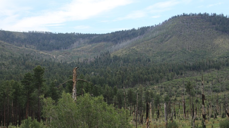
Beginning near Nutrioso, Auger Canyon runs 7.7 miles through mostly burned-out pine forests from the 2011 Wallow Fire to FR 249 on its southern end. The trail's first 2.6 miles are through private property. The road degrades considerably once in the national forest. There are lots of shelf sections with embedded rock. One dispersed campsite is just past the area of private property. The intersection with FR 249 has a rest stop with a vault toilet.
Updated: 10/15/2024
SDNM 8029
Big Horn, Arizona
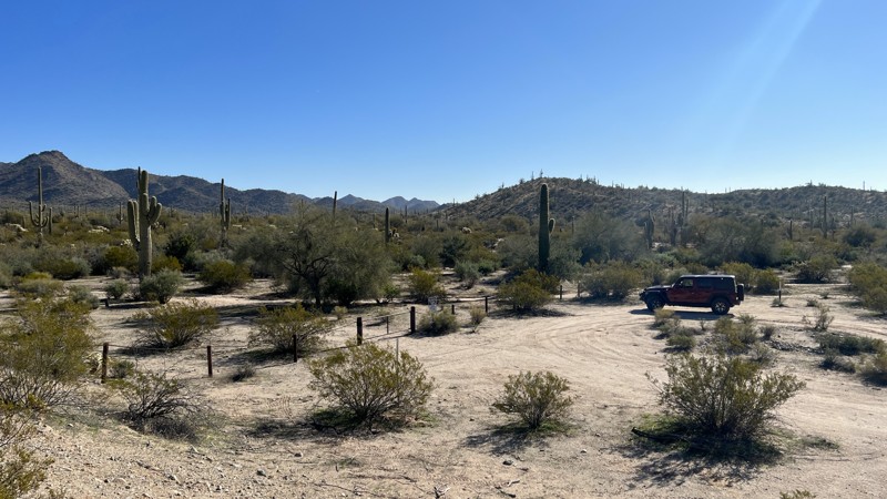
Trail 8029 runs from the BLM entrance gate off Interstate 8 to the abandoned Big Horn reservoir. This trail is one of a few in this area called a “cherry stem,” meaning the trail itself is on BLM land, while anything off the edge of the trail is designated as the South Maricopa Mountains Wilderness Area. There are wilderness markers all along the route. Trail 8029 is an easy mixture of dirt, gravel, and sand. The only place to camp on 8029 is at the end by the abandoned reservoir, which offers plenty of room for several vehicles on BLM land while not encroaching on the South Maricopa Mountains Wilderness.
Updated: 04/21/2026
Saddle Mountain
Tonopah, Arizona
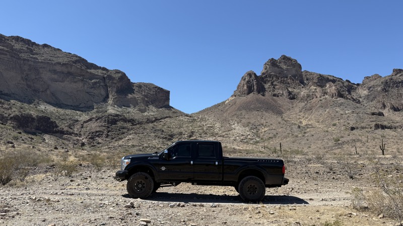
Located just west of Buckeye, Saddle Mountain offers an 11.8-mile loop of scenic desert driving with dispersed camping opportunities along the way. The first 3.5 miles are accessible to most vehicles with decent ground clearance and contain the majority of camp spots. At mile 3.5, a cowboy gate marks the start of rougher terrain requiring high-clearance, four-wheel-drive vehicles.
The trail features several notable obstacles, including rocky wash crossings at miles 5.35 and 6.25, both requiring careful navigation due to breakover angles and off-camber sections. Larger vehicles can make it through with caution.
At mile 9.06, drivers face the loop’s most technical challenge—a steep, rocky descent into a tight wash followed by a sharp turn and a 21-degree climb out. Full-size trucks can pass with careful maneuvering, especially with a spotter.
The final section smooths out after mile 10, offering easier driving, more campsites, and several spur trails to explore. The last gate at mile 9.99 appears tight but is passable for larger vehicles with mirrors folded.
Updated: 10/15/2024
Sunkist Trail
Quartzsite, Arizona
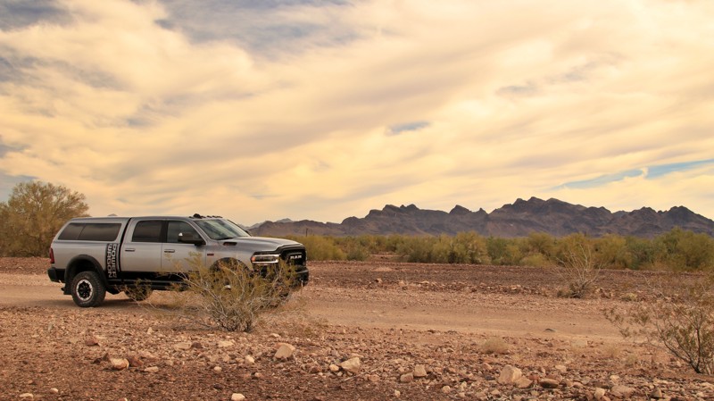
Designated route 0088, the Sunkist Trail runs between Plamosa Road and the northeastern side of Quartzsite. The ends of the trail are graded and offer large campsites with mountain views. The trail narrows in the middle, is rock-strewn, and crosses several deep sandy washes. It is popular with the ATV crowd.
Updated: 06/05/2022
Coon Creek Crossover
Mesquite, Arizona
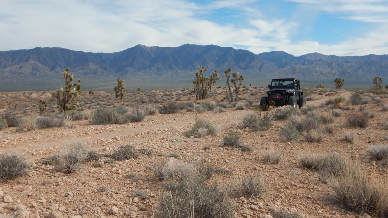
Coon Creek Crossover is your gateway to a sprawling network of 4x4 desert trails. You'll have access to Three Corners, Thelma & Louise, and countless mining trails crisscrossing this region. The trail immediately begins with a low clearance cement diversion tunnel under Interstate 15. Once you're through the tunnel and out into the desert, you'll traverse a harsh landscape with multiple challenges for stock type 4x4s. While navigating the various obstacles, you'll enjoy views of the Virgin Mountains to the east and sporadic patches of joshua trees that line the trail.
Updated: 07/06/2026
Pinal Mountain Road
Icehouse Canyon, Arizona
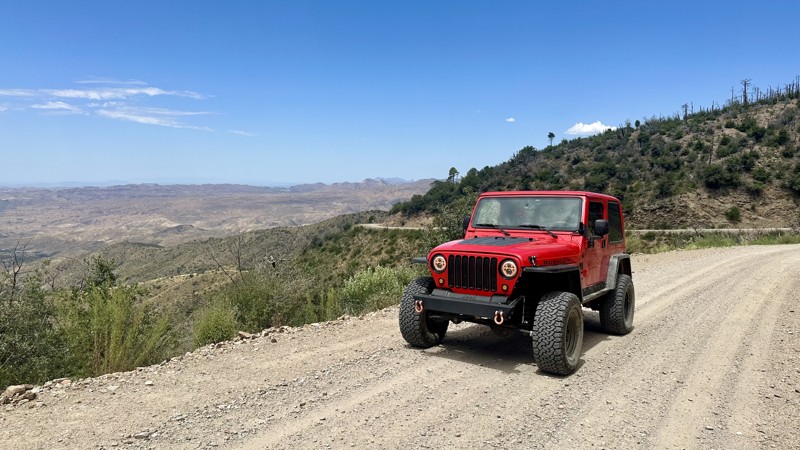
On the north, Pinal Mountain Raod (Forest Road 651) begins on Kellner Canyon Road (Forest Road 55) in a residential area just beyond Besh-Ba-Gowah Archeological Park outside the town of Globe. At around 4 miles, you'll see a sign on your left for the Kellner Group Site, and a minute later, you'll turn left to begin your ascent toward both Signal Peak and Pinal Peak. This is where the dirt road begins and where civilization fades away. Scrubby bushes of manzanita and juniper comprise the landscape, but as the road climbs, pine trees emerge. The well-maintained road passes by Sulphide Del Rey campground, once the site of an old mining company. The campsite is first come, first serve, and there is no fee. The site has restrooms, fire rings, and tables but no water. Once you reach the saddle, there are multiple roads, but stay left against the mountainside. You'll catch your first views here while you continue to the top, careful with the steep dropoffs. Once you reach the summit, the forest thickens, and there will be two additional campgrounds, the Pinal and Upper Pinal Campgrounds, plus cabins. The campsites are located on a site formerly occupied by the US Army that used it as a heliographic signaling (using mirrors to reflect sunlight) station during the late 1800s. The campsites are first come, first serve, and there is no fee. The sites have restrooms, fire rings, and tables but no water. There are several trails to stretch your legs before heading back down the mountain.
Updated: 10/15/2024
Bunker Hill Loop
Sedona, Arizona
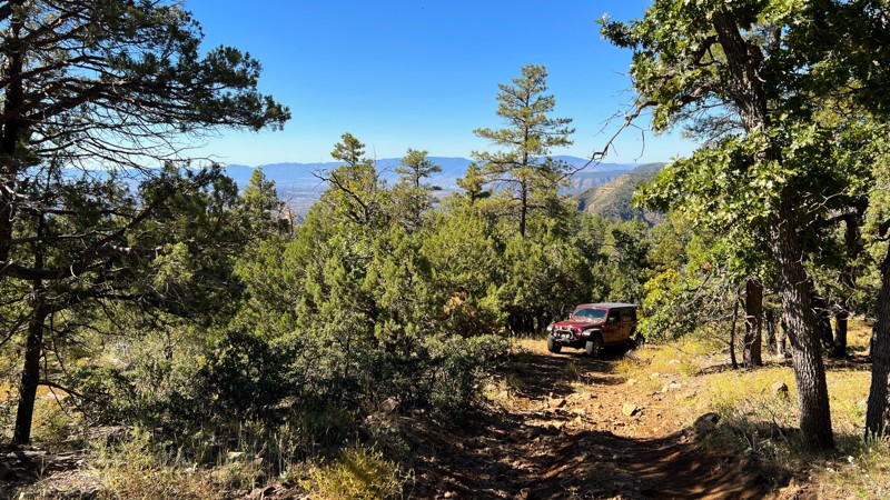
Combining this trail with the Bunker Hill trail creates a small loop around the base of Bunker Hill. The trail is primarily composed of loose rocks with packed dirt. It is narrower than the connecting Bunker Hill trail, and you might get pinstripes on your vehicle along the way. There are a few fallen trees around which the trail wraps, so be cautious. The most challenging section is a loose rock uphill climb. Most high-clearance stock vehicles should be able to navigate this section without too much trouble. There are no established campsites along this trail.
Updated: 10/15/2024
Overgaard
Aripine, Arizona
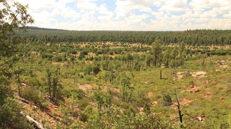
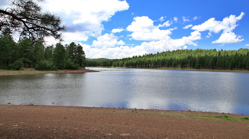
Overgaard begins on Highway 260 and runs southwest to end on East Bukskin just south of the town of Heber-Overgaard. The trail passes through pine forests with some burned areas courtesy of the Rodeo-Chedski Fire of 2002. There are a few nice views. Dispersed camping is limited. The trail is mostly packed dirt with embedded rock and a few potholes. There is a brief section of exposed bare rock.
Updated: 10/15/2024
Dogtown Road
Williams, Arizona
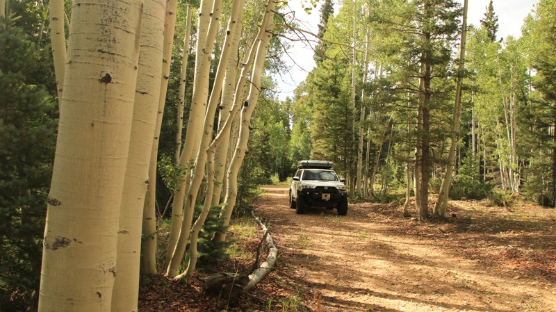
Forest Road 140 and its spur 132 are a camper’s heaven. Together, they form Dogtown Road. With literally hundreds of dispersed campsites, mainly along the western end, and an established campground and day-use picnic area, this is a busy road on summer weekends. Dogtown Lake draws anglers, kayakers, and picnickers. The name for the lake came from a nearby prairie dog village.
The road is easy, with one area of hard-bottomed mudholes in the late summer rainy season. Lined with Ponderosa pines, the trail crosses a few open prairies with nice views.
Updated: 10/15/2024
VT Ridge
North Rim, Arizona
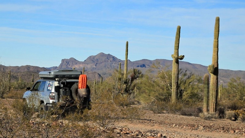
VT Ridge runs south off West Side Ryan. The trail connects with east/west trails leading to many of the scenic viewpoints and great campsites for which the Kaibab Plateau is known. VT Ridge begins as a well-groomed gravel road but deteriorates further south until it ends at the Grand Canyon National Park boundary. While the MVUM doesn't permit camping on VT Ridge, there is plenty of quality camping along the spur roads.
Updated: 09/23/2023
High Tank Six Road
Quartzsite, Arizona
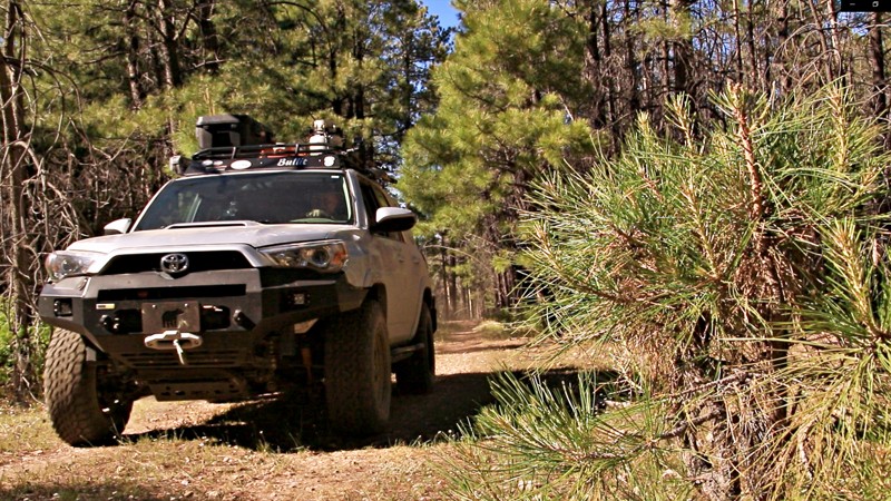
Located in the northern portion of the vast 1042 square mile Kofa National Wildlife Refuge, High Tank Six Road serves as a connector between the easily traveled MST&T and the more rugged Kofa Cabin - Jasper Springs. But don't let the short length of this trail nor its lowly status as a connector fool you. High Tank Six Road winds through a lower Sonoran Desert landscape of stately saguaro cacti, evil cholla cacti, and dry washes lined with ironwood trees. The ironwoods are a protected species, and if you value your ax, saw, or knife, you won't try to cut into one. They are called ironwoods for a reason. The Kofa Mountains form a jagged horizon to the south, home to desert bighorn sheep. To the north lies the lower Livingston Hills. These make great backdrops for camping along High Tank Six Road. Toss in a beautiful Arizona sunset, and you'll be in for a memorable experience in the Kofa National Wildlife Refuge.
Updated: 06/05/2022
FR 300G
Pine, Arizona
FR 300G runs north off scenic Rim Road. Just getting to this trailhead is a visually splendid adventure. The trail rides along the ridgeline between picturesque East and West Bear Canyons. Just beyond the end of the trail, those two smaller canyons merge to form the rugged Bear Canyon. If you camp along FR300G, take a walk down into one of the side canyons. In late Summer and Fall, there are tasty wild blackberries and raspberries to pick. In Fall, the Aspens turn golden, and Big Tooth Maples transform into a bright red, bringing rare seasonal color to the area. Elk and other animals are plentiful. In Spring, you may find a set of antlers where a bull worked his old ones free in order to grow new antlers for a new year
Updated: 08/27/2025
Log Landing
Three Forks, Arizona
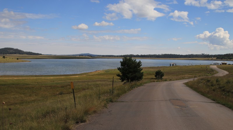
Log Landing skirts the southern and western sides of the Big Lake Recreation Area. Turnoffs go to the main campgrounds, boat launches, and the small general store. The South Cove spur offers a boat launch, vault toilet, a day-use picnic area, and good views of Big Lake. Railroad Cove has a boat launch and vault toilet. There is no dispersed camping along the trail. All camping inside the Big Lake Recreation area is restricted to the numerous developed campgrounds.
Updated: 10/15/2024
Walker Road
Potato Patch, Arizona
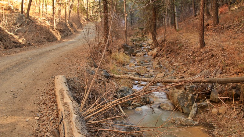
Walker Road is the southern unpaved extension of the paved portion of the same road. Running from the quiet hamlet of Walker, the trail connects with Senator Highway. Most of the lightly graveled, well-maintained road borders two streams. On the north, the stream running northward is the headwaters of Lynx Creek, which feeds Lynx Lake. On the southern end, the south-flowing stream is the headwaters of the Hassyamapa River, which empties into the Gila River. Small parcels of private property often border the trail. On the south end of the road, two homes have dammed the Hassyampa, creating a lovely private lake. This portion of the track becomes a narrow shelf road.
There's no camping on this trail. The nearest dispersed camping is along Senator Highway or Walker Big Bug. Lynx Lake has a paid campground with amenities.
Updated: 06/05/2022
Whoopsie Trail
Buckeye, Arizona
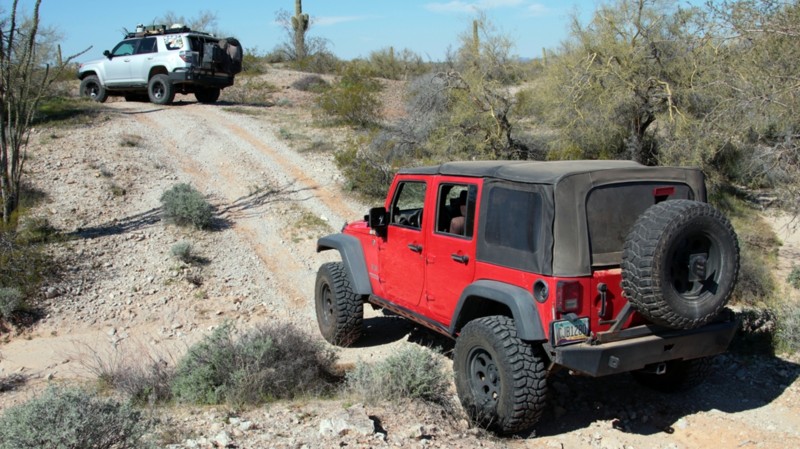
With more twists, turns, ups, and downs than the plot of an Agatha Cristie who-done-it mystery novel, the Whoopsie makes you keep your eyes on the trail. The wash crossings are simply too numerous to count. The trail never goes straight for more than a few hundred feet, often less than a few feet. The track is seldom level. The Whoopsie crosses the extreme southern edge of the vast Harquahala Plain in the shadow of the rocky Gila Bend Mountains to the south. Runoff from infrequent rain on the low mountains creates the intricate network of washes that cut the Whoopsie with such regularity. Further north, the Harquahala Plain is as flat as a pancake. Here it's more like an order of curly fries. You will be tempted to glance off at the jaggedly beautiful Eagletail Mountains to the northwest, but don't. When you look back, you will be off the serpentine two-track. Instead, stop. Stretch your legs. Enjoy the sound of the wind crossing the lower Sonoran Desert. Take in the stately saguaros and spindly ocotillos. Then check out the rugged multi-hued mountains jutting up on the far horizon. The Whoopsie Trail isn't long. It isn't difficult. But you will never stop grinning as you drive the roller coaster that is the Whoopsie.
Updated: 06/05/2022
FR 96
Pine, Arizona
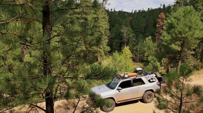
Millions of years ago, pressure from deep in the earth ripped a fissure in the crust. The north side of the fissure rose a few thousand feet, creating a long ridge towering over the lower southern side. That uplift, named the Mogollon Rim, runs from New Mexico through Arizona, separating the Sonoran Desert from the Colorado Plateau. Late summer winds laden with moisture from the Gulf of California and the Pacific Ocean are forced upward by the massive uplift. The moisture condenses and falls as rain creating one of the western United State's largest forests. The rain also creates deep canyons running north to south. Most of the roads up on the Mogollon Rim run north to south along the ridges between the steep and rugged canyons. But one trail cuts through that network, snaking west to east. FR 96 is literally the pretty path to adventure in the easternmost region of the vast Coconino National Forest. Forking east off East Clear Creek, FR 96 transports visitors deep into the beauty of one of Arizona's most amazing landscapes. The scenic drive gets adventurers closer to hiking, backpacking, camping, hunting, and even fishing and kayaking over on Knoll Lake. Come enjoy the area. It's truly uplifting.
Updated: 05/30/2025
Sleeping Princess OHV Trail: Bob Miller Extension
Bullhead City, Arizona
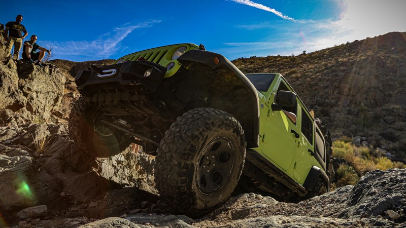
This trail-extending loop introduces a few more waterfall climbs to the Sleep Princess trail. The first is an optional near-vertical wall suitable for buggies. The GPS track follows the bypass for this event. The subsequent climbs are mostly solid rock with loose sand and rock at the bottom. At one point, vehicles lean toward the solid rock wall as they articulate over smaller rocks. Full-size vehicles need to take extra caution to keep their sheet metal clean.
Updated: 10/15/2024
Morgan Tank
Linden, Arizona
Morgan Tank connects Joe Tank and East Rim Road. The trail has washouts and deep ruts. There are several marginal dispersed campsites. The trail has little scenic value.
Updated: 06/05/2022
McClintock Ridge
Pine, Arizona
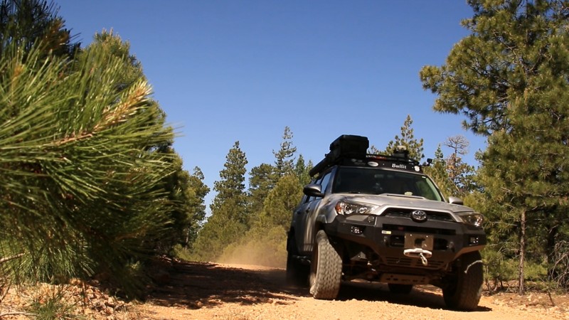
McClintock Ridge, named for the ridgeline on which it runs, goes north off scenic Rim Road. Just getting to this trailhead is a visually splendid adventure as you drive along the Mogollon Rim with its dramatic forever views. Two picturesque canyons run parallel to the McClintock Ridge and merge just beyond the trail's end. To the west, deep and rugged Barbershop Canyon has a perennial spring-fed stream. Dane Canyon to the east has several springs as well. The little creek in Dane Canyon can be dry in stretches interspersed with wonderful deep pools. If you camp on McClintock Ridge, take a walk down into one of the side canyons. In late Summer and Fall, there are tasty wild blackberries and raspberries to pick. Crayfish and darters scurry through the pools in Barbershop. The ruins of an old cabin supposedly used by Zane Grey, the famous western novel author, sit on the east side of Dane Canyon at Dane Spring. Elk and other animals are plentiful. Expect to see elk and possibly wild turkeys early and late in the day.
Updated: 10/15/2024
Beaver Creek
Hannagan Meadow, Arizona
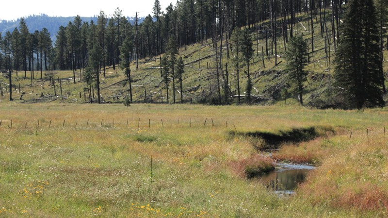
Beaver Creek is an easy well-maintained forest road running from Highway 191 to Buffalo Crossing, FR 24. On the east end, there are several old barns. The middle of the trail follows the road's namesake creek, a picturesque winding mountain stream. On the western end, the trail runs beside a large open meadow. There are several one-lane bridges. Dispersed campsites of all sizes are scattered along the route.
Updated: 09/05/2025
Buckhead Ridge
Oak Creek Canyon, Arizona
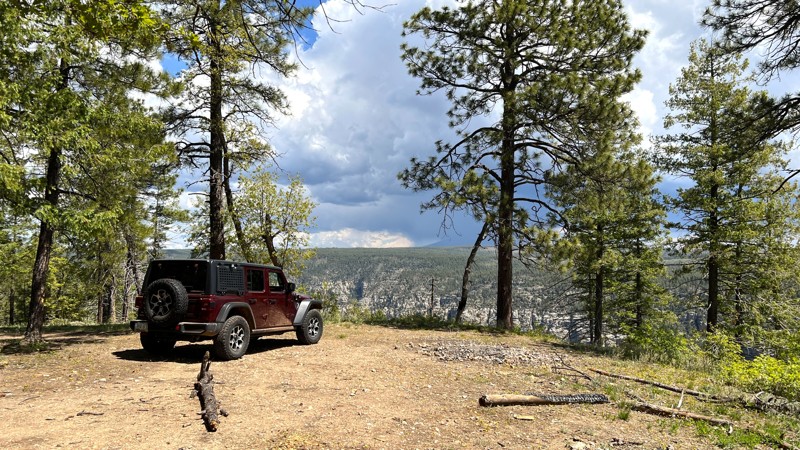
Buckhead Ridge is an easy trail made of packed dirt and rock that leads directly to the edge of Oak Creek Canyon. At the end of the trail, there are stunning views of the West Fork of Oak Creek, the rugged canyon walls, and Humphrey's Peak in the distance. This is a premiere campsite. You can pitch your tent here to wake up overlooking the canyon. The campsite can accommodate 5-6 vehicles, provides ample shade from the trees above, and also has a rock fire ring as an added bonus.
Updated: 10/15/2024
Deer Trail
Alamo Lake, Arizona
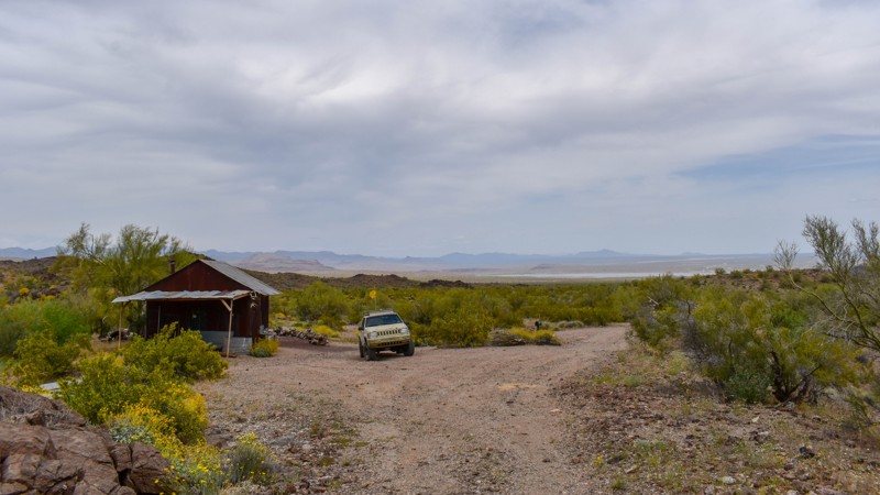
An old miner's shack called Deer Trail Lodge is located north of Alamo Lake. Surrounded by Palo Verde trees and Saguaro Cacti, this hidden spot is a popular destination for campers and adventurers. The cozy one-room dry cabin has a wood stove, picnic table, and an outdoor campfire ring. The area is rich with small mines such as Bonanza, Cactus Queen, Deer Trail, and numerous other prospects and mines to explore throughout the region. Visitors can enjoy a lake view while enjoying the quiet and dark night skies that come with being 50 miles from the nearest town.
If exploring old cabins is something you enjoy, check out McGuffie and Rockhouse cabins too!
Updated: 04/22/2026
Hidden Canyon
Mount Trumbull, Arizona
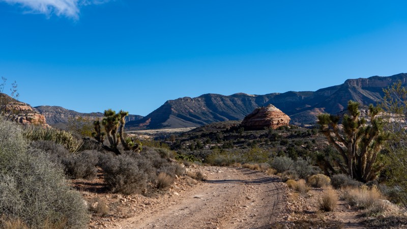
Hidden Canyon, also known as Nutter Twists Road, connects County Road 130 to a network of remote canyons, including Rattlesnake, Last Chance, St. George, and Jump Canyons. It eventually meets Black Canyon (BLM 1007) near Pakoon Springs. The route can be traveled in either direction, but it requires an aggressive high clearance Four Wheel Drive vehicle with low-range gearing due to steep wash crossings and basketball-sized boulders to contend with. Any rain event can quickly change conditions due to the numerous washes, so use caution.
The description here begins in the south at County Road 103, the road starts on a rocky surface and follows the edge of a fairly deep wash. As you continue north, the route begins to cross the wash repeatedly while canyon walls rise around you and become tall and dramatic. Farther along, the canyon opens into a broad area with several historic corrals and trailheads that branch into other canyons. As the terrain widens, views of Hidden Rim come into sight and tower above the landscape.
The vegetation in this area begins to change. Cholla cactus and Joshua trees become more common as you climb higher. Signs warn that the road ahead is meant for Four Wheel Drive vehicles only and that only experienced drivers should continue. Along the northern edge of the Grand Wash Cliffs Wilderness, the surface becomes increasingly rocky and includes short sections of minor rock crawling. Some stretches are on wider, single-vehicle-width roads, high above steep drop-offs into the wash below. The views into the wilderness are exceptional, with buttes and knobs rising in all directions. The road ends where it meets BLM 1007.
Several corrals in the wider parts of the route make comfortable places to stop for lunch or to stretch your legs. An old mine is located along the way and was most likely a copper or silver prospect. A small stone structure can be seen from the road nearby. Many roads in this region bear names that originated from early ranching families who established the original travel routes. Although there is no written record connecting the Nutter family to this road, the naming pattern suggests it was taken from a ranching family, while the word twists likely refers to the winding nature of the route.
Camping is available near the southern end of the road and at several of the corral areas along the way.
Updated: 10/15/2024
Cottonwood Wash
Clay Springs, Arizona
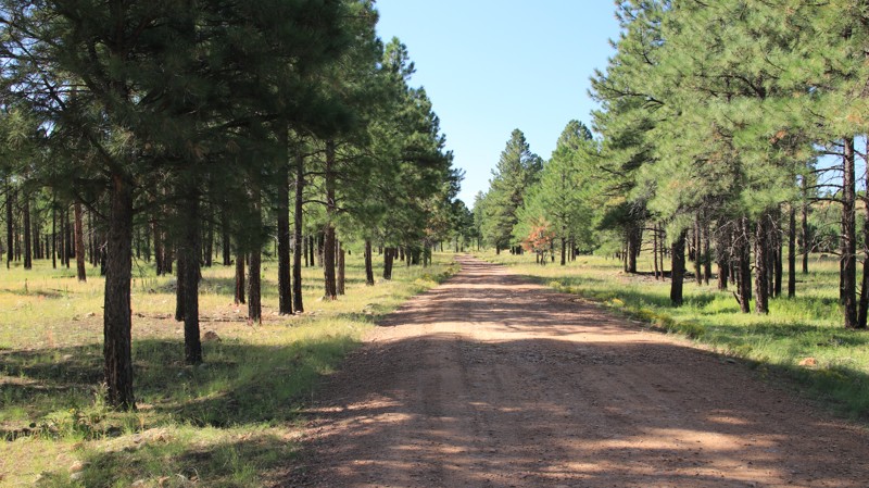
Cottonwood Wash runs from Highway 260 south to Pinedale Ridge. The trail briefly borders signed and posted private property. Take care for cattle and horses on the trail in this section. The trail narrows considerably south of the intersection with West Fork, FR 161. The last half of the trail is deeply rutted and should not be attempted by 2WD vehicles if this area is wet.
Several nice dispersed campsites are approximately three miles in on the trail, and others are scattered along the route.

Upgrade your Membership
Unlock all of the details on every Trail Guide and Scout Route.
Start a 7-day Free TrialBrowse Trails in Arizona by City
Browse every Arizona city with offroad trail guides.
Community
Partners

