






By clicking "ACCEPT", you agree to be the terms and conditions of each policy linked to above. You also agree to the storing of cookies on your device to facilitate the operation and functionality of our site, enhance and customize your user experience, and to analyze how our site is used.
Arizona Off-Road Trails
373
Total Trail Guides 359

4679
Detailed Waypoints 676
Try a Free 7-Day Trial and unlock it all
Start a Free Trial Most Recent Trail Reviews
Rated 4/5
Open
Visited: 09/22/2026
Hard pack, easy forest service road that is a great back way to the North Rim of the Grand Canyon.


Tyler D’Hulst
Rated 4/5
Open
Visited: 09/22/2026
Spring Canyon is a beautiful drive. We didn’t go out to the cabin but used this western section of road coming back from Crazy Jug

Tyler D’Hulst
Rated 4/5
Open
Visited: 09/22/2026
We took this out to Crazy Jug. The northern section is hard packed forest service road. Not difficult. Very scenic drive through the ponderosas.

Tyler D’Hulst
Rated 5/5
Open
Visited: 09/22/2026
View point is spectacular! Trail was easy going out, no obstacles at all. Saw a Toyota Camery at the viewpoint.


Tyler D’Hulst
Rated 3/5
Open
Visited: 09/22/2026
An alternative route out to Crazy Jug Point. It’s easy and can be scenic in areas. I’d recommend West Ryan out to Crazy Jug though.
Tyler D’Hulst
Rated 3/5
Open
Visited: 09/22/2026
A quick connector trail through the burn patch.
Tyler D’Hulst
Rated 5/5
Open
Visited: 09/20/2026
Leviathan Mine trail is a full day trip. Though it is only 20 miles in length the travel is slow and rough. Majority of the trail you will be going between 5-10 MPH. Then once at the end it connects w...



Eric Gartin
Official Crew
Rated 4/5
Open
Visited: 09/19/2026
Simple road, well graded today. Many mountain bikers coming down from the West out of Breezy Pines. Not too many people out until approaching Senator Hiway. We went East to West as I think thats a bet...



Jeff Burnett
Rated 3/5
Open
Visited: 09/19/2026
The trail itself is not spectacular, it's pretty flat across the plains. However, driving up to the overlook and seeing a huge gaping hole in the ground is a great juxtaposition to the flat trail. The...
Tyler D’Hulst
Rated 3/5
Open
Visited: 09/19/2026
A nice trail ride from the main road down off the plateau. It's graded forest service road until the switchbacks. The switchbacks themselves are not difficult, road is not graded. This section has bee...
Tyler D’Hulst
Rated 3/5
Open
Visited: 09/18/2026
The end of the trail is not well marked, and can cause confusion. Also, vehicle passes are required for all backcountry routes within the Lake Mead National Recreation Area.
Eric Gartin
Official Crew

Ted Whisler
No Rating
Open
Visited: 09/17/2026
Nice ride west side a little rocky but rating is true to #2


Ted Whisler
Rated 3/5
Open
Visited: 09/15/2026
A nice drop off the plateau heading towards Marble Canyon. Not a difficult road. Road is weathered but not challenging.
Tyler D’Hulst
No Rating
Temporary Closure
Visited: 09/15/2026
Road closed due to multiple washed out wash crossings after the turn off to go up the mountain. "Road Closed" sign put out by BLM on trail.
Tyler D’Hulst
No Rating
Temporary Closure
Visited: 09/15/2026
After the turn off to head up the mountain there are multiple washed out wash crossings. A "Road Closed" sign has been put out by the BLM.
Tyler D’Hulst

Ben Ruddell
Official Crew
Rated 4/5
Open
Visited: 09/14/2026
Bogles Ranch Road is a great Sunday afternoon drive type of dirt road that climbs up in elevation and gives some spectacular views of the surrounding area. The first half passes through State and Priv...


Eric Gartin
Official Crew
Ben Ruddell
Official Crew
Rated 3/5
Open
Visited: 09/14/2026
Antares Road is an excellent way to travel from Route 66 to the eastern portion of the Lake Mead National Recreation Area. This wide county road is well maintained with minor washboarding, most of whi...


Eric Gartin
Official Crew
Rated 3/5
Open
Visited: 09/14/2026
Hackberry road is a wide dirt road with minimal erosion damage and washboarding. There are a couple of larger washes that cross Hackberry road creating wide stretches of loose sand which can cause iss...


Eric Gartin
Official Crew
Rated 3/5
Open
Visited: 09/13/2026
This is a very rough, rocky, & slow going trail. Expect around 4+ hours for the trail & another hour to get the highway. One of those trails I'm happy I did but I wont be back personally. High clearan...

Brandon W
No Rating
Open
Visited: 09/12/2026
I think the rating is spot on. The ruts and washouts at the beginning are not as bad and if you hug the inside of the shelf road they can be avoided. The middle part is same general sandy wash with ov...



Greg Page
Rated 4/5
Open
Visited: 09/11/2026
Ran this trail as part of a larger loop. Trail is in great shape. Easy for standard 4x4 with no lift. Passengers can do it until maybe the very end by the lake where the road gets rocky and washed out...


Jeff Burnett
Rated 5/5
Open
Visited: 09/10/2026
This is one of my favorite scenic trails in the area. The trail is easy to travel, but does have some optional short trails that will test your vehicle. The views from the Grand Wash Cliffs of the Hua...


Eric Gartin
Official Crew
Rated 3/5
Open
Visited: 09/07/2026
This trail by itself is nothing special. It is mostly used as an access road to get to the more technical trail such as Homecourt, Twister, and Waynes World. This is a great trail for the beginner to ...


Eric Gartin
Official Crew
Rated 3/5
Open
Visited: 09/07/2026
This trail is an enjoyable alternate route when traveling on Blake Ranch Road (7163). The trail is easy with only a handful of spots with erosion damage. The few established camping sites appear to n...


Eric Gartin
Official Crew
Rated 5/5
Open
Visited: 09/07/2026
Ran this trail from Boynton Pass Road to Loy Butte Road (opposite direction from what is listed). Ran into a few rental ATVs and a couple of Jeeps heading the opposite way. This was a fun trail wit...



Daniel Macioce
Rated 5/5
Open
Visited: 09/07/2026
This trail was a lot of fun, plus the views were amazing. I ran the trail in the order posted, starting at the south trailhead and finishing at the heritage site. Past a motorcycle, a few jeeps and a...


Daniel Macioce
Rated 4/5
Open
Visited: 09/07/2026
Nice trail, ran West to East. For some reason the map shows this a a one-way trial, East to West. That is not the case, it is a two way trail. Was pretty washed out starting around mile 12. Plenty roc...


Jeff Burnett
No Rating
Open
Visited: 09/06/2026
New trail for me. You didn’t know what it would throw at you around every corner which is why you try to find new trails or old forgotten ones
KB
Kory Burden
Rated 5/5
Open
Visited: 09/06/2026
The trail is no joke—steep, narrow, and technical enough that you’ll want to be comfortable with off-camber shelf roads, rocky terrain, and washouts that will test your vehicles articulation. The rew...



Bobby Rumbaugh
Official Crew
Rated 5/5
Open
Visited: 09/06/2026
Fun trail if you don't want to do pyeatt draw itself. Ran this trail 3yrs ago and definitely a little more erosion but, still any truck or suv with good factory ground clearance can do it. From previo...
JM
James m
Rated 4/5
Open
Visited: 09/06/2026
Ran this trail from I-17 to Sedona. Extraordinary views descending into Sedona. As others have noted, there are lots of rock on the trail, making it slow going. Passed a large number of Pink Jeeps ...


Daniel Macioce
Rated 4/5
Open
Visited: 09/05/2026
This one definitely changed over the last few years. The southern section has some legit, steep, off-camber sections. YOU NEED experience, backup, and a capable vehicle on this one now. It's not supe...


.jpg)
Bobby Nelson
Official Crew
Rated 4/5
Open
Visited: 09/05/2026
Another amazing time on this scenic crossover. We came in from Walnut Canyon and finished out on Price Road after about 6 hours. A challenging and hot day for the old TJ. Rincon Road has evolved into ...


Bobby Nelson
Official Crew
Rated 4/5
Open
Visited: 09/05/2026
We started exactly at sunrise to try and beat the heat. We planned to crossover to Box Canyon and out on Price Road. It ended up taking us 6 hours, even with all the photos and filming we did. A chall...


Bobby Nelson
Official Crew
Rated 5/5
Open
Visited: 09/04/2026
We recently ran Four Peaks after the monsoon rains. Here’s what we found and what to expect if you’re planning to run it. Have a GR8 day!

Jeep 4 Dirt
Rated 5/5
Open
Visited: 09/04/2026
Breathtaking views. Definitely don't rush through the trail. Devil's staircase was a bit slippery but awesome. A few tight stops here and there, but a trail that's a must on anyone's to do list.



Christopher Bradley
Rated 4/5
Open
Visited: 08/30/2026
Id say this is a 3.5 to 4 trail. There are some obstacles, but nothing you really need to think hard about how to approach. If you send your vehicle at it in 4 low you'll get through everything.



Justin Holsinger
Rated 4/5
Open
Visited: 08/28/2026
Rim Road (FS300) West to East. Very well groomed gravel forest road. Accessible by just about any vehicle thats not been lowered. Who does that anyway? Scenic views the whole route. Hard to believe on...


Jeff Burnett
Rated 4/5
Open
Visited: 08/28/2026
Not a bad road but it was crowded with sxs and vehicles towing campers. Hard to rate 5 stars for a busy road. Super easy any vehicle can do this. Part is paved near the freeway but the rest is gravel.

Tony Rockwell
Rated 4/5
Open
Visited: 08/28/2026
I rated 4 stars just due to the volume of sxs & camper trailers on the road.
Easy drive, any car can do this.
Ran from sheep springs to munds park, see other reviews for full route.

Tony Rockwell
Rated 4/5
Open
Visited: 08/28/2026
I ran Bar M in reverse to get to this trail. Then headed toward Casner Park Road. (See reviews I did on each of those)
Nice easy trail that is less rough than Bar M.
Nice drive through trees.


Tony Rockwell
Rated 5/5
Open
Visited: 08/28/2026
Very bumpy due to rock infused trail. A few larger rocks, 8-12” tall in places but most stock 4x4’s should be able to navigate around or over them. I would say any 4x4 with all terrain tires could nav...


Tony Rockwell
Rated 3/5
Open
Visited: 08/27/2026
Overall decent little trail; camped out near Committee Tank (not suitable for tent camping - too rocky). Nothing too technical but enough to keep things interesting. High clearance and good line choi...


Bill Ferguson
Rated 3/5
Open
Visited: 08/27/2026
Connector from FS801 (Rock Garden Loop) to FS09494F (Committee Tank Trail); yeah, it lives up to its namesake. Very rocky. High clearance and picking good lines are an absolute must. Car camped at...

Bill Ferguson
Rated 5/5
Open
Visited: 08/27/2026
Nice trail saw some deer it’s a little rough but overall was easy


M
Maddox
Rated 5/5
Open
Visited: 08/23/2026
Great little adventure for the day. Dirt road is pretty rutted up due to monsoons, but easily drivable. Lake itself is extremely low.
LL
Larry Lapp
Rated 4/5
Open
Visited: 08/22/2026
A fun side trip that has a steep hill climb. Due to recent rains, the wildflowers were blooming.


Bobby Rumbaugh
Official Crew
Most Popular
Updated: 01/08/2024
Bargaman Park
Mormon Lake, Arizona
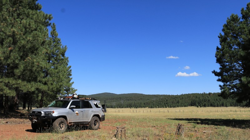
Located in the expansive and beautiful Coconino National Forest, Bargaman Park is a small jewel. The trail packs a lot into its five miles and connects with FR 109 and Mahan Ranch. Traversing a forest of stately Ponderosa pines, the easy trail passes the edge of its namesake, the beautiful Bargaman Park meadow. This open grassy plain is prime grazing for the free-range cattle that spend their summers here. But don't be surprised to see elk and pronghorn along the edges of the meadow, either. They will mostly be out in the early mornings or late afternoons. Wildflowers dot the park as well. Emerging in Spring, they last almost all Summer. Whether camping at any of the numerous dispersed sites along the trail or just taking a sightseeing drive, Bargaman Park is a gem of a trail.
Updated: 03/25/2023
Red Raven Road
Quartzsite, Arizona
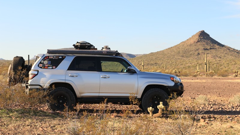
Back in the day, Red Raven connected all the major north-south roads in the area, including the Manganese, Hovatter, Norton, and Palomas Harquahala roads. The Red Raven was very useful for the few hardy ranchers and miners in the area back then. The creation of the Kofa National Wildlife Refuge caused the eventual closure of a section of the Red Raven. The Yuma Proving Grounds to the south further complicated travel in the area. For modern adventurers traversing the ruggedly beautiful Kofa, the remaining Red Raven section provides an important and scenic connection between the Hovatter Road and the Kofa Manganese Road. Paralleling Red Raven Wash, the trail crosses a plain dotted with stately saguaros, thorny cholla, and the omnipresent creosote bushes. To the north, the Little Horn Mountains create a colorful jagged horizon. In the west, the Kofa Mountains thrust skyward in wildly varying shapes. Wash crossings keep the driving experience interesting. Flat desert playas offer plenty of opportunities to make camp and enjoy the beauty and solitude of an area few will ever see. Dark skies reveal more stars than seem possible. Stargazing is even more magical when accompanied by serenading coyotes. Sometimes a simple road is more than just a road.

Updated: 10/15/2024
Cow Creek
Cedar, Arizona
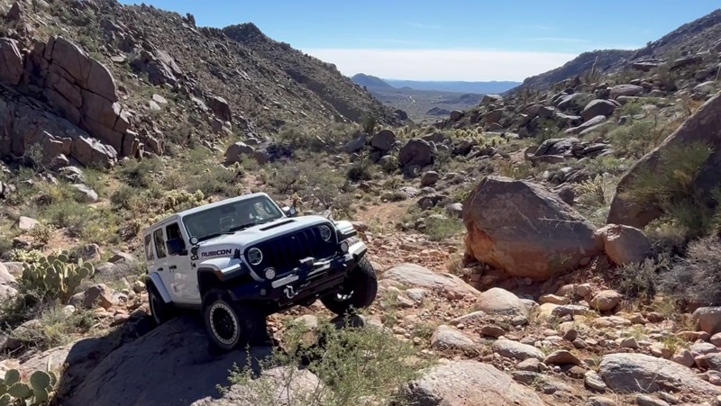
This trail has two very distinct halves. The first stretch is packed with technical rocky climbs and a few tight squeezes when running from the south end. Body damage IS possible! The second half becomes more of a backcountry drive that may have washouts and takes time to cover. The split point is identifiable by a windmill and a nearby water tank. The windmill is in a shaded area and makes a nice place to stop for lunch. If you make it to the windmill, retracing your steps back the way you came in is more fun and faster than continuing to the north exit.
Remember to be mindful of local residents, human and bovine, when entering and exiting the trail. Kicking up a lot of dust and unplanned meetings with cows are both frowned upon.
Updated: 06/04/2024
FR 36 Copper Creek Cabin
Black Canyon City, Arizona
The American Southwest is rich in Native American History but very few locations allow off-road enthusiasts the opportunity to drive right up to ruins like you can in the Aqua Fria National Monument. Roughly 40 miles north of Phoenix, this little known area has some of the best preserved Indian and early settler stone ruin sites. The earliest inhabitants were people that lived in the region between 1250 and 1450 A.D. They created an intricate network of over 450 mass dwelling sites that are spread out all over the area. The monument was created to protect the ruins, the beautiful Aqua Fria River and its tributaries. As noted in the presidential proclamation on Jan. 20, 2011 “The monument contains one of the most significant systems of late prehistoric sites in the American Southwest.”
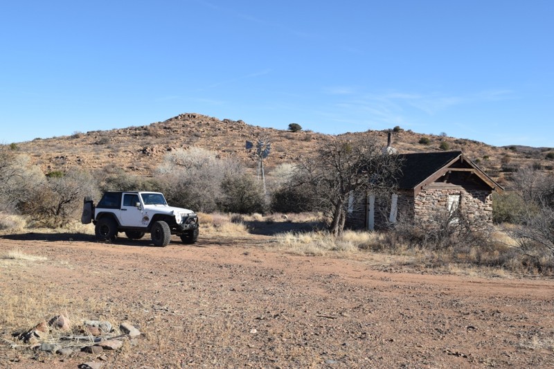
FR36 is an old access trail to a now retired Forest Ranger work site for Tonto National Forest. The stone building is beautifully preserved and there are even a couple other hidden structures in the immediate area. The region is large, give yourself the entire day to explore this unique part of the southwest. The numerous side trails offer countless points to walk among the ruins and search the nearby rocks for petroglyphs. There are hundreds of examples of this ancient art work scattered throughout the monument region. Look along cliffs or even on stray rocks in the meadows. Please do not disturb or alter these precious artifacts to ensure they remain for generations to come.
Updated: 09/19/2026
Tater Ridge FS 213
North Rim, Arizona
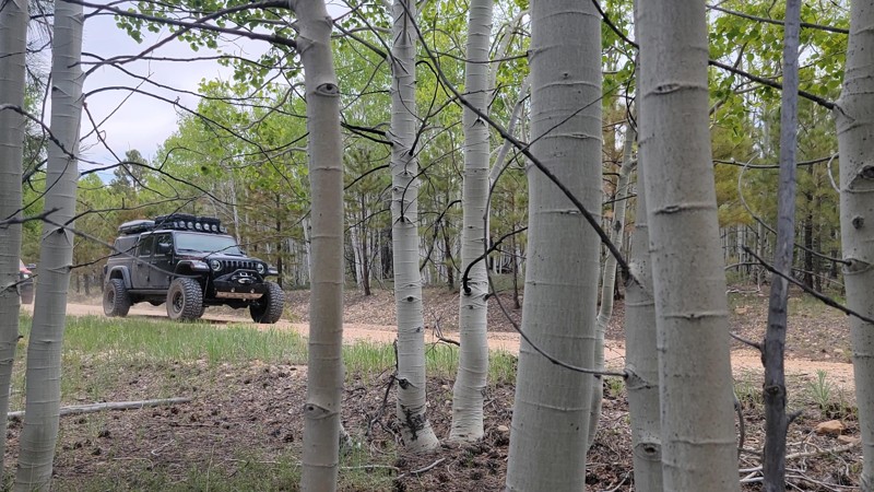
Tater Ridge Road, or FS 213, is a scenic dirt road through a Ponderosa Pine and Aspen tree forest. It is a great route between Highway 67 and the eastern edge of the Kaibab Plateau. There are a few campsites near the west end of the trail.
Updated: 07/09/2026
Rolls 401
Tortilla Flat, Arizona
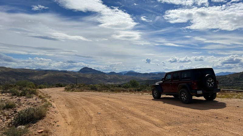
Trail 401 is one of the easiest trails in the Rolls OHV area. It is mostly a graded dirt road that runs from the Cottonwood starting area down to Stewart’s Camp, an old abandoned ranching area. The views of Four Peaks and Weaver’s Needle are impressive as you drop further in elevation. There are several dispersed camping spots off the side of the trail. In addition, there is a large, designated camping area 2.0 miles from the beginning of the trail. This area is marked with a trail marker labeled “Camping.” While this doesn’t have designated sites, there are many areas here to set up camp that can accommodate multiple vehicles. The graded section of the trail ends at the bottom of a large hill at the abandoned ranch named Stewart’s Camp. This is another large camping area that can accommodate many vehicles. The trail continues past Stewart’s Camp for about a half mile. This section is no longer a graded road. It becomes much narrower and rockier as you cross several washes. Trail 401 ends where trail 401A begins, as indicated by the fiberglass trail marker.
Please note that an OHV permit is now required on this trail.
Updated: 06/04/2024
Bomboy Mine
Superior, Arizona
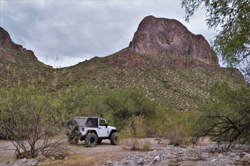
The region surrounding Superior Arizona is lush with mining history, many large mines are still operating today. This particular trail has long been used to access Bomboy Mine that opened in 1916. It was productive in copper, gold and silver up until it closed in 1971. Most recently the trail has had a rebirth of sorts with the partial closure of Hewitt Station Road, FR 357. The local residents and ranchers closed a 1/2 mile stretch of road to all traffic. This trail can be used with FR 252 Hewitt Station bypass to connect the two regions of the Montana Mountain area while offering a scenic and historic drive through the Arizona desert. The trail is not accessible by cars.
Updated: 09/22/2026
Big Saddle - Bee Springs
Ryan, Arizona
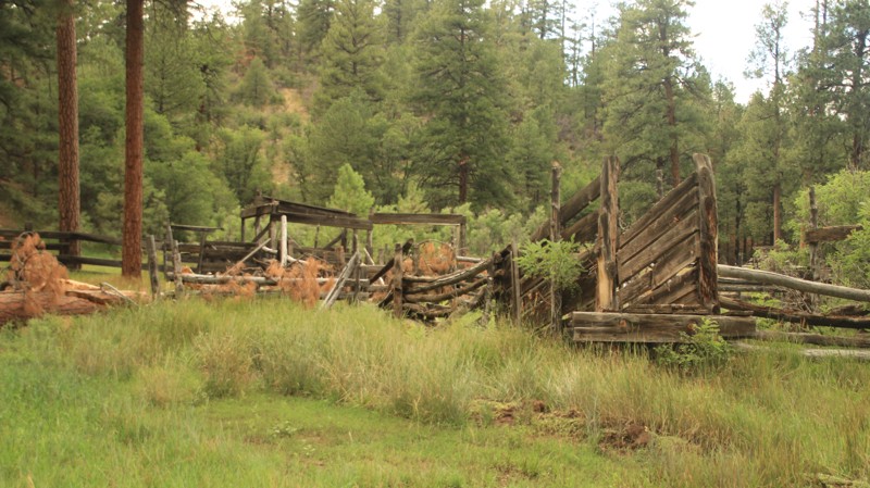
Two roads diverged in a yellow wood. Big Saddle - Bee Spring is just such a road, except half is fair and easy while the other is narrow, steep, and often muddy. The northern half of the trail is well-graded and mild-mannered, providing access to Crazy Jug, Sowats Point, and Indian Hollow. The southern half is tight, often muddy, and follows the Indian Hollow canyon until it does a steep switchback exit to connect with Dry Ridge Park. Grazing is allowed here, so expect to see cattle. The trail has only a few campsites.
Updated: 02/09/2026
Grand Wash Bay
Saint Thomas, Arizona
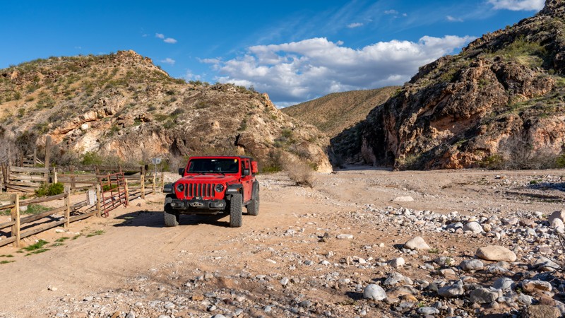
Grand Wash Bay Road is an astonishing out-and-back trip into extremely remote terrain, beginning in the Gold Butte National Monument, passing through the Grand Canyon-Parashant National Monument, and ending in the Lake Mead National Recreation Area. This washboard dirt road is 25 miles one-way, with non-stop scenic views for the entire trip. Users should be aware that reaching the end of this road requires nearly 100 miles of fuel range round trip, as the closest fuel services reside in Mesquite.
Also known as Grand Gulch Road or Tassi Ranch Road, Grand Wash Bay Road starts in Nevada, with limited cellular service. The road travels through a thin joshua tree forest following Horse Spring Wash to the Arizona state line. Five miles in the trail enters the Arizona Strip, and cellular service becomes non-existent. Passing through BLM land, the road is marked as County Road 113. While generally very well maintained and graded, expect washboard sections and loose gravel. Campsites within the BLM area are few and far between, but just before entering the Lake Mead Recreational Area, there's a large campsite with fantastic views of Grand Wash and the Grand Wash Cliffs. The ground is very rocky with a lot of thorny vegetation, thus vehicle camping or rooftop tents are best.
After passing into the Grand Canyon-Parashant National Monument boundary, the road changes numbers to 1213. It drops down the ridge following Grand Wash. Traveling in the wash is consistently rough and bumpy and is the most challenging section of the trail as you make your way through a mix of soft sand, golfball-sized gravel, and sporadic river rock up to 12 inches in diameter. Typically, the road is well-packed, and larger rocks are easy to avoid. Still, users should be aware that conditions can drastically change after each rain event, creating deep washouts and pushing large rocks to the middle of the road, even when the storm is more than 30 miles away. Flash floods are a genuine concern in several sections of this trail. The trail exits the wash and travels through a few wide canyons before coming to the historic Tassi Ranch, a well-preserved homestead on the edge of Tassi Wash. A quarter mile south of the ranch, on the other side of the wash, there's a clean restroom at the old Tassi Airstrip. The road continues another 4 miles across Pigeon Point, ending at the banks of Grand Wash Bay. This now-empty valley once housed millions of gallons of water for Lake Mead, as evident from the white bathtub ring on the canyon walls. Several shady campsites at the end of the road provide a quiet night of sleep for dreary travelers before turning around and returning the way you came.
This road is suitable for any high clearance vehicle with rugged offroad tires, such as all-terrain tires. Although the road can be traveled in 2WD, a 4WD or AWD vehicle is highly recommended due to the rigorous strain the rough terrain puts on your suspension components and the drastic conditions that can happen with any weather event. Low-profile tires are not recommended, and all users should carry at least one full-size spare.
Updated: 07/18/2025
Red Hill
Hannagan Meadow, Arizona
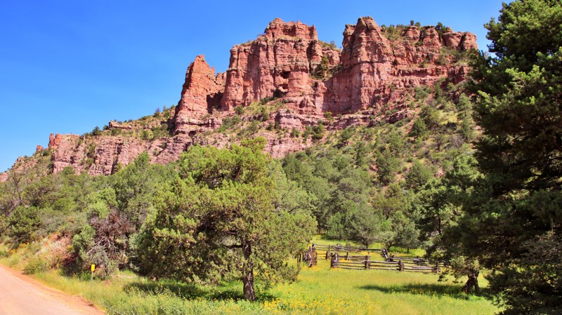
Red Hill runs eastward from Highway 191 to Blue River Road. As the name implies, it goes over a red hill, a massive red hill with amazing views of both the White Mountains and the Blue Mountains of New Mexico. In 1988, endangered Mexican gray wolves were reintroduced to this area. There are numerous dispersed campsites along the first three miles of the trail's western end. The free Blue Crossing Campground at the trail's eastern end has three campsites with picnic tables and fire grates. Two of the sites also have Adorondaik-style shelters. The campground also has a vault toilet.
While well maintained, the road has narrow switchbacking shelf sections where the roadbed is red clay. These shelves would be extremely hazardous if wet and slippery. The Blue River ford at the road's east end is impassable in high water.
Updated: 10/15/2024
Pyeatt Draw Road
Freedom Acres, Arizona
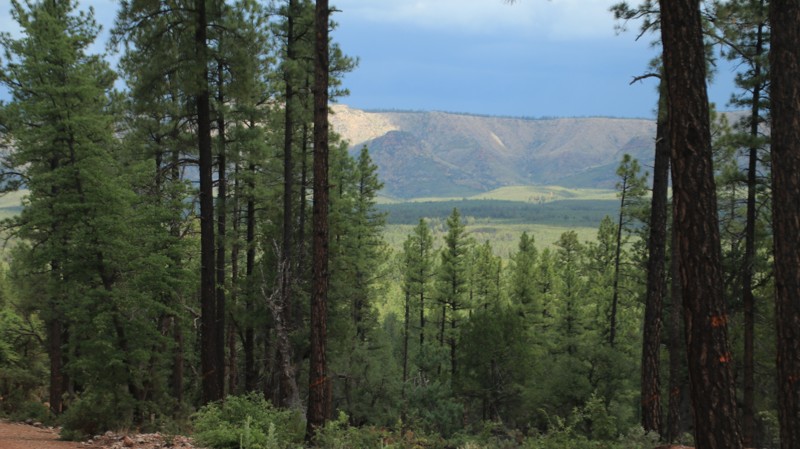
Pyeatt Draw Road connects Houston Mesa and Control Road. The trail also provides access to the rock crawling trails Pyeatt Draw and Pyeatt Draw Parallel. The trail runs through a pine forest with dispersed campsites and views. The road's surface is occasionally rough with exposed bedrock and ruts.
Updated: 04/08/2025
White Hills 9235F
Camp Verde, Arizona
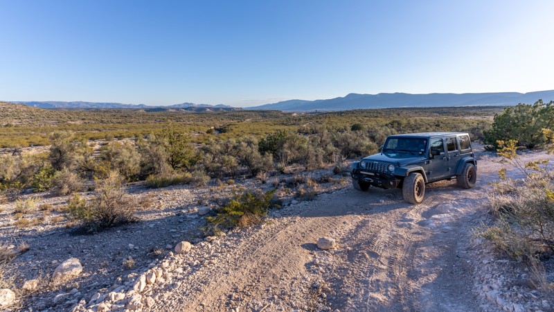
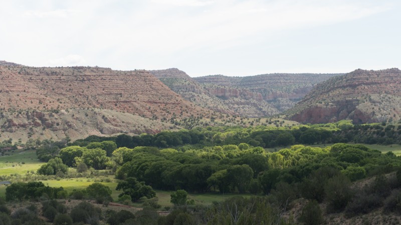
9235F is a two-track that winds through sandy washes and climbs around rocky cliffs. The area is predominantly shrub junipers and sagebrush.
The trail's southern portion has several obstacles, including medium-sized ledges, an off-camber on a steep hill, and unavoidable large rocks. Rain or snow could make this trail more difficult or dangerous because it goes across and in deep washes with steep banks in the southern half.
The northern section is flatter for possible camping. There is one established camp spot at the White Hills Loop single-track trail (34.67004, -111.86826)
There is a barbed-wire gate about halfway.
Updated: 07/05/2024
CR 70
Cottonwood, Arizona
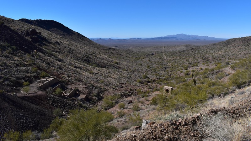
The beauty of the Red Rock region of Coconino Forest has been drawing outdoor enthusiasts for well over a century. The region offers a wide variety of outdoor activities including hiking, hunting, and camping. This route is a link from the desert region around the small community in Perkinsville to the pines that are high above in Kaibab National Forest surrounding Flagstaff.
Updated: 05/20/2024
McCracken Mine Road
Wikieup, Arizona
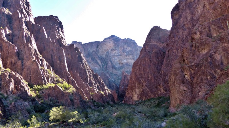
McCracken Mine was discovered in 1874 by Jackson McCrackin and "Chloride Jack" Owen and mined by several companies before closing for the last time in September of 1985. Ore from this silver and lead mine was sometimes processed onsite. But because of lack of water, most ore was hauled to Signal or a few miles south of Yucca to Mindy Mill. The concentrates were processed all over the place, from Greenwood 12 miles north of Signal, San Francisco, El Paso and Midvale, and even B.C. Canada. Several old stone cabin remains. The trail offers great views and a vast expanse of desert to explore. There's something for everyone out here. You just need to get out and look.
This remote stretch of desert is home to annual dark sky events where stargazers set up their telescopes and enjoy the lack of pollution from the city lights. With the nearest highways and train tracks over 20 miles and a mountain range away, the only distraction will be the spotty cell service.
Updated: 03/31/2025
Palm Canyon
La Paz Valley, Arizona
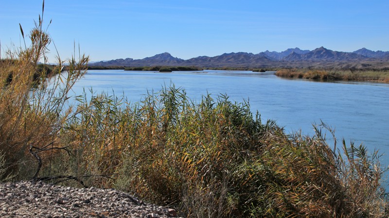
Palm Canyon leads off Highway 95 into the vast Kofa National Wildlife Refuge to a difficult hike into the only place in Arizona where native California palm trees grow in their natural habitat. The road is well maintained and a very popular area for boondockers during the mild Arizona Winter. While there's no shade, there is plenty of level ground to support any type of rig for a few pleasant nights under the stars. One of the most popular offroad trails in the Refuge, Kofa Queen Canyon, branches off the road into a picturesque canyon. With plenty of time on their hands, some campers created a perfect spiral of rocks visible by satellites. Check out these coordinates, 33.373263, -114.173820, on Google Earth!
Updated: 10/15/2024
Ox Bow/Levee Road
Paymaster Landing, Arizona
Ox Bow and Levee Roads run from Ehrenberg on Interstate 10 to Cibola Lakes along the Colorado River. The well-maintained road sometimes morphs into parallel upper and lower roads since there are higher and lower levees along portions of the river. Short connectors between the upper and lower roads are plentiful. The upper levee provides 360-degree views, while the lower road provides a more intimate look at the Colorado River. Both are graded roads, with the upper being slightly wider. The road ends near Cibola Lakes, with room to turn around.
Plenty of riverside campsites of varying sizes sit along the north and central parts of the track. South of Baseline Road, the trail enters the Cibola National Wildlife Refuge, and camping is prohibited, though there are day-use areas.
Updated: 10/15/2024
Garland Prairie
Parks, Arizona
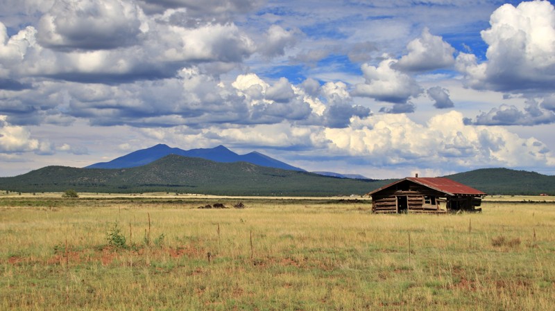
Garland Prairie is a massive alpine meadow. The road by the same name is the spine of the area's trail network. The road begins and ends off Interstate 40. Short stretches of the ends are paved since they serve homes and small businesses. The vast center is a wide, well-maintained gravel road that winds in and out of private land and the Kaibab National Forest. Both entities graciously number the road 141.
Expect to see cattle grazing on the prairie and deer peaking from the forests. Old homesteads sit abandoned on the prairie.
Being a busy travel artery, there are no campsites along the trail. But the many offshoots have every sort of forest recreation you can imagine.
Updated: 11/13/2023
Turtleback Mountain
Gila Bend, Arizona
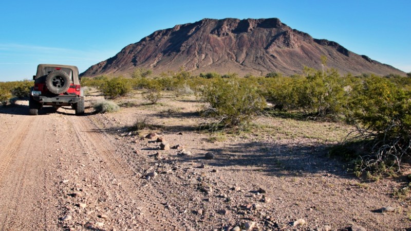
Maps are interesting. They are not reality but instead a cartographer's representation of reality. What is shown on one map may not be on another. While studying the vast uninhabited expanses of southwestern Arizona, I noticed there was an unnamed trail on maps, totally missing on others and only partially depicted on even others. Looking at satellite imagery showed that there definitely was a trail near Turtleback Mountain and hints of a track near the Clanton Hills. Whether these fragments connected into a north/south traverse of the eastern edge of the broad sandy Palomas Plain was unclear. So off we went to find out. Turtleback Mountain in the late afternoon sun bloomed into rich earth tones making our camp even more appealing. Add in coyote serenades and good conversation, and the exploration of the mystery trail was off to a good start. We'd traveled less than a mile the next morning before confusion set in. The trail forked in three directions, all equally appealing and none bearing a recent tire track. Any of them could be the one that would lead us north or not. This would become the theme of the day, traversing a beautiful desert while sleuthing out which unmarked track furthered our cause. We hovered over maps spread on the hood of an idling vehicle, triangulating off the jagged Eagletail Mountains and mounded Clanton Hills to get our bearings. The trail appeared boldly at times but became shy at others. Wash crossings were overgrown with palo verde and brush from lack of use. We pulled out saws to clear the way. Any frustration was pushed away by a sense of true adventure and the beauty of this remote landscape. Late in the afternoon, our rigs merged onto the well-mapped Palomas Harquahala Road near Clanton Well. We saw tire tracks that weren't ours for the first time. Seldom do we get to truly explore anymore, to experience actual adventure. But this day, we did. Maps are interesting. Adventure is even better. Turtleback Mountain is now mapped and ready for you to enjoy all the adventure it offers.
Updated: 10/15/2024
4362
Black Meadow Landing, Arizona
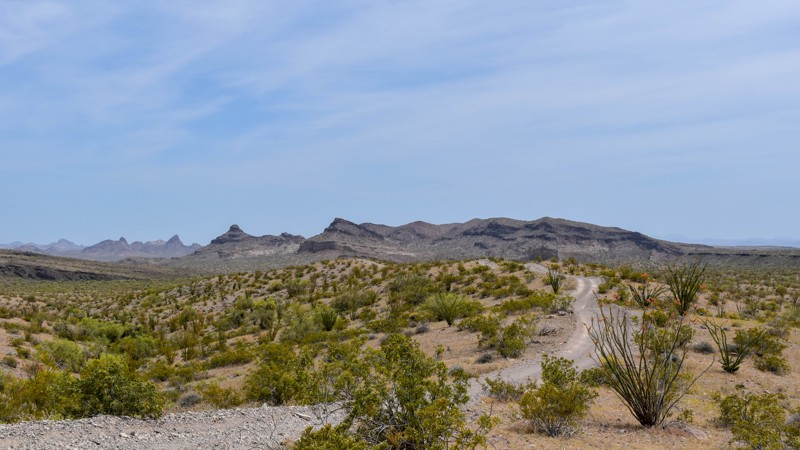
Embark on a desert adventure as you exit Highway 95 and enter a captivating desert playground. 4362 connects to a wealth of historical roads and mines, picturesque washes, and diverse trails suitable for every difficulty level. Whether you're seeking thrilling off-road challenges or serene scenic drives, there's something for everyone to discover beyond this main artery into the desert. Prepare to be enthralled by the rich history and breathtaking landscapes that await you off the beaten path.
Updated: 10/15/2024
17 Mile Rd
Six Mile Crossing, Arizona
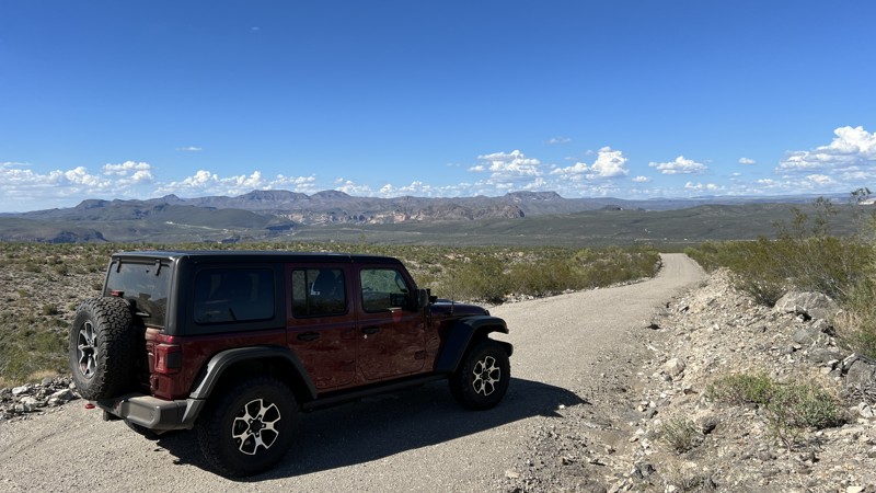
Seventeen Mile Road starts at an intersection with US 93 and heads west. The first mile of the trail crosses a sandy wash area that often floods during storms. Once through the wash, the trail begins to climb through the Poachie Mountain Range. There are nice views of Arrastra Mountain to the south and Greenwood Peak to the north.
The trail is generally packed dirt; however, there is consistent washover from drainage water flowing down the mountainside. The trail runs through BLM land and borders the Arrastra Mountain Wilderness. After 14 miles, Seventeen Mile Road intersects with Signal Road in the populated area of Greenwood. This is a beautiful area to drive through and take in mountain ranges, desert landscapes, and wilderness views. There are a few dispersed campsites along the route. Seventeen Mile Road can easily be converted to a loop by adding Signal Road, which leads you back to US 93.
Updated: 03/02/2024
Polaris Mountain
Quartzsite, Arizona
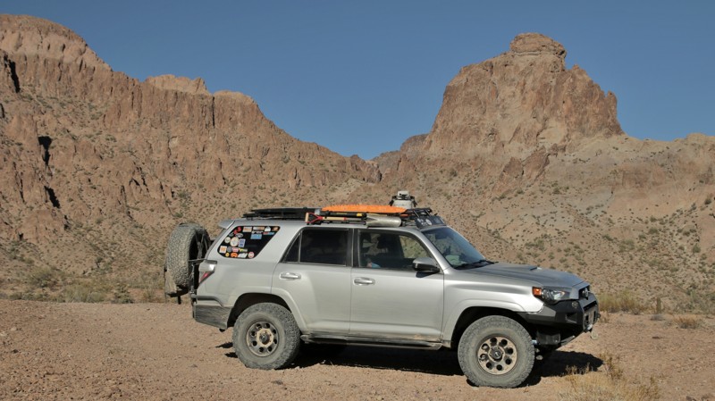
Polaris Mountain is a pyramid-shaped promontory in the northern portion of the Kofa Mountains. From the Kofa mining district, this mountain pointed straight up to the star Polaris, thus the name. A short and scenic side road off King Road takes you to the base of Polaris Mountain and into Big Dick Canyon. The end of the trail has wonderful mountain views and a great vista back across the broad King Valley. It's also a great jumping-off spot for some off-trail hiking into the rugged Kofa Mountains.
Updated: 10/02/2025
Flo Jo
Cochran, Arizona
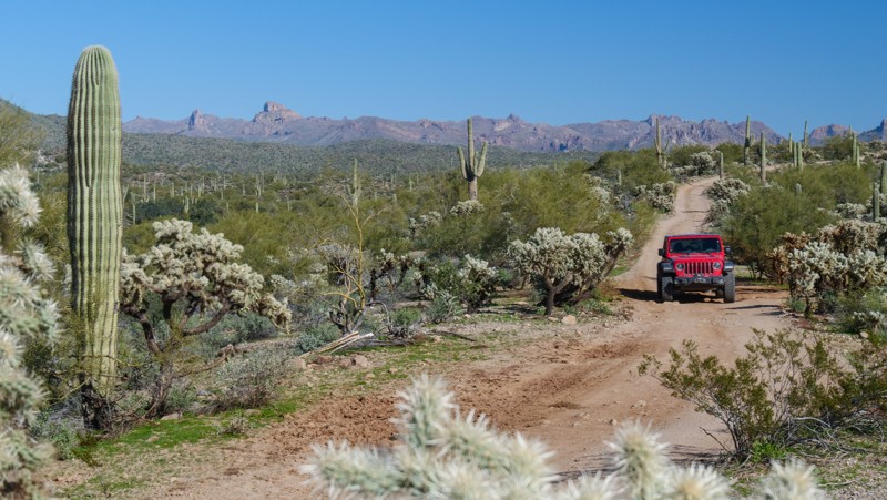
Crossing between The Flats and Sandman Road, Flo Jo passes through a prototypical Lower Sonoran Desert landscape dotted with saguaro and cholla cacti. This moderate 4x4 trail is ideal for the beginner off-road driver. The trail has hard-pack dirt and rocky terrain, perfect for stock 4x4s with high clearance and durable off-road tires. Deep washouts and mild hills may require 4WD. On hills and blind corners, watch for high-speed UTV traffic. Camping is limited along the route, with only a few open rocky areas.
Updated: 06/05/2022
Figure Four Canyon
Beaver Dam, Arizona
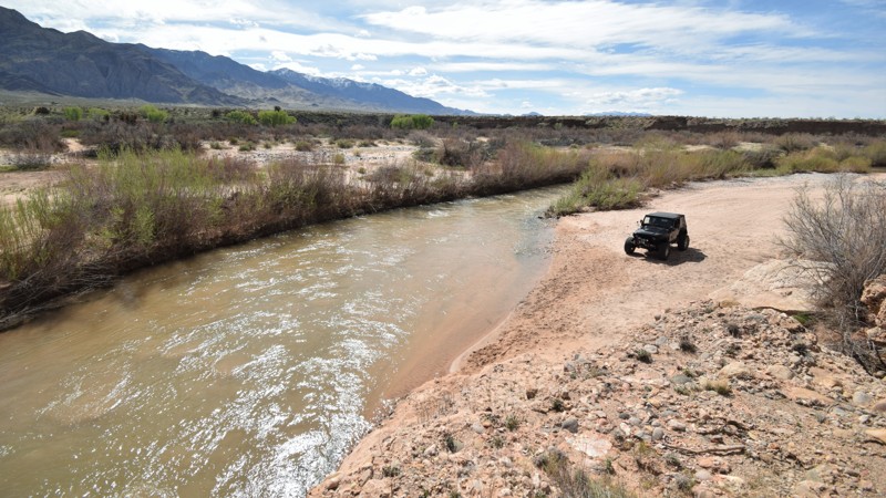
The Arizona desert has limited opportunities to get your feet wet. Figure Four Canyon is one of those spots that's worth the short and easy drive to a sandy beach, right along the shore of the Virgin River. There is a high banked bend in the river that is a relaxing place to put down stakes or to take a break after exploring the nearby Virgin River Ruins. The trail end has a bend in the river, a pooling area, making it an ideal spot for catching fish. The trail is easy enough for most stock 4x4's and the sandy beach is way less crowded than the nearby Little Jamaica trail.
Updated: 04/29/2024
Northern Foothills of the Mohave Mountains
Yucca, Arizona
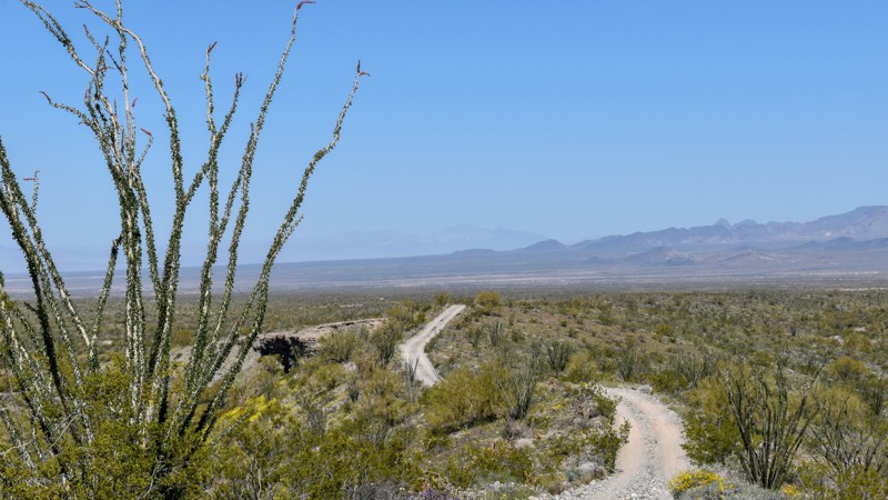
Discover the beauty and adventure of 4359, a backcountry 4WD road offering fantastic views of the valley floor from the northeast foothills of the Mohave Mountain Range. Follow the road as it climbs from 4345 to the foothills of the Mohave Mountains before winding down towards the Stagecoach Trails subdivision, offering several overlooks with panoramic vistas of the surrounding mountains. The northern side of the range is surprisingly cooler in the summer shoulder months, giving a slight reprieve from the heat. During late winter and early spring, it seems as though everything has a flower in bloom, with short green grass growing anywhere without a rock, all adding to the scenic beauty.
Keep an eye out for prospectors on quads and UTVs searching for the next big gold strike in the active mining claims that run along the trail. Join a prospecting association or do your homework to get permission to hunt on their claims. The Havasu Gold Seekers is an active club with many claims in the area. Don't miss out on the opportunity to explore this beautiful desert landscape with knowledgeable people who share a passion for prospecting and adventure. .

Upgrade your Membership
Unlock all of the details on every Trail Guide and Scout Route.
Start a 7-day Free TrialCommunity
Partners

