






By clicking "ACCEPT", you agree to be the terms and conditions of each policy linked to above. You also agree to the storing of cookies on your device to facilitate the operation and functionality of our site, enhance and customize your user experience, and to analyze how our site is used.
Arizona Off-Road Trails
373
Total Trail Guides 359

4679
Detailed Waypoints 676
Try a Free 7-Day Trial and unlock it all
Start a Free Trial Most Recent Trail Reviews
Rated 4/5
Open
Visited: 09/22/2026
Hard pack, easy forest service road that is a great back way to the North Rim of the Grand Canyon.


Tyler D’Hulst
Rated 4/5
Open
Visited: 09/22/2026
Spring Canyon is a beautiful drive. We didn’t go out to the cabin but used this western section of road coming back from Crazy Jug

Tyler D’Hulst
Rated 4/5
Open
Visited: 09/22/2026
We took this out to Crazy Jug. The northern section is hard packed forest service road. Not difficult. Very scenic drive through the ponderosas.

Tyler D’Hulst
Rated 5/5
Open
Visited: 09/22/2026
View point is spectacular! Trail was easy going out, no obstacles at all. Saw a Toyota Camery at the viewpoint.


Tyler D’Hulst
Rated 3/5
Open
Visited: 09/22/2026
An alternative route out to Crazy Jug Point. It’s easy and can be scenic in areas. I’d recommend West Ryan out to Crazy Jug though.
Tyler D’Hulst
Rated 3/5
Open
Visited: 09/22/2026
A quick connector trail through the burn patch.
Tyler D’Hulst
Rated 5/5
Open
Visited: 09/20/2026
Leviathan Mine trail is a full day trip. Though it is only 20 miles in length the travel is slow and rough. Majority of the trail you will be going between 5-10 MPH. Then once at the end it connects w...



Eric Gartin
Official Crew
Rated 4/5
Open
Visited: 09/19/2026
Simple road, well graded today. Many mountain bikers coming down from the West out of Breezy Pines. Not too many people out until approaching Senator Hiway. We went East to West as I think thats a bet...



Jeff Burnett
Rated 3/5
Open
Visited: 09/19/2026
The trail itself is not spectacular, it's pretty flat across the plains. However, driving up to the overlook and seeing a huge gaping hole in the ground is a great juxtaposition to the flat trail. The...
Tyler D’Hulst
Rated 3/5
Open
Visited: 09/19/2026
A nice trail ride from the main road down off the plateau. It's graded forest service road until the switchbacks. The switchbacks themselves are not difficult, road is not graded. This section has bee...
Tyler D’Hulst
Rated 3/5
Open
Visited: 09/18/2026
The end of the trail is not well marked, and can cause confusion. Also, vehicle passes are required for all backcountry routes within the Lake Mead National Recreation Area.
Eric Gartin
Official Crew

Ted Whisler
No Rating
Open
Visited: 09/17/2026
Nice ride west side a little rocky but rating is true to #2


Ted Whisler
Rated 3/5
Open
Visited: 09/15/2026
A nice drop off the plateau heading towards Marble Canyon. Not a difficult road. Road is weathered but not challenging.
Tyler D’Hulst
No Rating
Temporary Closure
Visited: 09/15/2026
Road closed due to multiple washed out wash crossings after the turn off to go up the mountain. "Road Closed" sign put out by BLM on trail.
Tyler D’Hulst
No Rating
Temporary Closure
Visited: 09/15/2026
After the turn off to head up the mountain there are multiple washed out wash crossings. A "Road Closed" sign has been put out by the BLM.
Tyler D’Hulst

Ben Ruddell
Official Crew
Rated 4/5
Open
Visited: 09/14/2026
Bogles Ranch Road is a great Sunday afternoon drive type of dirt road that climbs up in elevation and gives some spectacular views of the surrounding area. The first half passes through State and Priv...


Eric Gartin
Official Crew
Ben Ruddell
Official Crew
Rated 3/5
Open
Visited: 09/14/2026
Antares Road is an excellent way to travel from Route 66 to the eastern portion of the Lake Mead National Recreation Area. This wide county road is well maintained with minor washboarding, most of whi...


Eric Gartin
Official Crew
Rated 3/5
Open
Visited: 09/14/2026
Hackberry road is a wide dirt road with minimal erosion damage and washboarding. There are a couple of larger washes that cross Hackberry road creating wide stretches of loose sand which can cause iss...


Eric Gartin
Official Crew
Rated 3/5
Open
Visited: 09/13/2026
This is a very rough, rocky, & slow going trail. Expect around 4+ hours for the trail & another hour to get the highway. One of those trails I'm happy I did but I wont be back personally. High clearan...

Brandon W
No Rating
Open
Visited: 09/12/2026
I think the rating is spot on. The ruts and washouts at the beginning are not as bad and if you hug the inside of the shelf road they can be avoided. The middle part is same general sandy wash with ov...



Greg Page
Rated 4/5
Open
Visited: 09/11/2026
Ran this trail as part of a larger loop. Trail is in great shape. Easy for standard 4x4 with no lift. Passengers can do it until maybe the very end by the lake where the road gets rocky and washed out...


Jeff Burnett
Rated 5/5
Open
Visited: 09/10/2026
This is one of my favorite scenic trails in the area. The trail is easy to travel, but does have some optional short trails that will test your vehicle. The views from the Grand Wash Cliffs of the Hua...


Eric Gartin
Official Crew
Rated 3/5
Open
Visited: 09/07/2026
This trail by itself is nothing special. It is mostly used as an access road to get to the more technical trail such as Homecourt, Twister, and Waynes World. This is a great trail for the beginner to ...


Eric Gartin
Official Crew
Rated 3/5
Open
Visited: 09/07/2026
This trail is an enjoyable alternate route when traveling on Blake Ranch Road (7163). The trail is easy with only a handful of spots with erosion damage. The few established camping sites appear to n...


Eric Gartin
Official Crew
Rated 5/5
Open
Visited: 09/07/2026
Ran this trail from Boynton Pass Road to Loy Butte Road (opposite direction from what is listed). Ran into a few rental ATVs and a couple of Jeeps heading the opposite way. This was a fun trail wit...



Daniel Macioce
Rated 5/5
Open
Visited: 09/07/2026
This trail was a lot of fun, plus the views were amazing. I ran the trail in the order posted, starting at the south trailhead and finishing at the heritage site. Past a motorcycle, a few jeeps and a...


Daniel Macioce
Rated 4/5
Open
Visited: 09/07/2026
Nice trail, ran West to East. For some reason the map shows this a a one-way trial, East to West. That is not the case, it is a two way trail. Was pretty washed out starting around mile 12. Plenty roc...


Jeff Burnett
No Rating
Open
Visited: 09/06/2026
New trail for me. You didn’t know what it would throw at you around every corner which is why you try to find new trails or old forgotten ones
KB
Kory Burden
Rated 5/5
Open
Visited: 09/06/2026
The trail is no joke—steep, narrow, and technical enough that you’ll want to be comfortable with off-camber shelf roads, rocky terrain, and washouts that will test your vehicles articulation. The rew...



Bobby Rumbaugh
Official Crew
Rated 5/5
Open
Visited: 09/06/2026
Fun trail if you don't want to do pyeatt draw itself. Ran this trail 3yrs ago and definitely a little more erosion but, still any truck or suv with good factory ground clearance can do it. From previo...
JM
James m
Rated 4/5
Open
Visited: 09/06/2026
Ran this trail from I-17 to Sedona. Extraordinary views descending into Sedona. As others have noted, there are lots of rock on the trail, making it slow going. Passed a large number of Pink Jeeps ...


Daniel Macioce
Rated 4/5
Open
Visited: 09/05/2026
This one definitely changed over the last few years. The southern section has some legit, steep, off-camber sections. YOU NEED experience, backup, and a capable vehicle on this one now. It's not supe...


.jpg)
Bobby Nelson
Official Crew
Rated 4/5
Open
Visited: 09/05/2026
Another amazing time on this scenic crossover. We came in from Walnut Canyon and finished out on Price Road after about 6 hours. A challenging and hot day for the old TJ. Rincon Road has evolved into ...


Bobby Nelson
Official Crew
Rated 4/5
Open
Visited: 09/05/2026
We started exactly at sunrise to try and beat the heat. We planned to crossover to Box Canyon and out on Price Road. It ended up taking us 6 hours, even with all the photos and filming we did. A chall...


Bobby Nelson
Official Crew
Rated 5/5
Open
Visited: 09/04/2026
We recently ran Four Peaks after the monsoon rains. Here’s what we found and what to expect if you’re planning to run it. Have a GR8 day!

Jeep 4 Dirt
Rated 5/5
Open
Visited: 09/04/2026
Breathtaking views. Definitely don't rush through the trail. Devil's staircase was a bit slippery but awesome. A few tight stops here and there, but a trail that's a must on anyone's to do list.



Christopher Bradley
Rated 4/5
Open
Visited: 08/30/2026
Id say this is a 3.5 to 4 trail. There are some obstacles, but nothing you really need to think hard about how to approach. If you send your vehicle at it in 4 low you'll get through everything.



Justin Holsinger
Rated 4/5
Open
Visited: 08/28/2026
Rim Road (FS300) West to East. Very well groomed gravel forest road. Accessible by just about any vehicle thats not been lowered. Who does that anyway? Scenic views the whole route. Hard to believe on...


Jeff Burnett
Rated 4/5
Open
Visited: 08/28/2026
Not a bad road but it was crowded with sxs and vehicles towing campers. Hard to rate 5 stars for a busy road. Super easy any vehicle can do this. Part is paved near the freeway but the rest is gravel.

Tony Rockwell
Rated 4/5
Open
Visited: 08/28/2026
I rated 4 stars just due to the volume of sxs & camper trailers on the road.
Easy drive, any car can do this.
Ran from sheep springs to munds park, see other reviews for full route.

Tony Rockwell
Rated 4/5
Open
Visited: 08/28/2026
I ran Bar M in reverse to get to this trail. Then headed toward Casner Park Road. (See reviews I did on each of those)
Nice easy trail that is less rough than Bar M.
Nice drive through trees.


Tony Rockwell
Rated 5/5
Open
Visited: 08/28/2026
Very bumpy due to rock infused trail. A few larger rocks, 8-12” tall in places but most stock 4x4’s should be able to navigate around or over them. I would say any 4x4 with all terrain tires could nav...


Tony Rockwell
Rated 3/5
Open
Visited: 08/27/2026
Overall decent little trail; camped out near Committee Tank (not suitable for tent camping - too rocky). Nothing too technical but enough to keep things interesting. High clearance and good line choi...


Bill Ferguson
Rated 3/5
Open
Visited: 08/27/2026
Connector from FS801 (Rock Garden Loop) to FS09494F (Committee Tank Trail); yeah, it lives up to its namesake. Very rocky. High clearance and picking good lines are an absolute must. Car camped at...

Bill Ferguson
Rated 5/5
Open
Visited: 08/27/2026
Nice trail saw some deer it’s a little rough but overall was easy


M
Maddox
Rated 5/5
Open
Visited: 08/23/2026
Great little adventure for the day. Dirt road is pretty rutted up due to monsoons, but easily drivable. Lake itself is extremely low.
LL
Larry Lapp
Rated 4/5
Open
Visited: 08/22/2026
A fun side trip that has a steep hill climb. Due to recent rains, the wildflowers were blooming.


Bobby Rumbaugh
Official Crew
Most Popular
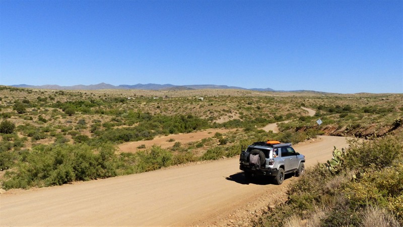
Updated: 06/05/2022
Bloody Basin West
Mayer, Arizona
Located in central Arizona, West Bloody Basin Road was vital to ranchers and miners before paved roads were introduced into this wide valley. Driving along the winding desert road today, you still see ranchers with large stock trailers moving cattle to market or greener pastures. Located almost exclusively on BLM land, it is common to see branded cattle grazing among flowering prickly pear cacti. The trail contours along gently sloping hills, leading you away from the speeding traffic of the nearby interstate and back in time to a slower-paced era. High points offer impressive views of the nearby Bradshaw Mountains, home to many turn-of-the-century mining operations. To the southeast, the canvas-tan, dried grass flatlands of Perry Mesa and the Agua Fria National Monument are often in view.
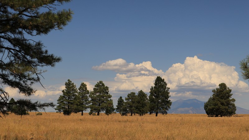
Updated: 06/05/2022
Kinnikinnick Road
Mormon Lake, Arizona
Spanning two very unique ecosystems in the vast Coconino National Forest, Kinnikinnick Road is a very scenic route. While the southern section sees many visitors on their way to Kinnikinnick Lake or simply to camp among the majestic Ponderosa Pines, the northern half is less traveled. Typically only ranchers and hunters venture up onto the wide-open grasslands of Anderson Mesa. However, the solitude offers a peaceful opportunity to contemplate the amazing views of the San Francisco Peaks in the distance or the tall grasses and wildflowers swaying in the cool breezes. While Kinnikinnick Road is a worthy destination on its own, those with a penchant for traveling longer distances on dirt can connect to FR 126 in the north and Anderson Mesa South to create quite the adventure. Given the many offshoots from Anderson Mesa South, a variety of all dirt routes from Interstate 40 south to Camp Verde become possible. Taken in that light, Kinnikinnick Road becomes the linchpin for classic overland adventures.
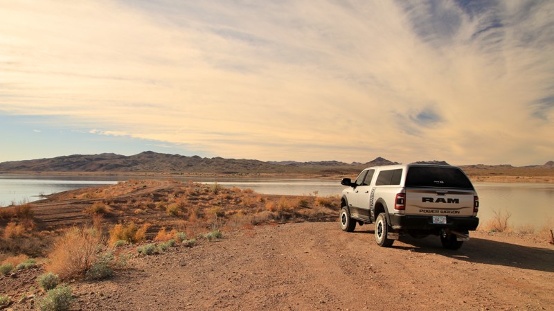

Updated: 03/06/2026
Wickenburg Alamo Road
Congress, Arizona
Starting off Highway 93, Wickenburg Alamo Road runs 34 miles across a desert plain to end on the shores of Alamo Lake. A large staging area suitable for camping sits near the trailhead. The first four miles of the trail have slick mudholes, deep ruts, and a washed-out gully crossing. Later, the trail has patches of deep sand before becoming a wide, well-maintained road as it crosses out of Yapaipai County and into Lapaz County. The trail ends in a spiderweb of side trails near Alamo Lake. A stock 4WD is the minimum recommended vehicle for this trail. Width is not an issue.
Wickenburg Alamo passes through a vast forest of Joshua trees. Black Mountain dominates the northern skyline in the early miles of the trail. Later, the trail passes the head of a canyon formed by Date Creek and descends slowly towards the manmade Alamo Lake, formed in 1968 by damming the Bill Williams River. The lake is a popular fishing destination and sees many winter visitors.
While there are scattered dispersed campsites along the length of the trail, most of the camping is near Alamo Lake. Countless dispersed campsites range in size from single vehicles to ones supporting up to 10 RVs. Numerous spur trails branch off near the lake to provide campsites with a view of the lake and a few on the lakeshore. The easternmost 8 miles of trail are on Arizona State trust land and require a permit to camp. Otherwise, dispersed camping is limited to 14 days.
Feral burros frequent the area around Alamo Lake. Their trails through the desert are obvious and often scattered with droppings. The burros are not aggressive unless threatened and are often very shy.
Nearby Alamo State Park has boat launches, a visitor center, and several campgrounds. The commercial Wayside Oasis RV Park has campsites with hookups, a small store with gas, and a cafe. It also has a dirt airstrip.
Larger rigs or 2WD vehicles wishing to camp near the lake can access the area via Alamo Road from Wenden, AZ, and take Park Road into the dispersed camping areas along Wickennburg Alamo Road.
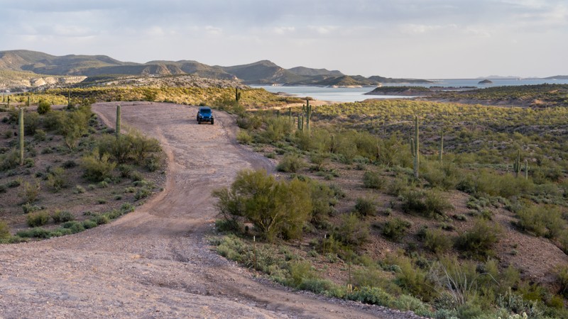
Updated: 10/15/2024
Two Shoes Ranch Road
Black Canyon City, Arizona
Two Shoes Ranch Road is an easy, hard-packed dirt road that travels along the northwest edge of Lake Pleasant Regional Park to the Humbug Creek delta. The road is 3-4 vehicles wide the entire way and offers a half dozen great campsites that overlook Lake Pleasant. Many spur roads in the area also lead to great campsites. The sites are generally hard-packed gravel, relatively level, and can accommodate everything from a single vehicle to a small group of 2-3 vehicles. Travel trailers are not recommended, but small offroad trailers and off-road vans would not have any issues. The road has a few loose gravel hills with 4-6 inch rock steps. Those are easily navigated due to the road's width. The route begins on BLM land and enters the regional park boundary just before reaching Humbug Creek. A park permit is required to enter the Lake Pleasant Regional Park. This trail is suitable for any high clearance vehicle.
Updated: 11/07/2025
Sycamore Pass Road
Sedona, Arizona
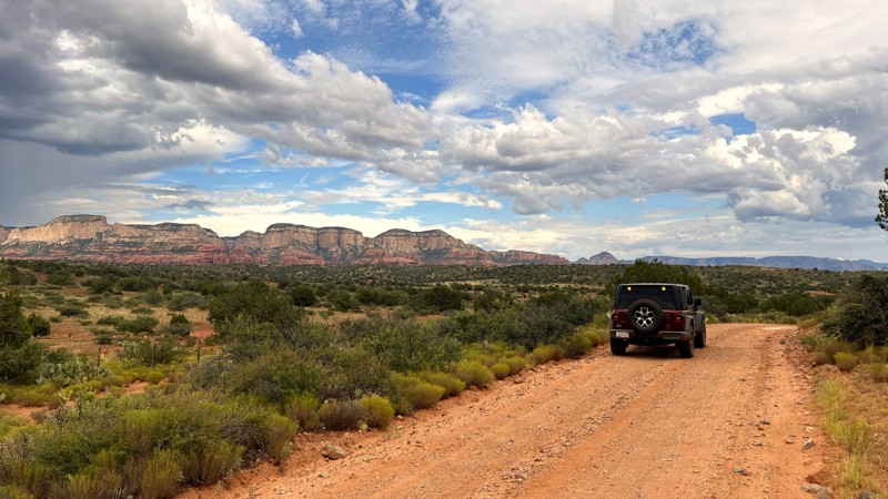
Sycamore Pass Road, FR 525C, is a branch trail from the main dirt drag of FR 525. This easy dirt road leads to iconic Sedona area offroad trails and hiking areas. At times this road may be closed due to weather-related flooding or washouts. Please watch for closure signs in the roadway.
Connecting OHV trails include Casner Mountain, which requires a permit required for vehicles over 62 inches wide, Powerline Trail, and Ranch Loop. There is an information board at the intersection of the Powerline Trail and FR 525C.
The Robber's Roost hiking trail and Hole in Rock are a short drive down Forest Road 9530.
FR525C ends with a turnaround and parking area at the Dogie hiking trailhead. The hiking trail goes up and over Sycamore Pass down into the Sycamore Canyon Wilderness.
No camping or campfires are permitted along this trail. Please use the designated campsites along Loy Butte Road, FR525.
Updated: 06/20/2024
FR 164B Canyon Loop
Flagstaff, Arizona
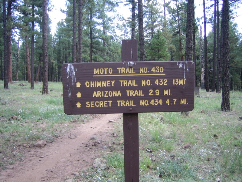
Canyon Loop, FR 164B, is a good place for dispersed trailer camping, and a good place to do some forest restoration tourism. This dirt road, while rough, offers abundant dispersed camping for your RV, trailer, or out of your car, without crowding or fees. The setting is the beautiful Ponderosa Pine forest of the Coconino National Forest. The forest is undergoing restoration under the Fort Valley Restoration Project, and you will have a chance to see your tax dollars at work improving the health of this once-overgrown forest. It's not the most choice camping destination in Flagstaff, but it is free, uncrowded, conveniently located by Snowbowl, and easily accessible. And if you're feeling adventurous, this is a great way to cut the corner from US-180 to Snowbowl Road, adding half an hour of time but making the drive more interesting. As a bonus, you'll have access to the Fort Valley Trail and the Moto Trail, which are good places to mountain bike and which connect with the Arizona Trail.
Updated: 04/02/2024
Arizona Yucca Mine
Yucca, Arizona
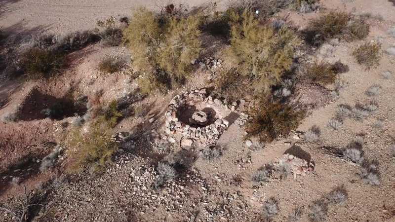
Step back in time to the Arizona Yucca Mine, an early 1900s gold mine where well-preserved artifacts such as an arrastra, vertical mineshaft, gravestones, and an old stacked rock foundation offer a glimpse into the past. The trail's highlight is the arrastra, a unique piece of history that horses or mules may have powered to crush ore in hopes of striking it rich or, as life would have it, finding a little more gold dust than the last time. The miners who worked these mines endured inhospitable conditions, facing the desert's unrelenting heat and clear blue skies in search of precious metals. Explore the nearby Chemehueyis Mine Prospects and other historic sites in the area, where the gravesites pay tribute to the hardships they endured.
This Arizona Yucca Mine article dives deeper into this specific mine.
Updated: 01/20/2023
Fourth of July Wash
Arlington, Arizona
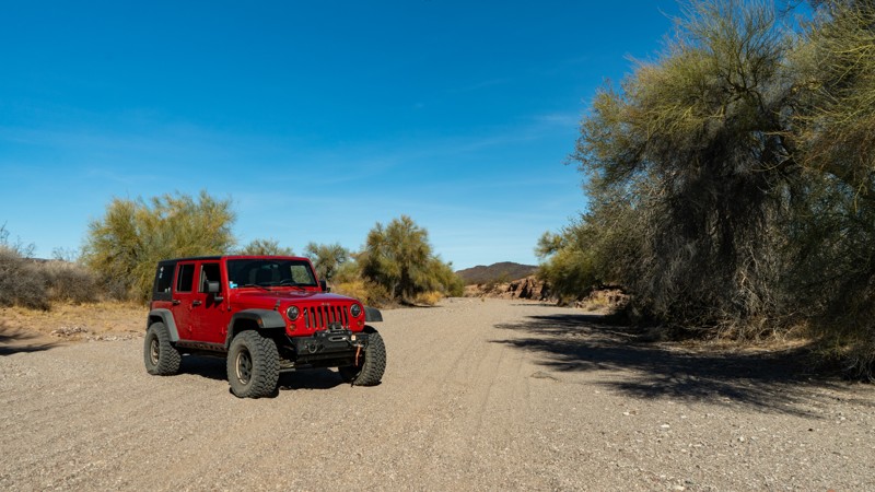
Views of red volcanic rock formations, green vegetation lining the wash, and a sense of adventure are to be had on this off-road trail near Phoenix, Arizona. Aptly named, the Fourth of July Wash is the main attraction while dissecting its way through the middle of the Gila Bend Mountains. Completing the adventure is an old watering hole and landing strip that will make an excellent lunch stop and a place to explore on foot.
Updated: 06/05/2022
Pa's Pocket
Saint George, Arizona
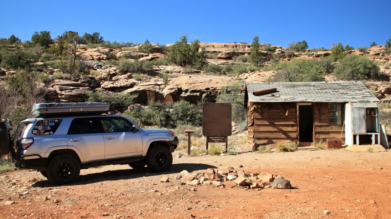
Water is life in the desert. Places where water collects are called pockets in the deserts of the Southwest. These relatively verdant pockets are gathering places for animals and humans. Native tribes knew the large rock cisterns carved into a tight slot canyon of a sandstone ridge would collect and hold the water from infrequent rains. Early settlers often improved on these natural features. Pa's Pocket is such a place. James Bundy, a prominent Mormon settler who lived near Mount Trumbell, built a dam in 1920 to capture and hold the runoff rainwater in this slick rock sandstone canyon to support cattle ranching in the area. Atwood and Ben Bundy built the cabin in 1945. Pa's Pocket is an oasis in a beautiful but parched landscape. The small canyon leading to the dam is often 20 degrees cooler than the surrounding environment. The trail to Pa's Pocket is scenic and just challenging enough to keep things interesting. The Pocket is a great payoff for the effort. Please respectfully visit the area and admire both the natural beauty and the efforts of the hardy people who lived in this land.
Updated: 10/15/2024
West Side Ryan
Ryan, Arizona
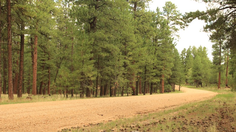
West Side Ryan, FR 22, is the main north/south arterial road into the northern Kaibab National Forest. The road begins in Fredonia. The first 22 miles are paved and boring. The remaining 29 miles are graded dirt and definitely not boring. West Side Ryan cuts through a park-like forest of old-growth Ponderosa Pines before terminating at Highway 67 near De Motte Campground. The road passes historic Big Springs Cabins, one of the original ranger stations built in the early 1900s. Today it serves as a USFS work center, and some cabins are set aside as rentals. There's even a ribbon waterfall during the rainy season. There is camping on the many spur roads leading off West Side Ryan, but none directly along the road.
Updated: 09/22/2023
Dane Ridge
Pine, Arizona
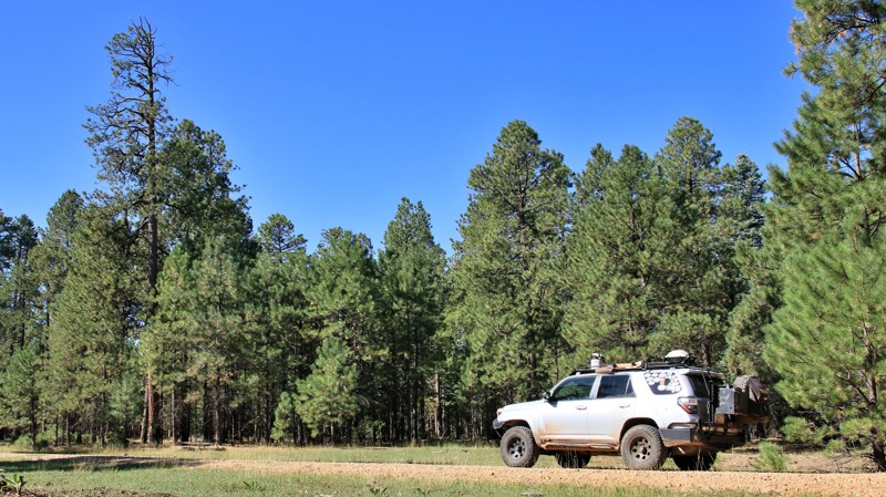
Located in the eastern reaches of the vast Coconino National Forest, Dane Ridge cuts through a deep forest of Ponderosa pines. Near the higher southern end of the trail, spruce and fir trees join the pines evoking an alpine forest more reminiscent of Colorado than Arizona. Elk, deer, and turkey sightings are commonplace along the delightful track. As its name implies, Dane Ridge rides along the ridgeline between Dane Canyon on the west and Yeager Canyon on the east. The ridge narrows in several places where travelers are simultaneously looking down the wooded slope of each canyon. A highly recommended side trip is to Dane Springs and Dane Cabin. At Waypoint 5, FR 321A goes off west to some fantastic camping and a small parking lot with a wood rail fence. A short hike west down into Dane Canyon ends at Dane Spring and the remnants of Dane Cabin. The spring, flowing from under a huge boulder, is one of the most reliable and tastiest water sources in the area. The spring has been boxed and now flows out a short pipe. The cabin nearby was once the Fall hunting base for renowned western novel author Zane Grey. Dane Ridge ends at the iconic Rim Road and a spectacular view off the edge of the Mogollon Rim. There are several campsites nearby right on the edge of the Rim for a night under the stars where you feel like you are on top of the world.
Updated: 05/06/2025
Buck Wash Road
Bullhead City, Arizona
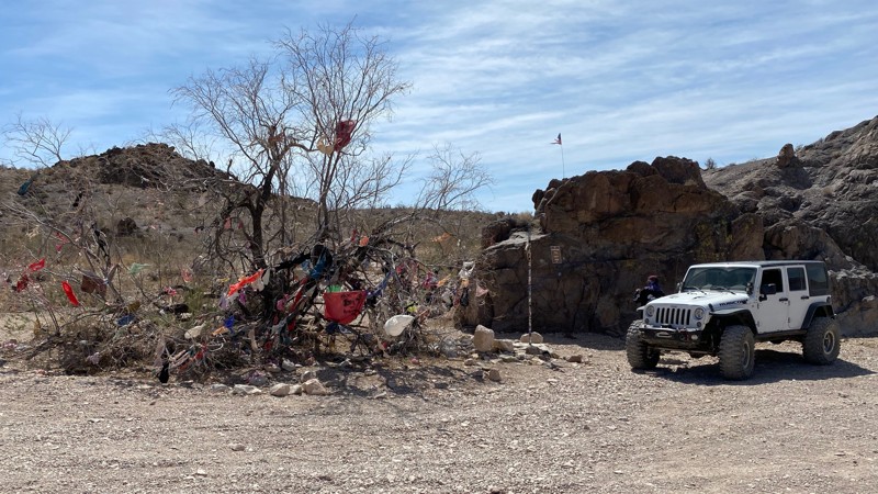
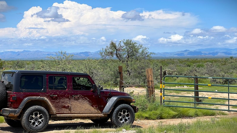
What will you find along this trail in the desert outside Bullhead City, Arizona? Thumb Butte, a stripper pole, bras and panties in a tree and a way to reach Secret Pass. This rough dirt trail includes sections of sand, small rocks, some moderately steep hills, and a short, narrow shelf road. Stock 4x4s and new wheelers should do fine through here but will want to take it slow through the hills.
Updated: 09/04/2025
E 96 Ranch Road
Cactus Forest, Arizona
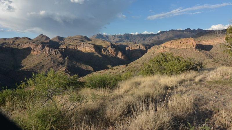
Located between Tucson and Florence, E 96 Ranch Road connects SR 79 on the west to North Barkerville Road on the east. This trail runs through Arizona State Trust Land and is a great area for camping. There are multiple established camp spots with stone fire rings available. For those interested in history, check out the multiple old corrals, livestock water tanks, and an old ranch. Please respect the private property of the ranch and observe from the road. For the sightseers, desert flower blooms, saguaros, and views of the 96 hills will grab your attention as you get deeper into the desert. The trail is an easy graded dirt road suitable for any vehicle with good ground clearance. Many offshoot trails canan make for a full day of exploring the desert landscape. A state trust land permit is required.
Updated: 10/15/2024
Redfield Canyon
Redington, Arizona
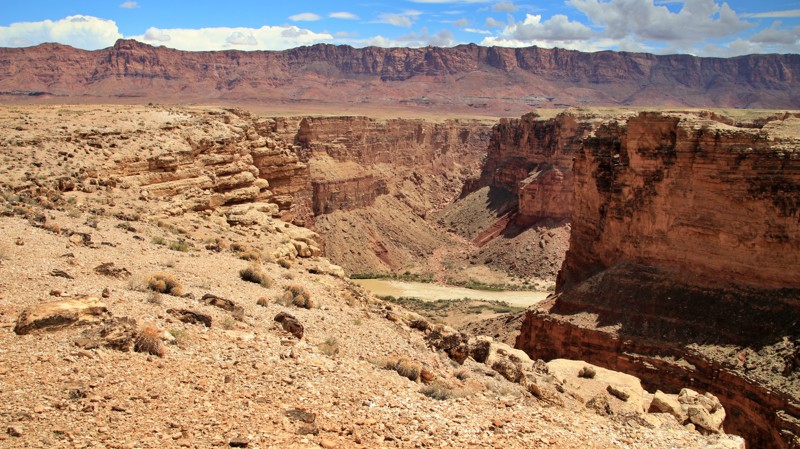
Great Views of the Redfield Canyon await those hearty enough to drive out to the end of this trail. While nothing can be described as particularly difficult, there are some steep rocky sections requiring your attention. You can make this a loop if your rig is capable enough to tackle Cherry Creek and connect up to the Bradberry Cabin trail.
Updated: 04/24/2026
Badger Creek
Marble Canyon, Arizona
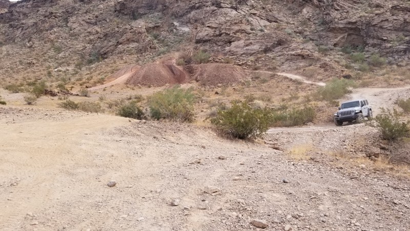
Badger Creek forms its own short but impressive canyon before emptying into the Marble Canyon section of the Grand Canyon. Badger Creek starts near the Lee's Ferry Lodge on Highway 89A and goes south along the edge of Badger Creek Canyon before ending at several campsites overlooking the confluence of Badger and Marble Canyons. The trail is easy and very well maintained towards the end.
Updated: 03/30/2024
Grey Eagle Mine
Parker, Arizona
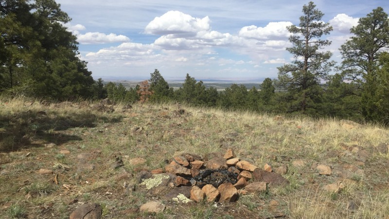
Out in the deserts of Parker Arizona, near the famous Nellie Saloon (aka the Desert Bar), is a fun alternative trail when looking to do something just off the beaten path. This short loop takes you around the direct path to the desert bar and allows you to see a little more of the desert. Now if you are leaving the desert bar and heading back towards Havasu, you can take this road to the exit up north.
Updated: 06/20/2024
9129D to Alto Spring
Flagstaff, Arizona
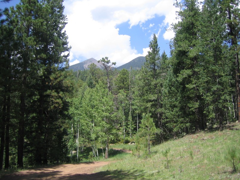
Hunting! This is the main reason you’ll be using FR 9129D. Alto Spring is a game hotspot (in wet years) and excellent hunting territory. During the Fall, the aspens turn golden. You’ll also find many prime campsites on side trails, with great views of the Peaks. If the snow flies early, this is a tremendous snow-wheeling road.
If you come at other times of the year, you’ll be able to hike, mountain bike, or snowshoe, and you’ll have the place entirely to yourself due to that locked gate. This is an excellent spot for a short overnight backpacking trip when the gate is closed during the summer.
Updated: 06/20/2024
Freidlein Prairie
Flagstaff, Arizona
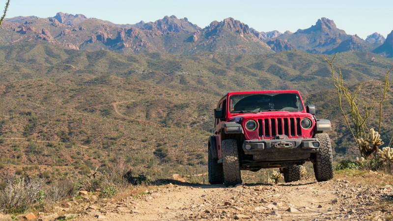
Freidlein Prairie provides the closest motorized access to the Kachina Peaks Wilderness and Kachina Trailhead and fourteen high-elevation designated campsites. Views of the peaks are limited by the beautiful alpine forest. Mexican Spotted Owls, a protected species, live in the area, and the campsites are closed for their breeding season. For those visiting the Snowbowl ski resort on the west side of the peaks for activities in the summer, access to 522 is located conveniently halfway up Snowbowl Road. The hiking trailhead parking lot at the end of Freidlein Prairie is within a few hundred yards of the Kachina Wilderness boundary and the demanding but enjoyable Kachina Trail.
Updated: 02/27/2025
West Ridge 6132
Reymert, Arizona
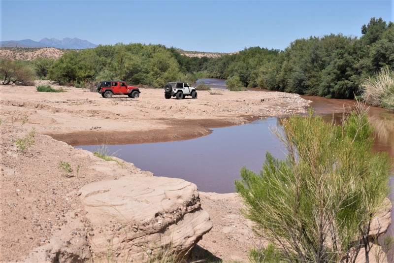
Often overlooked, West Ridge Trail delivers one of the best 360-degree views of Box Canyon within the Florence OHV Area. The trail is a steep and rocky climb to a scenic vista above the canyon. A portion of the trail twists through a sandy desert wash. The trail requires high clearance, durable off-road tires, and low range. West Ridge is wide enough for full-size vehicles, but expect very tight brush to cause pin-striping in the rocky wash on the southern portion of the route. There is no camping along this route.
Updated: 06/05/2022
Meddler Point
Globe, Arizona
The main water source for Roosevelt Lake and others in the region is the Salt River. This easy but scenic off-road trail leads you to Meddler Point where you can camp, swim and fish along the banks of the river before it joins the lake. There are several dispersed campsites that offer ample shade from the sun without the crowds found at other organized sites in the area. The area is very popular for fishing and bird watching. It's an annual migration route for many bird species and a great location for spotting large predator birds.
The trail ends at a National Forest interpretive site and day use area. There are a couple of paved roads leading to informative sites with river access. You can also choose to visit the Diversion Dam along Highway 288 where you can learn the history of the many dams that have helped develop the Phoenix Valley.
Updated: 07/06/2026
Orme Road
Arcosanti, Arizona
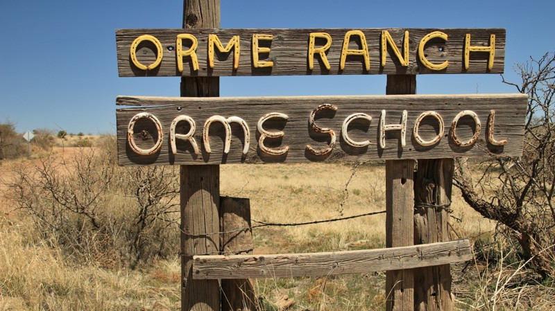
Beginning just across Interstate 17 from the historic Dugas Road, Orme Road continues your exploration of Arizona history. The road is named for the Orme School, which is also a working cattle ranch on the banks of Ash Creek. The private Orme School was founded in the mid-1900s following Arizona's rich tradition of ranch schools. Today the school is one of the premier private preparatory academies in the United States. Orme Road travels through central Arizona's grasslands and offers views down into the Ash Creek's valley. There is a large campsite towards the northern end of the trail.
Updated: 12/22/2025
East Freeman Road
Dudleyville, Arizona
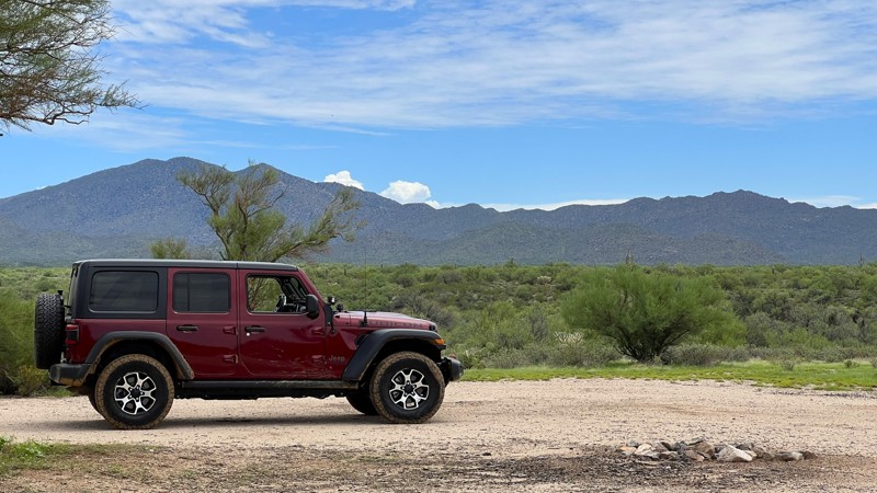
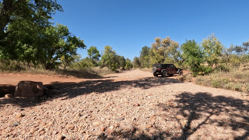
East Freeman Road is an easy graded dirt road. It provides access from State Route 79 into Arizona State Trust Land and the significant number of trails in this area. The track runs through state trust land, BLM managed land, and private property. There are multiple locations to camp along the East Freeman. Most sites are off the road to provide additional privacy and have space for multiple rigs. A few wash crossings showed signs of fast-moving water when it rained. Be cautious in this area during monsoon storms. Since this is a county road, no state trust permit is required to use the road. It would require a permit if you branch off onto other trails or camp on the state trust land.
Continuing east, you will intersect with Barkersville Road, North Freeman Road, and Willow Springs Road.
Updated: 10/15/2024
Ranch Loop Trail
Cornville, Arizona
The Ranch Loop OHV trail is the easiest of the 10 Sedona Iconic Trails. Most high-clearance stock 4x4 vehicles can complete this trail without problems. It is primarily a hard-packed dirt and rock trail with a few wash crossings. While the Hardest Part photo may look challenging, there are different lines to take, and it can be navigated easily. Camping is not allowed along this trail. It is designated as a "no camping" area, just like most of the Sedona area. However, if you're looking to camp, the nearest available option is along Loy Butte Road in the designated dispersed camping areas.
Updated: 06/05/2022
Sheridan Mountain
Chino Valley, Arizona
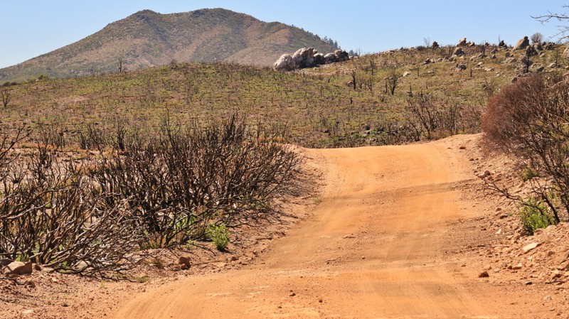
A good portion of Sheridan Mountain traverses the ravaged area left in the wake of the 2018 Stubbs Fire, which burned over 8000 acres of pine forest and high desert chaparral. The very hot fire left nothing but the bare ground and the blackened, gnarled trunks of the junipers. Jumbled granite outcroppings are laid bare. The stark, desolate scene jars the nerves, especially at first. But even in destruction, there is a sort of artistic beauty. The pygmy forest of pure black stands before the ancient buff and cream granite boulders. Stonehenge meets Dantes's Inferno. After a stretch of several miles, the road reenters a prototypical high chaparral forest of small pines and junipers. The fire-scorched earth teases in and out of view as well, a constant before and after, reminding you to tend your campfire well and not toss an errant cigarette butt out the window. B.T. Butte looms ahead, its sloped shoulders like every other massif of the area, but proudly possessing a stony rhinoceros horn on its southern end. At the intersection with Conger Water, the trail crosses a seasonal stream and begins to be more difficult and rockier than the easy track of the last four miles. With the ascent out of the drainage, Sheridan Mountain, the namesake of the trail, dominates the southern skyline. The trail turns eastward, snaking along the edges of Sheridan's foothills. If you like the granite outcroppings of the area, you will certainly enjoy some of the ridges in this section. After the intersection with FR 705A, Sheridan Mountain begins a boulder-strewn ascent up the narrow shelf road to the top of Smith Mesa. Attentiveness in choosing a good line will ensure your success. The top of the mesa rewards the brave with superb views. Enjoy.

Upgrade your Membership
Unlock all of the details on every Trail Guide and Scout Route.
Start a 7-day Free TrialCommunity
Partners

