






By clicking "ACCEPT", you agree to be the terms and conditions of each policy linked to above. You also agree to the storing of cookies on your device to facilitate the operation and functionality of our site, enhance and customize your user experience, and to analyze how our site is used.
Arizona Off-Road Trails
373
Total Trail Guides 359

4679
Detailed Waypoints 676
Try a Free 7-Day Trial and unlock it all
Start a Free Trial Most Recent Trail Reviews
Rated 4/5
Open
Visited: 09/22/2026
Hard pack, easy forest service road that is a great back way to the North Rim of the Grand Canyon.


Tyler D’Hulst
Rated 4/5
Open
Visited: 09/22/2026
Spring Canyon is a beautiful drive. We didn’t go out to the cabin but used this western section of road coming back from Crazy Jug

Tyler D’Hulst
Rated 4/5
Open
Visited: 09/22/2026
We took this out to Crazy Jug. The northern section is hard packed forest service road. Not difficult. Very scenic drive through the ponderosas.

Tyler D’Hulst
Rated 5/5
Open
Visited: 09/22/2026
View point is spectacular! Trail was easy going out, no obstacles at all. Saw a Toyota Camery at the viewpoint.


Tyler D’Hulst
Rated 3/5
Open
Visited: 09/22/2026
An alternative route out to Crazy Jug Point. It’s easy and can be scenic in areas. I’d recommend West Ryan out to Crazy Jug though.
Tyler D’Hulst
Rated 3/5
Open
Visited: 09/22/2026
A quick connector trail through the burn patch.
Tyler D’Hulst
Rated 5/5
Open
Visited: 09/20/2026
Leviathan Mine trail is a full day trip. Though it is only 20 miles in length the travel is slow and rough. Majority of the trail you will be going between 5-10 MPH. Then once at the end it connects w...



Eric Gartin
Official Crew
Rated 4/5
Open
Visited: 09/19/2026
Simple road, well graded today. Many mountain bikers coming down from the West out of Breezy Pines. Not too many people out until approaching Senator Hiway. We went East to West as I think thats a bet...



Jeff Burnett
Rated 3/5
Open
Visited: 09/19/2026
The trail itself is not spectacular, it's pretty flat across the plains. However, driving up to the overlook and seeing a huge gaping hole in the ground is a great juxtaposition to the flat trail. The...
Tyler D’Hulst
Rated 3/5
Open
Visited: 09/19/2026
A nice trail ride from the main road down off the plateau. It's graded forest service road until the switchbacks. The switchbacks themselves are not difficult, road is not graded. This section has bee...
Tyler D’Hulst
Rated 3/5
Open
Visited: 09/18/2026
The end of the trail is not well marked, and can cause confusion. Also, vehicle passes are required for all backcountry routes within the Lake Mead National Recreation Area.
Eric Gartin
Official Crew

Ted Whisler
No Rating
Open
Visited: 09/17/2026
Nice ride west side a little rocky but rating is true to #2


Ted Whisler
Rated 3/5
Open
Visited: 09/15/2026
A nice drop off the plateau heading towards Marble Canyon. Not a difficult road. Road is weathered but not challenging.
Tyler D’Hulst
No Rating
Temporary Closure
Visited: 09/15/2026
Road closed due to multiple washed out wash crossings after the turn off to go up the mountain. "Road Closed" sign put out by BLM on trail.
Tyler D’Hulst
No Rating
Temporary Closure
Visited: 09/15/2026
After the turn off to head up the mountain there are multiple washed out wash crossings. A "Road Closed" sign has been put out by the BLM.
Tyler D’Hulst

Ben Ruddell
Official Crew
Rated 4/5
Open
Visited: 09/14/2026
Bogles Ranch Road is a great Sunday afternoon drive type of dirt road that climbs up in elevation and gives some spectacular views of the surrounding area. The first half passes through State and Priv...


Eric Gartin
Official Crew
Ben Ruddell
Official Crew
Rated 3/5
Open
Visited: 09/14/2026
Antares Road is an excellent way to travel from Route 66 to the eastern portion of the Lake Mead National Recreation Area. This wide county road is well maintained with minor washboarding, most of whi...


Eric Gartin
Official Crew
Rated 3/5
Open
Visited: 09/14/2026
Hackberry road is a wide dirt road with minimal erosion damage and washboarding. There are a couple of larger washes that cross Hackberry road creating wide stretches of loose sand which can cause iss...


Eric Gartin
Official Crew
Rated 3/5
Open
Visited: 09/13/2026
This is a very rough, rocky, & slow going trail. Expect around 4+ hours for the trail & another hour to get the highway. One of those trails I'm happy I did but I wont be back personally. High clearan...

Brandon W
No Rating
Open
Visited: 09/12/2026
I think the rating is spot on. The ruts and washouts at the beginning are not as bad and if you hug the inside of the shelf road they can be avoided. The middle part is same general sandy wash with ov...



Greg Page
Rated 4/5
Open
Visited: 09/11/2026
Ran this trail as part of a larger loop. Trail is in great shape. Easy for standard 4x4 with no lift. Passengers can do it until maybe the very end by the lake where the road gets rocky and washed out...


Jeff Burnett
Rated 5/5
Open
Visited: 09/10/2026
This is one of my favorite scenic trails in the area. The trail is easy to travel, but does have some optional short trails that will test your vehicle. The views from the Grand Wash Cliffs of the Hua...


Eric Gartin
Official Crew
Rated 3/5
Open
Visited: 09/07/2026
This trail by itself is nothing special. It is mostly used as an access road to get to the more technical trail such as Homecourt, Twister, and Waynes World. This is a great trail for the beginner to ...


Eric Gartin
Official Crew
Rated 3/5
Open
Visited: 09/07/2026
This trail is an enjoyable alternate route when traveling on Blake Ranch Road (7163). The trail is easy with only a handful of spots with erosion damage. The few established camping sites appear to n...


Eric Gartin
Official Crew
Rated 5/5
Open
Visited: 09/07/2026
Ran this trail from Boynton Pass Road to Loy Butte Road (opposite direction from what is listed). Ran into a few rental ATVs and a couple of Jeeps heading the opposite way. This was a fun trail wit...



Daniel Macioce
Rated 5/5
Open
Visited: 09/07/2026
This trail was a lot of fun, plus the views were amazing. I ran the trail in the order posted, starting at the south trailhead and finishing at the heritage site. Past a motorcycle, a few jeeps and a...


Daniel Macioce
Rated 4/5
Open
Visited: 09/07/2026
Nice trail, ran West to East. For some reason the map shows this a a one-way trial, East to West. That is not the case, it is a two way trail. Was pretty washed out starting around mile 12. Plenty roc...


Jeff Burnett
No Rating
Open
Visited: 09/06/2026
New trail for me. You didn’t know what it would throw at you around every corner which is why you try to find new trails or old forgotten ones
KB
Kory Burden
Rated 5/5
Open
Visited: 09/06/2026
The trail is no joke—steep, narrow, and technical enough that you’ll want to be comfortable with off-camber shelf roads, rocky terrain, and washouts that will test your vehicles articulation. The rew...



Bobby Rumbaugh
Official Crew
Rated 5/5
Open
Visited: 09/06/2026
Fun trail if you don't want to do pyeatt draw itself. Ran this trail 3yrs ago and definitely a little more erosion but, still any truck or suv with good factory ground clearance can do it. From previo...
JM
James m
Rated 4/5
Open
Visited: 09/06/2026
Ran this trail from I-17 to Sedona. Extraordinary views descending into Sedona. As others have noted, there are lots of rock on the trail, making it slow going. Passed a large number of Pink Jeeps ...


Daniel Macioce
Rated 4/5
Open
Visited: 09/05/2026
This one definitely changed over the last few years. The southern section has some legit, steep, off-camber sections. YOU NEED experience, backup, and a capable vehicle on this one now. It's not supe...


.jpg)
Bobby Nelson
Official Crew
Rated 4/5
Open
Visited: 09/05/2026
Another amazing time on this scenic crossover. We came in from Walnut Canyon and finished out on Price Road after about 6 hours. A challenging and hot day for the old TJ. Rincon Road has evolved into ...


Bobby Nelson
Official Crew
Rated 4/5
Open
Visited: 09/05/2026
We started exactly at sunrise to try and beat the heat. We planned to crossover to Box Canyon and out on Price Road. It ended up taking us 6 hours, even with all the photos and filming we did. A chall...


Bobby Nelson
Official Crew
Rated 5/5
Open
Visited: 09/04/2026
We recently ran Four Peaks after the monsoon rains. Here’s what we found and what to expect if you’re planning to run it. Have a GR8 day!

Jeep 4 Dirt
Rated 5/5
Open
Visited: 09/04/2026
Breathtaking views. Definitely don't rush through the trail. Devil's staircase was a bit slippery but awesome. A few tight stops here and there, but a trail that's a must on anyone's to do list.



Christopher Bradley
Rated 4/5
Open
Visited: 08/30/2026
Id say this is a 3.5 to 4 trail. There are some obstacles, but nothing you really need to think hard about how to approach. If you send your vehicle at it in 4 low you'll get through everything.



Justin Holsinger
Rated 4/5
Open
Visited: 08/28/2026
Rim Road (FS300) West to East. Very well groomed gravel forest road. Accessible by just about any vehicle thats not been lowered. Who does that anyway? Scenic views the whole route. Hard to believe on...


Jeff Burnett
Rated 4/5
Open
Visited: 08/28/2026
Not a bad road but it was crowded with sxs and vehicles towing campers. Hard to rate 5 stars for a busy road. Super easy any vehicle can do this. Part is paved near the freeway but the rest is gravel.

Tony Rockwell
Rated 4/5
Open
Visited: 08/28/2026
I rated 4 stars just due to the volume of sxs & camper trailers on the road.
Easy drive, any car can do this.
Ran from sheep springs to munds park, see other reviews for full route.

Tony Rockwell
Rated 4/5
Open
Visited: 08/28/2026
I ran Bar M in reverse to get to this trail. Then headed toward Casner Park Road. (See reviews I did on each of those)
Nice easy trail that is less rough than Bar M.
Nice drive through trees.


Tony Rockwell
Rated 5/5
Open
Visited: 08/28/2026
Very bumpy due to rock infused trail. A few larger rocks, 8-12” tall in places but most stock 4x4’s should be able to navigate around or over them. I would say any 4x4 with all terrain tires could nav...


Tony Rockwell
Rated 3/5
Open
Visited: 08/27/2026
Overall decent little trail; camped out near Committee Tank (not suitable for tent camping - too rocky). Nothing too technical but enough to keep things interesting. High clearance and good line choi...


Bill Ferguson
Rated 3/5
Open
Visited: 08/27/2026
Connector from FS801 (Rock Garden Loop) to FS09494F (Committee Tank Trail); yeah, it lives up to its namesake. Very rocky. High clearance and picking good lines are an absolute must. Car camped at...

Bill Ferguson
Rated 5/5
Open
Visited: 08/27/2026
Nice trail saw some deer it’s a little rough but overall was easy


M
Maddox
Rated 5/5
Open
Visited: 08/23/2026
Great little adventure for the day. Dirt road is pretty rutted up due to monsoons, but easily drivable. Lake itself is extremely low.
LL
Larry Lapp
Rated 4/5
Open
Visited: 08/22/2026
A fun side trip that has a steep hill climb. Due to recent rains, the wildflowers were blooming.


Bobby Rumbaugh
Official Crew
Most Popular

Updated: 12/02/2025
Black Hill
Queen Valley, Arizona
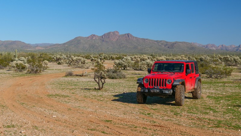
Considered the southern flagpole entrance, Black Hill is a main crossover type trail connecting several other trails that crisscross this region of the Florence, OHV area. Named after a nearby hill covered in black stones, the trail travels across the very flat and often muddy desert terrain. In dry conditions, the route can be completed in 2WD, but if it has rained within the last month, slippery mud puddles will likely require 4WD. The early portion of the route is used by boondockers in winter, making it a little more crowded. A mile into the trail, you will encounter more private and secluded scenic campsites hidden among the cactus. The views of the mountains to the east at sunrise are very welcoming to adventurous wheelers.
Updated: 05/20/2026
Superstition Old Turk's Head Loop
Gold Canyon, Arizona
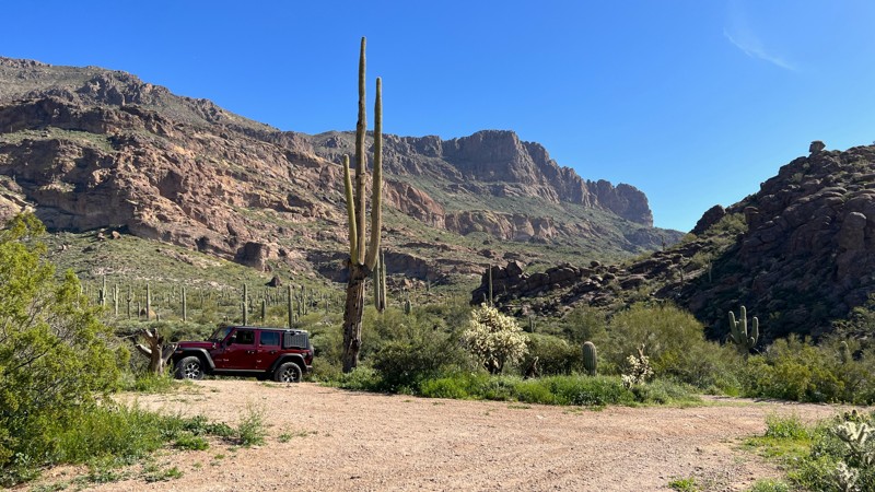
The Superstition Old Turk’s Head Loop Trail takes you on a journey through the Saguaro-filled desert to the edge of the Superstition Wilderness Area and a close-up view of Old Turk’s Head, a craggy rock outcropping . Along the way, you may encounter long-horned cattle and will cross the Gila Monster and Lost Goldmine, two popular hiking trails. While the desert is in full bloom, yellow, white, and purple flowers cover the ground creating a colorful photo opportunity with the Superstition Mountains in the background.
This trail is primarily loose rock but not overly aggressive on the difficulty scale. There are a few hill climbs and descents to tackle. A high-clearance vehicle is needed.
There are a few opportunities for camping. The first is a rocky turnaround area at the wilderness border. The second is at the top of the hill near the western end of the trail. Both sites have wonderful mountain views.
This area is Arizona State Trust Land. A recreational permit is required.
Updated: 10/15/2024
Park Link Camping Row
Red Rock, Arizona
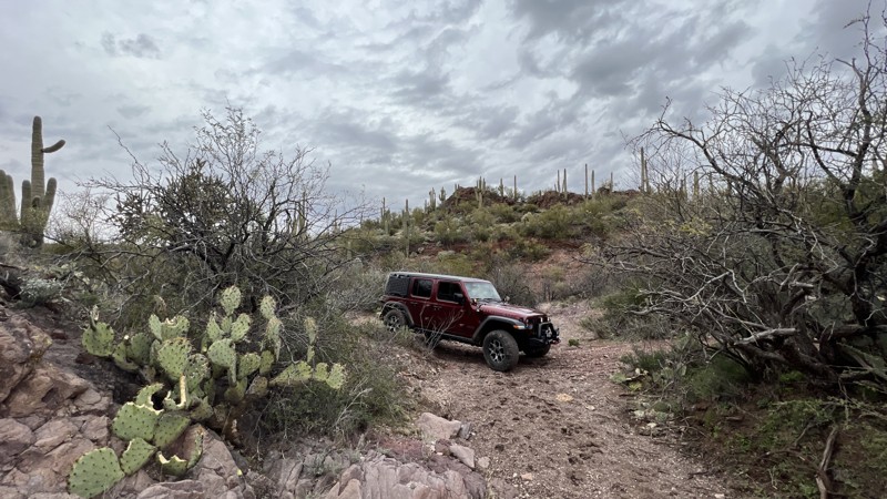
Park Link Camping Row is an easy trail that primarily runs parallel to Park Link Drive. The western end of the trail accesses a popular target shooting area along Desert Peak Mountain. The middle section of trail closest to the intersection of South Cattle Tank Road accesses an extensive BLM dispersed camping area. There are many sites available with fire rings. Some can accommodate multiple vehicles, while others are smaller. Sites are suitable for everything from a single tent to larger 5th-wheel campers. The trail gets more narrow to the east as it climbs into the mountains surrounding Chief Butte and Big Mine. The trail ends at the intersection with Chief Butte Road.
This trail crosses BLM land and Arizona State Trust Land. The section of trail surrounding the mine is private property, so please respect the landowner and do not venture off the trail. An Arizona State Trust Land recreation permit is required.
Updated: 12/15/2023
FR 9460T
Sedona, Arizona
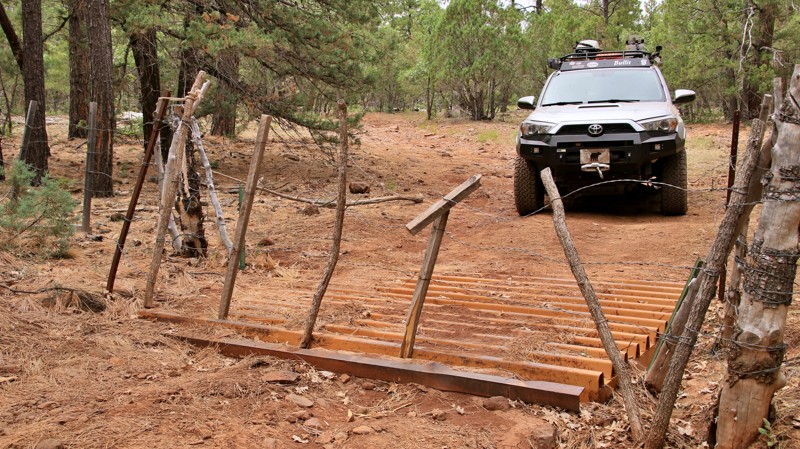
FR 9460T is the prototypical high country ranch road common in the Coconino National Forest. The trail winds through the Ponderosa pines, where elk and cattle comingle during the warm mountain summers. A loop of weathered rope from an old lariat drooped over a post keeps a rickety gate closed. Drift fences meander amongst the trees, tended even today by slender weathered cowboys on horseback. Earthen dams check small drainages capturing priceless runoff water for stock and wildlife. Nearby is Foxboro Ranch. In the early parts of the 20th century, well-to-do Eastern boys came to the "ranch school" at Foxboro. Besides the usual classes in mathematics, history, literature, and the sciences, the boys learned about work, cattle, and the feeling of being in a big land on a good horse. FR 9460T ends at a fence near the border of the small patch of private land left to Foxboro Ranch in the midst of this immense national forest. Those boys nearly a century ago rode that fence. It will still be there the next time you ride out on FR 9460T.
Updated: 10/28/2023
Blue Ridge Reservoir
Pine, Arizona
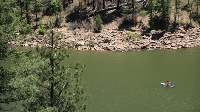
Large bodies of water in Arizona are rare and wonderful. Blue Ridge Reservoir sits high in the Coconino National Forest pine woodlands in the deep canyon formed by East Clear Creek. A few years ago, the lake was renamed C.C. Cragin reservoir when water rights management changed hands. But the signage and all the locals still call it Blue Ridge. Wonderful camping and hiking opportunities dot the trail leading to the reservoir. But the lake is the main draw. Anglers come to try their luck since the waters are regularly stocked with rainbow, brown, and brook trout. Colorful canoes and kayaks ply the lake's cold water. Paddlers often see elk and deer watering on the shoreline. Beyond the boat ramp facilities, the road gets a little rougher and less traveled as it winds around the lake towards the dam that blocks East Clear Creek to form the deep narrow reservoir. At the trail's end, a short walk along the lake leads to great views of the dam and its complex jigsaw-puzzle spillway. Come for the lake views, fishing, paddling, and even a campfire under starry skies. Blue Ridge has a lot to offer.
Updated: 02/17/2026
Savanic Mine
South Cove, Arizona
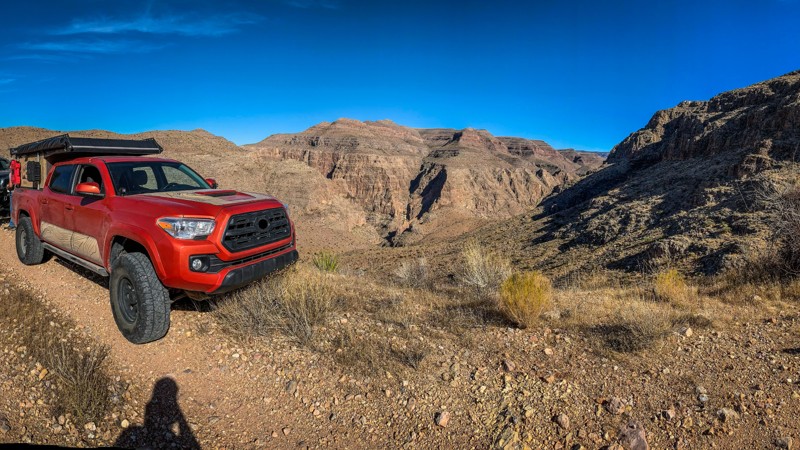
The NPS 153 trail, tucked away in the heart of the Arizona Strip, is an epic off-road adventure that is both thrilling and daunting. This unmaintained trail follows the perilous edge of the North Fork Canyon. Along the way, the trail offers breathtaking views of the rugged terrain and the remnants of the old Savanic Mine, a copper mining operation that dates back to the early 1900s. The challenging trail is also remote and difficult, thus not recommended for those without experience or proper equipment. Nor should this trail be run alone, as it could be potentially dangerous. If you're up for the challenge, the NPS 153 trail to the Savanic Mine promises an unforgettable experience.
Updated: 06/05/2022
Rocky Draw
Heber, Arizona
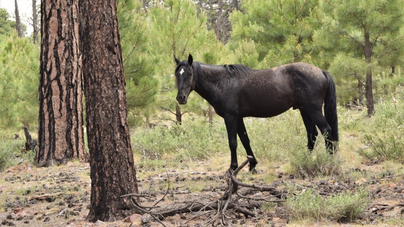
The trail system in Apache Sitgreaves National Forest is massive so it can be a challenge to find an easily accessible campsite. This easy gravel road brings you back into the Black Mesa region where there is vast history of early inhabitants and the settlers that came much later. This route travels past several great family and group campsites that can be accessed with a 2wd high clearance vehicle. There aren't any challenges along the route but rather ample opportunities to spot wild horses or hike one of the local trails.
Updated: 04/29/2024
Franconia Road
Yucca, Arizona
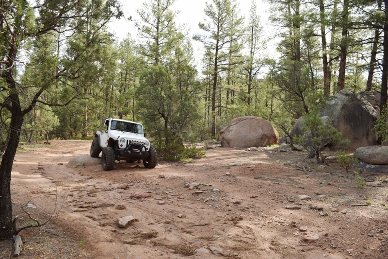
Franconia Road has been a popular backcountry route for generations, attracting prospectors, adventurers, and explorers in search of elusive gold deposits. Today, it remains a sought-after destination for those seeking treasures and a taste of the area's mining history.
In addition to its rich mining heritage, Franconia Road also offers insight into the region's military past. Bell P-39 and P-63 fighters used to routinely fly overhead, practicing in the nearby Yucca Air to Air Gunnery Range. The landscape still bears remnants of past training exercises and .50 caliber spent ammo, adding to the area's unique charm and history.
Whether you're interested in history or simply want to enjoy the stunning views of the Buck and Mohave Mountain Ranges, Franconia Road is the main artery into the north side of the Mohave Mountains. From this popular backcountry road, you can explore other fascinating destinations, winding through beautiful desert scenery that showcases the region's natural beauty.
Updated: 06/19/2024
Boulder Bypass
Young, Arizona
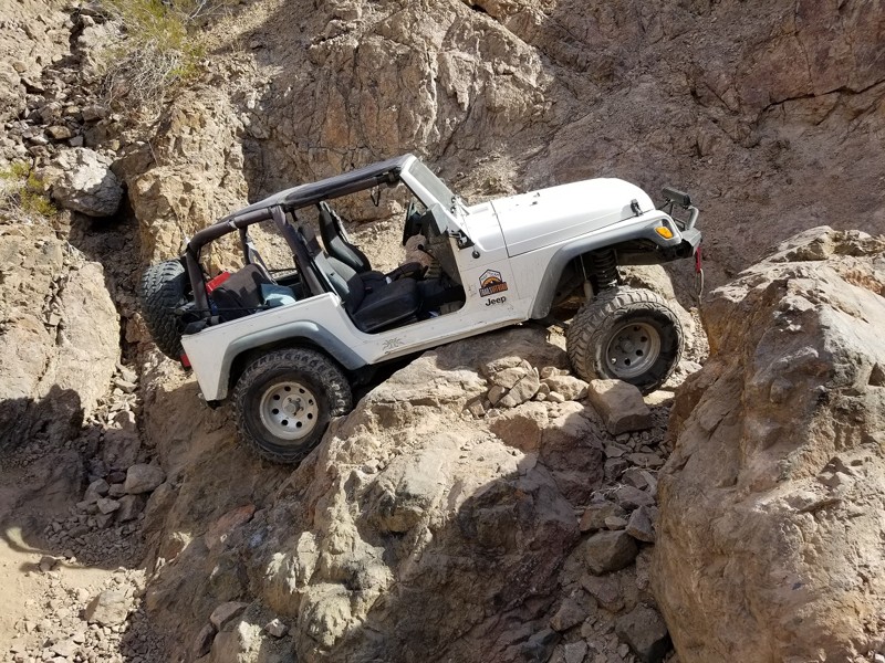
Young, Arizona is one of those isolated towns in the mountains that time has almost forgotten. The region is scattered with wonderful easy 4x4 trails that may hold hidden secrets. This particular by-pass trail from Haigler to Young, allows you to avoid the pavement through town but also catch a glimpse of some very unique and massively large boulders. They seem to have fallen out of the sky and landed in this small area. You can park or camp nearby to explore some of these large anomalies.
Boulder Bypass is a locals shortcut to get into Young without having to travel on Hwy. 288. While the trail may not be challenging, it's a great location for a remote camping experience while having access to Young and the Haigler Creek area.
Updated: 06/05/2022
Truman - Parker
Parker, Arizona
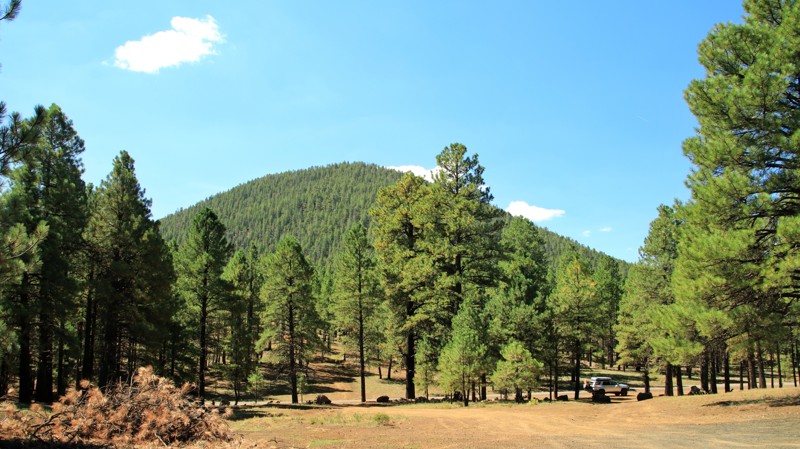
This intense wheeling... extreme 4x4... epic rock crawling... off-road extravaganza, is not for the faint of heart. Just near Parker, Arizona the Truman 4x4 Trail is full of large ledges and waterfalls. Add an extreme width restriction, and you are only asking for fun. For an additional bonus, there is an optional obstacle that is a 15+ foot vertical ledge, that's right 15 foot, you are in rollover backwards territory. Whether you are in a Toyota or a Jeep, by the time you get to the middle point of this trail you might be hoping you were in a buggy instead. That is only because this trail just seems to get harder, and hard, equaling more fun. If you dare to take on this extreme offroad trail, make sure you give yourself plenty of time and know where the nearest parts are, because you are going to have the time of your life.
Updated: 08/23/2022
Wing Mountain Road
Flagstaff, Arizona
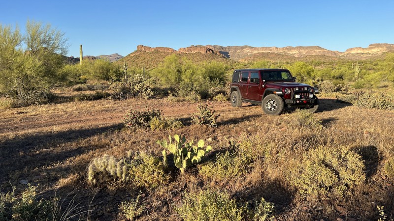
Wing Mountain Road is all about camping among the Ponderosa Pines of the Coconino National Forest in Arizona's high country. Just north of Flagstaff, the area is perfect for campers headed to the Grand Canyon, traveling I-40, attending Overland EXPO West, or just wanting to get away. There are dozens of great campsites along Wing Mountain Road. Ravens and blue jays will undoubtedly take note of where you choose to camp. In the Fall, you'll hear elk bugling. Named for the cinder cone volcano just south of the road, Wing Mountain Road cuts through the largest Ponderosa Pine forest in North America. You'll see plenty of old stumps. When the Atlantic and Pacific Railroad reached Flagstaff in 1882, numerous lumber yards sprung up. The mills heavily harvested the virgin pine forest. They shipped lumber by rail as far away as Albuquerque and Los Angeles. The stumps of the cut trees remain, but there are ancient Ponderosa Pines still residing in the forest. The bark of young pines is black. Once reaching a hundred years old, the Ponderosas have an orange-yellow color to their bark. Loggers differentiate the two by calling them "blackjacks" and yellow bellies." The wind in the tops of the pines sings a very relaxing song. Stop and take a listen.
Updated: 04/10/2026
West Tank Bypass
Gold Canyon, Arizona
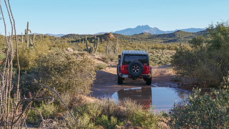
Branching away from the plentiful Superstition trails to the north, this trail heads south from Peralta Road and leads deep into desert cattle ranching territory. Most of this trail is packed dirt and rock. Multiple areas of washouts, small ledge drop-offs, and wash crossings tip the rating to a low-end moderate. Portions of this trail run through active cattle ranching land. Please respect the ranchers and leave cattle gates as found or follow the gate signs where posted.
Several camping locations are on the north end, closest to Peralta Road. These are larger locations with fire rings and can accommodate multiple rigs. There are no camping locations once south of the red cattle gate.
The trail ends on the south, intersecting the old and abandoned US 80 roadbed. Heading east, you will find a washed-out bridge from days gone by, and it will also take you back to pavement.
This trail traverses Arizona State Trust Land. A recreational permit is required.
Updated: 02/11/2026
Bulldog Canyon 3512
Apache Junction, Arizona
Traveling into the scenic Bulldog Canyon Off-Highway Vehicle Area, Trail 3512, is an ideal opportunity to have a memorable 4x4 experience and access to backcountry hiking. Stock 4x4 owners find the rocky hill climbs and tippy ledges exhilarating and challenging. Low-range gearing, high clearance, and durable tires are needed for this route. Please stay on the clearly marked trail. A Tonto Motorized Vehicle Use Permit is required to access this road, which is only available online. Permits are not available at the District Office.
Camping is sparse along the route, with only a few primitive campsites being found along the way. The best camping is at the north end, where the backcountry hiking trails begin. Due to Forest Order 03-12-03-22-34, camping is prohibited within 1 mile from Hackamore Staging Area until at least January 12, 2026.
Updated: 10/15/2024
Crazy Jug Point
Ryan, Arizona
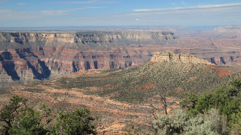
Besides having a cool name, Crazy Jug Point offers great views and some nice campsites. The roads are in good condition with a couple of moderate climbs and descents. FR 292A, the western spur, services the Bill Hall Trailhead and has a couple of campsites right on the edge of the rim. FR 292B, the southern spur leads to amazing views and a nice campsite.
Updated: 06/05/2022
Saddle Mountain
Payson, Arizona
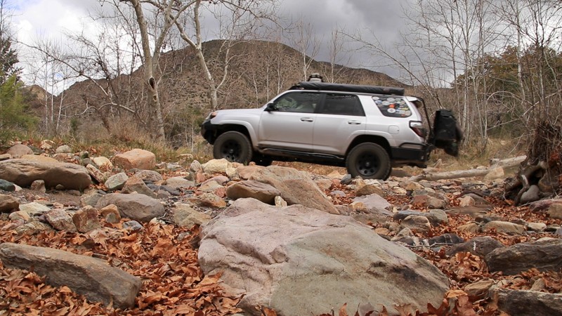
Located in the Tonto National Forest, at 2,873,200 acres, the largest of Arizona's National Forests, Saddle Mountain follows the sycamore-lined east and west forks of Sycamore Creek before beginning a climb that offers long views across a vast landscape of rolling hills and deep canyons carved by small streams fed by runoff from the looming Mazatzal Mountains, one peak being named Saddle Mountain, elevation 6525 feet. You will know which it is just from the name. The name Mazatzal is difficult to pronounce. Locals often just refer to the Mazatzal Mountains as the Mazzies. The name is attributed to an obscure native language now only spoken in central Mexico. It means "place of the deer." As difficult as the name may be, traversing the Mazzies is infinitely harder. The rugged and nearly impenetrable mountains, encased in the Mazatzal Wilderness Area, form a north/south spine in central Arizona crossed by no roads and very few foot trails. Saddle Mountain leads to one of those trails, the famed Arizona Trail, a National Scenic Trail that traverses Arizona's entirety from Mexico to Utah. The trailhead at the end of Saddle Mountain is unimpressive, but it sits on the edge of the vast and remote Mazatzal Wilderness. However, if you wish to be truly impressed by this trail, backtrack to one of the idyllic campsites along the West Fork of the Sycamore and set up camp beside that babbling little brook under the shade of the white-trunked sycamore trees. Kick back. Listen to the water rushing over the stones and the song of the wind in the treetops. Life doesn't get much better.
Updated: 06/05/2022
Beaver Dam Sinkhole
Beaver Dam, Arizona
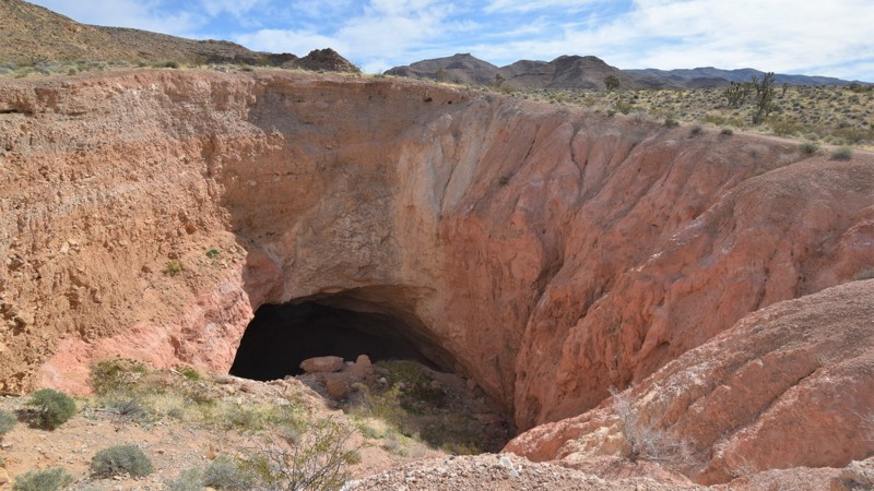
Natural wonders are hidden all over the southwest United States. Often times the hardest part can be finding them. The Beaver Dam Sinkhole is one such spot where you would drive right past it, never knowing it was there. This interesting land formation is completely natural and is bound to impress even the most hardened adventurer. You will travel down an easy side trail off of Cedar Pocket to a large and deep hole in the ground. You can drive and park right along the edge to capture wonderful pictures of this unique landmark. If you dare, you can attempt to climb down into the hole. Understand that it's very steep and the dirt is very loose. A long climbing rope should probably be used and attached to your vehicle to safely attempt this feat.
Updated: 11/27/2023
Turkey Butte Lookout Loop
Kachina Village, Arizona
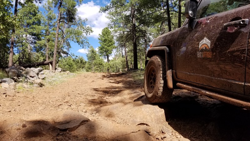
If you like fire lookout stations and muddy roads, you'll love this trail. While the southern portion is muddy and rocky, the funniest part of this trail is easily accessed until you reach the gate that stops you from driving all the way to Turkey Butte Lookout Tower. The remaining trip to the tower will require hiking up a steep dirt road, and depending on who is manning the tower you may or may not be allowed a tour.
Updated: 05/29/2024
Franconia Wash
Yucca, Arizona
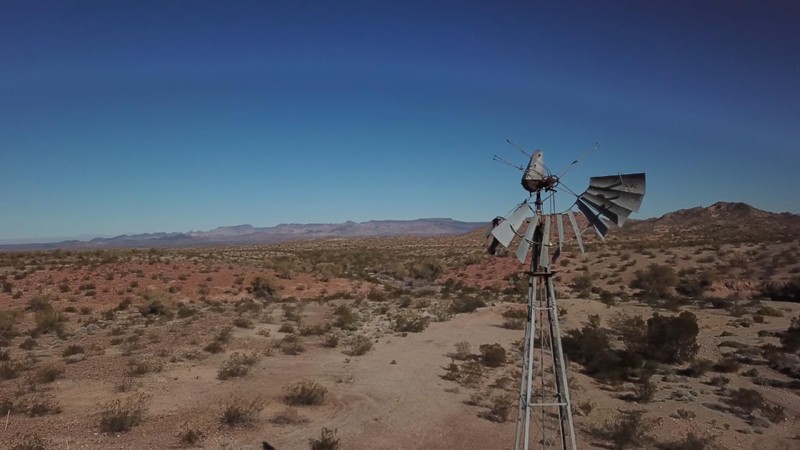
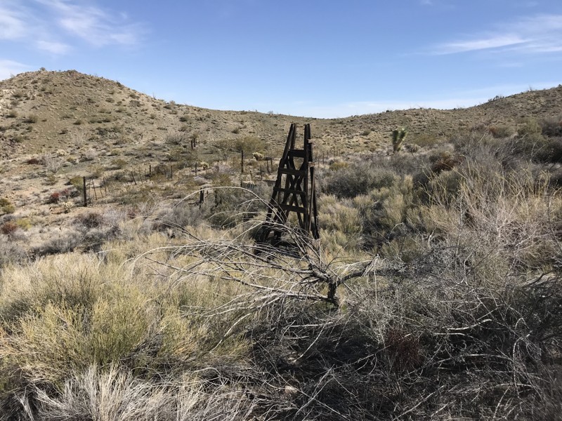
Franconia Wash backcountry road is located on the north side of the Mohave Mountain Range, which separates Lake Havasu City from the desert to the north. As the crow flies, this trail ends less than 10 miles from the outskirts of Lake Havasu City and offers much different scenery than the south-facing side of the mountains. The north side of this mountain range has lush green grass plus a large variety of plants, offering seasonal blooms in late winter and early spring. Along this drive, you pass through numerous gold mining claims and see old cabin sites, a game water collection structure, an old car, and a wood-framed water windmill structure. Some of these highlights require a quarter-mile hike over hilly terrain with prickly bushes and cacti all along the way. On a clear day, you can see Yucca and the surrounding area up to the power plant off Griffith Road and a little bit of Golden Valley.
Updated: 05/20/2024
Rockhouse Cabin
Wikieup, Arizona
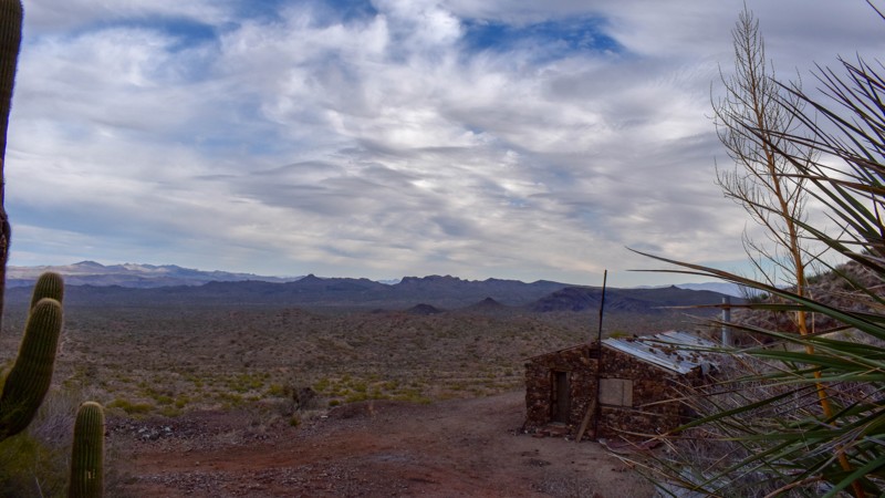
Rockhouse is a fun trail in the Mohave Desert less than two hours from Wickenburg or Lake Havasu City, with a fantastic blast from the past stone cabin at the end. The cabin is well used and cared for by visitors with knickknacks on the shelves, bottles at the bar, a picnic table, and a few chairs. There are foundations from either milling or processing below and remains of two ore cart paths leading from the adit behind the cabin.
The mineral deposits on this mountain were discovered in 1874 by "Chloride Jack" Owen and Jackson McCrackin, after whom the mountain and the initial mining claim were named. Within a few years after its discovery, prospectors and mining companies staked their claims on and around these mountains, with 130 mining claims surrounding McCracken Mountain. The information on the cabin is jumbled, as there are a dozen stone cabin remnants around this mountain, many of which were boarding houses for the miners. Rockhouse Cabin is the best-preserved cabin around and well worth the visit. From the views to the geology and the history, there's something in this trail for everyone.
This remote stretch of desert is home to annual dark sky events where stargazers set up their telescopes and enjoy the lack of pollution from the city lights. With the nearest highways and train tracks over 20 miles and a mountain range away, the only distraction will be the spotty cell service.
Updated: 07/04/2024
Sharp Hollow
Heber, Arizona
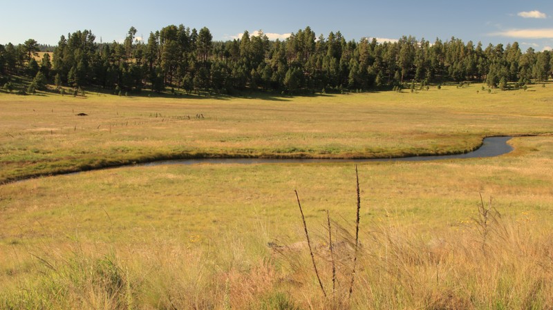
Exploring the Apache Sitgreaves National Forest has its challenges. One of them is finding a decent trail that's a little less traveled that may actually require 4x4. Sharp Hollow in the Black Canyon area is a great alternative from all the groomed gravel roads that crisscross the rim country. The trail travels through a pine and rock-lined canyon with a couple of great campsites that give you that backcountry feeling without all the effort. The trail has two easy access points to help you get to camp or just pass through to get to other trails.
Updated: 04/21/2025
Price Cutoff
Florence, Arizona
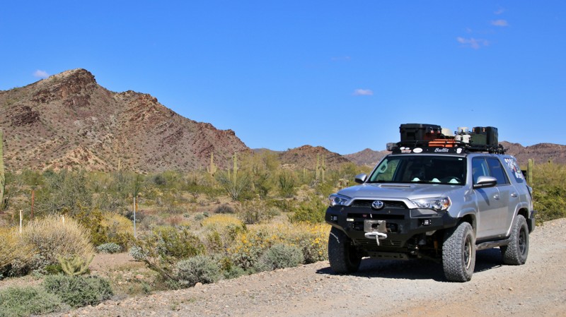
Considered the early cutoff along Price Road, this crossover trail connects to the popular Cottonwood Canyon Road. The views and desert vegetation create a scenic leisurely cruise through the desert. Price Cutoff has deep washouts, rocky ledges up to 10 inches, and mud during winter months. Most of the route can be completed in 2WD, but there are sporadic rough spots. The trail is ideal for vehicles with 4x4 high clearance and durable off-road tires. There are no significant height or width restrictions for larger overland vehicles, but the off-camber washouts may be an issue.
Camping is more than abundant. You can stay close to the crowds or drive deeper to find a quiet primitive campsite.
Updated: 04/13/2026
Black River Road
Hannagan Meadow, Arizona
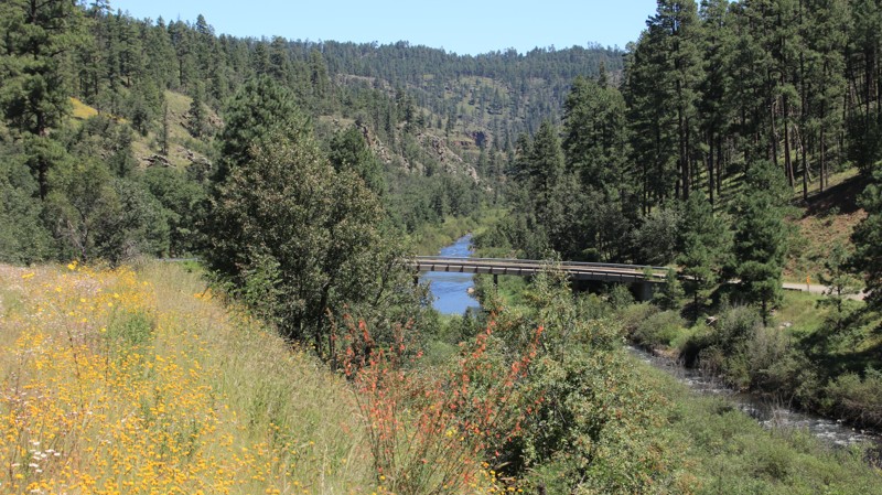
Black River Road, named for the wild mountain waterway it crosses, traverses beautiful forests and areas burned by the devastating Wallow Fire of 2011. The roadway is generally well-maintained but has a whole lot of curves, switchbacks, climbs and descents, and shelf roads. A long narrow bridge spans the Black River at the bottom of its steep-walled canyon. The river is a favorite with anglers looking for wily trout. The bridge has a pullout suitable for three camping vehicles. There's also plenty of large disposed campsites along the trail, often used by hunters in the Fall.
Updated: 03/02/2024
Blevens Road
Quartzsite, Arizona
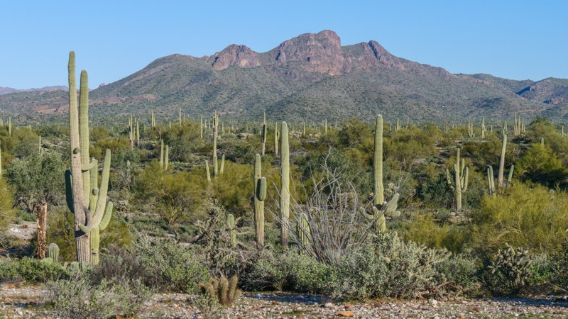
The tremendous heat and pressure form gold, other heavy minerals, and most semiprecious stones deep under the earth's surface. Sometimes, that pressure forces its way to the surface through faults, bringing rare minerals and stones. Such forces formed the Kofa Mountains and the various surrounding mountain ranges. Gold and other valuable minerals lured fortune-seeking prospectors and miners to these mountains in the mid-1800s. Today, most of the mines are inactive. However, mild winters lure visitors to Quartzsite and its broad valleys and rugged mountains. Some visitors drive Blevens Road to Crystal Hill to scratch through the multi-hued soil on its slopes in search of a wide variety of rare stones. Even if you are not a gem collector, Blevens Road offers an easy drive through a sand and gravel desert filled with saguaro, ocotillo, cholla, ironwood, jackrabbits, and hummingbirds. To either side are inspiring views of the Kofa and New Water Mountains. The openness of the desert makes for leisurely strolls to take in the austere beauty of this arid environment. The adaptability of animal and plant life deserves to be examined and understood at arm's length. Just don't step on a cholla ball.
Updated: 08/27/2025
Water Canyon Road
Eagar, Arizona
Water Canyon Road begins in the outskirts of Eager and runs nearly 20 miles to end on FR 249 near Big Lake. Just outside Eager, the trail passes the Water Canyon hiking trailhead, which boasts a vault toilet and a day-use picnic area. The road switchbacks steeply up into the White Mountains, offering great views back towards town. The road passes Little George Reservoir before breaking into a massive alpine meadow. At Crosby Crossing, a small bridge spans the winding East Fork of the Black River as the trail climbs into a forest of pines, spruce, fir, and aspen.
There are numerous dispersed campsites along the road and the edges of the alpine meadows. Big Lake has limited services and several USFS campgrounds.

Upgrade your Membership
Unlock all of the details on every Trail Guide and Scout Route.
Start a 7-day Free TrialCommunity
Partners

