






By clicking "ACCEPT", you agree to be the terms and conditions of each policy linked to above. You also agree to the storing of cookies on your device to facilitate the operation and functionality of our site, enhance and customize your user experience, and to analyze how our site is used.
Arizona Off-Road Trails
373
Total Trail Guides 359

4679
Detailed Waypoints 676
Try a Free 7-Day Trial and unlock it all
Start a Free Trial Most Recent Trail Reviews
Rated 4/5
Open
Visited: 09/22/2026
Hard pack, easy forest service road that is a great back way to the North Rim of the Grand Canyon.


Tyler D’Hulst
Rated 4/5
Open
Visited: 09/22/2026
Spring Canyon is a beautiful drive. We didn’t go out to the cabin but used this western section of road coming back from Crazy Jug

Tyler D’Hulst
Rated 4/5
Open
Visited: 09/22/2026
We took this out to Crazy Jug. The northern section is hard packed forest service road. Not difficult. Very scenic drive through the ponderosas.

Tyler D’Hulst
Rated 5/5
Open
Visited: 09/22/2026
View point is spectacular! Trail was easy going out, no obstacles at all. Saw a Toyota Camery at the viewpoint.


Tyler D’Hulst
Rated 3/5
Open
Visited: 09/22/2026
An alternative route out to Crazy Jug Point. It’s easy and can be scenic in areas. I’d recommend West Ryan out to Crazy Jug though.
Tyler D’Hulst
Rated 3/5
Open
Visited: 09/22/2026
A quick connector trail through the burn patch.
Tyler D’Hulst
Rated 5/5
Open
Visited: 09/20/2026
Leviathan Mine trail is a full day trip. Though it is only 20 miles in length the travel is slow and rough. Majority of the trail you will be going between 5-10 MPH. Then once at the end it connects w...



Eric Gartin
Official Crew
Rated 4/5
Open
Visited: 09/19/2026
Simple road, well graded today. Many mountain bikers coming down from the West out of Breezy Pines. Not too many people out until approaching Senator Hiway. We went East to West as I think thats a bet...



Jeff Burnett
Rated 3/5
Open
Visited: 09/19/2026
The trail itself is not spectacular, it's pretty flat across the plains. However, driving up to the overlook and seeing a huge gaping hole in the ground is a great juxtaposition to the flat trail. The...
Tyler D’Hulst
Rated 3/5
Open
Visited: 09/19/2026
A nice trail ride from the main road down off the plateau. It's graded forest service road until the switchbacks. The switchbacks themselves are not difficult, road is not graded. This section has bee...
Tyler D’Hulst
Rated 3/5
Open
Visited: 09/18/2026
The end of the trail is not well marked, and can cause confusion. Also, vehicle passes are required for all backcountry routes within the Lake Mead National Recreation Area.
Eric Gartin
Official Crew

Ted Whisler
No Rating
Open
Visited: 09/17/2026
Nice ride west side a little rocky but rating is true to #2


Ted Whisler
Rated 3/5
Open
Visited: 09/15/2026
A nice drop off the plateau heading towards Marble Canyon. Not a difficult road. Road is weathered but not challenging.
Tyler D’Hulst
No Rating
Temporary Closure
Visited: 09/15/2026
Road closed due to multiple washed out wash crossings after the turn off to go up the mountain. "Road Closed" sign put out by BLM on trail.
Tyler D’Hulst
No Rating
Temporary Closure
Visited: 09/15/2026
After the turn off to head up the mountain there are multiple washed out wash crossings. A "Road Closed" sign has been put out by the BLM.
Tyler D’Hulst

Ben Ruddell
Official Crew
Rated 4/5
Open
Visited: 09/14/2026
Bogles Ranch Road is a great Sunday afternoon drive type of dirt road that climbs up in elevation and gives some spectacular views of the surrounding area. The first half passes through State and Priv...


Eric Gartin
Official Crew
Ben Ruddell
Official Crew
Rated 3/5
Open
Visited: 09/14/2026
Antares Road is an excellent way to travel from Route 66 to the eastern portion of the Lake Mead National Recreation Area. This wide county road is well maintained with minor washboarding, most of whi...


Eric Gartin
Official Crew
Rated 3/5
Open
Visited: 09/14/2026
Hackberry road is a wide dirt road with minimal erosion damage and washboarding. There are a couple of larger washes that cross Hackberry road creating wide stretches of loose sand which can cause iss...


Eric Gartin
Official Crew
Rated 3/5
Open
Visited: 09/13/2026
This is a very rough, rocky, & slow going trail. Expect around 4+ hours for the trail & another hour to get the highway. One of those trails I'm happy I did but I wont be back personally. High clearan...

Brandon W
No Rating
Open
Visited: 09/12/2026
I think the rating is spot on. The ruts and washouts at the beginning are not as bad and if you hug the inside of the shelf road they can be avoided. The middle part is same general sandy wash with ov...



Greg Page
Rated 4/5
Open
Visited: 09/11/2026
Ran this trail as part of a larger loop. Trail is in great shape. Easy for standard 4x4 with no lift. Passengers can do it until maybe the very end by the lake where the road gets rocky and washed out...


Jeff Burnett
Rated 5/5
Open
Visited: 09/10/2026
This is one of my favorite scenic trails in the area. The trail is easy to travel, but does have some optional short trails that will test your vehicle. The views from the Grand Wash Cliffs of the Hua...


Eric Gartin
Official Crew
Rated 3/5
Open
Visited: 09/07/2026
This trail by itself is nothing special. It is mostly used as an access road to get to the more technical trail such as Homecourt, Twister, and Waynes World. This is a great trail for the beginner to ...


Eric Gartin
Official Crew
Rated 3/5
Open
Visited: 09/07/2026
This trail is an enjoyable alternate route when traveling on Blake Ranch Road (7163). The trail is easy with only a handful of spots with erosion damage. The few established camping sites appear to n...


Eric Gartin
Official Crew
Rated 5/5
Open
Visited: 09/07/2026
Ran this trail from Boynton Pass Road to Loy Butte Road (opposite direction from what is listed). Ran into a few rental ATVs and a couple of Jeeps heading the opposite way. This was a fun trail wit...



Daniel Macioce
Rated 5/5
Open
Visited: 09/07/2026
This trail was a lot of fun, plus the views were amazing. I ran the trail in the order posted, starting at the south trailhead and finishing at the heritage site. Past a motorcycle, a few jeeps and a...


Daniel Macioce
Rated 4/5
Open
Visited: 09/07/2026
Nice trail, ran West to East. For some reason the map shows this a a one-way trial, East to West. That is not the case, it is a two way trail. Was pretty washed out starting around mile 12. Plenty roc...


Jeff Burnett
No Rating
Open
Visited: 09/06/2026
New trail for me. You didn’t know what it would throw at you around every corner which is why you try to find new trails or old forgotten ones
KB
Kory Burden
Rated 5/5
Open
Visited: 09/06/2026
The trail is no joke—steep, narrow, and technical enough that you’ll want to be comfortable with off-camber shelf roads, rocky terrain, and washouts that will test your vehicles articulation. The rew...



Bobby Rumbaugh
Official Crew
Rated 5/5
Open
Visited: 09/06/2026
Fun trail if you don't want to do pyeatt draw itself. Ran this trail 3yrs ago and definitely a little more erosion but, still any truck or suv with good factory ground clearance can do it. From previo...
JM
James m
Rated 4/5
Open
Visited: 09/06/2026
Ran this trail from I-17 to Sedona. Extraordinary views descending into Sedona. As others have noted, there are lots of rock on the trail, making it slow going. Passed a large number of Pink Jeeps ...


Daniel Macioce
Rated 4/5
Open
Visited: 09/05/2026
This one definitely changed over the last few years. The southern section has some legit, steep, off-camber sections. YOU NEED experience, backup, and a capable vehicle on this one now. It's not supe...


.jpg)
Bobby Nelson
Official Crew
Rated 4/5
Open
Visited: 09/05/2026
Another amazing time on this scenic crossover. We came in from Walnut Canyon and finished out on Price Road after about 6 hours. A challenging and hot day for the old TJ. Rincon Road has evolved into ...


Bobby Nelson
Official Crew
Rated 4/5
Open
Visited: 09/05/2026
We started exactly at sunrise to try and beat the heat. We planned to crossover to Box Canyon and out on Price Road. It ended up taking us 6 hours, even with all the photos and filming we did. A chall...


Bobby Nelson
Official Crew
Rated 5/5
Open
Visited: 09/04/2026
We recently ran Four Peaks after the monsoon rains. Here’s what we found and what to expect if you’re planning to run it. Have a GR8 day!

Jeep 4 Dirt
Rated 5/5
Open
Visited: 09/04/2026
Breathtaking views. Definitely don't rush through the trail. Devil's staircase was a bit slippery but awesome. A few tight stops here and there, but a trail that's a must on anyone's to do list.



Christopher Bradley
Rated 4/5
Open
Visited: 08/30/2026
Id say this is a 3.5 to 4 trail. There are some obstacles, but nothing you really need to think hard about how to approach. If you send your vehicle at it in 4 low you'll get through everything.



Justin Holsinger
Rated 4/5
Open
Visited: 08/28/2026
Rim Road (FS300) West to East. Very well groomed gravel forest road. Accessible by just about any vehicle thats not been lowered. Who does that anyway? Scenic views the whole route. Hard to believe on...


Jeff Burnett
Rated 4/5
Open
Visited: 08/28/2026
Not a bad road but it was crowded with sxs and vehicles towing campers. Hard to rate 5 stars for a busy road. Super easy any vehicle can do this. Part is paved near the freeway but the rest is gravel.

Tony Rockwell
Rated 4/5
Open
Visited: 08/28/2026
I rated 4 stars just due to the volume of sxs & camper trailers on the road.
Easy drive, any car can do this.
Ran from sheep springs to munds park, see other reviews for full route.

Tony Rockwell
Rated 4/5
Open
Visited: 08/28/2026
I ran Bar M in reverse to get to this trail. Then headed toward Casner Park Road. (See reviews I did on each of those)
Nice easy trail that is less rough than Bar M.
Nice drive through trees.


Tony Rockwell
Rated 5/5
Open
Visited: 08/28/2026
Very bumpy due to rock infused trail. A few larger rocks, 8-12” tall in places but most stock 4x4’s should be able to navigate around or over them. I would say any 4x4 with all terrain tires could nav...


Tony Rockwell
Rated 3/5
Open
Visited: 08/27/2026
Overall decent little trail; camped out near Committee Tank (not suitable for tent camping - too rocky). Nothing too technical but enough to keep things interesting. High clearance and good line choi...


Bill Ferguson
Rated 3/5
Open
Visited: 08/27/2026
Connector from FS801 (Rock Garden Loop) to FS09494F (Committee Tank Trail); yeah, it lives up to its namesake. Very rocky. High clearance and picking good lines are an absolute must. Car camped at...

Bill Ferguson
Rated 5/5
Open
Visited: 08/27/2026
Nice trail saw some deer it’s a little rough but overall was easy


M
Maddox
Rated 5/5
Open
Visited: 08/23/2026
Great little adventure for the day. Dirt road is pretty rutted up due to monsoons, but easily drivable. Lake itself is extremely low.
LL
Larry Lapp
Rated 4/5
Open
Visited: 08/22/2026
A fun side trip that has a steep hill climb. Due to recent rains, the wildflowers were blooming.


Bobby Rumbaugh
Official Crew
Most Popular
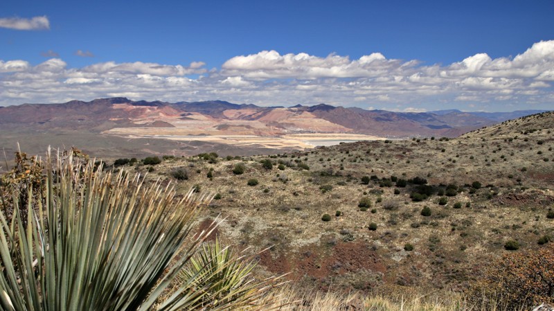
Updated: 04/29/2024
Black Hills Back Country Byway
Safford, Arizona
The Black Hills Back Country Byway is a scenic gem, not to be confused with the nearby Black Hills Rockhound Area, which holds real gems. In winter and early spring, Mount Graham, to the west, is likely to be snowcapped, which is a rare view in southern Arizona. Informative kiosks beckon the inquisitive to stop and learn about the geology and history of this most interesting area. Forever vistas appear as the trail winds higher into the hills, but keep your eyes on the road around those blind switchbacks. The massive Morenci copper mine tailings appear halfway through the trip, a palette of pastel pinks, purples, creams, and blues. A kiosk near the eastern end tells you everything you ever wanted to know about copper.
The trail crosses the wild Gila River on a bridge constructed in 1918. Shaded day-use areas beckon travelers to stop for a while and enjoy the sounds of the birds along the often muddy Gila. Nearby Owl Creek will gladly lengthen your time along the trail with a dark sky starry overnight.
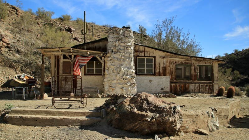
Updated: 04/24/2023
McGuffie Cabin
Yucca, Arizona
Old cabins in remote desert areas are fascinating glimpses into our history. But the story of the McGuffie cabin may surprise you. Venice McGuffie was born in Nebraska in 1890. She moved to Arizona sometime around 1930. In the late 1930s, she bought the mine near today's cabin. Venice worked her mine, which produced gold, silver, copper, and lead. Although Venice was married four times, she worked the mines herself. In 1945 she built the cabin at the cost of $1,000. She also built the dam near the cabin. For a while, she owned and operated the Congress Cafe, now Nichols West, in the tiny town of Congress near Wickenburg. Besides being a good miner, she was apparently a pretty good cook. In October 1983, Venice died in Wickenburg at the age of 93. Different offroad and historical groups have helped maintain the cabin since her death. Please respectfully enjoy the cabin when you visit.
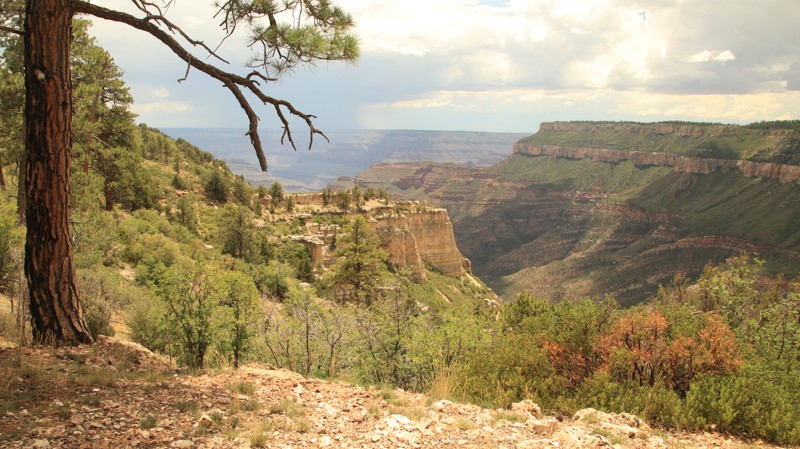

Updated: 10/15/2024
Swamp Ridge Road
North Rim, Arizona
Swamp Ridge Road passes through old-growth pines and fields of ferns to a great view into the Grand Canyon and the North Bass Trailhead. The end of the trail is inside the Grand Canyon National Park. The trail also connects to Kanabownits Road, which ends on Point Sublime Road. Be prepared to clear downed trees. Camping inside the park requires a backcountry permit. Camping along the trail outside the park is free.
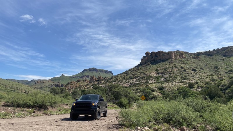
Updated: 10/15/2024
Geronimo Trail
Taller Dávila, Arizona
Those wishing to escape the hustle and bustle of life will enjoy Geronimo Trail. Starting outside Douglas, AZ, this remote trail follows winding dirt roads, passes several historic sites, and ends in New Mexico. The first ten miles of this trail run parallel to the U.S. and Mexico border and comes within 200m of the border wall. Travelers have a clear view of Mexican Federal Highway 2, which runs parallel to this trail on the opposite side of the wall.
History buffs will enjoy seeing monuments dedicated to the Mormon Battalion, which passed through this area in the 1840s. John Slaughter, a well-known lawman in nearby Tombstone, AZ, also made this area his home. Those interested can visit the Slaughter Ranch Museum, which lies along the Geronimo Trail. The museum costs $5 and is worth the time to visit.
After passing the Slaughter Ranch Museum entrance, the trail shifts north and winds its way towards the Peloncillo Mountains. Scenery rapidly changes from the relatively flat grasslands of the San Bernadino Valley to dramatic rock formations. The trail follows a creek bed, and sycamores, oaks, and juniper trees become more common as the trail gains elevation. In the monsoon season, the creek beds become low water crossing points. There are approximately 7-10 of them throughout the trail.
A monument separates the border of Arizona and New Mexico and is not far from where Geronimo surrendered to U.S. Soldiers. One final historical marker is dedicated to the Mormon Battalion at the Clanton Draw. In 1846, the Mormon Battalion traversed this terrain by unloading their wagons and lowering them down a 40 percent grade with ropes.
No 4x4 is required, but having a vehicle with higher ground clearance will make the ride smoother. There are multiple dispersed campsites along this trail, but the best are found in the Whitmire and Guadalupe Canyon Wilderness Areas. These locations are first come, first serve.
Updated: 07/18/2025
Blue River Road
Alpine, Arizona
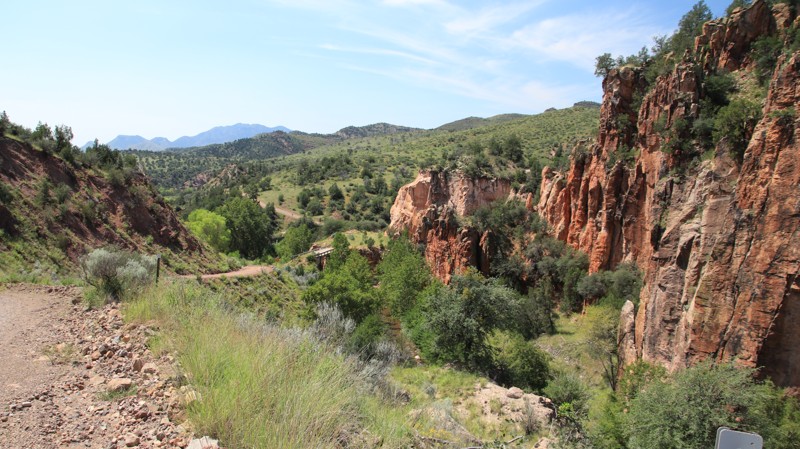
One of the better scenic drives in Arizona, Blue River Road runs southward for almost 32 miles from Highway 180 just east of Alpine, ending at a gated parcel of private property. The first few miles of the road pass through a pine forest before dropping into the Blue River valley. The scenic road crosses the Blue River several times via one-lane bridges or fords. The crossings are shallow and hard-bottomed. Ranches border the trail. The small remote hamlet of Blue boasts its own post office, school, and library.
There is minimal dispersed camping along the route. However, two free campgrounds, Upper Blue and Blue Crossing have three campsites with picnic tables and fire pits. Two of the sites at each campground have Adorondaik-style shelters. Each campground also has a vault toilet.
Bonus points if you locate the 1896 inscription chiseled into the rock by Clay Hunter. It is just north of a one-lane bridge, about 8.5 miles from the north end of the road. Look low.
Updated: 04/01/2025
Rolls 1343
Mesa, Arizona
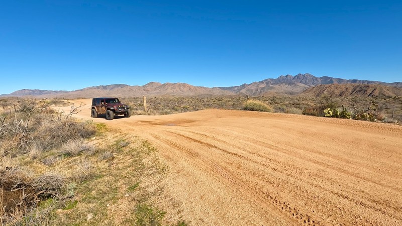
The Rolls OHV Area is located just outside the Phoenix Valley, in Tonto National Forest, and covers 27,000 acres. It features 65 miles of varied-width trails, offering breathtaking views and hiking trails around the Four Peaks, along with camping, fishing, and water sports at the back coves of Saguaro Lake.
The trails in the area cover a wide range of terrain, including deep sandy washes, hard-packed dirt, loose rock, and steep bedrock climbs. Most can be enjoyed by high clearance, stock 4x4 vehicles. However, there are a few more challenging spots, primarily on the eastern edge of the Rolls, that would require a more modified vehicle.
Updated: 04/28/2024
Boynton Pass Road
Sedona, Arizona
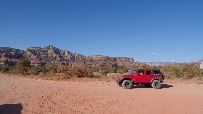
Boynton Pass Road, just outside of Sedona, is a gateway road into an inspiring area with the cliffs of the Red Rock Secret Mountain Wilderness Area to the north, and the Cockscomb to the south and further to the west Casner Mountain and Black Mountain. It allows for a more scenic and easy going route into this OHV area rather than traveling 89A. You can connect to one of the better trails in the area, Diamondback Gulch, which is one of the more challenging trails in this immediate area.
Updated: 06/20/2024
Elden Lookout Road
Flagstaff, Arizona
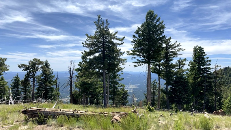
This route is short and sweet. Elden Lookout Road winds steeply up the west flank of Mount Elden, the 9000-foot mountain around which wraps Flagstaff and Route 66. From the peak, the views are excellent. It’s a nice place for a picnic or stargazing. The summit can be windy, especially in Spring. The real highlight and reason most use this road is the collection of hiking trails and mountain biking singletracks that crisscross the mountain. The trails include Elden Trail, Sunset Trail, Brookbank Trail, Rocky Ridge Trail, Oldham Trail, and more. Mount Elden is a frequent host of professional mountain bike races. Unfortunately, the 2019 Museum Fire burned much of this route, so it is now a monument to the damage of a forest fire and the catastrophic debris floods that often result. In 2019 the Museum Fire was the worst early-season fire in the country and attracted a large number of airborne firefighting assets. The fire nearly burned into the City of Flagstaff.
Updated: 02/11/2024
Bar M Road
Munds Park, Arizona
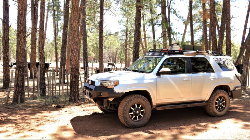
A drive along Bar M Road takes you back in time. On the east end, the hundred-plus-year-old Brolliar Cabin sits on the edge of an alpine meadow. Born in Iowa, David Brolliar built his one-room cabin in 1911 and raised cows and crops on the prairie now known as Brolliar Park. He lived there alone until his death in 1938. Today, the cabin is a great spot to watch elk, deer, and pronghorn grazing on the park. A small pond beside the cabin often hosts migratory geese. The cabin is a short walk from the road. Farther west along the trail, ranchers use the forests and parks for summer grazing, just as they have for the last century. Branded cattle roam wild until the fall roundup when they are moved to lower elevations and winter pastures. The road nostalgically passes an old corral, battered and worn but still in use. Take a drive back in time on the Bar M. The road is a little bumpy, but so is the region's history.
Updated: 08/12/2023
Casner Park Road
Munds Park, Arizona
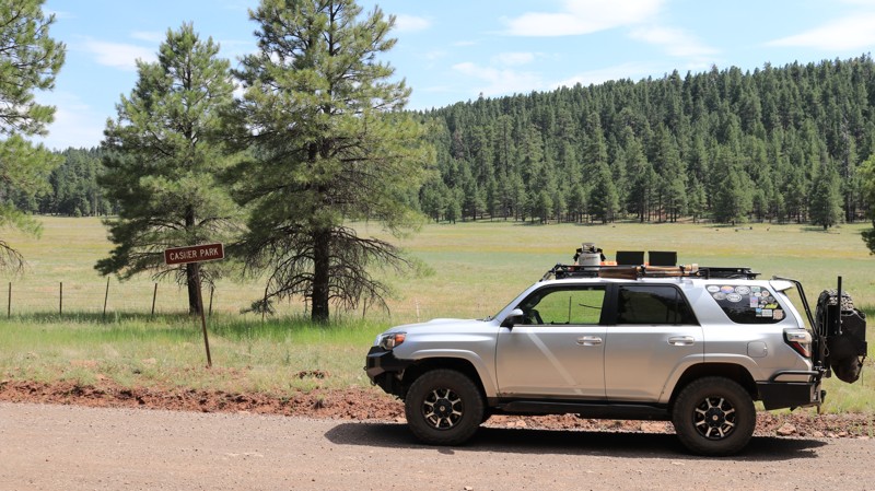
Casner Park Road is named, like many of the original roads in the area, for the broad grassy meadow along which it meanders just a few miles out of town. Here beautiful alpine meadows are called parks. Casner Park and Bert Lee Park, which the trail briefly passes later, are named for the hardy pioneer families who settled nearby. Casner Park offers broad vistas, and numerous shady campsites are nestled in the pines along its edge to enjoy those views. There are many campsites along the trail, and it's a favorite summer weekend destination for desert dwellers escaping the heat, enjoying the forest beauty, and happily parading every kind of ATV imaginable. The trail climbs enough that fir, spruce, and a few aspens line the road before dropping back down a bit. The final curve in the trail delivers an almost shockingly unexpected view across the 3-mile diameter Mormon Lake, a sometimes lake, most times grassy meadow.
Updated: 02/11/2023
Hoodoo Wash
Quartzsite, Arizona
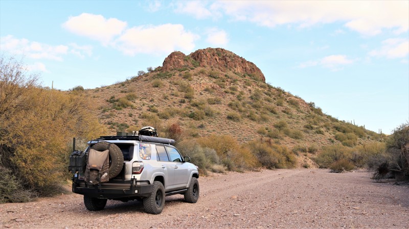
Early pioneers, mostly miners and ranchers, used broad sandy washes as ready-made roadways through the rugged landscapes of southwestern Arizona. A perfect example of that pioneer ingenuity is the use of a convenient section of Hoodoo Wash as a route into the edges of the rugged Kofa Mountains. The Wilbanks family settled on the western end of Hoodoo Wash, building a fine home and raising cattle. Their story is one of gritty determination to overcome the obstacles thrown their way. Their house burned, and they rebuilt the two-room cabin you see today. The Great Depression crashed cattle prices. Drought and flash floods took their toll. Severe injuries meant several days on rough roads to find medical care. Only the determined last in the Kofa Mountains. Later the Hoodoo Cabin was erected on the eastern end of Hoodoo Wash as a line shack for a cattle company. The cabin was modern for its time and came in prebuilt segments to be assembled onsite. You can still see the numbered medallions that identified each section so the assembly instructions could be followed. Working cattle this far out was a lonely affair, but at least it was comfortable. Narrow roadways have been built where required, but the trail between the cabins is mostly in the wide sandy Hoodoo Wash. Wells at both cabins, and one along the way, still pump water via windmills to fill water troughs for local wildlife, which includes among others desert bighorn sheep, deer, fox, and coyotes. Palo verde and mesquite grow in thick tangles on the edges of the wash, while stately saguaros stand as silent sentinels on the rocky slopes above. Saguaros live for hundreds of years. The ones you see today watched the Wilbanks come and go. They have seen prospective miners combing the slopes for mineral veins only to vanish into history. Cowboys have ridden under the silent sentinels only to disappear from the area as well. They will watch you drive the sandy wash as you search for whatever brought you into the remote and rugged Kofa Mountains.
Updated: 01/21/2024
Reimer
Camp Verde, Arizona
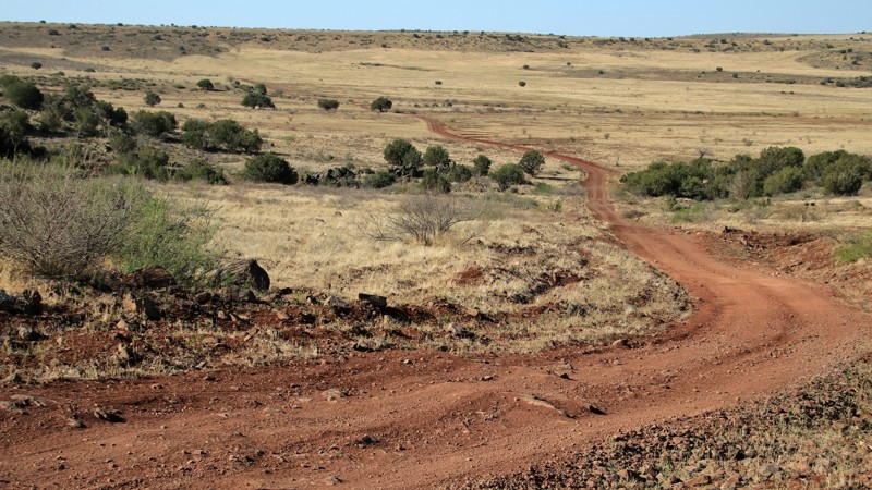
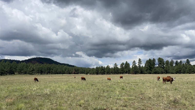
Set in central Arizona's Prescott National Forest, FR 68D, locally called Reimer, traverses a wide-open grassland bespotted with rim rock-capped buttes and crossed by tree-lined washes. Named for a prominent ranching family in Arizona's history, Riemer predictably runs past Reimer Butte and Reimer Tank as it climbs Reimer Draw. Today the area still serves as winter pasture for Arizona's larger cattle ranches. Old-fashioned windmills pump precious water into tanks, the western term for a dammed wash that catches and holds rainwater for cattle and wildlife. Cattle lazily raise their heads from the grass to watch any passing vehicle. This is the Upper Sonoran Desert. The stately saguaros have given way to prickly pear and agaves. Junipers line the normally dry washes. Cat-clawed acacia are best avoided. The openness of the landscape offers vast vistas with jagged horizons created by various mountain ranges like the Bradshaws, New River Mountains, Squaw Peak, Black Hills, Mingus, and Woodchute. Views abound with every turn. Reimer is also a section of the Great Western Trail, a north/south collection of tracks that run from Arizona to Montana.
Updated: 12/18/2024
Camp Two – Wild Bill – Kendrick
Flagstaff, Arizona
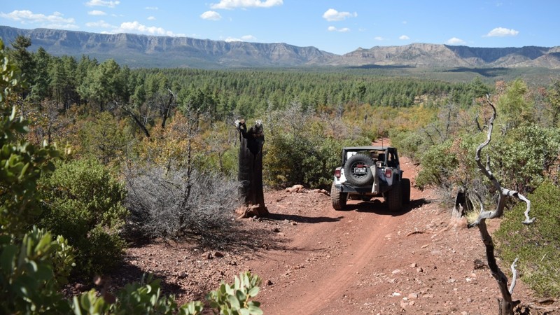
Located a short distance west of Flagstaff, Camp Two – Wild Bill – Kendrick is a popular forest road that winds its way from I-40 to the Kendrick Peak Wilderness, passing the famous Lava River Cave. With abundant RV-accessible dispersed camping and dozens of connecting forest roads, this trek through the Coconino National Forest is a bustling summer route through lush pine forests and open meadows offering excellent hiking opportunities. The Lava River Cave is a difficult but manageable one-mile hike down under the pine forests. It is cold in the cave, so bring a jacket! Kendrick Peak is another popular hike in the area, that is a moderately difficult 9-mile round trip rewarding users with the best views of the San Francisco Peaks.
Updated: 06/04/2024
Brody Hills
Payson, Arizona
Rock hunting in Arizona is a popular outdoor activity and if you're lucky it can also be a very rewarding experience. Sometimes the hardest part is knowing where to begin. Outside of Payson, Arizona there is a little-known trail that leads to an absolute wonder for rockhounds of all ages. The trail is hidden along the old Fire Control Road just below the Mogollon Rim, offering spectacular views while traveling to the parking area. Once you walk a very short distance, you will begin to notice the ground is made up of round rocks of all different sizes. Billions of them are covering the surrounding hills. The almost perfectly round rocks covering the ground are geodes that are sometimes hollow and contain crystals in all kinds of different colors. So pack a lunch and head down this short trail for some epic rock hounding in Arizona.
Updated: 03/08/2026
Oatman / Secret Pass Connector
Oatman, Arizona
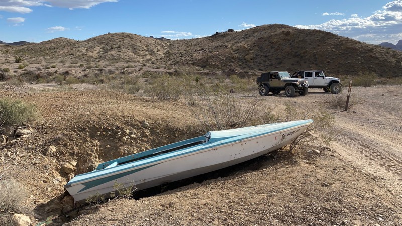
This long, easy, scenic desert trail runs from the active ghost town of Oatman, Arizona, up Silver Creek Road and into the Mossback Wash to the border of the Mount Nutt Wilderness and connects to the Panty Tree / Secret Pass West Connector, which continues into Secret Pass. This trail includes some stunning desert views of Mount Nutt and the surrounding buttes as it travels across the wilderness border near its mid-point. This is a great trail for any off-roader looking to spend a day on the trails.
Updated: 09/03/2022
Sheep Springs Road
Mormon Lake, Arizona
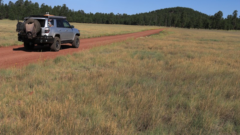
Sheep Spring Road leads into the heart of the vast and beautiful Coconino National Forest. Lined with ponderosa pines and the occasional aspen grove, the often bursts onto expansive alpine meadows, called parks by the locals. Sheep Springs Road traverses three large parks; Tie, Brolliar, and Long. These are favorite haunts of elk, mule deer, and pronghorns. The occasional flock of wild turkeys may cross the road as well. Both Brolliar and Long Park host historic log cabins. The Brolliar Park cabin was built in 1911 and is currently being restored. The Long Park cabin is two rooms and is in ruins but it remains an interesting glimpse into the history of the area. Sheep Springs Road is a fun and scenic drive, but stop and get out of your rig. Listen to the wind singing in the top of the pines, a distant elk bugling, and jays squawking in the trees. Life is good in the Coconino.
Updated: 04/09/2025
Mount Trumbull Loop - Main Street Section
Rock Crossing, Arizona
Located in northern Arizona, within a vast area known as the Arizona Strip, the Mount Trumbull Scenic Loop is a picturesque drive through the Grand Canyon-Parashant National Monument that takes drivers through nearly every aspect of terrain the monument offers. Cutting through the desert, shrubland, and montane habitats, drivers are rewarded with picturesque views of deep canyons, vast valleys, lonely buttes, and 8,000-foot mountains.
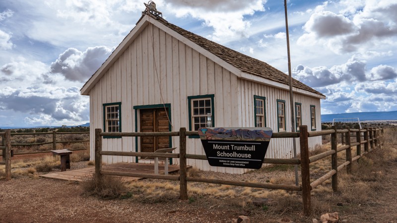
Main Street is the western section of the CR 5, Mount Trumbull Loop, traveling between Wolf Hole Valley and the Mount Trumbull School House, essentially connecting St. George to Mount Trumbull. This is the primary access road for those visiting the Mount Trumbull School House and the Whitmore Overlook. The Mount Trumbull School House is a historic replica of the 1918 schoolhouse that served as the school, town hall, church, and community meeting place for the local homesteaders until 1966, when it was shut down. The original building burned down due to arson but was rebuilt to its original specs in 2001 with the help of volunteers. At the schoolhouse, you will find many relics of the past, informational signs, and a public outhouse. The road through Main Street Valley has a well-maintained, hard-packed gravel and clay surface, is multiple vehicles wide, and is suitable for any vehicle in dry conditions. After mild rain, the clay sections of the road become impassable for a few hours, while a heavy rain event can make the road impassable for days.
Updated: 02/12/2024
Duquesne Road
Nogales, Arizona
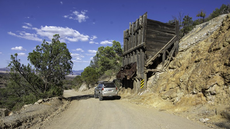
Duquesne Road is easy on the kidneys but hard on the hairs on the back of your neck. You'll be able to run this trail in your 4x4 efficiently and your 2WD cautiously, but the vistas you'll experience and the dangerous vibe will give you great satisfaction once you reach the end. You'll never shake the feeling that someone is watching. (Because likely, they are). One of the closest roads to the US/Mexico Border, FR 61/Duquesne Road travels within 2 miles of the line. This is a well-traveled and patrolled road, and you should expect to see at least one US Border Patrol officer/vehicle on your trip. If you were to cross the border on foot, this is the first East-West line you would come to in this area, and the border patrol regularly drags tires over it to smooth the surface to look for footprints. The area is rich in mining history, and several offshoot roads lead to old mines from the late 19th and early 20th Centuries. You'll want to stop at the Kansas mine chute for a rig picture. The scenery is splendid on this road, starting along the Santa Cruz River (At one point so close you could toss a rock into it), through the lush Sycamore Canyon/Wash, up and over the Patagonia Mountains for a wonderful view of the San Raphael Valley below. At the end of this trip, you'll be out on the much longer Ghost Town Loop.
Updated: 06/04/2026
First Water Road
Apache Junction, Arizona
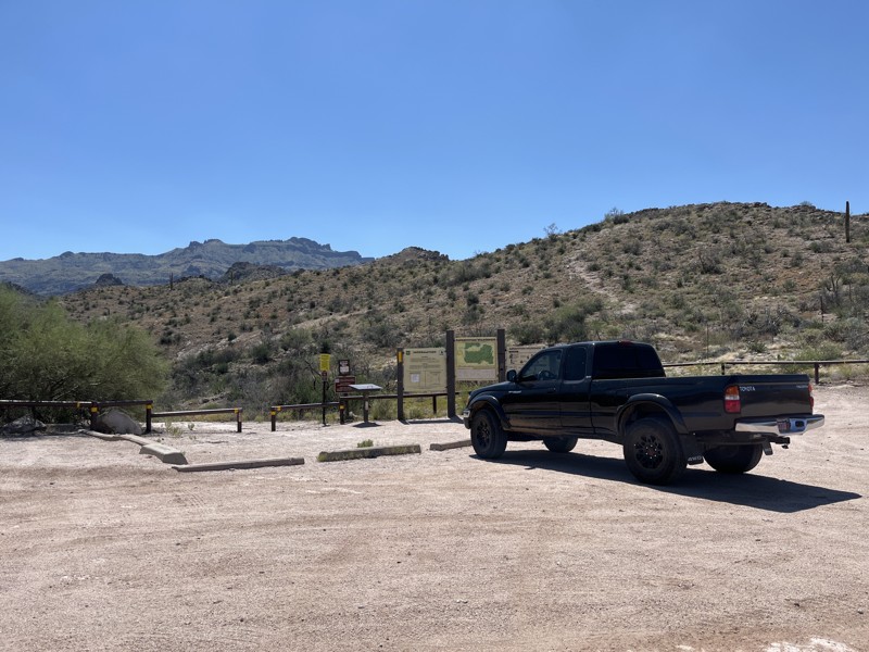
Heading east out of Apache Junction on the N. Apache Trail, Highway 88, the First Water Road trailhead is on the right-hand side just after entering the Tonto National Forest. The trail is maintained and can be easily handled in a 2wd pickup truck or SUV, but something low clearance like a sedan is not recommended. The trail runs 2.25 miles to the First Water hiking trailhead, where hikers have their choice of 15 hiking trails. Due to Forest Order 03-12-03-22-34, camping is prohibited along the entire route, until at least January 12, 2026.
Updated: 06/05/2022
Martinez Cabin Trail
Florence, Arizona
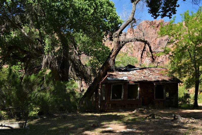
Martinez Canyon was a thriving mining center during the late 1880's when multiple veins of silver were discovered throughout the canyon. Operations were active in the area into the early 1950's. The remnants of an old cabin and some other equipment can still be found on the site near the cabin. If you hike a little further you can see the old mill and some of the machinery. The hike is relatively easy through a beautiful canyon with huge shade trees offering some relief from the desert sun. The hike back to the cabin is 1.5 miles, with an elevation gain of 275 feet. Please remember to carry extra water hiking back into the area.
The area has had a lifetime of vandalism, forcing the closure of the last section of trail. Please help preserve precious sites like this by leaving everything as you found it, removing all waste and reporting any acts of vandalism you witness to Arizona BLM. There are still open mine shafts in the area as well, it's highly recommended that you DO NOT ENTER any of the structures or mine shafts for fear of collapse.
Updated: 06/18/2026
Diamond Creek
Peach Springs, Arizona
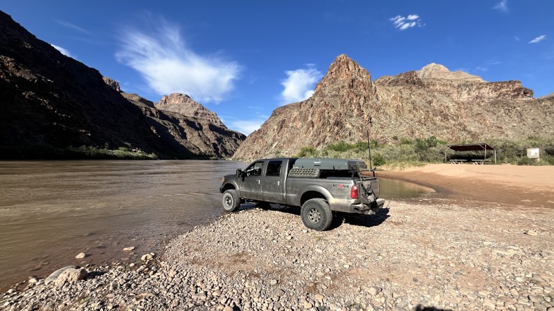
Diamond Creek Road, the only vehicular route leading to the depths of the Grand Canyon, offers an exciting 36-mile round-trip adventure with stunning panoramic vistas. This well-maintained road boasts a gentle gradient, averaging just 1 degree with occasional sections reaching 2 degrees, easing travelers through a remarkable descent of approximately 3500 feet from the trailhead in Peach Springs.
Approaching the canyon floor, the trail crosses Diamond Creek multiple times, with the deepest crossing around 2-3 inches. At the trail's end, a breathtaking panorama of towering canyon walls climbs above the majestic Colorado River.
Near the trail's end, a designated campground offers ten pavilions equipped with sturdy concrete picnic tables and conveniently located porta potties. Camping outside this designated area is strictly prohibited.
Each person over the age of 10 is required to have a permit to visit Diamond Creek. To secure permits, visit the Hualapai Game and Fish Department opposite the Walapai Market entrance in Peach Springs. Their operating hours are 8 AM-5 PM Monday through Friday and 8 AM-4 PM on weekends, with daily permit sales concluding at 4 PM. Expect routine permit checks while traversing the trail.
Updated: 06/05/2022
J. R. Ranch (Buzzard Roost)
Young, Arizona
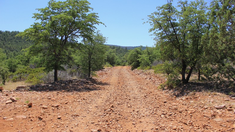
What a great way to get into the heart of Tonto! The trail starts as an easy dirt road that takes you into the forest. This early driving is prone to vast open skies and low trees and brush. As you wind into the forest, the trees overtake the skyline, and the road narrows. Soon the branches will be brushing the dust off your roof and attempting to add custom pinstriping. It crosses several other trails in the area leading to a multitude of adventures! You can work your way into serene forests, high prairies, or desert valleys to the west.
Updated: 10/15/2024
Vekol Valley Trail
Big Horn, Arizona
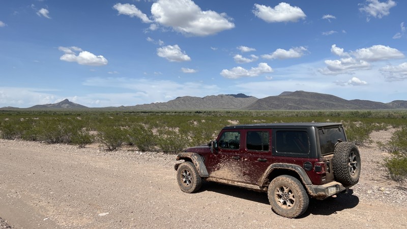
Vekol Valley Road, BLM trail 8007, takes you from Interstate 8 deep into the Sonoran Desert National Monument to its southern boundary. The trail is graded gravel with multiple wash crossings easily done in 2WD. The final 4 miles of the trail require 4WD. It runs through low ground and a wash that can become very muddy after a summer monsoon rain. Vekol Valley Road officially ends at the southern boundary of the monument where it borders the Tohono O’odham Nation.
.
The Sonoran Desert National Monument spans over 486,000 acres and has many opportunities to observe wildlife, view historical sites, and take in the true wilderness of the Sonoran Desert. This remote and less traveled trail will immerse you in the Arizona desert.
Updated: 05/26/2024
Indian Fort
Black Canyon City, Arizona
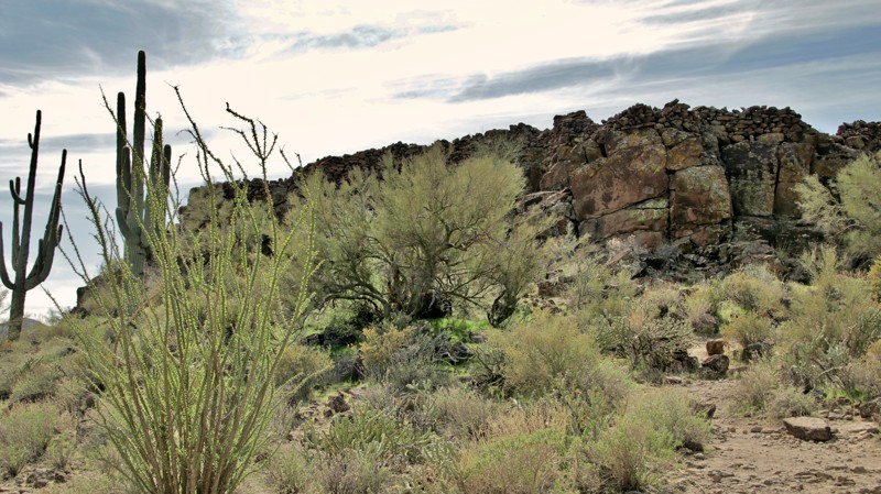
The Hohokam flourished in southern Arizona from approximately 200 to 1500 AD. They were known for their complex system of irrigation ditches along the Gila and Salt Rivers, which allowed them to grow corn, beans, and squash as well as cotton. While largely living in the valleys near the Salt and Gila Rivers, their villages extended into the surrounding mesas, hills, and mountains. Between present-day Gila Bend, Phoenix, and Prescott, the Hohokam also constructed what appear to be fortifications on high points. Each walled fort had a direct line of sight with at least one other fort. When archeologists mapped the known forts, a network appeared. The purpose of the forts remains a mystery. Were they for defense? Communication? Ceremonial? All of the above? This short loop takes you to a hilltop Hohokam ruin in this complex network. A brief steep footpath leads you up the hill to the rock-rimmed fort. Indian Fort trail is located in the Table Mesa Recreation Area, a BLM-operated OHV complex that offers everything from easy scenic drives to hardcore rock crawling. Enjoy a short easy drive back into the history of this rugged landscape along the Indian Fort trail. If you hike to the top, see if you can spot any other hilltop fortifications nearby. Take time to ponder the purpose the Hohokam had for these unique structures. Please respect all archeological sites, so future generations have the same opportunity to ponder the past.

Upgrade your Membership
Unlock all of the details on every Trail Guide and Scout Route.
Start a 7-day Free TrialCommunity
Partners

