


By clicking "ACCEPT", you agree to be the terms and conditions of each policy linked to above. You also agree to the storing of cookies on your device to facilitate the operation and functionality of our site, enhance and customize your user experience, and to analyze how our site is used.
Wyoming Off-Road Trails
25
Total Trail Guides 23

282
Detailed Waypoints 61
Try a Free 7-Day Trial and unlock it all
Start a Free Trial Most Recent Trail Reviews
No Rating
Open
Visited: 09/13/2026
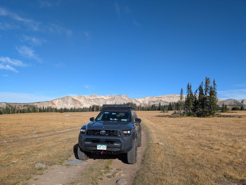
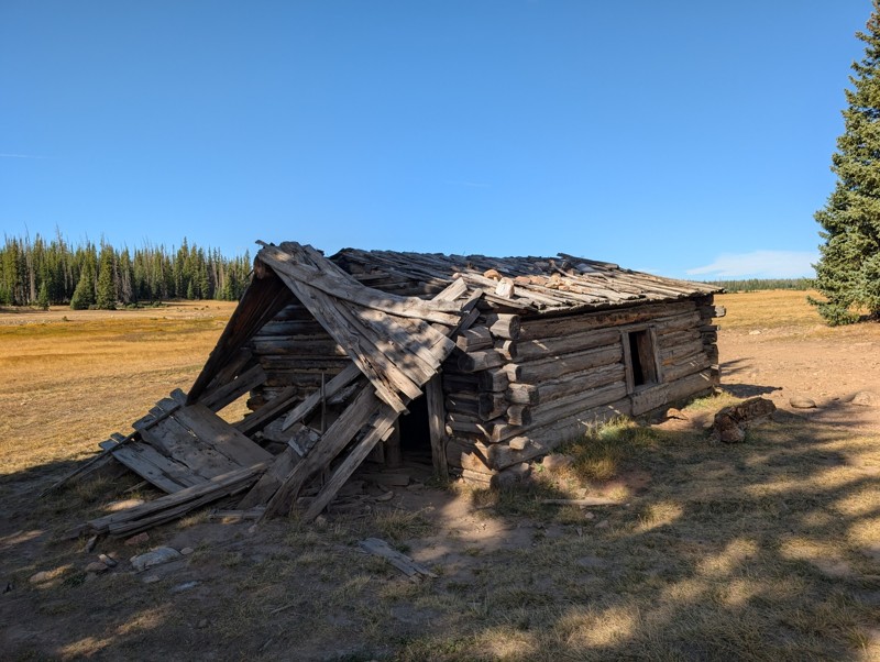
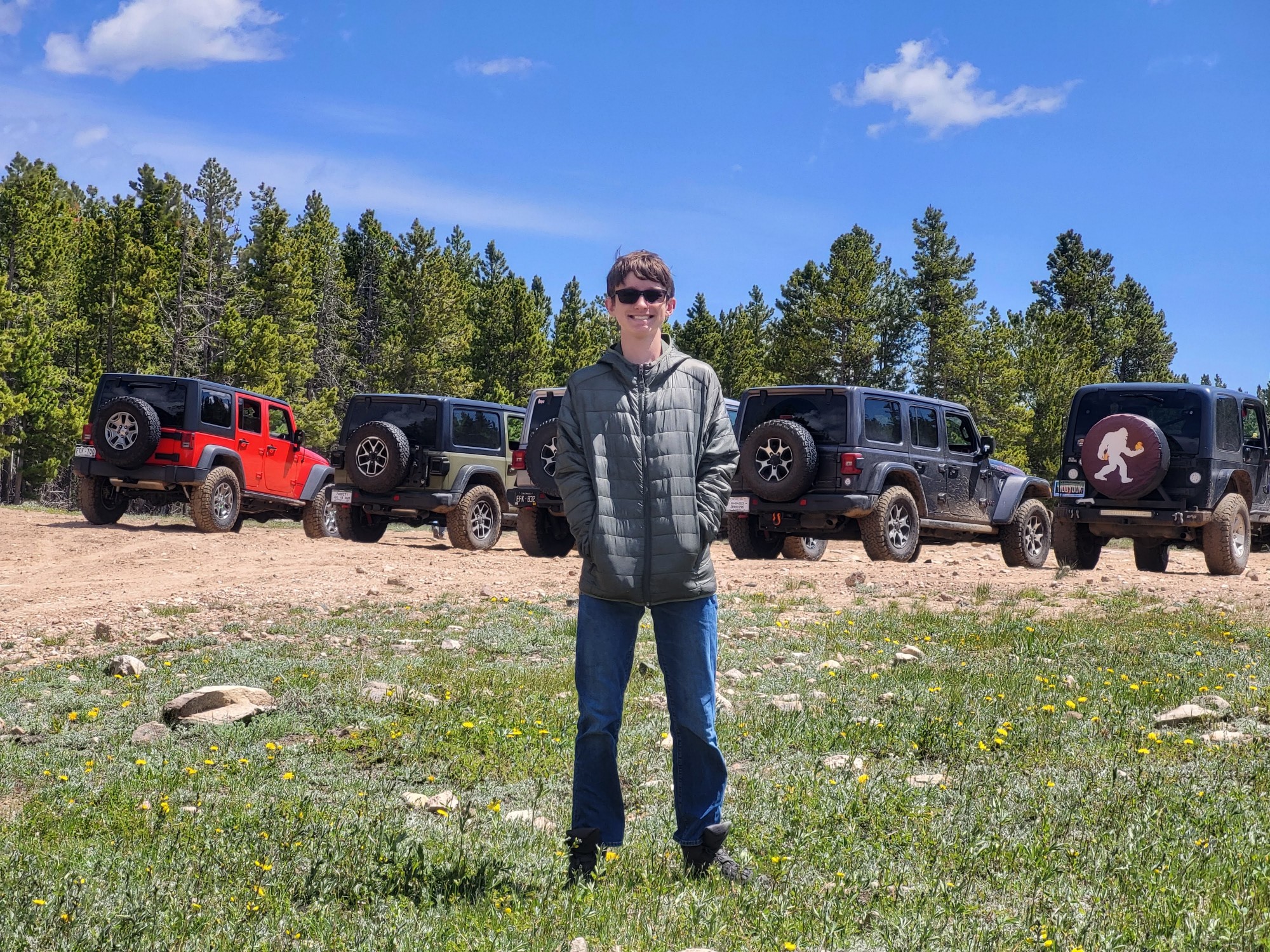
Short and very scenic trail. It does get pretty rocky in some sections but nothing crazy. We didn't run into any issues in our 4Runner. The views from the upper section are unbeatable and the old cabi...

Lee Juszak
Rated 4/5
Open
Visited: 09/12/2026
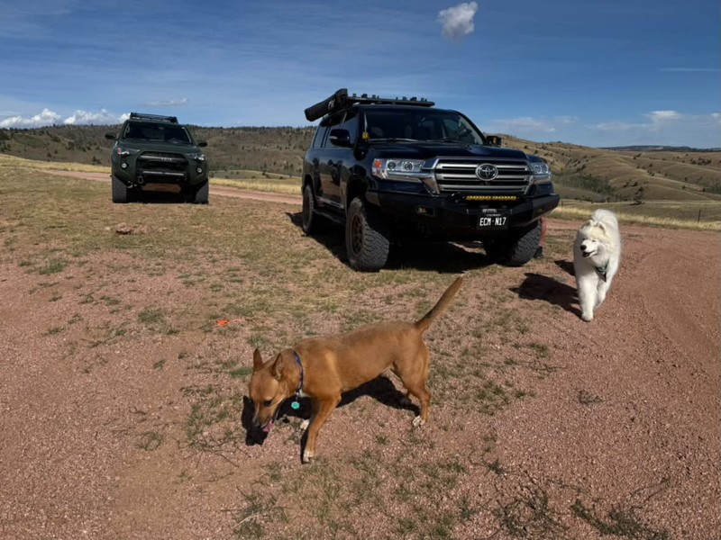
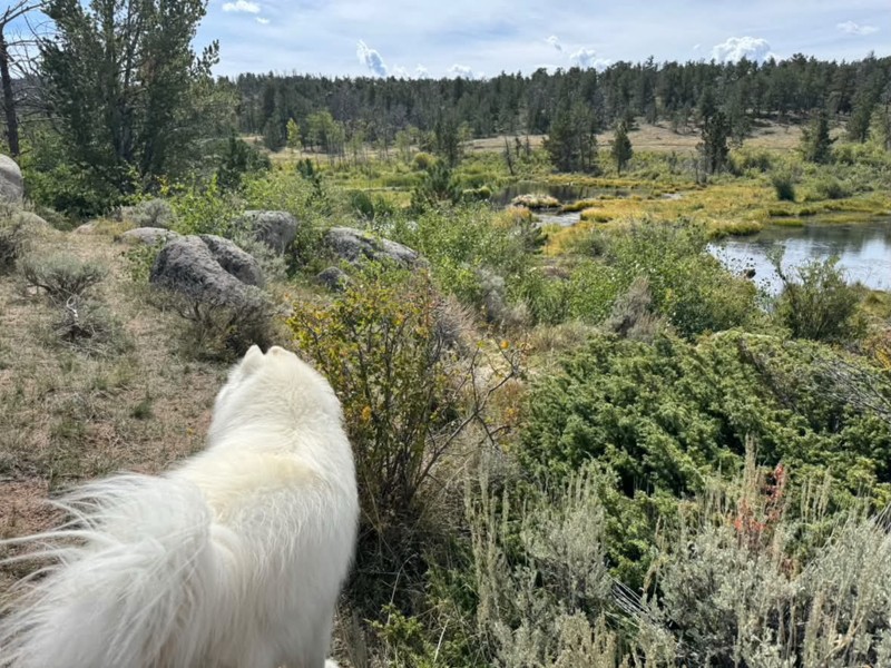
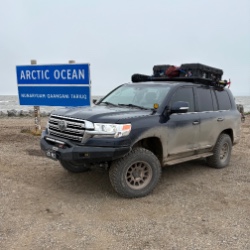
A favorite especially to combine with other close by trails. We actually found a couple of more great camp spots on this trip. It’s an easy road with a few small obstacles on the north side. The trail...
Bryan Peterson
Rated 5/5
Open
Visited: 09/12/2026
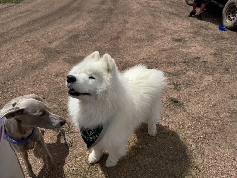
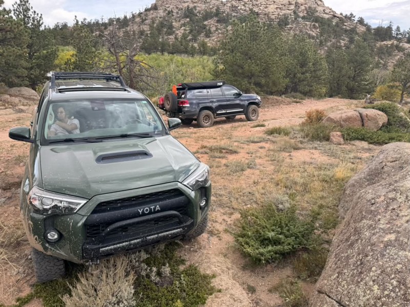
Always one of our favorites! Seems to get more off camber every time🤷♂️ We ran it again from north to south, still such a great trail and the obstacles just keep getting better😃 All mud puddles are...
Bryan Peterson
No Rating
Open
Visited: 09/11/2026
After years, the trail has been repaired and is now open as per the FS
TA
texas aggie
Rated 5/5
Open
Visited: 08/22/2026
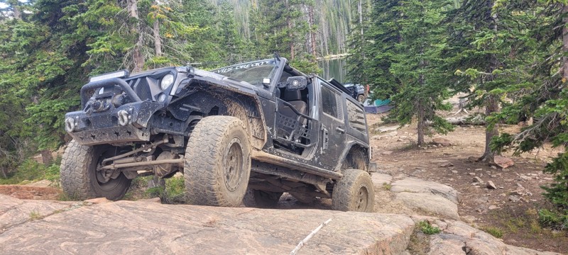
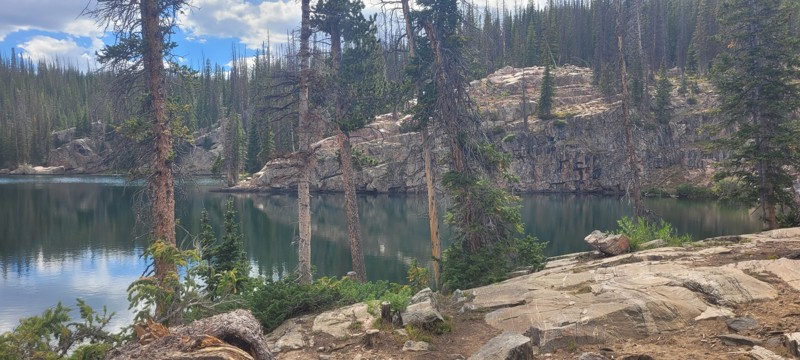
We set up camp at waypoint 6 and the next day ran this from 6 to 1. Let me just say that this trail is worth coming to this area of Wyoming for. The snowy range is so pretty, there was some challenge...

Heather Melchior
Rated 5/5
Open
Visited: 08/21/2026
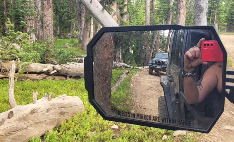
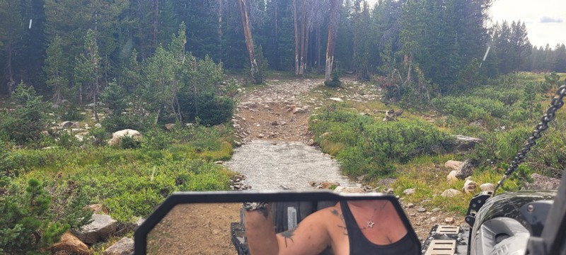
A small group of us ran this and there are about 3 really nice creek crossings. We ended up setting up camp where this & Libby Flats connects. Pretty easy trail. Most of this trail go through the wo...
Heather Melchior
Rated 4/5
Open
Visited: 08/21/2026
A group of us ran this to get to Jim Creek & Libby Flats. It wasn't anything special. Pretty easy "dirt road". Only ran it to waypoint 6.
Heather Melchior
Rated 5/5
Open
Visited: 08/21/2026
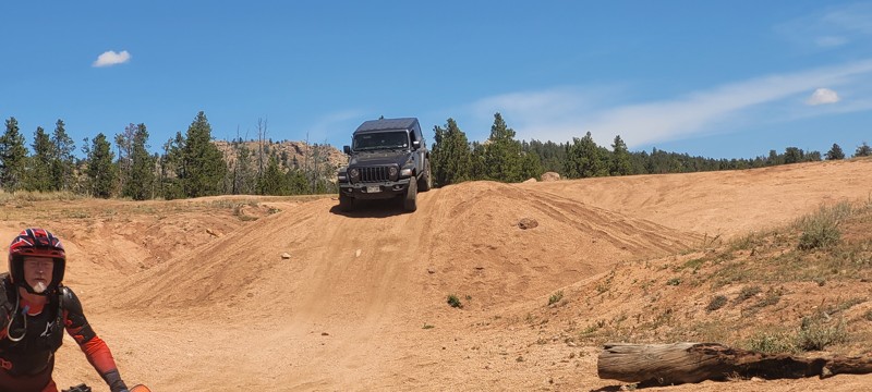
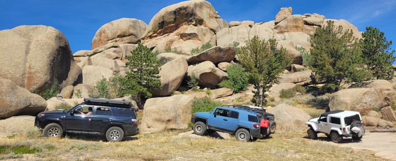
I had heard about this place and figured on a trip to Centennial to wheel that I would spend a night & day in this area. Devil's playground was a lot of fun to rock crawl in and the area of Vedawoo i...
Heather Melchior
Rated 5/5
Open
Visited: 08/18/2026
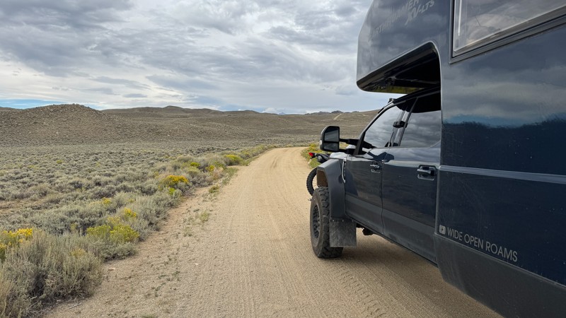
We drove the first section of Union Pass on our way to Green River Lakes Road. This section of the route is more of a graded fire road, and when we drove it, the road was pretty smooth with no obstacl...

Wide Open Roams
Official Crew
Rated 5/5
Open
Visited: 08/18/2026
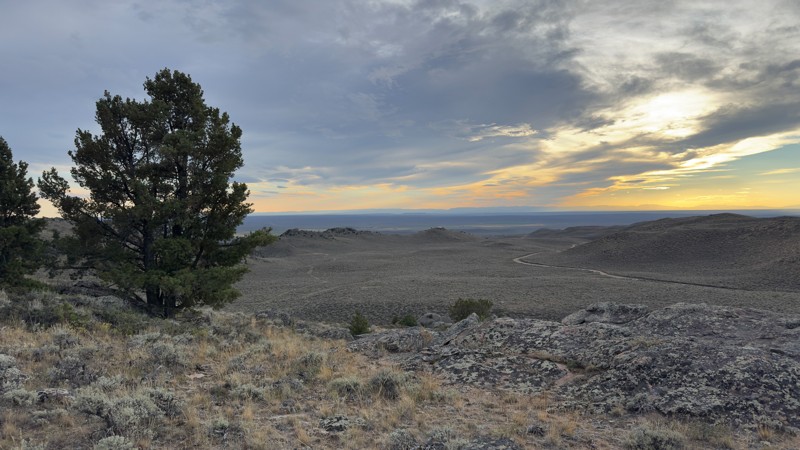
We pulled into the Irish Canyon Trail trailhead and were surprised to find the parking area completely empty. From there, we continued up the trail and found that it had recently been graded, making t...
Wide Open Roams
Official Crew
No Rating
Open
Visited: 08/11/2026
Per the MVUM, the trail is seasonally open. As always, check current fire restrictions/closures before venturing out.

Trails Offroad
No Rating
Open
Visited: 08/11/2026
Per the MVUM, the trail is seasonally open. As always, check current fire restrictions/closures before venturing out.
Trails Offroad
No Rating
Open
Visited: 08/11/2026
Per the MVUM, the trail is seasonally open. As always, check current fire restrictions/closures before venturing out.
Trails Offroad
No Rating
Open
Visited: 08/11/2026
Per the MVUM, the trail is seasonally open. As always, check current fire restrictions/closures before venturing out.
Trails Offroad
No Rating
Open
Visited: 08/11/2026
Per the MVUM, the trail is seasonally open. As always, check current fire restrictions/closures before venturing out.
Trails Offroad
Open
Visited: 08/11/2026
Per the MVUM, the trail is seasonally open. As always, check current fire restrictions/closures before venturing out.
Trails Offroad
No Rating
Open
Visited: 08/11/2026
Per the MVUM, the trail is seasonally open. As always, check current fire restrictions/closures before venturing out.
Trails Offroad
No Rating
Open
Visited: 08/11/2026
Per the MVUM, the trail is seasonally open. As always, check current fire restrictions/closures before venturing out.
Trails Offroad
No Rating
Open
Visited: 08/11/2026
Per the MVUM, the trail is seasonally open. As always, check current fire restrictions/closures before venturing out.
Trails Offroad
No Rating
Open
Visited: 08/11/2026
Per the MVUM, the trail is seasonally open. As always, check current fire restrictions/closures before venturing out.
Trails Offroad
No Rating
Open
Visited: 08/11/2026
Per the MVUM, the trail is seasonally open. As always, check current fire restrictions/closures before venturing out.
Trails Offroad
No Rating
Open
Visited: 08/11/2026
Per the MVUM, the trail is seasonally open. As always, check current fire restrictions/closures before venturing out.
Trails Offroad
No Rating
Open
Visited: 08/11/2026
Per the MVUM, the trail is seasonally open. As always, check current fire restrictions/closures before venturing out.
Trails Offroad
No Rating
Open
Visited: 08/11/2026
Per the MVUM, the trail is seasonally open. As always, check current fire restrictions/closures before venturing out.
Trails Offroad
No Rating
Open
Visited: 08/11/2026
Per the MVUM, the trail is seasonally open. As always, check current fire restrictions/closures before venturing out.
Trails Offroad
No Rating
Open
Visited: 08/11/2026
Per the MVUM, the trail is seasonally open. As always, check current fire restrictions/closures before venturing out.
Trails Offroad
No Rating
Open
Visited: 08/11/2026
Per the MVUM, the trail is seasonally open. As always, check current fire restrictions/closures before venturing out.
Trails Offroad
No Rating
Open
Visited: 08/11/2026
Per the MVUM, the trail is seasonally open. As always, check current fire restrictions/closures before venturing out.
Trails Offroad
Open
Visited: 08/10/2026
We drove Ashton-Flagg Ranch Road, also known as Grassy Lake Road, from the Grand Teton National Park side toward Idaho. The route starts out as a wide, smooth fire road and is very easy to travel. The...
Wide Open Roams
Official Crew
Rated 3/5
Open
Visited: 08/09/2026
We drove Shadow Mountain Road in search of dispersed camping, but what we found was easily the busiest trail we’ve ever seen. We were honestly surprised by just how many people were up there, especial...
Wide Open Roams
Official Crew
Rated 5/5
Open
Visited: 08/08/2026
We drove Cliff Creek while looking for some dispersed camping outside of the Jackson area, and it ended up being a very mellow route that was easy to enjoy in the EarthRoamer.
The trail is essentiall...
Wide Open Roams
Official Crew
Rated 1/5
Open
Visited: 08/01/2026
Other than the long water crossing this is basically a rough gravel road.

Mike Bromberg
Rated 1/5
Open
Visited: 07/31/2026
DO NOT go here in July or August; this is a very scenic drive, but during the busy months the road is extremely busy and camping is nonexistent. Many of the campsites looked like they've been occupi...
Mike Bromberg
Rated 4/5
Open
Visited: 07/29/2026
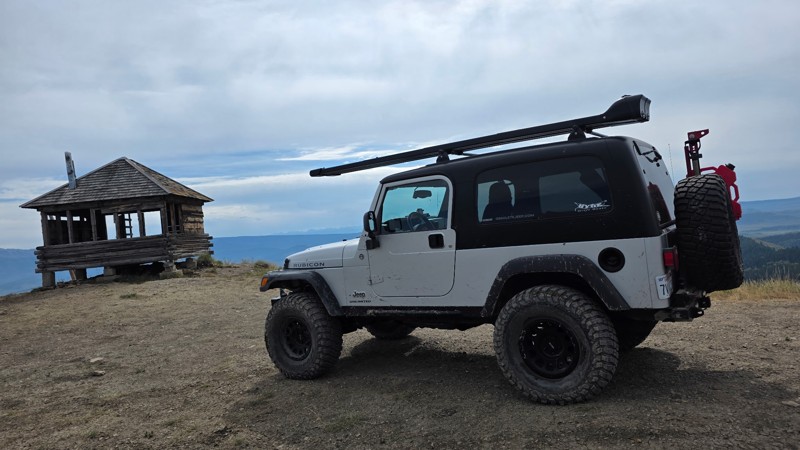
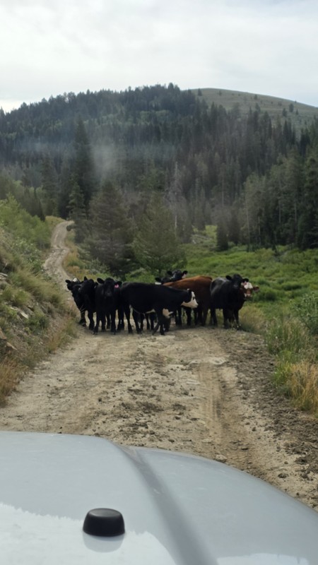
Ran this trail today while we were in the area camping and fishing. The views from the lookout are definitely worth the trip.
The road had a few muddy ruts, so I would recommend 4x4, and a little ext...
DO
Daren O
Rated 5/5
Open
Visited: 07/29/2026
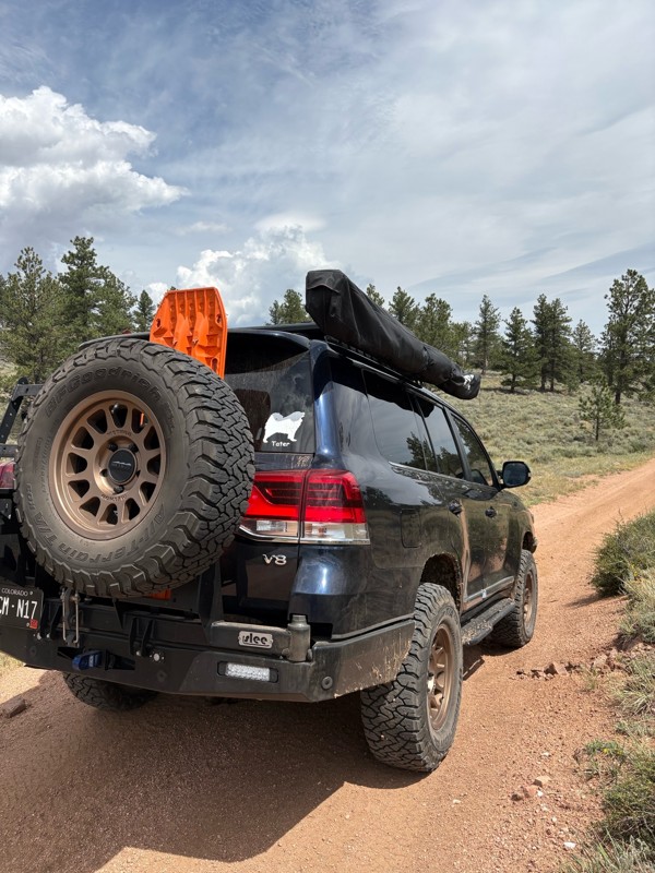
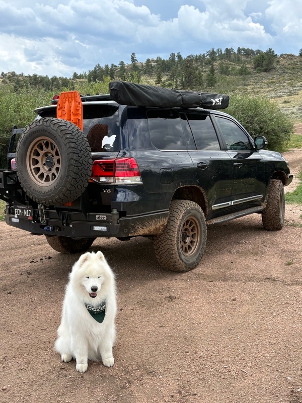
This is a super fun trail. We have been on it several times, but this was the first time running the whole trail. We ran it North to South. Coming from the Eagle rock side the trail is pretty mellow, ...
Bryan Peterson
Open
Visited: 07/26/2026
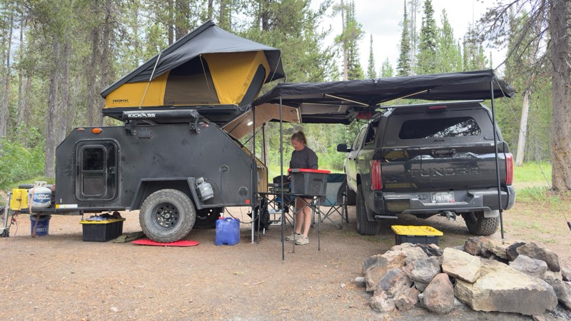
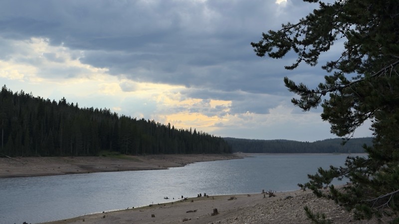
We used this trail to camp while we visited Yellowstone and Grand Teton. We camped near the reservoir as the designated sites were all occupied. We found a great dispersed site near the reservoir. I w...

Tyler Genevish
Official Crew
Rated 4/5
Open
Visited: 07/24/2026
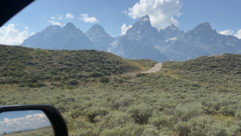
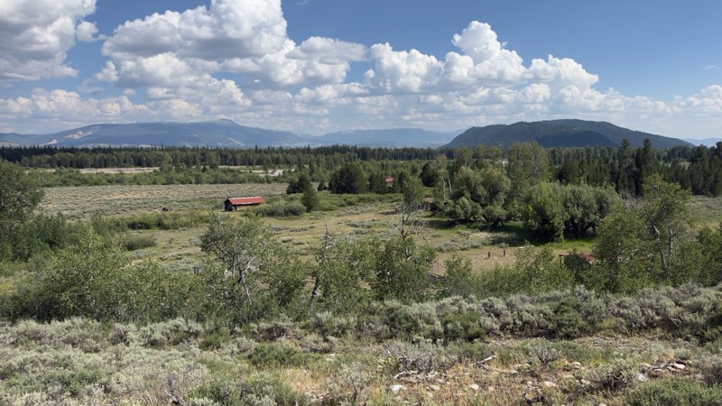
I don’t know if I’d consider this a moderate trail but it is rough and bumpy. There is a fairly steep section near the end with a blind curve at the top. Maybe if there was snow or after a rain, 4WD w...
Tyler Genevish
Official Crew
Rated 4/5
Open
Visited: 07/24/2026
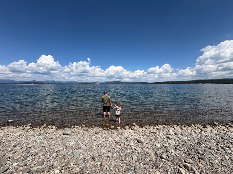
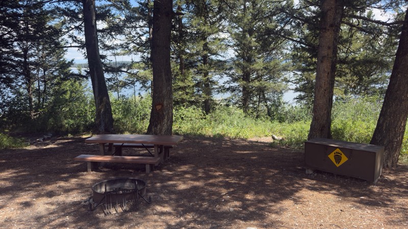
We used this trail while exploring Grand Teton to find a place for lunch. The majority of the trail is fairly easy, but at the switch back where it gets closer to the lake the trail becomes very steep...
Tyler Genevish
Official Crew
Rated 4/5
Open
Visited: 07/23/2026
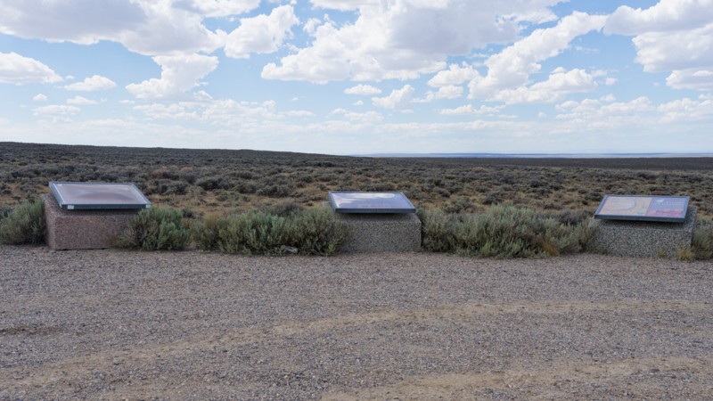
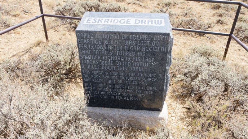
The road is very easy, it is a graded gravel road that sometimes has washboard. The views are pretty good. The county was putting a solution down to keep the dust minimal and driving over that made th...

Jay North
Official Crew
Rated 5/5
Open
Visited: 07/22/2026
Fun trail. Water levels are all pretty low compared to the pics. I don't think any crossings were above halfway up my 35" tires.
Trail is just a dirt road until waypoint 6 and then it get's rocky. ...
MF
Matt Freel
Rated 1/5
Open
Visited: 07/21/2026
Not worth the time or effort. The views are boring and the road is so bad you jiggle all of your brains and teeth out for nothing. Absolutely nothing.
Jay North
Official Crew
Rated 4/5
Open
Visited: 07/21/2026
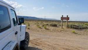
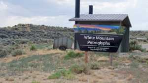
This short spur off the main dirt network runs across open sagebrush flats toward the base of White Mountain, home to one of the largest concentrations of Native American rock art in the region. The r...
Jay North
Official Crew
Rated 3/5
Open
Visited: 07/21/2026
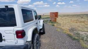
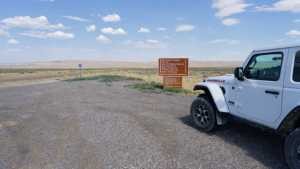
Chilton Road runs north out of Rock Springs across the open sagebrush flats of the Red Desert, ending at the Killpecker Sand Dunes Open Play Area. It is a wide, packed dirt route that serves as the ma...
Jay North
Official Crew
Rated 3/5
Open
Visited: 07/17/2026
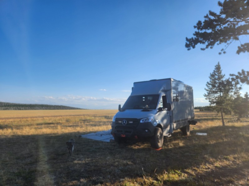
Not much scenery, anf not a lot of places to camp. This appears to be a trail heavily trafficked by side-by-sides and on the weekend, the camping sights had mostly big rigs in them with people hauling...
EB
Ethan Burnham
Rated 5/5
Open
Visited: 07/07/2026
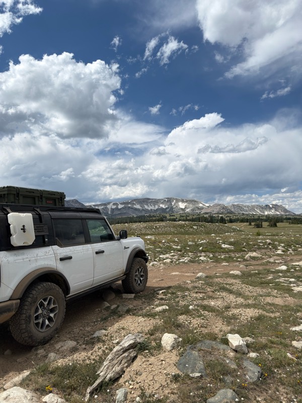
Beautiful area. Gate to the north is open, and trails to the south are open.
JL
James Lengyel
Rated 4/5
Open
Visited: 07/07/2026
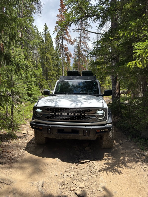
Very tight in spots, if you have a large rig it may not fit, and a poor line could come with consequences. Expect plenty of pin-striping. Would recommend having a spotter to navigate some of the tight...
JL
James Lengyel
No Rating
Open
Visited: 07/03/2026
Open for the season! very very buggy, and crowded. Granted we went on July 4th weekend. Go early enough that you can get a waterfront camping site, they seem to fill up quick.
We were in an otherwise...
TL
Tyler Lubeck
Rated 5/5
Open
Visited: 07/03/2026
Perfect way to end our trip in the Bighorns, no problem for the Sprinter 144. We did it top to bottom, most of the other traffic was heading up from Buffalo.
DB
David Bauer
Rated 4/5
Open
Visited: 06/29/2026
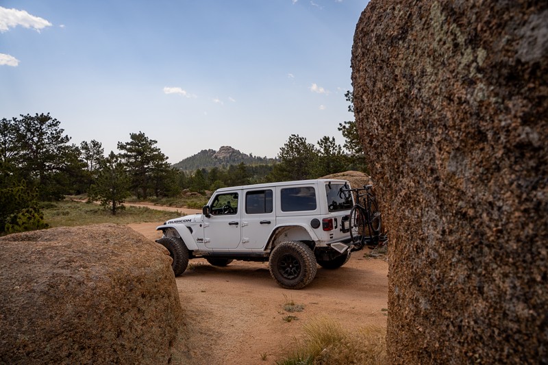
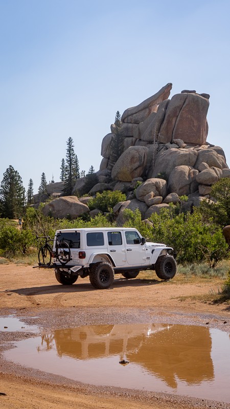
Passing through along I-80 and stopped to give this older guide a refresh. This was my first time visiting the area, even though I've driven past it many times on the interstate. Now I get what all th...

Ariana Dufour
Official Crew
Rated 4/5
Open
Visited: 06/29/2026
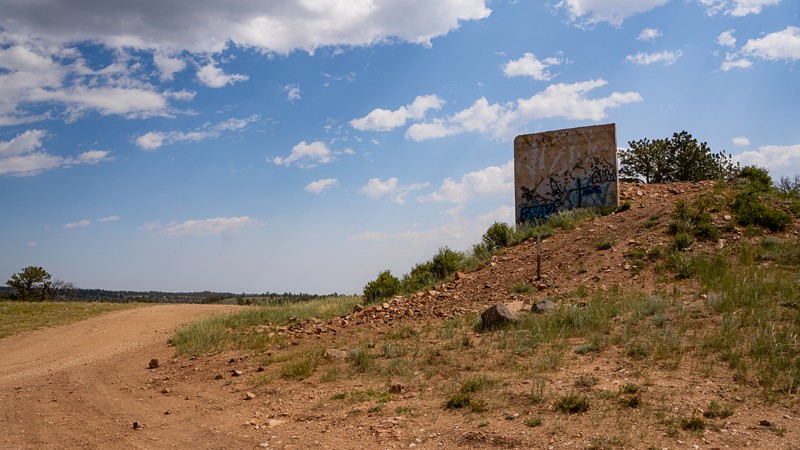
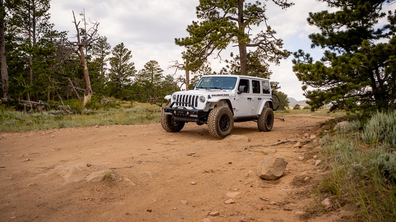
Passed through the area and stopped to refresh this trail guide with newer photos, a couple more waypoints, and an increase in difficulty rating. With time and natural erosion, the overall rating need...
Ariana Dufour
Official Crew
Most Popular
Updated: 07/01/2025
Gros Ventre Road
Kelly, Wyoming
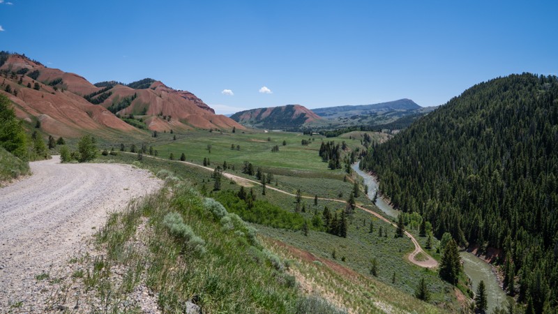
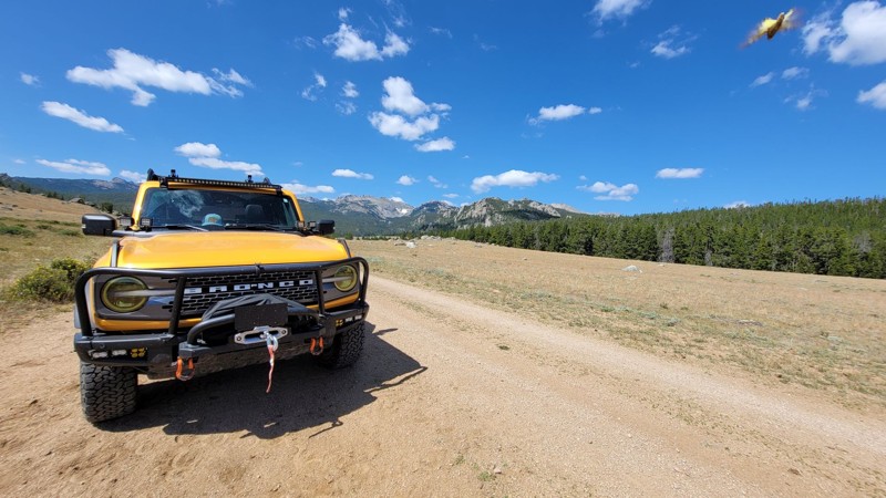
Gros Ventre Road is a long, scenic road that winds southeast from the town of Kelly, Wyoming, deep into the Gros Ventre Wilderness corridor. This road begins near the eastern boundary of Grand Teton National Park and gradually climbs into the foothills of the Gros Ventre Range, following the Gros Ventre River for much of its length. Popular among campers, hunters, and those seeking a more remote scenic drive, the road provides access to multiple designated and dispersed campsites, trailheads, and side roads deeper into the Bridger-Teton National Forest.

Updated: 10/15/2024
Moccasin Lake Road
Fort Washakie, Wyoming
Everyone in your group must purchase tribal fishing licenses since Moccasin Lake Road crosses tribal lands Tribal fishing licenses are available at Popo Agie One Stop and Wild Iris Mountain Sports in Lander or Hines General Store in Fort Washakie.
The drive to Moccasin Lake is long but beautiful, with steep scalloped hills giving way to tall forests. This route is an out-and-back running 18 miles each way. The road is rough with ruts and washboards but easy to navigate. Any rain or snow could make this trip a little more challenging of a drive. The road climbs about 4000 feet by the time you reach the lake. There are no designated camping areas until you get to the lake. There is another campground in the area called Dickinson Park. The area offers lots of hiking and fishing opportunities. Along the way, there are many offshoot trails to explore. Cell service is spotty at best. The views from the road are spectacular.
The campgrounds are first come, first served, 16-day limit campsites. This is bear country so practice safe food storage.

Updated: 06/02/2024
Middle Fork Canyon
Centennial, Wyoming
Middle Fork Canyon is a trip back in time to the mining days of the late 1800s. This short trail boasts four different known gold, silver, and copper mines abandoned 140 years ago. Several dilapidated, roofless log cabins from that era still exist for you to explore while taking this easy 4x4 trail. Today, excellent camping along the canyon road with the sounds of the rippling waters from the small river can be a cornerstone to a peaceful weekend.

Updated: 06/05/2022
Deep Creek Road (Aspen Alley)
Encampment, Wyoming
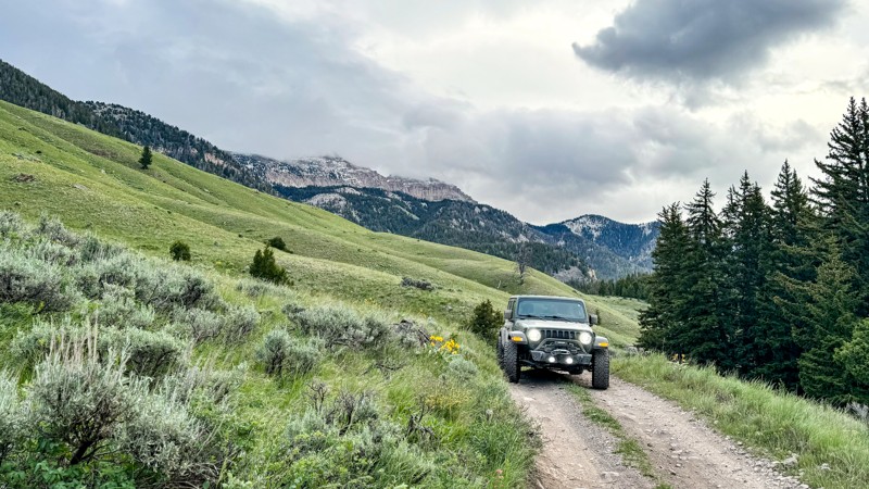
Deep Creek Road is the main north/south access along the western side of the Sierra Madre range in the Medicine Bow National Forest, providing connections to many back roads and 4WD trails. The abundance of camping opportunities makes it a great place to set up a base from which to explore the dozens of trails in the surrounding area.
Deep Creek Road also offers plenty of scenic beauty. It features Aspen Alley, a third of a mile long, one-lane section of road between very tall, mature aspen trees. In fact, there are several groves of tall, mature aspen, making this an outstanding venue for viewing changing colors in the fall. Wildflowers are abundant in the spring, and summer features the beauty of the aspen, pine, and fir forest. Though technically open in the winter, the road receives no winter maintenance and becomes impassable. However, the area is very popular for snowmobiles.
This area is a little too remote for day trips but is an excellent choice for a weekend or week-long adventure.
Updated: 09/14/2026
Flat Creek Road
Jackson, Wyoming
Flat Creek Road is an easy, out-and-back trail through the scenic Gros Ventre Mountain Range (pr: groh vahnt) near Jackson, Wyoming. The trail begins at the eastern boundary of the National Elk Refuge. It is primarily rough dirt with some gravel sections through the Bridger-Teton National Forest and ends at a private luxury dude ranch called Flat Creek Ranch.
Beyond the Curtis Canyon Campground, there is a large area for RV camping. Additionally, there are multiple camp spots along the trail, most of which are suitable for several vehicles.
No difficult obstacles exist, with the exception of late spring runoff, which causes slick mud and mild flooding across sections of the trail.
This area is also near Grand Teton National Park.
A seasonal closure of Elk Refuge Road from December 1st through April 30th limits public travel on the Refuge Road. During that period, traffic and pedestrian use are only allowed from the Refuge entrance from East Broadway Avenue to the Twin Creek subdivision (approximately 3½ miles from the Refuge entrance).
Updated: 10/15/2024
Smith Fork Road
Smoot, Wyoming
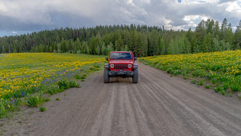
Smith Fork Road is a beautiful drive, taking you directly from Highway 89 up into the Wyoming Range, just past the LaBarge Guard Station. Dispersed camping along this road is plentiful and easily accessed, with sites directly next to Smiths Fork Creek. Visiting in the summer is a treat, with wildflowers covering the hillsides. In the final 5-6 miles, the road narrows slightly, and the surface changes from well-graded dirt to cobblestone, but still maintains an Easy rating with no technical obstacles.
Updated: 10/15/2024
Blair Wallis Road
The Buttes, Wyoming
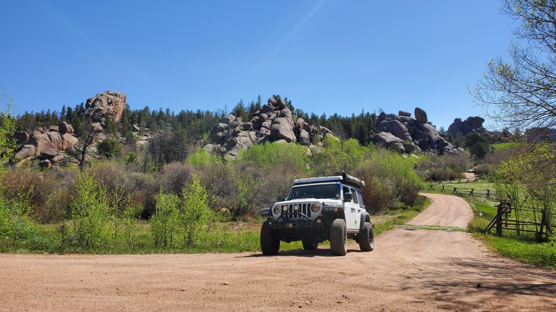
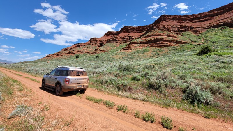
Blair Wallis Road is a well-traveled dirt road in the Medicine Bow National Forest, colloquially referred to as "Happy Jack." This trail is one of the major thoroughfares in the area that provides access for passenger cars to experience the beauty of these public lands. While there is not a ton of camping along this trail, this trail provides access to a lot of other activities such as hiking, climbing, and fishing. Whether you are looking for access to other trails in the area or are just looking for a fun, relaxing road to enjoy over the weekend, Blair Wallis Road might just fit the bill.
Updated: 08/11/2026
Red Canyon
Kotey Place, Wyoming
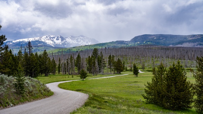
Red Canyon is a short, leisurely drive through one of Wyoming's most spectacular landscapes. The route is just over 10 miles of packed dirt. The route can be traveled in either direction, beginning at the top of the route or starting near the Red Canyon Overlook. The overlook on Highway 28 has outstanding views of the beautiful scenery and informational signage about the area.
Red Canyon is listed as a National Natural Landmark and has a seasonal closure from December 1st to April 30th. The canyon's red and orange bluffs stretch into green meadows and tall cottonwood trees. During the spring, the slopes are covered with wildflowers.
Red Canyon has a long and rich history. The area has great religious significance for the local tribes and was also an important transportation corridor for the western expansion. Today, the canyon supports great herds of grazing animals such as elk, mule deer, and other small mammals and birds.
There is no camping along this route. But there is plenty of camping in the surrounding areas. There is public access to fishing along the route as well.
Updated: 09/09/2026
Ashton-Flagg Ranch Road / Grassy Lake Road
Colter Bay Village, Wyoming
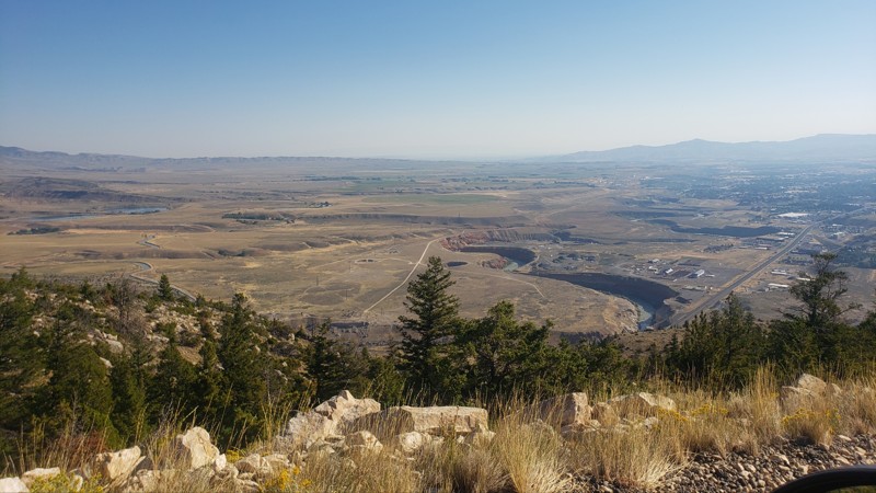
Ashton-Flagg Ranch Road, also known as Grassy Lake Road by the National Park Service, is a 33-mile scenic backcountry route connecting Ashton, Idaho, to Flagg Ranch, just outside Yellowstone and Grand Teton National Parks. The road travels through remote sections of the Caribou-Targhee and Bridger-Teton National Forests, nestled between two grizzly bear-inhabited wilderness areas. It offers a rare blend of wild seclusion and approachable driving, making it a favorite for overlanders traveling between the parks.
The route is primarily well-graded gravel and is suitable for most vehicles with decent ground clearance. Four-wheel drive isn’t usually necessary in dry weather, but is strongly recommended during or after storms. Mud, erosion ruts, and slick spots are common in wet conditions and can catch less-prepared vehicles off guard.
Along the way, the road passes meadows, pine and aspen forests, and high-country lakes and streams, with Grassy Lake Reservoir serving as a scenic midpoint and a great location for dispersed camping. Wildlife sightings, including bears, moose, and deer, are common, and the remote feel of the area adds to the backcountry experience.
Camping is available in several forms. The eastern end of the road, within the John D. Rockefeller Jr. Memorial Parkway, includes eight designated dispersed camping areas with a total of 20 free, first-come, first-served sites. Each site includes a picnic table, bear box, and parking space. Each camp area also features a central vault toilet, trash receptacle, and recycling bins. Note that there is no water, electricity, or sewer service.
The best time to travel this road is summer through early fall. Snow often lingers into late spring and can return early at high elevations. The eastern end remains closed for grizzly bear migration until at least June 1st, though heavy snowpack may delay the opening further.
Updated: 10/15/2024
Cedar Mountain Road
Cody, Wyoming
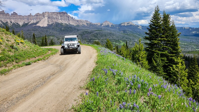
Cedar Mountain Road is a short out-and-back trail near Cody. The trail is mostly level and made up of loose dirt and small rocks. It is a narrow shelf road, about one vehicle wide, with occasional spots to pass. The view is great from start to finish, and from the top, you can see for miles out over the city. The most difficult obstacle is an optional hill climb and descent right at the bottom, with loose rocks and a hairpin turn on one side of the hill. The most difficult obstacle on the main trail is a moderate rutted section near the bottom, also full of loose rock and dirt. There are dispersed camping sites along the whole trail. Near the top is a short hiking trail leading to a cave system. The cave is gated off, and if you want to explore it, you need to get a key and permit from the Cody Resource Area. The higher campsites can get extremely windy, especially in a soft-sided rooftop tent.
Updated: 10/15/2024
Brooks Lake Road
DuNoir, Wyoming
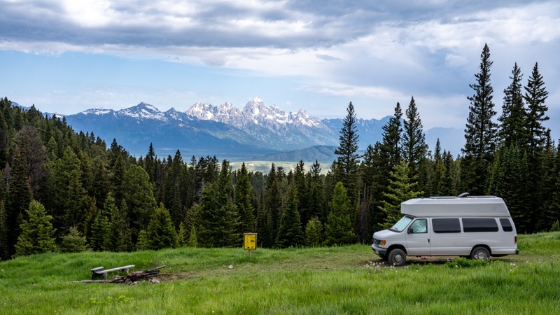
Brooks Lake Road is an access road within the Shoshone National Forest just outside the famously scenic Teton National Forest. This road provides access to not only Brooks Lake, which is a wonderful spot for camping and fishing, but also world-class hiking trails radiating from the Brooks Lake Campground. The lakeside campground has 13 sites.
This trail can be fairly rutted up depending on the time of the year, so plan accordingly. The eastern end of this road is more maintained, whereas the western half is less maintained. While the road isn't the most interesting road in the area, the access to hiking, camping, and fishing makes this a must-do experience.
Updated: 08/11/2026
Curtis Canyon / Sheep Creek Road
Jackson, Wyoming
Located just east of Jackson, Wyoming, Curtis Canyon and Sheep Creek Road form a scenic 9-mile dead-end drive to the edge of the Gros Ventre Wilderness, offering sweeping views of the Teton Range, access to multiple campgrounds and dispersed sites, and a peaceful retreat into the Bridger-Teton National Forest. Starting just outside the National Elk Refuge, Curtis Canyon Road climbs gradually into the forested hills above the valley floor, eventually becoming Sheep Creek Road at the halfway point of the drive.
This road begins as a well-maintained gravel route with wide shoulders and modest elevation gain. It’s suitable for most vehicles with moderate ground clearance in dry conditions. Along the way, drivers are treated to several turnouts and viewpoints overlooking the entire Jackson Hole valley and the distant Tetons. As the road transitions onto Sheep Creek Road, the road narrows slightly and becomes more rutted and rocky, especially in the steeper forested sections. This stretch is better suited for high-clearance vehicles, particularly during or after rain when sections may become slick. Still, it remains approachable for drivers with basic offroad experience.3
The Curtis Canyon Campground sits near the top of the first climb and offers basic amenities, while 21 designated dispersed campsites dot the entirety of the road and offer varying levels of seclusion.
Important Camping Notes:
- Camping in this area is restricted to designated sites only.
- A 5-day maximum stay limit is in effect from May 1st through Labor Day, and a 14-day limit the rest of the year.
- Bears are common in the area; thus, all food and attractants must be stored in bear-resistant containers or hard-sided vehicles.
- Some campsites offer on-site bear boxes, but not all campsites do.

Updated: 06/25/2023
Green Ridge Road
Encampment, Wyoming
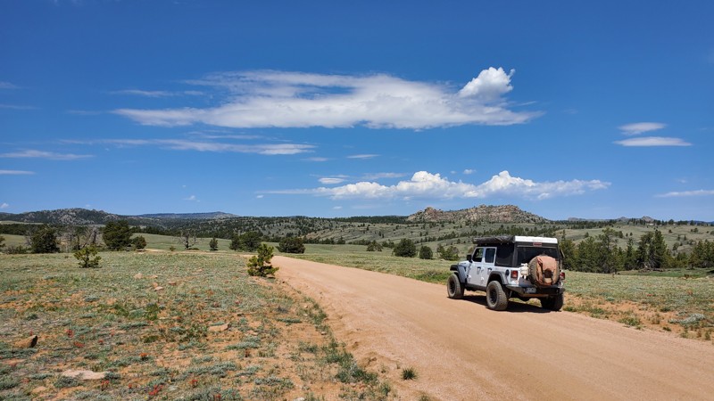
Green Ridge Road is one of several major side roads off of Deep Creek Road in the Sierra Madre Range of the Medicine Bow National Forest in southern Wyoming. It is a beautiful drive as it winds its way along the broad high ground of the Green Ridge through an aspen, pine, and fir forest with some large open meadows. There are also several large, clear cut areas along the road leftover from major logging operations several years ago and you will see large piles of debris wood stacked up and waiting for safe conditions to be burned. The remnants of the logging also mean that the many closed spurs offer a lot of camping opportunities. The plentiful aspen makes this a good choice for fall foliage viewing. The road gets no winter maintenance and is snowed in but is very popular for snowmobiles. This is a nice, relaxing drive through some very pretty country and makes a great addition to a weekend or week-long adventure in the Sierra Madres.
Updated: 08/11/2026
Telephone Road
Hirsig, Wyoming
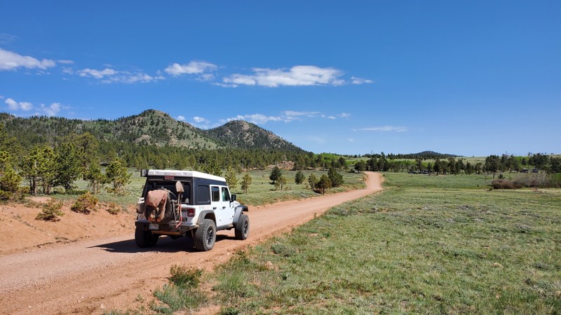
Telephone Road is an easy trail in the heart of Medicine Bow National Forest, colloquially referred to as "Happy Jack." This is one of the longer sections of trail in the area, stretching almost the entire width of the national forest. This trail offers excellent camping opportunities for larger vehicles such as fifth-wheel campers and vans. With access to the main Happy Jack Road, you can be off the grid in a matter of moments, wandering through the high prairie that mainly comprises this area. While Spring and Fall are the prime times of the year to explore this area, Telephone Road is open year-round, making it a great choice for when all the other trails close.
Updated: 07/22/2026
Fifteen Mile Knoll Cutoff
Eden, Wyoming
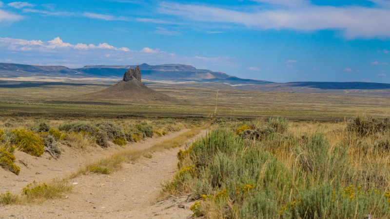
Located in the Northern Red Desert between Farson and Rock Springs, Fifteen Mile Knoll Cutoff is a small, 15-mile section of the 153-mile Wyoming Red Desert Driving Tour. This road starts at Highway 191 just south of Eden and skirts the southwestern edge of the Killpecker Sand Dune Field before intersecting with Chilton Road. It is a wide, packed dirt and gravel road that can be completed by any passenger vehicle. However, the washboards along this road are ferocious and teeth-rattling. Along the way, you will pass the 400-foot tall monolith known as Boar's Tusk. This sacred Native American icon is a geological formation called a volcanic plug, the remaining core of an extinct volcano. Level camping options are limited due to the terrain, but the road passes through BLM land and does allow dispersed camping if you find a suitable location.
Clay soils make the road muddy and impassable during wet periods.
Updated: 10/15/2024
Headquarters Road
Hirsig, Wyoming
Headquarters Road is a well-traveled dirt track in the Medicine Bow National Forest, colloquially referred to as "Happy Jack." Like most other trails in Happy Jack, this trail is suited for passenger vehicles, vans, and large camp setups such as RVs or fifth-wheels looking for an easy place to spend the night off-grid. This trail offers some of the most abundant dispersed camping in the entire area, even a campground located about halfway through the trail. Pair that with dramatic views of Point Crawford off to the west, and this may be some of the most sought-after camping for large camp setups or passenger cars without 4WD.
Updated: 07/10/2025
Toppings Lake
Elk, Wyoming
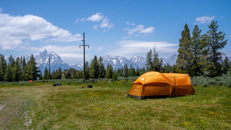
Toppings Lake Road offers one of the most scenic and accessible introductions to dispersed camping in the shadow of Grand Teton National Park. Just a short drive from Jackson, this road winds through forested hillsides and wide-open meadows, revealing campsites with some of the best front-row views of the Teton Range you'll find anywhere. Whether you're arriving in a fully equipped trailer or pitching a tent beneath the stars, the setting here is both rugged and serene, ideal for those looking to experience the wild beauty of Wyoming without straying too far from civilization. In addition to the wonderful camping, Toppings Lake Road is a gateway to the backcountry, a haven for wildlife viewing, and a front porch to sunrise alpenglow on the Teton peaks. This road is ideal for backcountry campers looking to enjoy big views with minimal vehicle demands. Just remember to camp only in designated sites and pack out everything you bring in.

Updated: 07/02/2022
Ditch West
Encampment, Wyoming
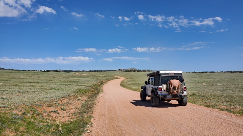
Ditch West is a fun little trail off of Deep Creek Road in the Sierra Madre Range of the Medicine Bow National Forest in southern Wyoming. The trail follows the Belvidere Ditch for most of its length through shimmering aspen groves and picturesque pine and fir forest before fording the ditch near the end and returning to Highway 70. The ditch bank is narrow but not as overgrown as Ditch East. The rippling water and stately forest make for a quiet, peaceful trip (unless you meet an oncoming dirt bike). Ditch West can be combined with Ditch East by running one or the other backwards to extend your peaceful excursion.
Updated: 06/29/2026
Caretakers Road
Hirsig, Wyoming
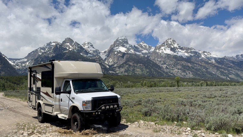
Caretakers Road is a well-traveled dirt road in the Medicine Bow National Forest, colloquially referred to as "Happy Jack." Like most other trails in Happy Jack, this trail is suited for passenger vehicles, vans, and large camp setups such as RVs or fifth-wheels looking for an easy place to spend the night off-grid. If you are looking for more of an offroad adventure, Caretakers Road will connect you with Crow Creek Road, arguably the most challenging trail in the entire area.
Updated: 07/27/2026
Bar BC Road
Beaver Creek, Wyoming
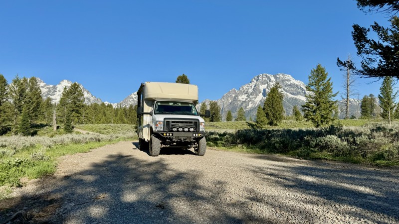
Bar BC Road is located within the park boundaries of Grand Teton National Park. This is an opportunity to enjoy viewing wildlife on and/or near the trail, as it is a wide-open landscape with the spectacular Teton Mountain Range as your backdrop. The road ends at Bar BC Ranch. A sprawling, nearly forgotten ranch with many dilapidated structures along Snake River, you are encouraged to take a walking tour.
This moderate out-and-back trail is rough and rocky, with many potholes. Its most challenging part is a steep hill with these same holes. High-clearance four-wheel drive is recommended. It is also subjected to seasonal closure in the winter months, accessible from May through October. With no camping permissible along this trail, be prepared to take advantage of the many other camping opportunities nearby.
Updated: 07/27/2026
Spalding Bay Road
Jenny Lake, Wyoming
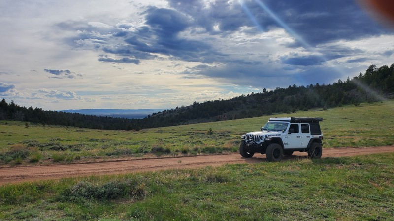
This moderate out-and-back trail is located within the park boundaries of Grand Teton National Park and is only accessible by vehicle from May through October. It takes you down to Spalding Bay, part of Jackson Lake. A boat launch, picnic table, and two backcountry campsites are only available by obtaining a backcountry permit through Recreation.gov or one of Grand Teton's three permit offices in the visitor centers. The trail itself does NOT require a permit to enjoy for the day and is only accessible May through October.
The most challenging part of this trail is one narrow, steep switch back. If you are driving a larger vehicle, be aware you may acquire "pin striping" due to overgrowth in a couple of sections.
Updated: 10/15/2024
West Pilot Hill
The Buttes, Wyoming
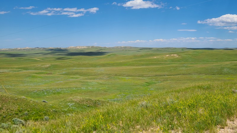
West Pilot Hill is a well-traveled dirt road in the Medicine Bow National Forest, colloquially referred to as "Happy Jack." Like most other trails in Happy Jack, this trail is suited for passenger vehicles, vans, and large camp setups such as RVs or fifth-wheels looking for an easy place to spend the night off-grid. A word of caution, this trail ends abruptly just past Laycock Spring, which is going to be the easiest place to turn around. For that reason, use caution if progressing past this turn. A tight multi-point turn in a smaller rig or some skillful backing up for a larger rig with a trailer will be necessary. Use this trail to put yourself close to the hiking and biking trailheads for which Happy Jack is known.
Updated: 10/15/2024
Mesa Road
Mayoworth, Wyoming
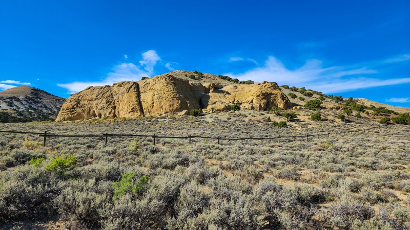
Mesa Road is an easy county-maintained gravel road with lovely views of Wyoming's rolling hills and pastures. This easy route between Highways 191 and 196 is enjoyable and easy for those who are new to off-pavement driving and exploring. A standard two-wheel drive vehicle is all that is needed to travel on Mesa Road. There are no dispersed campsites in this area.
Updated: 07/22/2026
White Mountain Petroglyphs
Winton, Wyoming
The White Mountain Petroglyphs are a permanent reminder of the ancient people that once lived in Southwest Wyoming. The Plains and Great Basin Native Americans who lived in this area 200-1,000 years ago took to the 300-foot sandstone cliff face of White Mountain to forever tell their stories to future generations. Starting on Chilton Road, take an easy gravel road for just shy of 3 miles to a BLM parking lot with a restroom. From here, it is a 1/2-mile hike to the petroglyph site.

Upgrade your Membership
Unlock all of the details on every Trail Guide and Scout Route.
Start a 7-day Free TrialCommunity
Partners

