



By clicking "ACCEPT", you agree to be the terms and conditions of each policy linked to above. You also agree to the storing of cookies on your device to facilitate the operation and functionality of our site, enhance and customize your user experience, and to analyze how our site is used.
West Virginia Off-Road Trails
20
Total Trail Guides 12

175
Detailed Waypoints 83
Try a Free 7-Day Trial and unlock it all
Start a Free Trial Most Recent Trail Reviews
Rated 5/5
Open
Visited: 09/18/2026
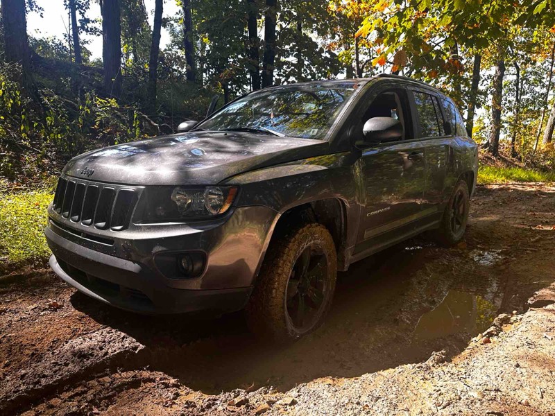
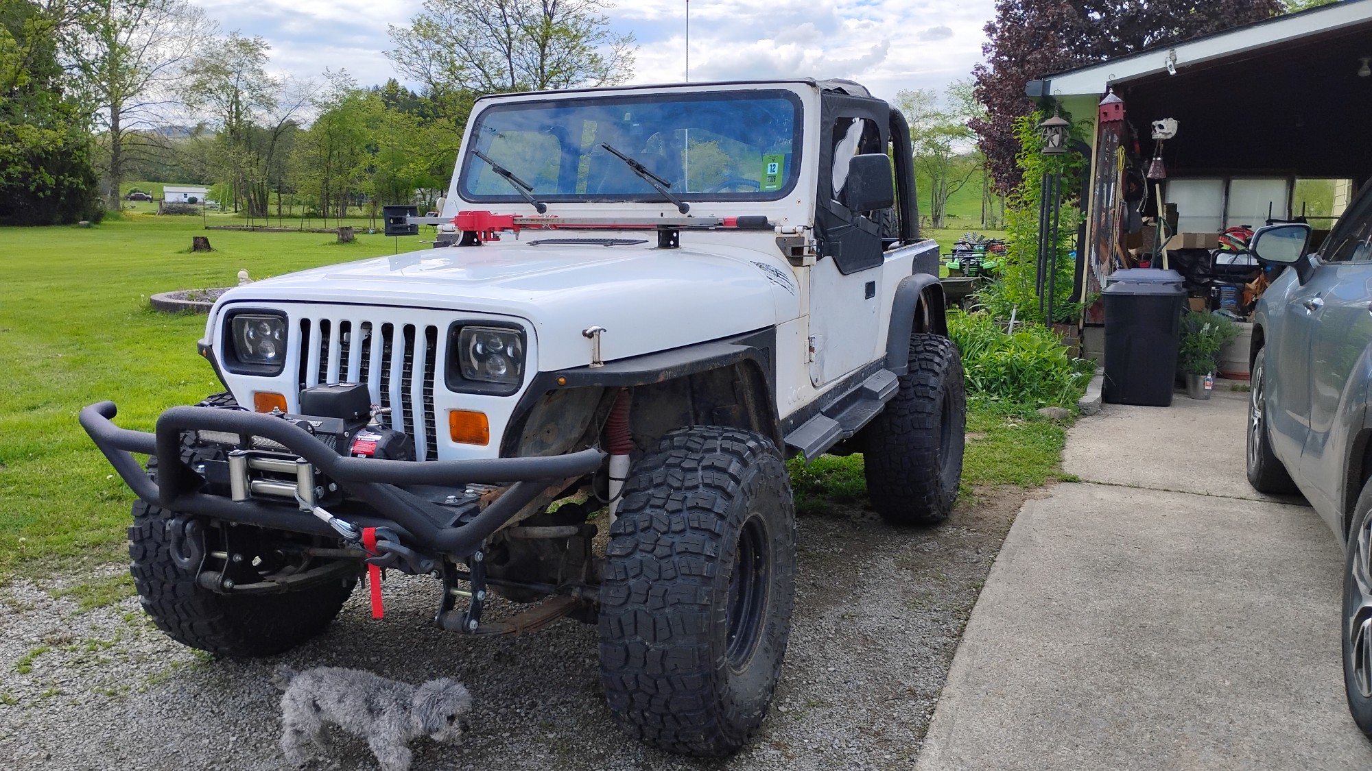
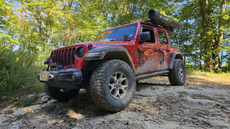
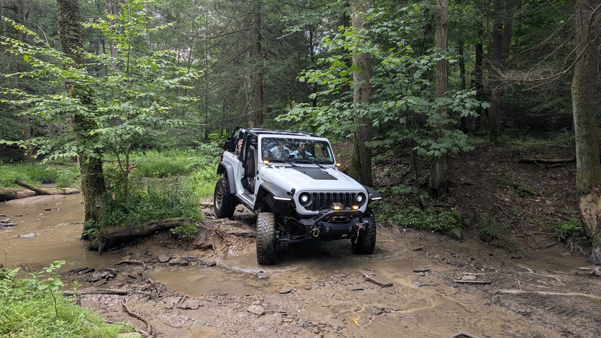
Trail is wet but fully passable, the Jeep pic shows the Jeep immediately after clearing the trail. No downed trees, washouts, or other blockages encountered. Water crossings are active, but nothing un...

Kenny Gall
No Rating
Open
Visited: 08/11/2026
Per the MVUM, the trail is seasonally open. As always, check current fire restrictions/closures before venturing out.

Trails Offroad
Official Crew
No Rating
Open
Visited: 08/06/2026
My wife bought me my first jeep for Christmas of 2025. This was our first trail we got to go on since we have had it. We had a blast in a stock 2025 Willys just took out time with it the trail looked ...
EL
Eddie L Dickens
Rated 5/5
Open
Visited: 08/02/2026
Great skill and confidence booster for stock Rubicon JL with self rescue gear
JM
James Means
Rated 5/5
Open
Visited: 07/14/2026
The new rating is spot on. I love running this trail in conjunction with Canyon Rim Road, makes for a good day of wheeling with beautiful sights and wildlife. Trail is OPEN as of now. State road is st...
Joseph Sandy
No Rating
Open
Visited: 03/20/2026
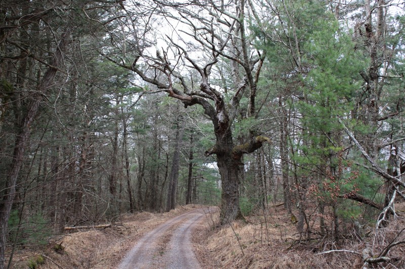
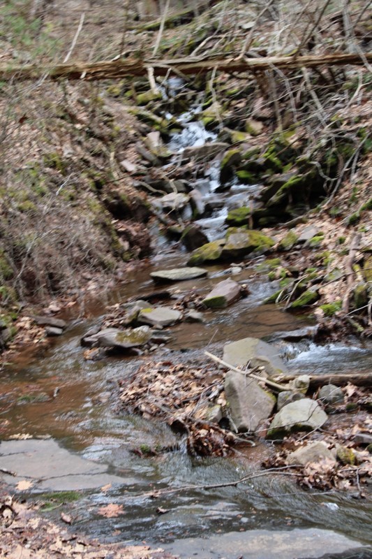
Mostly easy. Some snow still in spots but you can easily pass . Very scenic.
NJ
Neil Johnson
Rated 4/5
Open
Visited: 02/20/2026
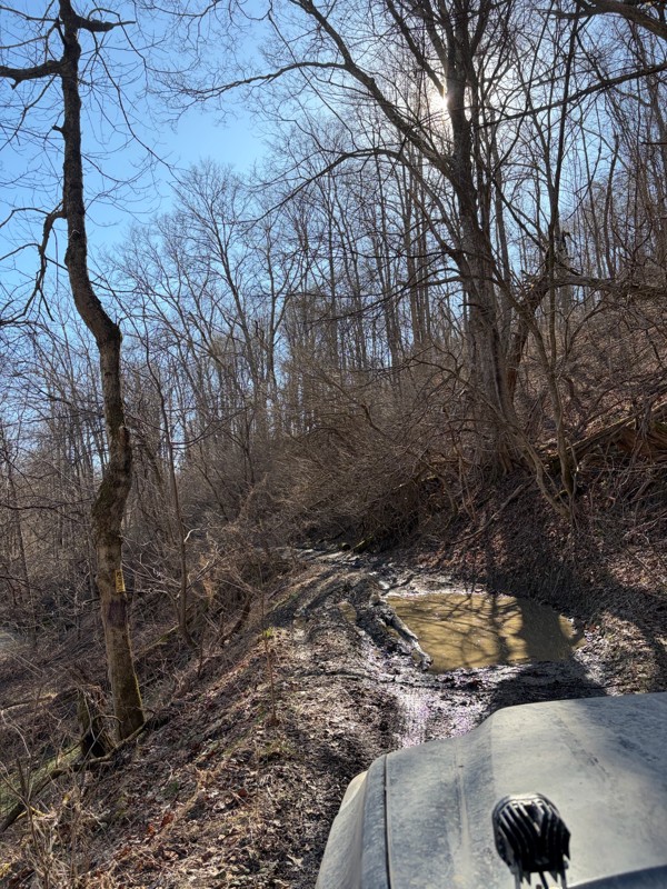
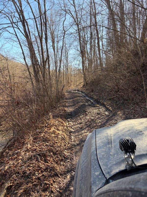
The first half of the trail was super well maintained and a lot of fun! Got to the bridge and turned around (in very poor shape). Apparently the gate no longer opens, so you have to turn around half w...
BS
Billy Smith
No Rating
Seasonal Closure
Visited: 02/15/2026
According to this trails management agency, the trail is likely closed for the season.
You can reach out to the agency for more details.
Be sure to leave us a report and let us know ...
Trails Offroad
Official Crew
No Rating
Temporary Closure
Visited: 11/19/2025
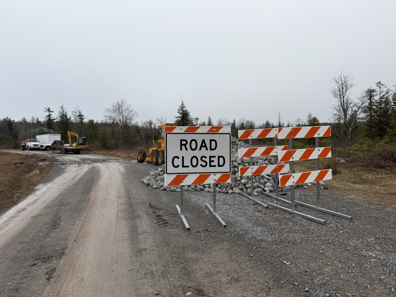
Missed the first sign at the entrance and came across a barrier and grading crew, stopped and spoke with them and they confirmed it is closed while they regrade and install fresh gravel. No ETA for co...
TT
Tripp Tapp
No Rating
Open
Visited: 11/16/2025
awesome trail. very new to offroading so this one made me a little nervous. my jeep is stock still. no lift on 33's. large ruts and a few deep mud holes but the jeep handled it like a champ. you'l...
WM
William Mitchell
No Rating
Open
Visited: 11/16/2025
so im very new to offroading. did not see a mudhole. got past the forst house that says to leave. right past it on the left is another little shanty. still on gravel. get to top of hill. can go ri...
WM
William Mitchell
Rated 5/5
Open
Visited: 11/06/2025
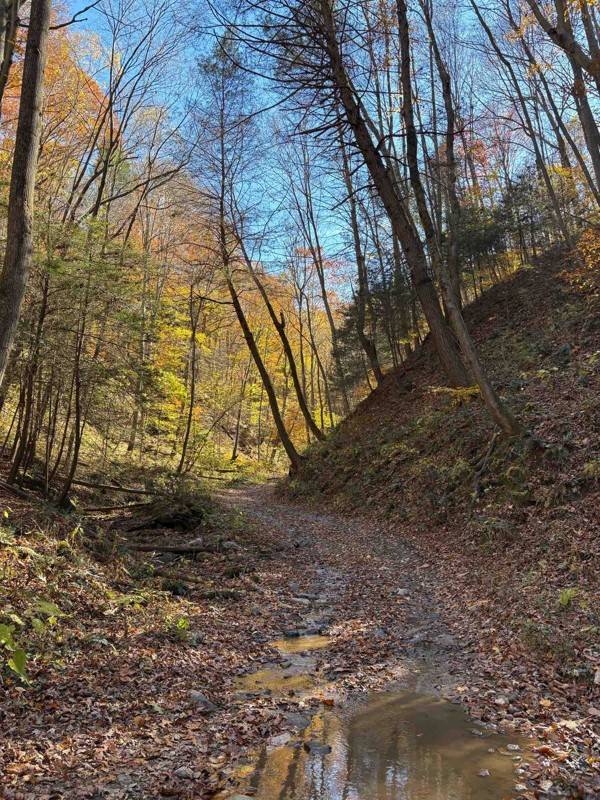
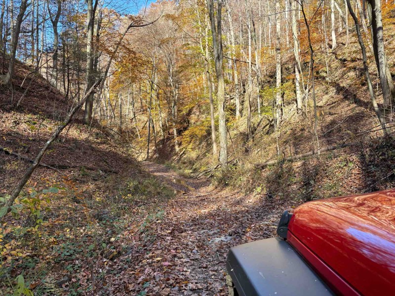
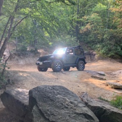
Took this down from the river overlook. Started off easy, but once you start going downhill in earnest, you gotta start paying more attention. It was easy today under dry conditions, but I could see i...
Chris Warner
Rated 5/5
Open
Visited: 11/06/2025
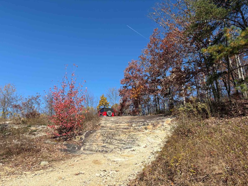
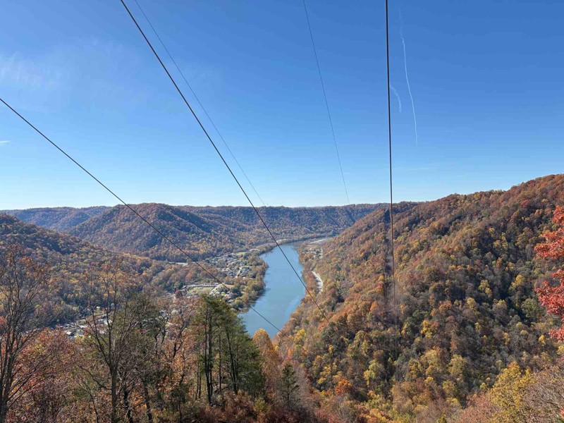
Fantastic trail! Had a great time. Most of it is pretty easy, but it gets a little more difficult towards the end at the overlook as already described. Went in my stock JLU, had no problems at all, ev...
Chris Warner
Rated 5/5
Open
Visited: 11/06/2025
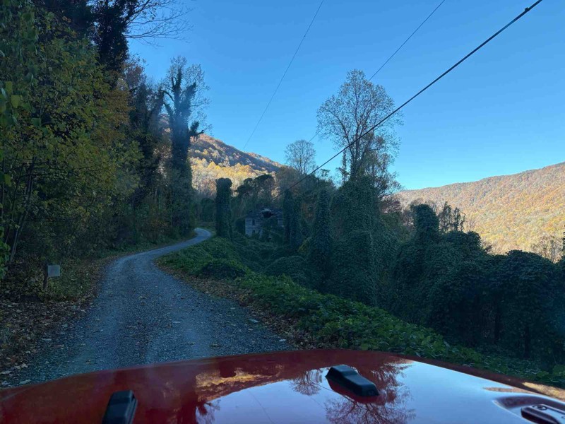
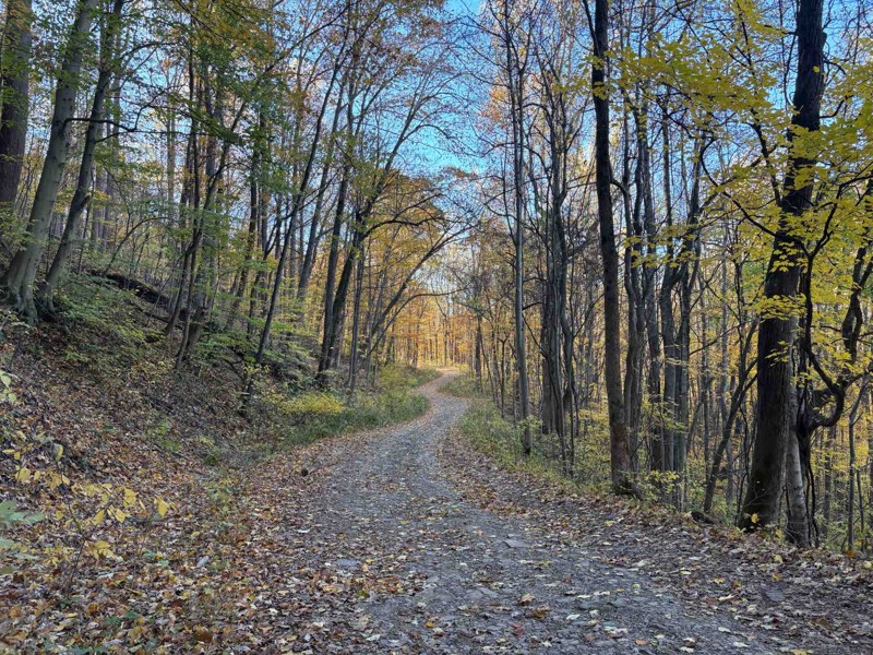
Biggest comment to make - the boulder is gone! Went to this trail expecting it, but they’ve obviously cleared it out (I think I took a pic of where it used to be). Otherwise, it was a nice, easy trail...
Chris Warner
No Rating
Open
Visited: 11/03/2025
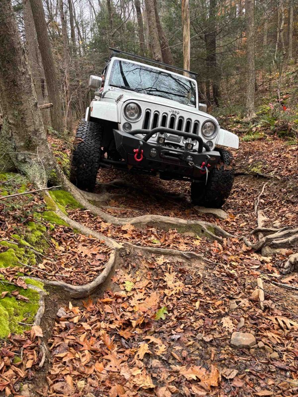
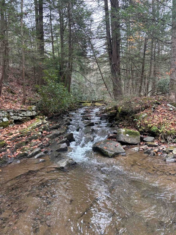
Amazing trail. A bit technical and rough, but overall a super fun trail. We had to remove a large tree from the trail, but no big deal.
JB
jason best
AE
Aaron E Lasure
Rated 4/5
Open
Visited: 09/11/2025
I ran this clockwise, coming in just south of Davis, WV. Most of the trail is just a gravel road with a handful of dispersed campsites. The difficult section is about 2/3 the way around if doing it th...
Peter Dougherty
Rated 5/5
Open
Visited: 09/11/2025
Very easy but enjoyable trail combo. The easy climbs necessary to get to it are even more fun. Not listed here is trail #29, which was more challenging than these two and definitely earning the blue r...
Peter Dougherty
Rated 4/5
Open
Visited: 09/11/2025
I ran this east to west, and as of September 2025 there is a second washout a bit further west, at 39.11227, -79.57259. Nothing extreme, but care is needed. The main washout further east isn't particu...
Peter Dougherty
No Rating
Open
Visited: 08/18/2025
Did the trail starting from Blackwater Falls State Park. Went about 4.7 miles at which point there is a turn around area and the trail turns into an easy graded dirt road. Reversed course at that poin...
MS
Marvin Smith
Rated 5/5
Open
Visited: 08/01/2025
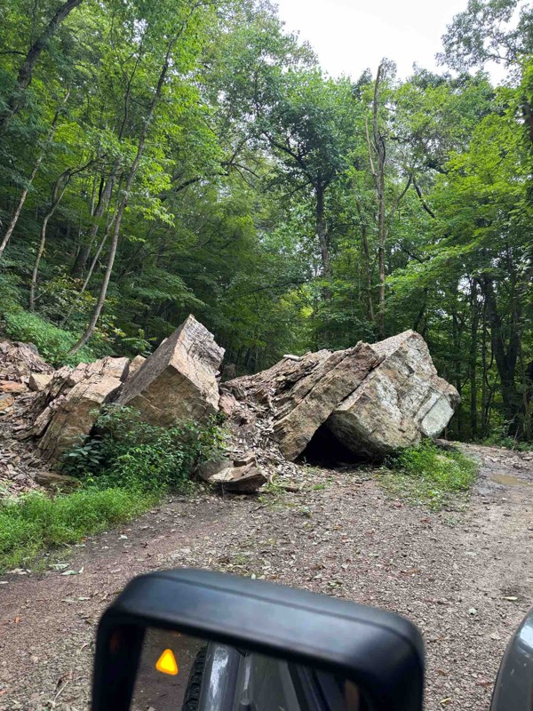
Fun, relaxing trail. It had recently rained so the ruts had standing water, but nothing that came close to requiring 4WD. The fallen boulder was easy to navigate around. The tree canopy, rock faces, a...
RS
Ryan Spitznagel
No Rating
Open
Visited: 06/28/2025
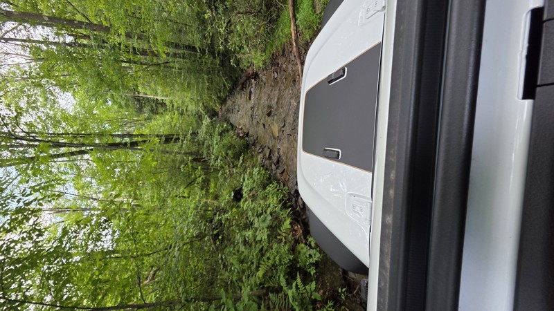
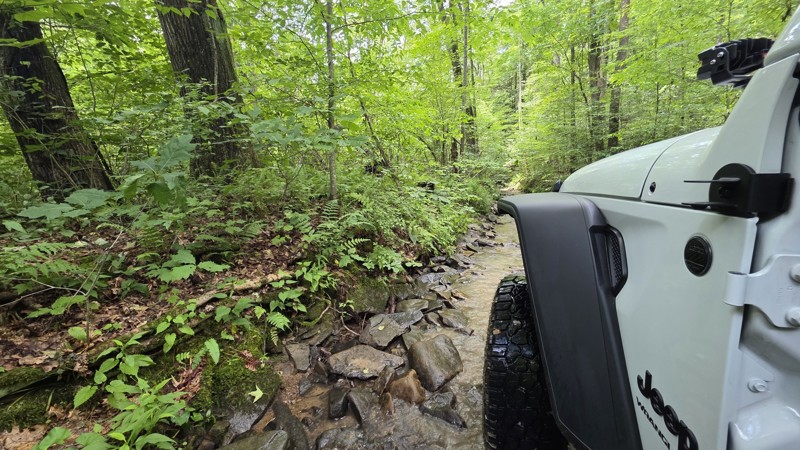
This is Peddler's Glory Rd (not Pedlar's Run). Beautiful trail. The description is accurate. Lots of rocky creekbed to crawl along. I had to use 3 of the bypasses due to large drops that I might have ...
Robert Barnett
Rated 4/5
Partially Open
Visited: 06/15/2025
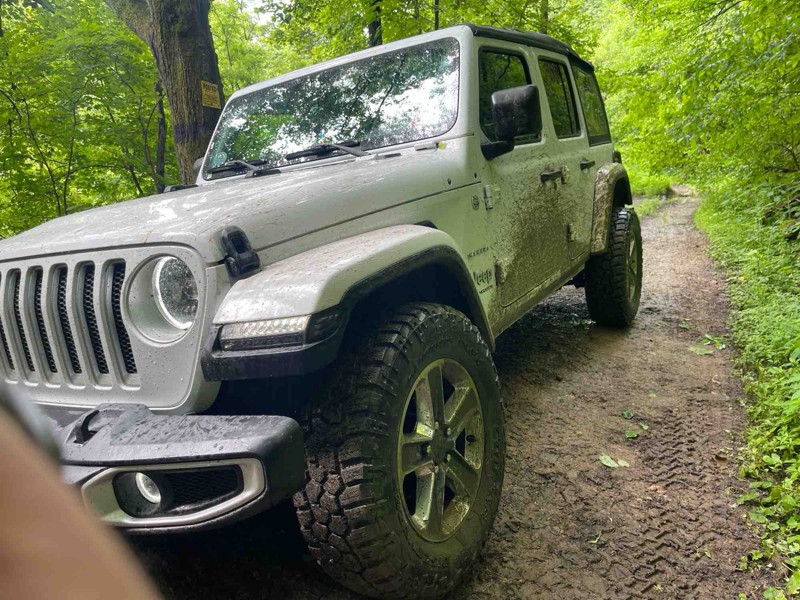
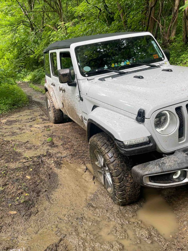
Part of the trail is closed which leaves the bridge as the only way across. I definitely wouldn’t try the bridge as the beams are rusted through and the slats are essentially rotted.
I did come at t...
SF
Spencer Flanagan
Rated 5/5
Open
Visited: 06/05/2025
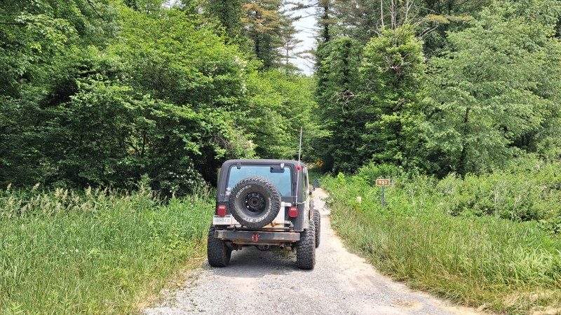
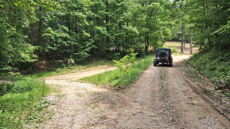
It is a short Trail. It does offer beautiful views of the landscape as well as local wildlife. It's a nice spot to take the kids for a little nature hike. And offers a few spots for picnics along th...
Joseph Sandy
No Rating
Open
Visited: 05/04/2025
No joke about the pinstriping, but the trail is super cool. Quite rocky in the second half. There was a lot rain this morning and the puddles were full and the streams were rushing. Stock Ranger Rapt...
PN
Paul Neureiter
Rated 4/5
Open
Visited: 04/21/2025
Very peaceful drive along the West Fork Greenbrier. Lots of fishing spots, but only a few of the campsites looked very desirable. I enjoyed it!
JJ
Justin J
Rated 3/5
Partially Open
Visited: 04/18/2025
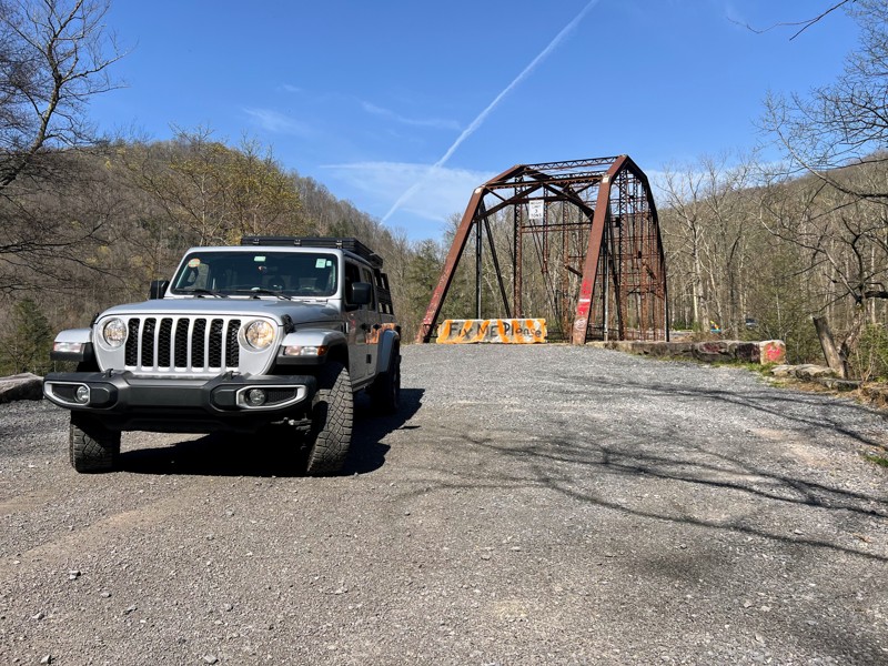
Trail is in good shape coming from the bull run side, but the scenic Bridge over the cheat river is permanently closed as of recent. Concrete barriers block off the bridge to vehicle traffic after its...
N
Nathan
Rated 2/5
Open
Visited: 04/17/2025
Family friendly gravel road with one rock stepper section. Stock vehicles can make the whole drive.

Andrew Spade
Rated 3/5
Partially Open
Visited: 04/17/2025
Not terrible. A lot of gates preventing any wheeling other than straight through. A nice smooth ride on a back road.
Andrew Spade
Rated 5/5
Open
Visited: 03/28/2025
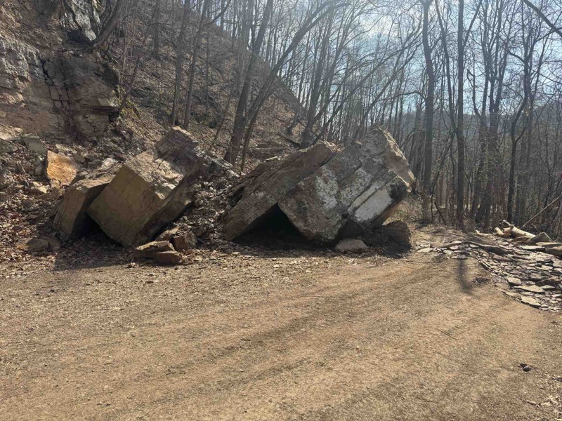
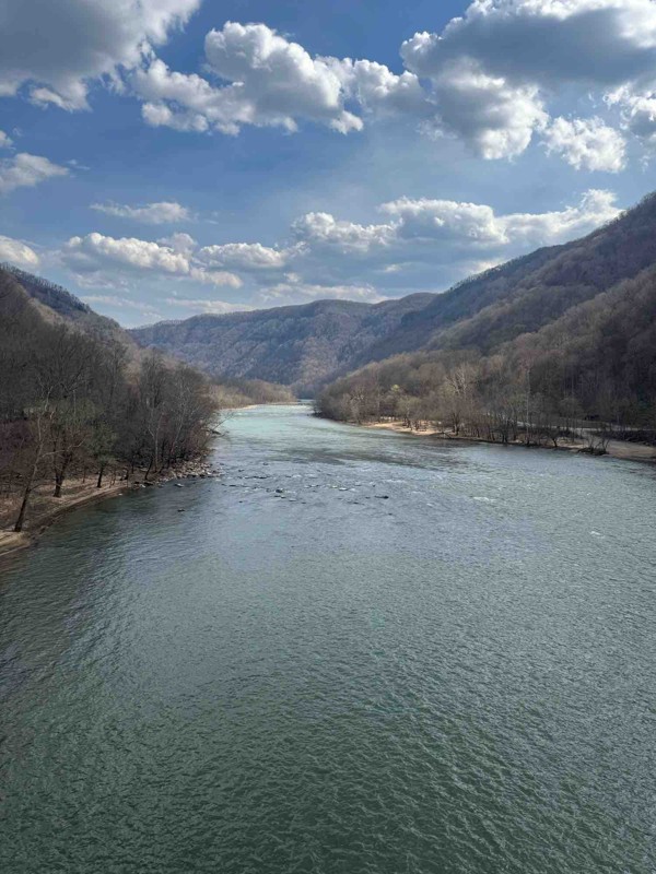
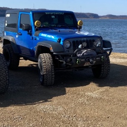
Easy trail fallen rocks in middle is only difficult part. Tree company was out there cutting back trees. Great trail to enjoy nature
Shark Bait Jeep
Rated 5/5
Open
Visited: 03/26/2025
Trail is a good 4. there's another wash out where they put a culvert in. Not real bad to maneuver around. I went through with ease on the whole trail. But it is rougher than it was before winter. Awes...
Joseph Sandy
Rated 5/5
Open
Visited: 03/08/2025
I agree with the rating. Right now the trail is ROUGH and freshly snow covered. There are some big holes and some pretty good washouts you have to be mindful of. I suspect the heavy rain last month in...

Ryan Boudreau
Official Crew
Rated 5/5
Open
Visited: 03/08/2025
Great scenic trail to connect with a whole series of other trails
Ryan Boudreau
Official Crew
Rated 5/5
Open
Visited: 03/08/2025
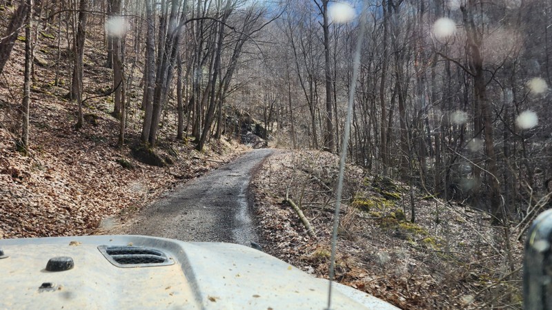
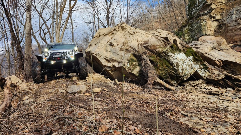
There is a brand new rock slide on the southern end of the trail which almost completely blocks the road. To get around, you are forced right up to the edge of the road. It's not hard, but could be sk...
Ryan Boudreau
Official Crew
Rated 3/5
Open
Visited: 03/08/2025
Fine road, nothing too special. Just a simple connector.
Ryan Boudreau
Official Crew
Rated 4/5
Open
Visited: 03/08/2025
Easy road. It is open with a little bit of snow currently on the ground. Should melt fast with Temps this week.
Ryan Boudreau
Official Crew
Rated 5/5
Open
Visited: 03/08/2025
This road is SO cool! Great scenic cruise along the creek with some cool rock walls to drive next to. it is a bit tight in so areas if you run into oncoming traffic.
Ryan Boudreau
Official Crew
Rated 5/5
Open
Visited: 03/08/2025
Cool scenic stretch of trail to stitch together with others.
Ryan Boudreau
Official Crew
Rated 5/5
Open
Visited: 03/08/2025
This trail is far harder than the 2 rating. And we were in a highly capable jeep on 40s. It is extremely rough with deep holes and rocks that most stock high clearance vehicles are going to have issue...
Ryan Boudreau
Official Crew
No Rating
Seasonal Closure
Visited: 02/15/2025
According to this trails management agency, the trail is likely closed for the season.
You can reach out to the agency for more details.
Be sure to leave us a report and let us know ...
Trails Offroad
Official Crew
Rated 1/5
Temporary Closure
Visited: 10/27/2024
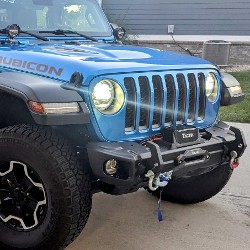
Sadly, this trail didn´t last very long, We went east to west and quickly found it turned into a gravel road and a short distance later, it was posted ¨Road Closed.¨ It appears a logging company has...
Dan Wilson
Rated 4/5
Open
Visited: 10/26/2024
I did this east to west. The washed out section looks challenging but it really isn't. Its a fun trail though.
CS
Charles Saftner
Rated 5/5
Open
Visited: 10/26/2024
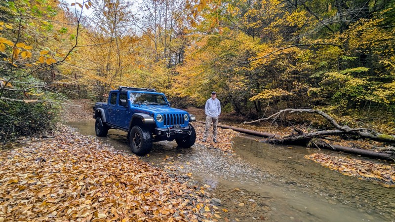
The trail was in excellent shape with gorgeous fall colors on full display. There wasn´t as much water as should be normal due to recent drought conditions, but there still were plenty of crossings t...
Dan Wilson
Rated 4/5
Open
Visited: 10/12/2024
I did this west to east, or CCW. Its a fun trail but a little tight in spots. The end, or eastern section, is just a gravel road so this is a lot shorter than it looks on the map.
CS
Charles Saftner
No Rating
Open
Visited: 09/21/2024
Did the trail for the second time this year. Started at the Blackwater Falls State Park drove the trail and then turned around and drove it again coming from the other end. Surprisingly for a Saturday...
MS
Marvin Smith
C
Colin
No Rating
Open
Visited: 08/18/2024
Trail is open. Notify the office if any tree clearing needs to take place. They are not great at patrolling all the trails for tree clearing.
Ryan Boudreau
Official Crew
Rated 5/5
Open
Visited: 08/17/2024
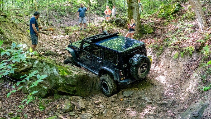
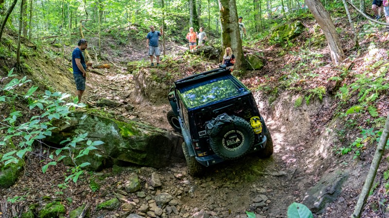
Trail was extremely rough on our group today. 7 rigs attempted it. First one on 40s made it through after some struggles. 2nd had a rear locker failure and couldn't make it past the first major obstac...
Ryan Boudreau
Official Crew
Rated 3/5
Open
Visited: 08/17/2024
Trail is in good condition. Very smooth, but yes steep in a few spots. It was dry and only needed 2wd. I don't doubt it would be more slippery if it was wet. But in regular conditions, easy.
Ryan Boudreau
Official Crew
Rated 3/5
Open
Visited: 08/17/2024
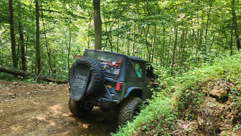
No different than the last time I was here. This trail is still an easy loop for any trail, but be aware that if you are in a group, there are not a lot of areas to pull out of the way for oncoming tr...
Ryan Boudreau
Official Crew
Most Popular


Updated: 10/15/2024
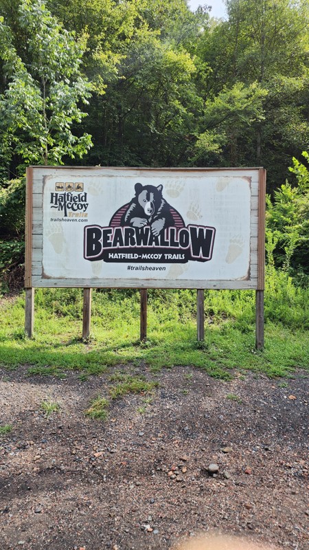
Bearwallow 47
Crooked Creek, West Virginia
Trail 47 is listed as a black trail per the Park's measurement. Although listed as black, it is a fairly straightforward drive where you only need to contend with steep pitches, which the south end is very steep. Traveling uphill in wet weather could be a chore. Suitable for any stock SUV with low gearing.

Updated: 10/15/2024
Cabwaylingo 75
Wilsondale, West Virginia
Located just east of Spruce Creek Campground, Cabwaylingo 75 is a challenging trail with steep hills, big rocks, and deep tire trenches. The trail begins off Highway 41 and begins climbing sharply as it makes its way out of Gourd Branch. Steep hills with deep trenching will test your tire traction, while big rock slabs and small boulders test your line selection. This is a great trail for those wanting to test their vehicle's capabilities. Cabwaylingo 55 is best suited for high clearance 4x4s with low range and larger tires. Traction aid devices could be necessary.
Cabwaylingo has two campgrounds and multiple cabins located on-site. In addition, many home rentals can be found nearby.
Hatfield-McCoy Trails are open 365 days a year, from sunup to sundown. Permits are required for all operators and passengers. Additionally, all drivers and passengers must wear a helmet on the trails. This includes full-size vehicles such as Jeeps.

Updated: 10/15/2024
Mason Branch
Leander, West Virginia
The Gauley River is one of the natural jewels of the Central Appalachians, and its tributaries are just as spectacular. Mason Branch is a popular river access point with several small waterfalls to view on the way down to a large parking area. The road down to the river is an easy, wide gravel road suitable for any vehicle. Once at the parking area, Panther Creek Falls is located just a short hike to the north, along with a grotto fall nicknamed "Jannie Hole" just a bit farther up the foot trail. Bring your camera and bathing suit and enjoy a magical picnic lunch in the Gauley River National Recreation Area.

Updated: 11/07/2025
Rubes Hollow
Cedar Grove, West Virginia
Rubes Hollow is a short and relatively easy trail that starts at Kelly's Creek Road in a small neighborhood and slithers its way up the holler connecting with Cob Hollow. You'll follow a small creek, driving in the creekbed most of the way. The holler is very narrow and tight, leaving the road only wide enough for one full-size vehicle most of the way. However, there are plenty of pull-out opportunities to pass oncoming traffic. There are small rocks along the way and one short but slick ledge climb. This road is suitable for any stock 4x4 vehicle.

Updated: 10/15/2024
Cabwaylingo 16
Missouri Branch, West Virginia
Paralleling Sleepy Hollow and traveling just below Martins Ridge, Cabwaylingo 16 is a straight-through, single-vehicle-wide trail. Unlike other trails in the area, this trail offers a short trek through an elegant pine forest. The road surface is mostly packed dirt with a relentless number of potholes. There are several steep hills and tight switchbacks that will require multi-point turns. This trail is suitable for any stock 4x4 vehicle with low gearing.
Cabwaylingo has two campgrounds and multiple cabins located on-site. In addition, many home rentals can be found nearby.
Hatfield-McCoy Trails are open 365 days a year, from sunup to sundown. Permits are required for all operators and passengers. Additionally, all drivers and passengers must wear a helmet on the trails. This includes full-size vehicles such as Jeeps.

Updated: 10/15/2024
Cranberry
Richwood, West Virginia
Cranberry follows the Cranberry River. It is popular for its 14 dispersed camping sites scattered along the edge of the river. The sites are first come, first served and cost a fee. Sites 7 and 12 are double sites and double the fee. The fee stations are sporadically placed along the road. In addition, the Big Rock and Cranberry improved campgrounds are accessed via this road. The road is suitable for any vehicle.

Updated: 10/15/2024
Stuart Drive
Alpena, West Virginia
Residing in the Monongahela National Forest, Stuarts Drive connects the Alleghany Parkway to Shavers Fork Road. It quickly gains elevation, with its high points being Stuarts and Bickle Knobs, and is suitable for any vehicle. Dispersed Camping is limited to two hidden sites, but near the middle of the route lays the Bear Heaven Campground, which is seasonal and on a first-come, first-served basis with eight sites. The road is mostly under a tree canopy, with a few open areas where it passes through grazing allotments.

Updated: 10/15/2024
Woods Ferry
Leander, West Virginia
Located within the Gauley River National Recreational Area, Wood's Ferry leads to a popular put-in and take-out site for the Gauley River and is home to the namesake rapid Wood's Ferry, which is the first major rapid along the Lower Gauley Canyon. The road is an easy gravel road, suitable for any vehicle. The road is wide, thus passing oncoming traffic is not a problem. There are two large parking lots and two restrooms/changing areas at the river put-in. There is also a large beach where you can stop, relax, and enjoy watching rafters and kayakers paddle through the rapids.

Updated: 10/15/2024
Bearwallow 70
Crooked Creek, West Virginia
Bearwallow 70 is a short connector trail between the Outer Green Loop and trail 23. The trail is fairly steep, reaching a 25-degree pitch, but has a solid road surface with minimal rocks. The road surface provides good traction, which keeps your vehicle from skidding down the hill. Bearwallow marks this trail as a black trail, but there are no obstacles to contend with other than the steep terrain. 4-Low is recommended to help control vehicle braking.
Hatfield-McCoy Trails are open 365 days a year, from sunup to sundown. Permits are required for all operators and passengers. Additionally, all drivers and passengers must wear a helmet on the trails. This includes full-size vehicles such as Jeeps.

Updated: 10/15/2024
Waterfall Trail
Swiss, West Virginia
Located right next to Laurel Creek near the town of Swiss, Waterfall Trail is a 0.6-mile long trail that can take several hours. The trail starts with a large, 7-foot, double ledge climb and then follows a narrow holler with numerous large boulders, off-camber leans, and steep hillsides. The biggest obstacle is the waterfall, marked with a sign at the beginning. Many people come just to attempt the obstacle at the beginning and then turn around, but the entire length of the trail is a continuous challenge good for any modified vehicle with large tires, traction aid devices, and heavy skid plate armor.

Updated: 10/15/2024
Cabwaylingo 14
Wilsondale, West Virginia
At just over 3.5 miles long, Cabwaylingo 14 is a straight-through trail that, in combination with trail 22, connects Highway 41 to Highway 35. This trail weaves its way through thick forest, up and down hillsides, across tight hollows, and leaves you feeling like you are hundreds of miles from civilization. There are several extremely steep hills and multiple water bars that had a stock JLU bottoming out in the hard-packed dirt. The trail surface is hard-packed, 1.5 vehicles wide, with no obstacles. This trail is best suited for a high clearance vehicle with low range.
Cabwaylingo has two campgrounds and multiple cabins located on-site. In addition, many home rentals can be found nearby.
Hatfield-McCoy Trails are open 365 days a year, from sunup to sundown. Permits are required for all operators and passengers. Additionally, all drivers and passengers must wear a helmet on the trails. This includes full-size vehicles such as Jeeps.

Updated: 03/14/2025
Upper Williams
Raintown, West Virginia
Upper Williams sits directly off the famous Highland Scenic Highway and connects to the now-paved Williams River Road and its numerous designated dispersed campsites. It is entirely gravel and has five picturesque designated campsites south of the improved Day Run Campground. It is suitable for any vehicle; however, warning signs stand that the area is subject to flash flooding.

Updated: 10/15/2024
Bearwallow 41
Crooked Creek, West Virginia
Trail 41 is listed as a blue trail per the Park's measurement. It connects to several other trails in the area, and the pitch is the real difference between the greens and the blues. Towards the north end, there's a long steep pitch maxing at a 23-degree angle. Otherwise, the road is smooth and has plenty of sections wide enough for passing. Suitable for any stock SUV with low gearing.

Updated: 10/15/2024
Elklick
Hambleton, West Virginia
Directly in the middle of the Fernow Experimental Forest, Elklick is the perfect road for rare breeds interested in forestry and ecology. The Fernow Experimental Forest was established in 1934 to address water quantity and water and timber quality issues. As you drive the road, interpretive signage tells a story of various timber regrowth methods used, each showing different results in the health of the forest. As bland as the topic sounds, it is pretty interesting to see the results for your eyes in a side by side comparison. There is no camping along this road.

Updated: 10/15/2024
Ivy Branch 45
Adams, West Virginia
Ivy Branch 45 is a bumpy and rutty trail with steep 22-degree declines that snakes its way through a thickly wooded forest before parallelling the railroad tracks on the west side of the Little Coal River. This trail makes a great loop when combined with trail 46. This trail is suitable for any high clearance vehicle with low gearing.
There is no camping onsite, but there are many cabin rentals nearby.
Hatfield-McCoy Trails are open 365 days a year, from sunup to sundown. Permits are required for all operators and passengers. Additionally, all drivers and passengers must wear a helmet on the trails. This includes full-size vehicles such as Jeeps.

Updated: 03/14/2025
River Road
Cheat Bridge, West Virginia
River Road provides access into and/or out of Old Mine and connects to US Highway 250. It travels alongside the Shaver Fork and is typically lined with thick rhododendrons. Maps show this road as a forest service road, but it appears to be used mostly for local access. Hard-packed gravel makes the road suitable for high-clearance vehicles. Camping is limited to just two pre-disturbed sites, and do note that a rail line next to the road could disrupt your night of sleep.
On the northern end, towards Highway 250, a spur takes you to Cheat Summit Fort, where a fort was built by Union forces to protect the Staunton-Parkersburg Turnpike and the Baltimore and Ohio Railroad during the Civil War. In 1861, the Confederates attempted to take control of the fort and failed. The failure is believed to be one of the main reasons General Robert E. Lee's west Virginia campaign failed. The fort has little left to see, but it is worth the quick side trip to walk the grounds.

Updated: 10/15/2024
Ivy Branch 97
Adams, West Virginia
Located in the northeast corner of the Ivy Branch Trail System, Ivy Branch 97 hides a monster hill climb deep within the thick trees, fit for only the bravest wheelers. This trail is best run starting from trail 37 and traversing the climbs in the uphill direction, traveling south towards trail 38. The trail is marked as a double black diamond trail, and rightfully so. Beginning immediately, the trail climbs a small series of rocks, making its way up a steep, 24-degree hill with a peppering of loose rock and shallow tire ruts. This first hill climb is a bit deceptive because it is only a taste of the real challenge coming along the last 400 feet of trail at the second hill climb. The final climb of the trail is a daunting 35-degree pitch with deep, 18" tire ruts and large, flat, moving rocks scattered across the hillside. Lockers, big tires, and a heavy throttle will be needed to conquer this hill successfully.
There is no camping onsite, but there are many cabin rentals nearby.
Hatfield-McCoy Trails are open 365 days a year, from sunup to sundown. Permits are required for all operators and passengers. Additionally, all drivers and passengers must wear a helmet on the trails. This includes full-size vehicles such as Jeeps.

Updated: 10/15/2024
Allegheny
Thornwood, West Virginia
Allegheny is a maintained gravel road that connects Buffalo Fork and Smoke Camp and is suitable for any high-clearance vehicle. There is no camping along the drive, but the road does pass several hiking trailheads. Views are limited to the hardwood forest you are driving through.

Updated: 10/15/2024
Cabwaylingo 15
Missouri Branch, West Virginia
Cabwaylingo 15 is a short, easy community connector trail to Missouri Branch and Dunlow. This Hatfield-McCoy trail is a leisure drive next to West Fork Twevlepole Creek and offers an alternative entrance into the trail system by avoiding the trailhead office and the parking lot.
Cabwaylingo State Forest has two campgrounds and multiple cabins located on-site. In addition, many home rentals can be found nearby.
Hatfield-McCoy Trails are open 365 days a year, from sunup to sundown. Permits are required for all operators and passengers. Additionally, all drivers and passengers must wear a helmet on the trails. This includes full-size vehicles such as Jeeps.

Updated: 10/15/2024
Ivy Branch 46
Adams, West Virginia
Ivy Branch 46 is a slow-going, easy trail that is extremely bumpy, rutty, and rough, with an endless number of potholes. This trail slowly climbs the ridgeline to the west above trail 45 but only reaches a 12-degree pitch. This trail is best when combined with trail 45, making a nice loop in the southeast corner of the Ivy Branch Trail System. Trail 46 is suitable for any vehicle.
There is no camping onsite, but there are many cabin rentals nearby.
Hatfield-McCoy Trails are open 365 days a year, from sunup to sundown. Permits are required for all operators and passengers. Additionally, all drivers and passengers must wear a helmet on the trails. This includes full-size vehicles such as Jeeps.

Updated: 10/15/2024
Buffalo Fork
Thornwood, West Virginia
Buffalo Fork is known for Lake Buffalo and its designated dispersed camping. The 22-acre lake is regularly stocked with trout by the West Virginia Division of Natural Resources. The half-dozen sites are numbered, and most are directly on the side of the road. The road surface is gravel and is suitable for any street-legal vehicle. Near the lake, there is room for additional parking and a vault toilet.

Updated: 10/15/2024
Ivy Branch 59
Adams, West Virginia
Ivy Branch 59 is a difficult hill climb shortcut between trails 45 and 46. The 1,000-foot-long trail is best run east to west, in the uphill direction. This trail is only wide enough for a single vehicle, with large berms or drop-offs on both sides. Passing oncoming traffic would be extremely difficult. Starting at the railroad tracks along trail 45, 59 climbs sharply at 25 degrees of pitch as you traverse large loose rocks and small boulders. Deep ruts along the route will create traction issues for stock vehicles. This trail is best suited for modified 4x4s with larger tires and skid plate protection.
There is no camping onsite, but there are many cabin rentals nearby.
Hatfield-McCoy Trails are open 365 days a year, from sunup to sundown. Permits are required for all operators and passengers. Additionally, all drivers and passengers must wear a helmet on the trails. This includes full-size vehicles such as Jeeps.

Updated: 10/15/2024
Bearwallow 26
Ethel, West Virginia
Note, if you compare this to the Park's map, this scout route includes a short section of Trail 16. 26 is listed as a blue trail and is relatively tame, with pitches only reaching 16 degrees. It follows along a narrow road with zero passing, with a handful of fun short ups and downs. It connects Trail 27 with the Outer Green Loop. Suitable for any high-clearance SUV with low gearing.

Updated: 10/15/2024
Cabwaylingo 13
Missouri Branch, West Virginia
Traveling below Martins Ridge and dropping down into Arkansas Branch, Cabwaylingo 13 is a hardpacked dirt road, one vehicle wide, with numerous shallow mud holes. One specific mud hole in a slight curve has extremely sticky mud and likely never drains. The trail makes its way through dense, tight foliage with a lot of pullout opportunities to pass oncoming traffic. Steep hills with a few small rocky sections make this trail suitable for any stock 4x4 vehicle with low gearing.
Cabwaylingo has two campgrounds and multiple cabins located on-site. In addition, many home rentals can be found nearby.
Hatfield-McCoy Trails are open 365 days a year, from sunup to sundown. Permits are required for all operators and passengers. Additionally, all drivers and passengers must wear a helmet on the trails. This includes full-size vehicles such as Jeeps.

Upgrade your Membership
Unlock all of the details on every Trail Guide and Scout Route.
Start a 7-day Free TrialBrowse Trails in West Virginia by City
Browse every West Virginia city with offroad trail guides.
Community
Partners

