



By clicking "ACCEPT", you agree to be the terms and conditions of each policy linked to above. You also agree to the storing of cookies on your device to facilitate the operation and functionality of our site, enhance and customize your user experience, and to analyze how our site is used.
West Virginia Off-Road Trails
20
Total Trail Guides 12

175
Detailed Waypoints 83
Try a Free 7-Day Trial and unlock it all
Start a Free Trial Most Recent Trail Reviews
Rated 5/5
Open
Visited: 09/18/2026
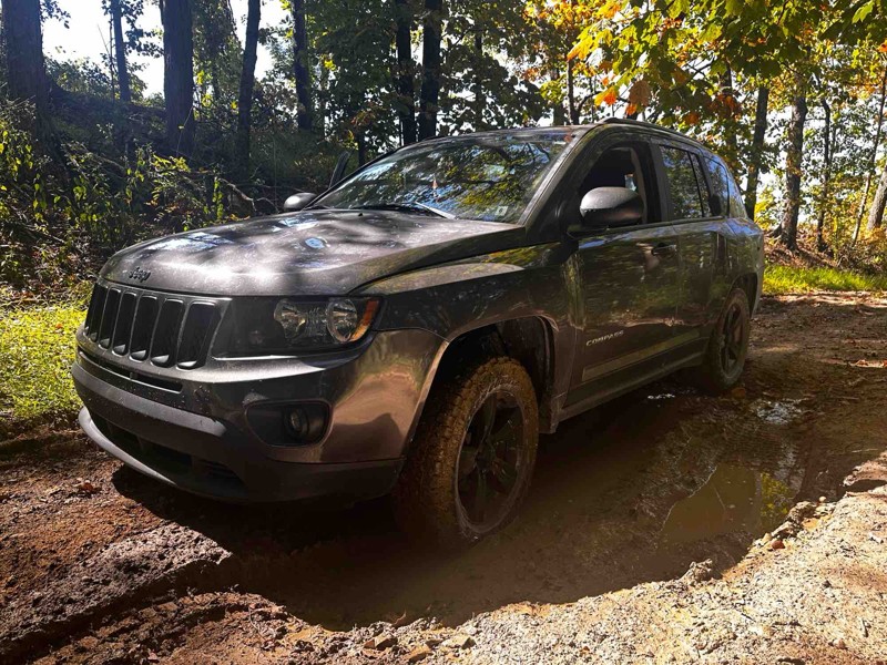
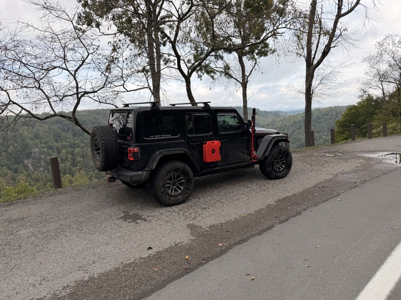
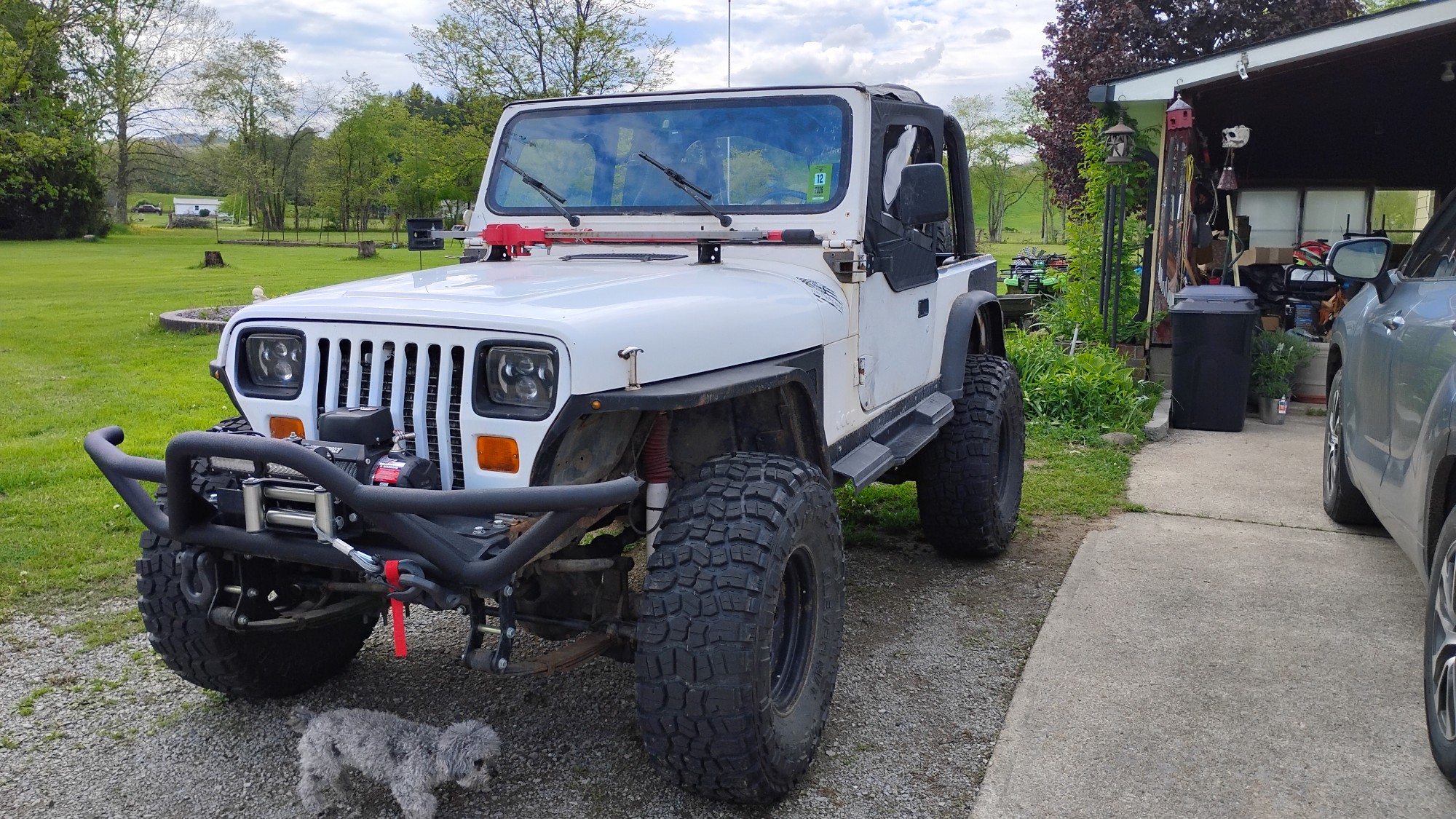
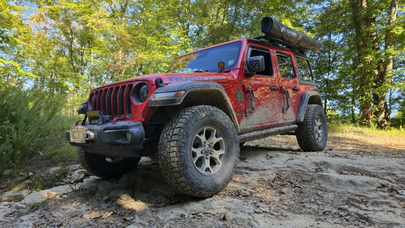
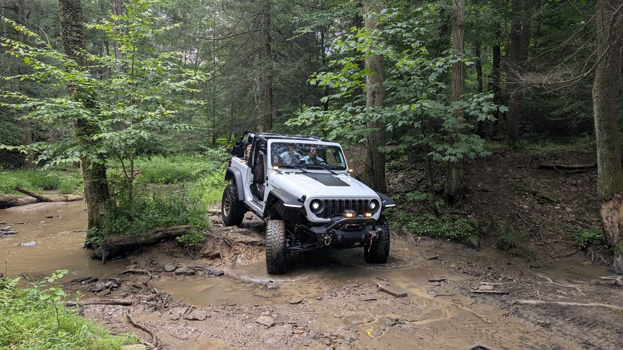
Trail is wet but fully passable, the Jeep pic shows the Jeep immediately after clearing the trail. No downed trees, washouts, or other blockages encountered. Water crossings are active, but nothing un...

Kenny Gall
No Rating
Open
Visited: 08/11/2026
Per the MVUM, the trail is seasonally open. As always, check current fire restrictions/closures before venturing out.

Trails Offroad
Official Crew
No Rating
Open
Visited: 08/06/2026
My wife bought me my first jeep for Christmas of 2025. This was our first trail we got to go on since we have had it. We had a blast in a stock 2025 Willys just took out time with it the trail looked ...
EL
Eddie L Dickens
Rated 5/5
Open
Visited: 08/02/2026
Great skill and confidence booster for stock Rubicon JL with self rescue gear
JM
James Means
Rated 5/5
Open
Visited: 07/14/2026
The new rating is spot on. I love running this trail in conjunction with Canyon Rim Road, makes for a good day of wheeling with beautiful sights and wildlife. Trail is OPEN as of now. State road is st...
Joseph Sandy
No Rating
Open
Visited: 03/20/2026
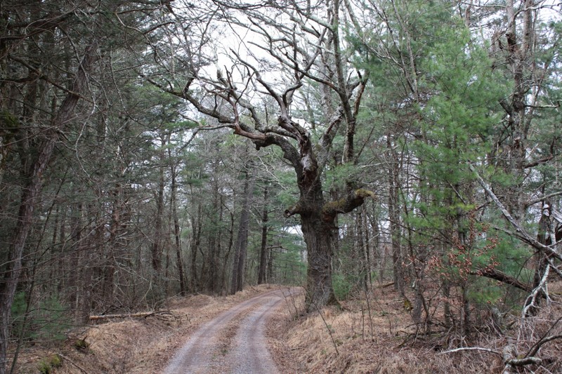
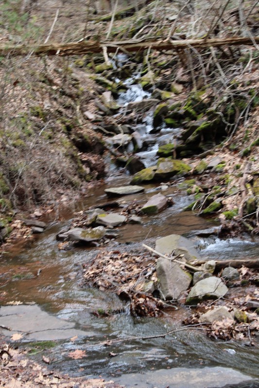
Mostly easy. Some snow still in spots but you can easily pass . Very scenic.
NJ
Neil Johnson
Rated 4/5
Open
Visited: 02/20/2026
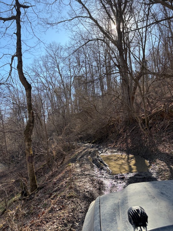
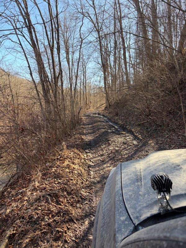
The first half of the trail was super well maintained and a lot of fun! Got to the bridge and turned around (in very poor shape). Apparently the gate no longer opens, so you have to turn around half w...
BS
Billy Smith
No Rating
Seasonal Closure
Visited: 02/15/2026
According to this trails management agency, the trail is likely closed for the season.
You can reach out to the agency for more details.
Be sure to leave us a report and let us know ...
Trails Offroad
Official Crew
No Rating
Temporary Closure
Visited: 11/19/2025
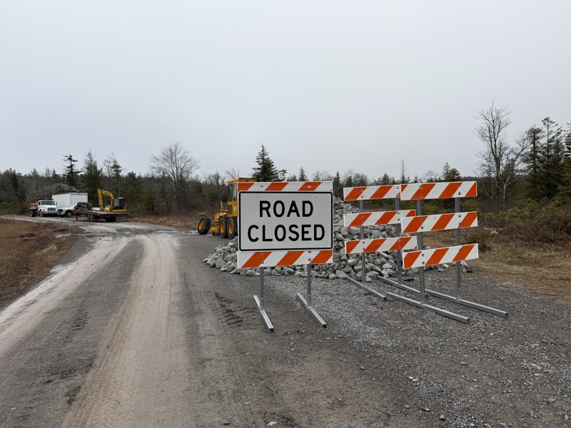
Missed the first sign at the entrance and came across a barrier and grading crew, stopped and spoke with them and they confirmed it is closed while they regrade and install fresh gravel. No ETA for co...
TT
Tripp Tapp
No Rating
Open
Visited: 11/16/2025
awesome trail. very new to offroading so this one made me a little nervous. my jeep is stock still. no lift on 33's. large ruts and a few deep mud holes but the jeep handled it like a champ. you'l...
WM
William Mitchell
No Rating
Open
Visited: 11/16/2025
so im very new to offroading. did not see a mudhole. got past the forst house that says to leave. right past it on the left is another little shanty. still on gravel. get to top of hill. can go ri...
WM
William Mitchell
Rated 5/5
Open
Visited: 11/06/2025
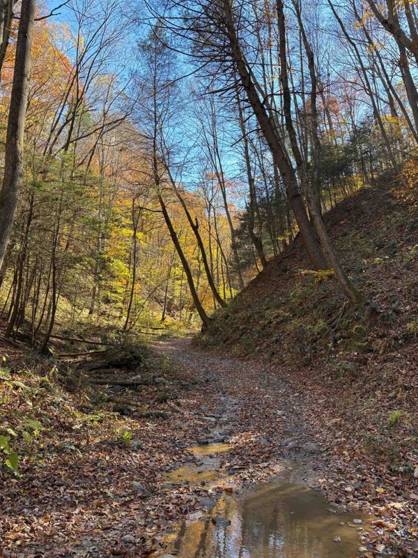
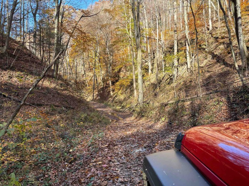
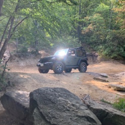
Took this down from the river overlook. Started off easy, but once you start going downhill in earnest, you gotta start paying more attention. It was easy today under dry conditions, but I could see i...
Chris Warner
Rated 5/5
Open
Visited: 11/06/2025
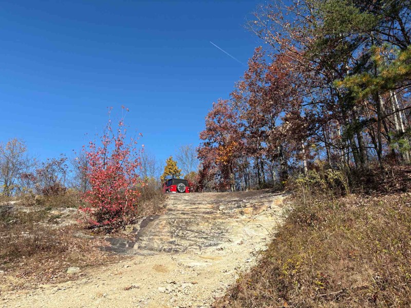
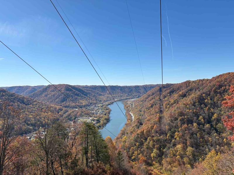
Fantastic trail! Had a great time. Most of it is pretty easy, but it gets a little more difficult towards the end at the overlook as already described. Went in my stock JLU, had no problems at all, ev...
Chris Warner
Rated 5/5
Open
Visited: 11/06/2025
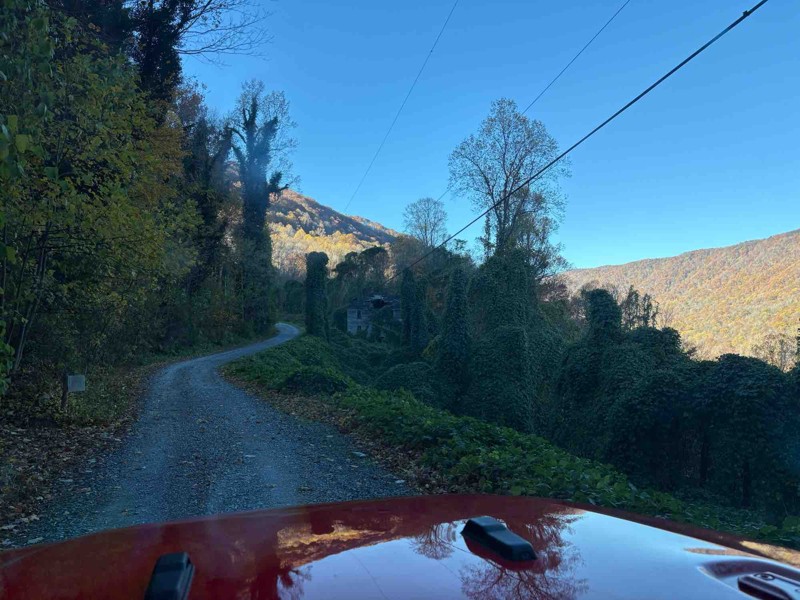
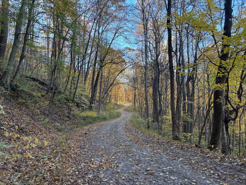
Biggest comment to make - the boulder is gone! Went to this trail expecting it, but they’ve obviously cleared it out (I think I took a pic of where it used to be). Otherwise, it was a nice, easy trail...
Chris Warner
No Rating
Open
Visited: 11/03/2025
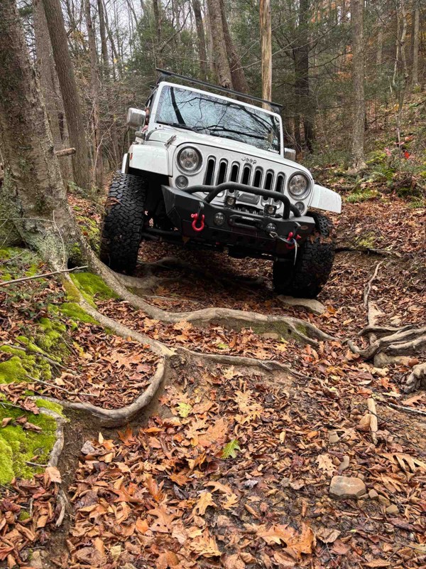
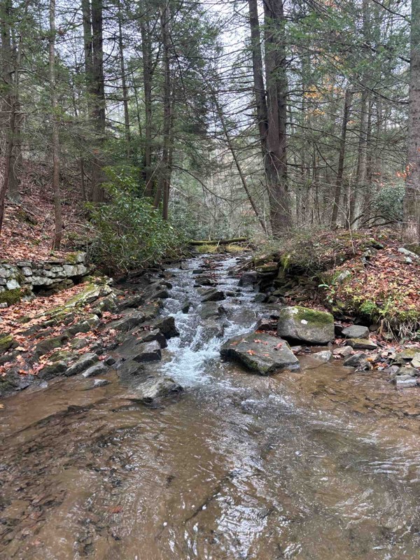
Amazing trail. A bit technical and rough, but overall a super fun trail. We had to remove a large tree from the trail, but no big deal.
JB
jason best
AE
Aaron E Lasure
Rated 4/5
Open
Visited: 09/11/2025
I ran this clockwise, coming in just south of Davis, WV. Most of the trail is just a gravel road with a handful of dispersed campsites. The difficult section is about 2/3 the way around if doing it th...
Peter Dougherty
Rated 5/5
Open
Visited: 09/11/2025
Very easy but enjoyable trail combo. The easy climbs necessary to get to it are even more fun. Not listed here is trail #29, which was more challenging than these two and definitely earning the blue r...
Peter Dougherty
Rated 4/5
Open
Visited: 09/11/2025
I ran this east to west, and as of September 2025 there is a second washout a bit further west, at 39.11227, -79.57259. Nothing extreme, but care is needed. The main washout further east isn't particu...
Peter Dougherty
No Rating
Open
Visited: 08/18/2025
Did the trail starting from Blackwater Falls State Park. Went about 4.7 miles at which point there is a turn around area and the trail turns into an easy graded dirt road. Reversed course at that poin...
MS
Marvin Smith
Rated 5/5
Open
Visited: 08/01/2025
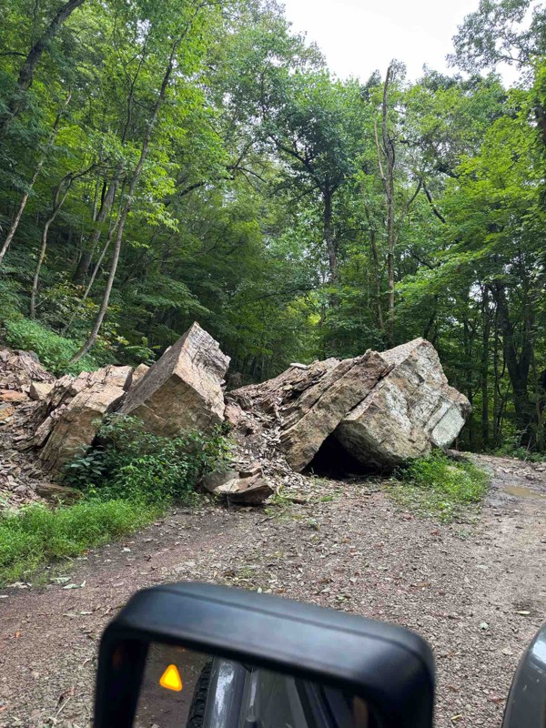
Fun, relaxing trail. It had recently rained so the ruts had standing water, but nothing that came close to requiring 4WD. The fallen boulder was easy to navigate around. The tree canopy, rock faces, a...
RS
Ryan Spitznagel
No Rating
Open
Visited: 06/28/2025
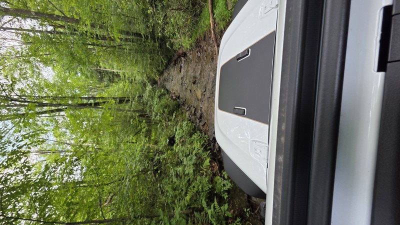
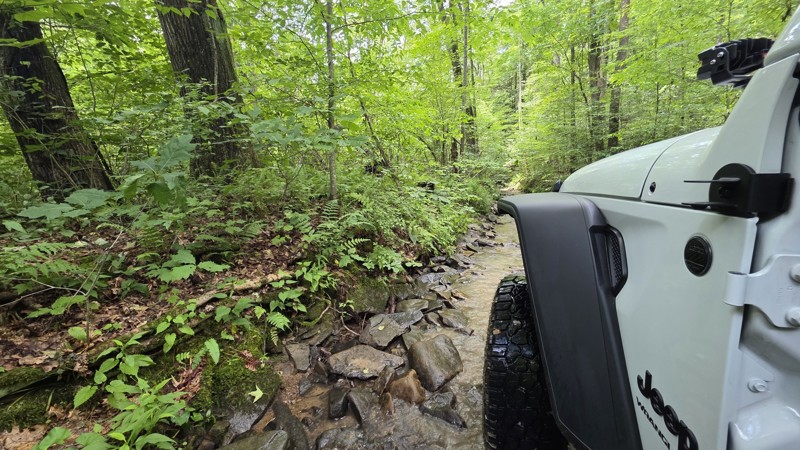
This is Peddler's Glory Rd (not Pedlar's Run). Beautiful trail. The description is accurate. Lots of rocky creekbed to crawl along. I had to use 3 of the bypasses due to large drops that I might have ...
Robert Barnett
Rated 4/5
Partially Open
Visited: 06/15/2025
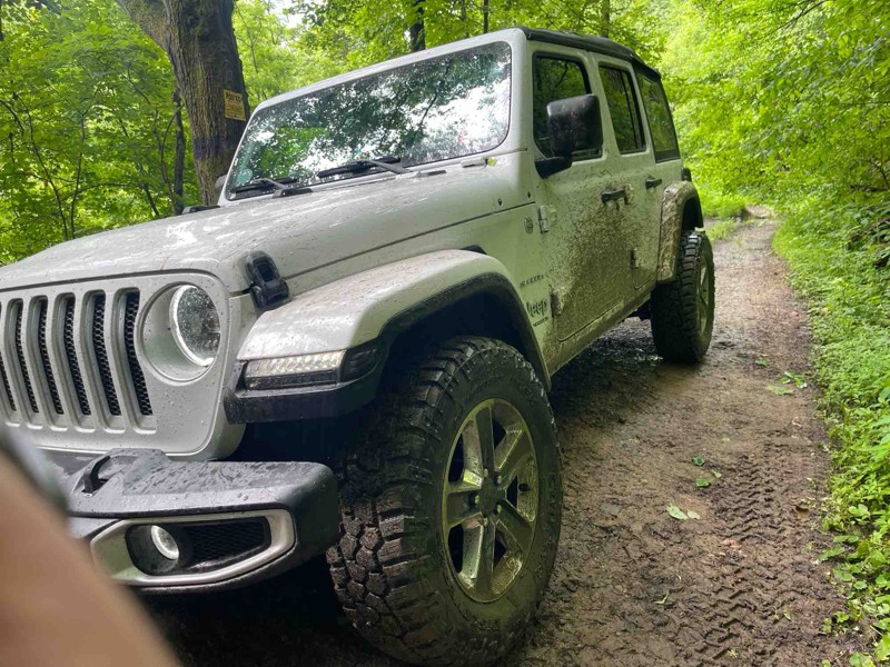
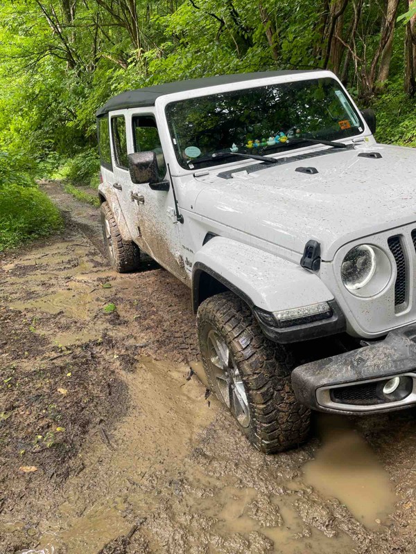
Part of the trail is closed which leaves the bridge as the only way across. I definitely wouldn’t try the bridge as the beams are rusted through and the slats are essentially rotted.
I did come at t...
SF
Spencer Flanagan
Rated 5/5
Open
Visited: 06/05/2025
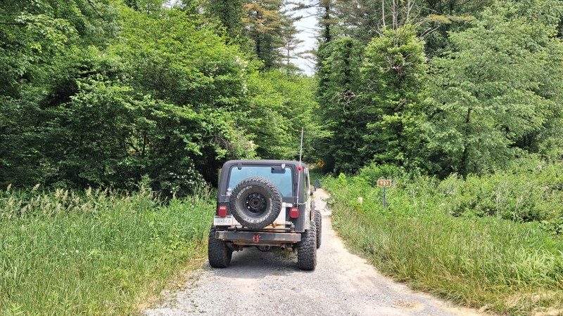
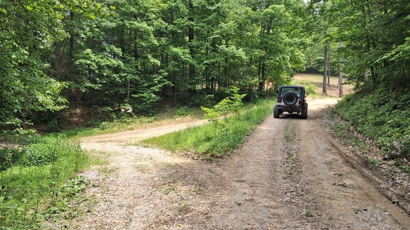
It is a short Trail. It does offer beautiful views of the landscape as well as local wildlife. It's a nice spot to take the kids for a little nature hike. And offers a few spots for picnics along th...
Joseph Sandy
No Rating
Open
Visited: 05/04/2025
No joke about the pinstriping, but the trail is super cool. Quite rocky in the second half. There was a lot rain this morning and the puddles were full and the streams were rushing. Stock Ranger Rapt...
PN
Paul Neureiter
Rated 4/5
Open
Visited: 04/21/2025
Very peaceful drive along the West Fork Greenbrier. Lots of fishing spots, but only a few of the campsites looked very desirable. I enjoyed it!
JJ
Justin J
Rated 3/5
Partially Open
Visited: 04/18/2025
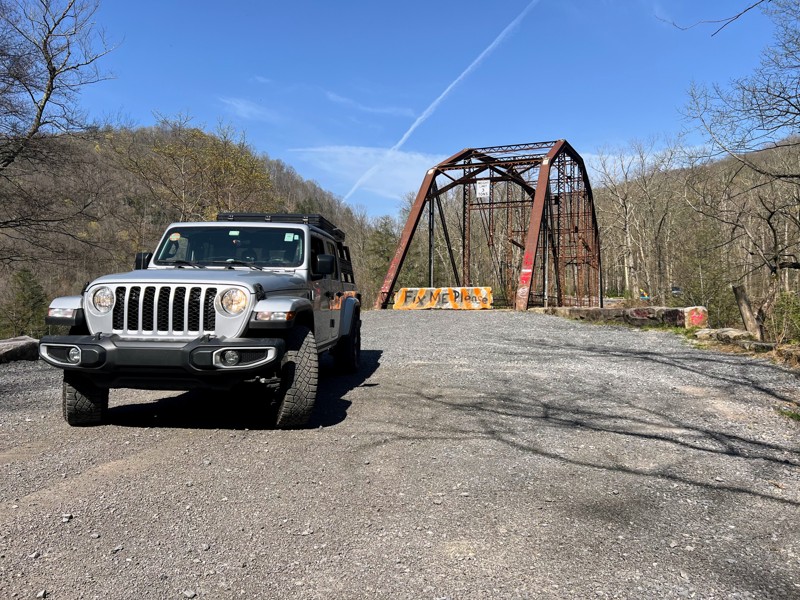
Trail is in good shape coming from the bull run side, but the scenic Bridge over the cheat river is permanently closed as of recent. Concrete barriers block off the bridge to vehicle traffic after its...
N
Nathan
Rated 2/5
Open
Visited: 04/17/2025
Family friendly gravel road with one rock stepper section. Stock vehicles can make the whole drive.

Andrew Spade
Rated 3/5
Partially Open
Visited: 04/17/2025
Not terrible. A lot of gates preventing any wheeling other than straight through. A nice smooth ride on a back road.
Andrew Spade
Rated 5/5
Open
Visited: 03/28/2025
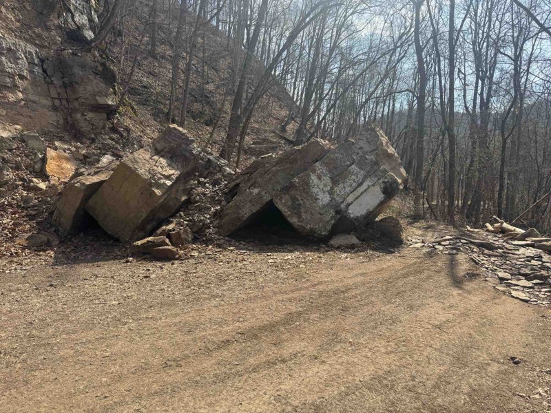
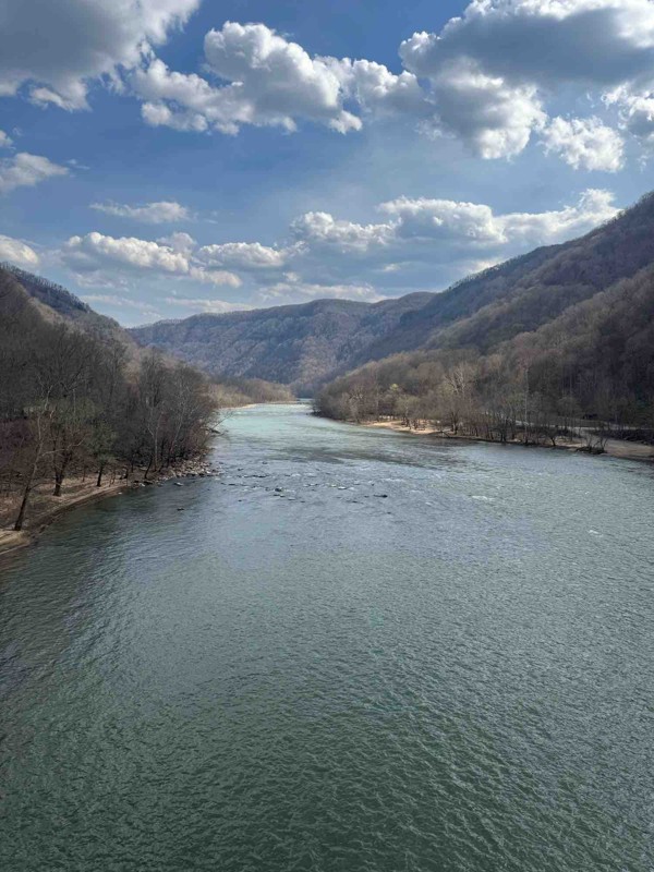
Easy trail fallen rocks in middle is only difficult part. Tree company was out there cutting back trees. Great trail to enjoy nature
Shark Bait Jeep
Rated 5/5
Open
Visited: 03/26/2025
Trail is a good 4. there's another wash out where they put a culvert in. Not real bad to maneuver around. I went through with ease on the whole trail. But it is rougher than it was before winter. Awes...
Joseph Sandy
Rated 5/5
Open
Visited: 03/08/2025
I agree with the rating. Right now the trail is ROUGH and freshly snow covered. There are some big holes and some pretty good washouts you have to be mindful of. I suspect the heavy rain last month in...

Ryan Boudreau
Official Crew
Rated 5/5
Open
Visited: 03/08/2025
Great scenic trail to connect with a whole series of other trails
Ryan Boudreau
Official Crew
Rated 5/5
Open
Visited: 03/08/2025
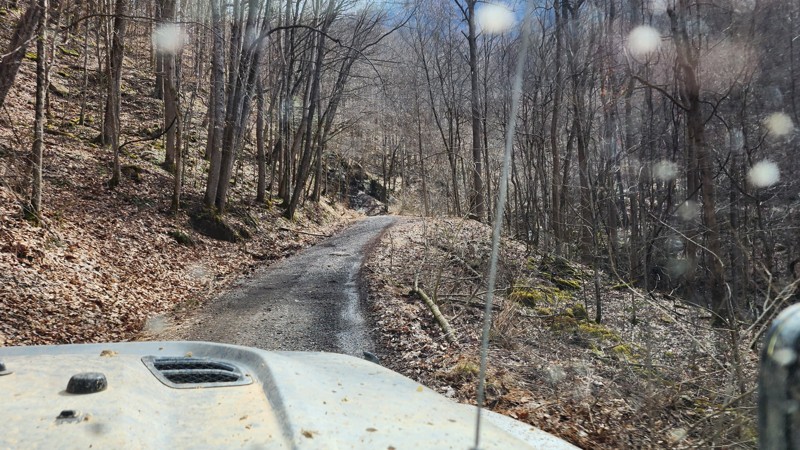
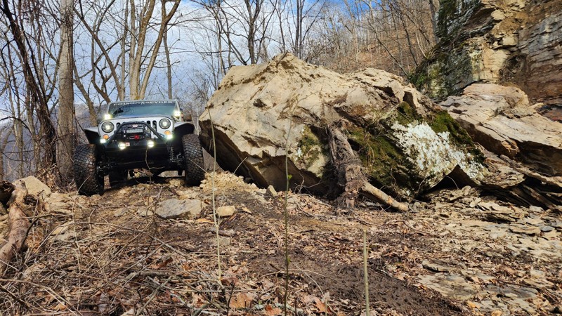
There is a brand new rock slide on the southern end of the trail which almost completely blocks the road. To get around, you are forced right up to the edge of the road. It's not hard, but could be sk...
Ryan Boudreau
Official Crew
Rated 3/5
Open
Visited: 03/08/2025
Fine road, nothing too special. Just a simple connector.
Ryan Boudreau
Official Crew
Rated 4/5
Open
Visited: 03/08/2025
Easy road. It is open with a little bit of snow currently on the ground. Should melt fast with Temps this week.
Ryan Boudreau
Official Crew
Rated 5/5
Open
Visited: 03/08/2025
This road is SO cool! Great scenic cruise along the creek with some cool rock walls to drive next to. it is a bit tight in so areas if you run into oncoming traffic.
Ryan Boudreau
Official Crew
Rated 5/5
Open
Visited: 03/08/2025
Cool scenic stretch of trail to stitch together with others.
Ryan Boudreau
Official Crew
Rated 5/5
Open
Visited: 03/08/2025
This trail is far harder than the 2 rating. And we were in a highly capable jeep on 40s. It is extremely rough with deep holes and rocks that most stock high clearance vehicles are going to have issue...
Ryan Boudreau
Official Crew
No Rating
Seasonal Closure
Visited: 02/15/2025
According to this trails management agency, the trail is likely closed for the season.
You can reach out to the agency for more details.
Be sure to leave us a report and let us know ...
Trails Offroad
Official Crew
Rated 1/5
Temporary Closure
Visited: 10/27/2024
Sadly, this trail didn´t last very long, We went east to west and quickly found it turned into a gravel road and a short distance later, it was posted ¨Road Closed.¨ It appears a logging company has...
Dan Wilson
Rated 4/5
Open
Visited: 10/26/2024
I did this east to west. The washed out section looks challenging but it really isn't. Its a fun trail though.
CS
Charles Saftner
Rated 5/5
Open
Visited: 10/26/2024
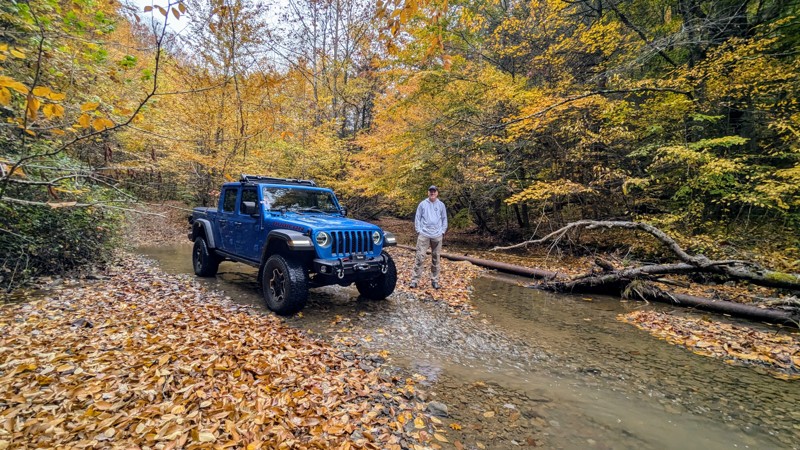
The trail was in excellent shape with gorgeous fall colors on full display. There wasn´t as much water as should be normal due to recent drought conditions, but there still were plenty of crossings t...
Dan Wilson
Rated 4/5
Open
Visited: 10/12/2024
I did this west to east, or CCW. Its a fun trail but a little tight in spots. The end, or eastern section, is just a gravel road so this is a lot shorter than it looks on the map.
CS
Charles Saftner
No Rating
Open
Visited: 09/21/2024
Did the trail for the second time this year. Started at the Blackwater Falls State Park drove the trail and then turned around and drove it again coming from the other end. Surprisingly for a Saturday...
MS
Marvin Smith
C
Colin
No Rating
Open
Visited: 08/18/2024
Trail is open. Notify the office if any tree clearing needs to take place. They are not great at patrolling all the trails for tree clearing.
Ryan Boudreau
Official Crew
Rated 5/5
Open
Visited: 08/17/2024
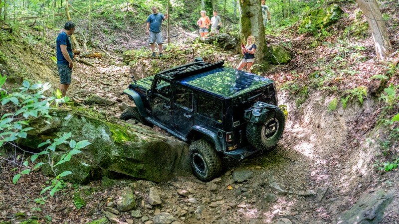
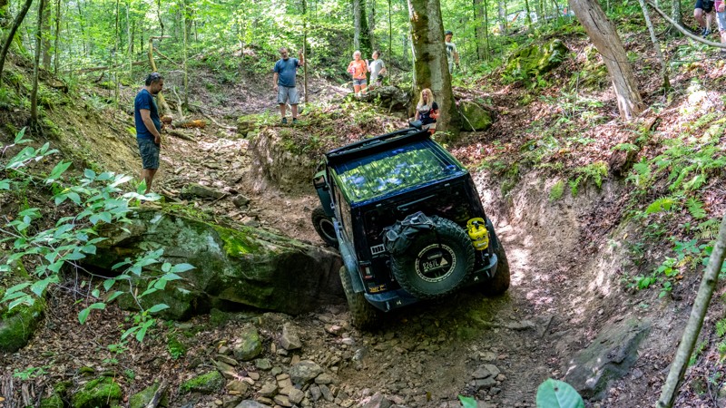
Trail was extremely rough on our group today. 7 rigs attempted it. First one on 40s made it through after some struggles. 2nd had a rear locker failure and couldn't make it past the first major obstac...
Ryan Boudreau
Official Crew
Rated 3/5
Open
Visited: 08/17/2024
Trail is in good condition. Very smooth, but yes steep in a few spots. It was dry and only needed 2wd. I don't doubt it would be more slippery if it was wet. But in regular conditions, easy.
Ryan Boudreau
Official Crew
Rated 3/5
Open
Visited: 08/17/2024
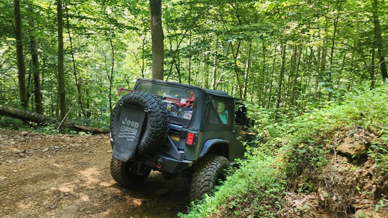
No different than the last time I was here. This trail is still an easy loop for any trail, but be aware that if you are in a group, there are not a lot of areas to pull out of the way for oncoming tr...
Ryan Boudreau
Official Crew
Most Popular


Updated: 10/15/2024
Cabwaylingo 13
Missouri Branch, West Virginia
Traveling below Martins Ridge and dropping down into Arkansas Branch, Cabwaylingo 13 is a hardpacked dirt road, one vehicle wide, with numerous shallow mud holes. One specific mud hole in a slight curve has extremely sticky mud and likely never drains. The trail makes its way through dense, tight foliage with a lot of pullout opportunities to pass oncoming traffic. Steep hills with a few small rocky sections make this trail suitable for any stock 4x4 vehicle with low gearing.
Cabwaylingo has two campgrounds and multiple cabins located on-site. In addition, many home rentals can be found nearby.
Hatfield-McCoy Trails are open 365 days a year, from sunup to sundown. Permits are required for all operators and passengers. Additionally, all drivers and passengers must wear a helmet on the trails. This includes full-size vehicles such as Jeeps.

Updated: 10/15/2024
Ivy Branch 67
Altman, West Virginia
Ivy Branch 67 is a quick connecting trail to the eastern side of the trail system. This is listed as a black trail per the park system's standards. The trail is generally 1-1.5 vehicles wide with a hardpacked, rocky trail surface. There are two steep hills reaching 24 degrees of pitch, but no obstacles along the trail. This trail is suitable for any high clearance vehicle with low gearing.
There is no camping onsite, but there are many cabin rentals nearby.
Hatfield-McCoy Trails are open 365 days a year, from sunup to sundown. Permits are required for all operators and passengers. Additionally, all drivers and passengers must wear a helmet on the trails. This includes full-size vehicles such as Jeeps.

Updated: 10/15/2024
Ivy Branch 95
Adams, West Virginia
If you are looking for an extreme yet doable trail in the Ivy Branch Trail System, be sure to visit trail 95. This double black trail is a wicked rock crawl up a narrow drainage next to huge rock slabs and large trees. Body damage and mechanical failure are high possibilities along this trail. This trail is best for highly modified vehicles with large tires, lockers, and body armor.
There is no camping onsite, but many cabin rentals nearby.
Hatfield-McCoy Trails are open 365 days a year, from sunup to sundown. Permits are required for all operators and passengers. Additionally, all drivers and passengers must wear a helmet on the trails. This includes full-size vehicles such as Jeeps.
Hatfield-McCoy Trails are open 365 days a year, from sunup to sundown. Permits are required for all operators and passengers. Additionally, all drivers and passengers must wear a helmet on the trails. This includes full-size vehicles such as Jeeps.

Updated: 10/15/2024
Bearwallow 27
Crooked Creek, West Virginia
Trail 27 is a relatively smooth dirt road with no obstacles. It is listed as a blue trail by the Park's measurement but is relatively easy. There are a few ups and downs, with the max pitch only 17 degrees. Suitable for any stock high-clearance SUV with low gearing.

Updated: 10/15/2024
Ivy Branch 38
Adams, West Virginia
Ivy Branch 38 can be traveled in either direction. The southern half of the trail traverses the ridgeline west of the Little Coal River and leads past the Sunset Overlook, with great views down to the river and Highway 119. The northern half of the trail has optional mud hole obstacles along the ridgeline near the gas wells before dropping down a steep, loose, and rocky descent on your way to Ivy Creek. This trail is suitable for any high clearance vehicle with low gearing.
There is no camping onsite, but there are many cabin rentals nearby.
Hatfield-McCoy Trails are open 365 days a year, from sunup to sundown. Permits are required for all operators and passengers. Additionally, all drivers and passengers must wear a helmet on the trails. This includes full-size vehicles such as Jeeps.

Updated: 10/15/2024
Ivy Branch 66
Adams, West Virginia
Ivy Branch 66 is a consistent climb between trails 13 and 46. From the moment the trail crosses Ivy Creek, it immediately climbs to the top of the ridgeline at a consistent 15-20 degree pitch, with parts as high as 27 degrees of pitch. Near the top of the ridge is a gas pad with several outlaw trails surrounding it. Remember to stay on legally marked trails per the trail system map, and do not travel outlaw trails you may see. 66 is narrow in places but has plenty of passing opportunities. The trail surface is hard-packed, rock and gravel with limited rutting and no off-camber sections. This trail is suitable for any high clearance vehicle with low gearing.
There is no camping onsite, but there are many cabin rentals nearby.
Hatfield-McCoy Trails are open 365 days a year, from sunup to sundown. Permits are required for all operators and passengers. Additionally, all drivers and passengers must wear a helmet on the trails. This includes full-size vehicles such as Jeeps.

Updated: 10/15/2024
Cabwaylingo 88
Wilsondale, West Virginia
Cabwaylingo 88 is a heart-pounding hill climb adventure from the first yard of the trail to the last yard of the trail. 88 is best run in the uphill direction, from north to south. After crossing Turkey Creek, this trail takes you up a 23-degree pitch where the steepness is only part of the challenge. Deep tire ruts on both sides of the trail will belly out any vehicle on stock tires and act as a guardian obstacle before encountering large, loose rocks scattered across the hillside. 2-foot and 3-foot rock ledges await farther up the trail before intersecting with trail 85. This trail is best suited for modified vehicles with larger tires. Traction aid devices would be beneficial in wet conditions.
Cabwaylingo has two campgrounds and multiple cabins located on-site. In addition, many home rentals can be found nearby.
Hatfield-McCoy Trails are open 365 days a year, from sunup to sundown. Permits are required for all operators and passengers. Additionally, all drivers and passengers must wear a helmet on the trails. This includes full-size vehicles such as Jeeps.

Updated: 10/15/2024
Cabwaylingo 54
Wilsondale, West Virginia
At nearly 4 miles long, Cabwaylingo 54 is one of the longer drives in this trail system. 54 allows drivers the chance to traverse tight switchbacks that might require a multi-point turn depending on the vehicle size. This trail works its way up and down ridgelines across small limestone rock chunks and offers the sweet sound of quiet tranquility as you traverse the southeastern edge of Cabwaylingo State Park. This trail is easy and would be suitable for any stock vehicle. However, the only way to access trail 54 is by first starting on trail 52 which requires a high clearance vehicle with low gearing.
Cabwaylingo has two campgrounds and multiple cabins located on-site. In addition, many home rentals can be found nearby.
Hatfield-McCoy Trails are open 365 days a year, from sunup to sundown. Permits are required for all operators and passengers. Additionally, all drivers and passengers must wear a helmet on the trails. This includes full-size vehicles such as Jeeps.

Updated: 10/15/2024
Sugar Camp
Hambleton, West Virginia
Sugar Camp connects Shavers Fork Road with the Fernow Experimental Forest. It is slightly more rugged than the surrounding roads, but only high clearance is required. It resides entirely under a tree canopy, and there is not much to see, and camping is not allowed.

Updated: 10/15/2024
Fork Mountain
Hambleton, West Virginia
At the end of this out-and-back road reads a sign: "This unassuming spot marks the birthplace of the Monongahela National Forest." The sign goes on to tell the story of how the US Government purchased this parcel of land, which was the cornerstone of the Monongahela National Forest, established on April 28th, 1920. Interestingly enough, as you drive the road, you will pass through an undisturbed tract of trees that was last clear-cut in 1905 and provides a stark contrast to the cutting that has taken place in later years. The road is suitable for any vehicle, and there is no camping.

Updated: 10/15/2024
Cabwaylingo 18
Wilsondale, West Virginia
Connecting Highway 41 and the southwestern corner of Cabwaylingo State Forest, trail 18 is an easy, straight-through trail with small exposed rocks and large water bars. Long-wheelbase vehicles should avoid this trail to keep from bottoming out on the water bars. This trail is extremely tight and only one-vehicle wide the entire length, making passing oncoming traffic difficult. This is a fairly scenic drive through an old-growth forest with extremely large trees. Unique rock formations with bright green moss line small sections of the trail and break off into deep reaches of the forest. A stock high clearance, short-wheelbase vehicle is recommended for this trail.
Cabwaylingo has two campgrounds and multiple cabins located on-site. In addition, many home rentals can be found nearby.
Hatfield-McCoy Trails are open 365 days a year, from sunup to sundown. Permits are required for all operators and passengers. Additionally, all drivers and passengers must wear a helmet on the trails. This includes full-size vehicles such as Jeeps.

Updated: 10/15/2024
Cabwaylingo 10
Missouri Branch, West Virginia
Cabwaylingo 10 is an easy trail that starts at the Tick Ridge Campground and leads to the historic Tick Ridge Fire Tower. Built in 1935 by the Civilian Conservation Corps, this 80-foot tower is now one of only a few remaining fire towers in West Virginia. You can no longer climb to the top of the tower, but the views from the ground are still stunning. The trail is one of the highest points in Cabwaylingo State Forest and offers excellent views of the surrounding hills and valleys. This is a great trail for any stock vehicle that wants to grab a seat at the picnic table and enjoy a delightful sunset next to a piece of West Virginia history.
Cabwaylingo has two campgrounds and multiple cabins located on-site. In addition, many home rentals can be found nearby.
Hatfield-McCoy Trails are open 365 days a year, from sunup to sundown. Permits are required for all operators and passengers. Additionally, all drivers and passengers must wear a helmet on the trails. This includes full-size vehicles such as Jeeps.

Updated: 06/15/2025
Goodwin Run
Parsons, West Virginia
Goodwin Run (FS 933) is a quiet, out-and-back forest road that gently winds through the heart of the Blackwater Wildlife Management Area. Open year-round and lightly traveled, this short gravel trail offers a peaceful alternative for visitors looking to access nearby hiking trails and picnic spots nestled deep within the West Virginia hardwood canopy. The route maintains a steady, gentle grade and sticks to lower elevations, making it a relaxed and enjoyable drive through a lush, shaded corridor.
The road is relatively flat and well-maintained throughout, with only a few narrower sections that might require some attention when passing other vehicles or turning around. Despite its seclusion, the trail remains accessible to any vehicle, with no technical driving required. There are no designated camping areas along this route, so it’s best suited for a quick scenic drive or a gateway into deeper outdoor recreation in the area. With its calm surroundings and easygoing terrain, Goodwin Run is an ideal route for first-time off-roaders or casual explorers who want a taste of forest solitude without venturing too far off the beaten path.

Updated: 10/15/2024
Bickle Knob Observation Tower
Bowden, West Virginia
The Bickle Knob Observation Tower is open during daylight hours and when the roads are snow-free. The road is a quick side trip from Stuarts Drive. Once at the end, it is a short walk to the tower, where one can take in panoramic views of the Monongahela National Forest. There is no camping on or off the road in this area.

Updated: 10/15/2024
Ivy Branch 15
Adams, West Virginia
Ivy Branch 15 is an easy and simple connector trail to the Little Coal River, below US 119, where water enthusiasts can fish and boat. The trail is good for any vehicle.
There is no camping onsite, but many cabin rentals nearby.
Hatfield-McCoy Trails are open 365 days a year, from sunup to sundown. Permits are required for all operators and passengers. Additionally, all drivers and passengers must wear a helmet on the trails. This includes full-size vehicles such as Jeeps.
Hatfield-McCoy Trails are open 365 days a year, from sunup to sundown. Permits are required for all operators and passengers. Additionally, all drivers and passengers must wear a helmet on the trails. This includes full-size vehicles such as Jeeps.

Updated: 10/15/2024
Cabwaylingo 50
Wilsondale, West Virginia
Part of the Hatfield-McCoy Trail System, Cabwaylingo 50 provides trail users a quick way to enter or exit the trail system to the south via Highway 41/1. The trail is two vehicles wide and has no obstacles. One steep switchback and two inclines result in 300 feet of elevation gain in less than a half mile. This is a great trail for any stock vehicle with low gearing.
Cabwaylingo has two campgrounds and multiple cabins located on-site. In addition, many home rentals can be found nearby.
Hatfield-McCoy Trails are open 365 days a year, from sunup to sundown. Permits are required for all operators and passengers. Additionally, all drivers and passengers must wear a helmet on the trails. This includes full-size vehicles such as Jeeps.

Updated: 10/15/2024
Cabwaylingo 79
Missouri Branch, West Virginia
Trail 79 is a fun, moderate shortcut along trail 11 that bypasses Tick Ridge. This trail is extremely short and only lasts a couple of minutes. This is listed as a black trail per the Park's measurement. The trail has one extremely steep but smooth hill climb along the route that reaches a 25-degree pitch. There are no obstacles and no rocks to contend with. In dry conditions, this is a great trail for any stock 4x4 vehicle. If the trail is wet, conditions become more challenging as the clay soil becomes very slippery, and traction becomes difficult on the hill.
Cabwaylingo has two campgrounds and multiple cabins located on-site. In addition, many home rentals can be found nearby.
Hatfield-McCoy Trails are open 365 days a year, from sunup to sundown. Permits are required for all operators and passengers. Additionally, all drivers and passengers must wear a helmet on the trails. This includes full-size vehicles such as Jeeps.

Updated: 10/15/2024
Cabwaylingo 22
Wilsondale, West Virginia
Cabwaylingo 22 is the most unique trail within the Cabwaylingo State Forest. This trail might be an easy, wide, graded dirt road with an occasional muddy pothole, but droves of people drive this trail to see the overhanging rock feature located near the eastern tip of trail 61. The unique rock feature is a great place to stop, explore, and enjoy lunch. This trail is suitable for any stock SUV or pickup truck.
Cabwaylingo has two campgrounds and multiple cabins located on-site. In addition, many home rentals can be found nearby.
Hatfield-McCoy Trails are open 365 days a year, from sunup to sundown. Permits are required for all operators and passengers. Additionally, all drivers and passengers must wear a helmet on the trails. This includes full-size vehicles such as Jeeps.

Updated: 10/15/2024
Cabwaylingo 20
Wilsondale, West Virginia
Cutting between trails 18 and 25, Cabwaylingo 20 is an easy and casual drive through the thick foliage. The road surface is hard-packed and slightly bumpy due to sections of exposed rocks. This trail passes several horse trails, and motorized users should be cautious not to end up on a horse trail. All intersecting trails to the north are horse trails only. Be sure to yield to any equestrian riders you come across. This trail is suitable for any stock SUV or pickup truck. However, low-hanging trees could present problems for extremely tall vehicles such as vans.
Cabwaylingo has two campgrounds and multiple cabins located on-site. In addition, many home rentals can be found nearby.
Hatfield-McCoy Trails are open 365 days a year, from sunup to sundown. Permits are required for all operators and passengers. Additionally, all drivers and passengers must wear a helmet on the trails. This includes full-size vehicles such as Jeeps.

Updated: 10/15/2024
Ivy Branch 12
Altman, West Virginia
Ivy Branch 12 is an easy road that travels the western edge of the trail system along a tall ridgeline. It is bumpy in parts with a few steep inclines where you will reach 18 degrees of pitch. The road is wide enough for two vehicles the entire way and has a hard-packed, graded surface. The trail's southern end intersects with the paved Ivy Creek Road, which can be taken as an alternative way back to Highway 3, only 0.75 miles west of the main Ivy Branch Trailhead. The trail is good for any vehicle.
There is no camping onsite, but there are many cabin rentals nearby.
Hatfield-McCoy Trails are open 365 days a year, from sunup to sundown. Permits are required for all operators and passengers. Additionally, all drivers and passengers must wear a helmet on the trails. This includes full-size vehicles such as Jeeps.
Hatfield-McCoy Trails are open 365 days a year, from sunup to sundown. Permits are required for all operators and passengers. Additionally, all drivers and passengers must wear a helmet on the trails. This includes full-size vehicles such as Jeeps.

Updated: 08/11/2026
Smoke Camp
Thornwood, West Virginia
Smoke Camp leaves Allegheny and quickly climbs to the top of Fork Mountain. At the top, there is room for six vehicles to park and enjoy the picnic table and amazing views of the surrounding mountains. As you drive up, there will be areas with zero passing, so watch for oncoming traffic. There is no camping along the way.

Updated: 10/15/2024
Ivy Branch 37
Adams, West Virginia
Ivy Branch 37 is an easy connector trail between trails 35 and 39, mainly used to access extreme trail 97. 37 takes you through a mossy green landscape from Ivy Creek to the Little Coal River, traversing a hard-packed surface with occasional protruding rocks and a few shallow mud holes. The trail is generally 1-1.5 vehicles wide, with plenty of areas to pass oncoming traffic. This trail is suitable for any vehicle.
There is no camping onsite, but there are many cabin rentals nearby.
Hatfield-McCoy Trails are open 365 days a year, from sunup to sundown. Permits are required for all operators and passengers. Additionally, all drivers and passengers must wear a helmet on the trails. This includes full-size vehicles such as Jeeps.

Updated: 10/15/2024
Shenandoah Mountain Road
Palo Alto, West Virginia
Shenandoah Mountain Road, also known as County Road 32, is a simple gravel road traveling across the West Virginia and Virginia State Line, connecting Stoney Run, Reddish Knob, and North River together. There is no camping along this road, but if you continue south onto North River, you will find some of the best camping in the area. This road is suitable for any vehicle.

Updated: 10/19/2025
Cranberry Dyer
Dyer, West Virginia
Cranberry Dyer is a dusty gravel road that leads up and over Bishop Knob to Cranberry. It is an important stretch of road as it connects the paved Williams River Road with all its campsites to Cranberry, allowing for a more extended overland-style trip. At the high point is the Biship Knob Campground, with improved sites and vault toilets. The road is suitable for any vehicle.

Upgrade your Membership
Unlock all of the details on every Trail Guide and Scout Route.
Start a 7-day Free TrialBrowse Trails in West Virginia by City
Browse every West Virginia city with offroad trail guides.
Community
Partners

