Region

The Uinta Mountains

Utah

Offroad Trails in The Uinta Mountains

A Region within Utah
3.9/5 (140)

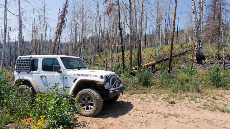
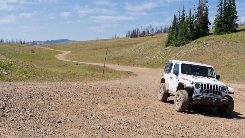
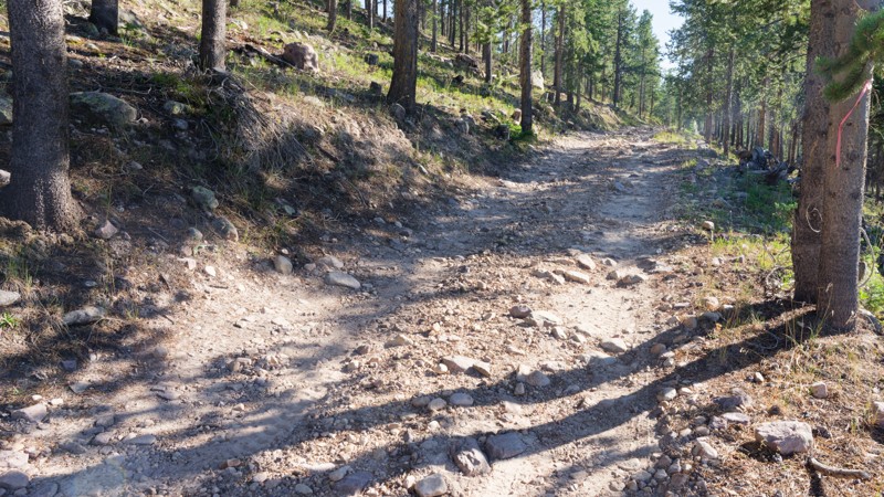
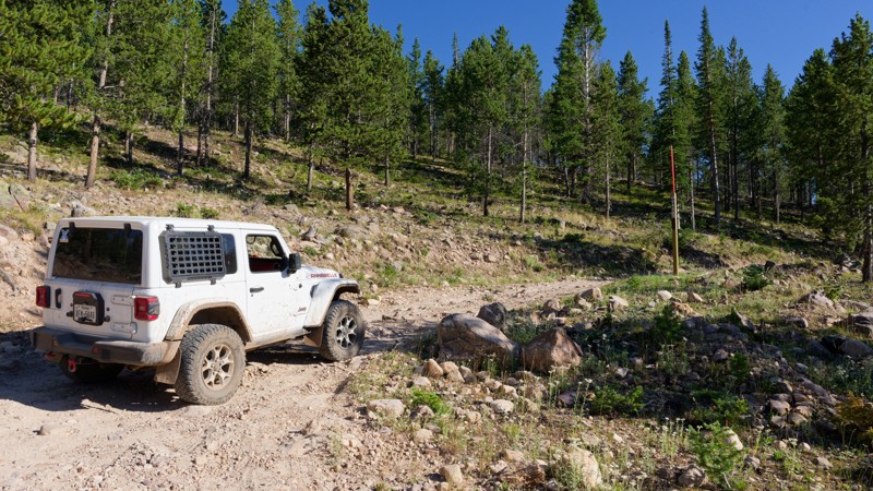
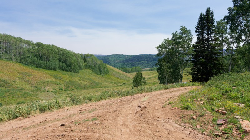
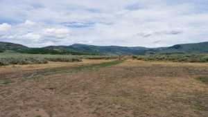
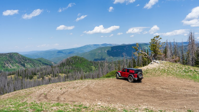
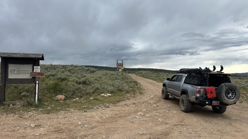
Tucked up in the Northeast corner of Utah is a mountain range that reaches breathtaking heights. The Uinta Mountains aren’t just a picturesque snow-covered range that can be viewed from afar. This mountain range is scattered with offroad trails, making it accessible to all.

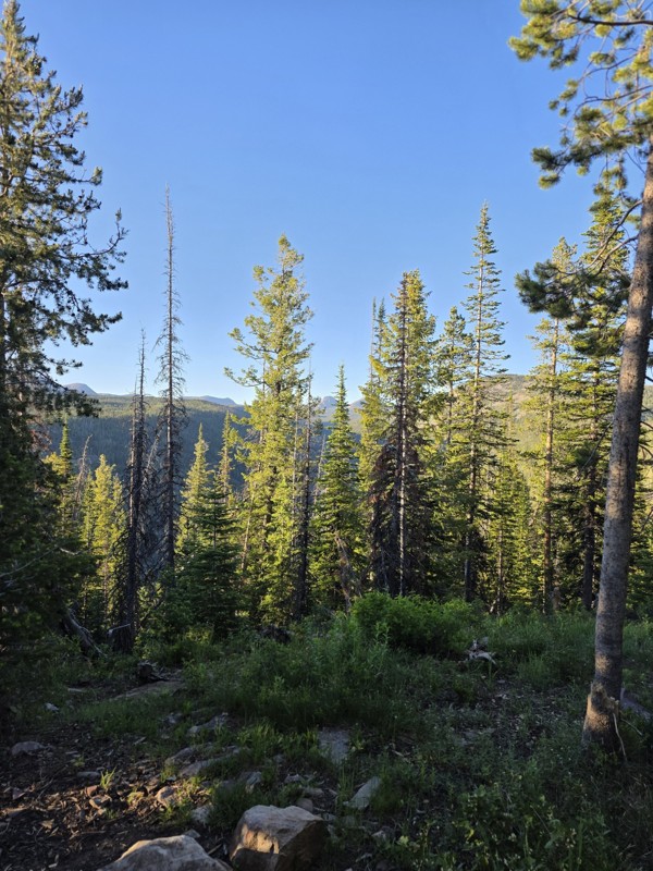
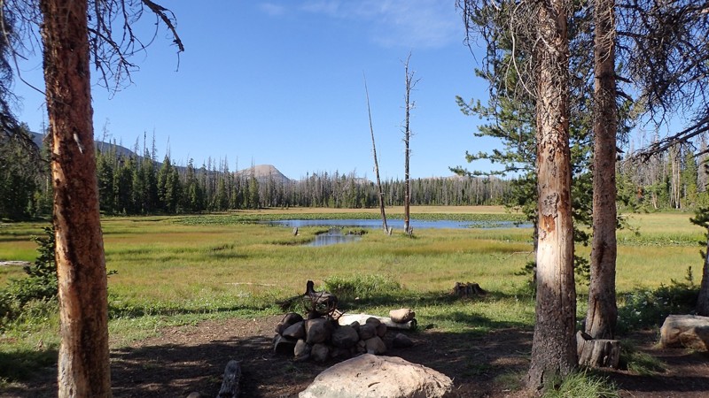
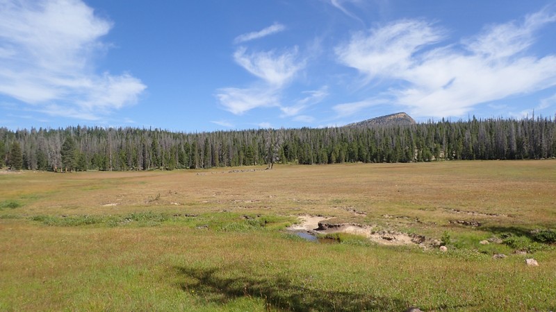
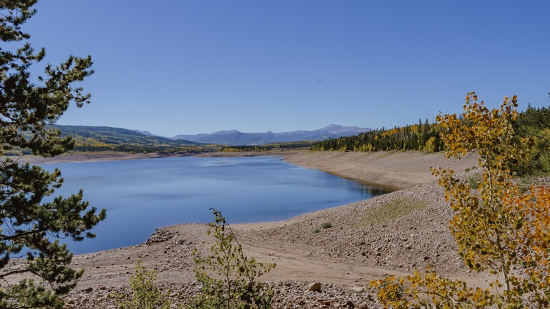
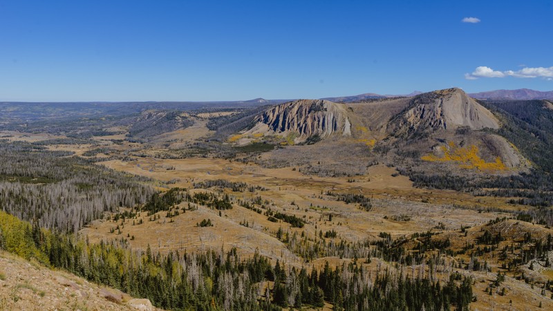
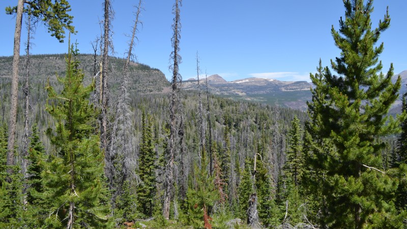
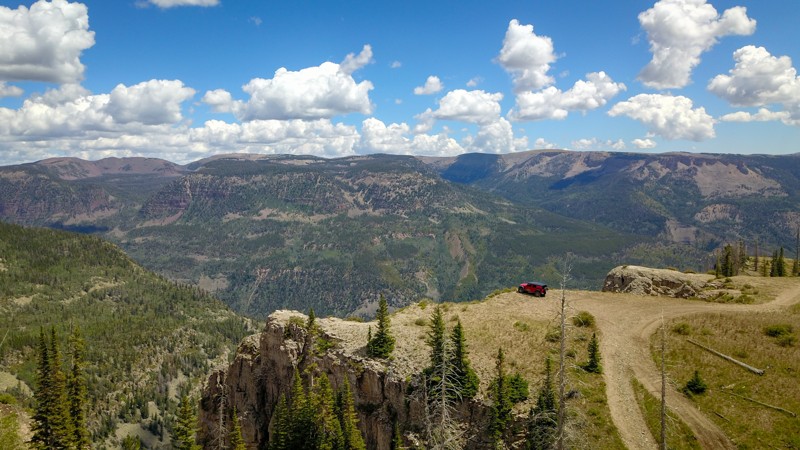
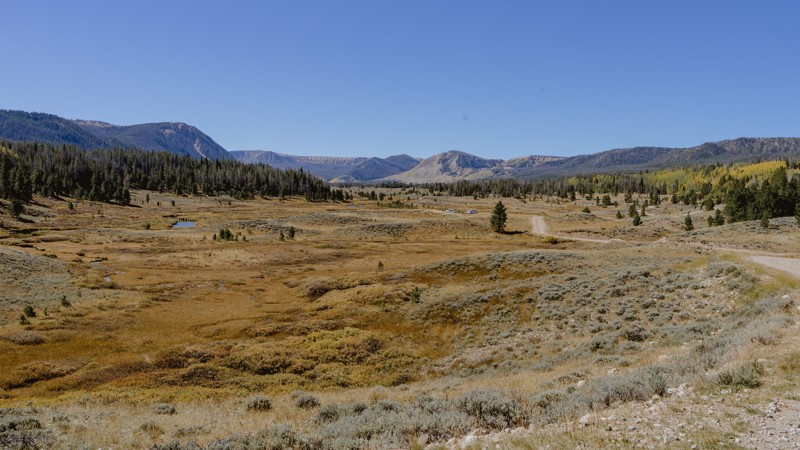
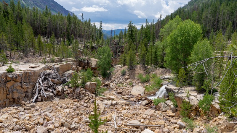
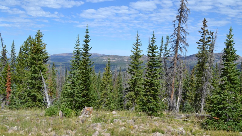
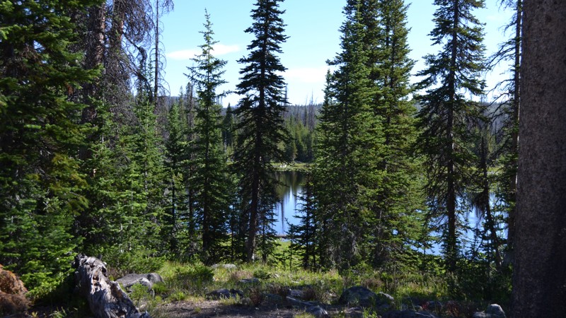
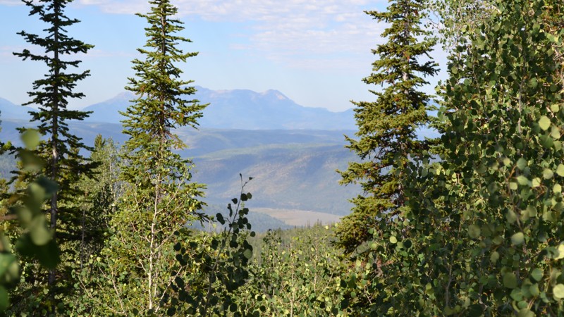
The region is home to peaks ranging from 11,000 feet all the way up to 13,500 feet above sea level, making it the highest mountain range in all of Utah. The Uinta Mountains are lush with alpine forests including pine, spruce, cottonwood and maple trees. The forests are contrasted by beautiful fields of mountain flowers such as lupine, poppy and primrose. Feeding all the plant life are boundless lakes and streams waiting to be fished or kayaked.

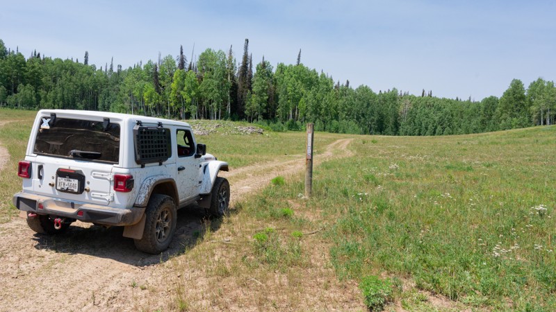
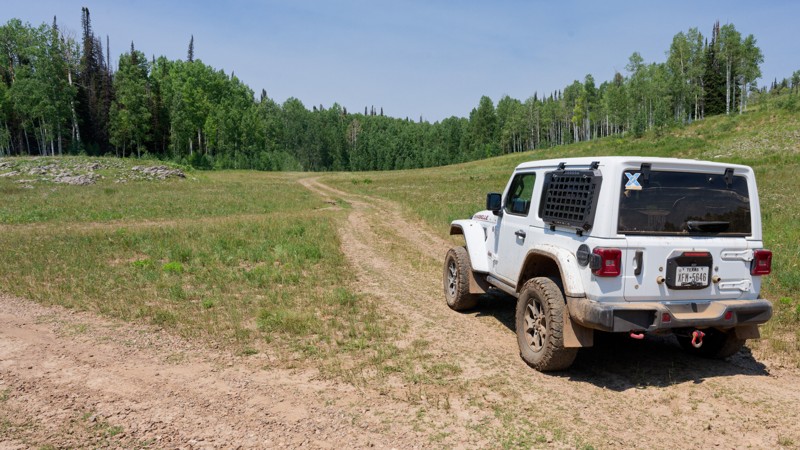
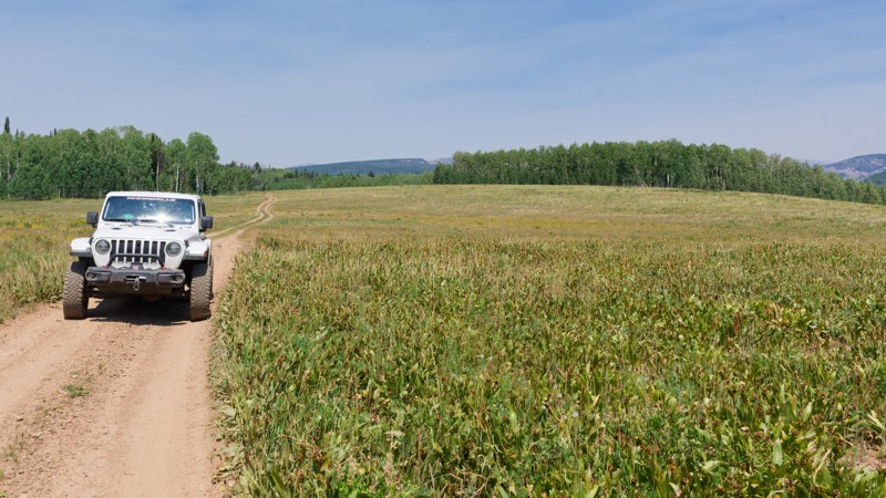
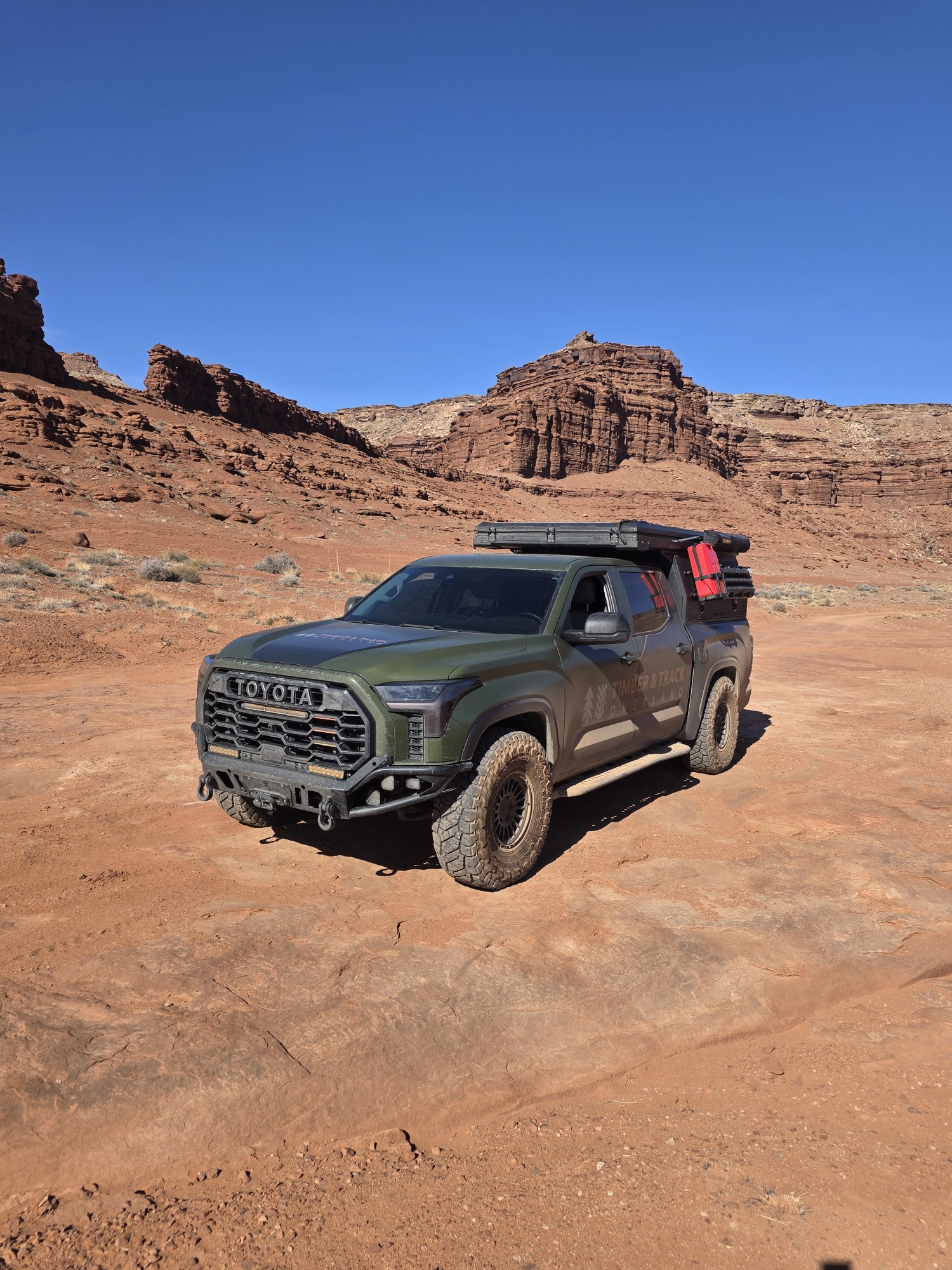
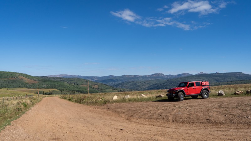
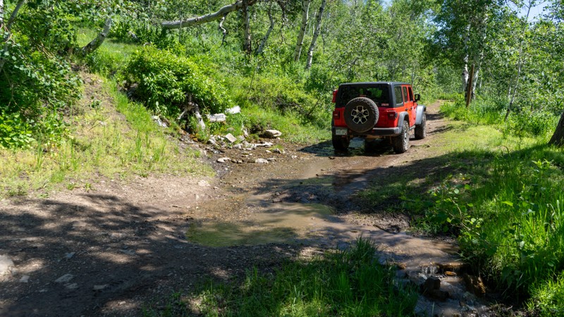
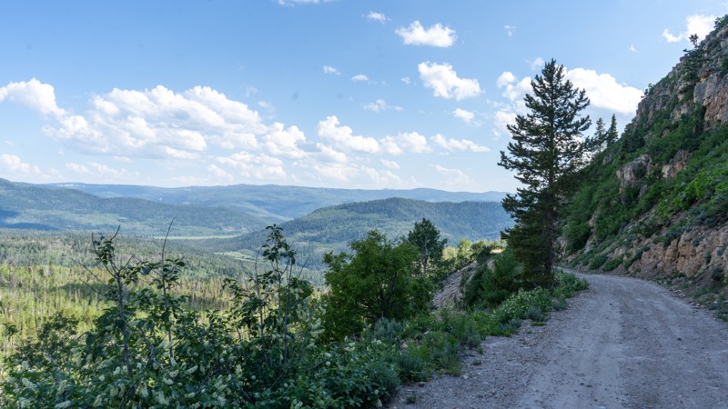
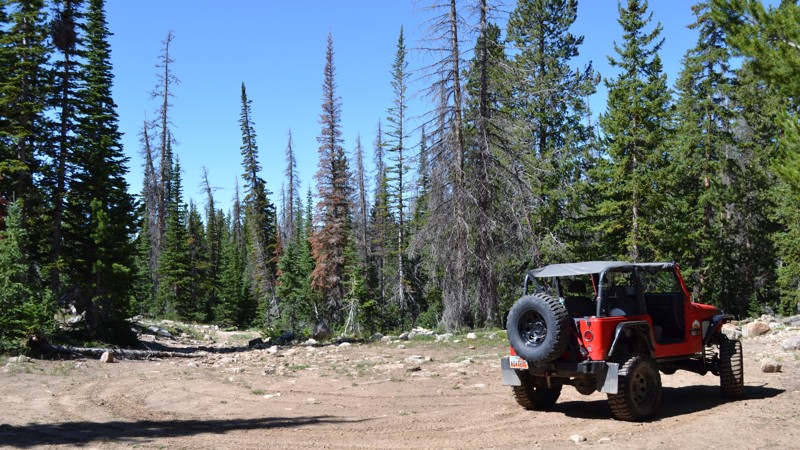
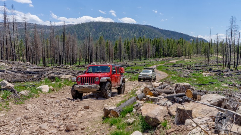
Nature this pristine sounds too good to be true. But with a vast offroad trail system consisting of easy to moderate trails, the Uinta Mountains are accessible to almost any high-clearance 4wd vehicle. The trail system can make for a great weekend getaway or can be strung together to create a full week of adventure and exploration.

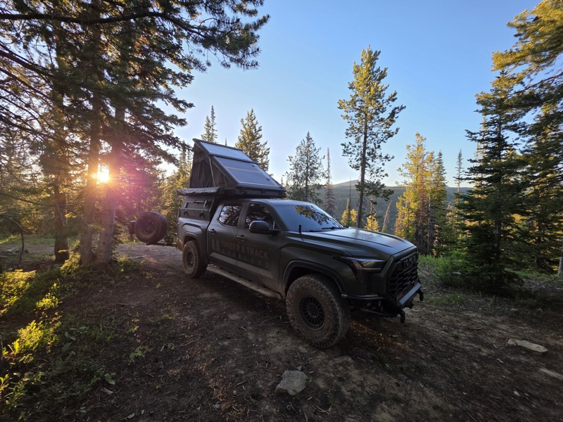
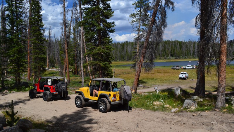
The Uinta Mountains are known for their incredible dispersed camping options. Find your own epic campsite in the middle of a dense pine forest, next to a flowing creek, or overlooking a serene alpine lake. For those who prefer a few amenities to make their off-the-grid weekend more comfortable, there are also improved campgrounds. These typically have room for trailers and include potable water, fire rings, picnic tables, and bathrooms.

Top Reasons to Explore Here

Basemap Styles

Content Type
Guide Types
Scout Route
Full Trail Guide

Difficulty Rating
easy
moderate
difficult
severe
extreme

Waypoints
Camping
Staging Area
Bathroom
Obstacle
Point of Interest
Directional

Most Recent Trail Reviews

Most Popular

Search for Trails
Utah: Norway Flat Hero Photo
All-Access Icon
4.1/5 (20 reviews)
Updated: 07/04/2024

Norway Flat

Kamas, Utah

A gem of the beehive state, the Uinta-Wasatch-Cache National Forest is home to thousands of miles of forest roads and endless camping, fishing, and many other recreational activities. The Norway Flats area, just 10 miles from town, is an excellent intro to the vast wilderness of these mountains. Norway Flat is an easy trail leading you to numerous great camping spots and small lakes where you could take the kayak out and enjoy the peace and quiet. Because there are no developed campsites along this trail directly, and the small size of the lakes, this trail doesn't see as much action as others in the area, making it a great trail to escape the crowds and enjoy the cool mountain air.

Utah: Iron Mine Lake Hero Photo
All-Access Icon
4/5 (15 reviews)
Updated: 06/22/2024

Iron Mine Lake

Kamas, Utah
Just over an hour away from Salt Lake City lies a playground. This playground offers over 2.1 million acres with any outdoor sporting activity you can imagine. The Uinta-Wasatch-Cache National Forest is quite the wonderland. This particular region lies just outside of Kamas, Utah, and is open to all kinds of recreation from backpacking to fishing, to just about anything with a motor. Not far from the mouth of the canyon is the Soapstone Basin. This region runs right along the Lower Provo River and provides access to many streams, lakes, trails, and camping opportunities. Iron Mine Lake trail is one that provides it all. Be sure to bring a fishing pole if you plan on stopping at the lake, and your hiking boots if you enjoy a nice walk. Iron Mine Mountain is the second highest peak in this region of the Uintas!
Utah: Murdock Basin Road Hero Photo
All-Access Icon
3.6/5 (17 reviews)
Updated: 07/13/2024

Murdock Basin Road

Kamas, Utah
The Uinta Mountains in northeastern Utah are home to over one thousand lakes, hundreds of miles of streams, and endless camping opportunities. This gem of an area lies just over an hour from Salt Lake and has services nearby to supply your adventure whether it is just a day or extended out for a week. While only accessible for a few months out of the year, there is more than enough land for everyone to spread out and enjoy. Even on the busy weekends, you can find yourself some peace and quiet. If you have never visited the Uinta Mountains, be sure to add it to your bucket list and get out on one of the hundreds of forest roads webbing throughout the land.
Utah: South Fork Canyon Hero Photo
Scout Route Icon
4.5/5 (6 reviews)
Updated: 08/11/2026

South Fork Canyon

Oakley, Utah
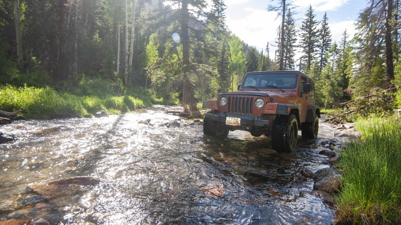
A ride up South Fork Canyon is a rugged backcountry experience just a few miles east of Oakley. You'll be crawling in 4-wheel low through a river, up steep rocky slopes, through a rock quarry, and amidst narrow forest roads. The trail follows a canyon up into the mountains near the headwaters of the South Fork of the Weber River. Head up there in late June or early July, and the river will be running fast. This trail will test your skills, providing adventure at every turn. The trail begins off Weber Canyon Road about five miles east of Oakley. The first two miles are a public road through private residences. Please respect the private property with no stopping along this stretch. After crossing the creek about a mile in, follow the signs to the left for South Fork Canyon. The entrance to national forest property is not marked, but you'll know once you leave private property, going through a dense grove of trees and on into the river bed. You'll want to be 4WD-low the entire route once you're into the national forest. Watch for ATV traffic since the trail is narrow. You'll actually be running in the river in the spring and early summer. Be cautious on uphills as the rocks require good tire placement. Nearing the end, you'll break out of the forest into a massive rock quarry. The trail eventually ends at a heavily-eroded section of the South Fork. You'll find an old mine if you hike up another mile via South Fork to Maxwell's Creek. Inside are names inscribed on the walls with dates back to 1930. There is a geocache hidden nearby called Rowe Mine Cache, which will get you the approximate coordinates of the mine. South Fork Canyon is a dangerous trail in the spring with river flow. It is closed from May 1-June 15. It's best accessed from late June up through mid-October. Most of the trail is located in the Uinta-Wasatch-Cache National Forest, with dispersed camping permitted. There are several sites lower down, not far from the river crossing. As pictured, there are also possible sites along the trail and at its terminus.
Utah: Spring Canyon/Trial Lake Hero Photo
All-Access Icon
3.8/5 (12 reviews)
Updated: 06/15/2024

Spring Canyon/Trial Lake

Kamas, Utah
Tucked away in the Uinta Mountains in northeastern Utah, lies this treasure of a trail. Well known by locals, Spring Canyon/Trial Lake provides access to numerous adventurous​ activities that can keep you busy for days. Although a non-technical trail, you will sure to be excited as you wind your way past plenty of spur roads that take you deeper and deeper into the forest. If water sports are up your alley, there are quite a few lakes in the area that provide calm, cool waters for kayaking, paddleboarding, and great fishing. If you are up here for camping, this is also the trail to start on, as there are hundreds of spots in the area providing everything from large group sites to pure seclusion. Whether you are looking for a few hours of fun or a week-long adventure, this is the area to be!
Utah: Blue Lake Loop Hero Photo
All-Access Icon
3.7/5 (13 reviews)
Updated: 07/17/2026

Blue Lake Loop

Kamas, Utah

Blue Lake Loop is nestled high in the Uinta Mountains, just a few miles off of popular Mirror Lake Highway. When looking for somewhere not too far from civilization, but off the beaten path, this one makes the list. This moderate off-road trail will lead you to nearby Blue Lake and neighboring Buckeye Lake. Both are popular fishing destinations for catching perch, brown trout, and rainbow trout. In addition to some great destinations for water recreation, there is a plentiful selection of peaceful campsites to choose from for both small and large groups.

Utah: Lambert Meadows Hero Photo
All-Access Icon
4.5/5 (12 reviews)
Updated: 06/15/2024

Lambert Meadows

Kamas, Utah
Among the Trial Lake area of the Uinta Mountains, Lambert Meadow is a great place to explore for the day if you are looking to escape the crowds. Winding your way through the forest, you may encounter many forms of wildlife, as this area is lush with vegetation and water sources. Camping is prime in this area as well, with many spots already set up away from the crowds. Although there are no useful lakes in this immediate area, the views you get are well worth the trade. Be sure to explore the area whether it's for the day or a nice long weekend getaway. You won't be disappointed.
Utah: Mill Creek Road Hero Photo
Scout Route Icon
5/5 (7 reviews)
Updated: 08/11/2026

Mill Creek Road

Altamont, Utah
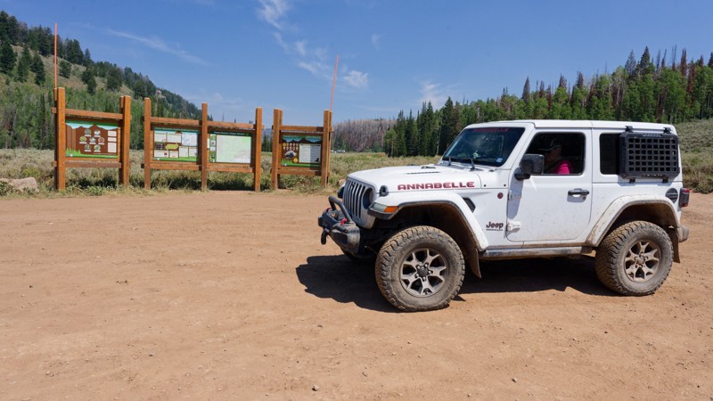
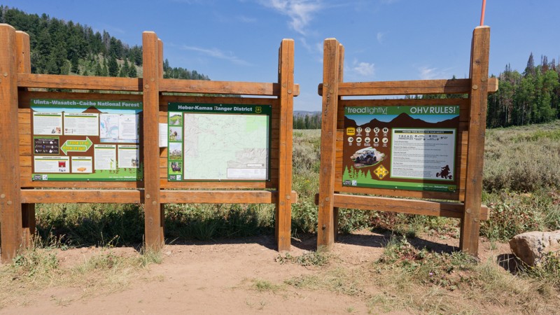
Mill Creek Road provides access to the northern Uinta Wasatch-Cache National Forest heading east before heading directly north and crossing the Wyoming border to drop you off at Meeks Cabin Reservoir. This is a beautiful drive to see the changing aspen during the Fall. The various spurs leading off Mill Creek provide access to dispersed camping and OHV trails. Be prepared to share the road and the camping! This area is popular for ATV/UTV, trailer camping, and hunting. To secure camping be sure to get out there early or look for sites down some of the spurs where people are less likely to take a large trailer. Stop by the National Forest kiosks and purchase your recreation pass. A 3-Day pass is only $6 and helps support the management agency's work in the Uinta Wasatch-Cache National Forest. Check for seasonal closures! This area is accessed via the Mirror Highway, which is gated in the winter due to high snow accumulation. The state does not plow north of Soapstone Basin on the highway to nearly Wyoming.
Utah: Table Top Hero Photo
Scout Route Icon
4.3/5 (3 reviews)
Updated: 08/11/2025

Table Top

Altamont, Utah
Prepare yourself for the views from the top! Table Top takes you south off of Mill Creek Road and runs along a breathtaking ridge with multiple breaks in the trees to take in the view. Coming down off the 10,614 feet summit, you'll have a spur to check out Lym Lake before heading down and connecting to FR061, which you can take north to connect back to Mill Creek Road. This route gets tight, so full-sized trucks are not recommended. Don't be surprised to run into other OHVs on the trail, so keep your ears and eyes open. Dispersed campsites are sprinkled throughout though most are small, not group sites. This area has a propensity for heavy rain, and substantial mud puddles are likely. Stop by the National Forest kiosks and purchase your recreation pass. A 3-Day pass is only $6 and helps support the management agency's work in the Uinta Wasatch-Cache National Forest. Check for seasonal closures! This area is accessed via the Mirror Highway, which is gated in the winter due to high snow accumulation. The state does not plow north of Soapstone Basin on the highway to nearly Wyoming.
Utah: Cobble Creek Hero Photo
All-Access Icon
4/5 (11 reviews)
Updated: 06/15/2024

Cobble Creek

Kamas, Utah
Just over an hour away from Salt Lake City lies a playground. This playground offers over 2.1 million acres with any outdoor sporting activity you can imagine. The Uinta-Wasatch-Cache National Forest is quite the wonderland. This particular region lies just outside of Kamas, Utah, and is open to all kinds of recreation from backpacking to fishing, to just about anything with a motor. Not far from the mouth of the canyon is the Soapstone Basin. This region runs right along the Lower Provo River and provides access to many streams, lakes, trails, and camping opportunities. Cobble Creek is one of those trails that provides your access. Whether you are here to backpack, fish, or just enjoy the cool mountain air, this area is quite a treat!
Utah: Soapstone Basin Hero Photo
All-Access Icon
4.3/5 (5 reviews)
Updated: 08/27/2024

Soapstone Basin

Kamas, Utah

Rolling through the mountains of the Uinta-Wasatch-Cache National Forest is a popular trail known as Soapstone Basin. This well-traveled route is known for being a quick getaway from the summer heat of the city, providing ample opportunities to set up camp among the trees or take a walk down one of the many hiking trails that the Uintas has to offer. At an elevation of just over 9,000 feet, this trail will allow you to breathe in the cool, refreshing air while listening to the breeze whisper through the trees. Although it is a popular trail, it doesn't take much to find yourself a little campsite tucked away among the trees so you can enjoy your own little slice of mountain paradise.

Utah: Hoyt Canyon Hero Photo
Scout Route Icon
5/5 (9 reviews)
Updated: 09/06/2026

Hoyt Canyon

Marion, Utah

Hoyt Canyon is a rough dirt trail spanning 4 miles but ending just shy of Hoyt Peak. It climbs 1,500 feet and has no major obstacles other than a few ruts and rocky patches where 4WD may be necessary due to the incline. This is a great trail to take the family up, enjoy a day away from the city, and breathe in that fresh air. Once you park at the overlook, there is a final hike to reach the peak if you wish for even better views.

Utah: Alexander 5 Hero Photo
All-Access Icon
4.3/5 (13 reviews)
Updated: 07/13/2024

Alexander 5

Kamas, Utah
The Uinta mountain range is home to loads of activities for just about any level of adventurer. Whether you are up for land activities such as hiking, rock climbing, or off-roading, or you would rather dip your feet in the water, fish, or paddleboard, you can find it just over an hour away from Salt Lake City. The Alexander Lake area of the Uinta's gives you access to all of that. Alexander 5 is one of those trails giving you direct access to Alexander Lake. There is plenty of parking at the end, making it perfect for towing down the kayaks and staying a while! There is also some decent camping near the end, but will likely be busy with other lake traffic. Alexander 6 makes for a perfect trail if you are up for exploring the lake and wanting to get a little more gravel under your tires.
Utah: Trail Hollow West (Lightning Ridge) Hero Photo
Scout Route Icon
5/5 (5 reviews)
Updated: 08/11/2026

Trail Hollow West (Lightning Ridge)

Hanna, Utah

A true hidden gem in the Uintas, Trail Hollow West, often called Lightning Ridge, is a loop trail spurring from the top of Rhodes Canyon. This is a non-maintained forest service road with a few obstacles to be aware of. If the loop is run clockwise, the bulk of the obstacles before the overlooks are rocky patches and a small steep climb. These rocks are a mix of loose and embedded but are nothing much larger than softball size. If the loop is run counter-clockwise, a few more considerable challenges must be conquered uphill before the incredible views, including a 1-foot rock shelf and some loose rocky hills with slightly larger-than-ssoftball-sized rocks. Due to this, many drivers choose to run clockwise to the overlook and then return the same way, skipping the more challenging portions of the trail.

The views from the cliffs are some of the most impressive views of the Uintas offered by a simple drive. Sheer rock cliffs drop 1,000 feet in front of you while you peer over the surrounding mountains above ten thousand feet. Camping is limited, but a few good sites lie on the exposed cliffs. None are soft-grounded or large, but a few rigs could make it work. If the weather cooperates, this could be some of the best camping in the area.

Utah: Wide Hollow Hero Photo
Scout Route Icon
3.2/5 (10 reviews)
Updated: 09/06/2026

Wide Hollow

Samak, Utah

Wide Hollow is an easy dirt trail winding through the Kamas State Wildlife Area. Ruts and small rocky patches are common, and the trail has steeper inclines, making 4WD very helpful. Scrub oak and open meadows give way to aspens and pines as you gain elevation. The trail is a straight-through trail beginning in a neighborhood and ending on Hoyt Canyon. This is an excellent trail for beginners and nature lovers to escape the city's heat.

Utah: Upper Setting Hero Photo
Scout Route Icon
4.5/5 (5 reviews)
Updated: 06/10/2026

Upper Setting

Woodland, Utah

Climbing quickly from the Mirror Lake Highway, Upper Setting is a popular trail that gets you up and away quickly and effortlessly. Camping is abundant along the trail. Many sites have wonderful views or direct access to Coop Creek. This trail is well-maintained, so you may even see a couple of cars on your journey. Be sure to bring your hiking boots and continue on foot to either Castle Lake or the Shingle Creek Lakes.

Utah: Chalk Creek Road Hero Photo
Scout Route Icon
5/5 (1 reviews)
Updated: 05/19/2025

Chalk Creek Road

Oakley, Utah

Chalk Creek Road is maintained as a public right-of-way through private property. The main purpose of this road is to provide public access from the Coalville, UT area and I-80 to Whitney Reservoir and the other high Uintah roads and activities. It is a seasonal vehicle road and a popular snowmobile route during the winter months. It is a scenic drive traverses ridgelines, canyons, mountain passes, and creeks. Some narrow, steep, deeply rutted rocky areas and the two creek crossings can be fairly deep depending on run-off. Thus, the moderate designation is warranted. High clearance and all/4wd is necessary.

Numerous "No Trespassing" signs are posted all along the route. They specifically state both sides of the road are private property. Thus, no camping is allowed anywhere along this route. You must stay on the right-of-way county road. Once you reach the end, near Whitney Reservoir, you will find plenty of camping options!

Utah: West Fork Blacks Fork Hero Photo
Scout Route Icon
5/5 (3 reviews)
Updated: 08/11/2025

West Fork Blacks Fork

Robertson, Utah
The West Fork of the Blacks Fork River flows into the Uinta Wasatch-Cache National Forest from Wyoming. The river carves its way along FR 063 before entering the High Uinta Wilderness. The trail provides beautiful views from its start near Lyman Lake to its end at the Bear River-Smith Fork backcountry trailhead. The road is just windy and bumpy enough to dissuade those with trailers from seeking out the dispersed campsites. The area is prone to heavy rainfall, causing large puddles and muddy ruts, so be warned. There is also a river crossing. Although rated as Easy, this trail is best for vehicles with good clearance. If the road is wet, 4WD could be needed. Stop by the National Forest kiosks and purchase your recreation pass. A 3-Day pass is only $6 and helps support the management agency's work in the Uinta Wasatch-Cache National Forest. Check for seasonal closures! This area is accessed via the Mirror Highway, which has gates that are closed in the winter due to high snow accumulation. The state does not run plows north of Soapstone Basin on the highway all the way to nearly Wyoming.
Utah: East Portal Hero Photo
Scout Route Icon
4.3/5 (4 reviews)
Updated: 10/15/2024

East Portal

Woodland, Utah

East Portal Road in the Wasatch National Forest departs from Murdoch Basin Road and drops down to the Duchesne River Dam and Little Deer Creek Falls. Although not a long trail, at just over 3 miles, plan for slow going since the surface is primarily large cobble rocks, descending roughly 1,000 feet in elevation. Most of the dispersed camping is located at the end of the trail directly next to the Duchesne River Dam. A rock fire ring distinguishes each site. Little Deer Creek Falls is easily seen by foot just off the trail, and the impressive Cataract Gorge is also hikeable.

Utah: Norway Flat A Hero Photo
All-Access Icon
3.7/5 (11 reviews)
Updated: 06/15/2024

Norway Flat A

Kamas, Utah
Norway Flat A is a short spur off of Norway Flat, taking you back to a great campsite. Like the other trails in Norway Flats, it sits within the Uinta-Wasatch-Cache National Forest, which is home to thousands of miles of forest roads, along with endless camping, fishing, and many other recreational activities. This area is just 10 miles from Kamas and is a great intro to the vast wilderness of these mountains.
Utah: Pit and Page S Hero Photo
All-Access Icon
4/5 (10 reviews)
Updated: 06/15/2024

Pit and Page S

Kamas, Utah
Alongside the already lesser-traveled Lambert Meadows, Pit and Page S will give you another few hours of solitude away from the crowds that the fabulous Uinta Mountains draw in every weekend. Although there isn't as much to do directly off of this trail, it offers some great camping and a few good spots to take in the vast views of the valleys below. Be sure to bring a few friends to sit around a fire and breathe in the fresh air, while you fall asleep to the wind in the trees! This area is sure to not disappoint.
Utah: Iron Mine Lake A Hero Photo
All-Access Icon
3.5/5 (11 reviews)
Updated: 06/15/2024

Iron Mine Lake A

Kamas, Utah
Just over an hour away from Salt Lake City lies a playground. This playground offers over 2.1 million acres with any outdoor sporting activity you can imagine. The Uinta-Wasatch-Cache National Forest is quite the wonderland. This particular region lies just outside of Kamas, Utah, and is open to all kinds of recreation from backpacking to fishing, to just about anything with a motor. Not far from the mouth of the canyon is the Soapstone Basin. This region runs right along the Lower Provo River and provides access to many streams, lakes, trails, and camping opportunities. Iron Mine A is a great little jaunt to add to your adventure if you are looking for some camping by the lake. Break out the fishing pole and relax by the water, or sit by the fire and enjoy the wind in the trees while you watch the stars go by. There's no wrong answer when you're in the Uintas.
Utah: Broadhead Meadows Hero Photo
Scout Route Icon
4/5 (2 reviews)
Updated: 10/15/2024

Broadhead Meadows

Woodland, Utah

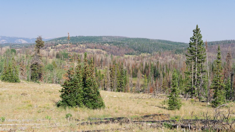
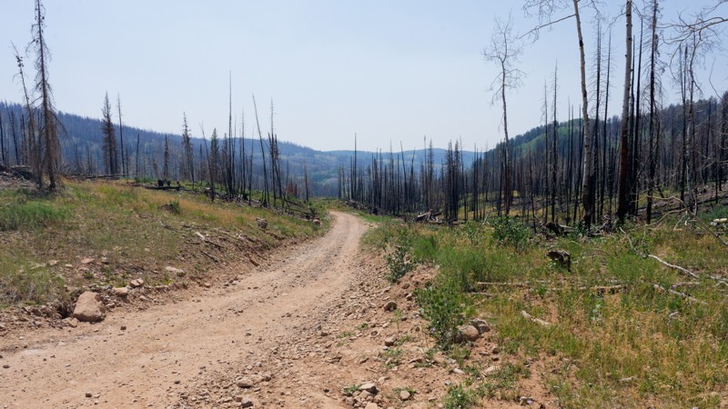
Broadview Meadows departs off Murdoch Basin Road and heads through the 2020 Upper Provo Wildfire burn scar north to Broadwater Meadows, connecting to the Mirror Highway. When running this trail, be sure to stay on Broadview Meadows FR416, as quite a few ATV-only trails diverge off the trail. A designated camping area is available immediately at the start of Broadview Meadows, with sites distinguishable by the metal fire rings and picnic tables. This fee area requires a recreation pass obtained at the kiosk on the Mirror Highway when you are first entering the Uinta-Wasatch-Cache National Forest. Three-day passes are only $6. The trail is a mix of rough dirt and cobblestone stretches. Air down to make the ride more comfortable.

Utah: Pit and Page Hill Hero Photo
All-Access Icon
4/5 (10 reviews)
Updated: 06/15/2024

Pit and Page Hill

Kamas, Utah
Tucked away off of the major trails lies a little gem of peace and solitude away from the main trails in the Uinta National Forest. Requiring 2 sections of other trails just to reach, Pit and Page Hill is a neat little trail taking you around a hillside and occasionally giving you a glimpse of the surrounding area. Along with its solitude, you may find a spot or two to pitch a tent, crack open a beverage, and enjoy the wind whistling through the trees around you. Luckily, all that's needed to reach this serenity is a mild high-clearance vehicle and an hour or two of your time. Be sure to pack a deck of cards and some firewood so you can spend an evening with some good company enjoying the Uinta Mountains!