
Mary Ellen Gulch (29.41 miles away)
Alpine, Utah
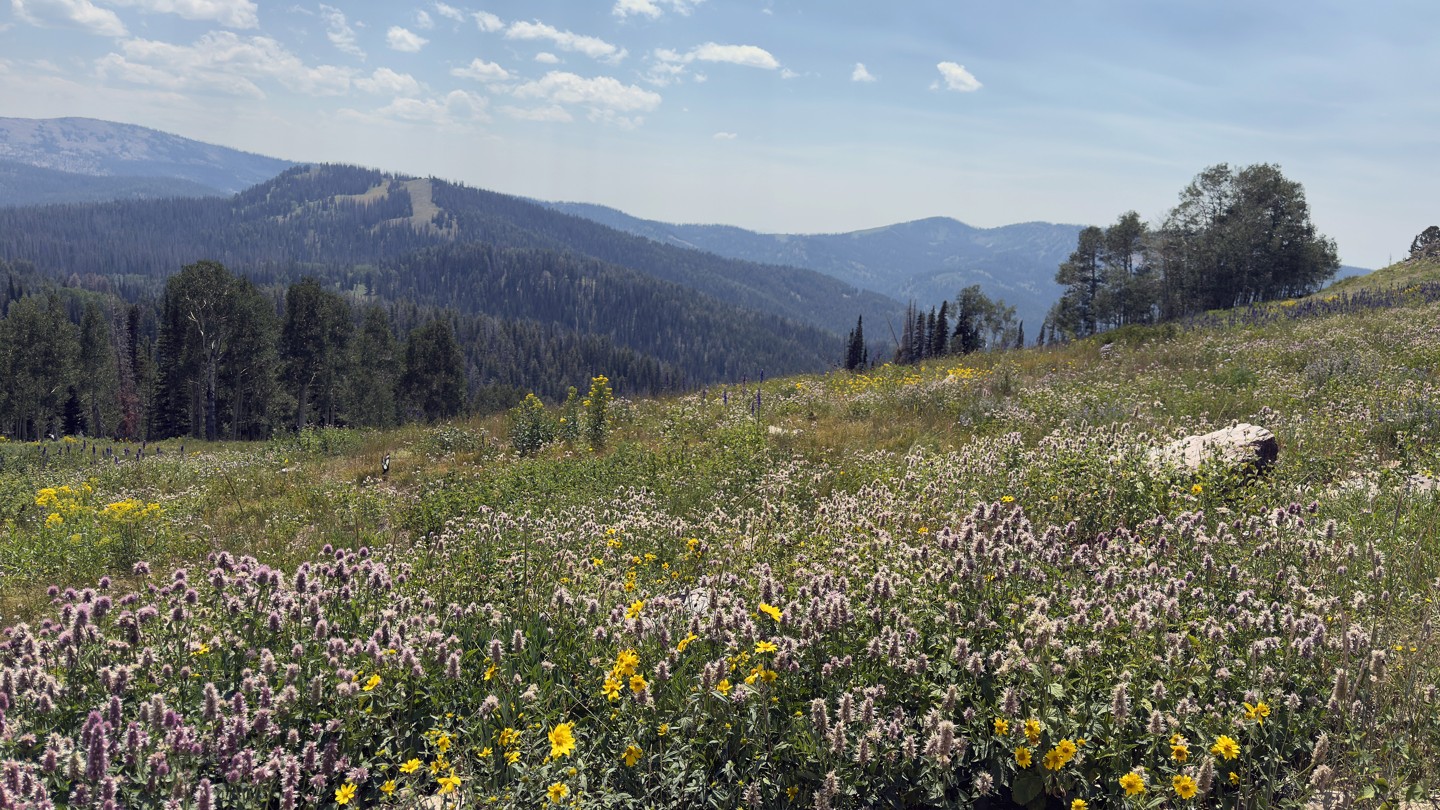

Red Pine Road is an out-and-back route that climbs from the popular Smith and Morehouse Reservoir into the highlands, reaching nearly 10,000 feet in elevation. The lower section winds through a dense aspen forest with steep Red Pine Canyon to the west, before opening into a sweeping meadow with panoramic views. From there, the road climbs a steep hill into the upper forest.
The trail is mostly dirt and rock with one notable obstacle: a steep, eroded ascent into the meadow. The upper section is narrow, and overhanging brush will likely leave pinstriping. Dispersed campsites are scattered along the route, though the higher elevations bring chilly nights.
At its upper reaches, Red Pine Road overlooks South Fork Canyon more than 2,000 feet below, with views stretching toward Rowe Mine. The reservoir itself is named after George Smith and Henry Morehouse, 19th-century tie hackers who cut and squared massive trees for the Union Pacific Railroad, floating them down the Weber River to Echo Canyon.
Seasonal closure is in effect during May and early June due to spring snowmelt runoff.