Region

Moab

Utah

Offroad Trails in Moab

A Region within Utah
4.5/5 (2931)

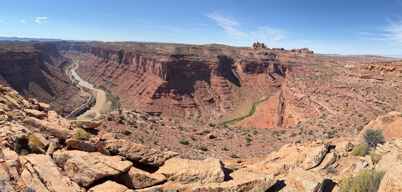
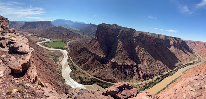
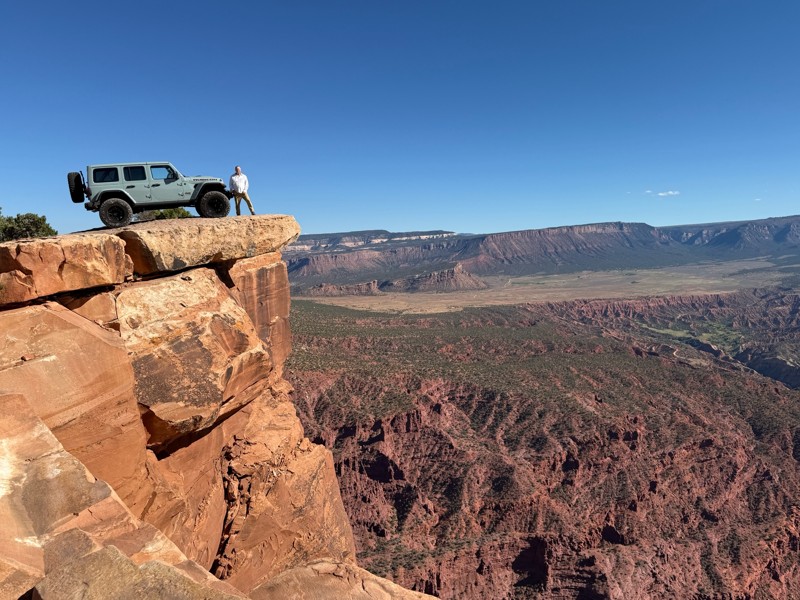
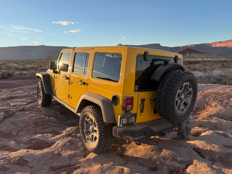
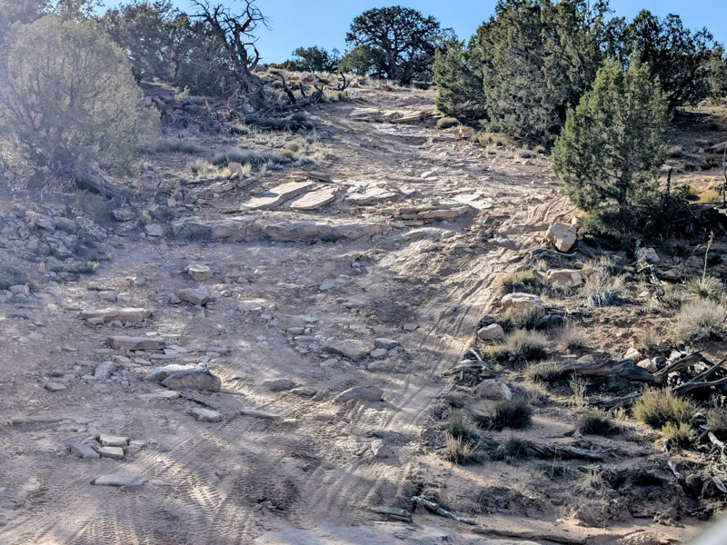
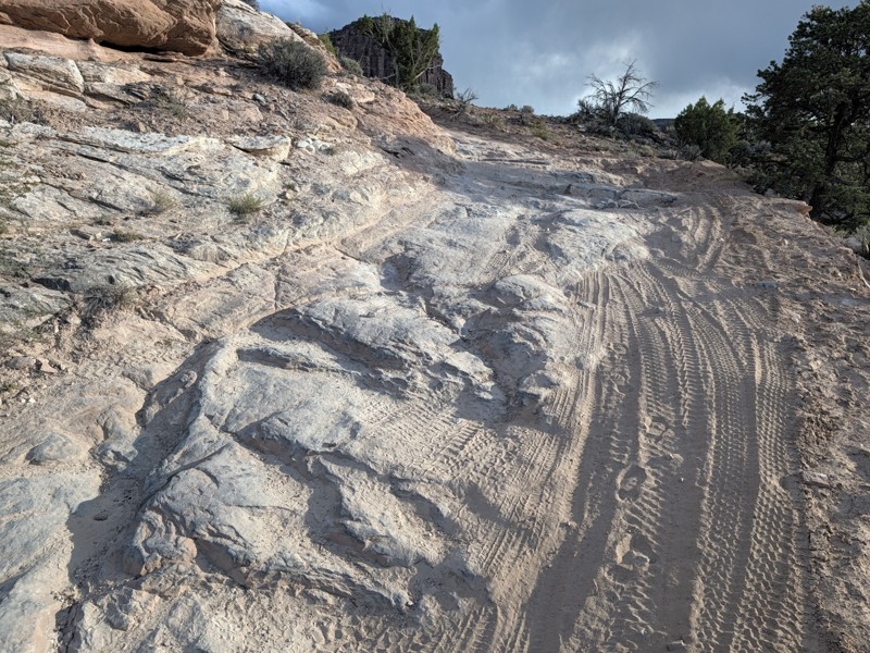
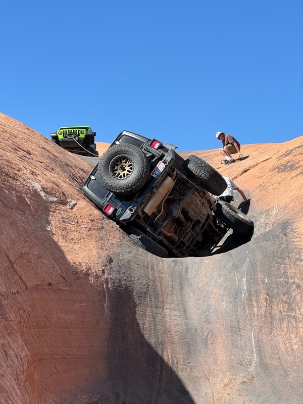
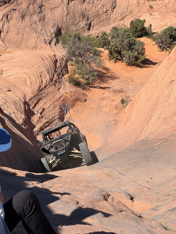
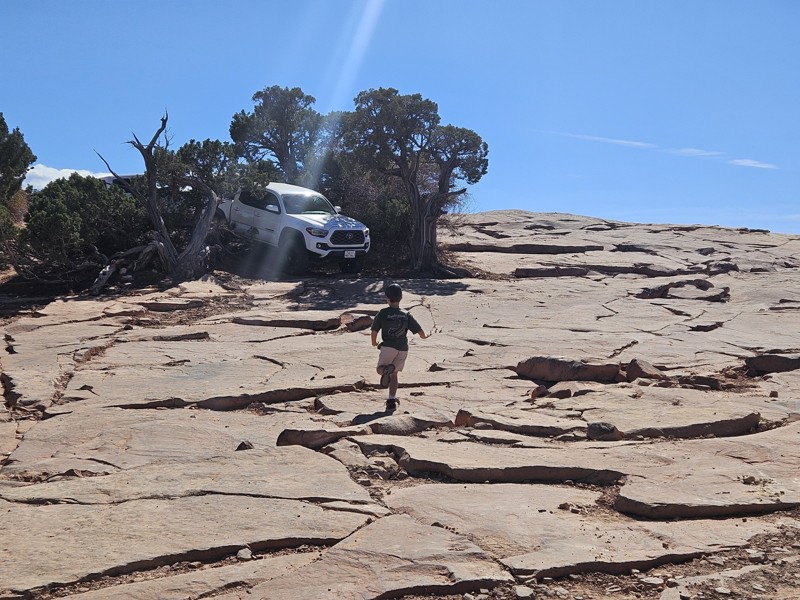
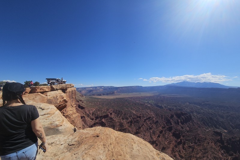
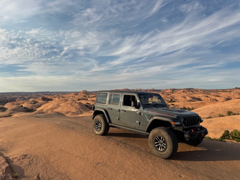
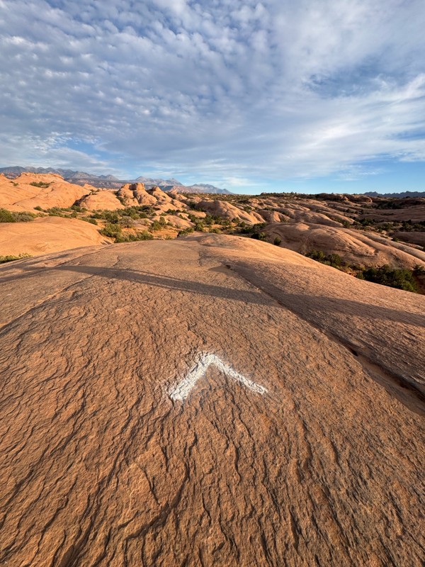
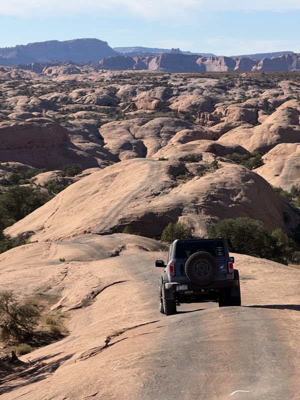
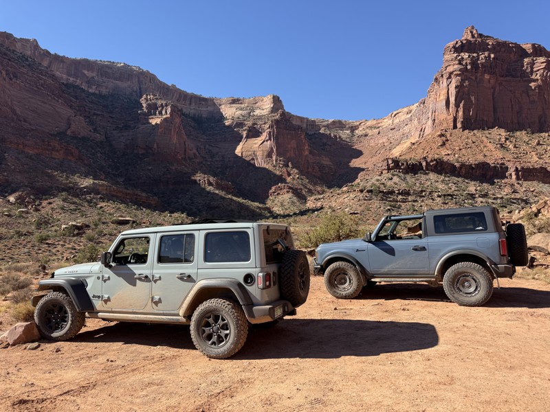
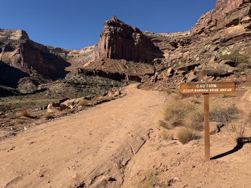
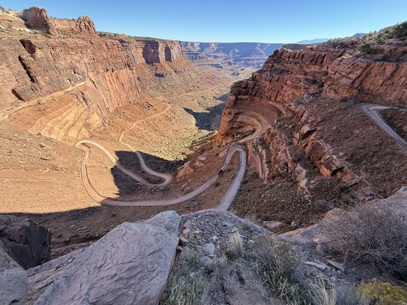
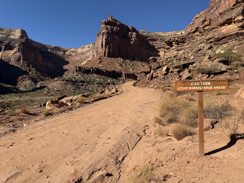
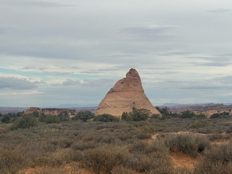
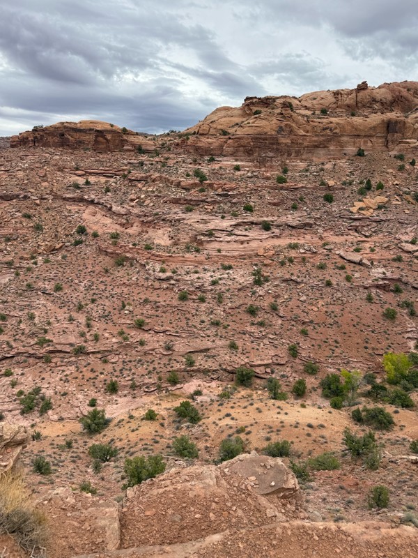
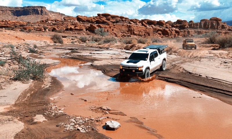
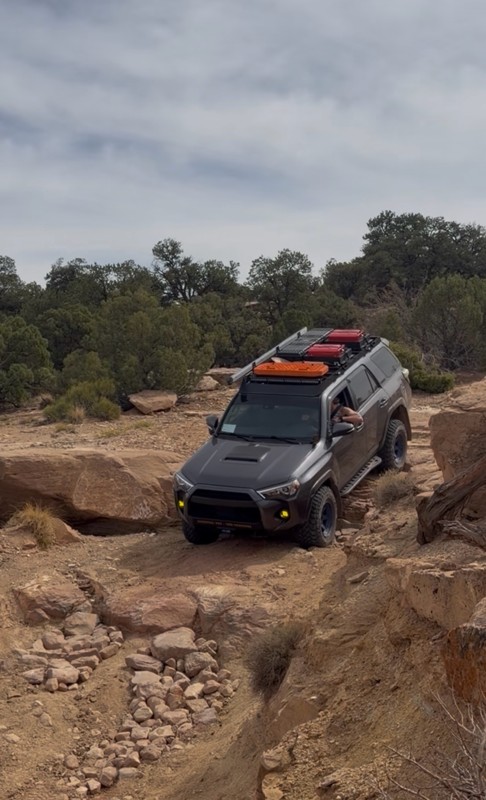
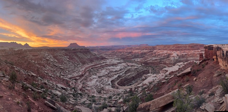
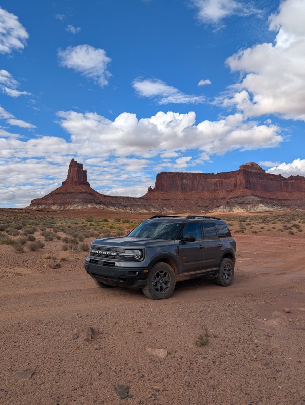
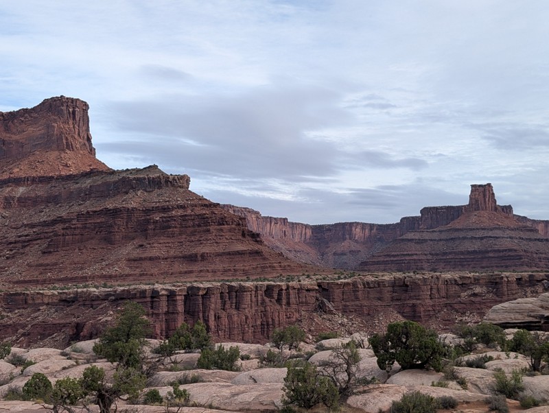
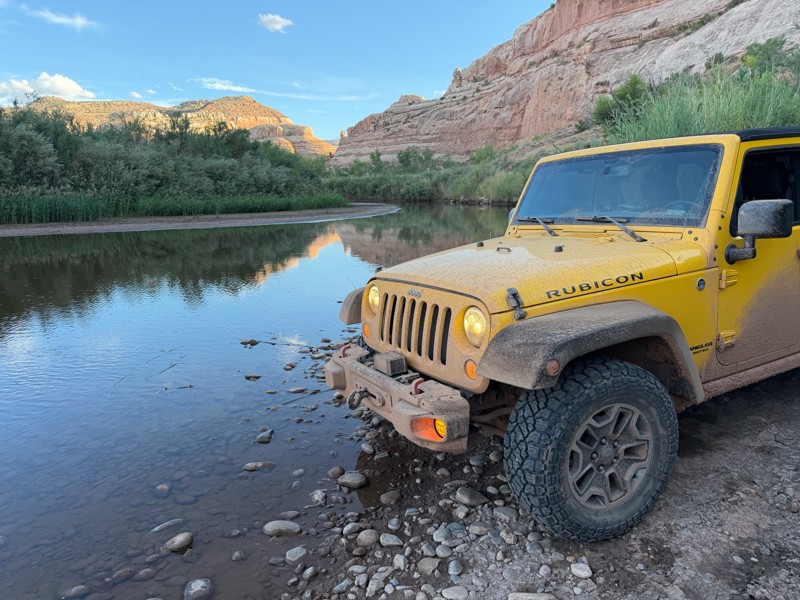
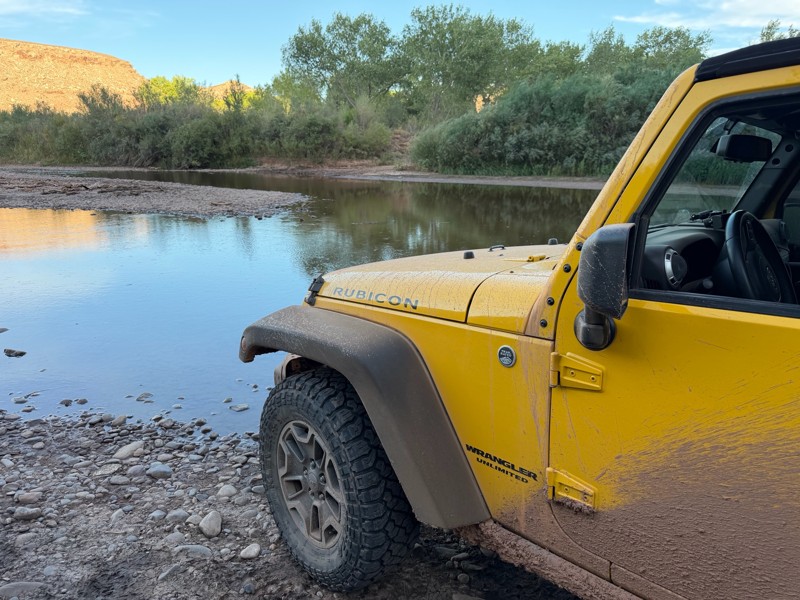
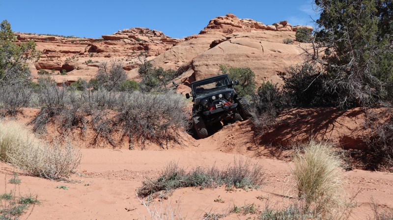
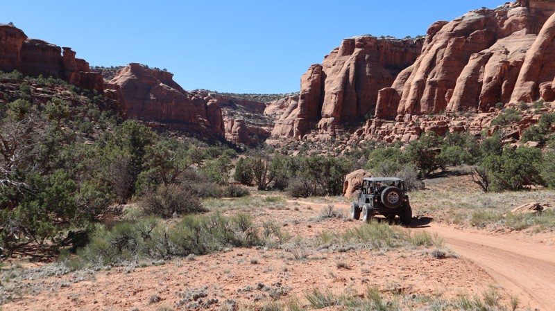
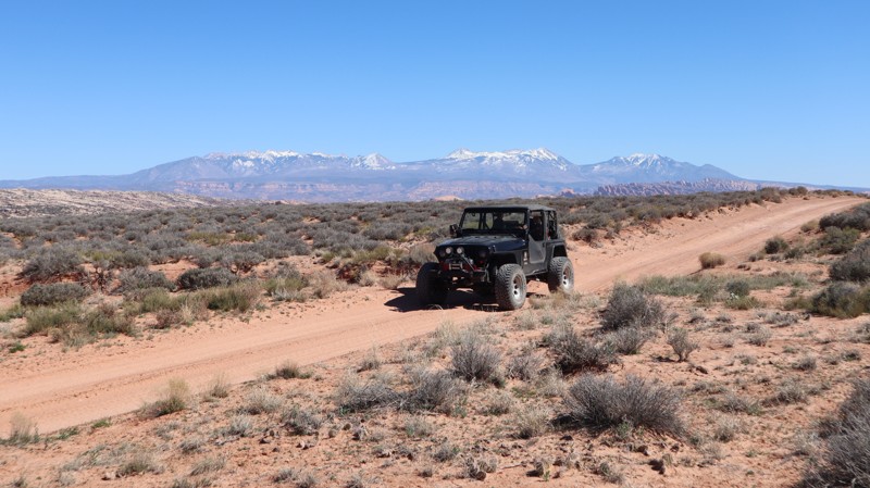
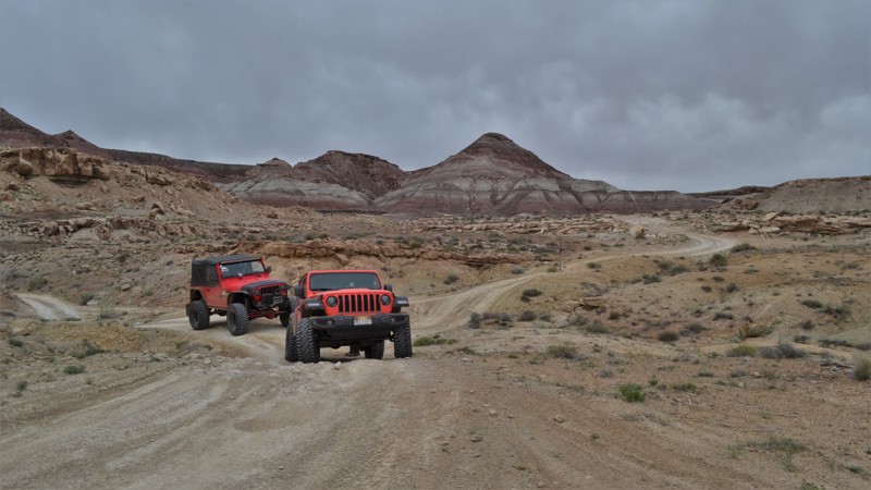
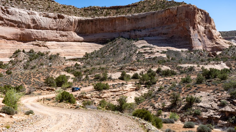
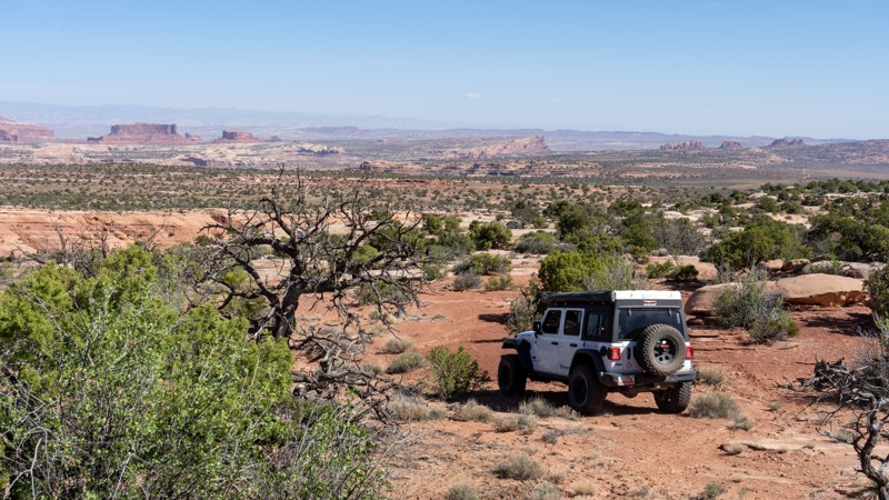
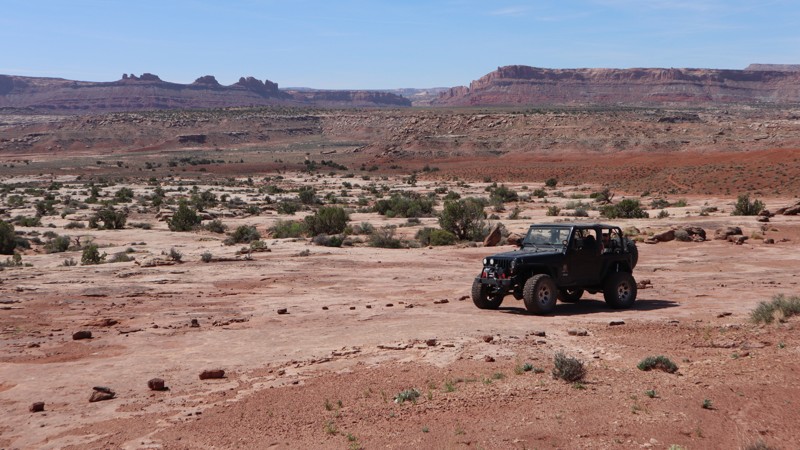
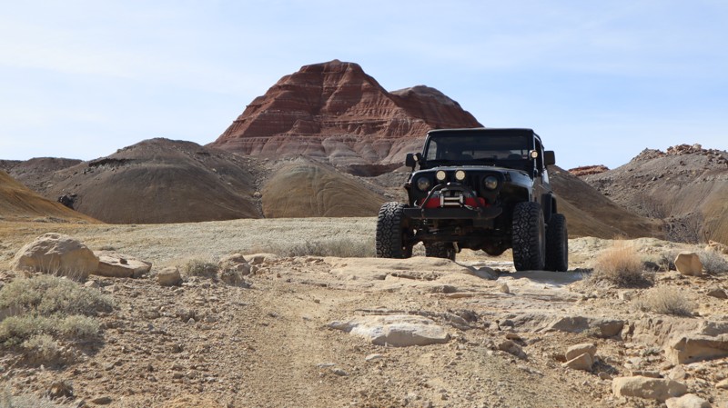
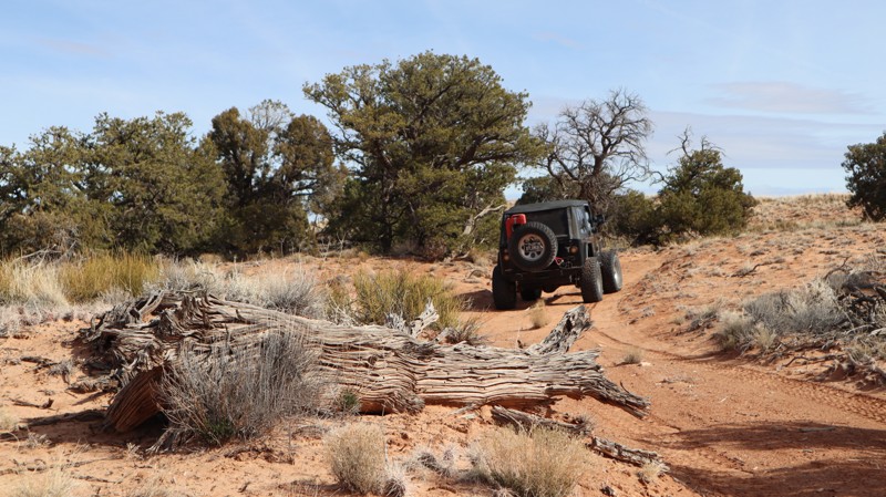
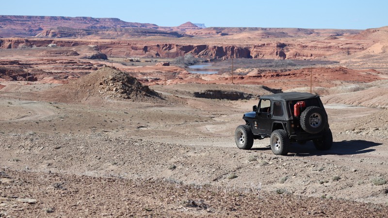
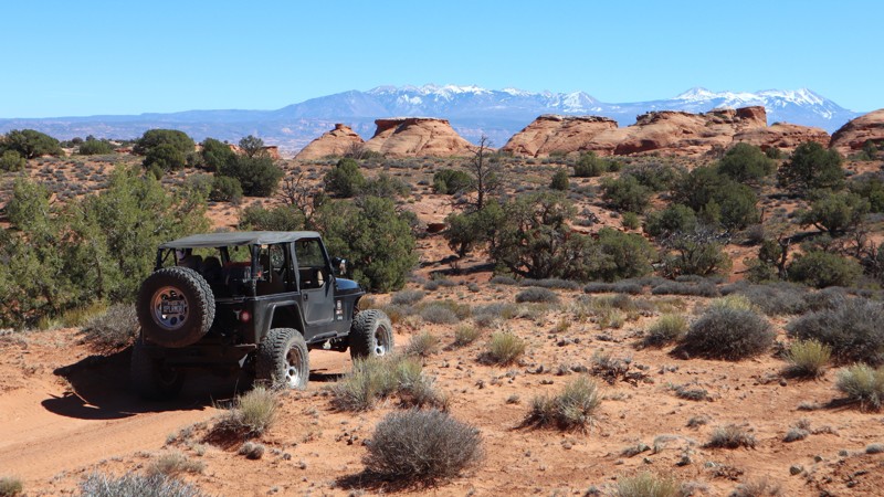
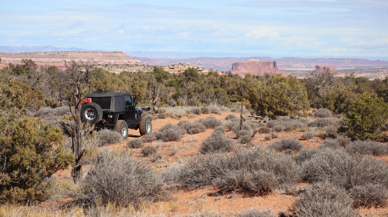
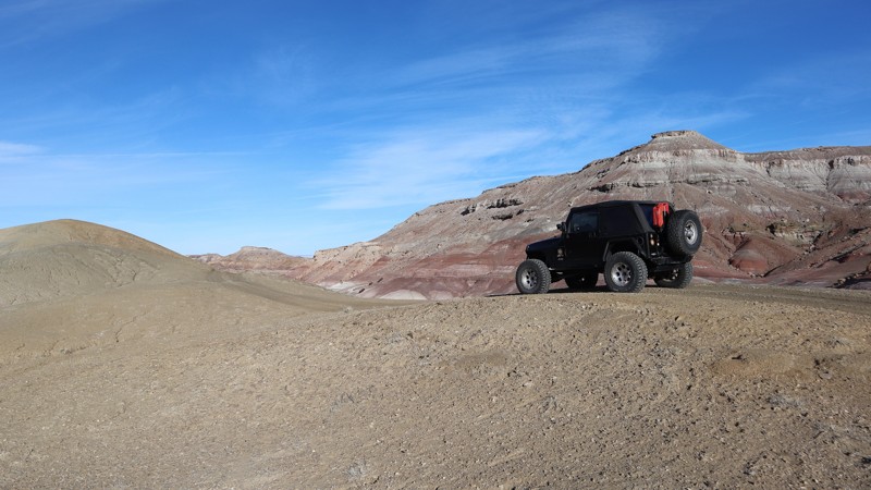
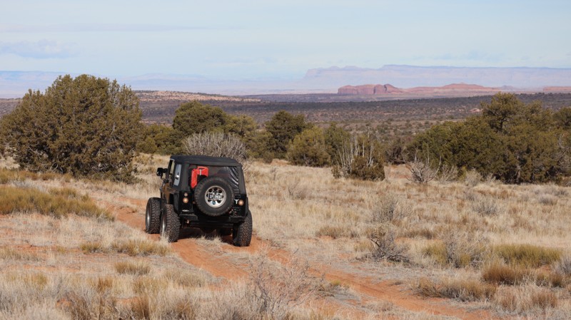
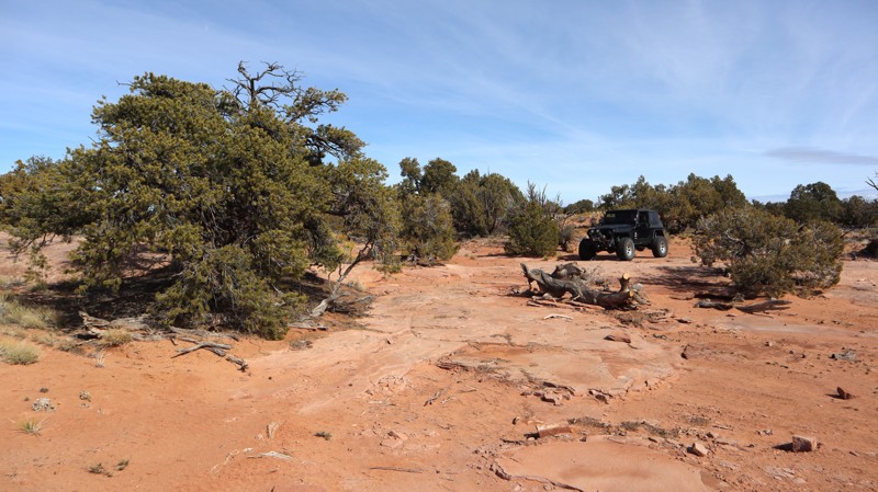
Moab, Utah, is renowned worldwide as a premier destination for offroad enthusiasts. Nestled in the heart of the American Southwest, Moab offers a diverse array of trails that cater to all skill levels. Whether it's an overland or rock crawling adventure you are looking for, this stunning red rock landscape offers 100s of open roads and trails that range from easy to extreme. The area spans over 103,000 square miles and includes lands managed by the Bureau of Land Management, The Manti-La Sal National Forest, Utah State Trust Land, Arches and Canyonlands National Parks, and the Sand Flats Recreation Area.

While the most well-known trails, such as Hell’s Revenge, Fins and Things, Poison Spyder, The White Rim Trail, and the Rimrocker, are typically the main attractions, the area is home to plenty of hidden gems worth exploring.

While visiting and riding the trails, enjoy Arches and Canyonlands National Parks to round out your trip. Plan accordingly because Arches now has a timed entry system from April through November, where you need a permit to enter. It is also important to know that summers can have extreme heat with monsoons, and even though it is a high-plain desert, it can snow in the winter months.

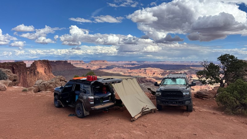
Dispersed camping is limited and only available in designated areas. Each Trails Offroad trail guide lists the various camping opportunities, including BLM’s designated campsites. BLM also manages several campgrounds with vault toilets and picnic tables. Within the town of Moab, you can find various lodging and dining opportunities and repair and maintenance services for your vehicle.


Top Reasons to Explore Here

Basemaps
Go All-Access to Unlock


TRAILS OFFROAD™ TRAIL TYPES
Trail Guide
Full detailed write up with Advanced Rating System, Waypoints, Video, and more.
Scout Route
Lite version with highlights, camping, and hardest part documented. Vetted in person.
TRAIL DIFFICULTY RATINGS
easy (1-2)
Suitable for high clearance 2WD
moderate (3-4)
Best suited for a high clearance 4x4
difficult (5-6)
Best suited for a lightly modified 4x4
severe (7-8)
Best suited for a highly modified 4x4
extreme (9-10)
Best suited for specialized buggy type vehicles
LAYERS

Most Recent Trail Reviews

Most Popular

Search for Trails
Utah: Boulder Bridge Hero Photo
Scout Route Icon
5/5 (1 reviews)
Updated: 04/10/2026

Boulder Bridge

Moab, Utah

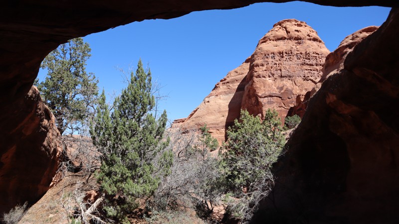
A wonderful addition to any visit to Utah, Boulder Bridge is a very "cool" spot hidden back in the red rock cliffs. At the end is a truly memorable campsite and a short scramble hike to the fornamed arch, with a massive boulder sitting on top. The sandy 1/4-mile trail is easy enough in high-clearance 2WD; all the trails leading out there are more difficult. Be sure to explore around on foot to find the shady spots to have lunch on a hot day.

Utah: D1310 Hero Photo
Scout Route Icon
1/5 (1 reviews)
Updated: 10/15/2024

D1310

Moab, Utah

Intersecting Mineral Point at Waypoint 9 is D1310, an easy sandy and packed dirt trail that jumps over to D1136, a through trail connecting many more popular trails. There are no obstacles on this trail, making for a quick journey. There are no campsites along this trail. However, many other spurs in the vicinity offer great dispersed camping opportunities.

Utah: D1478 Hero Photo
Scout Route Icon
4/5 (1 reviews)
Updated: 04/01/2025

D1478

Moab, Utah

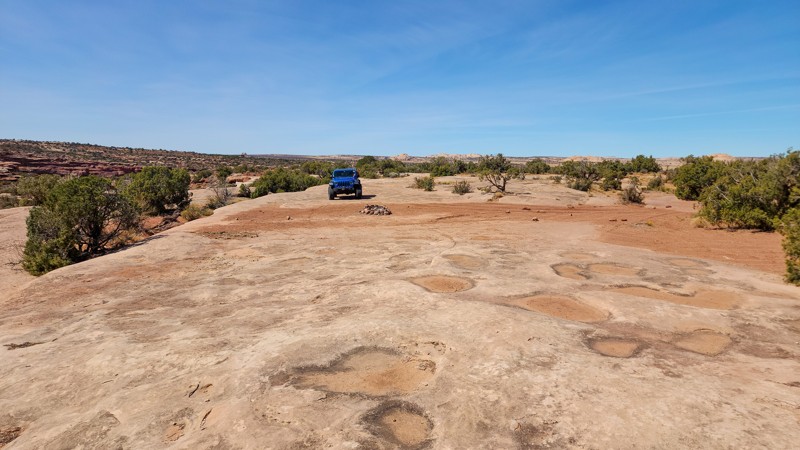
D1478 is a short, out-and-back camping spur off of Spring Canyon Bottom. It starts sandy and hard-packed and gradually gets rougher as it transitions into more slickrock as you get closer to the end. The end of the trail overlooks Hell Roaring Canyon. The trail is not difficult, just bumpy at times, and any vehicle with decent ground clearance can make the trek. Large travel trailers should avoid this spur because of limited space to turn around, but small trailers like teardrops and popups should be fine. There are a total of 4 campsites along the trail, all of which are large, decently level, and situated primarily on slickrock.

Utah: Taylor Canyon Rim Hero Photo
Scout Route Icon
4.2/5 (6 reviews)
Updated: 02/24/2026

Taylor Canyon Rim

Moab, Utah

Taylor Canyon Rim is a reasonably mellow trail that once kissed the edges of Canyonlands National Park in Utah’s high desert. This dirt trail offers a diverse terrain that used to end at a rewarding overlook of Taylor Canyon, but closures in 2023 have cut the trail short. The trail runs along a sandy plateau with occasional rocky inclines. It’s said that on a clear day, it’s possible to see as far as the Henry Mountains to the west. This 4x4 trail provides access to the quiet backcountry and little-used campsites. Make sure to pack for the unexpected, as you are not likely to see much company.

There are no major obstacles along this trail, though high clearance vehicles are required. Rock ledges can reach up to 14 inches. Though the narrow road allows for a single vehicle, there is frequently space to the side for safe passing.

Utah: D1052 Hero Photo
Scout Route Icon
3/5 (1 reviews)
Updated: 03/16/2026

D1052

Moab, Utah

D1052 is a short but slightly challenging option for accessing the Taylor Canyon area trails. Beginning from the south, it's the last legal trail before Canyonlands National Park. Traveling south to north means you will be traversing the obstacles downhill, making it the easiest direction. You will need a 4x4 low-range vehicle with high clearance, skid plate protection, and durable off-road tires to safely navigate the entire trail. There are loose dirt hills with 8-12" rock ledges and a deep, off-camber washout that requires a traction aid of some sort. You can easily tip into the deep trench with an improper line. Camping is not permitted along this trail, but excellent camping can be found along the nearby Rough Canyon Rim.

Utah: D1240 Hero Photo
Scout Route Icon
3/5 (1 reviews)
Updated: 03/09/2026

D1240

Moab, Utah

Travelling across the Utah prairie land, D1240 is a 1.7-mile crossover with one small campsite. The crossing begins from the east as a gravel road leading to a drill station before branching off onto a deep rutted two-track. The sand is hard-packed, and the ruts get "tippy" at points. You won't have to worry about pinstripes, and it's all 2WD high clearance, unless it's wet. The lone scenic campsite, on a large sandstone slab, is legally a 1/2 mile from the eastern trailhead, and a nice, quick campsite for a night.

Utah: Mill Canyon Hero Photo
Scout Route Icon
4/5 (1 reviews)
Updated: 02/05/2026

Mill Canyon

Moab, Utah

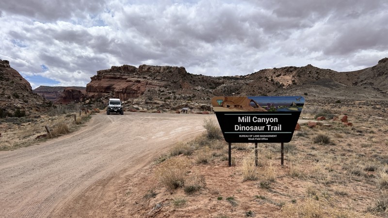
Mill Canyon is a quick side-trip trail to see dinosaur bones and an excellent view of the Determination Towers in the distance, which are along the Sevenmile Rim Trail. The bones are a short walk from the parking lot and are from a plant-eating dinosaur, the Saurpod. They have become fossilized and embedded in the rock and are visible along the easy hike. No camping along this trail, and the parking lot has plenty of space for your group.

Utah: Little Canyon Road Hero Photo
Scout Route Icon
2/5 (1 reviews)
Updated: 04/10/2026

Little Canyon Road

Moab, Utah

Little Canyon Road is just over 2 miles of graded dirt and gravel. The road has sporadic cross ruts and washouts on the shoulder. There was no camping found on this windy, wide-open cattle land. Abundant camping can be found along the western portion of Gemini Bridges.

Utah: Periscope Canyon Hero Photo
Scout Route Icon
5/5 (1 reviews)
Updated: 05/01/2026

Periscope Canyon

Moab, Utah

Branching off Jacks Canyon, Periscope Canyon is a short, out-and-back sandy two-track leading to a unique camping and hiking area. Slot-canyon hiking and exploring in the area are worth the effort to set up camp at the end of this sandy trail. You will navigate a couple of small rock ledges, but to reach the end, you must drop into and out of steep sandy washes. The trail is very narrow, guaranteeing pinstripe scratches to reach the open camping at the end. The camping area is a leveled sand area, with room for several vehicles and tents.

Utah: Saucer Canyon Hero Photo
Scout Route Icon
2/5 (1 reviews)
Updated: 04/10/2026

Saucer Canyon

Moab, Utah

Easily accessible from Gemini Bridges and Four Arches Canyon, Saucer Canyon travels out-and-back for over a mile through a scenic red rock canyon. The trail can be traveled in a 2WD high-clearance vehicle along the sandy and rocky two-track. You cross the dry wash a couple of times before ending at the current BLM track marker. Although the trail appears to continue beyond the squeeze rock, the current boundary is at the rock. Camping appears to have been available in a couple of spots; however, these sites are now more reserved for cattle. To avoid a precarious turnaround point, avoid traveling to the very end of the track and turn around in the wash below. 

Utah: D1799 Hero Photo
Scout Route Icon
2/5 (1 reviews)
Updated: 04/10/2026

D1799

Moab, Utah

D1799 is a bouncy sand and dirt two-track without any obstacles or camping. The trail takes under 10 minutes to cross between Arths Pasture Road and the easy section of Metal Masher.

Utah: Orange Trail Hero Photo
Scout Route Icon
3/5 (3 reviews)
Updated: 05/28/2026

Orange Trail

Green River, Utah

Orange Trail is a BLM-managed desert connector road near Green River, Utah. It is not a destination trail, but a handy shortcut/connector to know when linking together other routes in the area. As you travel toward the east end, the drive becomes more scenic as the road passes the mouth of a small rocky canyon to the south, adding a bit more visual payoff than you might expect from a simple connector. This is mostly a 2-track trail with free-standing rocks near the east end that are 6-8". This trail is suitable for any high clearance vehicle.
Utah: Cottonwood Canyon Cutoff Hero Photo
Scout Route Icon
3/5 (2 reviews)
Updated: 05/01/2026

Cottonwood Canyon Cutoff

Dewey, Utah

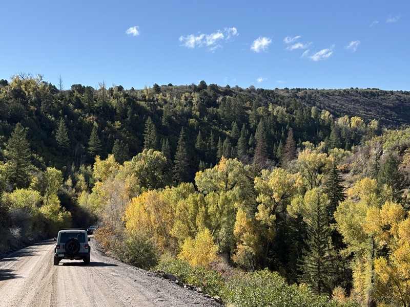
Cottonwood Canyon Cutoff is an easy, high-clearance connector used to bypass the notorious obstacles in the Cottonwood Canyon section of Rose Garden Hill when traveling toward Delores River Overlook. The route begins near the end of Entrada Bluffs Road and connects to the midpoint of Rose Garden Hill, offering a smoother alternative for drivers who want to avoid the harder technical terrain. The road has no major obstacles and is suitable for any high-clearance vehicle, though the surface includes hard-packed dirt, scattered golfball- to cueball-sized rocks, and a few chunky, bumpy slickrock sections. This is more of a practical access route than a destination trail, but several prime campsites near the southern end make it a worthwhile option for overlanders or anyone looking for a quieter camp before continuing deeper into the area.

Utah: Tibbett Arch Viewpoint Hero Photo
Scout Route Icon
4/5 (2 reviews)
Updated: 05/20/2026

Tibbett Arch Viewpoint

Moab, Utah

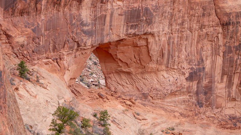
A quick spur from the route Mineral Point Road to Spring Canyon Bottom Road leads to a viewpoint of the Tibbett Arch. The trail will take only about 15 minutes to drive, and at the end, a large parking area is spacious enough for eight vehicles and is a perfect spot for lunch. The trail is moderately rough, with exposed embedded rock mixed among loose, grapefruit-sized rocks. High clearance will be needed.

The arch is not easily found. You must hike about 100 yards from the parking to the edge of Roaring Canyon, then walk east a couple of hundred yards and look back west down into the canyon. Be mindful on the hike that the cliff's edge is completely exposed, and it would be a several-hundred-foot fall. A single dispersed campsite is available at the end of the trail, with room for 2-3 vehicles. However, this site may get some traffic as it is the turnaround for the end of the trail.

Utah: Bull Point Road Hero Photo
Scout Route Icon
4/5 (1 reviews)
Updated: 05/20/2026

Bull Point Road

Moab, Utah

This trail leads to Bull Point, offering expansive views into Four Arches Canyon, with Merrimac and Monitor Buttes visible in the distance. As you drive, the scenery through the windshield feels grand and wide open, giving the route a strong sense of space and remoteness.

Along the way, there are only a couple of small areas suitable for camping, with the most notable spot located at an abandoned oil pad. A few remnants from the area’s short-lived oil activity remain, including old rusty cans and a survey marker noting the former well site.

The final few hundred feet of the trail can no longer be driven, as time has reclaimed the road and cryptobiotic soil has begun forming across the surface. At the end of the drivable route, there is just enough room for one vehicle to park before continuing on foot out to Bull Point.

This trail is suitable for any high-clearance SUV, though drivers should expect a few small ledges to navigate near the end.

Utah: D3551 Hero Photo
Scout Route Icon
2/5 (1 reviews)
Updated: 04/24/2026

D3551

Moab, Utah

D3551 is a short crossover without any obstacles and is primarily used to access mountain bike trails. The trail has stretches of soft sand and rock ledges, 6-10" tall, that require extra ground clearance. The route shares sections with mountain bike trails, where they have the right of way. Please come to a complete stop and let them pass. Do not destroy the delicate vegetation by driving off-trail. No camping is found along the route.

Utah: D3018 Hero Photo
Scout Route Icon
5/5 (1 reviews)
Updated: 04/10/2026

D3018

Green River, Utah

D3018 demands a bit more from the driver and vehicle. You'll need steel nerves and a capable vehicle to safely navigate the numerous hills on this short, 3-mile trail. The views are worth the effort, and you pass a popular salt flat frequented by native pronghorns. The hills are dangerous for inexperienced and under-equipped vehicles. The hills are very steep with loose dirt and large basketball-sized boulders limiting traction, both uphill and downhill. Traction aids such as differential lockers are highly recommended. Traveling north to south makes the trail slightly easier, as you will traverse the most difficult hill in the downward direction.
Utah: D1005 Hero Photo
Scout Route Icon
2/5 (1 reviews)
Updated: 03/09/2026

D1005

Moab, Utah

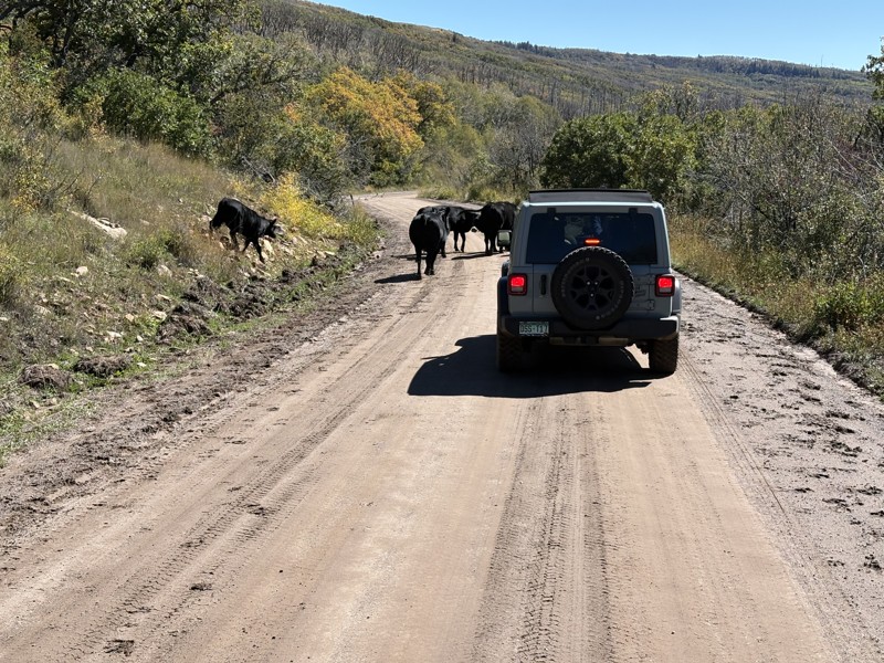
D1005 is a rocky and bumpy crossover engulfed by dense Pinyon Pine and Utah Junipers, offering fleeting distant views. The entire 1.8 miles is a twisting, bumpy ride through a natural high desert forest. The countless, still-standing dead trees are grey carcasses of their past. The trail requires 4WD high clearance, skid plate protection, and durable offroad-type tires. There are a couple of hills with vertical ledges 6-10" tall. Traveling south to north is the easiest direction, and takes about 45 minutes to cross over. The terrain is rugged, so no established camping was found along the route. A short distance from the junction with D1006, you can find one small campsite on that trail.

Utah: D2930 Hero Photo
Scout Route Icon
3/5 (1 reviews)
Updated: 04/10/2026

D2930

Green River, Utah

D2930 runs 3 miles out-and-back across a rugged desert landscape, offering distant views of Ruby Ranch and the Green River. The route follows a deeply rutted two-track to the base of Dellenbaugh Butte, where access to the Green River continues on foot. This trail requires 4WD, high ground clearance, and strong approach and departure angles. Washout trenches are extremely deep and can easily swallow a 33-inch tire. Reaching the very end also requires climbing a vertical, off-camber rocky ledge. The trail ends at a fence that blocks vehicle access to the river, so please respect the boundary and continue only on foot. There are no established campsites along the trail.

Utah: D1781 Hero Photo
Scout Route Icon
5/5 (1 reviews)
Updated: 04/10/2026

D1781

Moab, Utah

"Keep going to the end, there's an amazing campsite". Not far from Gemini Bridges, tucked back at the very end of D1781, is that Instagram campsite you've been looking for. At just over 3/4-mile, and doable in a stock 4x4, this is a no-brainer for an individual or small group to set up the RTT and time-lapse camera. The trail in is soft two-track sand ruts, but the end is rolling sandstone slabs right up to the cliff edge. Once you set up base camp, be sure to head over to Boulder Bridge and explore those canyons. 

Utah: D1758A Hero Photo
Scout Route Icon
4/5 (1 reviews)
Updated: 03/09/2026

D1758A

Moab, Utah

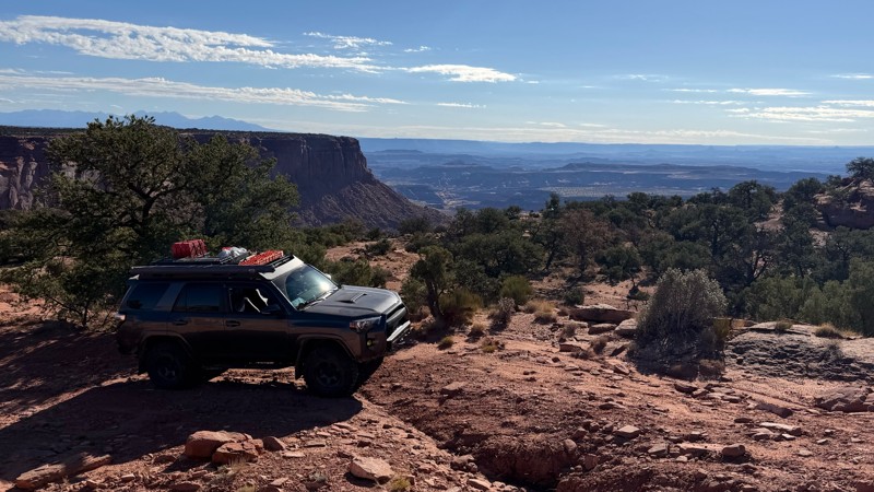
The signs at the trailhead say Dead End and No Camping for a 1/2 mile. What they don't say is that at the end of the 0.7-mile trail is a single campsite with amazing views all to itself. The entire route is hard pack and soft sand right-up to the end where the legal path ends at a sandstone slab overlook with a campsite tucked off to the side. It's worth poking your nose in here to see if it's open; you won't regret it. In dry conditions, it's passable in high-clearance 2WD, but the sand can be soft in the summer.

Utah: D3041 Hero Photo
Scout Route Icon
2/5 (1 reviews)
Updated: 04/10/2026

D3041

Green River, Utah

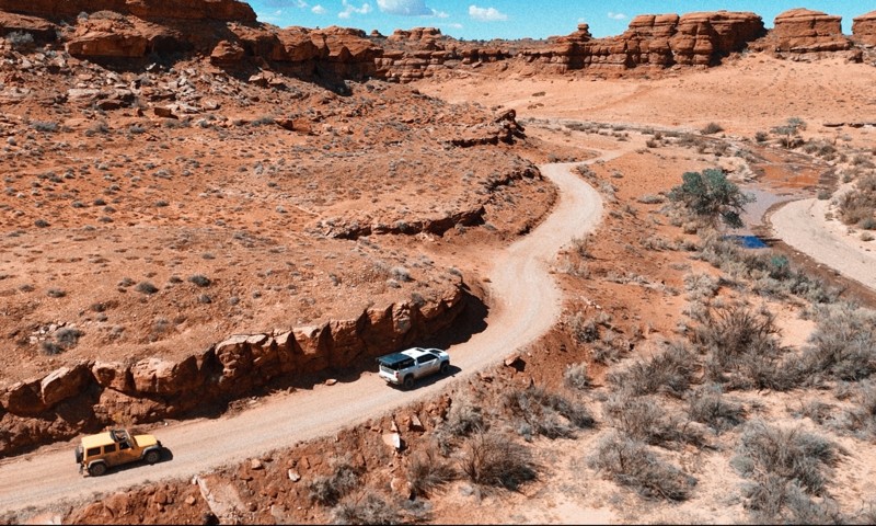
D3041 travels along a barren, unforgiving landscape with a colorful backdrop. The soft brown dirt two-track zig-zags over rolling hills and across rutted open prairie land. The deep, 12-24", vertical cross-cut trenches require significant approach and departure angles. Four-wheel drive, durable tires, and high clearance are required for the ruts, soft sand, and rocky sections. There is abundant camping at the western trailhead along Ruby Ranch Road. The camping is a wide-open space with room for RV campers and large groups.

Utah: D1008 Hero Photo
Scout Route Icon
4/5 (1 reviews)
Updated: 03/09/2026

D1008

Moab, Utah

Plan your trip for a clear day, and this short but rewarding loop will deliver big views that feel far larger than the mileage suggests. If you really want to soak it in, claim one of the tucked-away campsites nestled among the trees and make a weekend of it. Be aware that the sand can turn soft, especially during the heat of summer, and 4WD may be helpful in those sections. The trail threads through tight, twisting trees, so expect potential pinstriping if you run the entire loop. Most camping is concentrated near the western trailhead, where fairly level dirt sites offer easy access and a comfortable basecamp. Remember, firewood gathering is not allowed here, so plan ahead and bring approved regional firewood with you.

Utah: D1006 Hero Photo
Scout Route Icon
1/5 (1 reviews)
Updated: 03/09/2026

D1006

Moab, Utah

D1006 is a rocky and bumpy connector trail surrounded by dense Pinyon Pine and Utah Junipers. For the entire mile, you're bouncing and twisting through a high desert forest. The trail requires high clearance and durable off-road-type tires for the sharp rocks. A short distance from the junction with D1005, there is one small campsite on a short spur of sandstone. Follow the track closely through the zigzag section; it can get confusing staying on track. Pinstripping is almost guaranteed along this trail; thus, if you enjoy your paint, you will want to avoid this one.