Region

Moab

Utah

Offroad Trails in Moab

A Region within Utah
4.5/5 (2931)

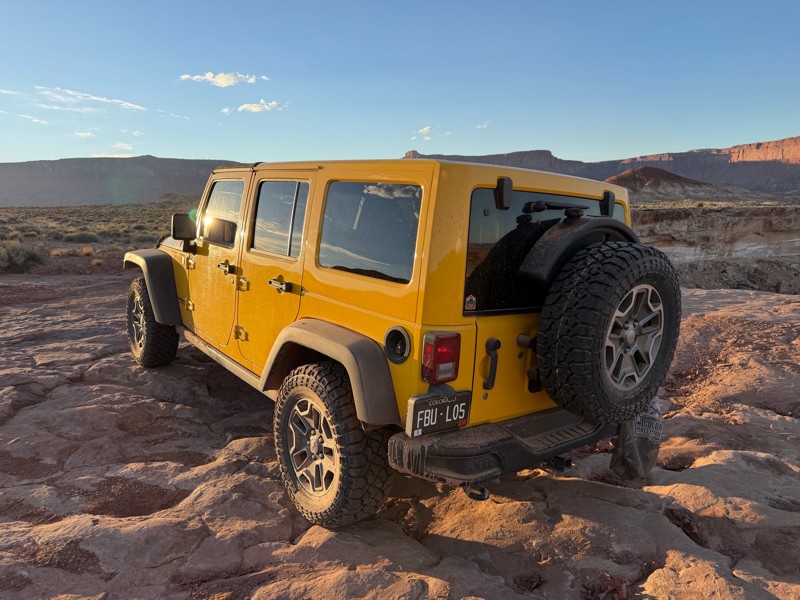
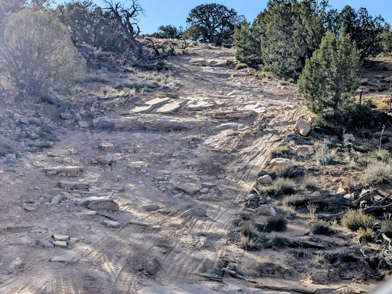
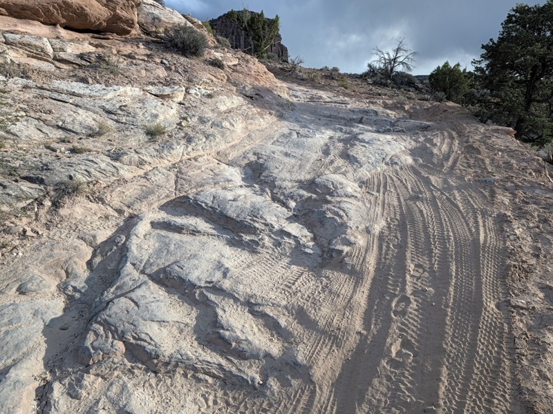
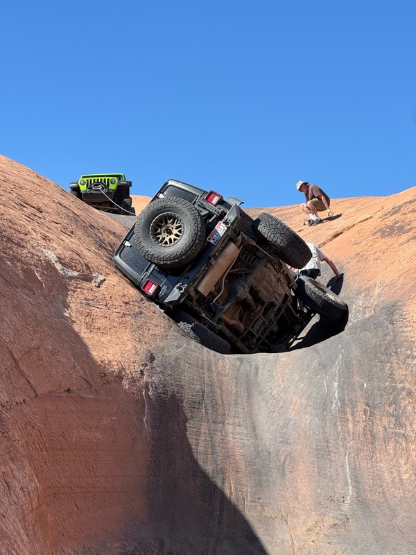
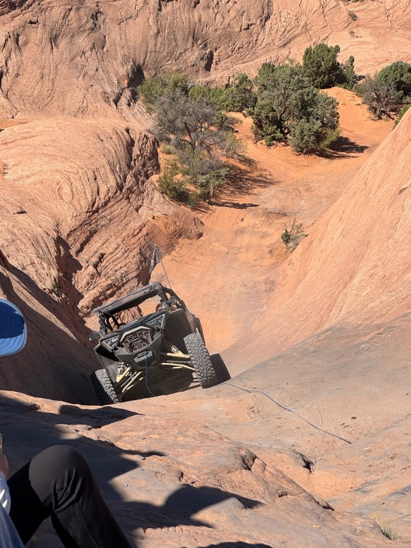
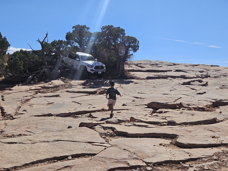
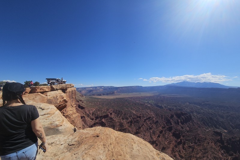
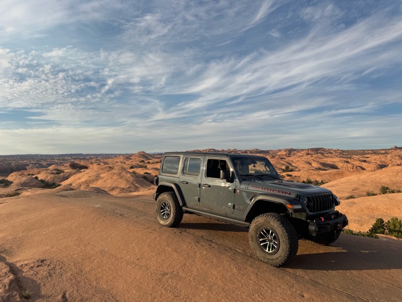
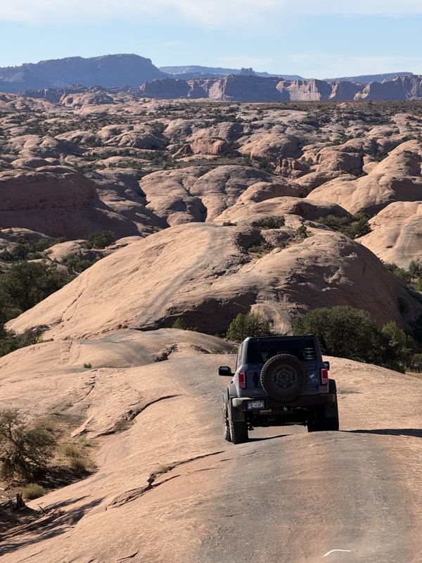
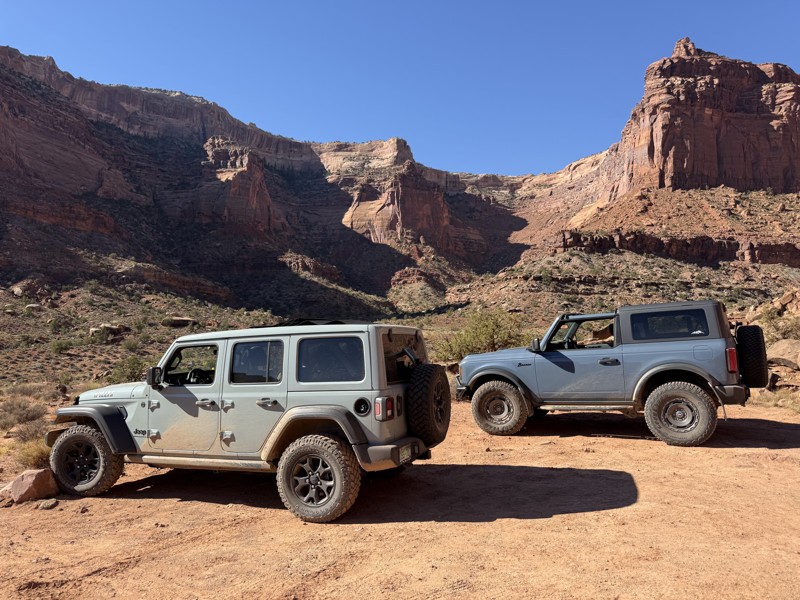
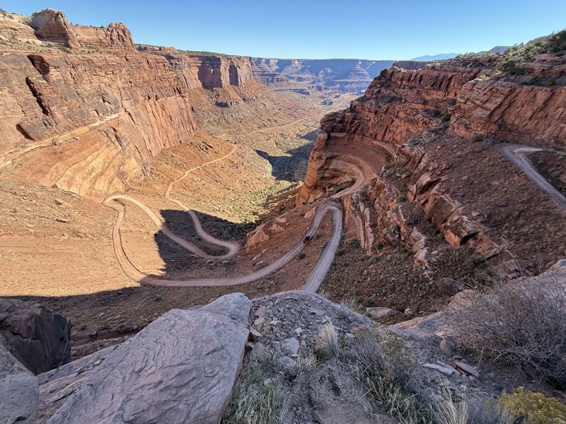
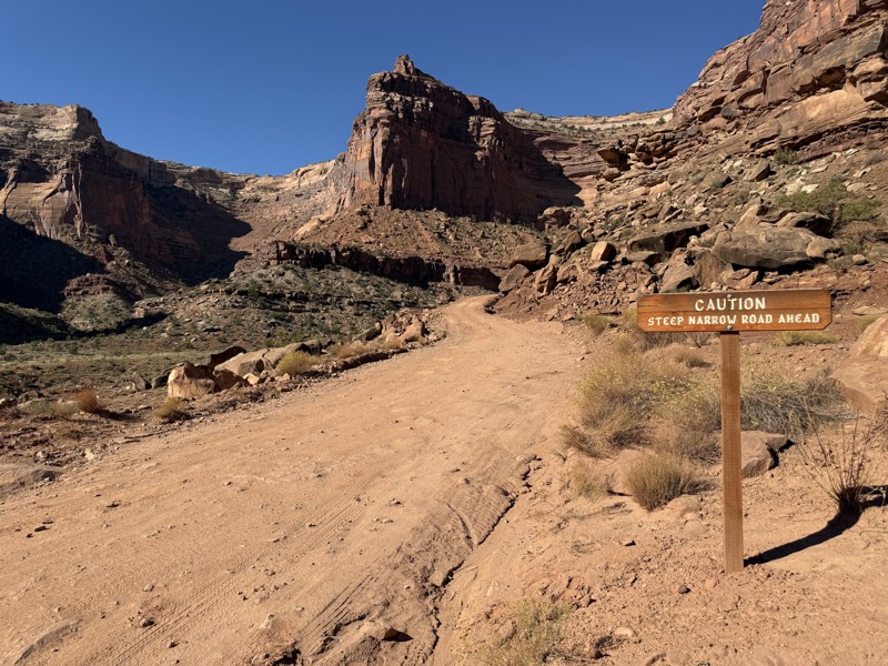
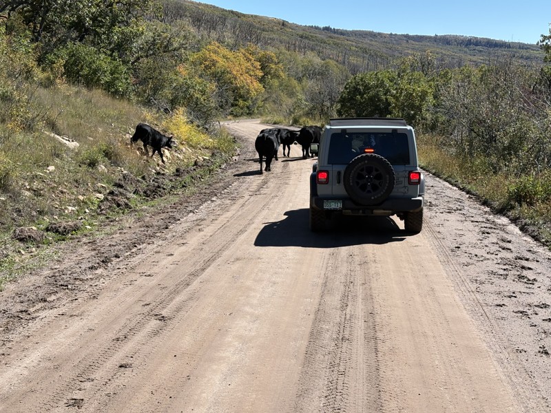
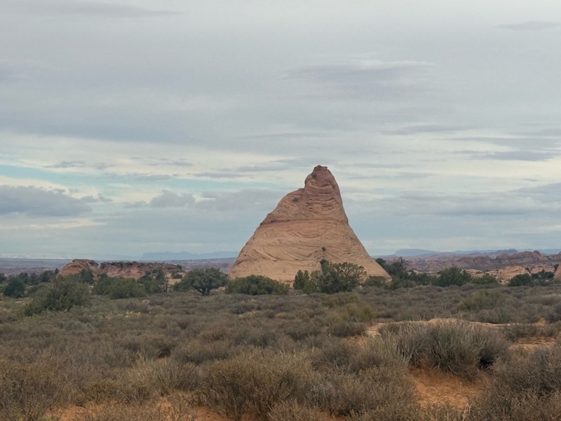
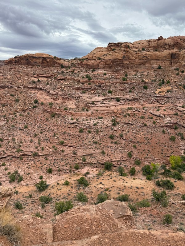
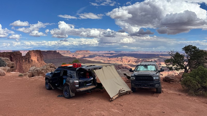
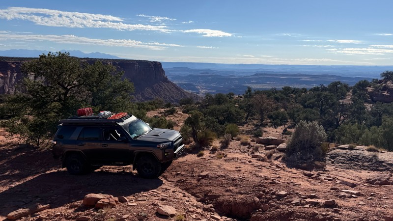
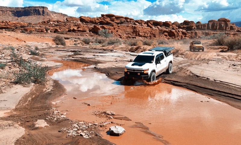
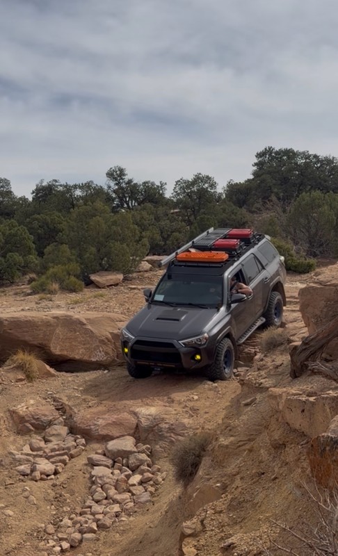
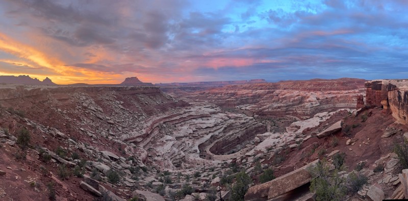
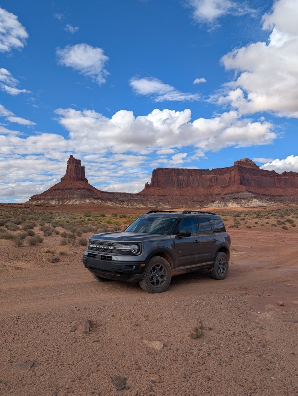
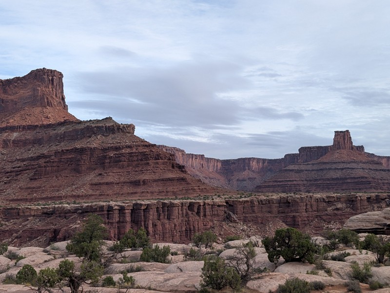
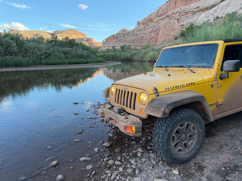
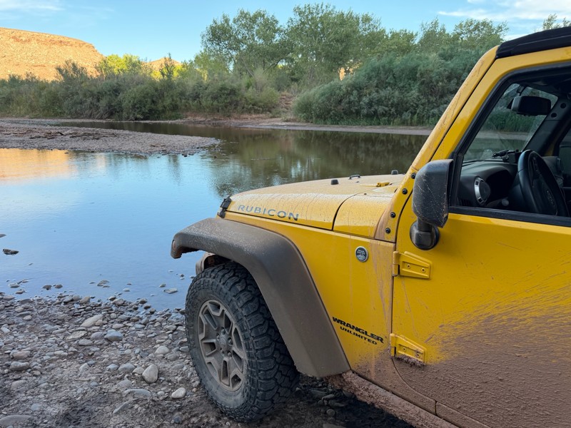
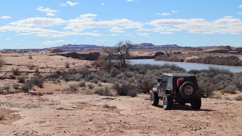
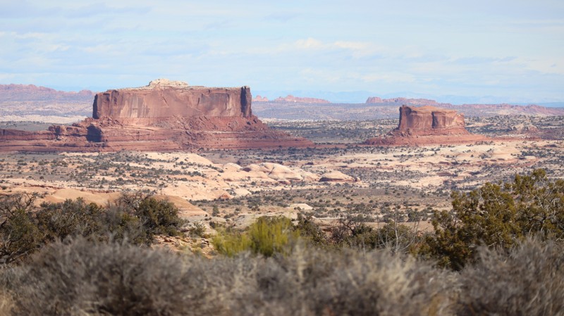
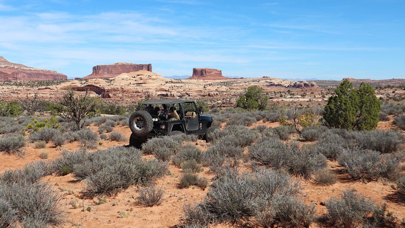
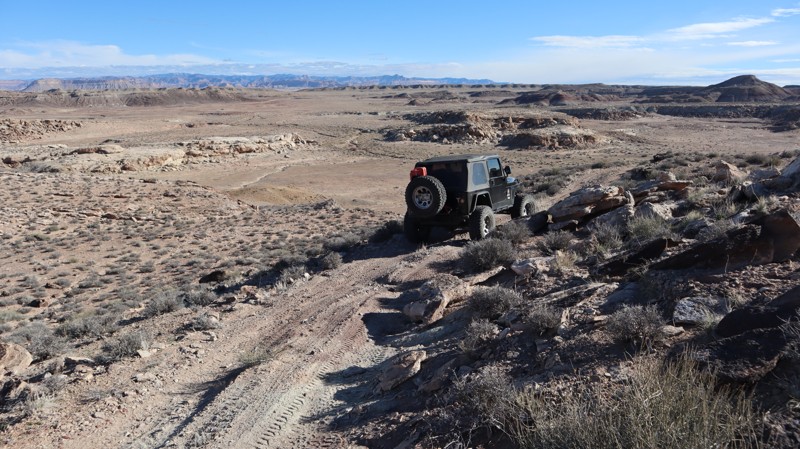
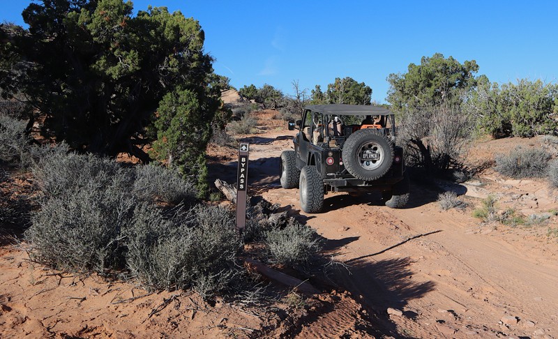
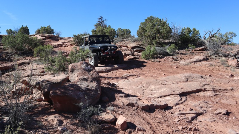
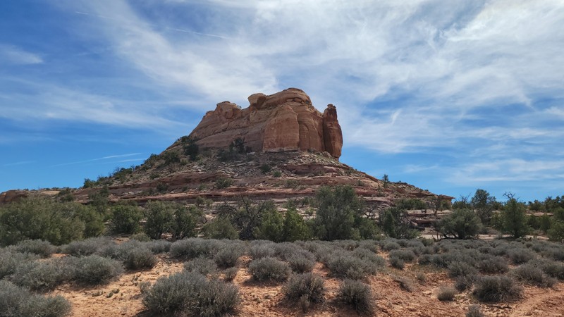
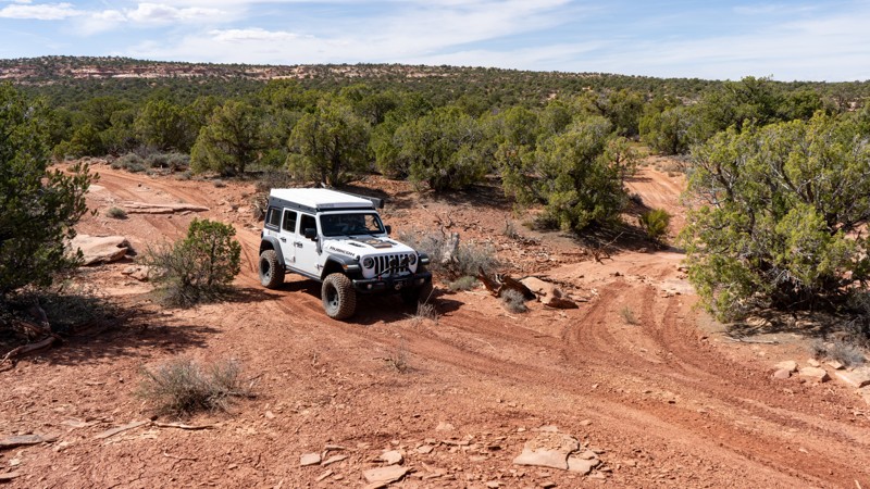
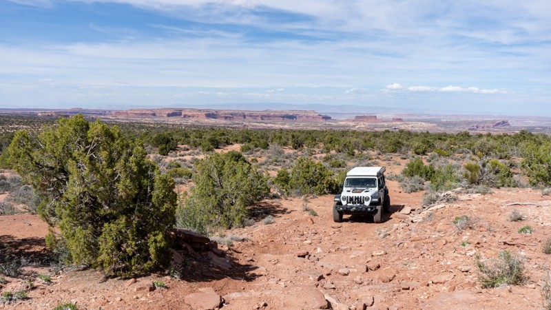
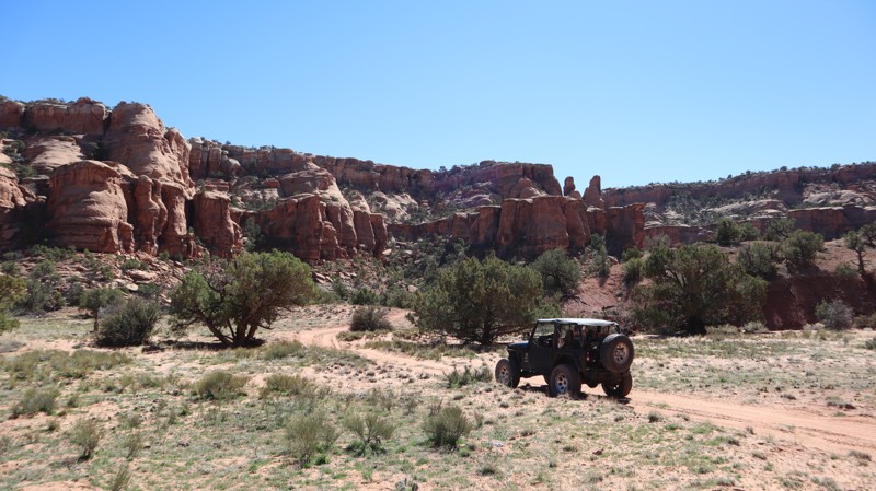
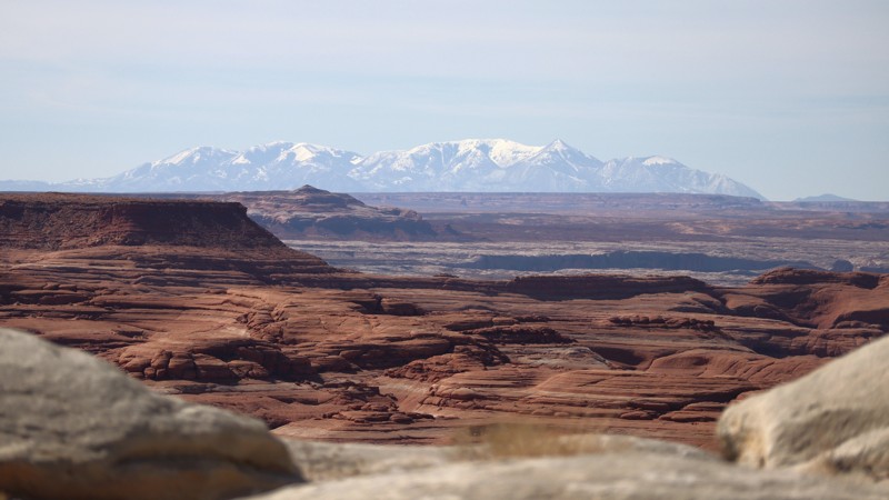
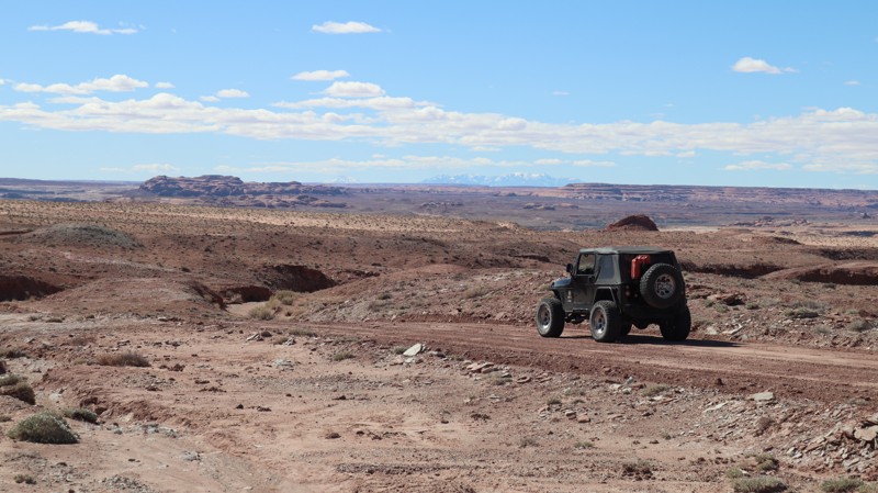
Moab, Utah, is renowned worldwide as a premier destination for offroad enthusiasts. Nestled in the heart of the American Southwest, Moab offers a diverse array of trails that cater to all skill levels. Whether it's an overland or rock crawling adventure you are looking for, this stunning red rock landscape offers 100s of open roads and trails that range from easy to extreme. The area spans over 103,000 square miles and includes lands managed by the Bureau of Land Management, The Manti-La Sal National Forest, Utah State Trust Land, Arches and Canyonlands National Parks, and the Sand Flats Recreation Area.

While the most well-known trails, such as Hell’s Revenge, Fins and Things, Poison Spyder, The White Rim Trail, and the Rimrocker, are typically the main attractions, the area is home to plenty of hidden gems worth exploring.

While visiting and riding the trails, enjoy Arches and Canyonlands National Parks to round out your trip. Plan accordingly because Arches now has a timed entry system from April through November, where you need a permit to enter. It is also important to know that summers can have extreme heat with monsoons, and even though it is a high-plain desert, it can snow in the winter months.

Dispersed camping is limited and only available in designated areas. Each Trails Offroad trail guide lists the various camping opportunities, including BLM’s designated campsites. BLM also manages several campgrounds with vault toilets and picnic tables. Within the town of Moab, you can find various lodging and dining opportunities and repair and maintenance services for your vehicle.


Top Reasons to Explore Here

Basemaps
Go All-Access to Unlock


TRAILS OFFROAD™ TRAIL TYPES
Trail Guide
Full detailed write up with Advanced Rating System, Waypoints, Video, and more.
Scout Route
Lite version with highlights, camping, and hardest part documented. Vetted in person.
TRAIL DIFFICULTY RATINGS
easy (1-2)
Suitable for high clearance 2WD
moderate (3-4)
Best suited for a high clearance 4x4
difficult (5-6)
Best suited for a lightly modified 4x4
severe (7-8)
Best suited for a highly modified 4x4
extreme (9-10)
Best suited for specialized buggy type vehicles
LAYERS

Most Recent Trail Reviews

Most Popular

Search for Trails
Utah: D8210 Hero Photo
Scout Route Icon
5/5 (1 reviews)
Updated: 04/10/2026

D8210

Green River, Utah

Ending on the edge of the sprawling Ruby Ranch, D8210 leads out-and-back to an overlook of the Green River. Branching off of D2930, the rough two-track is almost invisible at times. Crossing large sandstone slabs without trail markers is likely the most difficult part. There are no obstacles or deep washouts. The trail ends above a vertical rock ledge, where you must walk a short distance to climb the red rocks for amazing views of the river and Dellenbaugh Butte. The very end offers a wonderful and picturesque spot to set up a roof-top tent for the night.

Utah: D1972 Hero Photo
Scout Route Icon
2/5 (1 reviews)
Updated: 03/09/2026

D1972

Moab, Utah

Under a mile long, D1972 easily leads out and back to wonderful overlooks and area mountain bike trails. The trail begins with a wide-open prairie, climbs up to the trees, and then passes through a bumpy section of small rocks. The trail ends at an overlook and continuation of the Coney Islands bicycle trail. The trail requires a little extra ground clearance to reach the end, but can be completed in 2WD. Unfortunately, camping is not allowed along this trail.

Utah: D1907 Hero Photo
Scout Route Icon
4/5 (1 reviews)
Updated: 05/01/2026

D1907

Moab, Utah

Far back into a scenic canyon is a lone turnaround campsite. D1907 offers a peaceful, secluded campsite for the adventurous traveler. The trail end can be reached in all stock-type 4x4s and enjoyed by the whole family. The trail is mild in Moab terms, and the camping is secluded. There is one turnaround at the end with room for a couple of vehicles with tents. 

Utah: D1740 Hero Photo
Scout Route Icon
1/5 (1 reviews)
Updated: 04/10/2026

D1740

Moab, Utah

An overgrown tight trail, without much room to turn around or camp at the end. D1740 once traveled about twice as far as it currently does. It now travels across lush restoration land, before ending at a fence line with a small turnaround spot. If you choose to camp there, keep in mind visitors are now forced to turn around in your campsite. There are no obstacles, just a brusy, and sandy two-track.

Utah: D1661 Hero Photo
Scout Route Icon
2/5 (1 reviews)
Updated: 05/20/2026

D1661

Moab, Utah

1661 is a nondescript spur directly off Highway 313. It begins on State Trust Land before transitioning onto BLM-managed land. Along the route, there are a handful of previously disturbed campsites suitable for small setups.

While the road is listed as easy, high clearance is still recommended. There is clear evidence that rain can quickly damage the road, so use good judgment before driving on it, especially during or after wet weather.

Utah: D3114 Hero Photo
Scout Route Icon
3/5 (1 reviews)
Updated: 04/10/2026

D3114

Green River, Utah

It's a wonder anything can survive in this barren and unforgiving landscape. The dirt is like powder, the rocks are jagged, and no signs of vegetation. Connecting Salt Wash Trail and Salt Washington North, D3114 is a rugged crossover with a few moderate challenges for stock-type 4x4s. There are ledges 12-16" tall, and a loose rock hill requiring a little extra confidence and momentum. The hill climb is steep and off-chamber; taking the short, steep bypass halfway up is the safest route. The 1.7-mile trail can be completed in approximately 30 minutes, and no camping is found along the rugged terrain.

Utah: D3012 Hero Photo
Scout Route Icon
5/5 (1 reviews)
Updated: 04/10/2026

D3012

Green River, Utah

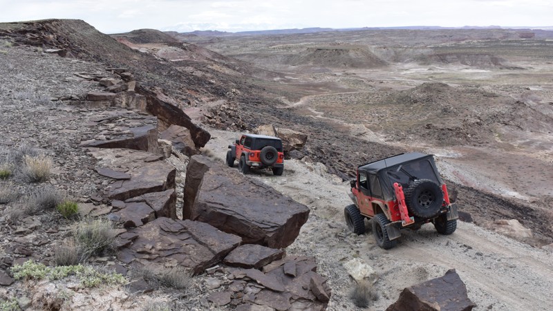
Also known as Dee Pass Road, D3012, is a historic tour of the area's booming uranium mining during the 1940's. Driven by the war effort, uranium was mined in the area, and numerous camps of various degrees were set up in this ruggedly dry landscape. D3012 is a short detour from Dee Pass, an excellent historic addition to a challenging 4x4 tour of the area. There are no large obstacles, but the trail has a tippy, off-camber dirt hill with large loose boulders. Durable tires, low-range 4x4, and high-clearance are required.

Utah: D3044 Hero Photo
Scout Route Icon
4/5 (1 reviews)
Updated: 04/10/2026

D3044

Green River, Utah

Impressive 360° views can be found at the end of this short but bumpy climb. What appears to be mine tailings, the entire hill is comprised of dirt and fractured rock shards of various colors. All the way to the summit, the crystal-looking stone can be found everywhere. Reaching the summit requires 4x4, durable tires, and steady nerves on the narrow off-chamber traverse. Once at the windy summit, the expansive views are worth the little effort. Unfortunately, no campsites are found along this rugged dead-end.

Utah: D1486 Hero Photo
Scout Route Icon
2/5 (1 reviews)
Updated: 05/01/2026

D1486

Moab, Utah

Known as the easier bypass around the sand hill on D1266A, this short looping two-track offers a less technical alternative while still providing a mildly rugged backcountry experience. The route twists through scattered trees, crosses a few small rock ledges, and climbs a bumpy but manageable incline before looping back to the main trail. While easier than D1266A, the trail still requires high-clearance 4WD and durable tires due to the rocky, uneven surface. About halfway around the loop, a single campsite offers room for a couple of vehicles with tents and wide views of the surrounding buttes, making this a worthwhile detour for drivers looking to avoid the harder sand obstacle or claim a scenic camp spot.

Utah: D1845 Hero Photo
Scout Route Icon
3/5 (1 reviews)
Updated: 05/01/2026

D1845

Moab, Utah

At the upper limits of "moderate," D1845 can be considered an addition to the end of Metal Masher or a stand-alone, fun, short trail. The trail continues the rock-ledge theme, featuring obstacles for both stock and modified vehicles. The ledges are both up and down, with the hill at the west end being the most difficult. The ledges are 12-24" tall and on a loose dirt hill. Durable tires, high ground clearance, and skid-plate protection are required.

Utah: D1906 Hero Photo
Scout Route Icon
2/5 (1 reviews)
Updated: 05/01/2026

D1906

Moab, Utah

Easily leading out-and-back to an overlook of 7-Up Canyon, D1906 is a dead-end sandy two-track. The trail travels along a scenic rocky butte before abruptly ending at a nondescript viewpoint. The trail is a mix of sand and dirt, with the sand becoming very soft on summer days. There is no camping along this trail. Camping can be found at the end of D1907. 

Utah: D1660 Hero Photo
Scout Route Icon
2/5 (1 reviews)
Updated: 05/20/2026

D1660

Moab, Utah

D1660 begins near Highway 313, initially skirting around an oil and gas facility before eventually dead-ending at another. Along the way, the trail passes through an interesting landscape of twisted, knotted trees and noticeably redder soil as it drops into a shallow ravine.

The route includes a few ledges, V-notches, and short climbs, but overall, it remains non-technical. There is no camping along this trail.

Utah: D1657B Hero Photo
Scout Route Icon
4/5 (1 reviews)
Updated: 05/20/2026

D1657B

Moab, Utah

D1657B provides an alternate way onto or off of Bull Point. It is a short route that travels through the pinyon.

North of D1660, the trail includes several moderate-rated obstacles to work through. South of D1660, there is one ledge obstacle that would be considered difficult and requires a well-built vehicle to manage, though a bypass is available.

At the north end, where D1657B intersects with Bull Point, there is a good-sized campsite. However, the site does have a view of the nearby gas facility.

Utah: D1783 Hero Photo
Scout Route Icon
1/5 (1 reviews)
Updated: 04/10/2026

D1783

Moab, Utah

D1783 is a very short dead-end to a small turn around in a dry wash. There is no camping found along the route and the trail can be completed in 2WD high-clearance vehicles.

Utah: D2997 Hero Photo
Scout Route Icon
4/5 (1 reviews)
Updated: 04/10/2026

D2997

Green River, Utah

In the 1940s, uranium was a vital wartime commodity, and D2997 was used to access many of the mines scattered throughout this area. Today, the trail crosses a rugged desert landscape with sweeping panoramic views, including an overlook of the White Wash Dunes area. The route is rough and features numerous moderate obstacles, including loose rock ledges 16 to 24 inches tall, steep dirt hills, and scattered softball-sized boulders. High ground clearance, durable off-road tires, and a capable 4WD vehicle are recommended. There are no established campsites along the road.

Utah: D3002 Hero Photo
Scout Route Icon
4/5 (1 reviews)
Updated: 04/10/2026

D3002

Green River, Utah

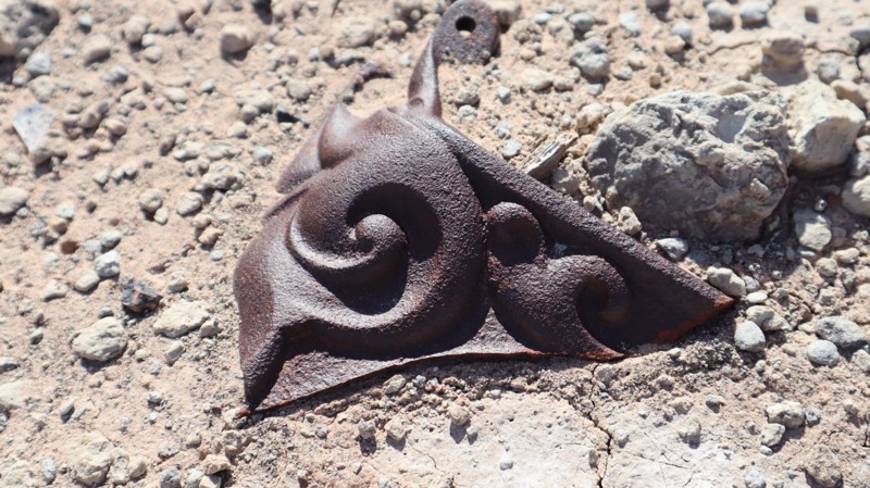
Branching off of D2996, D3002 is a short dead-end to an old uranium mining camp with interesting artifacts left behind. Old cast iron stoves, boot soles, glassware, and falling down buildings are all left for the curious to discover. The short, bumpy two-track is easy enough for stock 4x4s with high ground clearance and durable tires. Avoid driving too far into the site to help prevent tire punctures by old rusty nails. Please help preserve the site and avoid camping at the mine site.

Utah: Orange Trail Shelf Road Hero Photo
Scout Route Icon
4/5 (2 reviews)
Updated: 01/12/2026

Orange Trail Shelf Road

Green River, Utah

Orange Trail Shelf Road is a short, moderate spur road off of Orange Trail. At the trailhead, it can look like a simple cattle track across open prairie, but it quickly transitions into a narrow descent that opens up valley views to the south. This spur serves as an alternate access point to the Orange Trail, linking travel between Salt Wash North and the Crystal Geyser Jeep Trail area. The narrow passage down a tight shelf road adds a bit of excitement to an otherwise mundane trail. The difficulty of this trail comes from the exposure. Full-width vehicles such as 1-ton pickups, vans, and vehicles towing trailers should avoid this trail. Otherwise, the trail is suitable for any high clearance vehicle.
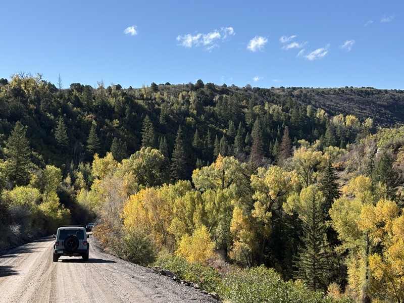
Camping is not suitable along this trail, but can be found on many nearby roads.
Utah: Ruby Ranch Wells Road Hero Photo
Scout Route Icon
1/5 (1 reviews)
Updated: 04/10/2026

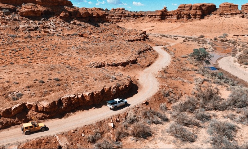
Ruby Ranch Wells Road

Green River, Utah

Circling around the well site for the nearby Ruby Ranch, this easy-graded road has distant views of the Green River and private ranch valley. In dry conditions, the sandy road can be traveled in 2WD high clearance vehicles. The trail connects easily with D2930, a scenic out-and-back trail that ends near the Green River. The best nearby camping can be found along Ruby Ranch Road.