



By clicking "ACCEPT", you agree to be the terms and conditions of each policy linked to above. You also agree to the storing of cookies on your device to facilitate the operation and functionality of our site, enhance and customize your user experience, and to analyze how our site is used.
South Dakota Off-Road Trails
11
Total Trail Guides 9

109
Detailed Waypoints 86
Try a Free 7-Day Trial and unlock it all
Start a Free Trial Most Recent Trail Reviews
No Rating
Open
Visited: 09/22/2026
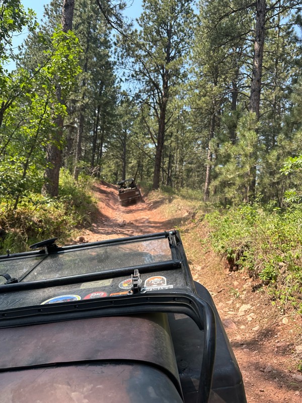
As others mentioned, the trail splits to get around mud holes or for a more scenic view. We did it after a few days of rain and the very last section at the top was too muddy to add more tracks to. I...

DT
Deb Thelen
Rated 5/5
Open
Visited: 09/17/2026
As stated by other, just rough and rocks near the east end, can warm you up for got milk
A
Alex
Rated 5/5
Open
Visited: 09/17/2026
Nice warm up trail for got milk, some bigger rocks sticking out of ground that can rub axles if not careful
A
Alex
Rated 5/5
Open
Visited: 09/17/2026
Only major obstacle was a switch back going up hill, was easier than I thought
A
Alex
Rated 5/5
Open
Visited: 09/16/2026
Came from the north to drive south to get to the retired mine, it was just a maintained gravel road, found minor washboard, had a 2015 gmc Acadia
A
Alex
Rated 5/5
Open
Visited: 09/15/2026
It wasn’t that demanding of trail, pick a good line for tougher rock sections and be no issues,
A
Alex
Rated 5/5
Open
Visited: 09/15/2026
Intersected this trail from FS 028, heading south, sections of rocks, nothing massive, near the southern end of trail there was two options, unsure if official are not, it did appear to be challenging...
A
Alex
Rated 5/5
Open
Visited: 09/14/2026
Went south to north on this trail, would recommend this direction for a more challenging ascent than going north to south. There was just one big rock to go around while climbing up, nothing too diffi...
A
Alex
Rated 5/5
Open
Visited: 09/14/2026
Slightly worse gravel road, a mercury grand marquis could drive it
A
Alex
Rated 4/5
Open
Visited: 08/29/2026
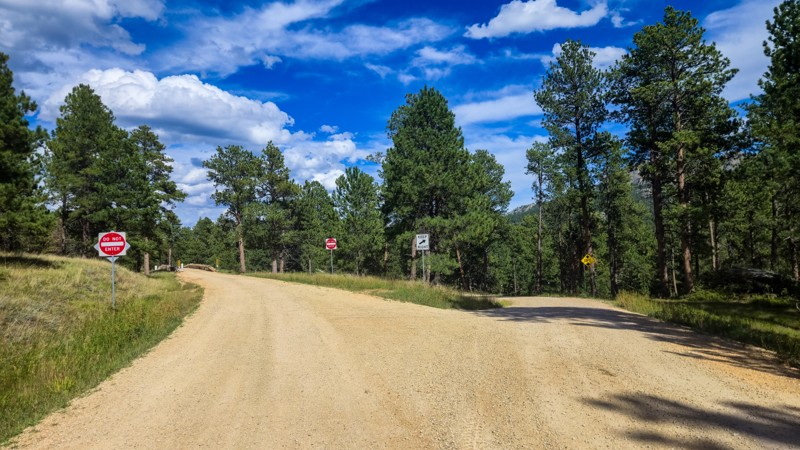
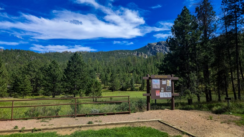
I love driving Palmer Creek Road. It's mellow and so scenic and I find the bridge and rock split neat features that they did not have to include. Make sure to stop and find the Harney Watchtower at ...
Dalton Santana
Official Crew
Rated 3/5
Open
Visited: 08/14/2026
This road has been recently graded and is now pretty smooth the whole way. The water crossing and rocky steps are gone now.
Dalton Santana
Official Crew
No Rating
Open
Visited: 08/11/2026
Per the MVUM, the trail is seasonally open. As always, check current fire restrictions/closures before venturing out.

Trails Offroad
Official Crew
No Rating
Open
Visited: 08/11/2026
Per the MVUM, the trail is seasonally open. As always, check current fire restrictions/closures before venturing out.
Trails Offroad
Official Crew
No Rating
Open
Visited: 08/11/2026
Per the MVUM, the trail is seasonally open. As always, check current fire restrictions/closures before venturing out.
Trails Offroad
Official Crew
No Rating
Open
Visited: 08/11/2026
Per the MVUM, the trail is seasonally open. As always, check current fire restrictions/closures before venturing out.
Trails Offroad
Official Crew
No Rating
Open
Visited: 08/11/2026
Per the MVUM, the trail is seasonally open. As always, check current fire restrictions/closures before venturing out.
Trails Offroad
Official Crew
No Rating
Open
Visited: 08/11/2026
Per the MVUM, the trail is seasonally open. As always, check current fire restrictions/closures before venturing out.
Trails Offroad
Official Crew
No Rating
Open
Visited: 08/11/2026
Per the MVUM, the trail is seasonally open. As always, check current fire restrictions/closures before venturing out.
Trails Offroad
Official Crew
No Rating
Open
Visited: 08/11/2026
Per the MVUM, the trail is seasonally open. As always, check current fire restrictions/closures before venturing out.
Trails Offroad
Official Crew
No Rating
Open
Visited: 08/11/2026
Per the MVUM, the trail is seasonally open. As always, check current fire restrictions/closures before venturing out.
Trails Offroad
Official Crew
No Rating
Open
Visited: 08/11/2026
Per the MVUM, the trail is seasonally open. As always, check current fire restrictions/closures before venturing out.
Trails Offroad
Official Crew
No Rating
Open
Visited: 08/11/2026
Per the MVUM, the trail is seasonally open. As always, check current fire restrictions/closures before venturing out.
Trails Offroad
Official Crew
No Rating
Open
Visited: 08/11/2026
Per the MVUM, the trail is seasonally open. As always, check current fire restrictions/closures before venturing out.
Trails Offroad
Official Crew
No Rating
Open
Visited: 08/11/2026
Per the MVUM, the trail is seasonally open. As always, check current fire restrictions/closures before venturing out.
Trails Offroad
Official Crew
No Rating
Open
Visited: 08/11/2026
Per the MVUM, the trail is seasonally open. As always, check current fire restrictions/closures before venturing out.
Trails Offroad
Official Crew
No Rating
Open
Visited: 08/11/2026
Per the MVUM, the trail is seasonally open. As always, check current fire restrictions/closures before venturing out.
Trails Offroad
Official Crew
No Rating
Open
Visited: 08/11/2026
Per the MVUM, the trail is seasonally open. As always, check current fire restrictions/closures before venturing out.
Trails Offroad
Official Crew
No Rating
Open
Visited: 08/11/2026
Per the MVUM, the trail is seasonally open. As always, check current fire restrictions/closures before venturing out.
Trails Offroad
Official Crew
No Rating
Open
Visited: 08/11/2026
Per the MVUM, the trail is seasonally open. As always, check current fire restrictions/closures before venturing out.
Trails Offroad
Official Crew
No Rating
Open
Visited: 08/11/2026
Per the MVUM, the trail is seasonally open. As always, check current fire restrictions/closures before venturing out.
Trails Offroad
Official Crew
No Rating
Open
Visited: 08/11/2026
Per the MVUM, the trail is seasonally open. As always, check current fire restrictions/closures before venturing out.
Trails Offroad
Official Crew
No Rating
Open
Visited: 08/11/2026
Per the MVUM, the trail is seasonally open. As always, check current fire restrictions/closures before venturing out.
Trails Offroad
Official Crew
No Rating
Open
Visited: 08/11/2026
Per the MVUM, the trail is seasonally open. As always, check current fire restrictions/closures before venturing out.
Trails Offroad
Official Crew
No Rating
Open
Visited: 08/11/2026
Per the MVUM, the trail is seasonally open. As always, check current fire restrictions/closures before venturing out.
Trails Offroad
Official Crew
No Rating
Open
Visited: 08/11/2026
Per the MVUM, the trail is seasonally open. As always, check current fire restrictions/closures before venturing out.
Trails Offroad
Official Crew
Rated 3/5
Open
Visited: 08/01/2026
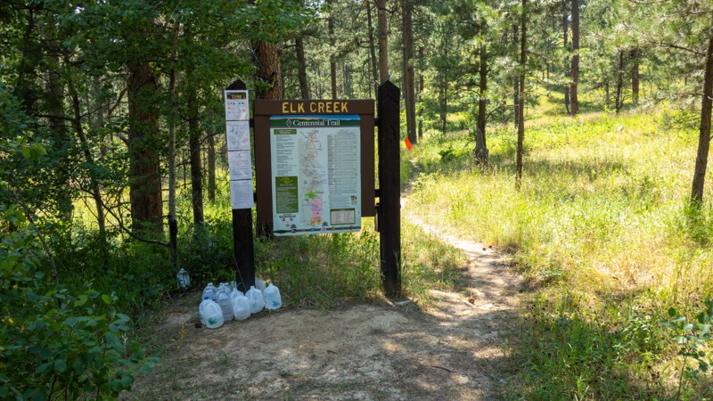
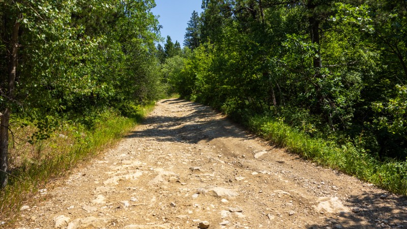
I found the "Grand Canyon of the Black Hills" a bit underwhelming, as it is difficult to get a good view of it through the trees. The walk down was steep and rocky and had obviously been driven by ve...
Dalton Santana
Official Crew
Rated 4/5
Open
Visited: 08/01/2026
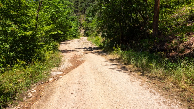
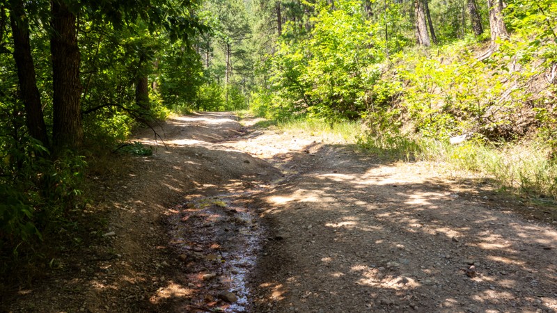
Bethlehem Road is a nice little gem of a trail. It can be deceiving if you are not prepared for the rock fields, as the rest of the trail is pretty easy going. The waterfall was pretty thin during t...
Dalton Santana
Official Crew
Rated 3/5
Open
Visited: 08/01/2026
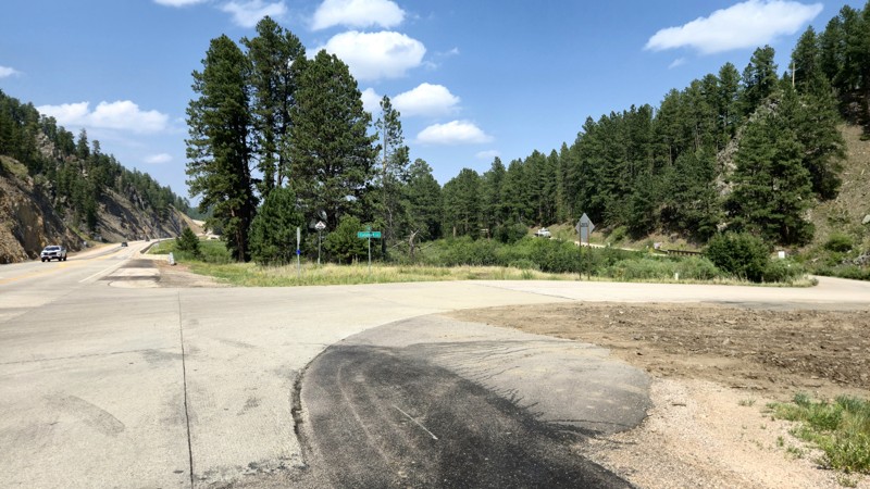
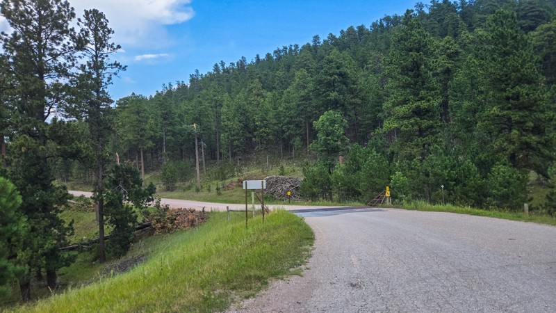
Calumet Road is well maintained, and the route itself does not provide any challenge, but it's a good cut across to get off the pavement and access to the lake and campground is very useful.
Dalton Santana
Official Crew
Dalton Santana
Official Crew
Rated 5/5
Open
Visited: 07/22/2026
We did this trail in stock flat fender Willys with Lockers. Awesome trail.
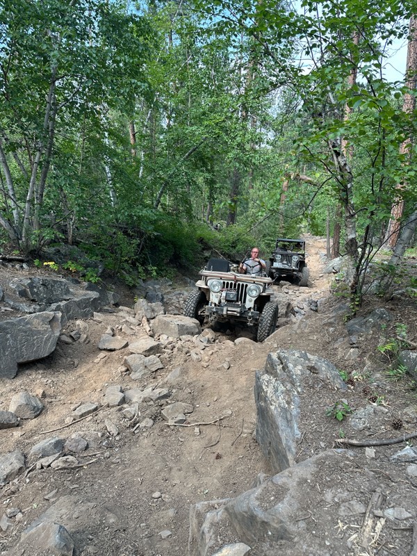
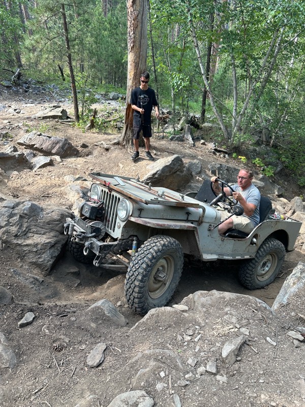
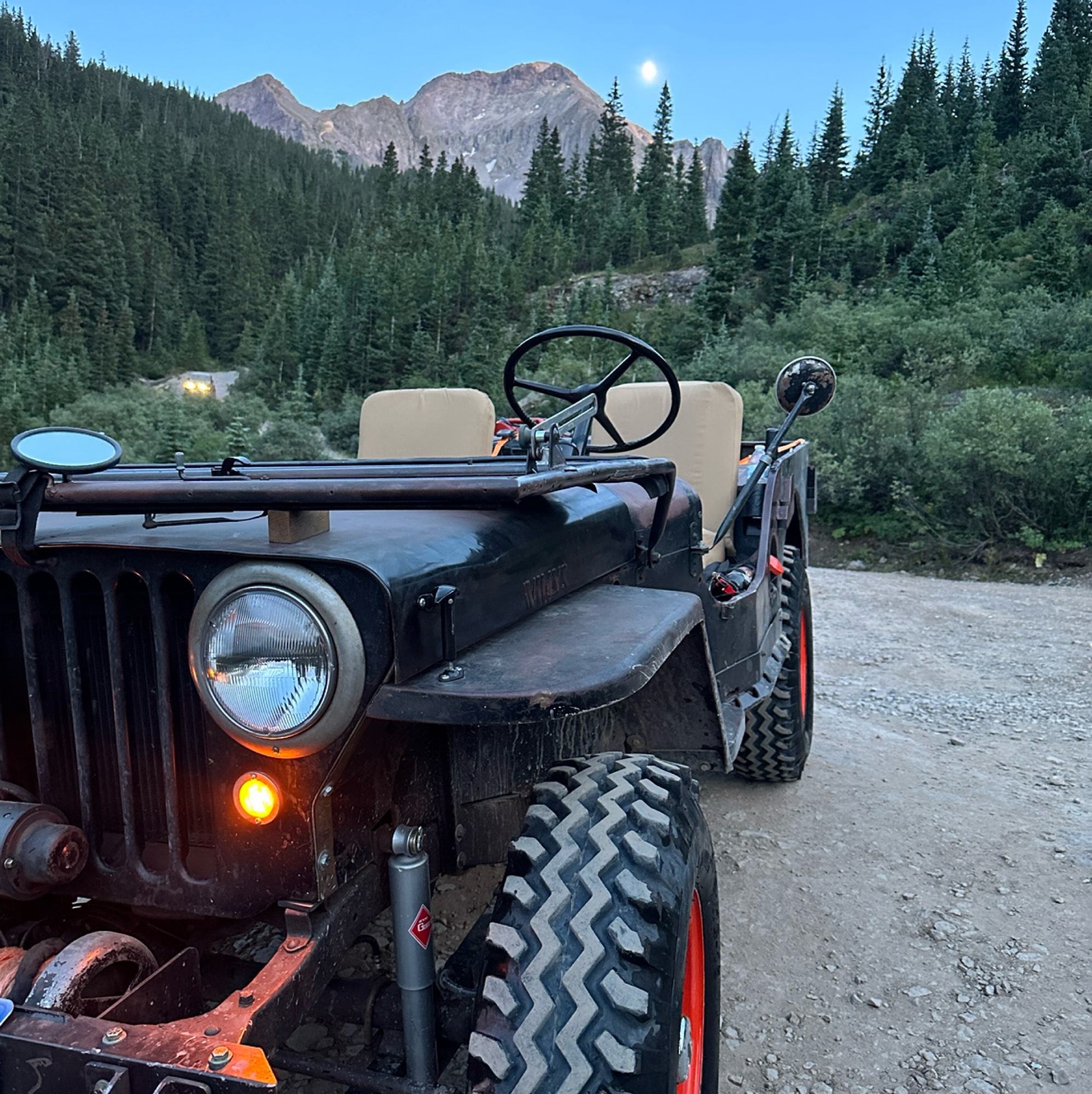
Mark Hansen
Mark Hansen
No Rating
Open
Visited: 07/20/2026
Ran this in my Stocker
Locker Willys on 7.50-16 tires. Had to winch once. Trail
Is extreme. Expect body damage. Bent my windshield. Bent my fuel filler. Rubbed my rockers skid plates.
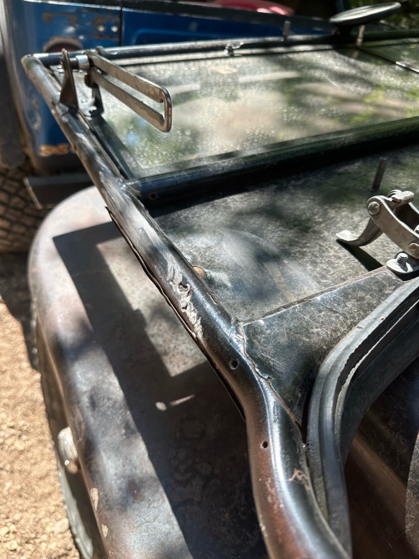
Mark Hansen
Rated 3/5
Open
Visited: 07/04/2026
Easy run. had hopes it would open up for a scenic look. it really didnt. but we did not do the full east loop.
Joe
Rated 5/5
Open
Visited: 07/04/2026
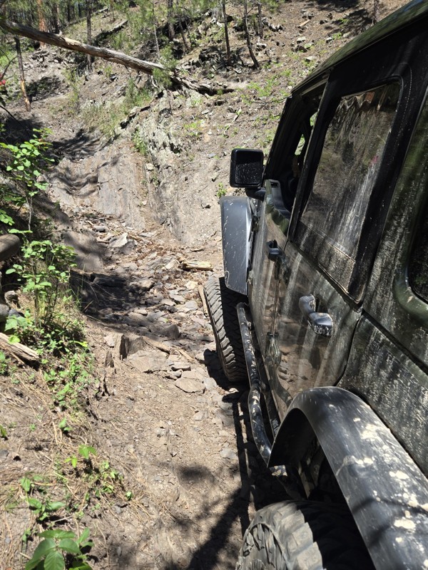
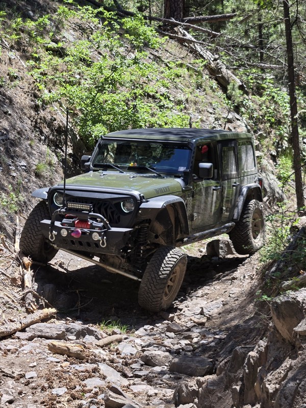
Great trail, had fun running this tight windy rough steep climb. has some surprises, tight turns, bigger rocks.
Joe
Joe
Rated 5/5
Open
Visited: 07/04/2026
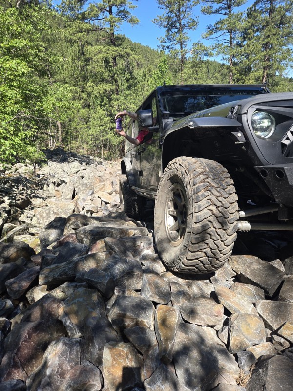
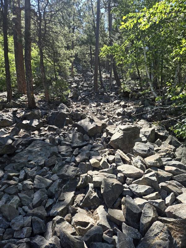
Tougher demanding trail. pay attention to everything. absolute blast to do. technical in spots. know your rig, watch for trees. The description is close. it's a serious Badge of Honor Trail. not...
Joe
Most Popular

Updated: 12/08/2025
China Gulch Road
Hill City, South Dakota
The beauty of the Black Hills National Forest is on display as you travel along China Gulch Road. The road begins in the China Gulch and ends as it proceeds through the more rugged and popular Nugget Gulch. This easy forested road displays an abundance of wildflowers and mature pine trees. Creek crossings are always a favorite feature for an off-pavement adventure and several can be found near the north end of this road.


Updated: 09/16/2025
Camp 5
Open
/
Deadwood, South Dakota/
3.98 miles/
About 2 hours
Nestled midway between Deadwood and Sturgis, Camp 5 is the ultimate gateway to over 10 miles of adrenaline-pumping rock-crawling, 4x4, and OHV trails. Offering a small taste of what can be found along its neighboring trails, Camp 5 marches you into a broader network, where you will find trails twisting through creek beds, threading past boulder fields, and scaling natural waterfalls. Trails in this area draw in local 4x4 clubs, rock-crawling diehards, and thrill-seekers from across the country who are eager to test the limits of their skills and machines.

Updated: 06/05/2022
Lightning Creek Road
Custer, South Dakota
A well-groomed forest helps define Lightning Creek Road from start to finish. This scenic drive through the lush terrain sports an abundance of wildflowers, wildlife, and mature pine trees. The forest here is an example of what can be done to reduce the risk of forest fires and beetle kill infestation while creating a visually stimulating view. Near the north end of the route, you will be treated to a magnificent view of the Black Hills and the Crazy Horse Memorial in the distance.

Updated: 09/16/2025
Fruity Pebbles
Open
/
Merritt, South Dakota/
0.67 miles/
About an hour
Located in the Cereal Bowl Trail System, Fruity Pebbles is a poster child for the technical type of rock crawling the Black Hills of South Dakota is widely known for. Unlike the sweetened breakfast cereal, this trail is not easy to chew and does not soften itself for ill-prepared vehicles. You will not be offered any bypasses or bailout routes once you enter this trail. Weak links will be exposed as you carefully attempt to navigate your way through not one but two chaotic minefields of sharp, loose, jagged rocks the size of kitchen appliances. Be sure to bring a proper spoon because devouring this trail will take a good utensil.

Updated: 06/20/2024
Williams Draw
Hill City, South Dakota
Williams Draw is an easy drive that takes you from Deerfield Lake to the Four Corners area in the beautiful Black Hills. Four Corners is a central location in the large network of other, less maintained, offroad trails. This makes Williams Draw one of the direct routes to the center of the trail network. If your looking to explore in the central Black Hills then Williams Draw is an excellent place to start

Updated: 09/26/2026
Dugan's Prospect
Three Forks, South Dakota
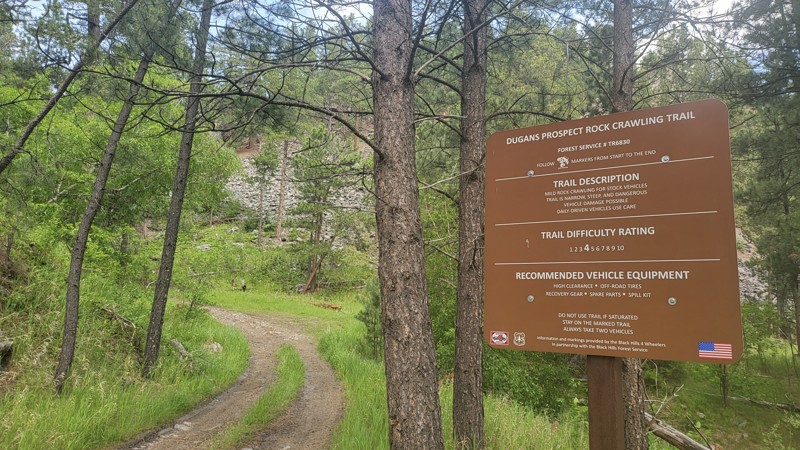
Dugan's Prospect is a there-and-back rock crawling trail located off U.S. Highway 385 across from the Sheridan Lake Fishing Pier. Dugan's Prospect is rated a 4 out of 10 by the Black Hills 4 Wheelers Club. It is suitable for stock vehicles with high clearance and off-road tires. The trail is steep, narrow in several sections, and very rocky throughout.
Camping is limited on Dugan's Prospect. A small grassy area can be found just after the trail entrance sign, suitable for a ground tent and possibly a vehicle-mounted tent or small trailer. Motor vehicles may go up to 300 feet off of the road in the Black Hills National Forest to camp. However, campfires are not allowed.
Shortly after the entrance to Dugan's Prospect, a barbed-wire gate blocks the trail. Open it to pass through and close it behind you. The path starts climbing and is covered in smaller jagged rocks with trees tight to either side. The rocks will grow in size as you go up the trail. There are also washouts with ruts in the climb. The trail smooths out until the last 1/8th of a mile.
This last section descends into a canyon with several large rocks and downed trees to navigate around and over. Once at the bottom, turn around and head back the way you came. The bottom is the official end of the trail. There are tracks from others who continued toward the nearby house, but this is private property and is off-trail, so make sure to stay on the marked route.
Updated: 09/23/2026
Sheep Mountain Road
Scenic, South Dakota
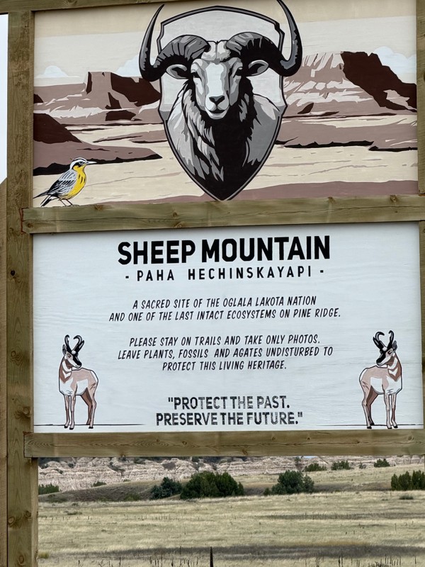
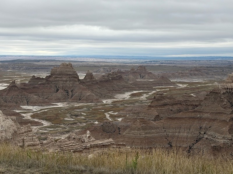
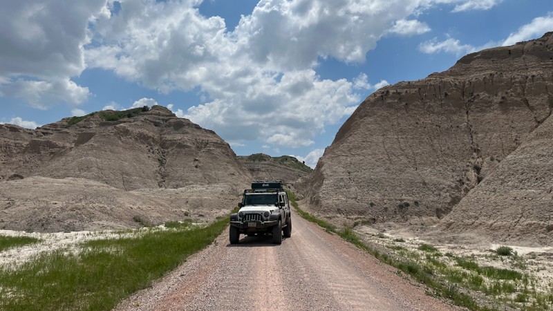
Sheep Mountain Road is on the eastern edge of Badlands National Park north of Pennington, South Dakota. The 7.27-mile out-and-back trail runs deep into the otherworldly landscapes of the Badlands. Sitting atop Sheep Mountain Table, pullouts offer stunning, panoramic views of the ruggedly eroded geology below. There are also opportunities for exploring further into the wilderness, with several hiking trails along the way.
The trail begins as a maintained gravel road at the trailhead but turns into a two-track trail about 2 miles in. Deep-cut ruts in the trail make having a 4-wheel drive vehicle with high clearance necessary, especially after a storm rolls through and makes the trail muddy.
Unfortunately, there is no camping allowed along the trail. But there are established campgrounds within Badlands National Park closer to Wall, South Dakota, approximately 40 miles away.
Updated: 05/12/2025
Railroad Buttes #503
Creston, South Dakota
Just outside the small community of Farmingdale, about 20 minutes east of Rapid City on Highway 44, is a wonderful playground for off-roading. Turn south from Highway 44 on 160th Ave. You will know you are in the right place when you reach a large dirt parking area with a pit toilet. There is plenty of room for campers and trailers in this lot, and many elect to set up right here if staying the night. Bring water and resources, as there are no hookups or amenities besides the toilet. Dispersed camping is allowed throughout the Railroad Buttes OHV area, but there is little shade or suitable trailer parking elsewhere. The area is popular with dirt bikes and includes multiple small dirt bike tracks and many single-track paths. Railroad Buttes is open year-round. However, it is best run when dry, as the clay turns into very slick "gumbo" after rain or snowmelt. In regular conditions, 503 and other trails in this area can be run with any stock 4x4 with decent ground clearance.
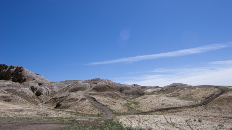
To access 503, head out of the parking area, across 160th Ave, and pass through the cattle gate. The actual "Railroad Buttes" can be seen rising from the prairie past the gate. Follow the main trail, marked by signs bearing 503 and directional arrows. There are a few easily visible alternative paths up to the top. Railroad Buttes is an open off-roading area, so feel free to try them out if so inclined, but some are more suited for narrow vehicles and dirt bikes.
At the top, the path becomes rocky with a couple of small steps and baby-head rocks, but they are short-lived. Looking back west, the beautiful Black Hills, topped by Black Elk Peak, are readily visible. Soon after, the trail crosses small but steep rolling hills, which feel like an off-road rollercoaster. This area looks like a mini version of Badlands National Park, located about 30 minutes east. If you follow an older map, you may notice the trail signs deviate from the maps. Wash-outs and erosion caused the Forest Service to change the trail. The maps haven't caught up yet. Follow the signs as the trail goes out into the rolling prairie before returning to the Mars-like terrain. Pay attention; certain areas are washed out, narrow, or have ruts, cracks, and crevices. 503 can be run out and back, or you can spur off onto one of the other trails in the area, several of which circles back to 160th Ave.
Updated: 08/11/2026
Boles Canyon
Hanna, South Dakota
Boles Canyon is an easy, 38-mile, well-maintained dirt road traveling through the western side of the Black Hills. The road travels north and south, connecting Highway 85 just east of O'Neil Pass and Highway 16 a little east of Newcastle, Wyoming. The road surface is mainly hard-packed dirt and gravel and is generally extremely dusty. You pass through many forest sections and plenty of ranchland. Considering the amount of broad-leaf trees, fall colors should be exceptional along the road. The northern 23 miles of the road are seasonal and only open May 15th - December 15th, while the southern 15 miles are open year-round. This is a popular elk hunting road in the fall.
Dispersed camping is widely available on Forest Service land, and there are many flat, open opportunities to pitch camp. However, finding previously disturbed campsites is few and far between. Please be aware that per Forest Order BKF-146-2019, campfires are not permitted unless the fire is in an established fire ring constructed and approved by a public agency in a designated recreation area. A forest service-run campground can be found a short distance from Road 117.1 at Redbank Springs, where picnic tables, fire rings, and outhouses can be utilized for a nightly fee.

Updated: 05/14/2025
Iceman
Piedmont, South Dakota
Located just outside Rapid City, Iceman is one of the Black Hills’ premier rock-crawling trails, famous for its towering canyon walls, vibrant vegetation, and relentless rock challenges. This local favorite puts drivers to the test with a series of 2- to 3-foot ledges and waterfalls as you work your way down to the mouth of South Stagebarn Canyon. And just when you think you’ve conquered it, the out-and-back layout serves up every obstacle a second time, this time on the climb out. If you’re searching for a trail that’s equal parts technical and scenic, Iceman is the perfect double-dose of adventure you’ve been looking for.
Updated: 10/06/2025
Piedmont
Piedmont, South Dakota
Piedmont, Forestry Road 144, is a year-round trail between the towns of Piedmont and Nemo. There are several seasonal trails that branch off the main road. This road can be run either direction, but for the best view, start off Main Street in Piedmont. This will frame the lonely Bear Butte in your windshield as you climb the shelf road up the hill.
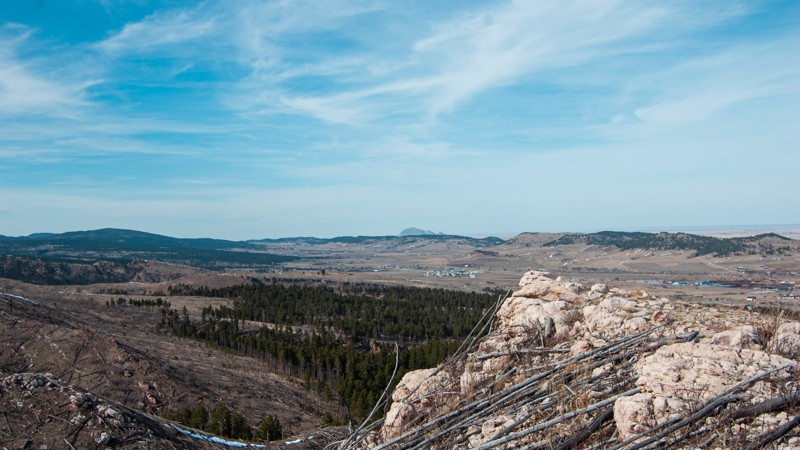
The eastern trailhead has a staging area. Just before the trail is a large gravel parking area to unload machines if you trailered in. Expect mud if it recently rained. The trail turns rocky quickly, passing through an exposed hillside once ravaged by a fire. The trail heads into the trees, and the rocks turn into manageable ruts as it takes you down the other side of the hill. The trail turns to a gravel road at the intersection with FR 266, which heads to Dalton Lake. The trail ends in the town of Nemo.
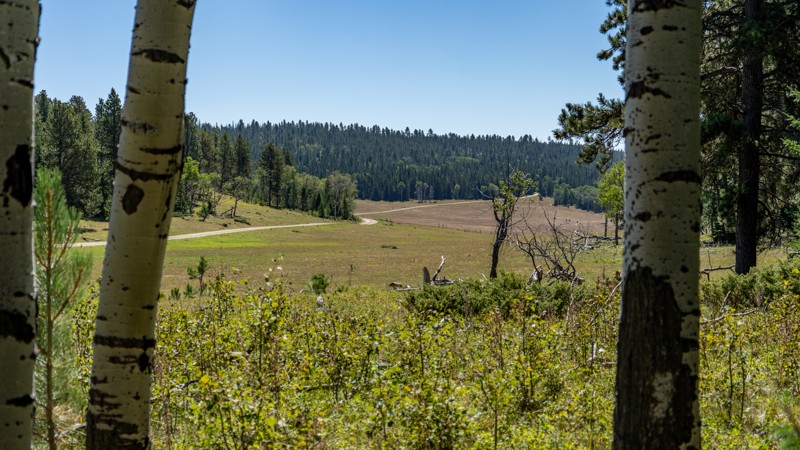
Dispersed camping is allowed in the Black Hills National Forest as long as you are 100 feet from a creek and 1/2 mile from developed sights. Campfires are not allowed. There are several areas along Piedmont to throw down a tent or park an overland vehicle or two. The area pictured is in the trees west of the shelf road.
Updated: 05/20/2025
Custer Peak
Brownsville, South Dakota
Custer Peak is home to the Custer Peak Lookout Tower, a fire watch tower originally built in 1911. Custer Peak begins off Highway 385, about 10 miles south of the town of Lead. FR-216 is a well-maintained gravel road until closer to the summit.
The trail passes Mystic Hills Hideaway and Campground. While dispersed camping is allowed in the Black Hills National Forest, there are no good spots along Custer Peak Road, and there is no camping allowed at the peak. Mystic Hills Hideaway features 12 cabins and rental units and 70 full hookup sites, including big rig campsites capable of accommodating toy haulers and large RVs and camping spots reserved for summer-long campers.
To reach the peak, continue past Mystic Hills Hideaway until FR-216 merges into FR-216.2 While still Custer Peak Road, FR-216.2 is noticeably rougher with moderately steep inclines, ledges, and loose softball to football-sized rocks. At the top, there's a small parking area with a portable toilet. A short hike on the nearby well-marked trail takes you to the tower with a 360-degree view of the surrounding Black Hills.

Updated: 09/04/2024
Polo Peak
Deadwood, South Dakota
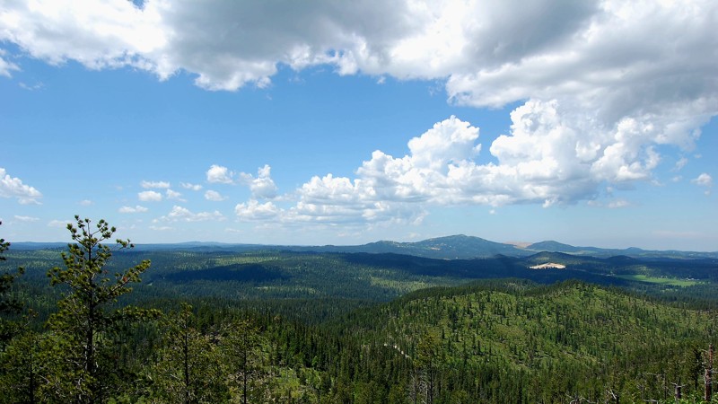
"The trails are either maintained forest access roads or super challenging offroad trails" may be a sentence you've heard summarizing the Black Hills, but Polo Peak is undoubtedly one of the outliers to that statement. Polo Peak is a rare, scenic getaway from this area's thick, tree-covered trails, as ascending to the very top will provide you with 360-degree views of the entire forest and surrounding towns. With just enough challenge and diversity to make this interesting for any wheeler, Polo Peak should be on your shortlist for trails in this area. If you don't mind camping without a fire, the top provides large groups a gathering spot to talk about the day's adventures and the many more experiences to come while wheeling in the Black Hills.
Updated: 08/11/2026
Spearfish Mountain
Mountain Plains, South Dakota
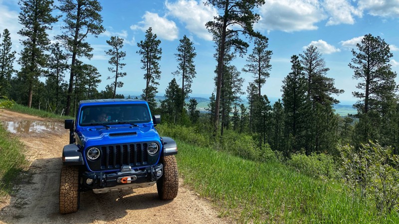
Spearfish Mountain is a short, fun trail just south of the town of Spearfish. The main route climbs through thick ponderosa forests and small meadows before opening up to panoramic views of the valley below. On a clear day, you can also catch a glimpse of Crow Peak and Bear Butte. The out-and-back trail ends at a private property gate.
The scenic trail is suitable for stock, aggressive 4x4 vehicles, and has just enough challenge to be fun. Erosion has exposed a few channels and a rocky section in the road that will keep the 2WD vehicles off the upper section. No defined or used dispersed campsites are visible along the trail, but the Black Hills National Forest allows for dispersed camping up to 300' from the center of the road along the entire route.
Updated: 09/23/2026
Raspberry Ridge 8026
Merritt, South Dakota
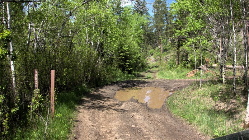
Raspberry Ridge is an entry-level rock crawling trail in the northern Black Hills. The trail is located just east of the Pilot Knob Trailhead on Merritt Estes Road between Highway 385 and Nemo Road. This is a trail rated by Black Hills 4 Wheelers as a 3 out of 10 and is a combination of trails 8030 and 8026. Raspberry Ridge is named for the plethora of wild raspberries found along the trail in the summer.
8026 is the eastern end of Raspberry Ridge and starts at the end of 8030. While it does not have any one obstacle more difficult than 8030, it is much more consistently rocky. There are few breaks between the long rock gardens, and the trail goes up and down several steep hills. 8026 does have several narrow sections between trees and rocks, which wide vehicles would need to be cautious of. A little past halfway through 8026, right at the intersection with Forestry Road 202.2C, you will find one area suitable for tent or vehicle camping. The remainder of the trail is too rocky or forested for any camping. After around 2.3 miles of slow, rocky trail riding, 8026 will end at Forestry Road 201.2D, which runs into the Bogus Jim trail system.
Updated: 08/31/2026
Victoria Lake Road
Colonial Pine Hills, South Dakota
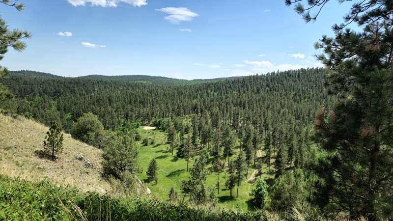
Victoria Lake Road (FR 159) is a dirt and gravel road connecting Sheridan Lake Road to Highway 385 in the Black Hills of South Dakota. Victoria Lake Road can be accessed from Sheridan Lake Road, about three miles west of Rapid City. It may also be accessed from Highway 385 just west of Pactola Lake. Victoria Lake Road is a forestry road and, as such, requires no special permits to access.
Victoria Lake Road is mostly rough-graded dirt, although near the midway point, it does have embedded rock up to about 8-12 inches tall. It should be easily navigated by any 4x4 or SUV with moderate clearance. There is one water crossing near South Victoria Road, which can be up to a foot deep, depending on the recent rainfall.
This trail does offer an overlook of Victoria Dam, built in the 1930s as a stock dam. The dam was destroyed in the 1972 flood and was never fully rebuilt. Victoria Lake is now mostly a pond feeding the sometimes dry Victoria Creek. The branch road 159.1E allows visitors to drop down into the ravine for a closer view of the dam and access to a hiking trail.
Several pull-outs and openings are suitable for vehicle and tent camping, the largest of which is midway near the peak of the road. Few offer locations far from the road, so expect traffic noise. Many use the pull-offs closer to Sheridan Lake Road as shooting ranges, which is allowed in many areas of the Black Hills National Forest. This area has a couple of nearby cattle ranches that use the forest for their cattle, so also beware of animals in the roadway.
Updated: 07/06/2026
Lost Gulch Road
Galena, South Dakota
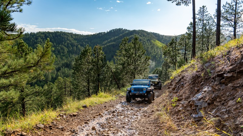
Lost Gulch Road is a straight-through 4x4 road connecting the town of Galena to the Camp 5 trailhead and Highway 14A. Near the town of Galena, the road is named Butcher Gulch and passes one road split that leads to the Galena - Vinegar Hill Cemetary, where you can find headstones dating back to the 1800s. 80% of this road is an easy, hard-packed drive, with plenty of road width to pass oncoming traffic. However, the moderate rating comes from the southern 1.3 miles, where you will need to climb or descend a steep mountainside that zigs and zags its way across loose fist-sized rocks along a single-lane road. High clearance and low-range 4WD will be needed to traverse this southern end safely. RVs and travel trailers should not attempt the southern end of this road. The northern entrance of the road is suitable for any vehicle and can easily be traversed for around 2 miles before the road becomes significantly rougher.
Many dispersed campsites can be found along the road's northern end between Highway 14A and the northern intersection of Camp 5. The campsites here come in a variety of sizes, suitable for just about any camp setup, including ground tents, trailers, and RVs. Large open grass areas are suitable for larger setups and groups, while small, secluded sites in the trees are nice for those looking for a bit more privacy.
Updated: 08/11/2026
Fullsize
Boulder Canyon, South Dakota
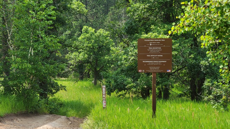
Fullsize, FR 8042 is a rock crawling trail near Sturgis in the Camp 5 area. It can be accessed via Camp 5 Road from Boulder Canyon Road or off Galena Road. Fullsize is a marked rock crawling route from Black Hills 4 Wheelers and is rated by the Black Hills National Forest as a 4 out of 10. Fullsize is named as such because it can be navigated by full-sized vehicles.
To enter Fullsize from Boulder Canyon Road, take Camp 5 Road until it meets Calamity Canyon FR 8043. Continue south about a quarter mile on Camp 5 Road until Fullsize branches off on the right. A large brown trail sign marks Fullsize. Pay attention, as Fullsize is marked 8042, but this number is shared with Hal John's, which parallels Camp 5 to the north and is much more difficult. Fullsize can be accessed via Galena Road by taking FR 170.4D north from Galena Road.
After passing the trail sign, stay left at the four-way intersection. Once on the main trail, Fullsize presents several rock gardens and rock slides requiring good tire placement to avoid undercarriage contact on stock or slightly modified vehicles. Fullsize crosses FR170.4D in a few locations as it parallels it southbound. This allows you to bypass obstacles and pick up down the way. The final section of Fullsize will pass the entrance of Kong, FR 8046, before ending back on FR170.4D.
There are no good camping spots on Fullsize. However, dispersed camping is available at the beginning of Camp 5 Road.

Updated: 06/20/2024
Smith Draw
Hill City, South Dakota
Smith Draw is a combination of several forest service roads that tracks you through the heart of the Black Hills from one main road to another. Located in the heart of the Mystic Ranger District this is one of the dozens of trails to explore showing the different landscapes in the Western Black Hills. As you travel through the forest, grassy valleys, and small gulches you will begin to see the unique nature of the hills making this a great easy trail for someone not familiar with the area.

Updated: 10/29/2024
Got Milk
Merritt, South Dakota
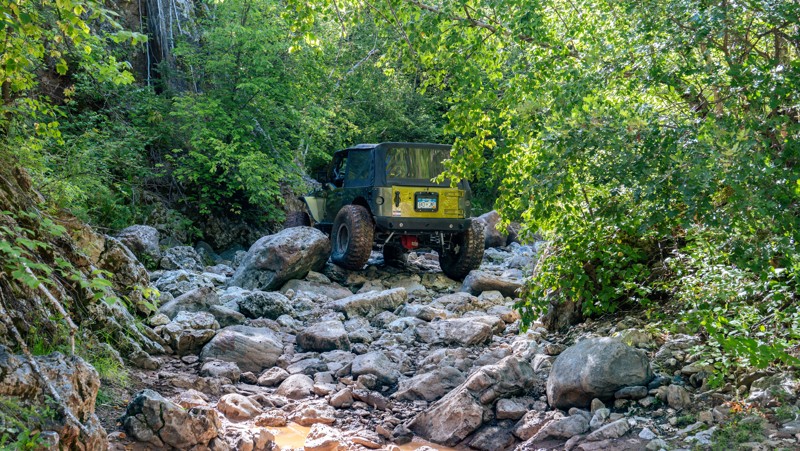
Located in the Cereal Bowl Trail System, Got Milk is a perfect introductory trail to the more technical rock crawling that is common in the Black Hills. This challenging trail, sometimes referred to as Upper Captain Crunch, winds through a striking landscape of dense pine forests and steep granite outcrops, offering a thrilling mix of tight turns, boulder-filled rock gardens, rocky ledges, and narrow passages that demand precision driving and constant attention. If you are looking for a bridge trail to see if you are ready to make the jump from forest roads to rock trails, Got Milk should be at the top of your list.
Updated: 08/11/2026
Calamity Canyon
Boulder Canyon, South Dakota
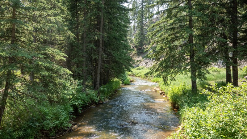
Calamity Canyon is a challenging Black Hills rock crawling trail located within the Camp 5 area near Deadwood. The trail follows Butte Creek through a narrow-walled canyon, offering no reprieve as you continuously weave your way up, over, and around a jumbled mess of beachball and couch-sized boulders. Although the trail can be run in either direction, traveling from north to south, starting at Camp 5 Road and ending at Galena Road, is the recommended direction as you will be driving the trail uphill. The trail remains in the creekbed most of the way, paralleling and crossing the observation or bypass trail several times. These trail crossings offer a great opportunity to bail out if you break something or the large rocks prove to be more than you can handle. However, once both trails merge together and exit the canyon, you climb a steep, rutty hill where you will still encounter moderate challenges.
This trail will require a skilled driver who is comfortable with undercarriage damage. Vehicles attempting this trail should be equipped with skid plates, rocker protection, and larger tires. Lockers are highly recommended but not required.
Updated: 05/29/2025
Castle Creek Road
Mystic, South Dakota
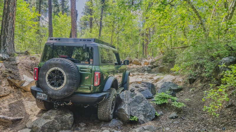
Castle Creek Road (FS181) is a scenic Forest Service Road in the center of the Black Hills of South Dakota between the towns of Rochford and Hill City. It can be accessed from the south by Mystic Road or from the north by S. Rochford Road. If starting from S. Rochford Road, FR181 will dead-end into private property and a no-trespassing sign. To create a complete through route, take Castle Creek Road Branch 1C (FR181.1C) and connect with FR181.
Castle Creek Road is best described as a rough, graded dirt road. When dry, it is traversable by any 4x4 or SUV with moderate ground clearance. A few small embedded rocks could damage passenger cars with low ground clearance. When wet, Castle Creek Road can present multiple mud holes. Castle Creek Road is open year-round; however, in deep snow, it may be difficult to tell where the road ends and the creek starts.
Castle Creek Road follows Castle Creek through a heavily forested canyon in the shadow of Castle Peak. The peak itself cannot be accessed off of Castle Creek Road but may be accessed from the nearby FR238. The main attraction to Castle Creek Road is Castle Peak Campground, which is about equidistance from either starting point. Castle Peak Campground is a National Forest Campground with nine campsites, fire rings, tables, and a pit toilet right on the banks of Castle Creek. It is free during the off-season but charges a nightly fee from May 22 through September 11. The sites are large enough for vehicle tents and small camping trailers. The campground is usually fairly empty outside of hunting seasons. Other attractions include views of the canyon walls and forests, as well as the ruins of a log cabin on the northern end before the private property.
Updated: 08/06/2026
Jake
Johnson Siding, South Dakota
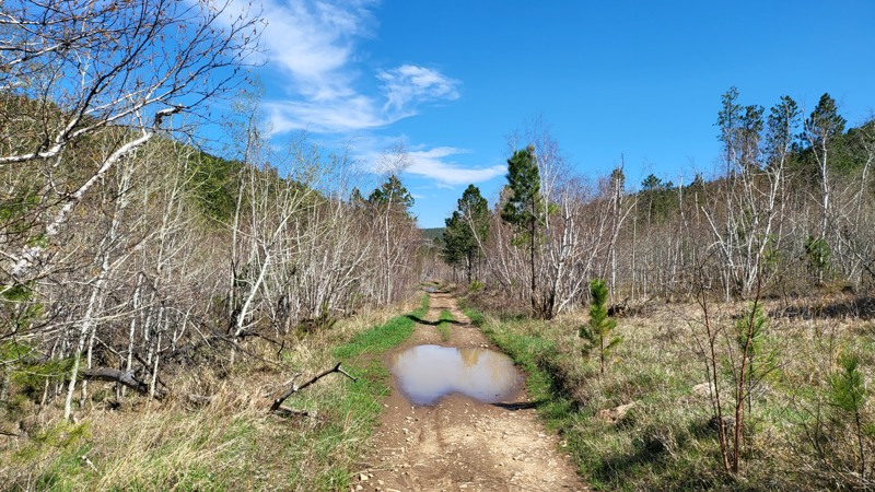
Nestled in the heart of the Black Hills, Jake is a popular rock crawling trail among locals and part of the Dakota Territory Challenge, along with nearby Fruity Pebbles and Got Milk. Jake will test your skills, abilities, and vehicle with its half-mile of relentless rock gardens. Fall colors will make Jake a beauty to behold as you tackle the challenge.
Updated: 08/11/2026
Erskine Gulch
Nemo, South Dakota
Erskine Gulch, located off of Nemo Road in the Black Hills of South Dakota near Steamboat Rock, is a short moderate trail through the gulch. The trail is rocky in several places, but nothing a 4x4 with high ground clearance can't handle.
The trail can be accessed straight off Nemo Road using FR145 or off the Piedmont Trailhead system using trail 8279. If entering through FR145, be respectful as this road passes several private properties.
Just before the entrance to the trail, a wide portion of the road leaves room to park and unload any trailers. As you progress into Erskine Gulch, the path comes to a Y intersection. Left or right is up to you since the trail can be run in either direction.
Take a right, and the trail continues with a slight grade up the hill with numerous puddles to splash through. After this, the route becomes rockier, and tire placement is important as you climb up to the loop's apex. You will come across a branch for trail 8276. This leads toward the Nemo Flag, which overlooks Nemo and the surrounding valley. However, 8276 is restricted to vehicles 62 inches wide or smaller. If you want to see the flag, it is about a half-mile walk up the hill.
After passing 8276, it's time to go back down the hill to where we started. This side of the gulch is full of smaller rocks but nothing too challenging. Once you reach the bottom, the trail meets back up, and you are home free.

Upgrade your Membership
Unlock all of the details on every Trail Guide and Scout Route.
Start a 7-day Free TrialBrowse Trails in South Dakota by City
Browse every South Dakota city with offroad trail guides.
Community
Partners

