






By clicking "ACCEPT", you agree to be the terms and conditions of each policy linked to above. You also agree to the storing of cookies on your device to facilitate the operation and functionality of our site, enhance and customize your user experience, and to analyze how our site is used.
Arizona Off-Road Trails
373
Total Trail Guides 359

4679
Detailed Waypoints 676
Try a Free 7-Day Trial and unlock it all
Start a Free Trial Most Recent Trail Reviews
Rated 4/5
Open
Visited: 09/22/2026
Hard pack, easy forest service road that is a great back way to the North Rim of the Grand Canyon.


Tyler D’Hulst
Rated 4/5
Open
Visited: 09/22/2026
Spring Canyon is a beautiful drive. We didn’t go out to the cabin but used this western section of road coming back from Crazy Jug

Tyler D’Hulst
Rated 4/5
Open
Visited: 09/22/2026
We took this out to Crazy Jug. The northern section is hard packed forest service road. Not difficult. Very scenic drive through the ponderosas.

Tyler D’Hulst
Rated 5/5
Open
Visited: 09/22/2026
View point is spectacular! Trail was easy going out, no obstacles at all. Saw a Toyota Camery at the viewpoint.


Tyler D’Hulst
Rated 3/5
Open
Visited: 09/22/2026
An alternative route out to Crazy Jug Point. It’s easy and can be scenic in areas. I’d recommend West Ryan out to Crazy Jug though.
Tyler D’Hulst
Rated 3/5
Open
Visited: 09/22/2026
A quick connector trail through the burn patch.
Tyler D’Hulst
Rated 5/5
Open
Visited: 09/20/2026
Leviathan Mine trail is a full day trip. Though it is only 20 miles in length the travel is slow and rough. Majority of the trail you will be going between 5-10 MPH. Then once at the end it connects w...



Eric Gartin
Official Crew
Rated 4/5
Open
Visited: 09/19/2026
Simple road, well graded today. Many mountain bikers coming down from the West out of Breezy Pines. Not too many people out until approaching Senator Hiway. We went East to West as I think thats a bet...



Jeff Burnett
Rated 3/5
Open
Visited: 09/19/2026
The trail itself is not spectacular, it's pretty flat across the plains. However, driving up to the overlook and seeing a huge gaping hole in the ground is a great juxtaposition to the flat trail. The...
Tyler D’Hulst
Rated 3/5
Open
Visited: 09/19/2026
A nice trail ride from the main road down off the plateau. It's graded forest service road until the switchbacks. The switchbacks themselves are not difficult, road is not graded. This section has bee...
Tyler D’Hulst
Rated 3/5
Open
Visited: 09/18/2026
The end of the trail is not well marked, and can cause confusion. Also, vehicle passes are required for all backcountry routes within the Lake Mead National Recreation Area.
Eric Gartin
Official Crew

Ted Whisler
No Rating
Open
Visited: 09/17/2026
Nice ride west side a little rocky but rating is true to #2


Ted Whisler
Rated 3/5
Open
Visited: 09/15/2026
A nice drop off the plateau heading towards Marble Canyon. Not a difficult road. Road is weathered but not challenging.
Tyler D’Hulst
No Rating
Temporary Closure
Visited: 09/15/2026
Road closed due to multiple washed out wash crossings after the turn off to go up the mountain. "Road Closed" sign put out by BLM on trail.
Tyler D’Hulst
No Rating
Temporary Closure
Visited: 09/15/2026
After the turn off to head up the mountain there are multiple washed out wash crossings. A "Road Closed" sign has been put out by the BLM.
Tyler D’Hulst

Ben Ruddell
Official Crew
Rated 4/5
Open
Visited: 09/14/2026
Bogles Ranch Road is a great Sunday afternoon drive type of dirt road that climbs up in elevation and gives some spectacular views of the surrounding area. The first half passes through State and Priv...


Eric Gartin
Official Crew
Ben Ruddell
Official Crew
Rated 3/5
Open
Visited: 09/14/2026
Antares Road is an excellent way to travel from Route 66 to the eastern portion of the Lake Mead National Recreation Area. This wide county road is well maintained with minor washboarding, most of whi...


Eric Gartin
Official Crew
Rated 3/5
Open
Visited: 09/14/2026
Hackberry road is a wide dirt road with minimal erosion damage and washboarding. There are a couple of larger washes that cross Hackberry road creating wide stretches of loose sand which can cause iss...


Eric Gartin
Official Crew
Rated 3/5
Open
Visited: 09/13/2026
This is a very rough, rocky, & slow going trail. Expect around 4+ hours for the trail & another hour to get the highway. One of those trails I'm happy I did but I wont be back personally. High clearan...

Brandon W
No Rating
Open
Visited: 09/12/2026
I think the rating is spot on. The ruts and washouts at the beginning are not as bad and if you hug the inside of the shelf road they can be avoided. The middle part is same general sandy wash with ov...



Greg Page
Rated 4/5
Open
Visited: 09/11/2026
Ran this trail as part of a larger loop. Trail is in great shape. Easy for standard 4x4 with no lift. Passengers can do it until maybe the very end by the lake where the road gets rocky and washed out...


Jeff Burnett
Rated 5/5
Open
Visited: 09/10/2026
This is one of my favorite scenic trails in the area. The trail is easy to travel, but does have some optional short trails that will test your vehicle. The views from the Grand Wash Cliffs of the Hua...


Eric Gartin
Official Crew
Rated 3/5
Open
Visited: 09/07/2026
This trail by itself is nothing special. It is mostly used as an access road to get to the more technical trail such as Homecourt, Twister, and Waynes World. This is a great trail for the beginner to ...


Eric Gartin
Official Crew
Rated 3/5
Open
Visited: 09/07/2026
This trail is an enjoyable alternate route when traveling on Blake Ranch Road (7163). The trail is easy with only a handful of spots with erosion damage. The few established camping sites appear to n...


Eric Gartin
Official Crew
Rated 5/5
Open
Visited: 09/07/2026
Ran this trail from Boynton Pass Road to Loy Butte Road (opposite direction from what is listed). Ran into a few rental ATVs and a couple of Jeeps heading the opposite way. This was a fun trail wit...



Daniel Macioce
Rated 5/5
Open
Visited: 09/07/2026
This trail was a lot of fun, plus the views were amazing. I ran the trail in the order posted, starting at the south trailhead and finishing at the heritage site. Past a motorcycle, a few jeeps and a...


Daniel Macioce
Rated 4/5
Open
Visited: 09/07/2026
Nice trail, ran West to East. For some reason the map shows this a a one-way trial, East to West. That is not the case, it is a two way trail. Was pretty washed out starting around mile 12. Plenty roc...


Jeff Burnett
No Rating
Open
Visited: 09/06/2026
New trail for me. You didn’t know what it would throw at you around every corner which is why you try to find new trails or old forgotten ones
KB
Kory Burden
Rated 5/5
Open
Visited: 09/06/2026
The trail is no joke—steep, narrow, and technical enough that you’ll want to be comfortable with off-camber shelf roads, rocky terrain, and washouts that will test your vehicles articulation. The rew...



Bobby Rumbaugh
Official Crew
Rated 5/5
Open
Visited: 09/06/2026
Fun trail if you don't want to do pyeatt draw itself. Ran this trail 3yrs ago and definitely a little more erosion but, still any truck or suv with good factory ground clearance can do it. From previo...
JM
James m
Rated 4/5
Open
Visited: 09/06/2026
Ran this trail from I-17 to Sedona. Extraordinary views descending into Sedona. As others have noted, there are lots of rock on the trail, making it slow going. Passed a large number of Pink Jeeps ...


Daniel Macioce
Rated 4/5
Open
Visited: 09/05/2026
This one definitely changed over the last few years. The southern section has some legit, steep, off-camber sections. YOU NEED experience, backup, and a capable vehicle on this one now. It's not supe...


.jpg)
Bobby Nelson
Official Crew
Rated 4/5
Open
Visited: 09/05/2026
Another amazing time on this scenic crossover. We came in from Walnut Canyon and finished out on Price Road after about 6 hours. A challenging and hot day for the old TJ. Rincon Road has evolved into ...


Bobby Nelson
Official Crew
Rated 4/5
Open
Visited: 09/05/2026
We started exactly at sunrise to try and beat the heat. We planned to crossover to Box Canyon and out on Price Road. It ended up taking us 6 hours, even with all the photos and filming we did. A chall...


Bobby Nelson
Official Crew
Rated 5/5
Open
Visited: 09/04/2026
We recently ran Four Peaks after the monsoon rains. Here’s what we found and what to expect if you’re planning to run it. Have a GR8 day!

Jeep 4 Dirt
Rated 5/5
Open
Visited: 09/04/2026
Breathtaking views. Definitely don't rush through the trail. Devil's staircase was a bit slippery but awesome. A few tight stops here and there, but a trail that's a must on anyone's to do list.



Christopher Bradley
Rated 4/5
Open
Visited: 08/30/2026
Id say this is a 3.5 to 4 trail. There are some obstacles, but nothing you really need to think hard about how to approach. If you send your vehicle at it in 4 low you'll get through everything.



Justin Holsinger
Rated 4/5
Open
Visited: 08/28/2026
Rim Road (FS300) West to East. Very well groomed gravel forest road. Accessible by just about any vehicle thats not been lowered. Who does that anyway? Scenic views the whole route. Hard to believe on...


Jeff Burnett
Rated 4/5
Open
Visited: 08/28/2026
Not a bad road but it was crowded with sxs and vehicles towing campers. Hard to rate 5 stars for a busy road. Super easy any vehicle can do this. Part is paved near the freeway but the rest is gravel.

Tony Rockwell
Rated 4/5
Open
Visited: 08/28/2026
I rated 4 stars just due to the volume of sxs & camper trailers on the road.
Easy drive, any car can do this.
Ran from sheep springs to munds park, see other reviews for full route.

Tony Rockwell
Rated 4/5
Open
Visited: 08/28/2026
I ran Bar M in reverse to get to this trail. Then headed toward Casner Park Road. (See reviews I did on each of those)
Nice easy trail that is less rough than Bar M.
Nice drive through trees.


Tony Rockwell
Rated 5/5
Open
Visited: 08/28/2026
Very bumpy due to rock infused trail. A few larger rocks, 8-12” tall in places but most stock 4x4’s should be able to navigate around or over them. I would say any 4x4 with all terrain tires could nav...


Tony Rockwell
Rated 3/5
Open
Visited: 08/27/2026
Overall decent little trail; camped out near Committee Tank (not suitable for tent camping - too rocky). Nothing too technical but enough to keep things interesting. High clearance and good line choi...


Bill Ferguson
Rated 3/5
Open
Visited: 08/27/2026
Connector from FS801 (Rock Garden Loop) to FS09494F (Committee Tank Trail); yeah, it lives up to its namesake. Very rocky. High clearance and picking good lines are an absolute must. Car camped at...

Bill Ferguson
Rated 5/5
Open
Visited: 08/27/2026
Nice trail saw some deer it’s a little rough but overall was easy


M
Maddox
Rated 5/5
Open
Visited: 08/23/2026
Great little adventure for the day. Dirt road is pretty rutted up due to monsoons, but easily drivable. Lake itself is extremely low.
LL
Larry Lapp
Rated 4/5
Open
Visited: 08/22/2026
A fun side trip that has a steep hill climb. Due to recent rains, the wildflowers were blooming.


Bobby Rumbaugh
Official Crew
Most Popular
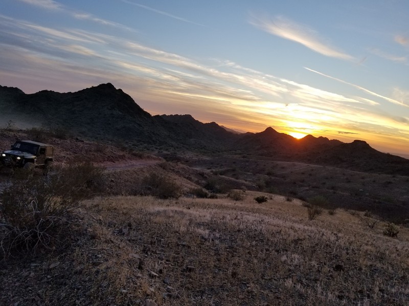
Updated: 10/15/2024
Buckskin Mountain Trail - AKA Back Way To The Desert Bar - Parker
Parker, Arizona
Who doesn’t love going off the beaten path, the road less traveled? Buckskin Mountain Trail is just that, when leaving The Desert Bar, this trail offers drivers a way out of the bar that is relatively remote and at the same time offers some of the best sunset views of the valley. This is no easy 4x4 trail, the trail is a solid intermediate path with several long loose hill climbs and even a waterfall obstacle. Thus the next time you are looking to spice up your drive to The Desert Bar or thinking about taking a different way home, check out Buckskin Mountain Off-road Trail near Parker Arizona.
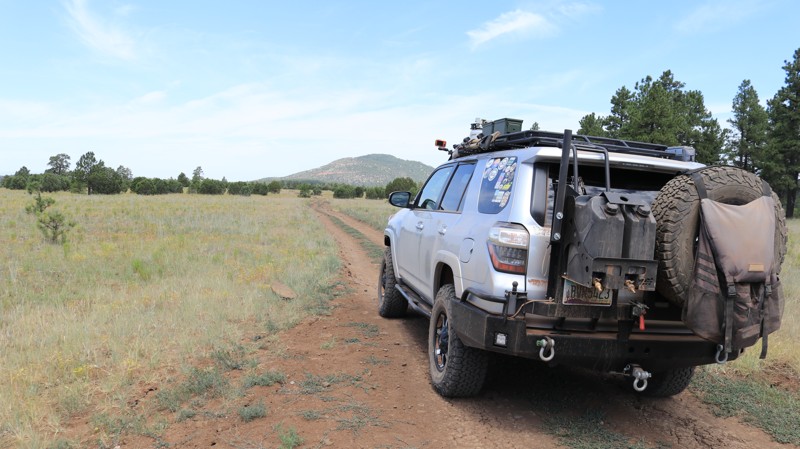
Updated: 02/05/2024
Apache Maid
Mormon Lake, Arizona
Historians agree that during the area's pioneer days, an incident involving an Apache girl made her a local legend. The specifics are lost to time, but the name Apache Maid has been applied to a mountain, a ranch, a cabin, a road, and the area in general. Apache Maid Ranch was owned by the Babbitts, a prominent northern Arizona family that created a mercantile company, numerous local leaders, and a Senator. The Apache Maid road travels through the center of today's geography and the era's history. In the east, Apache Maid winds through the tall, stately ponderosa forest that dominates the vast Coconino National Forest. As the road loses elevation, the pines give way to scattered juniper, canvas-tan grasslands, and beautiful views. The Apache Maid cabin, an old ranch house, sits up a short lane. With its fire watchtower, Apache Maid Mountain looms over the trail's western end. With plenty of camping available and a trail offering a few challenges, Apache Maid makes for a great Arizona wheeling experience.
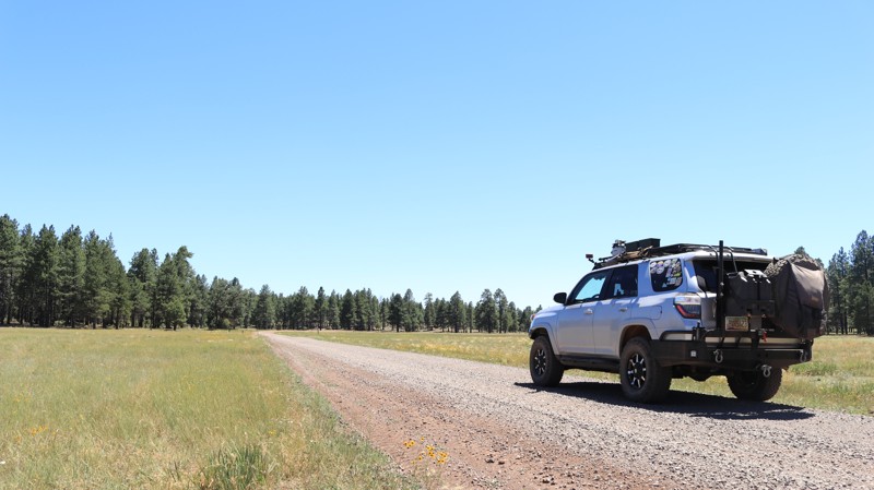
Updated: 02/11/2024
Horse Park Road
Mountainaire, Arizona
Roads and trails in this area are often named after early pioneers or important geographical features along the way. Alpine meadows are called parks in local parlance. Horse Park Road draws its name from a particularly picturesque meadow, one of three along this easy scenic drive. Horse Park Road begins just south of Flagstaff in the bedroom community of Mountainaire. The well-maintained road travels through an OHV area ripe with interesting ATV tracks. There are seemingly countless campsites along the trail, many located near the three parks. Combine those two attributes with the native beauty of the pine-forested Coconino National Forest, and you have a top-rated destination on weekends. If you are looking for fun and a chance to meet up with other offroad enthusiasts, Horse Park Road might just be the path you want to follow.
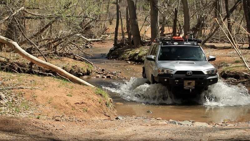
Updated: 02/17/2024
Cedar Flat
Payson, Arizona
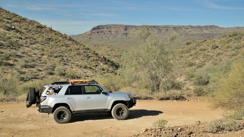
Nestled in the nearly 2.9 million-acre Tonto National Forest, Cedar Flat is a true central Arizona experience. On the way to the trailhead, you pass the historic Doll Baby Ranch. The ranch was purchased a few years back by a nature conservancy and put under Forest Service jurisdiction. Cattle still roam on the ranch's land, but continued access to the Baby Doll Trailhead for hikes into the Mazatzal Wilderness was ensured. Even more importantly, the section of the East Verde River that runs through the ranch property was protected. The ranch's original windmill still stands and turns in the breeze. Welcome to Arizona the way it used to be. There aren't many trails in Arizona that offer a smorgasbord of experiences. Besides the Old West vibe of just getting to the trail, having a cottonwood-lined perennial river to soak your feet in, listen to its ripples, camp beside, and perhaps even take a cooling dip in one of the deep pools is an extremely unique experience in the deserts of Arizona. The buffet continues with vast views of one of Arizona's most intimidating mountain ranges, the rugged Mazatazals. There isn't a single road that crosses that impenetrable range. You can see why as you gaze across at the looming presence, a wilderness only penetrated by a handful of difficult hiking trails. Even the name, Cedar Flat, is interesting. There isn't a single cedar tree on Cedar Flat. Early settlers were familiar with European cedars and mistook the western junipers as a species of cedar. Thus there are many Cedar Flats, Mesas, and Creeks across the West and about a trillion unappreciated juniper trees. Go check out Cedar Flat and take in all the items on the menu. You'll leave a fuller person for it.
Updated: 05/26/2024
Little Pan Mine Road
New River, Arizona
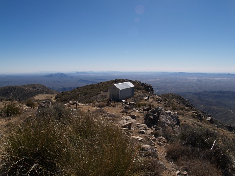
Little Pan Mine Road passes through the BLM's Table Mesa Recreation Area in the beautiful cactus-studded Sonoran Desert. The Bradshaw Mountains dominate the skyline to the northwest, while the New River Mountains define the eastern horizon. The area is popular with outdoor enthusiasts who enjoy wheeling, rock crawling, OHVs, shooting, dirt biking, and hiking. The region has a rich history of mining and cattle ranching. Being close to Phoenix, the area can get crowded on weekends. Little Pan Mine Road offers excellent views, good campsites, a river crossing, and hills steep enough to make you pay attention to the off-camber shelf road. Shade trees abutting a high cliff face near the Agua Fria River make for an excellent picnic site. A wide variety of cacti native to the Sonoran Desert line the trail. Just north of the river crossing, a magnificent stand of Saguaro dominates a hillside. Whatever type of adventure you are seeking, Little Pan Mine Road can take you there.
Updated: 03/03/2024
Harquahala Mountain Summit Road
Wenden, Arizona
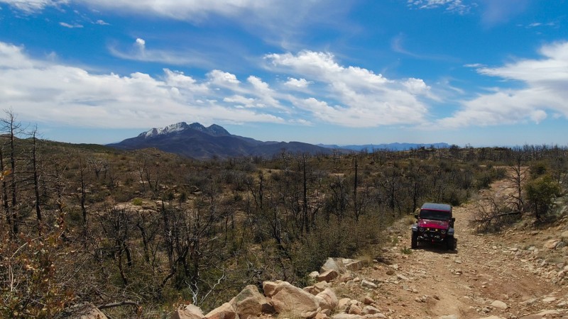
Arizona BLM is offering you a chance to feel like you are on top of the world. Harquahala Summit stands at over 3,300 feet. It provides small SUVs the opportunity to try out their 4wd capabilities. As you ascend the mountain, the terrain will turn from beautiful desert scenery to a rugged and rocky mountainside. At the summit, there are breathtaking views and a guest log to sign at the observatory. Near the windsock, you will find a marker embedded in a rock stating that you are at the highest point in SW Arizona. Along the side of the building, information is provided about the observatory and many of the questions you may have about the area. Be sure to go prepared for a rugged desert environment.

Updated: 12/15/2025
Edward's Park
Tonto Basin, Arizona
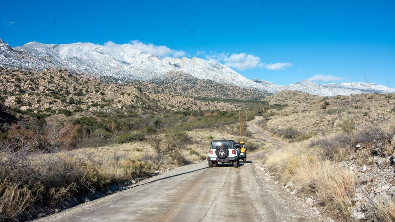
Edward’s Park, FR 422, is a rocky, aggressive, out-and-back trail in Tonto National Forest. It begins at an intersection with Four Peaks, FR 143, northwest of Four Peaks Pass. Unlike the easy drive to the top of Four Peaks, this trail immediately gets difficult with loose rock, washouts, steep hill climbs, descents, and off-camber tracks. The loop at the north end is steep, off-camber, and deteriorated.
Edward’s Park has seasonal stream crossings and offers views of Bull Mountain and Edward’s Peak, among others. Occasionally, there's a peek of Roosevelt Lake and the surrounding Tonto Basin to the east.
The road is also a segment of the Arizona Trail, a hiking trail covering over 800 miles from the Mexican border north to the Utah state line. Be kind to any hikers you see. They have a long way to go.
There are multiple dispersed campsites on this trail. Most will accommodate a few vehicles and have rock fire rings. These are great sites, well off of the beaten path, with pine trees providing a small slice of shade from the Arizona sun.
While this is not a “rock crawling” trail, it is aggressive. A lift and good off-road tires are recommended.
Updated: 03/09/2026
Happy Valley
Mescal, Arizona
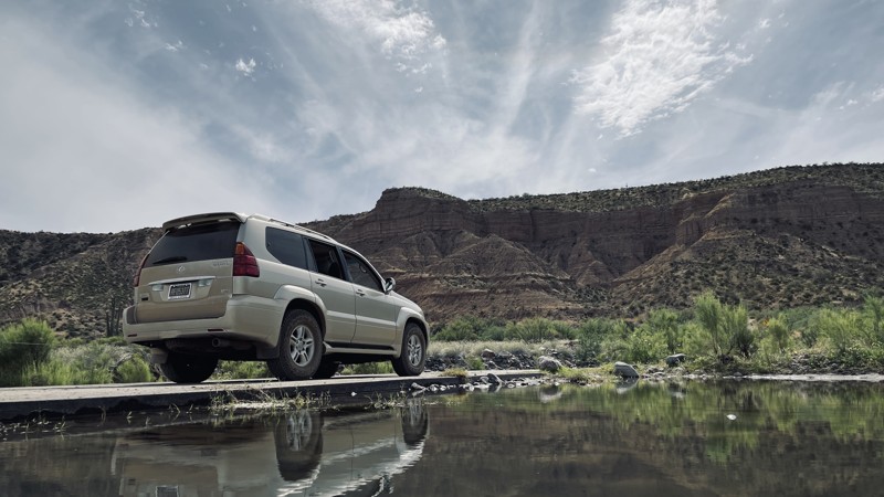
Happy Valley Road passes the historic movie town of Mescal while cutting through lush riparian areas and flat grasslands of the area's ranches. Along the way are some fantastic dispersed campsites. Several camping spots could support a travel trailer and many more are good for tents. Keep an eye out for a secret waterfall. It's really impressive during the monsoons and spring snowmelt. Here's a little hint. It's visible from the road.
Depending on the time of year that you traverse Happy Valley, the crossings at Ash Creek will be deep sand or one to two feet of water. Winter is the perfect time to visit the area. The Gambel oaks still have their leaves. There's water and the temperatures are great. Come check to Happy Valley
Updated: 03/04/2026
A Cross Road
Willow, Arizona
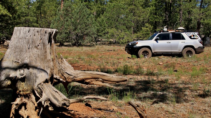
Immerse yourself in the captivating views of Tonto National Forest's FR 60, also known as A Cross Road. With a mixture of dirt roads and slightly rocky terrain, anyone with a high clearance 2WD can enjoy this trail. There may be shallow water crossings depending on the lake's water level.
Scattered campsites offer awe-inspiring views of Theodore Roosevelt Lake and the majestic Four Peaks. If hiking is your thing, embark on the enigmatic Lost Goldmine Trail. For thrill-seekers, the Jug canyoneering route presents a daring challenge, rewarding adventurers with invigorating natural water slides, cliff jumping, and repelling down steep canyon faces into the crystal clear water below. A Cross Road is truly a gateway to Arizona's natural wonders.
Updated: 12/15/2023
FR 801
Sedona, Arizona
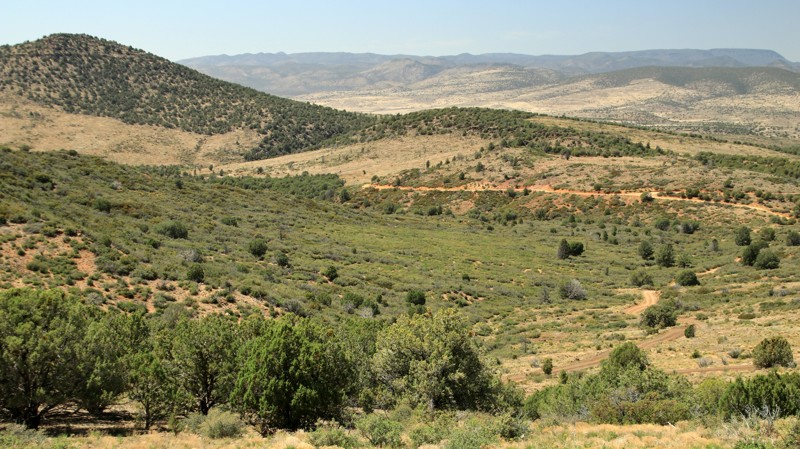
The wonderous geologic beauty of Sedona's red sandstone monoliths brings visitors from far and wide. That same sandstone creates challenging offroad trails that draw their own flocks of eager visitors. Jeep tour companies bounce wide-eyed giggling tourists along many of those. It's all fun and beautiful. But you may begin to crave a quieter adventure that includes a bit of solitude. Atop the Mogollon Rim, past the jeep tours and the crowded overlook parking lots, FR 801 veers off Schnebly Hill Road into the Coconino National Forest. Most just zip by the intersection without noticing. FR 801 hides her treasures well. The track leads deep into a Ponderosa pine forest, offers some excellent camping, and connects with other small trails that lead to amazing and seldom-seen views out on the edge of the Rim. In summer, cattle graze on the high alpine grasses. An inordinate number of hummingbirds seem to like this area. Watch closely for elk peering at you from the shadows. There are a lot of wonders to find in this forest, but crowds aren't one of those.
Updated: 07/12/2024
Porcupine Peak
Camp Verde, Arizona
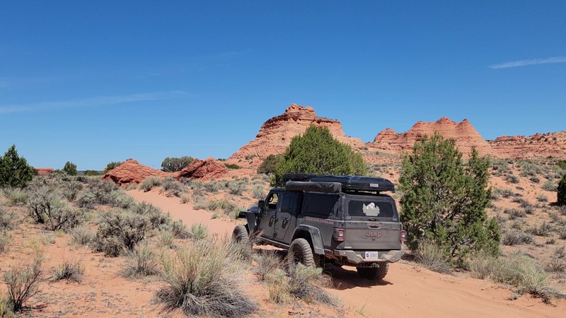
Located in central Arizona's Prescott National Forest, Porcupine Peak provides access to one of the area's highest promontories with amazing views. Along the way are good campsites, a juniper forest peppered with stately century plants, and a small seasonal stream with cottonwoods and sycamores. The summit provides an unparalleled view of central Arizona and the Verde River basin. There's also great cell phone reception at the top, courtesy of the massive antennae farm. The first 5 miles of the road are also part of the Great Western Trail that runs from Arizona to Montana.
Updated: 06/29/2026
Paw Hole
One Mile, Arizona
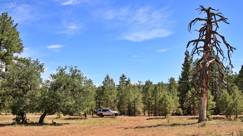
Paw Hole is a deep sand trail from House Rock Road to the geologically stunning White Pocket. It is the northern route and the more technical route to White Pocket. It is also more scenic! This route also passes sights like the Paw Hole Teepees and Poverty Flat Ranch. It is also the access road to the Cottonwood Teepees trailhead. This trail requires 4WD because of the deep sand. There isn't any camping along this route. A permit is required to hike into Coyote Buttes South, the area with the teepee-shaped rock formation just north of Paw Hole. A permit is not necessary to drive Paw Hole or to explore White Pocket.
Updated: 06/07/2024
FR 226
Flagstaff, Arizona
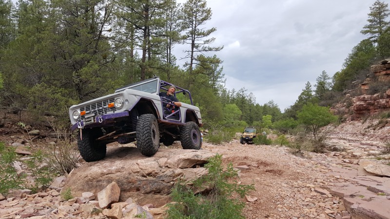
Immediately you are ensconced in tall pines and an abundance of campsites. That's just what you'd expect from a well-groomed trail in the Coconino National Forest with easy access off the interstate. But just a few miles into Forest Road 226, you begin to find silence broken only by the wind singing a soothing melody in the tops of the Ponderosas and the crunch of your tires on the dirt. Squirrels scamper across the road, and that might have been an elk in the shadows watching you pass by. At picturesque Bar M Canyon, named for an old ranch that once operated in the area, is an unexpected one-lane bridge. Just beyond the bridge is a campsite snuggled up to the canyon. An enterprising camper cut large pine logs into camp furniture fit for Paul Bunyan. The site makes for a cozy overnight camp or perhaps just an amusing and timely picnic spot. With links to a complete network of other fun trails, Forest Road 226 might be a pivotal segment of a longer overland journey. But even alone, it is worth checking out.
Updated: 05/27/2023
Pyeatt Draw
Payson, Arizona
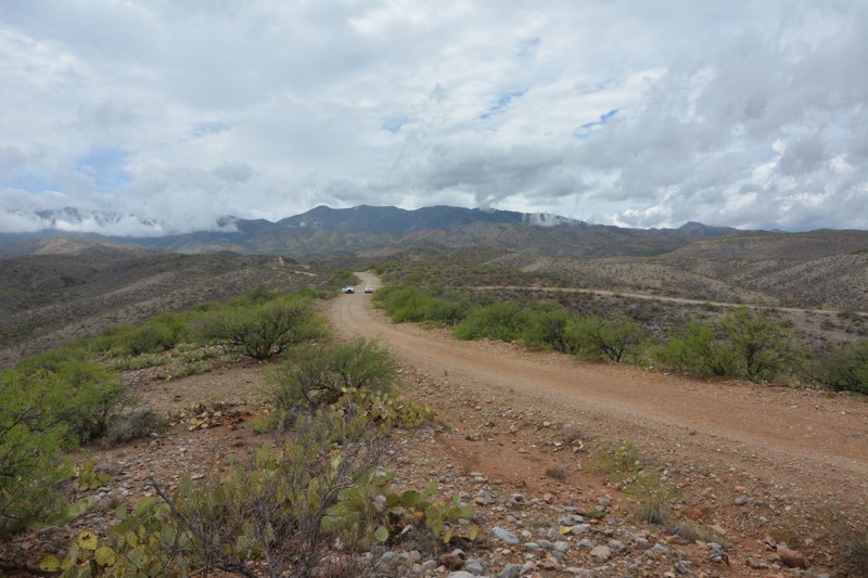
Pyeatt Draw offers beautiful scenes of tall pines, rocky creek bottoms, the occasional elk and deer, and some rock crawling. Named [2006's BF Goodrich Outstanding Trail](https://www.bfgoodrichtires.com/outstanding-trails-and-clubs.page), Pyeatt Draw is a very popular trail and includes some of the areas premier 4-wheeling. Pyeatt Draw can be tackled by wheelers of all skill levels and will offer a feeling of accomplishment for novice drivers. However, only the best built rigs and skillful drivers should tackle the final obstacle which is particularly entertaining to watch.
Updated: 05/30/2023
Continental Copper Access
San Manuel, Arizona
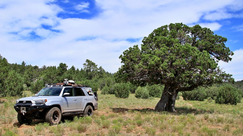
If wonderful scenery, traveling through saguaro forests, and rollercoaster-like offroad driving is your thing, this is definitely the ride for you. This road starts about 2/3 of the way up the mountainside, beginning at the Mount Lemmon Control Road trail then descends almost entirely to the San Pedro River below. On the way down you'll be treated to a spectacular view of the green riparian area (If in season) and the stunning Galiuro Mountains beyond. There are a few dispersed campsites to enjoy up at the cooler elevations.
This backcountry road also makes an excellent loop from the Mount Lemmon Control Road Trail along the San Pedro River bottom to the end of the Redington Pass Trail. You can make a delicious all day loop from the valley floor in Tucson, up and over the Catalina Highway Scenic Road to the Backway Mount Lemmon Control road-4450-Redington Pass trail.
Updated: 04/22/2026
FR 9496F
Sedona, Arizona
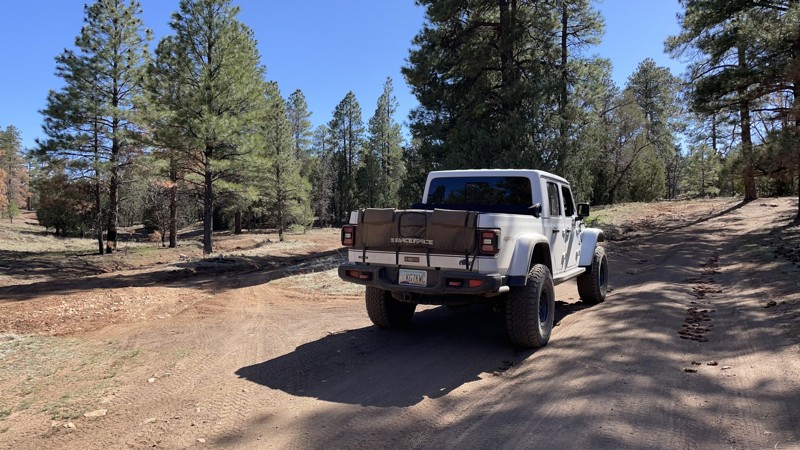
FR 9496F is a rarity in the Coconino National Forest. The Coconino is renowned for its vast Ponderosa pine forests. FR 9496F begins in that forest but transitions quickly to a more open grassland studded with Alligator Juniper, one of the oldest living plant species in Arizona. The canvas tan grasses evoke images of an African savanna. Just substitute the junipers for Boabab trees and any elk or deer you see for wildebeest and gazels and, voila, you are in your own National Geographic safari episode. The trail passes near the head of the rugged Woods Canyon. The chasm slices down through multihued layers of sandstone opening views across the broad Verde River Valley. To the southwest, the long slopes of the Mingus Mountains define the horizon. The solitary rounded prominence to the southeast is Apache Maid, the forest tower atop it visible only with binoculars. Trundling beyond Wood Canyon brings on Jacks Point Tank and the end of the trail. A quiet approach to the tank might permit a glimpse of watering wildlife before they scurry back into the shelter of the Alligators.
Updated: 04/15/2026
FR 301 to Fisher Point Trailhead
Flagstaff, Arizona
FR301 is a dirt road trail that will take you under an hour out and back, and it starts right at the city limits of Flagstaff! This is great for a quick family outing or to get in a hike when you're on the east side of Flagstaff. The mudding is good after a soaking rain or when the snow is melting (avoid this trail in-stock vehicles when it's wet!). At the end of the guide's trail you'll find parking and a USFS trailhead for a nice half-mile hike to Fisher Point with epic views of Walnut Canyon. FR301 is a more interesting drive and a quicker hike to the canyon than the Arizona Trail trailhead, located a mile east down Old Walnut Canyon Road. You are likely to see Elk along FR301 or FR301D during their migration season, especially in late fall and early winter. This area is heavily affected by bark beetles; you can hear them work on the trees in the summer if you are quiet.
Updated: 12/02/2025
Sawtooth Mountains Widow Maker Pass
Arizona City, Arizona
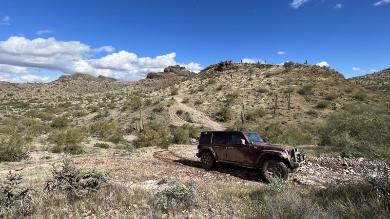
The Sawtooth Mountain Widow Maker Pass trail is south of Casa Grande near Arizona City. This beautiful trail winds through the remote Sawtooth Mountain Range, part of the 129,000-acre Ironwood Forest National Monument established in 2000 by presidential proclamation.
The trail begins at the steel gate just past the intersection of West Harmon and South Lamb Roads. Shortly down the trail is a cattle gate. Please close it after passing at the request of the rancher. The trail crosses Greene Wash. Use caution after rain as this area floods and quickly turns to deep mud. You will find one of the original 267 concrete Corona Satellite calibration markers.
The trails in this area are not marked with signs or trail markers, so ensure you download the GPX track. As you wind through the foothills and into the mountains, there are many opportunities to capture photos of the Sonoran Desert landscape. From the crest of Widow Maker Pass, there are great views of farm fields, Picacho Peak, the Santa Catalina Mountains, and Mount Lemon in the distance.
There are a few locations along the trail suitable for camping. These come with space for several vehicles and outstanding views of the Sawtooth Mountains.
This trail runs primarily through BLM land but crosses private property on the north end and Arizona State Trust Land. Please know the boundaries of private landowners before traveling this trail and respect the access they provide. You will need an Arizona State Trust Land recreation permit in this area.
Updated: 08/31/2026
Back Way to Mt. Ord
Fountain Hills, Arizona
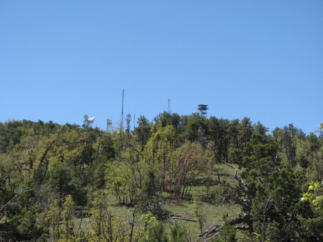
Atop Mt. Ord at nearly 7100 ft in elevation, is the Mt. Ord fire lookout. Originally placed in 1936 at 60 ft in height, the tower was replaced in 1983 and is currently approximately 102 ft tall. The original fire lookout cabin can be seen at the Rim Country Museum in Payson, Az. It makes for an interesting side trip and can be accessed by turning left/south at the intersection of FR 27 and FR 626. If the gate is open at the end of FR 626, continue on up to the end of the road, and if you're lucky, maybe you will be invited up into the tower. If the gate is closed you can hike the approximate 1 mile uphill to the tower. Also sitting atop Mt. Ord are local radio towers and amateur radio repeaters.
Updated: 10/15/2024
Alamo Road
Yucca, Arizona
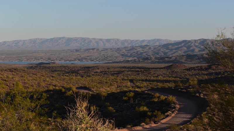
Alamo Road is a strategic road for the longer Overlanding routes and the main artery for adventures in the area. Traveling from I-40 between Kingman and Lake Havasu, Alamo Road traverses mountains and valleys along its 58-mile path before ending at Alamo Lake. This desert area is where the Sonora and Mohave Deserts mix, offering a unique blend of the plants found in each region. From typical sandy soil to red dirt, joshua trees, Saguaros, and Junipers share space in this often hot and hostile part of the desert. Blackened rocks and hillsides are common backdrops from the thousands of years of sunshine, baking the surface of anything that doesn't move.
Submerged beneath the lake is the town of Alamo Crossing. The town was located near the best place to cross the Bill Williams River. A buoy line across the lake marks the historic crossing. The town housed a general store, a five stamp mill, and a post office that was open for just over one year, closing in December of 1900. In 1911 the Post Office reopened with the new name of Alamo and continued to operate through the end of 1918. Manganese mining revived the town in the 1950s during a short boom before the dam was built in the early 1960s, flooding the town in the early 1970s.
Alamo Lake Dam was completed in 1968 to control flash flooding into the Colorado River. The watershed that feeds this river through the intermittent Big Sandy Santa Maria Rivers is over 5000 square miles. During heavy rains, the water level in the lake can rise as much as 3 feet per hour.
FYI, the hardest part is this unsuspecting cattle guard. Many travelers have tested their flying abilities here. Be cautious with speed on this road. There are many blind spots and often speedy vehicles.
Updated: 02/25/2024
9014 Brooklyn Mine and Aqua Fria Ruins
Black Canyon City, Arizona
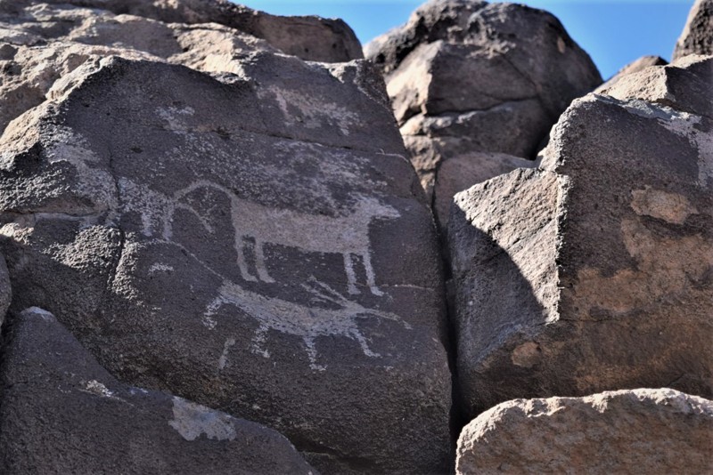
The American Southwest is rich in Native American History but very few locations allow off-road enthusiasts the opportunity to drive right up to ruins like you can in the Aqua Fria National Monument. Roughly 40 miles north of Phoenix, this little known area has some of the best preserved Indian and early settler stone ruin sites. The earliest inhabitants were people that lived in the region between 1250 and 1450 A.D. They created an intricate network of over 450 mass dwelling sites that are spread out all over the area. The monument was created to protect the ruins, the beautiful Aqua Fria River, and its tributaries. As noted in the Presidential proclamation on Jan. 20, 2011 “The monument contains one of the most significant systems of late prehistoric sites in the American Southwest.”
9014 will lead you back in time to ancient Native American ruin sites that have been naturally preserved for over 500 years. When you walk around the ruin sites, you have to pay attention to where you step because pottery shards are all over the ground. These small pieces are easily spotted by their smooth surface and red hue but please only take pictures to help preserve the history for future generations. You can also view thousands of petroglyphs lining the cliffs, while below there are old remains of the Brooklyn Mine operation.
Updated: 07/06/2024
Robert's Camp
Wickenburg, Arizona
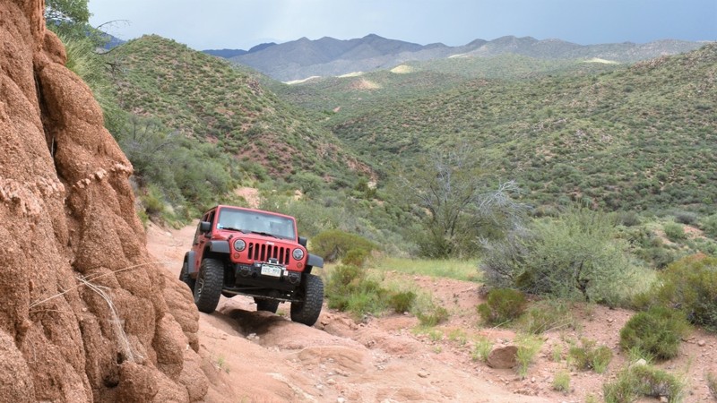
The Wickenburg, Arizona region has a rich history in mining and cattle ranching. Roberts Camp is one of the main routes in the region that allows you to easily access the remote desert mountains before finally reaching the Hassayampa River Canyon Wilderness. With fun and challenging hill climbs and oasis-like fauna, this trail is one of the more interesting and moderately difficult trails in the area. It connects with other great trails, that when combined, make for a nice scenic day away from the city.
Updated: 05/08/2024
Bradberry Cabin
Benson, Arizona
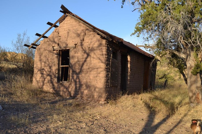
It's not often you can find adobe ruins still standing out in the desert; however, the Bradberry Cabin has withstood the test of time and remains one of the great destinations in the San Pedro River Valley. The road leading there is challenging at times, making the reward at the end all the sweeter. The views of the mighty Galiero Mountain Cliffs are stunning and really make this trip worthwhile.
Updated: 06/05/2022
1009 Black Rock Gulch
Saint George, Arizona
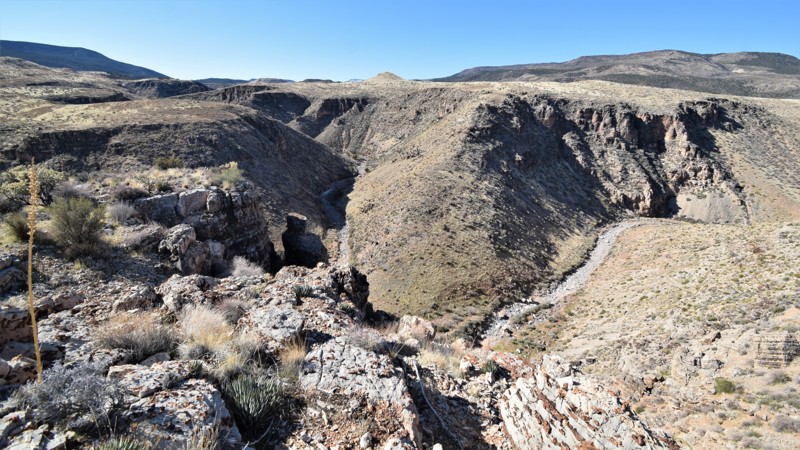
Black Rock Gulch can be considered a gateway to a truly memorable back-country off-road experience. The trail passes through scenic Arizona desert landscapes all while granting access to some of the most remote country in the United States. This trail is an ideal entry point for those looking to explore the Paiute Wilderness and the massive Grand Canyon-Parashant National Monument region. The trail is easy enough for all stock 4x4's and connects with the very popular & scenic, 1004 Black Rock Mountain trail. Around the midpoint of the route, there are several points where you can get out and enjoy the views of Black Rock Gulch, a picturesque canyon that cuts through this rugged landscape. Be sure to keep an eye out for the elusive Golden Eagles and other large predator birds that frequent this area. This area is remote, be sure to plan your route and pack for a long day or weekend on the trail.

Upgrade your Membership
Unlock all of the details on every Trail Guide and Scout Route.
Start a 7-day Free TrialCommunity
Partners

