






By clicking "ACCEPT", you agree to be the terms and conditions of each policy linked to above. You also agree to the storing of cookies on your device to facilitate the operation and functionality of our site, enhance and customize your user experience, and to analyze how our site is used.
Arizona Off-Road Trails
373
Total Trail Guides 359

4679
Detailed Waypoints 676
Try a Free 7-Day Trial and unlock it all
Start a Free Trial Most Recent Trail Reviews
Rated 4/5
Open
Visited: 09/22/2026
Hard pack, easy forest service road that is a great back way to the North Rim of the Grand Canyon.


Tyler D’Hulst
Rated 4/5
Open
Visited: 09/22/2026
Spring Canyon is a beautiful drive. We didn’t go out to the cabin but used this western section of road coming back from Crazy Jug

Tyler D’Hulst
Rated 4/5
Open
Visited: 09/22/2026
We took this out to Crazy Jug. The northern section is hard packed forest service road. Not difficult. Very scenic drive through the ponderosas.

Tyler D’Hulst
Rated 5/5
Open
Visited: 09/22/2026
View point is spectacular! Trail was easy going out, no obstacles at all. Saw a Toyota Camery at the viewpoint.


Tyler D’Hulst
Rated 3/5
Open
Visited: 09/22/2026
An alternative route out to Crazy Jug Point. It’s easy and can be scenic in areas. I’d recommend West Ryan out to Crazy Jug though.
Tyler D’Hulst
Rated 3/5
Open
Visited: 09/22/2026
A quick connector trail through the burn patch.
Tyler D’Hulst
Rated 5/5
Open
Visited: 09/20/2026
Leviathan Mine trail is a full day trip. Though it is only 20 miles in length the travel is slow and rough. Majority of the trail you will be going between 5-10 MPH. Then once at the end it connects w...



Eric Gartin
Official Crew
Rated 4/5
Open
Visited: 09/19/2026
Simple road, well graded today. Many mountain bikers coming down from the West out of Breezy Pines. Not too many people out until approaching Senator Hiway. We went East to West as I think thats a bet...



Jeff Burnett
Rated 3/5
Open
Visited: 09/19/2026
The trail itself is not spectacular, it's pretty flat across the plains. However, driving up to the overlook and seeing a huge gaping hole in the ground is a great juxtaposition to the flat trail. The...
Tyler D’Hulst
Rated 3/5
Open
Visited: 09/19/2026
A nice trail ride from the main road down off the plateau. It's graded forest service road until the switchbacks. The switchbacks themselves are not difficult, road is not graded. This section has bee...
Tyler D’Hulst
Rated 3/5
Open
Visited: 09/18/2026
The end of the trail is not well marked, and can cause confusion. Also, vehicle passes are required for all backcountry routes within the Lake Mead National Recreation Area.
Eric Gartin
Official Crew

Ted Whisler
No Rating
Open
Visited: 09/17/2026
Nice ride west side a little rocky but rating is true to #2


Ted Whisler
Rated 3/5
Open
Visited: 09/15/2026
A nice drop off the plateau heading towards Marble Canyon. Not a difficult road. Road is weathered but not challenging.
Tyler D’Hulst
No Rating
Temporary Closure
Visited: 09/15/2026
Road closed due to multiple washed out wash crossings after the turn off to go up the mountain. "Road Closed" sign put out by BLM on trail.
Tyler D’Hulst
No Rating
Temporary Closure
Visited: 09/15/2026
After the turn off to head up the mountain there are multiple washed out wash crossings. A "Road Closed" sign has been put out by the BLM.
Tyler D’Hulst

Ben Ruddell
Official Crew
Rated 4/5
Open
Visited: 09/14/2026
Bogles Ranch Road is a great Sunday afternoon drive type of dirt road that climbs up in elevation and gives some spectacular views of the surrounding area. The first half passes through State and Priv...


Eric Gartin
Official Crew
Ben Ruddell
Official Crew
Rated 3/5
Open
Visited: 09/14/2026
Antares Road is an excellent way to travel from Route 66 to the eastern portion of the Lake Mead National Recreation Area. This wide county road is well maintained with minor washboarding, most of whi...


Eric Gartin
Official Crew
Rated 3/5
Open
Visited: 09/14/2026
Hackberry road is a wide dirt road with minimal erosion damage and washboarding. There are a couple of larger washes that cross Hackberry road creating wide stretches of loose sand which can cause iss...


Eric Gartin
Official Crew
Rated 3/5
Open
Visited: 09/13/2026
This is a very rough, rocky, & slow going trail. Expect around 4+ hours for the trail & another hour to get the highway. One of those trails I'm happy I did but I wont be back personally. High clearan...

Brandon W
No Rating
Open
Visited: 09/12/2026
I think the rating is spot on. The ruts and washouts at the beginning are not as bad and if you hug the inside of the shelf road they can be avoided. The middle part is same general sandy wash with ov...



Greg Page
Rated 4/5
Open
Visited: 09/11/2026
Ran this trail as part of a larger loop. Trail is in great shape. Easy for standard 4x4 with no lift. Passengers can do it until maybe the very end by the lake where the road gets rocky and washed out...


Jeff Burnett
Rated 5/5
Open
Visited: 09/10/2026
This is one of my favorite scenic trails in the area. The trail is easy to travel, but does have some optional short trails that will test your vehicle. The views from the Grand Wash Cliffs of the Hua...


Eric Gartin
Official Crew
Rated 3/5
Open
Visited: 09/07/2026
This trail by itself is nothing special. It is mostly used as an access road to get to the more technical trail such as Homecourt, Twister, and Waynes World. This is a great trail for the beginner to ...


Eric Gartin
Official Crew
Rated 3/5
Open
Visited: 09/07/2026
This trail is an enjoyable alternate route when traveling on Blake Ranch Road (7163). The trail is easy with only a handful of spots with erosion damage. The few established camping sites appear to n...


Eric Gartin
Official Crew
Rated 5/5
Open
Visited: 09/07/2026
Ran this trail from Boynton Pass Road to Loy Butte Road (opposite direction from what is listed). Ran into a few rental ATVs and a couple of Jeeps heading the opposite way. This was a fun trail wit...



Daniel Macioce
Rated 5/5
Open
Visited: 09/07/2026
This trail was a lot of fun, plus the views were amazing. I ran the trail in the order posted, starting at the south trailhead and finishing at the heritage site. Past a motorcycle, a few jeeps and a...


Daniel Macioce
Rated 4/5
Open
Visited: 09/07/2026
Nice trail, ran West to East. For some reason the map shows this a a one-way trial, East to West. That is not the case, it is a two way trail. Was pretty washed out starting around mile 12. Plenty roc...


Jeff Burnett
No Rating
Open
Visited: 09/06/2026
New trail for me. You didn’t know what it would throw at you around every corner which is why you try to find new trails or old forgotten ones
KB
Kory Burden
Rated 5/5
Open
Visited: 09/06/2026
The trail is no joke—steep, narrow, and technical enough that you’ll want to be comfortable with off-camber shelf roads, rocky terrain, and washouts that will test your vehicles articulation. The rew...



Bobby Rumbaugh
Official Crew
Rated 5/5
Open
Visited: 09/06/2026
Fun trail if you don't want to do pyeatt draw itself. Ran this trail 3yrs ago and definitely a little more erosion but, still any truck or suv with good factory ground clearance can do it. From previo...
JM
James m
Rated 4/5
Open
Visited: 09/06/2026
Ran this trail from I-17 to Sedona. Extraordinary views descending into Sedona. As others have noted, there are lots of rock on the trail, making it slow going. Passed a large number of Pink Jeeps ...


Daniel Macioce
Rated 4/5
Open
Visited: 09/05/2026
This one definitely changed over the last few years. The southern section has some legit, steep, off-camber sections. YOU NEED experience, backup, and a capable vehicle on this one now. It's not supe...


.jpg)
Bobby Nelson
Official Crew
Rated 4/5
Open
Visited: 09/05/2026
Another amazing time on this scenic crossover. We came in from Walnut Canyon and finished out on Price Road after about 6 hours. A challenging and hot day for the old TJ. Rincon Road has evolved into ...


Bobby Nelson
Official Crew
Rated 4/5
Open
Visited: 09/05/2026
We started exactly at sunrise to try and beat the heat. We planned to crossover to Box Canyon and out on Price Road. It ended up taking us 6 hours, even with all the photos and filming we did. A chall...


Bobby Nelson
Official Crew
Rated 5/5
Open
Visited: 09/04/2026
We recently ran Four Peaks after the monsoon rains. Here’s what we found and what to expect if you’re planning to run it. Have a GR8 day!

Jeep 4 Dirt
Rated 5/5
Open
Visited: 09/04/2026
Breathtaking views. Definitely don't rush through the trail. Devil's staircase was a bit slippery but awesome. A few tight stops here and there, but a trail that's a must on anyone's to do list.



Christopher Bradley
Rated 4/5
Open
Visited: 08/30/2026
Id say this is a 3.5 to 4 trail. There are some obstacles, but nothing you really need to think hard about how to approach. If you send your vehicle at it in 4 low you'll get through everything.



Justin Holsinger
Rated 4/5
Open
Visited: 08/28/2026
Rim Road (FS300) West to East. Very well groomed gravel forest road. Accessible by just about any vehicle thats not been lowered. Who does that anyway? Scenic views the whole route. Hard to believe on...


Jeff Burnett
Rated 4/5
Open
Visited: 08/28/2026
Not a bad road but it was crowded with sxs and vehicles towing campers. Hard to rate 5 stars for a busy road. Super easy any vehicle can do this. Part is paved near the freeway but the rest is gravel.

Tony Rockwell
Rated 4/5
Open
Visited: 08/28/2026
I rated 4 stars just due to the volume of sxs & camper trailers on the road.
Easy drive, any car can do this.
Ran from sheep springs to munds park, see other reviews for full route.

Tony Rockwell
Rated 4/5
Open
Visited: 08/28/2026
I ran Bar M in reverse to get to this trail. Then headed toward Casner Park Road. (See reviews I did on each of those)
Nice easy trail that is less rough than Bar M.
Nice drive through trees.


Tony Rockwell
Rated 5/5
Open
Visited: 08/28/2026
Very bumpy due to rock infused trail. A few larger rocks, 8-12” tall in places but most stock 4x4’s should be able to navigate around or over them. I would say any 4x4 with all terrain tires could nav...


Tony Rockwell
Rated 3/5
Open
Visited: 08/27/2026
Overall decent little trail; camped out near Committee Tank (not suitable for tent camping - too rocky). Nothing too technical but enough to keep things interesting. High clearance and good line choi...


Bill Ferguson
Rated 3/5
Open
Visited: 08/27/2026
Connector from FS801 (Rock Garden Loop) to FS09494F (Committee Tank Trail); yeah, it lives up to its namesake. Very rocky. High clearance and picking good lines are an absolute must. Car camped at...

Bill Ferguson
Rated 5/5
Open
Visited: 08/27/2026
Nice trail saw some deer it’s a little rough but overall was easy


M
Maddox
Rated 5/5
Open
Visited: 08/23/2026
Great little adventure for the day. Dirt road is pretty rutted up due to monsoons, but easily drivable. Lake itself is extremely low.
LL
Larry Lapp
Rated 4/5
Open
Visited: 08/22/2026
A fun side trip that has a steep hill climb. Due to recent rains, the wildflowers were blooming.


Bobby Rumbaugh
Official Crew
Most Popular
Updated: 05/27/2024
Big Maggie May Trail
Carefree, Arizona
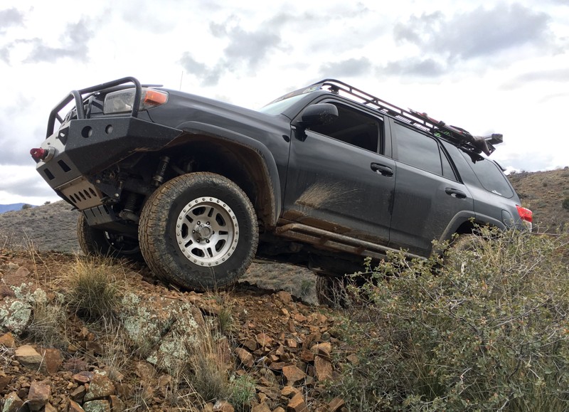
The Big Maggie May Off-Road Trail is a very easy, short 4wd route worth a couple of hours of exploration to see historic mines and frontier cabin remains. The offroad trail makes an excellent short side trip for anyone following the Cave Creek to Sheep Bridge 4x4 Trail or exploring the Table Mesa Area. The Y shaped trail first takes you to an old mine tunnel extending a short distance into the mountain before reaching a flooded section. Continuing back to the fork in the road and heading the other direction will take you to the remains of an old mining cabin. The cabin previously had walls incorporating living trees but recent Cave Creek Complex fire has destroyed most of this old cabin, although it still makes a very pleasant place to camp and explore.

Updated: 04/19/2026
Black Canyon Creek
Black Canyon City, Arizona
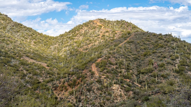
Black Canyon Creek Trail is an exciting adventure along narrow roads with outstanding scenic views. However, this trail will challenge anyone's confidence with long, steep, rocky ascents, intimidating washouts, and seriously off-camber shelf roads. The thick brush lining the trail will leave pinstriping in your vehicle's paint.
This trail is best to be driven when dry. Slippery conditions make washouts extremely dangerous. This trail is not for the novice driver or anyone who fears steep, narrow shelf roads. The trail is best suited for narrow, high clearance vehicles with skid plates, traction aid devices, and winches. Full-width vehicles should avoid this trail.
Route finding can be difficult, but the official trail only crosses Black Canyon Creek once. It then begins a short trek west before heading north. Three miles in, you must conquer loose, beachball-sized boulders. One mile later, the trail traverses the narrowest of the washouts.
At 1.3 miles from the trail's southern end are several great dispersed campsites along Black Canyon Creek.
Expect 3-4 hours to complete this trail.
Updated: 09/14/2026
Buckhorn Cabin
Wingfield, Arizona
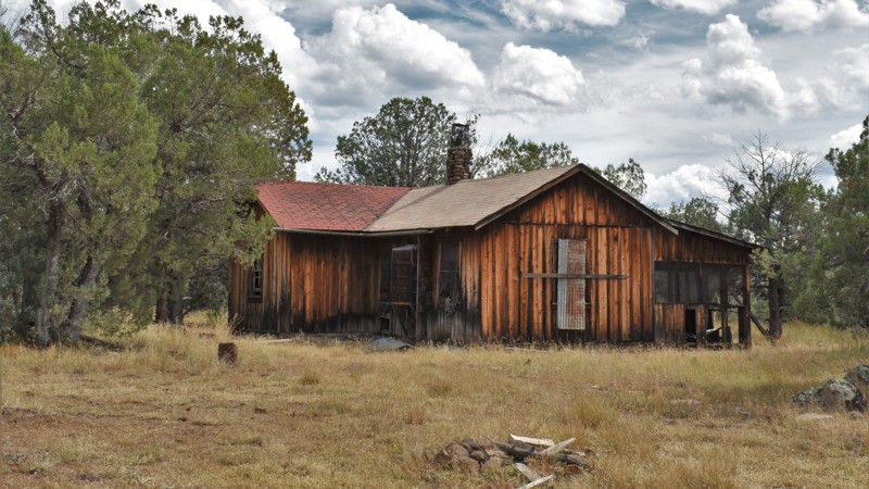
Running along the remote northern rim of West Clear Creek Wilderness, Buckhorn Cabin uses multiple trails through dense forest and wide open prairies. Take your time crossing this pristine landscape, where elk, pronghorn, and deer are abundant. Stop at the old cabin to enjoy how well it's been preserved. The trail is ideal for those wanting to get off of the area's groomed trails. This route requires 4x4, durable tires, and high clearance. You'll find numerous secluded campsites for the night or to stay for a few days to hike down into West Clear Creek Canyon, one of the best wet-hiking experiences in the United States
Updated: 06/16/2026
Deer Hill
Roosevelt, Arizona
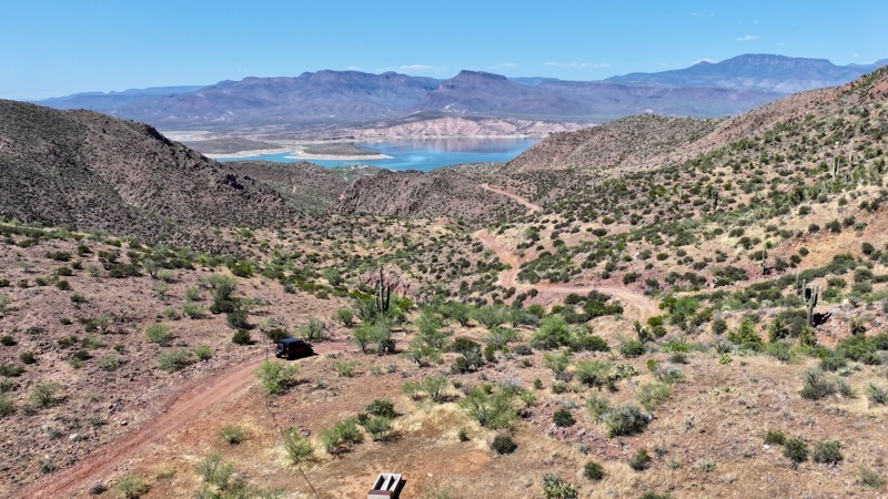
When combined with the Apache Trail and the Two Bar Ridge Trail, Deer Hill is a great way to connect two recreation areas located in the Tonto National Forest. The trail connects Apache and Roosevelt lakes while providing an off-road experience in one of the most scenic regions in the Arizona desert. One of the true highlights is the large and rare crested saguaro at Waypoint 5. Though crested saguaros are somewhat rare, this particular one is quite large and easily accessible. Biologists disagree as to why some saguaros grow in this unusual form. Some speculate that it is a genetic mutation, while others say it's the result of a lightning strike or freeze damage. At this point, we simply do not know what causes this rare, crested form. The trail also provides access to the iconic Arizona Trail and Cottonwood Trail 120. The trail leads down to the Roosevelt Lake region, where numerous recreation areas provide access to the water.
Updated: 03/02/2024
Reymert Mine
Florence, Arizona
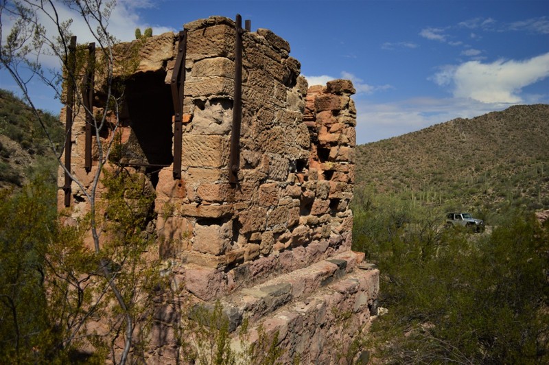
Take a short out-and-back trip through time on this easy but historic trail. The town of Reymert was initially established around a post office that started operating in 1890. Reymert was named after its founder, James DeNoon Reymart, who also founded the adjacent milling and smelting town of DeNoon. Originally a silver mine, then later a silver-manganese mine, the town's occupants primarily worked at Reymert Mine until work there stopped in the 1950s. The remnants of the town were bulldozed in the late 1970s, leaving only a couple of processing kilns and several stacked stone foundations. The entire Florence OHV area offers numerous trails to explore that will challenge both man and vehicle. There are trails for every type of vehicle and experience level.
Updated: 06/05/2022
Rucker Canyon
Willcox, Arizona
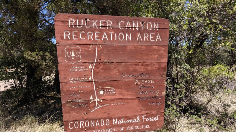
This forest drive takes you up and over the southern reaches of the Chiricahua Mountains providing access to scenic canyon country, an old military camp and ranch, and several forest camps and trails. If camping, hiking, wildlife/bird watching, and exploring history are your thing, Rucker Canyon is ideal for those activities.
This is where the Earp / Clanton / McClaury saga began, as Ike Clanton leads a party of rustlers to Camp Supply (Now Rucker) to steal some army mules in 1881. This put the Earps on their trail and ultimately lead to the showdown at the O.K. Corral.
From the grasslands of the Sulphur Springs Valley, the road climbs into the Chiricahuas via Rucker Canyon. Arizona sycamores and cypress trees shade this perennial stream and provide habitat for birds and other wildlife, while the rocky cliffs of surrounding bluffs and mountains provide a scenic backdrop. At Camp Rucker Group Use Area, FR 74E branches off as it runs parallel Rucker Creek.
A side trip up this road will lead you to cool high-country forests and a clear mountain stream. If you’d like to stay awhile, there are three developed campgrounds and several dispersed spots to provide you with that opportunity. If you would like to take a closer look at this scenic mountain getaway, there are several trails that lead into the backcountry.
(Unfortunately, Rucker Lake no longer exists. In the aftermath of the 1994 Rattlesnake Fire, slopes denuded of vegetation eroded and washed downhill, filling the lake with silt. However, a visit to the old lake bed will still be of interest to those who want to see the effects of catastrophic fire.)
Updated: 07/06/2026
Rolls 13
Fort McDowell, Arizona
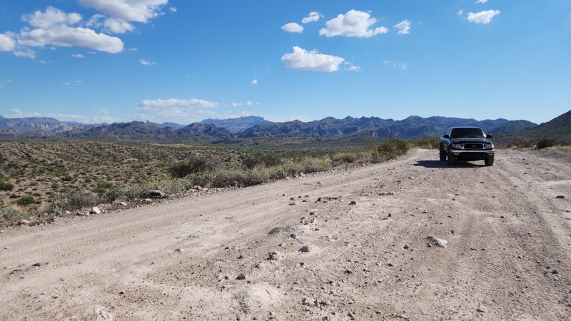
Rolls 13 bisects The Rolls OHV area with connections to most other trails. Access the trail through the Probrecito entrance off Bush Highway just north of Saguaro Lake. The trail has some camping and can be busy at times. The track is rocky, with large bumps and berms in some areas. Expect new pinstriping.
Please note that an OHV permit is now required on this trail.
Updated: 04/29/2024
Gardner Canyon Road
Sonoita, Arizona
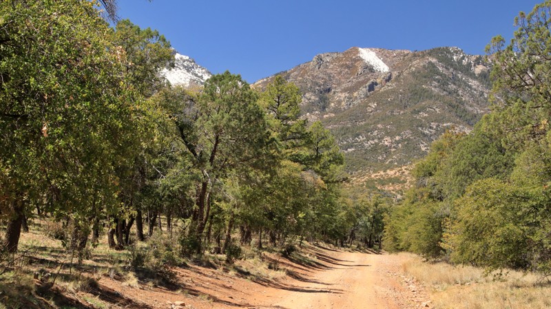
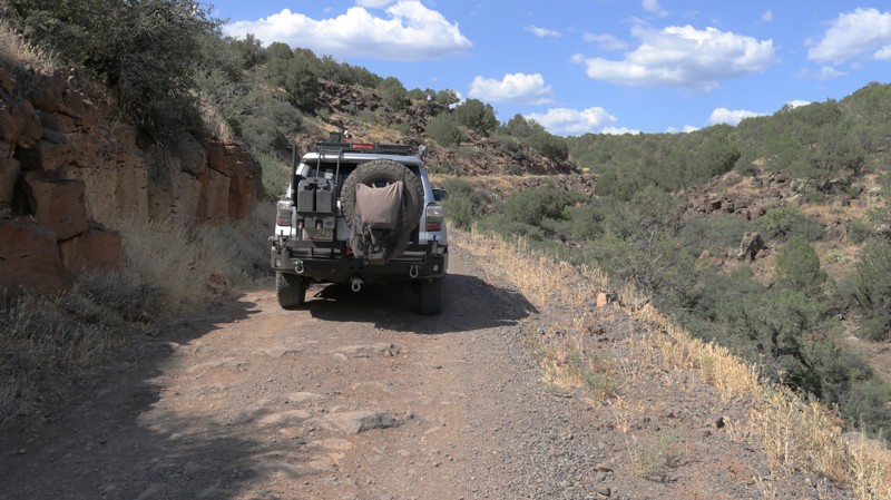
Gardner Canyon Road packs a lot into its 8.7 miles. There's world-class camping in both designated and dispersed sites. The lack of nearby cities means dark skies and a carpet of twinkling stars above that campsite. The views of the Santa Rita Mountains looming above the trail's end are inspiring. Bucolocly beautiful Apache Springs Ranch reminds you of that early ambition to be a cowboy. The splashy crossing of Cave Creek is just bumpy enough to be fun. Trailheads for a myriad of hiking trails, including the world-class Arizona Trail, remind you that you should get out and stretch your legs in the crisp, clean air of this vast countryside.
Updated: 02/05/2024
Blue Grade Road
Camp Verde, Arizona
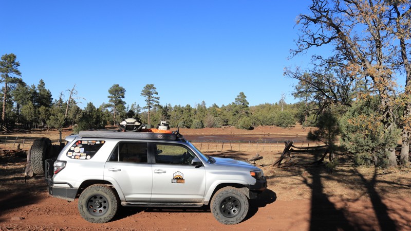
In 1864, President Lincoln tasked Lieutenant Colonel J. Francis Chavez to escort the new territorial governor of Arizona from Santa Fe, New Mexico, to Prescott, Arizona. Unfortunately, there was no road between the two cities. One major obstacle was the descent off Arizona's Mogollon Rim into the Verde Valley. Chavez's navigation skills led to a stage route and thus was born the path of the Blue Grade Road. Today's hearty traveler can exit the interstate and climb the scenic Blue Grade in far more comfort than those who once negotiated the rocky passage in a rickety stagecoach. With excellent views along the way, the road leads you up from the lush Wet Beaver Creek area into a pine and juniper forest. Located in the Coconino National Forest, be on the lookout for elk, deer, bear, and wild turkeys. And yes, this is also cattle country, so watch out for cows on the road as well as where you step.
Updated: 10/20/2023
Clover Springs
Payson, Arizona
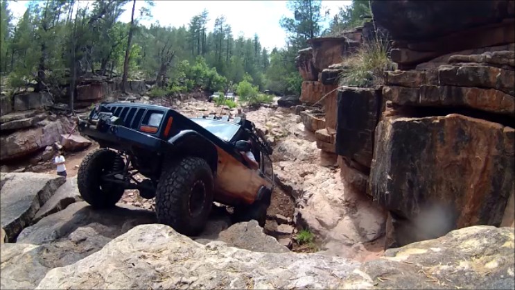
Clover Springs is a tale of two trails, and thus more interesting. One part of the trail is as rough as a corncob enema. The other portion is as silky smooth as your grandmother's buttermilk pie. Turning off Highway 260 onto the west end of the trail brings you almost immediately into some fun little obstacles. Most have several choices of lines. Decisions based on your rig's unique characteristics may leave you scratching your head. They aren't overly difficult, just enough to make it fun and interesting. In a few places, erosion has cut nice washouts, which will test the level of travel in your suspension. Bone-jarring sections of trail consist of nothing more than cannonballs and larger-sized rocks jarring your rig, you, and everything else. There are a few bypasses. Just when you have had enough, the trail becomes as easy as pie. Clover Springs becomes a stroll through a huge Ponderosa Pine studded park. Deer, elk, javelina, turkey, and the occasional cow may cross the road in front of you or be lurking in the brush nearby. Wonderful campsites beckon you to slow down and spend some time around a campfire. So what's it gonna be? Corncob? Pie? Why not both?
Updated: 11/07/2022
Pyeatt Draw Parallel
Payson, Arizona
The Pyeatt Draw Parallel offers beautiful scenes of tall pines, rocky creek bottoms, and the occasional elk and deer. The trail gets its name due to the fact it runs parallel to the more difficult 2006 BF Goodrich Outstanding Trail, [Pyeatt Draw](http://www.trailsoffroad.com/trails/1125-payette-draw). You get to enjoy two trails at once because this trail gives you cool vantage points to watch off roaders tackling Pyeatt draw, the trail next to you. The last obstacle on Pyeatt Draw, The Final Waterfall is particularly entertaining to watch. The typical line on the last obstacle is to the far left of the trail however, hardcore buggies will sometimes try the line directly in the middle of the creek. Whatever way is used to conquer the trail, you are bound see some impressive rock crawling skills. There are many places to camp along this trail and it makes for a full and fun day combining the two trails.

Updated: 06/05/2022
Palomas Harquahala Road
Quartzsite, Arizona
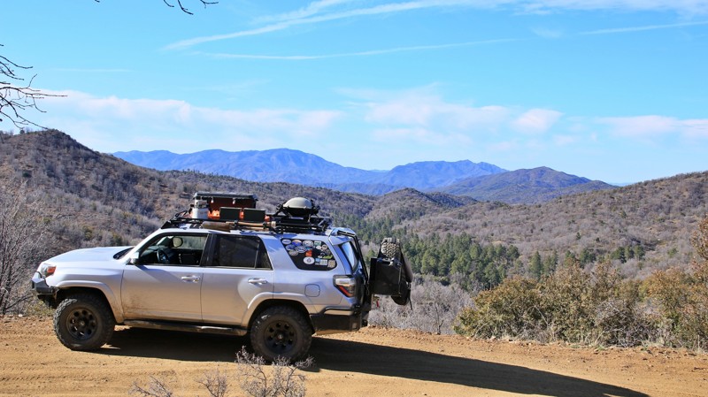
The sun woke me. In compensation for interrupting my dreams, it offered the quintessential western skyline for my consideration. Backlit in hues of burned orange, melted copper, and baby blue, jagged peaks of the Eagletail Mountains sawtoothed the eastern sky. Silhouetted on closer hills, saguaros stood as silent sentinels of the dawn. The lower Sonoran Desert is at its best at sunrise, all peace and stillness and beauty. The Palomas Harquahala Road crosses the expansive Palomas Plain to the Clanton Hills, traces the western edge of the Eagletail Mountains Wilderness, parallels sandy Deadman Wash up into Nottbusch Valley, and skirts the western edge of Cemetary Ridge before passing in the shadow of Deadman Mountain. The names alone bespeak adventure. The trail cuts through a flat desert sea of creosote bush, bursage, and brittlebush. The sameness is broken here and there by saguaro and ocotillo. Like green ribbons, the washes snake through the desert with their overgrown banks of palo verde, mesquite, and ironwood. Corrals and windmills, many still in use, evoke an earlier time when rugged men came here to eke out a living in this arid landscape. In that pursuit, they cut the trails we drive today. Download the track. Pack your gear. Gas up the rig. Take a ride on a long trail.
Updated: 01/20/2024
Big Bug Mesa
Prescott Valley, Arizona
The Southwest can have the most interesting and unlikely names for places. That is probably a result of native history, Spanish influence, and European exploration all adding and mixing names onto the maps. Often, the origins of many names are lost to history. So how did Big Bug Mesa, set high in the Prescott National Forest, get that moniker? There is also a Big Bug Creek, and once was a small mining village in the late 1800s along the creek with the same name. Likely, it was an encounter between a giant beetle and Theodore Boggs, who founded his small settlement of Big Bug and mined in the area. Boggs had survived as a 10-year-old member of the ill-fated Donner Party and was the great-grandson of Daniel Boone. That he would be so inspired by a large insect either says much about the insect or a little about him. Only Boggs knows for sure, and he is no longer available to tell us the story. Big Bug Mesa is a relatively broad, flat feature along the northeastern slopes of the Bradshaw Mountains. The area is seldom visited except by hardy ranchers and a few hunters searching for the mesa's plentiful deer and turkey. Covered in Ponderosa pines, juniper, and even the ancient alligator juniper, the mesa is green and high enough into the mountains to see heavy winter snow and have relatively mild summer temperatures. The main trail into Big Bug Mesa starts easy enough but turns rocky towards the end, providing a workout for both your suspension and kidneys. The trail becomes smoother in the open pine forest but is often beset by rutted mudholes. All that means you will likely experience solitude on Big Bug Mesa, except for the deer, turkeys, and apparently, at least one very large bug.
Updated: 04/26/2024
Workman Creek
Roosevelt, Arizona
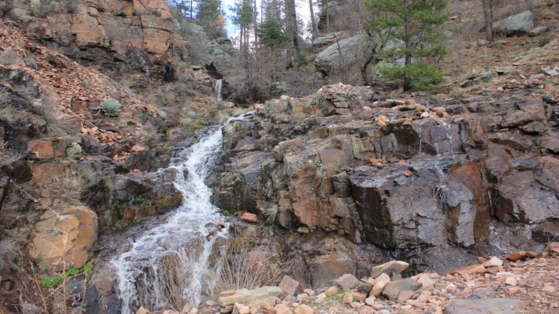
This trail, situated in the heart of Tonto National Forest, is a great trail off of the Desert to Pines Hwy 288. The trail travels next to the stream bed, through the forest, up a ridge-line, and ends atop Aztec Peak at the Forest Service Lookout Tower. The real gem of this trail is the waterfall 3 miles in. It flows nearly year-round and is very scenic. You must take some time and take in the view.
It is worthwhile to travel this trail in differing weather conditions. The views are absolutely beautiful in the sunshine, from the Workman Creek Valley to the top of Aztec Peak. It is also stunning to experience in rainy or snowy conditions. Take care as the trail becomes very slippery. However, to see the clouds roll over the cliffs at the waterfall is amazing. You can stand at the edge of a rock shelf at the stone furniture and feel the water as it rains up the slope during windy and rainy conditions. It's awesome to witness.
The Workman Creek sprouts several hiking trails that lead into the Sierra Ancha Wilderness. From there you can see the Devils Chasm and cliff dwellings from above. It's truly awe-inspiring. Camping is not allowed at elevations below the falls due to the radiation exposure potential. There are abundant campsites above the falls though.
If you are into hunting or just watching the animals, you may find whitetail deer, bear, elk, turkey, javelina, mountain lion as well as other species.
Updated: 05/17/2024
Antelope Creek Road
Mayer, Arizona
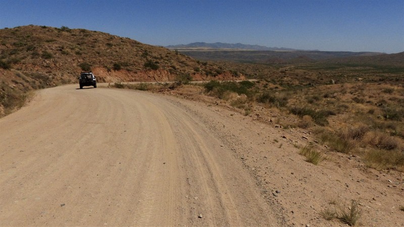
Located in central Arizona, Antelope Creek Road was a key transportation route for ranchers and miners before paved roads were introduced into the area. Driving along the winding desert road today, you still see ranchers with large stock trailers moving cattle to market or greener pastures along with hikers and mountain bikers headed to one of several trailheads for the Black Canyon National Trail. Located almost exclusively on BLM land, the road follows Antelope Creek to the historic ghost town of Cordes Station. The trail crosses Antelope Hill before slaloming downhill to join the Crown King Road. Antelope Hill offers impressive views of the nearby Bradshaw Mountains and the modern-day mining operations in its foothills. The campsites atop Antelope Hill look down on the captivating tableau of the canvas-tan, dried grass flatlands of Perry Mesa, and the Agua Fria National Monument.
Updated: 01/08/2024
Battleground Ridge
Payson, Arizona
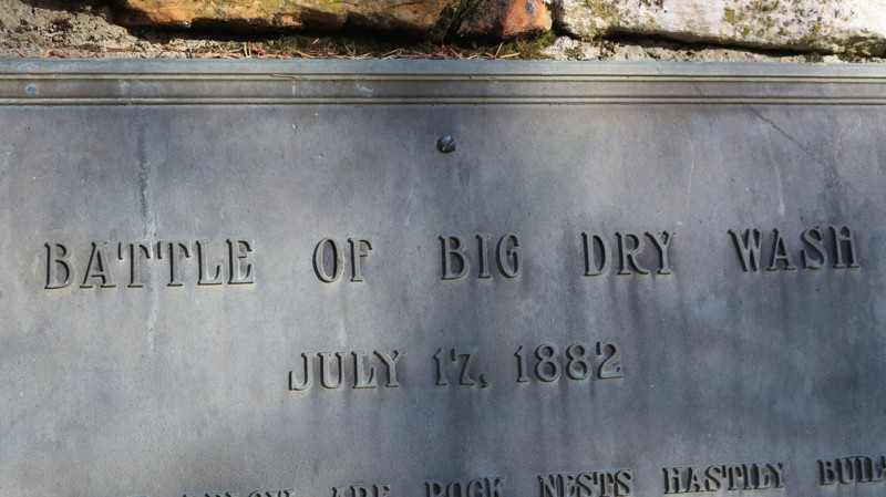
In 1882, White Mountain Apache warriors, led by Na-tio-tish, got into an altercation with and killed several policemen in San Carlos, Arizona. Eighty warriors, chased by U.S. cavalry, crossed the Tonto Basin and climbed onto the Mogollon Rim. They laid a trap for the pursuing cavalry on a rugged side canyon of East Clear Creek. The cavalry's scout ferreted out the trap. The fight raged for an afternoon until a severe afternoon thunderstorm halted hostilities. The warriors escaped in the night and returned to the reservation, leaving behind 20 dead Apaches, with two dead and six wounded among the cavalry troops. Nearly lost to history, today, a lonely marker stands on the site, and the entire area is called Battleground Ridge. Battleground Ridge, also known as FR 123, is a distinctive trail for two reasons. First is the obvious connection to the obscure bloody battle fought here. Secondly, an aqueduct that pumps water from the C.C. Cragin Reservoir down to Payson runs along a portion of the trail. You can see the roadside access points; round metal covers every hundred yards along the trail. A small power line brings electricity to the pump station near Waypoint 10. But take a step away from both the history and the modern, and you overwhelmingly sense the remoteness of this place deep in the uplifted country of the Mogollon Rim. The wind, as it always has, sings through the upper branches of the tall Ponderosa Pines. Elk bugle on the ridges and down in the deep canyons. Flocks of shy wild turkeys scratch the forest floor for a meal. Gazing across the deep canyon at the trail's end to the distant forest-blanketed ridgelines of this wild landscape, both the past and present seem very far away.

Updated: 04/05/2024
Wilbanks Road
Quartzsite, Arizona
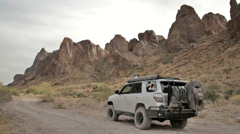
Surrounded by mountains, Saguaro and Ocotillo, your adventure begins in the middle of nowhere, deep in the Kofa National Wildlife Refuge. Wilbanks Road is a rugged overland drive through the inner sanctum of one of the more scenic and unique mountain ranges in the Arizona Desert, the Kofa Mountains. The heart of the experience lies in knowing that you are far from services, far from civilization, and far from help if something goes wrong. Combine this road with the others in the area for a truly unique off-road adventure through a seldom-used and wild landscape known as Kofa.
Updated: 02/23/2024
Kofa Queen Canyon
Quartzsite, Arizona
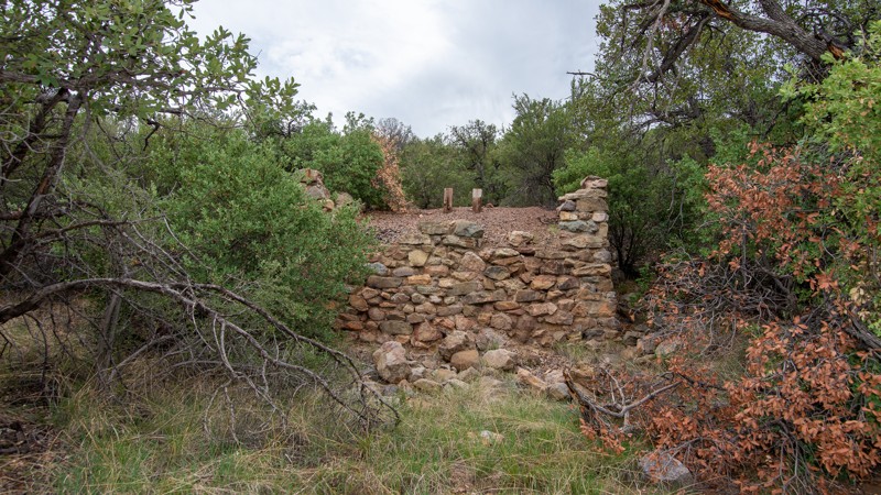
Every king needs a queen. Kofa got its name from the abbreviation for the large King of Arizona Mine. So it wasn't much of an imaginary stretch when prospectors named their small nearby mine the Kofa Queen. Today only the mineshafts and a few small stone walls remain where miners once toiled in the Kofa Queen. But the scenic sandy canyon that provided access to the mine back in the day now provides hikers and offroaders access deep into the Kofa Mountains. Beginning on the King Valley's vast plain, the trail marches relentlessly toward the low jagged ridgelines of the igneous Kofa Mountains. These are not gentle wind-sculpted sandstone bluffs. Rather these edifices were violently created from near-molten heavy minerals violently pushed up from deep below the earth's mantle, bringing with them the precious gold, silver, and manganese that the miners came here to find. Today those formations are valued for their rugged, angular beauty by the hardy folk who venture here. Dropping into the wide sandy canyon takes you into the depth of the mountains. Formations in many improbable shapes surround you. Scary Skull Rock is just one apparition formed by the immeasurable forces that created this landscape. Side canyons invite you to explore deeper on foot. The many campsites beckon you to spend time and take it all in. The trail ends near the site of the Kofa Queen Mine. The Kofa Mountains gave the miners gold. What will the mountains and Kofa Queen Canyon give you?
Updated: 10/29/2023
Fish Canyon
Sonoita, Arizona
If you think the destination is as important as the journey, the kinds of artifacts you can see along this trail will really pique your interest.
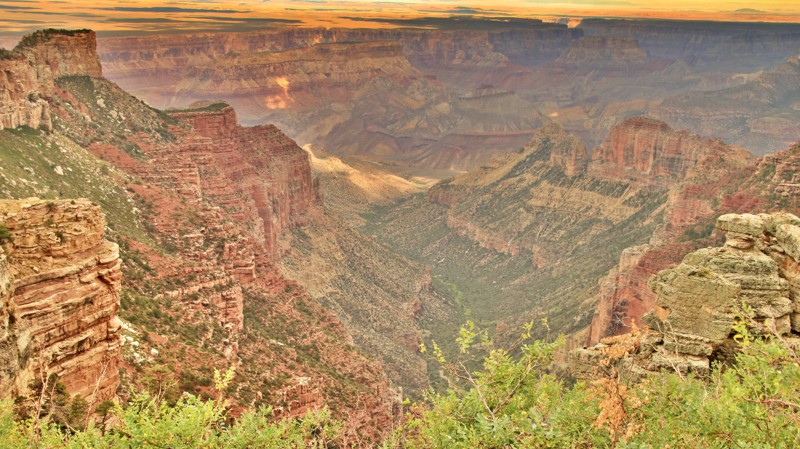
Deep in the foothills of the Santa Rita Mountains southeast of Tucson, you can find this hidden gem. Fish Canyon is part of a broad plain of drainages that feed out into Cave Creek and eventually down into the Tucson valley. This area is rich in mining history with old buildings and mines from when gold was once king here. In fact, do not be surprised if you run into gold panners in the creek beds along this trail.
There are just enough four-wheel-drive challenges along this road to encourage you to drop into low range on your transfer case.
Updated: 10/15/2024
Dog Saddle
North Rim, Arizona
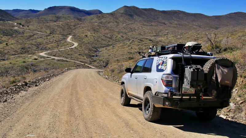
Ever wonder where roads get their names? Typically dogs don't wear saddles. Dog Saddle runs from Dog Point in the north to the Saddle Mountain Trailhead in the south. There's a small campsite with a view from the spur at the trail's northern end. Aspen trees along the roadside dominate the middle of the trail. In the Fall, they turn yellow, giving the road the illusion of being a golden tunnel. The road runs ramrod straight along the border of the Grand Canyon National Park. At the southern end of the road lies the Saddle Mountain Trailhead, a hike through the Saddle Mountain Wilderness to connect with the Nankoweap Trail into the Grand Canyon. There are a few small campsites at the trailhead with good canyon views.
Updated: 06/05/2022
Pine Flats
Mayer, Arizona
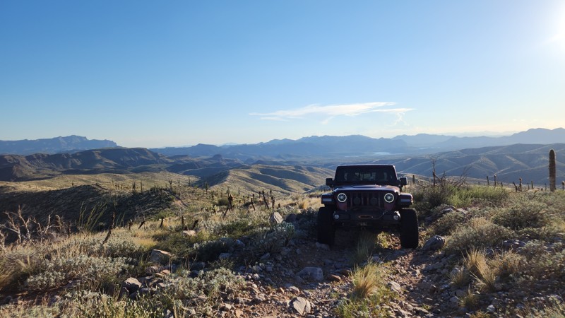
Flat places. Many of us live in flat places with their perfectly surveyed checkerboard of straight roads, all leading to properly homogenized and carefully structured sameness. But our souls live in the mountains. We feel ourselves coming alive when we point our rigs up a twisting, winding snake of a road that leads up into a wildly disorganized and jumbled mountain range. Add a few gurgling mountain streams and the whistling song of the wind in the tops of tall pines, and we are happy boys and girls again. Pine Flats, so named for the level Ponderosa studded valley about 8 miles up the trail, is not an overly exciting road. There are no challenging obstacles. You won't shift in and out of low range. There are a lot of things this trail isn't. But Pine Flats possesses unmistakably fine attributes. The views are long across the valleys below. Looking upward, there's always a ridgeline teasing you to climb higher yet. Splashing through the water crossings is somehow childishly satisfying. Catching a glimpse of a doe and fawn amongst the trailside brush makes you smile. Listening to the relaxing harmony of a mountain stream sluicing over multihued granite boulders as you picnic or camp soothes the frayed nerves of we flat land dwellers. Take an easy ride up Pine Flats into the Bradshaw Mountains. There's lots of adventure beyond the end of the trail if that's what you're after. But your soul will appreciate what Pine Flats isn't.
Updated: 04/01/2025
Rolls 401A
Tortilla Flat, Arizona
Rolls 401A is a rocky and somewhat challenging trail on the eastern edge of The Rolls area, beginning just past where 401 and 13 intersect. The trail provides access to various hiking and horse-riding trails and is enjoyable, with beautiful views of the Four Peaks and Salt River Valley areas. The trail is rarely used much and has significant wash-out areas, with the very end blocked off about 300 yards early due to what appears to have been a flash flood. Expect pinstripes with 20+ degree rocky climbing, off-camber spots, and tight turns. There's no camping available along the trail.
Please note that an OHV permit is now required on this trail.
Updated: 09/19/2026
Marble Canyon Overlook
Bitter Springs, Arizona
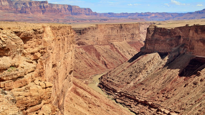
Marble Canyon is the first section of the Grand Canyon, so named for the whitish Kaibab Limestone that forms the canyon's walls. This trail leads to a remote campsite overlooking Marble Canyon and the Colorado River. To the west is the Kaibab Plateau, and north is the Vermillion Cliffs. There are several steep wash crossings and rock ledges.
Updated: 09/23/2022
Black Canyon Road
Heber-Overgaard, Arizona
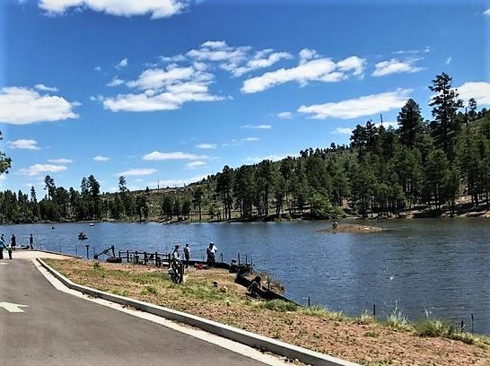
Black Canyon Road is a very easy trail and a delightful way to spend an afternoon exploring the Mogollon Rim and learning about the area's long and diverse history. The trail begins at Black Canyon Lake, a picturesque mountain lake much less crowded than the nearby popular Woods Canyon Lake. A 1-mile hike takes you to the gravesite of three cowboys lynched and hung from a ponderosa tree nearby, unfortunate victims of the Pleasant Valley War between feuding ranchers. Further down the road are pullouts for old homesteads, native american ruins, and ancient petroglyphs. The trail offers numerous historical markers with informational signage. Black Canyon Road is a great day trip for a family with young children or anyone interested in the region's colorful history.

Upgrade your Membership
Unlock all of the details on every Trail Guide and Scout Route.
Start a 7-day Free TrialCommunity
Partners

