






By clicking "ACCEPT", you agree to be the terms and conditions of each policy linked to above. You also agree to the storing of cookies on your device to facilitate the operation and functionality of our site, enhance and customize your user experience, and to analyze how our site is used.
Arizona Off-Road Trails
373
Total Trail Guides 359

4679
Detailed Waypoints 676
Try a Free 7-Day Trial and unlock it all
Start a Free Trial Most Recent Trail Reviews
Rated 4/5
Open
Visited: 09/22/2026
Hard pack, easy forest service road that is a great back way to the North Rim of the Grand Canyon.


Tyler D’Hulst
Rated 4/5
Open
Visited: 09/22/2026
Spring Canyon is a beautiful drive. We didn’t go out to the cabin but used this western section of road coming back from Crazy Jug

Tyler D’Hulst
Rated 4/5
Open
Visited: 09/22/2026
We took this out to Crazy Jug. The northern section is hard packed forest service road. Not difficult. Very scenic drive through the ponderosas.

Tyler D’Hulst
Rated 5/5
Open
Visited: 09/22/2026
View point is spectacular! Trail was easy going out, no obstacles at all. Saw a Toyota Camery at the viewpoint.


Tyler D’Hulst
Rated 3/5
Open
Visited: 09/22/2026
An alternative route out to Crazy Jug Point. It’s easy and can be scenic in areas. I’d recommend West Ryan out to Crazy Jug though.
Tyler D’Hulst
Rated 3/5
Open
Visited: 09/22/2026
A quick connector trail through the burn patch.
Tyler D’Hulst
Rated 5/5
Open
Visited: 09/20/2026
Leviathan Mine trail is a full day trip. Though it is only 20 miles in length the travel is slow and rough. Majority of the trail you will be going between 5-10 MPH. Then once at the end it connects w...



Eric Gartin
Official Crew
Rated 4/5
Open
Visited: 09/19/2026
Simple road, well graded today. Many mountain bikers coming down from the West out of Breezy Pines. Not too many people out until approaching Senator Hiway. We went East to West as I think thats a bet...



Jeff Burnett
Rated 3/5
Open
Visited: 09/19/2026
The trail itself is not spectacular, it's pretty flat across the plains. However, driving up to the overlook and seeing a huge gaping hole in the ground is a great juxtaposition to the flat trail. The...
Tyler D’Hulst
Rated 3/5
Open
Visited: 09/19/2026
A nice trail ride from the main road down off the plateau. It's graded forest service road until the switchbacks. The switchbacks themselves are not difficult, road is not graded. This section has bee...
Tyler D’Hulst
Rated 3/5
Open
Visited: 09/18/2026
The end of the trail is not well marked, and can cause confusion. Also, vehicle passes are required for all backcountry routes within the Lake Mead National Recreation Area.
Eric Gartin
Official Crew

Ted Whisler
No Rating
Open
Visited: 09/17/2026
Nice ride west side a little rocky but rating is true to #2


Ted Whisler
Rated 3/5
Open
Visited: 09/15/2026
A nice drop off the plateau heading towards Marble Canyon. Not a difficult road. Road is weathered but not challenging.
Tyler D’Hulst
No Rating
Temporary Closure
Visited: 09/15/2026
Road closed due to multiple washed out wash crossings after the turn off to go up the mountain. "Road Closed" sign put out by BLM on trail.
Tyler D’Hulst
No Rating
Temporary Closure
Visited: 09/15/2026
After the turn off to head up the mountain there are multiple washed out wash crossings. A "Road Closed" sign has been put out by the BLM.
Tyler D’Hulst

Ben Ruddell
Official Crew
Rated 4/5
Open
Visited: 09/14/2026
Bogles Ranch Road is a great Sunday afternoon drive type of dirt road that climbs up in elevation and gives some spectacular views of the surrounding area. The first half passes through State and Priv...


Eric Gartin
Official Crew
Ben Ruddell
Official Crew
Rated 3/5
Open
Visited: 09/14/2026
Antares Road is an excellent way to travel from Route 66 to the eastern portion of the Lake Mead National Recreation Area. This wide county road is well maintained with minor washboarding, most of whi...


Eric Gartin
Official Crew
Rated 3/5
Open
Visited: 09/14/2026
Hackberry road is a wide dirt road with minimal erosion damage and washboarding. There are a couple of larger washes that cross Hackberry road creating wide stretches of loose sand which can cause iss...


Eric Gartin
Official Crew
Rated 3/5
Open
Visited: 09/13/2026
This is a very rough, rocky, & slow going trail. Expect around 4+ hours for the trail & another hour to get the highway. One of those trails I'm happy I did but I wont be back personally. High clearan...

Brandon W
No Rating
Open
Visited: 09/12/2026
I think the rating is spot on. The ruts and washouts at the beginning are not as bad and if you hug the inside of the shelf road they can be avoided. The middle part is same general sandy wash with ov...



Greg Page
Rated 4/5
Open
Visited: 09/11/2026
Ran this trail as part of a larger loop. Trail is in great shape. Easy for standard 4x4 with no lift. Passengers can do it until maybe the very end by the lake where the road gets rocky and washed out...


Jeff Burnett
Rated 5/5
Open
Visited: 09/10/2026
This is one of my favorite scenic trails in the area. The trail is easy to travel, but does have some optional short trails that will test your vehicle. The views from the Grand Wash Cliffs of the Hua...


Eric Gartin
Official Crew
Rated 3/5
Open
Visited: 09/07/2026
This trail by itself is nothing special. It is mostly used as an access road to get to the more technical trail such as Homecourt, Twister, and Waynes World. This is a great trail for the beginner to ...


Eric Gartin
Official Crew
Rated 3/5
Open
Visited: 09/07/2026
This trail is an enjoyable alternate route when traveling on Blake Ranch Road (7163). The trail is easy with only a handful of spots with erosion damage. The few established camping sites appear to n...


Eric Gartin
Official Crew
Rated 5/5
Open
Visited: 09/07/2026
Ran this trail from Boynton Pass Road to Loy Butte Road (opposite direction from what is listed). Ran into a few rental ATVs and a couple of Jeeps heading the opposite way. This was a fun trail wit...



Daniel Macioce
Rated 5/5
Open
Visited: 09/07/2026
This trail was a lot of fun, plus the views were amazing. I ran the trail in the order posted, starting at the south trailhead and finishing at the heritage site. Past a motorcycle, a few jeeps and a...


Daniel Macioce
Rated 4/5
Open
Visited: 09/07/2026
Nice trail, ran West to East. For some reason the map shows this a a one-way trial, East to West. That is not the case, it is a two way trail. Was pretty washed out starting around mile 12. Plenty roc...


Jeff Burnett
No Rating
Open
Visited: 09/06/2026
New trail for me. You didn’t know what it would throw at you around every corner which is why you try to find new trails or old forgotten ones
KB
Kory Burden
Rated 5/5
Open
Visited: 09/06/2026
The trail is no joke—steep, narrow, and technical enough that you’ll want to be comfortable with off-camber shelf roads, rocky terrain, and washouts that will test your vehicles articulation. The rew...



Bobby Rumbaugh
Official Crew
Rated 5/5
Open
Visited: 09/06/2026
Fun trail if you don't want to do pyeatt draw itself. Ran this trail 3yrs ago and definitely a little more erosion but, still any truck or suv with good factory ground clearance can do it. From previo...
JM
James m
Rated 4/5
Open
Visited: 09/06/2026
Ran this trail from I-17 to Sedona. Extraordinary views descending into Sedona. As others have noted, there are lots of rock on the trail, making it slow going. Passed a large number of Pink Jeeps ...


Daniel Macioce
Rated 4/5
Open
Visited: 09/05/2026
This one definitely changed over the last few years. The southern section has some legit, steep, off-camber sections. YOU NEED experience, backup, and a capable vehicle on this one now. It's not supe...


.jpg)
Bobby Nelson
Official Crew
Rated 4/5
Open
Visited: 09/05/2026
Another amazing time on this scenic crossover. We came in from Walnut Canyon and finished out on Price Road after about 6 hours. A challenging and hot day for the old TJ. Rincon Road has evolved into ...


Bobby Nelson
Official Crew
Rated 4/5
Open
Visited: 09/05/2026
We started exactly at sunrise to try and beat the heat. We planned to crossover to Box Canyon and out on Price Road. It ended up taking us 6 hours, even with all the photos and filming we did. A chall...


Bobby Nelson
Official Crew
Rated 5/5
Open
Visited: 09/04/2026
We recently ran Four Peaks after the monsoon rains. Here’s what we found and what to expect if you’re planning to run it. Have a GR8 day!

Jeep 4 Dirt
Rated 5/5
Open
Visited: 09/04/2026
Breathtaking views. Definitely don't rush through the trail. Devil's staircase was a bit slippery but awesome. A few tight stops here and there, but a trail that's a must on anyone's to do list.



Christopher Bradley
Rated 4/5
Open
Visited: 08/30/2026
Id say this is a 3.5 to 4 trail. There are some obstacles, but nothing you really need to think hard about how to approach. If you send your vehicle at it in 4 low you'll get through everything.



Justin Holsinger
Rated 4/5
Open
Visited: 08/28/2026
Rim Road (FS300) West to East. Very well groomed gravel forest road. Accessible by just about any vehicle thats not been lowered. Who does that anyway? Scenic views the whole route. Hard to believe on...


Jeff Burnett
Rated 4/5
Open
Visited: 08/28/2026
Not a bad road but it was crowded with sxs and vehicles towing campers. Hard to rate 5 stars for a busy road. Super easy any vehicle can do this. Part is paved near the freeway but the rest is gravel.

Tony Rockwell
Rated 4/5
Open
Visited: 08/28/2026
I rated 4 stars just due to the volume of sxs & camper trailers on the road.
Easy drive, any car can do this.
Ran from sheep springs to munds park, see other reviews for full route.

Tony Rockwell
Rated 4/5
Open
Visited: 08/28/2026
I ran Bar M in reverse to get to this trail. Then headed toward Casner Park Road. (See reviews I did on each of those)
Nice easy trail that is less rough than Bar M.
Nice drive through trees.


Tony Rockwell
Rated 5/5
Open
Visited: 08/28/2026
Very bumpy due to rock infused trail. A few larger rocks, 8-12” tall in places but most stock 4x4’s should be able to navigate around or over them. I would say any 4x4 with all terrain tires could nav...


Tony Rockwell
Rated 3/5
Open
Visited: 08/27/2026
Overall decent little trail; camped out near Committee Tank (not suitable for tent camping - too rocky). Nothing too technical but enough to keep things interesting. High clearance and good line choi...


Bill Ferguson
Rated 3/5
Open
Visited: 08/27/2026
Connector from FS801 (Rock Garden Loop) to FS09494F (Committee Tank Trail); yeah, it lives up to its namesake. Very rocky. High clearance and picking good lines are an absolute must. Car camped at...

Bill Ferguson
Rated 5/5
Open
Visited: 08/27/2026
Nice trail saw some deer it’s a little rough but overall was easy


M
Maddox
Rated 5/5
Open
Visited: 08/23/2026
Great little adventure for the day. Dirt road is pretty rutted up due to monsoons, but easily drivable. Lake itself is extremely low.
LL
Larry Lapp
Rated 4/5
Open
Visited: 08/22/2026
A fun side trip that has a steep hill climb. Due to recent rains, the wildflowers were blooming.


Bobby Rumbaugh
Official Crew
Most Popular
Updated: 04/15/2026
Marshall Lake
Flagstaff, Arizona
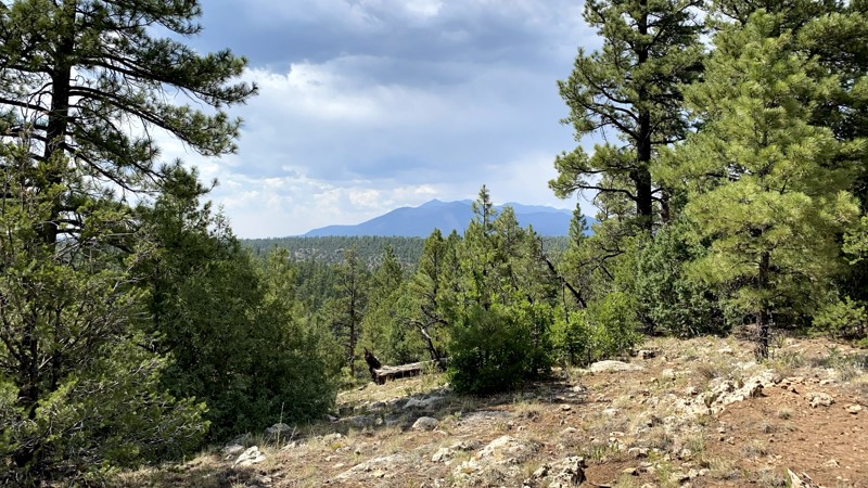
On FR128 to Marshall Lake, or the "South of Walnut Canyon," you will discover Boondocking and ATV heaven, with scattered views of the San Francisco Peaks! There are many side roads and dispersed campsites accessible to more robust RVs and trailers for camping. Usage on the trail's northern end close to I-40 is low even during peak season when the rest of Flagstaff is bonkers.

Updated: 09/22/2026
New River Mesa
Camp Creek, Arizona
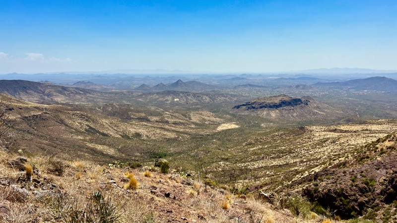
New River Mesa, FR 17, is an out and back trail that offers several opportunities for secluded camping and great photography along the mesa's eastern and southern edges. The trail starts easy and remains so for the first two miles. Once you turn west into the gate to go up on the mesa, the trail becomes more challenging and bumpy. Up on the mesa, sections of the trail become difficult to follow. Sometimes, the main trail is washed out, and you must work around the damage. The trail has faded into grass and scrub growth in other areas. The payoff is fantastic views south in the Valley of the Sun.
Updated: 01/21/2026
BLM 9094
Morristown, Arizona
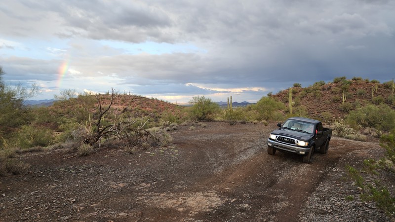
BLM 9094 connects Highway 60 south of Morristown to Vulture Mine Road near Vulture City Ghost Town. The road begins off Gates Road and crosses Hassayampa River, which is generally a dry wash. Be aware and careful of potential flash floods or extremely muddy conditions. The road is sandy, gravelly, pinstripey, and rocky in places. The track goes in and out of various washes along the way. A stock 4x4 can do the trail without problems. There is intermittent camping and great views of the south and east parts of the Phoenix valley. There are a lot of other roads going off various directions that have very good BLM signage.
Updated: 07/05/2024
Italian Trap
Tucson, Arizona
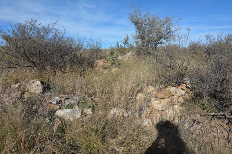
Italian Trap Road #37 leads to a large cattle tank that at one time provided a third access route to Chiva Falls from the east down the Tanque Verde Creek. The Tanque Verde Creek portion of this access has long been closed off, but you can still head over to FR# 4417 (The Chiva Falls Middle Access Way) via a short road: FR# 4424 Italian Trap To Chiva Falls Middle access connector which heads out over from the intersection near Italian Trap Tank. The reward for this trail is at the end, where the Arizona Trail crosses the creek and you can explore an old corral, well, and an abandoned homestead. There are very nice mesquite-shaded camp spots back at the end of the trail that offers solitude from the hustle and bustle that is Redington Pass.
Updated: 03/08/2026
Secret Pass
Golden Valley, Arizona
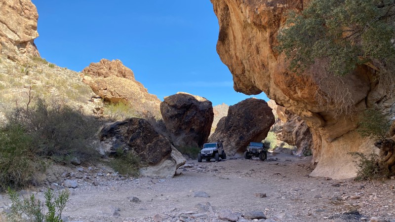
Secret Pass sits between Kingman and Bullhead City, Arizona, on a sliver of open desert surrounded by the Mount Nut Wilderness. What starts as an easy dirt road through the rolling hills of Golden Valley, Arizona, turns technical and rocky as it approaches the deep narrow canyon of Secret Pass. Scattered rock obstacles over the sand wash floor and tall, overhanging canyon walls make Secret Pass a unique and challenging trail that will become one of your favorites.
Secret Pass is an out-and-back trail, ending at the wilderness border on the west end. What you down on the way on in, you have to go back up to get out.
Updated: 09/19/2026
Buck Farm Point
North Rim, Arizona
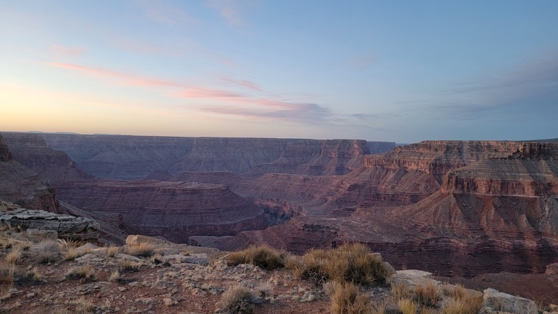
Traveling along the edge of Buck Farm Canyon, this is an easy route that leads to Buck Farm Point and the edge of the north rim of the Grand Canyon. Here you can find epic campsites and amazing views above the Colorado River. The trail surface is primarily hard-packed dirt with occasional small rocks. Suitable for any high clearance vehicle.
Updated: 06/15/2026
Doll Baby
Payson, Arizona
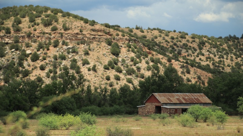
Doll Baby runs from the town of Payson to a trailhead serving the Arizona National Scenic Trail, a hiking trail that runs from the Mexican border to Utah. Along the way, the trail passes the historic Doll Baby Ranch. Once a working ranch, the land is now a nature conservancy protecting the riparian habitat along the East Verde River. When under private ownership, the scenic ranch was a haven for through-hikers on the Arizona Trail. The ranch owners were dedicated trial angels offering their bunk house, meals, and even a ride into Payson for resupply for any through-hiker.
While one of the more scenic drives in central Arizona, Doll Baby also connects to several superb area trails including Rye Cypress, FR 502, and Cedar Flat. Each of those trails offer dispersed camping, but the best camping is just before the trail's end on the cottonwood banks of the East Verde River.
Doll Baby begins on the outskirts of Payson where Country Club Road ends and the dirt begins. Doll Baby inexplicably reverts back to pavement for a section through a small tract of private property before returning to dirt for the remainder of the trail.
Updated: 09/25/2023
Rogers Trough
Superior, Arizona
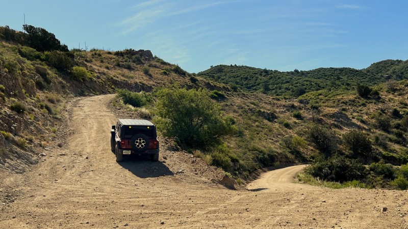
The vast 2.9 million acres of the Tonto National Forest provide many opportunities to experience everything from the desert floor to mountain peaks over 7,000 feet. Whether you want to run the full Montana Mountain Loop in your offroad vehicle or head to the Superstition Wilderness's vast network of hiking trails, Rogers Trough helps you fully experience all the Tonto offers.
Connecting Rogers Trough with Hewitt Canyon Trail and Happy Camp Road creates the Montana Mountain Loop OHV route. The loop has sandy washes, deep canyons, and a shelf road with vast views of the valley below. Wrapping around the 5,528-foot Montana Mountain on a narrow rocky trail leads to multiple dispersed camping opportunities before returning to the desert floor through an array of tight turning switchbacks.
For the hiking enthusiast, Rogers Trough Trailhead at the end of the trail provides access to the Arizona Trail, Grand Enchantment Trail, West Pinto Trail #212, and Reavis Ranch Trail #109. Hiking north from the trailhead takes you deep into the 160,000-acre Superstition Wilderness, where, if you're lucky, you may come across the famed Lost Dutchman Gold Mine.
Updated: 05/01/2026
Chloride Big Wash Road Loop
Grasshopper Junction, Arizona
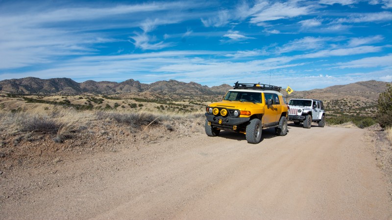
Chloride Big Wash Road Loop is a 22-mile grand tour through the rich mining area of the Cerbat Mountains near Chloride, Arizona. The GPX route starts at Grasshopper Junction, the intersection of US93 and County Highway 125, right by the big Chloride Sign. Driving on pavement for a few miles takes through the almost ghost town of Chloride and its old town charm. Make sure you stop and explore quaint Chloride before making your way up the trail. Continuing on Tennessee Road, you will cross a cattle guard, and your off-road journey begins.
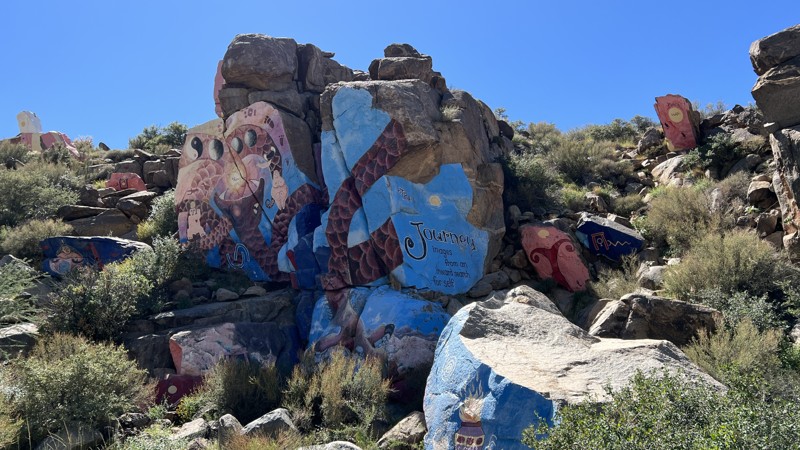
Following the GPX track takes you to the famous Chloride Murals. "The Journey" was painted by artist Roy Purcell in 1966 and covers 2,000 square feet of rock. Once you pass the Purcell Murals, the trail gets significantly rougher and heads up the mountainside through hill climbs, switchbacks, and rocky sections. Along the way, you will have terrific views of Chloride and the US 93 corridor to the west. There are remnants of mines and multiple areas to pull off and explore.
The section of trail between the town of Chloride and the Windy Point Campground is the most difficult section. Running the trail from US 93 on the north end to the Windy Point Campground is much easier.
This road travels primarily through the Bureau of Land Management Land (BLM) but has sections that cross State Trust Land and private property. It runs along the border of the Mt. Tipton Wilderness area on the far north side. Multiple other trails branch off the main route.
BLM operates two campgrounds at the top of the mountain, Windy Point and Packsaddle. As of September 2022, there is a fee to use Windy Point Campground but no fee to use Packsaddle. More details can be found on BLM.gov. These campgrounds are more easily reached from the north leg of Big Wash Road. There are also multiple dispersed campsites available along the road.
Updated: 02/19/2024
Rosemont Cutoff
Sonoita, Arizona
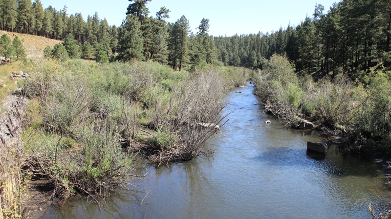
Established as a smelter town for the nearby Helvetia District copper mines, Rosemont Junction provides a beautiful afternoon of shady exploration through Arizona's hill country. This trail heads straight for the Santa Rita Mountains, then turns south to parallel it for several miles, providing stunning views of 'Old Baldy' and Gunsight Pass. The trail has impressive large tree riparian areas. Wildlife sightings are common in the canyons. You might get lucky and spook up a mule deer or a herd of coatimundi with their tails in the air.
Updated: 08/11/2025
Buffalo Crossing
Three Forks, Arizona
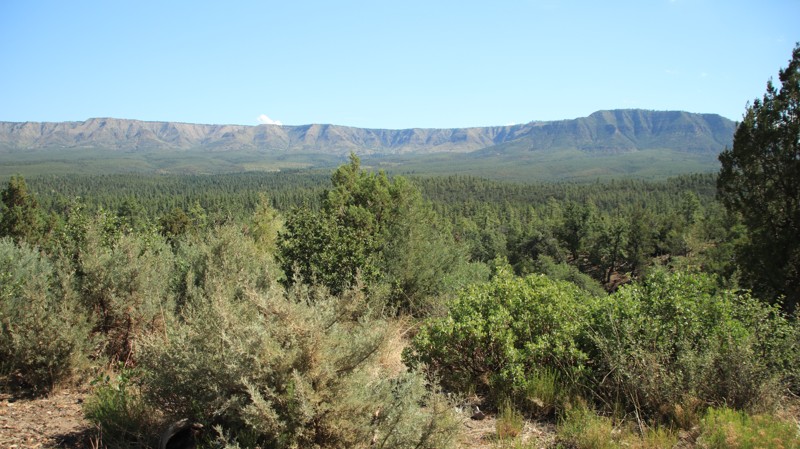
Buffalo Crossing is named for where the trail crosses the East Fork of the Black River. The northern section of the trail is well-graded and easy to drive as it passes through a mature pine forest and meadows interspersed with areas burned by the Wallow Fire of 2011. South of the intersection with Beaver Creek, FR 26, the trail reverts to a less maintained status with embedded rocks and steep, narrow shelf roads, earning this section a moderate rating. The trail's southern half passes through an area devastated by the Wallow Fire, Arizona's largest recorded wildfire. The fire has opened amazing views, however.
Several large dispersed campsites are on the northern end of the trail once outside the Big Lake Recreation Area. The Buffalo Crossing Campground has approximately a dozen campsites along the East Fork. The campground has picnic tables, fire pits, water, and a vault toilet. It is popular with fishermen. The Sprucedale Guest Ranch, located about halfway through the trail, offers the quintessential dude ranch experience with lodging and meals. Expect to see their horses grazing trailside.
Updated: 10/18/2024
Control Road
Pine, Arizona
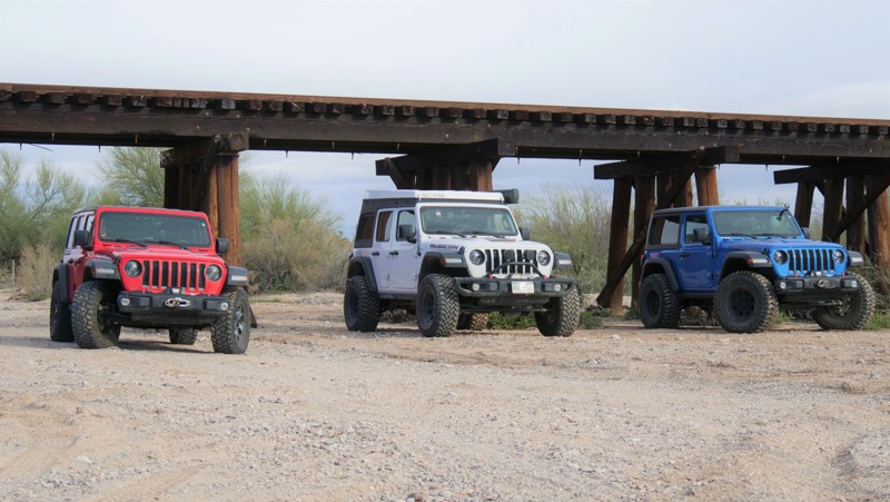
Located in the vast Tonto National Forest, Control Road runs under the massive geologic uplift known as the Mogollon Rim. The road traverses a pine and juniper forest. This area is the setting for many classic western tales by famed writer Zane Grey. Numerous dispersed campsites are scattered along this easy trail.
Updated: 01/05/2026
Price Road
Florence, Arizona
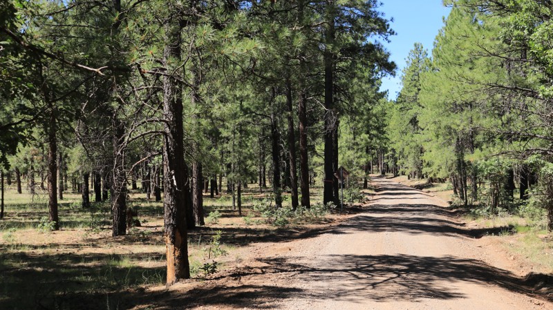
Price Road is the primary southern entry into the Florence OHV area. The road also serves the two small ranch communities and mining operations. The views of the Rincon Mountains on the eastern horizon loom higher as you travel the desert road. Nearby Box Canyon, Martinez Canyon, Old Silverbell Mine, and many other sites provide visitors with fantastic scenic views and opportunities to hike, explore, offroad, and enjoy the Sonoran Desert. Price Road is a gravel and semi-maintained dirt road that all vehicles can navigate. Durable off-road tires are highly recommended.
Dispersed campsites are located all along Price Road. Camping on Arizona State Trust Land requires a permit. State Trust Land is normally well marked, but a land use map is helpful. The area has abundant primitive campsites and multiple large staging areas. There are no services, facilities, or potable water in the area for campers.
Updated: 01/05/2024
Crimson Road
Flagstaff, Arizona
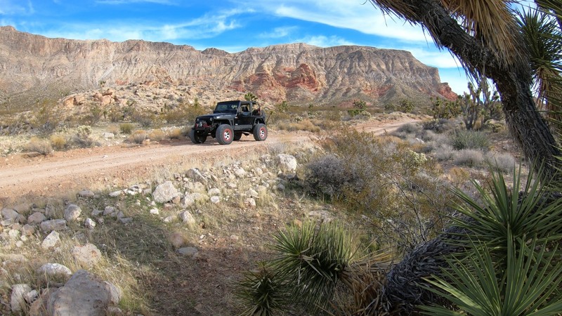
In its day, Crimson Road was the main thoroughfare between Flagstaff and the Mormon Lake area. Bypassed by the paved Lake Mary Road, today it simply transports you quickly into the magnificent ponderosa pine woodland that is the heart of the 1.8 million-acre Coconino National Forest. The well-maintained road meanders gently along the contours of an otherwise rugged landscape. After 11 miles, the forest gives way to Antelope Park, a large alpine meadow at an elevation of 7,000 feet. The meadow begs you to camp along its wooded edges to watch elk, deer, and pronghorn graze early and late in the lazy day. Crimson Road leaves the open meadow, plunging back into the forest and Newman Canyon. The road passes a picturesque old cattle corral, unused these days. Before you are ready, the road deposits you back onto the pavement.
Updated: 06/05/2022
Cedar Pocket
Littlefield, Arizona
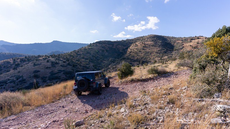
Cedar Pocket Road easily travels through a scenic desert landscape located within the Arizona Strip. The route has numerous opportunities for free primitive camping where you'll have spectacular views of the Beaver Dam Mountain Wilderness. You can choose to stop for a hike down into Cedar Pocket Wash but be sure to leave time to take a short side trail to visit the natural sinkhole at Waypoint 08. Once you travel over the pass, the highest point along the route, the panoramic views of the desert valley below are truly impressive. The route makes for an ideal start for an all-day journey to the Three Corners Memorial which marks the point where Arizona, Nevada and Utah state lines meet.
Updated: 03/09/2026
Woodchute Trail
Jerome, Arizona
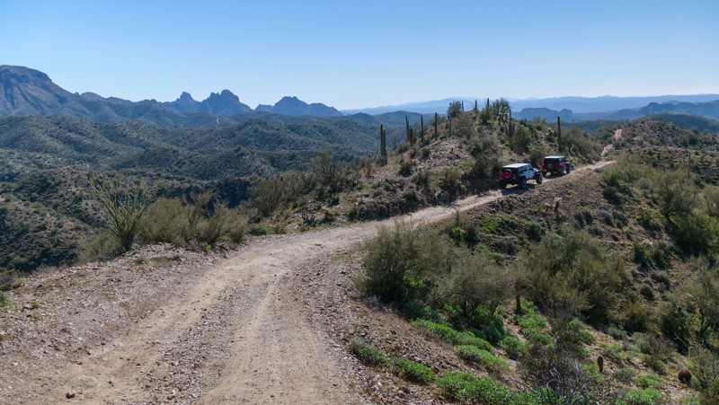
Beginning and ending on Highway 89A, Woodchute Trail is a narrow, steep, and rocky meander through the Prescott National Forest. Much of the trail is along narrow shelf roads. There's plenty of brush close to the trail, so expect new pinstriping. Snaking through the mountains, the trail opens up regularly to provide views of Verde Valley, Sedona, and 89A. Both entrances have a barbed wire gate that is always on the ground. Be careful not to drive over it. Woodchute Trail has several dispersed campsites.
Updated: 01/05/2026
North Box Canyon
Reymert, Arizona
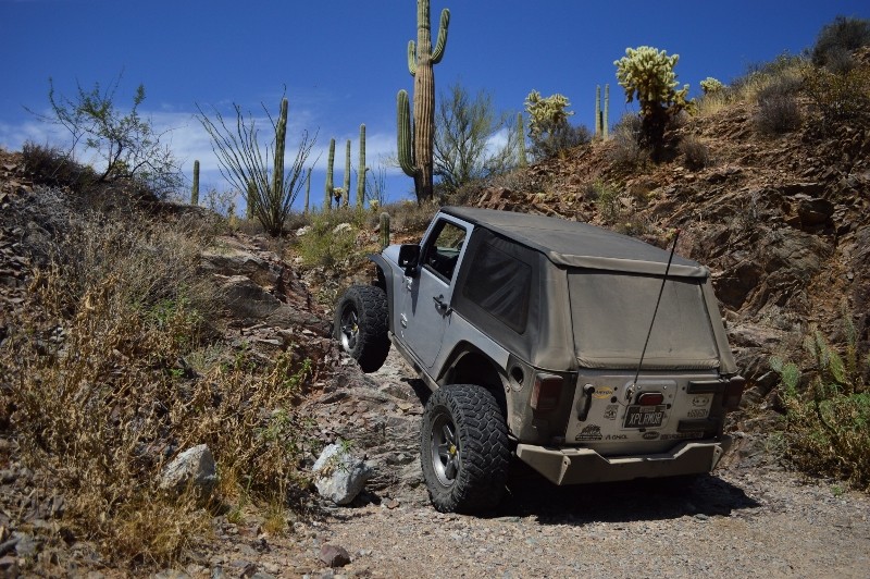
Also known as the Waterfall Bypass, this northern section of Box Canyon winds its way up narrow ledges and over the mountains for an alternative way around the waterfall obstacle on Mineral Mountain Road. The trail is ideal for stock-type 4x4 owners who want a mild challenge while exploring the Florence OHV area. The trail has narrow ledge switchbacks and steep rocky climbs requiring low range, high clearance, and durable offroad tires. The trail is excellent for beginners looking to cut their teeth on Arizona desert trails without difficult rock crawling. You'll climb high up into the mountains with immersive panoramas of the surrounding peaks before dropping into Box Canyon.
Camping is minimal. There are only a few old mine platforms where you could set up tents for the night.
Updated: 06/05/2022
Jack Handle
Florence, Arizona
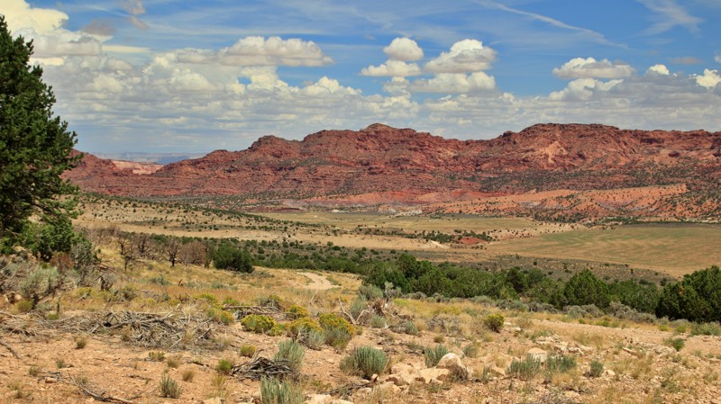
Jack Handle is one of those trails that's earned legendary status with local rock crawlers. The trail's name comes from the first difficult waterfall obstacle, Jack Handle. Back when the rock gap was thinner, if your hi-lift jack was on the passenger rear, it would get hung up on the rocks. Hence the name. The trail offers multiple optional rock crawling obstacles, including a difficult and super off-camber rock waterfall appropriately named Jackass.
For over a century, the surrounding mineral-rich area has been profitable for the region. There are many abandoned as well as active mines in the area. Along the route is a spectacular array of desert plant life, from massive saguaros to towering cottonwoods hidden deep in one of many secluded canyons that litter the region. The area is remote. The rocks are sharp. And everything here wants to poke or bite you. Be cautious. This is a desert, and it's not very forgiving, especially in the summer. But it does have an irresistible rugged charm.
Updated: 06/29/2026
Winter Road
Fredonia, Arizona
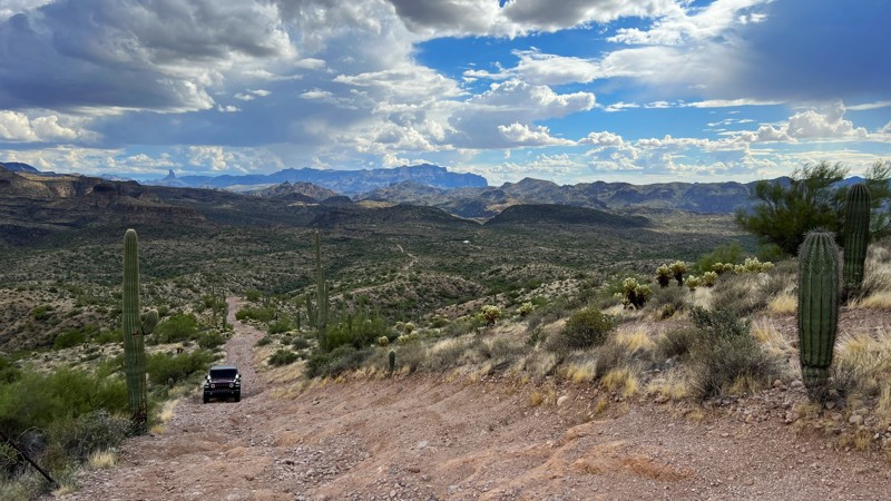
Winter Road runs from Highway 89A to House Rock Road. The relatively easy graded track crosses a broad flat plain with views of the Grand Staircase Escalante before steeply climbing onto the Kaibab Plateau. The most dramatic part of the trail is the descent along the gently sloping yellow gray East Kaibab Monocline to House Rock Road with the jagged red, umber, and buff sandstones of the Vermillion Cliffs straight ahead. There are a few campsites along the trail. The most dramatic are near the climb up and the descent off of the Kaibab Plateau.
Updated: 05/02/2025
Rolls 1829
Tortilla Flat, Arizona
Trail 1829 can be run as an out-and-back or as a loop when connected with trail 1345. This trail is rocky and has aggressive hills, narrow sections between trees and cacti, and a fence line. The 360-degree scenic views from the top of the ridgeline are amazing. There are several steep rocky hills to contend with on this trail. One of which has crater-sized holes that can lead to body and bumper damage if not maneuvered correctly. High clearance and 4Low are required on Crater Hill. Lockers are recommended, and a spotter would be helpful. The top of Crater Hill is located at coordinates 33.60405, -111.46011. Running as an out-and-back will have you going downhill first and then uphill on your return. Take connecting trail 1345 on the right after 1.3 miles to run the hills only upwards. This will reconnect with 1829 at the bottom of the hills. Rated difficult due to "Crater Hill." The rest of the trail is moderate. There is a large camping area at the lower junction of trail 1829 and 1345. This area can accommodate many vehicles and has a large rock fire ring.
Please note that an OHV permit is now required on this trail.
Updated: 08/19/2025
Little Black Mountain
Saint George, Arizona
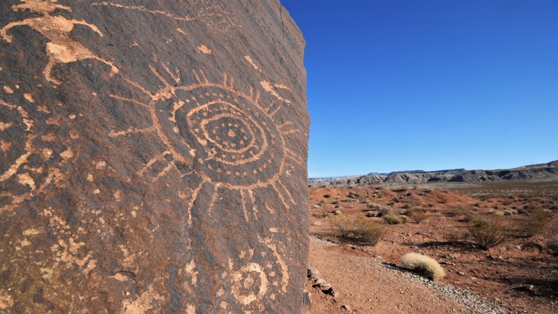
Take a trip along an easy desert trail to one of the best petroglyph sites in the Arizona Strip region. The Little Black Mountain Petroglyph site contains some outstanding rock art from 6,000 years of human habitation. The site has over 500 different rock art examples on the boulders surrounding the base of a 500-foot mesa. The designs were etched by Native Americans from the Great Basin, Western Anasazi, and Lower Colorado River cultures that once passed this way. Some of the art pieces are of turtles, deer, lizards, bear paws, and many symbols that are unknown to historians. Both the driving and the hiking trail to the petroglyphs area easy enough for everyone of all ages. Bring the whole family for a wonderful walk around massive stones with ancient artwork chiseled into them.
Updated: 01/08/2024
Beaver Creek
Camp Verde, Arizona
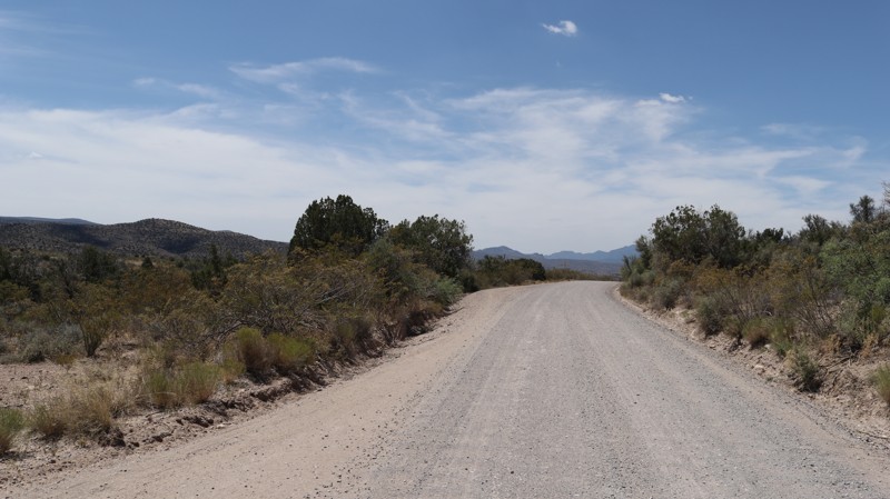
Beaver Creek's slow curves and sweeping vistas leisurely take you back to an older Arizona, a land with an ancient history and rugged pioneer ranchers. Beginning in the fertile Verde River Valley, the trail winds upward through fields of prickly pear cacti and dry grasses waving in the breeze to junipers and pinion pines. Walker Creek's towering cottonwoods shimmer in the sun. Campsites tempt you to stop and stay awhile. Cattle guards rattle under your wheels, often reminding you this was, and remains, ranching country. Signs on side roads bear the brands of the V Bar V and M Diamond. You occasionally glimpse horses in a green pasture or cattle grazing among the junipers. Ahead, the buff-colored fortress buttes front the red rock cliffs of the Mogollon Rim, the geologic boundary between the Sonoran Desert and the uplift known as the Colorado Plateau.
Updated: 07/07/2025
Copper Chief
Cottonwood, Arizona
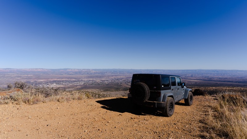
Copper Chief, FR 493, is a scenic drive up Mingus Mountain. The trail passes remnants of the historic Copper Chief Mine. Thus its name. Most stock SUVs should have no problem, but some sections require care. The trail has taller rocks that most stock rigs can't avoid and will need to be traversed. Allow around 1 to 1.5 hours to complete FR 493. There are several spots for incredible views. Snow or rain could make this much harder.
The signage at the east end says no camping along FR 493.
Updated: 08/10/2023
Bill Williams Fire Lookout
Williams, Arizona
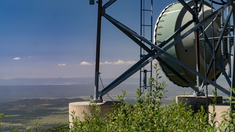
Bill Williams Mountain marks the traditional boundary of the lands once inhabited by the early ancestors of the Hopi people. The mountain is currently home to several radio towers but offers several scenic vantage points along the route to the summit. The trail begins in lush ponderosa pine and oak thickets, offering numerous points to stop in the shade to enjoy the scenery.

Upgrade your Membership
Unlock all of the details on every Trail Guide and Scout Route.
Start a 7-day Free TrialCommunity
Partners

