






By clicking "ACCEPT", you agree to be the terms and conditions of each policy linked to above. You also agree to the storing of cookies on your device to facilitate the operation and functionality of our site, enhance and customize your user experience, and to analyze how our site is used.
Arizona Off-Road Trails
373
Total Trail Guides 359

4679
Detailed Waypoints 676
Try a Free 7-Day Trial and unlock it all
Start a Free Trial Most Recent Trail Reviews
Rated 4/5
Open
Visited: 09/22/2026
Hard pack, easy forest service road that is a great back way to the North Rim of the Grand Canyon.


Tyler D’Hulst
Rated 4/5
Open
Visited: 09/22/2026
Spring Canyon is a beautiful drive. We didn’t go out to the cabin but used this western section of road coming back from Crazy Jug

Tyler D’Hulst
Rated 4/5
Open
Visited: 09/22/2026
We took this out to Crazy Jug. The northern section is hard packed forest service road. Not difficult. Very scenic drive through the ponderosas.

Tyler D’Hulst
Rated 5/5
Open
Visited: 09/22/2026
View point is spectacular! Trail was easy going out, no obstacles at all. Saw a Toyota Camery at the viewpoint.


Tyler D’Hulst
Rated 3/5
Open
Visited: 09/22/2026
An alternative route out to Crazy Jug Point. It’s easy and can be scenic in areas. I’d recommend West Ryan out to Crazy Jug though.
Tyler D’Hulst
Rated 3/5
Open
Visited: 09/22/2026
A quick connector trail through the burn patch.
Tyler D’Hulst
Rated 5/5
Open
Visited: 09/20/2026
Leviathan Mine trail is a full day trip. Though it is only 20 miles in length the travel is slow and rough. Majority of the trail you will be going between 5-10 MPH. Then once at the end it connects w...



Eric Gartin
Official Crew
Rated 4/5
Open
Visited: 09/19/2026
Simple road, well graded today. Many mountain bikers coming down from the West out of Breezy Pines. Not too many people out until approaching Senator Hiway. We went East to West as I think thats a bet...



Jeff Burnett
Rated 3/5
Open
Visited: 09/19/2026
The trail itself is not spectacular, it's pretty flat across the plains. However, driving up to the overlook and seeing a huge gaping hole in the ground is a great juxtaposition to the flat trail. The...
Tyler D’Hulst
Rated 3/5
Open
Visited: 09/19/2026
A nice trail ride from the main road down off the plateau. It's graded forest service road until the switchbacks. The switchbacks themselves are not difficult, road is not graded. This section has bee...
Tyler D’Hulst
Rated 3/5
Open
Visited: 09/18/2026
The end of the trail is not well marked, and can cause confusion. Also, vehicle passes are required for all backcountry routes within the Lake Mead National Recreation Area.
Eric Gartin
Official Crew

Ted Whisler
No Rating
Open
Visited: 09/17/2026
Nice ride west side a little rocky but rating is true to #2


Ted Whisler
Rated 3/5
Open
Visited: 09/15/2026
A nice drop off the plateau heading towards Marble Canyon. Not a difficult road. Road is weathered but not challenging.
Tyler D’Hulst
No Rating
Temporary Closure
Visited: 09/15/2026
Road closed due to multiple washed out wash crossings after the turn off to go up the mountain. "Road Closed" sign put out by BLM on trail.
Tyler D’Hulst
No Rating
Temporary Closure
Visited: 09/15/2026
After the turn off to head up the mountain there are multiple washed out wash crossings. A "Road Closed" sign has been put out by the BLM.
Tyler D’Hulst

Ben Ruddell
Official Crew
Rated 4/5
Open
Visited: 09/14/2026
Bogles Ranch Road is a great Sunday afternoon drive type of dirt road that climbs up in elevation and gives some spectacular views of the surrounding area. The first half passes through State and Priv...


Eric Gartin
Official Crew
Ben Ruddell
Official Crew
Rated 3/5
Open
Visited: 09/14/2026
Antares Road is an excellent way to travel from Route 66 to the eastern portion of the Lake Mead National Recreation Area. This wide county road is well maintained with minor washboarding, most of whi...


Eric Gartin
Official Crew
Rated 3/5
Open
Visited: 09/14/2026
Hackberry road is a wide dirt road with minimal erosion damage and washboarding. There are a couple of larger washes that cross Hackberry road creating wide stretches of loose sand which can cause iss...


Eric Gartin
Official Crew
Rated 3/5
Open
Visited: 09/13/2026
This is a very rough, rocky, & slow going trail. Expect around 4+ hours for the trail & another hour to get the highway. One of those trails I'm happy I did but I wont be back personally. High clearan...

Brandon W
No Rating
Open
Visited: 09/12/2026
I think the rating is spot on. The ruts and washouts at the beginning are not as bad and if you hug the inside of the shelf road they can be avoided. The middle part is same general sandy wash with ov...



Greg Page
Rated 4/5
Open
Visited: 09/11/2026
Ran this trail as part of a larger loop. Trail is in great shape. Easy for standard 4x4 with no lift. Passengers can do it until maybe the very end by the lake where the road gets rocky and washed out...


Jeff Burnett
Rated 5/5
Open
Visited: 09/10/2026
This is one of my favorite scenic trails in the area. The trail is easy to travel, but does have some optional short trails that will test your vehicle. The views from the Grand Wash Cliffs of the Hua...


Eric Gartin
Official Crew
Rated 3/5
Open
Visited: 09/07/2026
This trail by itself is nothing special. It is mostly used as an access road to get to the more technical trail such as Homecourt, Twister, and Waynes World. This is a great trail for the beginner to ...


Eric Gartin
Official Crew
Rated 3/5
Open
Visited: 09/07/2026
This trail is an enjoyable alternate route when traveling on Blake Ranch Road (7163). The trail is easy with only a handful of spots with erosion damage. The few established camping sites appear to n...


Eric Gartin
Official Crew
Rated 5/5
Open
Visited: 09/07/2026
Ran this trail from Boynton Pass Road to Loy Butte Road (opposite direction from what is listed). Ran into a few rental ATVs and a couple of Jeeps heading the opposite way. This was a fun trail wit...



Daniel Macioce
Rated 5/5
Open
Visited: 09/07/2026
This trail was a lot of fun, plus the views were amazing. I ran the trail in the order posted, starting at the south trailhead and finishing at the heritage site. Past a motorcycle, a few jeeps and a...


Daniel Macioce
Rated 4/5
Open
Visited: 09/07/2026
Nice trail, ran West to East. For some reason the map shows this a a one-way trial, East to West. That is not the case, it is a two way trail. Was pretty washed out starting around mile 12. Plenty roc...


Jeff Burnett
No Rating
Open
Visited: 09/06/2026
New trail for me. You didn’t know what it would throw at you around every corner which is why you try to find new trails or old forgotten ones
KB
Kory Burden
Rated 5/5
Open
Visited: 09/06/2026
The trail is no joke—steep, narrow, and technical enough that you’ll want to be comfortable with off-camber shelf roads, rocky terrain, and washouts that will test your vehicles articulation. The rew...



Bobby Rumbaugh
Official Crew
Rated 5/5
Open
Visited: 09/06/2026
Fun trail if you don't want to do pyeatt draw itself. Ran this trail 3yrs ago and definitely a little more erosion but, still any truck or suv with good factory ground clearance can do it. From previo...
JM
James m
Rated 4/5
Open
Visited: 09/06/2026
Ran this trail from I-17 to Sedona. Extraordinary views descending into Sedona. As others have noted, there are lots of rock on the trail, making it slow going. Passed a large number of Pink Jeeps ...


Daniel Macioce
Rated 4/5
Open
Visited: 09/05/2026
This one definitely changed over the last few years. The southern section has some legit, steep, off-camber sections. YOU NEED experience, backup, and a capable vehicle on this one now. It's not supe...


.jpg)
Bobby Nelson
Official Crew
Rated 4/5
Open
Visited: 09/05/2026
Another amazing time on this scenic crossover. We came in from Walnut Canyon and finished out on Price Road after about 6 hours. A challenging and hot day for the old TJ. Rincon Road has evolved into ...


Bobby Nelson
Official Crew
Rated 4/5
Open
Visited: 09/05/2026
We started exactly at sunrise to try and beat the heat. We planned to crossover to Box Canyon and out on Price Road. It ended up taking us 6 hours, even with all the photos and filming we did. A chall...


Bobby Nelson
Official Crew
Rated 5/5
Open
Visited: 09/04/2026
We recently ran Four Peaks after the monsoon rains. Here’s what we found and what to expect if you’re planning to run it. Have a GR8 day!

Jeep 4 Dirt
Rated 5/5
Open
Visited: 09/04/2026
Breathtaking views. Definitely don't rush through the trail. Devil's staircase was a bit slippery but awesome. A few tight stops here and there, but a trail that's a must on anyone's to do list.



Christopher Bradley
Rated 4/5
Open
Visited: 08/30/2026
Id say this is a 3.5 to 4 trail. There are some obstacles, but nothing you really need to think hard about how to approach. If you send your vehicle at it in 4 low you'll get through everything.



Justin Holsinger
Rated 4/5
Open
Visited: 08/28/2026
Rim Road (FS300) West to East. Very well groomed gravel forest road. Accessible by just about any vehicle thats not been lowered. Who does that anyway? Scenic views the whole route. Hard to believe on...


Jeff Burnett
Rated 4/5
Open
Visited: 08/28/2026
Not a bad road but it was crowded with sxs and vehicles towing campers. Hard to rate 5 stars for a busy road. Super easy any vehicle can do this. Part is paved near the freeway but the rest is gravel.

Tony Rockwell
Rated 4/5
Open
Visited: 08/28/2026
I rated 4 stars just due to the volume of sxs & camper trailers on the road.
Easy drive, any car can do this.
Ran from sheep springs to munds park, see other reviews for full route.

Tony Rockwell
Rated 4/5
Open
Visited: 08/28/2026
I ran Bar M in reverse to get to this trail. Then headed toward Casner Park Road. (See reviews I did on each of those)
Nice easy trail that is less rough than Bar M.
Nice drive through trees.


Tony Rockwell
Rated 5/5
Open
Visited: 08/28/2026
Very bumpy due to rock infused trail. A few larger rocks, 8-12” tall in places but most stock 4x4’s should be able to navigate around or over them. I would say any 4x4 with all terrain tires could nav...


Tony Rockwell
Rated 3/5
Open
Visited: 08/27/2026
Overall decent little trail; camped out near Committee Tank (not suitable for tent camping - too rocky). Nothing too technical but enough to keep things interesting. High clearance and good line choi...


Bill Ferguson
Rated 3/5
Open
Visited: 08/27/2026
Connector from FS801 (Rock Garden Loop) to FS09494F (Committee Tank Trail); yeah, it lives up to its namesake. Very rocky. High clearance and picking good lines are an absolute must. Car camped at...

Bill Ferguson
Rated 5/5
Open
Visited: 08/27/2026
Nice trail saw some deer it’s a little rough but overall was easy


M
Maddox
Rated 5/5
Open
Visited: 08/23/2026
Great little adventure for the day. Dirt road is pretty rutted up due to monsoons, but easily drivable. Lake itself is extremely low.
LL
Larry Lapp
Rated 4/5
Open
Visited: 08/22/2026
A fun side trip that has a steep hill climb. Due to recent rains, the wildflowers were blooming.


Bobby Rumbaugh
Official Crew
Most Popular
Updated: 07/04/2023
Supai Village Old 328 Road
Williams, Arizona
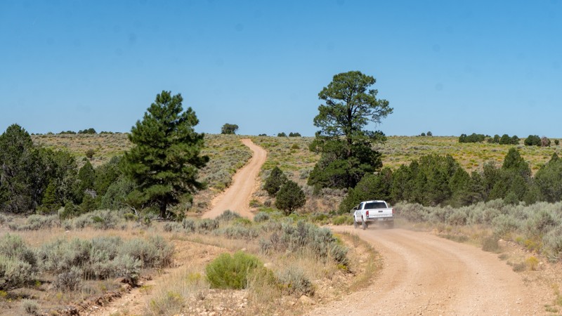
When the campgrounds are full, or you are looking for a little more solitude when visiting the South Rim of the Grand Canyon, this is the road for you that resides inside the Kaibab National Forest. The forest boasts over 1.6 million acres and borders both rims of the Grand Canyon. This particular road is not within the tall pines as much of the Kaibab National Forest is known for; it lays mostly within the juniper, and it's inside the patches of juniper you are sure to find a spot to camp.
Updated: 08/19/2025
Elephant Arch
Saint George, Arizona
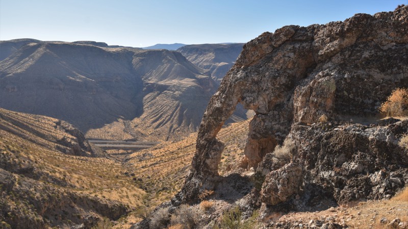
Within the Arizona Strip, high above the Virgin River Gorge and I-15, there is a very scenic 4x4 trail leading to a naturally formed Elephant Arch. The trail offers mild challenges for stock 4x4 vehicles while providing breathtaking vistas of the surrounding Virgin and Beaver Dam Mountains. The Virgin River has created several impressive Southwestern landscapes, beginning within the great white cliffs and canyons of Utah's Zion National Park, before ending at Lake Mead, where it eventually meets the Colorado River. Deep within the Virgin River Gorge, the river flows across the northwestern tip of Arizona for 30 miles, creating Grand Canyon-like scenery of eroded cliffs and terraces of metamorphosed sandstone. This easy 4x4 trail travels high above the gorge, along the edge of the rim leading to various scenic points where you can see for miles through the gorge.
Updated: 05/20/2023
Woodpecker Trail
Florence, Arizona
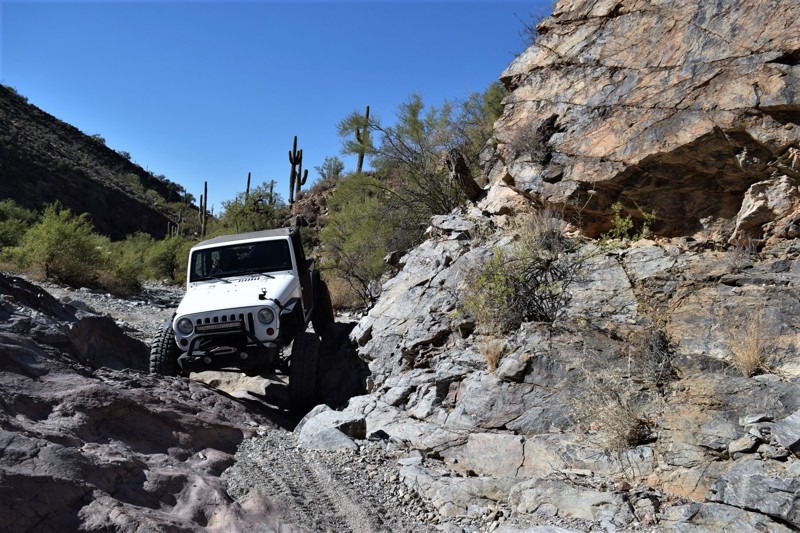
Woodpecker Mine Trail outside of Phoenix Arizona is well known for being a challenging and fun rock crawling opportunity for mildly modified vehicles. The trail has numerous optional rock obstacles that will push the limits of both driver and vehicle. The trail has a couple obstacles that have reputations for causing damage to even the best built rigs. The entrance will immediately let you know what you're in for. If you're not careful, the optional left line is quite challenging and can result in body damage or a broken window. The trail has many hazards along the way, including the typical desert predators so please be cautious when outside the vehicle. The area is also known for having numerous petroglyphs that are in remarkable condition. Keep your eye out while crawling through the wash for the black faced rocks with the ancient markings carved into them.
The Woodpecker Mine was originally opened in 1937 and closed in 1952. It's main ore production was from silver and lead. It's now managed by a large mining corporation but the trail is ours to enjoy. Please be aware there are many active mining claims in the area that are considered out of bounds and should not be entered. The entire region is also home to many herds of cattle that can often pop up around a blind corner, so please be cautious around blind corners.
Updated: 05/12/2024
Kingman Wash
Boulder City, Arizona
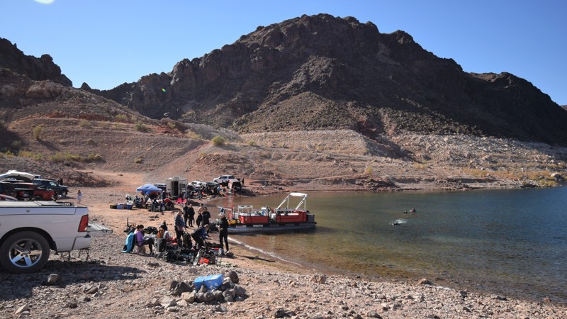
When you are in Las Vegas or traveling through the area, maybe it's time to decompress, hit the trail and camp on a beach. Kingman Wash is a short & easy drive from the strip, right off the interstate, leading to a wonderful cove with plenty of room for camping with friends. The colorful rock cliffs that surround the cove descend to over 100 feet below the waterline, making this spot popular with scuba divers. The lake is renowned for its clear waters and ideal year-round water temperatures. If fishing or kayaking is your thing, then this area is a great spot for free camping and small boat launching.
Updated: 06/15/2024
Asbestos Mine
Globe, Arizona
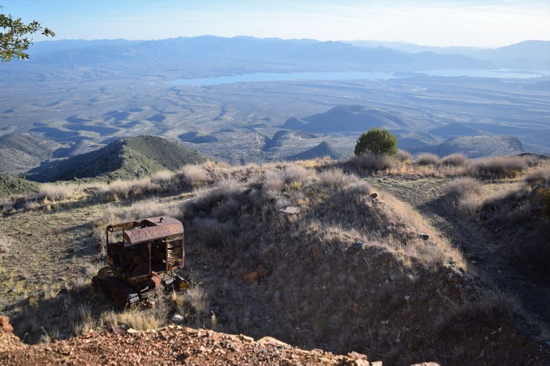
This iconic 4x4 trail to Asbestos Mine, on the southern edge of the Sierra Anche Mountains, climbs a difficult trail along Pocket Creek. Those who are familiar with the region will recognize Asbestos Point by its white mine tailings. They look like giant white angel wings from Highway 288. The mine began operating in 1915 but is now abandoned. While you're exploring the large site, there are spectacular views of the Tonto Basin thousands of feet below. You can hike out the shelf road right on top of the white mine tailings and take pictures of the really old excavator. There are a couple of nice campsites with fire pits to enjoy incredible star gazing.
Asbestos Mine is quite a challenge for slightly modified vehicles, but the views when you finally reach the top almost take your breath away.
Updated: 03/17/2024
Hovatter Road
Quartzsite, Arizona
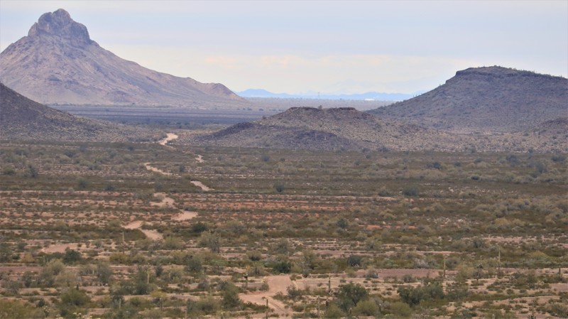
Ray Hovatter patented mining claims in the Little Horn Mountains around 1950. Ray and his workers built a coarse road connecting the Hovatter homestead to the Harquahala mining district. Ray, his wife Barbara, and three daughters lived at their remote homestead from 1951 to 1974, managing and working the mines that produced mostly manganese. Barbara kept a glass jar of captured scorpions on the kitchen table and planted extensive cactus gardens at the homestead. A propane tank explosion killed the eldest daughter in 1968. Ray died on the property in 1974. Both a buried on the ridge just south of the homestead. Barbara's ashes were scattered over the graves in the 1990s. The site was reclaimed by the KOFA National Wildlife Refuge, and all the buildings were removed. The cactus gardens and a unique saguaro-lined driveway remain. Today the Hovatter road is a path to beauty. Rugged enough to keep the faint of heart at bay, a trip along the Hovatter rewards the intrepid with solitude and adventure. The trail begins as a smooth but very sandy road aimed southwest and straight at the prominent Coyote Peak. To the south, across a broad plain of saguaro cactus and creosote bush, the jagged multihued outline of the rugged Little Horn Mountain range hints at the adventure ahead. A slight left turn at Coyote Peak points you straight at the heart of the Little Horns, and soon the road obligingly begins a gentle climb. That gentleness is fully wrung out of the trail after you cross the first of the mountain passes. The Hovatter twist climbs, descends, and crosses rocky washes while providing geologic eye candy as it traverses the Little Horns. Keep an eye to the right for Conflagration Arch, a twisted testament to the powerful forces that raised these mineral-rich mountains. Massive saguaros find precarious perches on the edges of steep cliffs. A keen eye may spot desert bighorn sheep clattering up steep grades. The remnants of old mines dot the wild landscape. A small kiosk and old signage signal you are leaving BLM land and entering the KOFA National Wildlife Refuge, set aside by Presidential decree in 1939 and expanded over the years with the mission of providing habitat for those bighorn sheep you may or may not have seen. From the kiosk, it is just a short way to the Hovatter homestead and its saguaro-lined driveway. The homesite is a fantastic place to camp. If you do, walk up the hill and pay your respects to Ray and the family. Then kick back and imagine living out here in this remote, rugged, and beautiful part of Arizona.
Updated: 01/17/2024
Blue Bell Mine
Mayer, Arizona
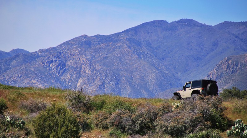
Three pieces of Central Arizona history collide with fantastic views of the Bradshaw Mountains along a fun little trail in the Prescott National Forest. Leaving the small hamlet of Mayer, the trail works slightly upward across the rolling desert chaparral to the Blue Bell Mine. In the 1870s, prospectors discovered an outcropping of schist-bearing gold, silver, and copper. The Blue Bell was a successful mine and operated intermittently until recently. Following the trail a mile more to the south brings the traveler to the second bit of Arizona history, the railbed of the Bradshaw Mountain Railroad, often called Murphy's Impossible Railroad. Mr. Murphy engineered the seemingly impossible by connecting Prescott with Crown King through the rugged and inhospitable Bradshaw Mountains. Supplies went up the mountain, and ore came down. The Blue Bell was connected to the railroad by a mile-long aerial tramway to dump the ore carts into the railroad cars. The railroad operated for a decade before the mines in Crown King became unprofitable. Following the obvious railbed downward, the trail ends at the ghost town of Cleator, the final portion of the historic trifecta. The small town was established in 1864 to support the mines and prospects of the Turkey Creek Mining District and was a stop on the Bradshaw Mountain Railroad. James P. Cleator bought the town in 1925, renamed it for himself, and established a post office, appointing himself postmaster. The post office closed in 1954. Today, Cleator remains a stop for thirsty travelers. While appreciating the history, don't forget to admire the seemingly endless views of the southeastern slopes of the Bradshaws. Stop to enjoy the abundant trailside wildflowers in late spring. But keep your eyes on the trail along the shelf roads. Saying things collide on the Blue Bell was meant to be metaphorical, not literal.

Updated: 06/20/2024
Hart Prairie
Flagstaff, Arizona
Forming the west leg of the “Around the Peaks” loop, Hart Prairie Road is an Arizona gem. The eponymous Hart Prairie sits east of Fern Mountain at the midpoint of this drive and offers superb views and the finest ecological beauty in the Flagstaff area. Aspen groves, alpine meadows, springs, diverse terrain, and varied ecosystems flank the trail. Fern Mountain offers a short and beautiful hike with sweeping views of the San Francisco Peaks. The road is also part of the “Hart Prairie Loop” mountain biking trail. Quite a few lucky private property owners, including a youth camp and The Nature Conservancy, enjoy the west slope of the Peaks via this road.
Updated: 08/19/2025
1069 Rock Crossing
Saint George, Arizona
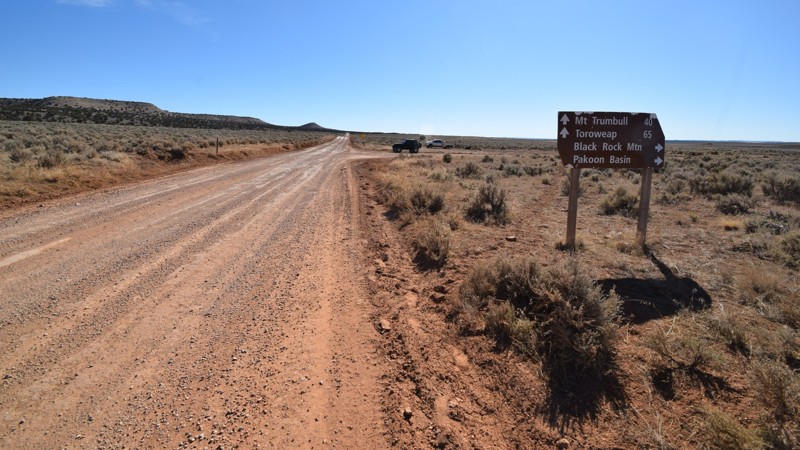
Your gateway to adventure within the Grand Canyon - Parashant region begins on this scenic access road. The trail is the most direct and easiest way to access some of the most remote backcountry trails in the United States. The region has numerous side trails leading to petroglyphs, slot canyon hiking and excellent primitive camping. From this trail, you'll have access to the multiple trails leading to very popular destinations like Pakoon Basin, Mt. Trumbull and the north rim of the Grand Canyon. While climbing up to the plateau, you'll have sweeping panoramas of the red rocks and mountains that surround the St. George region. Be sure to go prepared for a truly remote off-road experience.
Updated: 04/20/2024
Silver Creek
Black Canyon City, Arizona
Silver Creek follows the main north-south route that early pioneers traveled and is now part of the 4,455-mile national corridor named the Great Western Trail. It is also a potential link in a much more local Phoenix to Flagstaff overland route. Typically dotted with juniper with an open sky to the blazing sun, Silver Creek offers a few reprieves with nice areas of shade and packs in plenty of views through the entire drive. It is sandwiched between the Agua Fria National Monument to the west and Pine Mountain Wildnerness Area to the east; the road offers a diverse drive through grassy flats, windswept mesas, gulches, canyons, and tree-lined creeks. One can understand why it is part of the Great Western Trail because this road opens up a myriad of overlanding opportunities north of Phoenix.

Updated: 06/09/2026
Crapshoot
New River, Arizona
Table Mesa 9952 connects Table Mesa Road to 9954 and forms the first half of a route locally referred to as Crapshoot. It would be an easy trail but for two obstacles that merit a difficult rating.
Running the trail north to south, the first obstacle is a steep, uneven loose dirt climb. The second obstacle is a steep, loose rock descent with a potentially belly-dragging drop-off in the middle part of the hill. Between the two, steady throttle and steady braking are highly useful.
While anytime is a good time for photography along this route, springtime can be an especially great opportunity to capture iconic Arizona desert photography with the post-monsoon season flower bloom.
Updated: 06/10/2026
Rolls 1813
Tortilla Flat, Arizona
Rolls 1813 will provide you with breathtaking views of Saguaro Lake, the ridgelines and valleys of the Rolls OHV area, and Four Peaks. There is a long, steep descent when driving the trail from north to south. This is one of the longest climbs or descents on any Rolls trails. 1813 was once the gateway trail to the Butcher Jones beach area. However, this access gate on the south end is now permanently locked. Near the southern end of the trail is a large sandy camping area suitable for many vehicles to gather. There is also a large area at the high point of the trail where several vehicles could also stop and use for camping. This spot would provide incredible views of the entire area. The trail is mostly made of loose rock. The summer monsoon rain of 2022 has eroded the big hill significantly enough to make the rating difficult for the newer offroad driver.
Please note that an OHV permit is now required on this trail.
Updated: 09/15/2026
Middlemarch Pass
Tombstone, Arizona
Middlemarch Pass winds through the Dragoon Mountains and provides access between Tombstone and Pearce. The US Army cut this pass to facilitate rapid movement between Fort Bowie and the San Pedro Valley in an effort to quell the Chiricahua Apache in the late 19th century.
Today the Pass is known for its breathtaking views, hiking, and dispersed camping locations. The Pass starts at North Middlemarch Road, located just outside the infamous town of Tombstone. North Middlemarch Road is generally well graded, and it is easy to travel at moderate speeds until the entrance to the Coronado National Forest.
Trail conditions begin to deteriorate in the Pass but can still be overcome by most vehicles. The summer monsoon season regularly wreaks havoc on the Pass, and it is common to find tree limbs and other debris scattered along the route. The only major obstacle throughout the drive is a washed-out portion of the pass located approximately halfway through the trail. High clearance and 4x4 are required to continue past this wash.
The Pass returns to relatively tame conditions after passing the obstacle. Those that continue along the Pass are rewarded with spectacular views overlooking the Sulphur Springs Valley.
Dispersed camping is not common through the Middlemarch Pass, but several dispersed sites can still be found along the route. Those wishing to camp will find many sites on the west end of the Dragoon Mountains.
Updated: 04/05/2024
Ajax Mine Trail
Florence, Arizona
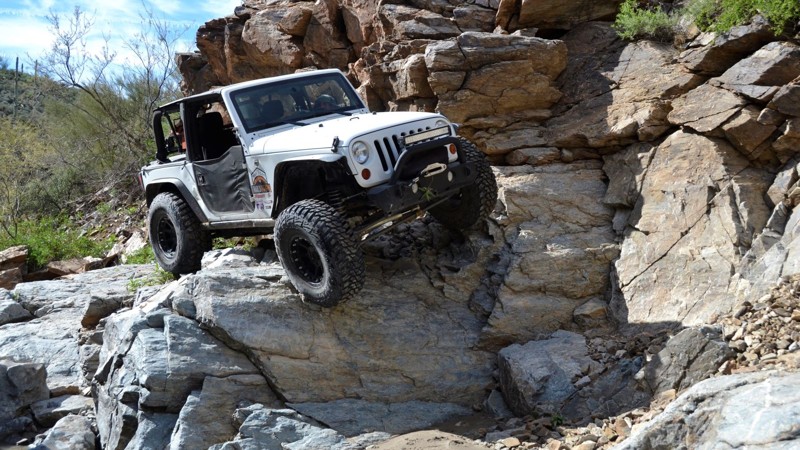
Ajax Mine Trail is a 2.7 mile-long rock crawling trail or can be run as a shelf road to view the mine ruins. It's mainly a boulder-strewn wash from the beginning and circles back to the start via the mining road above the entire route. There are numerous difficult rock waterfall obstacles without bypasses along the route. The trail is ideal for experienced wheelers with modified vehicles wishing to test and advance their skills. An Arizona State Trust Permit is required if you plan to enter the area. There are numerous routes to get to the area where the actual trail entrance is located. Unfortunately, there is very little trail signage around because the trails are not numbered by BLM.
Updated: 06/24/2023
1004 Black Rock Mountain
Saint George, Arizona
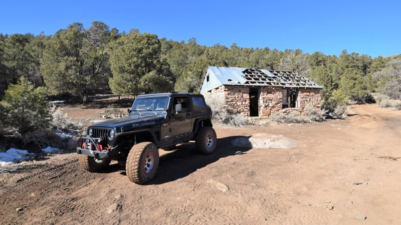
There aren't many trails in the United States that offer the variety of landscapes that Black Rock Mountain does. This unique trail travels from the flat high desert, up to towering pine trees and then drops down into the harsh desert of Grand Canyon-Parashant National Monument. It's remote and the views along the way are absolutely spectacular. You could be lucky and have the entire route to yourself, allowing you to pick from a plethora of exceptional remote campsites that line the route. You start off on a relatively easy gravel road, crossing the wide-open plains, before climbing up the side of Black Rock Mountain. You will then drop down the backside through the Paiute Wilderness Area where the views go on for miles in all directions. Be sure to go prepared for a truly remote adventure, there's nothing out there but you and the wide-open wilderness.
Updated: 09/22/2023
Buck Springs Ridge
Pine, Arizona
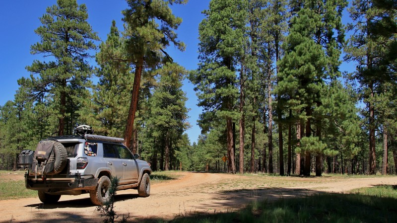
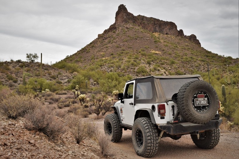
Buck Spring Ridge begins at the scenic Mogollon Rim and the iconic Rim Road, one of Arizona's best trails. Running through the eastern portion of the vast Coconino National Forest, the trail first traverses an alpine woodland of spruce, fir, and Ponderosa pines. As the trail descends northward, the spruce and fir fall away, and the pines become smaller because of the rain shadow caused by the Mogollon Rim's massive uplift. Take the time to visit the historic Buck Springs Cabin via the spur trails at Waypoints 5 and 6. These remote cabins, first used by ranchers almost 100 years ago, were summer quarters for fireguards who battled wildfires in this massive forest. The cabins sit on a picturesque mountain meadow that hosts the springs that give this area its name. Deer and elk often graze nearby in the mornings and later afternoons. Descending northward, the trail gets a bit rougher and enters an area burned in the 2018 Tinder Fire. The forest is slowly recovering from the fire, but the new openness allows quick views down into the deep East Clear Creek gorge giving explores a real feel for the true scope and ruggedness of this diverse landscape.
Updated: 04/30/2025
FR 71 Tonto National Forest
Tonto Basin, Arizona
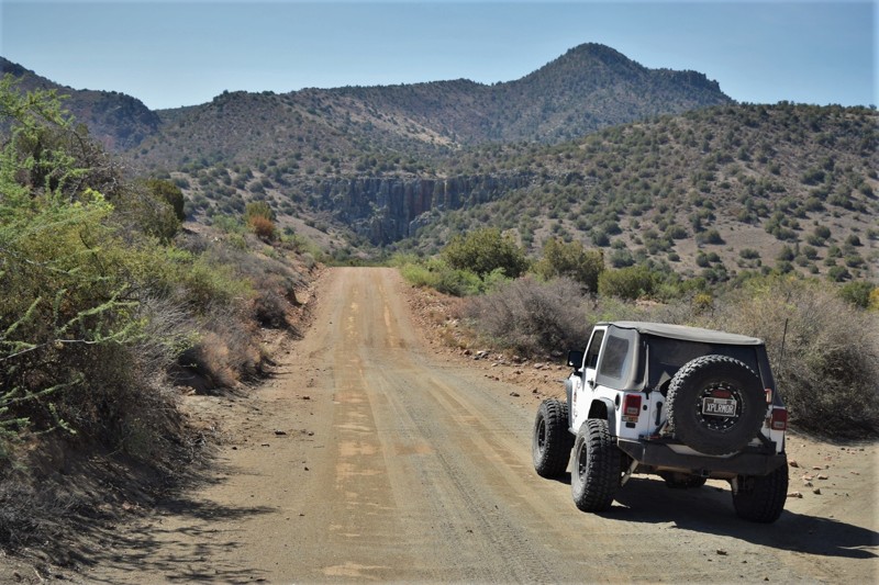
Considered a gateway trail by many, FR71 takes you from the harsh desert of the Tonto Basin to other trails leading to the milder climates high above in the pines of Tonto National Forest. While traveling up the very easy dirt trail you can choose one of the short side trails leading to a local spring with their abundance of blackberries, the best time is around July.
Along the route, there are plenty of opportunities to stop and enjoy the beautiful panoramas of both the Four Peaks and Roosevelt Lake areas. For incredible star gazing, you can choose to camp in the wide open desert while further up the trail many campsites offer shade from the relentless sun. Either way, you're sure to enjoy a remote camping experience.
Updated: 06/04/2024
Hewitt Station Bypass
Superior, Arizona
The region surrounding Superior Arizona is lush with mining history, many large mines are still operating today. This particular trail has long been used to access Bomboy Mine that opened in 1916. It was productive in copper, gold and silver up until it closed in 1971. Most recently the trail has had a rebirth of sorts with the partial closure of Hewitt Station Road, FR 357. The local residents and ranchers closed a 1/2 mile stretch of road to all traffic. This trail connects the two regions of the Montana Mountain area while offering a scenic and historic drive through the Arizona desert. The trail is not accessible by cars.

Updated: 08/02/2022
HS290 - True Grit - Parker
Parker, Arizona
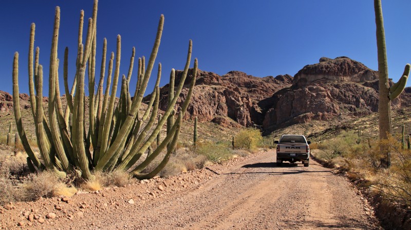
Whether you are an extreme 4x4 enthusiast or looking for an epic rock crawling destination, the True Grit off-road trail near Parker, Arizona has it all. With many towering ledges and waterfalls, extreme off-camber turns, freakishly deep v-notches, and the proximity to the Desert Bar, there is nothing this off-road trail doesn't have if you are wanting something extreme and exciting. The next time you are in the deserts near the Colorado River, and you are looking for something that will test your skills and vehicle, check out True Grit and experiencing what a true difficult offroad trail is all about.
Updated: 12/12/2023
Ajo Mountain Loop
Ajo, Arizona
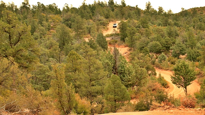
A Saudi prince once visited the Sonoran Desert. The Saudis are experts on the desert. Upon his first view of the Sonoran, he exclaimed, "This is not a desert. This is a garden." Organ Pipe Cactus National Monument's 516 square miles are devoted to preserving a verdant lower Sonoran Desert landscape, home to its namesake organ pipe cactus. The monument is also an International Biosphere Reserve. The Ajo Mountain Loop is the monument's most popular and easiest drive.
The 20-mile loop crosses a valley landscape filled with forests of stately saguaro cacti set against the backdrop of the rugged Ajo Mountain Range. The winding climb through the narrow scenic Diablo Canyon sets the stage for your first look at the Ajo Wondow, a double arch high on a volcanic cliff. Arch Canyon is an easy, popular hike to better view this geologic oddity. Skirting the western slope of Ajo Mountain, the trailhead for the very strenuous Bull Pasture hike has picnic tables and a vault toilet. It's a great area to stop, stretch your legs, and admire the rugged mountainous landscape.
Updated: 02/18/2024
Rye Cypress
Payson, Arizona
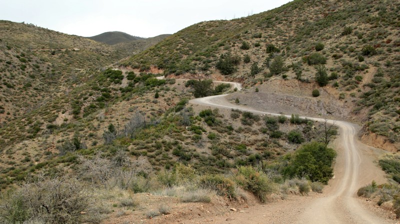
Rye Cypress unveils the rugged beauty of Arizona's chaparral country. Located in the Tonto National Forest, at 2,873,200 acres, the largest of Arizona's National Forests and seventh largest in the nation, the trail is in the looming shadow of the jagged Mazatzal Mountains. The name Mazatzal is difficult to pronounce. Locals often refer to the Mazatzal Mountains as the Mazzies. The name is attributed to an obscure native language now only spoken in central Mexico. It means "place of the deer." As difficult as the name may be, traversing the Mazzies is infinitely harder. The rugged and nearly impenetrable mountains, encased in the Mazatzal Wilderness Area, form a north/south spine in central Arizona crossed by no roads and very few foot trails. Rye Cypress gathers part of its name from the small hamlet in which it originates. A creek shares that name as well, and the trail crosses it often. The Cypress portion refers to an area called the Cypress Thicket that begins roughly at Waypoint 10. It's misnamed since the thickly growing cypress forests are actually a species of the juniper tree. The effects of the 2004 Willow Fire are very apparent in the center portion of this trail. But the "cypress" are having their revenge and growing back thick and fast. Rye Cypress provides great views, nice camping, and a tour through Arizona's chaparral above its cactus-studded Sonoran Desert and below the pine-forested high country above the Mogollon Rim. The easy trail connects to other scenic tracks. It's certainly a slower-paced relaxing alternative to the paralleling paved highways full of speeding cars.
Updated: 07/07/2022
Pine Mountain
Payson, Arizona
A drive up Pine Mountain unveils the rugged beauty of Arizona's chaparral country. Located in the Tonto National Forest, at 2,873,200 acres, the largest of Arizona's National Forests, the drive offers long views across a vast landscape of rolling hills and deep sycamore-lined canyons carved by small streams fed by runoff from the looming Mazatzal Mountains. The name Mazatzal is difficult to pronounce. Locals often just refer to the Mazatzal Mountains as the Mazzies. The name is attributed to an obscure native language now only spoken in central Mexico. It means "place of the deer." As difficult as the name may be, traversing the Mazzies is infinitely harder. The rugged and nearly impenetrable mountains, encased in the Mazatzal Wilderness Area, form a north/south spine in central Arizona crossed by no roads and very few foot trails. Pine Mountain leads to one of those trails, the famed Arizona Trail, a National Scenic Trail that traverses the entirety of Arizona from Mexico to Utah. Pine Mountain climbs steadily, beginning in the chaparral of grasses, pinion pines, juniper, agave, and prickly pear cactus and ending at the Mount Peely trailhead amongst the tall Ponderosa Pines of Arizona's high country. Mount Peeley, at 7030 feet, towers over the trailhead. Portions of the trail were affected by the 2004 Willow Fire and the 2012 Sunflower Fire. The evidence of regrowth in this area is impressive as nature seeks to heal itself. While you might not be hiking the Arizona Trail, a drive up Pine Mountain reveals much of the rugged and diverse beauty of central Arizona.
Updated: 09/18/2023
Swansea Road
Bouse, Arizona
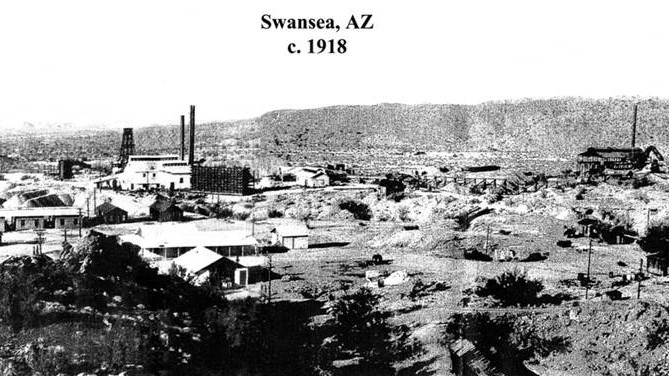
If you like old ghost towns and stories of the boom and bust mining cycles in the Southwest, Swansea is for you. Mining began in the area of Swansea around 1862, but the site was so remote that getting ore to a smelter was extremely difficult. In 1904 the Arizona & California Railroad connected the nearby hamlet of Bouse to the rest of the world. Investors began building the Arizona & Swansea Railroad to connect to Bouse and construct infrastructure in Swansea. By 1909 Swansea had 500 residents. The mines operated under differing owners until 1937. The Great Depression signaled the end of Swansea. Today, primarily foundations remain. Some of the worker's quarters still stand. BLM has done an admirable job marking each of the sites with the purpose of the original building. It is easy to trace the railroad bed as it winds through the ghost town. Few visitors venture past the Swansea ghost town, but Swansea Road continues through a remote and rugged landscape to the banks of the Bill Williams River.
Updated: 03/02/2024
King Road
Quartzsite, Arizona
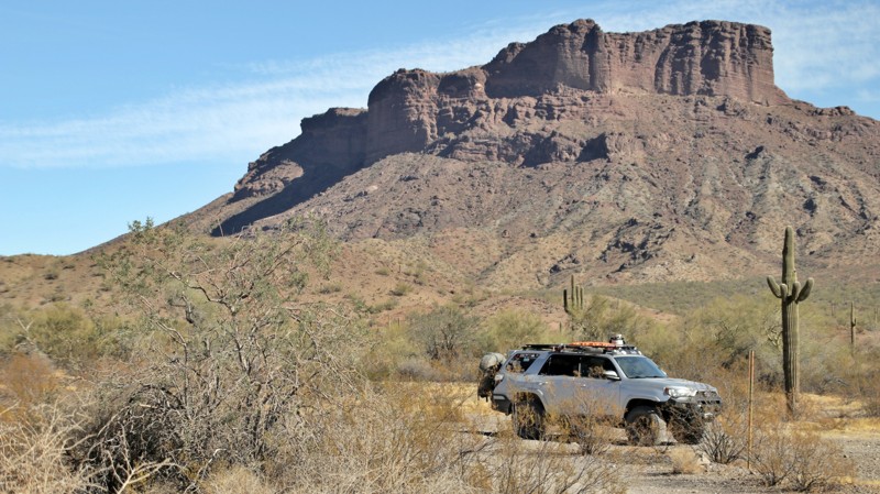
Charles E. Eichelberger discovered gold in an unnamed string of low rugged mountains in southwestern Arizona in 1986. The resulting mine was named the King of Arizona Mine. Rail shipments of supplies and equipment were brought in by wagon over Engesser Pass, the nearest rail siding being over 50 miles away. Soon the crates of gear and supplies were simply marked K of A, the mine's initials. The acronym stuck and soon, the entire area was simply known as Kofa. The short-lived mining town had 300 residents, a post office, and even a dam to store the runoff from limited seasonal rains. The gold rush in the area died off slowly in the early 1900s. In 1939 the Boy Scouts led an effort to preserve 666,640 acres in the area as habitat for desert bighorn sheep and other wildlife. Their efforts resulted in the Kofa National Wildlife Refuge, which covers four mountain ranges and vast low Sonoran Desert valleys. Today a wide dirt road crosses the broad King Valley ending at the entrance to the mine, which is on a small island of private property and is sporadically operated today. King Road is used as the main western entrance into the Kofa National Wildlife Refuge. While an easy drive, the road offers scenic views of the Kofa Mountains to the northeast and the Castle Dome Mountains to the southwest. Looking northeast, you can easily spot Kofa Butte, a steep-sided flat-top promontory. King Road ends near Kofa Butte.

Upgrade your Membership
Unlock all of the details on every Trail Guide and Scout Route.
Start a 7-day Free TrialCommunity
Partners

