







By clicking "ACCEPT", you agree to be the terms and conditions of each policy linked to above. You also agree to the storing of cookies on your device to facilitate the operation and functionality of our site, enhance and customize your user experience, and to analyze how our site is used.
Arizona Off-Road Trails
373
Total Trail Guides 359

4679
Detailed Waypoints 676
Try a Free 7-Day Trial and unlock it all
Start a Free Trial Most Recent Trail Reviews
No Rating
Open
Visited: 09/23/2026
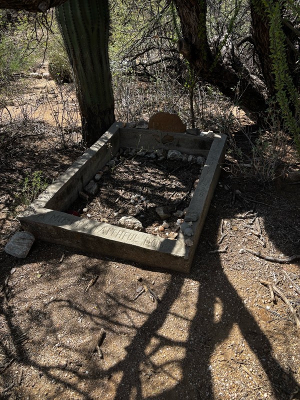
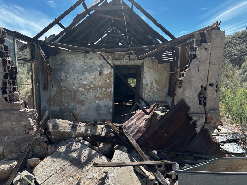
Gets a little technical at the end but the difficulty is spot on.

KR
Keith Ringiesen
No Rating
Open
Visited: 09/22/2026
The road was very smooth with the normal views running through the pines. Reminded us of many of the trails in the White Mountains.
T
Tom
No Rating
Open
Visited: 09/22/2026
Even with all of the recent rain, this trail was mostly dry ... a few ruts had water in them. Looks like there was a bad washout at the northern end of the trail on Apache Maid between waypoints 7 an...
T
Tom
No Rating
Open
Visited: 09/22/2026
Still an easy trail ... even after all of the rain.
T
Tom
Rated 4/5
Open
Visited: 09/22/2026
Hard pack, easy forest service road that is a great back way to the North Rim of the Grand Canyon.

Tyler D’Hulst
Rated 4/5
Open
Visited: 09/22/2026
Spring Canyon is a beautiful drive. We didn’t go out to the cabin but used this western section of road coming back from Crazy Jug

Tyler D’Hulst
Rated 4/5
Open
Visited: 09/22/2026
We took this out to Crazy Jug. The northern section is hard packed forest service road. Not difficult. Very scenic drive through the ponderosas.

Tyler D’Hulst
Rated 5/5
Open
Visited: 09/22/2026
View point is spectacular! Trail was easy going out, no obstacles at all. Saw a Toyota Camery at the viewpoint.


Tyler D’Hulst
Rated 3/5
Open
Visited: 09/22/2026
An alternative route out to Crazy Jug Point. It’s easy and can be scenic in areas. I’d recommend West Ryan out to Crazy Jug though.
Tyler D’Hulst
Rated 3/5
Open
Visited: 09/22/2026
A quick connector trail through the burn patch.
Tyler D’Hulst
Rated 5/5
Open
Visited: 09/20/2026
Leviathan Mine trail is a full day trip. Though it is only 20 miles in length the travel is slow and rough. Majority of the trail you will be going between 5-10 MPH. Then once at the end it connects w...



Eric Gartin
Official Crew
Rated 5/5
Open
Visited: 09/19/2026
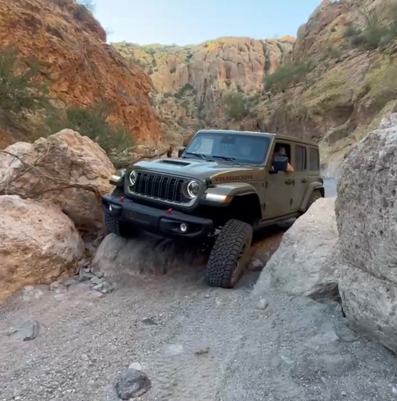
The harder obstacles aren’t that bad anymore. With the amount of sand and gravel that has washed into the canyon. The main constraint is the wedge between the 2 rocks; but I found it easy if you stick...
BC
Brian C
Rated 4/5
Open
Visited: 09/19/2026
Simple road, well graded today. Many mountain bikers coming down from the West out of Breezy Pines. Not too many people out until approaching Senator Hiway. We went East to West as I think thats a bet...



Jeff Burnett
Rated 3/5
Open
Visited: 09/19/2026
The trail itself is not spectacular, it's pretty flat across the plains. However, driving up to the overlook and seeing a huge gaping hole in the ground is a great juxtaposition to the flat trail. The...
Tyler D’Hulst
Rated 3/5
Open
Visited: 09/19/2026
A nice trail ride from the main road down off the plateau. It's graded forest service road until the switchbacks. The switchbacks themselves are not difficult, road is not graded. This section has bee...
Tyler D’Hulst
Rated 3/5
Open
Visited: 09/18/2026
The end of the trail is not well marked, and can cause confusion. Also, vehicle passes are required for all backcountry routes within the Lake Mead National Recreation Area.
Eric Gartin
Official Crew

Ted Whisler
No Rating
Open
Visited: 09/17/2026
Nice ride west side a little rocky but rating is true to #2


Ted Whisler
Rated 3/5
Open
Visited: 09/15/2026
A nice drop off the plateau heading towards Marble Canyon. Not a difficult road. Road is weathered but not challenging.
Tyler D’Hulst
No Rating
Temporary Closure
Visited: 09/15/2026
Road closed due to multiple washed out wash crossings after the turn off to go up the mountain. "Road Closed" sign put out by BLM on trail.
Tyler D’Hulst
No Rating
Temporary Closure
Visited: 09/15/2026
After the turn off to head up the mountain there are multiple washed out wash crossings. A "Road Closed" sign has been put out by the BLM.
Tyler D’Hulst

Ben Ruddell
Official Crew
Rated 4/5
Open
Visited: 09/14/2026
Bogles Ranch Road is a great Sunday afternoon drive type of dirt road that climbs up in elevation and gives some spectacular views of the surrounding area. The first half passes through State and Priv...


Eric Gartin
Official Crew
Ben Ruddell
Official Crew
Rated 3/5
Open
Visited: 09/14/2026
Antares Road is an excellent way to travel from Route 66 to the eastern portion of the Lake Mead National Recreation Area. This wide county road is well maintained with minor washboarding, most of whi...


Eric Gartin
Official Crew
Rated 3/5
Open
Visited: 09/14/2026
Hackberry road is a wide dirt road with minimal erosion damage and washboarding. There are a couple of larger washes that cross Hackberry road creating wide stretches of loose sand which can cause iss...


Eric Gartin
Official Crew
Rated 3/5
Open
Visited: 09/13/2026
This is a very rough, rocky, & slow going trail. Expect around 4+ hours for the trail & another hour to get the highway. One of those trails I'm happy I did but I wont be back personally. High clearan...

Brandon W
No Rating
Open
Visited: 09/12/2026
I think the rating is spot on. The ruts and washouts at the beginning are not as bad and if you hug the inside of the shelf road they can be avoided. The middle part is same general sandy wash with ov...



Greg Page
Rated 4/5
Open
Visited: 09/11/2026
Ran this trail as part of a larger loop. Trail is in great shape. Easy for standard 4x4 with no lift. Passengers can do it until maybe the very end by the lake where the road gets rocky and washed out...


Jeff Burnett
Rated 5/5
Open
Visited: 09/10/2026
This is one of my favorite scenic trails in the area. The trail is easy to travel, but does have some optional short trails that will test your vehicle. The views from the Grand Wash Cliffs of the Hua...


Eric Gartin
Official Crew
Rated 3/5
Open
Visited: 09/07/2026
This trail by itself is nothing special. It is mostly used as an access road to get to the more technical trail such as Homecourt, Twister, and Waynes World. This is a great trail for the beginner to ...


Eric Gartin
Official Crew
Rated 3/5
Open
Visited: 09/07/2026
This trail is an enjoyable alternate route when traveling on Blake Ranch Road (7163). The trail is easy with only a handful of spots with erosion damage. The few established camping sites appear to n...


Eric Gartin
Official Crew
Rated 5/5
Open
Visited: 09/07/2026
Ran this trail from Boynton Pass Road to Loy Butte Road (opposite direction from what is listed). Ran into a few rental ATVs and a couple of Jeeps heading the opposite way. This was a fun trail wit...



Daniel Macioce
Rated 5/5
Open
Visited: 09/07/2026
This trail was a lot of fun, plus the views were amazing. I ran the trail in the order posted, starting at the south trailhead and finishing at the heritage site. Past a motorcycle, a few jeeps and a...


Daniel Macioce
Rated 4/5
Open
Visited: 09/07/2026
Nice trail, ran West to East. For some reason the map shows this a a one-way trial, East to West. That is not the case, it is a two way trail. Was pretty washed out starting around mile 12. Plenty roc...


Jeff Burnett
No Rating
Open
Visited: 09/06/2026
New trail for me. You didn’t know what it would throw at you around every corner which is why you try to find new trails or old forgotten ones
KB
Kory Burden
Rated 5/5
Open
Visited: 09/06/2026
The trail is no joke—steep, narrow, and technical enough that you’ll want to be comfortable with off-camber shelf roads, rocky terrain, and washouts that will test your vehicles articulation. The rew...



Bobby Rumbaugh
Official Crew
Rated 5/5
Open
Visited: 09/06/2026
Fun trail if you don't want to do pyeatt draw itself. Ran this trail 3yrs ago and definitely a little more erosion but, still any truck or suv with good factory ground clearance can do it. From previo...
JM
James m
Rated 4/5
Open
Visited: 09/06/2026
Ran this trail from I-17 to Sedona. Extraordinary views descending into Sedona. As others have noted, there are lots of rock on the trail, making it slow going. Passed a large number of Pink Jeeps ...


Daniel Macioce
Rated 4/5
Open
Visited: 09/05/2026
This one definitely changed over the last few years. The southern section has some legit, steep, off-camber sections. YOU NEED experience, backup, and a capable vehicle on this one now. It's not supe...


.jpg)
Bobby Nelson
Official Crew
Rated 4/5
Open
Visited: 09/05/2026
Another amazing time on this scenic crossover. We came in from Walnut Canyon and finished out on Price Road after about 6 hours. A challenging and hot day for the old TJ. Rincon Road has evolved into ...


Bobby Nelson
Official Crew
Rated 4/5
Open
Visited: 09/05/2026
We started exactly at sunrise to try and beat the heat. We planned to crossover to Box Canyon and out on Price Road. It ended up taking us 6 hours, even with all the photos and filming we did. A chall...


Bobby Nelson
Official Crew
Rated 5/5
Open
Visited: 09/04/2026
We recently ran Four Peaks after the monsoon rains. Here’s what we found and what to expect if you’re planning to run it. Have a GR8 day!

Jeep 4 Dirt
Rated 5/5
Open
Visited: 09/04/2026
Breathtaking views. Definitely don't rush through the trail. Devil's staircase was a bit slippery but awesome. A few tight stops here and there, but a trail that's a must on anyone's to do list.



Christopher Bradley
Rated 4/5
Open
Visited: 08/30/2026
Id say this is a 3.5 to 4 trail. There are some obstacles, but nothing you really need to think hard about how to approach. If you send your vehicle at it in 4 low you'll get through everything.



Justin Holsinger
Rated 4/5
Open
Visited: 08/28/2026
Rim Road (FS300) West to East. Very well groomed gravel forest road. Accessible by just about any vehicle thats not been lowered. Who does that anyway? Scenic views the whole route. Hard to believe on...


Jeff Burnett
Rated 4/5
Open
Visited: 08/28/2026
Not a bad road but it was crowded with sxs and vehicles towing campers. Hard to rate 5 stars for a busy road. Super easy any vehicle can do this. Part is paved near the freeway but the rest is gravel.

Tony Rockwell
Rated 4/5
Open
Visited: 08/28/2026
I rated 4 stars just due to the volume of sxs & camper trailers on the road.
Easy drive, any car can do this.
Ran from sheep springs to munds park, see other reviews for full route.

Tony Rockwell
Rated 4/5
Open
Visited: 08/28/2026
I ran Bar M in reverse to get to this trail. Then headed toward Casner Park Road. (See reviews I did on each of those)
Nice easy trail that is less rough than Bar M.
Nice drive through trees.


Tony Rockwell
Most Popular
Updated: 06/05/2022
FR 612
Pine, Arizona
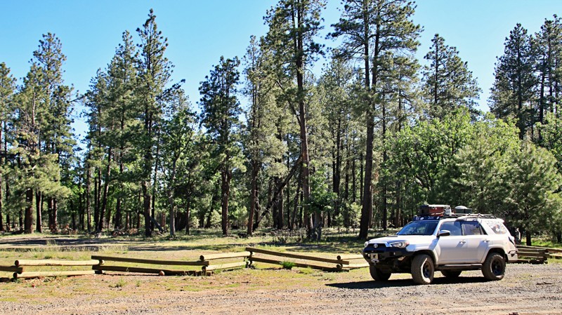
With a massive campsite bordering a picturesque alpine meadow and a pretty little seasonal lake with a sand beach, FR 612 punches way above its weight class. Set in the vast pine woodlands of the Coconino National Forest, this little trail is worth serious consideration. Features include solitude and a natural water feature. A wooden rail fence surrounds a grassy meadow where elk graze in the evenings. The wind sings a soothing melody in the tops of the tall pines. Seriously fantastic campsites await you and your friends. Cool breezes help you forget the desert's summer heat. Yeah, all that does sound like an advertisement for a retirement village in Florida. But it can all be yours for the low price of a tank of gas and an easy drive into Arizona's high country. Seriously, what do you have to lose? Check out FR 612 today. With our complimentary free camping offer, you can't afford to miss this opportunity.

Updated: 07/21/2026
Rosilda Spring
Parks, Arizona
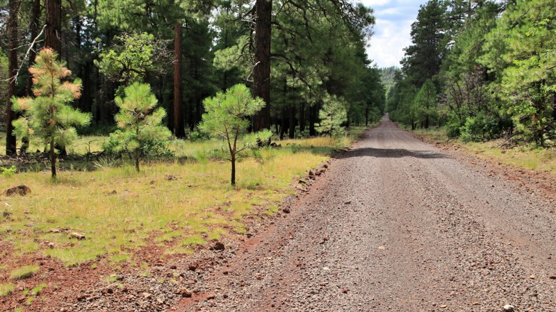
This easy Ponderosa pine-lined trail leads to a plethora of large shaded campsites. All have fire rings and could host numerous vehicles.
The west end of the trail has a historic Civilian Conservation Corps site. Camp Boyce housed 200 men from 1933 to 1942. They were mostly involved with road building and forest management.
Updated: 09/10/2026
Mesquite Loop
Arivaca, Arizona
Buenos Aires National Wildlife Refuge in southern Arizona was established in 1985 for the reintroduction of masked bobwhite quail and the restoration of natural landscapes and their native wildlife, including the Sonoran Pronghorn. The 118,000-acre refuge lies in a broad Altar Valley between the Baboquivari Mountains, with their prominent main peak in the west, and the lower San Luis Mountains to the east. In the 1850s, Pedro Aguirre, Jr. built a homestead here in 1864 and named it Buenos Ayres, or "good air," because of the constant winds. His ranch changed hands several times before being purchased to form today's wildlife refuge. The refuge's visitor center is located in the adobe ranch house.
The refuge has over 80 designated campsites identified by a numbered sign. Camping is free and allowed for 14 days in a 30-day period, but only in the designated campsites. Most campsites have a fire ring/grill. Site sizes vary from a single vehicle to large enough for multiple RVs and trailers. Most are suitable for tents.
Fuel and limited supplies are available in the nearby small towns of Sasabe and Arivaca.
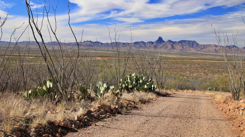
Conveniently located near Arivaca, the Mesquite Loop has nine designated campsites set into the foothills of the San Luis Mountains. Site 47, near the trail's western end, is the largest of the campsites. This pull-through has a fire ring like all the other sites. The remaining sites are best suited for a single vehicle. There is a wash crossing and a steep hill climb along the northern segment of the loop. The trail offers outstanding views of Baboquivari Peak and the observatory at Kitt Peak. Spindly ocotillo line the trail.
Updated: 08/18/2025
River Reservoir
Greer, Arizona
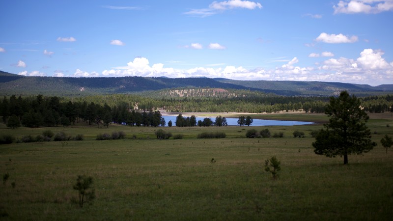
This short trail is an alternative way to visit River Reservoir without encountering as many people or as much traffic as on the north side of the Greer Lakes. The gravel road is well maintained throughout but may be a problem during rains, as steep hillsides along the south side could produce runoff flooding the road. There are cabins along the early and late portions of the road, which ends at a ranch, and the closed FR8899. At the end of the road is a wide turnaround/parking area and a nice view over River Reservoir to the mountains beyond. Lake access is available at the River Reservoir South Fishing Site, which offers picnicking under a ramada and a vault toilet but no running water.
Camping within the Greer Recreation Area is limited to Forest Service campgrounds in Hoyer and Benny Creek for group camping. The Hoyer Campground has over 100 sites and can accommodate large trailers and RVs.
As a point of interest, the Butterfly Lodge Museum sits at the very start of the road, the historic 1914 cabin home of author James W. Schultz, later his son artist Hart M. Schultz (aka Lone Wolf). Once past the initial cabins, there is an area on the south side of the road with a wooden post fence enclosure that holds the gravestones of three children who died before the age of one. There is a similar but smaller enclosure across the road just a ways further along, but no gravestones are visible.
Updated: 10/15/2024
Robert E Tank Road
Perkinsville, Arizona
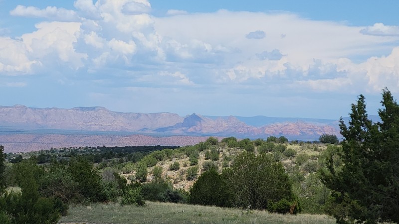
Forest Road 164 is an out-and-back trail that travels in a northern direction, beginning at Perkinsville Road and ending at the trailhead for River Trail #517. The trail has some sections of loose dirt and rock but can be easily driven in two-wheel drive with high clearance in dry conditions.
This trail offers views of the Mogollon Rim and has a high potential for seeing deer or elk. At the trail's end, there is a single campsite with amazing views of Hell Canyon, the Verde River, and the Mogollon Rim.
Updated: 10/15/2024
North McVay Road
Utting, Arizona
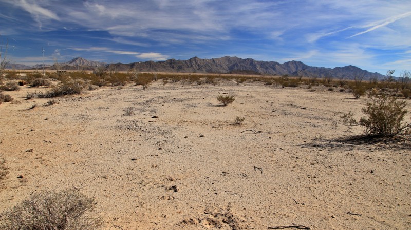
Crossing the broad Butler Valley and parallelling the Granite Wash and Harcuvar Mountain ranges to the east, the trail is a well-maintained, unremarkable dirt road until its intersection with Grahams Well Road. From Grahams Well northward, the trail is an unmaintained track with deep sand, ruts, and moguls following Cunningham Wash. Avoid this portion of the trail unless you like driving in deep sand. 4WD with clearance is a must. Recovery boards are highly encouraged. Expect minor pinstriping. The northernmost three miles emerge from the deepest sand before ending on Midway Wenden Road near Camp Bouse.
While there are a few small flat areas for camping, there is much better camping at Camp Bouse and along Midway Wenden Road and Grahams Well Road.
Updated: 10/15/2024
Midway Wenden Road
Midway, Arizona
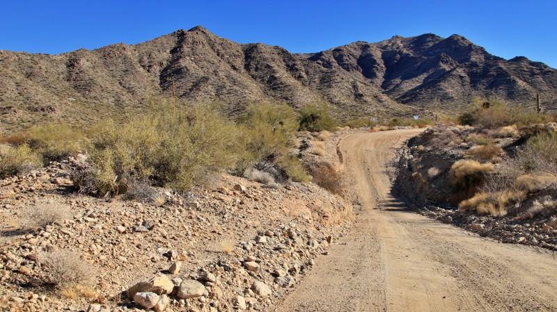
The Midway Wenden Road crosses the broad Butler Valley in the east before skirting through the foothills of the Buckskin Mountains via Wenden Pass, just below Battleship Peak. The road's primary purpose was to access Camp Bouse in the 1940s. Today, the road is used to maintain an electrical transmission line. The trail is sporadically maintained and is either deep, natural gravel or sand. Views along the trail are nice if you disregard the powerline. Historic Camp Bouse is the main reason for driving the trail.
There's a huge campsite, staging area, and informational signage at Midway, the intersection at the trail's western end.
Updated: 10/15/2024
Sunflower Flat
Parks, Arizona
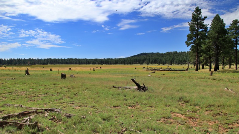
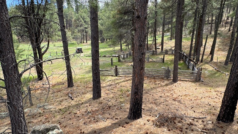
Sunflower Flat is a 160-acre fenced wildlife habitat preserve situated along a seldom-maintained forest trail with four superb campsites nestled in the pines of the Kaibab National Forest. Up a short spur trail, JD Cabin is an old homestead with a log cabin and barn. James Douglas settled here in the late 1800s and is supposedly buried nearby. The cabin is old but likely built in the early 1900s as a replacement for the original log structure. Camping isn't allowed at either the wildlife habitat or the homestead, but they are interesting places to visit.
The trail is rutted and muddy after any rain. A carefully driven 2WD with clearance should be just fine.
Updated: 02/17/2025
Coconino FR6399
Oak Creek Canyon, Arizona
The trail will lead you deeper into the forest, offering more areas to explore. This out-and-back trail starts at Woody Mountain Road and heads northwest on an easy dirt trail. There are no challenges or camping on this trail; it just gets you off the beaten path. Along the way, you will pass Mos Tank and many fallen trees, some of which are on the trail. You may see a few deer or an elusive elk if you are lucky. The trail ends near the backside of Fernow Cabin. Although the trail does not provide access to the cabin, the corral at the end may be a nice place to take a break or continue hiking on one of the closed forest roads. Old maps may show connecting trails where this one ends, but they are closed and signed as such.
Updated: 09/05/2025
Porter Mountain
Pinetop-Lakeside, Arizona
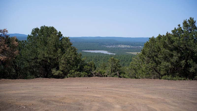
Porter Mountain (FR223) is a short climb most of the distance up toward the communication towers at the summit of Porter Mountain. A gate prevents unauthorized vehicles from continuing to the top, but it is a relatively short walk of a little more than ⅓ mile on the closed portion of FR233 to the towers and the summit. The gravel road is well-maintained, with some washboards and small rocks. The open portion of the road ends at a large turnaround/parking area known as Porter Mountain Outlook, from which one has expansive views (up to 180°) to the west.
The road's shortness and the terrain's nature allow few, if any, campsites.
Updated: 07/06/2026
Indian Butte River Run
Camp Creek, Arizona
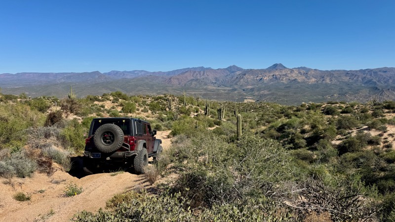
This offshoot from the Indian Springs Trail provides a scenic route down to the edge of the Verde River, offering a quieter alternative to the more commonly traveled river access points in the area. The trail is composed primarily of hard-packed dirt and sand, with numerous water-carved ruts and mild off-camber sections that will moderately flex your suspension. While not overly technical, these features contribute to a moderate overall rating and require attentive driving.
Be sure to stop at the high point just after cresting the saddle, where you’ll find an excellent vantage point with sweeping views of the Mazatzal Mountains rising to the east. This is one of the most scenic moments along the trail and a great place for photos.
The trail ultimately descends to a small riverside area at the Verde River. While it’s a pleasant spot to stretch your legs or enjoy a quick break, the ground here is uneven making it unsuitable for camping. There are no suitable campsites along this trail.
This trail is part of the Tonto National Forest St. Clair OHV permit area. A permit is required. Use the permit link above for more information.
Updated: 10/15/2024
Old Plomosa Road
Quartzsite, Arizona
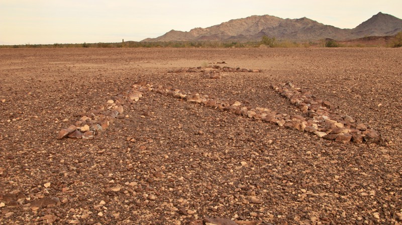
In the early days of aviation, navigation was always an issue. Old Plamosa Road leads to one of the innovative ways early airmail pilots found their way across the country. Rocks are laid out spelling QUARTZSITE with an arrow pointed roughly towards the town. Another arrow with a very large N points north. Low-flying aircraft navigated from sign to sign.
Old Plamosa Road is a bypassed dirt section of the original when the new road was paved. It is suitable for 2WD vehicles and crosses two minor sandy washes. The rock navigation arrows are fenced off from a large parking area. There are numerous campsites for rigs up to and including RVs.
North a short distance is the Bouse Fisherman, and intaglio rock art dating from at least a thousand years ago.
Updated: 06/03/2026
Bighorn Cove
Willow Beach, Arizona
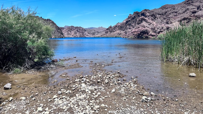
Bighorn Cove Road is a scenic 4.5 mile out-and-back trail that travels along the Mead-Liberty/Phoenix power lines to Bighorn Cove on Lake Mohave. The trail winds around mountain spurs and draws. Enjoy the stunning views of the Eldorado Wilderness area as you enter a wash for the last mile of the trail before entering the cove. Bighorn Cove Road is maintained by the National Park Service with a few rough sections of sand and gravel. The cove is a great place to relax for lunch when in the Willow Beach area or to spend the night camping. Bighorn Cove is a popular stop for Kayakers when traveling the Black Canyon National Water trail. Lake Mead National Recreation Area is a fee area and requires an entrance pass to recreate within.
Updated: 10/15/2024
The Flats
Florence, Arizona
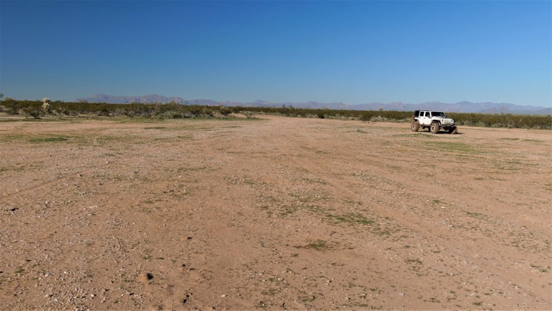
Hidden behind Black Hill, The Flats is precisely as it sounds, a large wide open flat terrain. The highlight of this route is the camping. The easily accessible trail, with its smooth flat ground, is close to a collection of Arizona's best 4x4 trails. In dry conditions, the route can be easily driven in 2WD. The trail can be muddy for weeks during the Winter or after late Summer monsoons. Mud tires and 4WD are needed if you encounter mud. You must obtain an AZ State Land permit to access this area.
Updated: 04/24/2026
Mohave County Highway 103
Mount Trumbull, Arizona
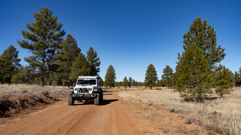
Mohave County Road 103 connects the Mount Trumbull Loop’s Main Street section to Grand Canyon National Park’s Kelly Point Road (NPS 1203). From Main Street, the road transitions from a well-graded surface to a lesser-maintained BLM road. It soon enters the Grand Canyon–Parashant National Monument, where the surface becomes increasingly rocky and uneven. From this point onward, expect a mix of rough dirt, muddy ruts, and stretches of bumpy rock. Depending on the most recent maintenance, you may need to straddle ruts or navigate shallow mud holes, especially in the final miles. Overall, the terrain remains suitable for any high-clearance vehicle and is considered non-technical. However, the road surface is soft in places, and wet weather can quickly turn sections into mushy mud that can trap vehicles. Free-range cattle are also common along the route.
Much of the drive winds through stands of pinyon trees, which obscure many of the long-distance views. Still, you’ll encounter several openings that offer impressive vistas. Near the end, as elevation increases, the landscape transitions into ponderosa pine forest before meeting Kelly Point Road at the boundary of Grand Canyon National Park.
While the surrounding terrain generally supports dispersed camping, there are surprisingly few established sites along this 43-mile stretch. A couple of good spots can be found near Main Street, with several more located in the ponderosa pines during the final third of the route. A vault toilet is available at the midpoint.
For hikers, this route offers more than just access to the National Park boundary. It also leads to the Mt. Dellebaugh Trail, a 6-mile round-trip hike with 883 feet of elevation gain. At the trailhead, an interpretive sign shares the story of several men who had reached their limit during the first expedition into the Grand Canyon. The story reads like this:
---------
Abandoning the 1869 Powell Expedition
Three terrified men, overwhelmed by their journey into the Grand Canyon, finally had enough of white-water rapids and near-death experiences. Seneca Howland, O.G. Howland, and William Dunn were members of John Wesley Powell's first Grand Canyon expedition. Powell and his team were exploring and mapping the west on behalf of the U.S. government.
As Powell led the group into the mysterious depths of the canyon, everyone's fears grew. Some muttered about wanting to leave the expedition. As steep as it was, Dunn and the Howlands talked of climbing out of the Grand Canyon.
Powell implored the trio to stay but after one too many scares their minds were made up. They walked away from the small wooden boats and into history.
It must have been a grueling climb, but the three were able to hike up through what is known today as Separation Canyon. That is an astonishing 5,000 feet of elevation gain. After they reached the canyon rim, they needed to get their bearings. The men likely climbed Mt. Dellenbaugh to get above the trees so they could figure out what direction to travel. Then they disappeared. Ominous rumors spread that they had been killed.
Powell successfully completed his expedition. Later he returned to the area to find out what happened to the men. Controversial stories point fingers at a few suspects, but the truth will likely never be known. In the end, Dunn and the Howlands were simply in the wrong place at the wrong time. Their bodies were never found.
When the men abandoned Powell's expedition, they had already traveled over 250 miles through the Grand Canyon. Even Powell couldn't have known, but the group was only 25 miles from the end of the canyon. Had the Howlands and Dunn stayed with Powell and endured a few more terrifying days on the river, they would have likely survived the journey.
---------
Interestingly enough, Mount Dellenbaugh is named after Frederick S. Dellenbaugh, who was an artist, topographer, and explorer who joined John Wesley Powell’s second Colorado River expedition in 1871–73. The interesting part is that the Dellenbaugh Tunnel in Moab is also named after him.
Updated: 10/15/2024
Doyle
Bannon, Arizona
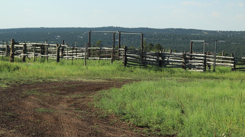
Passing its namesake, Doyle Mountain, this brief trail passes through pines and open meadows. There is an impressive corral along the way. There is no camping directly on the trail, but the small spur trails on the southern end have sites along the edge of a meadow,
Updated: 10/15/2024
Sierra Vista
Sasabe, Arizona
Buenos Aires National Wildlife Refuge in southern Arizona was established in 1985 for the reintroduction of masked bobwhite quail and the restoration of natural landscapes and their native wildlife, including the Sonoran Pronghorn. The 118,000-acre refuge lies in a broad Altar Valley between the Baboquivari Mountains, with their prominent main peak in the west, and the lower San Luis Mountains to the east. In the 1850s, Pedro Aguirre, Jr. built a homestead here in 1864 and named it Buenos Ayres, or "good air," because of the constant winds. His ranch changed hands several times before being purchased to form today's wildlife refuge. The refuge's visitor center is located in the adobe ranch house.
The refuge has over 80 designated campsites identified by a numbered sign. Camping is free and allowed for 14 days in a 30-day period, but only in the designated campsites. Most campsites have a fire ring/grill. Site sizes vary from a single vehicle to large enough for multiple RVs and trailers. Most are suitable for tents.
Fuel and limited supplies are available in the nearby small towns of Sasabe and Arivaca.
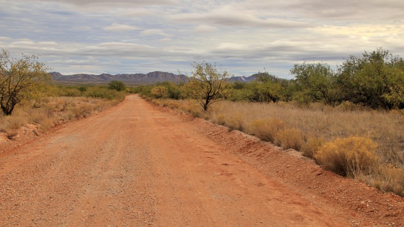
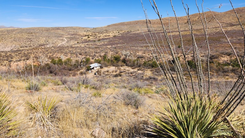
Sierra Vista runs from Highway 286 to a gated parcel of private property, crossing Big Bertha along the way. The trail is graded and well-maintained. It's a nice cutoff going to or from Camp 74.
Updated: 03/20/2025
Wakefield Cabin
J-Six Ranchettes, Arizona
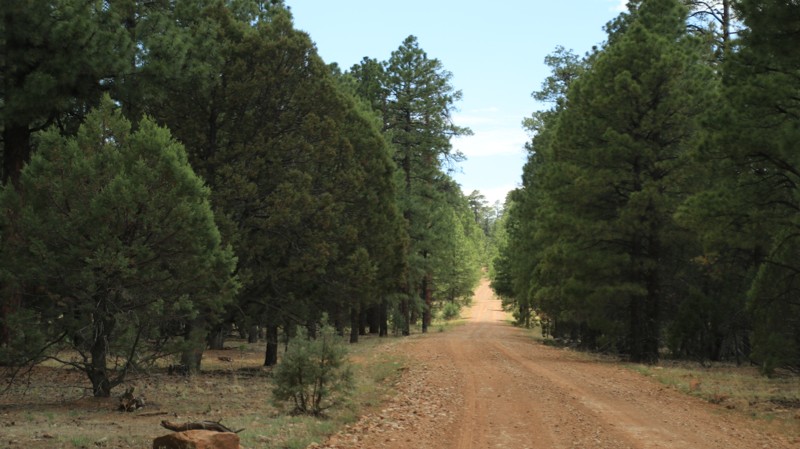
The Wakefield Cabin trail is a dead-end trail that takes you through historic ranch land. Near the end, as you descend into a small canyon, you'll notice an abandoned Buddhist cabin on your left. The trail dips into a wash for about a quarter mile, so it's important for riders to follow the trail maps closely. There is a section where the trail briefly exits the wash before re-entering, which helps avoid a significant step that could potentially damage your vehicle.
Be aware that part of this trail is in a wash with loose sand and gravel. Depending on recent weather, you may encounter moving or standing water, as well as trenches. There are several off-camber areas and large ruts to navigate, so choosing a good line will be beneficial.
Like the other trails in this area, there are no obvious camping spots. State Trust permits are required for this area.
Updated: 10/15/2024
Buck Horn
Heber-Overgaard, Arizona
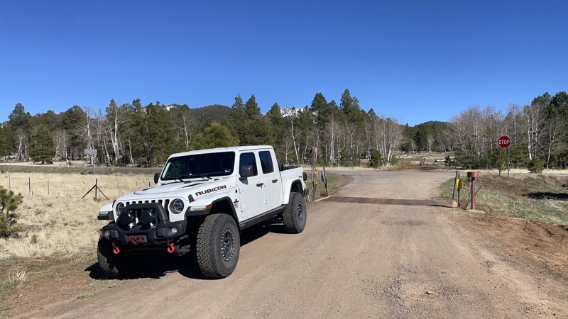
Buckhorn runs between Highway 260 near Heber-Overgaard and Nelson, FR 122, through a beautiful Ponderosa Pine forest along a lovely wash. An old corral reminds you that area is the setting for most of Zane Grey's old western novels. Dispersed campsites are abundant. Most will support multiple rigs of any size, tent camping, and hammocks.
Updated: 01/04/2025
Crowley
Fort Valley, Arizona
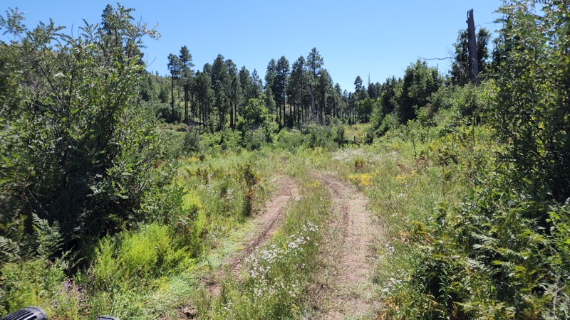
FR193 is a well-maintained connector from US-180 to the Kendrick Mountain road and area. No camping is allowed on this road unless indicated otherwise; the USFS has the areas near US-180 closed to camping due to excessive impacts.
Updated: 10/15/2024
FR 9568M
Heber-Overgaard, Arizona
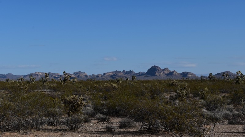
FR 9568M has an eastern offshoot that dead-ends at a wash as the trail gradually gets grown over. This section has a high chance for pinstriping and is the more difficult section with ruts and a wash. The main trail connects to FR 9564A and has some beautiful views as it climbs the hills. There are loose rocks and deeply rutted sections. No noticeable camping sites.
Updated: 10/15/2024
7396
Larneds Landing, Arizona
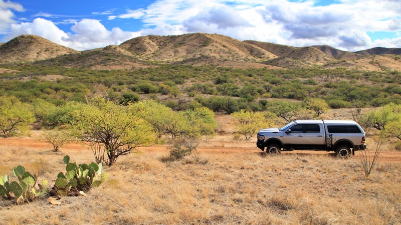
7396 is a surprisingly pretty trail with beautiful mountain views. It's a single-lane trail, occasionally used as a connector between Dutch Flat and Planet Ranch Roads. A couple of intersecting trails would be fun to explore and passes by Desert Tank, which appears to be an earth dam across a wash to collect water. The scenery and solitude out here are fantastic.
Updated: 10/15/2024
Castle Rock Tank
Sasabe, Arizona
Buenos Aires National Wildlife Refuge in southern Arizona was established in 1985 for the reintroduction of masked bobwhite quail and the restoration of natural landscapes and their native wildlife, including the Sonoran Pronghorn. The 118,000-acre refuge lies in a broad Altar Valley between the Baboquivari Mountains, with their prominent main peak in the west, and the lower San Luis Mountains to the east. In the 1850s, Pedro Aguirre, Jr. built a homestead here in 1864 and named it Buenos Ayres, or "good air," because of the constant winds. His ranch changed hands several times before being purchased to form today's wildlife refuge. The refuge's visitor center is located in the adobe ranch house.
The refuge has over 80 designated campsites identified by a numbered sign. Camping is free and allowed for 14 days in a 30-day period, but only in the designated campsites. Most campsites have a fire ring/grill. Site sizes vary from a single vehicle to large enough for multiple RVs and trailers. Most are suitable for tents.
Fuel and limited supplies are available in the nearby small towns of Sasabe and Arivaca.
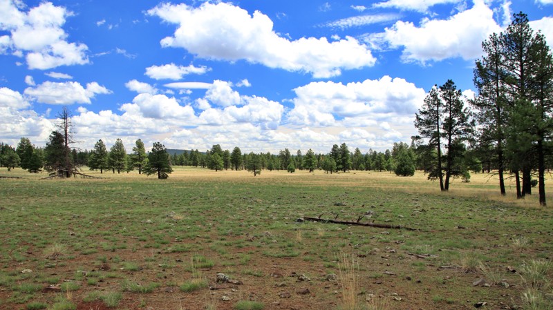
Castle Rock Tank begins in the refuge as 202 and enters the Coronado National Forest, changing road numbers to 4115. The trail is well maintained, with a few wash crossings and ruts. It ends at a lollipop turnaround. There are fantastic views along the trail and a dense grove of ocotillo cacti. A spur to the east leads to the mouth of an interesting canyon. There are no campsites inside the refuge, but several large sites sit roadside in the national forest portion. The sites can accommodate multiple vehicles and have rock fire rings.
Updated: 10/15/2024
Double Tank
Parks, Arizona
Diverging off Garland Prairie, Double Tank runs south to two trailheads for the Sycamore Rim Trail, dead ending at the last of the two. The Ponderosa pine forest opens to alpine meadows and prairies along the way. Sunflowers dot the trailside.
There’s no camping at the hiking trailheads, but two large dispersed campsites are roadside. A small single site overlooks the wide Garland Prairie.
This scenic little drive is an easy gravel and dirt trail with a possible seasonal firm-bottomed mudhole.

Upgrade your Membership
Unlock all of the details on every Trail Guide and Scout Route.
Start a 7-day Free TrialBrowse Trails in Arizona by City
Browse every Arizona city with offroad trail guides.
Community
Partners

