
West Rim (51.05 miles away)
Washington, Utah
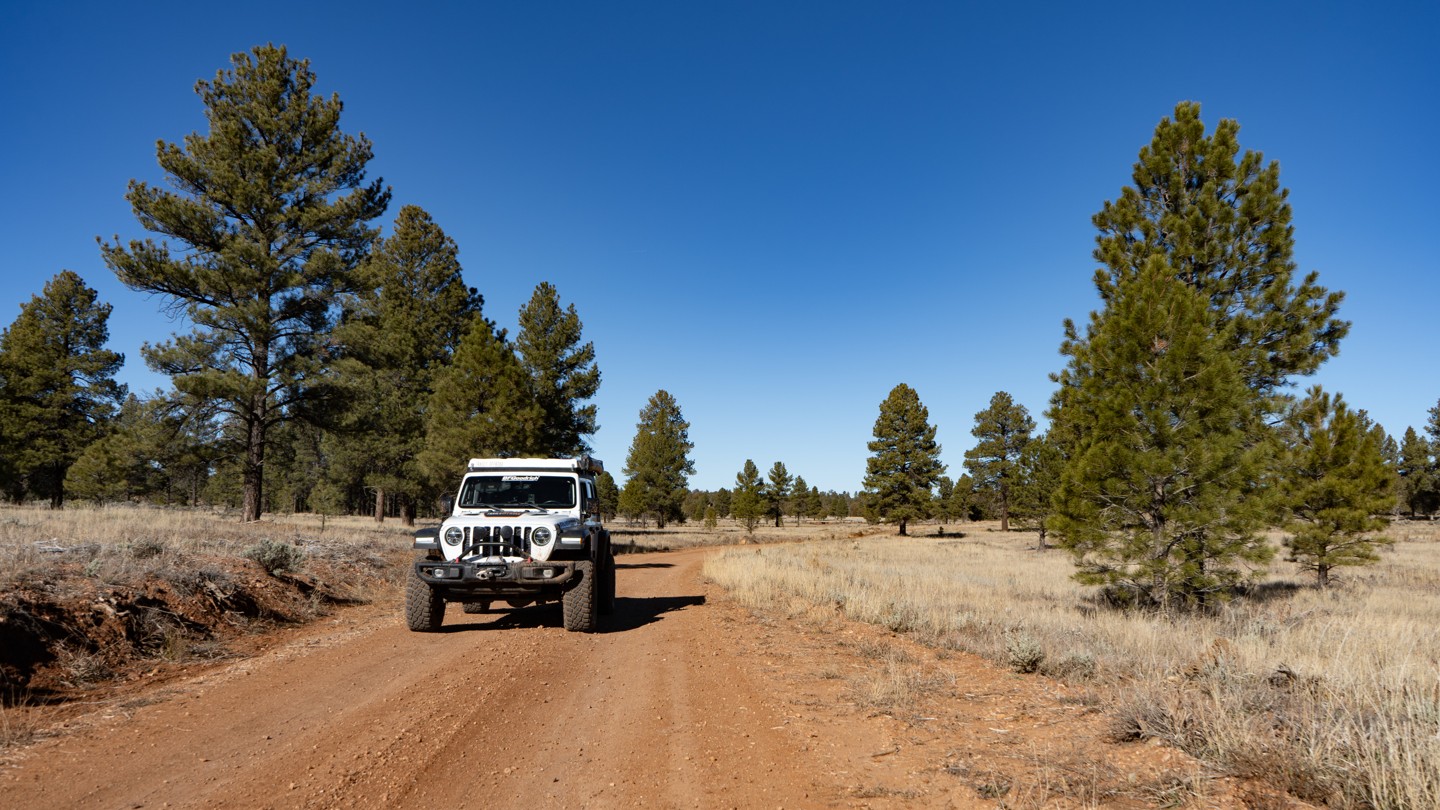

Mohave County Road 103 connects the Mount Trumbull Loop’s Main Street section to Grand Canyon National Park’s Kelly Point Road (NPS 1203). From Main Street, the road transitions from a well-graded surface to a lesser-maintained BLM road. It soon enters the Grand Canyon–Parashant National Monument, where the surface becomes increasingly rocky and uneven. From this point onward, expect a mix of rough dirt, muddy ruts, and stretches of bumpy rock. Depending on the most recent maintenance, you may need to straddle ruts or navigate shallow mud holes, especially in the final miles. Overall, the terrain remains suitable for any high-clearance vehicle and is considered non-technical. However, the road surface is soft in places, and wet weather can quickly turn sections into mushy mud that can trap vehicles. Free-range cattle are also common along the route.
Much of the drive winds through stands of pinyon trees, which obscure many of the long-distance views. Still, you’ll encounter several openings that offer impressive vistas. Near the end, as elevation increases, the landscape transitions into ponderosa pine forest before meeting Kelly Point Road at the boundary of Grand Canyon National Park.
While the surrounding terrain generally supports dispersed camping, there are surprisingly few established sites along this 43-mile stretch. A couple of good spots can be found near Main Street, with several more located in the ponderosa pines during the final third of the route. A vault toilet is available at the midpoint.
For hikers, this route offers more than just access to the National Park boundary. It also leads to the Mt. Dellebaugh Trail, a 6-mile round-trip hike with 883 feet of elevation gain. At the trailhead, an interpretive sign shares the story of several men who had reached their limit during the first expedition into the Grand Canyon. The story reads like this:
---------
Abandoning the 1869 Powell Expedition
Three terrified men, overwhelmed by their journey into the Grand Canyon, finally had enough of white-water rapids and near-death experiences. Seneca Howland, O.G. Howland, and William Dunn were members of John Wesley Powell's first Grand Canyon expedition. Powell and his team were exploring and mapping the west on behalf of the U.S. government.
As Powell led the group into the mysterious depths of the canyon, everyone's fears grew. Some muttered about wanting to leave the expedition. As steep as it was, Dunn and the Howlands talked of climbing out of the Grand Canyon.
Powell implored the trio to stay but after one too many scares their minds were made up. They walked away from the small wooden boats and into history.
It must have been a grueling climb, but the three were able to hike up through what is known today as Separation Canyon. That is an astonishing 5,000 feet of elevation gain. After they reached the canyon rim, they needed to get their bearings. The men likely climbed Mt. Dellenbaugh to get above the trees so they could figure out what direction to travel. Then they disappeared. Ominous rumors spread that they had been killed.
Powell successfully completed his expedition. Later he returned to the area to find out what happened to the men. Controversial stories point fingers at a few suspects, but the truth will likely never be known. In the end, Dunn and the Howlands were simply in the wrong place at the wrong time. Their bodies were never found.
When the men abandoned Powell's expedition, they had already traveled over 250 miles through the Grand Canyon. Even Powell couldn't have known, but the group was only 25 miles from the end of the canyon. Had the Howlands and Dunn stayed with Powell and endured a few more terrifying days on the river, they would have likely survived the journey.
---------
Interestingly enough, Mount Dellenbaugh is named after Frederick S. Dellenbaugh, who was an artist, topographer, and explorer who joined John Wesley Powell’s second Colorado River expedition in 1871–73. The interesting part is that the Dellenbaugh Tunnel in Moab is also named after him.