Region

The Uinta Mountains

Utah

Offroad Trails in The Uinta Mountains

A Region within Utah
3.9/5 (140)

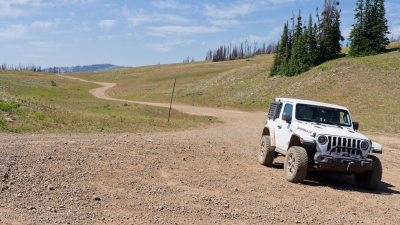
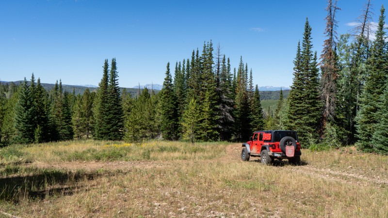
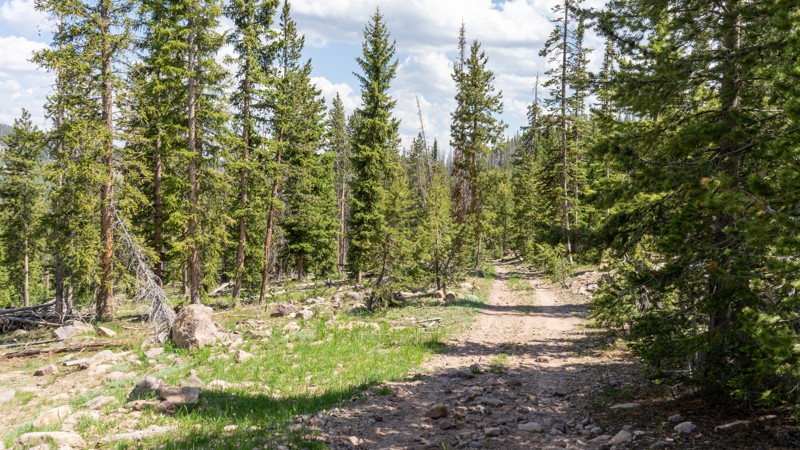
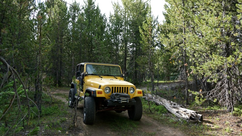
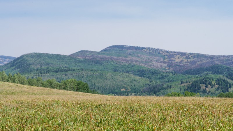
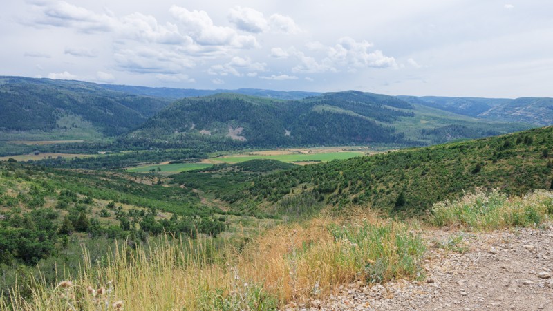
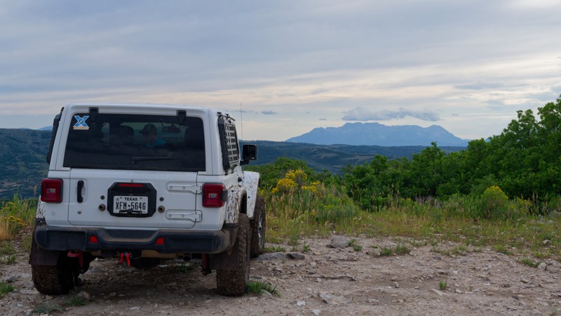
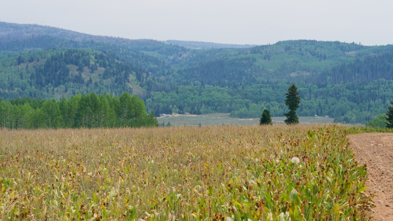
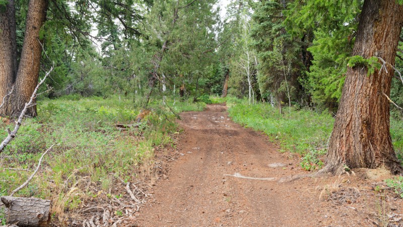
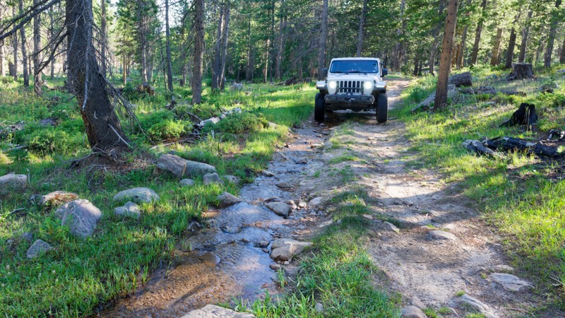
Tucked up in the Northeast corner of Utah is a mountain range that reaches breathtaking heights. The Uinta Mountains aren’t just a picturesque snow-covered range that can be viewed from afar. This mountain range is scattered with offroad trails, making it accessible to all.

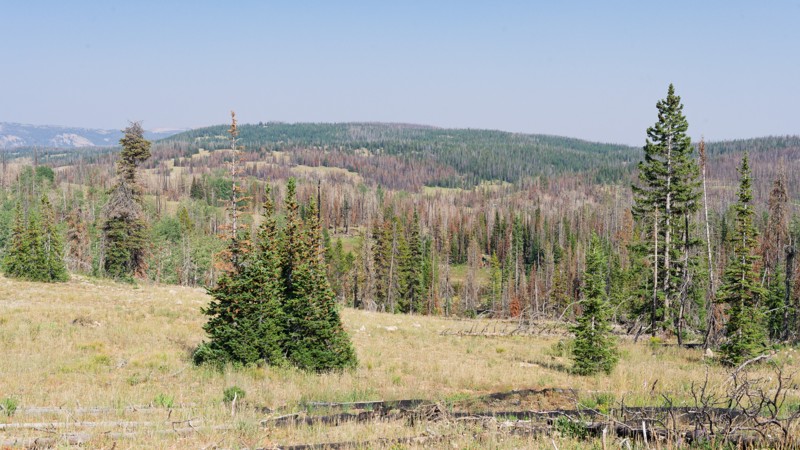
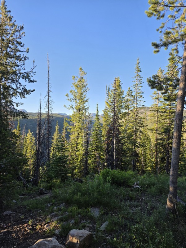
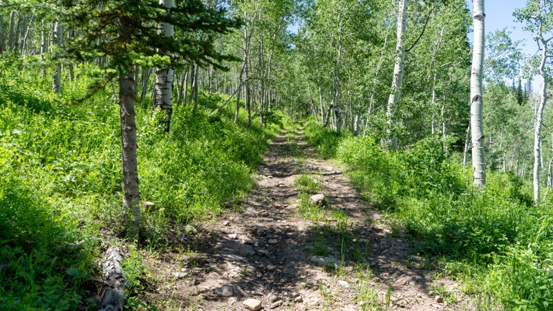
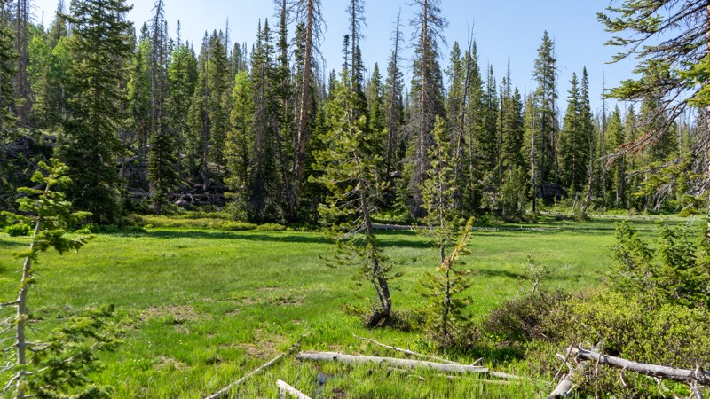
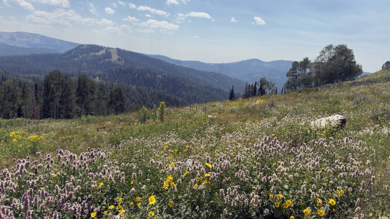
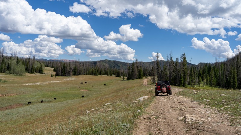
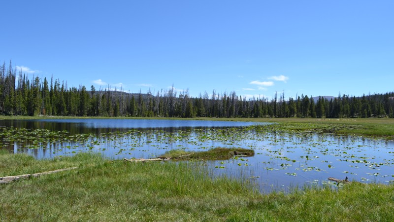
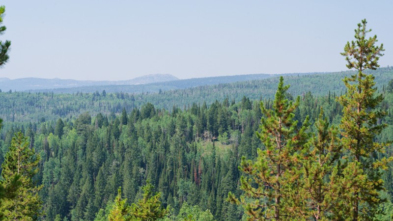
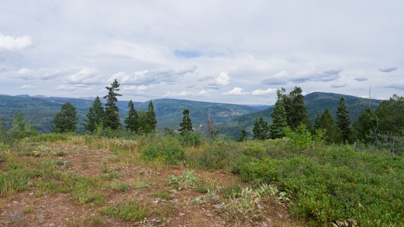
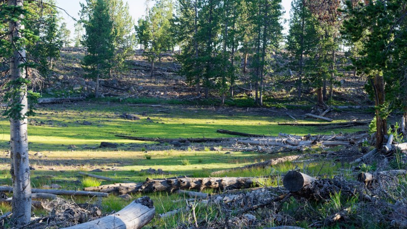
The region is home to peaks ranging from 11,000 feet all the way up to 13,500 feet above sea level, making it the highest mountain range in all of Utah. The Uinta Mountains are lush with alpine forests including pine, spruce, cottonwood and maple trees. The forests are contrasted by beautiful fields of mountain flowers such as lupine, poppy and primrose. Feeding all the plant life are boundless lakes and streams waiting to be fished or kayaked.

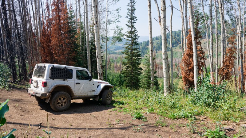
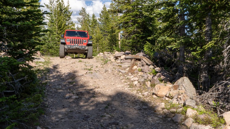
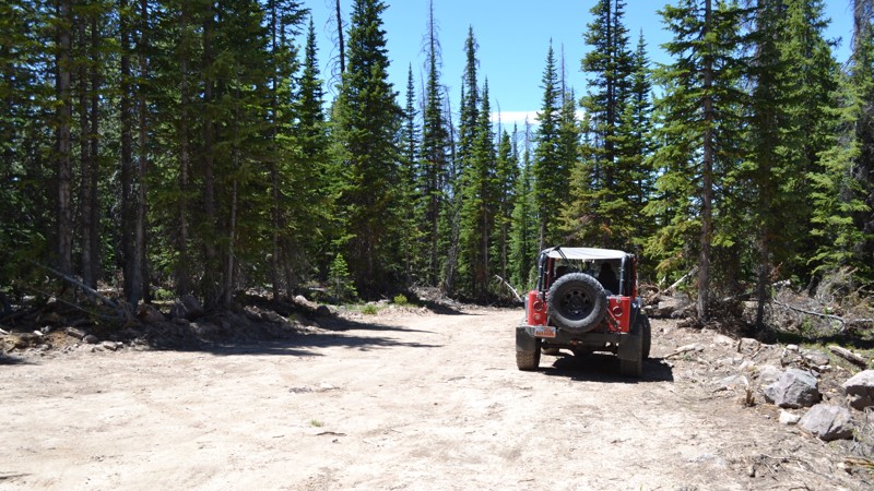
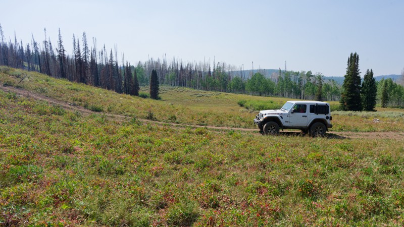
Nature this pristine sounds too good to be true. But with a vast offroad trail system consisting of easy to moderate trails, the Uinta Mountains are accessible to almost any high-clearance 4wd vehicle. The trail system can make for a great weekend getaway or can be strung together to create a full week of adventure and exploration.

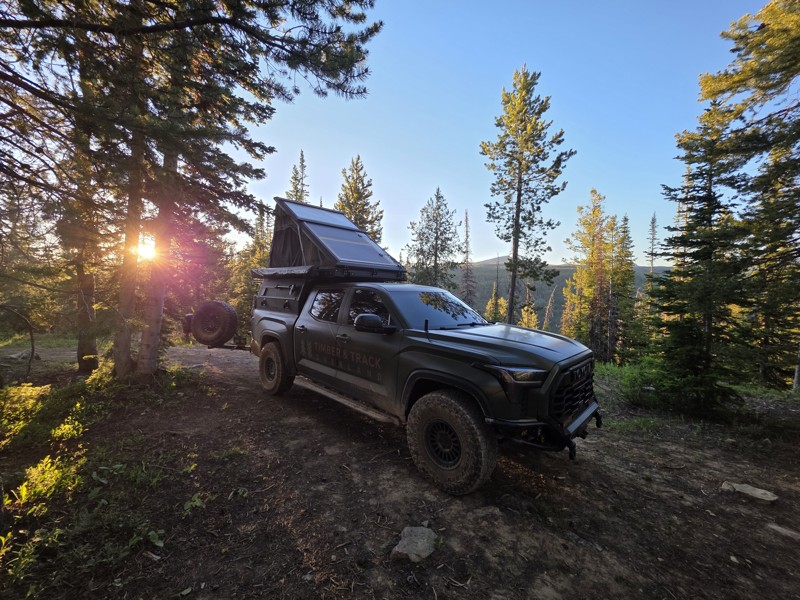
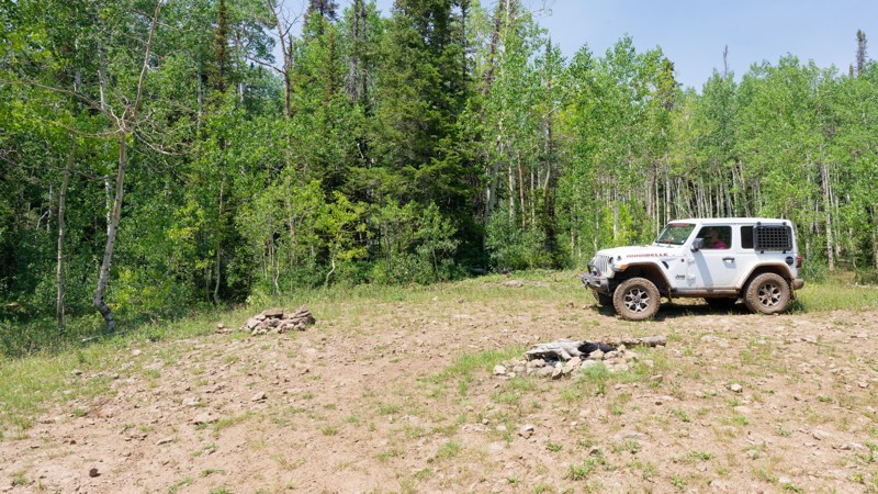
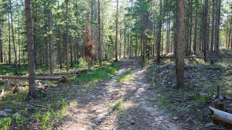
The Uinta Mountains are known for their incredible dispersed camping options. Find your own epic campsite in the middle of a dense pine forest, next to a flowing creek, or overlooking a serene alpine lake. For those who prefer a few amenities to make their off-the-grid weekend more comfortable, there are also improved campgrounds. These typically have room for trailers and include potable water, fire rings, picnic tables, and bathrooms.

Top Reasons to Explore Here

Basemap Styles

Content Type
Guide Types
Scout Route
Full Trail Guide

Difficulty Rating
easy
moderate
difficult
severe
extreme

Waypoints
Camping
Staging Area
Bathroom
Obstacle
Point of Interest
Directional

Most Recent Trail Reviews

Most Popular

Search for Trails
Utah: Lambert Hollow Hero Photo
Scout Route Icon
3.5/5 (3 reviews)
Updated: 08/03/2026

Lambert Hollow

Woodland, Utah

Leaving from Soapstone Basin within a group of campsites, Lambert Hollow is a bumpy, unmaintained forest service road with an abrupt ending. Although the majority of this trail is easy, there are a few patches where water runoff has caused rocks to become exposed and ruts to form. 4 low is beneficial, especially when the rocks are slick from recent rain. This trail once continued up Iron Mine Mountain but is now closed to motorized use before reaching the peak. Most of the good large campsites are right at the trailhead, but a few smaller and more private sites are scattered along the way. All of the camping options are dispersed, with no amenities offered.

Utah: Hoyt S2 Hero Photo
Scout Route Icon
2/5 (5 reviews)
Updated: 09/06/2026

Hoyt S2

Marion, Utah

A side trail off of Hoyt Canyon, Hoyt S2 is a narrow rocky trail that climbs its way to a ridgeline. As you weave your way through the aspens, the underbrush encroaches as this trail is very lightly used. If pinstriping is not your thing, there may be better options for you. Airing down is recommended due to its rocky nature. Passing storms continue to wash away what dirt remains.

Utah: Castle Peak Hero Photo
Scout Route Icon
3/5 (2 reviews)
Updated: 10/15/2024

Castle Peak

Samak, Utah

An easy spur off of Upper Setting, Castle Peak jogs through the trees over rough dirt and scattered rocks and brings you to a clearing in the trees with a marshy meadow. Although the trail is nothing special, the campsite at the end is peaceful and isolated, so campers have the opportunity to escape the city crowds that huddle close to the Mirror Lake Highway. Due to the wetlands at the end, bug spray is highly advised!

Utah: Red Pine Road Hero Photo
Scout Route Icon
5/5 (3 reviews)
Updated: 08/11/2026

Red Pine Road

Marion, Utah

Red Pine Road is an out-and-back route that climbs from the popular Smith and Morehouse Reservoir into the highlands, reaching nearly 10,000 feet in elevation. The lower section winds through a dense aspen forest with steep Red Pine Canyon to the west, before opening into a sweeping meadow with panoramic views. From there, the road climbs a steep hill into the upper forest.

The trail is mostly dirt and rock with one notable obstacle: a steep, eroded ascent into the meadow. The upper section is narrow, and overhanging brush will likely leave pinstriping. Dispersed campsites are scattered along the route, though the higher elevations bring chilly nights.

At its upper reaches, Red Pine Road overlooks South Fork Canyon more than 2,000 feet below, with views stretching toward Rowe Mine. The reservoir itself is named after George Smith and Henry Morehouse, 19th-century tie hackers who cut and squared massive trees for the Union Pacific Railroad, floating them down the Weber River to Echo Canyon.

Seasonal closure is in effect during May and early June due to spring snowmelt runoff.

Utah: Francis Road Hero Photo
Scout Route Icon
4/5 (2 reviews)
Updated: 10/15/2024

Francis Road

Samak, Utah

Tucked away near the top of Upper Setting is Francis Road. This unmaintained, bumpy trail leads you to great camping further away from the more popular areas, giving you the feel of being "out there." The rocky surface promotes airing down to aid in the comfort during your journey. This trail can get rather tight during the spring due to its lack of popularity, so be sure to bring a saw to cut back the offending overhang.

Utah: Draw Hero Photo
All-Access Icon
2/5 (8 reviews)
Updated: 07/01/2024

Draw

Kamas, Utah
Draw is a quick and easy spur off of Spring Canyon/Trial Lake. Though it is only a short half a mile in length, this less popular track has a few secluded camping options nestled into the trees for an intimate night of camping under the stars. Tucked away in the lush greenery, following alongside the trail is a narrow creek, adding to the perfectly serene setting. You could also mark this location as a peaceful picnic area, while you are in between trails or adventuring to one of the many lakes nearby.
Utah: Castle Peak A Hero Photo
Scout Route Icon
3/5 (2 reviews)
Updated: 10/15/2024

Castle Peak A

Samak, Utah

This short bumpy spur leads you toward the Castle Peak yurt (available to rent for a fee). If camping is more your thing, there is a good site with plenty of room to stretch out. Loose rocks and a slight incline warrant the moderate rating, although most any high clearance vehicle can work their way carefully through without too much issue.

Utah: Mill Fork Hero Photo
Scout Route Icon
3/5 (2 reviews)
Updated: 10/15/2024

Mill Fork

Hanna, Utah

Running between Silver Meadows and Rhodes Canyon is a very seldom-used trail called Mill Fork. Although not intensely difficult, this trail will likely add a little spice to the otherwise "easy" forest service road. Due to the lack of maintenance and use, Mill Fork has severe ruts and washouts that must be maneuvered and straddled. Stock 4WD vehicles will not struggle under average conditions, but a little experience can be helpful. The difficulty will only increase if this trail is wet, as these ruts are large enough to swallow a tire. A few rocky patches will also slow drivers down, where embedded and loose rocks reach 6-8" tall. Please remember to stick to the trail and not drive around the rutted section! If you cannot drive over the washouts, just turn around.

Camping was limited to the few spots on the trail's western end, right where it branches off from Silver Meadows. These are smaller dispersed sites with nothing more than a man-made fire ring.

Utah: Iron Mine Camp Spur Hero Photo
Scout Route Icon
3/5 (2 reviews)
Updated: 10/15/2024

Iron Mine Camp Spur

Woodland, Utah

Iron Mine Camp Spur gives you a great place to base camp while also providing a small pond to toss in the line and relax. This trail is not technical at all, but ruts are beginning to develop, causing a bumpy ride. You will likely have a little seclusion compared to other trails nearby as well. Dispersed camping is available at the end of the trail. There is not much level ground, but it would be good for vehicles with rooftop tents. 3-4 vehicles would fit comfortably.

Utah: Hoyt Snow Survey Hero Photo
Scout Route Icon
3/5 (6 reviews)
Updated: 09/06/2026

Hoyt Snow Survey

Marion, Utah

Although nothing extraordinary, Hoyt Snow Survey spur is a neat side shoot off of Hoyt Canyon. The trail is tight, bumpy, and has a fair amount of moisture compared to surrounding trails. Whether you are looking to adventure every trail possible or just extend your time away from the city, this short spur will be a welcome addition.

Utah: Iron Mine Dispersed Hero Photo
Scout Route Icon
3/5 (10 reviews)
Updated: 08/11/2026

Iron Mine Dispersed

Woodland, Utah

Iron Mine Dispersed Camping #1 is a dedicated camp spur off of its big brother Iron Mine Lake trail. This trail is well-maintained and very popular with all users in the summer months. Any high clearance vehicle can travel this short spur. The camping offered at the end of the trail has no amenities, but it is a great setting among the trees. You will need to pack your gear a short distance from the end of the trail to your campsite.

Utah: Nobletts Ridge Hero Photo
Scout Route Icon
5/5 (1 reviews)
Updated: 08/11/2026

Nobletts Ridge

Woodland, Utah

Nobletts Ridge is a short trail climbing a wooded ridge shoulder above Long Hollow just off the Wolf Creek Highway (SR-35) corridor. The route winds through mixed conifer and a dense aspen grove, with occasional breaks in the canopy offering views back toward the hollow. Most travelers use it as a scenic out-and-back detour rather than a through-connector, drawn by the aspen tunnel about a mile in that is especially striking in early fall.

The road stays one vehicle wide through much of the aspen grove, so drivers should watch for oncoming traffic. Suitable camping can be found along the trail.

Utah: Cedar Hollow Hero Photo
Scout Route Icon
4/5 (1 reviews)
Updated: 08/11/2026

Cedar Hollow

Woodland, Utah

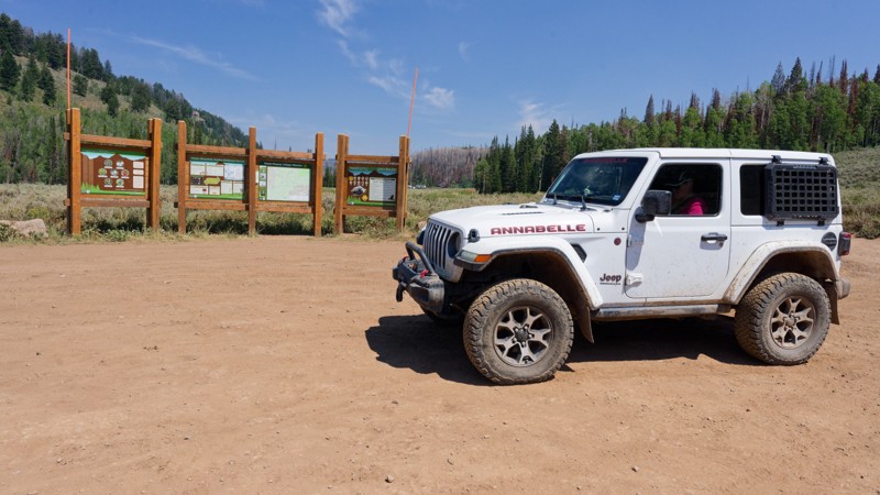
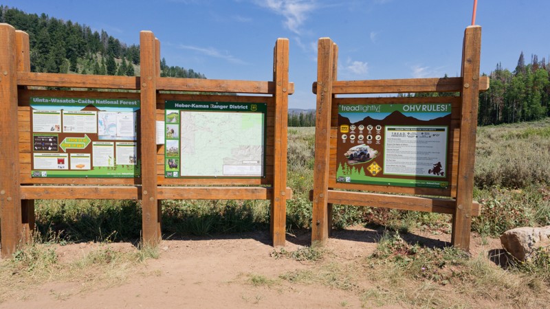
The trail climbs out of a pine and aspen forest in the Wasatch National Forest. Over 3.5 miles, it gains about 1,230 feet, running as a narrow shelf road through the trees before opening into a high, small meadow. Along the way, it passes a junction with an information board and pit toilets where the Aspen Pass ATV trail ties in, and it ends at a three-way junction that offers several routes to continue exploring, making Cedar Hollow useful both as a scenic out-and-back and as a connector into a larger network of trails.

The road is manageable for a stock high clearance vehicle; four-wheel drive isn't strictly necessary in dry conditions, but it helps on the loose rock and erosion found in the upper half. Two steep switchbacks hold good traction, and drivers should watch for embedded rock ledges and tight tree cover that can scratch wider vehicles. Camping is available at several dry, pine-shaded sites along the lower half of the trail, including one large enough for two or three big rigs; no developed facilities are available beyond the pit toilets at the upper junction.
Utah: Long Hollow Campsite Road Hero Photo
Scout Route Icon
5/5 (1 reviews)
Updated: 08/11/2026

Long Hollow Campsite Road

Woodland, Utah

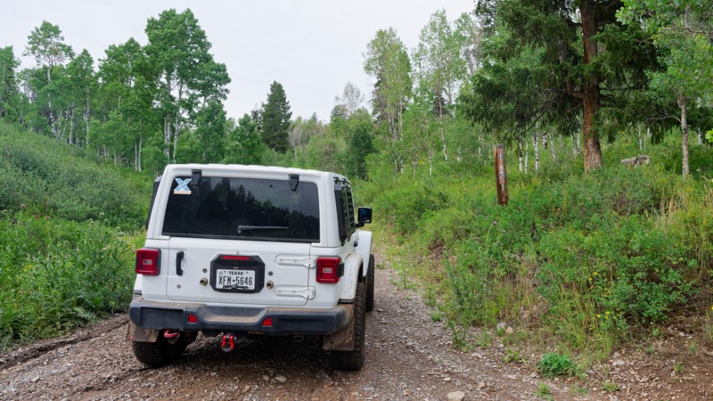
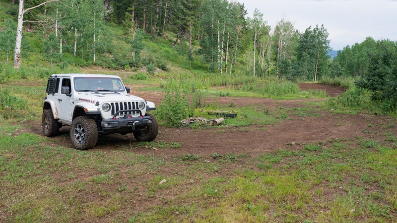
Long Hollow Campsite Road is a short, easy access spur to Long Hollow Campsite. The dirt surface has minimal ruts or washboard, grades are gentle and consistent, and there are no obstacles requiring special technique, making it a good choice for drivers building confidence with high-clearance vehicles.

Long Hollow Campsite offers dispersed camping at the end of the trail, providing a quiet base for exploring nearby trails, hiking, and ridge routes.

Utah: Upper Cedar Hollow Hero Photo
Scout Route Icon
5/5 (1 reviews)
Updated: 08/11/2026

Upper Cedar Hollow

Woodland, Utah

Upper Cedar Hollow OHV climbs into the Uinta Mountains east of Kamas, Utah, following Forest Service route 80178 through dense pine and aspen forest. The out-and-back trail runs 5.6 miles one way, reaching a high point of roughly 8,720 feet before rolling down into Cedar Hollow, where it dead-ends at a posted private property boundary that serves as the natural turnaround point. Along the way, drivers pass a wide viewpoint overlooking the surrounding ridgelines near the west end, making the trail a worthwhile out-and-back run for those looking to reach a scenic overlook or simply spend a few hours exploring.

The route is best suited to a stock high-clearance 4x4 with off-road tires. Terrain alternates between hard-packed dirt, embedded rock shelves, and loose rock, with a short rocky climb about ten minutes in that catches less attentive drivers off guard; a bypass is available for those who prefer to skip it. Much of the trail narrows to one vehicle wide with pull-outs for passing, and low spots can hold mud or standing water for days after a storm, so the trail is best avoided immediately following wet weather. Several dry camp spots, including one large enough for multiple rigs, are scattered along the first two miles, giving visitors an easy option to turn the drive into an overnight trip.

Utah: Lambert Burn Hero Photo
Scout Route Icon
4/5 (1 reviews)
Updated: 09/10/2026

Lambert Burn

Woodland, Utah

Lambert Burn Road branches off Soapstone Basin Road. The route climbs gradually through open camping flats and aspen groves before dead-ending at a fence line marking the edge of motorized travel. It's a short out-and-back, well-suited to pairing with other trails off Soapstone Basin Road for an afternoon of exploring campsites and testing a rig on a few mild obstacles. High-clearance 2WD is typically sufficient for dirt and rocky surfaces, small dips and ruts, and short, steep grades. The most demanding section comes about a third of a mile in, where the road narrows, and tire placement matters more than anywhere else on the route. Beyond that, the drive settles into an easy cruise through aspen and pine to the fence line, where a clearly posted sign marks the end of motorized travel and a good spot to turn around.

Three dispersed campsites sit along the route, spaced out among the trees and camping flats. The largest is a group site that can comfortably hold a larger gathering of rigs, while the other two are smaller. None of the sites offer meaningful shade or privacy, sitting out in open, sunny flats rather than tucked into the trees.

Utah: Long Hollow Hero Photo
Scout Route Icon
4/5 (1 reviews)
Updated: 08/11/2026

Long Hollow

Woodland, Utah

Long Hollow is a scenic mountain forest road accessed from Soapstone Creek Road northeast of Kamas, Utah, in the Uinta-Wasatch-Cache National Forest. The trail climbs steadily through dense aspen and evergreen forest corridors with excellent visibility and wildflower displays during the summer months. A small pond near the midpoint provides a scenic break point, and views of the Uinta Mountains expand as elevation increases. This is ideal for those wanting to explore high-elevation forest habitat and wildlife viewing opportunities without significant technical challenge.

Long Hollow is well-suited for high-clearance 2WD vehicles with stock equipment, though ground clearance is more critical than four-wheel drive capability. The route features a well-defined rocky dirt surface with minimal obstacles, primarily small rocks and ruts under nine inches, and consistently moderate grades throughout. Suitable camping exists along the trail's upper section. The road is navigable during the dry season and early fall months; winter conditions or rain may test traction on rocky sections. This route is particularly suited for introducing drivers to high-elevation off-road travel and observing seasonal forest changes without extreme technical demands.

Utah: South Draw Soapstone Hero Photo
Scout Route Icon
4/5 (1 reviews)
Updated: 08/13/2026

South Draw Soapstone

Woodland, Utah

At just 0.3 miles, it packs a rocky, technical climb into its first few hundred feet, opens into a burn-scarred meadow, and finishes with a loose, off-camber section before ending. Drivers exploring the Soapstone Basin roads may want to add it as a quick technical detour rather than a standalone destination.

The opening climb is rocky and uneven, with ledges and short, steep grades under a foot tall that require careful tire placement. Low range isn't required, but it helps through that section. Past the climb, the trail mellows into a rutted dirt track with loose rock through the meadow, before narrowing again for the off-camber finish, which is worth slowing down for when wet. Suitable camping is not present on the trail.

Please note that the official motor vehicle use map contains an error: the road does not follow the route depicted by the agency; instead, the route shown here is the signed route.

Utah: Cedar Hollow OHV Hero Photo
Scout Route Icon
4/5 (1 reviews)
Updated: 08/11/2026

Cedar Hollow OHV

Woodland, Utah

Cedar Hollow OHV Trail (FS 80203) is a short shelf road climbing through pine and aspen forest in the Wasatch National Forest near Woodland, Utah. Over roughly one mile, it stays narrow from the first turn, opening at intervals to views across the valley and surrounding ridgelines before ending at a tight, off-camber turnaround loop set among tall grass and timber. The route works well as a short, scenic out-and-back that ties into the broader Mill Hollow and Soapstone Basin trail network, making it a good add-on for drivers already exploring that area rather than a standalone destination.

Rated Easy, the trail is manageable for a stock high-clearance 2WD, though a rocky, uneven stretch about a third of the way in calls for careful tire placement, and a 4x4 with some articulation will move through it more comfortably. Because the road goes unmaintained after rain or snow, drivers may encounter shallow washouts and small ledges up to about 12 inches. The final section narrows enough that most vehicles will pick up pinstripes from roadside brush, and the small turnaround at the end deserves a slow, deliberate approach, especially for longer-wheelbase vehicles; trailers aren't recommended. There are no camping areas along this short spur.

Utah: Alexander Loop & Spur Hero Photo
Scout Route Icon
3.5/5 (8 reviews)
Updated: 08/26/2026

Alexander Loop & Spur

Woodland, Utah

Alexander Loop & Spur is a short two-track. The rocky ascent at the north end is the section that earns the rating, with embedded rock, ruts, and loose surface material holding obstacles under 12 inches, so deliberate tire placement helps on the steeper pitches. Through the timber the road narrows to one vehicle wide with occasional places to pass, and the packed dirt turns slick and holds water after rain. The road is not maintained for wet-weather travel. Full-size rigs fit, though the tree corridor is tight in spots.

Camping is dispersed. One pine-sheltered site sits about midway along the route, with room for two to three rigs and space for a fourth in a pinch. The surrounding lodgepole gives shade and some separation from the main road, so it holds up well for anyone wanting privacy. It is the only pre-established spot on the route; the rest of the corridor is either the rocky hillside or a tight tree tunnel with little room to camp.

Utah: Cedar Hollow West 1 Hero Photo
Scout Route Icon
4/5 (1 reviews)
Updated: 08/11/2026

Cedar Hollow West 1

Woodland, Utah

Cedar Hollow West 1 (FS 80199) is a short shelf road in the Wasatch National Forest. Over 1.7 miles it climbs through pine forest along a narrow hillside shelf road, passing embedded rock ledges, loose stone, and a few brush-crowded, occasionally muddy sections before ending at a quiet junction where a hiking trailhead begins and an ATV-only connector continues on (not suited for full-size vehicles). Openings in the trees offer views down into the surrounding drainage, and the trail functions primarily as a short, scenic out-and-back rather than a through route, making it a good option for a quick side trip or a connector to the adjoining hiking trailhead.

Rated easy, the trail is typically manageable in a stock high-clearance 2WD vehicle, though the tightest section of shelf road rewards careful tire placement and benefits from four-wheel drive when the muddy spots are present. No designated campsites are noted along the route, making it better suited to a day trip than an overnight stay, and no special permits are called out beyond standard national forest regulations.

Utah: Spring Canyon 2 Hero Photo
Scout Route Icon
3.5/5 (9 reviews)
Updated: 08/26/2026

Spring Canyon 2

Woodland, Utah

Spring Canyon 2 is a short segment on the south side of the Mirror Lake corridor. The route runs through pine and aspen forest. The tread alternates between packed dirt, grassy margins, and stretches of embedded cobble, with a section that firms up into a rock garden covering the full trail width. It connects into the broader Spring Canyon network, which is known for its backcountry lakes and quiet camping, making this stretch a useful link for those exploring further into the Soapstone Basin area.

Suitable camping is not present on this segment of trail. Those looking to camp should plan on finding a site elsewhere in the Spring Canyon or Soapstone Basin area.

Utah: Spring Canyon 1 Hero Photo
Scout Route Icon
3/5 (9 reviews)
Updated: 08/26/2026

Spring Canyon 1

Woodland, Utah

Spring Canyon 1 branches off Spring Canyon Road in the high country above Trial Lake. It runs through dense lodgepole pine and spruce before opening onto a meadow with a small pond (when in season) at the end. Drivers use this route mainly for the meadow and pond.

The surface alternates between rutted dirt and exposed rock, with ledges and washed-out sections generally under a foot tall. The route is narrow, mostly one-vehicle-wide, with tight turns between trees that require careful line choice and some maneuvering in longer-wheelbase rigs. It's a slow, deliberate drive rather than a technical one, and a stock suspension will feel the rocks and ruts.

Dispersed camping is available along the trail, with two to three sites. The largest is a group-sized site that can comfortably hold several rigs. The forest canopy along the route provides good shade at the campsites, though the lack of tight tree spacing limits privacy.