


By clicking "ACCEPT", you agree to be the terms and conditions of each policy linked to above. You also agree to the storing of cookies on your device to facilitate the operation and functionality of our site, enhance and customize your user experience, and to analyze how our site is used.
Michigan Off-Road Trails
25
Total Trail Guides 14

251
Detailed Waypoints 104
Try a Free 7-Day Trial and unlock it all
Start a Free Trial Most Recent Trail Reviews
Rated 4/5
Open
Visited: 08/26/2026
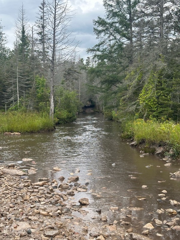
As others have stated, the star is the long water crossing which was a blast. Everything past waypoint 6 is a graded dirt road due to logging, so pretty easy. Took about 15 minutes to run through this...


Daniel Adler
Rated 3/5
Open
Visited: 08/26/2026
Ran this solo this morning in a light sprinkle and other than the MU Nemesis obstacle, there wasn’t much to be challenged. Mix of rocky sections and usual forest trails. Took about 20 minutes to get t...
Daniel Adler
Rated 4/5
Open
Visited: 08/25/2026
Pretty spot on rating. Lift and bigger tires help, but not necessary.

Matt Berg
No Rating
Open
Visited: 08/11/2026
Per the MVUM, the trail is seasonally open. As always, check current fire restrictions/closures before venturing out.

Trails Offroad
No Rating
Open
Visited: 08/11/2026
Per the MVUM, the trail is seasonally open. As always, check current fire restrictions/closures before venturing out.
Trails Offroad
No Rating
Open
Visited: 08/11/2026
Per the MVUM, the trail is seasonally open. As always, check current fire restrictions/closures before venturing out.
Trails Offroad
No Rating
Open
Visited: 08/11/2026
Per the MVUM, the trail is seasonally open. As always, check current fire restrictions/closures before venturing out.
Trails Offroad
No Rating
Open
Visited: 08/11/2026
Per the MVUM, the trail is seasonally open. As always, check current fire restrictions/closures before venturing out.
Trails Offroad
No Rating
Open
Visited: 08/11/2026
Per the MVUM, the trail is seasonally open. As always, check current fire restrictions/closures before venturing out.
Trails Offroad
No Rating
Open
Visited: 08/11/2026
Per the MVUM, the trail is seasonally open. As always, check current fire restrictions/closures before venturing out.
Trails Offroad
No Rating
Open
Visited: 08/11/2026
Per the MVUM, the trail is seasonally open. As always, check current fire restrictions/closures before venturing out.
Trails Offroad
No Rating
Open
Visited: 08/11/2026
Per the MVUM, the trail is seasonally open. As always, check current fire restrictions/closures before venturing out.
Trails Offroad
No Rating
Open
Visited: 08/11/2026
Per the MVUM, the trail is seasonally open. As always, check current fire restrictions/closures before venturing out.
Trails Offroad
No Rating
Open
Visited: 08/11/2026
Per the MVUM, the trail is seasonally open. As always, check current fire restrictions/closures before venturing out.
Trails Offroad
No Rating
Open
Visited: 07/29/2026
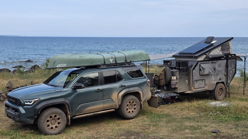
The trail seems to be doable for any type of vehicle, weather dependent. We saw a Ford Fiesta and many regular Subarus out there.
The last few miles after the turn are a moon scape with 30+ vehicle s...


This Tedious Path
Rated 4/5
Open
Visited: 07/22/2026
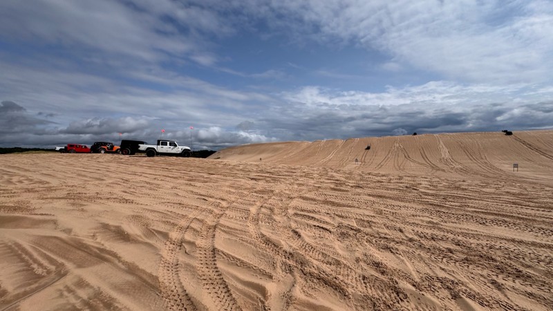
Silver lake is always fun and with enough people around always a little nerve wracking. I give EVERYONE lots of room because you never know who is paying attention to their surroundings. With that in ...


Colin Cole
Official Crew
No Rating
Open
Visited: 06/26/2026
According to Agency date data, this trail should be open for the season.
Trails Offroad
No Rating
Open
Visited: 06/26/2026
According to MVUM data, this trail should be open for the season.
Trails Offroad
No Rating
Open
Visited: 06/26/2026
According to MVUM data, this trail should be open for the season.
Trails Offroad
Rated 4/5
Open
Visited: 06/19/2026
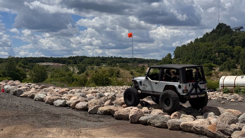
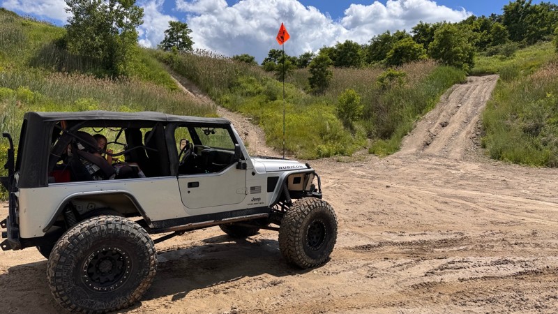
Every time I visit Holly Oaks it is a little bit better! The main loop itself is still easy to navigate so long as you have 4wd but there are steep climbs and descent to explore, narrow paths through ...
Colin Cole
Official Crew
Rated 5/5
Open
Visited: 05/24/2026
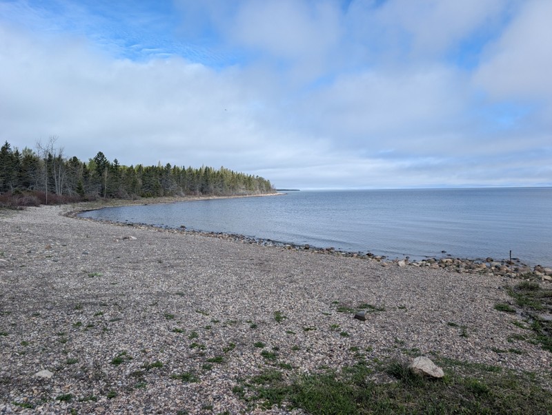
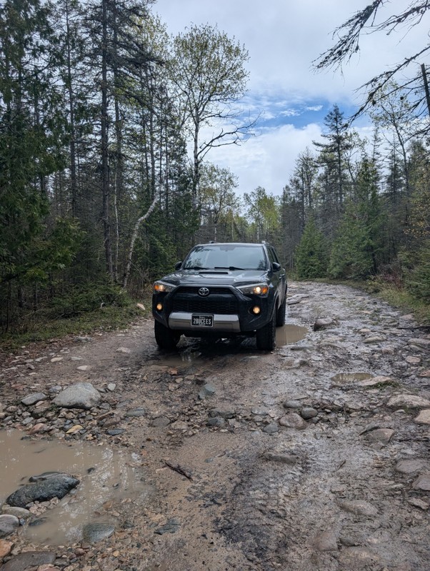
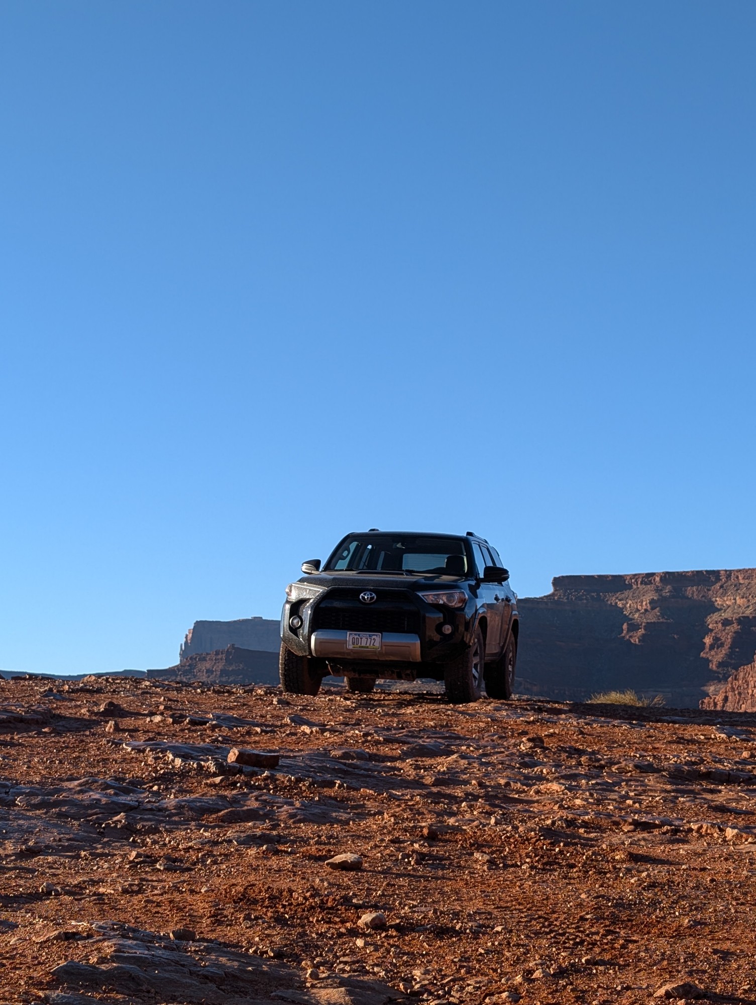
This was a fun trail and really scenic. Would highly recommend. Only one portion of the steps have been "altered" but you still have a rock field to navigate after. I still wouldn't rate as an easy tr...
Blake Ealy
Rated 3/5
Open
Visited: 05/24/2026
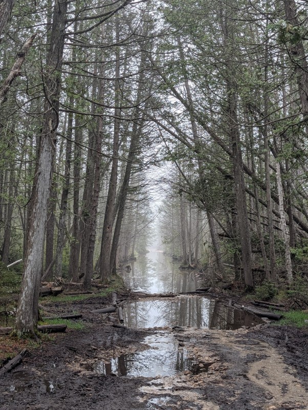
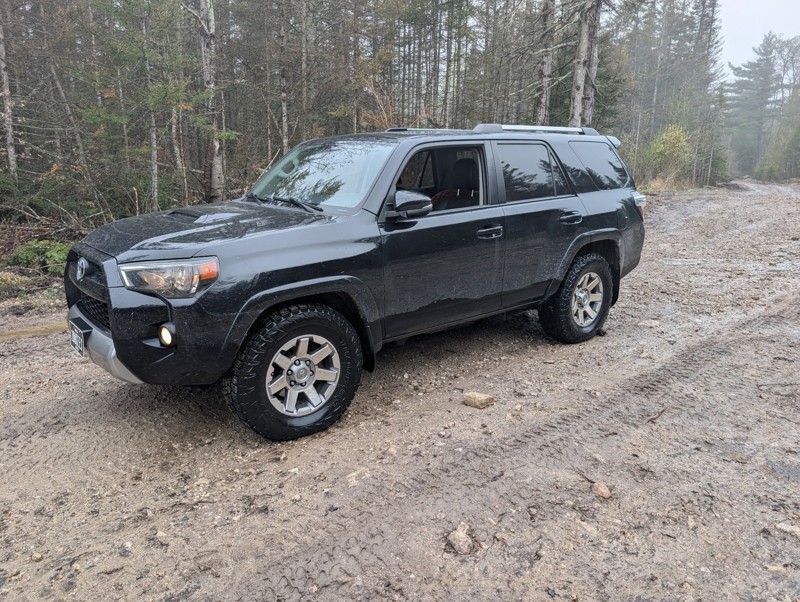
Ran trail from north to south. First couple hundred yards has some rocks. They are logging next to the rest of the trail so the road has been graded. After much deliberation in my head, I did the wate...
Blake Ealy
No Rating
Open
Visited: 05/24/2026
Completed early in the morning and I was the only person on the trail. I took the easiest route (far right) for Nemesis obstacle. Wavepoint 10 was the hardest part for me. Not sure if I could of found...
Blake Ealy
Rated 5/5
Open
Visited: 05/23/2026
Easy trail with a very cool lighthouse at the end. It was open and had access to climb up to the top which was a nice surprise.
Blake Ealy
No Rating
Seasonal Closure
Visited: 03/14/2026
According to this trails management agency, the trail is likely closed for the season.
You can reach out to the agency for more details.
Be sure to leave us a report and let us know ...
Trails Offroad
Rated 4/5
Open
Visited: 01/31/2026
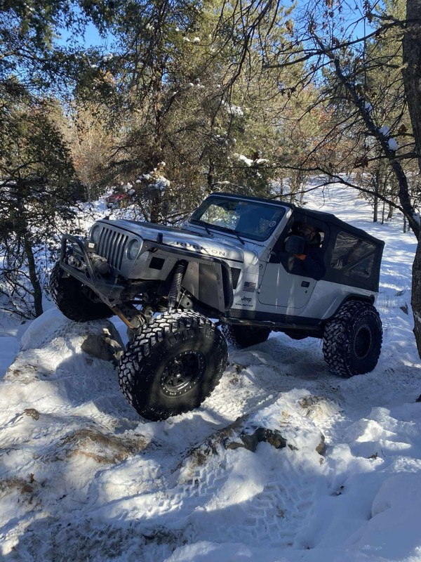
I ran parts of this trail with a group during the Great Lakes Four Wheel Drive Association's Winter Blast event. The trail itself is pretty rough with whoops and alternating chop but airing down and ...

Colin Cole
Official Crew
No Rating
Seasonal Closure
Visited: 11/30/2025
According to this trails management agency, the trail is likely closed for the season.
You can reach out to the agency for more details.
Be sure to leave us a report and let us know ...
Trails Offroad
No Rating
Seasonal Closure
Visited: 11/30/2025
According to this trails management agency, the trail is likely closed for the season.
You can reach out to the agency for more details.
Be sure to leave us a report and let us know ...
Trails Offroad
No Rating
Seasonal Closure
Visited: 11/30/2025
According to this trails management agency, the trail is likely closed for the season.
You can reach out to the agency for more details.
Be sure to leave us a report and let us know ...
Trails Offroad
No Rating
Seasonal Closure
Visited: 11/30/2025
According to this trails management agency, the trail is likely closed for the season.
You can reach out to the agency for more details.
Be sure to leave us a report and let us know ...
Trails Offroad
No Rating
Seasonal Closure
Visited: 11/30/2025
According to this trails management agency, the trail is likely closed for the season.
You can reach out to the agency for more details.
Be sure to leave us a report and let us know ...
Trails Offroad
No Rating
Seasonal Closure
Visited: 11/30/2025
According to this trails management agency, the trail is likely closed for the season.
You can reach out to the agency for more details.
Be sure to leave us a report and let us know ...
Trails Offroad
No Rating
Seasonal Closure
Visited: 10/31/2025
According to this trails management agency, the trail is likely closed for the season.
You can reach out to the agency for more details.
Be sure to leave us a report and let us know ...
Trails Offroad
No Rating
Seasonal Closure
Visited: 10/31/2025
According to this trails management agency, the trail is likely closed for the season.
You can reach out to the agency for more details.
Be sure to leave us a report and let us know ...
Trails Offroad
No Rating
Seasonal Closure
Visited: 10/31/2025
According to this trails management agency, the trail is likely closed for the season.
You can reach out to the agency for more details.
Be sure to leave us a report and let us know ...
Trails Offroad
No Rating
Seasonal Closure
Visited: 10/31/2025
According to this trails management agency, the trail is likely closed for the season.
You can reach out to the agency for more details.
Be sure to leave us a report and let us know ...
Trails Offroad
No Rating
Seasonal Closure
Visited: 10/31/2025
According to this trails management agency, the trail is likely closed for the season.
You can reach out to the agency for more details.
Be sure to leave us a report and let us know ...
Trails Offroad
No Rating
Seasonal Closure
Visited: 10/31/2025
According to this trails management agency, the trail is likely closed for the season.
You can reach out to the agency for more details.
Be sure to leave us a report and let us know ...
Trails Offroad
No Rating
Seasonal Closure
Visited: 10/15/2025
According to this trails management agency, the trail is likely closed for the season.
You can reach out to the agency for more details.
Be sure to leave us a report and let us know ...
Trails Offroad
Rated 5/5
Open
Visited: 10/12/2025
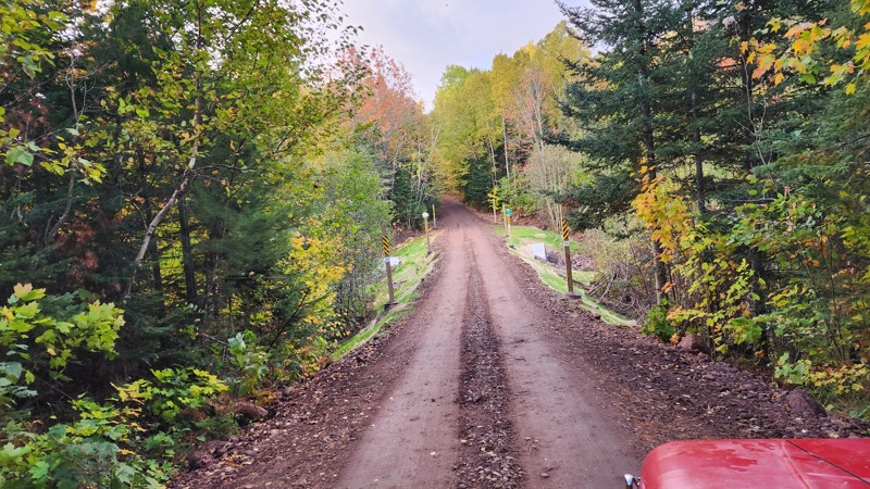
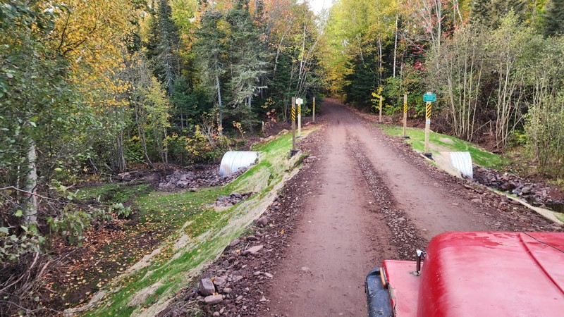
Awesome trail, been on it a few times and still love the views at the end. Recently the main water crossing has been replaced by a land bridge thing. I've added pictures of the new construction.
LL
Liam Lafferty
No Rating
Open
Visited: 09/27/2025
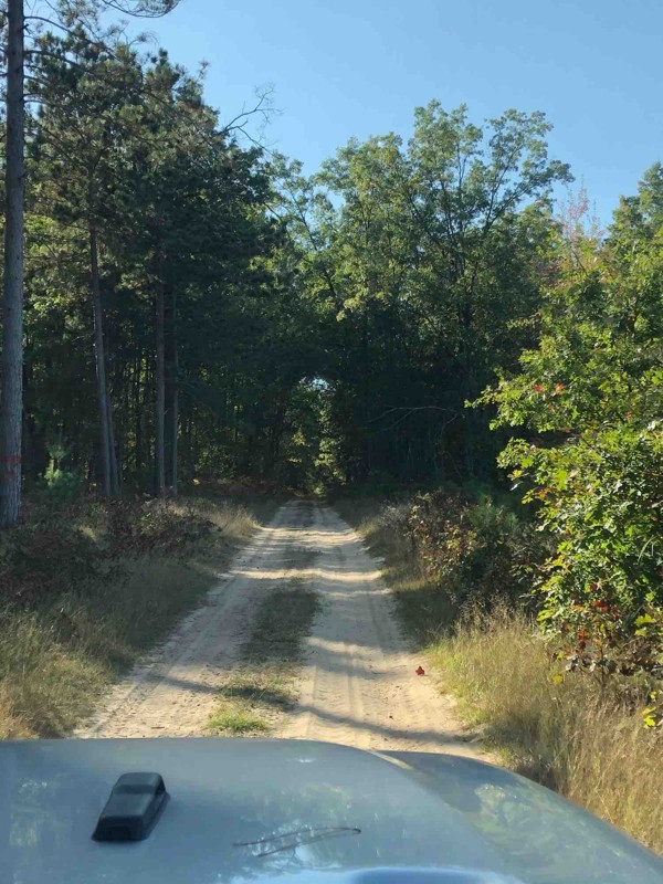
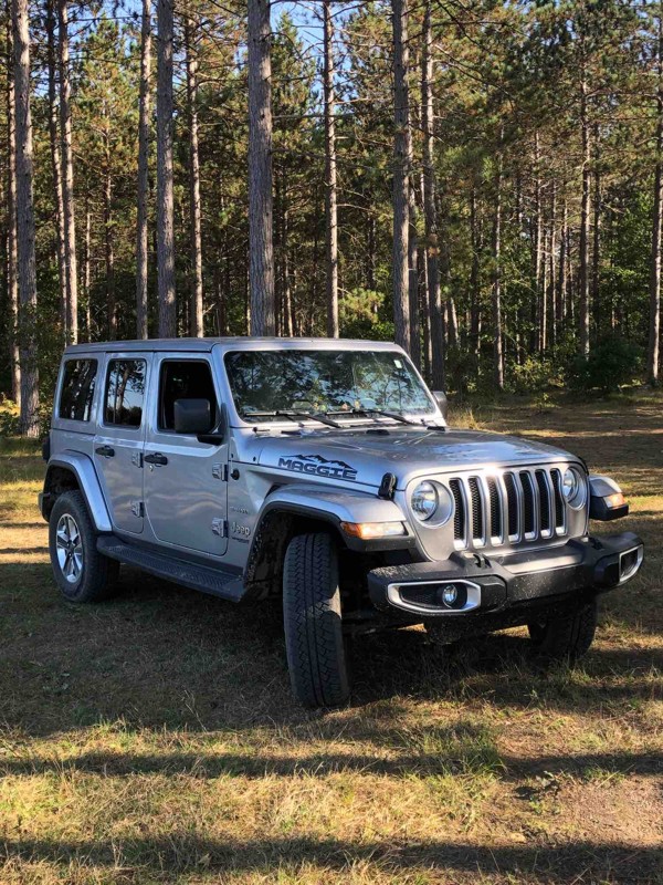
The trail is very nice and sandy. Family and I really enjoyed the time there. Unfortunately we didn’t see any other Wrangler or Broncos, but the trail was full of ATV vehicles. They were very friendly...

Klaus
Rated 5/5
Open
Visited: 08/29/2025
It as a beautiful trail. Just switch your 4x4 to sand and mud at times. You’ll love the light house. I’d go not in a weekend. The parking lot for the lighthouse is crowded..
LC
Lisa Carlson Ingersoll
No Rating
Open
Visited: 08/02/2025
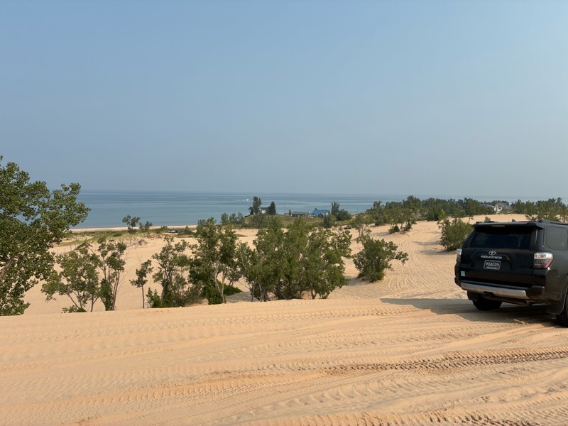
I went to Silverlake for the Ford Bronco 60th anniversary birthday bash, and rally. And what a great time it was. This facility is normally really busy on the weekends, but because of our group funct...


Gregg Easterbrook
No Rating
Open
Visited: 07/12/2025
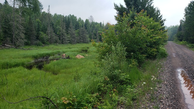
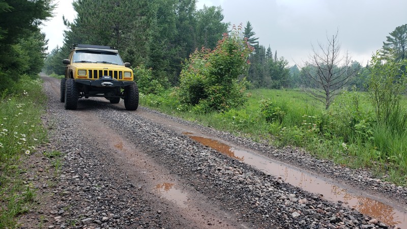
The trail was easy and well-maintained, with a smooth crushed limestone surface that held up well even after recent rain, just a few small puddles along the way. It’s a great route if you're looking t...

Eric Randle
Official Crew
Rated 2/5
Open
Visited: 07/11/2025
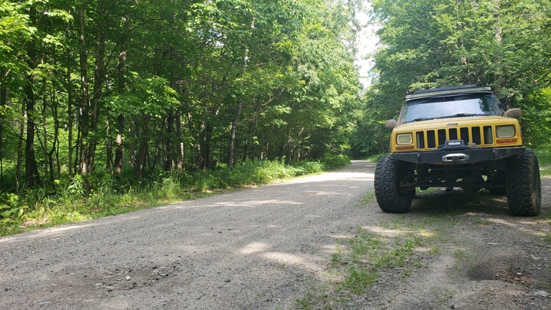
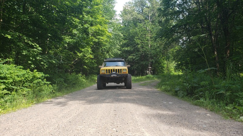
When we drove this road, the weather couldn’t have been better; partly cloudy skies made for some stunning views, especially at the water crossings. One highlight was spotting a beaver dam from a brid...
Eric Randle
Official Crew
Rated 3/5
Open
Visited: 07/11/2025
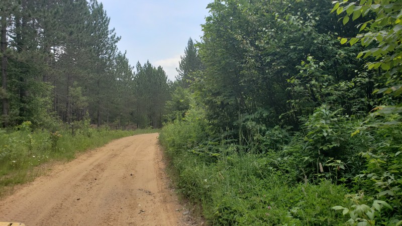
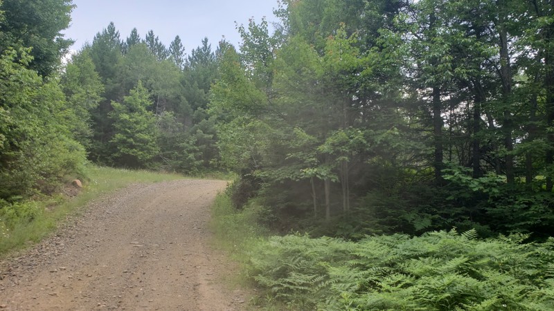
We had great weather during our ride, and the trail was dry and in good condition. However, it was clear from the ruts and erosion in certain areas that this route could be much more challenging after...
Eric Randle
Official Crew
Rated 2/5
Open
Visited: 07/11/2025
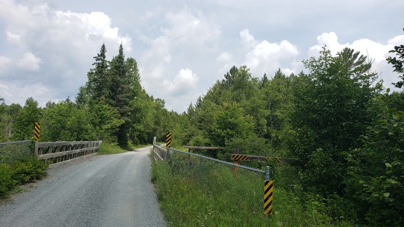
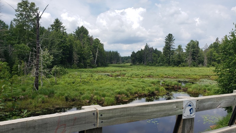
We started this trail in Republic and followed it north to Champion, riding a section of Michigan’s ORV Route C. The trail was smooth, well-maintained, and easy-going for the first half, with nice vie...
Eric Randle
Official Crew
Rated 2/5
Open
Visited: 07/09/2025
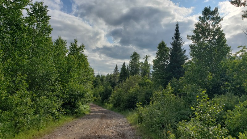
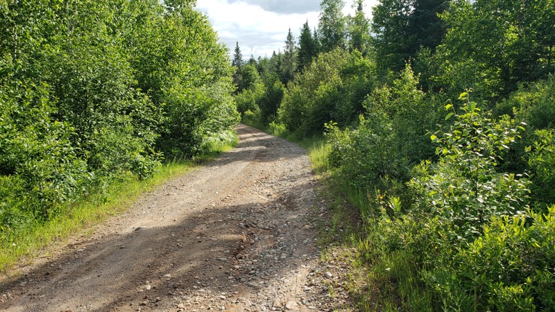
New DNR Road was a pretty easy drive overall. There were a few muddy spots and one section that was close to being washed out, but still passable with a high-clearance vehicle. There’s a small bridge ...
Eric Randle
Official Crew
Rated 2/5
Open
Visited: 07/09/2025
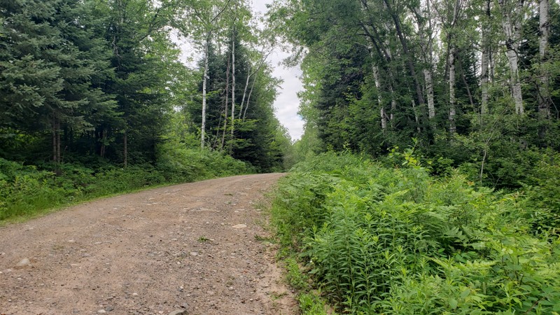
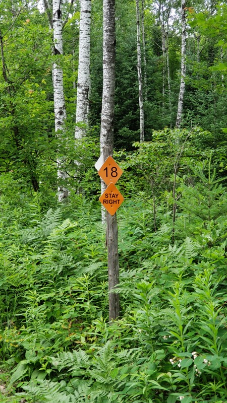
Camp 2 Road is a mellow forest trail that runs through the Crystal Falls State Forest, offering a scenic ride through dense woods and wildflowers. It’s mostly gravel with some muddy patches, puddles, ...
Eric Randle
Official Crew
Rated 2/5
Open
Visited: 07/09/2025
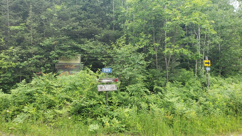
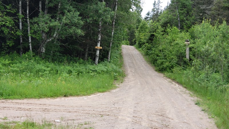
Camp One Road is a quiet forest road that winds through the woods in the Crystal Falls State Forest. It’s not a tough drive, but recent rain has left a few washouts and plenty of puddles to splash thr...
Eric Randle
Official Crew
Most Popular

Updated: 10/15/2024
1000
Goodar, Michigan
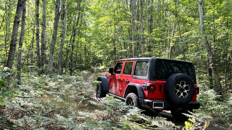
Tight and unrefined is the best way to describe this road. The section south of East Hughes Lake Road is very tight, with a few spots for a very small camping setup. Driving north from East Hughes Lake, the road becomes very muddy with patches of standing water. 4WD and recovery gear are highly recommended.
Updated: 10/15/2024
Tin Cup Springs
Chase, Michigan
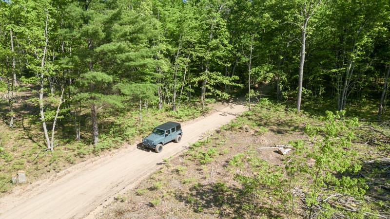
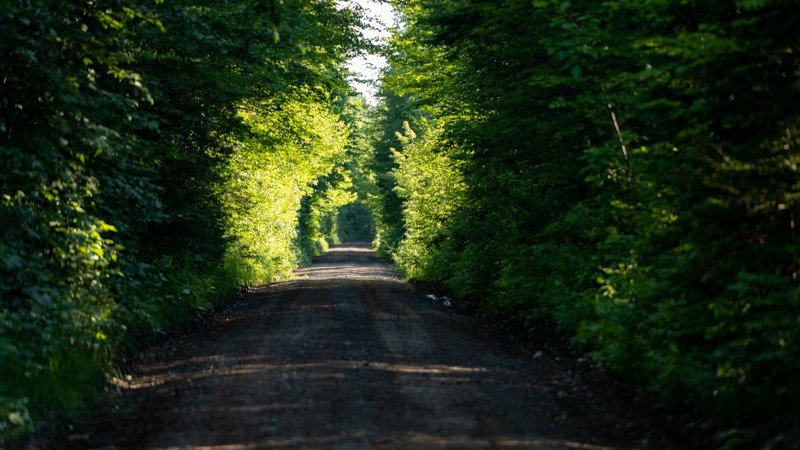
Carved out of the northwest lower peninsula of Michigan is the 17.4-mile Tin Cup Springs ORV trail. Located in the Cadillac State Forest, this scenic sandy loop has dense white oak forests, fragrant stands of various pine trees, and ferns that blanket the forest floor.
This well-marked, two-way trail is open to all types of offroad vehicles with a valid Michigan ORV license and trail permit. The single-track Tin Cup Springs Motorcycle trail crisscrosses the ORV trail at several points.
The trail is primarily sand with hard-packed dirt in a few stretches. Airing down tires is wise on this trail. Areas with almost bottomless sand would be difficult for a two-wheel drive vehicle, especially in on inclines.
There aren’t any established campsites along Tin Cup Springs, but multiple unnamed trails throughout the State Forest have spots for camping.
Parking lot with restroom - 43.96169, -85.72108
Updated: 09/16/2025
BN Route
Mass City, Michigan
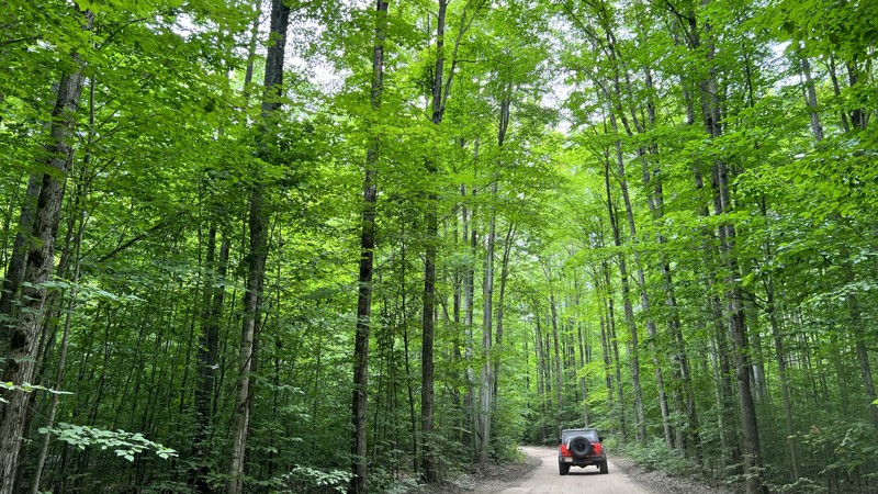
BN Route is a gravel trail that follows an old railroad bed southwest of Houghton, MI. It is part of the Michigan DNR trail system and requires a state OHV license to use. It is also known as the Bill Nicholls Route. The draw on this route is where the trail crosses the three branches of the Firesteel River using old steel trestle bridges. While the bridge structure is steel, the road surface is wood planks, and you can hear them creak and crack as you drive. The bridges are just wide enough for a full-size vehicle and roughly 60' above the ravine and river below. There are minimal camping opportunities along the route, but the trail goes through two small towns with small inns. About 1/2 through, the trail enters Twin Lakes, where there is a state campground and a fuel station. The southern end, right where the trail originates or terminates, depending on which direction you drive is the Adventure Mine. You can take an underground mine tour of a mine that began over 160 years ago.
Updated: 09/22/2025
Kalkaska North Loop
Bear Lake, Michigan
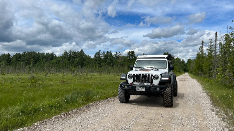
The Kalkaska North Loop is part of the State of Michigan ORV trail system. It is located west of Grayling, Michigan, and travels through public and private lands. ATVs and side-by-sides heavily use the trail here. The trail is a combination of dirt and sand with a few sections of pavement where it follows existing public roads. A parking area at the start of the trail is well marked and a great place to air down. This trail sees considerable traffic and is heavily used by the ATV and side-by-side community.
Updated: 08/11/2026
Haywire Grade (J Route)
Shingleton, Michigan
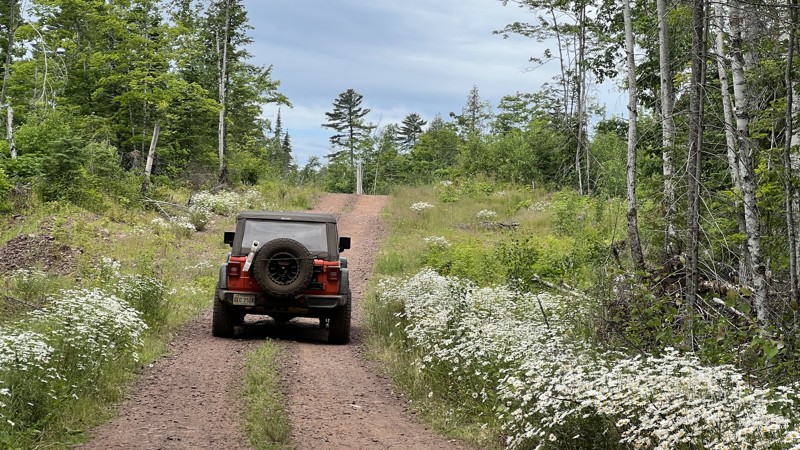
The Haywire Grade, also called the J Route, is a designated full-size route managed by the Michigan Department of Natural Resources. The road is mostly gravel but has mixed sections of sand and hard-packed dirt and an old rail line. It connects the towns of Shingleton and Manistique and connects with the C Route that travels just southwest of Munising. The road travels through thick hardwood forests, with a few patches of pine that has been reforested. As you travel by marshland, the tree canopy opens up between the wooded sections. This is one of the many rails to trails road, as this one is built upon the old "Haywire Grade," completed and operating in 1896. The DNR provides well-written informational kiosks as your drive the road that describes the historical rail stops. No camping along the route.
Updated: 10/15/2024
Mandan Road
Copper Harbor, Michigan
Mandan Road is the gateway to the best trails at the tip of the Keweenaw Peninsula. Mandan Road begins at the US Highway 41 pavement's ending. The trail is rough dirt and periodically maintained by the State. The road ends by turning into an ATV-only trail as defined by Michigan DNR. High Rock Bay is accessible along Mandan Road. There are a few dispersed camping locations towards the beginning of the road and at the end.
Updated: 06/26/2026
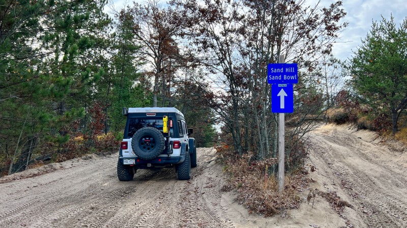
Meridian Road aka The Sand Bowl
St. Helen, Michigan
This route runs from a trailhead parking area, through a popular ORV area, and connects to the Saint Helen Center scout route. The moderate rating is due to the majority of the trail surface being made of soft sand that could be difficult for 2WD vehicles to navigate. About halfway down the trail, you'll reach the Sand Bowl, a great dune area to play around in and practice deep sand driving. Run this route independently or utilize it as a loop with Saint Helen Center.
Updated: 10/15/2024
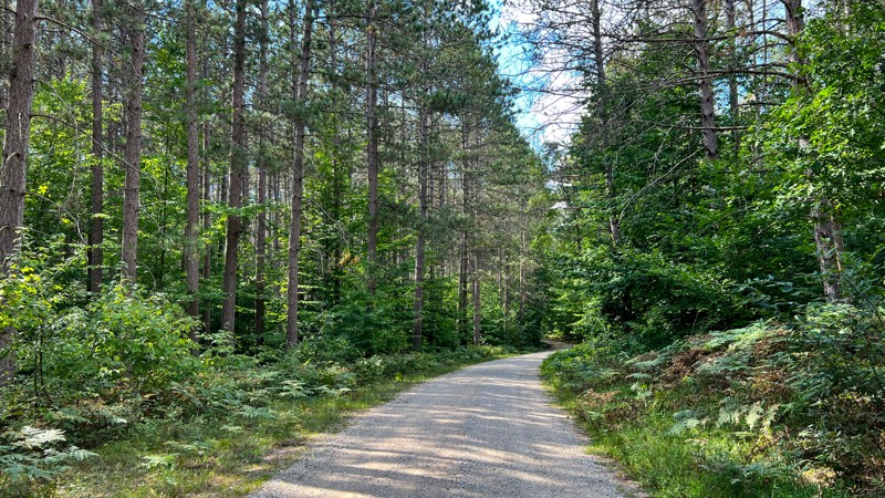
50 1/2 Road
Wedgewood, Michigan
50 ½ Road shares a small portion of 9983. This gpx track encompasses 50 ½ Road on the east and 9983 on the west. The road is gravel and does have sections going through healthy White Pine stands. No dispersed camping opportunities, but there are two State Forest Campgrounds just west of Cadillac, Michigan.
Updated: 10/15/2024
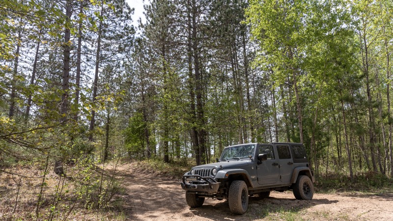
Sterling Truck Trail
Morres Junction, Michigan
The Sterling Truck Trail is situated in the heart of the Gladwin State Forest. Lined with aspen, oak, and various pine trees, this trail provides a fun experience for nature lovers and off-roaders. This trail connects to numerous two-track forest trails.
While not a technical trail, the sandy terrain can offer a unique challenge for 2WD vehicles. After a heavy rain, the Sterling Truck Trail can morph into a completely different beast. Mud puddles, varying in size and depth, scatter the path, turning a standard journey into a muddy adventure. These naturally occurring obstacles add an element of surprise and excitement, making every trip on the Sterling Truck Trail a unique experience.
There is a large camping spot that could easily accommodate five or six rigs at 44.06119, -84.11771
Updated: 10/15/2024
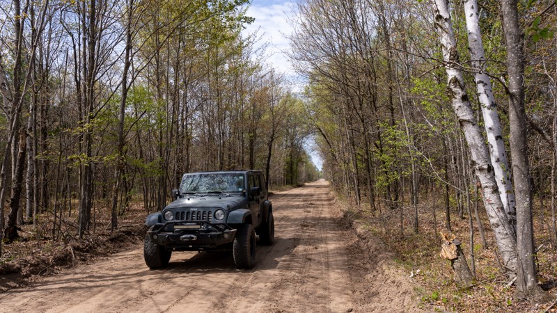
Center Firelane Trail
Alger, Michigan
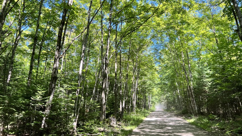
The Center Firelane Trail blends beautiful scenery and access to many miles of forest trails for off-road adventures. The trail offers diverse terrain, with sandy stretches that give way to sections of hard gravel and the occasional mud puddle. The trail has seen active logging activities in recent years, and sections of the trail are flanked by freshly cut timber.
This 10.6-mile trail is nestled within the Gladwin State Forest, a 12000-acre expanse home to many animals, such as white-tailed deer, beavers, mink, muskrats, and dozens of bird species, including sandhill cranes, swans, ducks, geese, and bald eagles.
South of Highway 61, the Gladwin trailhead is a launching point for ATVs and motorcycles. Center Firelane Trail also hosts a short loop called the Gladwin ORV Route, aka "Mosquito Alley." There is an extensive network of unmarked trails that also connect to this road.
Camping in the Gladwin State Forest is abundant. Many dispersed camping opportunities exist, including a wide clearing at 44.03889, -84.19643 that can accommodate a large group.
Updated: 10/15/2024
A Route-MI-123 to MI-129
Kenneth, Michigan
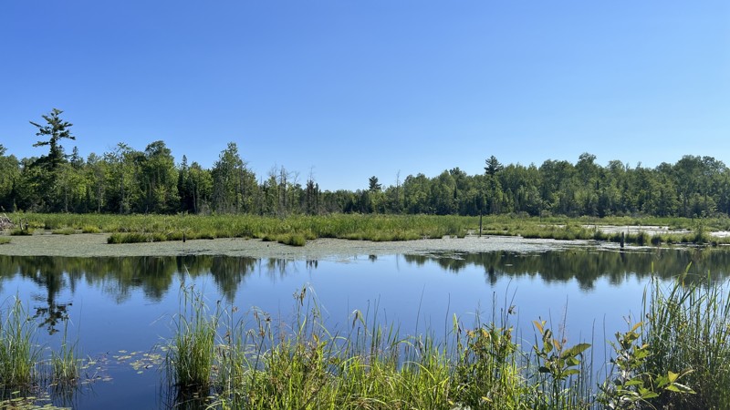
This trail is part of the State of Michigan ORV trail system. This section of the A Route runs mostly congruent with US Forest Service roads in the Hiawatha National Forest. The trail has a narrow overpass where it crosses over I-75. A few miles east of the interstate, the trail runs through Michigan State Forest, and the trail changes to a narrow, winding rough dirt trail that is much more intriguing to negotiate. Following the official A route by the State, it does have a few sections of pavement. A few nice camping spots are available near Bay City Lake. The trail begins at Michigan Highway 123 and ends at Michigan Highway 129.
Updated: 10/15/2024
OC Route North
Lake Mine, Michigan
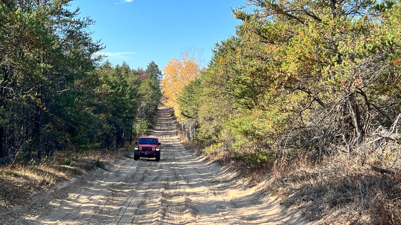
OC Route North is part of the State of Michigan ORV route system. The OC Route North combines a designated trail, a paved road, and gravel US Forest Service roads. Users must remain on the trail as the trail borders both public and private lands. A Michigan ORV Route System permit is required for all vehicles on this trail. There are a few camping opportunities in the National Forest section.
Updated: 10/15/2024
St Helen Route North (Center)
St. Helen, Michigan
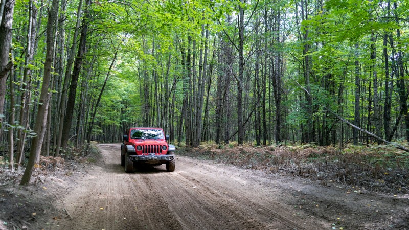
This route runs from a trailhead parking area through a popular ORV area and ends at another trailhead parking area. The moderate rating is due to the majority of the trail surface being made of soft sand that could be difficult for 2WD vehicles to navigate. The southern section of the route runs directly along the side of Saint Helen Road as a wide sand trail maintained for ORV. This is handy if you do not want to air up and drive on pavement. Run this route independently, utilize it as a loop with Meridian Road, or continue to the St. Helen Little Loop trail.
Updated: 03/23/2025
St. Helen to Denton ORV Route
Prudenville, Michigan
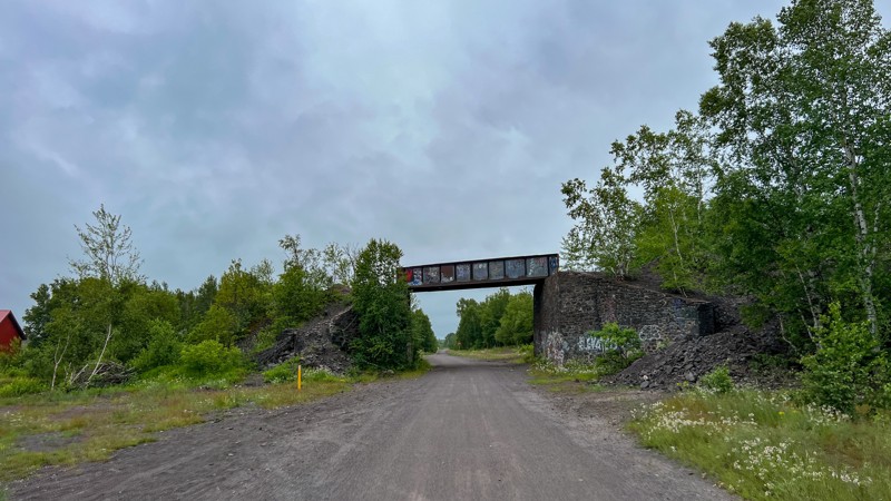
Depicted here, it starts where Emery Road ends and follows the St. Helen to Denton ORV route. It is wetter than Emery Road. Standing water exists with plenty of water holes. The waterholes are fairly firm on the bottom. A few of the side road areas provide potential campsites. Be wary of fast-moving ATV and side by side traffic around the blind curves.
Updated: 09/16/2025
B Route South
Hancock, Michigan
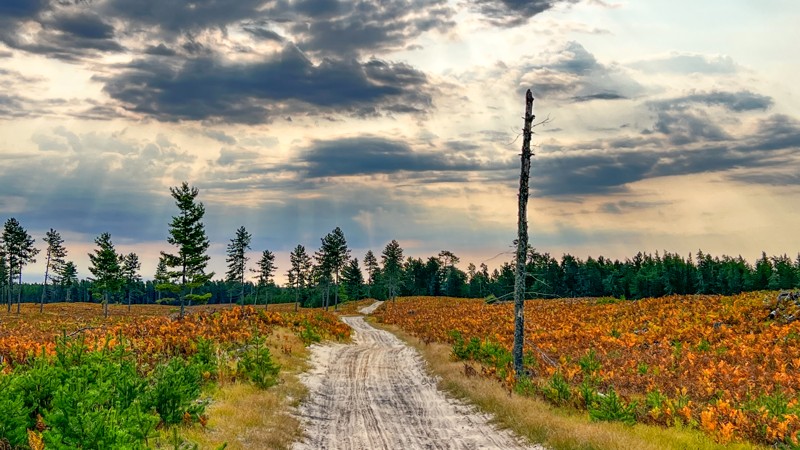
B Route South is a designated State of Michigan DNR route that runs between Houghton and Calumet. It travels an old railroad bed and is well maintained. It originates in Houghton and terminates in Calumet, giving plenty of opportunities to see historic structures from the mining boom. It is open to ATVs, side-by-sides, and motorcycles. A Michigan ORV permit is required on any vehicle using this trail. No camping opportunities.
Updated: 10/15/2024
Coast Guard Line Road
Deer Park, Michigan
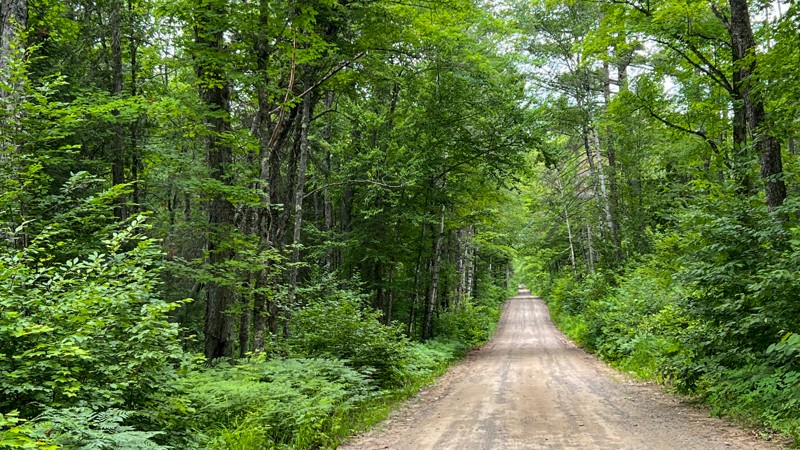
Coast Guard Line Road has a wild feeling as it passes through private property and public land in the Newberry State Forest. The road connecting H37 and County Road 374 is hard-packed dirt, with deep pockets of loose sand and some protruding rock. The sand will make you want to have 4WD. Maps name this and surrounding roads "Coast Guard Line Road." It does appear on the Michigan DNR portal as a legal route. You will get a mix of tall white pines to areas that have been clear-cut during logging operations. There are a few prime spots for dispersed camping, and at each end, there are State Forest Rustic Campgrounds minutes away.
Updated: 07/26/2025
Ponozzo Road
Gibbs City, Michigan
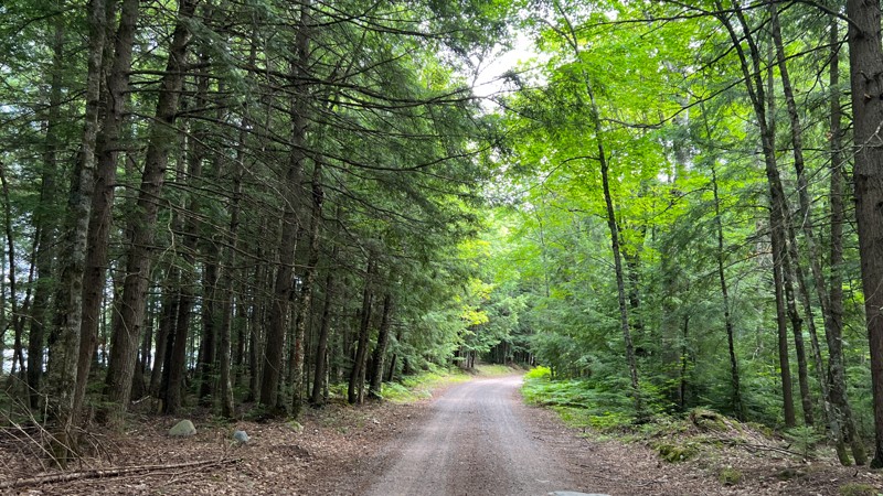
Ponozzo Road starts as a very wide and well-maintained gravel road through a residential area before morphing into a nice, well-maintained road through the Ottowa National Forest. As you drive north, the road comes under the shade of a dense tree canopy. No dispersed camping was found, but a beautiful forest service campground can be had at the end on Perch Lake Road.
Updated: 10/15/2024
FR 3500
Elmwood, Michigan
Forest Road 3500 is a graded gravel road near Kenton, Michigan. The road is wide and well-maintained, passing by several small lakes and an old dam structure. Look for camping on the south end where logging roads have been blocked off. The ground is open and flat in those locations. This road is part of the route known as the "7-hour Plane Crash Trail" that goes from Crandon, WI, to the Keweenaw Peninsula in Michigan.
Updated: 10/15/2024
Simmons Woods Road
Corinne, Michigan
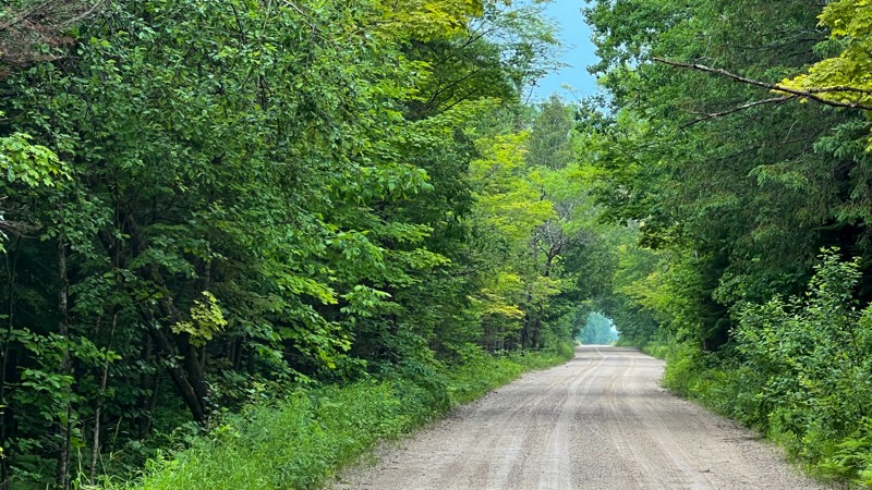
Mostly graded or hard-packed dirt, Simmons Woods passes through private property before entering the Sault St. Marie State Forest. It reaches Duel Lake, a popular spot for anglers and boondockers. Camping locations are near the lake, with two large fields for trailers and RVs. Further down the road, tent campers can find a little more seclusion.
Updated: 10/15/2024
A Route (Western Portion)
Marks, Michigan
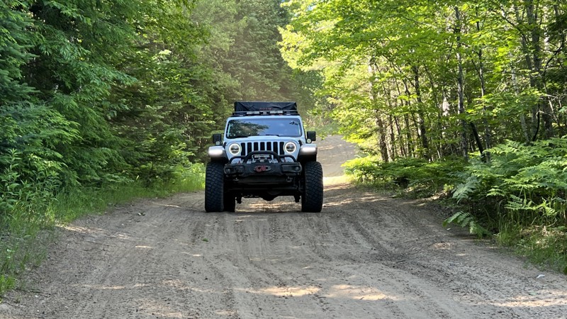
This route follows the western portion of what the Michigan DNR labels as the A Route, which is open to full-size vehicles. Several roads make up this route. The road surface is a mix of gravel, hard-packed dirt, mud, water crossings, and several patches of deep and fluffy sand. Four-wheel drive is recommended. The scenery is diverse and changes from a dense tree canopy to open areas of marshland and logging. There's plenty of camping in the middle portion of the route as well as the eastern. However, the east end is closer to busier paved roads and residences.
Updated: 08/11/2026
Highbanks
Strongs, Michigan
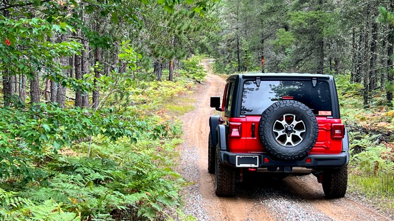
Highbanks' southern end passes by private property and telephone poles, but that quickly gives way to a remote feeling as you look at a narrow hilly road through thick forest, which encroaches the road. Expect standing water after heavy rain or spring melt. Several small hill climbs exist as well. Larger rigs with overland gear hanging off the sides could struggle on this trail. 4WD recommended. No dispersed camping opportunities. Open 4/1 – 11/30
Updated: 10/15/2024
County Road 500
Whitehouse Landing, Michigan
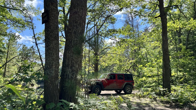
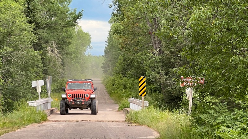
One of the primary roads leading to the beautiful and historic Crisp Point and also The Mouth of the Two Hearted River Area. It is a simple gravel road with a few patches of deep sand. It does offer a good-sized first-come first campground named.Culhane State Forest Campground. Additionally, it does provide a good view of Dry Lakes.
Updated: 10/15/2024
FR 3470
Beechwood, Michigan
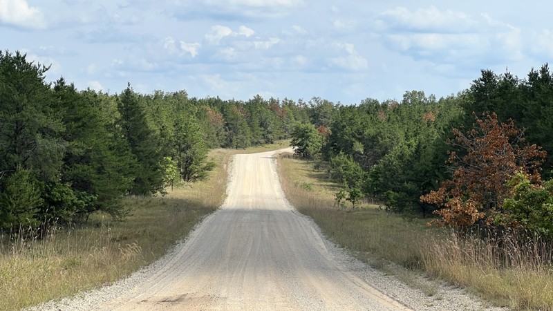
FR 3470 is a long, straight forest service road with little change from beginning to end. In the middle are a few different water features in streams and ponds. Look for wildlife such as deer and turtles. No camping opportunities were found.
Updated: 10/15/2024
Mack Lake Road
Mio, Michigan
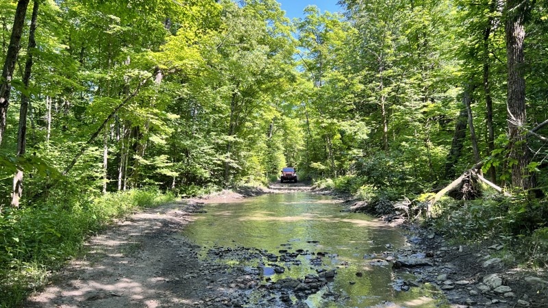
There are thousands of county dirt roads in Michigan, but Mack Lake Road happens to connect you to various parts of the Huron National Forest. It is gravel and moves quickly. There are patches of private land that it travels through, but it's clearly marked.
Updated: 10/15/2024
Dry Lake Road
Lincoln, Michigan
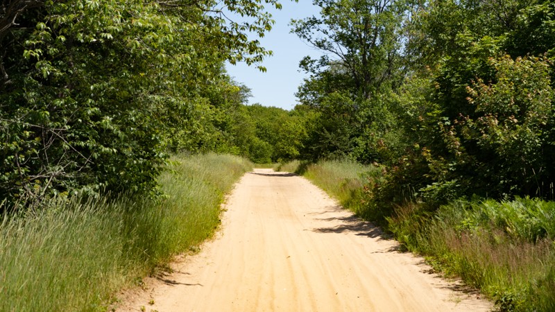
Dry Lake Road is a rugged trail through Drummond Island, Michigan forest that connects Sheep Ranch Trail to Nevenen's Road. The road is spattered with rocks up to 12" large. Standing water on the trail allows for multiple water crossings. All of the water holes have a solid rocky bottom that allows you to drive right through the center of each.
Updated: 08/11/2026
Burma Road (A Route)
Brevort, Michigan
Burma Road, also known as Burma Grade, is a gravel and sand trail in the Hiawatha National Forest. It is also known as the A Route, as depicted on the Michigan DNR ORV Portal. The road is only open from April 1st through November 30th to cars, OHVs, and motorcycles. Many other trails radiate from this road. Burma Road becomes a snowmobile route in the wintertime. No camping found.
Updated: 10/15/2024
Rocket Range Road
Copper Harbor, Michigan
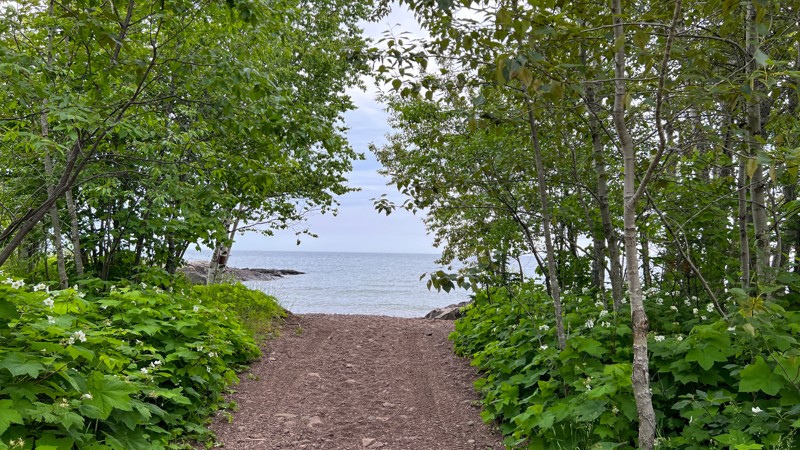
This short dirt road winds through the forest and ends at the shore of Lake Superior. It is the historical site of a rocket launch range establish by the State of Michigan. Very limited dispersed camping is available along this road, but there is one very nice tent location on the rocky beach.
Updated: 10/15/2024
Michelle Benson Trail
Caberfae, Michigan
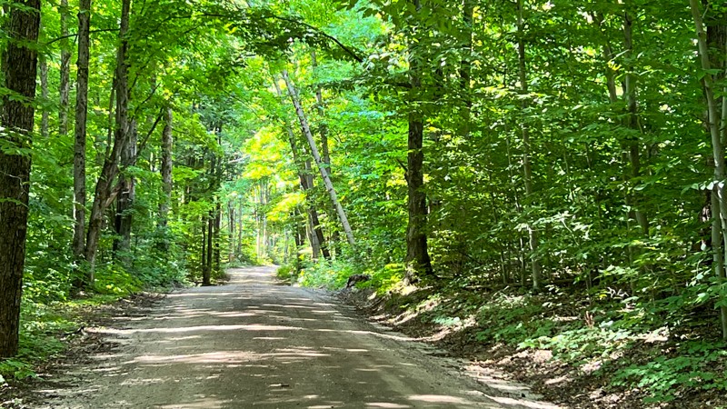
9930 also appears on maps as North 17 ¼ Road. The road mixes hard-packed dirt, gravel, and soft sand. The soft sand may require 4WD if there is a loss of momentum, and you have to start from a dead stop. On its southern end, it either terminates or starts at M55. You can take M55 to other Forest Roads or turn at FR 5406 to continue traveling south into the forest. A few pre-existing dispersed campsites exist.
Updated: 10/15/2024
County Road 423
Deer Park, Michigan
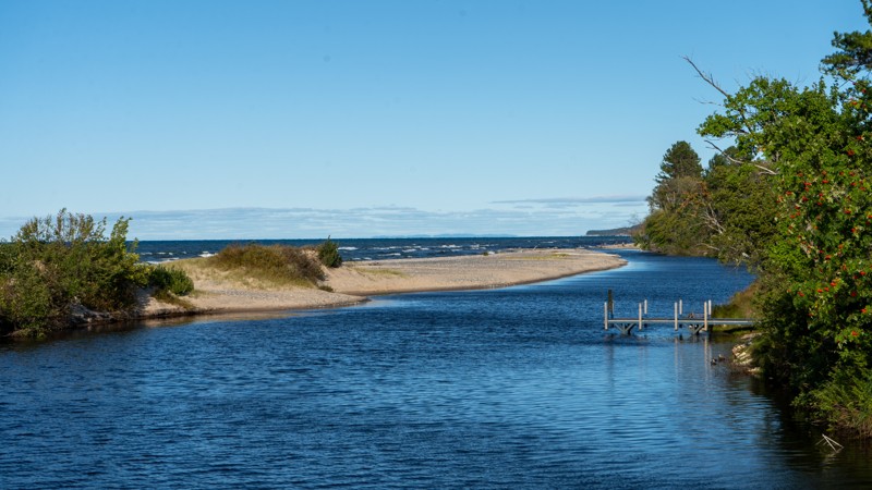
County Road 423 is a scenic route to Lake Superior's shores, the Mouth of Two Hearted River area, and the state forest campground. Any vehicle can drive this road, but many side roads will require 4WD. The campground at the end is small but with several excellent sites. Privacy is limited. There is access to the beach and dunes for rockhounding and catching those breathtaking sunrise and sunsets.
Updated: 10/15/2024
Charcoal Grade and Camp 7
McPhees Landing, Michigan
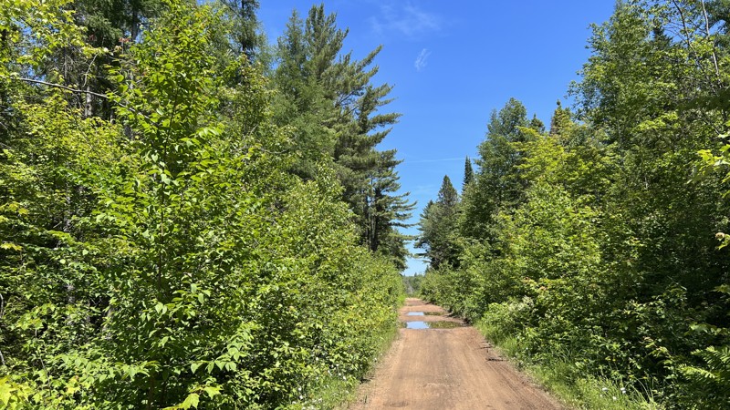
Starting from the end of Skyline Drive, this route is an excellent way to eliminate a portion of Highway 123 and travels mainly through the Newberry State Forest. It will pass through several shallow water crossings and even deeper mudholes. There are plenty of locations to camp, but none were pre-disturbed locations.
Updated: 10/15/2024
Gladwin State Forest West Burns Road
Sanford, Michigan
The Gladwin State Forest has a lot of opportunities for off-road adventure and exploration. West Burns road is just one of the entry points to trails within the forest preserve. Once you turn off pavement you're greeted by a bumpy dirt road that will take you past several off shooting trails. Not all trails are available to ORV's so be sure to know where you're going. This route will take you to the end of West Burns Road and up a northern spur of the trail system. The trail dead ends, so it's an out-and-back.
Updated: 10/15/2024
Valley Road
Mio, Michigan
Valley Road is in the southwest Huron National Forest. The rolling 12.3-mile road is wider and smoother than most roads in the area. This mature section of forest has dozens of intersecting forest roads, two-tracks, and ATV trails. This area is rich in wildlife, such as Whitetail Deer, Red Fox, Coyote, and other small game animals. There is a large marsh area that is home to many migratory birds.
Updated: 06/02/2025
FR 4103
Sand Lake, Michigan
At nearly 9 miles long, Forest Road 4103 cuts through the Huron-Manistee National Forest and provides access to a dozen or more dirt roads. The Huron ORV trail/Sand Lake Spur intersects this road as well.
While there are no campsites, there are ample opportunities on many spur trails along this road. Nearby attractions include Largo Springs and a panoramic overlook of the Au Sable River.
Updated: 10/15/2024
Houghton Creek Trail
Rose City, Michigan
This sandy straightaway will take you from the scenic Ambrose Lake State Forest Campground to just outside the Ogemaw Sport and Trail Center Motocross Campground. The Moderate rating is due to this trail being mostly sand and certain areas could require 4WD. Ambrose Lake State Forest Campground has vault toilets, trash bins, and water, and campsites are available on a first-come-first-serve basis only with no reservations. Snagging a campsite right on the water gives you a nice view for your stay. The Ogemaw Sport and Trail Center Motocross Campground is privately run, be sure to learn more about their 'Tracks, Trails, Hill Climbs and Freestyle Ramps' for ATV and moto.
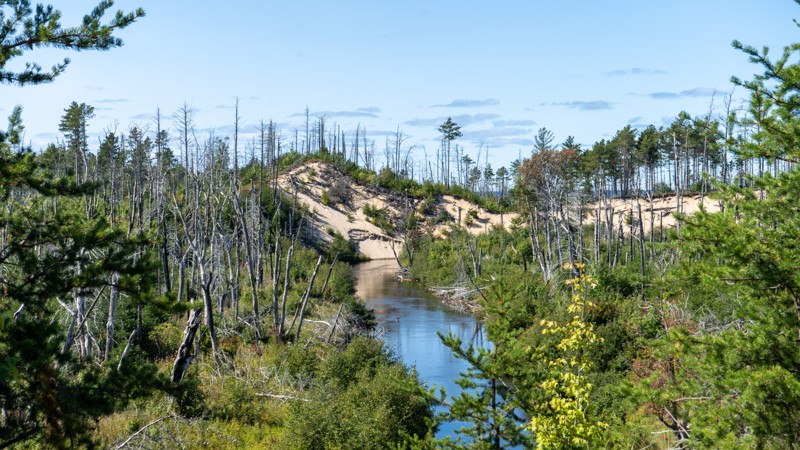
Updated: 10/15/2024
Two Hearted River Access
Deer Park, Michigan
Two Hearted River Access is a tight trail lined with sapling pines that reach out and brush your paint a little bit as you head to a secluded campsite and access to the Two Hearted River. There are views of the dunes and Lake Superior off in the distance. The road has no number, but the DNR map depicts it as a legal road.
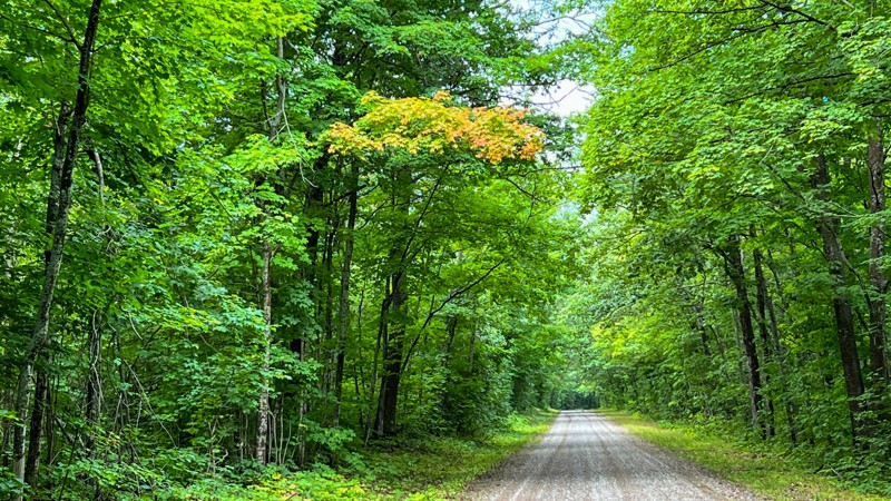
Updated: 08/11/2026
Cad Soo
Raco, Michigan
Tree-lined Cad Soo is suitable for any passenger car. Several roads intersect with this primary east-west passage through the northern section of the Hiawatha National Forest and provide several sight-seeing opportunities. As with much of Michigan, dispersed camping was non-existent along the road. Open 4/1 through 11/30.
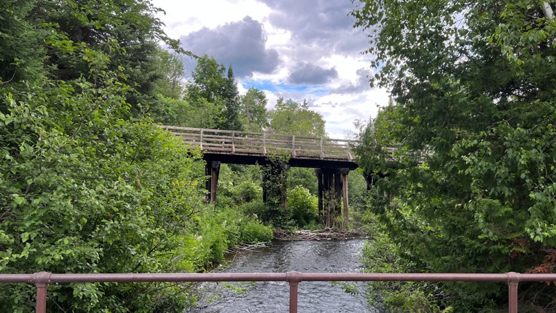
Updated: 10/15/2024
Basswood Road
Basswood, Michigan
Basswood is a county road that runs along the South Branch Paint River with an interesting bridge to view. It is well-maintained and provides access to the Ottowa National Forest. No camping opportunities were found along the way.
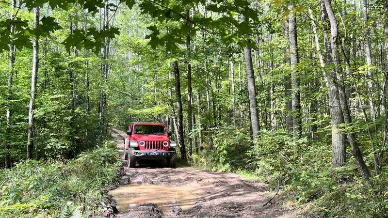
Updated: 10/15/2024
4812
Goodar, Michigan
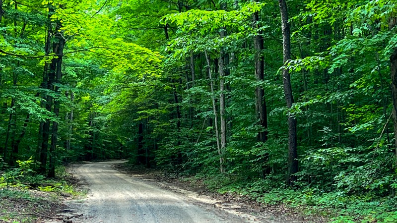
4812 is a tight and narrow tree-covered trail with potentially very deep mud holes. During heavy rain or spring melt, this trail could be challenging. There is little room to pass oncoming vehicles. The woods are dense enough that it will be tough to pull over on the west end. High clearance 4WD is recommended, plus all the recovery gear. On the east end, there is plenty of flat grassy areas for dispersed camping.
Updated: 10/15/2024
5224
Boon, Michigan
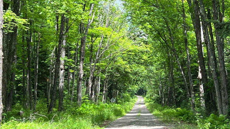
5224 is a mix of hard-packed dirt, gravel, and looser deeper sand. 4WD may be required if you lose your momentum in the sand. You are mostly driving through beautiful maple trees and other hardwoods, with a few patches of white pine and evidence of logging. The trail offers a few grassy areas to disperse camp.
Updated: 10/15/2024
FR 3920
Katakitckon Indian Village, Michigan
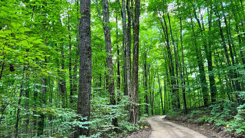
FR 3920, a smooth gravel road, provides a good tunnel effect with its dense tree canopy. Mostly, it is straight as an arrow and has very little change from one end to the other in terms of scenery and difficulty. No camping was found as the forest was thick on either side.
Updated: 10/15/2024
5151 - 7849
Hoxeyville, Michigan
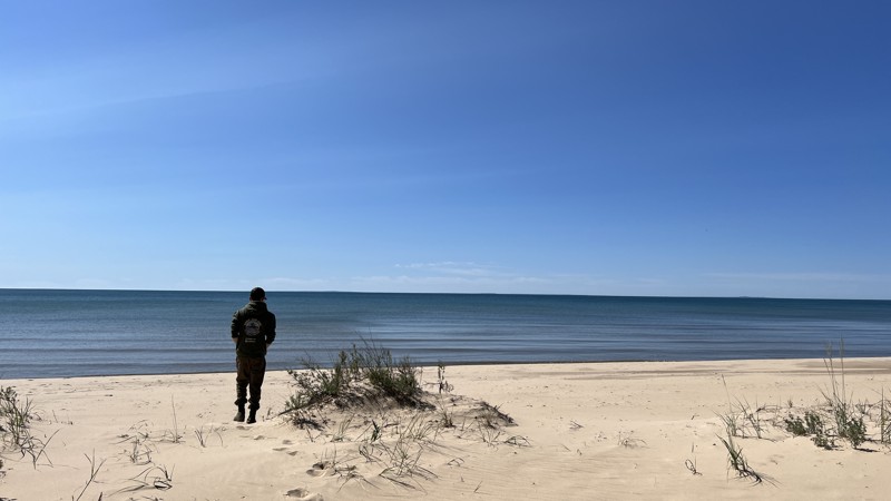
This route combines 5151 and 7849. 5151 technically turns to the east, but Father Time has done his job. The furthest east spur is very overgrown. The gravel and dirt road that drives through denser hardwood and pine creates beautiful shades of greens accented with darker bark. A few spots will be open with grassy areas for possible camping. All of the roads in the forest are open from 4/1 to 11/30.
Updated: 10/15/2024
Seiners Point
Corinne, Michigan
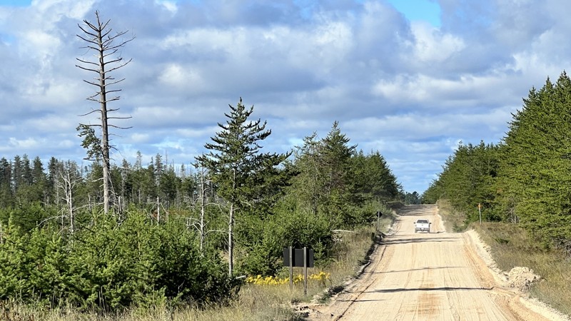
The Michigan DNR portal shows this unnamed trail is open to ORV use. The trail leads to Seiners Point, an interdunal swale along Lake Michigan. The name Seiners Point is given here for documentation purposes. The western half of the road to Seiners Point is comprised of rough dirt and is extremely tight with overgrowth that is doable but difficult for vehicles with rooftop tents. A saw will most likely be required. East of the Point, the road becomes wider and gravel. It provides access to three lakes: Duel Lake, Mud Lake, and the main attraction, Lake Michigan. The southern portion that travels along Seiners Point gives access to a pristine beach along Lake Michigan. To see Lake Michigan, you must walk about 50 yards - no vehicles are allowed on the beach. Don't be fooled into following the illegal access road to the Lake. Camping can be found near Duel Lake and Lake Michigan. The northeastern section road travels alongside gigantic boulders covered in moss and surrounded by exceptionally tall ferns before giving way to another network of DNR roads.
Updated: 10/15/2024
County Road 414
Timberlost, Michigan
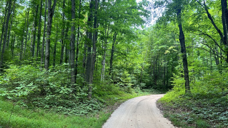
County 414 connects Pine Junction with County Road 500, helping overlanders avoid many miles of pavement. The road travels through a mix of private and public land within the Newberry State Forest. One of the few roads where dispersed camping was found in spots near County Road 423.
Updated: 10/15/2024
9784
Mesick, Michigan
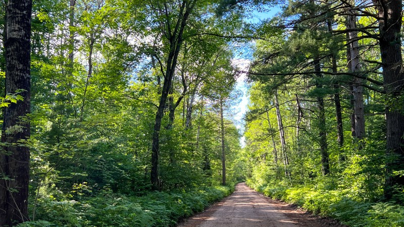
9784 is a simple gravel road passing through a mix of pine and hardwoods. The trail provides access to the Manistee National Forest and may also show on maps as North 17 ½ Road. A couple of very nice, but small, campsites are in the northern section.
Open 4/1 – 11/30
Updated: 10/15/2024
FR 2020
Sidnaw, Michigan
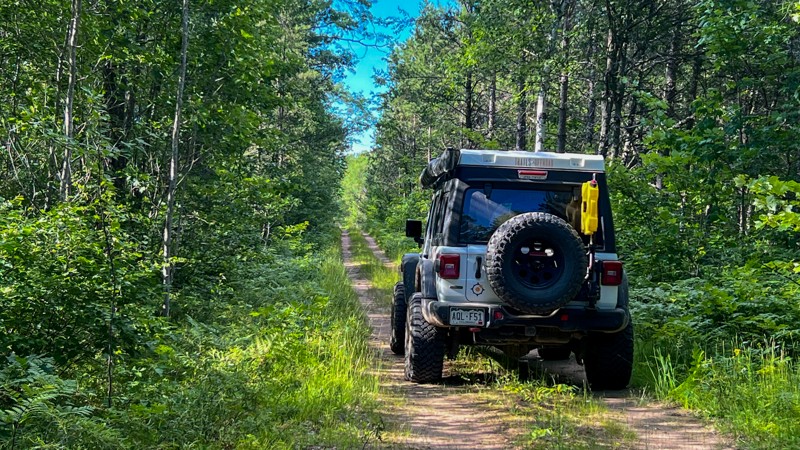
Forest Road 2020 is a maintained gravel road with nice sections of tall hard and softwood trees. It is part of what is known as the "7-Hour Plane Crash", which is a route leading from Wisconsin to High Rock Bay in the Keewena Penninsula. No camping along the route.
Updated: 10/15/2024
FR 1334
Frost, Michigan
Forest Road 1334 is a rough dirt road in the Ottawa National Forest of the Michigan Upper Peninsula. It crosses an active rail line on two occasions. This road is more narrow than others in the region, with trees occasionally falling across the road - bring a saw. Vehicles using this road should carry a saw to clear their path. No camping spots were observed.
Updated: 10/15/2024
Perch Lake Road
Tunis, Michigan
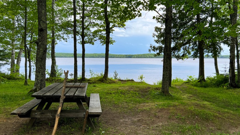
This short Forest Service road leads directly to the Perch Lake Campground. The hardest part of Perch Lake Road is backing into your campsite. The campground sits along the west shore of Perch Lake with primitive sites and a vault toilet. A nightly USFS camping fee is required to use any of the 20 available campsites. The campground is suitable for campers and tents alike.
Updated: 10/15/2024
FR 3210
Basswood, Michigan
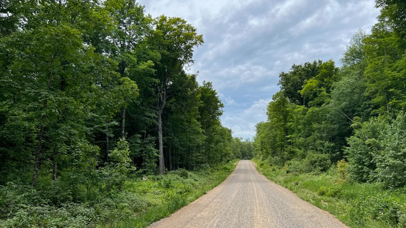
A wide, smooth gravel road, FR 3210, passes through an open, visually expansive forest. It travels along a private nature preserve and provides access to other roads to the west. Evidence of logging operations can be seen along the drive. No real camping opportunities.
Updated: 10/15/2024
Dick
Cordell, Michigan
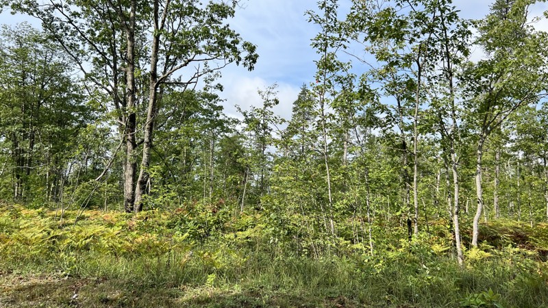
Dick is a sandy gravel road that seems to drain well after rain. The trail mixes thick forest walls on each side of the road to open clear-cut areas. A few small camps can be found in the areas of other trailheads. Camping is also available at the Solider Lake Campground, which must be reserved via recreation.gov.
Updated: 08/11/2026
Dowling Creek
Hoxeyville, Michigan
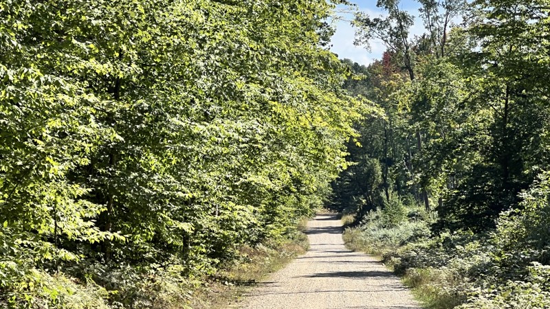
Dowling Creek, FR 5406, connects M55 and West 48 Road. You can choose to drive all of it, or for a more rugged feeling, connect to FR 7859. This road offers more open areas than others with a few campsites in those open areas. Open 4/1 - 11/30.
Updated: 10/15/2024
East Center Firelane Trail
Bentley, Michigan
East Center Firelane Trail is an easy, straight-through road that meanders along the edge of the Bentley Marsh, a seasonal destination for thousands of migratory water birds.
Depending on the season, this trail is mostly dirt with sandy sections or shallow mud. Countless trails and two tracks connect with this road.
There are dozens of dispersed camping sites, including secluded peninsula spots overlooking the marsh. An open, flat campsite for multiple rigs can be found at 43.99013, -84.18078
Updated: 10/15/2024
5031
Harrietta, Michigan
In the north, 5031 begins where 9784 terminates. The gravel trail passes through patches of dense woods and open areas. There's one small campsie at the junction with one of the side roads. The side roads appear to be more trails than roads. At its southern end, 5031 terminates with South 15 ½ Road, where you can turn south to catch West 30 ¼ Road to continue south into the forest
Updated: 10/15/2024
East Fire Lane Trail
Morres Junction, Michigan
East Firelane Trail is a 2.6-mile trail deep inside the Gladwin State Forest. While not a difficult trail as it lacks obstacles, it is comprised primarily of soft sand and dirt that could turn into mud after heavy rain. There are also miles of unmarked trails throughout this section of the State Forest.
It offers many rustic camping opportunities overlooking marshland or hidden in the forest. A camping spot with a great view can be found at 44.02622, -84.18108.
Updated: 08/11/2026
Round About - Rocks and Valleys
Hatton, Michigan
The aptly named Round About trail is the best way to move quickly around Rocks and Valleys offroad park. The trail acts as a connector to both open scramble areas and the other trails of all challenge levels. The surface is rough dirt and sand, typical for this part of Michigan, with a few small hills to climb. Depending on recent rainfall, there may be areas of standing water, and occasionally, fallen trees cross the path, although the park staff clears anything that would disrupt travel.
About Rocks and Valleys:
Rocks and Valleys is a privately owned offroad park in mid-Michigan. The park offers numerous trails for drivers of all skill levels across 200+ acres. The trails make use of the natural terrain, winding up and down densely wooded hillsides, with additional man-made challenges placed along the way. The park is typically open from April through October but does host occasional winter wheeling events. Rustic camping is available on the property for those wishing to stay very local. It is recommended to check the Rocks and Valleys website for the latest information on rates, hours, payment methods, and special events.
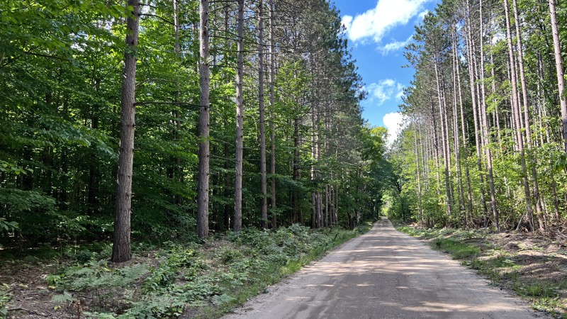
Updated: 10/15/2024
East Bump
Boon, Michigan
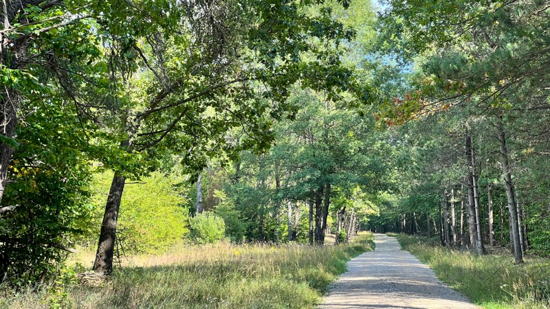
9943 also shares portions of 38 Road. Gravel and easy for anyone to drive. On the west end are private residences. No camping opportunities.
Updated: 10/15/2024
5334-9787-5410
Hoxeyville, Michigan
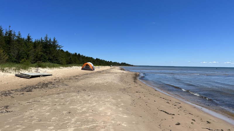
These three road numbers all join each other to make one continuous road. No real views as the road is mostly entirely treelined, with a few patches where open grass spaces exist. No dispersed camping opportunities but there is the Lincoln Bridge State Forest Campground nearby.
Updated: 10/15/2024
Big Knob
Engadine, Michigan
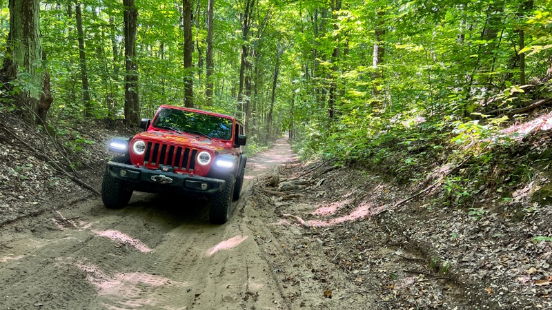
A simple dirt road leading to Big Knob Campground that is nestled along the shores of Lake Michigan. Big Knob has 23 first-come, first-serve campsites that you need the annual Recreation Passport to be able to use. Several sites were well spaced, while others were right next to their neighbors. The prime sites with the walking path to Lake Michigan are directly next to one another.
Updated: 10/15/2024
7859
Hoxeyville, Michigan
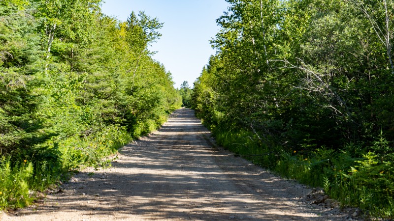
7859 is short, but it does offer a bit of variety after driving all the gravel roads in the area. While still easy, 7859 is more challenging than its neighboring maintained roads. Passenger cars would struggle on this one with its slight incline/decline, sand, and minor ruts. A hardwood tree canopy covers the trail. No pre-existing dispersed campsites.
Updated: 10/15/2024
Hog Island Road
Epoufette, Michigan
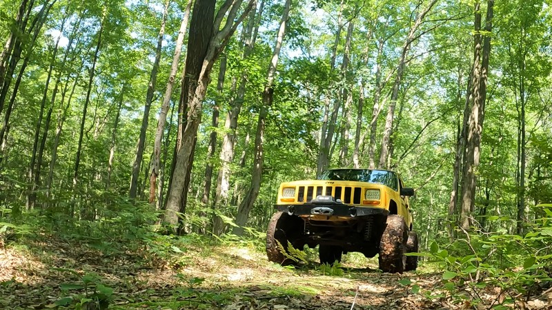
Hog Island Road runs north from the Lake Michigan Scenic Highway through the forest to the small community of Rexton, MI. This graded, gravel road is narrow for a two-lane road, but finding a place to pass on-coming traffic should not be a problem. A multitude of roads and trails are available in the area around Rexton, MI. Hog Island Road runs through a mixture of Michigan State Forest and private property. A Michigan ORV Route System permit is required for all vehicles on this road.
Updated: 10/15/2024
East Johnson Road
Ashley, Michigan
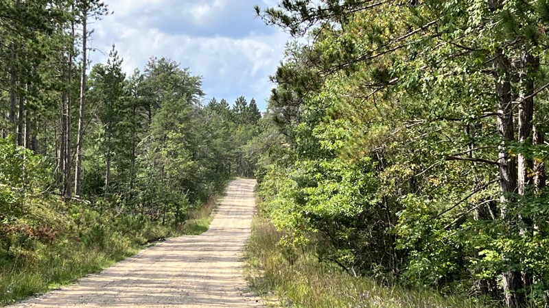
East Johnson Road is a short down-and-back trail that starts as a two-track with several mud puddles along the way. Some of the mudholes can be soft, so four-wheel drive might be needed. Once the two-track ends, the trail continues on into the forest alongside a swamp that dead ends. There's one spot that will require mud tires or momentum to get through. Depending on how recently it rained, a winch may be necessary.
Updated: 10/15/2024
East Hughes Lake Road
Rose City, Michigan
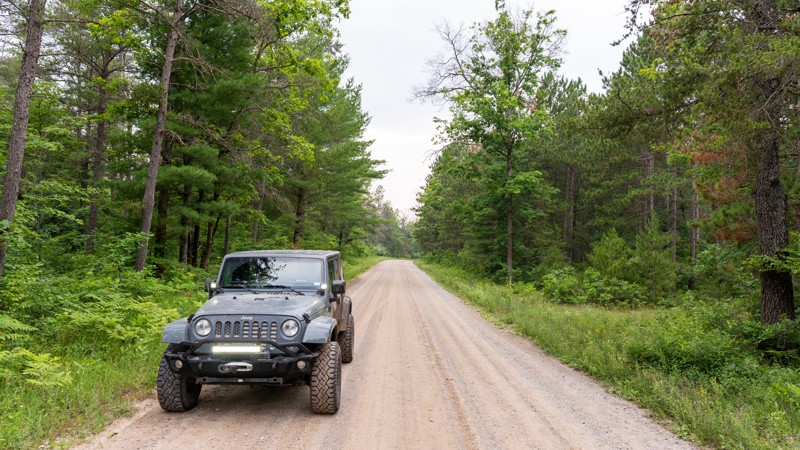
East Hughes Lake Road starts wide, well maintained, and well-used, with oil and gas infrastructure running alongside it. The gravel soon gives way to patches of rough dirt. The road eventually turns into more of a two-track before dead-ending at 1000. Standing water and mud are present during the wet season. Towards the east end, patches of clear cutting provide potential camping opportunities.
Updated: 10/15/2024
Pine River Road
Barton City, Michigan
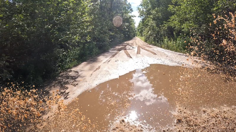
Pine River Road is an 8.5-mile trail that gives access to more than a dozen forest roads and two tracks in the Huron National Forest. There are sections of dense hardwood and evergreen forests, as well as open areas with young trees and scrub oaks recovering from logging activity.
At the northern section of the trail, a narrow bridge passes over the South Branch Pine River, known locally for its exceptional fishing.
No designated campsites are along the road, although dispersed camping is allowed in the national forest. There is also the Pine River Campground, a rustic forest service campground.
Updated: 10/15/2024
MudCreek Trail
Alamando, Michigan
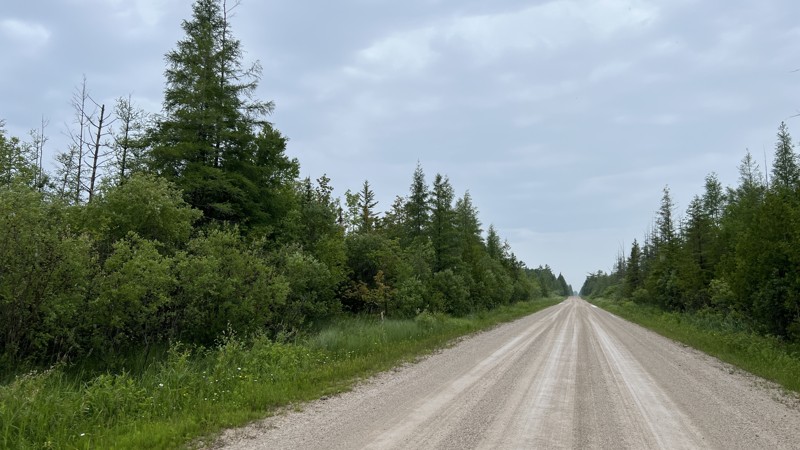
This trail is generally pretty easy, with the most difficult spots having a bypass. This trail runs from West Burns Road to West Baker Road through the Gladwin State Forest. It has plenty of muddy holes, some hill climbs, and sand pits that provide a variety of obstacles. No camping is found along the trail.
Updated: 10/15/2024
North Gould City (AJ Route)
Gould City, Michigan
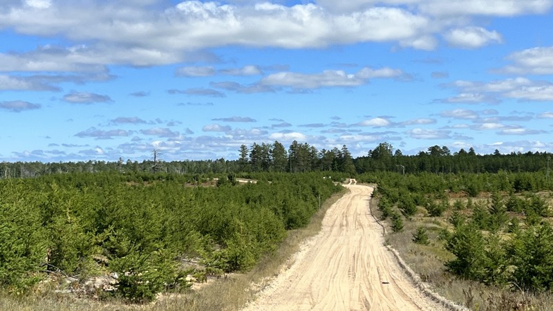
The Michigan DNR calls this the AJ Route. The road from the south starts as graded sand and dirt mix. Towards the north end, the trail turns to pavement, passing through a residential area. It connects with the A Route's most western portion that runs to De Tour on the far east end of the Penninsula. No camping. The trail is suitable for any car.
Updated: 10/15/2024
County Road 412
Deer Park, Michigan
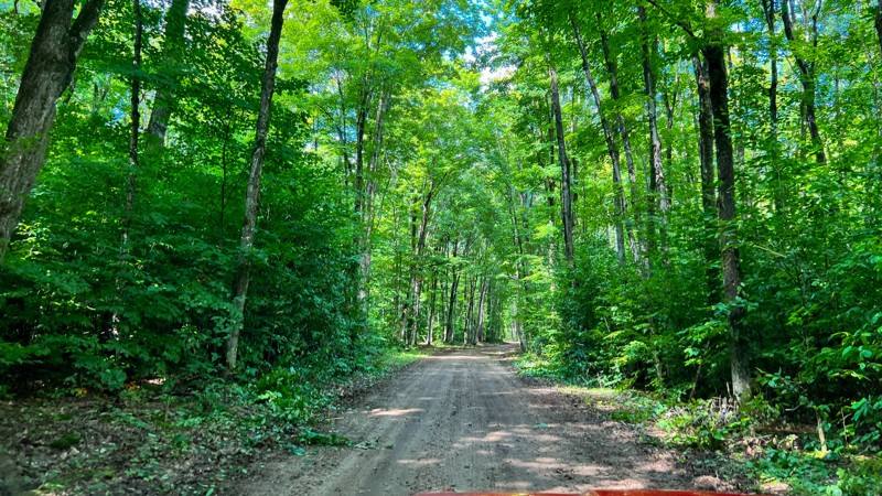
County 412 technically terminates at Crisp Point Lighthouse. For our purposes, we have made the final seven miles to Crisp Point Lighthouse its own trail guide because one may choose to take County Road 500, which is more smooth than this road, or Two Hearted Landing, which is a true 4WD road. This section of County 412 can be bumpy and have sand built up at the intersections, which could surprise a low-clearance vehicle. The area surrounding the road is prime habitat for moose, so keep an eye out! Camping is available on any of the surrounding roads.
Updated: 08/11/2026
Old Lakeshore Drive East West
Emerson, Michigan
This easy hard, packed dirt road is suitable for any vehicle. Be aware of potholes along the way. It does travel through a few short sections of private property owned by timber companies. While you can hunt and fish on timber company land, camping requires permission.. Having that knowledge, there were a few spots deemed worthy for dispersed camping, but know where you are. Several side roads exist, but they are not on the MVUM and lead into private property, so make sure you see forest service road markers before turning down any side road. Open 4/1 through 11/30.
Updated: 04/08/2025
FS 6014
Lilley, Michigan
Located within the Manistee National Forest, Road 6014 is a two-mile out-and-back two-track consisting of compacted dirt with some light sand in places. The trail is easily traversable by any high clearance vehicle and is open year-round. This gentle trek through dense woodlands is a great trail to seek solitude and enjoy a day on the dirt. There are no camping areas along this road.
Updated: 10/15/2024
Fox Point
Gould City, Michigan
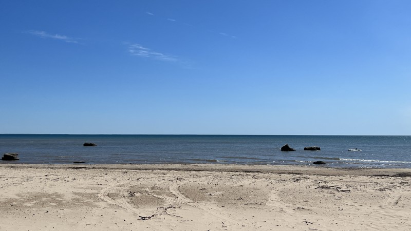
Fox Point is a quick out and back, providing walking access to the shores of Lake Michigan. It is an unnamed trail on the Michigan DNR Portal, and the name Fox Point is used here for documentation purposes. The road ends at a large turnout on which you can camp. At the end, you will notice a side-by-side trail going around the stone barriers, an illegal bypass. Do not drive down to the beach. Once at the beach, you will be treated with several large stones sitting in the water, good tent locations, and beautiful pristine beach views.
Updated: 10/15/2024
Keeley Road
Mio, Michigan
Keeley Road is surrounded by a jack pine and hardwood forest along the north side of Mack Lake. The Mack Lake ORV Campground and ORV trail also starts there. The road surface is primarily hard-packed dirt but can turn muddy with heavy rain or snow melt.
Updated: 10/15/2024
County Road 410
Deer Park, Michigan
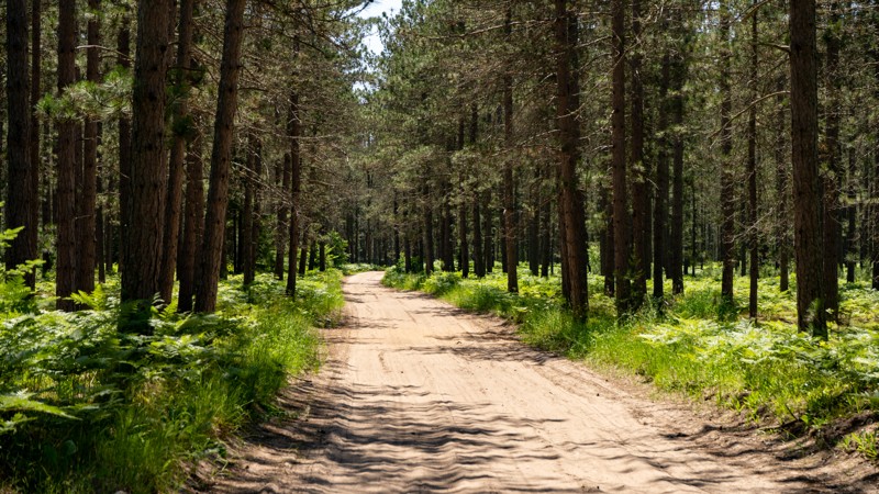
Depending on which direction you drive this gravel road, it starts or ends near the Perch Lake State Forest Campground. The campground offers several nice sites with privacy while others are stacked on top of each other. One dispersed site near the midpoint of the road looks to be coveted by many. County 410 is an excellent route two and from H37 and Crisp Point or the Mouth of Two Hearted River. Suitable for any vehicle with only minor layers of light sand on the road.
Updated: 10/15/2024
MA Route South
Ozark, Michigan
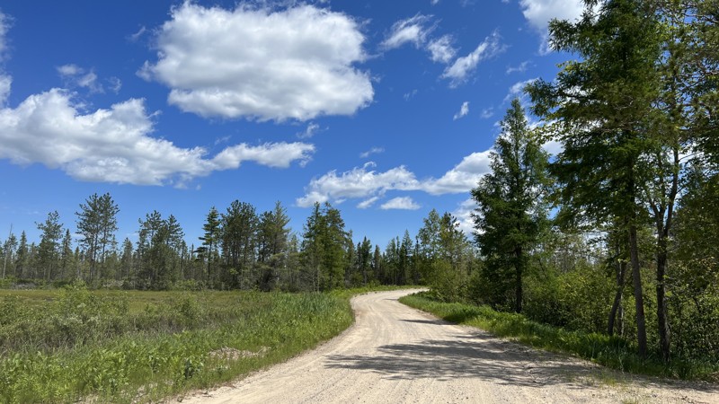
MA Route is a wide gravel road through some dense forest in the Michigan State Forest. Part of the State of Michigan ORV route system, MA Route runs south and ends at paved Schoolhouse Road north of Brevort, MI. MA Route can be used as a quick exit at the end of the Caffey Truck Trail. A Michigan ORV Route System permit is required for all vehicles on this road. No camping options.
Updated: 10/15/2024
Skyline Drive
Fourmile Corner, Michigan
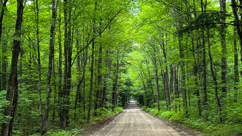
The road travels along a ridge with stunning marshland and pine trees views. At points along the way, you will be at eye level of the tree tops on each side of the road. It is mainly on private property with private residence roads off each side. No camping.
Updated: 10/15/2024
FR 2127
Tunis, Michigan
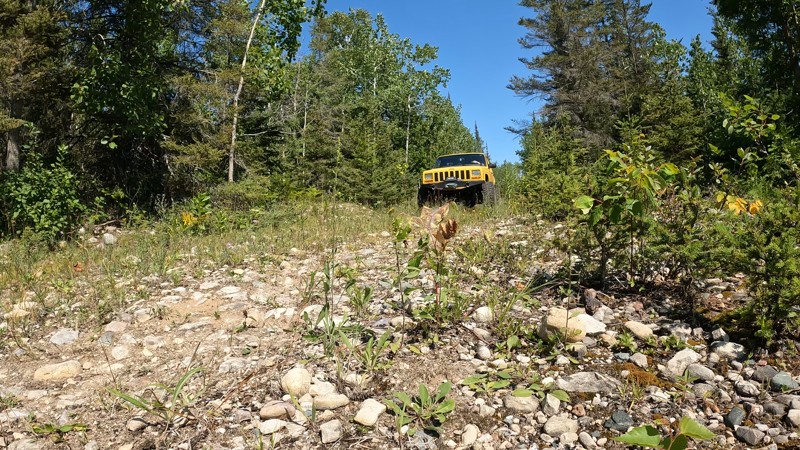
Forest Road 2127 includes a nice little Forest Service campground. The graded gravel road passes through the Ottawa National Forest. The Lake Sainte Kathryn campground is located at the beginning of the route overlooking its namesake, Lake Sainte Kathryn. The campground requires a fee and has wooded and lakeside campsites suitable for vehicles with rooftop tents. It passes nearby Grassley and LaCrosse Lakes. Mosquitoes are significant, so bring bug spray.
Updated: 09/06/2025
Nobel Trail on Drummond Island
De Tour Village, Michigan
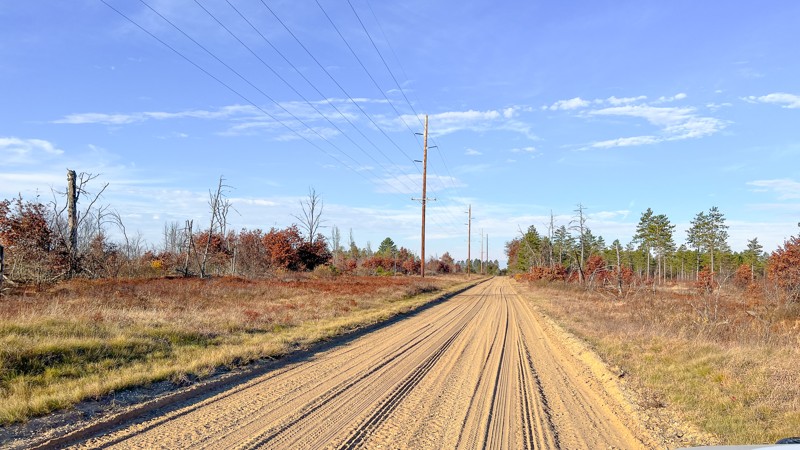
This trail is a short two-track that navigates through some woods and open meadows. It appears to connect from South Nobel Road to Truck Haul Road; however, at the north end of the trail onto Truck Haul Road, large boulders have been placed to block the trail. No camping was observed along the trail.
Updated: 10/15/2024
Berry Trail
Keno, Michigan
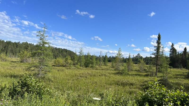
Berry Trail is a lengthy stretch running west from West Rose City Road just north of the Beaver Trail Campground.
About halfway through, the trail does swap over to the name West Marl Lake Road. This is an easy road that is hard-packed dirt with a layer of sand on top that seems to prevail in the area. There are multiple unnamed spurs off the road, as this area is very popular for OHV and snowmobiling during the winter.
Updated: 10/15/2024
FR 1300 (Segment 1)
Sidnaw, Michigan
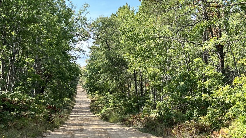
Forest Road 1300 is a well-maintained graded gravel road in the Ottawa National Forest. The road is level from start to finish. There are some open areas near old logging roads in which one could camp. FR 1300 is part of the route known as the "7 Hour Plane Crash" that goes from Crandon, WI, to Keweenaw Peninsula, MI.
Updated: 10/15/2024
Vaughn Road
Goodar, Michigan
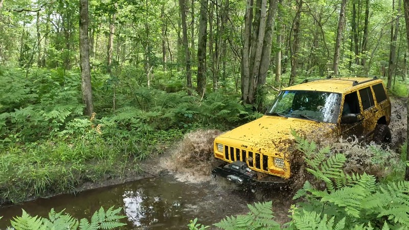
Vaughn is a county road with patches of sand, hard-packed gravel, and dirt. The soft patches of sand will sneak up on you. It's best to have a 4WD or AWD-capable vehicle if it becomes deeper through natural circumstances. The road travels under a tree canopy for most of the way, but there is a clear patch where logging took place
Updated: 10/15/2024
Taco Trail
Sanford, Michigan
This trail is part of the Gladwin Forest just off West Burns Road. It's mostly rough dirt and sand with some mud puddles and a few mud holes along the way. This trail could change in difficulty depending on the season and rainy conditions. No camping is found along the trail.
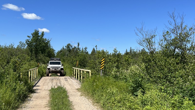
Updated: 10/15/2024
Charcoal Grade
Newberry, Michigan
Maps show the road continuing much further north. However, there is a gate at a private property that prevents further travel during the summer months. It does connect to other trails, and there are a few bogs to see along the way. No camping.
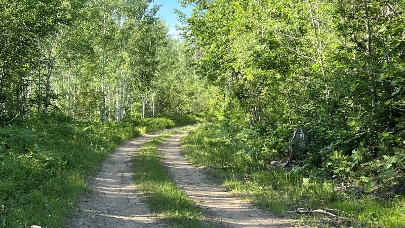
Updated: 08/11/2026
FR 1501
Frost, Michigan
Forest Road 1501 is a level dirt road in the Ottawa National Forest. Tree branch trimming may be required due to trees encroaching the road. Minimal camping found. This road is part of the route known as the '7 Hour Plane Crash" that goes from Crandon, WI, to Keweenaw Peninsula in Michigan's Upper Peninsula.
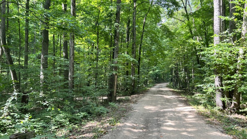
Updated: 10/15/2024
5008
Harrietta, Michigan
5008 runs just a little over a mile before it morphs into 5227 at its curve. Beautiful hardwoods and pine cover the road the entire way. One or two small roadside camps exist, with no privacy.
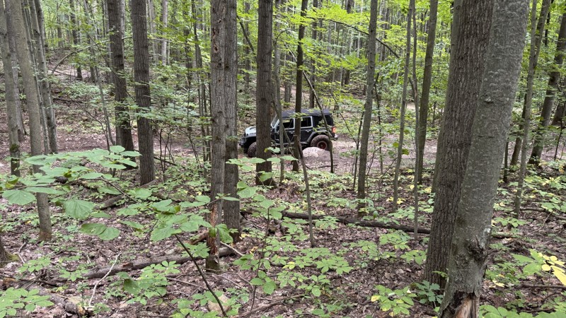
Updated: 08/11/2026
Pack a Lunch - Rocks and Valleys
Hatton, Michigan
This trail is great for beginners who are still getting a feel for the size of their vehicle and learning about tire placement. There are no mandatory challenging obstacles, but some tight bends may require a multi-point turn if not approached perfectly. Full-size vehicles will fit down this trail, but body damage is definitely possible as the trees are often very tight through the turns. Occasional rock piles add an opportunity for more excitement if desired. This is a fun and different way to move from the east end of the park back towards the middle without adding significant time versus taking the Round About trail.
About Rocks and Valleys:
Rocks and Valleys is a privately owned offroad park in mid-Michigan. The park offers numerous trails for drivers of all skill levels across 200+ acres. The trails make use of the natural terrain, winding up and down densely wooded hillsides, with additional man-made challenges placed along the way. The park is typically open from April through October but does host occasional winter wheeling events. Rustic camping is available on the property for those wishing to stay very local. It is recommended to check the Rocks and Valleys website for the latest information on rates, hours, payment methods, and special events.
Updated: 10/15/2024
FR 4128
Glennie, Michigan
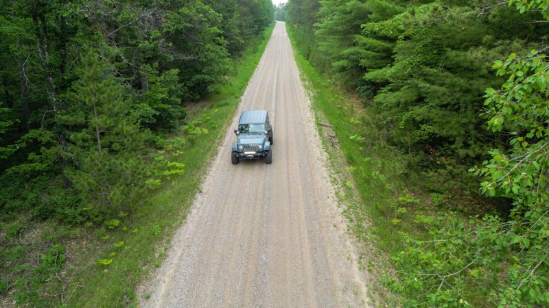
FR 4128 is a mix of gravel and hard-packed sandy trail. There are no technical aspects or obstacles, but the road can access dozens of spur trails and two tracks. Gas, groceries, and restaurants can be found in the small town of Glennie within minutes of either end of this trail. There are no campsites along this road.
Updated: 10/15/2024
FR 2009
Kenton, Michigan
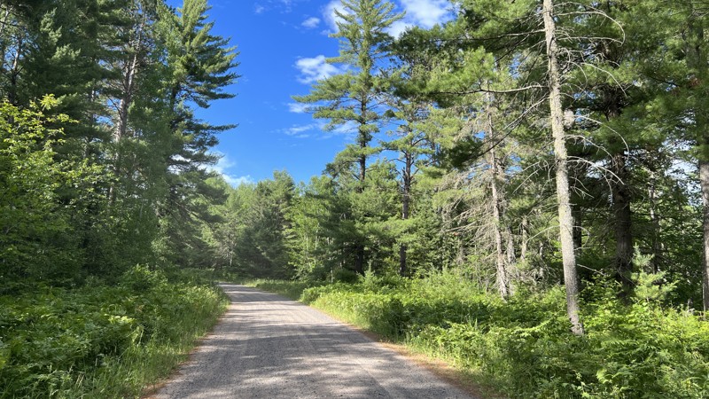
Forest Road 2009 is a maintained graded gravel road located in the Ottawa National Forest near Sidnaw, Michigan. The road is two vehicles wide and winds through the thick trees of the forest. This road is part of the driving route known as the "7 Hour Plane Crash" from Crandon, WI, to Keweenaw Peninsula, Michigan.
Updated: 10/15/2024
FR 2123
Alvin, Michigan
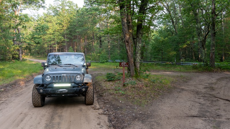
FR 2123 is a little trail with enormous payoffs! Swimming, fishing, kayaking, and history are good reasons to stay here. Nearby attractions include the Lumberman's Monument, multiple canoe liveries, and hundreds of miles of dirt roads and two tracks in the Huron National Forest.
There are 13 campsites, with several sites right on the beautiful Au Sable River. The featured campsite can easily accommodate five rigs and has easy access to the water. Camping here requires a permit which is available online.
Updated: 10/15/2024
Tahquamenon River Access
McPhees Landing, Michigan
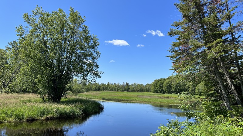
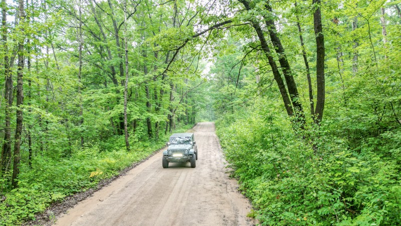
This route is legal per the Michigan DNR Portal. However, the road is unnamed or numbered. The name here is aptly given for documentation as it leads to a beautiful view and camping of the Tahquamenon River. Two campsites with impeccable views exist at the end of the road.
Updated: 10/15/2024
FR 4119
Curran, Michigan
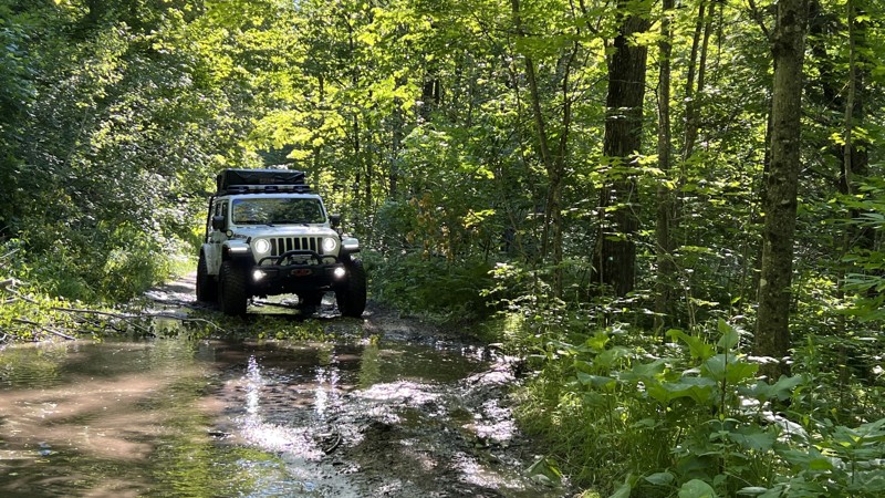
FR 4119 is a narrow road that winds through a hardwood forest, and most of the trail is covered by a thick canopy of trees. A large campsite near the west end can easily fit 2 or 3 vehicles. Near the west end are the Au Sable River Highbanks Overlook, a canoe landing with toilets, and a picnic area.
Updated: 10/15/2024
Richardson Road - Seiners Point Cutoff
Gould City, Michigan
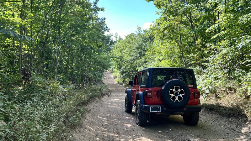
The trail is tight and overgrown with dry mud giving way to wet and sloppy mud. Heavy rains or early spring thaws could make this road impassable. Bring a saw for downed timber or low overhanging branches. This road is unnamed by the Michigan DNR but resides on their portal as an open route for any ORV. The name here is given for documentation purposes. Maps will show the road connecting to South Gould City Road, but it does not. If taking Richardson Road, this will connect you to the road to Seiners Point. A few open areas where one could set up camp exist along the route.
Updated: 10/15/2024
St. Helen to Emery Road Connector
St. Helen, Michigan
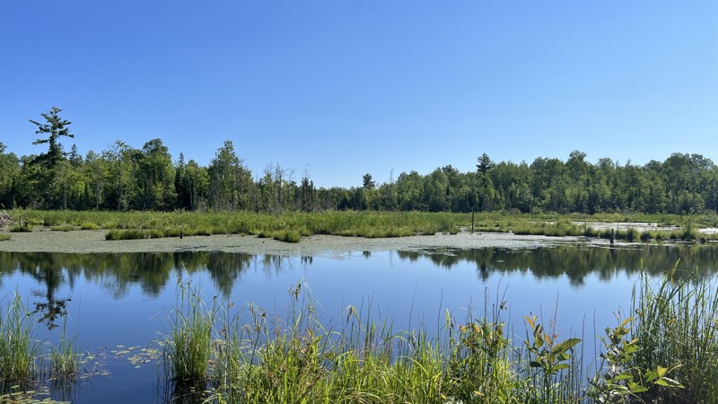
This trail connects St. Helen Little Loop to Emery Road. Anticipate deep sand and plenty of fast-moving side-by-sides and motorcycles. 4WD is recommended due to the sand. Anticipate plenty of washboard whoops that will test your shocks. It also operates as a groomed snowmobile route from 12/1 to 3/31. No camping opportunities were found along this route.
Updated: 10/15/2024
OC Route North
Lake Mine, Michigan
Mostly a gravel road, with a short patch of pavement on the north end that follows the Michigan DNR OC route. It lacks interesting features, but it follows Ottowa National Forest Roads through a beautiful pine forest at one point where active logging occurs. No visible camping opportunities along the route, but on the side roads in the forest, there could be a few.
Updated: 08/11/2026
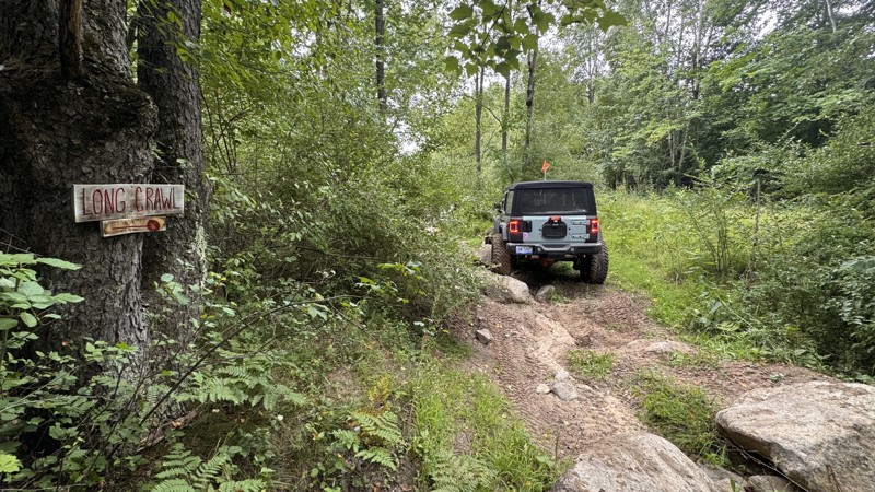
Long Crawl - Rocks and Valleys
Hatton, Michigan
This trail runs down the eastern edge of what the park map calls the "Obstacle Area." It is a straight shot with several large boulder piles along the route. The rocks will move under your tires, and holes are large enough to swallow 40" tires. Getting hung up your differential is likely, and just like the rest of the park, the surrounding surface is a mix of sand and soft dirt with limited traction, making attempts to drag yourself off the rocks very difficult. There is wide open space adjacent to the trail should you wish to attempt only a portion or bail out early. Winch points, however, are limited, so it would be advisable to only attempt this trail if a second vehicle is present with a tow strap or to act as a winch anchor.
About Rocks and Valleys:
Rocks and Valleys is a privately owned offroad park in mid-Michigan. The park offers numerous trails for drivers of all skill levels across 200+ acres. The trails make use of the natural terrain, winding up and down densely wooded hillsides, with additional man-made challenges placed along the way. The park is typically open from April through October but does host occasional winter wheeling events. Rustic camping is available on the property for those wishing to stay very local. It is recommended to check the Rocks and Valleys website for the latest information on rates, hours, payment methods, and special events.
Updated: 10/15/2024
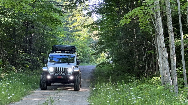
Richardson Road
Corinne, Michigan
Richardson Road is one of the main roads into the Sault St. Marie State Forest Area area along Lake Michigan. Compared to the others in the area, this road is better traveled but still poses issues with vegetation encroaching on the trail. It has plenty of open places to camp but very few spots with existing fire rings.
Updated: 08/11/2025
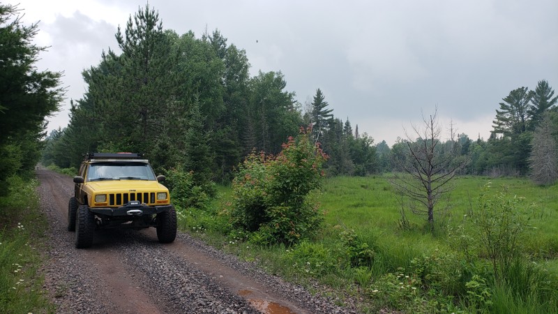
Iron Ore Heritage Trail
Republic, Michigan
The Republic to Humboldt section of the Iron Ore Heritage Trail is an approved Michigan DNR-designated ORV Route (Routes F and C), forming part of Michigan’s extensive Upper Peninsula off-road network. This segment follows a historic rail grade and is open to licensed ORVs, including ATVs, side-by-sides, and dirt bikes, with a required Michigan ORV license and trail permit. The trail offers a wide, mostly flat natural surface of crushed limestone, maintained for two-way ORV traffic and accessible to stock machines. With gentle grades and few obstacles, it’s ideal for riders looking for a scenic, low-difficulty route that connects Republic to nearby trail systems and forest roads. Riders can expect a quiet, wooded environment with occasional soft or rutted sections, depending on recent weather conditions. There are no designated campsites along the trail.
Updated: 10/15/2024
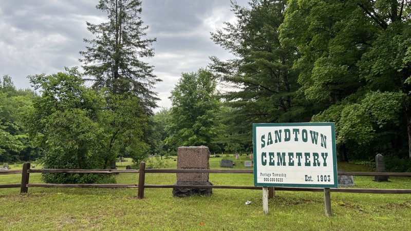
Sandtown Road ( A Route)
Curtis, Michigan
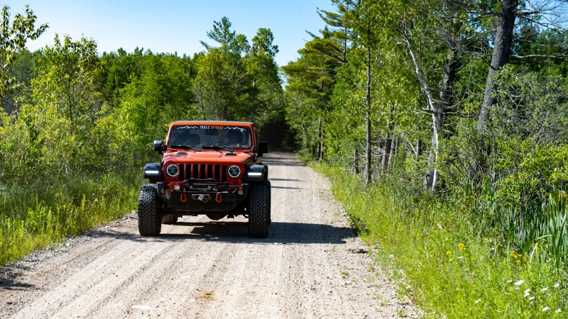
Sandtown Road (Country 1140) is the western portion of what the Michigan DNR calls the A Route. The A Route travels from this point east to De Tour on the eastern limit of the Penninsula. This scout guide includes all of the road, but the turn-off to continue the A Route is only a 1/4 way in. Very much a washboard road with potholes formed into hard-packed sand. No camping.
Updated: 10/15/2024
Dinkey Line Road
Rexton, Michigan
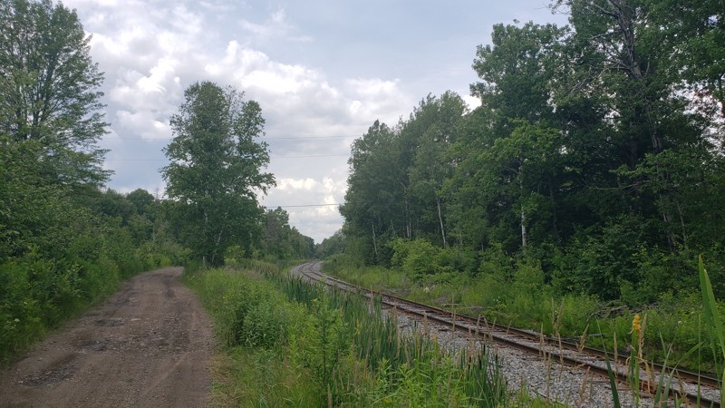
Dinkey Line Road is a narrow dirt and sand trail that begins at Rexton, MI. It is part of the State of Michigan OHV route system, known as the A Route. Dinkey Line Road ends at the beginning of Fisher Road. Remain on the trail as the surrounding land is private property. A Michigan ORV Route System permit is required for all vehicles on this road.
Updated: 08/11/2025
Soo Line Railroad Trail
Republic, Michigan
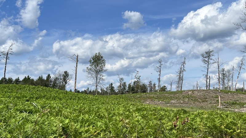
The Republic–Champion ORV Route, also known as the Soo Line Railroad Trail, follows a section of historic rail grade through Michigan’s western Upper Peninsula. Designated as ORV Route C by the Michigan DNR, this trail begins as a wide gravel path near Republic and narrows to a forested two-track as it approaches Champion. The trail is open to ORVs up to 72″ wide and is suitable for ATVs, side-by-sides, and dirt bikes.
The route winds through a mix of pine and hardwood forest, crossing several small bridges and passing by ponds, bogs, and creeks. The former railroad bed provides a consistent, gently graded surface, making it an easy ride with minimal elevation change. There are no developed campsites along the trail. This trail is ideal for riders seeking a quiet, scenic route with light terrain and a touch of local history.
Updated: 10/15/2024
Hoy Road
Rose City, Michigan
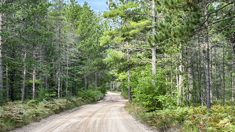
Hoy Road connects several other east-west forest roads in this area. It is comprised of gravel and sand. The south end is more forested, while the middle and the north sections have been logged. No camping opportunities were found.
Updated: 10/15/2024
County Road 374
Deer Park, Michigan
A short, quick road leads to the Red and Green Bridge State Forest Rustic Campground. Beware, there are plenty of what looks to be locations to disperse camp along the road, but they are all signed as no-camping since they are within the 1-mile radius of an established state-run campground.
Updated: 08/11/2026
Big Ugly - Rocks and Valleys
Hatton, Michigan
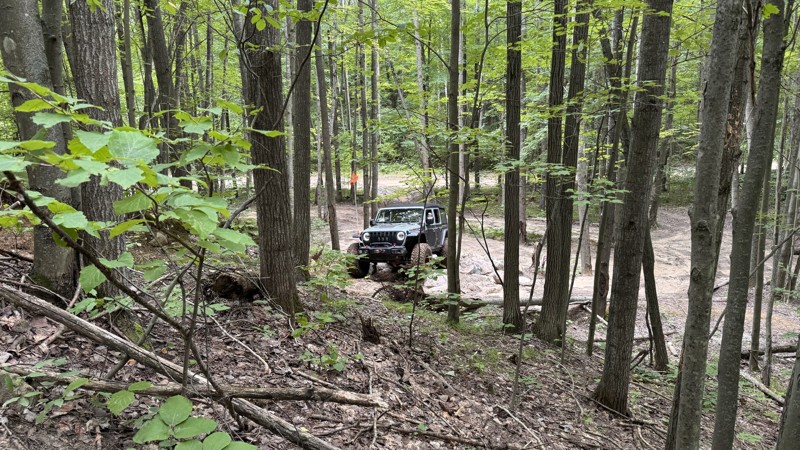
Big Ugly is presumably named for its gatekeeper obstacle. The man-made event consists of boulders, old implement tires, and logs. To keep things interesting, the area immediately ahead of the obstacle typically holds some shallow water as well. Once onto the trail, drivers will weave in between trees as they climb and descend the hills. Several more rock obstacles await, and a few offer bypasses, although they shouldn't be necessary.
About Rocks and Valleys:
Rocks and Valleys is a privately owned offroad park in mid-Michigan. The park offers numerous trails for drivers of all skill levels across 200+ acres. The trails make use of the natural terrain, winding up and down densely wooded hillsides, with additional man-made challenges placed along the way. The park is typically open from April through October but does host occasional winter wheeling events. Rustic camping is available on the property for those wishing to stay very local. It is recommended to check the Rocks and Valleys website for the latest information on rates, hours, payment methods, and special events.
Updated: 08/11/2025
North Fence River Road
Michigamme, Michigan
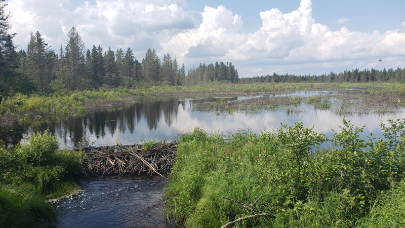
North Fence River Road begins where the pavement ends in Michigamme, starting as a maintained gravel road before narrowing into a more rugged dirt road that winds through the dense forests of northern Marquette and Iron counties. This scenic route serves as a connector through remote state forest land, following parts of the Fence River and offering access to a network of logging and forest roads.
The road travels through a mix of pine trees and hardwoods, with views of small tributaries, wetland areas, and gently rolling terrain. Multiple river crossings and wildlife sightings add to the experience. The route is rated easy, with a gravel and dirt surface. It’s suitable for high-clearance ORVs and stock 4x4 vehicles. While there are no technical obstacles or steep grades, good ground clearance is recommended.
There are no developed campsites directly along the road, but the Deer Lake State Forest Campground is nearby.
Updated: 08/11/2025
New DNR Road
Balsam, Michigan
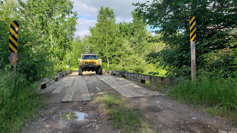
New DNR Road is a remote two-track in Michigan’s Crystal Falls State Forest. It offers a narrow, unpaved route through dense Upper Peninsula woods. It connects to nearby forest roads and designated snowmobile Trail 18, with occasional muddy or soft sections.
Best suited for high-clearance or ORV vehicles, the road has no designated campsites but provides access to dispersed camping areas and surrounding backcountry routes.
Updated: 08/11/2025
Camp 2 Road
Republic, Michigan
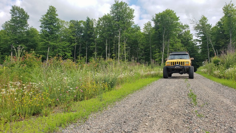
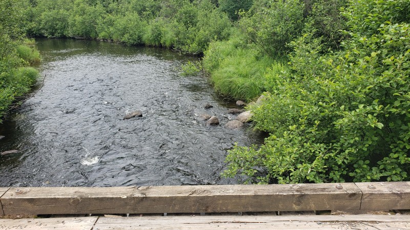
Camp 2 Road is a forest road that winds through the dense hardwoods of Michigan’s Upper Peninsula, just north of Camp One Road. The road spans approximately 4 miles and features a gravel surface with minimal elevation changes, several puddles, and minor washouts in certain areas, particularly after rainfall. While there are no designated campsites along the road itself, dispersed camping is permitted within the surrounding Crystal Falls State Forest area.
Updated: 08/11/2025
Camp One Road
Floodwood, Michigan
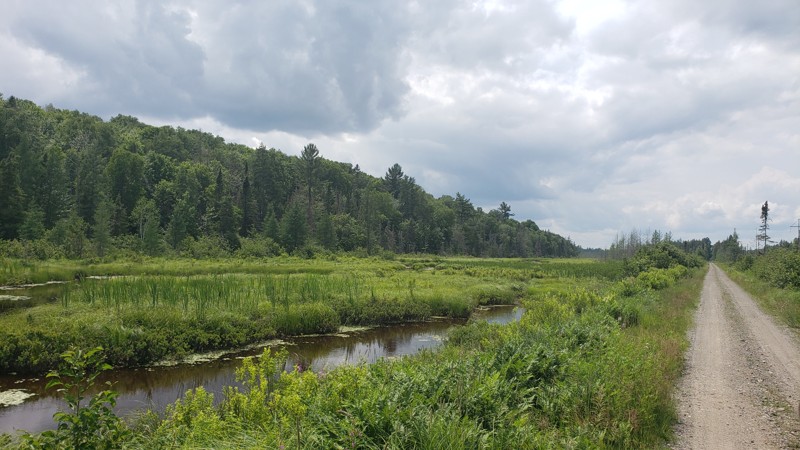
Camp One Road is a narrow, unpaved forest road in Michigan’s Upper Peninsula, passing through remote terrain within the Crystal Falls State Forest Area. The surface is primarily gravel or dirt and may become rough or muddy depending on seasonal conditions. While there are no designated campsites along the road itself, dispersed camping is permitted within the surrounding Crystal Falls State Forest Area.
Updated: 08/13/2025
ORV Route C - Champion to Michigamme
Champion, Michigan
The Champion to Michigamme segment of ORV Route C is a Michigan DNR-designated trail that follows the historic Soo Line rail grade through the forests of northern Marquette County. It offers a smooth, scenic ride with gentle grades and minimal obstacles, great for riders seeking a relaxed off-road drive through classic Upper Peninsula terrain. Along the way, expect dense woods, quiet creek crossings, and the occasional glimpse of wetlands or wildlife. As the western end of the trail approaches Michigamme, signage restricts access to ORVs 65" wide or less, marking the end of the route for anything wider.

Upgrade your Membership
Unlock all of the details on every Trail Guide and Scout Route.
Start a 7-day Free TrialCommunity
Partners

