







By clicking "ACCEPT", you agree to be the terms and conditions of each policy linked to above. You also agree to the storing of cookies on your device to facilitate the operation and functionality of our site, enhance and customize your user experience, and to analyze how our site is used.
Arizona Off-Road Trails
373
Total Trail Guides 359

4679
Detailed Waypoints 676
Try a Free 7-Day Trial and unlock it all
Start a Free Trial Most Recent Trail Reviews
No Rating
Open
Visited: 09/23/2026
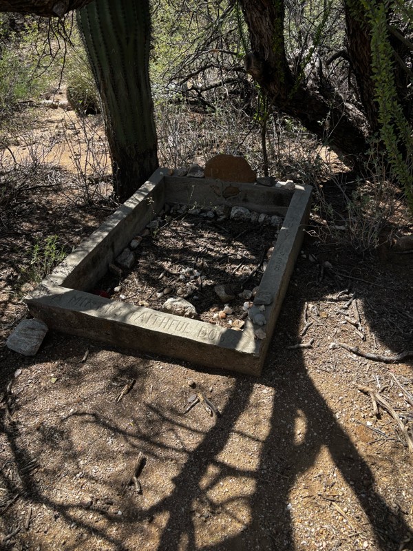
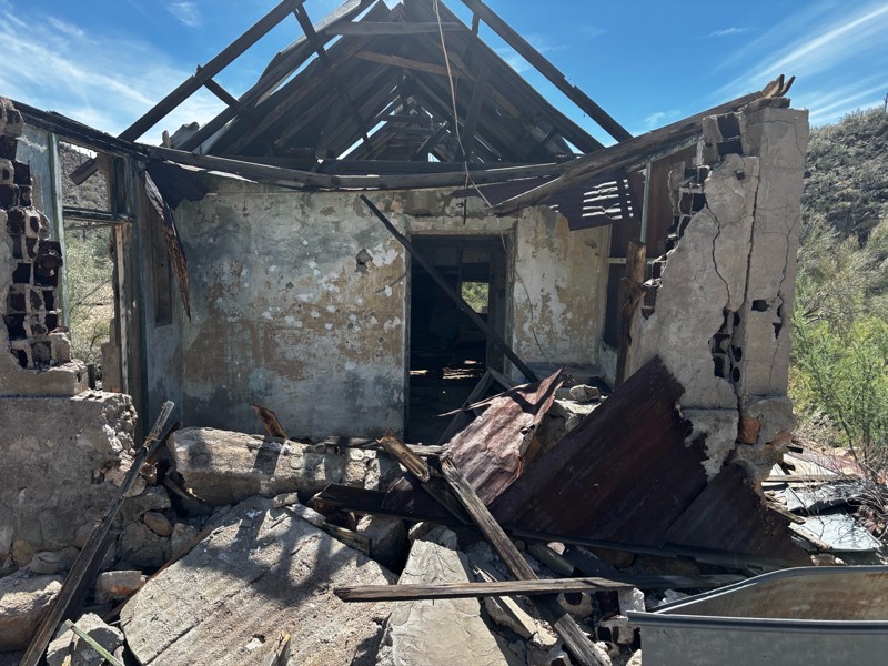
Gets a little technical at the end but the difficulty is spot on.

KR
Keith Ringiesen
No Rating
Open
Visited: 09/22/2026
The road was very smooth with the normal views running through the pines. Reminded us of many of the trails in the White Mountains.
T
Tom
No Rating
Open
Visited: 09/22/2026
Even with all of the recent rain, this trail was mostly dry ... a few ruts had water in them. Looks like there was a bad washout at the northern end of the trail on Apache Maid between waypoints 7 an...
T
Tom
No Rating
Open
Visited: 09/22/2026
Still an easy trail ... even after all of the rain.
T
Tom
Rated 4/5
Open
Visited: 09/22/2026
Hard pack, easy forest service road that is a great back way to the North Rim of the Grand Canyon.

Tyler D’Hulst
Rated 4/5
Open
Visited: 09/22/2026
Spring Canyon is a beautiful drive. We didn’t go out to the cabin but used this western section of road coming back from Crazy Jug

Tyler D’Hulst
Rated 4/5
Open
Visited: 09/22/2026
We took this out to Crazy Jug. The northern section is hard packed forest service road. Not difficult. Very scenic drive through the ponderosas.

Tyler D’Hulst
Rated 5/5
Open
Visited: 09/22/2026
View point is spectacular! Trail was easy going out, no obstacles at all. Saw a Toyota Camery at the viewpoint.


Tyler D’Hulst
Rated 3/5
Open
Visited: 09/22/2026
An alternative route out to Crazy Jug Point. It’s easy and can be scenic in areas. I’d recommend West Ryan out to Crazy Jug though.
Tyler D’Hulst
Rated 3/5
Open
Visited: 09/22/2026
A quick connector trail through the burn patch.
Tyler D’Hulst
Rated 5/5
Open
Visited: 09/20/2026
Leviathan Mine trail is a full day trip. Though it is only 20 miles in length the travel is slow and rough. Majority of the trail you will be going between 5-10 MPH. Then once at the end it connects w...



Eric Gartin
Official Crew
Rated 5/5
Open
Visited: 09/19/2026
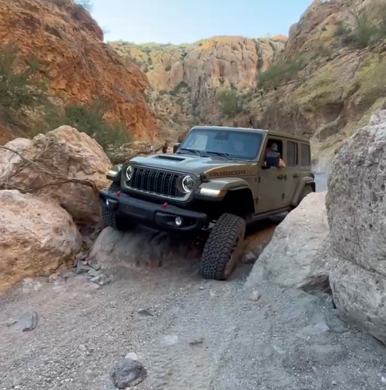
The harder obstacles aren’t that bad anymore. With the amount of sand and gravel that has washed into the canyon. The main constraint is the wedge between the 2 rocks; but I found it easy if you stick...
BC
Brian C
Rated 4/5
Open
Visited: 09/19/2026
Simple road, well graded today. Many mountain bikers coming down from the West out of Breezy Pines. Not too many people out until approaching Senator Hiway. We went East to West as I think thats a bet...



Jeff Burnett
Rated 3/5
Open
Visited: 09/19/2026
The trail itself is not spectacular, it's pretty flat across the plains. However, driving up to the overlook and seeing a huge gaping hole in the ground is a great juxtaposition to the flat trail. The...
Tyler D’Hulst
Rated 3/5
Open
Visited: 09/19/2026
A nice trail ride from the main road down off the plateau. It's graded forest service road until the switchbacks. The switchbacks themselves are not difficult, road is not graded. This section has bee...
Tyler D’Hulst
Rated 3/5
Open
Visited: 09/18/2026
The end of the trail is not well marked, and can cause confusion. Also, vehicle passes are required for all backcountry routes within the Lake Mead National Recreation Area.
Eric Gartin
Official Crew

Ted Whisler
No Rating
Open
Visited: 09/17/2026
Nice ride west side a little rocky but rating is true to #2


Ted Whisler
Rated 3/5
Open
Visited: 09/15/2026
A nice drop off the plateau heading towards Marble Canyon. Not a difficult road. Road is weathered but not challenging.
Tyler D’Hulst
No Rating
Temporary Closure
Visited: 09/15/2026
Road closed due to multiple washed out wash crossings after the turn off to go up the mountain. "Road Closed" sign put out by BLM on trail.
Tyler D’Hulst
No Rating
Temporary Closure
Visited: 09/15/2026
After the turn off to head up the mountain there are multiple washed out wash crossings. A "Road Closed" sign has been put out by the BLM.
Tyler D’Hulst

Ben Ruddell
Official Crew
Rated 4/5
Open
Visited: 09/14/2026
Bogles Ranch Road is a great Sunday afternoon drive type of dirt road that climbs up in elevation and gives some spectacular views of the surrounding area. The first half passes through State and Priv...


Eric Gartin
Official Crew
Ben Ruddell
Official Crew
Rated 3/5
Open
Visited: 09/14/2026
Antares Road is an excellent way to travel from Route 66 to the eastern portion of the Lake Mead National Recreation Area. This wide county road is well maintained with minor washboarding, most of whi...


Eric Gartin
Official Crew
Rated 3/5
Open
Visited: 09/14/2026
Hackberry road is a wide dirt road with minimal erosion damage and washboarding. There are a couple of larger washes that cross Hackberry road creating wide stretches of loose sand which can cause iss...


Eric Gartin
Official Crew
Rated 3/5
Open
Visited: 09/13/2026
This is a very rough, rocky, & slow going trail. Expect around 4+ hours for the trail & another hour to get the highway. One of those trails I'm happy I did but I wont be back personally. High clearan...

Brandon W
No Rating
Open
Visited: 09/12/2026
I think the rating is spot on. The ruts and washouts at the beginning are not as bad and if you hug the inside of the shelf road they can be avoided. The middle part is same general sandy wash with ov...



Greg Page
Rated 4/5
Open
Visited: 09/11/2026
Ran this trail as part of a larger loop. Trail is in great shape. Easy for standard 4x4 with no lift. Passengers can do it until maybe the very end by the lake where the road gets rocky and washed out...


Jeff Burnett
Rated 5/5
Open
Visited: 09/10/2026
This is one of my favorite scenic trails in the area. The trail is easy to travel, but does have some optional short trails that will test your vehicle. The views from the Grand Wash Cliffs of the Hua...


Eric Gartin
Official Crew
Rated 3/5
Open
Visited: 09/07/2026
This trail by itself is nothing special. It is mostly used as an access road to get to the more technical trail such as Homecourt, Twister, and Waynes World. This is a great trail for the beginner to ...


Eric Gartin
Official Crew
Rated 3/5
Open
Visited: 09/07/2026
This trail is an enjoyable alternate route when traveling on Blake Ranch Road (7163). The trail is easy with only a handful of spots with erosion damage. The few established camping sites appear to n...


Eric Gartin
Official Crew
Rated 5/5
Open
Visited: 09/07/2026
Ran this trail from Boynton Pass Road to Loy Butte Road (opposite direction from what is listed). Ran into a few rental ATVs and a couple of Jeeps heading the opposite way. This was a fun trail wit...



Daniel Macioce
Rated 5/5
Open
Visited: 09/07/2026
This trail was a lot of fun, plus the views were amazing. I ran the trail in the order posted, starting at the south trailhead and finishing at the heritage site. Past a motorcycle, a few jeeps and a...


Daniel Macioce
Rated 4/5
Open
Visited: 09/07/2026
Nice trail, ran West to East. For some reason the map shows this a a one-way trial, East to West. That is not the case, it is a two way trail. Was pretty washed out starting around mile 12. Plenty roc...


Jeff Burnett
No Rating
Open
Visited: 09/06/2026
New trail for me. You didn’t know what it would throw at you around every corner which is why you try to find new trails or old forgotten ones
KB
Kory Burden
Rated 5/5
Open
Visited: 09/06/2026
The trail is no joke—steep, narrow, and technical enough that you’ll want to be comfortable with off-camber shelf roads, rocky terrain, and washouts that will test your vehicles articulation. The rew...



Bobby Rumbaugh
Official Crew
Rated 5/5
Open
Visited: 09/06/2026
Fun trail if you don't want to do pyeatt draw itself. Ran this trail 3yrs ago and definitely a little more erosion but, still any truck or suv with good factory ground clearance can do it. From previo...
JM
James m
Rated 4/5
Open
Visited: 09/06/2026
Ran this trail from I-17 to Sedona. Extraordinary views descending into Sedona. As others have noted, there are lots of rock on the trail, making it slow going. Passed a large number of Pink Jeeps ...


Daniel Macioce
Rated 4/5
Open
Visited: 09/05/2026
This one definitely changed over the last few years. The southern section has some legit, steep, off-camber sections. YOU NEED experience, backup, and a capable vehicle on this one now. It's not supe...


.jpg)
Bobby Nelson
Official Crew
Rated 4/5
Open
Visited: 09/05/2026
Another amazing time on this scenic crossover. We came in from Walnut Canyon and finished out on Price Road after about 6 hours. A challenging and hot day for the old TJ. Rincon Road has evolved into ...


Bobby Nelson
Official Crew
Rated 4/5
Open
Visited: 09/05/2026
We started exactly at sunrise to try and beat the heat. We planned to crossover to Box Canyon and out on Price Road. It ended up taking us 6 hours, even with all the photos and filming we did. A chall...


Bobby Nelson
Official Crew
Rated 5/5
Open
Visited: 09/04/2026
We recently ran Four Peaks after the monsoon rains. Here’s what we found and what to expect if you’re planning to run it. Have a GR8 day!

Jeep 4 Dirt
Rated 5/5
Open
Visited: 09/04/2026
Breathtaking views. Definitely don't rush through the trail. Devil's staircase was a bit slippery but awesome. A few tight stops here and there, but a trail that's a must on anyone's to do list.



Christopher Bradley
Rated 4/5
Open
Visited: 08/30/2026
Id say this is a 3.5 to 4 trail. There are some obstacles, but nothing you really need to think hard about how to approach. If you send your vehicle at it in 4 low you'll get through everything.



Justin Holsinger
Rated 4/5
Open
Visited: 08/28/2026
Rim Road (FS300) West to East. Very well groomed gravel forest road. Accessible by just about any vehicle thats not been lowered. Who does that anyway? Scenic views the whole route. Hard to believe on...


Jeff Burnett
Rated 4/5
Open
Visited: 08/28/2026
Not a bad road but it was crowded with sxs and vehicles towing campers. Hard to rate 5 stars for a busy road. Super easy any vehicle can do this. Part is paved near the freeway but the rest is gravel.

Tony Rockwell
Rated 4/5
Open
Visited: 08/28/2026
I rated 4 stars just due to the volume of sxs & camper trailers on the road.
Easy drive, any car can do this.
Ran from sheep springs to munds park, see other reviews for full route.

Tony Rockwell
Rated 4/5
Open
Visited: 08/28/2026
I ran Bar M in reverse to get to this trail. Then headed toward Casner Park Road. (See reviews I did on each of those)
Nice easy trail that is less rough than Bar M.
Nice drive through trees.


Tony Rockwell
Most Popular

Updated: 10/15/2024
Rankin Ranch
Swansea, Arizona
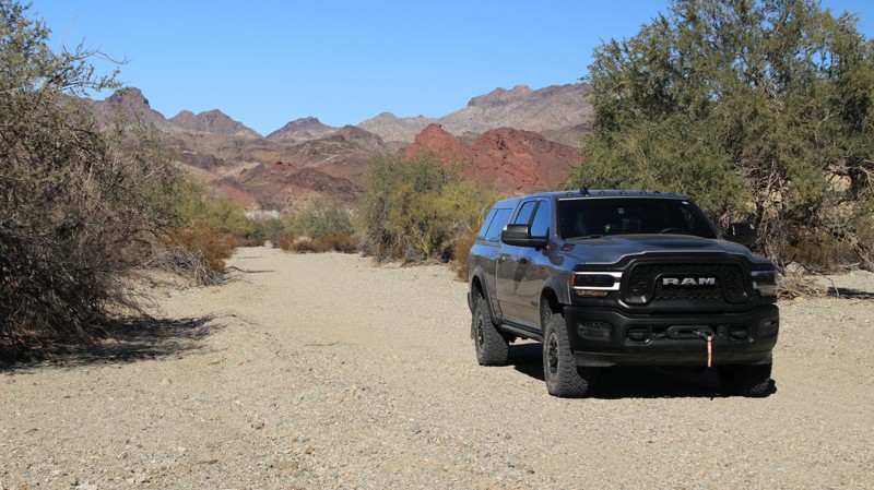
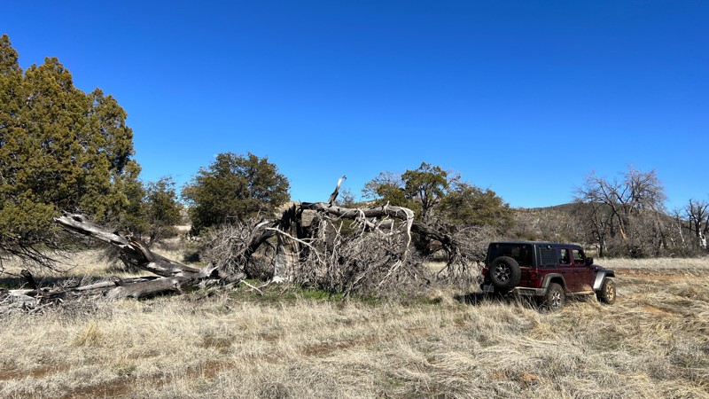
What begins as a well-maintained dirt road off Barnard Pipeline Road quickly drops into a sandy-bottomed canyon. There’s evidence of road maintenance as the trail twists and turns through the scenic little canyon. The trail ends abruptly at a parcel of private property and a locked gate, complete with creative warnings against trespassing.
Though sandy, the road is passable for 2WD. Camping in the wash is possible but not advisable since the area is prone to flash floods.
Updated: 10/15/2024
Tonto FR 3345
Tonto Basin, Arizona
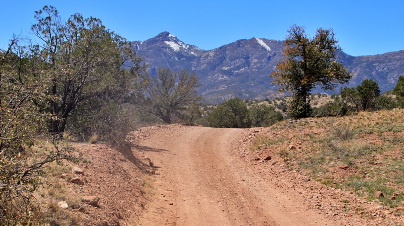
FR 3345 is a very short loop trail off Edward's Park, FR 422. FR 3345 provides access to an Arizona Game and Fish wildlife water catchment, a good place to pull off the main trail to take a break. Due to its proximity to the water catchment, it cannot be utilized for camping.
Updated: 10/15/2024
Upper Gardner Canyon
Greaterville, Arizona
Upper Gardner Canyon passes through an oak, juniper, and sycamore forest hugging Gardner Creek. Along the way are five rocky bottom creek crossings and eleven shady campsites. The largest campsite sits at the trailhead and can host a larger group. The remainder of the campsites are more suited to single vehicles. The trail ends at a turnaround area just past a wire gate.
Updated: 10/15/2024
Corral Lake
Jacob Lake, Arizona
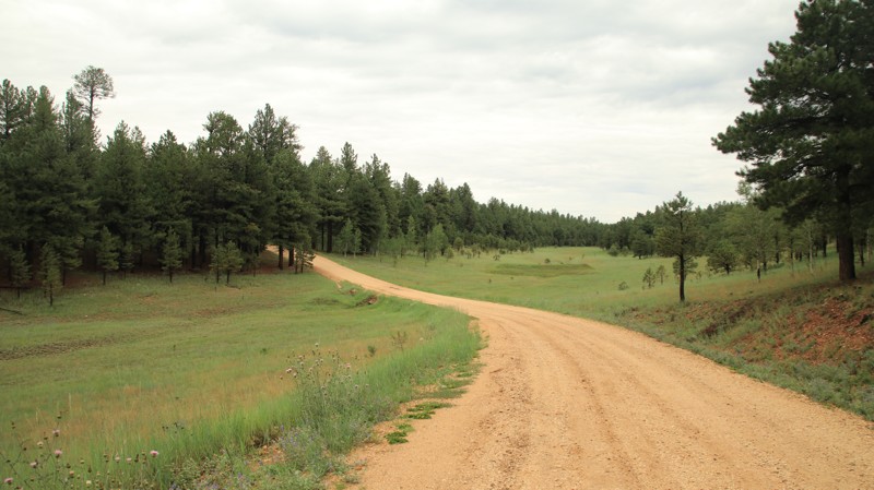
Corral Lake derives its name from a large limestone sinkhole on its western end. Look closely through the trees, and you can see it. The trail goes through a pretty pine forest with open grassy meadows and glades. Dispersed camping is abundant and popular. There's a large camping area near the Half Mile Access Road North intersection.
Updated: 10/15/2024
Dye Ridge Road
Christopher Creek, Arizona
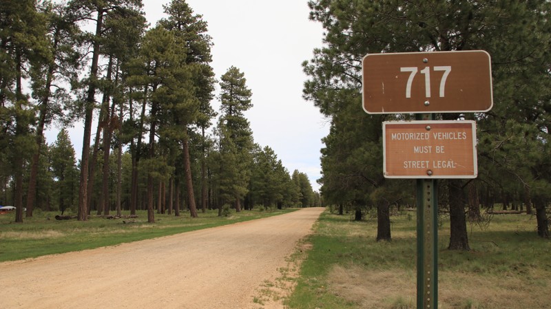
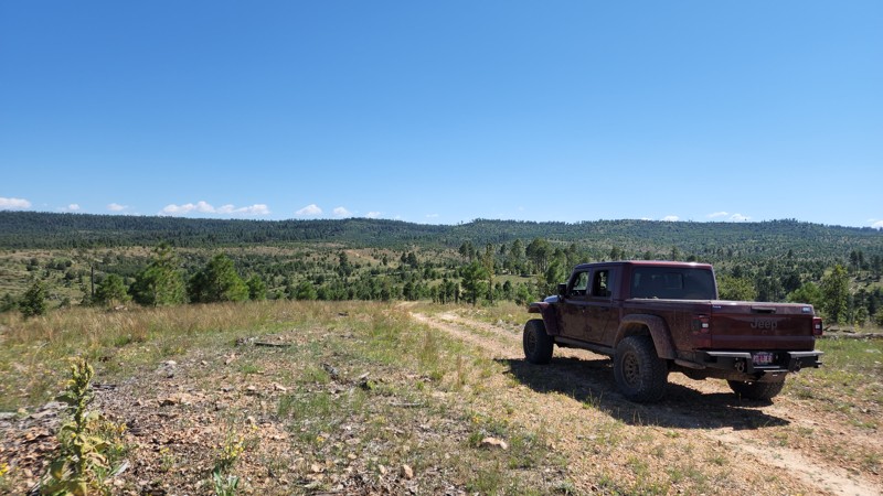
Dye Ridge Road, FR 717, is packed dirt with a few loose rocks and easily driven by any vehicle. Dispersed camping is abundant along the southern portion of the trail, with shaded sites large enough for RVs and large trailers and enough smooth ground for tents. The northern half of the road is almost park-like, with brush and smaller trees crooked for fire prevention and forest management. Spur trails lead out to campsites set well off the main road.
Updated: 10/15/2024
FR 9563V
Forest Lakes, Arizona
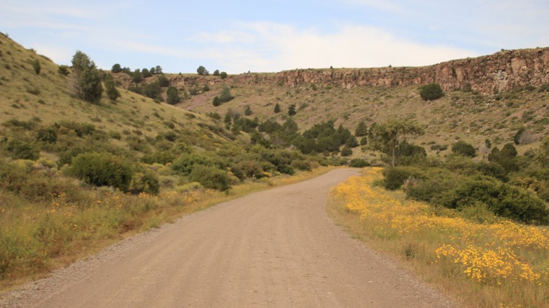
FR 9563V is a short trail that takes you through a small valley and then on top of a hill with a nice view. No noticeable camping. The trail links to FR 9564A through a barbed wire gate. There is the chance for pinstripes. The trail along the top of the hill just kind of dead ends and disappears.
Updated: 10/15/2024
Warm Springs Pit
Feaster, Arizona
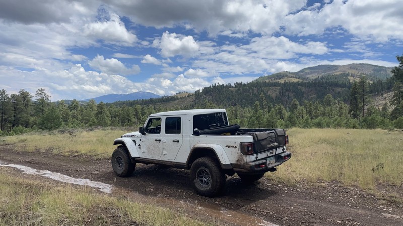
Warm Springs Pit is a short connector off Highway 180 to Milligan Valley and Sipe White Mountain Wildlife Refuge. The trail climbs a small scenic canyon bordered by cap rock plateaus. The trail ends at a locked gate leading to a gravel pit. There are no campsites along this short trail.
Updated: 02/19/2025
Old 90 Road
Parks, Arizona
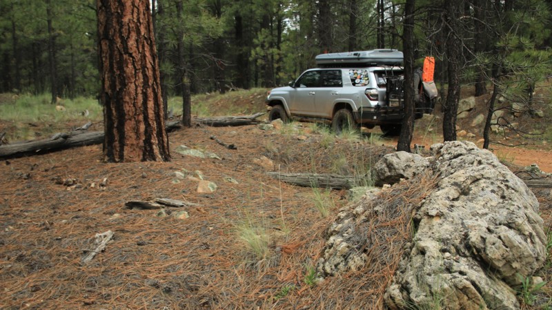
Old 90 is a straight-through connector road that travels through two national forests. Confusingly, the Kaibab National Forest calls this road KNF90 on its side of the boundary, but the Coconino National Forest calls this road 760A on its maps and labels it 767 with signage on the ground. The road travels west to east and is an occasional scenic drive along Juniper Ridge and Bull Basin Mesa. It is primarily used to access many other forest roads in the area that make up the Kendrick Peak trail system. There are a small number of dispersed mountain view campsites accessible to overlanders on the spur roads such as 128, but no campsites directly on KNF90 itself. In dry conditions, the trail is an easy drive, but during monsoon season it can get quite muddy and may be challenging when snow resides on the ground as well. There are one or two spots on the eastern end of the trail that require high clearance and possibly 4x4 due to ruts created by water runoff.
Updated: 10/15/2024
St Joe Ridge
Forest Lakes, Arizona
Set in the vast Ponderosa Pine forest of the Sitgreaves National Forest, St Joe Ridge runs between Heber Wildcat in the south and Nelson in the north. Plenty of shady dispersed campsites will accommodate multiple rigs of any size, tents, and hammocks.
Updated: 10/15/2024
Fenway Road
Mohave Crossing, Arizona
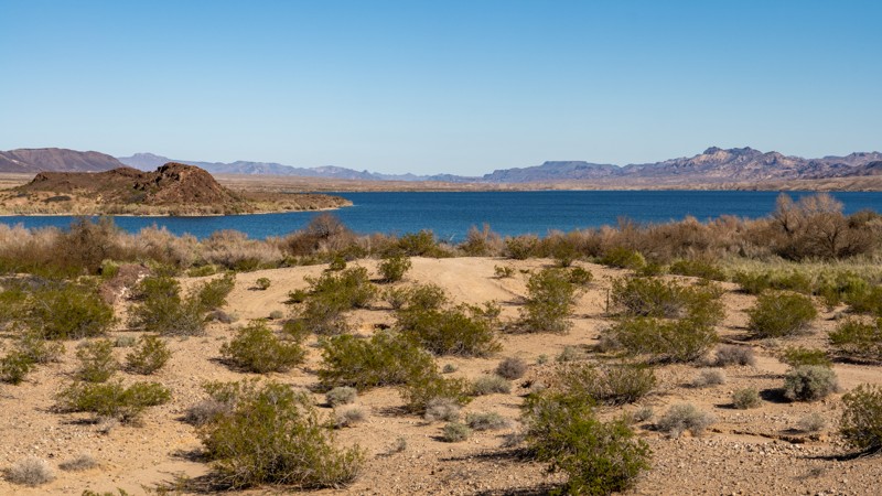
Fenway Road, a short, dead-end spur road off Arizona Bay Road, leads down to the shores of Arizona Bay along the Colorado River. This road is much sandier than any other in the area, and although the trail can be done in 2WD, a high clearance 4WD vehicle is recommended. The end of the trail travels through extremely tight, dense brush sure to pinstripe your paint. The trail ends at a small beachside campsite large enough for one or two vehicles, offering good views of Arizona Bay and the Black Mountains.
Although this road is within the Lake Mead National Recreation Area fee area, there are no entrance stations along the way to obtain a pass.
Updated: 04/10/2026
Coconino FR6001
Oak Creek Canyon, Arizona
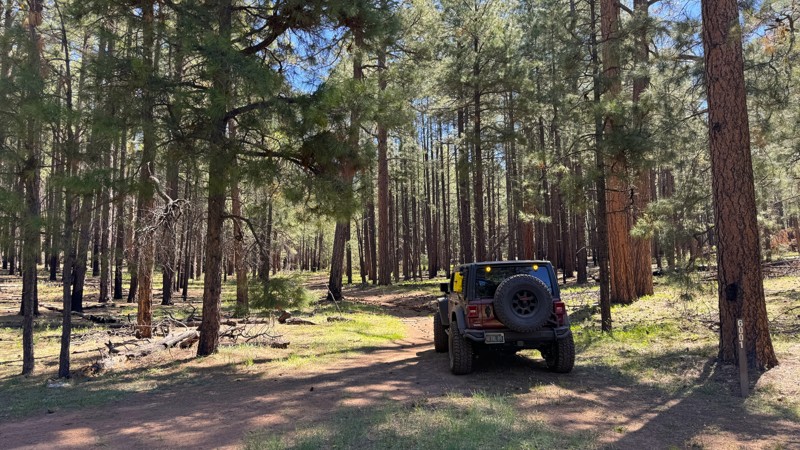
FR6001 is a trail that starts from FR231J and leads to a Forest Service wildlife water catchment area at the trail's end. The trail mainly consists of packed dirt with random small rocks. There are a few fallen trees that will require maneuvering around.
Similar to FR231J, per the Forest Service, the initial part of this trail is a designated dispersed camping area on both sides, allowing limited cross-country motor vehicle use within 300 feet of the trail's edge for dispersed camping purposes. There is a good campsite shortly after the start of this trail. It is grassy, flat, somewhat shaded, and can accommodate 2-3 vehicles.
You may be tempted to set up camp at the end of the trail. However, camping is not permitted there as it is within 1/4 mile of the wildlife water catchment.
Updated: 04/01/2025
Rolls 3492
Tortilla Flat, Arizona
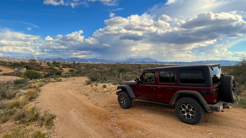
Trail 3492 is a very short easy connector trail that offers a large camping area. It can easily accommodate ten or more vehicles and has several fire rings. It is a good area to stage vehicles with trailers in the same location as your camp. This area is also used for target shooting.
Please note that an OHV permit is now required on this trail.
Updated: 10/15/2024
State Tank - Rock Tank Loop
Sasabe, Arizona
Buenos Aires National Wildlife Refuge in southern Arizona was established in 1985 for the reintroduction of masked bobwhite quail and the restoration of natural landscapes and their native wildlife, including the Sonoran Pronghorn. The 118,000-acre refuge lies in a broad Altar Valley between the Baboquivari Mountains, with their prominent main peak in the west, and the lower San Luis Mountains to the east. In the 1850s, Pedro Aguirre, Jr. built a homestead here in 1864 and named it Buenos Ayres, or "good air," because of the constant winds. His ranch changed hands several times before being purchased to form today's wildlife refuge. The refuge's visitor center is located in the adobe ranch house.
The refuge has over 80 designated campsites identified by a numbered sign. Camping is free and allowed for 14 days in a 30-day period, but only in the designated campsites. Most campsites have a fire ring/grill. Site sizes vary from a single vehicle to large enough for multiple RVs and trailers. Most are suitable for tents.
Fuel and limited supplies are available in the nearby small towns of Sasabe and Arivaca.
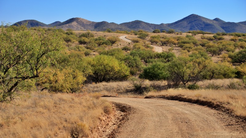
State Tank - Rock Tank Loop combines roads 213 and 249. The loop begins and ends near the visitor center and Aguirre Lake. While narrow on the western ends with grass in the middle, the trail widens out on the east. Campsites 68 and 68A sit on the northern portion of the loop. 68 is a large site capable of accommodating several trailers. 68A is a small one-vehicle site off a small spur with excellent views. Both sites have a metal fire ring. When mapped, the refuge was removing invasive mesquite trees near the trail to restore the open native grasslands.
Updated: 10/15/2024
Pierce Wash
Heber-Overgaard, Arizona
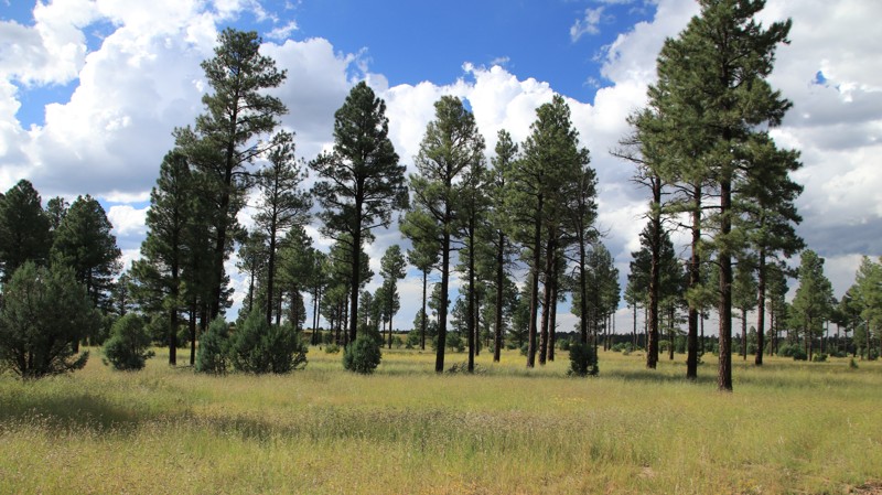
Pierce Wash runs between Highway 260 and Overgaard, FR 124. The easy trail runs through a pretty pine forest. There are numerous large shaded campsites along the road. There's even a nice pull-through campsite very near Highway 260 for those looking for a quick overnight camp. The trail is mostly packed dirt with some embedded rock.
Updated: 03/15/2026
Kat Walk Ridge
Superior, Arizona
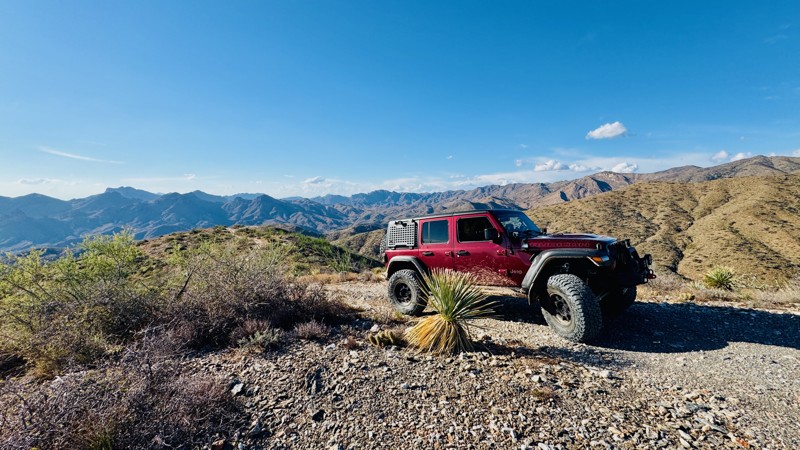
This trail runs along the highest elevation point of the Hewitt Station inner loop network, giving drivers the feeling of being on a “KAT Walk,” with wide-open views overlooking the town of Superior and the valley below. Its difficult rating comes from the rocky, high-elevation shelf roads that edge both sides of the trail in sections, along with a few challenging rock steps to navigate. A notable one-mile stretch features an 800-foot elevation change that drops into a scenic canyon before climbing steeply back out. When connected with Pucker Ridge and Moose Rock Ridge trails, it creates a memorable and scenic loop that rewards experienced drivers with incredible ridge line scenery and technical terrain. With its steep drop-offs and narrow width, this route isn’t for the faint of heart. There are no viable camping spots along the trail.
It appears, on the ground, the trail continues west of the intersection with FR1903 (Moose Rock Ridge) however this section of trail is closed and not included in the GPS guided track.
Updated: 11/12/2024
Woody Mountain Secluded Meadow
Oak Creek Canyon, Arizona
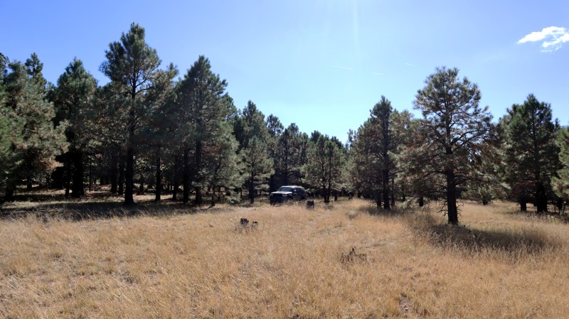
This skinny, rocky, and bumpy side trail off Woody Mountain Road takes you to a scenic and secluded meadow. While camping is not allowed along this short trail, it does provide an opportunity to stretch your suspension and break up the monotony of the relatively easy Woody Mountain Road. This trail is suitable for any high-clearance vehicle.
Updated: 10/15/2024
Lost Cienega
Hannagan Meadow, Arizona
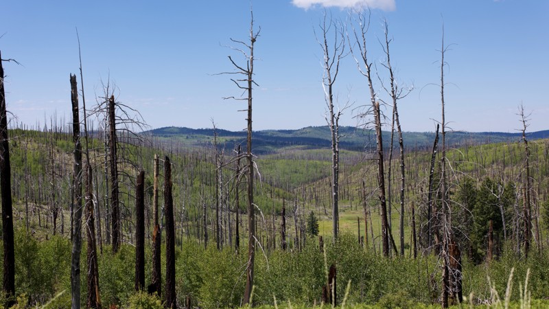
Lost Cienega (FR576) is a short connector between paved US191 and Buffalo Crossing (FR24). The first half is through heavy forest, but the road then skirts a deep depression surrounding Balke Spring, which has many snags standing and some long vistas to the south and west.
The road is gravel, but small rocks make for a bumpy drive. Shelf portions can be narrow but not sufficiently so in most places to prevent two vehicles from passing.
Camping opportunities are limited, with two sites within the first 1.5 miles in from US191. The farther in of those was among the trees, had a fire ring, and would accommodate a small trailer.
Updated: 10/15/2024
FR 258
Jacob Lake, Arizona
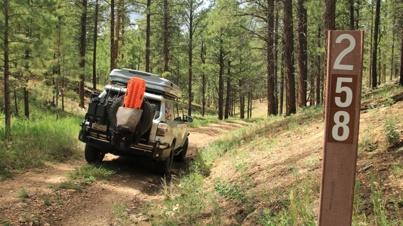
FR 258 is a tight little two-track trail running through a small and pretty canyon between FR 225 and FR 205. While easy, it is a bit more adventurous that most of the other area forest roads. There are four campsites along the way.
Updated: 05/11/2025
Forest Road 110
Forest Lakes, Arizona
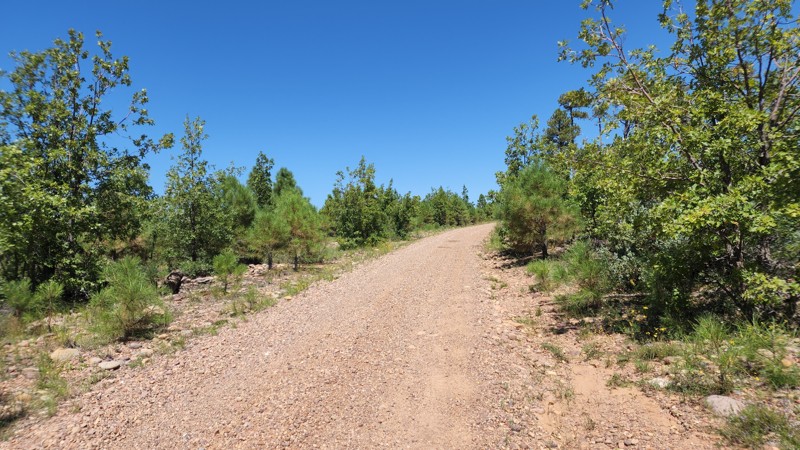
Chediski Lookout Road ends at the Apache Reservation where the road is blocked with a locked gate. There is a single campsite along the road.
Updated: 10/15/2024
Swansea Cutoff
Planet, Arizona
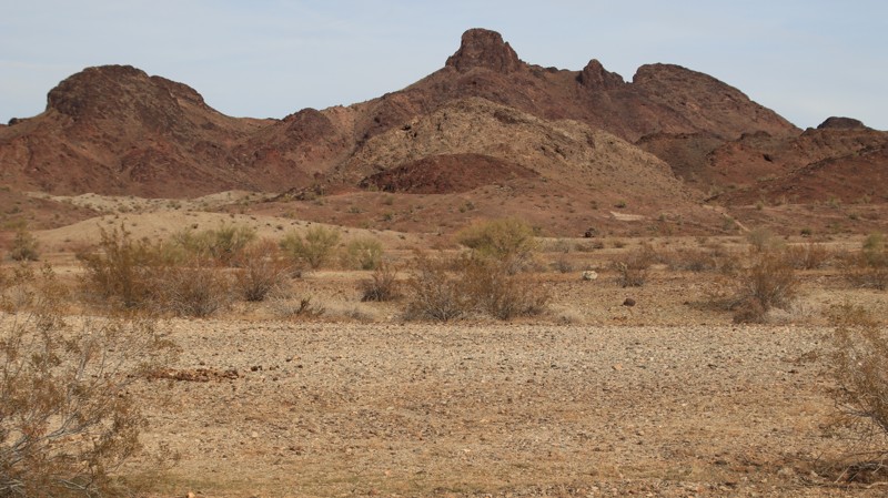
Swansea Cutoff is a graded road between Mineral Wash and Planet Ranch Road. Besides being a nice shortcut, the trail offers decent views of the Buckskin Mountains. An abandoned dirt airstrip on the western end makes for a huge camping area with multiple fire rings and views northeastward of Tunnel Peak. There are also two slot canyons nearby. One is drivable, and the other makes a nice short hike.
Updated: 09/02/2026
FS 9495F
Oak Creek Canyon, Arizona
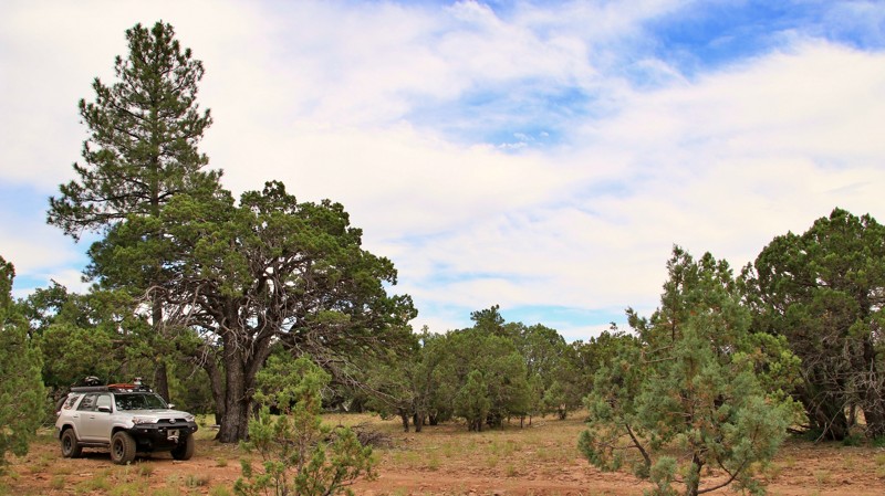
Have you ever seen an alligator in Arizona? You might and yet not recognize it. We aren't talking about the 4-legged large-toothed swamp-dwelling reptile, of course. The alligators along this short connector trail are instead among the oldest species of trees in the southwest. FS 9495F boasts impressive specimens of the alligator juniper, so named for the dark checkered bark reminiscent of the swampy reptilian's skin. The Coconino National Forest is known mostly for its vast stands of Ponderosa pines, and there are plenty of those along the short stretch of almost parklike forest alongside FS 9495F. However, a combination of elevation and soil type supports a beautiful stand of alligator juniper as well. This is not a difficult trail, and any vehicle with high clearance will be just fine. Camping is not found along this short spur, but many nearby spurs have great dispersed camping opportunities.
Updated: 10/15/2024
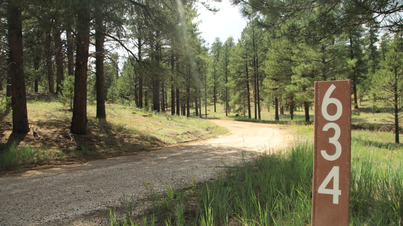
FR 634
Jacob Lake, Arizona
FR 634 runs between Highway 67 and FR 205. There's no camping. The trail serves as a quick and scenic way to get from Jacob Lake into the pines of the Kaibab National Forest.
Updated: 10/15/2024
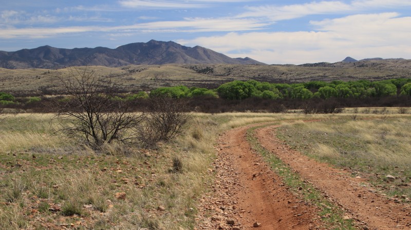
Los Posos Gulch
Sonoita, Arizona
Nicknamed Prairie Dog Town, Los Posos Gulch runs northeastward from East Yucca Farm Road towards cottonwood-lined Cienaga Creek. Blacktail Prairie Dogs disappeared from the Arizona ecosystem in the 1930s. The Las Cienegas National Conservation Area is reintroducing them in a project along this trail. A pullout serves as an observation area for the burgeoning prairie dog town.
The trail starts wide and well maintained with several RV-sized campsites near the trailhead. The track tightens and becomes rougher after the prairie dog town, with grass growing in the middle. The trail parallels the lush Cienaga Creek drainage before unceremoniously ending at a fence with little room to turn around. One small spur goes off southward to a small pond.
Updated: 10/15/2024
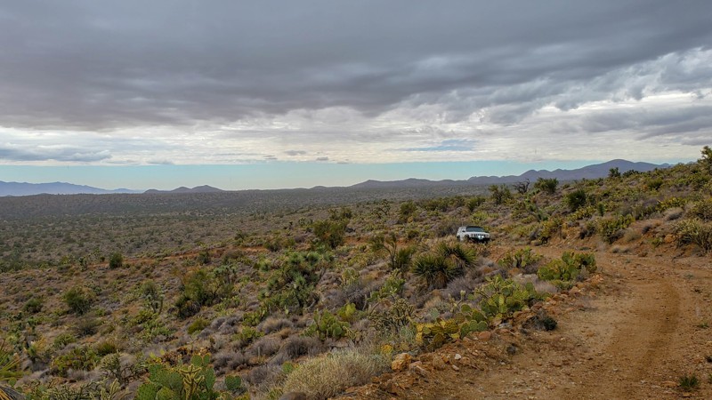
7362
Wikieup, Arizona
7362 is an out and back trail, snaking along the foothills before dropping into a wash, passing a spring, and ending at Devils Canyon mining prospects. The first half of this trail is the most enjoyable, and most will opt to turn south on 7363, which runs all the way to Signal Road.

Upgrade your Membership
Unlock all of the details on every Trail Guide and Scout Route.
Start a 7-day Free TrialBrowse Trails in Arizona by City
Browse every Arizona city with offroad trail guides.
Community
Partners

