


By clicking "ACCEPT", you agree to be the terms and conditions of each policy linked to above. You also agree to the storing of cookies on your device to facilitate the operation and functionality of our site, enhance and customize your user experience, and to analyze how our site is used.
Wyoming Off-Road Trails
25
Total Trail Guides 23

282
Detailed Waypoints 61
Try a Free 7-Day Trial and unlock it all
Start a Free Trial Most Recent Trail Reviews
No Rating
Open
Visited: 09/13/2026
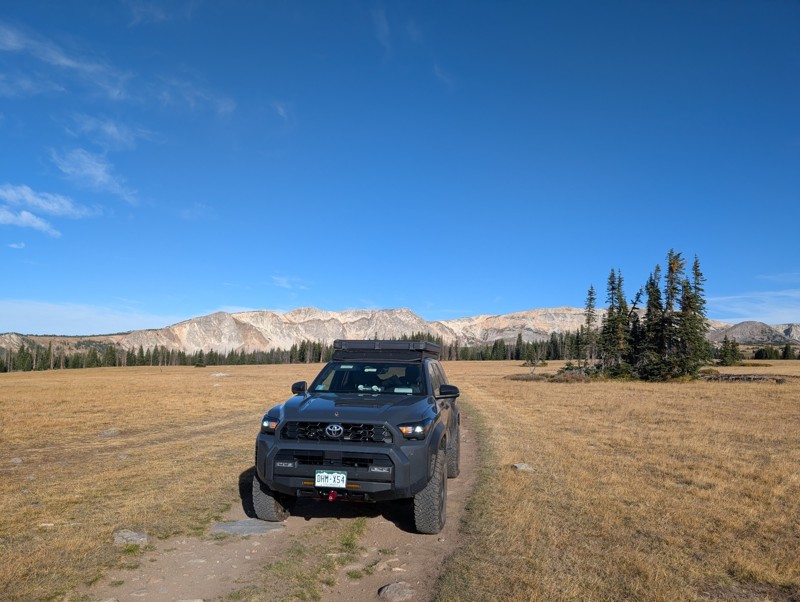
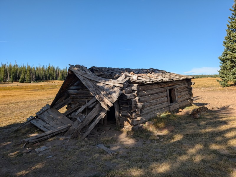
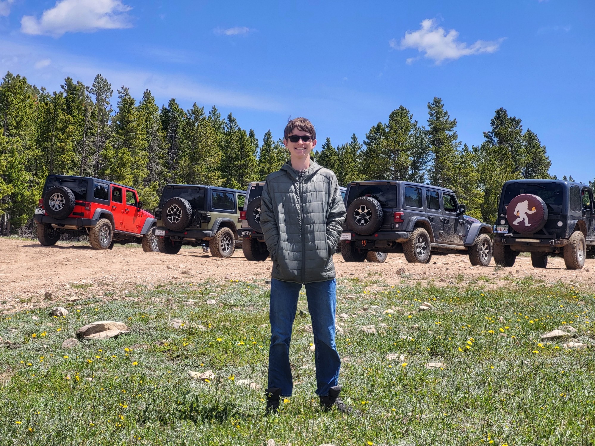
Short and very scenic trail. It does get pretty rocky in some sections but nothing crazy. We didn't run into any issues in our 4Runner. The views from the upper section are unbeatable and the old cabi...

Lee Juszak
Rated 4/5
Open
Visited: 09/12/2026
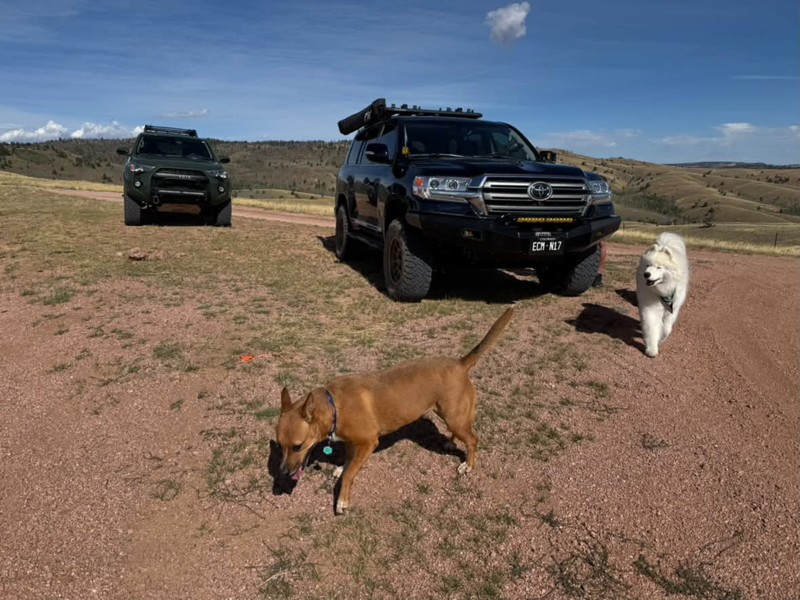
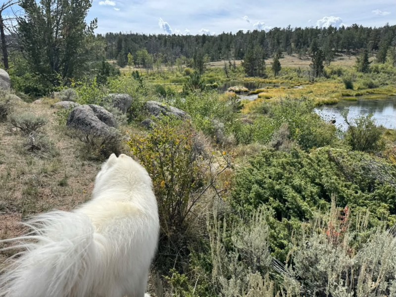
A favorite especially to combine with other close by trails. We actually found a couple of more great camp spots on this trip. It’s an easy road with a few small obstacles on the north side. The trail...
Bryan Peterson
Rated 5/5
Open
Visited: 09/12/2026
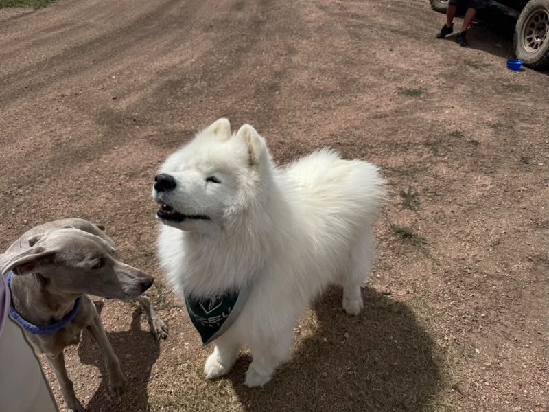
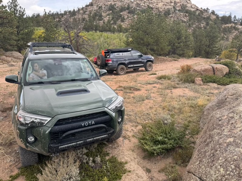
Always one of our favorites! Seems to get more off camber every time🤷♂️ We ran it again from north to south, still such a great trail and the obstacles just keep getting better😃 All mud puddles are...
Bryan Peterson
No Rating
Open
Visited: 09/11/2026
After years, the trail has been repaired and is now open as per the FS
TA
texas aggie
Rated 5/5
Open
Visited: 08/22/2026
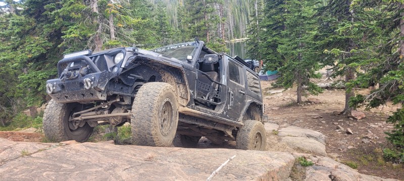
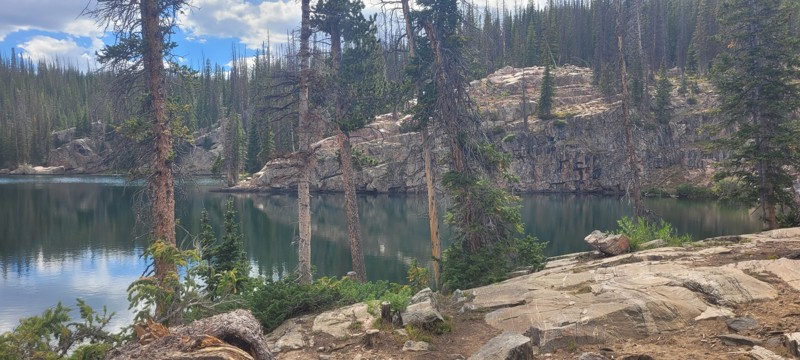
We set up camp at waypoint 6 and the next day ran this from 6 to 1. Let me just say that this trail is worth coming to this area of Wyoming for. The snowy range is so pretty, there was some challenge...

Heather Melchior
Rated 5/5
Open
Visited: 08/21/2026
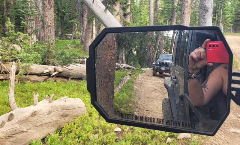
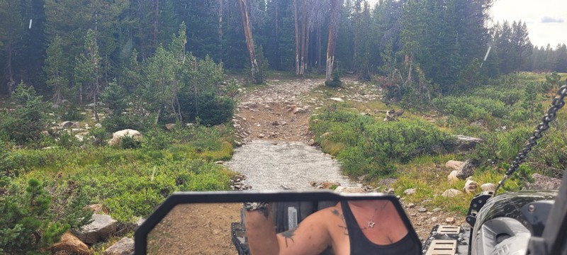
A small group of us ran this and there are about 3 really nice creek crossings. We ended up setting up camp where this & Libby Flats connects. Pretty easy trail. Most of this trail go through the wo...
Heather Melchior
Rated 4/5
Open
Visited: 08/21/2026
A group of us ran this to get to Jim Creek & Libby Flats. It wasn't anything special. Pretty easy "dirt road". Only ran it to waypoint 6.
Heather Melchior
Rated 5/5
Open
Visited: 08/21/2026
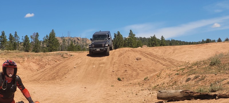
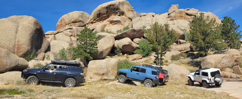
I had heard about this place and figured on a trip to Centennial to wheel that I would spend a night & day in this area. Devil's playground was a lot of fun to rock crawl in and the area of Vedawoo i...
Heather Melchior
Rated 5/5
Open
Visited: 08/18/2026
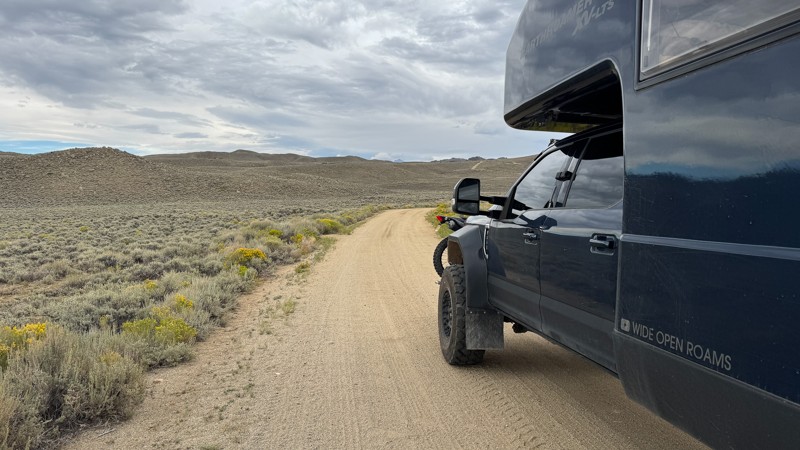
We drove the first section of Union Pass on our way to Green River Lakes Road. This section of the route is more of a graded fire road, and when we drove it, the road was pretty smooth with no obstacl...

Wide Open Roams
Official Crew
Rated 5/5
Open
Visited: 08/18/2026
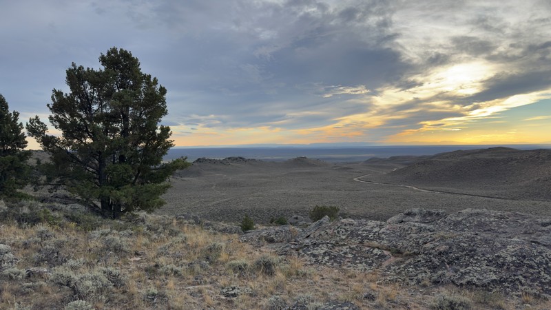
We pulled into the Irish Canyon Trail trailhead and were surprised to find the parking area completely empty. From there, we continued up the trail and found that it had recently been graded, making t...
Wide Open Roams
Official Crew
No Rating
Open
Visited: 08/11/2026
Per the MVUM, the trail is seasonally open. As always, check current fire restrictions/closures before venturing out.

Trails Offroad
No Rating
Open
Visited: 08/11/2026
Per the MVUM, the trail is seasonally open. As always, check current fire restrictions/closures before venturing out.
Trails Offroad
No Rating
Open
Visited: 08/11/2026
Per the MVUM, the trail is seasonally open. As always, check current fire restrictions/closures before venturing out.
Trails Offroad
No Rating
Open
Visited: 08/11/2026
Per the MVUM, the trail is seasonally open. As always, check current fire restrictions/closures before venturing out.
Trails Offroad
No Rating
Open
Visited: 08/11/2026
Per the MVUM, the trail is seasonally open. As always, check current fire restrictions/closures before venturing out.
Trails Offroad
Open
Visited: 08/11/2026
Per the MVUM, the trail is seasonally open. As always, check current fire restrictions/closures before venturing out.
Trails Offroad
No Rating
Open
Visited: 08/11/2026
Per the MVUM, the trail is seasonally open. As always, check current fire restrictions/closures before venturing out.
Trails Offroad
No Rating
Open
Visited: 08/11/2026
Per the MVUM, the trail is seasonally open. As always, check current fire restrictions/closures before venturing out.
Trails Offroad
No Rating
Open
Visited: 08/11/2026
Per the MVUM, the trail is seasonally open. As always, check current fire restrictions/closures before venturing out.
Trails Offroad
No Rating
Open
Visited: 08/11/2026
Per the MVUM, the trail is seasonally open. As always, check current fire restrictions/closures before venturing out.
Trails Offroad
No Rating
Open
Visited: 08/11/2026
Per the MVUM, the trail is seasonally open. As always, check current fire restrictions/closures before venturing out.
Trails Offroad
No Rating
Open
Visited: 08/11/2026
Per the MVUM, the trail is seasonally open. As always, check current fire restrictions/closures before venturing out.
Trails Offroad
No Rating
Open
Visited: 08/11/2026
Per the MVUM, the trail is seasonally open. As always, check current fire restrictions/closures before venturing out.
Trails Offroad
No Rating
Open
Visited: 08/11/2026
Per the MVUM, the trail is seasonally open. As always, check current fire restrictions/closures before venturing out.
Trails Offroad
No Rating
Open
Visited: 08/11/2026
Per the MVUM, the trail is seasonally open. As always, check current fire restrictions/closures before venturing out.
Trails Offroad
No Rating
Open
Visited: 08/11/2026
Per the MVUM, the trail is seasonally open. As always, check current fire restrictions/closures before venturing out.
Trails Offroad
No Rating
Open
Visited: 08/11/2026
Per the MVUM, the trail is seasonally open. As always, check current fire restrictions/closures before venturing out.
Trails Offroad
No Rating
Open
Visited: 08/11/2026
Per the MVUM, the trail is seasonally open. As always, check current fire restrictions/closures before venturing out.
Trails Offroad
Open
Visited: 08/10/2026
We drove Ashton-Flagg Ranch Road, also known as Grassy Lake Road, from the Grand Teton National Park side toward Idaho. The route starts out as a wide, smooth fire road and is very easy to travel. The...
Wide Open Roams
Official Crew
Rated 3/5
Open
Visited: 08/09/2026
We drove Shadow Mountain Road in search of dispersed camping, but what we found was easily the busiest trail we’ve ever seen. We were honestly surprised by just how many people were up there, especial...
Wide Open Roams
Official Crew
Rated 5/5
Open
Visited: 08/08/2026
We drove Cliff Creek while looking for some dispersed camping outside of the Jackson area, and it ended up being a very mellow route that was easy to enjoy in the EarthRoamer.
The trail is essentiall...
Wide Open Roams
Official Crew
Rated 1/5
Open
Visited: 08/01/2026
Other than the long water crossing this is basically a rough gravel road.

Mike Bromberg
Rated 1/5
Open
Visited: 07/31/2026
DO NOT go here in July or August; this is a very scenic drive, but during the busy months the road is extremely busy and camping is nonexistent. Many of the campsites looked like they've been occupi...
Mike Bromberg
Rated 4/5
Open
Visited: 07/29/2026
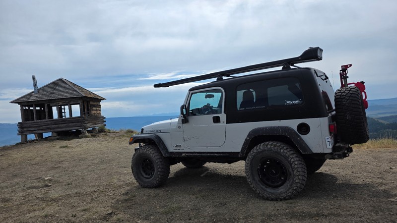
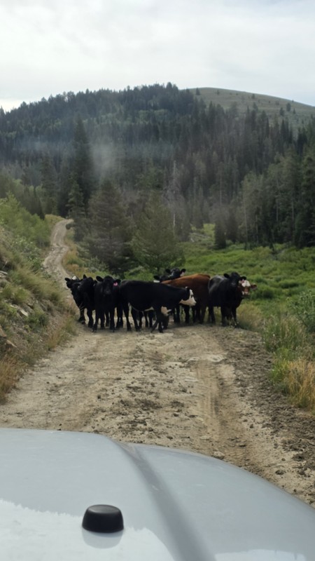
Ran this trail today while we were in the area camping and fishing. The views from the lookout are definitely worth the trip.
The road had a few muddy ruts, so I would recommend 4x4, and a little ext...
DO
Daren O
Rated 5/5
Open
Visited: 07/29/2026
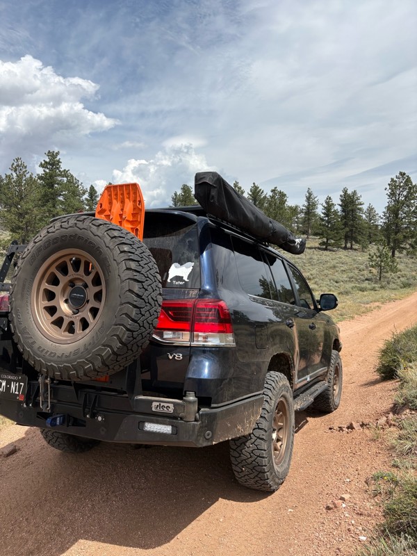
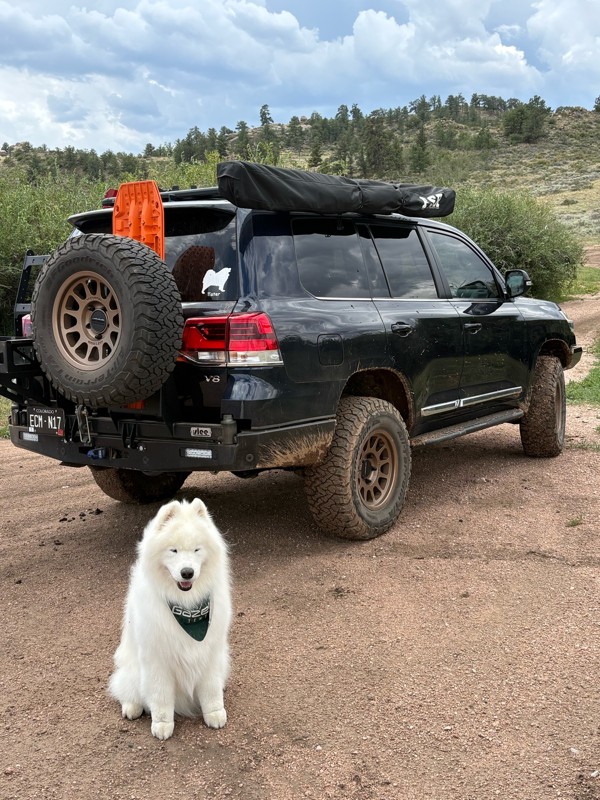
This is a super fun trail. We have been on it several times, but this was the first time running the whole trail. We ran it North to South. Coming from the Eagle rock side the trail is pretty mellow, ...
Bryan Peterson
Open
Visited: 07/26/2026
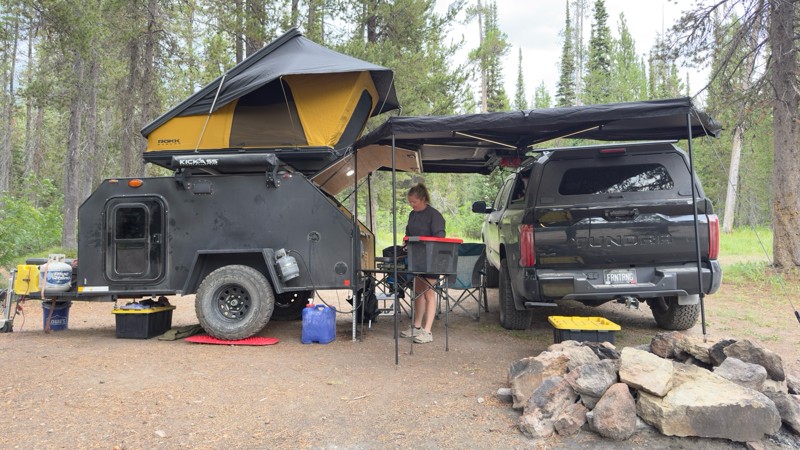
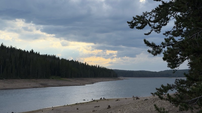
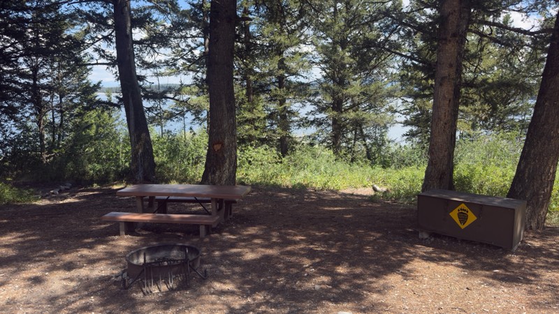
We used this trail to camp while we visited Yellowstone and Grand Teton. We camped near the reservoir as the designated sites were all occupied. We found a great dispersed site near the reservoir. I w...

Tyler Genevish
Official Crew
Rated 4/5
Open
Visited: 07/24/2026
I don’t know if I’d consider this a moderate trail but it is rough and bumpy. There is a fairly steep section near the end with a blind curve at the top. Maybe if there was snow or after a rain, 4WD w...
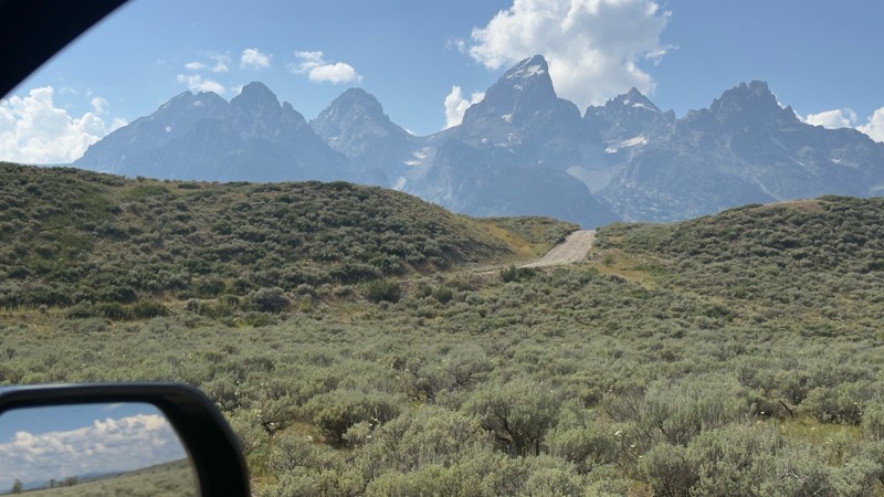
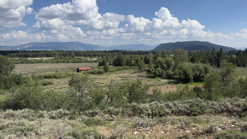
Tyler Genevish
Official Crew
Rated 4/5
Open
Visited: 07/24/2026
We used this trail while exploring Grand Teton to find a place for lunch. The majority of the trail is fairly easy, but at the switch back where it gets closer to the lake the trail becomes very steep...
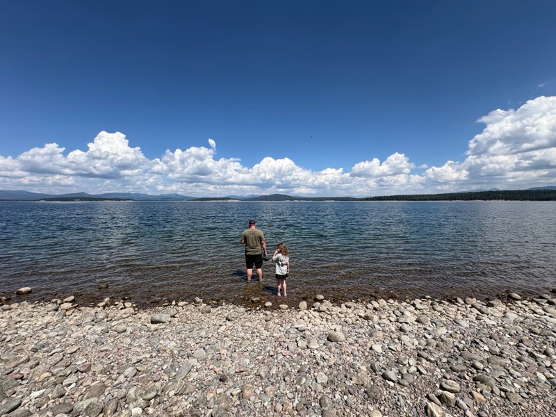
Tyler Genevish
Official Crew
Rated 4/5
Open
Visited: 07/23/2026
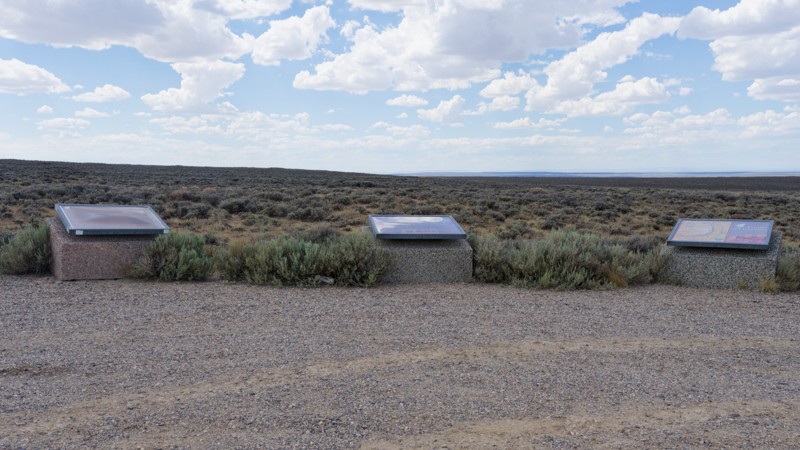
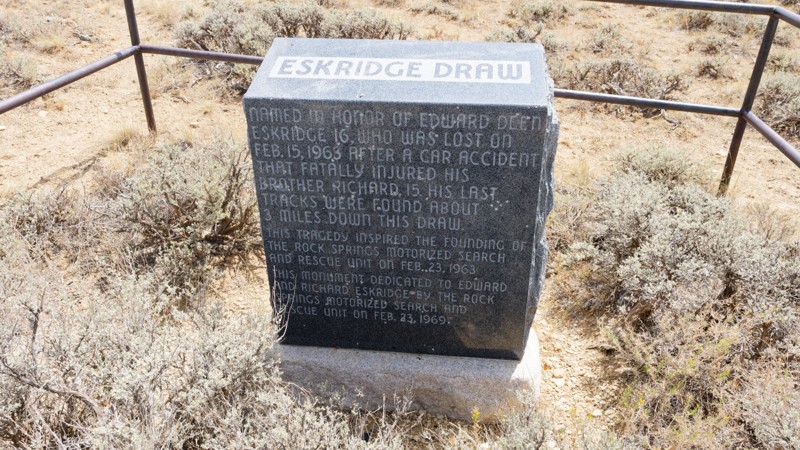
The road is very easy, it is a graded gravel road that sometimes has washboard. The views are pretty good. The county was putting a solution down to keep the dust minimal and driving over that made th...

Jay North
Official Crew
Rated 5/5
Open
Visited: 07/22/2026
Fun trail. Water levels are all pretty low compared to the pics. I don't think any crossings were above halfway up my 35" tires.
Trail is just a dirt road until waypoint 6 and then it get's rocky. ...
MF
Matt Freel
Rated 1/5
Open
Visited: 07/21/2026
Not worth the time or effort. The views are boring and the road is so bad you jiggle all of your brains and teeth out for nothing. Absolutely nothing.
Jay North
Official Crew
Rated 4/5
Open
Visited: 07/21/2026
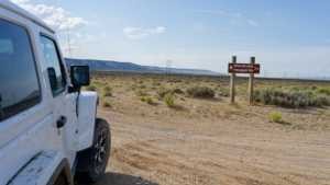
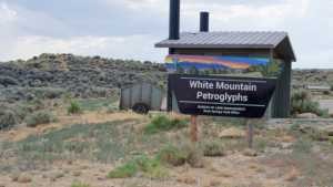
This short spur off the main dirt network runs across open sagebrush flats toward the base of White Mountain, home to one of the largest concentrations of Native American rock art in the region. The r...
Jay North
Official Crew
Rated 3/5
Open
Visited: 07/21/2026
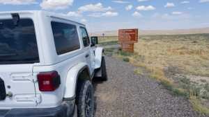
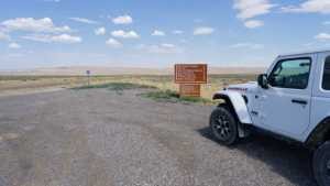
Chilton Road runs north out of Rock Springs across the open sagebrush flats of the Red Desert, ending at the Killpecker Sand Dunes Open Play Area. It is a wide, packed dirt route that serves as the ma...
Jay North
Official Crew
Rated 3/5
Open
Visited: 07/17/2026
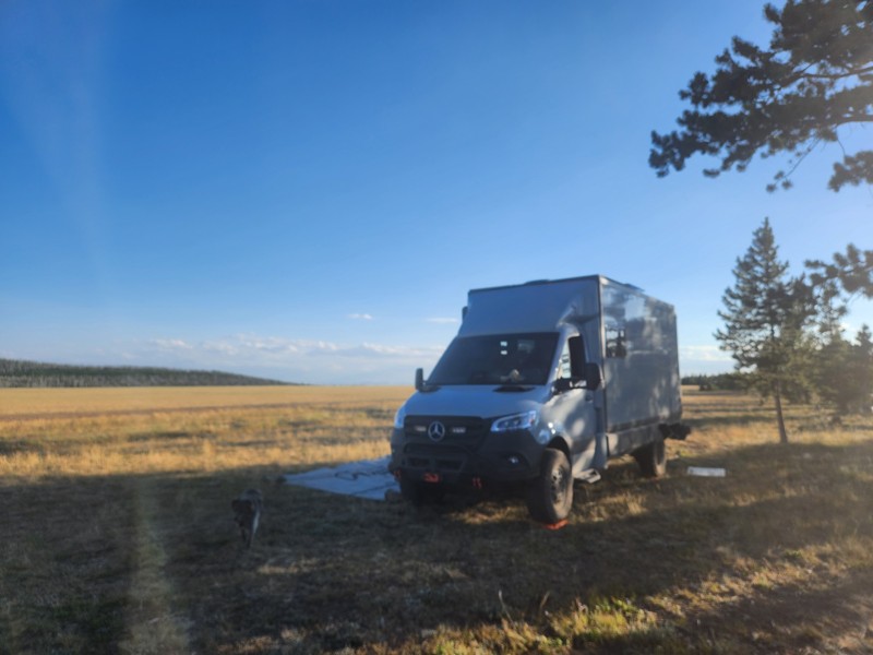
Not much scenery, anf not a lot of places to camp. This appears to be a trail heavily trafficked by side-by-sides and on the weekend, the camping sights had mostly big rigs in them with people hauling...
EB
Ethan Burnham
Rated 5/5
Open
Visited: 07/07/2026
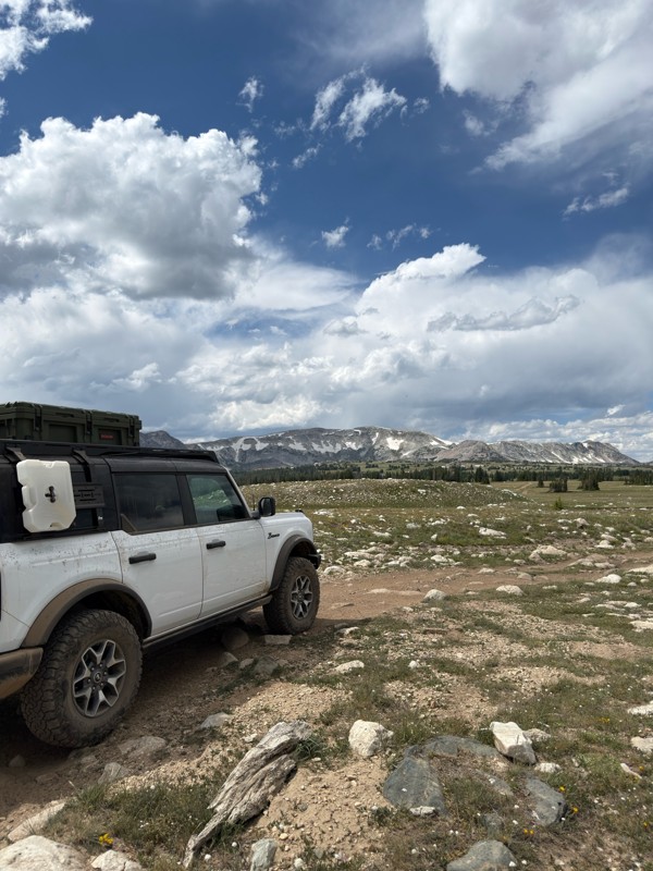
Beautiful area. Gate to the north is open, and trails to the south are open.
JL
James Lengyel
Rated 4/5
Open
Visited: 07/07/2026
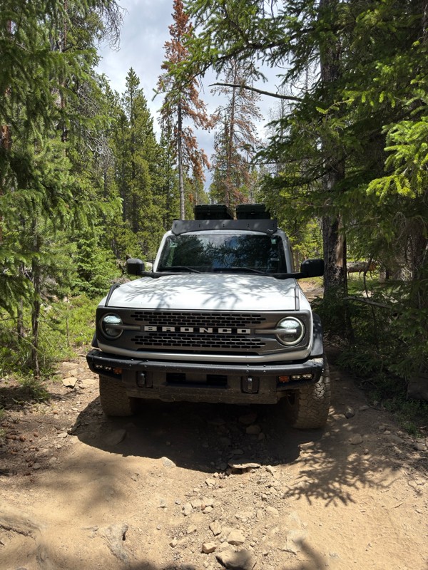
Very tight in spots, if you have a large rig it may not fit, and a poor line could come with consequences. Expect plenty of pin-striping. Would recommend having a spotter to navigate some of the tight...
JL
James Lengyel
No Rating
Open
Visited: 07/03/2026
Open for the season! very very buggy, and crowded. Granted we went on July 4th weekend. Go early enough that you can get a waterfront camping site, they seem to fill up quick.
We were in an otherwise...
TL
Tyler Lubeck
Rated 5/5
Open
Visited: 07/03/2026
Perfect way to end our trip in the Bighorns, no problem for the Sprinter 144. We did it top to bottom, most of the other traffic was heading up from Buffalo.
DB
David Bauer
Rated 4/5
Open
Visited: 06/29/2026
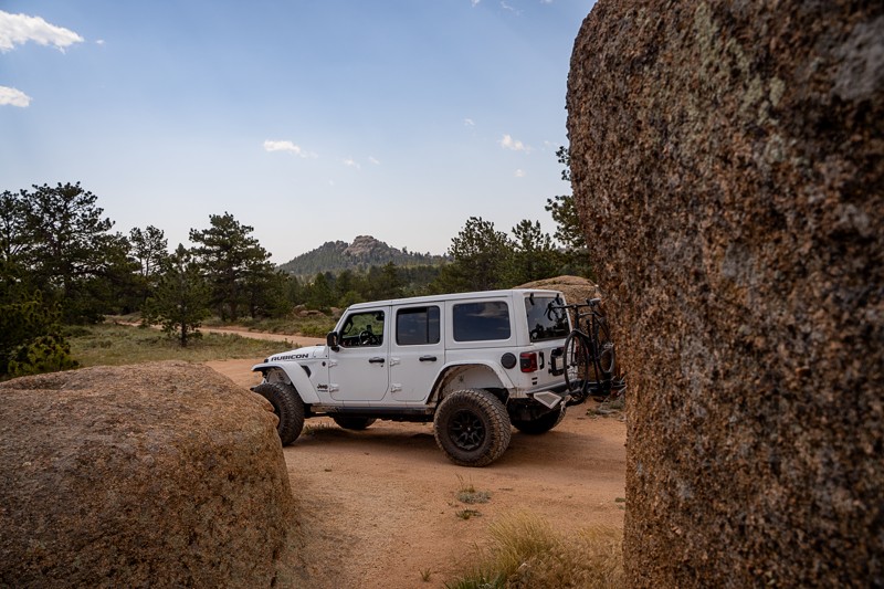
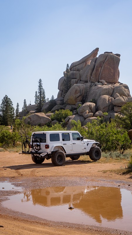
Passing through along I-80 and stopped to give this older guide a refresh. This was my first time visiting the area, even though I've driven past it many times on the interstate. Now I get what all th...

Ariana Dufour
Official Crew
Rated 4/5
Open
Visited: 06/29/2026
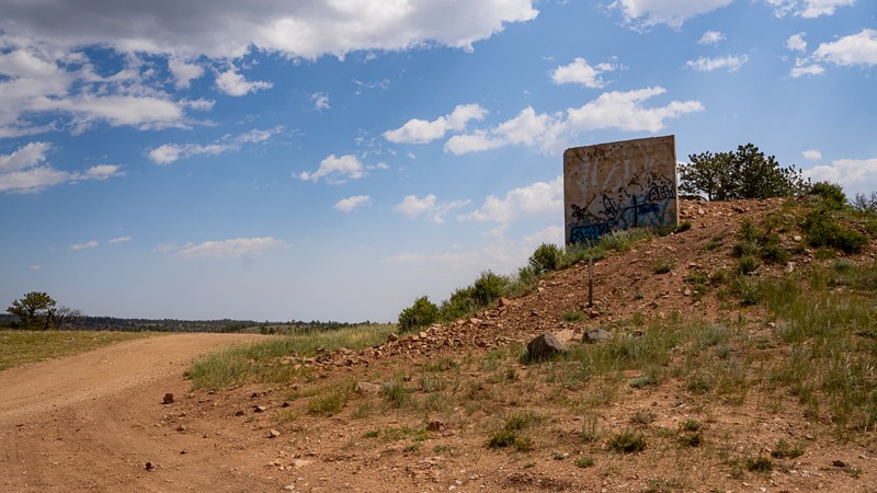
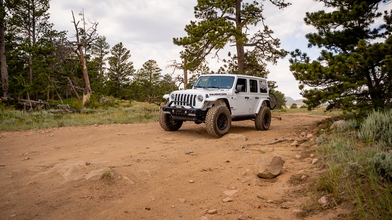
Passed through the area and stopped to refresh this trail guide with newer photos, a couple more waypoints, and an increase in difficulty rating. With time and natural erosion, the overall rating need...
Ariana Dufour
Official Crew
Most Popular


Updated: 06/17/2024
Monument Ridge
Open
/
Hoback Junction, Wyoming/
2.16 miles/
About 30 minutes
Located about an hour from Jackson in the Bridger-Teton National Forest, Monument Ridge is one of only two fire lookouts in Wyoming accessible by road. The road provides incredible views of nearby mountain ranges and is a common destination for hikers, bikers, and off-road adventure seekers, especially Jeep enthusiasts. Monument Ridge is the only Jeep Badge of Honor Trail (BOH) in the state of Wyoming and is easily accessible from nearby Highway 191.

Updated: 07/18/2023
Morrison Jeep Trail
Cody, Wyoming
The Morrison Trail is an iconic trail that should be on your bucket list… if you can stomach very narrow shelf roads. This trail is for advanced drivers only. Once you start the climb up the switchbacks, there is nowhere to turn back if you decide it is too much for you. All of the switchbacks are multiple point turns for anything but very small wheelbase rigs. You will be off camber while climbing tight switchbacks while your suspension is flexed. There is no room for error, no winch points if you get into trouble and you can literally hear the edges of the cliff crumbling away as you drive in some areas.
The trail is most famous for the 28 switchbacks(or so depending on what you count). The panoramic views at the top are well worth the intense few hours it may take to climb up the side of the cliff. You begin along the Clarks Fork River and climb to the top of the Beartooth Plateau gaining 2,000ft of elevation in two miles. The Clarks Fork Canyon where you begin is the canyon that Chief Joseph and the Nez Perce Indians traveled through in 1877 to escape the pursuing Army. The scenic byway to the south of the canyon is named after Chief Joseph and has a few interpretive signs along the drive.

Updated: 10/31/2024
Cascade North Twin
Centennial, Wyoming
Wheeling Forest Service Road 103 is what some would call a "tour of the lakes". This off-road trail one of the best to view high mountain lakes. You pass by South and North Twin Lakes, Dipper and Queally Lake, along with Cascade Lake. Feeding all these lakes are crystal clear streams and brooks which you can't help but appreciate as you listen and look at them. All of this water leads to a visually pleasing trip through many colorful and delicate sub-alpine meadows. This route lies within the Snowy Range of the Medicine Bow-Routt National Forests, it is pristine and less crowded than some of the most well-known areas that tend to get most of the attention. This is the perfect destination for an overland adventure.

Updated: 08/06/2024
Pumpkin Vine Road
Laramie, Wyoming
Put your boots on and saddle up your trusty four-wheeled steed to enjoy an excursion through the old west of Southeast Wyoming. Pumpkin Vine Road meanders through the high prairies south of Laramie Wyoming. This easy gravel road is a great alternative to the other asphalt routes when traveling to the Vedauwoo Recreation Area between Laramie and Cheyenne. Don't forget to stop and see the Ames Monument, a large pyramid paying tribute to the area's rich railroad history. Ames Monument is listed on the National Register of Historic Places and is maintained as a State of Wyoming historic site.

Updated: 06/29/2024
Libby Flats
Centennial, Wyoming
Traversing the high mountain tundra and forest in southern Wyoming's Snowy Range, Libby Flats is an intermediate 4x4 trail that meanders through the Medicine Bow National Forest. This multi-use trail is only open and accessible for a few months each year because of the exceptional volume of snowfall during the winter and spring. Luckily, the golden fall color from abundant aspen trees makes up for the short season.
Libby Flats is a trail to take for the beauty of the high mountain views. Although this area receives considerable snow during the winter, that is not how the Snowy Range Mountains received their name. The color of the rocky peaks gives the appearance of being covered with snow even when no snow is present.
Updated: 07/21/2026
Vedauwoo Glen Road
Buford, Wyoming
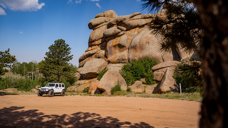
Vedauwoo Road is an easy back-country road in the Medicine Bow National Forest between Cheyenne and Laramie, Wyoming. A Native American name, the word Vedauwoo (pronounced Vee-da-voo) means “Land of the earth-born spirits.” The giant rock piles and outcroppings along Vedauwoo Road are Sherman Granite and contain an abundance of feldspar, giving the rock its distinctive pink color.
Many words can be used to describe Vedauwoo Road, but arguably the first two could be 'Accessible Camping'. This area is a popular destination for hiking, rock climbing, biking, and camping. As such, camping is strictly only allowed at developed campgrounds or at one of the over 70 designated sites. This trail guide does not include Waypoints for every site, but rather marks locations of camping spurs and other important features along the trail. A map of designated campsites is available at the Waypoint 2 signage, and the full list of rules is in the Camping section of this guide.
Whether you're chasing technical climbing routes or a weekend away to camp among the unique rock features of eastern Wyoming, Vedauwoo will certainly be a special treat!

Updated: 08/12/2025
Greys River
Calpet, Wyoming
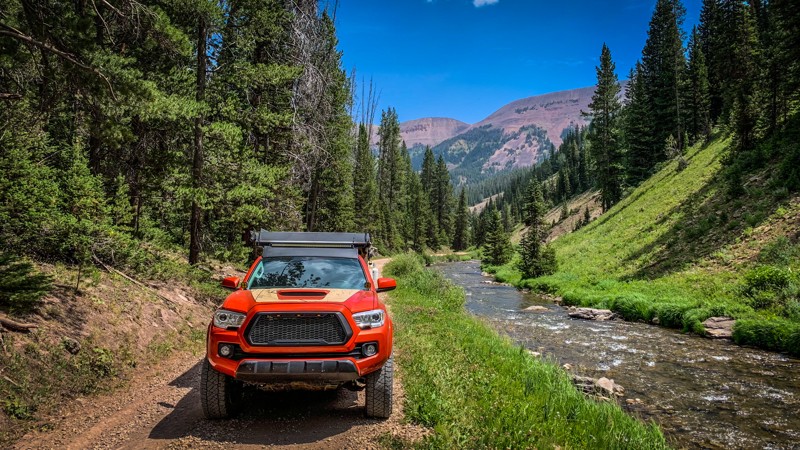
Greys River, FR 10138, follows its namesake waterway through Wyoming's rugged Bridger National Forest. This scenic dirt road is a feast for the eyes. Flanked by towering pine trees backed by prominent mountain peaks, the trail passed through a stunning panorama that never ceases to amaze. The remote location and sense of wilderness add to the sense of adventure. The river is home to various trout species making it quite popular with fly fishing enthusiasts. The road is usually graded but can be rough. Any 2WD SUV will have no difficulties.
There are ample dispersed camping sites along the way, allowing visitors to immerse themselves in the beauty of the natural surroundings. First-come, first-served improved campgrounds with amenities are scattered along the track.

Updated: 06/01/2024
Eagle Rock Road
Laramie, Wyoming
Nestled in the high mountain plains of southeastern Wyoming, Eagle Rock Road wanders through the unique piles of granite rock prevalent in the Pole Mountain recreation area. You will experience the feeling of both the wide-open prairie as well as the pine and aspen forest during the journey along this trail. The namesake feature, Eagle Rock, is found in the center of this loop-shaped trail and offers a beautiful backdrop to an abundance of camping, hiking, and off-road activities. The various rock formations in the area are popular for rock climbing while numerous streams and beaver ponds attract fishing. Open most of the year, the area provides the opportunity for a snowy off-roading experience in the winter. The wind is notoriously strong and common here and can cause deep snowdrifts to form from only a few inches of snowfall.

Updated: 06/21/2023
Ehlin Road
Centennial, Wyoming
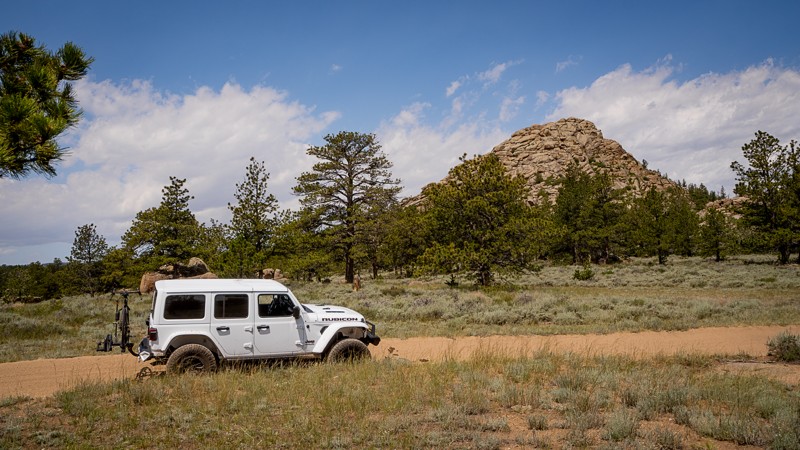
Ehlin Road provides access to many of the historic mining camps from the late 1800s and the Roby Roy Reservoir near Centennial, Wyoming. The area was initially used for logging railroad timbers until gold was discovered in 1875. Soon, mining claims popped up west along the Centennial Ridge and Ehlin Road. Mineshaft structures and homestead log cabins are scattered throughout the region. This is also the secret shortcut if your destination is Rob Roy Reservoir in Wyoming's Snowy Range. It travels through the popular Cinnabar Park, a popular camping destination suitable for RVs and large trailers. An abundance of US Forest Service Road provided endless opportunities to explore.
Updated: 07/21/2026
Crow Creek Road
Hirsig, Wyoming
The Crow Creek four-wheel drive trail is a great trail to experience the beautiful ponderosa pine, rolling grasslands, and granite rock features of eastern Wyoming. The trail is situated in the Pole Mountain unit of the Medicine Bow-Routt National Forest between Cheyenne and Laramie, Wyoming. Crow Creek is just one of many routes in the area, making it a great place for a full weekend adventure. From gravel bike riding to rock climbing to hiking, the Pole Mountain unit is sure to keep the whole family busy. History buffs may enjoy seeing one of two old bunkers located along Crow Creek. Prior to 1959, this 55,000-acre area was administered by the Department of Defense for military training, with the bunker among the few remaining structures.

Updated: 11/14/2024
Cliff Creek
Hoback Junction, Wyoming
Located southeast of Jackson in the Bridger-Teton National Forest, Cliff Creek is a rare road that offers fantastic backcountry opportunities for all types of users. Along Cliff Creek, you will find abundant dispersed camping options and many non-motorized trails that offer spectacular views, including the scenic Cliff Creek Falls. This area is a premiere big game hunting area and is also used by 4x4 enthusiasts as an access point to the only Wyoming Jeep Badge of Honor Trail (BOH), Monument Ridge.
Updated: 09/16/2026
Union Pass
Cora, Wyoming
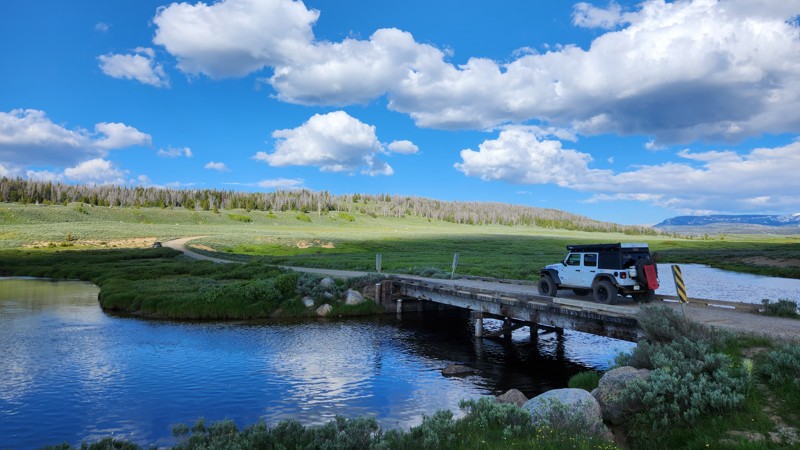
Union Pass is a maintained dirt road connecting the town of Pinedale to Dubois (the locals pronounce it "dew-boys"). This route showcases many mountain vistas that the Teton National Forest is known for, including Gannett Peak, the highest point in Wyoming, and numerous lakes and streams. This is a great trail if you want to see this special area via dirt instead of asphalt. Any passenger vehicle can handle Union Pass but might be bumpy without airing down your tires.

Updated: 07/02/2023
Hog Park Road
Encampment, Wyoming
Hog Park Road starts in the middle of the beautiful Medicine Bow-Routt National Forest. This trail meanders through thick pine forests and ultimately ends up at the Colorado border. One of the main attractions of this road is the aptly named Hog Park Reservoir, which is a rather large body of water used for fishing and kayaking. The water from here feeds into the North Platte River, which is a significant contributor to the Missouri River. The history behind Hog Park Road dates back to the early 1800s, in which there were a large number of Swedish and Danish immigrants making a living cutting the abundant timber. They cut lodgepole pines into 8-foot lengths and used broad axes to flatten them on two sides. The logs were stacked on the banks of the Encampment River. When spring runoff came, the logs were floated downstream into Wyoming for use as railroad ties by the Union Pacific Railroad. The men who cut the trees were called "tie hackers." Hog Park was named for the pigs raised by the tie hacker families who cured giant hams to get them through the winter. This trail is an excellent easy trail with an incredible reservoir at the end. Couple this with others in the area for a multi-day overland trip with your friends and family!

Updated: 10/14/2023
Jim Creek Road
Centennial, Wyoming
A short escape from more heavily used routes, Jim Creek Road will instill the solitude you are looking for in Wyoming’s Snowy Range. Evidence of a simpler life is found along Jim Creek Road and the surrounding Centennial Ridge. At the trailhead, two abandoned cabins from nearly a century ago remain to stir your imagination about the history of logging and mining in this part of the Medicine Bow National Forest. An industrial past has opened the door for a modern-day outdoor recreational epicenter. Keep a watchful eye as herds of elk and moose are common sights when taking this back-woods route.
Updated: 07/10/2025
Shadow Mountain Road
Kelly, Wyoming
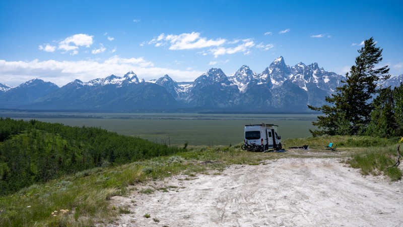
Perched just east of Grand Teton National Park, Shadow Mountain is one of the most sought-after dispersed camping zones in the Jackson area, and for good reason. As you climb the dirt roads that wind through aspen groves and open meadows, the Tetons rise dramatically in the west, unfolding a jaw-dropping panorama that feels straight from a postcard. This isn’t just camping, it's front-row wilderness immersion. Whether you're sleeping under the stars in a tent or pulling in with a fifth wheel in tow, Shadow Mountain delivers a rare blend of peace, scenery, and accessibility.
With sites scattered along pullouts, ridgelines, and tucked-away flats, there's a spot for everyone if you're willing to navigate the bumps and elevation. Early arrivals snag the most iconic viewpoints, but even the lower clearings offer serenity and sweeping vistas. Wildflowers blanket the hillsides in summer, and the dark skies are a stargazer’s dream. Shadow Mountain isn't just a place to camp, it's a destination worth returning to again and again.
Updated: 08/11/2026
Kirwin Trail
Kirwin, Wyoming
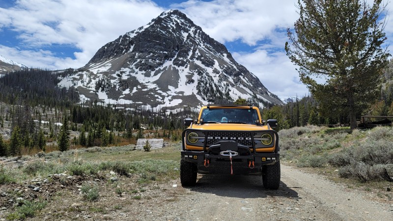
Kirwin Trail is a beautiful and exciting run deep into the Absaroka Range along the Wood River. The trail is an out-and-back running 11 miles each way. The route typically takes about 3 hours. At the trail's end sits the deserted Wyoming ghost town of Kirwin. The trail passes through a valley cut by water and time with mountains on both sides. Pine trees, sage, and scrub brush add color to the dramatic backdrop. It's always a good idea to pack bear spray as plenty of bears call the Absaroka home. Deer, antelope, and moose are also common in this area. The road to Kirwin is suitable for any 4×4 high clearance vehicle, including full-sized rigs. It's pretty easy going with a good bit of loose rocks and ruts, but nothing technical. The trail would earn an easy rating if it weren't for the numerous water crossings. But those crossings kick up the difficulty and the adventure a notch. Always be careful before taking on a water crossing. Verify the depth before just plowing through. Snow, runoff, and rain cause ever-changing river crossing conditions.
The Shoshone National Forest operates Brown Mountain and Wood River Campgrounds along the Kirwin Trail. Both campgrounds are free, but donations are accepted. Neither have potable water, but both have vault toilets. There is also ample dispersed camping along the Kirwin Trail.
Updated: 11/14/2025
Oregon Trail Road
Bessemer Bend, Wyoming
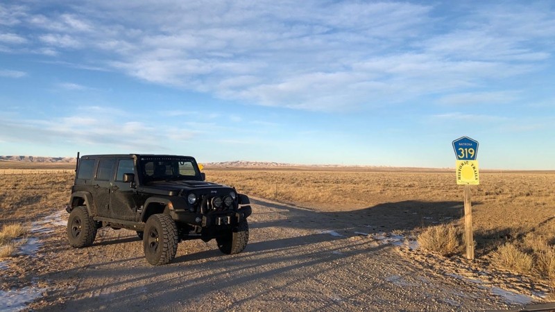
Oregon Trail Road starts 15 miles west of Casper off Poison Spider Road. Heading south the trail passes the Oregon Trail Pet Cemetery and the Avenue of Rocks, where W.H. Stephens of Winnebago County, Illinois, carved his name on July 5, 1849. A day later, he carved his name at Independence Rock. Later, the trail takes you past Willow Springs and Prospector Hill. The trail parallels State Highway 220 and eventually merges with it roughly 48 miles south of Casper and 10 miles north of Independence Rock.
Updated: 10/15/2024
Indian Trail
Atlantic City, Wyoming
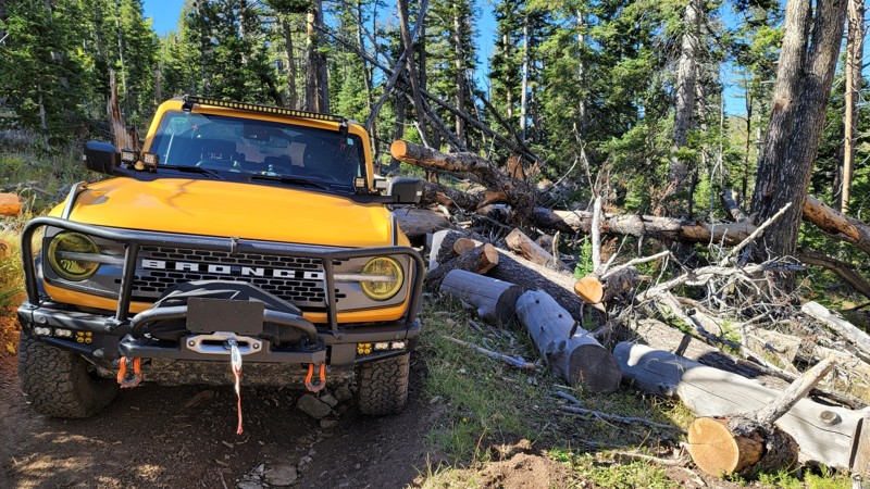
Indian Trail runs 10.5 miles from Wyoming Highway 28 across Freak Mountains to just above Sinks Canyon. The views along the trail are breathtaking. Keep your eyes open for all kinds of wildlife. This trail has a bit of everything including multiple rocky bottomed creek crossings, steep loose rock inclines and declines, narrow sections, and many large rock and root-filled stretches. Be sure to bring a saw. A 2-mile narrow heavily wooded tends to have deadfall across the trail. Most of the trail is narrow, making it difficult to pass oncoming rigs by. Snow makes this route impassable in winter. During spring, mud makes it impassable as well. The best times to do this route is early summer to late fall.
There are a few flat areas along the trail to camp, none of which have fire pits or rings. There's plenty of camping in the area along Louie Lake Road or in Sinks Canyon. Cell service is spotty at best in the area.
Updated: 10/15/2024
Clark's Draw
Bondurant, Wyoming
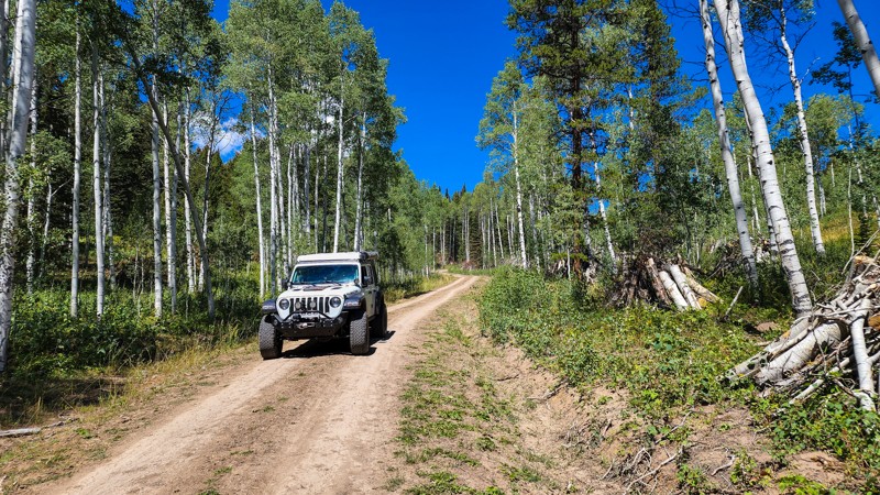
Following the Sandy Marshall Creek within the Bridger-Teton National Forest, Clarks Draw is an 8-mile rough dirt road used mainly as a connector to Monument Ridge and to create a loop with Cliff Creek. The road is open year-round for travel but does get extremely muddy during wet periods and becomes impassable in the winter due to snow. The eastern side has many Aspen trees making this a good location for fall color viewing. Due to the terrain, there are only a few camping opportunities along this road, but many more opportunities exist at the Cliff Creek hiking trailhead and all along Cliff Creek.
Updated: 09/10/2025
Crazy Woman Canyon Road
Open
/
Hazelton, Wyoming/
13.16 miles/
About an hour
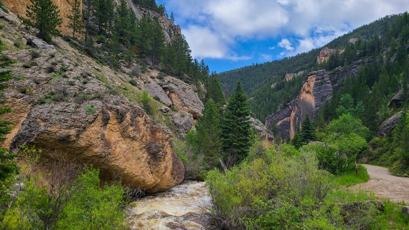
Scenic Crazy Woman Canyon Road winds alongside Crazy Woman Creek through the rugged beauty of Wyoming’s Bighorn National Forest. Few drives in the intermountain West can rival its sheer charm. This is more than just a road—it’s an experience worth seeking out.
From the oxide-stained cliffs and jagged rock formations to the rushing rapids of the lower canyon, every stretch offers something striking. As you climb toward the Powder River Pass, the canyon opens into wider expanses, with tranquil trout pools tucked along the creek. It’s the kind of place that invites you to slow down, roll down the windows, and take it all in.
For those wanting to linger, the route is dotted with dispersed campsites, making it a perfect destination for both a day’s drive and an overnight adventure. Crazy Woman Canyon isn’t to be missed.
Updated: 07/22/2026
Chilton Road to Killpecker Sand Dunes
Reliance, Wyoming
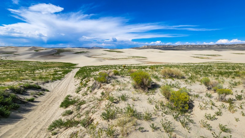
Located north of Rock Springs, Chilton Road is a 23-mile, easy, wide, packed dirt road used to access the Killpecker Sand Dunes ORV Area. The road into the dunes is very remote, and cell service is extremely spotty, but any passenger vehicle can traverse this road. The Killpecker Sand Dunes ORV Area is 11,000 acres of designated open play space. Soft sand from one million years of eroding volcanic lava and ash helped create this beautiful landscape that now offers enthusiasts the opportunity to conquer massive dunes up to 100 feet high. Before entering the dunes, there is a large campground with tables and fire rings and a vault toilet at the end of Chilton Road. Camping and riding are entirely free of charge.
Clay soils make the road muddy and impassable during wet periods.
Updated: 10/15/2024
Battle Creek Divide
Battle, Wyoming
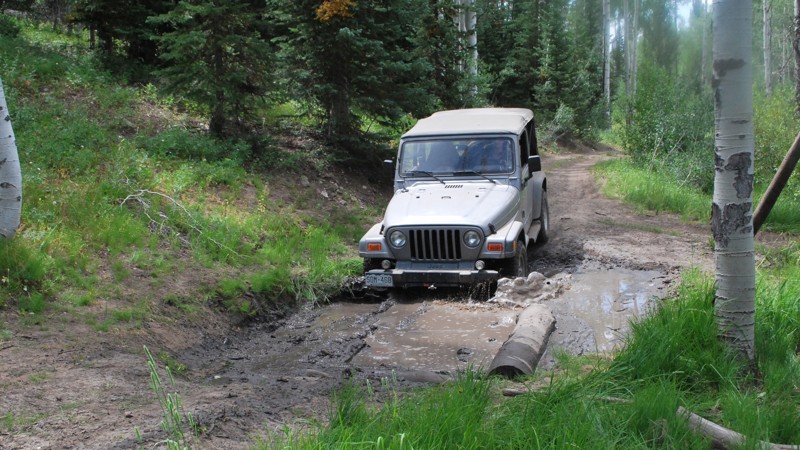
Battle Creek Divide climbs from Battle Creek Valley up along the ridge and eventually connects to Highway 70 across from Lost Creek Campground. This trail is more difficult than most of the trails in this area. Along the way, you will encounter moderately steep climbs, tight passages between trees, significant mud pits, picturesque aspen groves, and peaceful mountain meadows. Once you climb out of the valley, you will spend most of your time in dense forest. Occasionally it will open up to beautiful views of the mountains around you. After you pass the Baby Lakes hiking trailhead, the trail becomes easier on your way to Lost Creek Campground.

Updated: 05/06/2023
Jelm Mountain Road
Woods Landing, Wyoming
Jelm Mountain Road is in Southeast Wyoming about 40 minutes from Laramie. This trail lies on the outskirts of the beautiful Medicine Bow-Routt National Forest. This road was originally created to be the home for a USFS fire tower, which was predominantly used to report fires before aircraft became the popular method. The Jelm Mountain fire tower was used in conjunction with the fire tower atop Deadman Hill, just SE of the Jelm Mountain fire tower, and together were used to report fires in and around the surrounding areas, including the Laramie Basin and Laramie River valley. In 1975, the fire tower was decommissioned and replaced with an observatory. After 2 years of construction, the WIRO (Wyoming Infrared Observatory) started making its first observations. Jelm Moutain was chosen as a site for the observatory, due to its proximity to the University of Wyoming, low-light pollution, low atmospheric moisture (which can interfere with observations), and existing power and phone service. This trail is not the most interesting trail to drive on if you are looking for a purely off-roading experience, but it provides stunning views of the area as well as a very interesting piece of equipment located at the top. You can even schedule a tour if astronomy is your passion!

Updated: 06/02/2024
Centennial Ridge
Centennial, Wyoming
Centennial Ridge lies just to the west of the "Gateway to the Snowys", Centennial, Wyoming. Founded in 1876, Centennial received its name for being founded on the nation’s 100th birthday. Centennial Ridge has a deep history of mining and logging to make railroad ties for the transcontinental railroad being built through nearby Laramie. Gold was discovered at the Queen Mine during this time and later discovery of platinum prompted the mine to be dubbed "The Platinum Queen." Remnants of this historic mine still exist along the Centennial Ridge Road. This trail offers a short off-road experience into Wyoming’s history.

Upgrade your Membership
Unlock all of the details on every Trail Guide and Scout Route.
Start a 7-day Free TrialCommunity
Partners

