



By clicking "ACCEPT", you agree to be the terms and conditions of each policy linked to above. You also agree to the storing of cookies on your device to facilitate the operation and functionality of our site, enhance and customize your user experience, and to analyze how our site is used.
Washington Off-Road Trails
187
Total Trail Guides 183

1735
Detailed Waypoints 156
Try a Free 7-Day Trial and unlock it all
Start a Free Trial Most Recent Trail Reviews
Rated 5/5
Open
Visited: 09/20/2026
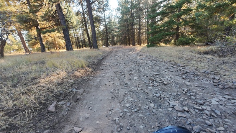
Traveled down from NS1712. The NS1711 is steep and loose gravel into the lower section along the hill side where the road surface becomes more level with gravel surface. Fantastic views from the top ...


John Kapelski
Official Crew
Rated 5/5
Open
Visited: 09/19/2026
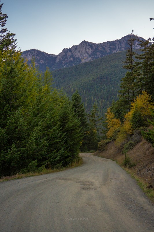
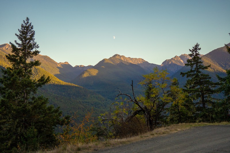
Drove up the mountain to go hiking. The potholes were pretty bad this year throughout.

Jasmine & Jon Hughes
Official Crew
Jasmine & Jon Hughes
Official Crew
Jasmine & Jon Hughes
Official Crew
No Rating
Open
Visited: 09/19/2026
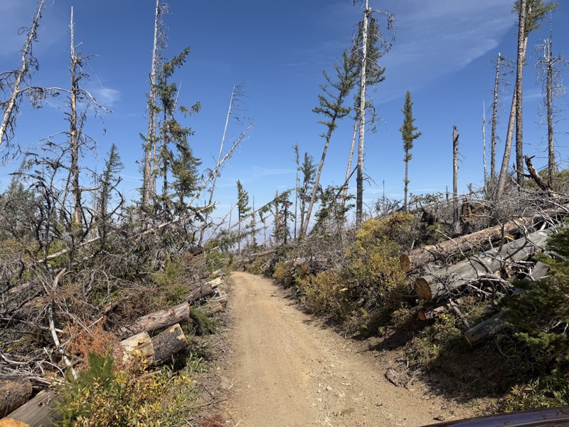
I drove this trail from the Wenatchee side all the way to Table Mountain Road in a Wrangler Rubicon. The Mission Ridge area had a couple of deep washouts on a narrow section of the road that were slo...
TS
Tom Stephens
Rated 4/5
Open
Visited: 09/13/2026
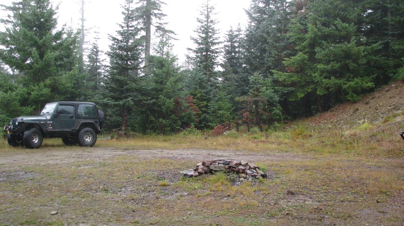
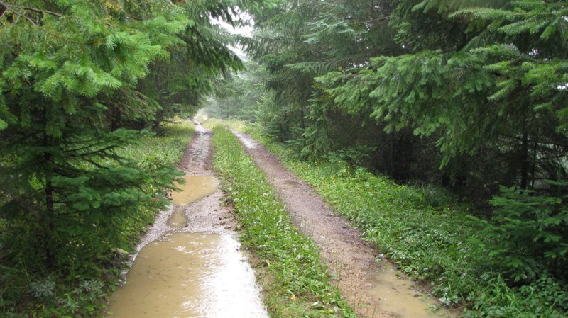
Easy hill climb to three very nice camp sites. Enclosed tree branches will provide compilatory light pinstriping and a mirror adjustment. First camp provides the most room for a group. Small trailer f...
John Kapelski
Official Crew
Rated 4/5
Open
Visited: 09/13/2026
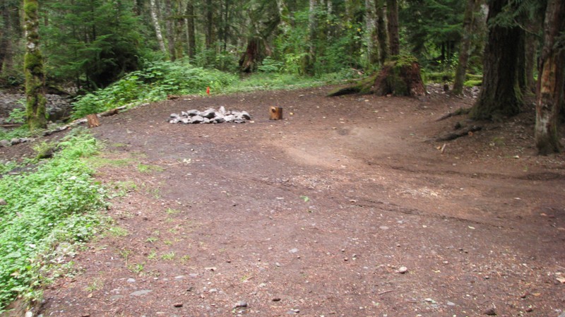
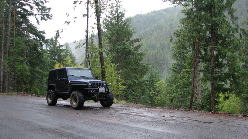
Short and sweet, Midnight Creek is an enjoyable drive through the forest at lower elevations. A dense canopy provides plenty of cool shade while the lush vegetation and abundant mountain runoff showca...
John Kapelski
Official Crew
Rated 5/5
Open
Visited: 09/13/2026
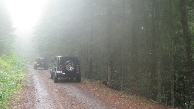
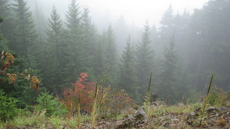
What a gem of a road! Even beneath the clouds, the route offers beautiful scenery, with early fall colors beginning to emerge and mist drifting through the surrounding mountains and forest of moss cov...
John Kapelski
Official Crew
Rated 1/5
Open
Visited: 09/13/2026
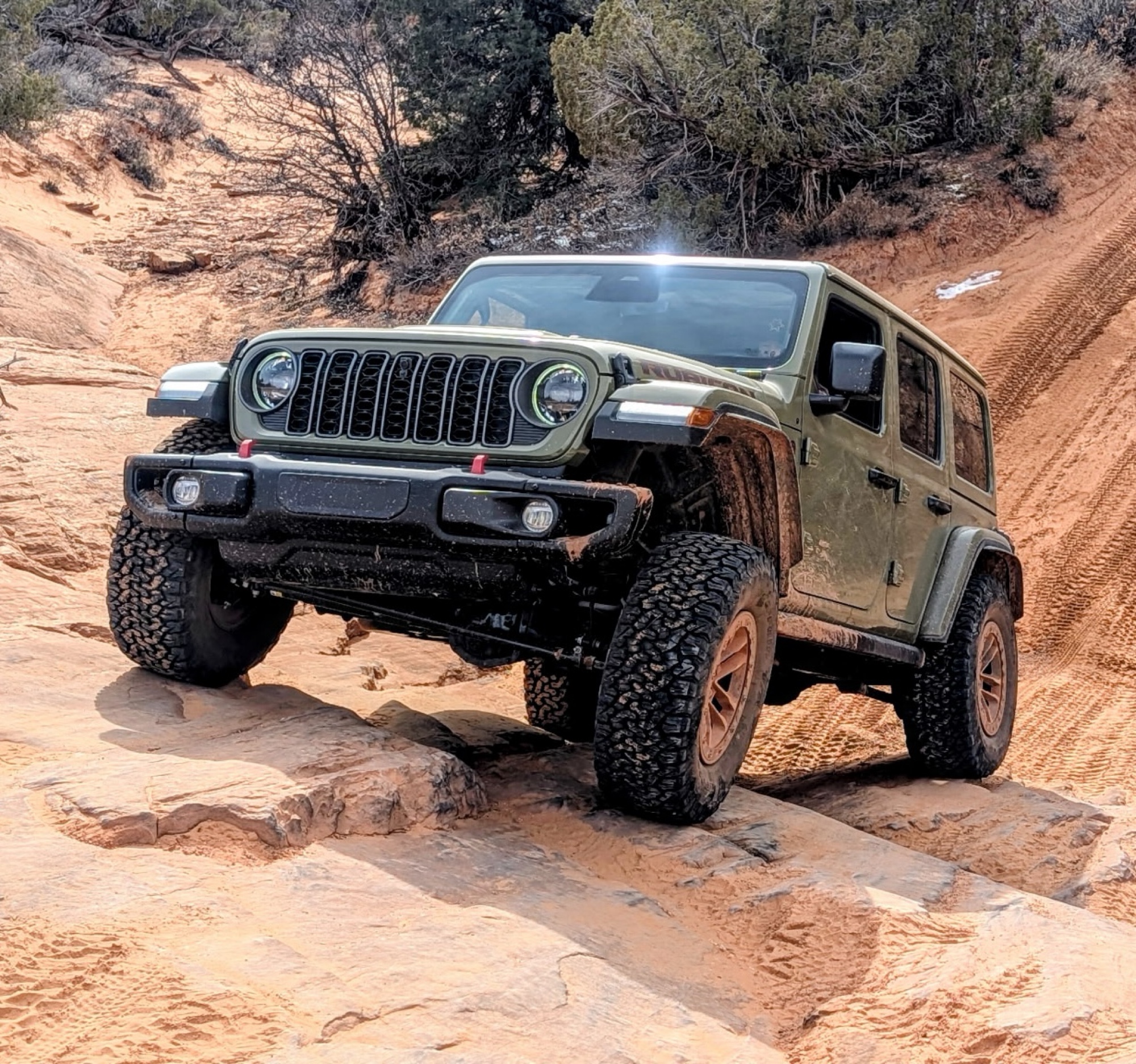
Total snooze fest. The most interesting part of the trail was when I ensured the gun was loaded driving past some local tweakers. Nothing to see here, much like the rest of the BOH trails in the PNW.
Francis whitney
Rated 3/5
Open
Visited: 09/09/2026
Beach access is easy and just about any vehicle can drive on the hard packed sand. A very important part that is not mentioned on the trail description is that driving on beach dunes is prohibited. Al...
Bill
Rated 5/5
Open
Visited: 09/07/2026
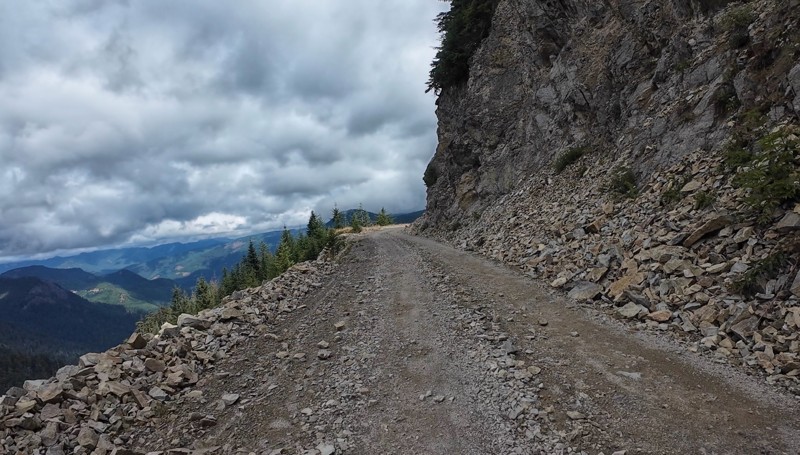
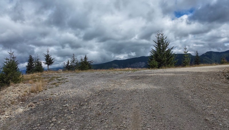
Very cool trail with multiple large campsites along the creek’s at the lower sections. Generally easy road surface with washboard areas.
John Kapelski
Official Crew
Rated 5/5
Open
Visited: 09/07/2026
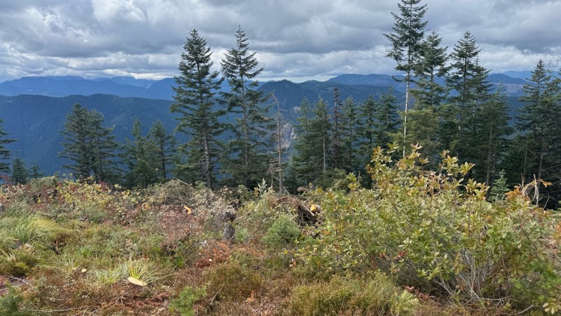
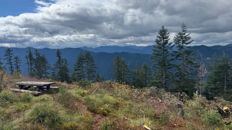
Road is easy and steep. Nice views thought the trees on the way up. Fabulous 360 degree views from the top. Cloudy days was not disappointing!
John Kapelski
Official Crew
No Rating
Open
Visited: 09/05/2026
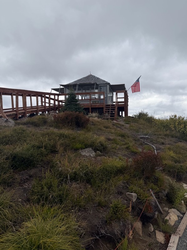
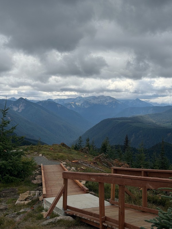
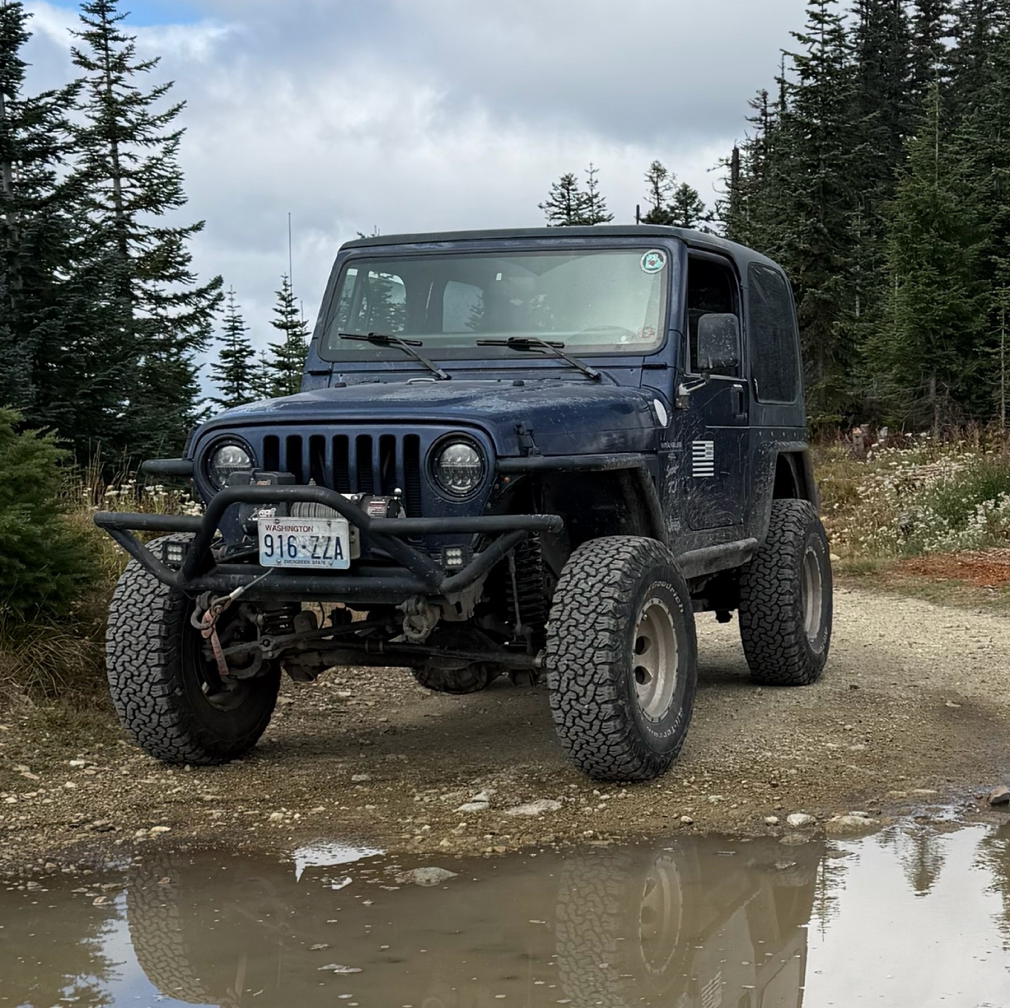
Difficult rating was spot on. Did the whole trail in 2 wheel drive. Grate views at the top
Austin Kapelski
Rated 4/5
Open
Visited: 09/05/2026
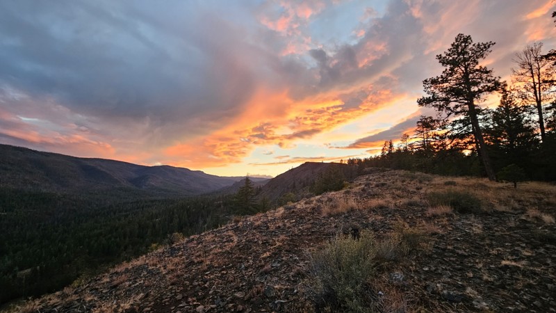
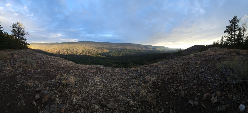
Nice quick camping trip, the campsite at the end of the road is still gorgeous, and sunsets are still pretty. the walk up to the actual devil's table is about a mile one way and 400' up, but nice view...

Ryan Wallace
Official Crew
No Rating
Seasonal Closure
Visited: 09/01/2026
According to this trails management agency, the trail is likely closed for the season.
You can reach out to the agency for more details.
Be sure to leave us a report and let us know ...

Trails Offroad
Official Crew
Rated 5/5
Open
Visited: 08/29/2026
Fun track with two people who have done this before and two, who haven't, a couple of nice waterfalls, and a good mix for everyone.
TW
Timothy Watson
No Rating
Partially Open
Visited: 08/29/2026
Tried access from North Wenas Highway at waypoint 8. Gate was posted with No Public Access. I would imagine waypoint 7 is the same as it appears to be private land???? Was not able to find access to w...
John Kapelski
Official Crew
Rated 5/5
Open
Visited: 08/28/2026
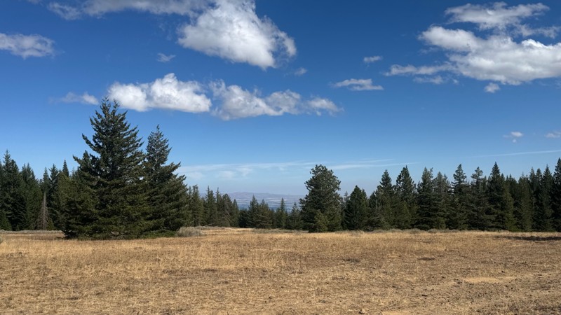
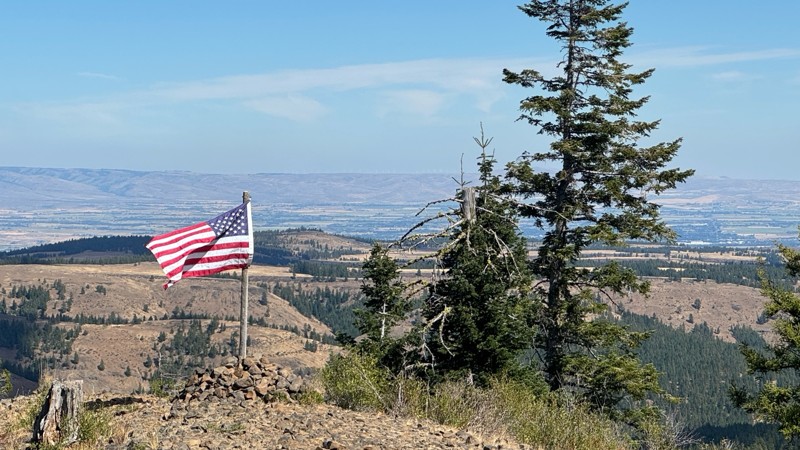
Continued from Rocky Flat,FS1701, down to Manastash Road. About 80% of the trail is down hill and never disappoints on the fun scale. More challenging that the 1701 and great views of the South Fork M...
John Kapelski
Official Crew
No Rating
Open
Visited: 08/28/2026
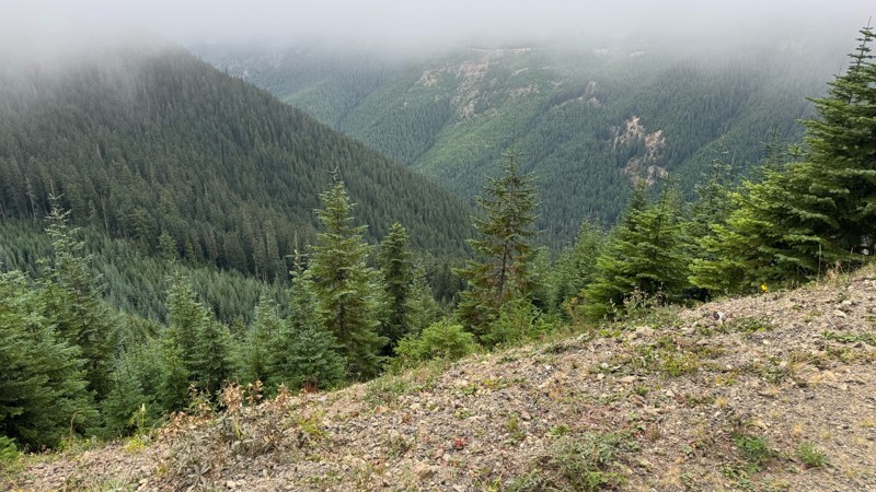
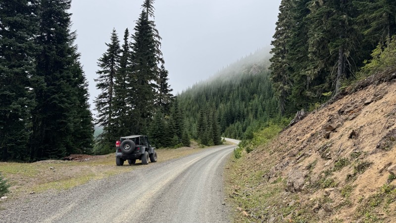
A great alternative to the Pyramid Pass route. Great camping looking over to Naches Trail
John Kapelski
Official Crew
Rated 5/5
Open
Visited: 08/28/2026
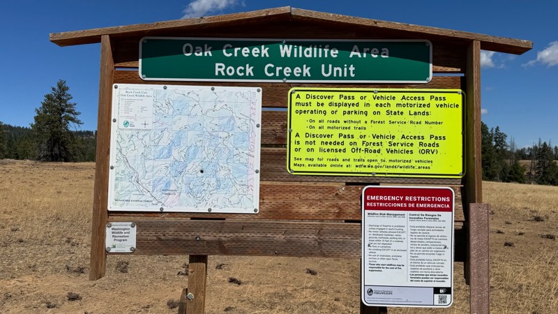
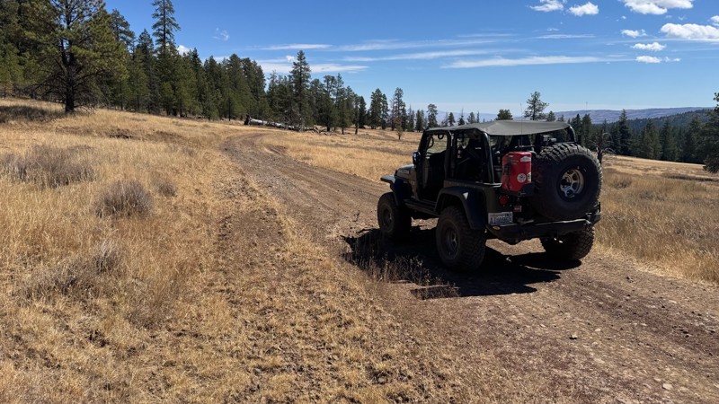
Nice dive up to waypoint 6 at five corners. Not as smooth as the initial incline but very scenic with great views to the west and east.
John Kapelski
Official Crew
No Rating
Open
Visited: 08/28/2026
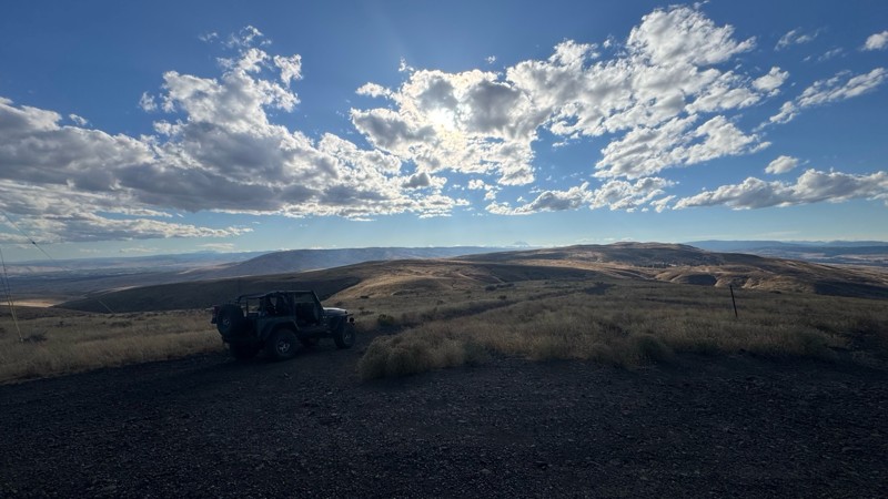
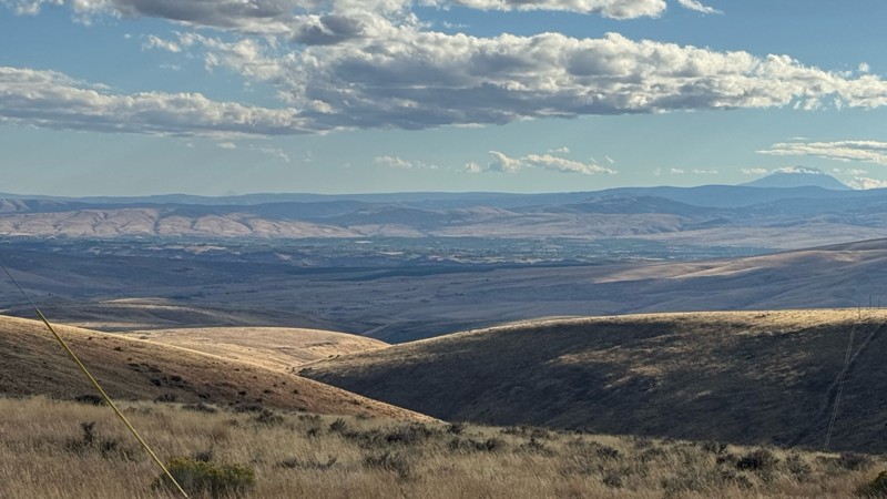
Connection area to Durr Rd and Old Durr Rd along with other trails is a bit confusing as there are “short cuts” to the same road. Umtanum Ridge is ruff. The high point is next to the towers with fant...
John Kapelski
Official Crew
No Rating
Open
Visited: 08/28/2026
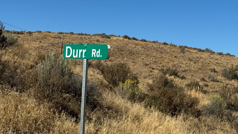
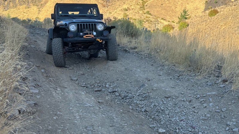
I drive this in the reverse direction of publish. Started out wide and smooth gravel surface than turned into a ruff narrow shelf road with limited places to pass. Best camping was at waypoint 3 by th...
John Kapelski
Official Crew
Rated 4/5
Open
Visited: 08/28/2026
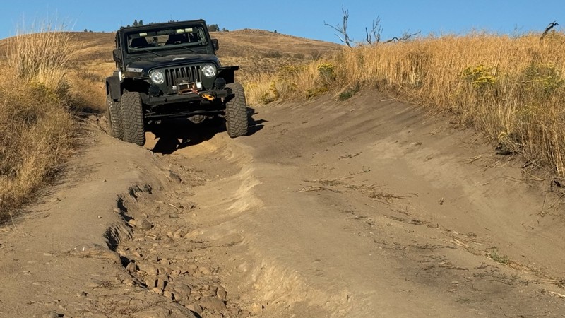
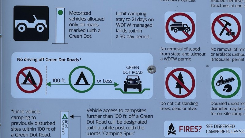
Waypoint 4-5 has changed due to water run off by exposing more rock face and creating deep ruts.
Large flat campsite next to waypoint 4, go straight before making the turn. It is the only site that ...
John Kapelski
Official Crew
Rated 4/5
Open
Visited: 08/28/2026
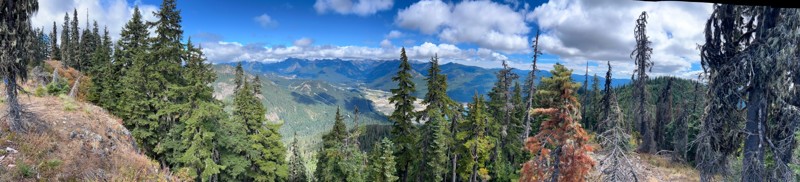
Incredible view on top! Unfortunately saw a group packing up camp on our way up and on our return down they had left lots of trash and a fire still burning during extreme fire danger and burn ban! We ...
J
Jason
Rated 4/5
Open
Visited: 08/20/2026
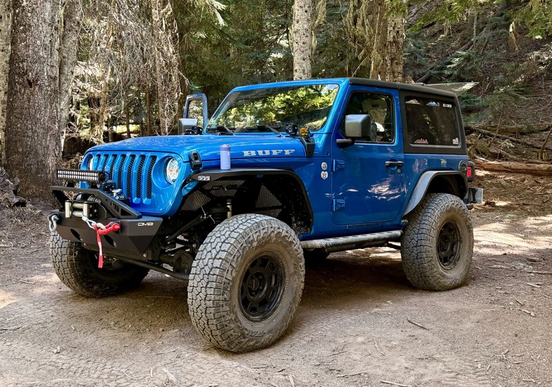
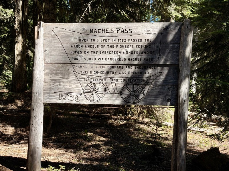
The trail is in great shape minus the section where the bridge is down. Ran into 1 other vehicle a SxS going east we were headed west. At the PCT cabin we talked to 4 through hikers refueling themselv...
CD
Carl Duester
No Rating
Open
Visited: 08/20/2026
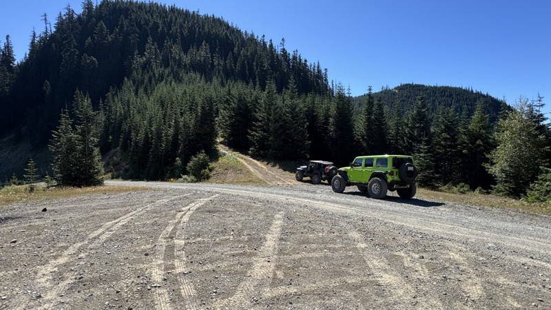
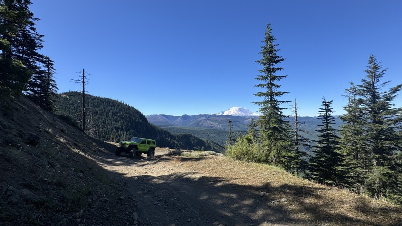
This road system offers continuous views of Mount Rainier to the south while climbing toward the rugged peaks of the northern Cascade Range. This short, enjoyable trail is well worth the few extra mi...
John Kapelski
Official Crew
Rated 3/5
Open
Visited: 08/17/2026
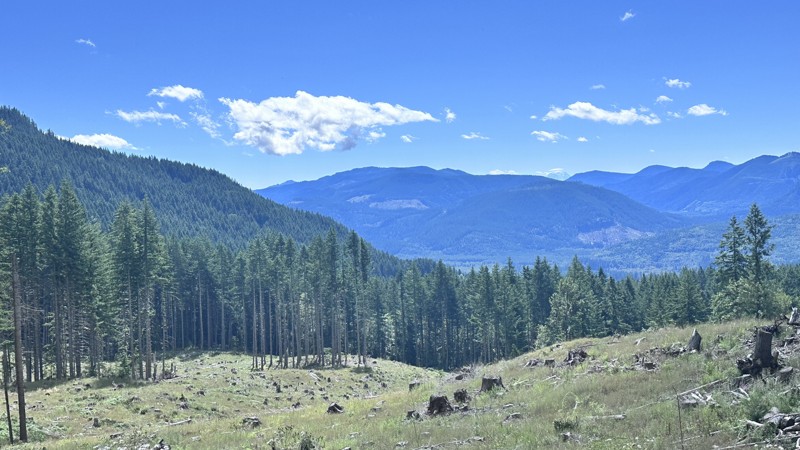
5 Road is exactly that a dirt road. Any 2WD vehicle can easily negotiate this trail. This trail is trailer friendly, but some of the tight turns are not suitable for longer trailers/campers. There are...

Eric Gartin
Official Crew
Rated 5/5
Open
Visited: 08/16/2026
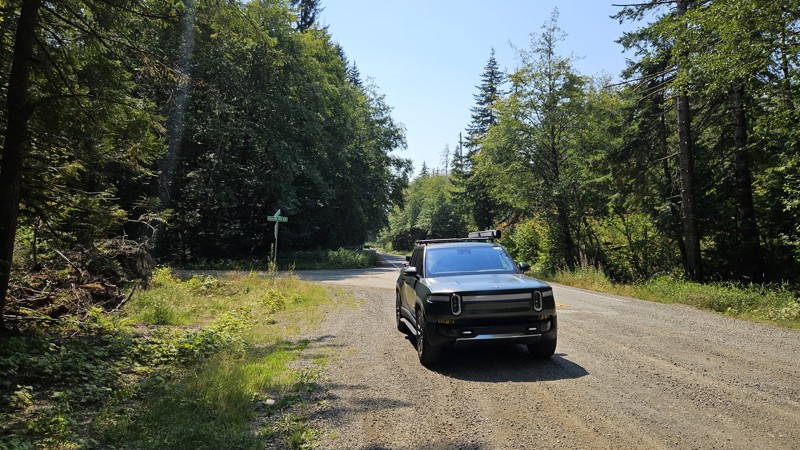
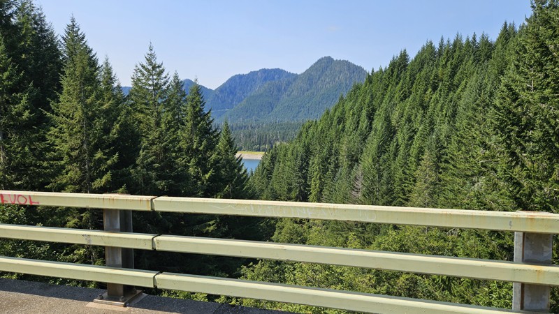
Our trip around the Wynoochee Loop was a mix of incredible scenery and some pretty technical driving. Traveling counterclockwise, we really felt the challenge starting on the final climb to the peak. ...
Ryan Wallace
Official Crew
Rated 5/5
Open
Visited: 08/15/2026
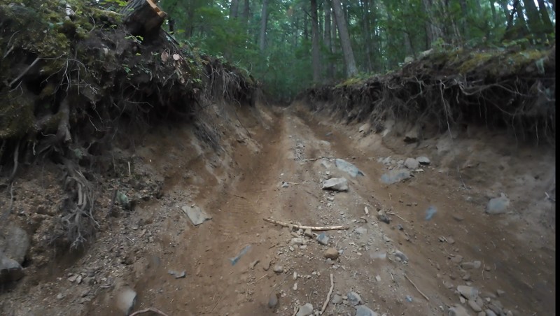
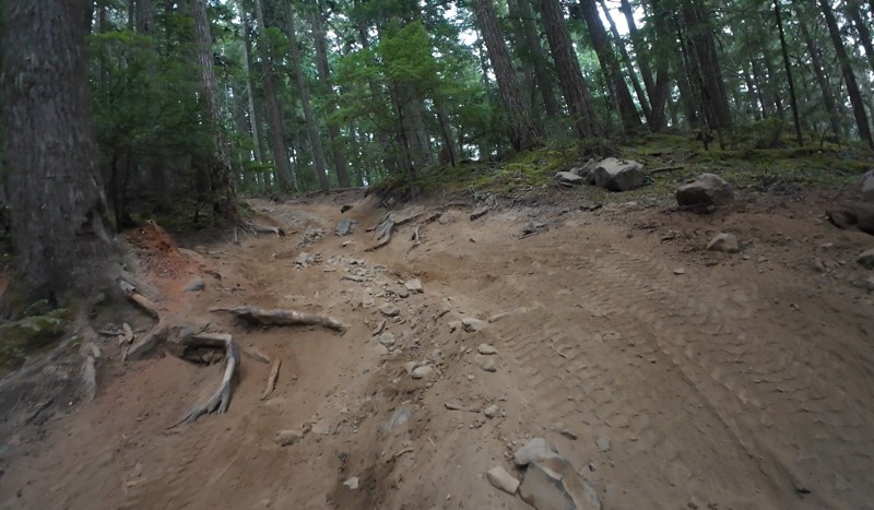
Wonderful day!!!!! Meet a two fellas doing their first trail ever. Shame on me for getting more photos. They had a BLAST!!!!! Hope to see them again.
John Kapelski
Official Crew
No Rating
Open
Visited: 08/11/2026
Per the MVUM, the trail is seasonally open. As always, check current fire restrictions/closures before venturing out.
Trails Offroad
Official Crew
No Rating
Open
Visited: 08/11/2026
Per the MVUM, the trail is seasonally open. As always, check current fire restrictions/closures before venturing out.
Trails Offroad
Official Crew
No Rating
Open
Visited: 08/11/2026
Per the MVUM, the trail is seasonally open. As always, check current fire restrictions/closures before venturing out.
Trails Offroad
Official Crew
No Rating
Open
Visited: 08/11/2026
Per the MVUM, the trail is seasonally open. As always, check current fire restrictions/closures before venturing out.
Trails Offroad
Official Crew
No Rating
Open
Visited: 08/11/2026
Per the MVUM, the trail is seasonally open. As always, check current fire restrictions/closures before venturing out.
Trails Offroad
Official Crew
No Rating
Open
Visited: 08/11/2026
Per the MVUM, the trail is seasonally open. As always, check current fire restrictions/closures before venturing out.
Trails Offroad
Official Crew
No Rating
Open
Visited: 08/11/2026
Per the MVUM, the trail is seasonally open. As always, check current fire restrictions/closures before venturing out.
Trails Offroad
Official Crew
No Rating
Open
Visited: 08/11/2026
Per the MVUM, the trail is seasonally open. As always, check current fire restrictions/closures before venturing out.
Trails Offroad
Official Crew
No Rating
Open
Visited: 08/11/2026
Per the MVUM, the trail is seasonally open. As always, check current fire restrictions/closures before venturing out.

Todd
Official Crew
No Rating
Open
Visited: 08/11/2026
Per the MVUM, the trail is seasonally open. As always, check current fire restrictions/closures before venturing out.
Todd
Official Crew
No Rating
Open
Visited: 08/11/2026
Per the MVUM, the trail is seasonally open. As always, check current fire restrictions/closures before venturing out.
Todd
Official Crew
No Rating
Open
Visited: 08/11/2026
Per the MVUM, the trail is seasonally open. As always, check current fire restrictions/closures before venturing out.
Todd
Official Crew
No Rating
Open
Visited: 08/11/2026
Per the MVUM, the trail is seasonally open. As always, check current fire restrictions/closures before venturing out.
Todd
Official Crew
No Rating
Open
Visited: 08/11/2026
Per the MVUM, the trail is seasonally open. As always, check current fire restrictions/closures before venturing out.
Todd
Official Crew
No Rating
Open
Visited: 08/11/2026
Per the MVUM, the trail is seasonally open. As always, check current fire restrictions/closures before venturing out.
Todd
Official Crew
No Rating
Open
Visited: 08/11/2026
Per the MVUM, the trail is seasonally open. As always, check current fire restrictions/closures before venturing out.
Todd
Official Crew
No Rating
Open
Visited: 08/11/2026
Per the MVUM, the trail is seasonally open. As always, check current fire restrictions/closures before venturing out.
Todd
Official Crew
Todd
Official Crew
Todd
Official Crew
Most Popular


Updated: 08/27/2024
Stampede Pass
Temporary Closure
/
Greenwater, Washington/
12.41 miles/
About 3 hours
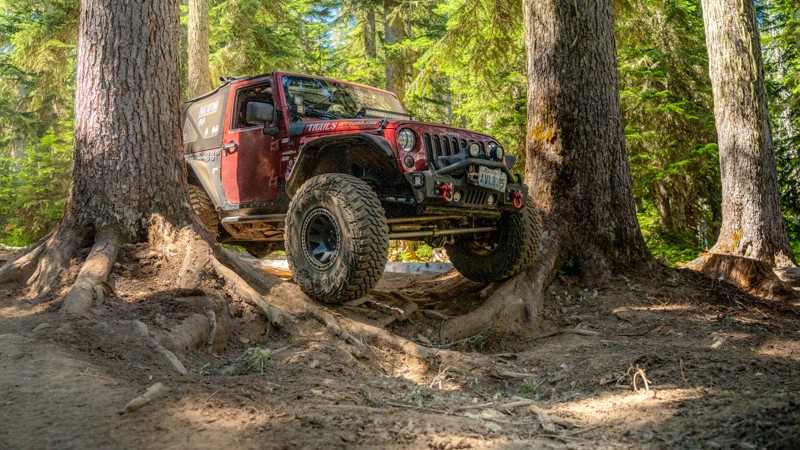
Stampede Pass is a mountain pass through the Cascade Range, just south of Snoqualmie Pass in Washington. Its importance to transportation lies almost entirely with railroads, as no paved roads cross it. The pass was originally created to build and maintain the railways that traveled in both directions across the Cascade Mountains in Washington State. The incredible views of Mount Rainier and the surrounding Cascade Mountain range make this 12-mile offroad trip worth the time.
Updated: 08/08/2025
Naches Trail
Open
/
Snoquera, Washington/
12.4 miles/
About 4 hours
Traversing the mountain spine of the Cascades, connecting western and eastern Washington, the Naches Trail is a demanding trail known for its technical terrain, stunning alpine scenery, and deep historical roots. Naches began as a Native American trade route and later served as a settler wagon trail, a military route, and a cattle path. The Longmire wagon party crossed it in 1853, and Jeep clubs revived it in the 1950s, preserving its legacy as an offroad trail. Though once proposed as a state highway, it remains undeveloped, offering a raw driving experience that winds through dense forests, opens to sweeping ridgelines with views of Mount Rainier, and passes through peaceful meadows. Proudly wearing the distinction as a Jeep Badge of Honor, Naches is a seasonal trail that delivers a blend of challenge, beauty, and heritage that defines Pacific Northwest off-roading.

Updated: 05/04/2024
North Fork Snoqualmie Road
Snoqualmie, Washington
Located just outside of North Bend, this route affords visitors from the Seattle area access to the wild forest without requiring a long drive. Although not technically challenging, this road offers great views of the Snoqualmie River, making it a top destination for fishing and kayaking enthusiasts. Looking for some free camping? Well, you would be making a good choice by taking this route as there are many campsites scattered along the way. Several primitive trails allow vehicle access right down to the riverbank, making for great picnic or camping opportunities. Due to its low elevation, this road is accessible throughout the year, which also makes it rather popular in the winter months. Those looking for more adventure can continue along one of the several forest roads that branch out at the end of this route.

Updated: 09/04/2024
NF 7720
Wilkeson, Washington
NF-7720, just outside Wilkeson, WA, is in the Mt. Baker - Snoqualmie National Forest. This road is a 15.39-mile journey to "Cedar Lake" overlook. Cedar Lake is landlocked with no road access. There is a hiking trail at the end of the trail that you can take down to the lake for a truly magical experience. The road is picturesque and presents various challenges throughout the year. The trail can become muddy with early snowmelt in the spring and late fall rains, adding an element of difficulty for travelers. It winds through a network of Forest Service roads, offering stunning overlooks of Mount Rainier to the south, Tacoma and the Puget Sound to the west, and, on a clear day, the Canadian Cascades to the north. As travelers venture further, the last couple of miles become increasingly rugged, featuring a steep Hillclimb that leads to the end of the trail and the lookout onto Cedar Lake. Vehicles and passenger cars with high clearance and four-wheel drive may need help to navigate this demanding terrain. Additionally, the road travels through old-growth forests, providing a scenic and immersive experience for those who brave the journey.

Updated: 06/27/2024
FS-75 to Lonesome Lake
Greenwater, Washington
Lonesome Lake is a beautiful crystal clear alpine lake that is located at the top of FR-75. The name of the lake was adopted in the winter of 1935 when a young couple that made many trips to the lake got in a huge quarrel and split up. While Johnie and Clyde were split, Clyde went to the lake where he ended up snowed in with 8 feet of snow. While sitting lonesome by the fire one night he grabbed a piece of steel heated it up and wrote the words, "Lonesome Lake" on a piece of wood and nailed it to a tree. The name took like glue and today the lake is visited by more than 4000 people per year. The incredible views of Mount Rainier and the surrounding Cascade Mountian range make this 15-mile trip well worth the time. On a clear day, there will be many opportunities to take some stunning photos of majestic Mount Rainier.

Updated: 05/04/2024
Spada Lake
Open
/
Gold Bar, Washington/
9.25 miles/
About 2 hours
Spada Lake trail crisscrosses over Olney Creek as you climb up to Sultan Basin and Spada Lake Reservoir, surrounded by the Bald and Blue Mountains in this peaceful and windy wooded forest. Enjoy the quiet scenery of Spada Lake, or make a day of it and hike to Grieder and Boulder Lakes, which begin at the South Shore Recreational Site.

Updated: 06/05/2024
Skyline
Open
/
Camas, Washington/
2.96 miles/
About an hour
Exciting terrain awaits you as you wind up through a clear-cut area. The off-camber areas might have your passengers a little worried, but with patience and care, you reach the skyline with some gorgeous views of the surrounding valleys and glimpses of Mt. Adams. After you take in the views, you then dip back down into the next valley through cool, dark old-growth forest, leading you to a few other trails in the area such as Snaggle Tooth and Screech Owl. This will make for an awesome afternoon with a little something for everyone.

Updated: 02/25/2025
Fortune Creek Trail
Roslyn, Washington
Fortune Creek trail is located just North of Roslyn, Washington (home of the hit TV show "Northern Exposure"). It is only accessible for four-wheel drive vehicles from the middle of June till November. With the trail connecting to several other great trails in the area, it makes for an excellent day trip. It is a very easy nontechnical trail that can be enjoyed by any four wheel drive vehicle with adequate ground clearance. This trail follows an old mining road that was cut back at the turn on the century in search of gold. If you look carefully you will still see Federal mine claim signs just off the trail and old rusted mining equipment. At the end of the six mile trail, you will be surprised to find beautiful Lake Gallagher. This trail is filled with beautiful vistas, large mountains, and many areas to camp and explore.

Updated: 04/22/2024
Bethel Ridge
Naches, Washington
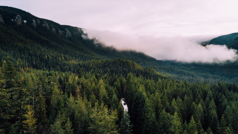
Bethel Ridge is a nearly 6-mile-long drive through the Okanogan-Wenatchee National Forest. Bethel has many things to offer, like views of the surrounding mountains, including Adams, Rimrock Lake, and of course an amazing ridgeline view. A frequent attraction of travelers on this road is taking a picture of their vehicles overlooking the ridge below, in Waypoint 4. After the viewpoint, you’ll turn left into the woods, and face some challenges, including various dips and a few shallow drop-offs into small water holes. After this romp among the trees, the trail opens up again for a leisurely drive as you finish the trail, and enter DNR land.
This trail is part of the Washington Cascade Overland Route. Visit Cascade Overland Route for more information, including which trails to take next. If you are already following the Washington Cascade Overland Route, this will be the first trail posing challenges, though not the last.
Updated: 07/01/2023
Bon Jon Pass
Blyn, Washington
Bon Jon Pass is one of many long trails located in the Olympic National Forest and has historically been used for logging. During your trip through the dense evergreens, you’ll pass through valleys and high ridges with an occasional view of the eastern Olympics. The Mount Zion hike is a popular interest as well. The hike is just under 2 miles in length and has an elevation gain of over 1,300 feet. At its peak, you will find additional views of the Olympics with a bit of searching. In the winter, if you are lucky, it may snow and transform Bon Jon Pass into an easy snow wheeling trail or a winter wonderland for the family. So, take some time and get lost in the woods, just for a little bit.

Updated: 06/03/2024
Roaring Ridge Lookout
Hyak, Washington
While driving eastbound over Snoqualmie Pass, Roaring Ridge is a noticeable mountain on the other side of Keechelus Lake. Once the site of a fire lookout that has since been torn down, the trail leads up a ridge with scenic views of Lost and Mirror Lakes, terminating at a wide-open area with an amazing panoramic view. From the summit, Interstate 90 is clearly seen as well as surrounding peaks, almost in an unobstructed 360-degree view. The relative difficulty of this route means you typically get to enjoy this scenic location all to yourself. This route provides drivers with a mild challenge and views that are arguably some of the best in the cascades. During the fall, this trail is lit up with all sorts of red, orange, and yellow hues.

Updated: 09/24/2023
Cayada Creek
Wilkeson, Washington
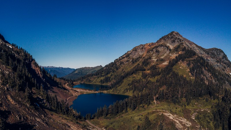
Cayada Creek is a forest service road used to explore some really interesting places. First is the Clipper Mine, an abandoned mine that is still accessible. Take your flashlights and explore more than 100 yards deep into the belly of the mountain. Next is Coplay Lake, this is a high alpine lake with a few camping spots and some very good trout fishing. There are a few spur roads that lead you away to lookouts and weekend camping spots along the way to explore. The final destination is the hiking trailhead for Summit Lake Trail, a short 3-mile hike and access to a network of hiking trails that lead you to some pretty spectacular scenery. You can spend an entire day exploring all the fun this forest road has to offer.
Updated: 06/20/2023
Twin Lakes
Glacier, Washington
Twin Lakes is a campground and hiking trailhead located 7 miles deep and 1 mile high into the Mt. Baker-Snoqualamie National Forest. This hidden gem in the Cascades won't disappoint. Getting its namesake from the pair of lakes tucked away high in the Northern Cascades, the trail is surrounded by trees for most of the drive, with several small waterfalls scattered throughout. Twin Lakes has a few designated campsites spread around the lakes, though there are plenty of level spots dispersed spots to make camp as well. Once you set up camp, there are additional trails to continue hiking through the mountains.

Updated: 05/11/2024
Hansen Creek - NF 5510
North Bend, Washington
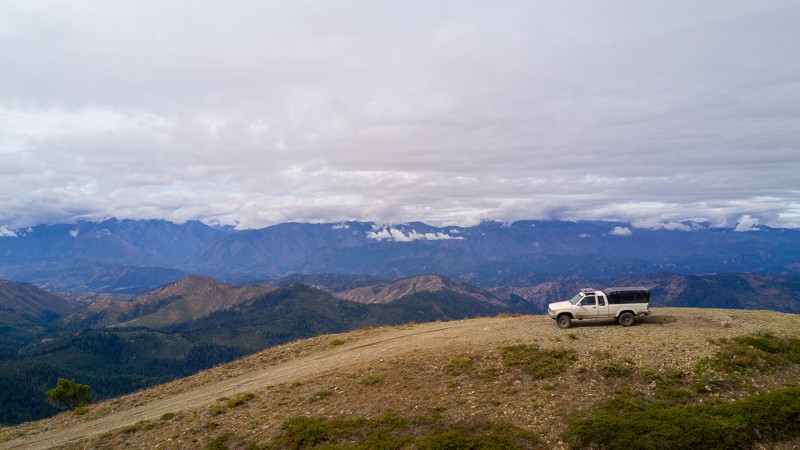
The trail is a nice gravel road that can lead you to some beautiful hiking destinations. Humpback Mountain, Little Saint Helens, and Scout Lake are all short trails that have their hiking trailheads at various spots along this forest road. Note that short does not mean easy in this case, you will work your way over rocks, steep hills, and a few ruts to get to the unique and picturesque views. If the snow level drops to 3000ft don't forget to spend some time at the parking lot/borrow pit at the end and enjoy the tranquility.
Updated: 06/21/2022
Entiat Ridge Road
Cashmere, Washington
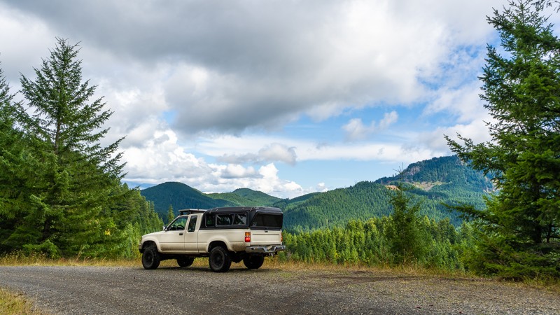
Entiat Ride Road is a great trail packed with fascinating history, beautiful views, and unique camping. The trail starts out near the summit of Chumstick mountain; a prominent point on the long Entiat Ridge. A cabin was built at the summit in 1931, though it was removed in 1967. As the route continues on, you’ll pass by Sugarloaf, a fire lookout that’s still actively used. It’s staffed by a seasonal fire lookout, so a visit may lead to some great stories, but please be courteous and respect their privacy. Entiat Ridge provides both wide-open views and confined treed areas, as well as long stretches of fast cruising, and slow ridgeline driving. For campers, there is plenty of dispersed camping available, but White Aspen Camping offers a more lavish experience. The trail is located 13 miles north of Cashmere, 10 miles east of Leavenworth in Okanogan-Wenatchee National Forest, and is a great choice for overlanders, hikers, and history buffs alike.
Sugarloaf Peak is both one of the earliest established and still actively used fire lookouts in Washington State. When it was first established in 1914, the lookout was merely a campsite with fire finding instruments atop basalt columns. The route to and from the site was a primitive road and sheepherder trail from the town of Leavenworth. In 1924, a more permanent D-6 cupola structure was created at the summit, requiring blasting to remove some of the basalt pinnacles to lay the foundation. The nearby roads were extended, and a wood frame garage was also erected nearby the lookout. In 1949, the structure from 1924 was replaced by an L-4 cab that had been taken from Lion Rock and relocated to Sugarloaf.
Several wildfires have threatened Sugarloaf over the years, the first being the 120,000-acre Entiat Fire, and again in 1994 by the Tyee-Hatchery fire, which encompassed 180,000 acres. The lookout, Karl Rahder, had been forced to evacuate and was informed that the lookout had surely been destroyed. Thankfully, it had survived thanks to a Forest Service Strike Team leader, who had used a flare gun to ignite the area around the tower. Unfortunately, the garage and outhouse were lost in the fire. In 2018, the lookout was threatened once again by the Cougar Creek fire, requiring evacuation of Sugarloaf. Fire crews wrapped the lookout in fire reflective heavy foil, and the fire stayed about a quarter-mile away.
This trail is part of the Washington Cascade Overland Route. Visit Overlanding Across Washington for more information, including which trails to take next.
Updated: 02/05/2025
NF-6808
Carson, Washington
NF-6808 is an easy trail that takes you from the southern edge of Washington, near the Columbia River, into the Gifford Pinchot National Forest. A nice area with light trails, that is welcoming for newcomers and experienced travelers alike. While it lacks in challenges, NF-6808 leads you on to further adventures deep in the forests and mountains of Washington. This trail is part of the Washington Cascade Overland Route. Visit Overlanding Across Washington for more information, including which trails to take next.

Updated: 06/23/2023
Lennox Creek
Snoqualmie, Washington
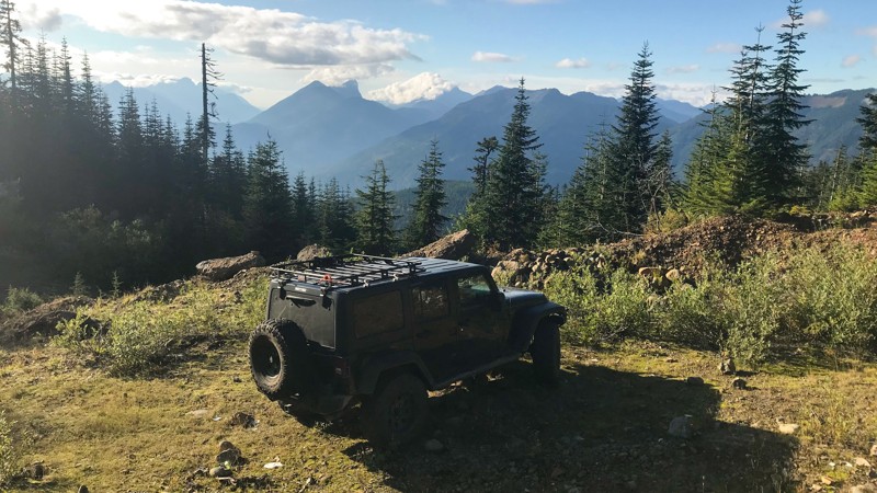
Lennox Creek is a tributary of the North Fork Snoqualmie River located just 38 miles outside of Seattle, making it a popular weekend getaway for local residents. The recently repaired Lennox Creek Bridge now allows vehicle access to this trail which for many years was limited to hikers and foot traffic. Access to this area provides visitors with a gateway to miles of alpine splendor and not often visited lakes. This trail runs along the bank of the creek and is a relatively easy drive through the forest. Most notably the trail offers vehicle access right down to the water at several points, a rare treat for offroad enthusiasts. Kids and dogs are sure to enjoy exploring the riverbank and sandbars. Additionally, several hiking trails stem from this route such as the Bare Mountain hiking trail.
Access to Lennox Creek is provided by following the scenic North Fork Snoqualmie Road, which can be found on Trails Offroad as well. Combining these two trails makes for a great day of exploring.
Updated: 06/29/2024
Tonga Ridge
Skykomish, Washington
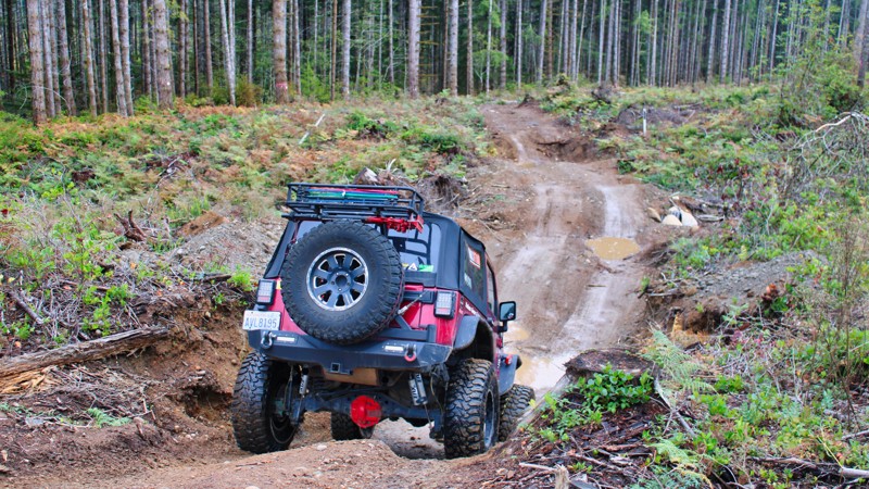
Situated just outside of Skykomish, Washington, this trail takes visitors away from the relatively low elevation of Highway 2 to and up a peaceful mountain road, providing drivers with scenic views throughout the Cascade Mountain Range. Relatively easy to traverse and typically less busy than other roads in the area, this makes Tonga Ridge a good destination for day-trippers and campers alike. Wildlife is often spotted on this road, and several hiking trailheads are scattered along its length.
Updated: 04/01/2025
Tahuya/ South Loop
Belfair, Washington
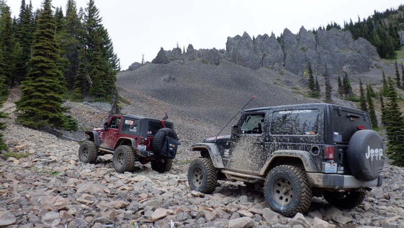
Tahuya State Forest ORV area is a 4x4 destination for both beginning offroaders and seasoned veterans. While this forest trail system does have man-made rock gardens, for the most part, the only hindrance to stock vehicles would be the depth of the standing water in the winter months. Of course, if you are stock, or only slightly lifted, you might want to remain a spectator at the rock gardens since they were put in for more modified rigs. Tahuya has been nick-named "2-Wheel Tahuya" as most of the trails are fairly easy. But in the last few years, that has started to change. There is not really a good map produced that shows all of the trails in this park. The park is a confusing mixture of 4x4, motorcycle, and ATV trails. Other trails are restricted to walking and mountain biking. Tahuya South Loop takes you on a journey through what used to be an untouched forested area but is now clear-cut. Expect to hear your springs popping and undersides scrapping since this trail was designed to max out your suspension.
Updated: 05/15/2024
Kaner Flats
Cliffdell, Washington
Kaner Flats (4W676) is situated in the Okanogan - Wenatchee National Forest with the trailhead located in the Naches Valley. This area is well known for its camping, hiking, and miles of off-roading trails and roads to explore. In the early 1800's settlers seeking a passage to the Puget Sound area used this valley as launching point up and over the Naches Pass. This trail encompasses all of the attributes of a Washington trail and includes a huge change in elevation, over 4000 feet to the Manastash Ridge. There are numerous hill climbs that, when wet, can pose a serious and often dangerous situation for an inexperienced driver. Kaner Flats is anything but flat, winding its way up through mature growth timber and visiting many mountain meadows, lakes, and marshes. This trail culminates with a route over about 2 miles of lava fields left from early prehistoric periods. The soaring volcanic cliffs these boulders fell from and continue to fall seem like an impenetrable wall keeping you from finding a trail to get up there. Imagine driving a few miles on bowling balls that move under your tires, and you get the idea. This trail is popular with many types of vehicles to include side-by-sides, ATVs, and dirt bikes so navigate carefully and look for oncoming traffic. A beginner driver will not want to attempt this trail as there is a certain about of skill and situational awareness necessary for picking the correct lines on obstacles that have no bypass. A modified 4x4 with a lift and larger tires with recovery gear are necessary to avoid unnecessary damage. This trail has something for everyone and is a must-do for the Manastash area of trails.

Updated: 05/02/2024
Mt. Walker
Quilcene, Washington
Mt. Walker is a must stop if you want a leisurely drive to one of the tallest mountain peaks closest to the Hood Canal. 100-year-old Douglas fir trees cover the thriving mountain, which was once burned down by a fire. An abundance of songbirds can be seen and heard from the Mt. Walker viewpoints as well as other birds, such as hawks, owls and grouse. In the distance, major metropolitan areas can be seen. Everett is 33 miles away to the north and seen from the north viewpoint; Seattle, 28 miles to the west as seen from the south viewpoint and Tacoma is 39 miles away, also seen from the south viewpoint.

Updated: 06/15/2024
Sun Top Lookout
Greenwater, Washington
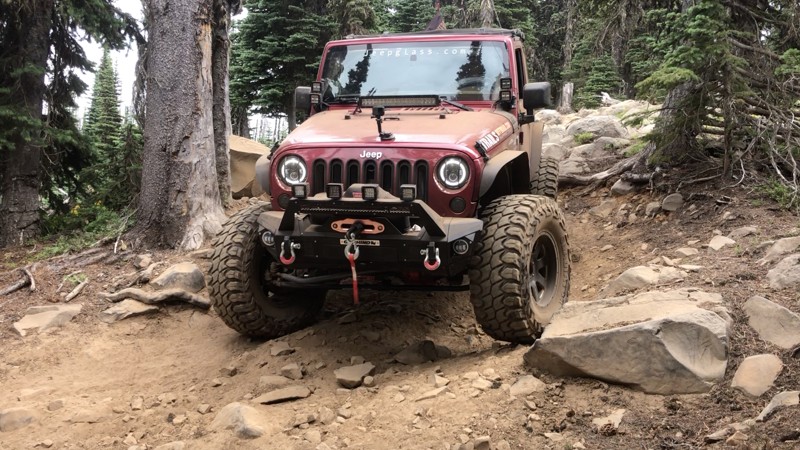
SunTop lookout Fire Station is a must-visit for an awesome view of Mt. Rainier and a chance to view a piece of history. Built in 1933, the lookout station is manned and maintained by volunteer organizations during the summer months keeping watch for forest fires in the surrounding valleys. The views are the highlight of this location. Once at the top you have an amazing view of Mt. Rainier 10 miles to the south as well as the valleys below. The drive up is very steep and rises over 3000 feet in just 5 miles but the road is very well maintained. During your ascent, you will travel through some old-growth forest and some areas that have recently been harvested. Your chances of encountering elk and deer are very good so care and vigilance should be taken during your drive.
Updated: 06/15/2024
Manastash Ridge
Cliffdell, Washington
Manastash Ridge Trail is located in the Okanogan - Wenatchee National Forest in the Manstash Ridge ORV area. This trail cruises along the Manastash Ridge with beautiful views of Mt. Rainier and Mt. Adams as well as the deep lush valleys below. This trail features some steep and challenging hill climbs along with a small section that requires some medium rock crawling. This is one of the longest trails in this area and it ends at Quartz Mountain with some incredible views. You can see Mount Rainier & Adams to the south To the north you can see the Cascade Mountains deep into Canada, 160 miles away. There are many other trails that intersect with Manastash Ridge creating combinations that could range from a long day or to an entire weekend of wheeling fun.
Updated: 06/05/2022
NF-2870
Blyn, Washington
NF 2870 is a long trail that takes you 20 miles deep into the Olympic National Forest. There are rivers and creeks passing through, and winding roads deeper into the trail. It is the direct path to several hiking trailheads, including Gray Wolf Trail, Upper Dungeness Hiking Trail, and Silver Lake Way Trail. This is a perfect road for anyone wanting to explore deeper into the area on an easy road.

Upgrade your Membership
Unlock all of the details on every Trail Guide and Scout Route.
Start a 7-day Free TrialBrowse Trails in Washington by City
Browse every Washington city with offroad trail guides.
Community
Partners

