Region

The San Rafael Swell

Utah

Offroad Trails in The San Rafael Swell

A Region within Utah
4.3/5 (596)

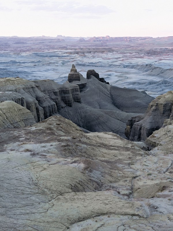
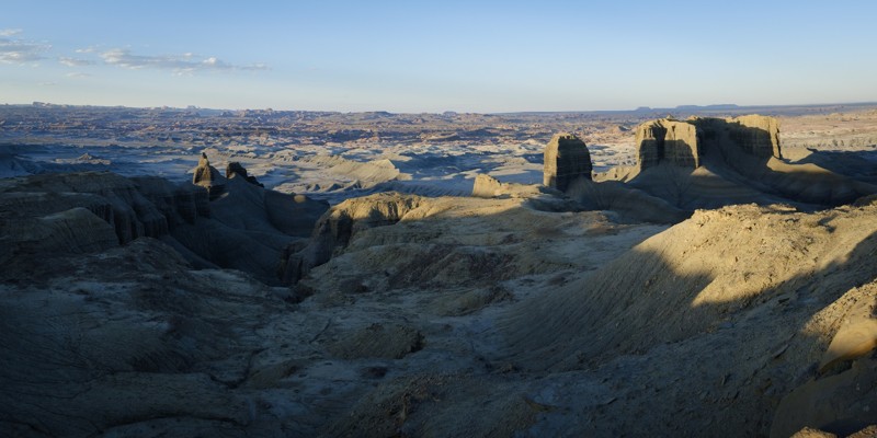
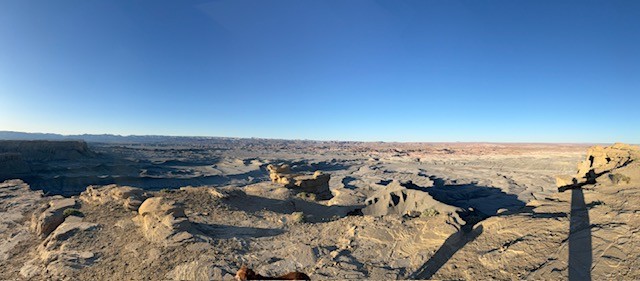
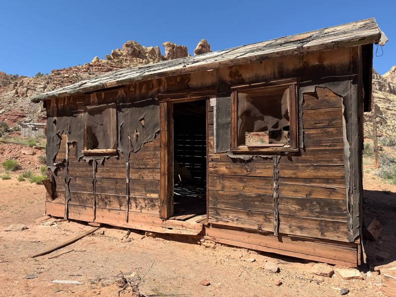
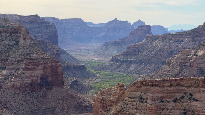
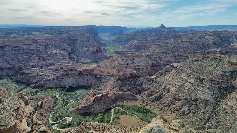
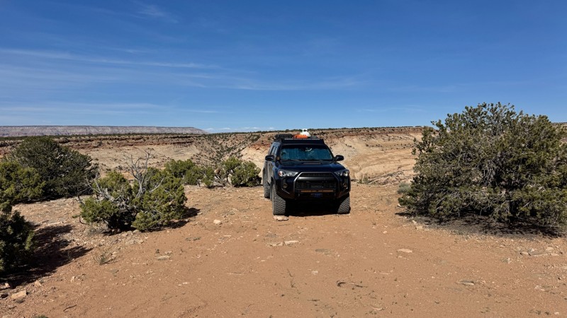
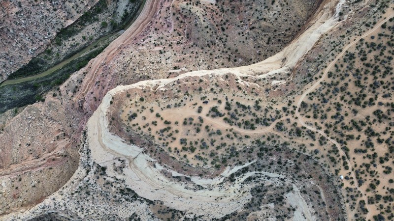
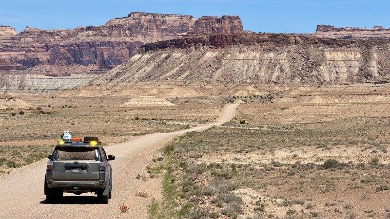
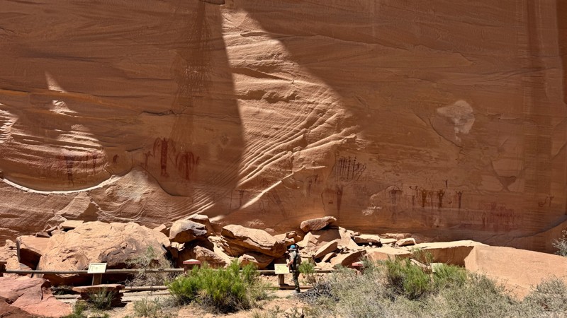
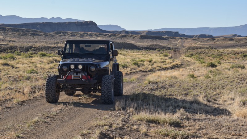
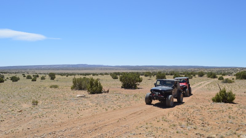
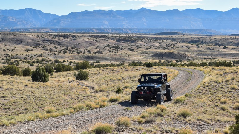
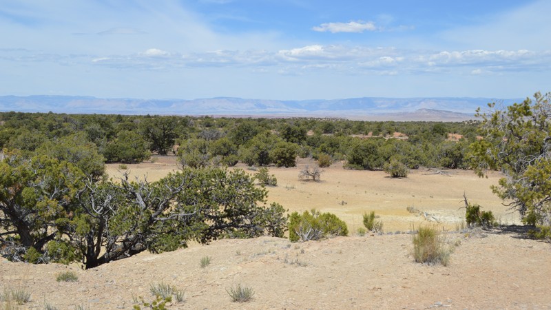
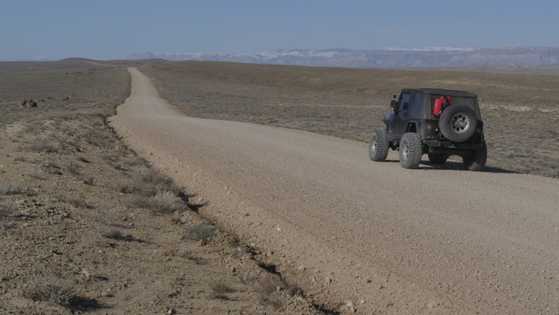
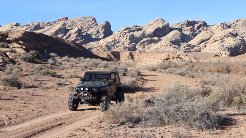
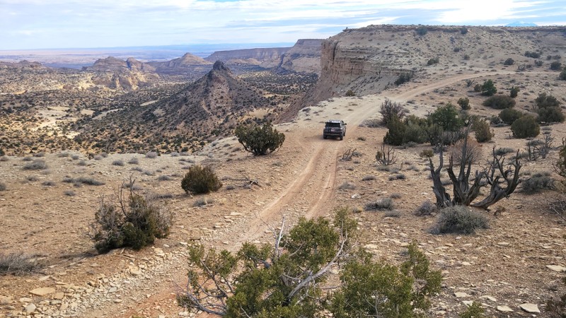
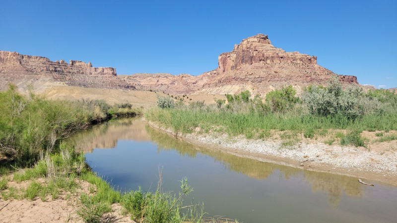
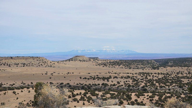
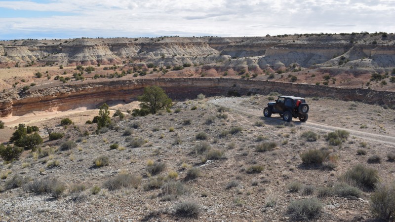
"The Swell," located in south-central Utah, is a geological upheaval that created a colorful desert landscape with towering buttes and narrow slot canyons.  Encompassing 900 square miles, San Rafael Swell is an outdoor paradise with abundant trails for all types of offroad enthusiasts.  There are numerous historical sites where you can get up close to America's best ancient Native American artwork or step into an old log cabin.  Buckhorn Draw and Black Dragon Wash trails travel into narrow slot canyons with designated sites for viewing the artwork. 

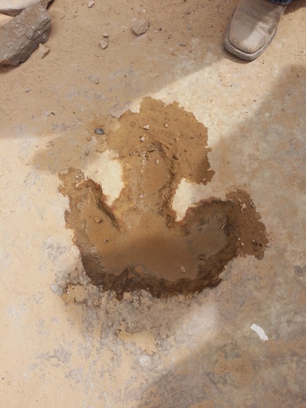
The trail system is vast and divided into two regions by Interstate 70.  The southern area trails are easier and less popular with the average weekend user.  Day trips can include stops at Goblin Valley State Park or squeezing your way through Crack Canyon and Chute Canyon hiking trails along the Behind The Reef trail.  The northern section includes the more difficult and famous 4x4 trails like Eagle Canyon, Devil's Racetrack, and Fix-it Pass; all three have breathtaking views and adrenaline-pumping rock-crawling obstacles.  The far northern region near Wellington, UT, includes an educational stop at Jurassic National Monument, a real-time dinosaur dig open to visitors. 

The winter months can be below freezing during the day, and summer temperatures can be over 100° in the shade.  The vast majority of the region is managed by the Bureau of Land Management, which allows camping up to 15 days.  Several areas are protected and designated as no camping; most of these sites are around ancient artwork sites.  Buckhorn Draw now has paid campsites along this very well-groomed scenic drive.  While other, more remote trails have that private campsite with a canyon view you've been searching for.  The Swell is remote, requiring planning, even for a day trip; venturing into this vast desert also requires a map system you can count on.  Preload the San Rafael regional trails offline before you begin your adventure.

Top Reasons to Explore Here

Basemaps
Go All-Access to Unlock


TRAILS OFFROAD™ TRAIL TYPES
Trail Guide
Full detailed write up with Advanced Rating System, Waypoints, Video, and more.
Scout Route
Lite version with highlights, camping, and hardest part documented. Vetted in person.
TRAIL DIFFICULTY RATINGS
easy (1-2)
Suitable for high clearance 2WD
moderate (3-4)
Best suited for a high clearance 4x4
difficult (5-6)
Best suited for a lightly modified 4x4
severe (7-8)
Best suited for a highly modified 4x4
extreme (9-10)
Best suited for specialized buggy type vehicles
LAYERS

Most Recent Trail Reviews

Most Popular

Search for Trails
Utah: Grassy Flats Hero Photo
Scout Route Icon
3/5 (1 reviews)
Updated: 10/15/2024

Grassy Flats

Woodside, Utah

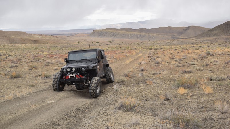
Rolling hills and grassy meadows line the eastern edge of the San Rafael Swell in central Utah. Grassy Flats is a moderate 4x4 trail with mild challenges for stock-type 4x4s with high clearance and durable tires. The tail links Grassy and Cedar Bypass, two old mining and railroad communities. Take a scenic loop on Coleman Wash for a short drive along the Price River. Keeping an eye on the surrounding hills, you'll likely be rewarded with a glimpse of the speedy pronghorn antelope. No established campsites were found along the trail, which is impassible in wet conditions.

Utah: Chimney Rock Cutoff Hero Photo
Scout Route Icon
5/5 (1 reviews)
Updated: 10/15/2024

Chimney Rock Cutoff

Woodside, Utah
Chimney Rock Cutoff is a neat little trail that takes you from Long Point Ridge Foothills to the Spirit Railroad Complex, where you can read about the history of this unique area. You can also get a relatively close-up view of Chimney Rock. However, if you are looking to get front row access, be aware that the Long Point Ridge Foothills Trail to Chimney Rock is a bit more difficult. This would make for a better exit after taking in the sights.
Utah: Cedar-Coon Spring Alternate Hero Photo
Scout Route Icon
3/5 (1 reviews)
Updated: 10/15/2024

Cedar-Coon Spring Alternate

East Carbon, Utah

Cedar Bypass is a quick and easy way to access primitive camping, the Price River, and the large rock art site at the end of the Grassy Creek Petroglyph trail. The trail begins as a grated gravel road across from the rest area along Highway 191. There is a small staging area at the trailhead and a small campsite further ahead on the right. The trail becomes thinner and rougher as you wind down through the rolling hills to the river basin. Washed-out ruts and corrugation bumps require durable tires and suspension. There are no obstacles, and the trail is impassable in wet conditions.

Utah: BLM626 Cutoff Hero Photo
Scout Route Icon
2/5 (1 reviews)
Updated: 10/15/2024

BLM626 Cutoff

Cleveland, Utah

Solitude is the name of the game on this little spur. No major obstacles on an easy dirt road make this friendly for any adventurer looking to get away from the crowds of the San Rafael Swell. There is even a great campsite with a pretty good view over the surrounding area.

Utah: Desert Lake Loop Hero Photo
Scout Route Icon
2/5 (1 reviews)
Updated: 10/15/2024

Desert Lake Loop

Victor, Utah

Desert Lake Loop is a well-maintained gravel road and part of an overland route accessing the San Rafael Swell from Wellington, Utah. The route is named after the protected Desert Lake Waterfowl Management Area that the route circles. The area is an extensive collection of retention ponds that migrating birds often frequent in this desert landscape. In dry conditions, the entire road is easily accessible in all vehicles equipped with durable tires. No camping was found along this route. Abundant camping can be located further south in the Swell.

Utah: Black Dragon Loop Hero Photo
Scout Route Icon
4/5 (1 reviews)
Updated: 01/05/2026

Black Dragon Loop

Green River, Utah

Branching off Black Dragon Wash, this sandy loop offers primitive, dispersed camping. However, the best spots take a little exploring to find. The south end starts near the I-70 cattle gate and includes very soft sand and tight trees, making it a poor fit for full-size/wide vehicles and camper-top trucks. Those rigs should enter from the northern trailhead to reach the best campsites tucked back in the rocks. Overall, the trail is easy for most high-clearance 4x4s with off-road tires. The most accessible campsites are located near the northern trailhead in Black Dragon Wash, adjacent to the San Rafael River. The only major concerns along this trail are the soft sand and a rocky dirt climb with a blind summit, where visibility is limited for oncoming traffic.

Utah: Seger's Rim Hero Photo
Scout Route Icon
5/5 (1 reviews)
Updated: 02/02/2026

Seger's Rim

Caineville, Utah

Seger's Rim isn't like the other trails in the area; it requires the driver's undivided attention and the use of low-range 4x4. The trail is a shortcut between Seger's Hole and Moroni Slopes, zig-zagging next to the rim of the upheaval along a narrow, two-track ledge full of shale rock. The trail has numerous overlooks into the labyrinth of canyons below. A couple of steep, loose rock climbs, blind turns, and small rock steps require steady momentum to maintain traction. It's not recommended for large camper-top trucks or trailers. Camping in the area is best found along the connecting trails at each end of Segar's Rim.

Utah: Cow Camp Hero Photo
Scout Route Icon
3/5 (1 reviews)
Updated: 06/15/2025

Cow Camp

Lawrence, Utah

Cow Camp is a short out-and-back dirt road leading to a free scenic camping area. Along the short drive, there is a dry wash with access to the San Rafael River. The large open area at the end of the trail has a couple of established fire rings for individual or group campers. The trail is hard-packed dirt and passable in 2WD vehicles.

Utah: Grey Flats Hero Photo
Scout Route Icon
2/5 (1 reviews)
Updated: 10/15/2024

Grey Flats

Woodside, Utah

Crossing the barren landscape along Grey Flats feels like driving on the moon. The puffy gray dirt creates dust clouds as you zigzag around the rutted washouts. The trail is the only legal connector between Neversweat Canyon and Camel Wash. The trail has a couple of hills that require extra momentum and 4x4. The hardest section is the descent down the narrow ledge above the Price River. River access is minimal because of the dense foliage. Expect pinstriping if you intend to reach the river or access Camel Wash. There were not any established campsites along this very lightly used trail.

Utah: Cedar Mountain Hero Photo
Scout Route Icon
4.5/5 (2 reviews)
Updated: 04/10/2026

Cedar Mountain

Whipup, Utah

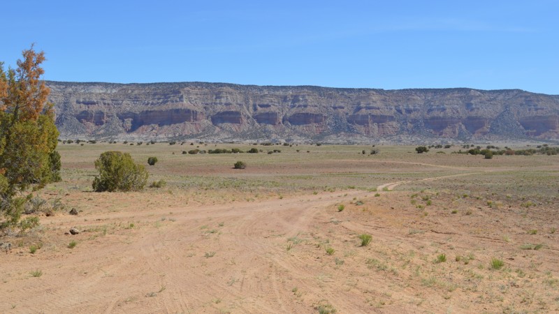
Few places feel as remote as the Cedar Mountain area of the Last Chance Desert. As you zoom along the arrow straight northern section, approaching the expansive, rugged cliffs, you start to appreciate how far away from everything you are. Be prepared, bring extra fuel, food, and water. Camping is limited to a couple of spots. One is right along the trail, a big level square, likely an old drill platform, that now makes a convenient and scenic campsite. Next is a more intimate site with amazing views and protection from the winds. It's on a short spur trail and is easily accessible, with room for a couple of tents. The trail is hardpack dirt, semi-graded, and passable in 2WD. 

Utah: Little Black Mountain Spur Hero Photo
Scout Route Icon
3/5 (1 reviews)
Updated: 11/07/2025

Little Black Mountain Spur

Fruita, Utah

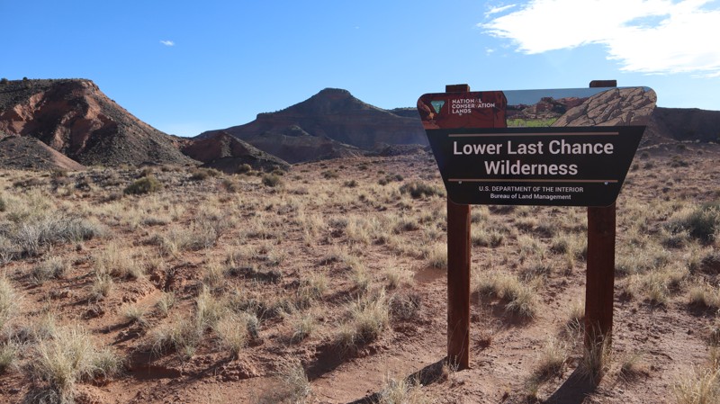
Little Black Mountain Spur can best be described as where tourism ends and adventure begins. Turning off the Cathedral Valley Loop onto the nondescript trailhead, the significance can be lost to a novice driver. The terrain and trails become even more unpredictable, rugged, and very remote. Connecting with the Lower Last Chance Loop, the sand and rocky trail requires durable off-road type tires and high clearance for the numerous ruts and blind washouts. You must be prepared for self-recovery and other emergencies that may occur in a remote area without cellular phone service. The trail travels along the eastern edge of the rugged Lower Last Chance Wilderness, where over 200 big horn sheep are making a dramatic comeback. There is no camping found along this route. Camping within Capital Reef is limited to one campground found at Waypoint 17 on Cathedral Valley Loop.

Utah: Little Hole Cutoff Hero Photo
Scout Route Icon
2/5 (2 reviews)
Updated: 10/15/2024

Little Hole Cutoff

Cleveland, Utah
Little Hole Cutoff is a short and easy trail with no major obstacles. It runs between Green River Cutoff to 626 providing quick access to a nice little side canyon off of Buckhorn Wash. Although not a destination for camping, there is a nice little campsite along the trail.
Utah: Summerville Wash Hero Photo
Scout Route Icon
3/5 (1 reviews)
Updated: 10/15/2024

Summerville Wash

Woodside, Utah

Somerville Wash, BLM 1096, is the eastern access to a pair of challenging 4x4 trails across a colorful desert between The Swell and Book Cliffs. 1096 easily accesses both Neversweat Canyon and Camel Wash via Grey Flats. The most challenging part of this road is the near-blind trailhead along Highway 191. The trailhead has no turn lane on 191, so caution must be taken. The trail is a semi-maintained county road made of hard-pack dirt and rock. The entire route can be completed in 2WD with high clearance in dry conditions. No established campsites were found along the route.

Utah: Coleman Wash Hero Photo
Scout Route Icon
2/5 (1 reviews)
Updated: 01/02/2025

Coleman Wash

Woodside, Utah

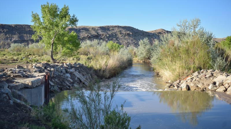
One of the few remaining 4x4 trails in the region to access the Price River, Coleman Wash is a moderate drive along a private ranch road and through a rocky canyon. The trail branches off of Grassy Flats, adding an excellent addition to a rather mundane trail. There are a couple of "flexy" washouts in the wash, and large rocks require high-ground clearance and durable tires. Work is being done at a diversion dam for a canal system. The trail conditions may change, and it is impassable in wet conditions. No camping was found along the river or in the canyon.

Utah: Carlyle Wash Hero Photo
Scout Route Icon
4/5 (2 reviews)
Updated: 04/22/2026

Carlyle Wash

Whipup, Utah

7 miles of twisting and turning through rock walls, a rockhound's paradise, Carlyle Wash is an excellent continuation of Cedar Mountain or the Moroni Slopes. The trail travels exclusively through a rock-and-sand wash, with fleeting views of the surrounding landscape. Honeycombs of quartz dissect colorful sedimentary layers, hundreds of feet long. While not challenging, the trail is rough and hard on tires. It's essential to have high clearance, durable offroad tires, and 4x4 may be needed for certain vehicle types. The wash can change dramatically after rare but powerful rainstorms.

Utah: NF-3511 Hero Photo
Scout Route Icon
2/5 (1 reviews)
Updated: 10/15/2024

NF-3511

Clawson, Utah

Tucked away in a lesser-used part of the San Rafael Swell, NF3511 draws users from E South Sand Bench Loop and down toward Ferron Creek. This journey crosses rocky patches and rolling hills and through a short and unimpressive "canyon" to reach the patch of trees along the creek. Camping was not observed along this trail, likely due to the rough ground and exposure to the elements.

Utah: BLM 1097 Hero Photo
Scout Route Icon
1/5 (1 reviews)
Updated: 10/15/2024

BLM 1097

Woodside, Utah

Traveling along the barren western edge of The San Rafael Swell, trail 1097 is a rollercoaster ride between two access trails. The trail navigates between two ridgelines where deep runoff ruts in the soft dirt have created trenches you must climb up and down. The approach angles are steep and not advised for large overland-type vehicles or trailers. There is abundant camping at the southern trailhead.

Utah: Grassy Creek Petroglyphs Hero Photo
Scout Route Icon
5/5 (1 reviews)
Updated: 10/15/2024

Grassy Creek Petroglyphs

Woodside, Utah

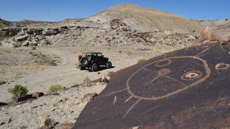
Located along the bank of the Price River, Grassy Creek Petroglyphs are a unique kind of rock art compared to what's typically found in the San Rafael Swell region. Differing from the colorful pictographs on the region's sandstone, these peckings have a creative circular theme throughout the site. Moccasin footprints, turtles, snakes, and other familiar shapes were chipped into the dark faces of numerous boulders on the hillside. The trail getting to the site used to connect to a trail across the Price River, which is now impassable, but you can drive over to the petroglyph site and back out to Cedar Bypass or continue your 4x4 adventure along Grassy Creek. The trail requires 4x4 high clearance and durable tires and is impassable in wet conditions. Please respect the artwork, take only pictures, leave only footprints, and no camping is at the Day Use Site.

Utah: Cliff Dwellers Flat Hero Photo
Scout Route Icon
5/5 (1 reviews)
Updated: 05/07/2025

Cliff Dwellers Flat

Green River, Utah

This spur off Arsens Garden Loop leads to two spectacular overlooks, follows an old landing strip, and passes several nice camping opportunities. Turn right off Arsens Garden Loop past a large stock tank and gradually climb to the top of the mesa. At the top, follow the old landing strip for several hundred yards. The only thing that distinguishes the landing strip is the long, straight section of the road. The landing strip appears to be used only rarely but is still listed as an active strip. Near the end of the trail, a spur to the right will take you to the first overlook and several campsites. The last part of the trail crosses Utah State land before ending at the second overlook and several more campsites. Although the trail is easy, wet conditions would make it difficult or impassable.

Utah: Cedar Ghost Town Hero Photo
Scout Route Icon
3/5 (1 reviews)
Updated: 10/15/2024

Cedar Ghost Town

Woodside, Utah

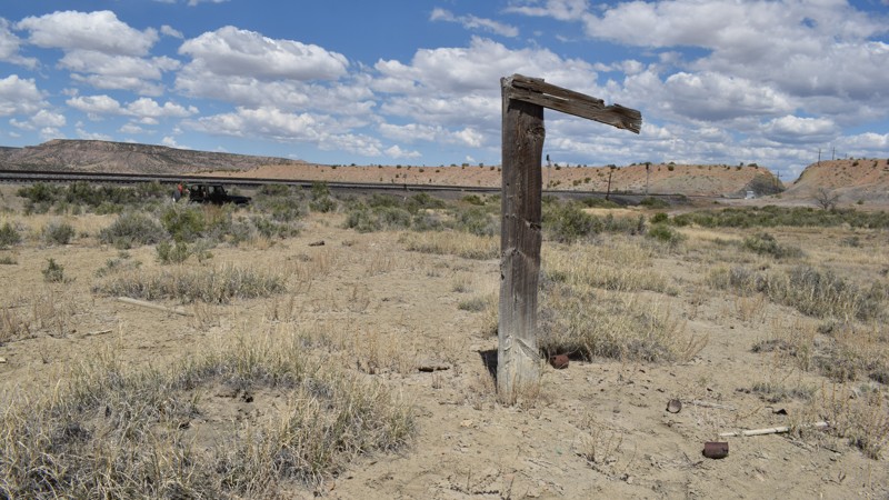
Cedar Ghost Town is for train buffs and campers. Little is known about this shanty town located along the Union Pacific Railroad and the eastern edge of the San Rafael Swell. The Utah desert and The Swell, in particular, have an abundant history of old towns lost to time. The meadow along the tracks is littered with debris that has been burned, buried, and wind-blown for a long time. This short looping road can be traveled in a passenger car with durable tires. One large open camping area on a bluff overlooking the valley and train tracks has several fire rings for an overland group. The bend in the tracks is scenic and a wonderful place to enjoy the busy rail traffic.

Utah: Coal Wash Spur Hero Photo
Scout Route Icon
2/5 (1 reviews)
Updated: 10/15/2024

Coal Wash Spur

Moore, Utah

Coal Wash Spur is a short, moderate ledge climb connecting Coal Wash with Wood Hollow. The trail travels along a narrow switchback ledge with room for one vehicle. The dirt and rocks require durable tires and 4x4 low-range. No camping was found along the route.

Utah: Red Draw Hero Photo
Scout Route Icon
3/5 (1 reviews)
Updated: 05/07/2025

Red Draw

Green River, Utah

Red Draw is a short, out-and-back spur off Arsens Garden Loop, which provides a beautiful side trip down the scenic valley of its namesake draw, along the foot of Cliff Dwellers Flat, to a small lake. At one time, the trail continued to the border of the wilderness area but was officially closed beyond the lake in 2024 due to a new Travel Management Plan. There are plenty of opportunities for picnics or camping among the junipers that line much of the trail. Pronghorn, deer, and wild burros frequent the area, creating high chances of seeing wildlife. There are also smaller creatures such as rabbits, ground squirrels, and lizards, and, of course, plenty of cows. To reach Red Draw, run the beginning of Arsens Garden Loop. When you emerge from the tunnels under I-70, stay straight instead of turning left. The spur to the right is closed under the new Travel Management Plan.


Utah: Ivy Bench Willow Springs Hero Photo
Scout Route Icon
2/5 (1 reviews)
Updated: 01/23/2026

Ivy Bench Willow Springs

Whipup, Utah

Ivy Bench Willow Springs has one purpose: connecting Last Chance Road to three other main roads that cross the Last Chance Desert in central Utah. The gravel road is maintained, and it is an efficient way to reach more interesting trails or to continue your overland adventure. Rugged, porous lava stone covering the landscape prevents anyone from establishing a campsite along this route.
Utah: Grassy Hero Photo
Scout Route Icon
2/5 (1 reviews)
Updated: 10/15/2024

Grassy

Woodside, Utah

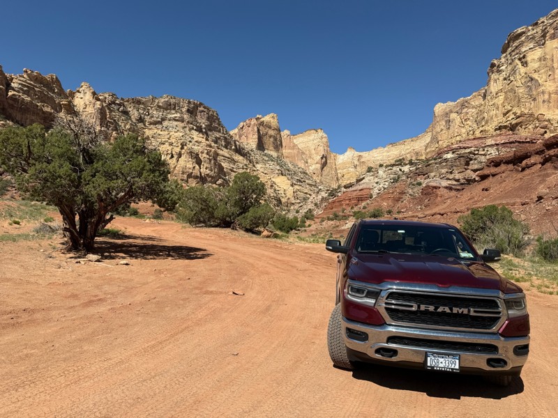
Named after a nearby creek, Grassy, a long-forgotten shanty town, is gone now, and the road is mainly private ranch access. The trail is an easy gravel for most of the way, before ending on bumpy dirt at the ranch gate and the trailhead for Grassy Flats. The trail did not have any established campsites.