Region

The San Rafael Swell

Utah

Offroad Trails in The San Rafael Swell

A Region within Utah
4.3/5 (596)

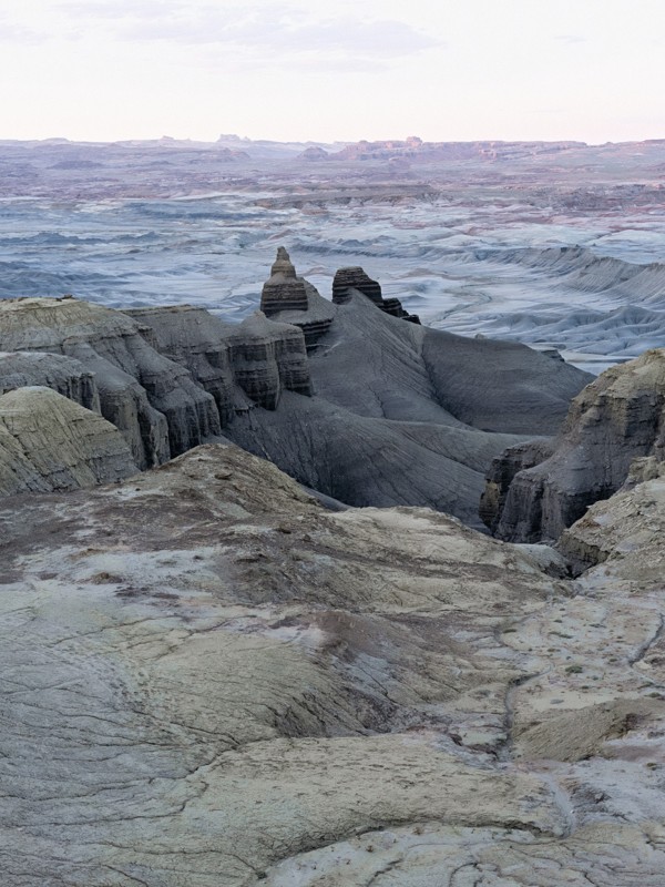
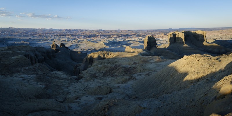
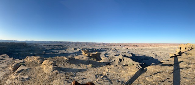
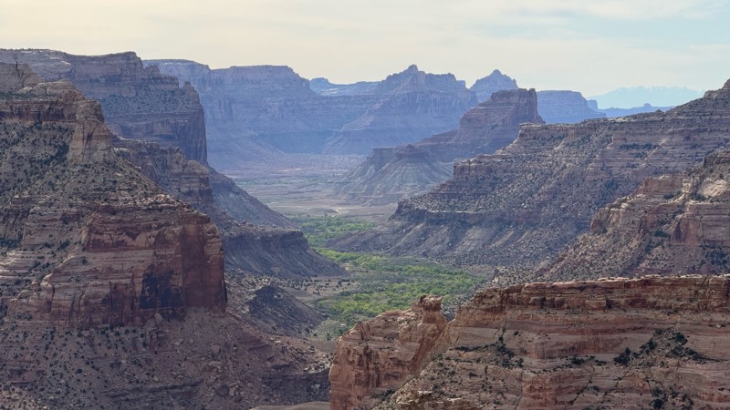
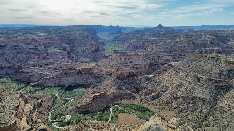
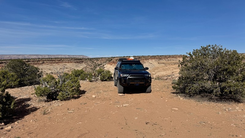
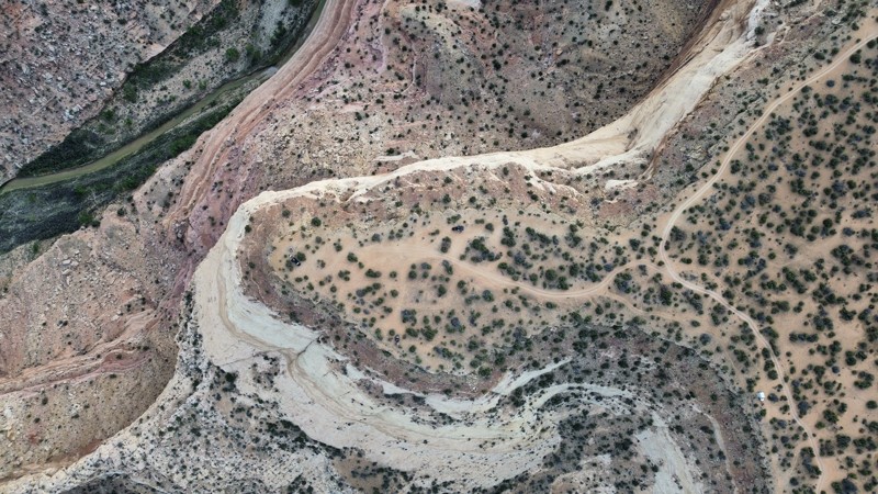
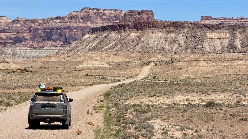
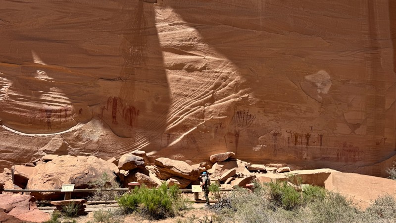
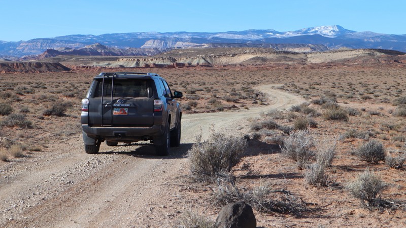
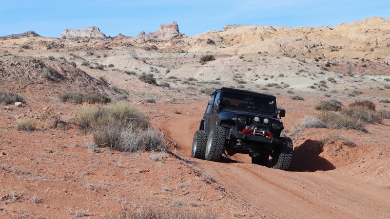
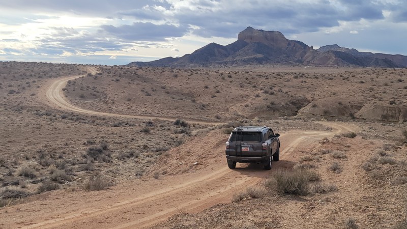
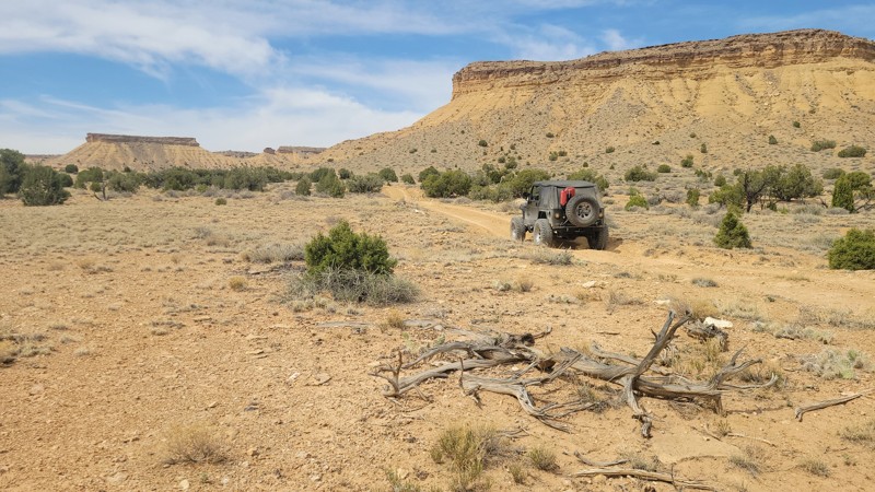
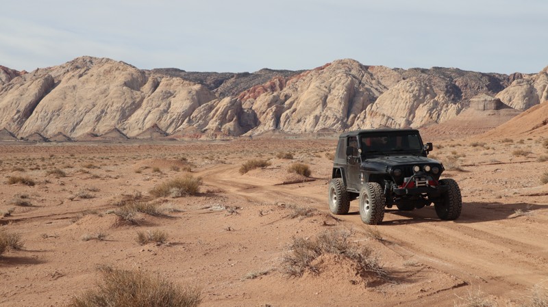
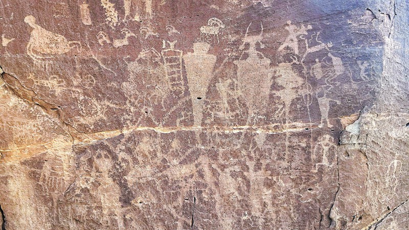
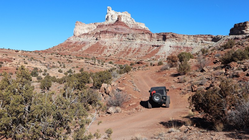
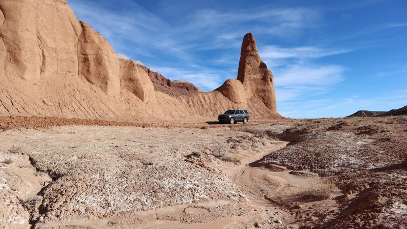
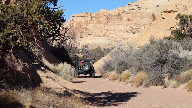
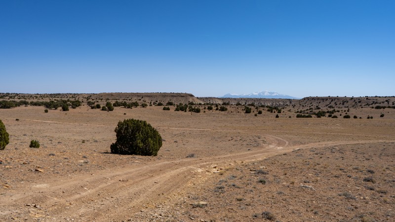
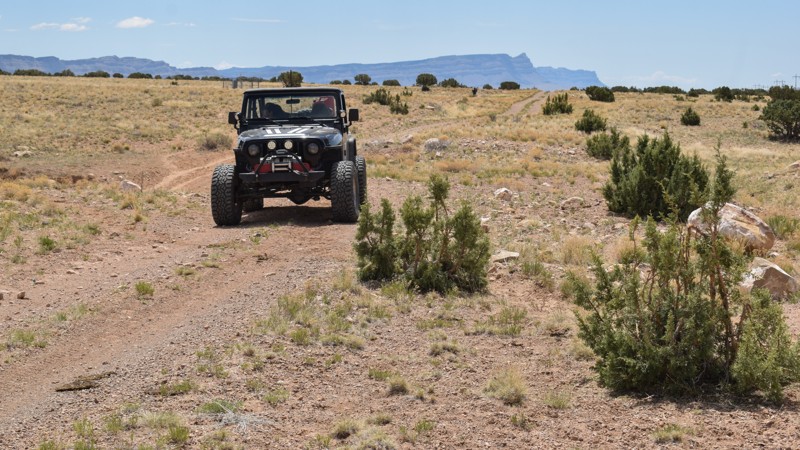
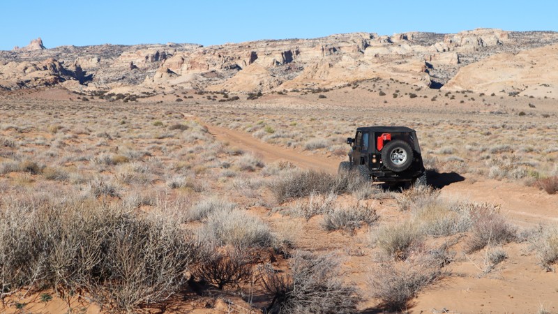
"The Swell," located in south-central Utah, is a geological upheaval that created a colorful desert landscape with towering buttes and narrow slot canyons.  Encompassing 900 square miles, San Rafael Swell is an outdoor paradise with abundant trails for all types of offroad enthusiasts.  There are numerous historical sites where you can get up close to America's best ancient Native American artwork or step into an old log cabin.  Buckhorn Draw and Black Dragon Wash trails travel into narrow slot canyons with designated sites for viewing the artwork. 

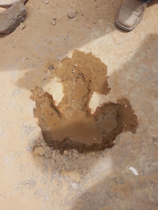
The trail system is vast and divided into two regions by Interstate 70.  The southern area trails are easier and less popular with the average weekend user.  Day trips can include stops at Goblin Valley State Park or squeezing your way through Crack Canyon and Chute Canyon hiking trails along the Behind The Reef trail.  The northern section includes the more difficult and famous 4x4 trails like Eagle Canyon, Devil's Racetrack, and Fix-it Pass; all three have breathtaking views and adrenaline-pumping rock-crawling obstacles.  The far northern region near Wellington, UT, includes an educational stop at Jurassic National Monument, a real-time dinosaur dig open to visitors. 

The winter months can be below freezing during the day, and summer temperatures can be over 100° in the shade.  The vast majority of the region is managed by the Bureau of Land Management, which allows camping up to 15 days.  Several areas are protected and designated as no camping; most of these sites are around ancient artwork sites.  Buckhorn Draw now has paid campsites along this very well-groomed scenic drive.  While other, more remote trails have that private campsite with a canyon view you've been searching for.  The Swell is remote, requiring planning, even for a day trip; venturing into this vast desert also requires a map system you can count on.  Preload the San Rafael regional trails offline before you begin your adventure.

Top Reasons to Explore Here

Basemaps
Go All-Access to Unlock


TRAILS OFFROAD™ TRAIL TYPES
Trail Guide
Full detailed write up with Advanced Rating System, Waypoints, Video, and more.
Scout Route
Lite version with highlights, camping, and hardest part documented. Vetted in person.
TRAIL DIFFICULTY RATINGS
easy (1-2)
Suitable for high clearance 2WD
moderate (3-4)
Best suited for a high clearance 4x4
difficult (5-6)
Best suited for a lightly modified 4x4
severe (7-8)
Best suited for a highly modified 4x4
extreme (9-10)
Best suited for specialized buggy type vehicles
LAYERS

Most Recent Trail Reviews

Most Popular

Search for Trails
Utah: Wedge Spur Overlook Hero Photo
Scout Route Icon
2/5 (1 reviews)
Updated: 01/15/2026

Wedge Spur Overlook

Whipup, Utah

Currently impassable at mile 1.7, Wedge Spur Overlook is a 4.8-mile out-and-back moderate 4x4 trail with an amazing overlook at the end. Shortly before the washed-out section, a short spur trail leads to a couple of small primitive campsites.

Currently, the trail is severely washed out in numerous locations. No legal by-passes are available. Until this trail is repaired, it will remain impassable beyond the washout at mile 1.7.

Utah: San Rafael Reef Hero Photo
Scout Route Icon
4/5 (1 reviews)
Updated: 04/10/2026

San Rafael Reef

Hanksville, Utah

Traveling along the San Rafael Reef, the great sandstone upheaval in central Utah, numerous opportunities for camping and canyon hiking await the adventurous traveler. The unique sloping landscape has been carved by water over millions of years, creating slot canyons and peculiar rock formations. Trail 921 travels north - south along the swell before ending at a parking area for remote hiking. Rock art can be found all over the region. Back in the canyons, artwork sites are not marked on any maps. The southern portion of the route has numerous primitive campsites that are easily accessible in 2WD. The further north you travel, the more difficult it becomes, and established camping disappears. There are rough, rocky wash crossings and deep washouts that require suspension flex. Modified vehicles will consider it a 2WD scenic drive, while full-size trucks may find it challenging. Be sure to look-out for the old brick chimneys.

Utah: Slaughter Slopes Reservoir Hero Photo
Scout Route Icon
1/5 (1 reviews)
Updated: 01/23/2026

Slaughter Slopes Reservoir

Whipup, Utah

Slaughter Slopes Reservoir is a simple dirt spur to the edge of the Muddy Creek Wilderness Boundary. Don't let the name deceive you; the "Reservoir" along this road is usually just a dry hole. The terrain is hard-packed dirt and small, loose shale rock, suitable for any high clearance vehicle. While you can technically drive to the very end at the boundary of the Muddy Creek Wilderness and set up a rooftop tent for the night, there are many more scenic opportunities along nearby roads. For example, along the main Slaughter Slopes, you will find wonderful camping with amazing views.

Utah: Wilson Holes Hero Photo
Scout Route Icon
2/5 (1 reviews)
Updated: 06/15/2025

Wilson Holes

Green River, Utah

Wilson Holes is a mild connector trail that has abundant primitive camping easily accessible from Buckhorn Draw Road. The trail winds through dense trees to small open areas with fire pits and room for a tent or two. At the end of the spur trail, there is a group party pit area. A veteran's memorial has been posted at the top of a nearby butte, and a very large community fire pit has been constructed over the years. The trail is a typical two-track without any obstacles. It can be completed in stock 4x4s with high ground clearance.

Utah: Shadescale Mesa Hero Photo
Scout Route Icon
3/5 (1 reviews)
Updated: 01/05/2026

Shadescale Mesa

Green River, Utah

Running along a small portion of the expansive Hatt Ranch, past old farm equipment, and below the rugged Shadescale Mesa, this moderate 4x4 route is a dirt shortcut connecting Highway 24 and Hatt Ranch Bypass, along the edge of the San Rafael Reef Wilderness. It offers surprising views of the San Rafael River from an old wooden bridge and the dramatic sandstone upheaval of The Swell. The trail features deep, loose dirt and cross-rut washouts that require 4-wheel drive traction. Erosion ruts are the primary concern along the trail and can fill in or become deeper depending on recent weather conditions. Although not technical, this trail is best suited for a high clearance 4x4 with durable tires.

Camping is not available along this trail. However, abundant camping can be found along adjacent trails.

Utah: Sand Cave Spring Hero Photo
Scout Route Icon
5/5 (1 reviews)
Updated: 01/07/2026

Sand Cave Spring

Whipup, Utah

Best known as the road to the Mussentuchit Wash petroglyphs, this short, out-and-back trail leads to an impressive rock art panel. Traveling up the knoll from Lower Last Chance Loop, the trail is a mix of soft sand and hard pack dirt, with no obstacles. The short spur trail, located before the fence, is where the rock art wall can be found. Travel out to the end of the turnaround above Mussentuchit Wash, then look for the wall on the right, as you drive back out. It's a short hike to the large panel on the cliff. As you walk to the panel, piles of colorful chert cover the ground. This was a stone tool production site with access to fresh water in the nearby canyon. Early in the route, there is a large open area with a couple of fire pits for camping. The main trail continues south past the cattle fence to a large retention pond, close to Twin Peaks. As the name says, mus-int-tuch-it, please do not touch the panels.


Utah: Behind Temple Mountain Hero Photo
Scout Route Icon
5/5 (1 reviews)
Updated: 04/10/2026

Behind Temple Mountain

Hanksville, Utah

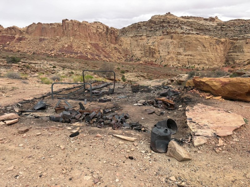
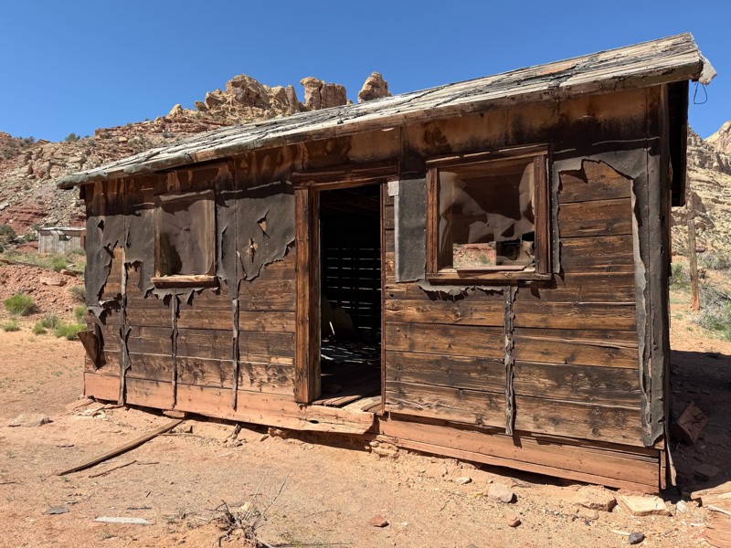
A ghost town, towering cliffs, narrow ledges, and rusty artifacts are all abundant Behind Temple Mountain. When combined with Temple Mountain Road, trail 921 creates a historic 4x4 loop along twisting ledges. One long, loose dirt hill requires 4x4 and steady momentum. Ideal for stock-type 4x4s with durable tires, the trail has numerous points of interest along the way. Once a thriving uranium mining area, tunnel entrances can be seen up on the hillside. The old cars found along the route were driven up and stripped of their engines to help haul the heavy material and generate power. It's dangerous to enter the caves and not recommended. There are a couple of peninsula-type overlook campsites along the route. They are small but have amazing views across the rugged Little Ocean Draw Wilderness. The southern trailhead is near the Temple Mountain townsite campground and the old stone cabins.
Utah: Verde Mounds Hero Photo
Scout Route Icon
2/5 (1 reviews)
Updated: 10/15/2024

Verde Mounds

Victor, Utah

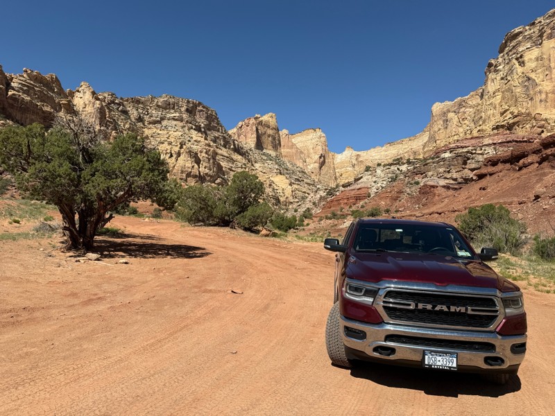
Verde Mounds is an easy scenic crossover along the northern edge of the San Rafael Swell, offering sprawling views of the valleys leading to the Book Cliffs. The trail crosses broad meadows where pronghorn antelope and cattle graze on the rolling grassy mounds named after a long-forgotten town. In dry conditions, the trail is passable in 2WD vehicles equipped with durable tires for the chunky corrugated gravel. No established campsites were found on this windswept route.

Utah: Last Chance Cutoff Hero Photo
Scout Route Icon
3/5 (1 reviews)
Updated: 01/15/2026

Last Chance Cutoff

Whipup, Utah

An easy, but sandy crossover between Last Chance Road and Lower Last Chance Loop, The Cutoff has a few scenic surprises along the way. While no camping to be found, there are a couple of scenic points that are unique to this trail. Choosing to cross over here, instead of the Ivy bench, you get a smoother and more scenic ride. In dry conditions, the sand can be soft, but it's graded fairly often, helping compact the surface.

Utah: Temple Wash Hero Photo
Scout Route Icon
5/5 (1 reviews)
Updated: 04/10/2026

Temple Wash

Hanksville, Utah

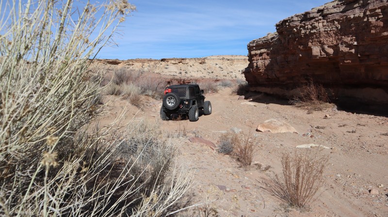
While you won't have to fold in your mirrors, the canyon is a unique 4x4 experience. Temple Wash is one of the few remaining opportunities to drive into the San Rafael Reef canyons. Left natural, you navigate up the sand and rock wash where you will find numerous wonderful campsites tucked off to the side, or at the end of the included spur trail. The trail ends abruptly, with little room for turning around. You will need 4x4 high clearance, skid protection, and durable tires. There are vertical rock ledges 10-12" tall and super soft sand. Most of the campsites are single back-in, cot, or roof-top-tent types. Early into the trail, there is a large open camping area for 3-4 vehicles with tents. Where the trail guide ends is the strict boundary.

Utah: Baptist Draw Cutoff Hero Photo
Scout Route Icon
1/5 (1 reviews)
Updated: 10/15/2024

Baptist Draw Cutoff

Hanksville, Utah

Jumping from Baptist Draw to Wild Horse Canyon, this tame trail follows a dirt two-track up and over a small hill. There is little in the way to slow vehicles down other than a few small patches of loose gravel. 4WD is not needed to zip through this short jumper. Despite its open and relatively flat nature, no camping is offered along this trail. There are a number of dispersed sites off of McKay Flat or Baptist Draw.

Utah: Old Highway Road Hero Photo
Scout Route Icon
2/5 (1 reviews)
Updated: 10/15/2024

Old Highway Road

East Carbon, Utah

Once an old highway, it allows you to continue your overland adventure along the eastern edge of The Swell. Traveling along the decommissioned highway, cows are now more frequented along this short connector between Cedar Bypass and Price River Road. The asphalt has been torn up and left in piles along the trail. The old bridges have collapsed, exposing the old layers of asphalt and timbers. The trail has no obstacles but will be impassable in wet conditions. No camping or services were found along the route.

Utah: Old Woman Wash Hero Photo
Scout Route Icon
2/5 (1 reviews)
Updated: 04/10/2026

Old Woman Wash

Hanksville, Utah

Easily crossing over from SR-24 to San Rafael Reef, Old Woman Wash is a quick way to access the reef's epic camping and slot canyon hiking. The trail is hard-packed dirt with deep corrugations. Ideal for high clearance vehicles equipped with durable tires. There are no campgrounds along the route, but many campgrounds can be found along the southern portion of San Rafael Reef.

Utah: San Rafael 923 Hero Photo
Scout Route Icon
3/5 (1 reviews)
Updated: 04/10/2026

San Rafael 923

Green River, Utah

A random gate along SR-24 grants access to San Rafael 923 and the adventures that await within The Swell. The trail is passable with stock type 4x4s with high ground clearance and durable offroad tires. The trail drops down into a canyon where there is a rocky climb, potentially requiring 4x4 in larger vehicles. The trail is wide enough for all vehicles and trailers. It takes about 15 minutes, unless you stop to explore the unique fossilized rocks in the wash. No camping exists along the route. However, abundant camping is available in the southern portion of San Rafael Reef.