Region

The San Rafael Swell

Utah

Offroad Trails in The San Rafael Swell

A Region within Utah
4.3/5 (596)

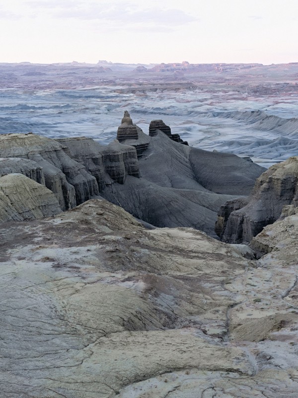
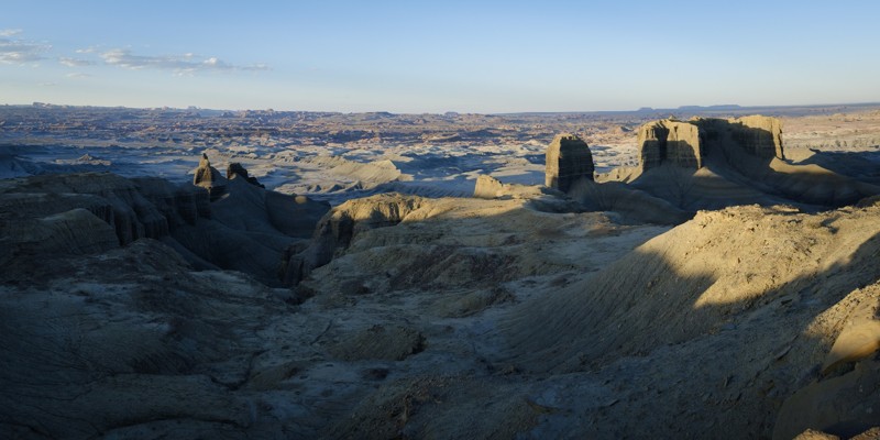
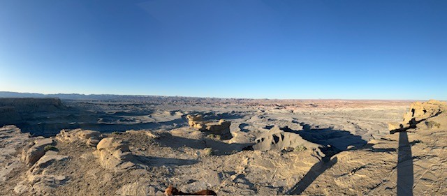
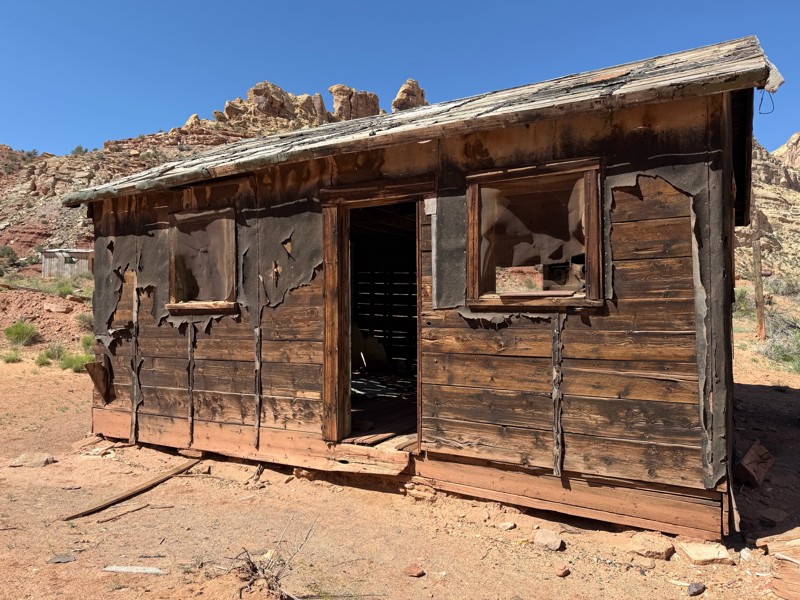
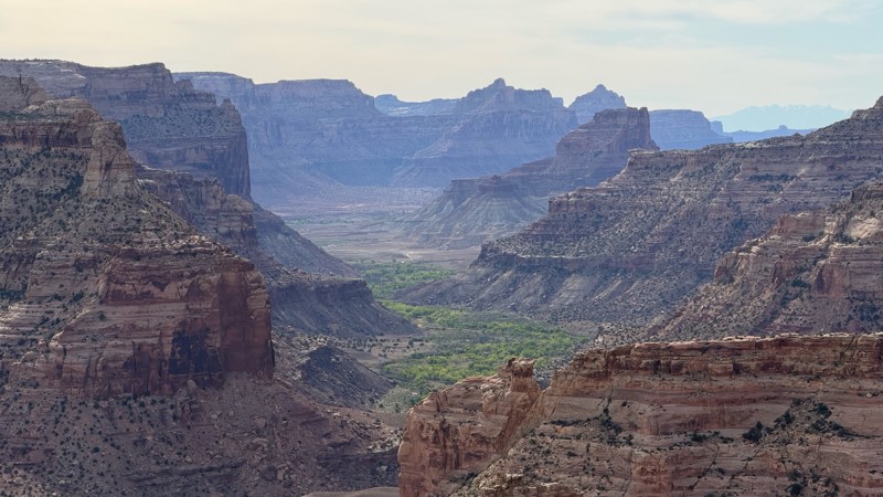
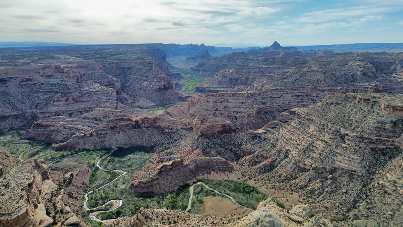
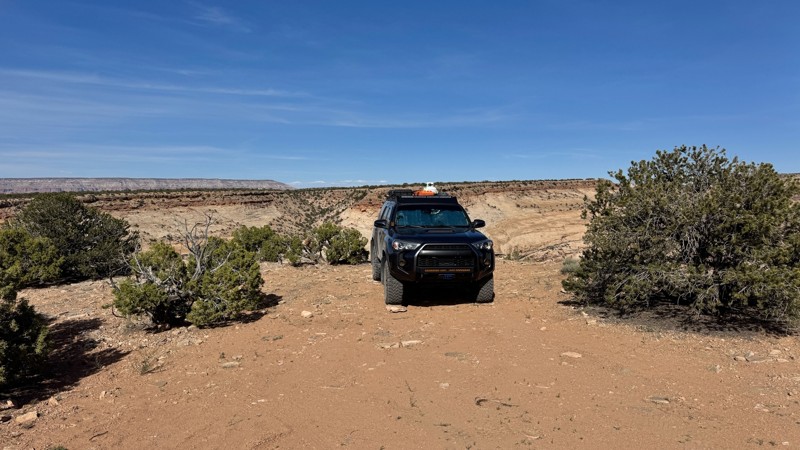
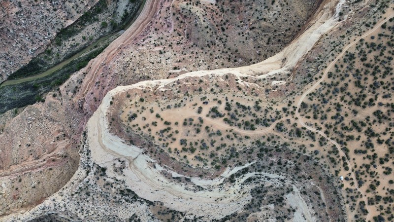
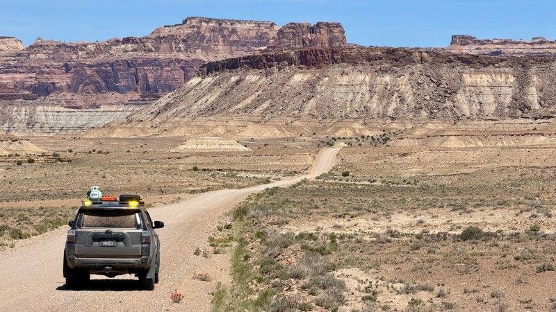
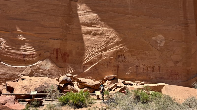
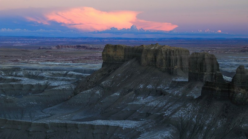
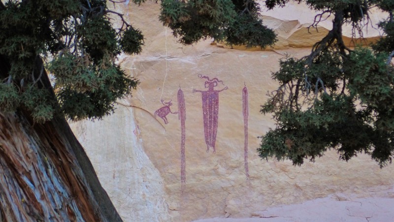
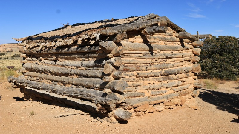
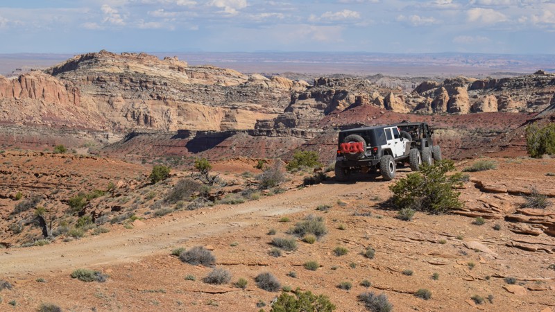
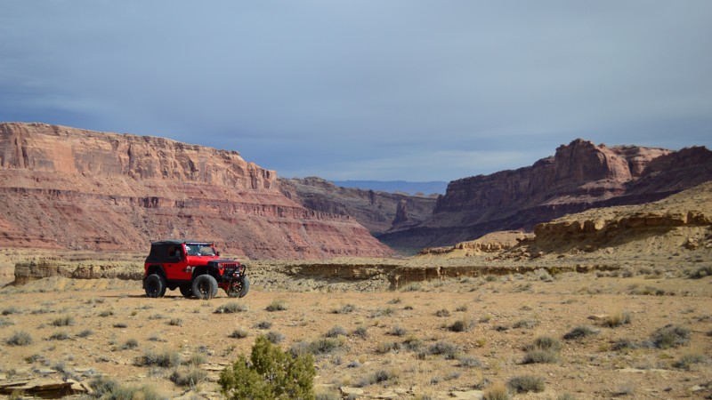
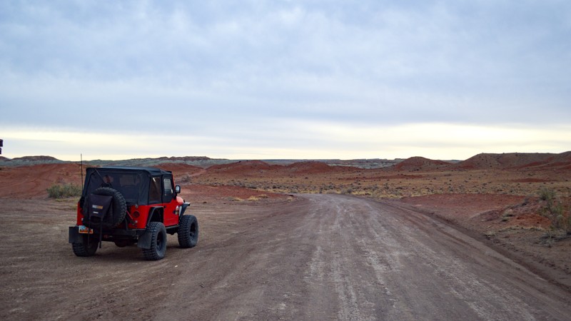
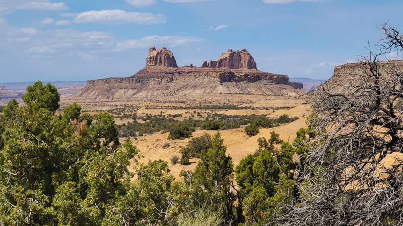
"The Swell," located in south-central Utah, is a geological upheaval that created a colorful desert landscape with towering buttes and narrow slot canyons.  Encompassing 900 square miles, San Rafael Swell is an outdoor paradise with abundant trails for all types of offroad enthusiasts.  There are numerous historical sites where you can get up close to America's best ancient Native American artwork or step into an old log cabin.  Buckhorn Draw and Black Dragon Wash trails travel into narrow slot canyons with designated sites for viewing the artwork. 

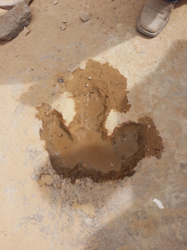
The trail system is vast and divided into two regions by Interstate 70.  The southern area trails are easier and less popular with the average weekend user.  Day trips can include stops at Goblin Valley State Park or squeezing your way through Crack Canyon and Chute Canyon hiking trails along the Behind The Reef trail.  The northern section includes the more difficult and famous 4x4 trails like Eagle Canyon, Devil's Racetrack, and Fix-it Pass; all three have breathtaking views and adrenaline-pumping rock-crawling obstacles.  The far northern region near Wellington, UT, includes an educational stop at Jurassic National Monument, a real-time dinosaur dig open to visitors. 

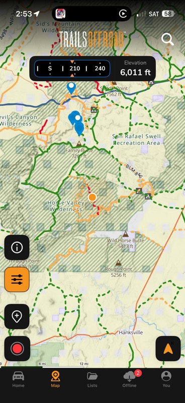
The winter months can be below freezing during the day, and summer temperatures can be over 100° in the shade.  The vast majority of the region is managed by the Bureau of Land Management, which allows camping up to 15 days.  Several areas are protected and designated as no camping; most of these sites are around ancient artwork sites.  Buckhorn Draw now has paid campsites along this very well-groomed scenic drive.  While other, more remote trails have that private campsite with a canyon view you've been searching for.  The Swell is remote, requiring planning, even for a day trip; venturing into this vast desert also requires a map system you can count on.  Preload the San Rafael regional trails offline before you begin your adventure.

Top Reasons to Explore Here

Basemaps
Go All-Access to Unlock


TRAILS OFFROAD™ TRAIL TYPES
Trail Guide
Full detailed write up with Advanced Rating System, Waypoints, Video, and more.
Scout Route
Lite version with highlights, camping, and hardest part documented. Vetted in person.
TRAIL DIFFICULTY RATINGS
easy (1-2)
Suitable for high clearance 2WD
moderate (3-4)
Best suited for a high clearance 4x4
difficult (5-6)
Best suited for a lightly modified 4x4
severe (7-8)
Best suited for a highly modified 4x4
extreme (9-10)
Best suited for specialized buggy type vehicles
LAYERS

Most Recent Trail Reviews

Most Popular

Search for Trails
Utah: Lower Last Chance Loop Hero Photo
Scout Route Icon
4.4/5 (5 reviews)
Updated: 01/09/2026

Lower Last Chance Loop

Whipup, Utah
Lower Last Chance Loop road is a very scenic route from the north end of Capitol Reef towards I-70. This easy route is full of diverse and multi-colored and diverse landscapes. It is also home to the Mussentuchit Sand Dunes. There are no established campsites; however, this road is on BLM land.
Utah: Cow Dung Road Hero Photo
Scout Route Icon
5/5 (3 reviews)
Updated: 10/15/2024

Cow Dung Road

Hanksville, Utah
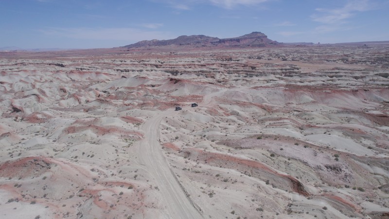
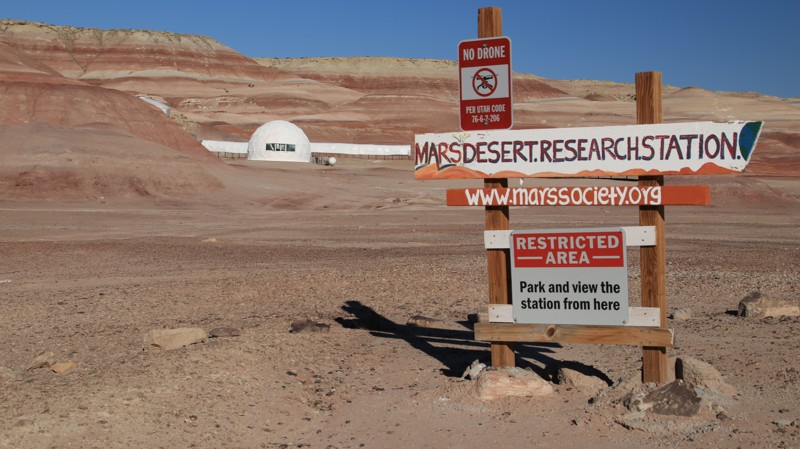
Cow Dung Road runs north from Highway 24 through a moonscape of multi-hued bentonite hills ending at an overlook with views of Muddy Creek. Along the way, the trail passes the Mars Research Station and the Hanksville Burpee Dinosaur Quarry. So if the trail's name doesn't pique your interest, maybe dinosaurs and Martians will. The bentonite hills provide the otherworldly setting for the Mars Research Station. It is on Utah State Trust land, so you may only view it from a small pullout. The dinosaur quarry, behind a wooden fence, has a large parking lot suitable for camping. A few small campsites sit near the beginning of the road. Factory Butte looms on the western horizon on the latter portions of the trail. The trail is graded to the dinosaur quarry. After the quarry, it becomes a narrow two-track to the end. Rains may cause the bentonite to become so slick that the road is impassable.
Utah: Molly's Castle / Goblin Valley Cutoff Road Hero Photo
Scout Route Icon
4.4/5 (8 reviews)
Updated: 08/11/2026

Molly's Castle / Goblin Valley Cutoff Road

Hanksville, Utah
Running from Highway 24 to the Goblin Valley State Park, this little trail has rocks and sand to contend with, along with some amazing views. The trail is mostly sandy with some rocky climbs offering just a little challenge for the adventurous. There's no camping on this trail, but plenty of dispersed camping nearby. Goblin Valley State Park also has a campground.
Utah: McKay Flat Road Hero Photo
All-Access Icon
3.8/5 (14 reviews)
Updated: 04/10/2024

McKay Flat Road

Hanksville, Utah
In the beauty of Central Utah lies the great San Rafael Swell. Running through the land are miles of off-road trails taking you to some incredible places. McKay Flat Road is no exception. Beginning just a short distance off of Temple Mountain Road, McKay Flat Road provides some incredible scenic opportunities while connecting you to some of the other incredible trails in the swell. If you are looking to camp away from the crowds of the campgrounds, this trail also provides many dispersed camping options. Combine this trail with the Reds Canyon Trail and Hidden Splendor for an unforgettable journey.
Utah: Skyline View / Factory Bench Hero Photo
Scout Route Icon
4.4/5 (9 reviews)
Updated: 07/21/2026

Skyline View / Factory Bench

Hanksville, Utah

West of Factory Butte is Factory Bench which hosts the uber-popular Skyline View camping area. Skyline View overlooks an otherworldly landscape of multi-hued bentonite hills. Often referred to as the Moonscape Overlook, this place looks so unearthly that it hosts the Mars Research Station. Sunsets and sunrises from the campsites scattered along the edge of Factory Bench are amazing. The northernmost spur has large flat campsites and is the most popular. Smaller campsites further south offer more privacy. The BLM roads that make up this trail are ordinarily easy to drive but will become quite difficult after heavy rains.

Utah: Cottonwood Canyon Road Hero Photo
All-Access Icon
3.7/5 (7 reviews)
Updated: 04/13/2024

Cottonwood Canyon Road

Green River, Utah
Travel along the trail of the early settlers, and discover petroglyphs, all while taking in the natural beauty of Cottonwood Canyon Road. This easy desert trail runs along the rugged western edge of the San Rafael Swell, traveling past natural rock formations that were used to help guide travelers following the Old Spanish Trail. Head Rock is one of those, and even though it's all-natural, it looks as if it was chiseled by hand a long time ago. Ancient history prevails with amazing petroglyphs that you have to earn the view seeing the Native American artwork up close by taking a short hike and having a keen eye. Take your time and find all the hidden art pieces, but please do not touch them. Connecting this route with Green River Cutoff and then Buckhorn Draw Road makes an easy all-day historic landmark tour through The Swell.
Utah: The Wickiup Hero Photo
All-Access Icon
3.8/5 (4 reviews)
Updated: 06/18/2025

The Wickiup

Green River, Utah

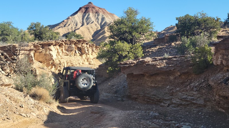
The Wickiups' red cone peak acts as a beacon on the San Rafael Swell landscape. Passing along the base of the colorfully layered mountain, this trail plots a course through desert junipers, pinyon pine, and several colonies of rare cacti. Eventually, the trail breaks out of the trees and opens to vast open plains with expansive views of the surrounding sandstone buttes and spires. The north end of The Wickiup connects with Oil Well Flat and many other scenic trails within The Swell.

The name "Wickiup' derives from the similarly shaped dwellings of early American Indians. The mountain is primarily made up of Sinbad Limestone, dating back to the Triassic era, approximately 200 million years ago. There is a quick but difficult "climbing" trail to the top of the peak.

Utah: Locomotive Point Hero Photo
All-Access Icon
4.7/5 (9 reviews)
Updated: 06/14/2024

Locomotive Point

Green River, Utah

Nestled in the heart of the San Rafael Swell in central Utah, the Locomotive Point trail travels across the picturesque flats known as The Head of Sinbad. Besides the epic canyon camping, this trail has two worthy attractions. The Locomotive Point Pictograph Panel and the Head of Sinbad Pictograph Panel are painted on the walls of the towering sandstone formation for which the trail is named. These Barrier Canyon-style pictographs are estimated to be 1500 to 4000 years old. A quick diversion from the Interstate instantly transports you into a beautiful, rugged landscape with hidden gems around every corner.

Utah: Hatt Ranch Bypass Hero Photo
All-Access Icon
4.2/5 (4 reviews)
Updated: 04/27/2024

Hatt Ranch Bypass

Green River, Utah
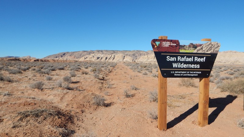
Hatt Ranch Bypass is a pleasant addition to the very popular Black Dragon Wash because it easily brings you south of Intestate 70 to the lesser-known petroglyphs on Three Fingers trail. The trail begins with a tunnel under the interstate before traveling along the edge of sloping sandstone cliffs boarding the San Rafael Reef Wilderness. In stark contrast to the endless rocks of the San Rafael Swell, this region shows the dramatic change in landscape the reef has created. The rolling plains are magically transformed into a towering wall of multi-colored sandstone. Add this trail to your weeklong expedition across Utah, or pull off the highway to experience a small sample of The Swell.
Utah: South Fork of Coal Wash Hero Photo
All-Access Icon
4/5 (4 reviews)
Updated: 02/17/2024

South Fork of Coal Wash

Ferron, Utah

South Fork Coal Wash, nestled within the stunning San Rafael Swell, captivates visitors with its striking beauty and geological wonders. This remote and awe-inspiring canyon, located in central Utah, showcases towering cliffs, intricate rock formations, and a vibrant array of colors. With its natural beauty, South Fork Coal Wash stands as a captivating testament to the remarkable landscapes found within the San Rafael Swell. This trail is also run in conjunction with Eva Conover to make for a full day of exploring such an amazing area.

Utah: Reds Canyon Overlook Loop Hero Photo
All-Access Icon
5/5 (4 reviews)
Updated: 04/28/2023

Reds Canyon Overlook Loop

Emery, Utah
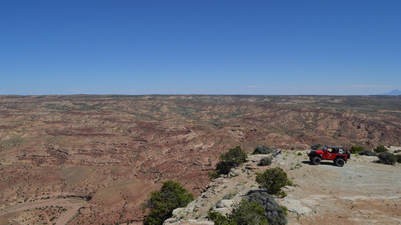
Views for days is the story of this trail. This trail is tucked away in the western side of the San Rafael Swell but needs to be added to the bucket list if you are nearby. Whether you have seen the formations of the Swell, or you are new to this area, you will be amazed at what you can see from the bench. Off to the east, you will overlook the Reds Canyon trail. To the north, you can see Sagebrush Bench and Devil's Point. To the west, you will overlook Link Flats and Cat Canyon, and to the south, you will be looking toward the Lucky Strike Mine and the south end of Reds Canyon where Muddy Creek is flowing. This trail is also an incredible place to camp, providing solitude from the busier areas of the Swell due to the inability of the RV's and big trailers to make it back here. Although not known as an International Dark Sky Park itself, the San Rafael Swell is a star-gazers paradise. Be sure to spend some time checking out what this area has to offer!

Utah: Temple Mine Hero Photo
All-Access Icon
4.5/5 (14 reviews)
Updated: 05/14/2024

Temple Mine

Hanksville, Utah

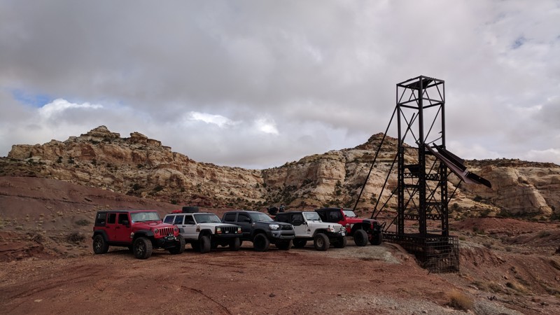
Situated at the southern end of the San Rafael Swell, the Temple Mine is a scenic trip along a ridgeline with inspiring views of Temple Mountain. There are several mining areas to explore. This remote, historic, and seldom traveled route is perfect for the adventurer looking for the hidden nooks and crannies of the San Rafael Swell.

Utah: Swasey's Cabin Hero Photo
Scout Route Icon
4.8/5 (4 reviews)
Updated: 09/23/2026

Swasey's Cabin

Moore, Utah
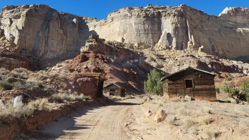
The beautiful San Rafael Swell is known for its fantastic sandstone geology. But the area is full of history, both ancient and more recent. Swasey's Cabin takes you to one piece of that more recent history. Joe Swasey, one of four cattlemen brothers who ranched in the area, built the sturdy log cabin in 1921. Today the cabin still sits against a rock edifice dominated by Broken Cross Tower. Nestled in the rocks is an old spring house designed to keep food and supplies cold by evaporation. The road to Swasey's Cabin is an easy drive off Temple Mountain Road. The road passes Lone Warrior. For the more adventurous, the moderately difficult Eagle Canyon trail begins at the end of Swasey's Cabin. There are numerous campsites off the many small spur trails along Swasey's Cabin. The cabin site parking lot even hosts a pit toilet.
Utah: Wild Horse Canyon Hero Photo
Scout Route Icon
4.7/5 (4 reviews)
Updated: 05/20/2026

Wild Horse Canyon

Moore, Utah

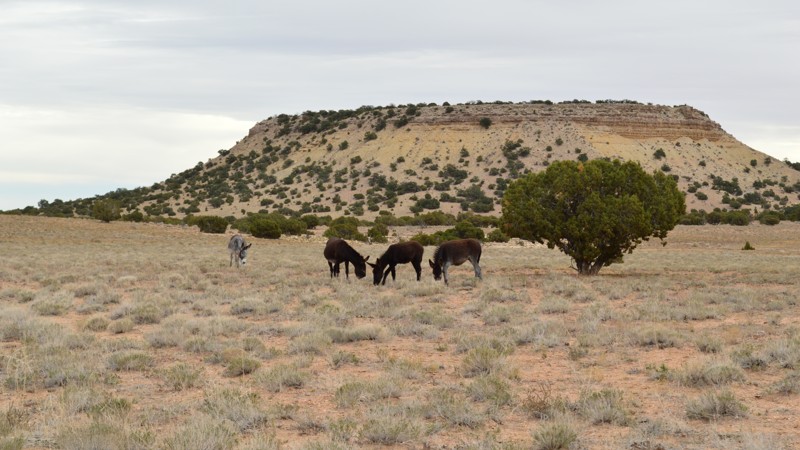
Wild Horse Canyon is an excellent way to continue your Behind the Reef overland adventure into the San Rafael Swell. Ideal for stock type 4x4s, the trail climbs over 1200' from Behind The Reef to sprawling meadows where herds of wild horses are seen grazing. The trail crosses meadow valleys where wild herds spend their days. Wild horses and burros have occupied the region since the Spanish Trail days in the early 1800's. The trail has a few rocky sections that require 4x4, durable tires, and high clearance; however, there are no hard obstacles, steep hill climbs, or extremely narrow ledges. The camping is pretty limited, and only a couple of small pull-off-type sites were found along the route.

Utah: Little Wild Horse Canyon Hero Photo
Scout Route Icon
4.7/5 (7 reviews)
Updated: 06/18/2026

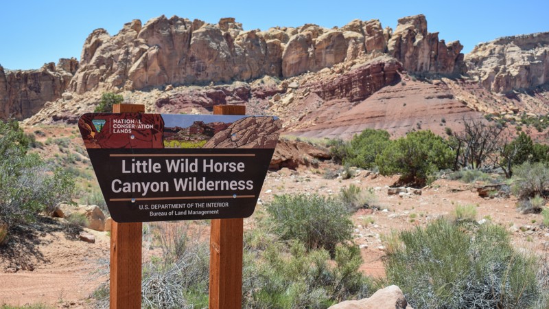
Little Wild Horse Canyon

Hanksville, Utah

Continuing your Behind The Reef adventure through Little Wild Horse Canyon may be the adrenaline boost your overland trip needed. With two choices at the end of Behind the Reef trail, Little Wild Horse is the difficult option for reaching the higher elevations within the San Rafael Swell. The trail winds through a rocky wash before climbing along narrow, steep, rocky ledges. A few hills are long, loose rock, requiring low-range gearing, offroad tires, and a confident driver. The views of the colorful reef, buttes, and canyons go on for miles as you wind your way up to the meadows on top of The Swell. There were no established campsites found along this challenging trail.

Utah: Sulphur Springs Hero Photo
All-Access Icon
2/5 (1 reviews)
Updated: 11/04/2021

Sulphur Springs

Green River, Utah
Located on the eastern side of the San Rafael Swell just west of Green River, Utah, Sulpher Springs is a pleasant little side trip off of the Jackass Benches. Although you can no longer drive all the way to the springs due to the Mexican Mountain Wilderness Study Area, it is still a nice drive with spectacular views of the Lower Black Box Canyon area. You also have the opportunity to hike all the way down to the springs and the San Rafael River.
Utah: Round Knoll Hero Photo
All-Access Icon
3.7/5 (3 reviews)
Updated: 07/01/2025

Round Knoll

Green River, Utah

An ideal beginner's route and an excellent addition to The Wickiup, Round Knoll is a meandering scenic route named after a nearby natural flat-top mesa. The route twists, bumps, and drops across varied terrain with lush high desert vegetation. Desert junipers and pinyon pine patches are dense, while shrubs of black brush, rabbitbrush, and several colonies of rare cacti line the route. The northern portion of the route has ever-expansive views of colorful sandstone buttes and spires.

Utah: Jackass Benches Hero Photo
All-Access Icon
3.5/5 (4 reviews)
Updated: 05/04/2024

Jackass Benches

Green River, Utah
The Jackass Benches are a series of small mesas on the eastern side of the San Rafael Swell just west of Green River, Utah. They are named for the wild burros that roam the area. This offroad trail runs along the east side of the benches and is a nice alternate route to return from Swasey's Leap. It also provides access to the trailheads for Sulpher Springs and Black Dragon Wash. There is amazing high desert scenery and a lot of wide, open spaces. Plus, if you're lucky, you'll get to see the wild burros!
Utah: Last Chance Road Hero Photo
Scout Route Icon
5/5 (1 reviews)
Updated: 03/24/2026

Last Chance Road

Whipup, Utah

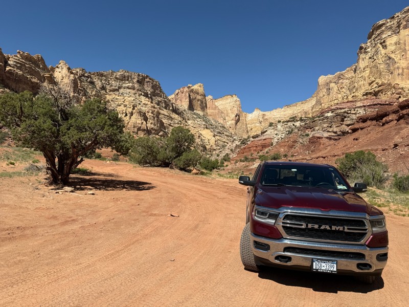
Last Chance Road easily transports you 26 miles into Utah's remote backcountry, where the spires, cliffs, and mountain views will have you saying, "Wow" around every corner—the gravel washboard road winds through several canyons on tight corners and along cliff edges. You will drive for miles across prairies rimmed with towering cliff walls and have abundant choices of private primitive camping. The numerous short offshoots offer semi-secluded camping for a couple of vehicles with tents. The views at every campsite are amazing. The trail connects in the south with the Cathedral Valley Loop trail and numerous other trails with days' worth of scenery to be wowed by. Your vehicle must be very dependable and durable for offroad travel. In dry conditions, the entire route is passable in 2WD. There are no washouts or deep ruts unless driving in the mud, which makes it nearly impassable. Overprepare for the desert with extra fuel, water, and a good working spare tire.

Utah: Buckmaster Mining District Hero Photo
All-Access Icon
5/5 (4 reviews)
Updated: 03/22/2024

Buckmaster Mining District

Green River, Utah
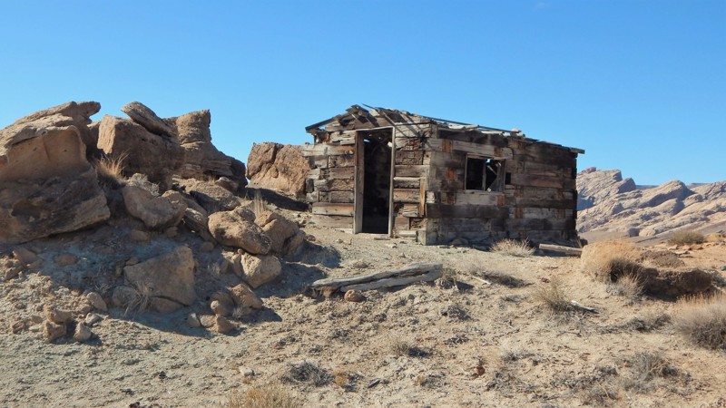
Uranium ores in what is now known as the San Rafael district were first reported by Hess and Schaller way back in 1914. Since that time, this region of Utah has had over 6000 mines open and close. In 2015 the BLM began an ambitious task of properly inspecting and permanently closing all these dangerous sites. They removed all the harmful raw materials and structures but thankfully preserved specific areas for us to visit. Buckmaster has a wide variety of terrain to navigate while you're seeing all the unique points of interest. You can start or finish with the I-70 overlook. Plan an extended break at the old log cabin with epic views of The Swell.
Utah: Horn Silver Gulch (Dutch Flat Road) Hero Photo
All-Access Icon
3/5 (5 reviews)
Updated: 05/06/2026

Horn Silver Gulch (Dutch Flat Road)

Ferron, Utah

Horn Silver Gulch (Dutch Flat Road) is a great way to access the San Rafael Swell. On many parts of the trail, you get some excellent views of this remarkable area of the Swell, Cedar Mountain, and the Molen Reef. It is a mild trail with many camping opportunities, so whether you are looking for a whole weekend or just an afternoon in the Swell, this trail is an excellent way to get there.

Utah: Factory Butte Road Hero Photo
Scout Route Icon
3.4/5 (9 reviews)
Updated: 07/28/2026

Factory Butte Road

Caineville, Utah

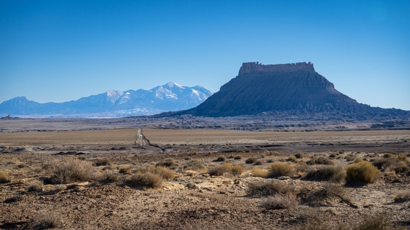
This offroad trail crosses a dead flat plateau of hard-packed, grayish bentonite clay, with views of Factory Butte, the most recognizable feature in the immediate area. It is bordered by Capitol Reef to the west, the Henry Mountains to the south, San Rafael Swell to the north, and the San Rafael Desert to the east. This road gives you access to a vast network of four-wheel drive routes within the Factory Butte OHV system as well as the open OHV areas. It can also be used to connect to Wild Horse Road, which takes you all the way to Goblin Valley on dirt. This is a relatively maintained dirt road, with a few small patches of bumps after rain storms. 2WD and high clearance will be plenty under dry conditions. However, due to the bentonite, 4WD will be required if the trail is wet, but it is advised to avoid it altogether if there is heavy rain in the forecast. Camping is available in many locations, all in the form of dispersed camping. Interestingly, some scenes of Disney's "John Carter" were filmed in the factory butte area.

Utah: Lucky Strike Mine Hero Photo
All-Access Icon
5/5 (6 reviews)
Updated: 04/07/2024

Lucky Strike Mine

Hanksville, Utah
Whether out enjoying the epic overlanding or taking in the stunning scenery of The San Rafael Swell, there is a hidden gem in the shadows of the towering cliffs known as the Lucky Strike Mine. This short off-road trail leads to one of the most unique and well-kept ghost towns of the area. With hours and hours of exploring and adventure, there is no reason to pass this unique feature of the desert, as it is sure to amaze. The next time you have that offroad/overland vehicle packed up and are looking for something unique with great camping options, check out Lucky Strike Mine. You won't be disappointed!
Utah: Oil Well Flat Hero Photo
All-Access Icon
3.7/5 (3 reviews)
Updated: 07/01/2025

Oil Well Flat

Green River, Utah

Oil Well Flat is a fun, offroad trail within the heart of what is truly a natural wonder, the San Rafael Swell. The shifting terrain is sure to keep you wondering what’s around the next bend. You’ll wind through junipers and bobbing slopes of colored sandstone. Beyond a clearing in the trees, the trail parallels the towering sandstone cliffs and towers. Spring and fall are prime seasons to visit, when temperatures are moderate. Ideal for beginners, combining this trail with both The Wickiup and Round Knoll creates a wonderful loop around this mesmerizing landscape.